University Curriculum - Remote Sensing Portal
23
-
Upload
khangminh22 -
Category
Documents
-
view
0 -
download
0
Transcript of University Curriculum - Remote Sensing Portal
- 1 -
Table of contents
Dividing these courses into academic semesters:
There is a flexibility in teaching these courses or some of them during a number of academic semesters that
can be integrated with a university teaching plan. It is recommended to teach the courses in the above
sequence, but unless you offer 2 lectures per week, you will need to divide the RSS courses into two
academic semesters, in this case we recommend dividing them as follows:
First Semester: The RSS courses number 1, 2, 3, 5, and 9 (Course 9 enables producing a final Map).
Second Semester: The RSS Courses number 4, 6, 7, and 8 respectively.
Third Semester: The RSP courses number 10, 11, 12, and 13.
Fourth Semester: The RSSD courses number 14, 15, and 16.
Become a Translator Partner and invest in translating our courses to your language.
Rem
ote Sensin
g Specia
list
Professio
nal
Develo
per
WWW.Remote-Sensing-Portal.com [email protected]
3
13
18
4
5
6
7
8
9
10
11
12
14
15
16
17
19
20
21
Page No.
- 2 -
Advantages & Description of
The Remote Sensing Curriculum
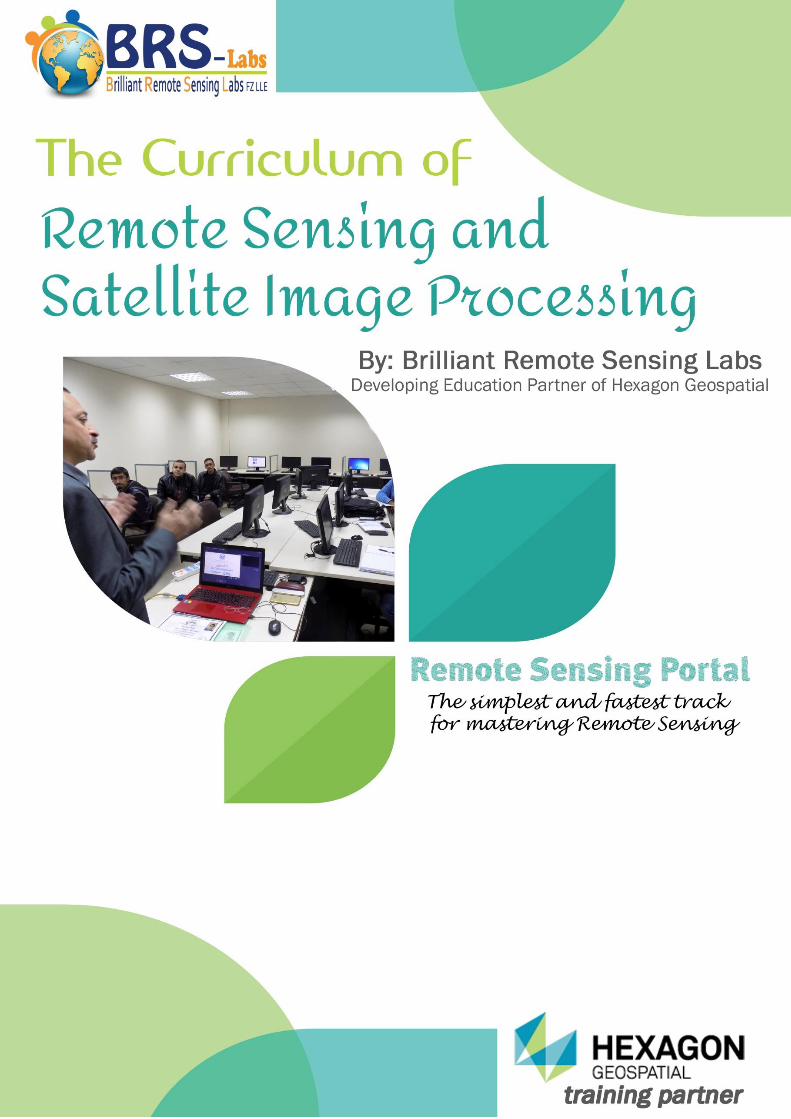
- This curriculum is developed by Brilliant Remote Sensing Labs "BRS-Labs", which is recognized as
a "Developing Education Partner" of Hexagon Geospatial Company in the USA (The Owner of many well-
known Geospatial software such as, ERDAS IMAGINE®, GeoMedia, IMAGINE Photogrammetry, ERDAS
Apollo, and many others). Also, BRS-Labs is a member of the International Society of Photogrammetry and
Remote Sensing "ISPRS".
- More than 1100 students from 104 countries enrolled to BRS-Labs courses till the date of issuing this
document through the Remote Sensing Portal www.remote-sensing-portal.com.
- The entire curriculum can be divided into up to 4 Academic Semesters. Each one is equivalent to 3 credit
hours, studied in a 16 weeks' semester according to the American "Credit Hours" system. Faculties can select
to study a part from the curriculum or all of it according to their real needs or teaching plan. Also, each two
semester can be studied in one semester by doubling the credit hours.
- In each semester students will cover 3 to 5 courses according to the proposed description written in the
bottom of the previous page. The Remote Sensing Portal offers video tutorials and a serious online open book
exam including practical & theoretical parts associated with each course.
- The curriculum can either considered as an entire academic subject, or as a practical or applied part of an
existed subject in fields such as, Geography, Geology, Urban Planning, Surveying, Agriculture, Information
Technology, Space Science or others.
- All our certificates have Hexagon Geospatial's logo, in addition to BRS-Labs' logo.
- The first two semesters cover the international certificate [Remote Sensing Specialist RSSTM], the third
semester covers the international certificate [Remote Sensing Professional RSPTM], and the fourth semester
covers the international certificate [Remote Sensing Solution Developer RSSDTM].
- The working environment of this curriculum simulates a real Remote Sensing & Satellite Image processing
center that exist in space centers and other related Remote Sensing organizations.
- The courses are based on both theoretical and practical work. It uses real satellite images from various well-
known satellites, in addition to one of the top software in the Geospatial field (ERDAS IMAGINE).
- A university member can become a certified trainer by applying to our Certified Trainer Program to qualify
himself /herself to teach our curriculum. Also, a faculty or department can apply in our Certified Training Center
Program to become a local or regional certified training center, and simply, a university can apply to our
University Program to gain many special benefits. Moreover, we have an Organization Program with many
similar advantages for organizations.
- For all the previous courses and programs, special prices applies for developing countries.
- Our online exams run globally twice a week, they are monitored by webcams and students can chat with our
Exam Board. Also, a university can become a Certified Examination Center, knowing that we only issue our
certificates for students who attend and pass our Global online exams.
- These online exams are not obligatory if a student needs only to learn and don’t need to receive a certificate.
- Our courses are available online through the Remote Sensing Portal www.remote-sensing-portal.com. They
are available in two languages up till now (English/Arabic).
Note: You can become a translator partner and invest in translating our courses to your languages (contact us).
- In the following pages, you will find a full description of each course in our curriculum.
- For any further details contact [email protected]
- 3 -
REMOTE SENSING SPECIALIST CERTIFICATE.. RSS™
The Remote Sensing Specialist Certificate... RSS™ includes nine remote sensing and satellite image processing short courses-shown below. The first two short courses are introductory courses with no practical work. The following seven short courses are all practical courses. They are applied on real satellite images and a professional remote sensing software (ERDAS IMAGINE®). The sequence of the courses is ordered in a certain way that delivers remote sensing education simply and gradually, starting from the beginners level and progressing gradually until reaching the specialists level. In the specialist level, you will be able to produce a professional map with all its components such as a grid, scale bar, color key, north arrow, and others. Your map can represent any type of information such as agriculture, soil, environment, or just the name of the roads network and cities. In order to reach this level you will gradually learn how to deal with satellite image processing steps through learning the following: [How to decide the needs of your project and which satellite images are more suitable – How to purchase the needed satellite images and test their quality – How to perform Geometric Correction – How to make a professional visual interpretation for the satellite image features - How to make digitizing and annotation for these features - How to perform analysis for pixels' values – How to classify a satellite image into groups with similar data types (Agriculture, soil, water, urban areas, …) – How to gather all available information in a clear and professional map]. Reaching the Remote Sensing Specialist level and having the RSS™ certificate qualify you to progress to the next level which is the Remote Sensing Professional (RSP™). In the RSP™ level you will be able to perform more professional satellite image processing operations, such as [Mosaicing, Enhancement, Terrain Analysis, 3D simulation, and 3D analysis]. You can take the nine RSS™ courses -or some of them- for training purposes only without attending their online exams. But in order to get the RSS™ certificate, you should pass the nine exams related to the short courses no 1 to 9 -shown below. Additionally, you should perform all practical assignments related to courses no 3 to 9.
- 4 -
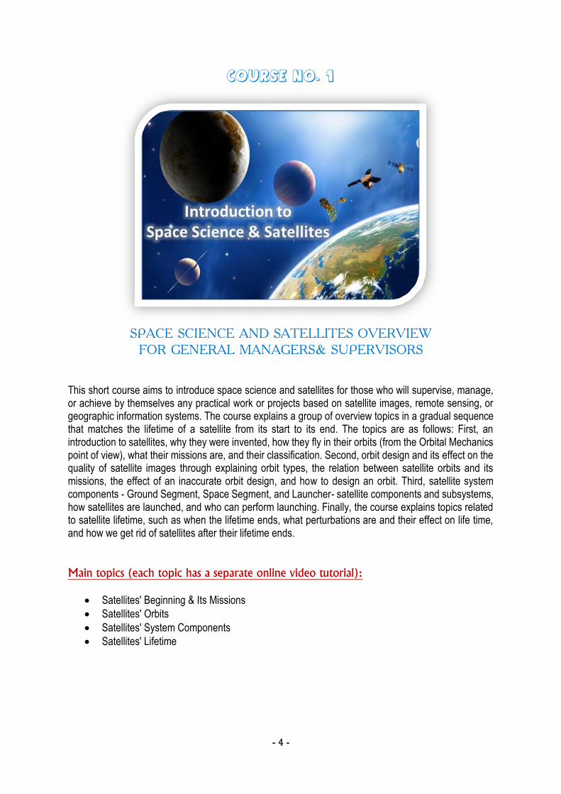
Course No. 1
SPACE SCIENCE AND SATELLITES OVERVIEW
FOR GENERAL MANAGERS& SUPERVISORS This short course aims to introduce space science and satellites for those who will supervise, manage, or achieve by themselves any practical work or projects based on satellite images, remote sensing, or geographic information systems. The course explains a group of overview topics in a gradual sequence that matches the lifetime of a satellite from its start to its end. The topics are as follows: First, an introduction to satellites, why they were invented, how they fly in their orbits (from the Orbital Mechanics point of view), what their missions are, and their classification. Second, orbit design and its effect on the quality of satellite images through explaining orbit types, the relation between satellite orbits and its missions, the effect of an inaccurate orbit design, and how to design an orbit. Third, satellite system components - Ground Segment, Space Segment, and Launcher- satellite components and subsystems, how satellites are launched, and who can perform launching. Finally, the course explains topics related to satellite lifetime, such as when the lifetime ends, what perturbations are and their effect on life time, and how we get rid of satellites after their lifetime ends.
Main topics (each topic has a separate online video tutorial):
Satellites' Beginning & Its Missions
Satellites' Orbits
Satellites' System Components
Satellites' Lifetime

- 5 -
Course No. 2
REMOTE SENSING FUNDAMENTALS
This course represents a preparation phase for the practical remote sensing processes studied in all further courses. It focuses on understanding satellite images and presenting an introduction to remote sensing science fundamentals. It includes an explanation of many important topics, such as various usages and applications of satellite images, types of resolutions, understanding differences between various types of satellite images, data types produced from satellite images, deciding which type of satellite images is most suitable for your project, how to buy a satellite image. Additionally, it includes an explanation of electromagnetic spectrum, waves, frequencies, and a comparison in vision system between humans, animals, and satellite sensors. Finally, the course ends by introducing satellite image processing steps, which will be practically applied in details in the following set of courses. It teaches you how to select the needed image processing steps, and how to decide its suitable sequence according to the target of your project.
Main topics (each topic has a separate online video tutorial):
Introduction to Satellite Images and its Application
Remote Sensing Fundamentals I
Remote Sensing Fundamentals II
Remote Sensing Fundamentals III
Purchaseing Satellite Images
Satellite Images Processing Steps
- 6 -
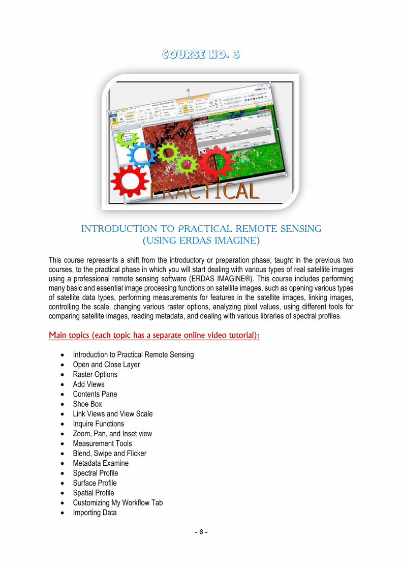
Course No. 3
INTRODUCTION TO PRACTICAL REMOTE SENSING
(USING ERDAS IMAGINE) This course represents a shift from the introductory or preparation phase; taught in the previous two courses, to the practical phase in which you will start dealing with various types of real satellite images using a professional remote sensing software (ERDAS IMAGINE®). This course includes performing many basic and essential image processing functions on satellite images, such as opening various types of satellite data types, performing measurements for features in the satellite images, linking images, controlling the scale, changing various raster options, analyzing pixel values, using different tools for comparing satellite images, reading metadata, and dealing with various libraries of spectral profiles.
Main topics (each topic has a separate online video tutorial):
Introduction to Practical Remote Sensing
Open and Close Layer
Raster Options
Add Views
Contents Pane
Shoe Box
Link Views and View Scale
Inquire Functions
Zoom, Pan, and Inset view
Measurement Tools
Blend, Swipe and Flicker
Metadata Examine
Spectral Profile
Surface Profile
Spatial Profile
Customizing My Workflow Tab
Importing Data
https://www.remote-sensing-portal.com/lectures/raster-options-/?coursetitle=practical-remote-sensing

- 7 -
Course No. 4
SATELLITE IMAGES GEOMETRIC CORRECTION AND MAP
PROJECTION (USING ERDAS IMAGINE) In this course you will learn a quick overview for map projection terminologies and how to perform geometric correction for satellite images in different ways. In the first part of the course you will get an introduction for map projection covering important terminologies, such as Cartography, Geodesy, Geoid, Ellipsoid, Datum, Coordinate types, Projection types. In the second part of the course you will understand the process of geometric correction, how to select ground control points, resampling, performing geometric correction in different methods, performing orthorectification, and reprojection.
Main topics (each topic has a separate online video tutorial):
Map Projection 1
Map Projection 2
Map Projection 3
Image to Image Rectification 1
Image to Image Rectification 2
Image to Image Rectification 3
Rectification by Using GCPs' File
Rectification by Using Keyboard
Orthorectification 1
Orthorectification 2
Reprojection
- 8 -
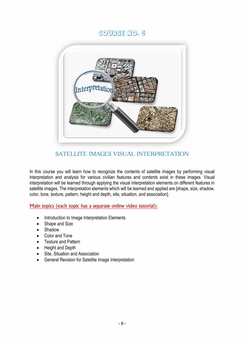
Course No. 5
SATELLITE IMAGES VISUAL INTERPRETATION
In this course you will learn how to recognize the contents of satellite images by performing visual interpretation and analysis for various civilian features and contents exist in these images. Visual interpretation will be learned through applying the visual interpretation elements on different features in satellite images. The interpretation elements which will be learned and applied are [shape, size, shadow, color, tone, texture, pattern, height and depth, site, situation, and association].
Main topics (each topic has a separate online video tutorial):
Introduction to Image Interpretation Elements
Shape and Size
Shadow
Color and Tone
Texture and Pattern
Height and Depth
Site, Situation and Association
General Revision for Satellite Image Interpretation
- 9 -
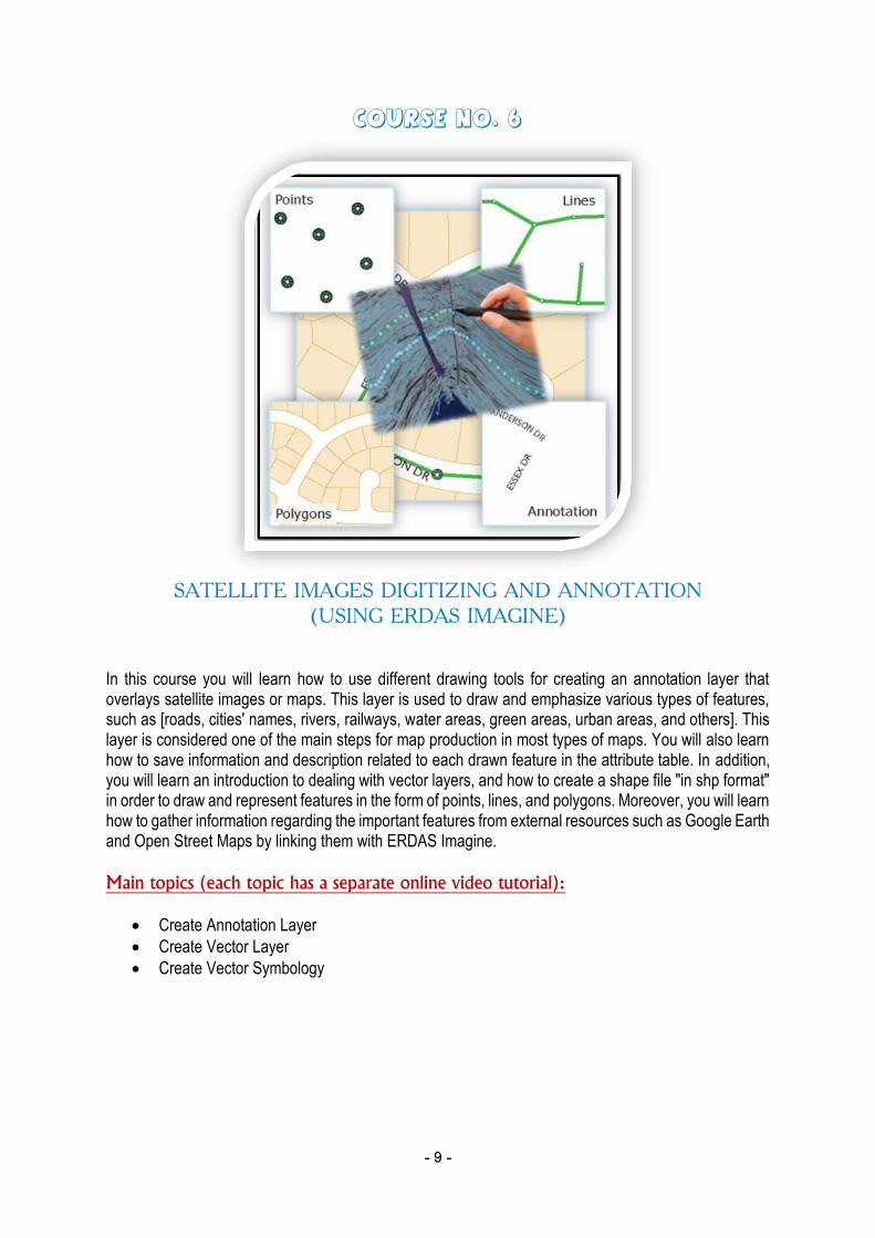
Course No. 6
SATELLITE IMAGES DIGITIZING AND ANNOTATION
(USING ERDAS IMAGINE) In this course you will learn how to use different drawing tools for creating an annotation layer that overlays satellite images or maps. This layer is used to draw and emphasize various types of features, such as [roads, cities' names, rivers, railways, water areas, green areas, urban areas, and others]. This layer is considered one of the main steps for map production in most types of maps. You will also learn how to save information and description related to each drawn feature in the attribute table. In addition, you will learn an introduction to dealing with vector layers, and how to create a shape file "in shp format" in order to draw and represent features in the form of points, lines, and polygons. Moreover, you will learn how to gather information regarding the important features from external resources such as Google Earth and Open Street Maps by linking them with ERDAS Imagine.
Main topics (each topic has a separate online video tutorial):
Create Annotation Layer
Create Vector Layer
Create Vector Symbology
- 10 -
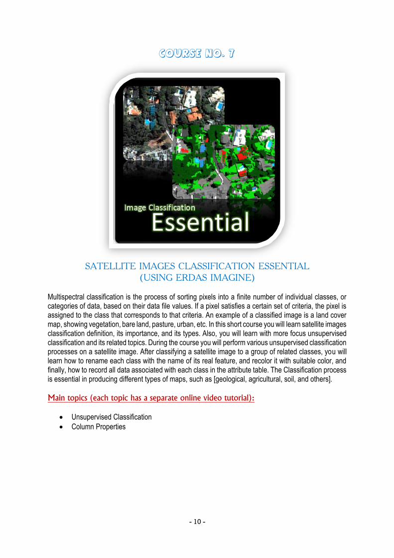
Course No. 7
SATELLITE IMAGES CLASSIFICATION ESSENTIAL
(USING ERDAS IMAGINE) Multispectral classification is the process of sorting pixels into a finite number of individual classes, or categories of data, based on their data file values. If a pixel satisfies a certain set of criteria, the pixel is assigned to the class that corresponds to that criteria. An example of a classified image is a land cover map, showing vegetation, bare land, pasture, urban, etc. In this short course you will learn satellite images classification definition, its importance, and its types. Also, you will learn with more focus unsupervised classification and its related topics. During the course you will perform various unsupervised classification processes on a satellite image. After classifying a satellite image to a group of related classes, you will learn how to rename each class with the name of its real feature, and recolor it with suitable color, and finally, how to record all data associated with each class in the attribute table. The Classification process is essential in producing different types of maps, such as [geological, agricultural, soil, and others].
Main topics (each topic has a separate online video tutorial):
Unsupervised Classification
Column Properties
- 11 -
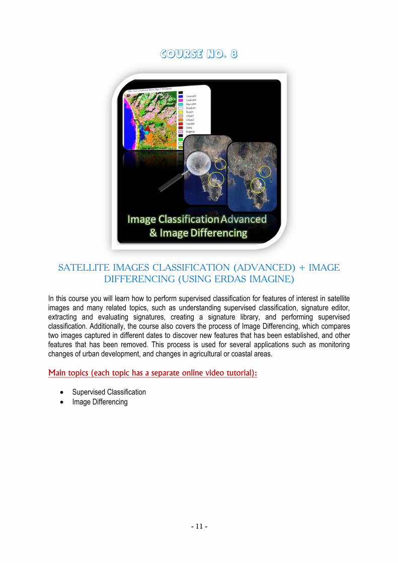
Course No. 8
SATELLITE IMAGES CLASSIFICATION (ADVANCED) + IMAGE
DIFFERENCING (USING ERDAS IMAGINE) In this course you will learn how to perform supervised classification for features of interest in satellite images and many related topics, such as understanding supervised classification, signature editor, extracting and evaluating signatures, creating a signature library, and performing supervised classification. Additionally, the course also covers the process of Image Differencing, which compares two images captured in different dates to discover new features that has been established, and other features that has been removed. This process is used for several applications such as monitoring changes of urban development, and changes in agricultural or coastal areas.
Main topics (each topic has a separate online video tutorial):
Supervised Classification
Image Differencing
- 12 -
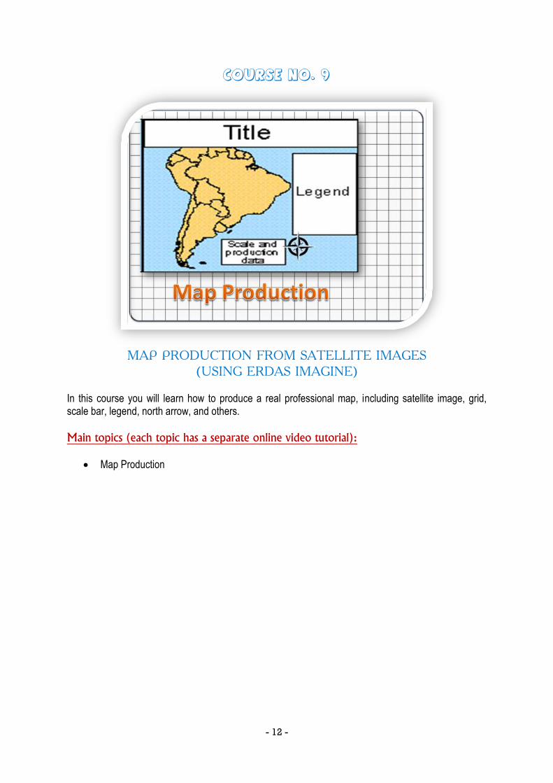
Course No. 9
MAP PRODUCTION FROM SATELLITE IMAGES
(USING ERDAS IMAGINE) In this course you will learn how to produce a real professional map, including satellite image, grid, scale bar, legend, north arrow, and others.
Main topics (each topic has a separate online video tutorial):
Map Production
- 13 -
REMOTE SENSING PROFESSIONAL CERTIFICATE.. RSP™
After finishing the Remote Sensing Specialist short courses and having its RSS™ certificate, you are then qualified to proceed forward to the next level which is The Remote Sensing Professional certificate... RSP™. This certificate includes four additional short courses in remote sensing and satellite image processing. These courses use real satellite images and a professional remote sensing software (ERDAS IMAGINE®) to cover additional topics including the following: [satellite images mosaicing – convolution filters – resolution merge – various enhancement techniques – creating contours – calculating slopes and aspects – shaded relief - 3D viewing for satellite images and data layers – creating flight paths through 3D satellite images – adding 3D models representing buildings, trees, aero-planes, simulating floods and water movement – intervisiblity analysis – adding fog, mist, and others to make realistic 3D effects on satellite images]. Reaching the Remote Sensing Professional level and having the RSP™ certificate qualifies you to progress to the next level which is the Remote Sensing Solution Developer (RSSD™). In the RSSD™ level you will be able to design and develop customized solutions according to the needs of various projects or customers by using advanced Block Programming techniques. You can take the four RSP™ courses -or some of them- for training purposes only without attending their online exams, but in order to get the RSP™ certificate, you should pass the four exams related to the short courses no 10 to 13 -shown below. Additionally, you should perform all practical assignments related to the same courses.

- 14 -
Course No. 10
SATELLITE IMAGES SUBSETING AND MOSAICKING
(USING ERDAS IMAGINE) The study area in which you are interested may span several image files. In this case, it is necessary to combine the images to create one large file. This can be done by using the Mosaicing process which is explained in details in this course. On the other hand, the course also explains the subseting process which is used when an image file contains areas much larger than a particular study area. The subset process reduces the size of the image by cutting the area of interest in a new image file.
Main topics (each topic has a separate online video tutorial):
Mosaick Images Using AOI
Generate Seamline
Create a Virtual Mosaick
Histogram Matching
Subsetting Images
- 15 -
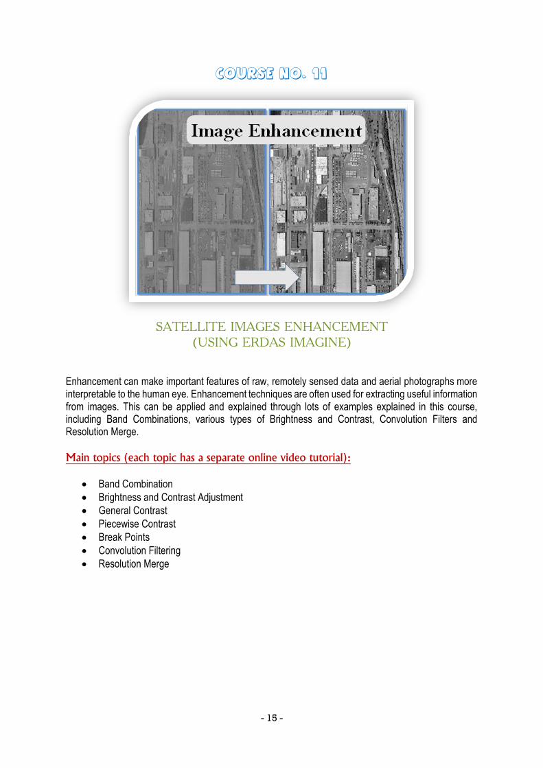
Course No. 11
SATELLITE IMAGES ENHANCEMENT
(USING ERDAS IMAGINE) Enhancement can make important features of raw, remotely sensed data and aerial photographs more interpretable to the human eye. Enhancement techniques are often used for extracting useful information from images. This can be applied and explained through lots of examples explained in this course, including Band Combinations, various types of Brightness and Contrast, Convolution Filters and Resolution Merge.
Main topics (each topic has a separate online video tutorial):
Band Combination
Brightness and Contrast Adjustment
General Contrast
Piecewise Contrast
Break Points
Convolution Filtering
Resolution Merge
- 16 -
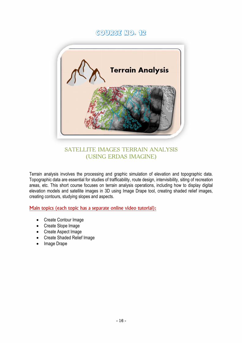
Course No. 12
SATELLITE IMAGES TERRAIN ANALYSIS
(USING ERDAS IMAGINE) Terrain analysis involves the processing and graphic simulation of elevation and topographic data. Topographic data are essential for studies of trafficability, route design, intervisibility, siting of recreation areas, etc. This short course focuses on terrain analysis operations, including how to display digital elevation models and satellite images in 3D using Image Drape tool, creating shaded relief images, creating contours, studying slopes and aspects.
Main topics (each topic has a separate online video tutorial):
Create Contour Image
Create Slope Image
Create Aspect Image
Create Shaded Relief Image
Image Drape

- 17 -
Course No. 13
3D VIEWING & SIMULATION FOR SATELLITE IMAGES USING
VIRTUAL GIS (USING ERDAS IMAGINE) This course focuses on 3D visualization and analysis of satellite images. By the end of the course you will be able to view multiple data layers in 3D, perform lots of things such as simulated flight path, 3D measurements, Floods and water analysis, intervisibility analysis, adding 3D models representing buildings, trees, aero-planes, and others – adding fog, mist, and others in order to add a realistic effect for satellite images, and finally recording 3D movies.
Main topics (each topic has a separate online video tutorial):
3D Viewing
Viewing Data Layers and Performing Measurements
Simulated Flight Path Design
3D Models Viewing
Drawing of 3D Building Models
3D Water Movement Analysis
Intervisibility Analysis
Additional Viewing Tools
- 18 -
REMOTE SENSING SOLUTION DEVELOPER CERTIFICATE.. RSSD™
The Remote Sensing Solution Developer Certificate... RSSD™ includes three remote sensing and satellite image processing short courses. They are organized in a gradual sequence that teaches you step by step how to become a solution developer. They teach you how to think, design, and implement a model or program that solves an important problem, special request, or customized needs. These customized needs can be; for example: finding the best locations for establishing a resort, a communication facility or antenna, a construction area, or others. Also, these customized needs can be performing a certain sequence of image processing or analysis steps. The courses are explained using advanced Block Programing techniques in a very simple way by using ERDAS Imagine Spatial Modeler.
- 19 -
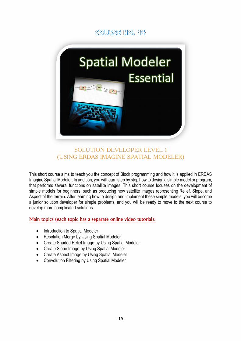
Course No. 14
SOLUTION DEVELOPER LEVEL 1
(USING ERDAS IMAGINE SPATIAL MODELER) This short course aims to teach you the concept of Block programming and how it is applied in ERDAS Imagine Spatial Modeler. In addition, you will learn step by step how to design a simple model or program, that performs several functions on satellite images. This short course focuses on the development of simple models for beginners, such as producing new satellite images representing Relief, Slope, and Aspect of the terrain. After learning how to design and implement these simple models, you will become a junior solution developer for simple problems, and you will be ready to move to the next course to develop more complicated solutions.
Main topics (each topic has a separate online video tutorial):
Introduction to Spatial Modeler
Resolution Merge by Using Spatial Modeler
Create Shaded Relief Image by Using Spatial Modeler
Create Slope Image by Using Spatial Modeler
Create Aspect Image by Using Spatial Modeler
Convolution Filtering by Using Spatial Modeler
- 20 -
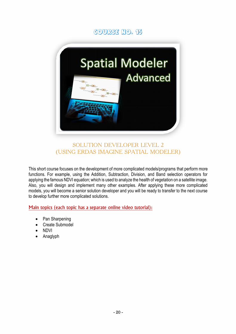
Course No. 15
SOLUTION DEVELOPER LEVEL 2
(USING ERDAS IMAGINE SPATIAL MODELER) This short course focuses on the development of more complicated models/programs that perform more functions. For example, using the Addition, Subtraction, Division, and Band selection operators for applying the famous NDVI equation; which is used to analyze the health of vegetation on a satellite image. Also, you will design and implement many other examples. After applying these more complicated models, you will become a senior solution developer and you will be ready to transfer to the next course to develop further more complicated solutions.
Main topics (each topic has a separate online video tutorial):
Pan Sharpening
Create Submodel
NDVI
Anaglyph
- 21 -
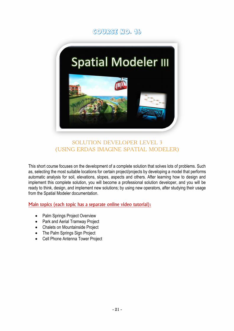
Course No. 16
SOLUTION DEVELOPER LEVEL 3
(USING ERDAS IMAGINE SPATIAL MODELER) This short course focuses on the development of a complete solution that solves lots of problems. Such as, selecting the most suitable locations for certain project/projects by developing a model that performs automatic analysis for soil, elevations, slopes, aspects and others. After learning how to design and implement this complete solution, you will become a professional solution developer, and you will be ready to think, design, and implement new solutions; by using new operators, after studying their usage from the Spatial Modeler documentation.
Main topics (each topic has a separate online video tutorial):
Palm Springs Project Overview
Park and Aerial Tramway Project
Chalets on Mountainside Project
The Palm Springs Sign Project
Cell Phone Antenna Tower Project
- 22 -