WMO No 9 - Weather Reporting -- Volume D
793
WEATHER REPORTING MESSAGES MÉTÉOROLOGIQUES МЕТЕОРОЛОГИЧЕСКИЕ СООБЩЕНИЯ INFORMES METEOROLOGICOS VOLUME/TOM/VOLUMEN D INFORMATION FOR SHIPPING RENSEIGNEMENTS POUR LA NAVIGATION MARITIME CATALOGUE DES BULLETINS MÉTÉOROLOGIQUES МЕТЕОРОЛОГИЧЕСКИЕ СООБЩЕНИЯ ИHФOPMAЦИЯ ДЛЯ CYДOXOДCTBA INFORMACIÓN PARA LA NAVEGACIÓN MARÍTIMA 2012 World Meteorological Organization Organisation météorologique mondiale Всемирная Метеорологическая Организация Organización Meteorológica Mundial WMO/OMM/BMO No. 9 Weather y Climate y Water
-
Upload
khangminh22 -
Category
Documents
-
view
0 -
download
0
Transcript of WMO No 9 - Weather Reporting -- Volume D

WEATHER REPORTING MESSAGES MÉTÉOROLOGIQUES МЕТЕОРОЛОГИЧЕСКИЕ СООБЩЕНИЯ INFORMES METEOROLOGICOS
VOLUME/TOM/VOLUMEN D
INFORMATION FOR SHIPPING RENSEIGNEMENTS POUR LA NAVIGATION MARITIME CATALOGUE DES BULLETINS MÉTÉOROLOGIQUES МЕТЕОРОЛОГИЧЕСКИЕ СООБЩЕНИЯ ИHФOPMAЦИЯ ДЛЯ CYДOXOДCTBAINFORMACIÓN PARA LA NAVEGACIÓN MARÍTIMA
2012
World Meteorological Organization
Organisation météorologique mondiale Всемирная Метеорологическая Организация
Organización Meteorológica Mundial
WMO/OMM/BMO No. 9
Weather Climate Water

WEATHER REPORTING MESSAGES MÉTÉOROLOGIQUES МЕТЕОРОЛОГИЧЕСКИЕ СООБЩЕНИЯ INFORMES METEOROLOGICOS
VOLUME/TOM/VOLUMEN D
INFORMATION FOR SHIPPING RENSEIGNEMENTS POUR LA NAVIGATION MARITIME CATALOGUE DES BULLETINS MÉTÉOROLOGIQUES МЕТЕОРОЛОГИЧЕСКИЕ СООБЩЕНИЯ ИHФOPMAЦИЯ ДЛЯ CYДOXOДCTBA INFORMACIÓN PARA LA NAVEGACIÓN MARÍTIMA
2012 Edition
World Meteorological Organization
Organisation météorologique mondiale Всемирная Метеорологическая Организация
Organización Meteorológica Mundial
WMO/OMM/BMO No. 9
COPYRIGHT
© World Meteorological Organization The right of publication in print, electronic and any other form and in any language is reserved by WMO. Short extracts from WMO publications may be reproduced without authorization, provided that the complete source is clearly indicated. Editorial correspondence and requests to publish, reproduce or translate this publication in part or in whole should be addressed to:
Chairperson, Publications Board World Meteorological Organization (WMO) 7 bis, avenue de la Paix P.O. Box No. 2300 CH-1211 Geneva 2, Switzerland Tel.: +41 (0) 22 730 84 03 Fax: +41 (0) 22 730 80 40 E-mail: [email protected]
NOTE:
The designations employed in WMO publications and the presentation of material in this publication do not imply the expression of any opinion whatsoever on the part of the Secretariat of WMO concerning the legal status of any country, territory, city or area, or of its authorities, or concerning the delimitation of its frontiers or boundaries. Opinions expressed in WMO publications are those of the authors and do not necessarily reflect those of WMO. The mention of specific companies or products does not imply that they are endorsed or recommended by WMO in preference to others of a similar nature which are not mentioned or advertised."
© Organisation météorologique mondiale
L’OMM se réserve le droit de publication en version imprimée ou électronique ou sous toute autre forme et dans n’importe quelle langue. De courts extraits des publications de l’OMM peuvent être reproduits sans autorisation, pour autant que la source complète soit clairement indiquée. La correspondance relative au contenu rédactionnel et les demandes de publication, reproduction ou traduction partielle ou totale de la présente publication doivent être adressées au:
Président du Comité des publications Organisation météorologique mondiale (OMM) 7 bis, avenue de la Paix Case postale 2300 CH-1211 Genève 2, Suisse Tél.: +41 (0) 22 730 84 03 Fax: +41 (0) 22 730 80 40 Courriel: [email protected]
NOTE:
Les appellations employées dans les publications de l’OMM et la présentation des données qui y figurent n’impliquent, de la part du Secrétariat de l’Organisation météorologique mondiale, aucune prise de position quant au statut juridique des pays, territoires, villes ou zones, ou de leurs autorités, ni quant au tracé de leurs frontières ou limites. Les opinions exprimées dans les publications de l’OMM sont celles de leurs auteurs et ne reflètent pas nécessairement celles de l’OMM. De plus, la mention de certaines sociétés ou de certains produits ne signifie pas que l’OMM les cautionne ou les recommande de préférence à d’autres sociétés ou produits de nature similaire dont il n’est pas fait mention ou qui ne font l’objet d’aucune publicité.
© Всемирная Метеорологическая Организация
Право на опубликование в печатной, электронной или какой-либо иной форме на каком-либо языке сохраняется за ВМО. Небольшие выдержки из публикаций ВМО могут воспроизводиться без разрешения при условии четкого указания источника в полном объеме. Корреспонденция редакционного характера и запросы в отношении частичного или полного опубликования, воспроизведения или перевода настоящей публикации (статей) следует направлять по адресу:
Director de la Junta de publicaciones Organización Meteorológica Mundial (OMM) 7 bis, avenue de la Paix Case postale 2300 CH-1211 Ginebra 2, Suiza Teл.: +41 (0) 22 730 84 03 Факс: +41 (0) 22 730 80 40 Э-почта: [email protected]
ПРИМЕЧАНИЕ
Обозначения, употребляемые в публикациях ВМО, а также изложение материала в настоящей публикации не означают выражения со стороны Секретариата ВМО какого бы то ни было мнения в отношении правового статуса какой-либо страны, территории, города или района или их властей, а также в отношении делимитации их границ или ырубежей. Мнения, выраженные в публикациях ВМО, принадлежат авторам и не обязательно отражают точку зрения ВМО. Упоминание отдельных компаний или какой-либо продукции не означает, что они одобрены или рекомендованы ВМО и что им отдается предпочтение перед другими аналогичными, но не упомянутыми или не прорекламированными компаниями или продукцией.
© Organización Meteorológica Mundial
La OMM se reserva el derecho de publicación en forma impresa, electrónica o de otro tipo y en cualquier idioma. Pueden reproducirse pasajes breves de las publicaciones de la OMM sin autorización siempre que se indique claramente la fuente completa. La correspondencia editorial, así como todas las solicitudes para publicar, reproducir o traducir la presente publicación (o artículos) parcial o totalmente deberán dirigirse al:
Director de la Junta de publicaciones Organización Meteorológica Mundial (OMM) 7 bis, avenue de la Paix Case postale 2300 CH-1211 Ginebra 2, Suiza Tél.: +41 (0) 22 730 84 03 Fax: +41 (0) 22 730 80 40 Correo electrónico: [email protected]
NOTA:
Las denominaciones empleadas en las publicaciones de la OMM y la forma en que aparecen presentados los datos que contienen no entrañan, de parte de la Secretaría de la Organización, juicio alguno sobre la condición jurídica de ninguno de los países, territorios, ciudades o zonas citados o de sus autoridades, ni respecto de la delimitación de sus fronteras o límites. Las opiniones expresadas en las publicaciones de la OMM son las de los autores y no reflejan necesariamente las de la Organización. La mención de determinados productos o sociedades mercantiles no implica que la OMM los favorezca o recomiende con preferencia a otros análogos que no se mencionan ni se anuncian.
No. 9 - Volume D ¦ Page i
TABLE OF CONTENTS
General Information ....................................................................................................................................... iii-iv
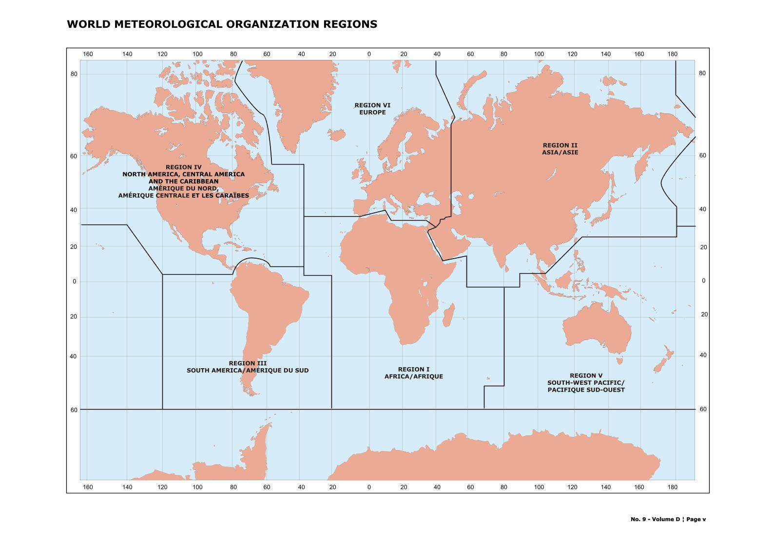
World Map showing limits of WMO Regions ........................................................................................................ v
CHAPTER 1 – GMDSS SERVICES
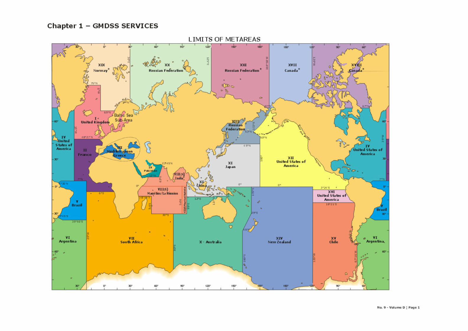
World Map showing limits of METAREAS................................................................................................ 1
GMDSS METAREA coordinates ............................................................................................................. 3-4
Maps of Metareas............................................................................................................................... 5-28
TransmissionScheduleForFullGMDSS .................................................................................................... 29-32
CHAPTER 2 – SATELLITE – INMARSAT C Satellite – Inmarsat C Land Earth Stations (LESs) Accepting code 41 messages......................................... 1-2
CHAPTER 3 - METEOROLOGICAL BROADCASTS BY RADIO-FACSIMILE
Presentation and Explanation of Layout ................................................................................................ 1-2
Map of Radio-Facsimile Stations Transmitting Weather Products .............................................................. 3
Stations listed in country alphabetical order .......................................................................................... 5-64
CHAPTER 4 – METEOROLOGICAL BROADCASTS BY RADIOTELEGRAPHY AND RADIOTELEPHONY
Presentation and Explanation of Layout ................................................................................................ 1-2
Annex I – Index of Stations by METAREA .............................................................................................. 3-24
Annex II – List of Stations by country................................................................................................... 25-40
Stations listed in country alphabetical order .......................................................................................... 41-508
World Map showing NAVTEX stations .................................................................................................... 509
Maps ................................................................................................................................................ 511-578
CHAPTER 5 - VISUAL STORM WARNING SIGNALS
Brief Explanation ............................................................................................................................... 1-2
Annex I - International System of Visual Storm Warning Signals.............................................................. 3
Annex II - National Systems of Visual Storm Warning Signals (Day Signals).............................................. 4
Annex III – National Systems of Visual Storm Warning Signals (Night Signals) .......................................... 5
List of Visual Storm Warning Signals by country .................................................................................... 7-20
CHAPTER 6 – FOCAL POINT CONTACT INFORMATION
National contact points for WMO GMDSS Marine Broadcast System .......................................................... 1-6
Port Meteorological Offices and Ship weather routeing services................................................................ 7-79


No. 9 - Volume D ¦ Page iii
General Information
This Volume includes marine meteorological and other
related geophysical information necessary for safe and
economic conduct of shipping operations, as well as for
fishing and other marine activities.
CHAPTER 1 – The Global Maritime Distress and Safety System (GMDSS) Services
CHAPTER 2 – SATELLITE – INMARSAT C
CHAPTER 3 - Meteorological Broadcasts by Radio-Facsimile
CHAPTER 4 – Meteorological Broadcasts by Radiotelegraphy and Radiotelephony
CHAPTER 5 - Visual Storm Warning Signals
CHAPTER 6 – Focal Point Contact Information
CHAPTER 1 – The Global Maritime Distress and
Safety System (GMDSS) SERVICES
To ensure complete area coverage and adequacy of
services, the Oceans and Seas have been divided into
METAREAS. This Chapter provides charts indicating the
limits of METAREAS together with the area co-ordinates
followed by the transmission schedule for the full GMDSS
service.
The GMDSS of the International Maritime
Organization (IMO) entered into force on 1 February
1992. The high seas marine broadcast system for the
GMDSS, which operates through the International
SafetyNET Service of INMARSAT, was also implemented
from this date.
The GMDSS provides for urgency and safety
communications and the promulgation of maritime safety
information (navigational and meteorological warnings
and forecasts and other urgent safety information).
For some ocean areas, the full GMDSS service is
not yet implemented because of technical reasons related
to access to the appropriate CES. For these areas, an
interim urgent meteorological warning information service
has been put in place.
For the purpose of the preparation and issue of
meteorological warnings and the regular preparation and
issue of weather and sea bulletins, the oceans and seas
are divided into areas for which National Meteorological
Services assume responsibility. The areas of
responsibility together provide complete coverage of
oceans and seas by meteorological information contained
in warnings and weather and sea bulletins for the high
seas. The areas of responsibility as defined in the world
map represents a minimum requirement for issuing and
preparation services.
Preparation Service: Is a National Meteorological Service
which has accepted responsibility for the preparation of
forecasts and warnings for parts of, or an entire,
designated area (METAREA) in the WMO system for the
dissemination of meteorological forecasts and warnings to
shipping under the GMDSS and for their transfer to the
relevant issuing service for broadcast.
Issuing Service: A National Meteorological Service accepts
responsibility for and ensures that meteorological
forecasts and warnings for shipping are disseminated
through the INMARSAT SafetyNET service to the
designated area for which the Service has accepted
responsibility under the broadcast requirements of the
GMDSS. The forecasts and warnings for broadcast may
be prepared solely by the issuing service, or by another
preparation service, or a combination of both, on the basis
of negotiations between the services concerned. The
issuing service is responsible for composing a complete
broadcast bulletin on the basis of information input from
the relevant preparation services, and for inserting the
appropriate EGC header. The issuing service is also
responsible for monitoring the broadcasts of information
to its designated area of responsibility.
Issuing and preparation services may extend
beyond the area of coverage of responsibility if they wish
to meet national requirements. In which case, the area of
coverage should be specified with the broadcast times.

No. 9 - Volume D ¦ Page iv
CHAPTER 2 – SATELLITE – INMARSAT C
Satellite systems operated by the INMARSAT, are
important elements of the GMDSS. The Inmarsat C
provides ship/shore, shore/ship and ship/ship store-and-
forward data and email messaging, the capability for
sending preformatted distress messages to a rescue
coordination center, and the Inmarsat C SafetyNET
service. The Inmarsat C SafetyNET service is a satellite-
based worldwide maritime safety information broadcast
service of high seas weather warnings, NAVAREA
navigational warnings, radionavigation warnings, ice
reports and warnings generated by the USCG-conducted
International Ice Patrol, and other similar information not
provided by NAVTEX. SafetyNET works similarly to
NAVTEX in areas outside NAVTEX coverage.
The International SafetyNET Service, the
Information Provider forward the MSI for a given area to
an Inmarsat Land Earth Station (LESs), for broadcasting
via the satellite network over an entire Inmarsat ocean
region; consequently vessels can receive SafetyNET MSI
anywhere in that Ocean region, irrespective of their
distance from the LES / Information Provider.
CHAPTER 3 - METEOROLOGICAL BROADCASTS BY
RADIO-FACSIMILE
This part contains the facsimile broadcast transmissions of
meteorological charts of interest to shipping and fisheries
provided by some Members.
CHAPTER 4 – METEOROLOGICAL BROADCASTS BY
RADIOTELEGRAPHY AND RADIOTELEPHONY
This part contains the broadcast schedules of weather and
sea bulletins issued throughout the world by
radiotelephony and radiotelegraphy, for shipping and
other marine use. This Chapter provides information on
maritime stations: eg NAVTEX stations, Marine Rescue
Co-ordination Centres, Other maritime stations and
Commercial Stations.
CHAPTER 5 - VISUAL STORM WARNING SIGNALS
This part contains information on the systems of visual
storm warning signals adopted by the various maritime
countries.
Visual storm warning signals are
hoisted, when applicable, at ports for the benefit of
shipping and other marine operations.
CHAPTER 6 – FOCAL POINT CONTACT INFORMATION
This Chapter provides contact information for :
• National contact points for WMO GMDSS marine
broadcast system
• Ship weather routeing services
• Port Meteorological Offices: While in port, the
user may obtain advice or assistance in
meteorological matters by personal contact with
the Port Meteorological Officer (PMO) or the
meteorological office established for the purpose
either at the port itself or at a location outside
the port.
Notification of Changes
In seeking to maintain a high standard of accuracy in the
material published in Volume D, the WMO Secretariat
depends entirely on the goodwill of the meteorological
services throughout the world. Their co-operation in
keeping the Secretariat fully informed of all changes is a
decisive factor in attaining this aim.
General Disclaimer
The designations employed and the presentation of
material in this publication do not imply the expression of
any opinion whatsoever on the part of the Secretariat of
the World Meteorological Organization concerning the
legal status of any country, territory, city or area of its
authorities, or concerning the delimitation of its frontiers
or boundaries.
____________
0 20 40 60 80 100 120 140 160 18020406080120 100140160
0
20
40
60
80
20
40
60
0
20
40
60
80
20
40
60
0 20 40 60 80 100 120 140 160 18020406080120 100140160
REGION IAFRICA/AFRIQUE
REGION IIISOUTH AMERICA/AMÉRIQUE DU SUD
REGION VIEUROPE
REGION IIASIA/ASIE
REGION VSOUTH-WEST PACIFIC/PACIFIQUE SUD-OUEST
WORLD METEOROLOGICAL ORGANIZATION REGIONS
REGION IV
AMÉRIQUE DU NORDAMÉRIQUE CENTRALE
NORTH AMERICA, CENTRAL AMERICAAND THE CARIBBEAN
, ET LES CARAÏBES
No. 9 - Volume D ¦ Page vNo. 9 - Volume D ¦ Page v


CHAPTER 1
GMDSS
GLOBAL MARITIME DISTRESS AND SAFETY SYSTEM
SMDSM LE SYSTÈME MONDIAL DE DÉTRESSE ET DE SÉCURITÉ EN MER


Co-ordinates for GMDSS METAREAS
METAREA Coordinates
I The North Atlantic Ocean east of 35°W, from 48°27'N to 75°N including the North Sea and Baltic Sea sub-area.
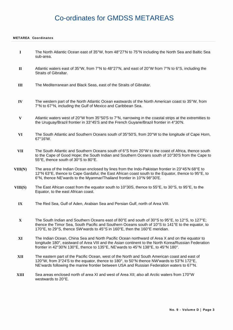
II Atlantic waters east of 35°W, from 7°N to 48°27'N, and east of 20°W from 7°N to 6°S, including the Straits of Gibraltar.
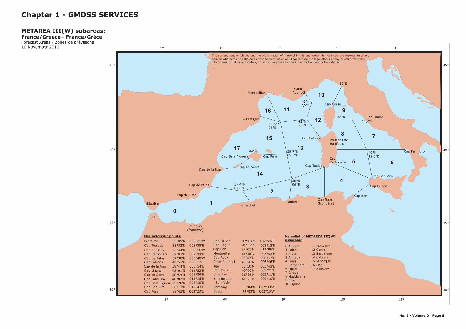
III The Mediterranean and Black Seas, east of the Straits of Gibraltar.
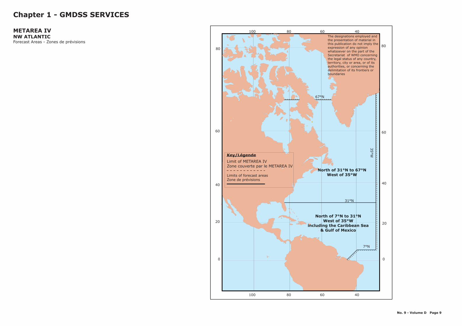
IV The western part of the North Atlantic Ocean eastwards of the North American coast to 35°W, from 7°N to 67°N, including the Gulf of Mexico and Caribbean Sea.
V Atlantic waters west of 20°W from 35°50'S to 7°N, narrowing in the coastal strips at the extremities to the Uruguay/Brazil frontier in 33°45'S and the French Guyane/Brazil frontier in 4°30'N.
VI The South Atlantic and Southern Oceans south of 35°50'S, from 20°W to the longitude of Cape Horn, 67°16'W.
VII The South Atlantic and Southern Oceans south of 6°S from 20°W to the coast of Africa, thence south to the Cape of Good Hope; the South Indian and Southern Oceans south of 10°30'S from the Cape to 55°E, thence south of 30°S to 80°E.
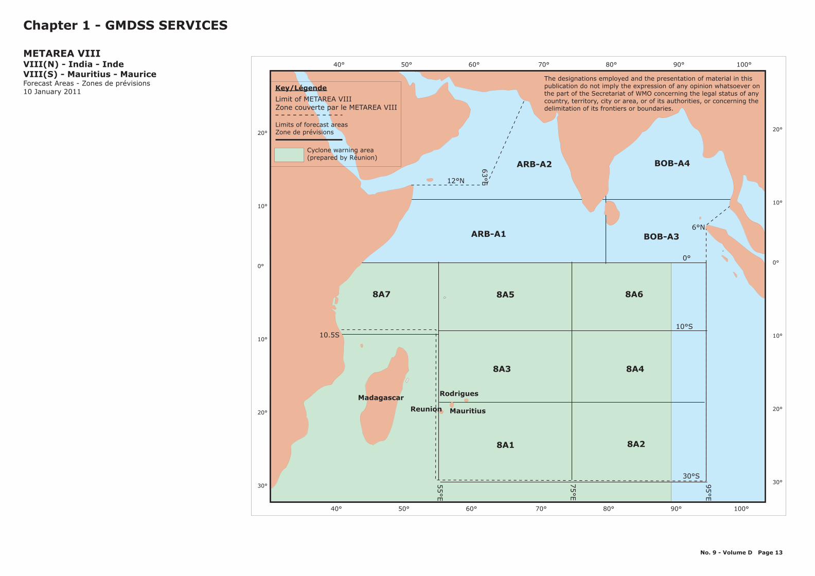
VIII(N) The area of the Indian Ocean enclosed by lines from the Indo-Pakistan frontier in 23°45'N 68°E to 12°N 63°E, thence to Cape Gardafui; the East African coast south to the Equator, thence to 95°E, to 6°N, thence NE'wards to the Myanmar/Thailand frontier in 10°N 98°30'E.
VIII(S) The East African coast from the equator south to 10°30S, thence to 55°E, to 30°S, to 95°E, to the Equator, to the east African coast.
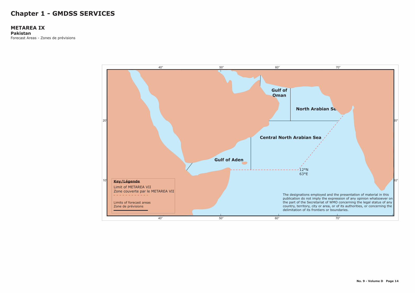
IX The Red Sea, Gulf of Aden, Arabian Sea and Persian Gulf, north of Area VIII.
X The South Indian and Southern Oceans east of 80°E and south of 30°S to 95°E, to 12°S, to 127°E; thence the Timor Sea, South Pacific and Southern Oceans south of 10°S to 141°E to the equator, to 170°E, to 29°S, thence SW'wards to 45°S in 160°E, then the 160°E meridian.
XI The Indian Ocean, China Sea and North Pacific Ocean northward of Area X and on the equator to longitude 180°, eastward of Area VIII and the Asian continent to the North Korea/Russian Federation frontier in 42°30'N 130°E, thence to 135°E, NE'wards to 45°N 138°E, to 45°N 180°.
XII The eastern part of the Pacific Ocean, west of the North and South American coast and east of 120°W, from 3°24'S to the equator, thence to 180°, to 50°N thence NW'wards to 53°N 172°E, NE'wards following the marine frontier between USA and Russian Federation waters to 67°N.
XIII Sea areas enclosed north of area XI and west of Area XII; also all Arctic waters from 170°W westwards to 20°E.
No. 9 - Volume D ¦ Page 3
METAREA Coordinates
XIV The South Pacific and Southern Oceans south of the equator, bounded by Area X to the west, the equator to the north and 120°W to the east.
XV The South Pacific and Southern Oceans south of 18°21'S following the coast of Chile to the longitude of Cape Horn in 67°16'W, and 120°W.
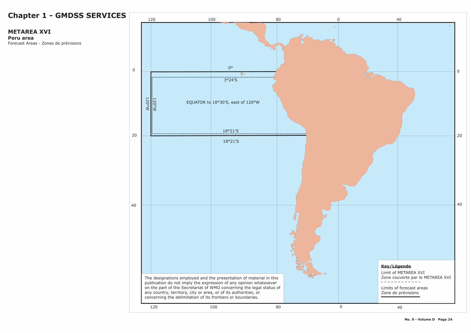
XVI The South Pacific Ocean between 18°21'S and 3°24'S bounded by the coast of Peru and 120°W.
XVII The Arctic Ocean Bound by: 67°00'N 168°58'W, 90°00’N 168°58’W, 90°00’N 120°00’W, to south to the Canadian coastline along the 120°00'W meridian. The Arctic Ocean from south-west corner 67°00'N, 44°00'E to north-east corner 80°00'N, 165°00’W.
XVIII The Arctic OceanBound by: A position on the Canadian coastline at the 120°W meridian to 90°N 120°W, 90°N 035°W, 67°N 035°W.
XIX The Arctic Ocean From a position on the Norwegian coastline at 65°N to 65°N 005°W, 75°N 005°W, West to a position on the Greenland coastline.From the border between Norway and Russia (Inland) to: 69°47’68"N 030°49’16"E, 69°58’48"N 031°06’24"E, 70°22’00"N 031°43’00"E, 71°00'00"N 030°00'00"E.From this geographical position (71°00’00"N - 030°00’00"E) further north along the 030°00’00E meridian to: 90°00’00"N 030°00’00"E, 90°00’00"N 035°00’00"W, South to the Greenland coastline along the 035°00’00W meridian
XX The Arctic Ocean:From the border between Norway and Russia (Inland) to: 69°47’68"N 030°49’16"E, 69°58’48"N 031°06’24"E, 70°22’00"N 031°43’00"E, 71°00’00"N 030°00’00"E.From this geographical position (71°00’00"N - 030°00’00"E) further north along the 030°00’00"E meridian to: 90°00’00"N 030°00’00"E, 90°00’00"N 125°00’00"E, then south to the Russian Federation coastline along the 125°00’00"E meridian.
XXI The Arctic OceanFrom a geographical position on the Russian Federation coastline at the 125°00’00"E meridian to: 90°00’00"N 125°00’00"E, 90°00’00"N 168°58’00"W, 67°00’00"N 168°58’00"W, West to a geographical position on the Russian Federation coastline along the 67°00’00"N parallel
No. 9 - Volume D ¦ Page 4

75°N
27
°30
’W
35°W
40°W 20°W30°W 0° 10°E10°W
40°W
55°N
WestCentralSection
EastCentralSection
WestNorthernSection
EastNorthernSection
Sole
Rockall
Bailey
NorthIceland
DenmarkStrait
NorwegianBasin
Faeroes
65°N
South-eastIceland
Shannon
10°W
5°W
20°W
45°N
Chapter 1 - GMDSS SERVICES
METAREA IUnited Kingdom of Great Britain and Northern IrelandRoyaume Uni de Grande-Bretagne et d'Irlande du Nord
Forecast Areas - Zones de prévisionsHigh Seas6 December 2011
No. 9 - Volume D Page 5
15°W
48°27’N
40°W 20°W30°W 0° 10°E10°W
60°N
65°N
70°N
55°N
50°N
75°N
45°N
80°N
60°N
65°N
70°N
55°N
50°N
75°N
45°N
80°N
Key/Légende
Limit of METAREA IZone couverte par le METAREA I
Limits of forecast areasZone de prévisions
The designations employed and the presentationof material in this publication do not imply theexpression of any opinion whatsoever on the partof the Secretariat of WMO concerning the legalstatus of any country, territory, city or area, or ofits authorities, or concerning the delimitation ofits frontiers or boundaries.
Baltic eaSub Area
-S
30° 20° 10° 0° 10°
Pointe-Noire
Gulf of Guinea
0°
6°
20°W
35°W
48°27’N
7°N
Faraday
45°N
Charcot
Cape Verde
Meteor
Irving
Açores
Altair
Madeira
Josephine
CapBlanc
CapTimiris
25°N
30°N
35°N
15°N
40°N
Canarias
22°W
Sierra Leone
Agadir
Tarfaya
Pazenn
12°W
6°W
Romeo47°30’N
46°30’N
Porto
Finisterre7°W
39°N
S.Vicente
6°W
7°3
0’W
Gibraltar Strait/Estrecho
32°N
Casa-blanca
41°50’N
20°N
13°W
30° 20° 10° 0° 10°
50°
40°
30°
20°
10°
0°
50°
40°
30°
20°
10°
0°
Chapter 1 - GMDSS SERVICES
METAREA IIFranceForecast Areas - Zones de prévisions10 November 2010
Cantabrico
Yeu
Rochebonne
Iroise
Cadiz
No. 9 - Volume D Page 6
The designations employed and the presentationof material in this publication do not imply theexpression of any opinion whatsoever on the partof the Secretariat of WMO concerning the legalstatus of any country, territory, city or area, or ofits authorities, or concerning the delimitation ofits frontiers or boundaries.
Key/Légende
Limit of METAREA IIZone couverte par le METAREA II
Limits of forecast areasZone de prévisions

5° 0° 5° 10° 15° 20° 25° 30° 35° 40°
50°
45°
40°
35°
30°
5219
20
25
21
24 30 31
2629
18
7
6
8
9
10
11
12
13
14
15
0
1
2 34
5
16
17
22
2333
32
34
3537
36
38 39
40
4344
4142
49 5051
2846
47 48
Chapter 1 - GMDSS SERVICES
METAREA IIIFrance/Greece - France/GrèceForecast Areas - Zones de prévisions5 May 2009
45
11 Provence12 Corse13 Sardaigne14 Cabrera15 Minorque16 Lion17 Baleares18 North Adriatic19 Central Adriatic20 South Adriatic
21 Boot22 Melita23 Gabes24 Sidra25 North Ionio26 South Ionio27 Patraikos28 Korinthiakos29 Kithira30 SouthWest Kritiko
31 SouthEast Kritiko Ierapetra32 Taurus33 Delta34 Crusade35 Kastellorizo Sea36 Rodos Sea37 Karpathio38 West Kritiko39 East Kritiko40 SouthWest Aegean
41 SouthEast Aegean Ikario42 Samos Sea43 Saronikos44 South Evvoikos45 Kafireas Strait46 Central Aegean47 NorthWest Aegean48 NorthEast Aegean49 Thrakico50 Marmara
0 Alboran1 Palos2 Alger3 Annaba4 Tunis5 Carbonara6 Lipari7 Circeo8 Maddalena9 Elbe10 Ligure
Cap Bon
5° 0° 5° 10° 15° 20° 25° 30° 35° 40°
50°
45°
40°
35°
30°
53
Limit of METAREA IIIZone couverte par le METAREA III
Limits of forecast areasZone de prévisions
Key/Légende
51 Thermaicos52 West Black Sea53 East Black Sea
No. 9 - Volume D Page 7
33°
18
°30
'
25°
30°
15°
36 40'°
21°50'
23
30’
°
36°24°
27
37°30’
44°
42°
Namelist of METAREA 3 subareas:
The designations employed and the presentation of material in this publication do not imply the expression of any opinionwhatsoever on the part of the Secretariat of WMO concerning the legal status of any country, territory, city or area, or ofits authorities, or concerning the delimitation of its frontiers or boundaries.
7
6
8
9
10
11
12
13
14
15
0
1
23
4
5
16
17
10°E
15°10°5°0°5°
45°
40°
35°
30°
Gibraltar
Ceuta
Cap de Gata
Port Say(frontière)
Cap de Palos
CherchelDjidjelli
Cap Roux(frontière)
Cap Bon
Cap Lilibeo
Cap San Vito
Cap Palimuro
Cap Linaro
Montpellier
Cap de la Nao
Cap Bagur
Saint-Raphaël
37,4°N01,6°E
Cap en Serra
03°E
41,6°N05°E
38°N06°E
39,7°N05,5°E
42°N7,3°E
42°N
Cap Corse
Cap Gala Figuera Cap Pera
Cap Teulada
CapCarbonara
Bouches deBonifacio
40°N12,3°E
11,2°E
43°N7,5°E
45°
40°
35°
30°
15°10°5°0°5°
Chapter 1 - GMDSS SERVICES
(W) subareasMETAREA III :France/Greece - France/GrèceForecast Areas - Zones de prévisions10 November 2010
No. 9 - Volume D Page 8
Cap Falcone
Gibraltar
Cap Teulada
Cap de Gata
Cap Carbonara
Cap de PalosCap Falcone
Cap de la Nao
Cap Linaro
Cap en Serra
Cap PalimuroCap Gala FigueraCap San Vito
Cap Pera
36°09'N 005°21'W
38°52'N 008°38'E
36°44'N 002°16'W
009°33'E39°07'N
000°40'W37°38'N008°12E40°57'N
000°14'E38°44'N
011°52'E42°01'N001°36'E38°54'N015°15'E40°02'N003°10'E39°20'N012°43'E38°12'N
003°28'E39°43'N 002°15'W
012°26'ECap Lilibeo 37°48'N
003°12'ECap Bagur 41°57'N
011°08'ECap Bon 37°01'NMontpellier 003°53'E43°36'NCap Roux 008°47'E36°57'NSaint Raphael
JijelCap Corse
Cherchel
Bouches deBonifacio
Port Say
Ceuta
006°46'E43°26'N
005°43'E36°50'N009°21'E43°00'N
002°11'E36°36'N009°10'E41°23'N
002°30'W35°04'N
35°53'N
0 Alboran1 Palos2 Alger3 Annaba4 Tunis5 Carbonara6 Lipari7 Circeo8 Maddalena9 Elbe10 Ligure
Namelist of METAREAsubareas:
III(W)
11 Provence12 Corse13 Sardaigne14 Cabrera15 Minorque16 Lion17 Baleares
Characteristic points:
The designations employed and the presentation of material in this publication do not imply the expression of anyopinion whatsoever on the part of the Secretariat of WMO concerning the legal status of any country, territory,city or area, or of its authorities, or concerning the delimitation of its frontiers or boundaries.
0
20
40
60
80
0
20
40
60
80
67°N
North of 31°N to 67°NWest of 35°W
North of 7°N to 31°NWest of 35°W
including the Caribbean Sea& Gulf of Mexico
7°N
31°N
35°W
406080100
406080100
Key/Légende
Limit of METAREA IVZone couverte par le METAREA IV
Limits of forecast areasZone de prévisions
Chapter 1 - GMDSS SERVICES
METAREA IVNW ATLANTICForecast Areas - Zones de prévisions
No. 9 - Volume D Page 9
The designations employed andthe presentation of material inthis publication do not imply theexpression of any opinionwhatsoever on the part of theSecretariat of WMO concerningthe legal status of any country,territory, city or area, or of itsauthorities, or concerning thedelimitation of its frontiers orboundaries

70° 60° 50° 40° 30° 20° 10°
70° 60° 50° 40° 30° 20° 10°
0°
10°
20°
30°
0°
10°
20°
30°
N
35°50’S
20°W
H
G
F
E
D
B
A
SC
Trindade
Rio Grande(Junction)
Paranagua
Santos
Rio de Janeiro
Vitoria
Salvador
Olinda
Natal
Fortaleza
Belém
Key/Légende
Limit of METAREA VZone couverte par le METAREA V
Limits of forecast areasZone de prévisions
Chapter 1 - GMDSS SERVICES
METAREA VBrazilForecast Areas - Zones de prévisions
A - ALFA: Arroio Chui - Cabo de Santa MartaB - BRAVO: Cabo de Santa Marta - Cabo Frio (Oceanic)C - CHARLIE: Cabo de Santa Marta - Cabo Frio (Coastal)D - DELTA: Cabo Frio - CaravelasE - ECHO: Caravelas - SalvadorF - FOX-TROT: Salvador - NatalG - GOLF: Natal - São LuizH - HOTEL: São Luiz - Cabo OrangeN - NOVEMBER: North oceanic area (West of 20°W, from 07°N to 15°S)S - SIERRA: South oceanic area (West of 20°W, from 15°S to 36°S)
SIERRA(South Oceanic)
No. 9 - Volume D Page 10
The designations employed and the presentationof material in this publication do not imply theexpression of any opinion whatsoever on the partof the Secretariat of WMO concerning the legalstatus of any country, territory, city or area, or ofits authorities, or concerning the delimitation ofits frontiers or boundaries.

II
DRAKENORTE
20°
30°
40°
50°
60°
70°
20°
30°
40°
50°
60°
70°
34 33 32
45 44 43 42
55 54 53 52
90° 80° 70° 60° 50° 40° 30° 20°
90° 80° 70° 60° 50° 40° 30° 20°
ANTÁRTICOOCÉANO
20°W
67
°16
’W
Costas deTierra del Fuego
Islas Malvinas
Rio de la Plata I
Faro Claramecó (39°S)
Rio Negro (41°S)
Faro Cabo Guardian (48°S)
Punta Rasa del Cabo San Antonio
Bahía Camarones (44°30’S)
Rio Paraná
III
“Vicecomodoro Marambio”
Note: Coastal areas extend 300 n miles offshoreLes zones côtières s’étendent en direction du large jusqu’à 300 milles nautiques de la côte
Chapter 1 - GMDSS SERVICES
METAREA VIArgentina - ArgentineForecast Areas - Zones de prévisions
Key/Légende
Limit of METAREA VIZone couverte par le METAREA VI
Limits of forecast areasZone de prévisions
(1) Sub-areas used in the CMRE Buenos Aires forecasts:
Area I:
Area II:
Area III:
(2) Sub-areas used in the CMAVM forecasts:
(a) COASTAL AREAS:
(b) OCEANIC AREAS:
Boundaries of coastal forecasts areas I, II and III
Covers the Río de la Plata, from the mouths of the Paraná and Uruguay riversup to an imaginary line joining PUNTA DEL ESTE (Uruguay -34º 58'062 S, 54º 57'032W) and PUNTA RASA DEL CABO SAN ANTONIO(Argentina - 36º17'23"S, 56º47'03"W), and the area of the Atlantic Oceanbetween the two geographical points and 300 nautical miles out to sea.
The Atlantic Ocean between 36º17'23"S and 55º00'00"S. Coastal area extends300 nautical miles offshore.This extensive area is subdivided into variable, smaller coastal areas inaccordance to the meteorological situation at the moment of the issuing of theBulletin. The northern and southern boundaries of each subdivision isexpressed in degrees latitude.
Islas Malvinas coasts
Mar de la Flota coastal areaGerlache StraitMargarita Bay areaErebus and Terror Gulf area
Drake South (south of 60º S)Northern Bellingshausen SeaSouthern Bellingshausen SeaNorthern Weddell SeaSouthern Weddell
RSMCBuenos Aires 35 S°
35 50S°
20°W
Atlantic Ocean
90°W
60 S°
No. 9 - Volume D Page 11
The designations employed and the presentationof material in this publication do not imply theexpression of any opinion whatsoever on the partof the Secretariat of WMO concerning the legalstatus of any country, territory, city or area, or ofits authorities, or concerning the delimitation ofits frontiers or boundaries.

Ascension
Mauritius
90° 90°
0°
60° 60°
50°
40°
30° 30°
30°
0°
60°
70°
25
S°
Gough I.
St. Helena
Marion
Crozet
St. Paul
Kerguelen
Amsterdam
Bouvet
South Georgia
S. Orkneys
Falklands(Malvinas)
Note:Forecasts for GOUGH FORTIES, METEORFORTIES, MARION FORTIES,CROZET FORTIES .
Cunene toWalvis
Orange toAgulhas
Agulhas to
East Londonto Maputo
Cape Town
Pretoria
¬
¬¬ ¬
¬
ANTARCTICA
18GOUGH
FORTIES
19METEORFORTIES
20MARION FORTIES
22CROZET(CRO)
23KERGUELEN
(KER)
10TRISTAN 11
CAPE WEST
9TRADES
8ST. HELENA
6ASCENSION
7ANGOLA
Sandwich Group
Tristan da Cunha
14DURBAN
EAST15CAPEEAST
16WEST
AMSTERDAM(WAM )
17AMSTERDAM
(AMS)
12MOZAMBIQUE CHANNEL
13MADAGASCAR
EAST
Chapter 1 - GMDSS SERVICES
South Africa and NamibiaAfrique du Sud et Namibie
METAREA VII
Forecast Areas - Zones de prévisionsKey/Légende
Limit of METAREA VIIZone couverte par le METAREA VII
Limits of forecast areasZone de prévisions
Transmission via AOR-Eareas West of 20°E
Transmission via IORareas East of 20°E
15°S
WEST
EAST
No. 9 - Volume D Page 12
The designations employed and the presentation of material in thispublication do not imply the expression of any opinion whatsoever onthe part of the Secretariat of WMO concerning the legal status of anycountry, territory, city or area, or of its authorities, or concerning thedelimitation of its frontiers or boundaries.
40° 50° 60° 70° 80° 90° 100°
20°
10°
0°
10°
20°
30°
12°N
10°S
6°N
30°S
0°
95°E
75°E
63°E
55°E
8A1 8A2
8A3
8A7 8A5
8A4
8A6
ARB-A1 BOB-A3
ARB-A2 BOB-A4
10.5S
Madagascar Rodrigues
MauritiusReunion
Chapter 1 - GMDSS SERVICES
METAREA VIIIVIII(N) - India - IndeVIII(S) - Mauritius - MauriceForecast Areas - Zones de prévisions10 January 2011
Key/Légende
Limit of METAREA VIIIZone couverte par le METAREA VIII
Limits of forecast areasZone de prévisions
Cyclone warning area(prepared by Réunion)
40° 50° 60° 70° 80° 90° 100°
20°
10°
0°
10°
20°
30°
No. 9 - Volume D Page 13
The designations employed and the presentation of material in thispublication do not imply the expression of any opinion whatsoever onthe part of the Secretariat of WMO concerning the legal status of anycountry, territory, city or area, or of its authorities, or concerning thedelimitation of its frontiers or boundaries.
40° 50° 60° 70°
40° 50° 60° 70°
20°
10°
20°
10°
North Arabian Sea
Central North Arabian Sea
Gulf of Aden
12°N63°E
Gulf ofOman
Chapter 1 - GMDSS SERVICES
METAREA IXPakistanForecast Areas - Zones de prévisions
Key/Légende
Limit of METAREA VIIZone couverte par le METAREA VII
Limits of forecast areasZone de prévisions
No. 9 - Volume D Page 14
The designations employed and the presentation of material in thispublication do not imply the expression of any opinion whatsoever onthe part of the Secretariat of WMO concerning the legal status of anycountry, territory, city or area, or of its authorities, or concerning thedelimitation of its frontiers or boundaries.
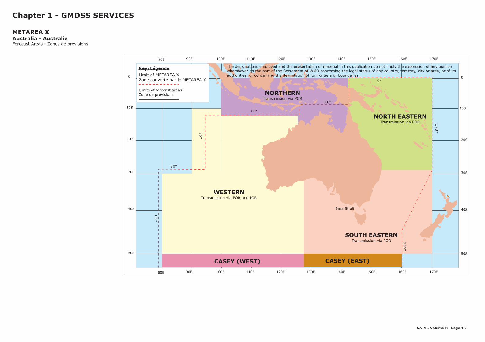
CASEY (WEST) CASEY (EAST)
NORTHERNTransmission via POR
NORTH EASTERNTransmission via POR
SOUTH EASTERNTransmission via POR
20S
10S
0
30S
40S
50S
Bass Strait
Chapter 1 - GMDSS SERVICES
METAREA XAustralia - AustralieForecast Areas - Zones de prévisions
170E150E 160E140E130E120E110E100E90E80E
0°
170°
12°
30°
10°
95°
80°
160°
170E150E 160E140E130E120E110E100E90E80E
20S
10S
0
30S
40S
50S
Key/Légende
Limit of METAREA XZone couverte par le METAREA X
Limits of forecast areasZone de prévisions
WESTERNTransmission via POR and IOR
No. 9 - Volume D Page 15
The designations employed and the presentation of material in this publication do not imply the expression of any opinionwhatsoever on the part of the Secretariat of WMO concerning the legal status of any country, territory, city or area, or of itsauthorities, or concerning the delimitation of its frontiers or boundaries.

20S
10S
0
30S
40S
50S
20S
10S
0
30S
40S
50S
170E150E 160E140E130E120E110E100E90E80E
Bass Strait
EQ
EQ
36°S 90°E
10°S
141°E
WESTERN REGION
INDONESIA AREA OF RESPONSIBILITY*PAPUA NEW GUINEA
AREA OFRESPONSIBILITY
32°S
129°E
160°E
5°S
12°S
FIJIAREA OF
RESPONSIBILITY
NEW ZEALANDAREA OF
RESPONSIBILITY138°S
NORTHERNREGION
EASTERNREGION
Wellington
Nadi
BrisbaneTCWC
Perth TCWC
DarwinTCWC
MAURITIUSAREA OF
RESPONSIBILITY
Jakarta
Port Moresby
Jakarta is responsible for Issuing Tropical Cyclone warnings for land areasDarwin is responsible for issuing Ocean Gale and Storm Warnings.
Chapter 1 - GMDSS SERVICES
Tropical Cyclone Warning Areas
22 January 2008
METAREA XAustralia - Australie
25°S
120 W°
170E150E 160E140E130E120E110E100E90E80E
No. 9 - Volume D Page 16
The designations employed and the presentationof material in this publication do not imply theexpression of any opinion whatsoever on the partof the Secretariat of WMO concerning the legalstatus of any country, territory, city or area, or ofits authorities, or concerning the delimitation ofits frontiers or boundaries.
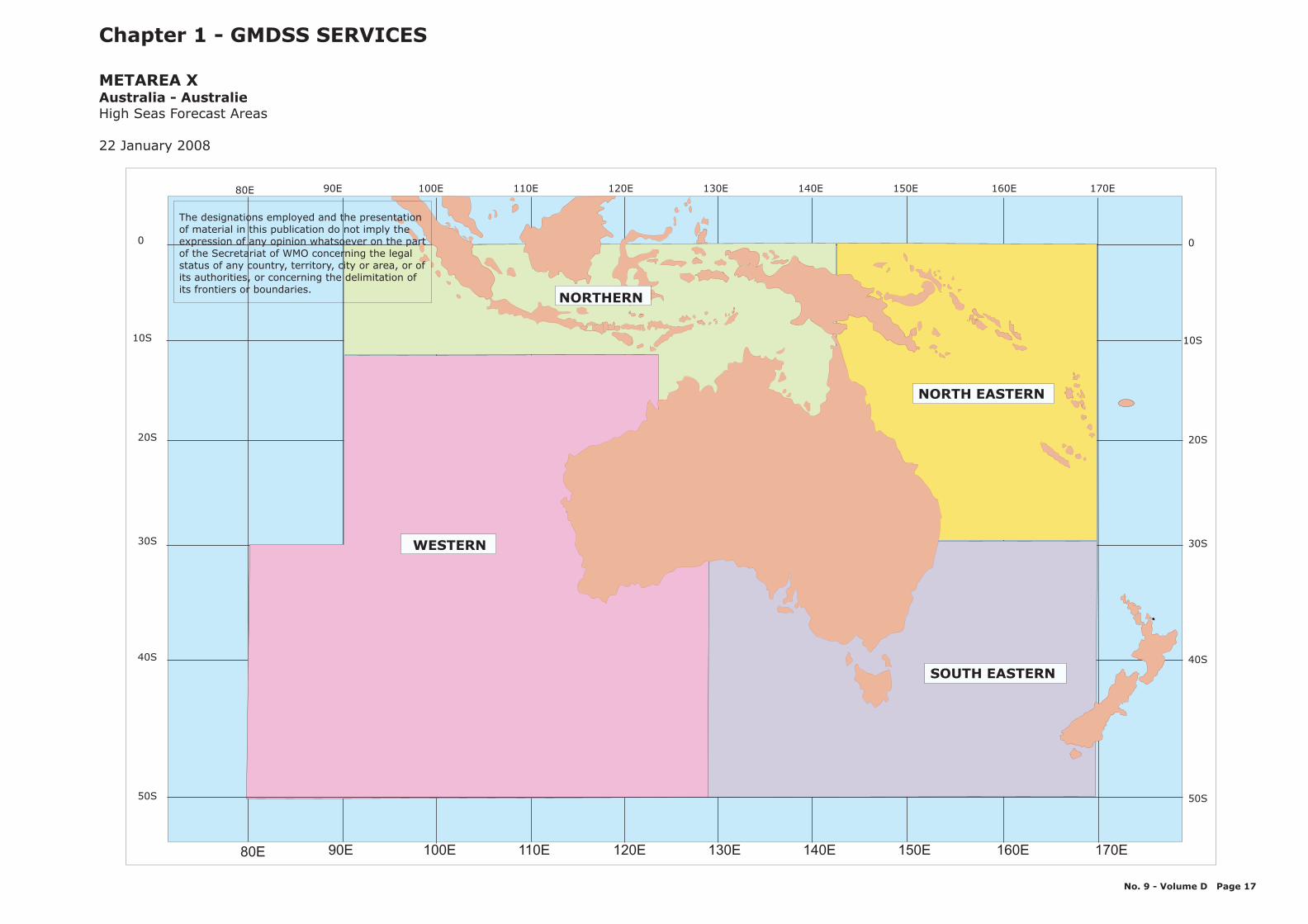
20S
10S
0
30S
40S
50S
170E150E 160E140E130E120E110E100E90E80E
20S
10S
0
30S
40S
50S
170E150E 160E140E130E120E110E100E90E80E
WESTERN
NORTHERN
SOUTH EASTERN
NORTH EASTERN
Chapter 1 - GMDSS SERVICES
High Seas Forecast Areas
22 January 2008
METAREA XAustralia - Australie
The designations employed and the presentationof material in this publication do not imply theexpression of any opinion whatsoever on the partof the Secretariat of WMO concerning the legalstatus of any country, territory, city or area, or ofits authorities, or concerning the delimitation ofits frontiers or boundaries.
No. 9 - Volume D Page 17
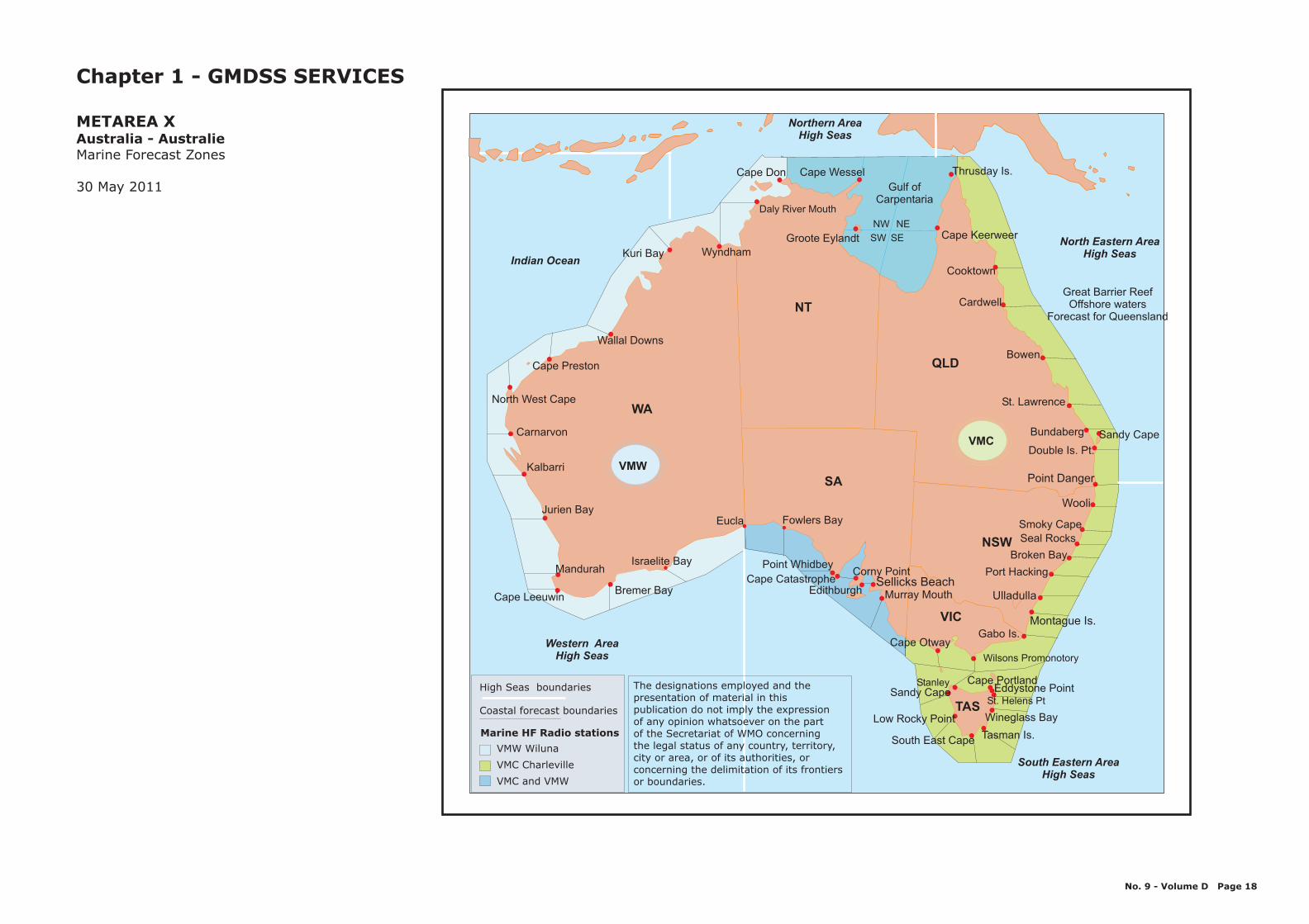
North Eastern AreaHigh Seas
Northern AreaHigh Seas
Western AreaHigh Seas
Indian Ocean
WA
NT
SA
QLD
NSW
VIC
TAS
Wyndham
Cooktown
Bowen
Stanley Cape Portland
Tasman Is.
Cape Keerweer
Double Is. Pt.
Bundaberg
St. Lawrence
Gabo Is.
Ulladulla
Wooli
Cape Otway
Murray MouthSellicks Beach
Edithburgh
Corny Point
Bremer Bay
Israelite Bay
Eucla Fowlers Bay
Carnarvon
North West Cape
Cape Wessel
Groote Eylandt
NW NE
SESW
Gulf ofCarpentaria
Daly River Mouth
Thrusday Is.
Wallal Downs
Cardwell
Sandy Cape
Point Danger
Seal Rocks
Broken Bay
Eddystone Point
Wilsons Promonotory
St. Helens Pt
Wineglass Bay
South Eastern AreaHigh Seas
Sandy Cape
South East Cape
Low Rocky Point
Cape Catastrophe
Point Whidbey
Cape Leeuwin
Mandurah
Jurien Bay
Port Hacking
Kuri Bay
Cape Don
Kalbarri
Cape Preston
VMW
VMC
Great Barrier ReefOffshore waters
Forecast for Queensland
Chapter 1 - GMDSS SERVICES
Marine Forecast Zones
30 May 2011
METAREA XAustralia - Australie
Coastal forecast boundaries
High Seas boundaries
Marine HF Radio stations
VMW Wiluna
VMC Charleville
VMC and VMW
The designations employed and thepresentation of material in thispublication do not imply the expressionof any opinion whatsoever on the partof the Secretariat of WMO concerningthe legal status of any country, territory,city or area, or of its authorities, orconcerning the delimitation of its frontiersor boundaries.
No. 9 - Volume D Page 18
Montague Is.
Smoky Cape
No. 9 - Volume D Page 19
20S
10S
0
30S
40S
50S
20S
10S
0
30S
40S
50S
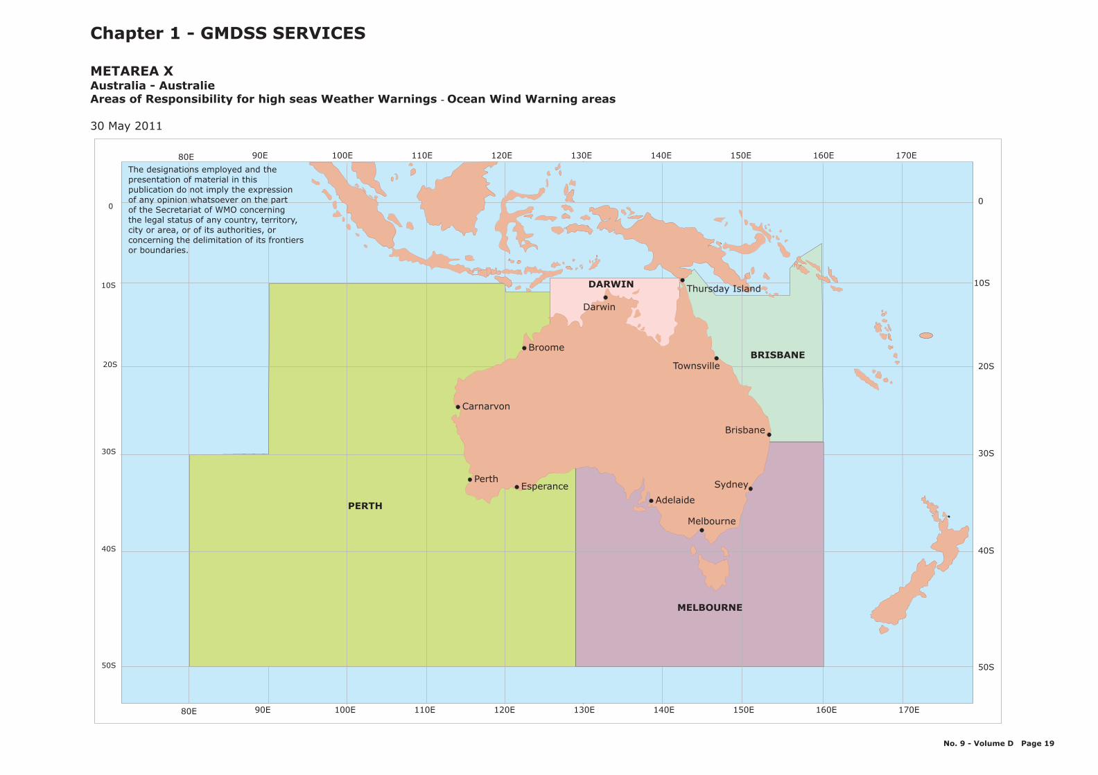
170E150E 160E140E130E120E110E100E90E80E
170E150E 160E140E130E120E110E100E90E80E
Chapter 1 - GMDSS SERVICES
- Ocean Wind Warning areas
30 May 2011
METAREA XAustralia - AustralieAreas of Responsibility for high seas Weather Warnings
MELBOURNE
BRISBANE
PERTH
DARWIN
Broome
Townsville
Sydney
Melbourne
Adelaide
Esperance
Thursday Island
Darwin
Perth
Brisbane
Carnarvon
The designations employed and thepresentation of material in thispublication do not imply the expressionof any opinion whatsoever on the partof the Secretariat of WMO concerningthe legal status of any country, territory,city or area, or of its authorities, orconcerning the delimitation of its frontiersor boundaries.
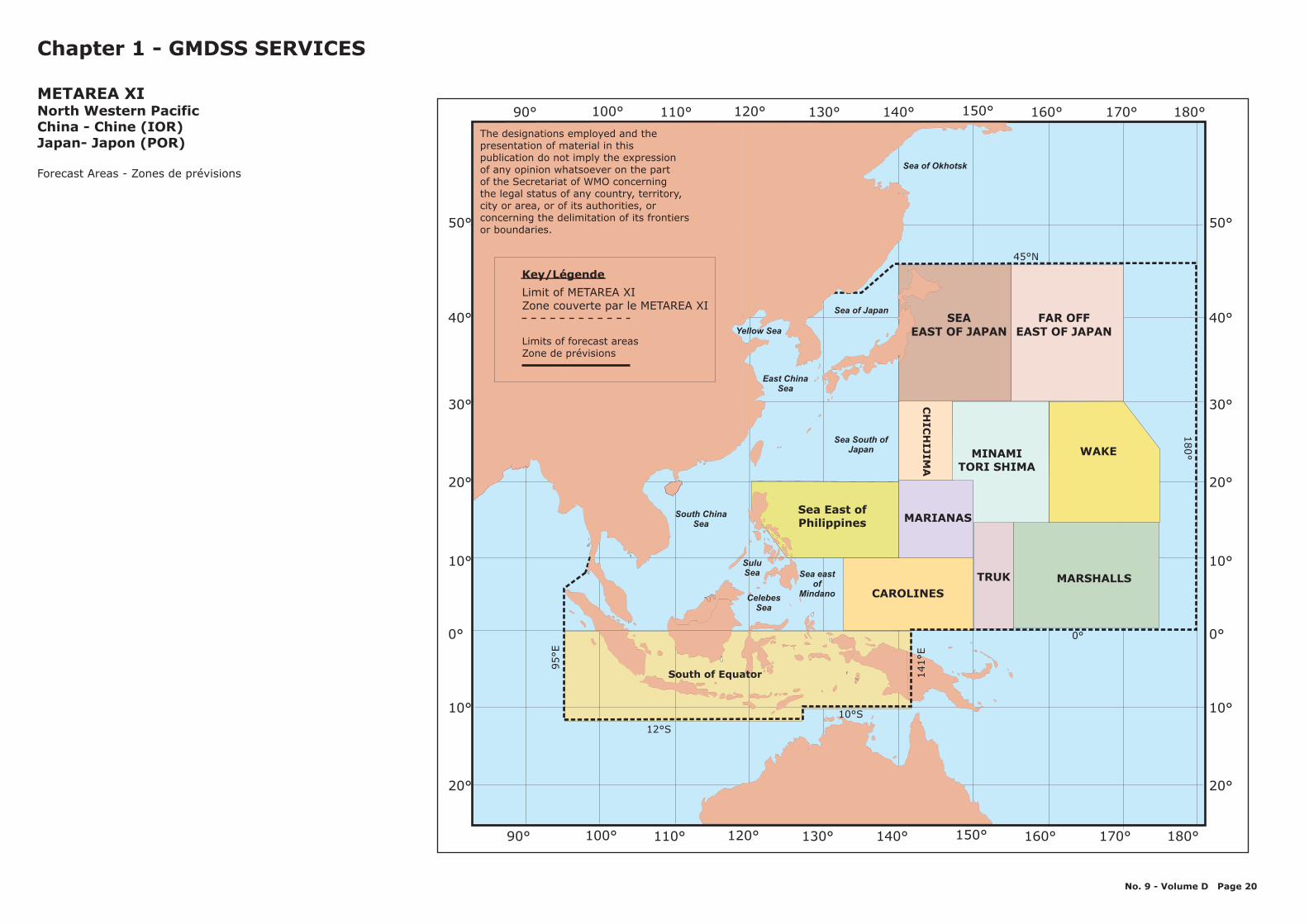
CHINA
THAILAND
MONGOLIA
Sea of Japan
Sea of Okhotsk
0°
100°
10°
20°
30°
40°
50°
10°
20°
110° 120° 130° 140° 150°90° 160° 170° 180°
12°S
95°E
10°S
141°E
0°
180°
45°N
0°
10°
20°
30°
40°
50°
10°
20°
100° 110° 120° 130° 140° 150°90° 160° 170° 180°
Key/Légende
Limit of METAREA XIZone couverte par le METAREA XI
Chapter 1 - GMDSS SERVICES
METAREA XINorth Western PacificChina - Chine (IOR)Japan- Japon (POR)
Forecast Areas - Zones de prévisions
South of Equator
TRUKCAROLINES
MARIANAS
MARSHALLS
CH
ICH
IJIMA
SEAEAST OF JAPAN
FAR OFFEAST OF JAPAN
MINAMITORI SHIMA
WAKE
Sea East ofPhilippines
SuluSea
CelebesSea
Sea eastof
Mindano
Yellow Sea
East ChinaSea
South ChinaSea
Sea South ofJapan
No. 9 - Volume D Page 20
Key/Légende
Limit of METAREA XIZone couverte par le METAREA XI
Limits of forecast areasZone de prévisions
The designations employed and thepresentation of material in thispublication do not imply the expressionof any opinion whatsoever on the partof the Secretariat of WMO concerningthe legal status of any country, territory,city or area, or of its authorities, orconcerning the delimitation of its frontiersor boundaries.
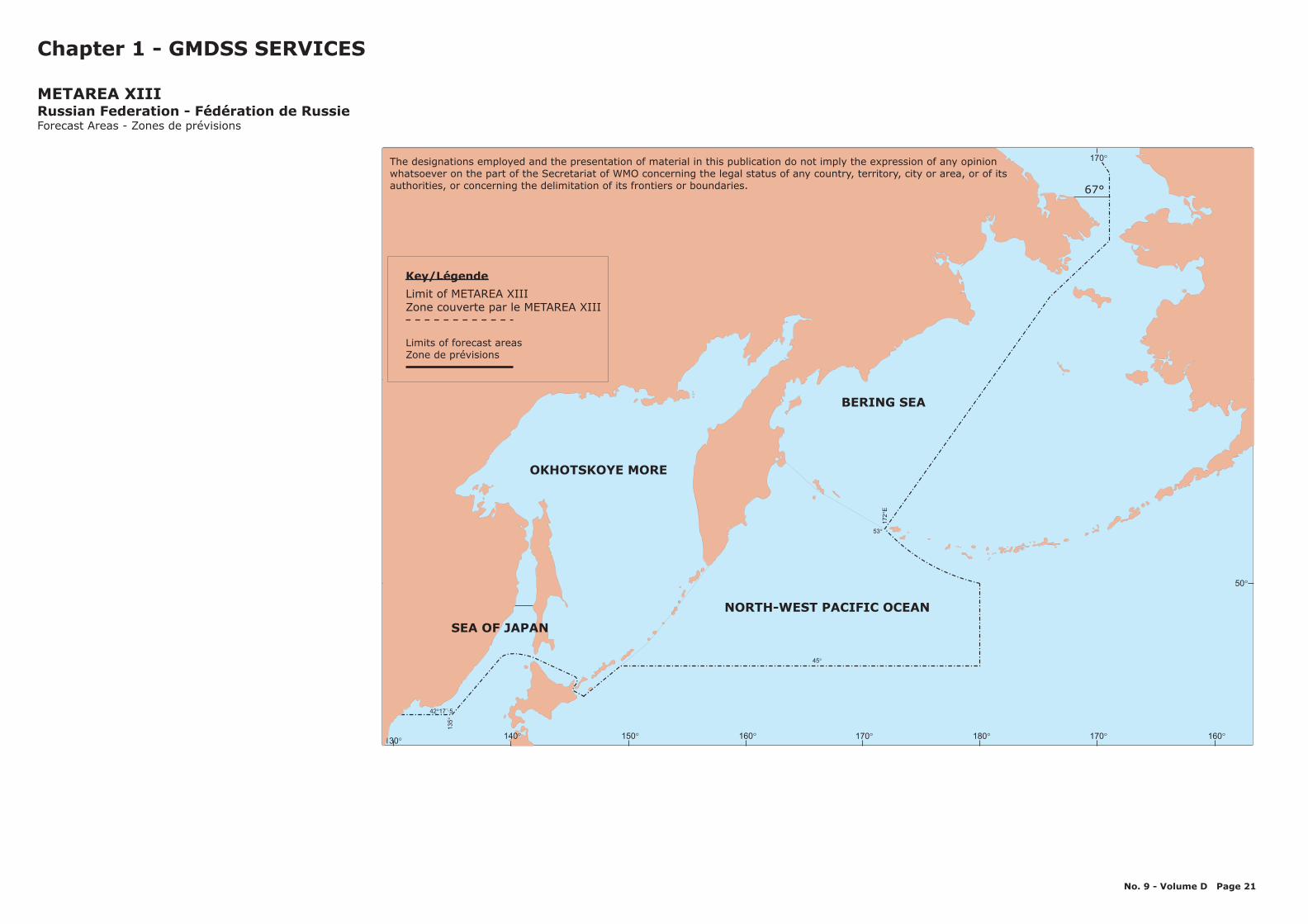
180° 170° 160°170°160°150°140°130°
60° 60°
50° 50°
53°
172
E°
45°
135
°
42 17 .́5°
OKHOTSKOYE MORE
67°
180° 170° 160°170°160°150°130°
140°
NORTH-WEST PACIFIC OCEAN
SEA OF JAPAN
BERING SEA
Key/Légende
Limit of METAREA XIIIZone couverte par le METAREA XIII
Limits of forecast areasZone de prévisions
Chapter 1 - GMDSS SERVICES
METAREA XIIIRussian Federation - Fédération de RussieForecast Areas - Zones de prévisions
No. 9 - Volume D Page 21
The designations employed and the presentation of material in this publication do not imply the expression of any opinionwhatsoever on the part of the Secretariat of WMO concerning the legal status of any country, territory, city or area, or of itsauthorities, or concerning the delimitation of its frontiers or boundaries.

150° 160° 170° 180° 170° 160° 150° 140° 130° 110°120°
FORTIES
SUB-TROPIC
PACIFIC
ISLANDS
25°S
40°S
45°S
29°S
0°
160°E
150°E
170°W
120°W
Chapter 1 - GMDSS SERVICES
:
METAREA XIVNew Zealand - Nouvelle-ZélandeHigh Seas Forecast Areas
Updated 10 December 2007
Poleward boundary of SOUTHERN is the Antarctic ice edge
150° 160° 170° 180° 170° 160° 150° 140° 130° 110°120°
0°
10°
20°
30°
40°
50°
60°
0°
10°
20°
30°
40°
50°
60°SOUTHERN
No. 9 - Volume D Page 22
The designations employed and the presentation of material in this publication do not imply the expression of any opinionwhatsoever on the part of the Secretariat of WMO concerning the legal status of any country, territory, city or area, or of itsauthorities, or concerning the delimitation of its frontiers or boundaries.
Key/Légende
Limit of METAREA XIVZone couverte par le METAREA XIV
Limits of forecast areasZone de prévisions
Coverage area for Coastal Navigationalwarnings and Weather bulletins
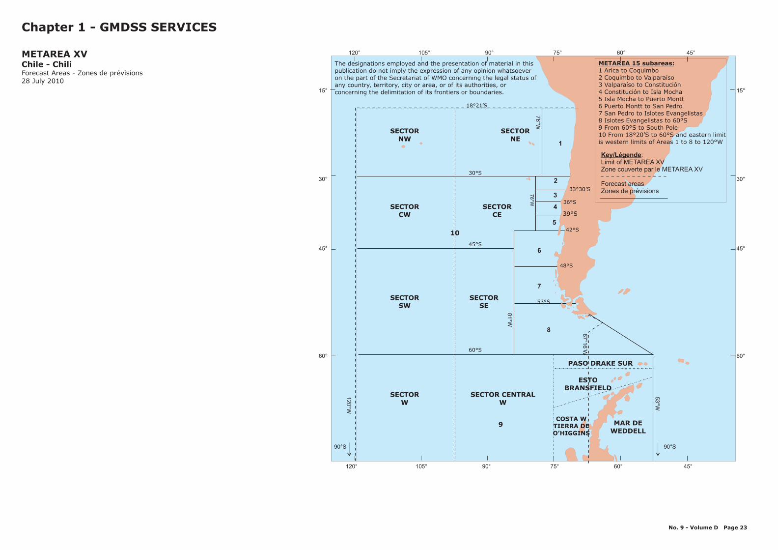
Key/Légende:Limit ofZone couverte par le METAREA XV
Forecast areasZones de prévisions
METAREA XV
120° 105° 90° 75° 60° 45°
120° 105° 90° 75° 60° 45°
15°
30°
45°
60°
15°
30°
45°
60°
53°W
120°W
81°W
67
°16
’W
78°W
76°W
60°S
90°S 90°S
18°21’S
30°S
45°S
33°30’S
36°S
39°S
42°S
48°S
53°S
SECTORW
COSTA WTIERRA DEO’HIGGINS
MAR DEWEDDELL
PASO DRAKE SUR
ESTOBRANSFIELD
SECTORSW
SECTORCW
SECTORNW
SECTORNE
SECTORCE
SECTORSE
SECTOR CENTRALW
10
9
8
1
7
6
2
3
4
5
Chapter 1 - GMDSS SERVICES
METAREA XVChile - ChiliForecast Areas - Zones de prévisions28 July 2010
METAREA 15 subareas:1 Arica to Coquimbo2 Coquimbo to Valparaíso3 Valparaíso to Constitución4 Constitución to Isla Mocha5 Isla Mocha to Puerto Montt6 Puerto Montt to San Pedro7 San Pedro to Islotes Evangelistas8 Islotes Evangelistas to 60°S9 From 60°S to South Pole10 From 18°20’S to 60°S and eastern limitis western limits of Areas 1 to 8 to 120°W
No. 9 - Volume D Page 23
The designations employed and the presentation of material in thispublication do not imply the expression of any opinion whatsoeveron the part of the Secretariat of WMO concerning the legal status ofany country, territory, city or area, or of its authorities, orconcerning the delimitation of its frontiers or boundaries.
40080120 100
0
20
40
40080120 100
0
20
40
EQUATOR to 18°30’S, east of 120°W
120°W
0°
3°24’S
18°21’S
Chapter 1 - GMDSS SERVICES
METAREA XVIPeru areaForecast Areas - Zones de prévisions
120°W
18°21’S
No. 9 - Volume D Page 24
The designations employed and the presentation of material in thispublication do not imply the expression of any opinion whatsoeveron the part of the Secretariat of WMO concerning the legal status ofany country, territory, city or area, or of its authorities, orconcerning the delimitation of its frontiers or boundaries.
Key/Légende
Limit of METAREA XVIZone couverte par le METAREA XVI
Limits of forecast areasZone de prévisions
0°
30°W
60°
90°W 60°W
70°
80°
120°W130°W
180°
150°W
160°W
170°W
140°W
110°W 100°W 70°W80°W 50°W
40°W
20°W
10°W
168°58 W'
120°
W
35°W
67°N
METAREAXVII
METAREAXVIII
111
112
171
173
172
170
113
114
115
100
201
202
203
204
205
212
210
216
217
214
213
103 104
105
123
125136 137
129
138
140
139
142141
154153
134
133
122121
120
177
119
118
117116
102
101
124132
135
126
127
107
130
131
228
229
223226
227
224
128
108
106206
208
209207
211
225
176175
218
215
219
220
221
222
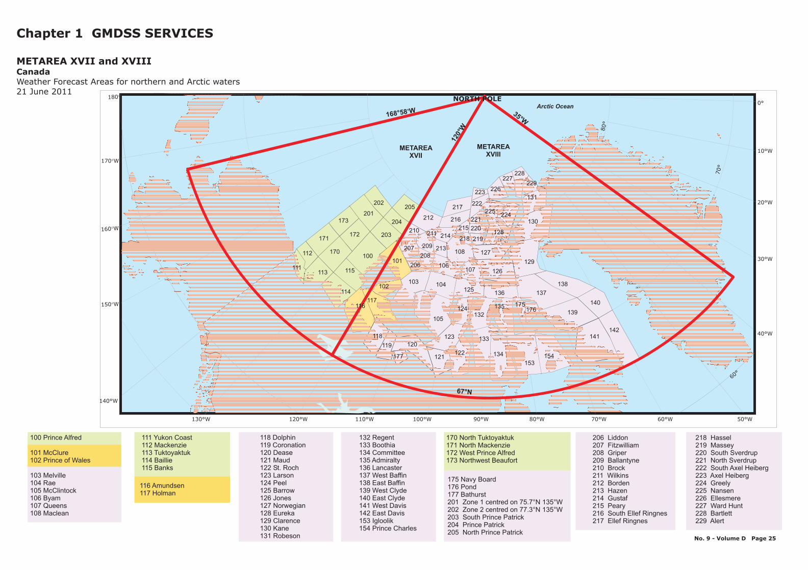
Chapter 1 GMDSS SERVICES
METAREA XVII and XVIIICanadaWeather Forecast Areas for northern and Arctic waters21 June 2011
No. 9 - Volume D Page 25
100 Prince Alfred
101 McClure102 Prince of Wales
103 Melville104 Rae105 McClintock106 Byam107 Queens108 Maclean
170 North Tuktoyaktuk171 North Mackenzie172 West Prince Alfred173 Northwest Beaufort
118 Dolphin119 Coronation120 Dease121 Maud122 St. Roch123 Larson124 Peel125 Barrow126 Jones127 Norwegian128 Eureka129 Clarence130 Kane131 Robeson
116 Amundsen117 Holman
111 Yukon Coast112 Mackenzie113 Tuktoyaktuk114 Baillie115 Banks
132 Regent133 Boothia134 Committee135 Admiralty136 Lancaster137 West Baffin138 East Baffin139 West Clyde140 East Clyde141 West Davis142 East Davis153 Igloolik154 Prince Charles
175 Navy Board176 Pond177 Bathurst201 Zone 1 centred on 75.7°N 135°W202 Zone 2 centred on 77.3°N 135°W203 South Prince Patrick204 Prince Patrick205 North Prince Patrick
218 Hassel219 Massey220 South Sverdrup221 North Sverdrup222 South Axel Heiberg223 Axel Heiberg224 Greely225 Nansen226 Ellesmere227 Ward Hunt228 Bartlett229 Alert
206 Liddon207 Fitzwilliam208 Griper209 Ballantyne210 Brock211 Wilkins212 Borden213 Hazen214 Gustaf215 Peary216 South Ellef Ringnes217 Ellef Ringnes
140160170 145150155165
70
65
75
61
62
63
64
66
67
68
69
71
72
73
74
PKZ 510
PKZ 245
PKZ 240
PKZ 235
PKZ 505
PKZ 500
PKZ 230
PKZ 225
PKZ 220
PKZ 215
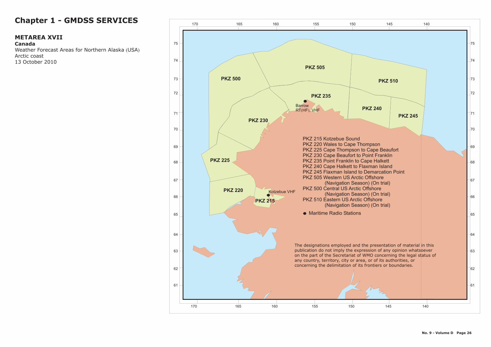
PKZ 215 Kotzebue SoundPKZ 220 Wales to Cape ThompsonPKZ 225 Cape Thompson to Cape BeaufortPKZ 230 Cape Beaufort to Point FranklinPKZ 235 Point Franklin to Cape HalkettPKZ 240 Cape Halkett to Flaxman IslandPKZ 245 Flaxman Island to Demarcation PointPKZ 505 Western US Arctic Offshore
PKZ 500 Central US Arctic Offshore
PKZ 510 Eastern US Arctic Offshore
(Navigation Season) (On trial)
(Navigation Season) (On trial)
(Navigation Season) (On trial)
Chapter 1 - GMDSS SERVICES
( )USA
METAREA XVIICanadaWeather Forecast Areas for Northern AlaskaArctic coast13 October 2010
No. 9 - Volume D Page 26
Kotzebue VHF
BarrowRT , VHF( )HF
Maritime Radio Stations
140160170 145150155165
70
65
75
61
62
63
64
66
67
68
69
71
72
73
74
The designations employed and the presentation of material in thispublication do not imply the expression of any opinion whatsoeveron the part of the Secretariat of WMO concerning the legal status ofany country, territory, city or area, or of its authorities, orconcerning the delimitation of its frontiers or boundaries.
102030405060
102030405060
60
70
65
75
13
14
12
1
2
3
10
11
9
8
7 6
5
4
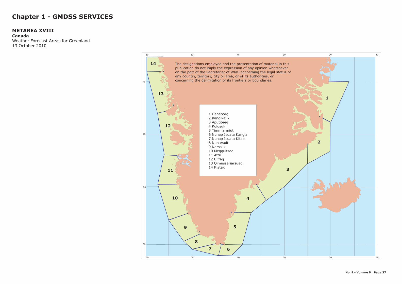
1 Daneborg2 Kangikajik3 Aputiteeq4 Kulusuk5 Timmiarmiut6 Nunap Isuata Kangia7 Nunap Isuata Kitaa8 Nunarsuit9 Narsalik10 Meqquitsoq11 Attu12 Uiffaq13 Qimusseriarsuaq14 Kiatak
Chapter 1 - GMDSS SERVICES
METAREA XVIIICanadaWeather Forecast Areas for Greenland13 October 2010
No. 9 - Volume D Page 27
The designations employed and the presentation of material in thispublication do not imply the expression of any opinion whatsoeveron the part of the Secretariat of WMO concerning the legal status ofany country, territory, city or area, or of its authorities, orconcerning the delimitation of its frontiers or boundaries.

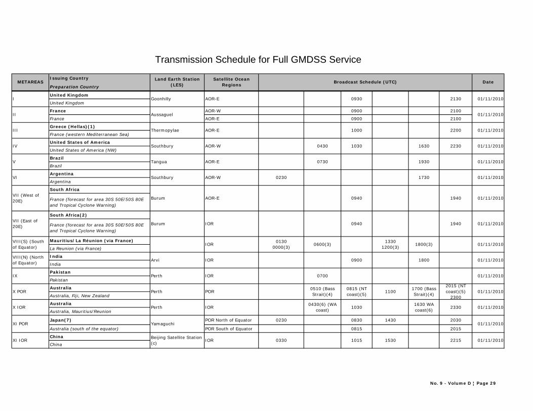
Issuing Country
Preparation Country
United Kingdom
United Kingdom
France AOR-W 0900 2100
France AOR-E 0900 2100
Greece (Hellas)(1)
France (western Mediterranean Sea)
United States of America
United States of America (NW)
Brazil
Brazil
Argentina
Argentina
South Africa
France (forecast for area 30S 50E/50S 80E and Tropical Cyclone Warning)
South Africa(2)
France (forecast for area 30S 50E/50S 80E and Tropical Cyclone Warning)
Mauritius/La Réunion (via France)
La Reunion (via France)
India
India
Pakistan
Pakistan
Australia
Australia, Fiji, New Zealand
Australia
Australia, Mauritius/Reunion
Japan(7) POR North of Equator 0230 0830 1430 2030
Australia (south of the equator) POR South of Equator 0815 2015
China
China
01/11/2010
Thermopylae AOR-E
Goonhilly AOR-E 0930
01/11/2010
1000 2200 01/11/2010
01/11/20102230163010300430AOR-WSouthbury
Tangua AOR-E
Southbury
Burum
Burum IOR
AOR-E
AOR-W
0730 1930 01/11/2010
01/11/201017300230
0940 1940 01/11/2010
01/11/201019400940
IOR0130
0000(3)0600(3)
Arvi
Perth IOR
IOR
Perth
Perth IOR
POR
13301200(3)
1800(3) 01/11/2010
01/11/2010
01/11/2010
01/11/2010
2330
18000900
0700
2015 (NT coast)(5)
2300
1700 (Bass Strait)(4)
1630 WA coast(6)
1100
Beijing Satellite Station (c)
IOR 0330 1015 1530
0815 (NT coast)(5)
0510 (Bass Strait)(4)
10300430(6) (WA
coast)
2215 01/11/2010
01/11/2010
Date
I
METAREASSatellite Ocean
RegionsBroadcast Schedule (UTC)
2130
Land Earth Station (LES)
XI IOR
VII (East of 20E)
VIII(S) (South of Equator)
VIII(N) (North of Equator)
IX
Aussaguel
X POR
X IOR
Yamaguchi 01/11/2010
Transmission Schedule for Full GMDSS Service
II
III
XI POR
IV
V
VI
VII (West of 20E)
No. 9 - Volume D ¦ Page 29
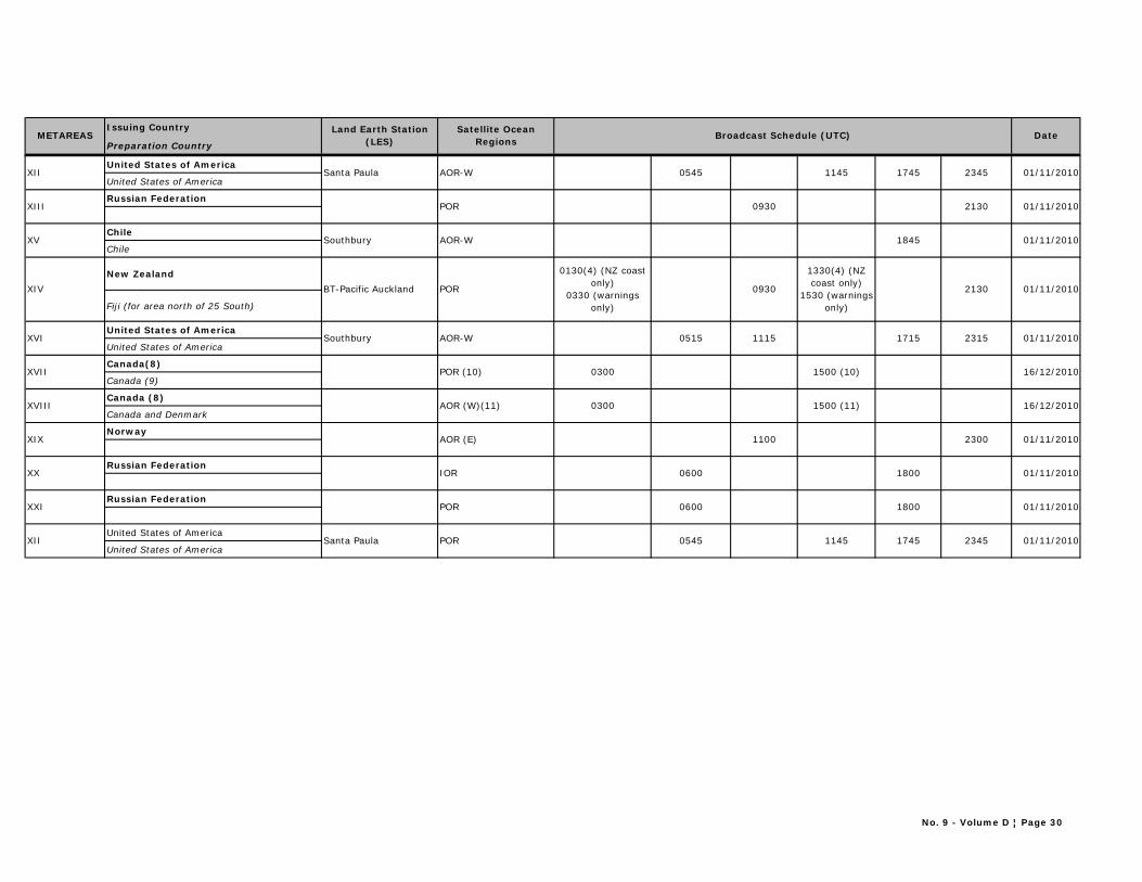
Issuing Country
Preparation CountryDateMETAREAS
Satellite Ocean Regions
Broadcast Schedule (UTC)Land Earth Station
(LES)
United States of America
United States of America
Russian Federation
Chile
Chile
New Zealand
Fiji (for area north of 25 South)
United States of America
United States of America
Canada(8)
Canada (9)
Canada (8)
Canada and Denmark
Norway
Russian Federation
Russian Federation
United States of America
United States of America
Santa Paula AOR-W 01/11/20102345174511450545
POR
Southbury AOR-W
0930 01/11/2010
01/11/20101845
2130 01/11/2010
2130
1330(4) (NZ coast only)
1530 (warnings only)
0930
0130(4) (NZ coast only)
0330 (warnings only)
PORBT-Pacific Auckland
Southbury
POR (10)
AOR-W 0515
0300
1115 1715
1500 (10)
2315 01/11/2010
16/12/2010
1500 (11)0300AOR (W)(11)
AOR (E) 1100 2300 01/11/2010
16/12/2010
23451745 01/11/2010
01/11/2010
11450545PORSanta Paula
IOR
POR
0600
0600
1800
1800
01/11/2010
XIV
XII
XIII
XV
XX
XXI
XII
XVI
XVII
XVIII
XIX
No. 9 - Volume D ¦ Page 30
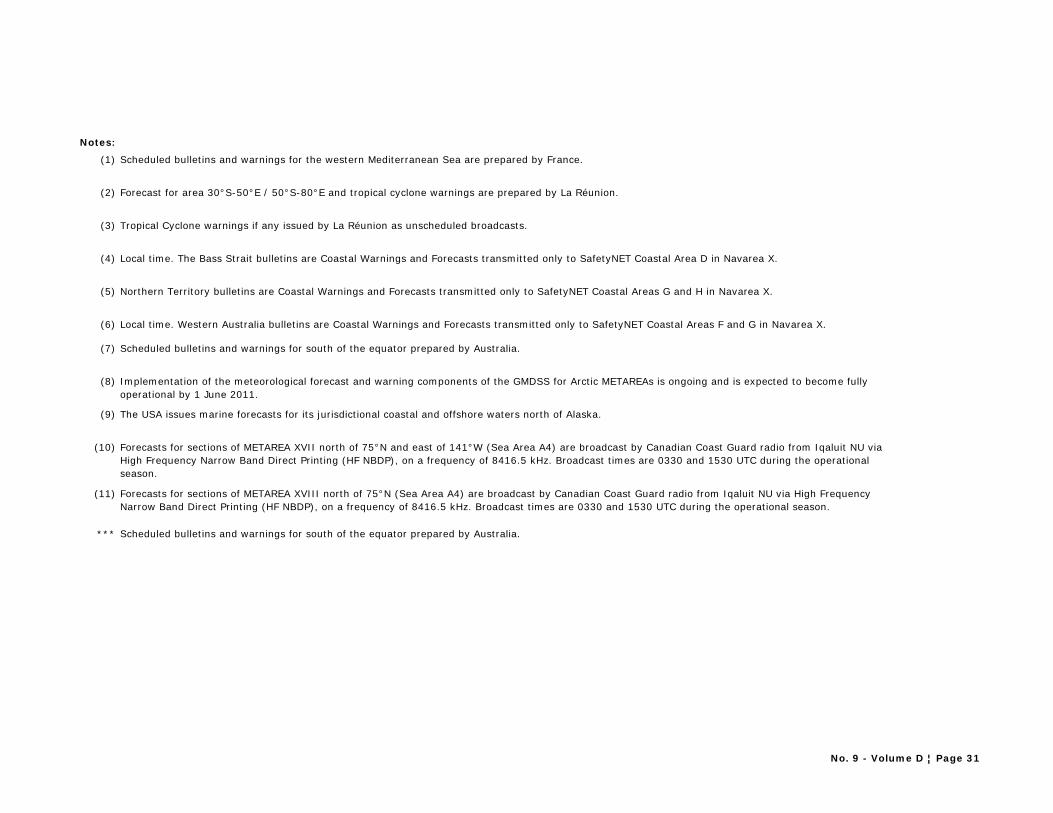
Notes:
(1) Scheduled bulletins and warnings for the western Mediterranean Sea are prepared by France.
(2) Forecast for area 30°S-50°E / 50°S-80°E and tropical cyclone warnings are prepared by La Réunion.
(3) Tropical Cyclone warnings if any issued by La Réunion as unscheduled broadcasts.
(4) Local time. The Bass Strait bulletins are Coastal Warnings and Forecasts transmitted only to SafetyNET Coastal Area D in Navarea X.
(5) Northern Territory bulletins are Coastal Warnings and Forecasts transmitted only to SafetyNET Coastal Areas G and H in Navarea X.
(6) Local time. Western Australia bulletins are Coastal Warnings and Forecasts transmitted only to SafetyNET Coastal Areas F and G in Navarea X.
(7) Scheduled bulletins and warnings for south of the equator prepared by Australia.
(8) Implementation of the meteorological forecast and warning components of the GMDSS for Arctic METAREAs is ongoing and is expected to become fully operational by 1 June 2011.
(9) The USA issues marine forecasts for its jurisdictional coastal and offshore waters north of Alaska.
(10) Forecasts for sections of METAREA XVII north of 75°N and east of 141°W (Sea Area A4) are broadcast by Canadian Coast Guard radio from Iqaluit NU via High Frequency Narrow Band Direct Printing (HF NBDP), on a frequency of 8416.5 kHz. Broadcast times are 0330 and 1530 UTC during the operational season.
(11) Forecasts for sections of METAREA XVIII north of 75°N (Sea Area A4) are broadcast by Canadian Coast Guard radio from Iqaluit NU via High Frequency Narrow Band Direct Printing (HF NBDP), on a frequency of 8416.5 kHz. Broadcast times are 0330 and 1530 UTC during the operational season.
*** Scheduled bulletins and warnings for south of the equator prepared by Australia.
No. 9 - Volume D ¦ Page 31


CHAPTER 2
SATELLITE
INMARSAT - C

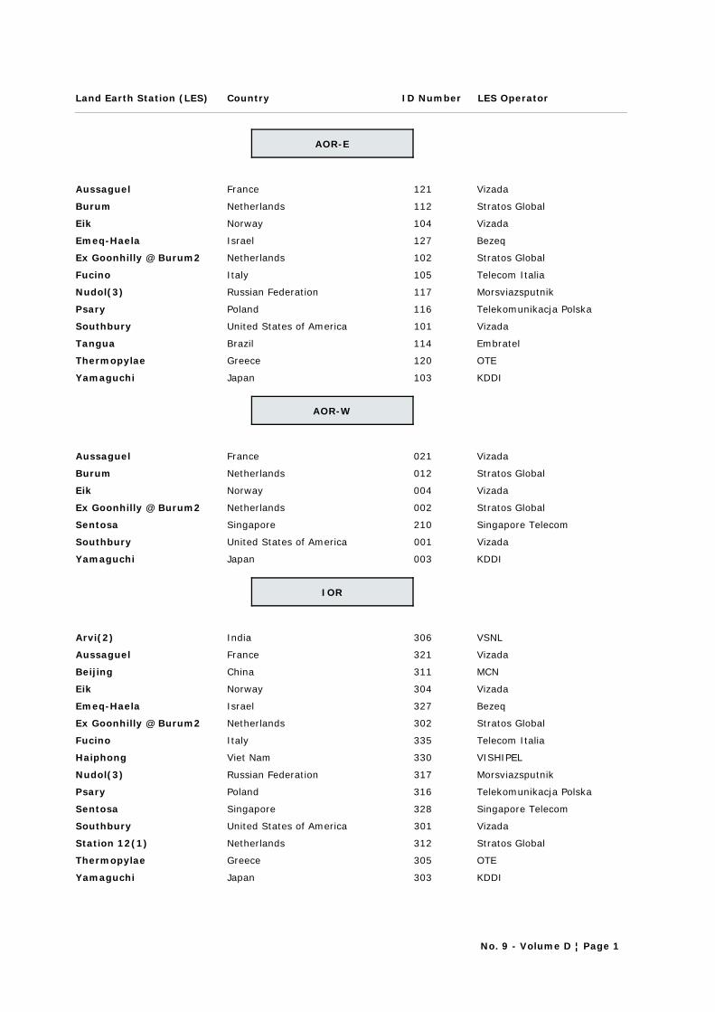
Land Earth Station (LES) ID NumberCountry LES Operator
AOR-E
Aussaguel France 121 Vizada
Burum Netherlands 112 Stratos Global
Eik Norway 104 Vizada
Emeq-Haela Israel 127 Bezeq
Ex Goonhilly @ Burum2 Netherlands 102 Stratos Global
Fucino Italy 105 Telecom Italia
Nudol(3) Russian Federation 117 Morsviazsputnik
Psary Poland 116 Telekomunikacja Polska
Southbury United States of America 101 Vizada
Tangua Brazil 114 Embratel
Thermopylae Greece 120 OTE
Yamaguchi Japan 103 KDDI
AOR-W
Aussaguel France 021 Vizada
Burum Netherlands 012 Stratos Global
Eik Norway 004 Vizada
Ex Goonhilly @ Burum2 Netherlands 002 Stratos Global
Sentosa Singapore 210 Singapore Telecom
Southbury United States of America 001 Vizada
Yamaguchi Japan 003 KDDI
IOR
Arvi(2) India 306 VSNL
Aussaguel France 321 Vizada
Beijing China 311 MCN
Eik Norway 304 Vizada
Emeq-Haela Israel 327 Bezeq
Ex Goonhilly @ Burum2 Netherlands 302 Stratos Global
Fucino Italy 335 Telecom Italia
Haiphong Viet Nam 330 VISHIPEL
Nudol(3) Russian Federation 317 Morsviazsputnik
Psary Poland 316 Telekomunikacja Polska
Sentosa Singapore 328 Singapore Telecom
Southbury United States of America 301 Vizada
Station 12(1) Netherlands 312 Stratos Global
Thermopylae Greece 305 OTE
Yamaguchi Japan 303 KDDI
No. 9 - Volume D ¦ Page 1

Land Earth Station (LES) ID NumberCountry LES Operator
POR
Auckland New Zealand 202 Stratos Global
Aussaguel France 221 Vizada
Beijing China 211 MCN
Eik Norway 204 Vizada
Nudol(3) Russian Federation 217 Morsviazsputnik
Santa Paula United States of America 201 Vizada
Station 12(1) Netherlands 212 Stratos Global
Yamaguchi Japan 203 KDDI
NOTES:
(1) Ships previously reporting through Perth (renamed to Station 12) must use SAC 1241 when sending weather reports through IOR 312
(2) Arvi will accept code 41 reports from within Metarea VIII(N) only.
(3) Via Nakhodka
No. 9 - Volume D ¦ Page 2
CHAPTER 3
METEOROLOGICAL BROADCASTS BY RADIO-FACSIMILE
DIFFUSIONS MÉTÉOROLOGIQUES PAR RADIO FAC-SIMILÉ

No. 9 - Volume D ¦ Page 1
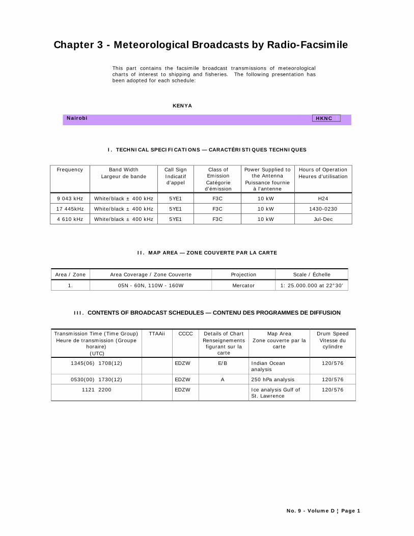
Chapter 3 - Meteorological Broadcasts by Radio-Facsimile
This part contains the facsimile broadcast transmissions of meteorological charts of interest to shipping and fisheries. The following presentation has been adopted for each schedule:
KENYA
Nairobi HKNC
I. TECHNICAL SPECIFICATIONS — CARACTÉRISTIQUES TECHNIQUES
Frequency Band Width Largeur de bande
Call Sign Indicatif d'appel
Class of Emission Catégorie d'émission
Power Supplied to the Antenna
Puissance fournie à l'antenne
Hours of Operation Heures d'utilisation
9 043 kHz White/black ± 400 kHz 5YE1 F3C 10 kW H24
17 445kHz White/black ± 400 kHz 5YE1 F3C 10 kW 1430-0230
4 610 kHz White/black ± 400 kHz 5YE1 F3C 10 kW Jul-Dec
II. MAP AREA — ZONE COUVERTE PAR LA CARTE
Area / Zone Area Coverage / Zone Couverte Projection Scale / Échelle
1. 05N - 60N, 110W - 160W Mercator 1: 25.000.000 at 22°30'
III. CONTENTS OF BROADCAST SCHEDULES — CONTENU DES PROGRAMMES DE DIFFUSION
Transmission Time (Time Group) Heure de transmission (Groupe
horaire) (UTC)
TTAAii CCCC Details of Chart Renseignements figurant sur la
carte
Map Area Zone couverte par la
carte
Drum Speed Vitesse du cylindre
1345(06) 1708(12) EDZW E/B Indian Ocean analysis
120/576
0530(00) 1730(12) EDZW A 250 hPa analysis 120/576
1121 2200 EDZW Ice analysis Gulf of St. Lawrence
120/576

No. 9 - Volume D ¦ Page 2
Explanation of the radio-facsimile presentation:
KENYA The schedules are arranged in English alphabetical order of countries, with the name of the country transmitting the broadcast schedule given at the top of the page.
Nairobi HKNC The name of the transmitting centre.
CCCC - International four letter location indicator of the centre originating the chart.
Area coverage The area in which the broadcast is intended to bereceived. This can include
geographical co-ordinates or a geographical area. I (a) Frequency Refers to the centre value about which the frequency shift takes place. (b) Band width Frequency shift (c) Call Sign Can either be the Name of the call sign of the Station (d) Class of Emission This column specifies the class of emission of the frequencies indicated under
the column "Frequency used". The following symbols are used
AMPLITUDE MODULATION
A1A Telegraphy without the use of a modulating audio frequency (by on-off keying)
A2A Telegraphy by the on-off keying of an amplitude-modulating audio frequency of audio frequencies, or by the on-off keying of the modulated emission (special case: an unkeyed emission amplitude modulated)
A3E Telephony, double sideband
R3E Telephony, single sideband, reduced carrier
H3E Telephony, single sideband, full carrier
J3E Telephony, single sideband, suppressed carrier
B9W Combination of telephony and telegraphy (two independent sidebands)
FREQUENCY MODULATION
F1B Telegraphy by frequency shift keying without the use of a
modulating audio frequency, one of two frequencies being emitted at any instant
F3E Telephony, by direct frequency modulation of the carrier
(f) Hours of operation When appropriate this column indicates the hours of operation, in UTC, of the various frequencies. Any seasonal variations are also shown eg H24, 0600-1600, Summer, June-December
II (a) Area The map area refers to table "II. MAP AREA" (b) Projection Projection type eg Mercator, Lambert's Conical Orthomorphic, Polar
Stereographic (c) Scale Indicates the scale of the map eg. 1:6,000,000 true at 60°N (45 cm x 55 cm) III (a) Transmission time This column gives the time at which the transmission is scheduled to begin.
0600(00) The times at which the observations contained in the chart were made are presented in parentheses.
(b) TTAAii Abbreviated heading - data type and geographical designators. (c) CCCC International four letter location indicator of the centre originating the chart. (d) Map area For each chart transmitted this column gives a letter/digit which corresponds
to the area covered. The map areas corresponding to the letters are indicated at the beginning of the schedule. See table II – Map Area
(e) Details of chart This column specifies details of the content of the chart eg: H+24 surface prognosis / Indian Ocean analysis / Test chart
(e) Drum speed This relates to the drum speed, in revolutions per minute, and the Index of co-operation, which is generally 576. For complementary information see "WMO Publication No. 386 - Manual on the Global Telecommunication System, Volume"
0
20
40
60
80
20
40
60
0
20
40
60
80
20
40
60
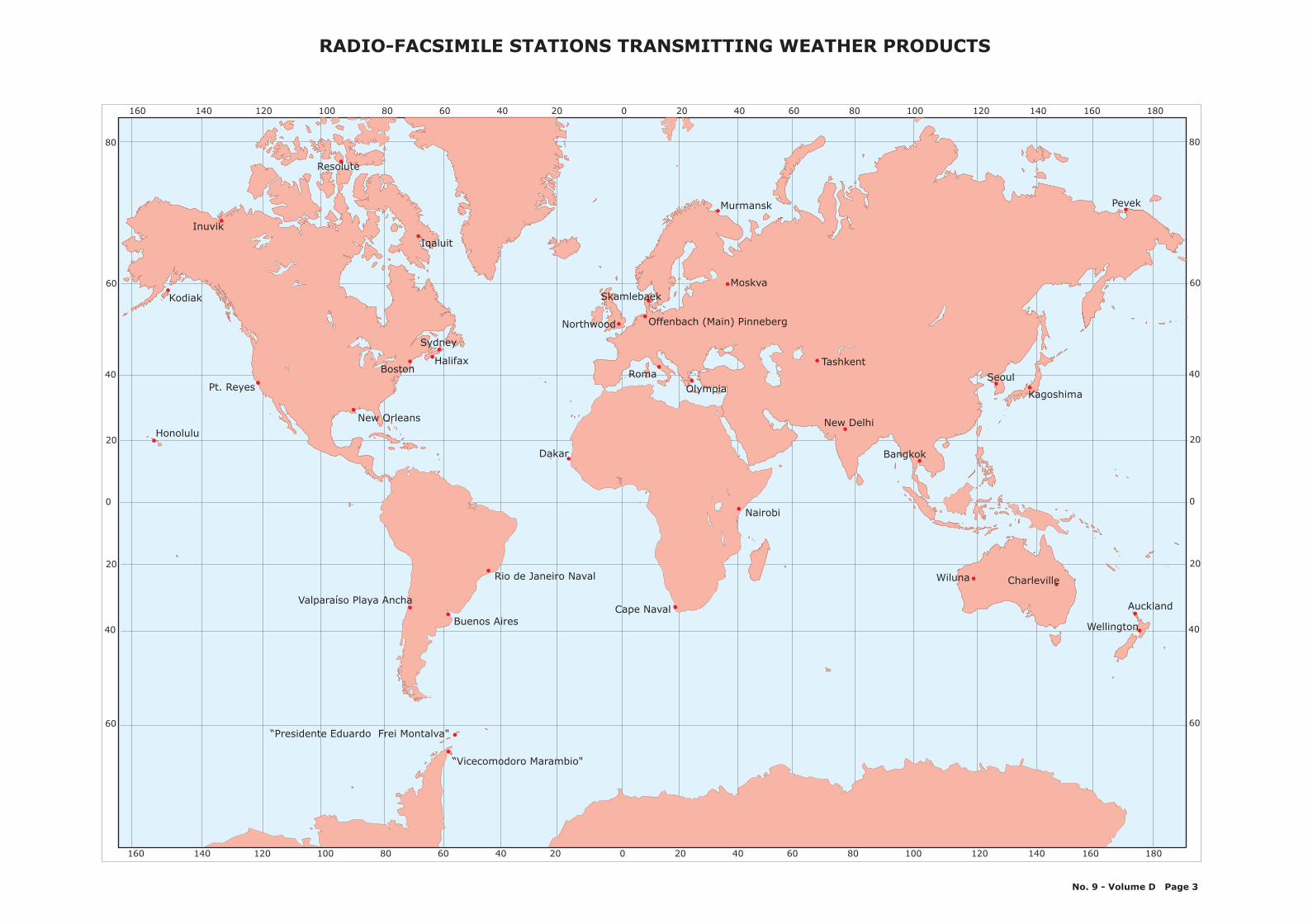
Nairobi
Wiluna
Wellington
Cape Naval
Kagoshima
Seoul
Tashkent
Moskva
Olympia
Northwood Offenbach (Main) Pinneberg
Skamlebaek
Murmansk
Iqaluit
HalifaxBoston
Resolute
Kodiak
Inuvik
Buenos Aires
Valparaíso Playa Ancha
160 140 120 100 80 60 40 20 0 20 40 60 80 100 120 140 160 180
“Presidente Eduardo Frei Montalva"
“Vicecomodoro Marambio"
Pt. Reyes
Honolulu
Dakar
New Orleans New Delhi
Bangkok
Rio de Janeiro Naval
Pevek
Roma
Sydney
Charleville
Auckland
160 140 120 100 80 60 40 20 0 20 40 60 80 100 120 140 160 180
RADIO-FACSIMILE STATIONS TRANSMITTING WEATHER PRODUCTS
No. 9 - Volume D Page 3

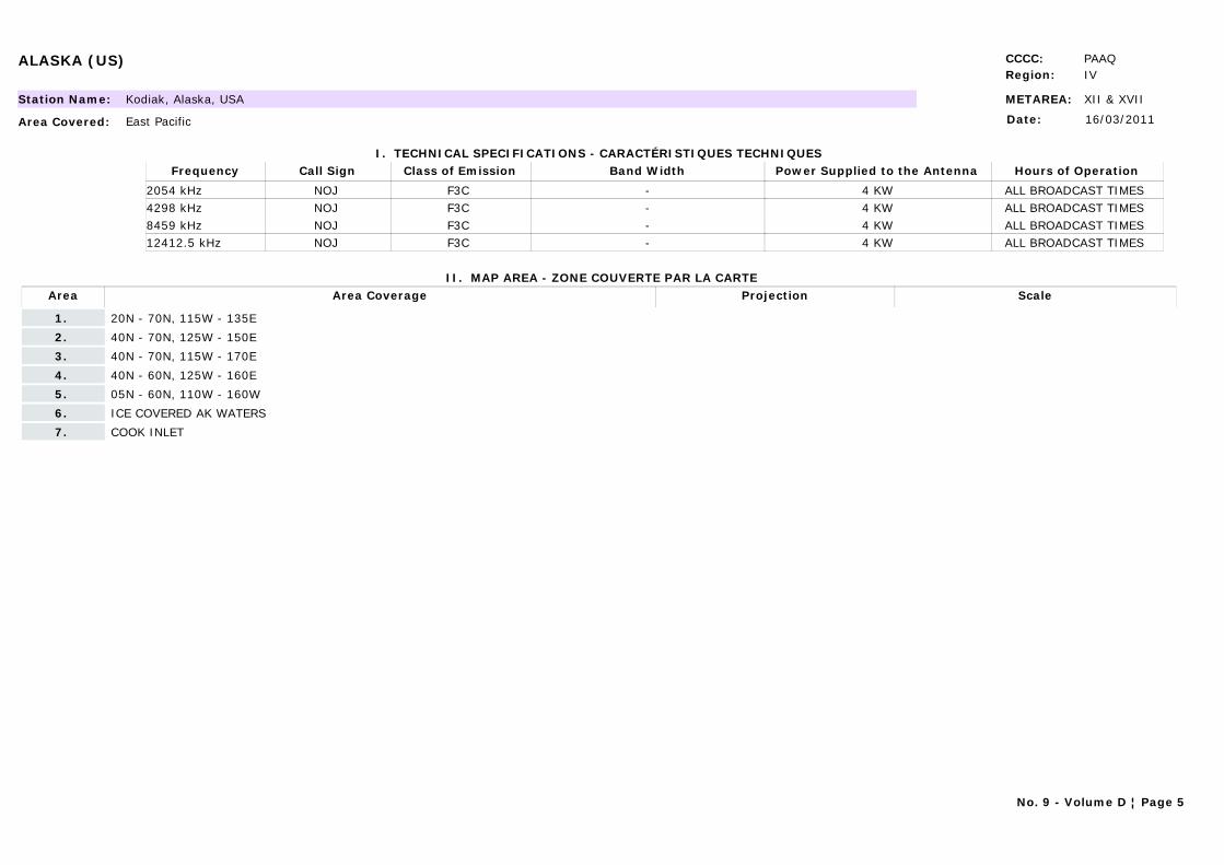
ALASKA (US) CCCC: PAAQRegion: IV
METAREA: XII & XVIIStation Name: Kodiak, Alaska, USA
Area Covered: East Pacific
I. TECHNICAL SPECIFICATIONS - CARACTÉRISTIQUES TECHNIQUES
II. MAP AREA - ZONE COUVERTE PAR LA CARTE
Date: 16/03/2011
Call Sign Hours of OperationFrequency Class of Emission Band Width Power Supplied to the Antenna
NOJ ALL BROADCAST TIMES 2054 kHz F3C - 4 KWNOJ ALL BROADCAST TIMES 4298 kHz F3C - 4 KWNOJ ALL BROADCAST TIMES 8459 kHz F3C - 4 KWNOJ ALL BROADCAST TIMES 12412.5 kHz F3C - 4 KW
Area Area Coverage ScaleProjection
1. 20N - 70N, 115W - 135E
2. 40N - 70N, 125W - 150E
3. 40N - 70N, 115W - 170E
4. 40N - 60N, 125W - 160E
5. 05N - 60N, 110W - 160W
6. ICE COVERED AK WATERS
7. COOK INLET
No. 9 - Volume D ¦ Page 5
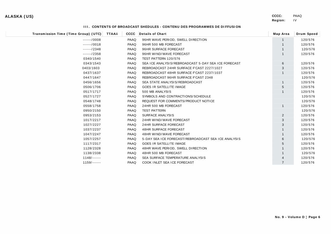
ALASKA (US) CCCC: PAAQRegion: IV
III. CONTENTS OF BROADCAST SHEDULES - CONTENU DES PROGRAMMES DE DIFFUSION
Transmission Time (Time Group) (UTC) Map AreaDetails of Chart Drum SpeedTTAAii CCCC
------/0008 196HR WAVE PERIOD, SWELL DIRECTION 120/576 PAAQ------/0018 196HR 500 MB FORECAST 120/576 PAAQ------/2348 196HR SURFACE FORECAST 120/576PAAQ------/2358 196HR WIND/WAVE FORECAST 120/576 PAAQ0340/1540 TEST PATTERN 120/576PAAQ0343/1543 6SEA ICE ANALYSIS/REBROADCAST 5-DAY SEA ICE FORECAST 120/576 PAAQ
0403/1603 3REBROADCAST 24HR SURFACE F'CAST 2227/1027 120/576 PAAQ0437/1637 1REBROADCAST 48HR SURFACE F'CAST 2237/1037 120/576 PAAQ0447/1647 REBROADCAST 96HR SURFACE F'CAST 2348 120/576PAAQ0456/1656 1SEA STATE ANALYSIS/REBROADCAST 120/576 PAAQ0506/1706 5GOES IR SATELLITE IMAGE 120/576 PAAQ0517/1717 1500 MB ANALYSIS 120/576 PAAQ0527/1727 SYMBOLS AND CONTRACTIONS/SCHEDULE 120/576PAAQ0548/1748 REQUEST FOR COMMENTS/PRODUCT NOTICE 120/576PAAQ0558/1758 124HR 500 MB FORECAST 120/576 PAAQ0950/2150 TEST PATTERN 120/576PAAQ0953/2153 2SURFACE ANALYSIS 120/576 PAAQ1017/2217 324HR WIND/WAVE FORECAST 120/576 PAAQ1027/2227 324HR SURFACE FORECAST 120/576 PAAQ1037/2237 148HR SURFACE FORECAST 120/576 PAAQ1047/2247 148HR WIND/WAVE FORECAST 120/576 PAAQ1057/2257 65-DAY SEA ICE FORECAST/REBROADCAST SEA ICE ANALYSIS 120/576PAAQ1117/2317 5GOES IR SATELLITE IMAGE 120/576 PAAQ1128/2328 148HR WAVE PERIOD, SWELL DIRECTION 120/576 PAAQ1138/2338 148HR 500 MB FORECAST 120/576PAAQ1148/------ 4SEA SURFACE TEMPERATURE ANALYSIS 120/576 PAAQ1159/------ 7COOK INLET SEA ICE FORECAST 120/576 PAAQ
No. 9 - Volume D ¦ Page 6

ALASKA (US) CCCC: PAAQRegion: IV
Send comments regarding the contents of these charts to:Marine Services Program Manager National Weather Service Alaska Region
222 West 7th AvenueAnchorage, AK 99513-7575907-271-5088 /FAX: [email protected]
Send comments regarding the to: quality of this broadcast to:U.S. Coast GuardCommander COMMSTA KodiakP.O. Box 190017Kodiak, AK 99619-0017907-487-5426 /FAX: 907-487-5517907-487-5778 (24Hr)
Many of these charts also broadcast from Pt. Reyes, CA and Honolulu, HIIf you have access to the World Wide Web be certain to check out the following webpages. See these pages for further links.
http://www.nws.noaa.gov NWS Homepagehttp://www.nws.noaa.gov/om/marine/home.htm NWS Marine Pagecell.weather.gov (WAP/WML browser required) Cellphone pagemobile.weather.gov Mobile Page
Web Link: http://weather.noaa.gov/pub/fax/hfak.txt
No. 9 - Volume D ¦ Page 7
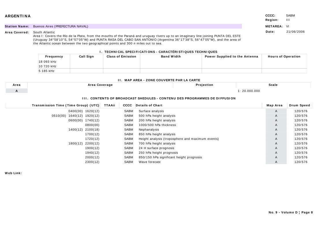
ARGENTINA CCCC: SABMRegion: III
METAREA: VIStation Name: Buenos Aires (PREFECTURA NAVAL)
Area Covered: South AtlanticArea I: Covers the Río de la Plata, from the mouths of the Paraná and uruguay rivers up to an imaginary line joining PUNTA DEL ESTE (Uruguay 34°58'10"S, 54°57'05"W) and PUNTA RASA DEL CABO SAN ANTONIO (Argentina 36°17'38"S, 56°47'05"W), and the area of the Atlantic ocean between the two geographical points and 300 n miles out to sea.
I. TECHNICAL SPECIFICATIONS - CARACTÉRISTIQUES TECHNIQUES
II. MAP AREA - ZONE COUVERTE PAR LA CARTE
Date: 21/06/2006
Call Sign Hours of OperationFrequency Class of Emission Band Width Power Supplied to the Antenna
18 093 kHz10 720 kHz5 185 kHz
Area Area Coverage ScaleProjection
A 1: 20.000.000
III. CONTENTS OF BROADCAST SHEDULES - CONTENU DES PROGRAMMES DE DIFFUSION
Transmission Time (Time Group) (UTC) Map AreaDetails of Chart Drum SpeedTTAAii CCCC
0400(00) 1620(12) ASurface analysis 120/576SABM0510(00) 1640(12) 1920(12) A500 hPa height analysis 120/576SABM
0600(00) 1740(12) A200 hPa height analysis 120/576SABM0800(00) A1000/500 hPa thickness 120/576SABM
1400(12) 2100(18) ANephanalysis 120/576SABM1700(12) A850 hPa height analysis 120/576SABM1720(12) AHeight analysis (troposphere and maximum events) 120/576SABM
1800(12) 2200(12) A700 hPa height analysis 120/576SABM1900(12) A24 H surface prognosis 120/576SABM1940(12) A250 hPa height prognosis 120/576SABM2000(12) A850/150 hPa significant height prognosis 120/576SABM2300(12) AWave forecast 120/576SABM
Web Link:
No. 9 - Volume D ¦ Page 8
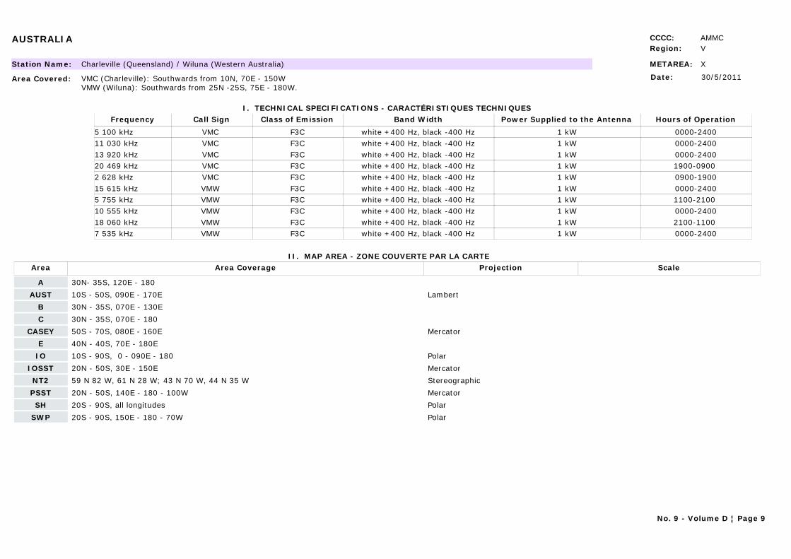
AUSTRALIA CCCC: AMMCRegion: V
METAREA: XStation Name: Charleville (Queensland) / Wiluna (Western Australia)
Area Covered: VMC (Charleville): Southwards from 10N, 70E - 150WVMW (Wiluna): Southwards from 25N -25S, 75E - 180W.
I. TECHNICAL SPECIFICATIONS - CARACTÉRISTIQUES TECHNIQUES
II. MAP AREA - ZONE COUVERTE PAR LA CARTE
Date: 30/5/2011
Call Sign Hours of OperationFrequency Class of Emission Band Width Power Supplied to the Antenna
VMC 0000-24005 100 kHz F3C white +400 Hz, black -400 Hz 1 kWVMC 0000-240011 030 kHz F3C white +400 Hz, black -400 Hz 1 kWVMC 0000-240013 920 kHz F3C white +400 Hz, black -400 Hz 1 kWVMC 1900-0900 20 469 kHz F3C white +400 Hz, black -400 Hz 1 kWVMC 0900-19002 628 kHz F3C white +400 Hz, black -400 Hz 1 kWVMW 0000-240015 615 kHz F3C white +400 Hz, black -400 Hz 1 kWVMW 1100-2100 5 755 kHz F3C white +400 Hz, black -400 Hz 1 kWVMW 0000-240010 555 kHz F3C white +400 Hz, black -400 Hz 1 kWVMW 2100-1100 18 060 kHz F3C white +400 Hz, black -400 Hz 1 kWVMW 0000-24007 535 kHz F3C white +400 Hz, black -400 Hz 1 kW
Area Area Coverage ScaleProjection
A 30N- 35S, 120E - 180
AUST 10S - 50S, 090E - 170E Lambert
B 30N - 35S, 070E - 130E
C 30N - 35S, 070E - 180
CASEY 50S - 70S, 080E - 160E Mercator
E 40N - 40S, 70E - 180E
IO 10S - 90S, 0 - 090E - 180 Polar
IOSST 20N - 50S, 30E - 150E Mercator
NT2 59 N 82 W, 61 N 28 W; 43 N 70 W, 44 N 35 W Stereographic
PSST 20N - 50S, 140E - 180 - 100W Mercator
SH 20S - 90S, all longitudes Polar
SWP 20S - 90S, 150E - 180 - 70W Polar
No. 9 - Volume D ¦ Page 9
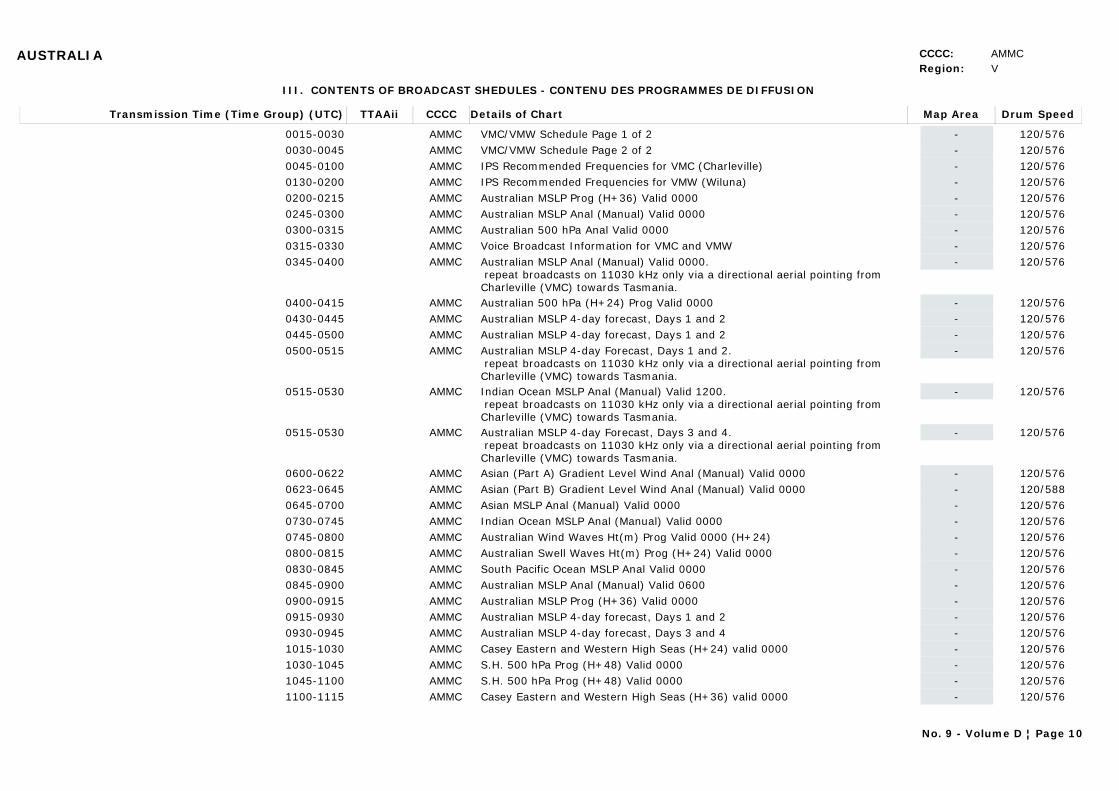
AUSTRALIA CCCC: AMMCRegion: V
III. CONTENTS OF BROADCAST SHEDULES - CONTENU DES PROGRAMMES DE DIFFUSION
Transmission Time (Time Group) (UTC) Map AreaDetails of Chart Drum SpeedTTAAii CCCC
0015-0030 -VMC/VMW Schedule Page 1 of 2 120/576AMMC0030-0045 -VMC/VMW Schedule Page 2 of 2 120/576AMMC0045-0100 -IPS Recommended Frequencies for VMC (Charleville) 120/576AMMC0130-0200 -IPS Recommended Frequencies for VMW (Wiluna) 120/576AMMC0200-0215 -Australian MSLP Prog (H+36) Valid 0000 120/576AMMC0245-0300 -Australian MSLP Anal (Manual) Valid 0000 120/576AMMC0300-0315 -Australian 500 hPa Anal Valid 0000 120/576AMMC0315-0330 -Voice Broadcast Information for VMC and VMW 120/576AMMC0345-0400 -Australian MSLP Anal (Manual) Valid 0000.
repeat broadcasts on 11030 kHz only via a directional aerial pointing from Charleville (VMC) towards Tasmania.
120/576AMMC
0400-0415 -Australian 500 hPa (H+24) Prog Valid 0000 120/576AMMC0430-0445 -Australian MSLP 4-day forecast, Days 1 and 2 120/576AMMC0445-0500 -Australian MSLP 4-day forecast, Days 1 and 2 120/576AMMC0500-0515 -Australian MSLP 4-day Forecast, Days 1 and 2.
repeat broadcasts on 11030 kHz only via a directional aerial pointing from Charleville (VMC) towards Tasmania.
120/576AMMC
0515-0530 -Indian Ocean MSLP Anal (Manual) Valid 1200. repeat broadcasts on 11030 kHz only via a directional aerial pointing from Charleville (VMC) towards Tasmania.
120/576AMMC
0515-0530 -Australian MSLP 4-day Forecast, Days 3 and 4. repeat broadcasts on 11030 kHz only via a directional aerial pointing from Charleville (VMC) towards Tasmania.
120/576AMMC
0600-0622 -Asian (Part A) Gradient Level Wind Anal (Manual) Valid 0000 120/576AMMC0623-0645 -Asian (Part B) Gradient Level Wind Anal (Manual) Valid 0000 120/588AMMC0645-0700 -Asian MSLP Anal (Manual) Valid 0000 120/576AMMC0730-0745 -Indian Ocean MSLP Anal (Manual) Valid 0000 120/576AMMC0745-0800 -Australian Wind Waves Ht(m) Prog Valid 0000 (H+24) 120/576AMMC0800-0815 -Australian Swell Waves Ht(m) Prog (H+24) Valid 0000 120/576AMMC0830-0845 -South Pacific Ocean MSLP Anal Valid 0000 120/576AMMC0845-0900 -Australian MSLP Anal (Manual) Valid 0600 120/576AMMC0900-0915 -Australian MSLP Prog (H+36) Valid 0000 120/576AMMC0915-0930 -Australian MSLP 4-day forecast, Days 1 and 2 120/576AMMC0930-0945 -Australian MSLP 4-day forecast, Days 3 and 4 120/576AMMC1015-1030 -Casey Eastern and Western High Seas (H+24) valid 0000 120/576AMMC1030-1045 -S.H. 500 hPa Prog (H+48) Valid 0000 120/576AMMC1045-1100 -S.H. 500 hPa Prog (H+48) Valid 0000 120/576AMMC1100-1115 -Casey Eastern and Western High Seas (H+36) valid 0000 120/576AMMC
No. 9 - Volume D ¦ Page 10
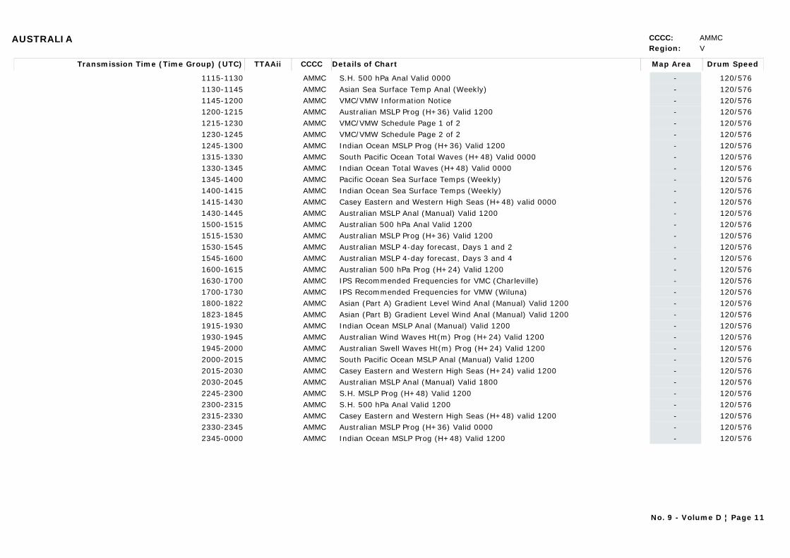
AUSTRALIA CCCC: AMMCRegion: V
Transmission Time (Time Group) (UTC) Map AreaDetails of Chart Drum SpeedTTAAii CCCC
1115-1130 -S.H. 500 hPa Anal Valid 0000 120/576AMMC1130-1145 -Asian Sea Surface Temp Anal (Weekly) 120/576AMMC1145-1200 -VMC/VMW Information Notice 120/576AMMC1200-1215 -Australian MSLP Prog (H+36) Valid 1200 120/576AMMC1215-1230 -VMC/VMW Schedule Page 1 of 2 120/576AMMC1230-1245 -VMC/VMW Schedule Page 2 of 2 120/576AMMC1245-1300 -Indian Ocean MSLP Prog (H+36) Valid 1200 120/576AMMC1315-1330 -South Pacific Ocean Total Waves (H+48) Valid 0000 120/576AMMC1330-1345 -Indian Ocean Total Waves (H+48) Valid 0000 120/576AMMC1345-1400 -Pacific Ocean Sea Surface Temps (Weekly) 120/576AMMC1400-1415 -Indian Ocean Sea Surface Temps (Weekly) 120/576AMMC1415-1430 -Casey Eastern and Western High Seas (H+48) valid 0000 120/576AMMC1430-1445 -Australian MSLP Anal (Manual) Valid 1200 120/576AMMC1500-1515 -Australian 500 hPa Anal Valid 1200 120/576AMMC1515-1530 -Australian MSLP Prog (H+36) Valid 1200 120/576AMMC1530-1545 -Australian MSLP 4-day forecast, Days 1 and 2 120/576AMMC1545-1600 -Australian MSLP 4-day forecast, Days 3 and 4 120/576AMMC1600-1615 -Australian 500 hPa Prog (H+24) Valid 1200 120/576AMMC1630-1700 -IPS Recommended Frequencies for VMC (Charleville) 120/576AMMC1700-1730 -IPS Recommended Frequencies for VMW (Wiluna) 120/576AMMC1800-1822 -Asian (Part A) Gradient Level Wind Anal (Manual) Valid 1200 120/576AMMC1823-1845 -Asian (Part B) Gradient Level Wind Anal (Manual) Valid 1200 120/576AMMC1915-1930 -Indian Ocean MSLP Anal (Manual) Valid 1200 120/576AMMC1930-1945 -Australian Wind Waves Ht(m) Prog (H+24) Valid 1200 120/576AMMC1945-2000 -Australian Swell Waves Ht(m) Prog (H+24) Valid 1200 120/576AMMC2000-2015 -South Pacific Ocean MSLP Anal (Manual) Valid 1200 120/576AMMC2015-2030 -Casey Eastern and Western High Seas (H+24) valid 1200 120/576AMMC2030-2045 -Australian MSLP Anal (Manual) Valid 1800 120/576AMMC2245-2300 -S.H. MSLP Prog (H+48) Valid 1200 120/576AMMC2300-2315 -S.H. 500 hPa Anal Valid 1200 120/576AMMC2315-2330 -Casey Eastern and Western High Seas (H+48) valid 1200 120/576AMMC2330-2345 -Australian MSLP Prog (H+36) Valid 0000 120/576AMMC2345-0000 -Indian Ocean MSLP Prog (H+48) Valid 1200 120/576AMMC
No. 9 - Volume D ¦ Page 11

AUSTRALIA CCCC: AMMCRegion: V
Scanning line density: 3.8 lines/mm. ning frequency 120 lines/minute Start Signals: Carrier modulated by 300 Hz for five (5) seconds.Phasing signals: BLACK signal interrupted by one (1) WHITE phasing pulse per revolution of the facimile drum, transmitted for at least thirty (30) seconds prior to the transmission of the chart.Stop signals: Carrier modulated by 450 Hz for five (5) seconds followed by ten (10) seconds of BLACK signal will be transmitted.
Web Link: http://www.bom.gov.au/marine/radio-sat/radio-fax-schedule.shtml
BRAZIL CCCC: SBBRRegion: III
METAREA: VStation Name: Rio de Janeiro Naval
Area Covered: Atlantic waters west of 35°W from 3°N to the Equator, and west of 20°W from the Equator to 33°S.
I. TECHNICAL SPECIFICATIONS - CARACTÉRISTIQUES TECHNIQUES
II. MAP AREA - ZONE COUVERTE PAR LA CARTE
Date: 28/10/2008
Call Sign Hours of OperationFrequency Class of Emission Band Width Power Supplied to the Antenna
PWZ-33 ALL BROADCAST TIMES 12665 kHz F3C - 1 kWPWZ-33 ALL BROADCAST TIMES 16978 kHz F3C - 1 kW
Area Area Coverage ScaleProjection
A 20N 090W,20N 000E,70 S 090W, 70S 000E 1:101,200,000
B 20N 090W,20N 020E,70S 090W,70S 020E 1:58,500,000
C 20N 090W, 20N 020E, 70S 090W, 70S 020E 1:58,500,000
D 15N 072W, 15N 018W, 50S 072W, 50S 018E 1:32,700,000
III. CONTENTS OF BROADCAST SHEDULES - CONTENU DES PROGRAMMES DE DIFFUSION
Transmission Time (Time Group) (UTC) Map AreaDetails of Chart Drum SpeedTTAAii CCCC
0745/1630 -TEST CHART 120/576SBBR0750(00)/1635(12) ASURFACE ANALYSIS (Hpa) 120/576SBBR0810(00)/1655(12) BWAVES SIG HEIGHT (m) AND DIR PROG 12/00Z+36HR 120/576SBBR0830(00)/1715(12) CWIND AT 10 m (KTS) PROG 12/00Z +36 HR 120/576SBBR0850(12)/1735(00) DSEA SURFACE TEMPERATURE 120/576SBBR
Web Link: http://www.mar.mil.br/dhn/chm/meteo/info/transmissoes/apend3ing.htm
No. 9 - Volume D ¦ Page 12

CANADA CCCC: CWAORegion: IV
METAREA: IVStation Name: Sydney, Nova Scotia (CCG)
Area Covered: North Atlantic to Barents SeaArctic coast, Atlantic Coast and S. Lawrence River
I. TECHNICAL SPECIFICATIONS - CARACTÉRISTIQUES TECHNIQUES
II. MAP AREA - ZONE COUVERTE PAR LA CARTE
Date: 2011
Call Sign Hours of OperationFrequency Class of Emission Band Width Power Supplied to the Antenna
VCO 1121-1741 4416 kHz J3CVCO 2200-2331 6915.1 kHz J3C
III. CONTENTS OF BROADCAST SHEDULES - CONTENU DES PROGRAMMES DE DIFFUSION
Transmission Time (Time Group) (UTC) Map AreaDetails of Chart Drum SpeedTTAAii CCCC
1121 ICE ANALYSIS GULF OF ST. LAWRENCE 120/576CWAO1142 ICE ANALYSIS EAST OR SOUTHEAST NEWFOUNDLAND WATERS 120/576CWAO
1741 ICE ANALYSIS ICEBERG LIMIT 120/576CWAO2200 ICE ANALYSIS GULF OF ST. LAWRENCE 120/576CWAO2331 ICE ANALYSIS EAST OR SOUTHEAST NEWFOUNDLAND WATERS 120/576CWAO
Web Link: http://www.ccg-gcc.gc.ca/folios/00026/docs/RAMN-Atlantic-2011-eng.pdf
No. 9 - Volume D ¦ Page 13
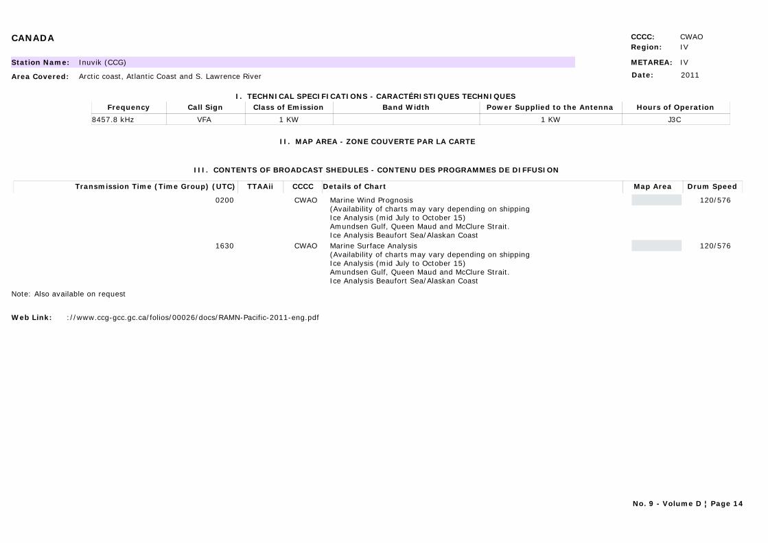
CANADA CCCC: CWAORegion: IV
METAREA: IVStation Name: Inuvik (CCG)
Area Covered: Arctic coast, Atlantic Coast and S. Lawrence River
I. TECHNICAL SPECIFICATIONS - CARACTÉRISTIQUES TECHNIQUES
II. MAP AREA - ZONE COUVERTE PAR LA CARTE
Date: 2011
Call Sign Hours of OperationFrequency Class of Emission Band Width Power Supplied to the Antenna
VFA J3C 8457.8 kHz 1 KW 1 KW
III. CONTENTS OF BROADCAST SHEDULES - CONTENU DES PROGRAMMES DE DIFFUSION
Transmission Time (Time Group) (UTC) Map AreaDetails of Chart Drum SpeedTTAAii CCCC
0200 Marine Wind Prognosis (Availability of charts may vary depending on shippingIce Analysis (mid July to October 15)Amundsen Gulf, Queen Maud and McClure Strait.Ice Analysis Beaufort Sea/Alaskan Coast
120/576CWAO
1630 Marine Surface Analysis (Availability of charts may vary depending on shippingIce Analysis (mid July to October 15)Amundsen Gulf, Queen Maud and McClure Strait.Ice Analysis Beaufort Sea/Alaskan Coast
120/576CWAO
Note: Also available on request
Web Link: ://www.ccg-gcc.gc.ca/folios/00026/docs/RAMN-Pacific-2011-eng.pdf
No. 9 - Volume D ¦ Page 14
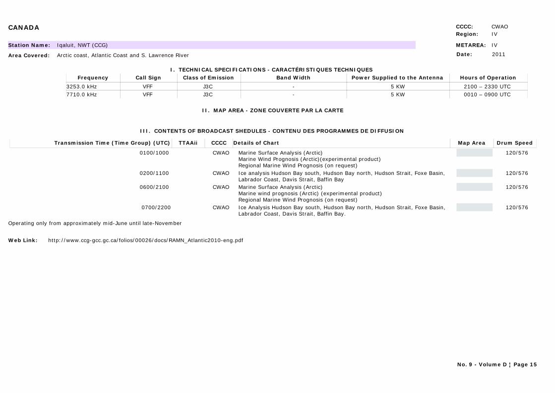
CANADA CCCC: CWAORegion: IV
METAREA: IVStation Name: Iqaluit, NWT (CCG)
Area Covered: Arctic coast, Atlantic Coast and S. Lawrence River
I. TECHNICAL SPECIFICATIONS - CARACTÉRISTIQUES TECHNIQUES
II. MAP AREA - ZONE COUVERTE PAR LA CARTE
Date: 2011
Call Sign Hours of OperationFrequency Class of Emission Band Width Power Supplied to the Antenna
VFF 2100 – 2330 UTC 3253.0 kHz J3C - 5 KWVFF 0010 – 0900 UTC 7710.0 kHz J3C - 5 KW
III. CONTENTS OF BROADCAST SHEDULES - CONTENU DES PROGRAMMES DE DIFFUSION
Transmission Time (Time Group) (UTC) Map AreaDetails of Chart Drum SpeedTTAAii CCCC
0100/1000 Marine Surface Analysis (Arctic) Marine Wind Prognosis (Arctic)(experimental product)Regional Marine Wind Prognosis (on request)
120/576CWAO
0200/1100 Ice analysis Hudson Bay south, Hudson Bay north, Hudson Strait, Foxe Basin, Labrador Coast, Davis Strait, Baffin Bay
120/576CWAO
0600/2100 Marine Surface Analysis (Arctic) Marine wind prognosis (Arctic) (experimental product)Regional Marine Wind Prognosis (on request)
120/576CWAO
0700/2200 Ice Analysis Hudson Bay south, Hudson Bay north, Hudson Strait, Foxe Basin, Labrador Coast, Davis Strait, Baffin Bay.
120/576CWAO
Operating only from approximately mid-June until late-November
Web Link: http://www.ccg-gcc.gc.ca/folios/00026/docs/RAMN_Atlantic2010-eng.pdf
No. 9 - Volume D ¦ Page 15
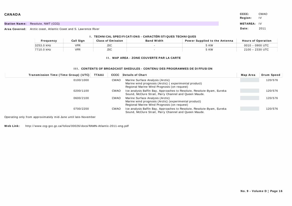
CANADA CCCC: CWAORegion: IV
METAREA: IVStation Name: Resolute, NWT (CCG)
Area Covered: Arctic coast, Atlantic Coast and S. Lawrence River
I. TECHNICAL SPECIFICATIONS - CARACTÉRISTIQUES TECHNIQUES
II. MAP AREA - ZONE COUVERTE PAR LA CARTE
Date: 2011
Call Sign Hours of OperationFrequency Class of Emission Band Width Power Supplied to the Antenna
VFR 0010 – 0900 UTC 3253.0 kHz J3C - 5 KWVFR 2100 – 2330 UTC 7710.0 kHz J3C - 5 KW
III. CONTENTS OF BROADCAST SHEDULES - CONTENU DES PROGRAMMES DE DIFFUSION
Transmission Time (Time Group) (UTC) Map AreaDetails of Chart Drum SpeedTTAAii CCCC
0100/1000 Marine Surface Analysis (Arctic) Marine wind prognosis (Arctic) ( experimental product)Regional Marine Wind Prognosis (on request)
120/576CWAO
0200/1100 Ice analysis Baffin Bay, Approaches to Resolute, Resolute-Byam, Eureka Sound, McClure Strait, Parry Channel and Queen Maude.
120/576CWAO
0600/2100 Marine Surface Analysis (Arctic) Marine wind prognosis (Arctic) (experimental product)Regional Marine Wind Prognosis (on request)
120/576CWAO
0700/2200 Ice analysis Baffin Bay, Approaches to Resolute, Resolute-Byam, Eureka Sound, McClure Strait, Parry Channel and Queen Maude.
120/576CWAO
Operating only from approximately mid-June until late-November
Web Link: http://www.ccg-gcc.gc.ca/folios/00026/docs/RAMN-Atlantic-2011-eng.pdf
No. 9 - Volume D ¦ Page 16

CANADA CCCC: CWAORegion: IV
METAREA: IVStation Name: Halifax, Nova Scotia (CCG)
Area Covered: Arctic coast, Atlantic Coast and S. Lawrence River
I. TECHNICAL SPECIFICATIONS - CARACTÉRISTIQUES TECHNIQUES
II. MAP AREA - ZONE COUVERTE PAR LA CARTE
Date: 2011
Call Sign Hours of OperationFrequency Class of Emission Band Width Power Supplied to the Antenna
CFH ALL BROADCAST TIMES 122.5 kHz F3C - 10 kWCFH ALL BROADCAST TIMES 4271 kHz F3C - 6 kWCFH ALL BROADCAST TIMES 6496.4 kHz F3C - 6 kWCFH ALL BROADCAST TIMES 10536 kHz F3C - 6 kWCFH ALL BROADCAST TIMES 13510 kHz F3C - 6 kW
Area Area Coverage ScaleProjection
A. 56N 87W, 56N 24W, 34N 38W, 34N 73W
B. 76N 16W, 30N 20W, 23N 11W, 08N 69W
C. 52N 80W, 65N 15W, 30N 60W, 34N 17W
D. 60N 68W, 60N 33W, 43N 33W, 43N 68W
E. 50N 75W, 50N 48W, 34N 48W, 34N 75W
F. 52N 98W, 58N 24W, 30N 39W, 28N 78W
G. 52N 98W, 56N 24W, 30N 39W, 28N 78W
H. 30N 107W, 15N 67W, 34N 24W, 79N 60W
I. 54N 100W, 58N 22W, 30N 39W, 28N 78W
No. 9 - Volume D ¦ Page 17
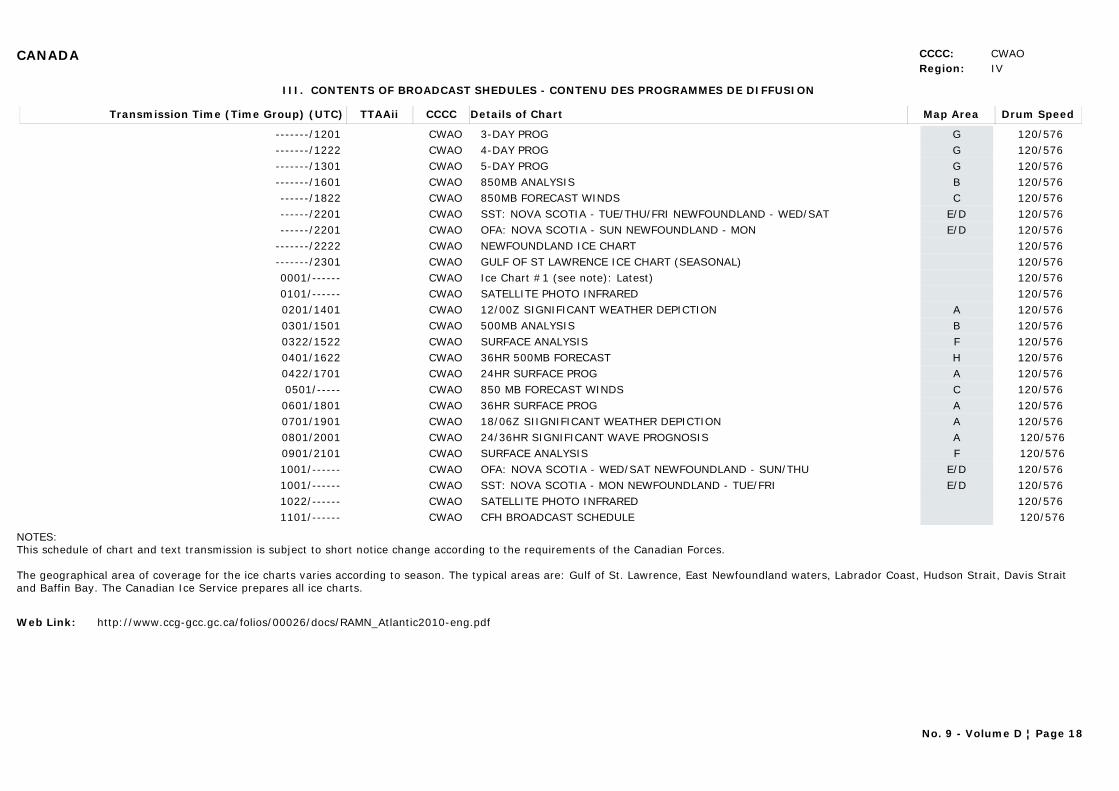
CANADA CCCC: CWAORegion: IV
III. CONTENTS OF BROADCAST SHEDULES - CONTENU DES PROGRAMMES DE DIFFUSION
Transmission Time (Time Group) (UTC) Map AreaDetails of Chart Drum SpeedTTAAii CCCC
-------/1201 G3-DAY PROG 120/576 CWAO-------/1222 G4-DAY PROG 120/576 CWAO-------/1301 G5-DAY PROG 120/576 CWAO-------/1601 B850MB ANALYSIS 120/576 CWAO------/1822 C850MB FORECAST WINDS 120/576 CWAO------/2201 E/DSST: NOVA SCOTIA - TUE/THU/FRI NEWFOUNDLAND - WED/SAT 120/576 CWAO------/2201 E/DOFA: NOVA SCOTIA - SUN NEWFOUNDLAND - MON 120/576 CWAO
-------/2222 NEWFOUNDLAND ICE CHART 120/576 CWAO-------/2301 GULF OF ST LAWRENCE ICE CHART (SEASONAL) 120/576 CWAO0001/------ Ice Chart #1 (see note): Latest) 120/576 CWAO0101/------ SATELLITE PHOTO INFRARED 120/576 CWAO0201/1401 A12/00Z SIGNIFICANT WEATHER DEPICTION 120/576 CWAO0301/1501 B500MB ANALYSIS 120/576 CWAO0322/1522 FSURFACE ANALYSIS 120/576 CWAO0401/1622 H36HR 500MB FORECAST 120/576 CWAO0422/1701 A24HR SURFACE PROG 120/576 CWAO0501/----- C850 MB FORECAST WINDS 120/576 CWAO0601/1801 A36HR SURFACE PROG 120/576 CWAO0701/1901 A18/06Z SIIGNIFICANT WEATHER DEPICTION 120/576 CWAO0801/2001 A24/36HR SIGNIFICANT WAVE PROGNOSIS 120/576CWAO0901/2101 FSURFACE ANALYSIS 120/576CWAO1001/------ E/DOFA: NOVA SCOTIA - WED/SAT NEWFOUNDLAND - SUN/THU 120/576 CWAO1001/------ E/DSST: NOVA SCOTIA - MON NEWFOUNDLAND - TUE/FRI 120/576 CWAO1022/------ SATELLITE PHOTO INFRARED 120/576 CWAO1101/------ CFH BROADCAST SCHEDULE 120/576CWAO
NOTES:This schedule of chart and text transmission is subject to short notice change according to the requirements of the Canadian Forces.
The geographical area of coverage for the ice charts varies according to season. The typical areas are: Gulf of St. Lawrence, East Newfoundland waters, Labrador Coast, Hudson Strait, Davis Strait and Baffin Bay. The Canadian Ice Service prepares all ice charts.
Web Link: http://www.ccg-gcc.gc.ca/folios/00026/docs/RAMN_Atlantic2010-eng.pdf
No. 9 - Volume D ¦ Page 18
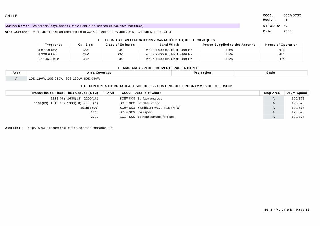
CHILE CCCC: SCEF/SCSCRegion: III
METAREA: XVStation Name: Valparaiso Playa Ancha (Radio Centro de Telecomunicaciones Maritimas)
Area Covered: East Pacific - Ocean areas south of 33°S between 20°W and 70°W. Chilean Maritime area
I. TECHNICAL SPECIFICATIONS - CARACTÉRISTIQUES TECHNIQUES
II. MAP AREA - ZONE COUVERTE PAR LA CARTE
Date: 2006
Call Sign Hours of OperationFrequency Class of Emission Band Width Power Supplied to the Antenna
CBV H248 677.0 kHz F3C white +400 Hz, black -400 Hz 1 kWCBV H244 228.0 kHz F3C white +400 Hz, black -400 Hz 1 kWCBV H2417 146.4 kHz F3C white +400 Hz, black -400 Hz 1 kW
Area Area Coverage ScaleProjection
A 10S-120W, 10S-050W, 80S-130W, 80S-030W
III. CONTENTS OF BROADCAST SHEDULES - CONTENU DES PROGRAMMES DE DIFFUSION
Transmission Time (Time Group) (UTC) Map AreaDetails of Chart Drum SpeedTTAAii CCCC
1115(06) 1630(12) 2200(18) ASurface analysis 120/576SCEF/SCS1130(09) 1645(15) 1930(18) 2325(21) ASatellite image 120/576SCEF/SCS
1915(1200) ASignificant wave map (MTS) 120/576SCEF/SCS2215 AIce report 120/576SCEF/SCS2310 A12 hour surface forecast 120/576SCEF/SCS
Web Link: http://www.directemar.cl/meteo/operador/horarios.htm
No. 9 - Volume D ¦ Page 19
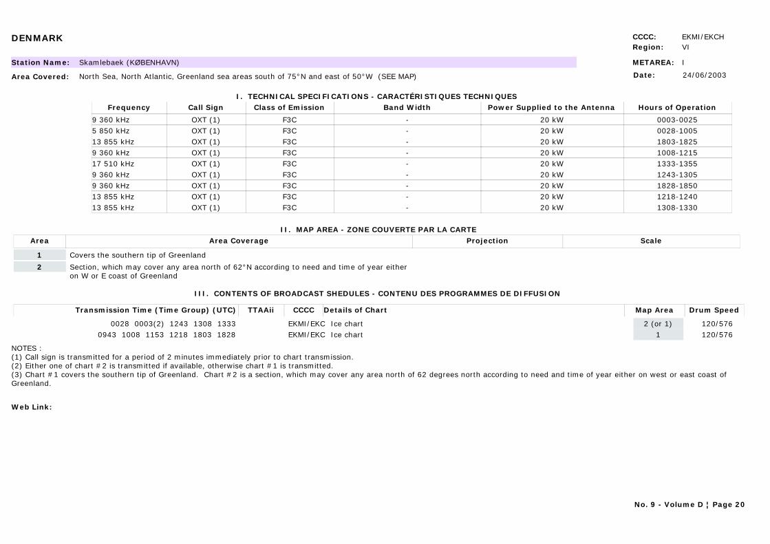
DENMARK CCCC: EKMI/EKCHRegion: VI
METAREA: IStation Name: Skamlebaek (KØBENHAVN)
Area Covered: North Sea, North Atlantic, Greenland sea areas south of 75°N and east of 50°W (SEE MAP)
I. TECHNICAL SPECIFICATIONS - CARACTÉRISTIQUES TECHNIQUES
II. MAP AREA - ZONE COUVERTE PAR LA CARTE
Date: 24/06/2003
Call Sign Hours of OperationFrequency Class of Emission Band Width Power Supplied to the Antenna
OXT (1) 0003-00259 360 kHz F3C - 20 kWOXT (1) 0028-10055 850 kHz F3C - 20 kWOXT (1) 1803-182513 855 kHz F3C - 20 kWOXT (1) 1008-12159 360 kHz F3C - 20 kWOXT (1) 1333-135517 510 kHz F3C - 20 kWOXT (1) 1243-13059 360 kHz F3C - 20 kWOXT (1) 1828-18509 360 kHz F3C - 20 kWOXT (1) 1218-124013 855 kHz F3C - 20 kWOXT (1) 1308-133013 855 kHz F3C - 20 kW
Area Area Coverage ScaleProjection
1 Covers the southern tip of Greenland
2 Section, which may cover any area north of 62°N according to need and time of year either on W or E coast of Greenland
III. CONTENTS OF BROADCAST SHEDULES - CONTENU DES PROGRAMMES DE DIFFUSION
Transmission Time (Time Group) (UTC) Map AreaDetails of Chart Drum SpeedTTAAii CCCC
0028 0003(2) 1243 1308 1333 2 (or 1)Ice chart 120/576EKMI/EKC0943 1008 1153 1218 1803 1828 1Ice chart 120/576EKMI/EKC
NOTES :(1) Call sign is transmitted for a period of 2 minutes immediately prior to chart transmission.(2) Either one of chart #2 is transmitted if available, otherwise chart #1 is transmitted.(3) Chart #1 covers the southern tip of Greenland. Chart #2 is a section, which may cover any area north of 62 degrees north according to need and time of year either on west or east coast of Greenland.
Web Link:
No. 9 - Volume D ¦ Page 20
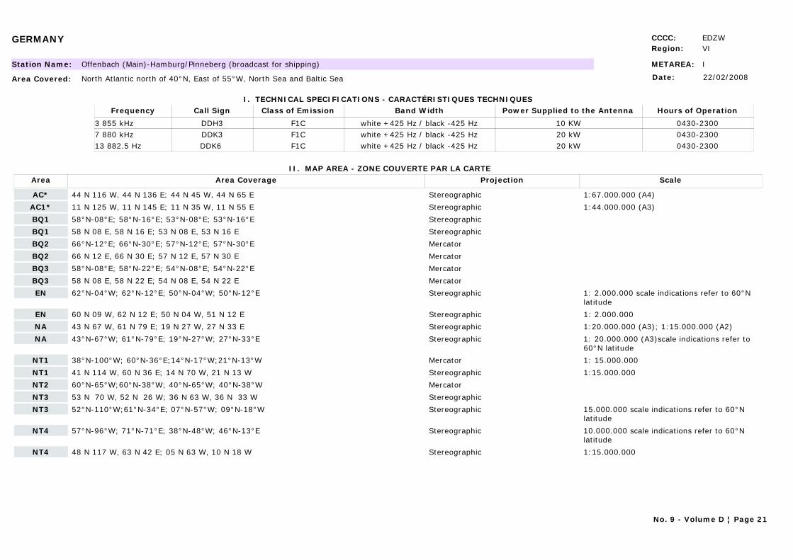
GERMANY CCCC: EDZWRegion: VI
METAREA: IStation Name: Offenbach (Main)-Hamburg/Pinneberg (broadcast for shipping)
Area Covered: North Atlantic north of 40°N, East of 55°W, North Sea and Baltic Sea
I. TECHNICAL SPECIFICATIONS - CARACTÉRISTIQUES TECHNIQUES
II. MAP AREA - ZONE COUVERTE PAR LA CARTE
Date: 22/02/2008
Call Sign Hours of OperationFrequency Class of Emission Band Width Power Supplied to the Antenna
DDH3 0430-23003 855 kHz F1C white +425 Hz / black -425 Hz 10 KWDDK3 0430-23007 880 kHz F1C white +425 Hz / black -425 Hz 20 kWDDK6 0430-230013 882.5 Hz F1C white +425 Hz / black -425 Hz 20 kW
Area Area Coverage ScaleProjection
AC* 44 N 116 W, 44 N 136 E; 44 N 45 W, 44 N 65 E Stereographic 1:67.000.000 (A4)
AC1* 11 N 125 W, 11 N 145 E; 11 N 35 W, 11 N 55 E Stereographic 1:44.000.000 (A3)
BQ1 58°N-08°E; 58°N-16°E; 53°N-08°E; 53°N-16°E Stereographic
BQ1 58 N 08 E, 58 N 16 E; 53 N 08 E, 53 N 16 E Stereographic
BQ2 66°N-12°E; 66°N-30°E; 57°N-12°E; 57°N-30°E Mercator
BQ2 66 N 12 E, 66 N 30 E; 57 N 12 E, 57 N 30 E Mercator
BQ3 58°N-08°E; 58°N-22°E; 54°N-08°E; 54°N-22°E Mercator
BQ3 58 N 08 E, 58 N 22 E; 54 N 08 E, 54 N 22 E Mercator
EN 62°N-04°W; 62°N-12°E; 50°N-04°W; 50°N-12°E Stereographic 1: 2.000.000 scale indications refer to 60°N latitude
EN 60 N 09 W, 62 N 12 E; 50 N 04 W, 51 N 12 E Stereographic 1: 2.000.000
NA 43 N 67 W, 61 N 79 E; 19 N 27 W, 27 N 33 E Stereographic 1:20.000.000 (A3); 1:15.000.000 (A2)
NA 43°N-67°W; 61°N-79°E; 19°N-27°W; 27°N-33°E Stereographic 1: 20.000.000 (A3)scale indications refer to 60°N latitude
NT1 38°N-100°W; 60°N-36°E;14°N-17°W;21°N-13°W Mercator 1: 15.000.000
NT1 41 N 114 W, 60 N 36 E; 14 N 70 W, 21 N 13 W Stereographic 1:15.000.000
NT2 60°N-65°W;60°N-38°W; 40°N-65°W; 40°N-38°W Mercator
NT3 53 N 70 W, 52 N 26 W; 36 N 63 W, 36 N 33 W Stereographic
NT3 52°N-110°W;61°N-34°E; 07°N-57°W; 09°N-18°W Stereographic 15.000.000 scale indications refer to 60°N latitude
NT4 57°N-96°W; 71°N-71°E; 38°N-48°W; 46°N-13°E Stereographic 10.000.000 scale indications refer to 60°N latitude
NT4 48 N 117 W, 63 N 42 E; 05 N 63 W, 10 N 18 W Stereographic 1:15.000.000
No. 9 - Volume D ¦ Page 21
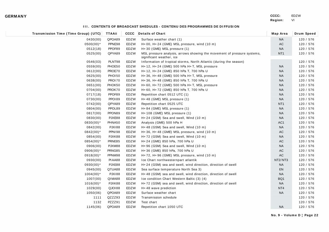
GERMANY CCCC: EDZWRegion: VI
III. CONTENTS OF BROADCAST SHEDULES - CONTENU DES PROGRAMMES DE DIFFUSION
Transmission Time (Time Group) (UTC) Map AreaDetails of Chart Drum SpeedTTAAii CCCC
0430(00) NASurface weather chart (1) 120 / 576QPOA89 EDZW0500(00)* ACH+00, H+24 (GME) MSL pressure, wind (10 m) 120 / 576PPNE98 EDZW0512(18) NAH+30 (GME) MSL pressure (1) 120 / 576PPOF89 EDZW0525(00) NT1MSL pressure analysis, arrows showing the movement of pressure systems,
significant weather, ice120 / 576QPYA89 EDZW
0546(03) Information of tropical storms, North Atlantic (during the season) 120 / 576PLNT98 EDZW0559(00) NAH+12, H+24 (GME) 500 hPa H+T, MSL pressure 120 / 576PHOE50 EDZW0612(00) NAH+12, H+24 (GME) 850 hPa T, 700 hPa U 120 / 576PROE70 EDZW0625(00) NAH+36, H+48 (GME) 500 hPa H+T, MSL pressure 120 / 576PHOI50 EDZW0638(00) NAH+36, H+48 (GME) 850 hPa T, 700 hPa U 120 / 576PROI70 EDZW0651(00) NAH+60, H+72 (GME) 500 hPa H+T, MSL pressure 120 / 576PHOK50 EDZW0704(00) NAH+60, H+72 (GME) 850 hPa T, 700 hPa U 120 / 576PROK70 EDZW0717(18) NARepetition chart 0512 UTC (1) 120 / 576PPOF89 EDZW0730(00) NAH+48 (GME) MSL pressure (1) 120 / 576PPOI89 EDZW0742(00) NT1Repetition chart 0525 UTC 120 / 576QPYA89 EDZW0804(00) NAH+84 (GME) MSL pressure (1) 120 / 576PPOL89 EDZW0817(00) NAH+108 (GME) MSL pressure (1) 120 / 576PPON89 EDZW0830(00) NAH+24 (GSM) Sea and swell, Wind (10 m) 120 / 576PJXE88 EDZW
0830(00)* AC1Analysis (GME) 500 hPa H 120 / 576PHNA50 EDZW0842(00) NAH+48 (GSM) Sea and swell, Wind (10 m) 120 / 576PJXI88 EDZW
0842(00)* ACH+36, H+48 (GME) MSL pressure, wind (10 m) 120 / 576PPNI98 EDZW0854(00) NAH+72 (GSM) Sea and swell, Wind (10 m) 120 / 576PJXK88 EDZW
0854(00)* ACH+24 (GME) 850 hPa, 700 hPa U 120 / 576PRNE85 EDZW0906(00) NAH+96 (GSM) Sea and swell, Wind (10 m) 120 / 576PJXM88 EDZW
0906(00)* ACH+36 (GME) 850 hPa, 700 hPa U 120 / 576PRNG85 EDZW0918(00)* ACH+72, H+96 (GME) MSL pressure, wind (10 m) 120 / 576PPNM98 EDZW0930(00) NT2/NT3Ice Chart northwesternpart atlantik 120 / 576PIAA88 EDZW
0930(00)* NAH+24 (GSM) sea and swell, wind direction, direction of swell 120 / 576PJXE88 EDZW0945(00) ENSea surface temperature North Sea 3) 120 / 576QTUA88 EDZW
1004(00)* NAH+48 (GSM) sea and swell, wind direction, direction of swell 120 / 576PJXI88 EDZW1007(00) BQ1Ice condition Chart Western Baltic (3) (4) 120 / 576QIMA88 EDZW
1016(00)* NAH+72 (GSM) sea and swell, wind direction, direction of swell 120 / 576PJXK88 EDZW1029(00) NT4H+48 wave prediction 120 / 576QJOI88 EDZW1050(06) NASurface weather chart 120 / 576QPOA89 EDZW
1111 Transmission schedule 120 / 576QZZZ93 EDZW1132 Test chart 120 / 576PZZZ91 EDZW
1145(06) NARepetition chart 1050 UTC 120 / 576QPOA89 EDZW
No. 9 - Volume D ¦ Page 22
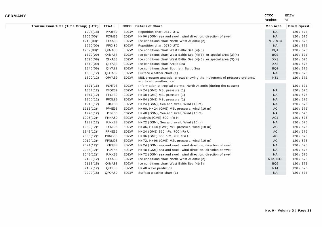
GERMANY CCCC: EDZWRegion: VI
Transmission Time (Time Group) (UTC) Map AreaDetails of Chart Drum SpeedTTAAii CCCC
1205(18) NARepetition chart 0512 UTC 120 / 576PPOF89 EDZW1206(00)* NAH+96 (GSM) sea and swell, wind direction, direction of swell 120 / 576PJXM88 EDZW1219(00)* NT2,NT3Ice conditions chart North-West Atlantic (2) 120 / 576PIAA88 EDZW1220(00) NARepetition chart 0730 UTC 120 / 576PPOI89 EDZW
1232(00)* BQ1Ice conditions chart West Baltic Sea (4)(5) 120 / 576QIMA88 EDZW1520(09) BQ2Ice conditions chart West Baltic Sea (4)(5) or special area (3)(4) 120 / 576QIMA88 EDZW1520(09) XX1Ice conditions chart West Baltic Sea (4)(5) or special area (3)(4) 120 / 576QIXA88 EDZW1540(09) XX2Ice conditions chart Arctic Sea 120 / 576QIYA88 EDZW1540(09) BQ3Ice conditions chart Southern Baltic Sea 120 / 576QIYA88 EDZW1600(12) NASurface weather chart (1) 120 / 576QPOA89 EDZW1800(12) NT1MSL pressure analysis, arrows showing the movement of pressure systems,
significant weather, ice 120 / 576QPYA89 EDZW
1821(15) Information of tropical storms, North Atlantic (during the season) 120 / 576PLNT98 EDZW1834(12) NAH+24 (GME) MSL pressure (1) 120 / 576PPOE89 EDZW1847(12) NAH+48 (GME) MSL pressure (1) 120 / 576PPOI89 EDZW1900(12) NAH+84 (GME) MSL pressure (1) 120 / 576PPOL89 EDZW1913(12) NAH+24 (GSM), Sea and swell, Wind (10 m) 120 / 576PJXE88 EDZW
1913(12)* ACH+00, H+24 (GME) MSL pressure, wind (10 m) 120 / 576PPNE98 EDZW1926(12) NAH+48 (GSM), Sea and swell, Wind (10 m) 120 / 576PJXI88 EDZW
1926(12)* AC1Analysis (GME) 500 hPa H 120 / 576PHNA50 EDZW1939(12) NAH+72 (GSM), Sea and swell, Wind (10 m) 120 / 576PJXK88 EDZW
1939(12)* ACH+36, H+48 (GME) MSL pressure, wind (10 m) 120 / 576PPNI98 EDZW1948(12)* ACH+24 (GME) 850 hPa, 700 hPa U 120 / 576PRNE85 EDZW2000(12)* ACH+36 (GME) 850 hPa, 700 hPa U 120 / 576PRNG85 EDZW2012(12)* ACH+72, H+96 (GME) MSL pressure, wind (10 m) 120 / 576PPNM98 EDZW2024(12)* NAH+24 (GSM) sea and swell, wind direction, direction of swell 120 / 576PJXE88 EDZW2036(12)* NAH+48 (GSM) sea and swell, wind direction, direction of swell 120 / 576PJXI88 EDZW2048(12)* NAH+72 (GSM) sea and swell, wind direction, direction of swell 120 / 576PJXK88 EDZW2100(12) NT2, NT3Ice conditions chart North-West Atlantic (2) 120 / 576PIAA88 EDZW2115(15) BQ2Ice conditions chart West Baltic Sea (4)(5) 120 / 576QIMA88 EDZW2137(12) NT4H+48 wave prediction 120 / 576QJOI88 EDZW2200(18) NASurface weather chart (1) 120 / 576QPOA89 EDZW
No. 9 - Volume D ¦ Page 23
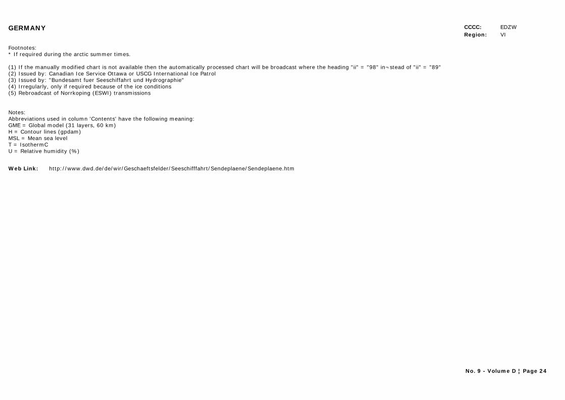
GERMANY CCCC: EDZWRegion: VI
Footnotes:* If required during the arctic summer times.
(1) If the manually modified chart is not available then the automatically processed chart will be broadcast where the heading "ii" = "98" in¬stead of "ii" = "89" (2) Issued by: Canadian Ice Service Ottawa or USCG International Ice Patrol (3) Issued by: "Bundesamt fuer Seeschiffahrt und Hydrographie" (4) Irregularly, only if required because of the ice conditions (5) Rebroadcast of Norrkoping (ESWI) transmissions
Notes: Abbreviations used in column 'Contents' have the following meaning:
GME = Global model (31 layers, 60 km) H = Contour lines (gpdam)
MSL = Mean sea level T = IsothermC U = Relative humidity (%)
Web Link: http://www.dwd.de/de/wir/Geschaeftsfelder/Seeschifffahrt/Sendeplaene/Sendeplaene.htm
No. 9 - Volume D ¦ Page 24
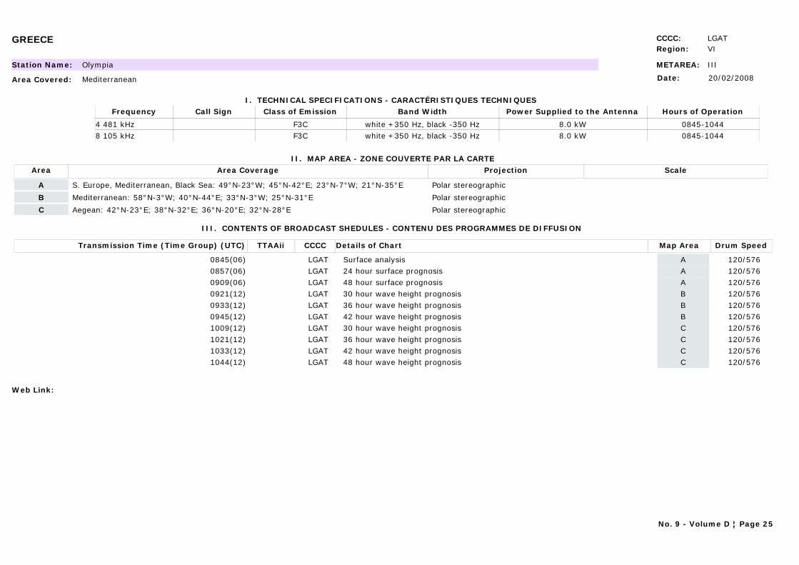
GREECE CCCC: LGATRegion: VI
METAREA: IIIStation Name: Olympia
Area Covered: Mediterranean
I. TECHNICAL SPECIFICATIONS - CARACTÉRISTIQUES TECHNIQUES
II. MAP AREA - ZONE COUVERTE PAR LA CARTE
Date: 20/02/2008
Call Sign Hours of OperationFrequency Class of Emission Band Width Power Supplied to the Antenna
0845-10444 481 kHz F3C white +350 Hz, black -350 Hz 8.0 kW0845-10448 105 kHz F3C white +350 Hz, black -350 Hz 8.0 kW
Area Area Coverage ScaleProjection
A S. Europe, Mediterranean, Black Sea: 49°N-23°W; 45°N-42°E; 23°N-7°W; 21°N-35°E Polar stereographic
B Mediterranean: 58°N-3°W; 40°N-44°E; 33°N-3°W; 25°N-31°E Polar stereographic
C Aegean: 42°N-23°E; 38°N-32°E; 36°N-20°E; 32°N-28°E Polar stereographic
III. CONTENTS OF BROADCAST SHEDULES - CONTENU DES PROGRAMMES DE DIFFUSION
Transmission Time (Time Group) (UTC) Map AreaDetails of Chart Drum SpeedTTAAii CCCC
0845(06) ASurface analysis 120/576LGAT0857(06) A24 hour surface prognosis 120/576LGAT0909(06) A48 hour surface prognosis 120/576LGAT0921(12) B30 hour wave height prognosis 120/576LGAT0933(12) B36 hour wave height prognosis 120/576LGAT0945(12) B42 hour wave height prognosis 120/576LGAT1009(12) C30 hour wave height prognosis 120/576LGAT1021(12) C36 hour wave height prognosis 120/576LGAT1033(12) C42 hour wave height prognosis 120/576LGAT1044(12) C48 hour wave height prognosis 120/576LGAT
Web Link:
No. 9 - Volume D ¦ Page 25

HAWAII (U.S.) CCCC:Region: V
METAREA: XIIStation Name: Honolulu, Hawaii, USA
Area Covered: East Pacific
I. TECHNICAL SPECIFICATIONS - CARACTÉRISTIQUES TECHNIQUES
II. MAP AREA - ZONE COUVERTE PAR LA CARTE
Date: 24/01/2011
Call Sign Hours of OperationFrequency Class of Emission Band Width Power Supplied to the Antenna
KVM70 0519-1556 9982.5 kHz F3C - 4 KWKVM70 ALL BROADCAST TIMES 11090 kHz F3C - 4 KWKVM70 1719-0356 16135 kHz F3C - 4 KW
Area Area Coverage ScaleProjection
1. 20N - 70N, 115W - 135E Ocean Prediction Center
2. 20N - 70N, 115W - 175W Ocean Prediction Center
3. 20N - 70N, 175W - 135E Ocean Prediction Center
4. 18N - 62N, EAST OF 157W Ocean Prediction Center
5. 05N - 55N, EAST OF 180W Ocean Prediction Center
A. 30S - 50N, 110W - 130E Honolulu Forecast Office
B. 30S - 30N, 110W - 130E Honolulu Forecast Office
C. EQ - 50N, 110W - 130E Honolulu Forecast Office
D. 30S - 50N, 110W - 160E Honolulu Forecast Office
E. EQ - 40N, 80W - 170E Honolulu Forecast Office
F. EQ - 55N, 110W - 160E Honolulu Forecast Office
G. 05S - 55N, 110W - 155E Honolulu Forecast Office
H. 40S - 05N, 130W - 165E Honolulu Forecast Office
Y. 05N - 32N, EAST OF 130W National Hurricane Center
Z. 20S - 30N, EAST OF 145W National Hurricane Center
No. 9 - Volume D ¦ Page 26
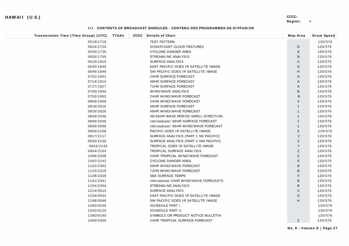
HAWAII (U.S.) CCCC:Region: V
III. CONTENTS OF BROADCAST SHEDULES - CONTENU DES PROGRAMMES DE DIFFUSION
Transmission Time (Time Group) (UTC) Map AreaDetails of Chart Drum SpeedTTAAii CCCC
0519/1719 TEST PATTERN 120/5760524/1724 DSIGNIFICANT CLOUD FEATURES 120/576 0535/1735 ECYCLONE DANGER AREA 120/576 0555/1755 BSTREAMLINE ANALYSIS 120/576 0615/1815 CSURFACE ANALYSIS 120/570 0635/1835 GEAST PACIFIC GOES IR SATELLITE IMAGE 120/576 0649/1849 HSW PACIFIC GOES IR SATELLITE IMAGE 120/576 0701/1901 A24HR SURFACE FORECAST 120/576 0714/1914 A48HR SURFACE FORECAST 120/576 0727/1927 A72HR SURFACE FORECAST 120/576 0740/1940 BWIND/WAVE ANALYSIS 120/576 0753/1953 B24HR WIND/WAVE FORECAST 120/576 0806/2006 424HR WIND/WAVE FORECAST 120/576 0816/2016 148HR SURFACE FORECAST 120/576 0826/2026 148HR WIND/WAVE FORECAST 120/576 0836/2036 148/96HR WAVE PERIOD,SWELL DIRECTION 120/576 0846/2046 1rebroadcast/ 96HR SURFACE FORECAST 120/576 0856/2056 1rebroadcast/ 96HR WIND/WAVE FORECAST 120/576 0906/2106 5PACIFIC GOES IR SATELLITE IMAGE 120/5760917/2117 2SURFACE ANALYSIS (PART 1 NE PACIFIC) 120/576 0930/2130 3SURFACE ANALYSIS (PART 2 NW PACIFIC) 120/576 0943/2143 YTROPICAL GOES IR SATELLITE IMAGE 120/576
0954/2154 ZTROPICAL SURFACE ANALYSIS 120/576 1008/2208 Z24HR TROPICAL WIND/WAVE FORECAST 120/576 1042/2242 ECYCLONE DANGER AREA 120/570 1102/2302 B48HR WIND/WAVE FORECAST 120/576 1115/2315 B72HR WIND/WAVE FORECAST 120/576 1128/2328 FSEA SURFACE TEMPS 120/576 1141/2341 Brebroadcast 24HR WIND/WAVE FORECASTS 120/576 1154/2354 BSTREAMLINE ANALYSIS 120/576 1214/0014 CSURFACE ANALYSIS 120/576 1234/0034 GEAST PACIFIC GOES IR SATELLITE IMAGE 120/576 1248/0048 HSW PACIFIC GOES IR SATELLITE IMAGE 120/576 1300/0100 SCHEDULE PART I 120/5761320/0120 SCHEDULE PART II 120/5761340/0140 SYMBOLS OR PRODUCT NOTICE BULLETIN 120/5761400/0200 Z24HR TROPICAL SURFACE FORECAST 120/576
No. 9 - Volume D ¦ Page 27

HAWAII (U.S.) CCCC:Region: V
Transmission Time (Time Group) (UTC) Map AreaDetails of Chart Drum SpeedTTAAii CCCC
1410/0210 Z48HR TROPICAL SURFACE FORECAST 120/576 1420/0220 Z72HR TROPICAL SURFACE FORECAST 120/576 1430/0230 Z48/72HR TROPICAL WAVE PERIOD,SWELL DIR 120/576 1440/0240 ZTROPICAL SEA STATE ANALYSIS 120/576 1450/0250 Zrebroadcast 24HR TROPICAL WIND/WAVE FORECASTS 120/576 1500/0300 Z48HR TROPICAL WIND/WAVE FORECAST 120/5761510/0310 Z72HR TROPICAL WIND/WAVE FORECAST 120/5761520/0320 1rebroadcast/SEA STATE ANALYSIS 120/576 1530/0330 2SURFACE ANALYSIS(PART 1 NE PAC) 120/576 1543/0343 3SURFACE ANALYSIS(PART 2 NW PAC) 120/576 1556/0356 ZTROPICAL SURFACE ANALYSIS 120/576
NOTES:STREAMLINES ARE LINES OF CONSTANT WIND DIRECTION.WIND SPEEDS ARE GIVEN BY WIND BARBS INDEPENDENT OF STREAMLINES.THE SIGNIFICANT CLOUD FEATURES CHARTS DEPICT CLOUD FEATURES BASED UPON IMAGES FROM THE VARIOUS GEOSTATIONARY AND POLAR ORBITING SATELLITES OVER THE PACIFIC. ABBREVIATIONS ON THESE CHARTS INCLUDE:AC - ALTOCUMULUS; AS - ALTOSTRATUS; BKN - BROKEN; CB - CUMULONIMBUS; CC - CIRROCUMULUS;CI - CIRRUS; CS - CIRROSTRATUS; CU - CUMULUS; FEW - FEW; ISOL - ISOLATED;LYRS - LAYERS; NS - NIMBOSTRATUS; OVC - OVERCAST; SC - STRATO-CUMULUS; SCT - SCATTERED; TCU - TOWERING CUMULUS; TSTM – THUNDERSTORM.RADIOFAX FREQUENCIES ARE ASSIGNED FREQUENCIES. TO CONVERT TO CARRIER FREQUENCIES, SUBTRACT 1.9 KHZ FROM THE ASSIGNED FREQUENCIES.YOU MAY ADDRESS COMMENTS ABOUT THIS BROADCAST TO:Meteorologist In ChargeNational Weather Service2525 Correa Rd.Honolulu, HI 96822PHONE: (808) 973-5270/FAX: (808) 973-5281E-Mail [email protected] of these charts also broadcast via Pt. Reyes, CA and Kodiak, AKIf you have access to the World Wide Web be certain to check out the following webpages. See these pages for further links.http://www.nws.noaa.gov NWS Homepagehttp://www.nws.noaa.gov/om/marine/home.htm NWS Marine Pagecell.weather.gov (WAP/WML browser required) Cellphone pagemobile.weather.gov Mobile Page
Web Link: http://weather.noaa.gov/pub/fax/hfhi.txt
No. 9 - Volume D ¦ Page 28
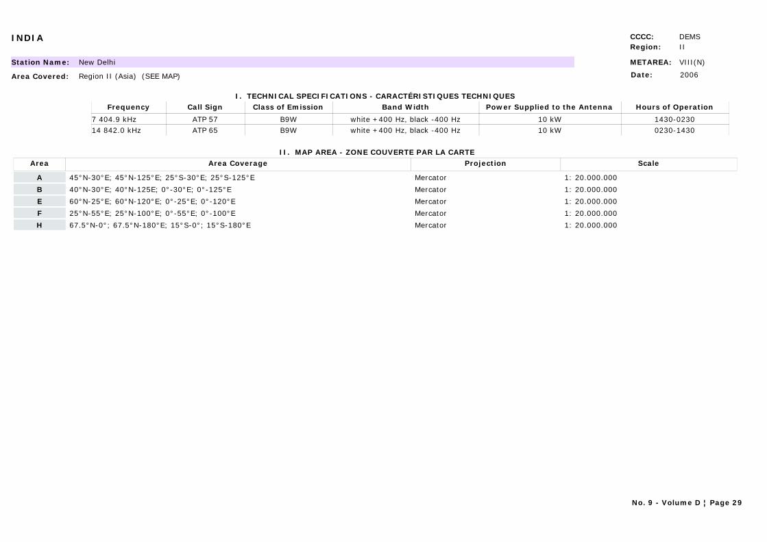
INDIA CCCC: DEMSRegion: II
METAREA: VIII(N)Station Name: New Delhi
Area Covered: Region II (Asia) (SEE MAP)
I. TECHNICAL SPECIFICATIONS - CARACTÉRISTIQUES TECHNIQUES
II. MAP AREA - ZONE COUVERTE PAR LA CARTE
Date: 2006
Call Sign Hours of OperationFrequency Class of Emission Band Width Power Supplied to the Antenna
ATP 57 1430-02307 404.9 kHz B9W white +400 Hz, black -400 Hz 10 kWATP 65 0230-143014 842.0 kHz B9W white +400 Hz, black -400 Hz 10 kW
Area Area Coverage ScaleProjection
A 45°N-30°E; 45°N-125°E; 25°S-30°E; 25°S-125°E Mercator 1: 20.000.000
B 40°N-30°E; 40°N-125E; 0°-30°E; 0°-125°E Mercator 1: 20.000.000
E 60°N-25°E; 60°N-120°E; 0°-25°E; 0°-120°E Mercator 1: 20.000.000
F 25°N-55°E; 25°N-100°E; 0°-55°E; 0°-100°E Mercator 1: 20.000.000
H 67.5°N-0°; 67.5°N-180°E; 15°S-0°; 15°S-180°E Mercator 1: 20.000.000
No. 9 - Volume D ¦ Page 29
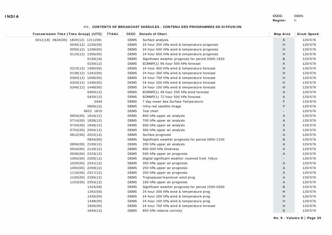
INDIA CCCC: DEMSRegion: II
III. CONTENTS OF BROADCAST SHEDULES - CONTENU DES PROGRAMMES DE DIFFUSION
Transmission Time (Time Group) (UTC) Map AreaDetails of Chart Drum SpeedTTAAii CCCC
0011(18) 0634(00) 1820(12) 1211(06) ASurface analysis 120/576DEMS0030(12) 1230(00) H24 hour 250 hPa wind & temperature prognosis 120/576DEMS0050(12) 1248(00) H24 hour 500 hPa wind & temperature prognosis 120/576DEMS0110(12) 1306(00) H24 hour 850 hPa wind & temperature prognosis 120/576DEMS
0130(18) BSignificant weather prognosis for period 0300-1500 120/576DEMS0150(12) AECMWF(1) 96 hour 500 hPa forecast 120/576DEMS
0210(12) 1400(00) H24 hour 400 hPa wind & temperature forecast 120/576DEMS0238(12) 1342(00) H24 hour 300 hPa wind & temperature forecast 120/576DEMS0300(12) 1506(00) H24 hour 700 hPa wind & temperature forecast 120/576DEMS0320(12) 1430(00) H24 hour 200 hPa wind & temperature forecast 120/576DEMS0340(12) 1448(00) H24 hour 150 hPa wind & temperature forecast 120/576DEMS
0400(12) AECMWF(1) 48 hour 200 hPa wind forecast 120/576DEMS0420(12) AECMWF(1) 72 hour 500 hPa forecast 120/576DEMS
0440 F7 day mean Sea Surface Temperature 120/576DEMS0600(12) FInfra-red satellite image 120/576DEMS
0622 1810 -Test chart 120/576DEMS0654(00) 1910(12) A850 hPa upper air analysis 120/576DEMS0714(00) 1928(12) A700 hPa upper air analysis 120/576DEMS0734(00) 1946(12) A500 hPa upper air analysis 120/576DEMS0753(00) 2004(12) A300 hPa upper air analysis 120/576DEMS0812(00) 2022(12) ASurface prognosis 120/576DEMS
0834(00) BSignificant weather prognosis for period 0900-2100 120/576DEMS0856(00) 2100(12) A200 hPa upper air analysis 120/576DEMS0916(00) 2118(12) A850-500 hPa thickness 120/576DEMS0936(00) 2223(12) A500 hPa upper air prognosis 120/576DEMS1005(00) 2205(12) -Digital significant weather received from Tokyo 120/576DEMS1025(00) 2241(12) A300 hPa upper air prognosis 120/576DEMS1055(00) 2259(12) A250 hPa upper air prognosis 120/576DEMS1115(00) 2317(12) A200 hPa upper air prognosis 120/576DEMS1135(00) 2335(12) ATropopause/maximum wind prog 120/576DEMS1153(00) 2353(12) A100 hPa upper air prognosis 120/576DEMS
1324(06) BSignificant weather prognosis for period 1500-0300 120/576DEMS1342(00) H24 hour 300 hPa wind & temperature prog 120/576DEMS1430(00) H24 hour 200 hPa wind & temperature prog 120/576DEMS1448(00) H24 hour 150 hPa wind & temperature prog 120/576DEMS1506(00) H24 hour 700 hPa wind & temperature forecast 120/576DEMS1840(12) E850 hPa relative vorticity 120/576DEMS
No. 9 - Volume D ¦ Page 30
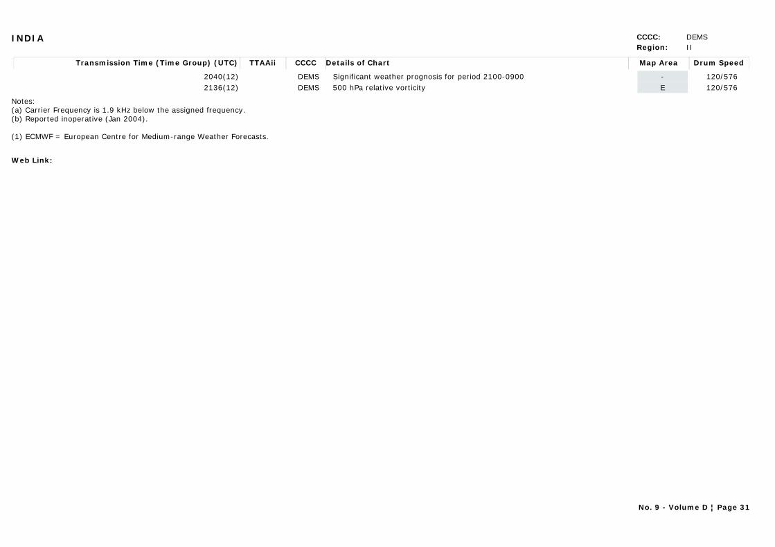
INDIA CCCC: DEMSRegion: II
Transmission Time (Time Group) (UTC) Map AreaDetails of Chart Drum SpeedTTAAii CCCC
2040(12) -Significant weather prognosis for period 2100-0900 120/576DEMS2136(12) E500 hPa relative vorticity 120/576DEMS
Notes:(a) Carrier Frequency is 1.9 kHz below the assigned frequency.(b) Reported inoperative (Jan 2004).
(1) ECMWF = European Centre for Medium-range Weather Forecasts.
Web Link:
No. 9 - Volume D ¦ Page 31
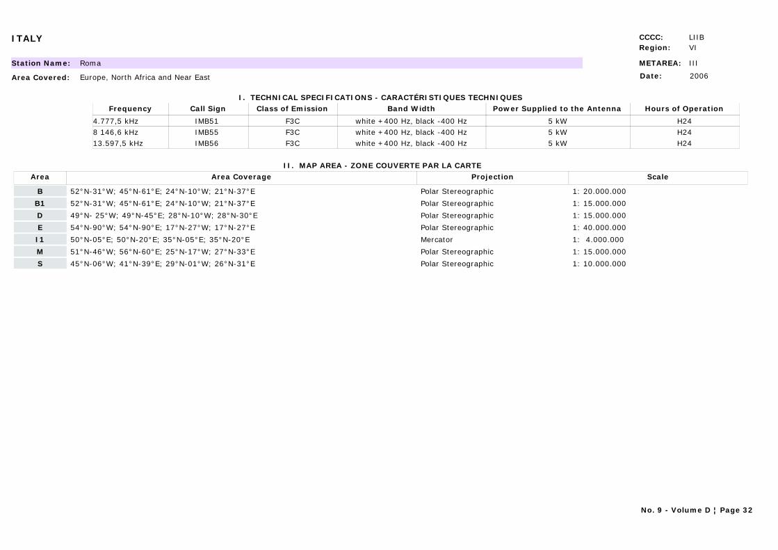
ITALY CCCC: LIIBRegion: VI
METAREA: IIIStation Name: Roma
Area Covered: Europe, North Africa and Near East
I. TECHNICAL SPECIFICATIONS - CARACTÉRISTIQUES TECHNIQUES
II. MAP AREA - ZONE COUVERTE PAR LA CARTE
Date: 2006
Call Sign Hours of OperationFrequency Class of Emission Band Width Power Supplied to the Antenna
IMB51 H244.777,5 kHz F3C white +400 Hz, black -400 Hz 5 kWIMB55 H248 146,6 kHz F3C white +400 Hz, black -400 Hz 5 kWIMB56 H2413.597,5 kHz F3C white +400 Hz, black -400 Hz 5 kW
Area Area Coverage ScaleProjection
B 52°N-31°W; 45°N-61°E; 24°N-10°W; 21°N-37°E Polar Stereographic 1: 20.000.000
B1 52°N-31°W; 45°N-61°E; 24°N-10°W; 21°N-37°E Polar Stereographic 1: 15.000.000
D 49°N- 25°W; 49°N-45°E; 28°N-10°W; 28°N-30°E Polar Stereographic 1: 15.000.000
E 54°N-90°W; 54°N-90°E; 17°N-27°W; 17°N-27°E Polar Stereographic 1: 40.000.000
I1 50°N-05°E; 50°N-20°E; 35°N-05°E; 35°N-20°E Mercator 1: 4.000.000
M 51°N-46°W; 56°N-60°E; 25°N-17°W; 27°N-33°E Polar Stereographic 1: 15.000.000
S 45°N-06°W; 41°N-39°E; 29°N-01°W; 26°N-31°E Polar Stereographic 1: 10.000.000
No. 9 - Volume D ¦ Page 32
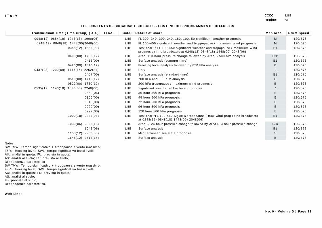
ITALY CCCC: LIIBRegion: VI
III. CONTENTS OF BROADCAST SHEDULES - CONTENU DES PROGRAMMES DE DIFFUSION
Transmission Time (Time Group) (UTC) Map AreaDetails of Chart Drum SpeedTTAAii CCCC
0048(12) 0654(18) 1248(18) 1900(06) MFL 390, 340, 300, 240, 180, 100, 50 significant weather prognosis 120/576LIIB0248(12) 0848(18) 1448(00)2048(06) MFL 100-450 significant weather and troppopause / maximum wind prognosis 120/576LIIB
0345(12) 1555(00) B1Test chart / FL 100-450 significant weather and tropopause / maximum wind prognosis (if no broadcasts at 0248(12) 0848(18) 1448(00) 2048(06)
120/576LIIB
0400(00) 1700(12) D/BArea D: 3 hour pressure change followed by Area B:500 hPa analysis 120/576LIIB0415(00) B1Surface analysis (summer time) 120/576LIIB
0425(00) 1810(12) BFreezing level analysis followed by 850 hPa analysis 120/576LIIB0437(03) 1200(09) 1745(15) 2252(21) I1Italy 120/576LIIB
0457(00) B1Surface analysis (standard time) 120/576LIIB0510(00) 1715(12) B700 hPa and 300 hPa analysis 120/576LIIB0522(00) 1730(12) B200 hPa tropopause / maximum wind prognosis 120/576LIIB
0535(12) 1140(18) 1630(00) 2240(06) I1Significant weather at low level prognosis 120/576LIIB0859(06) E36 hour 500 hPa prognosis 120/576LIIB0906(00) E48 hour 500 hPa prognosis 120/576LIIB0913(00) E72 hour 500 hPa prognosis 120/576LIIB0920(00) E96 hour 500 hPa prognosis 120/576LIIB0927(00) E120 hour 500 hPa prognosis 120/576LIIB
1000(18) 2335(06) B1Test chart/FL 100-450 Sigwx & tropopause / max wind prog (if no broadcasts at 0248(12) 0848(18) 1448(00) 2048(06)
120/576LIIB
1030(06) 2322(18) B/DArea B: 24 hour pressure change followed by Area D:3 hour pressure change 120/576LIIB1045(06) B1Surface analysis 120/576LIIB
1153(12) 2230(00) SMediterranean sea state prognosis 120/576LIIB1645(12) 2312(18) BSurface analysis 120/576LIIB
Notes:SW TMW: Tempo significativo + tropopausa e vento massimo;FZRL: freezing level; SWL: tempo significativo bassi livelli;AU: analisi in quota; FU: prevista in quota;AS: analisi al suolo; FS: prevista al suolo,DP: tendenza barometricaSW TMW: Tempo significativo + tropopausa e vento massimo;FZRL: freezing level; SWL: tempo significativo bassi livelli;AU: analisi in quota; FU: prevista in quota;AS: analisi al suolo; FS: prevista al suolo,DP: tendenza barometrica.
Web Link:
No. 9 - Volume D ¦ Page 33
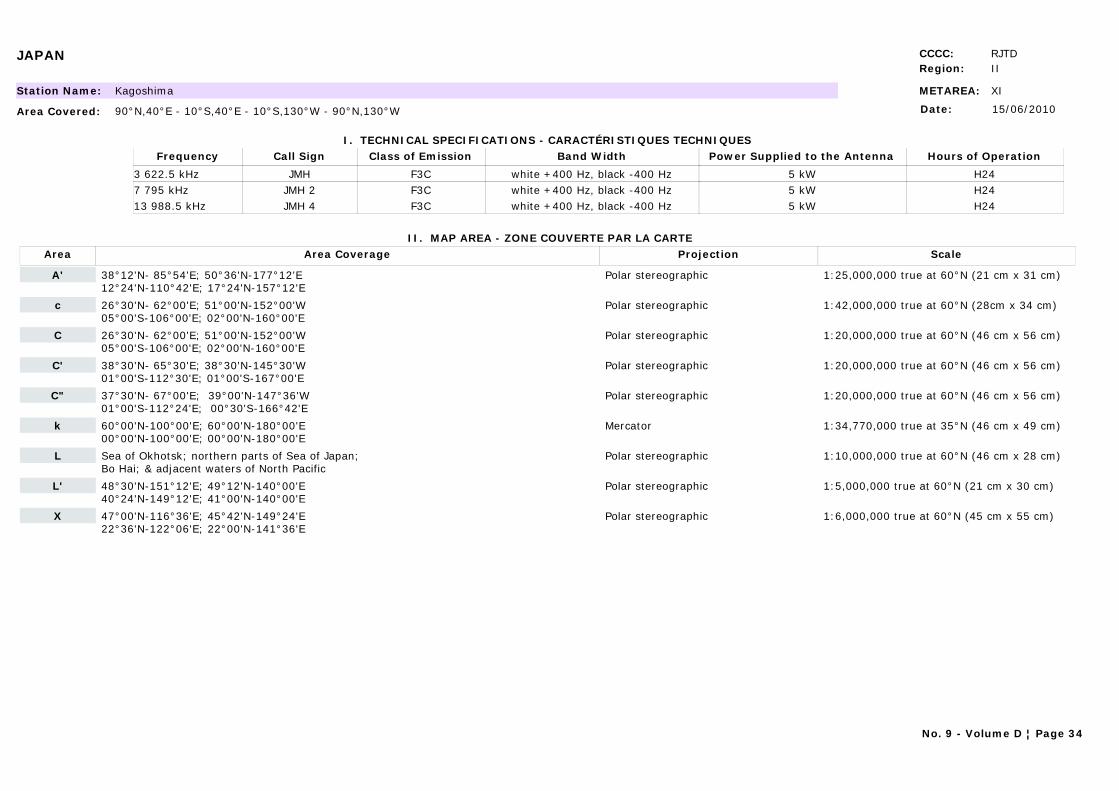
JAPAN CCCC: RJTDRegion: II
METAREA: XIStation Name: Kagoshima
Area Covered: 90°N,40°E - 10°S,40°E - 10°S,130°W - 90°N,130°W
I. TECHNICAL SPECIFICATIONS - CARACTÉRISTIQUES TECHNIQUES
II. MAP AREA - ZONE COUVERTE PAR LA CARTE
Date: 15/06/2010
Call Sign Hours of OperationFrequency Class of Emission Band Width Power Supplied to the Antenna
JMH H243 622.5 kHz F3C white +400 Hz, black -400 Hz 5 kWJMH 2 H247 795 kHz F3C white +400 Hz, black -400 Hz 5 kWJMH 4 H2413 988.5 kHz F3C white +400 Hz, black -400 Hz 5 kW
Area Area Coverage ScaleProjection
A' 38°12'N- 85°54'E; 50°36'N-177°12'E12°24'N-110°42'E; 17°24'N-157°12'E
Polar stereographic 1:25,000,000 true at 60°N (21 cm x 31 cm)
c 26°30'N- 62°00'E; 51°00'N-152°00'W 05°00'S-106°00'E; 02°00'N-160°00'E
Polar stereographic 1:42,000,000 true at 60°N (28cm x 34 cm)
C 26°30'N- 62°00'E; 51°00'N-152°00'W 05°00'S-106°00'E; 02°00'N-160°00'E
Polar stereographic 1:20,000,000 true at 60°N (46 cm x 56 cm)
C' 38°30'N- 65°30'E; 38°30'N-145°30'W 01°00'S-112°30'E; 01°00'S-167°00'E
Polar stereographic 1:20,000,000 true at 60°N (46 cm x 56 cm)
C" 37°30'N- 67°00'E; 39°00'N-147°36'W01°00'S-112°24'E; 00°30'S-166°42'E
Polar stereographic 1:20,000,000 true at 60°N (46 cm x 56 cm)
k 60°00'N-100°00'E; 60°00'N-180°00'E00°00'N-100°00'E; 00°00'N-180°00'E
Mercator 1:34,770,000 true at 35°N (46 cm x 49 cm)
L Sea of Okhotsk; northern parts of Sea of Japan; Bo Hai; & adjacent waters of North Pacific
Polar stereographic 1:10,000,000 true at 60°N (46 cm x 28 cm)
L' 48°30'N-151°12'E; 49°12'N-140°00'E 40°24'N-149°12'E; 41°00'N-140°00'E
Polar stereographic 1:5,000,000 true at 60°N (21 cm x 30 cm)
X 47°00'N-116°36'E; 45°42'N-149°24'E22°36'N-122°06'E; 22°00'N-141°36'E
Polar stereographic 1:6,000,000 true at 60°N (45 cm x 55 cm)
No. 9 - Volume D ¦ Page 34
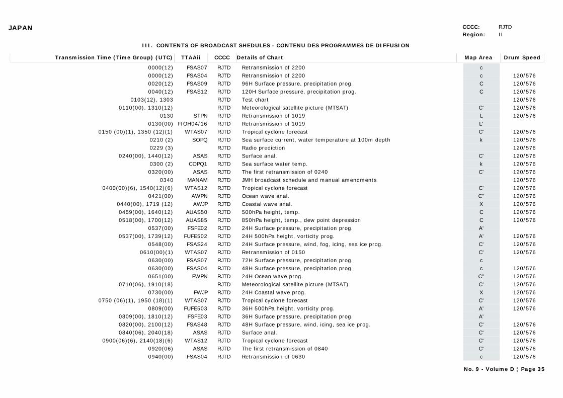
JAPAN CCCC: RJTDRegion: II
III. CONTENTS OF BROADCAST SHEDULES - CONTENU DES PROGRAMMES DE DIFFUSION
Transmission Time (Time Group) (UTC) Map AreaDetails of Chart Drum SpeedTTAAii CCCC
0000(12) cRetransmission of 2200FSAS07 RJTD0000(12) cRetransmission of 2200 120/576FSAS04 RJTD0020(12) C96H Surface pressure, precipitation prog. 120/576FSAS09 RJTD0040(12) C120H Surface pressure, precipitation prog. 120/576FSAS12 RJTD
0103(12), 1303 Test chart 120/576RJTD0110(00), 1310(12) C'Meteorological satellite picture (MTSAT) 120/576RJTD
0130 LRetransmission of 1019 120/576STPN RJTD0130(00) L'Retransmission of 1019FIOH04/16 RJTD
0150 (00)(1), 1350 (12)(1) C'Tropical cyclone forecast 120/576WTAS07 RJTD0210 (2) kSea surface current, water temperature at 100m depth 120/576SOPQ RJTD0229 (3) Radio prediction 120/576RJTD
0240(00), 1440(12) C'Surface anal. 120/576ASAS RJTD0300 (2) kSea surface water temp. 120/576COPQ1 RJTD0320(00) C'The first retransmission of 0240 120/576ASAS RJTD
0340 JMH broadcast schedule and manual amendments 120/576MANAM RJTD0400(00)(6), 1540(12)(6) C'Tropical cyclone forecast 120/576WTAS12 RJTD
0421(00) C"Ocean wave anal. 120/576AWPN RJTD0440(00), 1719 (12) XCoastal wave anal. 120/576AWJP RJTD0459(00), 1640(12) C500hPa height, temp. 120/576AUAS50 RJTD0518(00), 1700(12) C850hPa height, temp., dew point depression 120/576AUAS85 RJTD
0537(00) A'24H Surface pressure, precipitation prog.FSFE02 RJTD0537(00), 1739(12) A'24H 500hPa height, vorticity prog. 120/576FUFE502 RJTD
0548(00) C'24H Surface pressure, wind, fog, icing, sea ice prog. 120/576FSAS24 RJTD0610(00)(1) C'Retransmission of 0150 120/576WTAS07 RJTD
0630(00) c72H Surface pressure, precipitation prog. FSAS07 RJTD0630(00) c48H Surface pressure, precipitation prog. 120/576FSAS04 RJTD0651(00) C"24H Ocean wave prog. 120/576FWPN RJTD
0710(06), 1910(18) C'Meteorological satellite picture (MTSAT) 120/576RJTD0730(00) X24H Coastal wave prog. 120/576FWJP RJTD
0750 (06)(1), 1950 (18)(1) C'Tropical cyclone forecast 120/576WTAS07 RJTD0809(00) A'36H 500hPa height, vorticity prog. 120/576FUFE503 RJTD
0809(00), 1810(12) A'36H Surface pressure, precipitation prog.FSFE03 RJTD0820(00), 2100(12) C'48H Surface pressure, wind, icing, sea ice prog. 120/576FSAS48 RJTD0840(06), 2040(18) C'Surface anal. 120/576ASAS RJTD
0900(06)(6), 2140(18)(6) C'Tropical cyclone forecast 120/576WTAS12 RJTD0920(06) C'The first retransmission of 0840 120/576ASAS RJTD0940(00) cRetransmission of 0630 120/576FSAS04 RJTD
No. 9 - Volume D ¦ Page 35
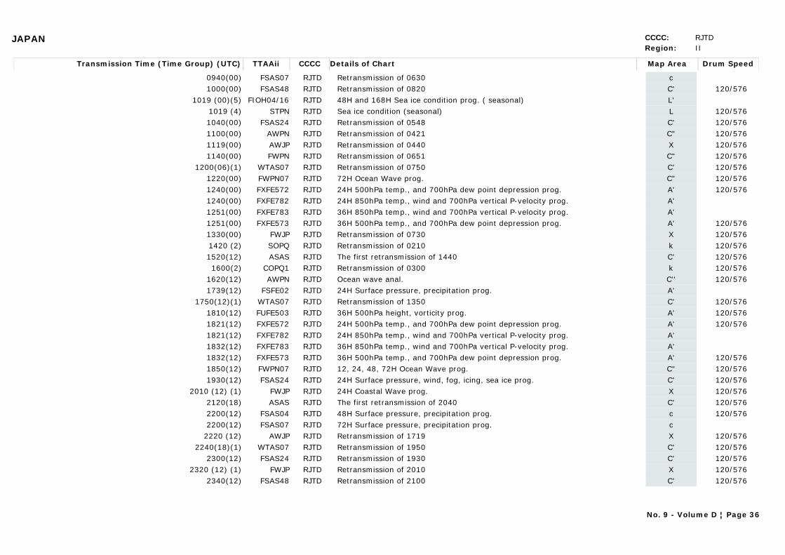
JAPAN CCCC: RJTDRegion: II
Transmission Time (Time Group) (UTC) Map AreaDetails of Chart Drum SpeedTTAAii CCCC
0940(00) cRetransmission of 0630 FSAS07 RJTD1000(00) C'Retransmission of 0820 120/576FSAS48 RJTD
1019 (00)(5) L'48H and 168H Sea ice condition prog. ( seasonal)FIOH04/16 RJTD1019 (4) LSea ice condition (seasonal) 120/576STPN RJTD1040(00) C'Retransmission of 0548 120/576FSAS24 RJTD1100(00) C"Retransmission of 0421 120/576AWPN RJTD1119(00) XRetransmission of 0440 120/576AWJP RJTD1140(00) C"Retransmission of 0651 120/576FWPN RJTD
1200(06)(1) C'Retransmission of 0750 120/576WTAS07 RJTD1220(00) C"72H Ocean Wave prog. 120/576FWPN07 RJTD1240(00) A'24H 500hPa temp., and 700hPa dew point depression prog. 120/576FXFE572 RJTD1240(00) A'24H 850hPa temp., wind and 700hPa vertical P-velocity prog. FXFE782 RJTD1251(00) A'36H 850hPa temp., wind and 700hPa vertical P-velocity prog. FXFE783 RJTD1251(00) A'36H 500hPa temp., and 700hPa dew point depression prog. 120/576FXFE573 RJTD1330(00) XRetransmission of 0730 120/576FWJP RJTD1420 (2) kRetransmission of 0210 120/576SOPQ RJTD1520(12) C'The first retransmission of 1440 120/576ASAS RJTD1600(2) kRetransmission of 0300 120/576COPQ1 RJTD
1620(12) C''Ocean wave anal. 120/576AWPN RJTD1739(12) A'24H Surface pressure, precipitation prog. FSFE02 RJTD
1750(12)(1) C'Retransmission of 1350 120/576WTAS07 RJTD1810(12) A'36H 500hPa height, vorticity prog. 120/576FUFE503 RJTD1821(12) A'24H 500hPa temp., and 700hPa dew point depression prog. 120/576FXFE572 RJTD1821(12) A'24H 850hPa temp., wind and 700hPa vertical P-velocity prog. FXFE782 RJTD1832(12) A'36H 850hPa temp., wind and 700hPa vertical P-velocity prog. FXFE783 RJTD1832(12) A'36H 500hPa temp., and 700hPa dew point depression prog. 120/576FXFE573 RJTD1850(12) C"12, 24, 48, 72H Ocean Wave prog. 120/576FWPN07 RJTD1930(12) C'24H Surface pressure, wind, fog, icing, sea ice prog. 120/576FSAS24 RJTD
2010 (12) (1) X24H Coastal Wave prog. 120/576FWJP RJTD2120(18) C'The first retransmission of 2040 120/576ASAS RJTD2200(12) c48H Surface pressure, precipitation prog. 120/576FSAS04 RJTD2200(12) c72H Surface pressure, precipitation prog. FSAS07 RJTD
2220 (12) XRetransmission of 1719 120/576AWJP RJTD2240(18)(1) C'Retransmission of 1950 120/576WTAS07 RJTD
2300(12) C'Retransmission of 1930 120/576FSAS24 RJTD2320 (12) (1) XRetransmission of 2010 120/576FWJP RJTD
2340(12) C'Retransmission of 2100 120/576FSAS48 RJTD
No. 9 - Volume D ¦ Page 36
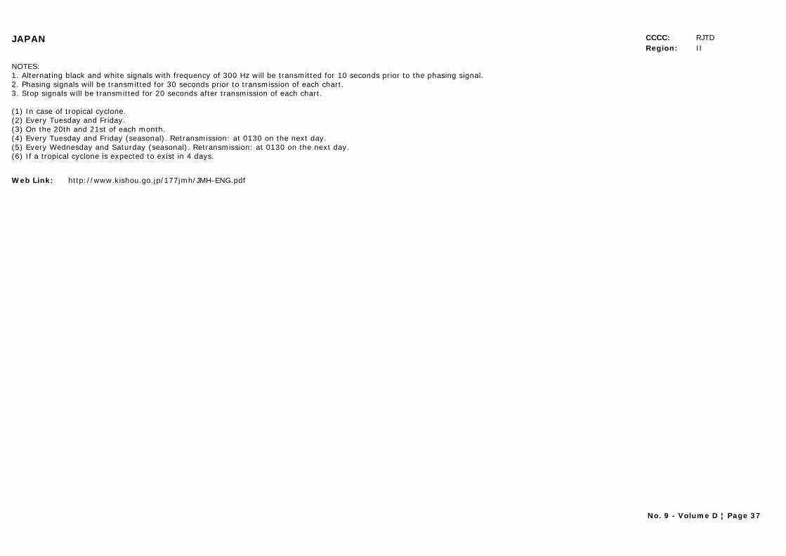
JAPAN CCCC: RJTDRegion: II
NOTES: 1. Alternating black and white signals with frequency of 300 Hz will be transmitted for 10 seconds prior to the phasing signal.2. Phasing signals will be transmitted for 30 seconds prior to transmission of each chart.3. Stop signals will be transmitted for 20 seconds after transmission of each chart.
(1) In case of tropical cyclone.(2) Every Tuesday and Friday.(3) On the 20th and 21st of each month.(4) Every Tuesday and Friday (seasonal). Retransmission: at 0130 on the next day.(5) Every Wednesday and Saturday (seasonal). Retransmission: at 0130 on the next day.(6) If a tropical cyclone is expected to exist in 4 days.
Web Link: http://www.kishou.go.jp/177jmh/JMH-ENG.pdf
No. 9 - Volume D ¦ Page 37
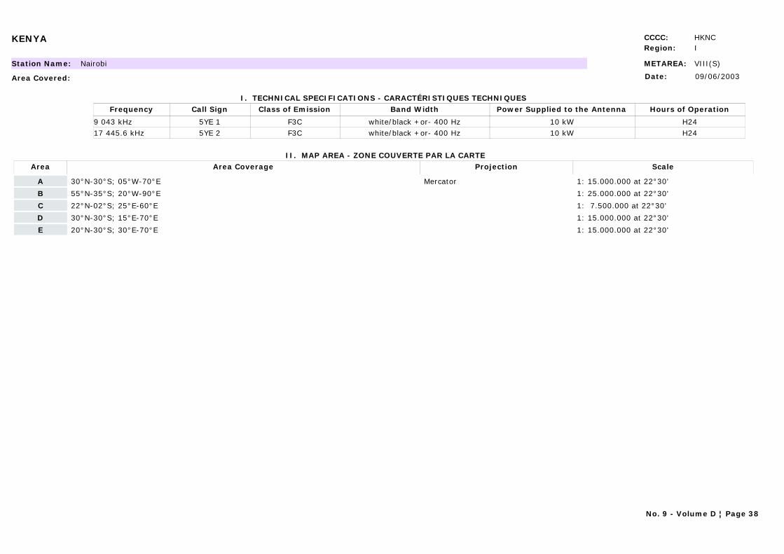
KENYA CCCC: HKNCRegion: I
METAREA: VIII(S)Station Name: Nairobi
Area Covered:
I. TECHNICAL SPECIFICATIONS - CARACTÉRISTIQUES TECHNIQUES
II. MAP AREA - ZONE COUVERTE PAR LA CARTE
Date: 09/06/2003
Call Sign Hours of OperationFrequency Class of Emission Band Width Power Supplied to the Antenna
5YE 1 H249 043 kHz F3C white/black +or- 400 Hz 10 kW5YE 2 H2417 445.6 kHz F3C white/black +or- 400 Hz 10 kW
Area Area Coverage ScaleProjection
A 30°N-30°S; 05°W-70°E Mercator 1: 15.000.000 at 22°30'
B 55°N-35°S; 20°W-90°E 1: 25.000.000 at 22°30'
C 22°N-02°S; 25°E-60°E 1: 7.500.000 at 22°30'
D 30°N-30°S; 15°E-70°E 1: 15.000.000 at 22°30'
E 20°N-30°S; 30°E-70°E 1: 15.000.000 at 22°30'
No. 9 - Volume D ¦ Page 38
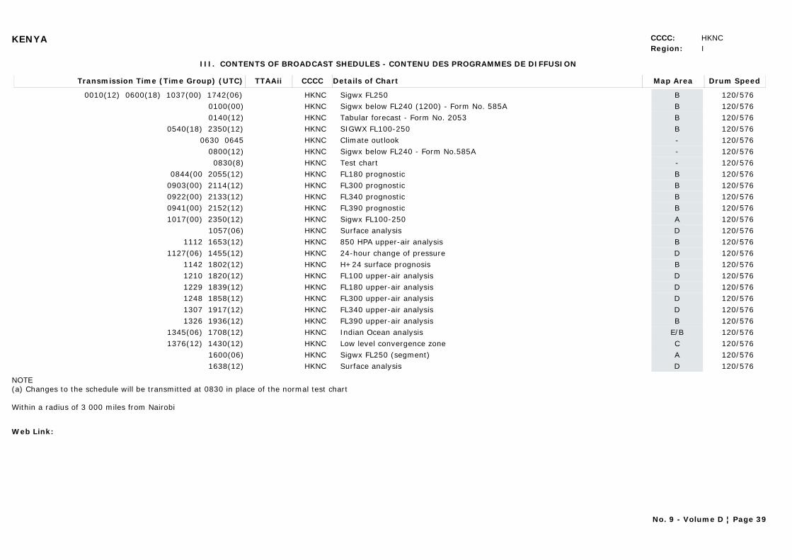
KENYA CCCC: HKNCRegion: I
III. CONTENTS OF BROADCAST SHEDULES - CONTENU DES PROGRAMMES DE DIFFUSION
Transmission Time (Time Group) (UTC) Map AreaDetails of Chart Drum SpeedTTAAii CCCC
0010(12) 0600(18) 1037(00) 1742(06) BSigwx FL250 120/576HKNC0100(00) BSigwx below FL240 (1200) - Form No. 585A 120/576HKNC0140(12) BTabular forecast - Form No. 2053 120/576HKNC
0540(18) 2350(12) BSIGWX FL100-250 120/576HKNC0630 0645 -Climate outlook 120/576HKNC
0800(12) -Sigwx below FL240 - Form No.585A 120/576HKNC0830(8) -Test chart 120/576HKNC
0844(00 2055(12) BFL180 prognostic 120/576HKNC0903(00) 2114(12) BFL300 prognostic 120/576HKNC0922(00) 2133(12) BFL340 prognostic 120/576HKNC0941(00) 2152(12) BFL390 prognostic 120/576HKNC1017(00) 2350(12) ASigwx FL100-250 120/576HKNC
1057(06) DSurface analysis 120/576HKNC1112 1653(12) B850 HPA upper-air analysis 120/576HKNC
1127(06) 1455(12) D24-hour change of pressure 120/576HKNC1142 1802(12) BH+24 surface prognosis 120/576HKNC1210 1820(12) DFL100 upper-air analysis 120/576HKNC1229 1839(12) DFL180 upper-air analysis 120/576HKNC1248 1858(12) DFL300 upper-air analysis 120/576HKNC1307 1917(12) DFL340 upper-air analysis 120/576HKNC1326 1936(12) BFL390 upper-air analysis 120/576HKNC
1345(06) 1708(12) E/BIndian Ocean analysis 120/576HKNC1376(12) 1430(12) CLow level convergence zone 120/576HKNC
1600(06) ASigwx FL250 (segment) 120/576HKNC1638(12) DSurface analysis 120/576HKNC
NOTE (a) Changes to the schedule will be transmitted at 0830 in place of the normal test chart
Within a radius of 3 000 miles from Nairobi
Web Link:
No. 9 - Volume D ¦ Page 39
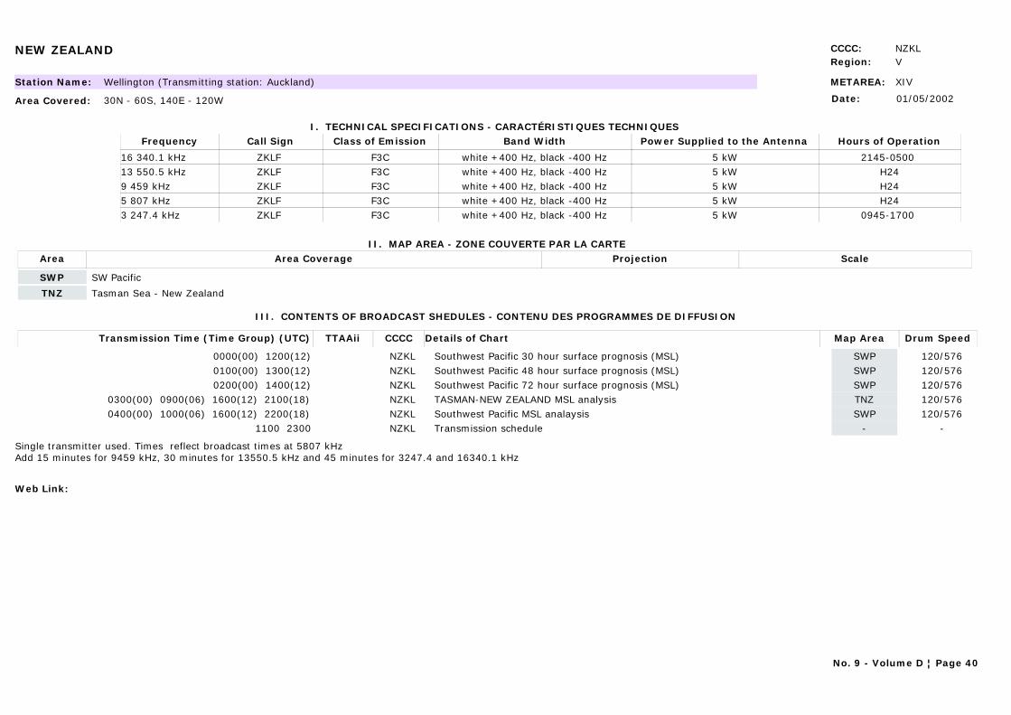
NEW ZEALAND CCCC: NZKLRegion: V
METAREA: XIVStation Name: Wellington (Transmitting station: Auckland)
Area Covered: 30N - 60S, 140E - 120W
I. TECHNICAL SPECIFICATIONS - CARACTÉRISTIQUES TECHNIQUES
II. MAP AREA - ZONE COUVERTE PAR LA CARTE
Date: 01/05/2002
Call Sign Hours of OperationFrequency Class of Emission Band Width Power Supplied to the Antenna
ZKLF 2145-0500 16 340.1 kHz F3C white +400 Hz, black -400 Hz 5 kWZKLF H2413 550.5 kHz F3C white +400 Hz, black -400 Hz 5 kWZKLF H249 459 kHz F3C white +400 Hz, black -400 Hz 5 kWZKLF H245 807 kHz F3C white +400 Hz, black -400 Hz 5 kWZKLF 0945-1700 3 247.4 kHz F3C white +400 Hz, black -400 Hz 5 kW
Area Area Coverage ScaleProjection
SWP SW Pacific
TNZ Tasman Sea - New Zealand
III. CONTENTS OF BROADCAST SHEDULES - CONTENU DES PROGRAMMES DE DIFFUSION
Transmission Time (Time Group) (UTC) Map AreaDetails of Chart Drum SpeedTTAAii CCCC
0000(00) 1200(12) SWPSouthwest Pacific 30 hour surface prognosis (MSL) 120/576NZKL0100(00) 1300(12) SWPSouthwest Pacific 48 hour surface prognosis (MSL) 120/576NZKL0200(00) 1400(12) SWPSouthwest Pacific 72 hour surface prognosis (MSL) 120/576NZKL
0300(00) 0900(06) 1600(12) 2100(18) TNZTASMAN-NEW ZEALAND MSL analysis 120/576NZKL0400(00) 1000(06) 1600(12) 2200(18) SWPSouthwest Pacific MSL analaysis 120/576NZKL
1100 2300 -Transmission schedule -NZKL
Single transmitter used. Times reflect broadcast times at 5807 kHzAdd 15 minutes for 9459 kHz, 30 minutes for 13550.5 kHz and 45 minutes for 3247.4 and 16340.1 kHz
Web Link:
No. 9 - Volume D ¦ Page 40
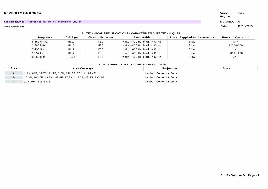
REPUBLIC OF KOREA CCCC: RKSLRegion: II
METAREA: XIStation Name: Meteorological Radio Transmission Station
Area Covered:
I. TECHNICAL SPECIFICATIONS - CARACTÉRISTIQUES TECHNIQUES
II. MAP AREA - ZONE COUVERTE PAR LA CARTE
Date: 12/10/2009
Call Sign Hours of OperationFrequency Class of Emission Band Width Power Supplied to the Antenna
HLL2 24H5 857.5 kHz F3C white +400 Hz, black -400 Hz 3 kWHLL2 1200-00003 585 kHz F3C white +400 Hz, black -400 Hz 3 kWHLL2 24H7 433.5 kHz F3C white +400 Hz, black -400 Hz 3 kWHLL2 0000-120013 570 kHz F3C white +400 Hz, black -400 Hz 3 kWHLL2 24H9 165 kHz F3C white +400 Hz, black -400 Hz 3 kW
Area Area Coverage ScaleProjection
A 1.1N, 84E; 39.7N, 41.9E; 6.5N, 156.8E; 55.1N, 199.4E Lambert Conformal Conic
B 16.3N, 100.7E; 49.5N, 82.6E; 17.8N, 145.5E; 52.4N, 160.4E Lambert Conformal Conic
C 20N-50N; 115-150E Lambert Conformal Conic
No. 9 - Volume D ¦ Page 41
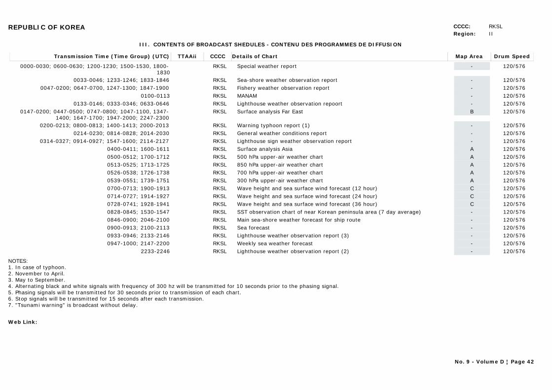
REPUBLIC OF KOREA CCCC: RKSLRegion: II
III. CONTENTS OF BROADCAST SHEDULES - CONTENU DES PROGRAMMES DE DIFFUSION
Transmission Time (Time Group) (UTC) Map AreaDetails of Chart Drum SpeedTTAAii CCCC
0000-0030; 0600-0630; 1200-1230; 1500-1530, 1800-1830
-Special weather report 120/576RKSL
0033-0046; 1233-1246; 1833-1846 -Sea-shore weather observation report 120/576RKSL0047-0200; 0647-0700, 1247-1300; 1847-1900 -Fishery weather observation report 120/576RKSL
0100-0113 -MANAM 120/576RKSL0133-0146; 0333-0346; 0633-0646 -Lighthouse weather observation repoort 120/576RKSL
0147-0200; 0447-0500; 0747-0800; 1047-1100, 1347-1400; 1647-1700; 1947-2000; 2247-2300
BSurface analysis Far East 120/576RKSL
0200-0213; 0800-0813; 1400-1413; 2000-2013 -Warning typhoon report (1) 120/576RKSL0214-0230; 0814-0828; 2014-2030 -General weather conditions report 120/576RKSL
0314-0327; 0914-0927; 1547-1600; 2114-2127 -Lighthouse sign weather observation report 120/576RKSL0400-0411; 1600-1611 ASurface analysis Asia 120/576RKSL0500-0512; 1700-1712 A500 hPa upper-air weather chart 120/576RKSL0513-0525; 1713-1725 A850 hPa upper-air weather chart 120/576RKSL0526-0538; 1726-1738 A700 hPa upper-air weather chart 120/576RKSL0539-0551; 1739-1751 A300 hPa upper-air weather chart 120/576RKSL0700-0713; 1900-1913 CWave height and sea surface wind forecast (12 hour) 120/576RKSL0714-0727; 1914-1927 CWave height and sea surface wind forecast (24 hour) 120/576RKSL0728-0741; 1928-1941 CWave height and sea surface wind forecast (36 hour) 120/576RKSL0828-0845; 1530-1547 -SST observation chart of near Korean peninsula area (7 day average) 120/576RKSL0846-0900; 2046-2100 -Main sea-shore weather forecast for ship route 120/576RKSL0900-0913; 2100-2113 -Sea forecast 120/576RKSL0933-0946; 2133-2146 -Lighthouse weather observation report (3) 120/576RKSL0947-1000; 2147-2200 -Weekly sea weather forecast 120/576RKSL
2233-2246 -Lighthouse weather observation report (2) 120/576RKSL
NOTES: 1. In case of typhoon.2. November to April.3. May to September.4. Alternating black and white signals with frequency of 300 hz will be transmitted for 10 seconds prior to the phasing signal.5. Phasing signals will be transmitted for 30 seconds prior to transmission of each chart.6. Stop signals will be transmitted for 15 seconds after each transmission.7. "Tsunami warning" is broadcast without delay.
Web Link:
No. 9 - Volume D ¦ Page 42
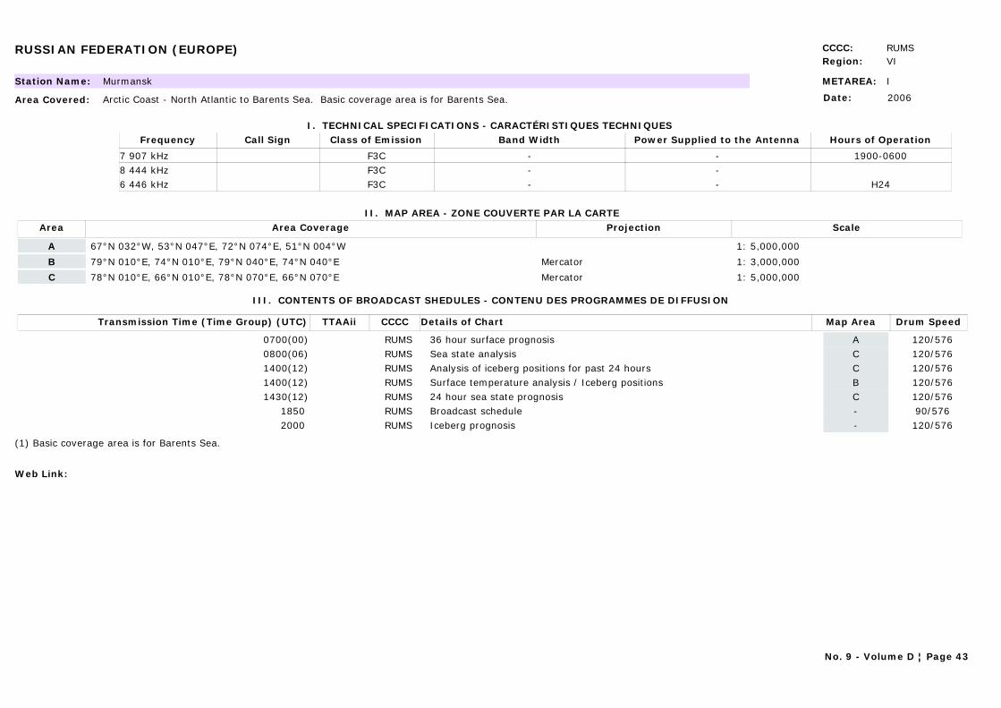
RUSSIAN FEDERATION (EUROPE) CCCC: RUMSRegion: VI
METAREA: IStation Name: Murmansk
Area Covered: Arctic Coast - North Atlantic to Barents Sea. Basic coverage area is for Barents Sea.
I. TECHNICAL SPECIFICATIONS - CARACTÉRISTIQUES TECHNIQUES
II. MAP AREA - ZONE COUVERTE PAR LA CARTE
Date: 2006
Call Sign Hours of OperationFrequency Class of Emission Band Width Power Supplied to the Antenna
1900-06007 907 kHz F3C - -8 444 kHz F3C - -
H246 446 kHz F3C - -
Area Area Coverage ScaleProjection
A 67°N 032°W, 53°N 047°E, 72°N 074°E, 51°N 004°W 1: 5,000,000
B 79°N 010°E, 74°N 010°E, 79°N 040°E, 74°N 040°E Mercator 1: 3,000,000
C 78°N 010°E, 66°N 010°E, 78°N 070°E, 66°N 070°E Mercator 1: 5,000,000
III. CONTENTS OF BROADCAST SHEDULES - CONTENU DES PROGRAMMES DE DIFFUSION
Transmission Time (Time Group) (UTC) Map AreaDetails of Chart Drum SpeedTTAAii CCCC
0700(00) A36 hour surface prognosis 120/576RUMS0800(06) CSea state analysis 120/576RUMS1400(12) CAnalysis of iceberg positions for past 24 hours 120/576RUMS1400(12) BSurface temperature analysis / Iceberg positions 120/576RUMS1430(12) C24 hour sea state prognosis 120/576RUMS
1850 -Broadcast schedule 90/576RUMS2000 -Iceberg prognosis 120/576RUMS
(1) Basic coverage area is for Barents Sea.
Web Link:
No. 9 - Volume D ¦ Page 43
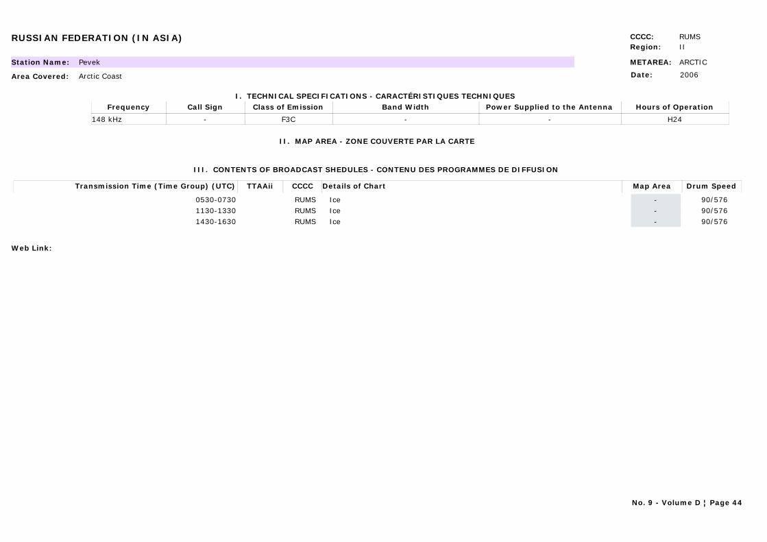
RUSSIAN FEDERATION (IN ASIA) CCCC: RUMSRegion: II
METAREA: ARCTICStation Name: Pevek
Area Covered: Arctic Coast
I. TECHNICAL SPECIFICATIONS - CARACTÉRISTIQUES TECHNIQUES
II. MAP AREA - ZONE COUVERTE PAR LA CARTE
Date: 2006
Call Sign Hours of OperationFrequency Class of Emission Band Width Power Supplied to the Antenna
- H24148 kHz F3C - -
III. CONTENTS OF BROADCAST SHEDULES - CONTENU DES PROGRAMMES DE DIFFUSION
Transmission Time (Time Group) (UTC) Map AreaDetails of Chart Drum SpeedTTAAii CCCC
0530-0730 -Ice 90/576RUMS1130-1330 -Ice 90/576RUMS1430-1630 -Ice 90/576RUMS
Web Link:
No. 9 - Volume D ¦ Page 44
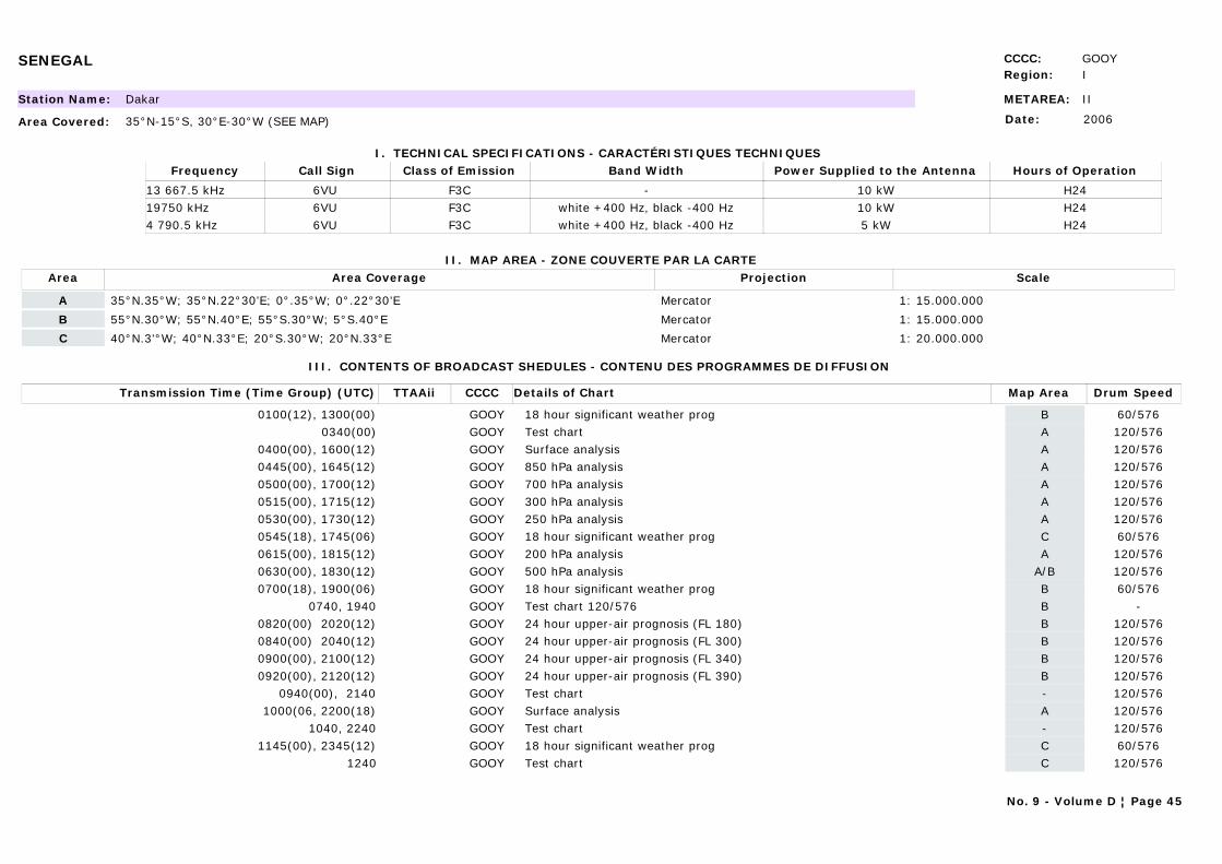
SENEGAL CCCC: GOOYRegion: I
METAREA: IIStation Name: Dakar
Area Covered: 35°N-15°S, 30°E-30°W (SEE MAP)
I. TECHNICAL SPECIFICATIONS - CARACTÉRISTIQUES TECHNIQUES
II. MAP AREA - ZONE COUVERTE PAR LA CARTE
Date: 2006
Call Sign Hours of OperationFrequency Class of Emission Band Width Power Supplied to the Antenna
6VU H2413 667.5 kHz F3C - 10 kW6VU H2419750 kHz F3C white +400 Hz, black -400 Hz 10 kW6VU H244 790.5 kHz F3C white +400 Hz, black -400 Hz 5 kW
Area Area Coverage ScaleProjection
A 35°N.35°W; 35°N.22°30’E; 0°.35°W; 0°.22°30’E Mercator 1: 15.000.000
B 55°N.30°W; 55°N.40°E; 55°S.30°W; 5°S.40°E Mercator 1: 15.000.000
C 40°N.3'°W; 40°N.33°E; 20°S.30°W; 20°N.33°E Mercator 1: 20.000.000
III. CONTENTS OF BROADCAST SHEDULES - CONTENU DES PROGRAMMES DE DIFFUSION
Transmission Time (Time Group) (UTC) Map AreaDetails of Chart Drum SpeedTTAAii CCCC
0100(12), 1300(00) B18 hour significant weather prog 60/576GOOY0340(00) ATest chart 120/576GOOY
0400(00), 1600(12) ASurface analysis 120/576GOOY0445(00), 1645(12) A850 hPa analysis 120/576GOOY0500(00), 1700(12) A700 hPa analysis 120/576GOOY0515(00), 1715(12) A300 hPa analysis 120/576GOOY0530(00), 1730(12) A250 hPa analysis 120/576GOOY0545(18), 1745(06) C18 hour significant weather prog 60/576GOOY0615(00), 1815(12) A200 hPa analysis 120/576GOOY0630(00), 1830(12) A/B500 hPa analysis 120/576GOOY0700(18), 1900(06) B18 hour significant weather prog 60/576GOOY
0740, 1940 BTest chart 120/576 -GOOY0820(00) 2020(12) B24 hour upper-air prognosis (FL 180) 120/576GOOY0840(00) 2040(12) B24 hour upper-air prognosis (FL 300) 120/576GOOY0900(00), 2100(12) B24 hour upper-air prognosis (FL 340) 120/576GOOY0920(00), 2120(12) B24 hour upper-air prognosis (FL 390) 120/576GOOY
0940(00), 2140 -Test chart 120/576GOOY1000(06, 2200(18) ASurface analysis 120/576GOOY
1040, 2240 -Test chart 120/576GOOY1145(00), 2345(12) C18 hour significant weather prog 60/576GOOY
1240 CTest chart 120/576GOOY
No. 9 - Volume D ¦ Page 45

SENEGAL CCCC: GOOYRegion: I
Web Link:
SOUTH AFRICA CCCC: FAPRRegion: I
METAREA: VIIStation Name: Cape Naval (NAVCOMCEN Cape)
Area Covered:
I. TECHNICAL SPECIFICATIONS - CARACTÉRISTIQUES TECHNIQUES
II. MAP AREA - ZONE COUVERTE PAR LA CARTE
Date: 01/04/2008
Call Sign Hours of OperationFrequency Class of Emission Band Width Power Supplied to the Antenna
ZSJ H2413 538 kHz F3C - 10 kWZSJ 0600-160018 238 kHz F3C - 10 kWZSJ 1600-06004 014 kHz F3C - 10 kWZSJ H247 508 kHz F3C - 10 kW
Area Area Coverage ScaleProjection
AIAA 30°E to 30°W; Antarctic coast to edge of Pack Ice Polar stereographic
ASZA 0°.20°W; 0°.70°E; 60°S.50°W; 60°S.90°E (Shipping chart) Lambert's Conical Orthomorphic
FSZA/FUZA 05°S.15°W; 05°S.60°E; 60°S.15°W; 60°S.60°E (forecast area for numerical model) Mercator
III. CONTENTS OF BROADCAST SHEDULES - CONTENU DES PROGRAMMES DE DIFFUSION
Transmission Time (Time Group) (UTC) Map AreaDetails of Chart Drum SpeedTTAAii CCCC
0430 -Schedule 120/576FAPR0500(00) 1530(12) ASZASurface analysis (shipping) 120/576FAPR
0630(12) FUZAUpper-air prognosis (previous day's run) 120/576FAPR0730(12) FSZASurface prognosis (previous day's run) 120/576FAPR
0800 AIAAAntarctic ice limits. Information updated every two weeks from the National Icenter Centre (US) (1).
120/576FAPR
0930 1700 -RTTY (Radio-telex) forecast for the coastal waters and synopsis forecasts for the high seas.
-FAPR
1030(06) 2230(18) ASZASurface analysis (shipping) 120/576FAPR1100(00) FSZASurface prognosis 120/576FAPR
Note: Due to operational requirements, broadcasts may be adjusted without notification.
(1) Only broadcast between October and March.
Web Link: http://www.weathersa.co.za/Marine/FrequencyShipFCBroadcast.jsp
No. 9 - Volume D ¦ Page 46
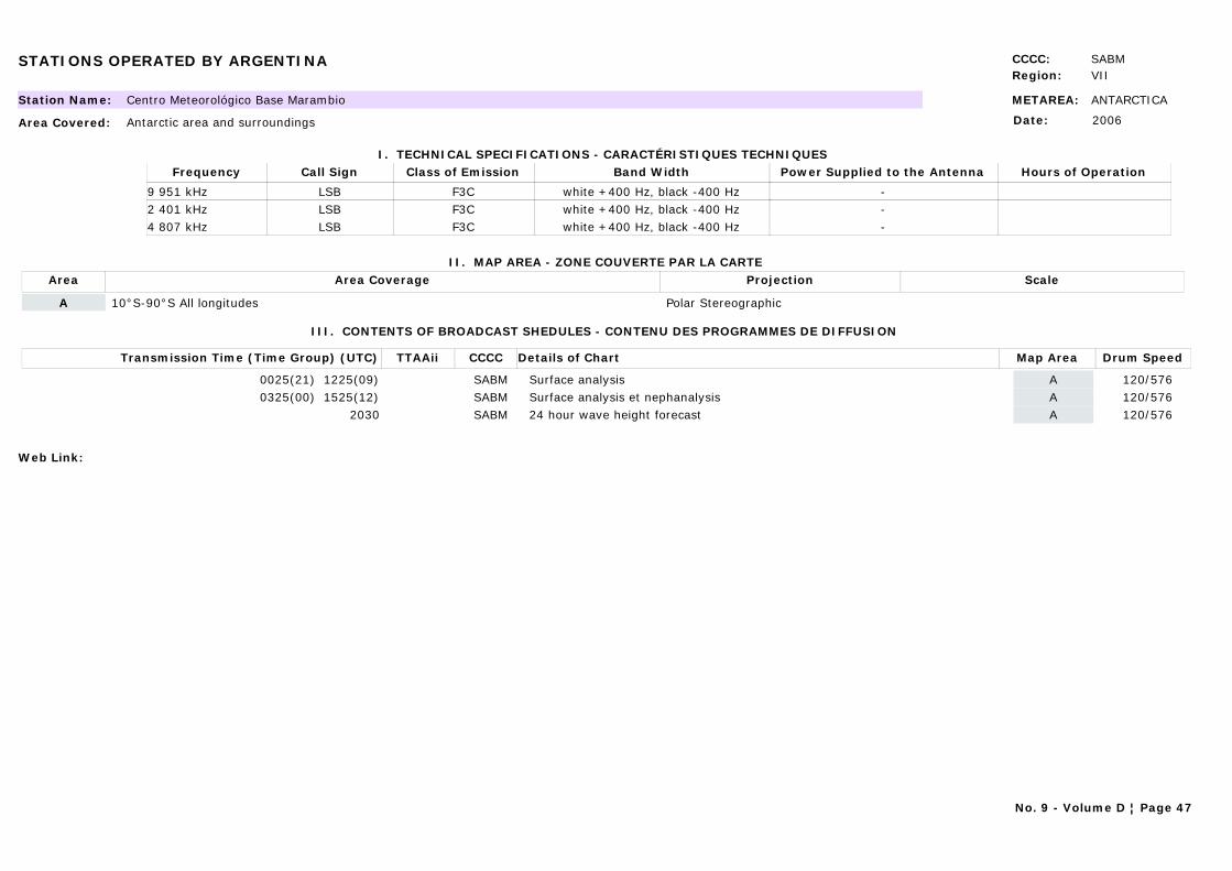
STATIONS OPERATED BY ARGENTINA CCCC: SABMRegion: VII
METAREA: ANTARCTICAStation Name: Centro Meteorológico Base Marambio
Area Covered: Antarctic area and surroundings
I. TECHNICAL SPECIFICATIONS - CARACTÉRISTIQUES TECHNIQUES
II. MAP AREA - ZONE COUVERTE PAR LA CARTE
Date: 2006
Call Sign Hours of OperationFrequency Class of Emission Band Width Power Supplied to the Antenna
LSB9 951 kHz F3C white +400 Hz, black -400 Hz -LSB2 401 kHz F3C white +400 Hz, black -400 Hz -LSB4 807 kHz F3C white +400 Hz, black -400 Hz -
Area Area Coverage ScaleProjection
A 10°S-90°S All longitudes Polar Stereographic
III. CONTENTS OF BROADCAST SHEDULES - CONTENU DES PROGRAMMES DE DIFFUSION
Transmission Time (Time Group) (UTC) Map AreaDetails of Chart Drum SpeedTTAAii CCCC
0025(21) 1225(09) ASurface analysis 120/576SABM0325(00) 1525(12) ASurface analysis et nephanalysis 120/576SABM
2030 A24 hour wave height forecast 120/576SABM
Web Link:
No. 9 - Volume D ¦ Page 47
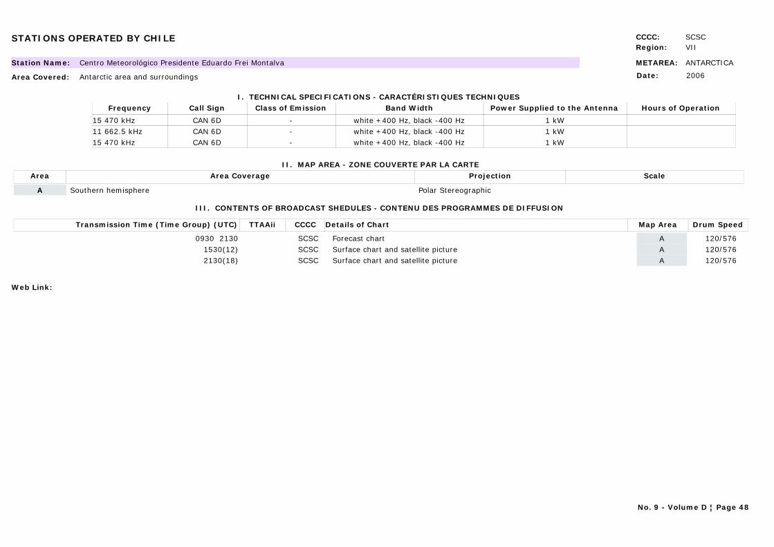
STATIONS OPERATED BY CHILE CCCC: SCSCRegion: VII
METAREA: ANTARCTICAStation Name: Centro Meteorológico Presidente Eduardo Frei Montalva
Area Covered: Antarctic area and surroundings
I. TECHNICAL SPECIFICATIONS - CARACTÉRISTIQUES TECHNIQUES
II. MAP AREA - ZONE COUVERTE PAR LA CARTE
Date: 2006
Call Sign Hours of OperationFrequency Class of Emission Band Width Power Supplied to the Antenna
CAN 6D15 470 kHz - white +400 Hz, black -400 Hz 1 kWCAN 6D11 662.5 kHz - white +400 Hz, black -400 Hz 1 kWCAN 6D15 470 kHz - white +400 Hz, black -400 Hz 1 kW
Area Area Coverage ScaleProjection
A Southern hemisphere Polar Stereographic
III. CONTENTS OF BROADCAST SHEDULES - CONTENU DES PROGRAMMES DE DIFFUSION
Transmission Time (Time Group) (UTC) Map AreaDetails of Chart Drum SpeedTTAAii CCCC
0930 2130 AForecast chart 120/576SCSC1530(12) ASurface chart and satellite picture 120/576SCSC2130(18) ASurface chart and satellite picture 120/576SCSC
Web Link:
No. 9 - Volume D ¦ Page 48
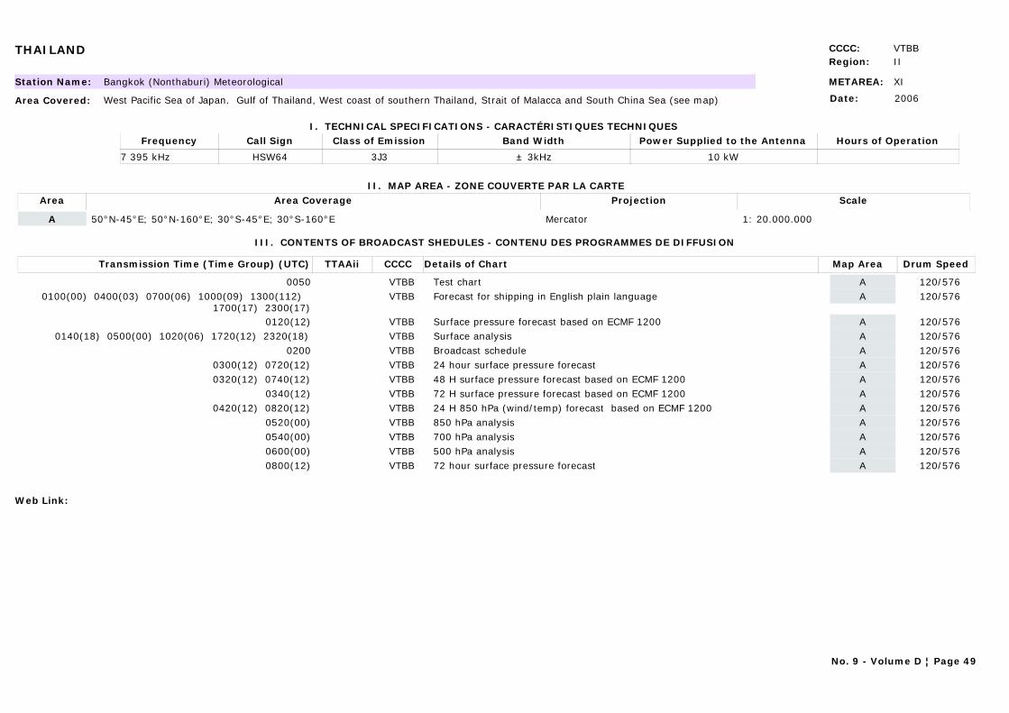
THAILAND CCCC: VTBBRegion: II
METAREA: XIStation Name: Bangkok (Nonthaburi) Meteorological
Area Covered: West Pacific Sea of Japan. Gulf of Thailand, West coast of southern Thailand, Strait of Malacca and South China Sea (see map)
I. TECHNICAL SPECIFICATIONS - CARACTÉRISTIQUES TECHNIQUES
II. MAP AREA - ZONE COUVERTE PAR LA CARTE
Date: 2006
Call Sign Hours of OperationFrequency Class of Emission Band Width Power Supplied to the Antenna
HSW647 395 kHz 3J3 ± 3kHz 10 kW
Area Area Coverage ScaleProjection
A 50°N-45°E; 50°N-160°E; 30°S-45°E; 30°S-160°E Mercator 1: 20.000.000
III. CONTENTS OF BROADCAST SHEDULES - CONTENU DES PROGRAMMES DE DIFFUSION
Transmission Time (Time Group) (UTC) Map AreaDetails of Chart Drum SpeedTTAAii CCCC
0050 ATest chart 120/576VTBB0100(00) 0400(03) 0700(06) 1000(09) 1300(112)
1700(17) 2300(17)AForecast for shipping in English plain language 120/576VTBB
0120(12) ASurface pressure forecast based on ECMF 1200 120/576VTBB0140(18) 0500(00) 1020(06) 1720(12) 2320(18) ASurface analysis 120/576VTBB
0200 ABroadcast schedule 120/576VTBB0300(12) 0720(12) A24 hour surface pressure forecast 120/576VTBB0320(12) 0740(12) A48 H surface pressure forecast based on ECMF 1200 120/576VTBB
0340(12) A72 H surface pressure forecast based on ECMF 1200 120/576VTBB0420(12) 0820(12) A24 H 850 hPa (wind/temp) forecast based on ECMF 1200 120/576VTBB
0520(00) A850 hPa analysis 120/576VTBB0540(00) A700 hPa analysis 120/576VTBB0600(00) A500 hPa analysis 120/576VTBB0800(12) A72 hour surface pressure forecast 120/576VTBB
Web Link:
No. 9 - Volume D ¦ Page 49
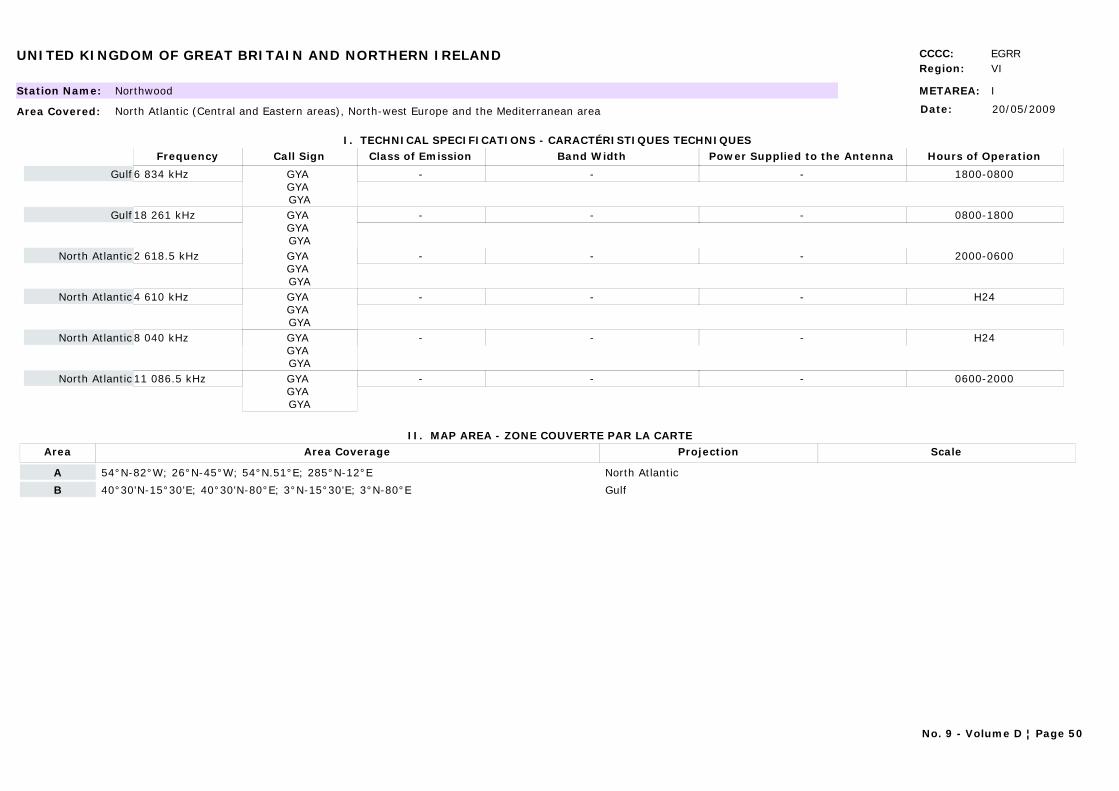
UNITED KINGDOM OF GREAT BRITAIN AND NORTHERN IRELAND CCCC: EGRRRegion: VI
METAREA: IStation Name: Northwood
Area Covered: North Atlantic (Central and Eastern areas), North-west Europe and the Mediterranean area
I. TECHNICAL SPECIFICATIONS - CARACTÉRISTIQUES TECHNIQUES
II. MAP AREA - ZONE COUVERTE PAR LA CARTE
Date: 20/05/2009
Call Sign Hours of OperationFrequency Class of Emission Band Width Power Supplied to the Antenna
GYA GYA GYA
1800-08006 834 kHz - - -Gulf
GYA GYA GYA
0800-180018 261 kHz - - -Gulf
GYA GYA GYA
2000-06002 618.5 kHz - - -North Atlantic
GYA GYA GYA
H244 610 kHz - - -North Atlantic
GYA GYA GYA
H248 040 kHz - - -North Atlantic
GYA GYA GYA
0600-200011 086.5 kHz - - -North Atlantic
Area Area Coverage ScaleProjection
A 54°N-82°W; 26°N-45°W; 54°N.51°E; 285°N-12°E North Atlantic
B 40°30'N-15°30'E; 40°30'N-80°E; 3°N-15°30'E; 3°N-80°E Gulf
No. 9 - Volume D ¦ Page 50
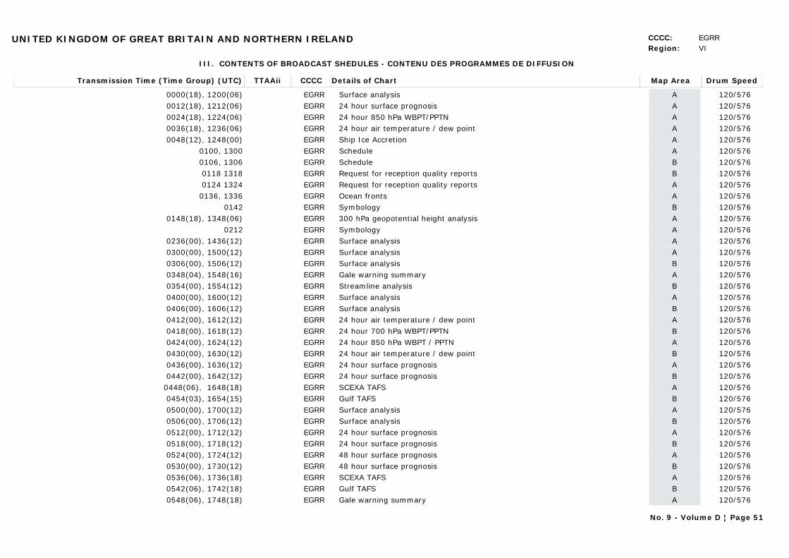
UNITED KINGDOM OF GREAT BRITAIN AND NORTHERN IRELAND CCCC: EGRRRegion: VI
III. CONTENTS OF BROADCAST SHEDULES - CONTENU DES PROGRAMMES DE DIFFUSION
Transmission Time (Time Group) (UTC) Map AreaDetails of Chart Drum SpeedTTAAii CCCC
0000(18), 1200(06) ASurface analysis 120/576EGRR0012(18), 1212(06) A24 hour surface prognosis 120/576EGRR0024(18), 1224(06) A24 hour 850 hPa WBPT/PPTN 120/576EGRR0036(18), 1236(06) A24 hour air temperature / dew point 120/576EGRR0048(12), 1248(00) AShip Ice Accretion 120/576EGRR
0100, 1300 ASchedule 120/576EGRR0106, 1306 BSchedule 120/576EGRR0118 1318 BRequest for reception quality reports 120/576EGRR0124 1324 ARequest for reception quality reports 120/576EGRR
0136, 1336 AOcean fronts 120/576EGRR0142 BSymbology 120/576EGRR
0148(18), 1348(06) A300 hPa geopotential height analysis 120/576EGRR0212 ASymbology 120/576EGRR
0236(00), 1436(12) ASurface analysis 120/576EGRR0300(00), 1500(12) ASurface analysis 120/576EGRR0306(00), 1506(12) BSurface analysis 120/576EGRR0348(04), 1548(16) AGale warning summary 120/576EGRR0354(00), 1554(12) BStreamline analysis 120/576EGRR0400(00), 1600(12) ASurface analysis 120/576EGRR0406(00), 1606(12) BSurface analysis 120/576EGRR0412(00), 1612(12) A24 hour air temperature / dew point 120/576EGRR0418(00), 1618(12) B24 hour 700 hPa WBPT/PPTN 120/576EGRR0424(00), 1624(12) A24 hour 850 hPa WBPT / PPTN 120/576EGRR0430(00), 1630(12) B24 hour air temperature / dew point 120/576EGRR0436(00), 1636(12) A24 hour surface prognosis 120/576EGRR0442(00), 1642(12) B24 hour surface prognosis 120/576EGRR
0448(06), 1648(18) ASCEXA TAFS 120/576EGRR0454(03), 1654(15) BGulf TAFS 120/576EGRR0500(00), 1700(12) ASurface analysis 120/576EGRR0506(00), 1706(12) BSurface analysis 120/576EGRR0512(00), 1712(12) A24 hour surface prognosis 120/576EGRR0518(00), 1718(12) B24 hour surface prognosis 120/576EGRR0524(00), 1724(12) A48 hour surface prognosis 120/576EGRR0530(00), 1730(12) B48 hour surface prognosis 120/576EGRR0536(06), 1736(18) ASCEXA TAFS 120/576EGRR0542(06), 1742(18) BGulf TAFS 120/576EGRR0548(06), 1748(18) AGale warning summary 120/576EGRR
No. 9 - Volume D ¦ Page 51
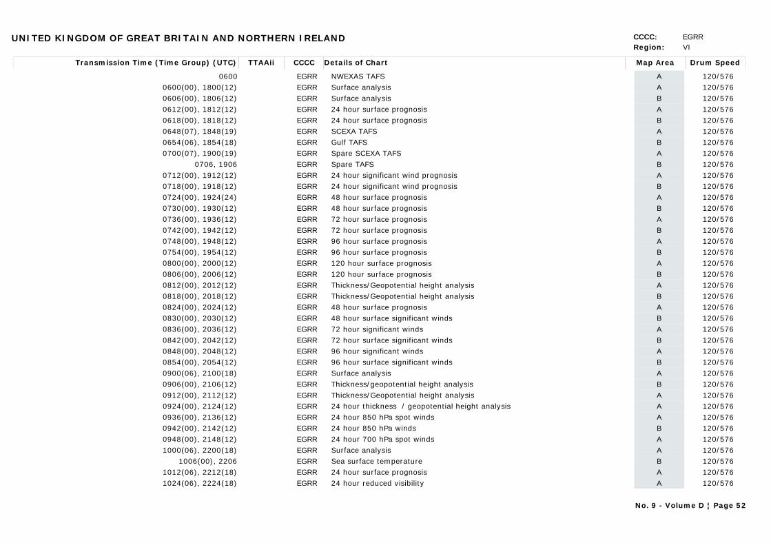
UNITED KINGDOM OF GREAT BRITAIN AND NORTHERN IRELAND CCCC: EGRRRegion: VI
Transmission Time (Time Group) (UTC) Map AreaDetails of Chart Drum SpeedTTAAii CCCC
0600 ANWEXAS TAFS 120/576EGRR0600(00), 1800(12) ASurface analysis 120/576EGRR0606(00), 1806(12) BSurface analysis 120/576EGRR0612(00), 1812(12) A24 hour surface prognosis 120/576EGRR0618(00), 1818(12) B24 hour surface prognosis 120/576EGRR0648(07), 1848(19) ASCEXA TAFS 120/576EGRR0654(06), 1854(18) BGulf TAFS 120/576EGRR0700(07), 1900(19) ASpare SCEXA TAFS 120/576EGRR
0706, 1906 BSpare TAFS 120/576EGRR0712(00), 1912(12) A24 hour significant wind prognosis 120/576EGRR0718(00), 1918(12) B24 hour significant wind prognosis 120/576EGRR0724(00), 1924(24) A48 hour surface prognosis 120/576EGRR0730(00), 1930(12) B48 hour surface prognosis 120/576EGRR0736(00), 1936(12) A72 hour surface prognosis 120/576EGRR0742(00), 1942(12) B72 hour surface prognosis 120/576EGRR0748(00), 1948(12) A96 hour surface prognosis 120/576EGRR0754(00), 1954(12) B96 hour surface prognosis 120/576EGRR0800(00), 2000(12) A120 hour surface prognosis 120/576EGRR0806(00), 2006(12) B120 hour surface prognosis 120/576EGRR0812(00), 2012(12) AThickness/Geopotential height analysis 120/576EGRR0818(00), 2018(12) BThickness/Geopotential height analysis 120/576EGRR0824(00), 2024(12) A48 hour surface prognosis 120/576EGRR0830(00), 2030(12) B48 hour surface significant winds 120/576EGRR0836(00), 2036(12) A72 hour significant winds 120/576EGRR0842(00), 2042(12) B72 hour surface significant winds 120/576EGRR0848(00), 2048(12) A96 hour significant winds 120/576EGRR0854(00), 2054(12) B96 hour surface significant winds 120/576EGRR0900(06), 2100(18) ASurface analysis 120/576EGRR0906(00), 2106(12) BThickness/geopotential height analysis 120/576EGRR0912(00), 2112(12) AThickness/Geopotential height analysis 120/576EGRR0924(00), 2124(12) A24 hour thickness / geopotential height analysis 120/576EGRR0936(00), 2136(12) A24 hour 850 hPa spot winds 120/576EGRR0942(00), 2142(12) B24 hour 850 hPa winds 120/576EGRR0948(00), 2148(12) A24 hour 700 hPa spot winds 120/576EGRR1000(06), 2200(18) ASurface analysis 120/576EGRR
1006(00), 2206 BSea surface temperature 120/576EGRR1012(06), 2212(18) A24 hour surface prognosis 120/576EGRR1024(06), 2224(18) A24 hour reduced visibility 120/576EGRR
No. 9 - Volume D ¦ Page 52

UNITED KINGDOM OF GREAT BRITAIN AND NORTHERN IRELAND CCCC: EGRRRegion: VI
Transmission Time (Time Group) (UTC) Map AreaDetails of Chart Drum SpeedTTAAii CCCC
1036(06), 2236(18) A24 hour 850 hPa wet bulb potential temperature/precipitation 120/576EGRR1042(00), 2242(18) B24 hour 700 hPa WBPT/PPT 120/576EGRR1048(06), 2248(18) A24 hour air temperature / dew point 120/576EGRR1054(06), 2254(18) B24 hour air temperature / dew point 120/576EGRR1100(06), 2300(18) ASurface analysis 120/576EGRR1112(06), 2312(18) A24 hour surface prognosis 120/576EGRR1124(06), 2324(18) A24 hour sea and swell 120/576EGRR1130(06), 2330(18) B24 hour sea and swell prognosis 120/576EGRR1136(00), 2336(12) A24 hour thickness / geopotential height analysis 120/576EGRR1148(00), 2348(12) AGale warning summary 120/576EGRR
1400(00) A12 hour sea surface temperature 120/576EGRR1824 ANWEXAS TAFS 120/576EGRR
Abbreviations used:WBPT - Wet bulb potential temperaturePPTN - Precipitation
Notes:1. Normally three frequencies are in operation at any time. Users should note that transmission of the carrier is turned off between each transmission.2. Other products to meet the requirements of the Royal Navy, are included in the broadcast, but not listed above.3. The broadcast from Northwood is maintained to meet the requirements of the Royal Navy. Consequently the broadcast is subject to change or withdrawal without notice
Web Link:
No. 9 - Volume D ¦ Page 53
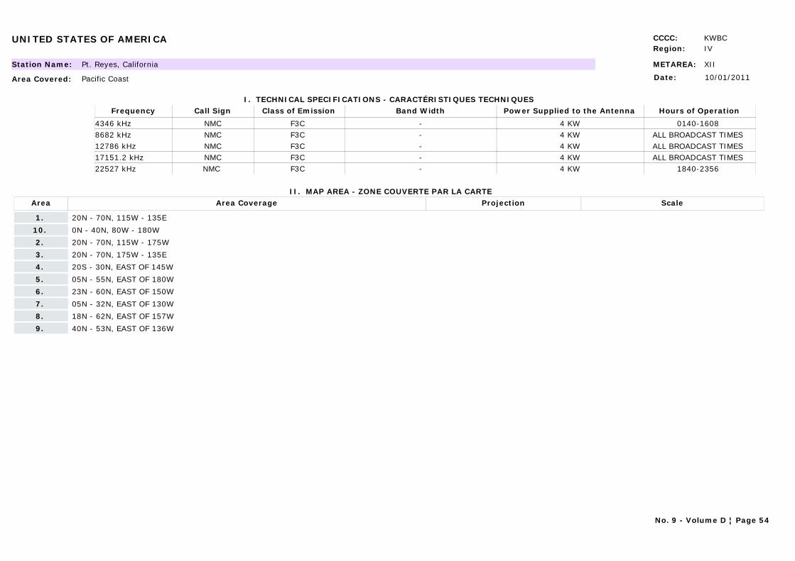
UNITED STATES OF AMERICA CCCC: KWBCRegion: IV
METAREA: XIIStation Name: Pt. Reyes, California
Area Covered: Pacific Coast
I. TECHNICAL SPECIFICATIONS - CARACTÉRISTIQUES TECHNIQUES
II. MAP AREA - ZONE COUVERTE PAR LA CARTE
Date: 10/01/2011
Call Sign Hours of OperationFrequency Class of Emission Band Width Power Supplied to the Antenna
NMC 0140-1608 4346 kHz F3C - 4 KWNMC ALL BROADCAST TIMES 8682 kHz F3C - 4 KWNMC ALL BROADCAST TIMES 12786 kHz F3C - 4 KWNMC ALL BROADCAST TIMES 17151.2 kHz F3C - 4 KWNMC 1840-2356 22527 kHz F3C - 4 KW
Area Area Coverage ScaleProjection
1. 20N - 70N, 115W - 135E
10. 0N - 40N, 80W - 180W
2. 20N - 70N, 115W - 175W
3. 20N - 70N, 175W - 135E
4. 20S - 30N, EAST OF 145W
5. 05N - 55N, EAST OF 180W
6. 23N - 60N, EAST OF 150W
7. 05N - 32N, EAST OF 130W
8. 18N - 62N, EAST OF 157W
9. 40N - 53N, EAST OF 136W
No. 9 - Volume D ¦ Page 54
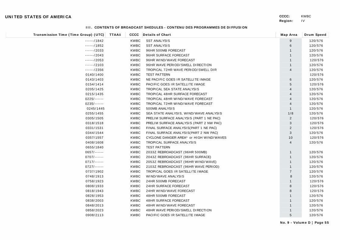
UNITED STATES OF AMERICA CCCC: KWBCRegion: IV
III. CONTENTS OF BROADCAST SHEDULES - CONTENU DES PROGRAMMES DE DIFFUSION
Transmission Time (Time Group) (UTC) Map AreaDetails of Chart Drum SpeedTTAAii CCCC
------/1842 9SST ANALYSIS 120/576 KWBC------/1852 6SST ANALYSIS 120/576 KWBC------/2033 196HR 500MB FORECAST 120/576 KWBC------/2043 196HR SURFACE FORECAST 120/576 KWBC------/2053 196HR WIND/WAVE FORECAST 120/576KWBC------/2103 196HR WAVE PERIOD/SWELL DIRECTION 120/576 KWBC------/2356 4TROPICAL 72HR WAVE PERIOD/SWELL DIR 120/576 KWBC0140/1400 TEST PATTERN 120/576KWBC0143/1403 6NE PACIFIC GOES IR SATELLITE IMAGE 120/576 KWBC0154/1414 5PACIFIC GOES IR SATELLITE IMAGE 120/576KWBC0205/1425 4TROPICAL SEA STATE ANALYSIS 120/576 KWBC0215/1435 4TROPICAL 48HR SURFACE FORECAST 120/576 KWBC0225/------ 4TROPICAL 48HR WIND/WAVE FORECAST 120/576 KWBC0235/------ 4TROPICAL 72HR WIND/WAVE FORECAST 120/576 KWBC0245/1445 1500MB ANALYSIS 120/576 KWBC
0255/1455 1/8SEA STATE ANALYSIS, WIND/WAVE ANALYSIS 120/576 KWBC0305/1505 2PRELIM SURFACE ANALYSIS (PART 1 NE PAC) 120/576KWBC0318/1518 3PRELIM SURFACE ANALYSIS (PART 2 NW PAC) 120/576KWBC0331/1531 2FINAL SURFACE ANALYSIS(PART 1 NE PAC) 120/576KWBC0344/1544 3FINAL SURFACE ANALYSIS(PART 2 NW PAC) 120/576 KWBC0357/1557 10CYCLONE DANGER AREA* or HIGH WIND/WAVES 120/576KWBC0408/1608 4TROPICAL SURFACE ANALYSIS 120/576 KWBC0655/1840 TEST PATTERNKWBC0657/------ 12033Z REBROADCAST (96HR 500MB) 120/576 KWBC0707/------ 12043Z REBROADCAST (96HR SURFACE) 120/576 KWBC0717/------ 12053Z REBROADCAST (96HR WIND/WAVE) 120/576 KWBC0727/------ 12103Z REBROADCAST (96HR WAVE PERIOD) 120/576 KWBC0737/1902 7TROPICAL GOES IR SATELLITE IMAGE 120/576 KWBC0748/1913 8WIND/WAVE ANALYSIS 120/576 KWBC0758/1923 124HR 500MB FORECAST 120/576KWBC0808/1933 824HR SURFACE FORECAST 120/576KWBC0818/1943 824HR WIND/WAVE FORECAST 120/576KWBC0828/1953 148HR 500MB FORECAST 120/576 KWBC0838/2003 148HR SURFACE FORECAST 120/576 KWBC0848/2013 148HR WIND/WAVE FORECAST 120/576 KWBC0858/2023 148HR WAVE PERIOD/SWELL DIRECTION 120/576 KWBC0908/2113 5PACIFIC GOES IR SATELLITE IMAGE 120/576 KWBC
No. 9 - Volume D ¦ Page 55

UNITED STATES OF AMERICA CCCC: KWBCRegion: IV
Transmission Time (Time Group) (UTC) Map AreaDetails of Chart Drum SpeedTTAAii CCCC
0919/2124 2SURFACE ANALYSIS (PART 1 NE PACIFIC) 120/576KWBC0932/2137 3SURFACE ANALYSIS (PART 2 NW PACIFIC) 120/576KWBC0945/2150 4TROPICAL SURFACE ANALYSIS 120/576 KWBC0959/2204 4TROPICAL 24HR WIND/WAVE FORECAST 120/576 KWBC1009/2214 10CYCLONE DANGER AREA* or HIGH WIND/WAVES 120/576 KWBC1120/2320 TEST PATTERN 120/576KWBC1124/2324 BROADCAST SCHEDULE (PART 1) 120/576KWBC1135/2335 BROADCAST SCHEDULE (PART 2) 120/576KWBC1146/------ REQUEST FOR COMMENTS 120/576KWBC1157/------ PRODUCT NOTICE BULLETIN 120/576KWBC1208------ 4TROPICAL 48HR WIND/WAVE FORECAST 120/576 KWBC
1218/------ 4TROPICAL 72HR WIND/WAVE FORECAST 120/576 KWBC1228/2346 4TROPICAL 48HR WAVE PERIOD/SWELL DIR 120/576 KWBC
* Tropical Cyclone Danger Area chart replaced by 48HR High Wind/Wave Warning chart Dec 01 - May 14 Valid times 00z,06z,12z and 18z.
NOTES: 1. CARRIER FREQUENCY IS 1.9 kHz BELOW THE ASSIGNED FREQUENCYPlease send comments regarding Please send comments regarding the quality of these charts to: the quality of this broadcast to:NATIONAL WEATHER SERVICE/NOAA COMMANDING OFFICERMARINE FORECAST BRANCH W/NP41 USCG CAMSPAC5200 AUTH ROAD 17000 SIR FRANCIS DRAKE BLVD.CAMP SPRINGS, MD 20746 P.O. Box 560PHONE: (301) 763-8000 x 7401 PT. REYES STATION, CA 94956-0560FAX: (301) 763-8085 (877) 662-4636 (415)669-2047EMAIL: [email protected] [email protected] of these charts also broadcast from Kodiak, AK and Honolulu, HIIf you have access to the World Wide Web be certain to check out the following webpages. See these pages for further links.http://www.nws.noaa.gov NWS Homepagehttp://www.nws.noaa.gov/om/marine/home.htm NWS Marine Pagecell.weather.gov (WAP/WML browser required) Cellphone page mobile.weather.gov Mobile Page
Web Link: http://weather.noaa.gov/pub/fax/hfreyes.txt
No. 9 - Volume D ¦ Page 56
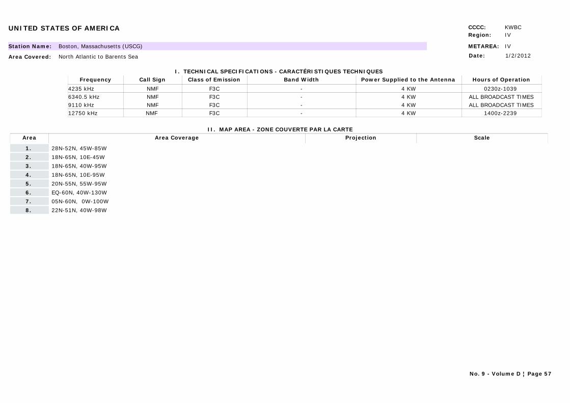
UNITED STATES OF AMERICA CCCC: KWBCRegion: IV
METAREA: IVStation Name: Boston, Massachusetts (USCG)
Area Covered: North Atlantic to Barents Sea
I. TECHNICAL SPECIFICATIONS - CARACTÉRISTIQUES TECHNIQUES
II. MAP AREA - ZONE COUVERTE PAR LA CARTE
Date: 1/2/2012
Call Sign Hours of OperationFrequency Class of Emission Band Width Power Supplied to the Antenna
NMF 0230z-1039 4235 kHz F3C - 4 KWNMF ALL BROADCAST TIMES6340.5 kHz F3C - 4 KWNMF ALL BROADCAST TIMES9110 kHz F3C - 4 KWNMF 1400z-2239 12750 kHz F3C - 4 KW
Area Area Coverage ScaleProjection
1. 28N-52N, 45W-85W
2. 18N-65N, 10E-45W
3. 18N-65N, 40W-95W
4. 18N-65N, 10E-95W
5. 20N-55N, 55W-95W
6. EQ-60N, 40W-130W
7. 05N-60N, 0W-100W
8. 22N-51N, 40W-98W
No. 9 - Volume D ¦ Page 57
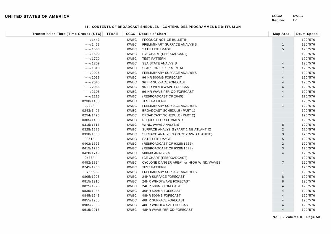
UNITED STATES OF AMERICA CCCC: KWBCRegion: IV
III. CONTENTS OF BROADCAST SHEDULES - CONTENU DES PROGRAMMES DE DIFFUSION
Transmission Time (Time Group) (UTC) Map AreaDetails of Chart Drum SpeedTTAAii CCCC
----/1443 PRODUCT NOTICE BULLETIN 120/576KWBC----/1453 1PRELIMINARY SURFACE ANALYSIS 120/576KWBC----/1503 5SATELLITE IMAGE 120/576KWBC----/1600 ICE CHART (REBROADCAST) 120/576KWBC----/1720 TEST PATTERN 120/576KWBC----/1759 4SEA STATE ANALYSIS 120/576KWBC----/1810 ?SPARE OR EXPERIMENTAL 120/576KWBC----/2025 1PRELIMINARY SURFACE ANALYSIS 120/576KWBC----/2035 496 HR 500MB FORECAST 120/576KWBC----/2045 496 HR SURFACE FORECAST 120/576KWBC----/2055 496 HR WIND/WAVE FORECAST 120/576KWBC----/2105 496 HR WAVE PERIOD FORECAST 120/576KWBC----/2115 4(REBROADCAST OF 2045) 120/576KWBC
0230/1400 TEST PATTERN 120/576KWBC0233/---- 1PRELIMINARY SURFACE ANALYSIS 120/576KWBC
0243/1405 BROADCAST SCHEDULE (PART 1) 120/576KWBC0254/1420 BROADCAST SCHEDULE (PART 2) 120/576KWBC0305/1433 REQUEST FOR COMMENTS 120/576KWBC0315/1515 8WIND/WAVE ANALYSIS 120/576KWBC0325/1525 2SURFACE ANALYSIS (PART 1 NE ATLANTIC) 120/576KWBC0338/1538 3SURFACE ANALYSIS (PART 2 NW ATLANTIC) 120/576KWBC
0351/---- 5SATELLITE IMAGE 120/576KWBC0402/1723 2(REBROADCAST OF 0325/1525) 120/576KWBC0415/1736 3(REBROADCAST OF 0338/1538) 120/576KWBC0428/1749 4500MB ANALYSIS 120/576KWBC
0438/---- ICE CHART (REBROADCAST) 120/576KWBC0452/1824 7CYCLONE DANGER AREA* or HIGH WIND/WAVES 120/576KWBC0745/1900 TEST PATTERN 120/576KWBC
0755/---- 1PRELIMINARY SURFACE ANALYSIS 120/576KWBC0805/1905 824HR SURFACE FORECAST 120/576KWBC0815/1915 824HR WIND/WAVE FORECAST 120/576KWBC0825/1925 424HR 500MB FORECAST 120/576KWBC0835/1935 436HR 500MB FORECAST 120/576KWBC0845/1945 448HR 500MB FORECAST 120/576KWBC0855/1955 448HR SURFACE FORECAST 120/576KWBC0905/2005 448HR WIND/WAVE FORECAST 120/576KWBC0915/2015 448HR WAVE PERIOD FORECAST 120/576KWBC
No. 9 - Volume D ¦ Page 58
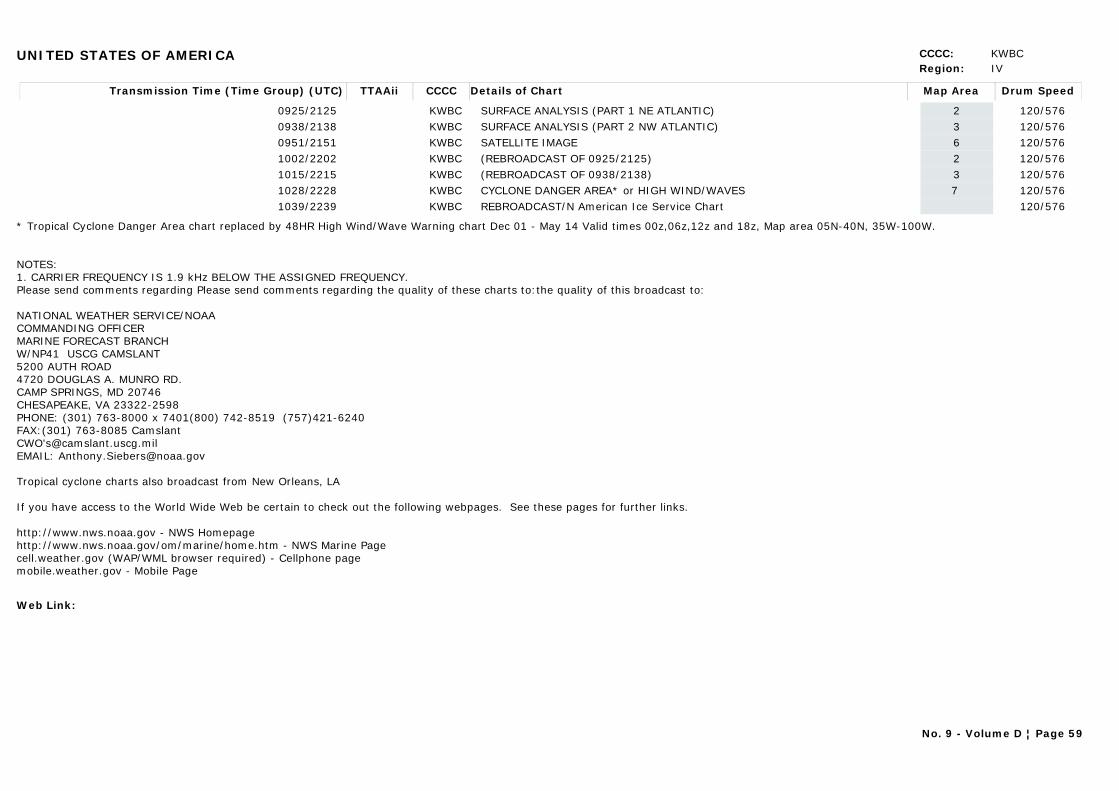
UNITED STATES OF AMERICA CCCC: KWBCRegion: IV
Transmission Time (Time Group) (UTC) Map AreaDetails of Chart Drum SpeedTTAAii CCCC
0925/2125 2SURFACE ANALYSIS (PART 1 NE ATLANTIC) 120/576KWBC0938/2138 3SURFACE ANALYSIS (PART 2 NW ATLANTIC) 120/576KWBC0951/2151 6SATELLITE IMAGE 120/576KWBC1002/2202 2(REBROADCAST OF 0925/2125) 120/576KWBC1015/2215 3(REBROADCAST OF 0938/2138) 120/576KWBC1028/2228 7 CYCLONE DANGER AREA* or HIGH WIND/WAVES 120/576KWBC1039/2239 REBROADCAST/N American Ice Service Chart 120/576KWBC
* Tropical Cyclone Danger Area chart replaced by 48HR High Wind/Wave Warning chart Dec 01 - May 14 Valid times 00z,06z,12z and 18z, Map area 05N-40N, 35W-100W.
NOTES: 1. CARRIER FREQUENCY IS 1.9 kHz BELOW THE ASSIGNED FREQUENCY.Please send comments regarding Please send comments regarding the quality of these charts to:the quality of this broadcast to:
NATIONAL WEATHER SERVICE/NOAACOMMANDING OFFICERMARINE FORECAST BRANCH W/NP41 USCG CAMSLANT5200 AUTH ROAD4720 DOUGLAS A. MUNRO RD.CAMP SPRINGS, MD 20746CHESAPEAKE, VA 23322-2598PHONE: (301) 763-8000 x 7401(800) 742-8519 (757)421-6240FAX:(301) 763-8085 CamslantCWO'[email protected]: [email protected]
Tropical cyclone charts also broadcast from New Orleans, LA
If you have access to the World Wide Web be certain to check out the following webpages. See these pages for further links.
http://www.nws.noaa.gov - NWS Homepage http://www.nws.noaa.gov/om/marine/home.htm - NWS Marine Page
cell.weather.gov (WAP/WML browser required) - Cellphone pagemobile.weather.gov - Mobile Page
Web Link:
No. 9 - Volume D ¦ Page 59
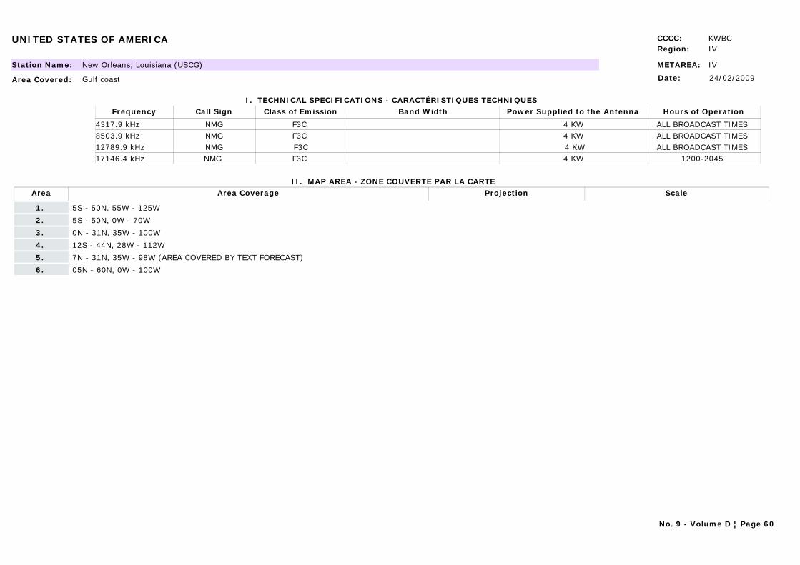
UNITED STATES OF AMERICA CCCC: KWBCRegion: IV
METAREA: IVStation Name: New Orleans, Louisiana (USCG)
Area Covered: Gulf coast
I. TECHNICAL SPECIFICATIONS - CARACTÉRISTIQUES TECHNIQUES
II. MAP AREA - ZONE COUVERTE PAR LA CARTE
Date: 24/02/2009
Call Sign Hours of OperationFrequency Class of Emission Band Width Power Supplied to the Antenna
NMG ALL BROADCAST TIMES 4317.9 kHz F3C 4 KWNMG ALL BROADCAST TIMES 8503.9 kHz F3C 4 KWNMG ALL BROADCAST TIMES 12789.9 kHz F3C 4 KWNMG 1200-2045 17146.4 kHz F3C 4 KW
Area Area Coverage ScaleProjection
1. 5S - 50N, 55W - 125W
2. 5S - 50N, 0W - 70W
3. 0N - 31N, 35W - 100W
4. 12S - 44N, 28W - 112W
5. 7N - 31N, 35W - 98W (AREA COVERED BY TEXT FORECAST)
6. 05N - 60N, 0W - 100W
No. 9 - Volume D ¦ Page 60
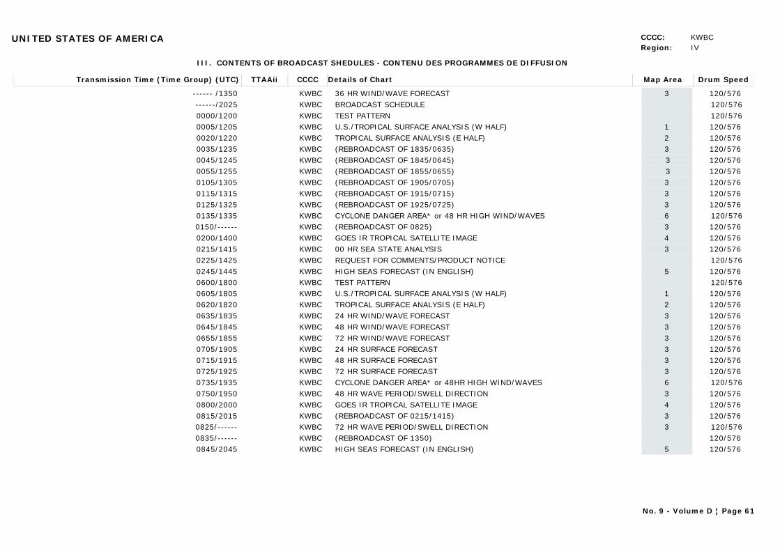
UNITED STATES OF AMERICA CCCC: KWBCRegion: IV
III. CONTENTS OF BROADCAST SHEDULES - CONTENU DES PROGRAMMES DE DIFFUSION
Transmission Time (Time Group) (UTC) Map AreaDetails of Chart Drum SpeedTTAAii CCCC
------ /1350 336 HR WIND/WAVE FORECAST 120/576 KWBC------/2025 BROADCAST SCHEDULE 120/576KWBC0000/1200 TEST PATTERN 120/576KWBC0005/1205 1U.S./TROPICAL SURFACE ANALYSIS (W HALF) 120/576 KWBC0020/1220 2TROPICAL SURFACE ANALYSIS (E HALF) 120/576 KWBC0035/1235 3(REBROADCAST OF 1835/0635) 120/576 KWBC0045/1245 3(REBROADCAST OF 1845/0645) 120/576 KWBC0055/1255 3(REBROADCAST OF 1855/0655) 120/576 KWBC0105/1305 3(REBROADCAST OF 1905/0705) 120/576 KWBC0115/1315 3(REBROADCAST OF 1915/0715) 120/576 KWBC0125/1325 3(REBROADCAST OF 1925/0725) 120/576 KWBC0135/1335 6CYCLONE DANGER AREA* or 48 HR HIGH WIND/WAVES 120/576KWBC0150/------ 3(REBROADCAST OF 0825) 120/576 KWBC0200/1400 4GOES IR TROPICAL SATELLITE IMAGE 120/576 KWBC0215/1415 300 HR SEA STATE ANALYSIS 120/576 KWBC0225/1425 REQUEST FOR COMMENTS/PRODUCT NOTICE 120/576KWBC0245/1445 5HIGH SEAS FORECAST (IN ENGLISH) 120/576 KWBC0600/1800 TEST PATTERN 120/576KWBC0605/1805 1U.S./TROPICAL SURFACE ANALYSIS (W HALF) 120/576 KWBC0620/1820 2TROPICAL SURFACE ANALYSIS (E HALF) 120/576 KWBC0635/1835 324 HR WIND/WAVE FORECAST 120/576 KWBC0645/1845 348 HR WIND/WAVE FORECAST 120/576 KWBC0655/1855 372 HR WIND/WAVE FORECAST 120/576 KWBC0705/1905 324 HR SURFACE FORECAST 120/576 KWBC0715/1915 348 HR SURFACE FORECAST 120/576 KWBC0725/1925 372 HR SURFACE FORECAST 120/576 KWBC0735/1935 6CYCLONE DANGER AREA* or 48HR HIGH WIND/WAVES 120/576KWBC0750/1950 348 HR WAVE PERIOD/SWELL DIRECTION 120/576 KWBC0800/2000 4GOES IR TROPICAL SATELLITE IMAGE 120/576 KWBC0815/2015 3(REBROADCAST OF 0215/1415) 120/576 KWBC0825/------ 372 HR WAVE PERIOD/SWELL DIRECTION 120/576KWBC0835/------ (REBROADCAST OF 1350) 120/576 KWBC0845/2045 5HIGH SEAS FORECAST (IN ENGLISH) 120/576 KWBC
No. 9 - Volume D ¦ Page 61
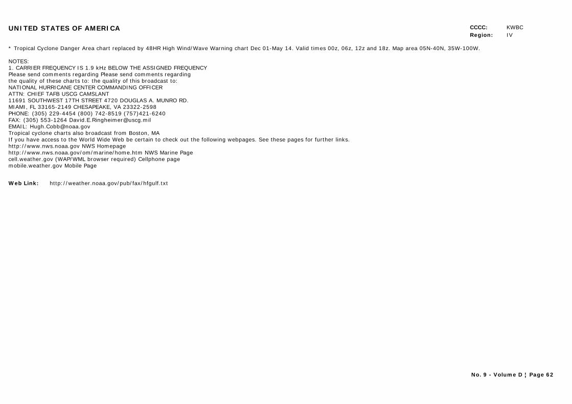
UNITED STATES OF AMERICA CCCC: KWBCRegion: IV
* Tropical Cyclone Danger Area chart replaced by 48HR High Wind/Wave Warning chart Dec 01-May 14. Valid times 00z, 06z, 12z and 18z. Map area 05N-40N, 35W-100W.
NOTES: 1. CARRIER FREQUENCY IS 1.9 kHz BELOW THE ASSIGNED FREQUENCYPlease send comments regarding Please send comments regardingthe quality of these charts to: the quality of this broadcast to:NATIONAL HURRICANE CENTER COMMANDING OFFICERATTN: CHIEF TAFB USCG CAMSLANT11691 SOUTHWEST 17TH STREET 4720 DOUGLAS A. MUNRO RD.MIAMI, FL 33165-2149 CHESAPEAKE, VA 23322-2598PHONE: (305) 229-4454 (800) 742-8519 (757)421-6240FAX: (305) 553-1264 [email protected]: [email protected] cyclone charts also broadcast from Boston, MAIf you have access to the World Wide Web be certain to check out the following webpages. See these pages for further links.http://www.nws.noaa.gov NWS Homepagehttp://www.nws.noaa.gov/om/marine/home.htm NWS Marine Pagecell.weather.gov (WAP/WML browser required) Cellphone pagemobile.weather.gov Mobile Page
Web Link: http://weather.noaa.gov/pub/fax/hfgulf.txt
No. 9 - Volume D ¦ Page 62
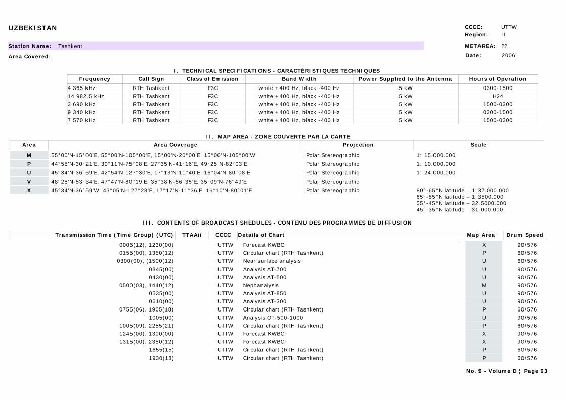
UZBEKISTAN CCCC: UTTWRegion: II
METAREA: ??Station Name: Tashkent
Area Covered:
I. TECHNICAL SPECIFICATIONS - CARACTÉRISTIQUES TECHNIQUES
II. MAP AREA - ZONE COUVERTE PAR LA CARTE
Date: 2006
Call Sign Hours of OperationFrequency Class of Emission Band Width Power Supplied to the Antenna
RTH Tashkent 0300-15004 365 kHz F3C white +400 Hz, black -400 Hz 5 kWRTH Tashkent H2414 982.5 kHz F3C white +400 Hz, black -400 Hz 5 kWRTH Tashkent 1500-03003 690 kHz F3C white +400 Hz, black -400 Hz 5 kWRTH Tashkent 0300-15009 340 kHz F3C white +400 Hz, black -400 Hz 5 kWRTH Tashkent 1500-03007 570 kHz F3C white +400 Hz, black -400 Hz 5 kW
Area Area Coverage ScaleProjection
M 55°00’N-15°00’E, 55°00’N-105°00’E, 15°00’N-20°00’E, 15°00’N-105°00’W Polar Stereographic 1: 15.000.000
P 44°55’N-30°21’E, 30°11’N-75°08’E, 27°35’N-41°16’E, 49°25 N-82°03’E Polar Stereographic 1: 10.000.000
U 45°34’N-36°59’E, 42°54’N-127°30’E, 17°13’N-11°40’E, 16°04’N-80°08’E Polar Stereographic 1: 24.000.000
V 48°25’N-53°34’E, 47°47’N-80°19’E, 35°38’N-56°35’E, 35°09’N-76°49’E Polar Stereographic
X 45°34’N-36°59’W, 43°05’N-127°28’E, 17°17’N-11°36’E, 16°10’N-80°01’E Polar Stereographic 80°-65°N latitude – 1:37.000.00065°-55°N latitude – 1:3500.00055°-45°N latitude – 32.5000.00045°-35°N latitude – 31.000.000
III. CONTENTS OF BROADCAST SHEDULES - CONTENU DES PROGRAMMES DE DIFFUSION
Transmission Time (Time Group) (UTC) Map AreaDetails of Chart Drum SpeedTTAAii CCCC
0005(12), 1230(00) XForecast KWBC 90/576UTTW0155(00), 1350(12) PCircular chart (RTH Tashkent) 60/576UTTW
0300(00), (1500(12) UNear surface analysis 60/576UTTW0345(00) UAnalysis AT-700 90/576UTTW0430(00) UAnalysis AT-500 90/576UTTW
0500(03), 1440(12) MNephanalysis 90/576UTTW0535(00) UAnalysis AT-850 90/576UTTW0610(00) UAnalysis AT-300 90/576UTTW
0755(06), 1905(18) PCircular chart (RTH Tashkent) 60/576UTTW1005(00) UAnalysis OT-500-1000 90/576UTTW
1005(09), 2255(21) PCircular chart (RTH Tashkent) 60/576UTTW1245(00), 1300(00) XForecast KWBC 90/576UTTW1315(00), 2350(12) XForecast KWBC 90/576UTTW
1655(15) PCircular chart (RTH Tashkent) 60/576UTTW1930(18) PCircular chart (RTH Tashkent) 60/576UTTW
No. 9 - Volume D ¦ Page 63
UZBEKISTAN CCCC: UTTWRegion: II
Web Link:
No. 9 - Volume D ¦ Page 64

CHAPTER 4
METEOROLOGICAL BROADCASTS
BY RADIOTELEGRAPHY AND RADIOTELEPHONY
DIFFUSIONS MÉTÉOROLOGIQUES EN RADIOTÉLÉGRAPHIE ET RADIOTÉLÉPHONIE

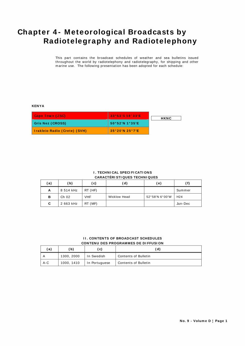
No. 9 - Volume D ¦ Page 1
Chapter 4- Meteorological Broadcasts by Radiotelegraphy and Radiotelephony
This part contains the broadcast schedules of weather and sea bulletins issued throughout the world by radiotelephony and radiotelegraphy, for shipping and other marine use. The following presentation has been adopted for each schedule:
KENYA
Cape Town (ZSC) 33°53'S 18°30'E
Gris Nez (CROSS) 50°52'N 1°35'E
Irakleio Radio (Crete) (SVH) 35°20'N 25°7'E
HKNC
I. TECHNICAL SPECIFICATIONS CARACTÉRISTIQUES TECHNIQUES
(a) (b) (c) (d) (e) (f)
A 8 514 kHz RT (HF) Summer
B Ch 02 VHF Wicklow Head 52°58'N 6°00'W H24
C 2 663 kHz RT (MF) Jun-Dec
II. CONTENTS OF BROADCAST SCHEDULES CONTENU DES PROGRAMMES DE DIFFUSION
(a) (b) (c) (d)
A 1300, 2000 In Swedish Contents of Bulletin
A-C 1000, 1410 In Portuguese Contents of Bulletin
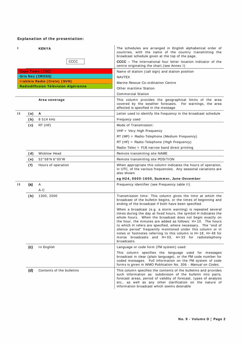
No. 9 - Volume D ¦ Page 2
Explanation of the presentation: I KENYA The schedules are arranged in English alphabetical order of
countries, with the name of the country transmitting the broadcast schedule given at the top of the page.
CCCC CCCC – The international four letter location indicator of the centre originating the chart.(see Annex I)
Name of station (call sign) and station position
NAVTEX
Marine Rescue Co-ordination Centre
Other maritime Station
Cape Town (ZSC)
Gris Nez (CROSS)
Irakleio Radio (Crete) (SVH)
Radiodiffusion Télévision Algérienne
Commercial Station
Area coverage This column provides the geographical limits of the area covered by the weather forecasts. For warnings, the area affected is specified in the message
II (a) A Letter used to identify the frequency in the broadcast schedule
(b) 8 514 kHz Frequecy used
(c) RT (HF) Mode of Transmission:
VHF = Very High Frequency
RT (MF) = Radio-Telephone (Medium Frequency)
RT (HF) = Radio-Telephone (High Frequency)
Radio-Telex = F1B narrow band direct printing
(d) Wicklow Head Remote transmittng site NAME
(e) 52°58'N 6°00'W Remote transmittng site POSITION
(f) Hours of operation When appropriate this column indicates the hours of operation, in UTC, of the various frequencies. Any seasonal variations are also shown
eg H24, 0600-1600, Summer, June-December
II (a) A
A-C
Frequency identifier (see Frequency table II)
(b) 1300, 2000 Transmission time: This column gives the time at which the broadcast of the bulletin begins, or the times of beginning and ending of the broadcast if both have been specified.
When a broadcast (e.g. a storm warning) is repeated several times during the day at fixed hours, the symbol H indicates the whole hours. When the broadcast does not begin exactly on the hour, the minutes are added as follows: H+10. The hours to which H refers are specified, where necessary. The “end of silence period” frequently mentioned under this column or in notes or footnotes referring to this column is H+18, H+48 for morse broadcasts and H+03, H+33 for radiotelephony broadcasts.
(c) In English Language or code form (FM system) used:
This column specifies the language used for messages broadcast in clear (plain language), or the FM code number for coded messages. Full information on the FM system of code forms is given in WMO Publication No. 306 - Manual on Codes.
(d) Contents of the bulletins This column specifies the contents of the bulletins and provides such information as: subdivision of the bulletin into parts, forecast areas, period of validity of forecast, types of analysis etc., as well as any other clarification on the nature of information broadcast which seems desirable
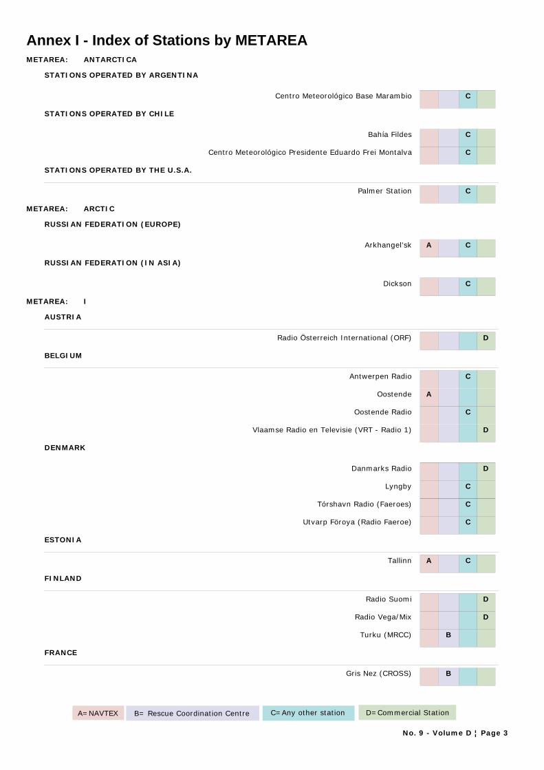
Annex I - Index of Stations by METAREAMETAREA: ANTARCTICA
STATIONS OPERATED BY ARGENTINA
Centro Meteorológico Base Marambio C
STATIONS OPERATED BY CHILE
Bahía Fildes C
Centro Meteorológico Presidente Eduardo Frei Montalva C
STATIONS OPERATED BY THE U.S.A.
Palmer Station C
METAREA: ARCTIC
RUSSIAN FEDERATION (EUROPE)
Arkhangel'sk A C
RUSSIAN FEDERATION (IN ASIA)
Dickson C
METAREA: I
AUSTRIA
Radio Österreich International (ORF) D
BELGIUM
Antwerpen Radio C
Oostende A
Oostende Radio C
Vlaamse Radio en Televisie (VRT - Radio 1) D
DENMARK
Danmarks Radio D
Lyngby C
Tórshavn Radio (Faeroes) C
Utvarp Föroya (Radio Faeroe) C
ESTONIA
Tallinn A C
FINLAND
Radio Suomi D
Radio Vega/Mix D
Turku (MRCC) B
FRANCE
Gris Nez (CROSS) B
A=NAVTEX B= Rescue Coordination Centre C=Any other station D=Commercial Station
No. 9 - Volume D ¦ Page 3
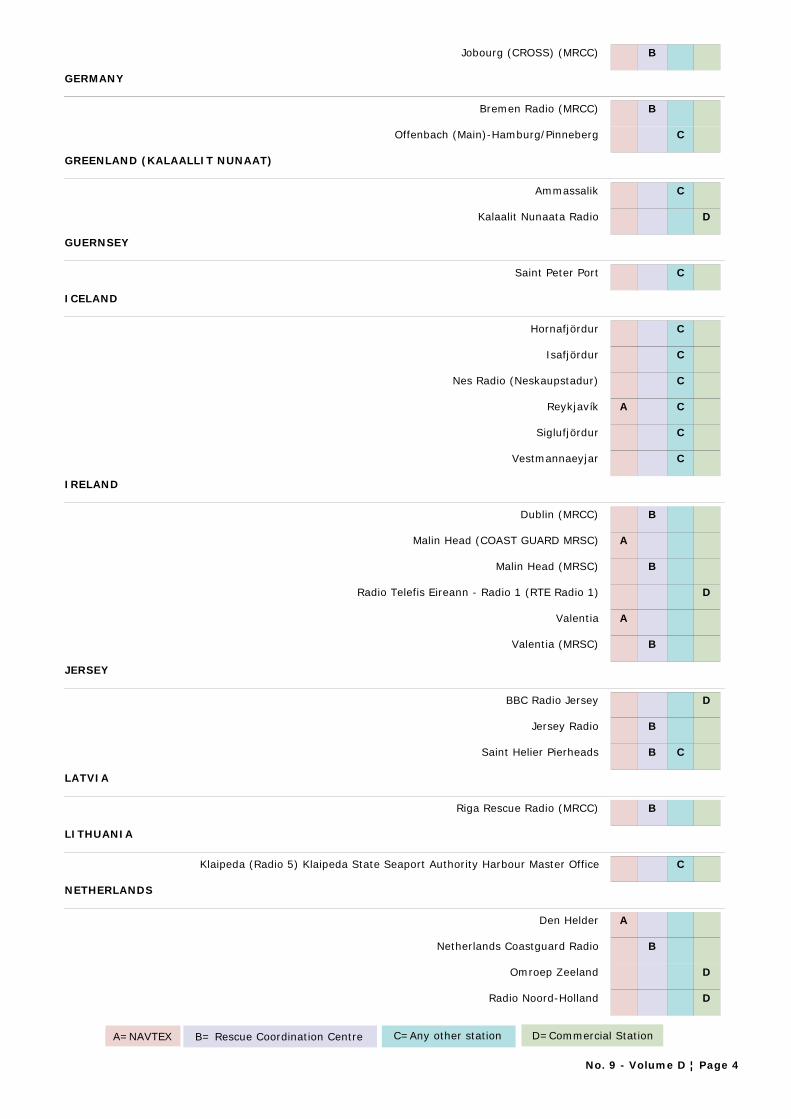
Jobourg (CROSS) (MRCC) B
GERMANY
Bremen Radio (MRCC) B
Offenbach (Main)-Hamburg/Pinneberg C
GREENLAND (KALAALLIT NUNAAT)
Ammassalik C
Kalaalit Nunaata Radio D
GUERNSEY
Saint Peter Port C
ICELAND
Hornafjördur C
Isafjördur C
Nes Radio (Neskaupstadur) C
Reykjavík A C
Siglufjördur C
Vestmannaeyjar C
IRELAND
Dublin (MRCC) B
Malin Head (COAST GUARD MRSC) A
Malin Head (MRSC) B
Radio Telefis Eireann - Radio 1 (RTE Radio 1) D
Valentia A
Valentia (MRSC) B
JERSEY
BBC Radio Jersey D
Jersey Radio B
Saint Helier Pierheads B C
LATVIA
Riga Rescue Radio (MRCC) B
LITHUANIA
Klaipeda (Radio 5) Klaipeda State Seaport Authority Harbour Master Office C
NETHERLANDS
Den Helder A
Netherlands Coastguard Radio B
Omroep Zeeland D
Radio Noord-Holland D
A=NAVTEX B= Rescue Coordination Centre C=Any other station D=Commercial Station
No. 9 - Volume D ¦ Page 4
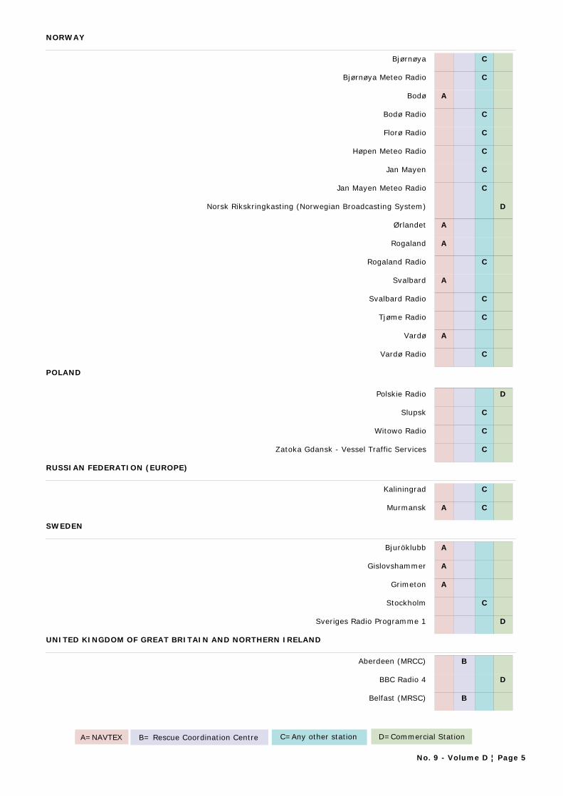
NORWAY
Bjørnøya C
Bjørnøya Meteo Radio C
Bodø A
Bodø Radio C
Florø Radio C
Høpen Meteo Radio C
Jan Mayen C
Jan Mayen Meteo Radio C
Norsk Rikskringkasting (Norwegian Broadcasting System) D
Ørlandet A
Rogaland A
Rogaland Radio C
Svalbard A
Svalbard Radio C
Tjøme Radio C
Vardø A
Vardø Radio C
POLAND
Polskie Radio D
Slupsk C
Witowo Radio C
Zatoka Gdansk - Vessel Traffic Services C
RUSSIAN FEDERATION (EUROPE)
Kaliningrad C
Murmansk A C
SWEDEN
Bjuröklubb A
Gislovshammer A
Grimeton A
Stockholm C
Sveriges Radio Programme 1 D
UNITED KINGDOM OF GREAT BRITAIN AND NORTHERN IRELAND
Aberdeen (MRCC) B
BBC Radio 4 D
Belfast (MRSC) B
A=NAVTEX B= Rescue Coordination Centre C=Any other station D=Commercial Station
No. 9 - Volume D ¦ Page 5

Brixham (MRSC) B
Clyde (MRCC) B
Cullercoats A
Dover (MRCC) B
Falmouth (MRCC) B
Forth (MRSC) B
Holyhead (MRSC) B
Humber (MRCC) B
Liverpool (MRSC) B
Milford Haven (MRSC) B
Niton A
Niton (France) A
Portland (MRSC) B
Portpatrick A
Shetland (MRSC) B
Solent (MRSC) B
Stornoway (MRSC) B
Swansea (MRCC) B
Thames (MRCC) B
Yarmouth (MRCC) B
METAREA: II
AZORES (PORTUGAL)
Delgada (MRCC) B
Horta A
Horta (Radionaval) B
BENIN
Cotonou C
CANARY ISLANDS (SPAIN)
Las Palmas A
Las Palmas (CCR GROUP V) C
Las Palmas (MRCC) B
Tenerife (CCR) C
Tenerife (MRCC) B
CONGO
Pointe Noire C
A=NAVTEX B= Rescue Coordination Centre C=Any other station D=Commercial Station
No. 9 - Volume D ¦ Page 6
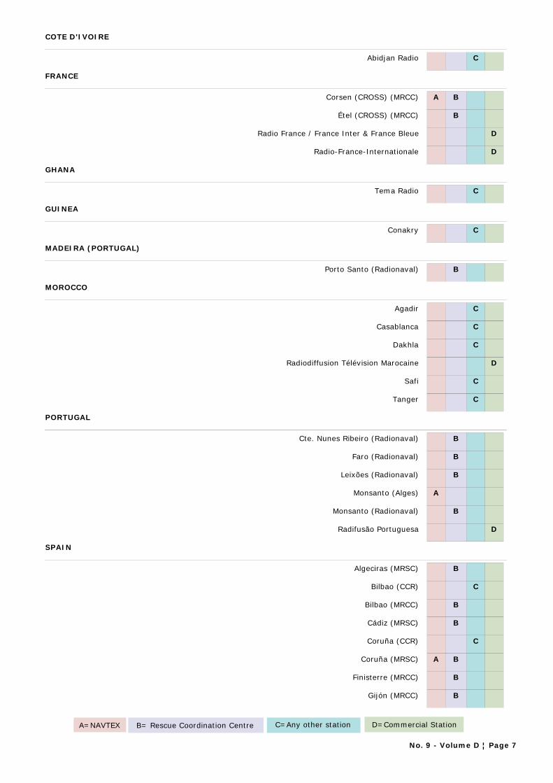
COTE D'IVOIRE
Abidjan Radio C
FRANCE
Corsen (CROSS) (MRCC) A B
Étel (CROSS) (MRCC) B
Radio France / France Inter & France Bleue D
Radio-France-Internationale D
GHANA
Tema Radio C
GUINEA
Conakry C
MADEIRA (PORTUGAL)
Porto Santo (Radionaval) B
MOROCCO
Agadir C
Casablanca C
Dakhla C
Radiodiffusion Télévision Marocaine D
Safi C
Tanger C
PORTUGAL
Cte. Nunes Ribeiro (Radionaval) B
Faro (Radionaval) B
Leixões (Radionaval) B
Monsanto (Alges) A
Monsanto (Radionaval) B
Radifusão Portuguesa D
SPAIN
Algeciras (MRSC) B
Bilbao (CCR) C
Bilbao (MRCC) B
Cádiz (MRSC) B
Coruña (CCR) C
Coruña (MRSC) A B
Finisterre (MRCC) B
Gijón (MRCC) B
A=NAVTEX B= Rescue Coordination Centre C=Any other station D=Commercial Station
No. 9 - Volume D ¦ Page 7
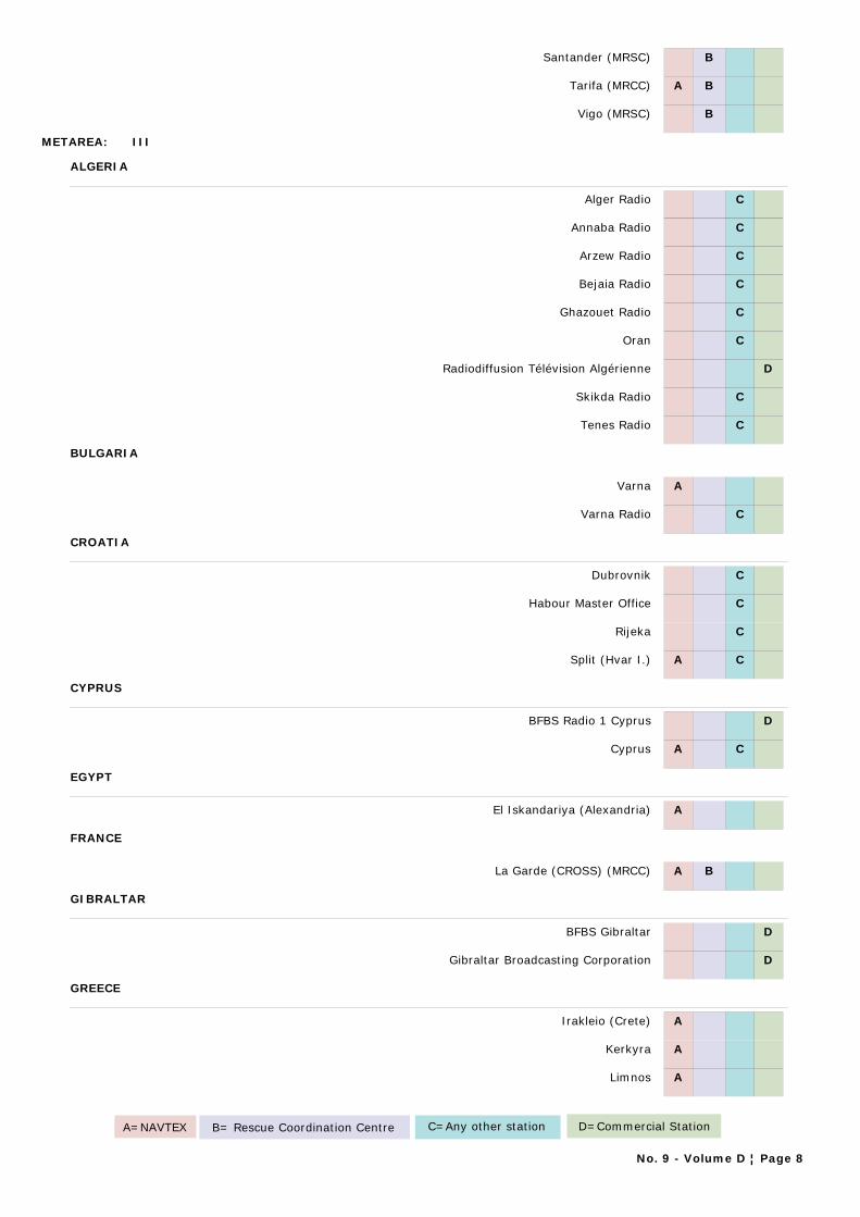
Santander (MRSC) B
Tarifa (MRCC) A B
Vigo (MRSC) B
METAREA: III
ALGERIA
Alger Radio C
Annaba Radio C
Arzew Radio C
Bejaia Radio C
Ghazouet Radio C
Oran C
Radiodiffusion Télévision Algérienne D
Skikda Radio C
Tenes Radio C
BULGARIA
Varna A
Varna Radio C
CROATIA
Dubrovnik C
Habour Master Office C
Rijeka C
Split (Hvar I.) A C
CYPRUS
BFBS Radio 1 Cyprus D
Cyprus A C
EGYPT
El Iskandariya (Alexandria) A
FRANCE
La Garde (CROSS) (MRCC) A B
GIBRALTAR
BFBS Gibraltar D
Gibraltar Broadcasting Corporation D
GREECE
Irakleio (Crete) A
Kerkyra A
Limnos A
A=NAVTEX B= Rescue Coordination Centre C=Any other station D=Commercial Station
No. 9 - Volume D ¦ Page 8
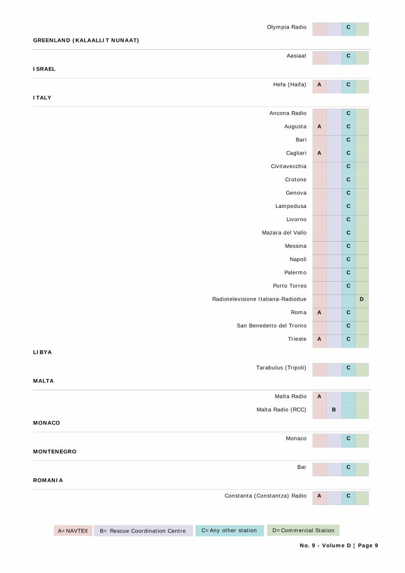
Olympia Radio C
GREENLAND (KALAALLIT NUNAAT)
Aasiaat C
ISRAEL
Hefa (Haifa) A C
ITALY
Ancona Radio C
Augusta A C
Bari C
Cagliari A C
Civitavecchia C
Crotone C
Genova C
Lampedusa C
Livorno C
Mazara del Vallo C
Messina C
Napoli C
Palermo C
Porto Torres C
Radiotelevisione Italiana-Radiodue D
Roma A C
San Benedetto del Tronto C
Trieste A C
LIBYA
Tarabulus (Tripoli) C
MALTA
Malta Radio A
Malta Radio (RCC) B
MONACO
Monaco C
MONTENEGRO
Bar C
ROMANIA
Constanta (Constantza) Radio A C
A=NAVTEX B= Rescue Coordination Centre C=Any other station D=Commercial Station
No. 9 - Volume D ¦ Page 9
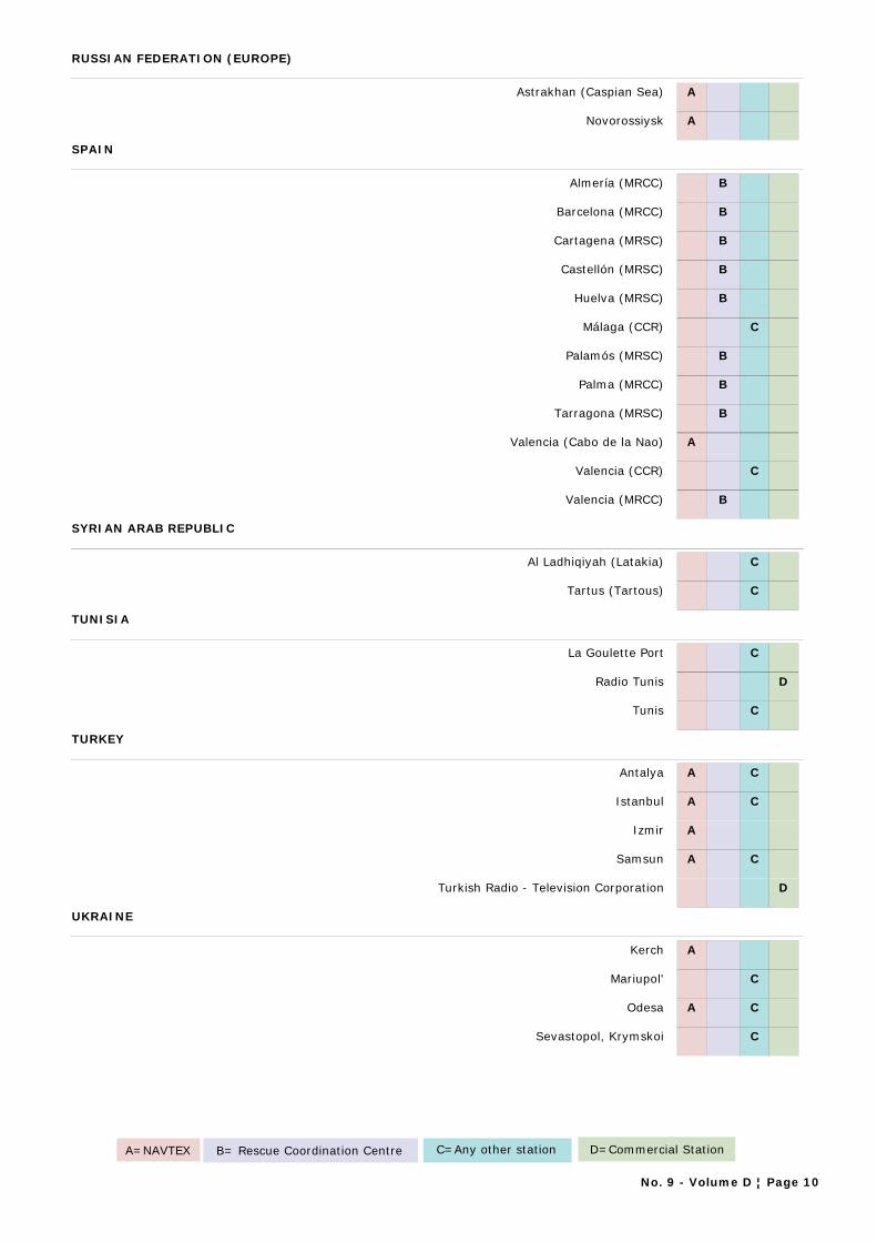
RUSSIAN FEDERATION (EUROPE)
Astrakhan (Caspian Sea) A
Novorossiysk A
SPAIN
Almería (MRCC) B
Barcelona (MRCC) B
Cartagena (MRSC) B
Castellón (MRSC) B
Huelva (MRSC) B
Málaga (CCR) C
Palamós (MRSC) B
Palma (MRCC) B
Tarragona (MRSC) B
Valencia (Cabo de la Nao) A
Valencia (CCR) C
Valencia (MRCC) B
SYRIAN ARAB REPUBLIC
Al Ladhiqiyah (Latakia) C
Tartus (Tartous) C
TUNISIA
La Goulette Port C
Radio Tunis D
Tunis C
TURKEY
Antalya A C
Istanbul A C
Izmir A
Samsun A C
Turkish Radio - Television Corporation D
UKRAINE
Kerch A
Mariupol' C
Odesa A C
Sevastopol, Krymskoi C
A=NAVTEX B= Rescue Coordination Centre C=Any other station D=Commercial Station
No. 9 - Volume D ¦ Page 10

METAREA: IV
BAHAMAS
Radio Bahamas (Broadcasting Corp. of the Bahamas) D
BARBADOS
Barbados Coast Guard (8PO) (MRSC) B
Barbados Rediffusion Service Ltd. D
Caribbean Broadcasting Corportaion (Radio Barbados) D
BELIZE
BFBS Radio 1 (Belize) D
Love FM D
BERMUDA
Bermuda Harbour A B
CANADA
Churchill (CCG) B
Fundy (Yarmouth) (CCG) A
Halifax (CCG) B
Inuvik (CCG) B
Labrador (CCG) A B
Les Escoumins (CCG) B
Montréal (CCG) B
Placentia (CCG) B
Port aux Basques (CCG) B
Prescott (Wiarton) (CCG) A B
Québec (CCG) B
Resolute (CCG) B
Rivière-au-Renard (CCG) A B
Saint Anthony(CCG) B
Saint John's, New Brunswick (CCG) B
Saint John's, Newfoundland (CCG) A B
Sarnia (CCG) B
Sydney (CCG) A B
Thunder Bay (CCG) A B
COSTA RICA
Radio Casino, Limón C
Radio Stero Bahía, Limón C
A=NAVTEX B= Rescue Coordination Centre C=Any other station D=Commercial Station
No. 9 - Volume D ¦ Page 11
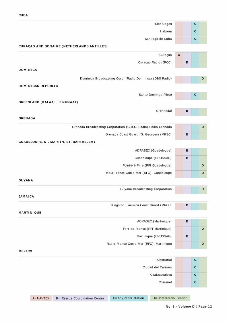
CUBA
Cienfuegos C
Habana C
Santiago de Cuba C
CURAÇAO AND BONAIRE (NETHERLANDS ANTILLES)
Curaçao A
Curaçao Radio (JRCC) B
DOMINICA
Dominica Broadcasting Corp. (Radio Dominica) (DBS Radio) D
DOMINICAN REPUBLIC
Santo Domingo Piloto C
GREENLAND (KALAALLIT NUNAAT)
Grønnedal B
GRENADA
Grenada Broadcasting Corporation (G.B.C. Radio) Radio Grenada D
Grenada Coast Guard (S. Georges) (MRSC) B
GUADELOUPE, ST. MARTIN, ST. BARTHELEMY
ADRASEC (Guadeloupe) B
Guadeloupe (CROSSAG) B
Pointe-à-Pitre (RFI Guadeloupe) D
Radio-France Outre-Mer (RFO), Guadeloupe D
GUYANA
Guyana Broadcasting Corporation D
JAMAICA
Kingston, Jamaica Coast Guard (MRCC) B
MARTINIQUE
ADRASEC (Martinique) B
Fort-de-France (RFI Martinique) D
Martinique (CROSSAG) B
Radio-France Outre-Mer (RFO), Martinique D
MEXICO
Chetumal C
Ciudad del Carmen C
Coatzacoalcos C
Cozumel C
A=NAVTEX B= Rescue Coordination Centre C=Any other station D=Commercial Station
No. 9 - Volume D ¦ Page 12
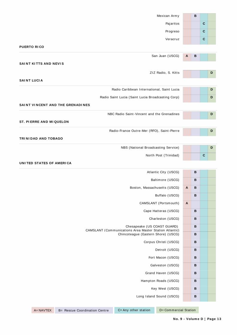
Mexican Army B
Pajaritos C
Progreso C
Veracruz C
PUERTO RICO
San Juan (USCG) A B
SAINT KITTS AND NEVIS
ZIZ Radio, S. Kitts D
SAINT LUCIA
Radio Caribbean International, Saint Lucia D
Radio Saint Lucia (Saint Lucia Broadcasting Corp) D
SAINT VINCENT AND THE GRENADINES
NBC Radio Saint-Vincent and the Grenadines D
ST. PIERRE AND MIQUELON
Radio-France Outre-Mer (RFO), Saint-Pierre D
TRINIDAD AND TOBAGO
NBS (National Broadcasting Service) D
North Post (Trinidad) C
UNITED STATES OF AMERICA
Atlantic City (USCG) B
Baltimore (USCG) B
Boston, Massachusetts (USCG) A B
Buffalo (USCG) B
CAMSLANT (Portsmouth) A
Cape Hatteras (USCG) B
Charleston (USCG) B
Chesapeake (US COAST GUARD) CAMSLANT (Communications Area Master Station Atlantic)
B
Chincoteague (Eastern Shore) (USCG) B
Corpus Christi (USCG) B
Detroit (USCG) B
Fort Macon (USCG) B
Galveston (USCG) B
Grand Haven (USCG) B
Hampton Roads (USCG) B
Key West (USCG) B
Long Island Sound (USCG) B
A=NAVTEX B= Rescue Coordination Centre C=Any other station D=Commercial Station
No. 9 - Volume D ¦ Page 13
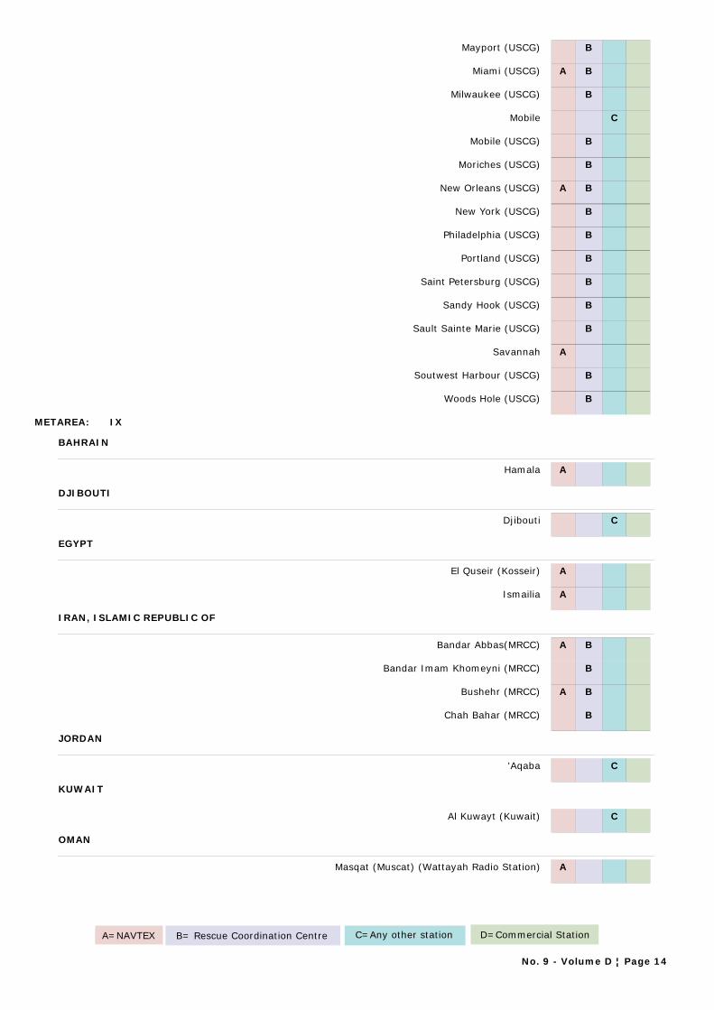
Mayport (USCG) B
Miami (USCG) A B
Milwaukee (USCG) B
Mobile C
Mobile (USCG) B
Moriches (USCG) B
New Orleans (USCG) A B
New York (USCG) B
Philadelphia (USCG) B
Portland (USCG) B
Saint Petersburg (USCG) B
Sandy Hook (USCG) B
Sault Sainte Marie (USCG) B
Savannah A
Soutwest Harbour (USCG) B
Woods Hole (USCG) B
METAREA: IX
BAHRAIN
Hamala A
DJIBOUTI
Djibouti C
EGYPT
El Quseir (Kosseir) A
Ismailia A
IRAN, ISLAMIC REPUBLIC OF
Bandar Abbas(MRCC) A B
Bandar Imam Khomeyni (MRCC) B
Bushehr (MRCC) A B
Chah Bahar (MRCC) B
JORDAN
'Aqaba C
KUWAIT
Al Kuwayt (Kuwait) C
OMAN
Masqat (Muscat) (Wattayah Radio Station) A
A=NAVTEX B= Rescue Coordination Centre C=Any other station D=Commercial Station
No. 9 - Volume D ¦ Page 14
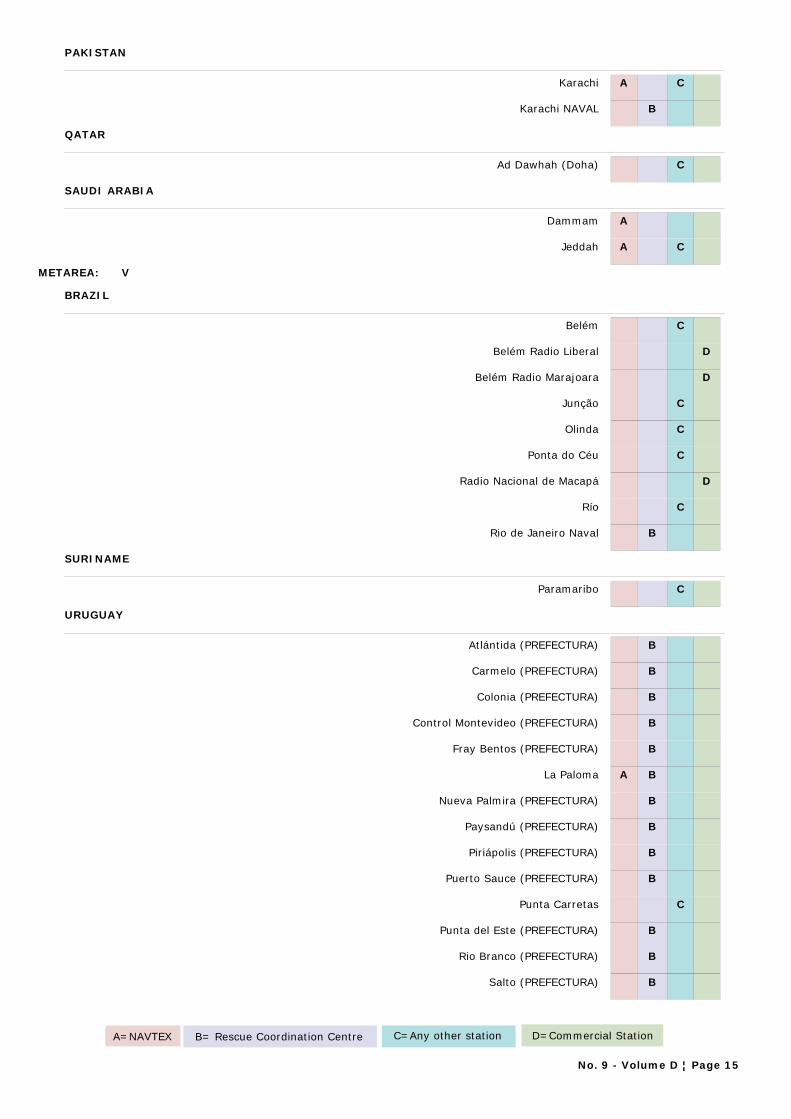
PAKISTAN
Karachi A C
Karachi NAVAL B
QATAR
Ad Dawhah (Doha) C
SAUDI ARABIA
Dammam A
Jeddah A C
METAREA: V
BRAZIL
Belém C
Belém Radio Liberal D
Belém Radio Marajoara D
Junção C
Olinda C
Ponta do Céu C
Radio Nacional de Macapá D
Río C
Rio de Janeiro Naval B
SURINAME
Paramaribo C
URUGUAY
Atlántida (PREFECTURA) B
Carmelo (PREFECTURA) B
Colonia (PREFECTURA) B
Control Montevideo (PREFECTURA) B
Fray Bentos (PREFECTURA) B
La Paloma A B
Nueva Palmira (PREFECTURA) B
Paysandú (PREFECTURA) B
Piriápolis (PREFECTURA) B
Puerto Sauce (PREFECTURA) B
Punta Carretas C
Punta del Este (PREFECTURA) B
Rio Branco (PREFECTURA) B
Salto (PREFECTURA) B
A=NAVTEX B= Rescue Coordination Centre C=Any other station D=Commercial Station
No. 9 - Volume D ¦ Page 15
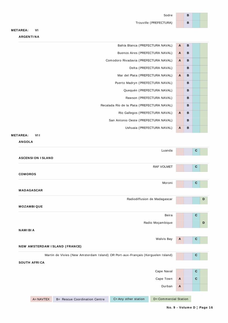
Sodre B
Trouville (PREFECTURA) B
METAREA: VI
ARGENTINA
Bahía Blanca (PREFECTURA NAVAL) A B
Buenos Aires (PREFECTURA NAVAL) A B
Comodoro Rivadavia (PREFECTURA NAVAL) A B
Delta (PREFECTURA NAVAL) B
Mar del Plata (PREFECTURA NAVAL) A B
Puerto Madryn (PREFECTURA NAVAL) B
Quequén (PREFECTURA NAVAL) B
Rawson (PREFECTURA NAVAL) B
Recalada Río de la Plata (PREFECTURA NAVAL) B
Rio Gallegos (PREFECTURA NAVAL) A B
San Antonio Oeste (PREFECTURA NAVAL) B
Ushuaia (PREFECTURA NAVAL) A B
METAREA: VII
ANGOLA
Luanda C
ASCENSION ISLAND
RAF VOLMET C
COMOROS
Moroni C
MADAGASCAR
Radiodiffusion de Madagascar D
MOZAMBIQUE
Beira C
Radio Moçambique D
NAMIBIA
Walvis Bay A C
NEW AMSTERDAM ISLAND (FRANCE)
Martin de Vivies (New Amsterdam Island) OR Port-aux-Français (Kerguelen Island) C
SOUTH AFRICA
Cape Naval C
Cape Town A C
Durban A
A=NAVTEX B= Rescue Coordination Centre C=Any other station D=Commercial Station
No. 9 - Volume D ¦ Page 16
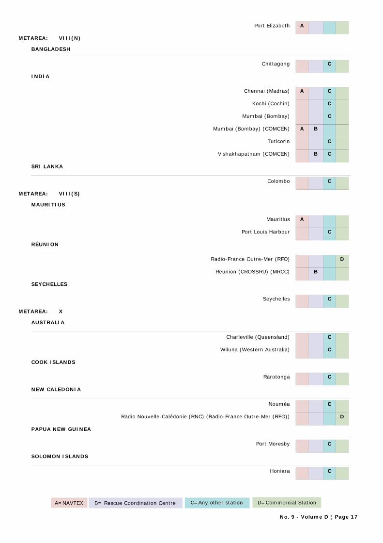
Port Elizabeth A
METAREA: VIII(N)
BANGLADESH
Chittagong C
INDIA
Chennai (Madras) A C
Kochi (Cochin) C
Mumbai (Bombay) C
Mumbai (Bombay) (COMCEN) A B
Tuticorin C
Vishakhapatnam (COMCEN) B C
SRI LANKA
Colombo C
METAREA: VIII(S)
MAURITIUS
Mauritius A
Port Louis Harbour C
RÉUNION
Radio-France Outre-Mer (RFO) D
Réunion (CROSSRU) (MRCC) B
SEYCHELLES
Seychelles C
METAREA: X
AUSTRALIA
Charleville (Queensland) C
Wiluna (Western Australia) C
COOK ISLANDS
Rarotonga C
NEW CALEDONIA
Nouméa C
Radio Nouvelle-Calédonie (RNC) (Radio-France Outre-Mer (RFO)) D
PAPUA NEW GUINEA
Port Moresby C
SOLOMON ISLANDS
Honiara C
A=NAVTEX B= Rescue Coordination Centre C=Any other station D=Commercial Station
No. 9 - Volume D ¦ Page 17
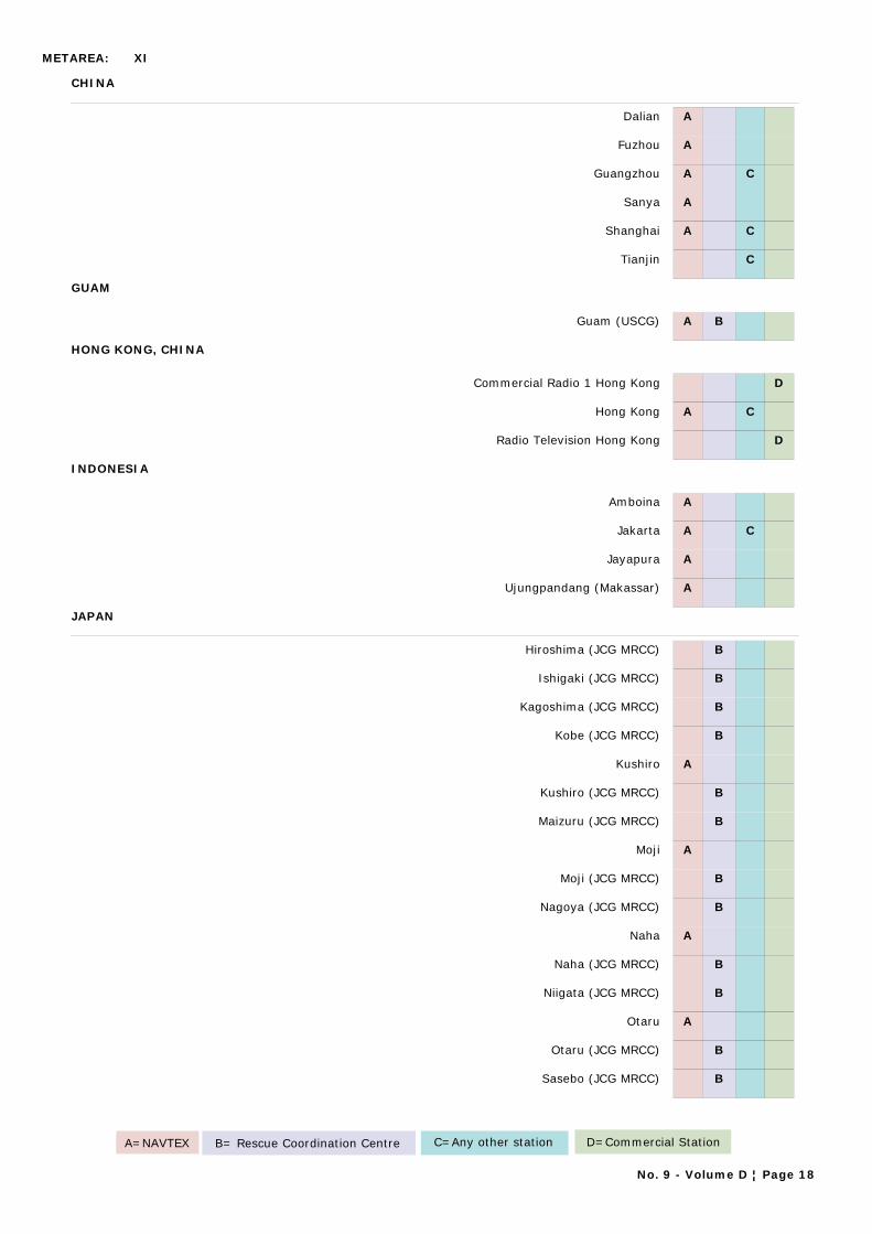
METAREA: XI
CHINA
Dalian A
Fuzhou A
Guangzhou A C
Sanya A
Shanghai A C
Tianjin C
GUAM
Guam (USCG) A B
HONG KONG, CHINA
Commercial Radio 1 Hong Kong D
Hong Kong A C
Radio Television Hong Kong D
INDONESIA
Amboina A
Jakarta A C
Jayapura A
Ujungpandang (Makassar) A
JAPAN
Hiroshima (JCG MRCC) B
Ishigaki (JCG MRCC) B
Kagoshima (JCG MRCC) B
Kobe (JCG MRCC) B
Kushiro A
Kushiro (JCG MRCC) B
Maizuru (JCG MRCC) B
Moji A
Moji (JCG MRCC) B
Nagoya (JCG MRCC) B
Naha A
Naha (JCG MRCC) B
Niigata (JCG MRCC) B
Otaru A
Otaru (JCG MRCC) B
Sasebo (JCG MRCC) B
A=NAVTEX B= Rescue Coordination Centre C=Any other station D=Commercial Station
No. 9 - Volume D ¦ Page 18

Shiogama (JCG MRCC) B
Yokohama (JCG MRCC) A B
KIRIBATI
Tarawa C
MACAO, CHINA
Emissora de Radiodifusão de Macau D
MALAYSIA
Miri (Sarawak) A
Penang A
Sandakan (Sabah) A
PHILIPPINES
Manila C
Philippine Broadcasting Stations D
REPUBLIC OF KOREA
Cheju (Jeju) C
Chukpyon (Jukbyeon) A
Inch'on (Incheon) C
Kangnung (Gangneung) C
Kunsan (Gunsan) C
Pyonsan (Byeonsan) A
SINGAPORE
Singapore (Changi) A
THAILAND
Bangkok (Nonthaburi) Meteorological A C
VIET NAM
Da Nang A C
Hai Phong C
Ho Chi Minh Ville A C
METAREA: XII
ALASKA (US)
Annette (Weather Service Office) C
Barrow (Weather Service Office) C
Bethel (Weather Service Office) C
Cold Bay (Weather Service Office) C
Juneau (USCG) B
Ketchikan (USCG) B
A=NAVTEX B= Rescue Coordination Centre C=Any other station D=Commercial Station
No. 9 - Volume D ¦ Page 19

King Salmon (Weather Service Office) C
Kodiak A
Kodiak (USCG) B
Kodiak (Weather Service Office) C
Kotzebue (Weather Service Office) C
Mc Grath (Weather Service Office) C
Nome (Weather Service Office) C
S. Paul Island (Weather Service Office) C
Sitka (USCG) B
Valdez (USCG) B
Yakutat (Weather Service Office) C
CANADA
Comox (CCG) B
Prince Rupert (CCG) A B
Tofino (CCG) A B
Vancouver (CCG) B
Victoria (CCG) B
COSTA RICA
Radio Bahía, Puntarenas C
Radio Dos D
Radio Pampa, Guanacaste C
ECUADOR
Ayora A
Guayaquil, Radio IOA (Instituto Oceanografico Armada) o Radio Naval B
HAWAII (U.S.)
Honolulu (USCG) A B
Kekaha, Kauai C
MEXICO
Acapulco C
Ensenada C
Lazaro Cardenas C
Manzanillo C
Mazatlán C
Puerto Vallarta C
UNITED STATES OF AMERICA
Astoria (USCG) A B
A=NAVTEX B= Rescue Coordination Centre C=Any other station D=Commercial Station
No. 9 - Volume D ¦ Page 20
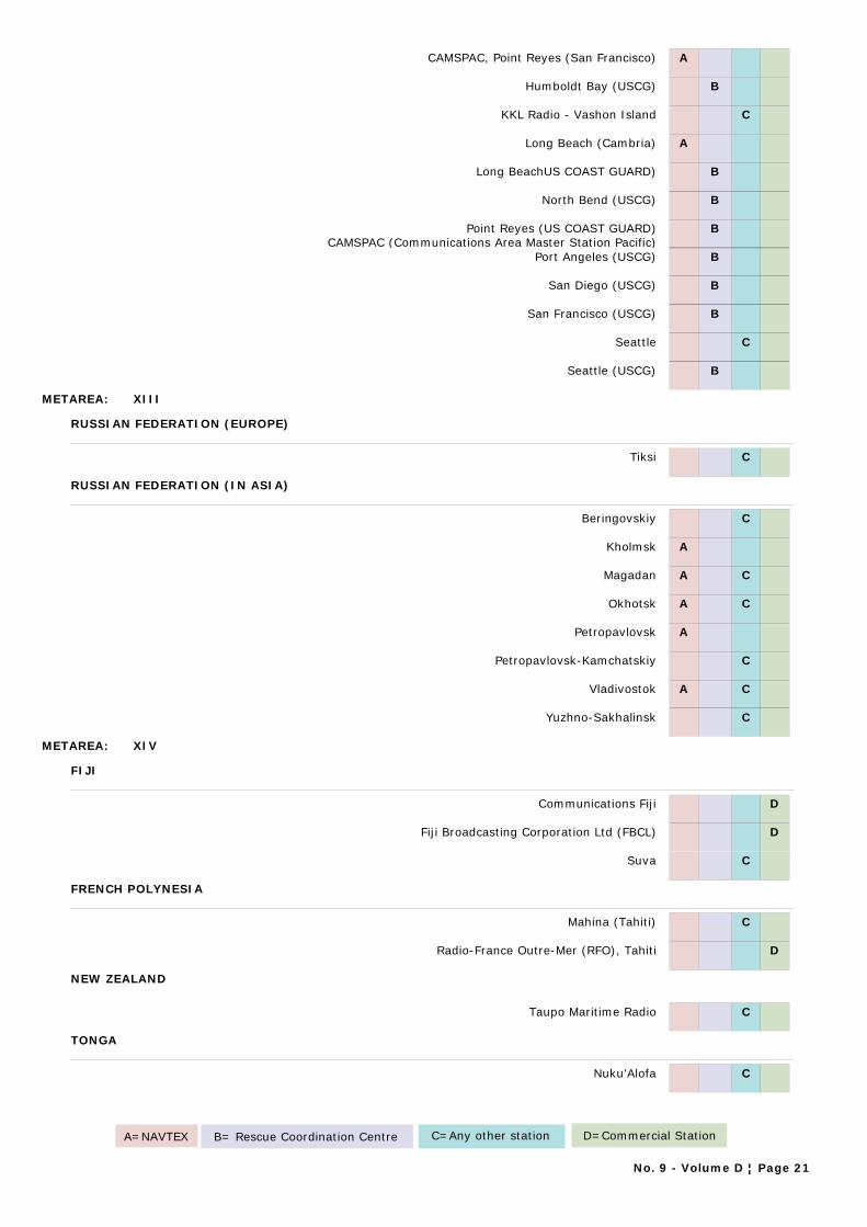
CAMSPAC, Point Reyes (San Francisco) A
Humboldt Bay (USCG) B
KKL Radio - Vashon Island C
Long Beach (Cambria) A
Long BeachUS COAST GUARD) B
North Bend (USCG) B
Point Reyes (US COAST GUARD)CAMSPAC (Communications Area Master Station Pacific)
B
Port Angeles (USCG) B
San Diego (USCG) B
San Francisco (USCG) B
Seattle C
Seattle (USCG) B
METAREA: XIII
RUSSIAN FEDERATION (EUROPE)
Tiksi C
RUSSIAN FEDERATION (IN ASIA)
Beringovskiy C
Kholmsk A
Magadan A C
Okhotsk A C
Petropavlovsk A
Petropavlovsk-Kamchatskiy C
Vladivostok A C
Yuzhno-Sakhalinsk C
METAREA: XIV
FIJI
Communications Fiji D
Fiji Broadcasting Corporation Ltd (FBCL) D
Suva C
FRENCH POLYNESIA
Mahina (Tahiti) C
Radio-France Outre-Mer (RFO), Tahiti D
NEW ZEALAND
Taupo Maritime Radio C
TONGA
Nuku'Alofa C
A=NAVTEX B= Rescue Coordination Centre C=Any other station D=Commercial Station
No. 9 - Volume D ¦ Page 21
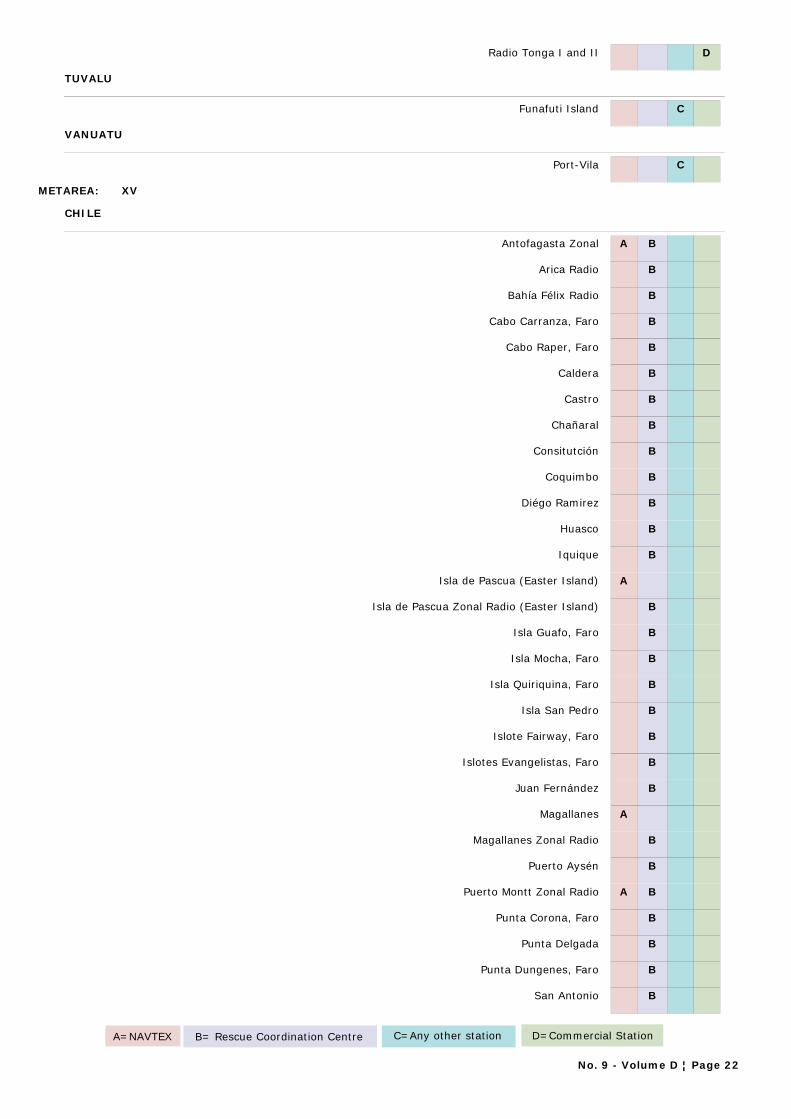
Radio Tonga I and II D
TUVALU
Funafuti Island C
VANUATU
Port-Vila C
METAREA: XV
CHILE
Antofagasta Zonal A B
Arica Radio B
Bahía Félix Radio B
Cabo Carranza, Faro B
Cabo Raper, Faro B
Caldera B
Castro B
Chañaral B
Consitutción B
Coquimbo B
Diégo Ramirez B
Huasco B
Iquique B
Isla de Pascua (Easter Island) A
Isla de Pascua Zonal Radio (Easter Island) B
Isla Guafo, Faro B
Isla Mocha, Faro B
Isla Quiriquina, Faro B
Isla San Pedro B
Islote Fairway, Faro B
Islotes Evangelistas, Faro B
Juan Fernández B
Magallanes A
Magallanes Zonal Radio B
Puerto Aysén B
Puerto Montt Zonal Radio A B
Punta Corona, Faro B
Punta Delgada B
Punta Dungenes, Faro B
San Antonio B
A=NAVTEX B= Rescue Coordination Centre C=Any other station D=Commercial Station
No. 9 - Volume D ¦ Page 22
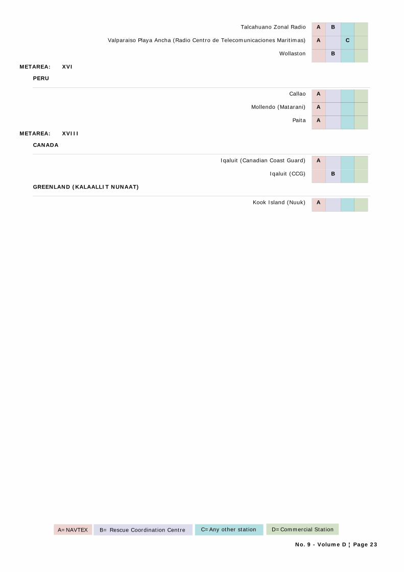
Talcahuano Zonal Radio A B
Valparaiso Playa Ancha (Radio Centro de Telecomunicaciones Maritimas) A C
Wollaston B
METAREA: XVI
PERU
Callao A
Mollendo (Matarani) A
Paita A
METAREA: XVIII
CANADA
Iqaluit (Canadian Coast Guard) A
Iqaluit (CCG) B
GREENLAND (KALAALLIT NUNAAT)
Kook Island (Nuuk) A
A=NAVTEX B= Rescue Coordination Centre C=Any other station D=Commercial Station
No. 9 - Volume D ¦ Page 23

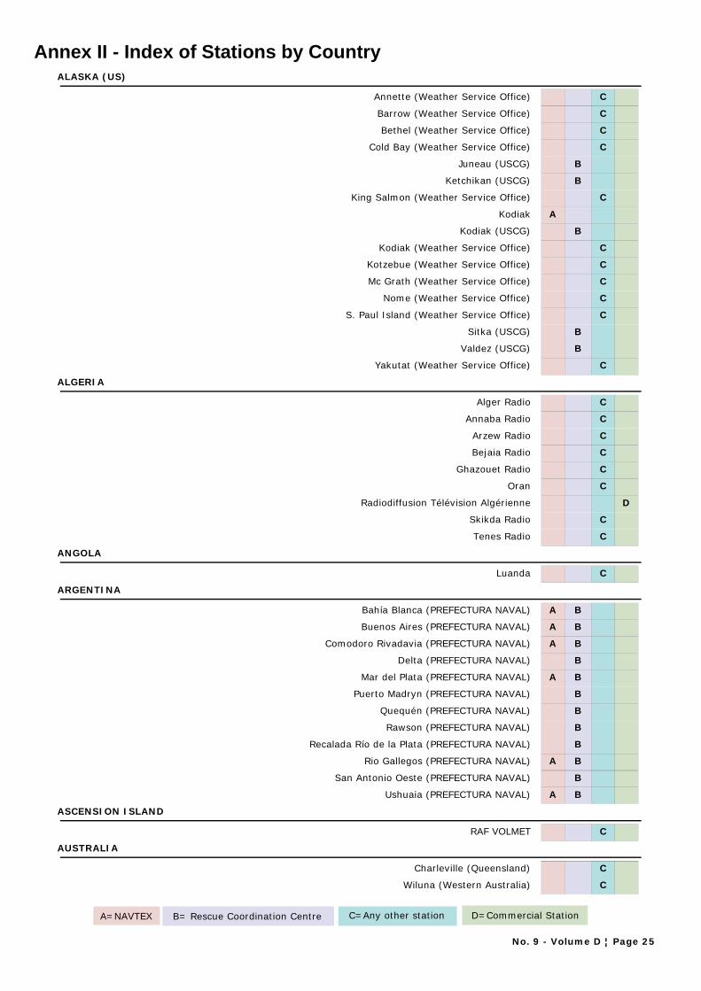
Annex II - Index of Stations by CountryALASKA (US)
Annette (Weather Service Office) C
Barrow (Weather Service Office) C
Bethel (Weather Service Office) C
Cold Bay (Weather Service Office) C
Juneau (USCG) B
Ketchikan (USCG) B
King Salmon (Weather Service Office) C
Kodiak A
Kodiak (USCG) B
Kodiak (Weather Service Office) C
Kotzebue (Weather Service Office) C
Mc Grath (Weather Service Office) C
Nome (Weather Service Office) C
S. Paul Island (Weather Service Office) C
Sitka (USCG) B
Valdez (USCG) B
Yakutat (Weather Service Office) C
ALGERIA
Alger Radio C
Annaba Radio C
Arzew Radio C
Bejaia Radio C
Ghazouet Radio C
Oran C
Radiodiffusion Télévision Algérienne D
Skikda Radio C
Tenes Radio C
ANGOLA
Luanda C
ARGENTINA
Bahía Blanca (PREFECTURA NAVAL) A B
Buenos Aires (PREFECTURA NAVAL) A B
Comodoro Rivadavia (PREFECTURA NAVAL) A B
Delta (PREFECTURA NAVAL) B
Mar del Plata (PREFECTURA NAVAL) A B
Puerto Madryn (PREFECTURA NAVAL) B
Quequén (PREFECTURA NAVAL) B
Rawson (PREFECTURA NAVAL) B
Recalada Río de la Plata (PREFECTURA NAVAL) B
Rio Gallegos (PREFECTURA NAVAL) A B
San Antonio Oeste (PREFECTURA NAVAL) B
Ushuaia (PREFECTURA NAVAL) A B
ASCENSION ISLAND
RAF VOLMET C
AUSTRALIA
Charleville (Queensland) C
Wiluna (Western Australia) C
A=NAVTEX B= Rescue Coordination Centre C=Any other station D=Commercial Station
No. 9 - Volume D ¦ Page 25
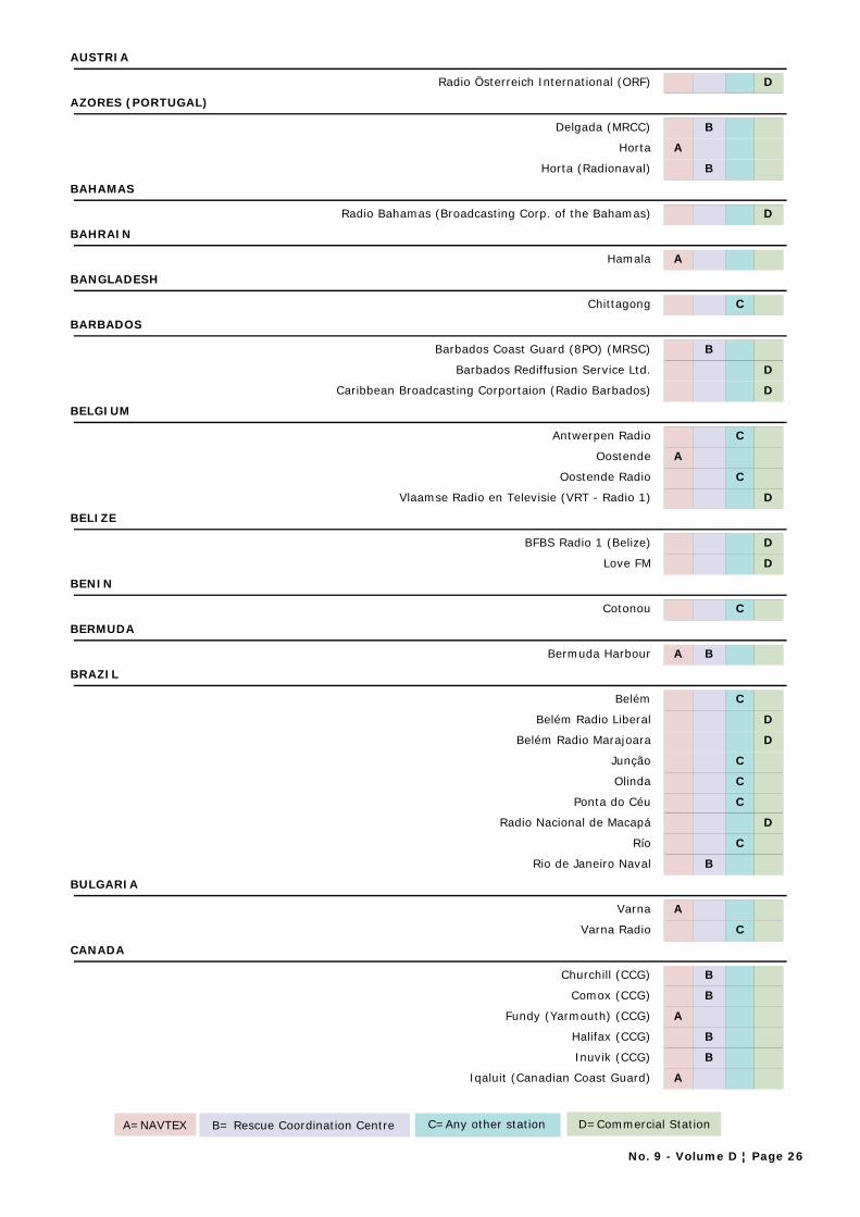
AUSTRIA
Radio Österreich International (ORF) D
AZORES (PORTUGAL)
Delgada (MRCC) B
Horta A
Horta (Radionaval) B
BAHAMAS
Radio Bahamas (Broadcasting Corp. of the Bahamas) D
BAHRAIN
Hamala A
BANGLADESH
Chittagong C
BARBADOS
Barbados Coast Guard (8PO) (MRSC) B
Barbados Rediffusion Service Ltd. D
Caribbean Broadcasting Corportaion (Radio Barbados) D
BELGIUM
Antwerpen Radio C
Oostende A
Oostende Radio C
Vlaamse Radio en Televisie (VRT - Radio 1) D
BELIZE
BFBS Radio 1 (Belize) D
Love FM D
BENIN
Cotonou C
BERMUDA
Bermuda Harbour A B
BRAZIL
Belém C
Belém Radio Liberal D
Belém Radio Marajoara D
Junção C
Olinda C
Ponta do Céu C
Radio Nacional de Macapá D
Río C
Rio de Janeiro Naval B
BULGARIA
Varna A
Varna Radio C
CANADA
Churchill (CCG) B
Comox (CCG) B
Fundy (Yarmouth) (CCG) A
Halifax (CCG) B
Inuvik (CCG) B
Iqaluit (Canadian Coast Guard) A
A=NAVTEX B= Rescue Coordination Centre C=Any other station D=Commercial Station
No. 9 - Volume D ¦ Page 26

Iqaluit (CCG) B
Labrador (CCG) A B
Les Escoumins (CCG) B
Montréal (CCG) B
Placentia (CCG) B
Port aux Basques (CCG) B
Prescott (Wiarton) (CCG) A B
Prince Rupert (CCG) A B
Québec (CCG) B
Resolute (CCG) B
Rivière-au-Renard (CCG) A B
Saint Anthony(CCG) B
Saint John's, New Brunswick (CCG) B
Saint John's, Newfoundland (CCG) A B
Sarnia (CCG) B
Sydney (CCG) A B
Thunder Bay (CCG) A B
Tofino (CCG) A B
Vancouver (CCG) B
Victoria (CCG) B
CANARY ISLANDS (SPAIN)
Las Palmas A
Las Palmas (CCR GROUP V) C
Las Palmas (MRCC) B
Tenerife (CCR) C
Tenerife (MRCC) B
CHILE
Antofagasta Zonal A B
Arica Radio B
Bahía Félix Radio B
Cabo Carranza, Faro B
Cabo Raper, Faro B
Caldera B
Castro B
Chañaral B
Consitutción B
Coquimbo B
Diégo Ramirez B
Huasco B
Iquique B
Isla de Pascua (Easter Island) A
Isla de Pascua Zonal Radio (Easter Island) B
Isla Guafo, Faro B
Isla Mocha, Faro B
Isla Quiriquina, Faro B
Isla San Pedro B
Islote Fairway, Faro B
Islotes Evangelistas, Faro B
Juan Fernández B
Magallanes A
A=NAVTEX B= Rescue Coordination Centre C=Any other station D=Commercial Station
No. 9 - Volume D ¦ Page 27
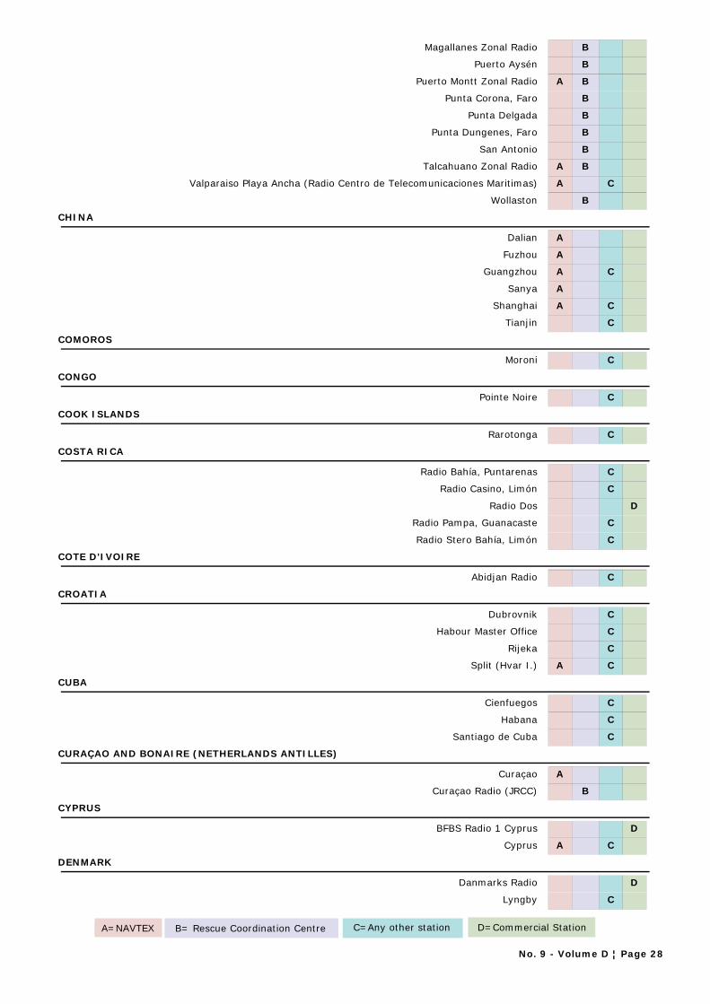
Magallanes Zonal Radio B
Puerto Aysén B
Puerto Montt Zonal Radio A B
Punta Corona, Faro B
Punta Delgada B
Punta Dungenes, Faro B
San Antonio B
Talcahuano Zonal Radio A B
Valparaiso Playa Ancha (Radio Centro de Telecomunicaciones Maritimas) A C
Wollaston B
CHINA
Dalian A
Fuzhou A
Guangzhou A C
Sanya A
Shanghai A C
Tianjin C
COMOROS
Moroni C
CONGO
Pointe Noire C
COOK ISLANDS
Rarotonga C
COSTA RICA
Radio Bahía, Puntarenas C
Radio Casino, Limón C
Radio Dos D
Radio Pampa, Guanacaste C
Radio Stero Bahía, Limón C
COTE D'IVOIRE
Abidjan Radio C
CROATIA
Dubrovnik C
Habour Master Office C
Rijeka C
Split (Hvar I.) A C
CUBA
Cienfuegos C
Habana C
Santiago de Cuba C
CURAÇAO AND BONAIRE (NETHERLANDS ANTILLES)
Curaçao A
Curaçao Radio (JRCC) B
CYPRUS
BFBS Radio 1 Cyprus D
Cyprus A C
DENMARK
Danmarks Radio D
Lyngby C
A=NAVTEX B= Rescue Coordination Centre C=Any other station D=Commercial Station
No. 9 - Volume D ¦ Page 28
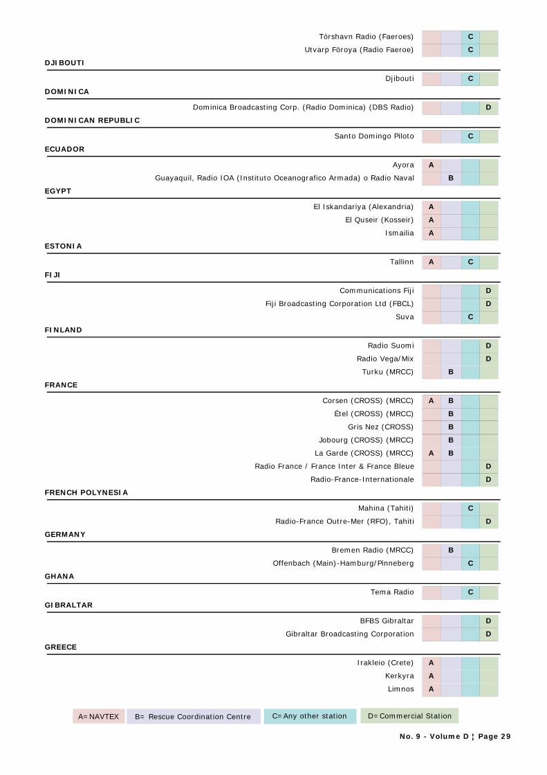
Tórshavn Radio (Faeroes) C
Utvarp Föroya (Radio Faeroe) C
DJIBOUTI
Djibouti C
DOMINICA
Dominica Broadcasting Corp. (Radio Dominica) (DBS Radio) D
DOMINICAN REPUBLIC
Santo Domingo Piloto C
ECUADOR
Ayora A
Guayaquil, Radio IOA (Instituto Oceanografico Armada) o Radio Naval B
EGYPT
El Iskandariya (Alexandria) A
El Quseir (Kosseir) A
Ismailia A
ESTONIA
Tallinn A C
FIJI
Communications Fiji D
Fiji Broadcasting Corporation Ltd (FBCL) D
Suva C
FINLAND
Radio Suomi D
Radio Vega/Mix D
Turku (MRCC) B
FRANCE
Corsen (CROSS) (MRCC) A B
Étel (CROSS) (MRCC) B
Gris Nez (CROSS) B
Jobourg (CROSS) (MRCC) B
La Garde (CROSS) (MRCC) A B
Radio France / France Inter & France Bleue D
Radio-France-Internationale D
FRENCH POLYNESIA
Mahina (Tahiti) C
Radio-France Outre-Mer (RFO), Tahiti D
GERMANY
Bremen Radio (MRCC) B
Offenbach (Main)-Hamburg/Pinneberg C
GHANA
Tema Radio C
GIBRALTAR
BFBS Gibraltar D
Gibraltar Broadcasting Corporation D
GREECE
Irakleio (Crete) A
Kerkyra A
Limnos A
A=NAVTEX B= Rescue Coordination Centre C=Any other station D=Commercial Station
No. 9 - Volume D ¦ Page 29
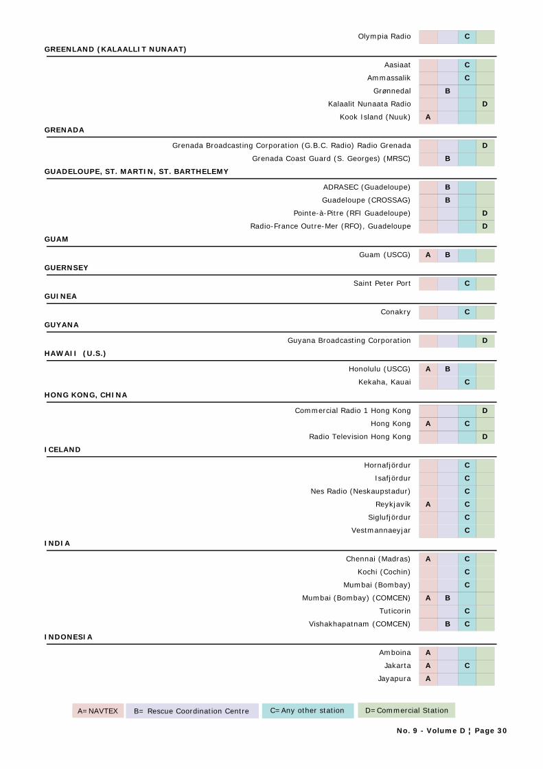
Olympia Radio C
GREENLAND (KALAALLIT NUNAAT)
Aasiaat C
Ammassalik C
Grønnedal B
Kalaalit Nunaata Radio D
Kook Island (Nuuk) A
GRENADA
Grenada Broadcasting Corporation (G.B.C. Radio) Radio Grenada D
Grenada Coast Guard (S. Georges) (MRSC) B
GUADELOUPE, ST. MARTIN, ST. BARTHELEMY
ADRASEC (Guadeloupe) B
Guadeloupe (CROSSAG) B
Pointe-à-Pitre (RFI Guadeloupe) D
Radio-France Outre-Mer (RFO), Guadeloupe D
GUAM
Guam (USCG) A B
GUERNSEY
Saint Peter Port C
GUINEA
Conakry C
GUYANA
Guyana Broadcasting Corporation D
HAWAII (U.S.)
Honolulu (USCG) A B
Kekaha, Kauai C
HONG KONG, CHINA
Commercial Radio 1 Hong Kong D
Hong Kong A C
Radio Television Hong Kong D
ICELAND
Hornafjördur C
Isafjördur C
Nes Radio (Neskaupstadur) C
Reykjavík A C
Siglufjördur C
Vestmannaeyjar C
INDIA
Chennai (Madras) A C
Kochi (Cochin) C
Mumbai (Bombay) C
Mumbai (Bombay) (COMCEN) A B
Tuticorin C
Vishakhapatnam (COMCEN) B C
INDONESIA
Amboina A
Jakarta A C
Jayapura A
A=NAVTEX B= Rescue Coordination Centre C=Any other station D=Commercial Station
No. 9 - Volume D ¦ Page 30
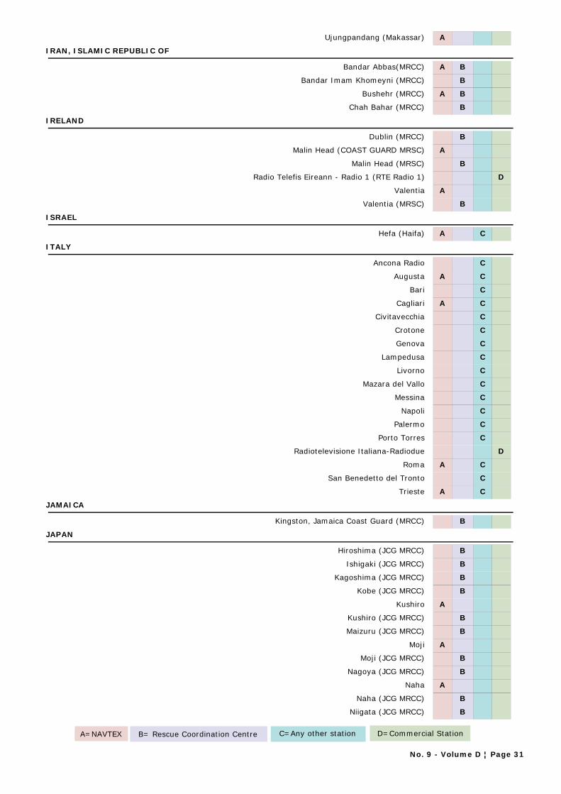
Ujungpandang (Makassar) A
IRAN, ISLAMIC REPUBLIC OF
Bandar Abbas(MRCC) A B
Bandar Imam Khomeyni (MRCC) B
Bushehr (MRCC) A B
Chah Bahar (MRCC) B
IRELAND
Dublin (MRCC) B
Malin Head (COAST GUARD MRSC) A
Malin Head (MRSC) B
Radio Telefis Eireann - Radio 1 (RTE Radio 1) D
Valentia A
Valentia (MRSC) B
ISRAEL
Hefa (Haifa) A C
ITALY
Ancona Radio C
Augusta A C
Bari C
Cagliari A C
Civitavecchia C
Crotone C
Genova C
Lampedusa C
Livorno C
Mazara del Vallo C
Messina C
Napoli C
Palermo C
Porto Torres C
Radiotelevisione Italiana-Radiodue D
Roma A C
San Benedetto del Tronto C
Trieste A C
JAMAICA
Kingston, Jamaica Coast Guard (MRCC) B
JAPAN
Hiroshima (JCG MRCC) B
Ishigaki (JCG MRCC) B
Kagoshima (JCG MRCC) B
Kobe (JCG MRCC) B
Kushiro A
Kushiro (JCG MRCC) B
Maizuru (JCG MRCC) B
Moji A
Moji (JCG MRCC) B
Nagoya (JCG MRCC) B
Naha A
Naha (JCG MRCC) B
Niigata (JCG MRCC) B
A=NAVTEX B= Rescue Coordination Centre C=Any other station D=Commercial Station
No. 9 - Volume D ¦ Page 31
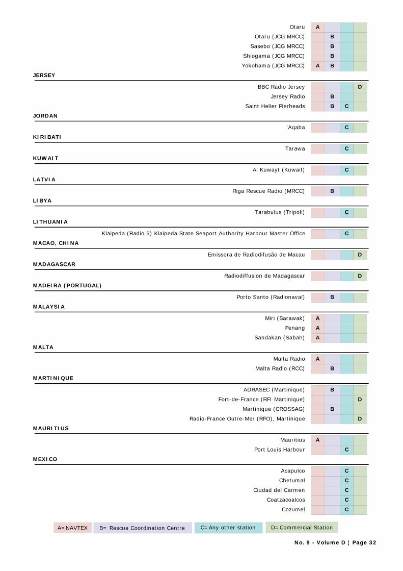
Otaru A
Otaru (JCG MRCC) B
Sasebo (JCG MRCC) B
Shiogama (JCG MRCC) B
Yokohama (JCG MRCC) A B
JERSEY
BBC Radio Jersey D
Jersey Radio B
Saint Helier Pierheads B C
JORDAN
'Aqaba C
KIRIBATI
Tarawa C
KUWAIT
Al Kuwayt (Kuwait) C
LATVIA
Riga Rescue Radio (MRCC) B
LIBYA
Tarabulus (Tripoli) C
LITHUANIA
Klaipeda (Radio 5) Klaipeda State Seaport Authority Harbour Master Office C
MACAO, CHINA
Emissora de Radiodifusão de Macau D
MADAGASCAR
Radiodiffusion de Madagascar D
MADEIRA (PORTUGAL)
Porto Santo (Radionaval) B
MALAYSIA
Miri (Sarawak) A
Penang A
Sandakan (Sabah) A
MALTA
Malta Radio A
Malta Radio (RCC) B
MARTINIQUE
ADRASEC (Martinique) B
Fort-de-France (RFI Martinique) D
Martinique (CROSSAG) B
Radio-France Outre-Mer (RFO), Martinique D
MAURITIUS
Mauritius A
Port Louis Harbour C
MEXICO
Acapulco C
Chetumal C
Ciudad del Carmen C
Coatzacoalcos C
Cozumel C
A=NAVTEX B= Rescue Coordination Centre C=Any other station D=Commercial Station
No. 9 - Volume D ¦ Page 32
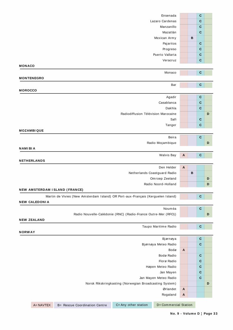
Ensenada C
Lazaro Cardenas C
Manzanillo C
Mazatlán C
Mexican Army B
Pajaritos C
Progreso C
Puerto Vallarta C
Veracruz C
MONACO
Monaco C
MONTENEGRO
Bar C
MOROCCO
Agadir C
Casablanca C
Dakhla C
Radiodiffusion Télévision Marocaine D
Safi C
Tanger C
MOZAMBIQUE
Beira C
Radio Moçambique D
NAMIBIA
Walvis Bay A C
NETHERLANDS
Den Helder A
Netherlands Coastguard Radio B
Omroep Zeeland D
Radio Noord-Holland D
NEW AMSTERDAM ISLAND (FRANCE)
Martin de Vivies (New Amsterdam Island) OR Port-aux-Français (Kerguelen Island) C
NEW CALEDONIA
Nouméa C
Radio Nouvelle-Calédonie (RNC) (Radio-France Outre-Mer (RFO)) D
NEW ZEALAND
Taupo Maritime Radio C
NORWAY
Bjørnøya C
Bjørnøya Meteo Radio C
Bodø A
Bodø Radio C
Florø Radio C
Høpen Meteo Radio C
Jan Mayen C
Jan Mayen Meteo Radio C
Norsk Rikskringkasting (Norwegian Broadcasting System) D
Ørlandet A
Rogaland A
A=NAVTEX B= Rescue Coordination Centre C=Any other station D=Commercial Station
No. 9 - Volume D ¦ Page 33
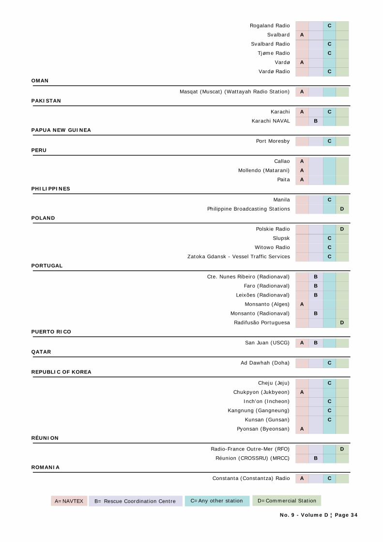
Rogaland Radio C
Svalbard A
Svalbard Radio C
Tjøme Radio C
Vardø A
Vardø Radio C
OMAN
Masqat (Muscat) (Wattayah Radio Station) A
PAKISTAN
Karachi A C
Karachi NAVAL B
PAPUA NEW GUINEA
Port Moresby C
PERU
Callao A
Mollendo (Matarani) A
Paita A
PHILIPPINES
Manila C
Philippine Broadcasting Stations D
POLAND
Polskie Radio D
Slupsk C
Witowo Radio C
Zatoka Gdansk - Vessel Traffic Services C
PORTUGAL
Cte. Nunes Ribeiro (Radionaval) B
Faro (Radionaval) B
Leixões (Radionaval) B
Monsanto (Alges) A
Monsanto (Radionaval) B
Radifusão Portuguesa D
PUERTO RICO
San Juan (USCG) A B
QATAR
Ad Dawhah (Doha) C
REPUBLIC OF KOREA
Cheju (Jeju) C
Chukpyon (Jukbyeon) A
Inch'on (Incheon) C
Kangnung (Gangneung) C
Kunsan (Gunsan) C
Pyonsan (Byeonsan) A
RÉUNION
Radio-France Outre-Mer (RFO) D
Réunion (CROSSRU) (MRCC) B
ROMANIA
Constanta (Constantza) Radio A C
A=NAVTEX B= Rescue Coordination Centre C=Any other station D=Commercial Station
No. 9 - Volume D ¦ Page 34
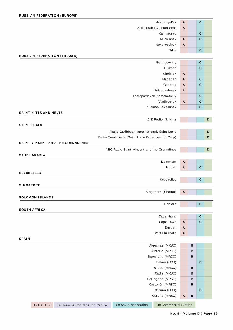
RUSSIAN FEDERATION (EUROPE)
Arkhangel'sk A C
Astrakhan (Caspian Sea) A
Kaliningrad C
Murmansk A C
Novorossiysk A
Tiksi C
RUSSIAN FEDERATION (IN ASIA)
Beringovskiy C
Dickson C
Kholmsk A
Magadan A C
Okhotsk A C
Petropavlovsk A
Petropavlovsk-Kamchatskiy C
Vladivostok A C
Yuzhno-Sakhalinsk C
SAINT KITTS AND NEVIS
ZIZ Radio, S. Kitts D
SAINT LUCIA
Radio Caribbean International, Saint Lucia D
Radio Saint Lucia (Saint Lucia Broadcasting Corp) D
SAINT VINCENT AND THE GRENADINES
NBC Radio Saint-Vincent and the Grenadines D
SAUDI ARABIA
Dammam A
Jeddah A C
SEYCHELLES
Seychelles C
SINGAPORE
Singapore (Changi) A
SOLOMON ISLANDS
Honiara C
SOUTH AFRICA
Cape Naval C
Cape Town A C
Durban A
Port Elizabeth A
SPAIN
Algeciras (MRSC) B
Almería (MRCC) B
Barcelona (MRCC) B
Bilbao (CCR) C
Bilbao (MRCC) B
Cádiz (MRSC) B
Cartagena (MRSC) B
Castellón (MRSC) B
Coruña (CCR) C
Coruña (MRSC) A B
A=NAVTEX B= Rescue Coordination Centre C=Any other station D=Commercial Station
No. 9 - Volume D ¦ Page 35
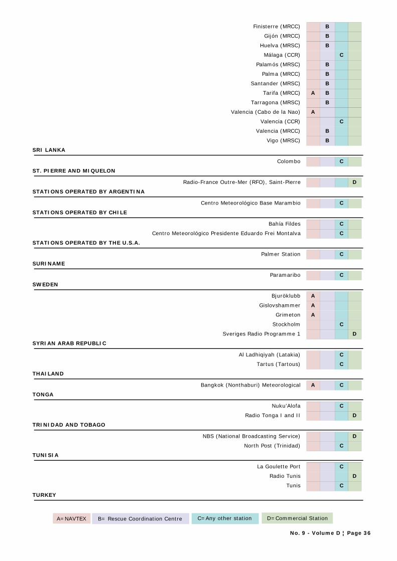
Finisterre (MRCC) B
Gijón (MRCC) B
Huelva (MRSC) B
Málaga (CCR) C
Palamós (MRSC) B
Palma (MRCC) B
Santander (MRSC) B
Tarifa (MRCC) A B
Tarragona (MRSC) B
Valencia (Cabo de la Nao) A
Valencia (CCR) C
Valencia (MRCC) B
Vigo (MRSC) B
SRI LANKA
Colombo C
ST. PIERRE AND MIQUELON
Radio-France Outre-Mer (RFO), Saint-Pierre D
STATIONS OPERATED BY ARGENTINA
Centro Meteorológico Base Marambio C
STATIONS OPERATED BY CHILE
Bahía Fildes C
Centro Meteorológico Presidente Eduardo Frei Montalva C
STATIONS OPERATED BY THE U.S.A.
Palmer Station C
SURINAME
Paramaribo C
SWEDEN
Bjuröklubb A
Gislovshammer A
Grimeton A
Stockholm C
Sveriges Radio Programme 1 D
SYRIAN ARAB REPUBLIC
Al Ladhiqiyah (Latakia) C
Tartus (Tartous) C
THAILAND
Bangkok (Nonthaburi) Meteorological A C
TONGA
Nuku'Alofa C
Radio Tonga I and II D
TRINIDAD AND TOBAGO
NBS (National Broadcasting Service) D
North Post (Trinidad) C
TUNISIA
La Goulette Port C
Radio Tunis D
Tunis C
TURKEY
A=NAVTEX B= Rescue Coordination Centre C=Any other station D=Commercial Station
No. 9 - Volume D ¦ Page 36
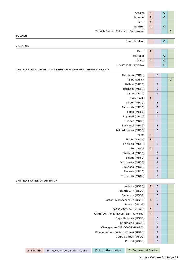
Antalya A C
Istanbul A C
Izmir A
Samsun A C
Turkish Radio - Television Corporation D
TUVALU
Funafuti Island C
UKRAINE
Kerch A
Mariupol' C
Odesa A C
Sevastopol, Krymskoi C
UNITED KINGDOM OF GREAT BRITAIN AND NORTHERN IRELAND
Aberdeen (MRCC) B
BBC Radio 4 D
Belfast (MRSC) B
Brixham (MRSC) B
Clyde (MRCC) B
Cullercoats A
Dover (MRCC) B
Falmouth (MRCC) B
Forth (MRSC) B
Holyhead (MRSC) B
Humber (MRCC) B
Liverpool (MRSC) B
Milford Haven (MRSC) B
Niton A
Niton (France) A
Portland (MRSC) B
Portpatrick A
Shetland (MRSC) B
Solent (MRSC) B
Stornoway (MRSC) B
Swansea (MRCC) B
Thames (MRCC) B
Yarmouth (MRCC) B
UNITED STATES OF AMERICA
Astoria (USCG) A B
Atlantic City (USCG) B
Baltimore (USCG) B
Boston, Massachusetts (USCG) A B
Buffalo (USCG) B
CAMSLANT (Portsmouth) A
CAMSPAC, Point Reyes (San Francisco) A
Cape Hatteras (USCG) B
Charleston (USCG) B
Chesapeake (US COAST GUARD) B
Chincoteague (Eastern Shore) (USCG) B
Corpus Christi (USCG) B
Detroit (USCG) B
A=NAVTEX B= Rescue Coordination Centre C=Any other station D=Commercial Station
No. 9 - Volume D ¦ Page 37

Fort Macon (USCG) B
Galveston (USCG) B
Grand Haven (USCG) B
Hampton Roads (USCG) B
Humboldt Bay (USCG) B
Key West (USCG) B
KKL Radio - Vashon Island C
Long Beach (Cambria) A
Long BeachUS COAST GUARD) B
Long Island Sound (USCG) B
Mayport (USCG) B
Miami (USCG) A B
Milwaukee (USCG) B
Mobile C
Mobile (USCG) B
Moriches (USCG) B
New Orleans (USCG) A B
New York (USCG) B
North Bend (USCG) B
Philadelphia (USCG) B
Point Reyes (US COAST GUARD) B
Port Angeles (USCG) B
Portland (USCG) B
Saint Petersburg (USCG) B
San Diego (USCG) B
San Francisco (USCG) B
Sandy Hook (USCG) B
Sault Sainte Marie (USCG) B
Savannah A
Seattle C
Seattle (USCG) B
Soutwest Harbour (USCG) B
Woods Hole (USCG) B
URUGUAY
Atlántida (PREFECTURA) B
Carmelo (PREFECTURA) B
Colonia (PREFECTURA) B
Control Montevideo (PREFECTURA) B
Fray Bentos (PREFECTURA) B
La Paloma A B
Nueva Palmira (PREFECTURA) B
Paysandú (PREFECTURA) B
Piriápolis (PREFECTURA) B
Puerto Sauce (PREFECTURA) B
Punta Carretas C
Punta del Este (PREFECTURA) B
Rio Branco (PREFECTURA) B
Salto (PREFECTURA) B
Sodre B
Trouville (PREFECTURA) B
A=NAVTEX B= Rescue Coordination Centre C=Any other station D=Commercial Station
No. 9 - Volume D ¦ Page 38
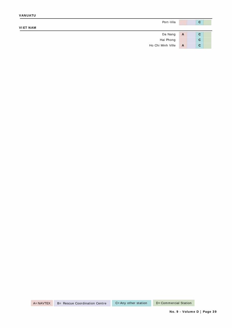
VANUATU
Port-Vila C
VIET NAM
Da Nang A C
Hai Phong C
Ho Chi Minh Ville A C
A=NAVTEX B= Rescue Coordination Centre C=Any other station D=Commercial Station
No. 9 - Volume D ¦ Page 39

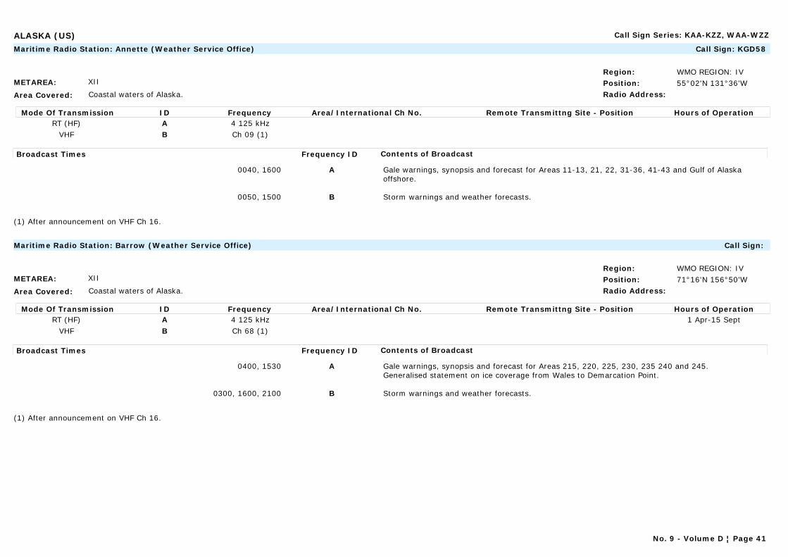
ALASKA (US) Call Sign Series: KAA-KZZ, WAA-WZZ
METAREA: XII
Area Covered: Coastal waters of Alaska.
Region: WMO REGION: IVPosition: 55°02'N 131°36'WRadio Address:
Maritime Radio Station: Annette (Weather Service Office) Call Sign: KGD58
Mode Of Transmission ID Frequency Area/International Ch No. Remote Transmittng Site - Position Hours of OperationRT (HF) A 4 125 kHz
VHF B Ch 09 (1)
Broadcast Times Frequency ID Contents of Broadcast
0040, 1600 A Gale warnings, synopsis and forecast for Areas 11-13, 21, 22, 31-36, 41-43 and Gulf of Alaska offshore.
0050, 1500 B Storm warnings and weather forecasts.
(1) After announcement on VHF Ch 16.
METAREA: XII
Area Covered: Coastal waters of Alaska.
Region: WMO REGION: IVPosition: 71°16'N 156°50'WRadio Address:
Maritime Radio Station: Barrow (Weather Service Office) Call Sign:
Mode Of Transmission ID Frequency Area/International Ch No. Remote Transmittng Site - Position Hours of OperationRT (HF) A 4 125 kHz 1 Apr-15 Sept
VHF B Ch 68 (1)
Broadcast Times Frequency ID Contents of Broadcast
0400, 1530 A Gale warnings, synopsis and forecast for Areas 215, 220, 225, 230, 235 240 and 245.Generalised statement on ice coverage from Wales to Demarcation Point.
0300, 1600, 2100 B Storm warnings and weather forecasts.
(1) After announcement on VHF Ch 16.
No. 9 - Volume D ¦ Page 41

ALASKA (US) Call Sign Series: KAA-KZZ, WAA-WZZ
METAREA: XII
Area Covered: Coastal waters of Alaska.
Region: WMO REGION: IVPosition: 60°49'N 161°49'WRadio Address:
Maritime Radio Station: Bethel (Weather Service Office) Call Sign:
Mode Of Transmission ID Frequency Area/International Ch No. Remote Transmittng Site - Position Hours of OperationVHF A Ch 66 (1)
Broadcast Times Frequency ID Contents of Broadcast
0100, 1630 A Storm warnings and weather forecasts.
(1) After announcement on VHF Ch 16 / 68.
METAREA: XII
Area Covered: Coastal waters of Alaska.
Region: WMO REGION: IVPosition: 55°15'N 162°46'WRadio Address:
Maritime Radio Station: Cold Bay (Weather Service Office) Call Sign: KCI95
Mode Of Transmission ID Frequency Area/International Ch No. Remote Transmittng Site - Position Hours of OperationRT (HF) A 4 125 kHz
VHF B Ch 09 (1)
Broadcast Times Frequency ID Contents of Broadcast
0530, 1930 A Gale warnings, synopsis and forecast for Areas 150, 155, 160, 165, 170-172, 175, 176, 179, 180 and Bearing Sea Offshore.
0215, 1815 B Storm warnings and weather forecasts.
(1) After announcement on VHF Ch 16.
No. 9 - Volume D ¦ Page 42
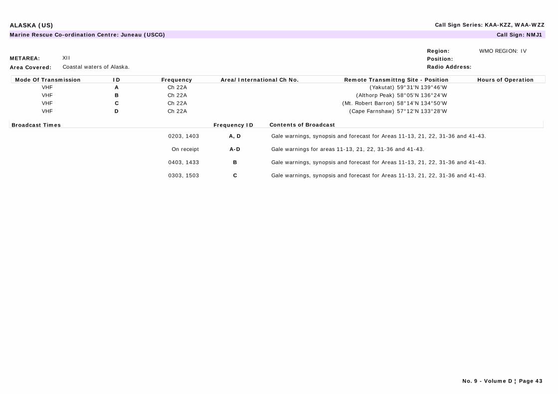
ALASKA (US) Call Sign Series: KAA-KZZ, WAA-WZZ
METAREA: XII
Area Covered: Coastal waters of Alaska.
Region: WMO REGION: IVPosition:Radio Address:
Marine Rescue Co-ordination Centre: Juneau (USCG) Call Sign: NMJ1
Mode Of Transmission ID Frequency Area/International Ch No. Remote Transmittng Site - Position Hours of OperationVHF A Ch 22A (Yakutat) 59°31'N 139°46'WVHF B Ch 22A (Althorp Peak) 58°05'N 136°24'WVHF C Ch 22A (Mt. Robert Barron) 58°14'N 134°50'WVHF D Ch 22A (Cape Farnshaw) 57°12'N 133°28'W
Broadcast Times Frequency ID Contents of Broadcast
0203, 1403 A, D Gale warnings, synopsis and forecast for Areas 11-13, 21, 22, 31-36 and 41-43.
On receipt A-D Gale warnings for areas 11-13, 21, 22, 31-36 and 41-43.
0403, 1433 B Gale warnings, synopsis and forecast for Areas 11-13, 21, 22, 31-36 and 41-43.
0303, 1503 C Gale warnings, synopsis and forecast for Areas 11-13, 21, 22, 31-36 and 41-43.
No. 9 - Volume D ¦ Page 43

ALASKA (US) Call Sign Series: KAA-KZZ, WAA-WZZ
METAREA: XII
Area Covered: Coastal waters of Alaska.
Region: WMO REGION: IVPosition:Radio Address:
Marine Rescue Co-ordination Centre: Ketchikan (USCG) Call Sign: NMJ2
Mode Of Transmission ID Frequency Area/International Ch No. Remote Transmittng Site - Position Hours of OperationVHF A Ch 22A (Zarembo I.) 56°21'N 132°52'WVHF B Ch 22A (Cape Decision) 56°00'N 134°08'WVHF C Ch 22A (Gravina I.) 55°22'N 131°48'WVHF D Ch 22A (Sukkwan I.) 55°06'N 132°46'WVHF E Ch 22A (Mary I.) 55°05'N 131°13'W
Broadcast Times Frequency ID Contents of Broadcast
0215, 1415 A, D Gale warnings, synopsis and forecast for Areas 11-13, 21, 22, 31-36 and 41-43, 51-53, 120, 121, 125-129.Navigational warnings: Local warnings.
On receipt A-E Gale warnings for areas 11-13, 21, 22, 31-36 and 41-43, 51-53, 120, 121, 125-129.Navigational warnings: Local warnings.
0233, 1433 B, E Gale warnings, synopsis and forecast for Areas 11-13, 21, 22, 31-36 and 41-43, 51-53, 120, 121, 125-129.Navigational warnings: Local warnings.
0315, 1515 C Gale warnings, synopsis and forecast for Areas 11-13, 21, 22, 31-36 and 41-43, 51-53, 120, 121, 125-129.Navigational warnings: Local warnings.
No. 9 - Volume D ¦ Page 44
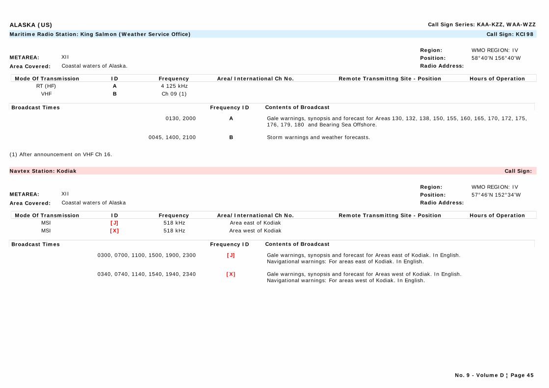
ALASKA (US) Call Sign Series: KAA-KZZ, WAA-WZZ
METAREA: XII
Area Covered: Coastal waters of Alaska.
Region: WMO REGION: IVPosition: 58°40'N 156°40'WRadio Address:
Maritime Radio Station: King Salmon (Weather Service Office) Call Sign: KCI98
Mode Of Transmission ID Frequency Area/International Ch No. Remote Transmittng Site - Position Hours of OperationRT (HF) A 4 125 kHz
VHF B Ch 09 (1)
Broadcast Times Frequency ID Contents of Broadcast
0130, 2000 A Gale warnings, synopsis and forecast for Areas 130, 132, 138, 150, 155, 160, 165, 170, 172, 175, 176, 179, 180 and Bearing Sea Offshore.
0045, 1400, 2100 B Storm warnings and weather forecasts.
(1) After announcement on VHF Ch 16.
METAREA: XII
Area Covered: Coastal waters of Alaska
Region: WMO REGION: IVPosition: 57°46'N 152°34'WRadio Address:
Navtex Station: Kodiak Call Sign:
Mode Of Transmission ID Frequency Area/International Ch No. Remote Transmittng Site - Position Hours of OperationMSI [J] 518 kHz Area east of KodiakMSI [X] 518 kHz Area west of Kodiak
Broadcast Times Frequency ID Contents of Broadcast
0300, 0700, 1100, 1500, 1900, 2300 [J] Gale warnings, synopsis and forecast for Areas east of Kodiak. In English.Navigational warnings: For areas east of Kodiak. In English.
0340, 0740, 1140, 1540, 1940, 2340 [X] Gale warnings, synopsis and forecast for Areas west of Kodiak. In English.Navigational warnings: For areas west of Kodiak. In English.
No. 9 - Volume D ¦ Page 45
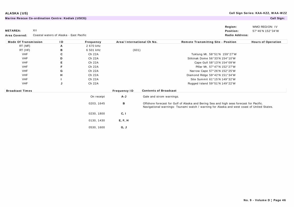
ALASKA (US) Call Sign Series: KAA-KZZ, WAA-WZZ
METAREA: XII
Area Covered: Coastal waters of Alaska - East Pacific
Region: WMO REGION: IVPosition: 57°46'N 152°34'WRadio Address:
Marine Rescue Co-ordination Centre: Kodiak (USCG) Call Sign:
Mode Of Transmission ID Frequency Area/International Ch No. Remote Transmittng Site - Position Hours of OperationRT (MF) A 2 670 kHzRT (HF) B 6 501 kHz (601)
VHF C Ch 22A Tuklung Mt. 58°51'N 159°27'WVHF D Ch 22A Sitkinak Dome 56°33'N 154°10'WVHF E Ch 22A Cape Gull 58°13'N 154°09'WVHF F Ch 22A Pillar Mt. 57°47'N 152°27'WVHF G Ch 22A Narrow Cape 57°26'N 152°25'WVHF H Ch 22A Diamond Ridge 59°42'N 151°34'WVHF I Ch 22A Site Summit 61°15'N 149°32'WVHF J Ch 22A Rugged Island 59°51'N 149°22'W
Broadcast Times Frequency ID Contents of Broadcast
On receipt A-J Gale and strom warnings.
0203, 1645 B Offshore forecast for Gulf of Alaska and Bering Sea and high seas forecast for Pacific.Navigational warnings: Tsunami watch / warning for Alaska and west coast of United States.
0230, 1800 C, I
0130, 1430 E, F, H
0530, 1600 G, J
No. 9 - Volume D ¦ Page 46
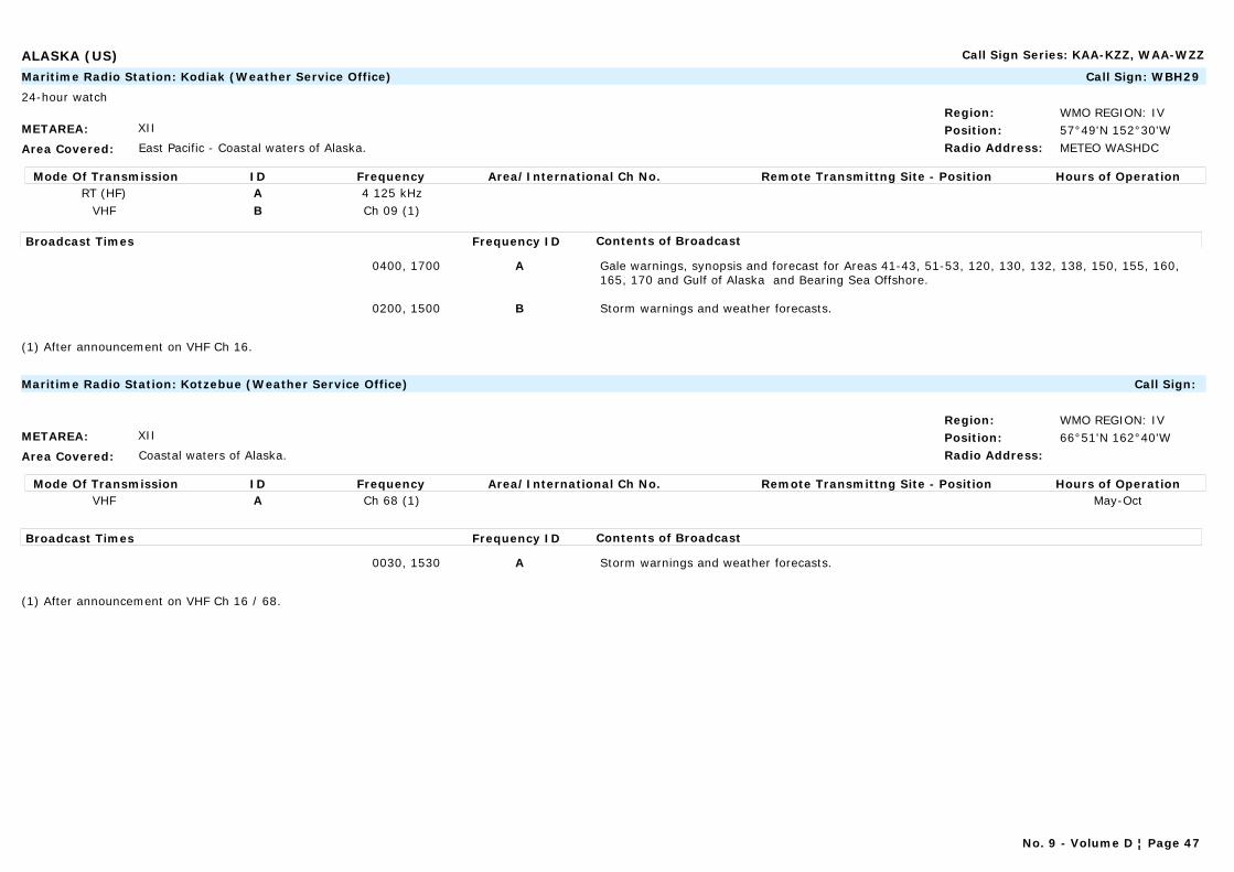
ALASKA (US) Call Sign Series: KAA-KZZ, WAA-WZZ
METAREA: XII
Area Covered: East Pacific - Coastal waters of Alaska.
Region: WMO REGION: IVPosition: 57°49'N 152°30'WRadio Address: METEO WASHDC
Maritime Radio Station: Kodiak (Weather Service Office) Call Sign: WBH29
24-hour watch
Mode Of Transmission ID Frequency Area/International Ch No. Remote Transmittng Site - Position Hours of OperationRT (HF) A 4 125 kHz
VHF B Ch 09 (1)
Broadcast Times Frequency ID Contents of Broadcast
0400, 1700 A Gale warnings, synopsis and forecast for Areas 41-43, 51-53, 120, 130, 132, 138, 150, 155, 160, 165, 170 and Gulf of Alaska and Bearing Sea Offshore.
0200, 1500 B Storm warnings and weather forecasts.
(1) After announcement on VHF Ch 16.
METAREA: XII
Area Covered: Coastal waters of Alaska.
Region: WMO REGION: IVPosition: 66°51'N 162°40'WRadio Address:
Maritime Radio Station: Kotzebue (Weather Service Office) Call Sign:
Mode Of Transmission ID Frequency Area/International Ch No. Remote Transmittng Site - Position Hours of OperationVHF A Ch 68 (1) May-Oct
Broadcast Times Frequency ID Contents of Broadcast
0030, 1530 A Storm warnings and weather forecasts.
(1) After announcement on VHF Ch 16 / 68.
No. 9 - Volume D ¦ Page 47
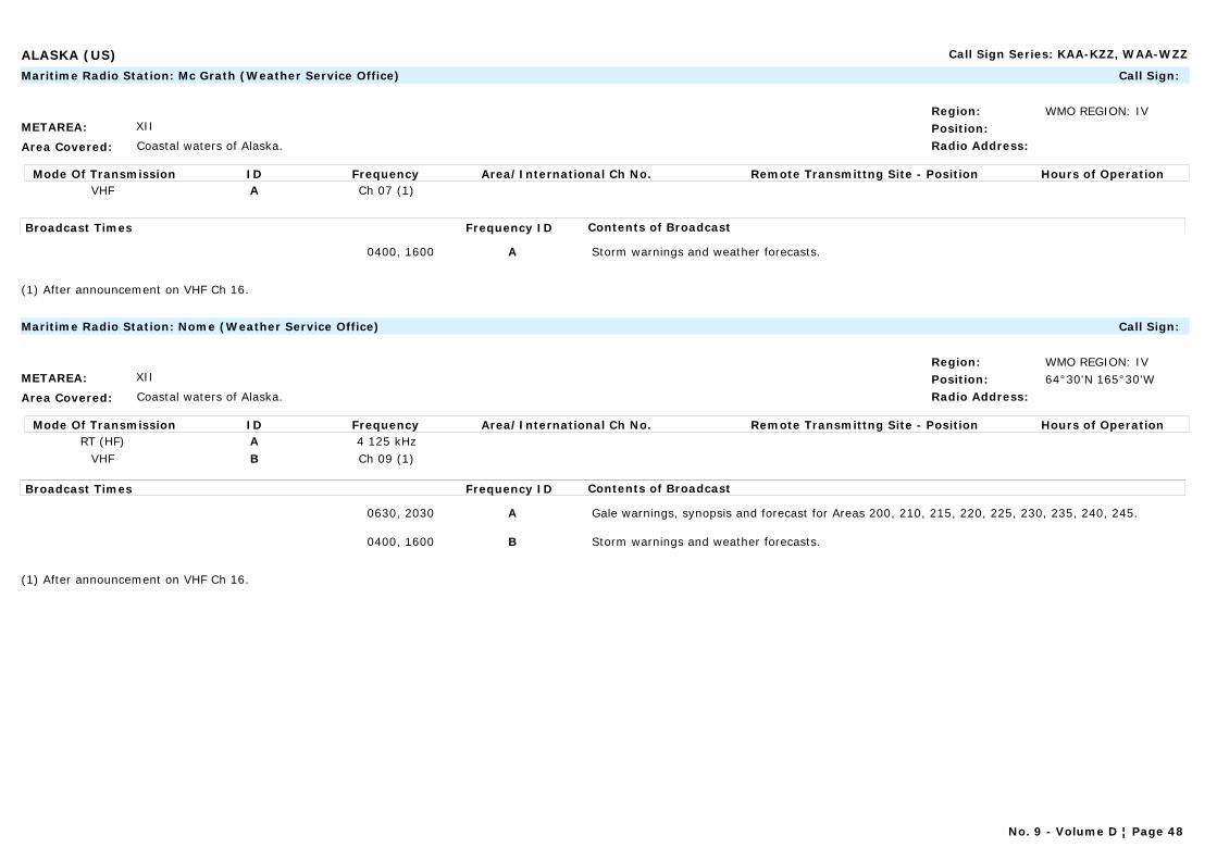
ALASKA (US) Call Sign Series: KAA-KZZ, WAA-WZZ
METAREA: XII
Area Covered: Coastal waters of Alaska.
Region: WMO REGION: IVPosition:Radio Address:
Maritime Radio Station: Mc Grath (Weather Service Office) Call Sign:
Mode Of Transmission ID Frequency Area/International Ch No. Remote Transmittng Site - Position Hours of OperationVHF A Ch 07 (1)
Broadcast Times Frequency ID Contents of Broadcast
0400, 1600 A Storm warnings and weather forecasts.
(1) After announcement on VHF Ch 16.
METAREA: XII
Area Covered: Coastal waters of Alaska.
Region: WMO REGION: IVPosition: 64°30'N 165°30'WRadio Address:
Maritime Radio Station: Nome (Weather Service Office) Call Sign:
Mode Of Transmission ID Frequency Area/International Ch No. Remote Transmittng Site - Position Hours of OperationRT (HF) A 4 125 kHz
VHF B Ch 09 (1)
Broadcast Times Frequency ID Contents of Broadcast
0630, 2030 A Gale warnings, synopsis and forecast for Areas 200, 210, 215, 220, 225, 230, 235, 240, 245.
0400, 1600 B Storm warnings and weather forecasts.
(1) After announcement on VHF Ch 16.
No. 9 - Volume D ¦ Page 48
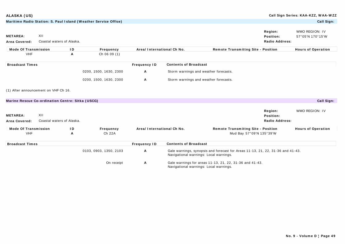
ALASKA (US) Call Sign Series: KAA-KZZ, WAA-WZZ
METAREA: XII
Area Covered: Coastal waters of Alaska.
Region: WMO REGION: IVPosition: 57°05'N 170°15'WRadio Address:
Maritime Radio Station: S. Paul Island (Weather Service Office) Call Sign:
Mode Of Transmission ID Frequency Area/International Ch No. Remote Transmittng Site - Position Hours of OperationVHF A Ch 06 09 (1)
Broadcast Times Frequency ID Contents of Broadcast
0200, 1500, 1630, 2300 A Storm warnings and weather forecasts.
0200, 1500, 1630, 2300 A Storm warnings and weather forecasts.
(1) After announcement on VHF Ch 16.
METAREA: XII
Area Covered: Coastal waters of Alaska.
Region: WMO REGION: IVPosition:Radio Address:
Marine Rescue Co-ordination Centre: Sitka (USCG) Call Sign:
Mode Of Transmission ID Frequency Area/International Ch No. Remote Transmittng Site - Position Hours of OperationVHF A Ch 22A Mud Bay 57°09'N 135°39'W
Broadcast Times Frequency ID Contents of Broadcast
0103, 0903, 1350, 2103 A Gale warnings, synopsis and forecast for Areas 11-13, 21, 22, 31-36 and 41-43.Navigational warnings: Local warnings.
On receipt A Gale warnings for areas 11-13, 21, 22, 31-36 and 41-43.Navigational warnings: Local warnings.
No. 9 - Volume D ¦ Page 49
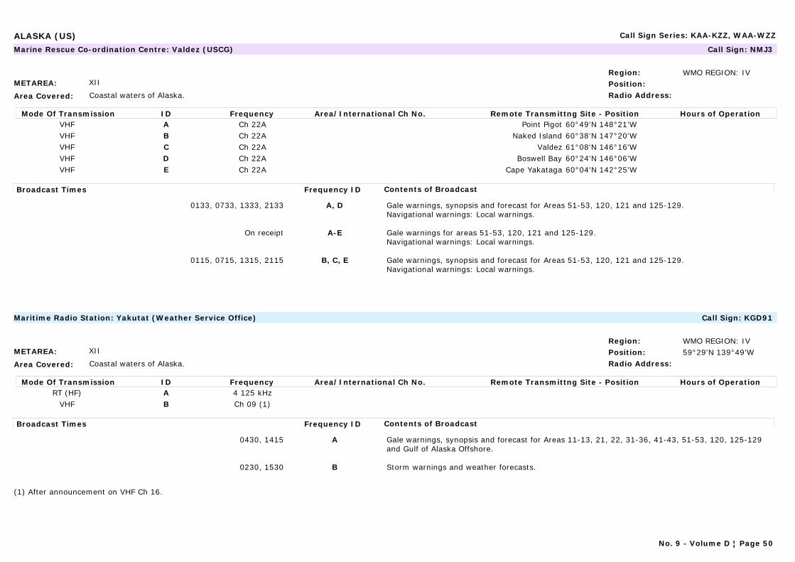
ALASKA (US) Call Sign Series: KAA-KZZ, WAA-WZZ
METAREA: XII
Area Covered: Coastal waters of Alaska.
Region: WMO REGION: IVPosition:Radio Address:
Marine Rescue Co-ordination Centre: Valdez (USCG) Call Sign: NMJ3
Mode Of Transmission ID Frequency Area/International Ch No. Remote Transmittng Site - Position Hours of OperationVHF A Ch 22A Point Pigot 60°49'N 148°21'WVHF B Ch 22A Naked Island 60°38'N 147°20'WVHF C Ch 22A Valdez 61°08'N 146°16'WVHF D Ch 22A Boswell Bay 60°24'N 146°06'WVHF E Ch 22A Cape Yakataga 60°04'N 142°25'W
Broadcast Times Frequency ID Contents of Broadcast
0133, 0733, 1333, 2133 A, D Gale warnings, synopsis and forecast for Areas 51-53, 120, 121 and 125-129.Navigational warnings: Local warnings.
On receipt A-E Gale warnings for areas 51-53, 120, 121 and 125-129.Navigational warnings: Local warnings.
0115, 0715, 1315, 2115 B, C, E Gale warnings, synopsis and forecast for Areas 51-53, 120, 121 and 125-129.Navigational warnings: Local warnings.
METAREA: XII
Area Covered: Coastal waters of Alaska.
Region: WMO REGION: IVPosition: 59°29'N 139°49'WRadio Address:
Maritime Radio Station: Yakutat (Weather Service Office) Call Sign: KGD91
Mode Of Transmission ID Frequency Area/International Ch No. Remote Transmittng Site - Position Hours of OperationRT (HF) A 4 125 kHz
VHF B Ch 09 (1)
Broadcast Times Frequency ID Contents of Broadcast
0430, 1415 A Gale warnings, synopsis and forecast for Areas 11-13, 21, 22, 31-36, 41-43, 51-53, 120, 125-129 and Gulf of Alaska Offshore.
0230, 1530 B Storm warnings and weather forecasts.
(1) After announcement on VHF Ch 16.
No. 9 - Volume D ¦ Page 50
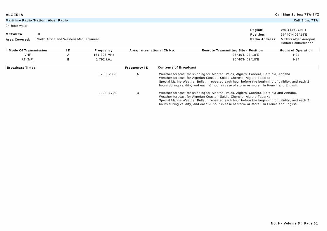
ALGERIA Call Sign Series: 7TA-7YZ
METAREA: III
Area Covered: North Africa and Western Mediterranean
Region: WMO REGION: IPosition: 36°40'N 03°18'ERadio Address: METEO Alger Aéroport
Houari Boumédienne
Maritime Radio Station: Alger Radio Call Sign: 7TA
24-hour watch
Mode Of Transmission ID Frequency Area/International Ch No. Remote Transmittng Site - Position Hours of OperationVHF A 161,825 MHz 36°40'N 03°18'E H24
RT (MF) B 1 792 kHz 36°40'N 03°18'E H24
Broadcast Times Frequency ID Contents of Broadcast
0730, 2330 A Weather forecast for shipping for Alboran, Palos, Algiers, Cabrera, Sardinia, Annaba.Weather forecast for Algerian Coasts : Saidia-Cherchel-Algiers-TabarkaSpecial Marine Weather Bulletin repeated each hour before the beginning of validity, and each 2 hours during validity, and each ½ hour in case of storm or more. In French and English.
0903, 1703 B Weather forecast for shipping for Alboran, Palos, Algiers, Cabrera, Sardinia and Annaba. Weather forecast for Algerian Coasts : Saidia-Cherchel-Algiers-TabarkaSpecial Marine Weather Bulletin repeated each hour before the beginning of validity, and each 2 hours during validity, and each ½ hour in case of storm or more. In French and English.
No. 9 - Volume D ¦ Page 51

ALGERIA Call Sign Series: 7TA-7YZ
METAREA: III
Area Covered: North Africa and Western Mediterranean
Region: WMO REGION: IPosition: 36°54'N 07°46'ERadio Address: METEO Annaba-Les
Salines
Maritime Radio Station: Annaba Radio Call Sign: 7TB
24-hour watch
Mode Of Transmission ID Frequency Area/International Ch No. Remote Transmittng Site - Position Hours of OperationRT (MF) A 1 911 kHz 36°54'N 7°46'E H24
VHF B 161,80 MHz 36°54'N 7°46'E H24
Broadcast Times Frequency ID Contents of Broadcast
0850, 1850 A Weather forecast for shipping for Alboran, Palos, Algiers, Cabrera, Sardinia, Annaba.Weather forecast for Algerian Coasts : Saidia-Cherchel-Algiers-TabarkaSpecial Marine Weather Bulletin repeated each hour before the beginning of validity, and each 2 hours during validity, and each ½ hour in case of storm or more. In French and English.
0703, 2303 B Weather forecast for shipping for Alboran, Palos, Algiers, Cabrera, Sardinia, Annaba.Weather forecast for Algerian Coasts : Saidia-Cherchel-Algiers-TabarkaSpecial Marine Weather Bulletin repeated each hour before the beginning of validity, and each 2 hours during validity, and each ½ hour in case of storm or more. In French and English.
METAREA: III
Area Covered: North Africa and Western Mediterranean
Region: WMO REGION: IPosition: 35°43'N 00°18'WRadio Address:
Maritime Radio Station: Arzew Radio Call Sign: 7TW
24-hour watch
Mode Of Transmission ID Frequency Area/International Ch No. Remote Transmittng Site - Position Hours of OperationVHF A 161,95 MHZ H24
Broadcast Times Frequency ID Contents of Broadcast
0703, 2303 Weather forecast for shipping for Alboran, Palos, Algiers, Cabrera, Sardinia, Annaba Weather forecast for Algerian Coasts: Saidia-Cherchel-Algiers-TabarkaSpecial Marine Weather Bulletin repeated each hour before the beginning of validity, and each 2 hours during validity, and each ½ hour in case of storm or more. In French and English.
No. 9 - Volume D ¦ Page 52

ALGERIA Call Sign Series: 7TA-7YZ
METAREA: III
Area Covered: North Africa and Western Mediterranean
Region: WMO REGION: IPosition: 36°14'N 05°06'ERadio Address:
Maritime Radio Station: Bejaia Radio Call Sign: 7TG
08h-18h watch
Mode Of Transmission ID Frequency Area/International Ch No. Remote Transmittng Site - Position Hours of OperationA 161.90 MHz h24
Broadcast Times Frequency ID Contents of Broadcast
0733, 2333 A Weather forecast for shipping for Alboran, Palos, Algiers, Cabrera, Sardinia, Annaba.Weather forecast for Algerian Coasts : Saidia-Cherchel-Algiers-TabarkaSpecial Marine Weather Bulletin repeated each hour before the beginning of validity, and each 2 hours during validity, and each ½ hour in case of storm or more. In French and English.
METAREA: III
Area Covered: North Africa and Western Mediterranean
Region: WMO REGION: IPosition: 35°04'N 01°08'WRadio Address:
Maritime Radio Station: Ghazouet Radio Call Sign: 7TE
08h-18h watch
Mode Of Transmission ID Frequency Area/International Ch No. Remote Transmittng Site - Position Hours of OperationVHF A 162 MHz H24
Broadcast Times Frequency ID Contents of Broadcast
0703, 2303 A Weather forecast for shipping for Alboran, Palos, Algiers, Cabrera, Sardigna, Annaba.Weather forecast for Algerian Coast : Saidia-Cherchel-Algiers-TabarkaSpecial Marine Weather Bulletin repeated each hour before the beginning of validity, and each 2 hours during validity, and each ½ hour in case of storm or more. In French and English.
No. 9 - Volume D ¦ Page 53
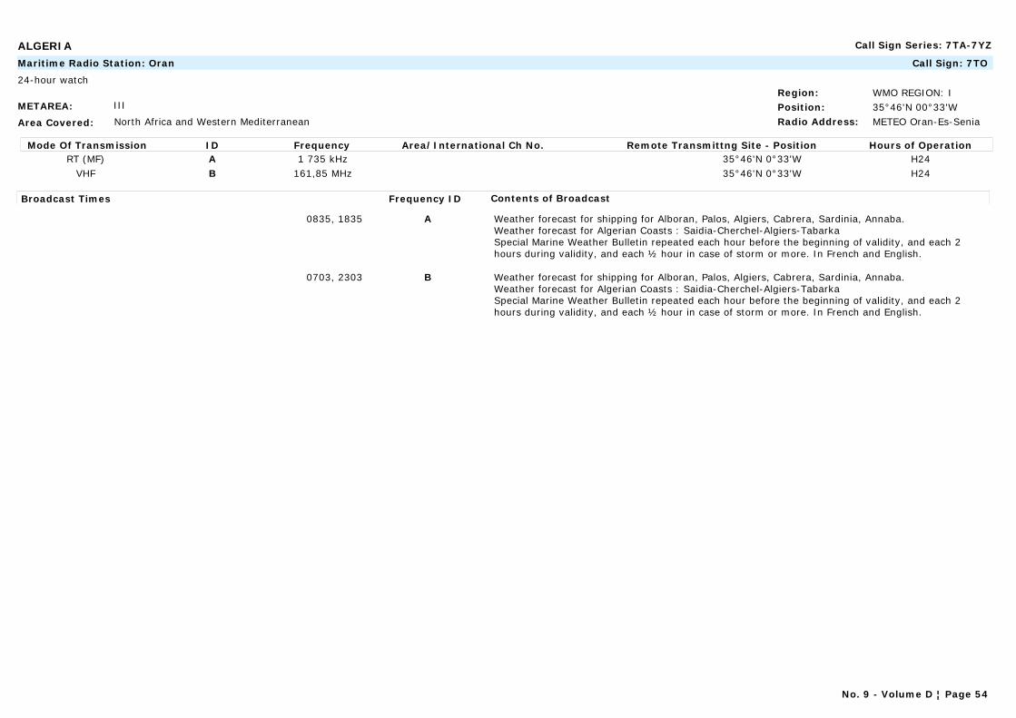
ALGERIA Call Sign Series: 7TA-7YZ
METAREA: III
Area Covered: North Africa and Western Mediterranean
Region: WMO REGION: IPosition: 35°46'N 00°33'WRadio Address: METEO Oran-Es-Senia
Maritime Radio Station: Oran Call Sign: 7TO
24-hour watch
Mode Of Transmission ID Frequency Area/International Ch No. Remote Transmittng Site - Position Hours of OperationRT (MF) A 1 735 kHz 35°46'N 0°33'W H24
VHF B 161,85 MHz 35°46'N 0°33'W H24
Broadcast Times Frequency ID Contents of Broadcast
0835, 1835 A Weather forecast for shipping for Alboran, Palos, Algiers, Cabrera, Sardinia, Annaba.Weather forecast for Algerian Coasts : Saidia-Cherchel-Algiers-TabarkaSpecial Marine Weather Bulletin repeated each hour before the beginning of validity, and each 2 hours during validity, and each ½ hour in case of storm or more. In French and English.
0703, 2303 B Weather forecast for shipping for Alboran, Palos, Algiers, Cabrera, Sardinia, Annaba.Weather forecast for Algerian Coasts : Saidia-Cherchel-Algiers-TabarkaSpecial Marine Weather Bulletin repeated each hour before the beginning of validity, and each 2 hours during validity, and each ½ hour in case of storm or more. In French and English.
No. 9 - Volume D ¦ Page 54

ALGERIA Call Sign Series: 7TA-7YZ
METAREA: III
Area Covered: North Africa and western Mediterranean.
Region: WMO REGION: IPosition:Radio Address:
Commercial Station: Radiodiffusion Télévision Algérienne Call Sign:
Mode Of Transmission ID Frequency Area/International Ch No. Remote Transmittng Site - Position Hours of OperationA 980 kHz AlgerB 1 304 kHz OranC 11 810 kHz AlgerD 692 kHz MicheletE 1 142 kHz ConstantineF 9 510 kHz AlgerG 890 kHz AlgerH 6 080 kHz AlgerI 9 685 kHz AlgerJ 11 835 kHz AlgerK 529 kHz ConstantineL 11 715 kHz AlgerN 11 421 kHz AlgerO 548 kHz OranQ 746 kHz Tlemcen
No. 9 - Volume D ¦ Page 55

ALGERIA Call Sign Series: 7TA-7YZ
Broadcast Times Frequency ID Contents of Broadcast
1300, 2000 A, B, L Probabilities for the following day for the area affected (weather, wind, sea). Special weather bulletin. Special Marine weather bulletin: gale/storm/hurricane warnings. Supplementary information for coastal shipping and fishing (not at 2000).In French.
1300, 2000 C Probabilities for the following day for the area affected (weather, wind, sea). Special weather bulletin. Special Marine weather bulletin: gale/storm/hurricane warnings. Supplementary information for coastal shipping and fishing (not at 2000). In Arabic.
1300, 2000 D, I, N Probabilities for the following day for the area affected (weather, wind, sea). Special weather bulletin. Special Marine weather bulletin: gale/storm/hurricane warnings. Supplementary information for coastal shipping and fishing (not at 2000).In Kabyl.
1300, 2000 E, K, O Probabilities for the following day for the area affected (weather, wind, sea). Special weather bulletin. Special Marine weather bulletin: gale/storm/hurricane warnings. Supplementary information for coastal shipping and fishing (not at 2000).In Arabic.
1300 F Probabilities for the following day for the area affected (weather, wind, sea). Special weather bulletin. Special Marine weather bulletin: gale/storm/hurricane warnings. Supplementary information for coastal shipping and fishing (not at 2000).In Arabic.
2000 H Probabilities for the following day for the area affected (weather, wind, sea). Special weather bulletin. Special Marine weather bulletin: gale/storm/hurricane warnings. Supplementary information for coastal shipping and fishing (not at 2000).In French.
1300 J, Q Probabilities for the following day for the area affected (weather, wind, sea). Special weather bulletin. Special Marine weather bulletin: gale/storm/hurricane warnings. Supplementary information for coastal shipping and fishing (not at 2000).In French.
No. 9 - Volume D ¦ Page 56
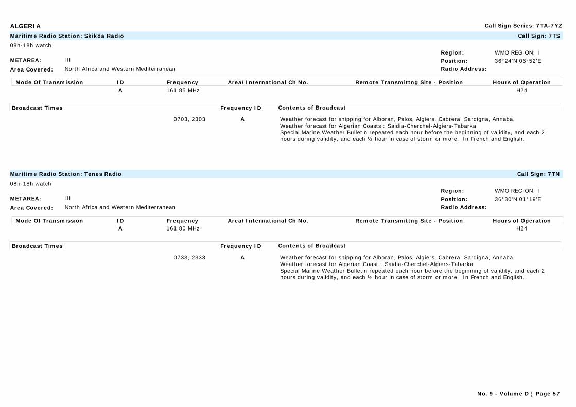
ALGERIA Call Sign Series: 7TA-7YZ
METAREA: III
Area Covered: North Africa and Western Mediterranean
Region: WMO REGION: IPosition: 36°24'N 06°52'ERadio Address:
Maritime Radio Station: Skikda Radio Call Sign: 7TS
08h-18h watch
Mode Of Transmission ID Frequency Area/International Ch No. Remote Transmittng Site - Position Hours of OperationA 161,85 MHz H24
Broadcast Times Frequency ID Contents of Broadcast
0703, 2303 A Weather forecast for shipping for Alboran, Palos, Algiers, Cabrera, Sardigna, Annaba.Weather forecast for Algerian Coasts : Saidia-Cherchel-Algiers-TabarkaSpecial Marine Weather Bulletin repeated each hour before the beginning of validity, and each 2 hours during validity, and each ½ hour in case of storm or more. In French and English.
METAREA: III
Area Covered: North Africa and Western Mediterranean
Region: WMO REGION: IPosition: 36°30'N 01°19'ERadio Address:
Maritime Radio Station: Tenes Radio Call Sign: 7TN
08h-18h watch
Mode Of Transmission ID Frequency Area/International Ch No. Remote Transmittng Site - Position Hours of OperationA 161,80 MHz H24
Broadcast Times Frequency ID Contents of Broadcast
0733, 2333 A Weather forecast for shipping for Alboran, Palos, Algiers, Cabrera, Sardigna, Annaba.Weather forecast for Algerian Coast : Saidia-Cherchel-Algiers-TabarkaSpecial Marine Weather Bulletin repeated each hour before the beginning of validity, and each 2 hours during validity, and each ½ hour in case of storm or more. In French and English.
No. 9 - Volume D ¦ Page 57
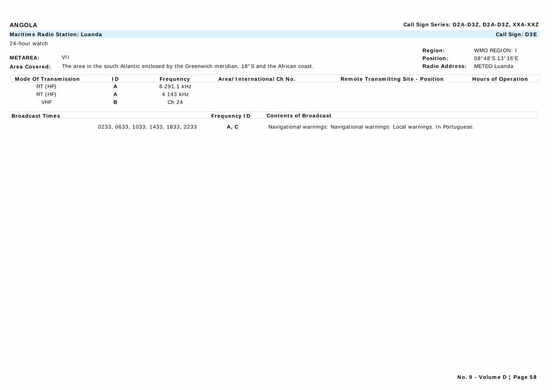
ANGOLA Call Sign Series: D2A-D3Z, D2A-D3Z, XXA-XXZ
METAREA: VII
Area Covered: The area in the south Atlantic enclosed by the Greenwich meridian, 18°S and the African coast.
Region: WMO REGION: IPosition: 08°48'S 13°16'ERadio Address: METEO Luanda
Maritime Radio Station: Luanda Call Sign: D3E
24-hour watch
Mode Of Transmission ID Frequency Area/International Ch No. Remote Transmittng Site - Position Hours of OperationRT (HF) A 8 291.1 kHzRT (HF) A 4 143 kHz
VHF B Ch 24
Broadcast Times Frequency ID Contents of Broadcast
0233, 0633, 1033, 1433, 1833, 2233 A, C Navigational warnings: Navigational warnings: Local warnings. In Portuguese.
No. 9 - Volume D ¦ Page 58
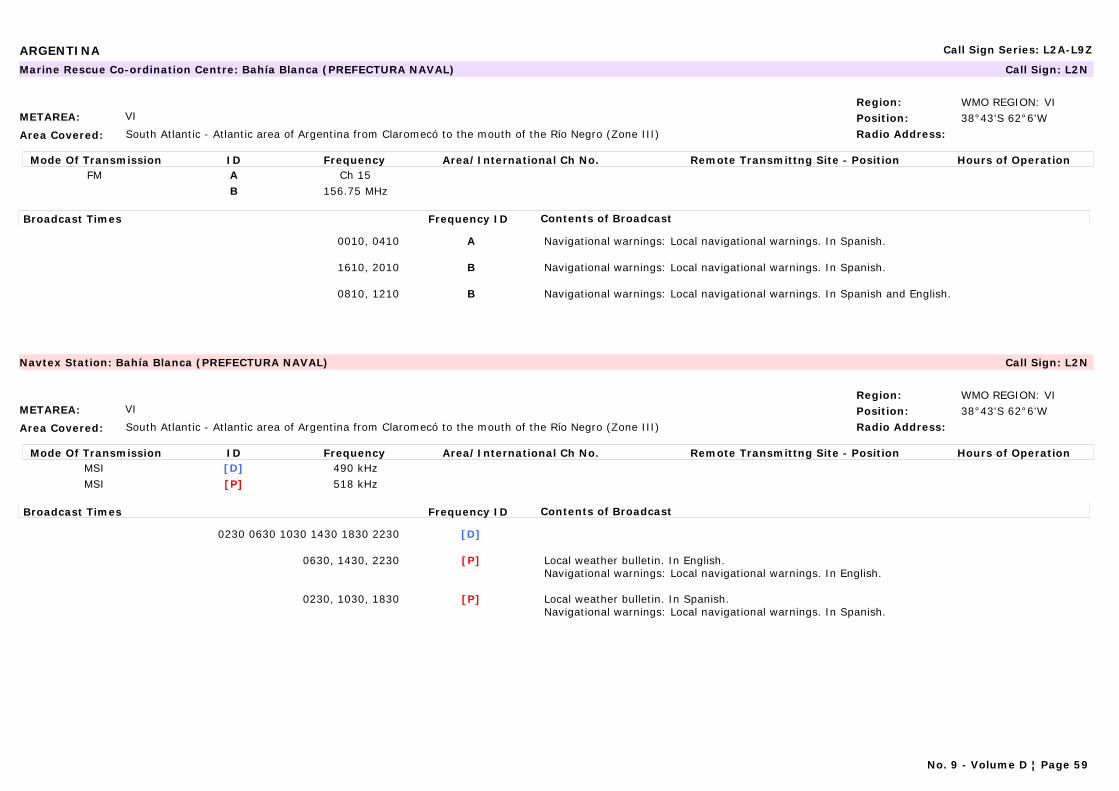
ARGENTINA Call Sign Series: L2A-L9Z
METAREA: VI
Area Covered: South Atlantic - Atlantic area of Argentina from Claromecó to the mouth of the Río Negro (Zone III)
Region: WMO REGION: VIPosition: 38°43'S 62°6'WRadio Address:
Marine Rescue Co-ordination Centre: Bahía Blanca (PREFECTURA NAVAL) Call Sign: L2N
Mode Of Transmission ID Frequency Area/International Ch No. Remote Transmittng Site - Position Hours of OperationFM A Ch 15
B 156.75 MHz
Broadcast Times Frequency ID Contents of Broadcast
0010, 0410 A Navigational warnings: Local navigational warnings. In Spanish.
1610, 2010 B Navigational warnings: Local navigational warnings. In Spanish.
0810, 1210 B Navigational warnings: Local navigational warnings. In Spanish and English.
METAREA: VI
Area Covered: South Atlantic - Atlantic area of Argentina from Claromecó to the mouth of the Río Negro (Zone III)
Region: WMO REGION: VIPosition: 38°43'S 62°6'WRadio Address:
Navtex Station: Bahía Blanca (PREFECTURA NAVAL) Call Sign: L2N
Mode Of Transmission ID Frequency Area/International Ch No. Remote Transmittng Site - Position Hours of OperationMSI [D] 490 kHzMSI [P] 518 kHz
Broadcast Times Frequency ID Contents of Broadcast
0230 0630 1030 1430 1830 2230 [D]
0630, 1430, 2230 [P] Local weather bulletin. In English.Navigational warnings: Local navigational warnings. In English.
0230, 1030, 1830 [P] Local weather bulletin. In Spanish.Navigational warnings: Local navigational warnings. In Spanish.
No. 9 - Volume D ¦ Page 59
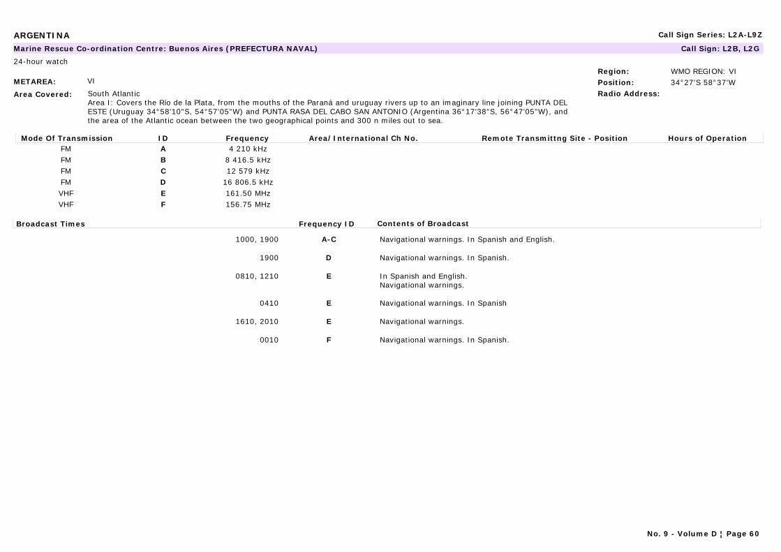
ARGENTINA Call Sign Series: L2A-L9Z
METAREA: VI
Area Covered: South AtlanticArea I: Covers the Río de la Plata, from the mouths of the Paraná and uruguay rivers up to an imaginary line joining PUNTA DEL ESTE (Uruguay 34°58'10"S, 54°57'05"W) and PUNTA RASA DEL CABO SAN ANTONIO (Argentina 36°17'38"S, 56°47'05"W), and the area of the Atlantic ocean between the two geographical points and 300 n miles out to sea.
Region: WMO REGION: VIPosition: 34°27'S 58°37'WRadio Address:
Marine Rescue Co-ordination Centre: Buenos Aires (PREFECTURA NAVAL) Call Sign: L2B, L2G
24-hour watch
Mode Of Transmission ID Frequency Area/International Ch No. Remote Transmittng Site - Position Hours of OperationFM A 4 210 kHzFM B 8 416.5 kHzFM C 12 579 kHzFM D 16 806.5 kHzVHF E 161.50 MHzVHF F 156.75 MHz
Broadcast Times Frequency ID Contents of Broadcast
1000, 1900 A-C Navigational warnings. In Spanish and English.
1900 D Navigational warnings. In Spanish.
0810, 1210 E In Spanish and English.Navigational warnings.
0410 E Navigational warnings. In Spanish
1610, 2010 E Navigational warnings.
0010 F Navigational warnings. In Spanish.
No. 9 - Volume D ¦ Page 60
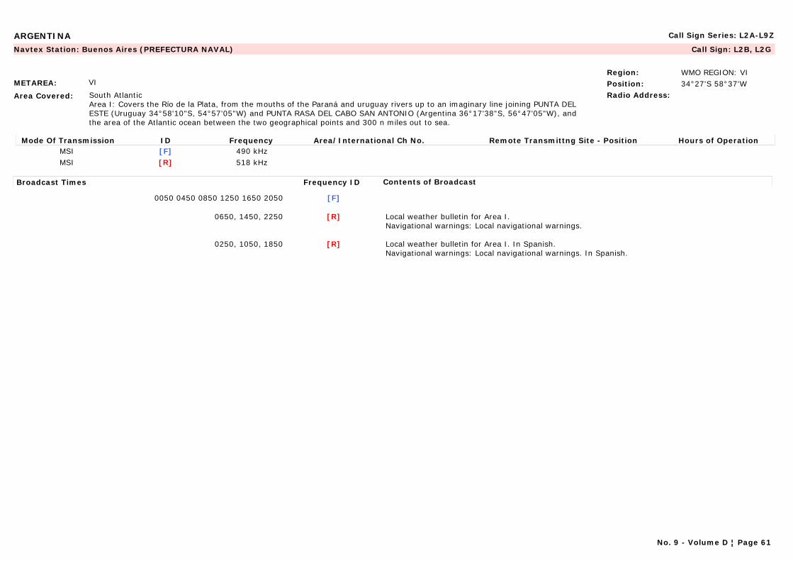
ARGENTINA Call Sign Series: L2A-L9Z
METAREA: VI
Area Covered: South AtlanticArea I: Covers the Río de la Plata, from the mouths of the Paraná and uruguay rivers up to an imaginary line joining PUNTA DEL ESTE (Uruguay 34°58'10"S, 54°57'05"W) and PUNTA RASA DEL CABO SAN ANTONIO (Argentina 36°17'38"S, 56°47'05"W), and the area of the Atlantic ocean between the two geographical points and 300 n miles out to sea.
Region: WMO REGION: VIPosition: 34°27'S 58°37'WRadio Address:
Navtex Station: Buenos Aires (PREFECTURA NAVAL) Call Sign: L2B, L2G
Mode Of Transmission ID Frequency Area/International Ch No. Remote Transmittng Site - Position Hours of OperationMSI [F] 490 kHzMSI [R] 518 kHz
Broadcast Times Frequency ID Contents of Broadcast
0050 0450 0850 1250 1650 2050 [F]
0650, 1450, 2250 [R] Local weather bulletin for Area I.Navigational warnings: Local navigational warnings.
0250, 1050, 1850 [R] Local weather bulletin for Area I. In Spanish.Navigational warnings: Local navigational warnings. In Spanish.
No. 9 - Volume D ¦ Page 61

ARGENTINA Call Sign Series: L2A-L9Z
METAREA: VI
Area Covered: South AtlanticArea I: Covers the Río de la Plata, from the mouths of the Paraná and uruguay rivers up to an imaginary line joining PUNTA DEL ESTE (Uruguay 34°58'10"S, 54°57'05"W) and PUNTA RASA DEL CABO SAN ANTONIO (Argentina 36°17'38"S, 56°47'05"W), and the area of the Atlantic ocean between the two geographical points and 300 n miles out to sea.Area II: The Atlantic Ocean between 36°17'38"S, and 55°00'00"S.Zone III: the Falkland Islands (Islas Malvinas)
Region: WMO REGION: VIPosition: 45°51'S 67°25'WRadio Address: Oceanographic Centre
SERHIDRO
Marine Rescue Co-ordination Centre: Comodoro Rivadavia (PREFECTURA NAVAL) Call Sign: L2W, L3A, L3B
24-hour watch
Mode Of Transmission ID Frequency Area/International Ch No. Remote Transmittng Site - Position Hours of OperationRT (MF) A 2 065 kHzRT (HF) B 4 149 kHzRT (HF) C 8 294 kHz
VHF D Ch 15Radio-Telex E 4 210 kHzRadio-Telex F 8 416.5 kHzRadio-Telex G 12 579 kHzRadio-Telex H 19 685.5 kHz
Broadcast Times Frequency ID Contents of Broadcast
0440 A Navigational warnings. In Spanish.
1740 B, C Navigational warnings. In Spanish and English.
0350, 0750, 1050, 1650, 2250 D Navigational warnings. In Spanish.
0530 E Navigational warnings. In Spanish.
1830 F-H Navigational warnings. In Spanish.
No. 9 - Volume D ¦ Page 62

ARGENTINA Call Sign Series: L2A-L9Z
METAREA: VI
Area Covered: South AtlanticArea I: Covers the Río de la Plata, from the mouths of the Paraná and uruguay rivers up to an imaginary line joining PUNTA DEL ESTE (Uruguay 34°58'10"S, 54°57'05"W) and PUNTA RASA DEL CABO SAN ANTONIO (Argentina 36°17'38"S, 56°47'05"W), and the area of the Atlantic ocean between the two geographical points and 300 n miles out to sea.Area II: The Atlantic Ocean between 36°17'38"S, and 55°00'00"S.Zone III: the Falkland Islands (Islas Malvinas)
Region: WMO REGION: VIPosition: 45°51'S 67°25'WRadio Address: Oceanographic Centre
SERHIDRO
Navtex Station: Comodoro Rivadavia (PREFECTURA NAVAL) Call Sign: L2W, L3A, L3B
24-hour watch
Mode Of Transmission ID Frequency Area/International Ch No. Remote Transmittng Site - Position Hours of OperationMSI [O] 490 kHzMSI [O] 518 kHz
Broadcast Times Frequency ID Contents of Broadcast
0620, 1420, 2220 [O] Local weather bulletin. In English.Navigational warnings: Local navigational warnings. In English.
0220, 1020, 1820 [O] Local weather bulletin. In Spanish.Navigational warnings: Local navigational warnings. In Spanish.
METAREA: VI
Area Covered:
Region: WMO REGION: VIPosition:Radio Address:
Marine Rescue Co-ordination Centre: Delta (PREFECTURA NAVAL) Call Sign: L9O
Mode Of Transmission ID Frequency Area/International Ch No. Remote Transmittng Site - Position Hours of OperationA 161.775 MHz
Broadcast Times Frequency ID Contents of Broadcast
H24, 00, 15, 30, 45 A In Spanish and English.Navigational warnings.
No. 9 - Volume D ¦ Page 63
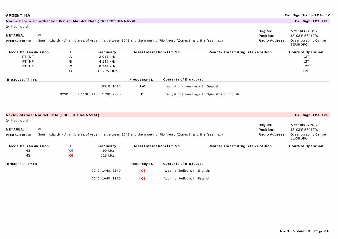
ARGENTINA Call Sign Series: L2A-L9Z
METAREA: VI
Area Covered: South Atlantic - Atlantic area of Argentina between 36°S and the mouth of Río Negro (Zones II and III) (see map)
Region: WMO REGION: VIPosition: 38°03'S 57°32'WRadio Address: Oceanographic Centre
SERHIDRO
Marine Rescue Co-ordination Centre: Mar del Plata (PREFECTURA NAVAL) Call Sign: L2T, L2U
24-hour watch
Mode Of Transmission ID Frequency Area/International Ch No. Remote Transmittng Site - Position Hours of OperationRT (MF) A 2 065 kHz L2TRT (HF) B 4 149 kHz L2TRT (HF) C 8 294 kHz L2T
D 156.75 MHz L2U
Broadcast Times Frequency ID Contents of Broadcast
0310, 1610 A-C Navigational warnings. In Spanish.
0230, 0530, 1130, 1130, 1730, 2330 D Navigational warnings. In Spanish and English.
METAREA: VI
Area Covered: South Atlantic - Atlantic area of Argentina between 36°S and the mouth of Río Negro (Zones II and III) (see map)
Region: WMO REGION: VIPosition: 38°03'S 57°32'WRadio Address: Oceanographic Centre
SERHIDRO
Navtex Station: Mar del Plata (PREFECTURA NAVAL) Call Sign: L2T, L2U
24-hour watch
Mode Of Transmission ID Frequency Area/International Ch No. Remote Transmittng Site - Position Hours of OperationMSI [Q] 490 kHzMSI [Q] 518 kHz
Broadcast Times Frequency ID Contents of Broadcast
0640, 1440, 2240 [Q] Weather bulletin. In English.
0240, 1040, 1840 [Q] Weather bulletin. In Spanish.
No. 9 - Volume D ¦ Page 64
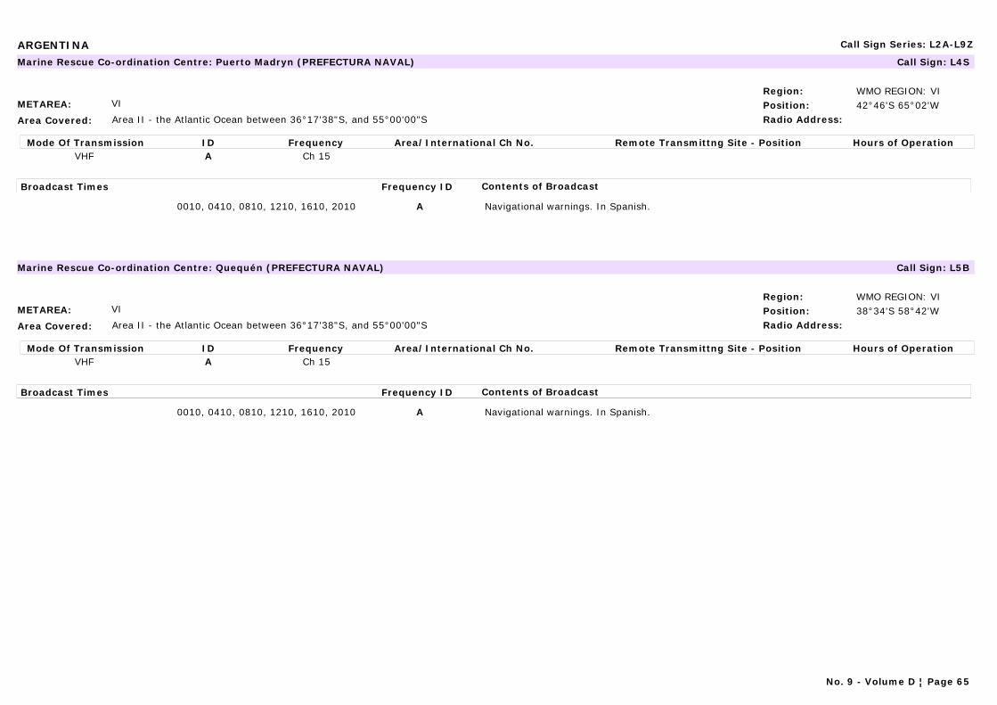
ARGENTINA Call Sign Series: L2A-L9Z
METAREA: VI
Area Covered: Area II - the Atlantic Ocean between 36°17'38"S, and 55°00'00"S
Region: WMO REGION: VIPosition: 42°46'S 65°02'WRadio Address:
Marine Rescue Co-ordination Centre: Puerto Madryn (PREFECTURA NAVAL) Call Sign: L4S
Mode Of Transmission ID Frequency Area/International Ch No. Remote Transmittng Site - Position Hours of OperationVHF A Ch 15
Broadcast Times Frequency ID Contents of Broadcast
0010, 0410, 0810, 1210, 1610, 2010 A Navigational warnings. In Spanish.
METAREA: VI
Area Covered: Area II - the Atlantic Ocean between 36°17'38"S, and 55°00'00"S
Region: WMO REGION: VIPosition: 38°34'S 58°42'WRadio Address:
Marine Rescue Co-ordination Centre: Quequén (PREFECTURA NAVAL) Call Sign: L5B
Mode Of Transmission ID Frequency Area/International Ch No. Remote Transmittng Site - Position Hours of OperationVHF A Ch 15
Broadcast Times Frequency ID Contents of Broadcast
0010, 0410, 0810, 1210, 1610, 2010 A Navigational warnings. In Spanish.
No. 9 - Volume D ¦ Page 65
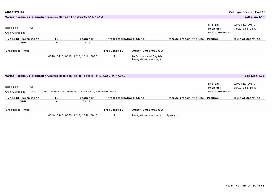
ARGENTINA Call Sign Series: L2A-L9Z
METAREA: VI
Area Covered:
Region: WMO REGION: VIPosition: 43°20'S 65°03'WRadio Address:
Marine Rescue Co-ordination Centre: Rawson (PREFECTURA NAVAL) Call Sign: L4R
Mode Of Transmission ID Frequency Area/International Ch No. Remote Transmittng Site - Position Hours of OperationVHF A Ch 15
Broadcast Times Frequency ID Contents of Broadcast
0010, 0410, 0810, 1210, 1610, 2010 A In Spanish and English.Navigational warnings.
METAREA: VI
Area Covered: Area II - the Atlantic Ocean between 36°17'38"S, and 55°00'00"S
Region: WMO REGION: VIPosition: 35°10'S 56°19'WRadio Address:
Marine Rescue Co-ordination Centre: Recalada Río de la Plata (PREFECTURA NAVAL) Call Sign: L3Z
Mode Of Transmission ID Frequency Area/International Ch No. Remote Transmittng Site - Position Hours of OperationVHF A Ch 15
Broadcast Times Frequency ID Contents of Broadcast
0040, 0440, 0840, 1240, 1640, 2040 A Navigational warnings. In Spanish.
No. 9 - Volume D ¦ Page 66
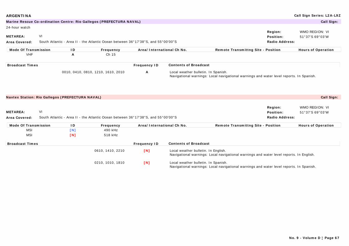
ARGENTINA Call Sign Series: L2A-L9Z
METAREA: VI
Area Covered: South Atlantic - Area II - the Atlantic Ocean between 36°17'38"S, and 55°00'00"S
Region: WMO REGION: VIPosition: 51°37'S 69°03'WRadio Address:
Marine Rescue Co-ordination Centre: Rio Gallegos (PREFECTURA NAVAL) Call Sign:
24-hour watch
Mode Of Transmission ID Frequency Area/International Ch No. Remote Transmittng Site - Position Hours of OperationVHF A Ch 15
Broadcast Times Frequency ID Contents of Broadcast
0010, 0410, 0810, 1210, 1610, 2010 A Local weather bulletin. In Spanish.Navigational warnings: Local navigational warnings and water level reports. In Spanish.
METAREA: VI
Area Covered: South Atlantic - Area II - the Atlantic Ocean between 36°17'38"S, and 55°00'00"S
Region: WMO REGION: VIPosition: 51°37'S 69°03'WRadio Address:
Navtex Station: Rio Gallegos (PREFECTURA NAVAL) Call Sign:
Mode Of Transmission ID Frequency Area/International Ch No. Remote Transmittng Site - Position Hours of OperationMSI [N] 490 kHzMSI [N] 518 kHz
Broadcast Times Frequency ID Contents of Broadcast
0610, 1410, 2210 [N] Local weather bulletin. In English.Navigational warnings: Local navigational warnings and water level reports. In English.
0210, 1010, 1810 [N] Local weather bulletin. In Spanish.Navigational warnings: Local navigational warnings and water level reports. In Spanish.
No. 9 - Volume D ¦ Page 67

ARGENTINA Call Sign Series: L2A-L9Z
METAREA: VI
Area Covered:
Region: WMO REGION: VIPosition: 40°50'S 64°54'WRadio Address:
Marine Rescue Co-ordination Centre: San Antonio Oeste (PREFECTURA NAVAL) Call Sign: L4V, L3I
Mode Of Transmission ID Frequency Area/International Ch No. Remote Transmittng Site - Position Hours of OperationVHF A Ch 15
Broadcast Times Frequency ID Contents of Broadcast
0010, 0410, 0810, 1210, 1610, 2010 A Navigational warnings. In Spanish.
METAREA: VI
Area Covered: South Atlantic - Atlantic area of Argentina from Faro Cabo Guardián to Ushuaia
Region: WMO REGION: VIPosition: 54°48'S 68°18'WRadio Address:
Marine Rescue Co-ordination Centre: Ushuaia (PREFECTURA NAVAL) Call Sign: L3P
24-hour watch
Mode Of Transmission ID Frequency Area/International Ch No. Remote Transmittng Site - Position Hours of OperationVHF A Ch 15
Broadcast Times Frequency ID Contents of Broadcast
0010, 0410, 0810, 1210, 1610, 2010 A
No. 9 - Volume D ¦ Page 68
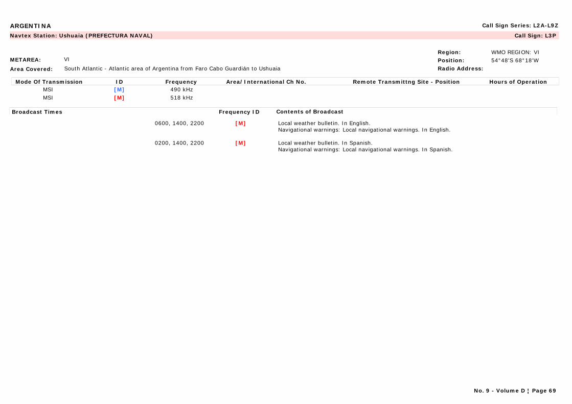
ARGENTINA Call Sign Series: L2A-L9Z
METAREA: VI
Area Covered: South Atlantic - Atlantic area of Argentina from Faro Cabo Guardián to Ushuaia
Region: WMO REGION: VIPosition: 54°48'S 68°18'WRadio Address:
Navtex Station: Ushuaia (PREFECTURA NAVAL) Call Sign: L3P
Mode Of Transmission ID Frequency Area/International Ch No. Remote Transmittng Site - Position Hours of OperationMSI [M] 490 kHzMSI [M] 518 kHz
Broadcast Times Frequency ID Contents of Broadcast
0600, 1400, 2200 [M] Local weather bulletin. In English.Navigational warnings: Local navigational warnings. In English.
0200, 1400, 2200 [M] Local weather bulletin. In Spanish.Navigational warnings: Local navigational warnings. In Spanish.
No. 9 - Volume D ¦ Page 69
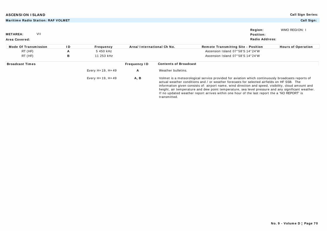
ASCENSION ISLAND Call Sign Series:
METAREA: VII
Area Covered:
Region: WMO REGION: IPosition:Radio Address:
Maritime Radio Station: RAF VOLMET Call Sign:
Mode Of Transmission ID Frequency Area/International Ch No. Remote Transmittng Site - Position Hours of OperationRT (HF) A 5 450 kHz Ascension Island 07°58'S 14°24'WRT (HF) B 11 253 kHz Ascension Island 07°58'S 14°24'W
Broadcast Times Frequency ID Contents of Broadcast
Every H+19, H+49 A Weather bulletins.
Every H+19, H+49 A, B Volmet is a meteorological service provided for aviation which continuously broadcasts reports of actual weather conditions and / or weather forecasts for selected airfields on HF SSB. The information given consists of: airport name, wind direction and speed, visibility, cloud amount and height, air temperature and dew point temperature, sea level pressure and any significant weather. If no updated weather report arrives within one hour of the last report the a 'NO REPORT' is transmitted.
No. 9 - Volume D ¦ Page 70
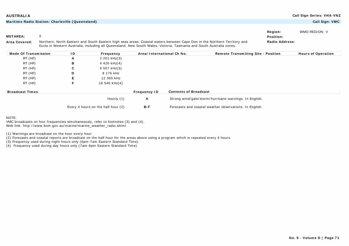
AUSTRALIA Call Sign Series: VHA-VNZ
METAREA: X
Area Covered: Northern, North Eastern and South Eastern high seas areas. Coastal waters between Cape Don in the Northern Territory and Eucla in Western Australia, including all Queensland, New South Wales, Victoria, Tasmania and South Australia zones.
Region: WMO REGION: VPosition:Radio Address:
Maritime Radio Station: Charleville (Queensland) Call Sign: VMC
Mode Of Transmission ID Frequency Area/International Ch No. Remote Transmittng Site - Position Hours of OperationRT (HF) A 2 201 kHz(3)RT (HF) B 4 426 kHz(4)RT (HF) C 6 507 kHz(3)RT (HF) D 8 176 kHzRT (HF) E 12 365 kHzRT (HF) F 16 546 kHz(4)
Broadcast Times Frequency ID Contents of Broadcast
Hourly (1) A Strong wind/gale/storm/hurricane warnings. In English.
Every 4 hours on the half hour (2) B-F Forecasts and coastal weather observations. In English.
NOTE: VMC broadcasts on four frequencies simultaneously, refer to footnotes (3) and (4).Web link: http://www.bom.gov.au/marine/marine_weather_radio.shtml
(1) Warnings are broadcast on the hour every hour.(2) Forecasts and coastal reports are broadcast on the half hour for the areas above using a program which is repeated every 4 hours.(3) Frequency used during night hours only (6pm-7am Eastern Standard Time).(4) Frequency used during day hours only (7am-6pm Eastern Standard Time).
No. 9 - Volume D ¦ Page 71

AUSTRALIA Call Sign Series: VHA-VNZ
METAREA: X
Area Covered: Northern, Western and South Eastern high seas areas. Coastal waters between the South Australia - Victoria border and Torres Strait in Queensland including all South Australia, Western Australia and Northern Territory zones.
Region: WMO REGION: VPosition:Radio Address:
Maritime Radio Station: Wiluna (Western Australia) Call Sign: VMW
Mode Of Transmission ID Frequency Area/International Ch No. Remote Transmittng Site - Position Hours of OperationRT (HF) A 2 056 kHz(3)RT (HF) B 4 149 kHz(4)RT (HF) C 6 230 kHz(3)RT (HF) D 8 113 kHzRT (HF) E 12 362 kHzRT (HF) F 16 528 kHz(4)
Broadcast Times Frequency ID Contents of Broadcast
Hourly (1) A Strong wind/gale/storm/hurricane warnings. In English.
Every 4 hours on the half hour (2) B-F Forecasts and coastal weather observations. In English.
NOTE: VMW broadcasts on four frequencies simultaneously, refer to footnotes (3) and (4).Web link: http://www.bom.gov.au/marine/marine_weather_radio.shtml
(1) Warnings are broadcast on the hour every hour.(2) Forecasts and coastal reports are broadcast on the half hour for the areas above using a program which is repeated every 4 hours.(3) Frequency used during night hours only (6pm-7am Eastern Standard Time).(4) Frequency used during day hours only (7am-6pm Eastern Standard Time).
No. 9 - Volume D ¦ Page 72

AUSTRIA Call Sign Series: OEA-OEZ
METAREA: I
Area Covered:
Region: WMO REGION: VIPosition:Radio Address:
Commercial Station: Radio Österreich International (ORF) Call Sign:
Mode Of Transmission ID Frequency Area/International Ch No. Remote Transmittng Site - Position Hours of OperationAM A 5 945 kHzAM B 6 155 kHzAM C 13 730 kHz
Broadcast Times Frequency ID Contents of Broadcast
1815 A, B Weather bulletins, European weather prognosis and station reports for Areas M1 to M9.
0610, 0954(1), 1057(2), 1615 B, C Weather bulletins, European weather prognosis and station reports for Areas M1 to M9.
NOTE: Station operates between 25 March and 27 October only.
(1) Sunday only.(2) Except Sunday.
No. 9 - Volume D ¦ Page 73
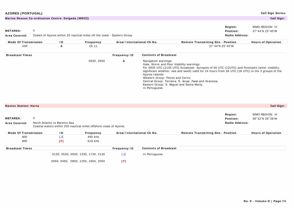
AZORES (PORTUGAL) Call Sign Series:
METAREA: II
Area Covered: Coasts of Açores within 20 nautical miles off the coast - Eastern Group
Region: WMO REGION: VIPosition: 37°44'N 25°40'WRadio Address:
Marine Rescue Co-ordination Centre: Delgada (MRCC) Call Sign:
Mode Of Transmission ID Frequency Area/International Ch No. Remote Transmittng Site - Position Hours of OperationVHF A Ch 11 37°44'N 25°40'W
Broadcast Times Frequency ID Contents of Broadcast
0830, 2000 A Navigation warnings.Gale, Storm and Poor Visibility warnings.For 0935 UTC (2135 UTC) broadcast: Synopsis of 00 UTC (12UTC) and Forecasts (wind, visibility, significant weather, sea and swell) valid for 24 hours from 06 UTC (18 UTC) to the 3 groups of the Açores Islands:Western Group: Flores and Corvo;Central Group: Terceira, S. Jorge, Faial and Graciosa;Eastern Group: S. Miguel and Santa Maria.In Portuguese.
METAREA: II
Area Covered: North Atlantic to Barents SeaCoastal waters within 200 nautical miles offshore coast of Açores
Region: WMO REGION: VIPosition: 38°32'N 28°38'WRadio Address:
Navtex Station: Horta Call Sign:
Mode Of Transmission ID Frequency Area/International Ch No. Remote Transmittng Site - Position Hours of OperationMSI [J] 490 kHzMSI [F] 518 kHz
Broadcast Times Frequency ID Contents of Broadcast
0130, 0530, 0930, 1330, 1730, 2130 [J] In Portuguese.
0050, 0450, 0850, 1250, 1650, 2050 [F]
No. 9 - Volume D ¦ Page 74
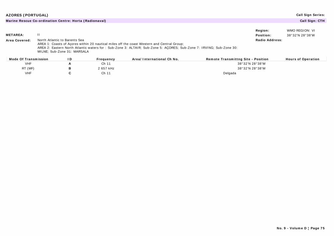
AZORES (PORTUGAL) Call Sign Series:
METAREA: II
Area Covered: North Atlantic to Barents SeaAREA 1: Coasts of Açores within 20 nautical miles off the coast Western and Central Group;AREA 2: Eastern North Atlantic waters for : Sub-Zone 3: ALTAIR; Sub-Zone 5: AÇORES; Sub-Zone 7: IRVING; Sub-Zone 30: MILNE; Sub-Zone 31: MARSALA
Region: WMO REGION: VIPosition: 38°32'N 28°38'WRadio Address:
Marine Rescue Co-ordination Centre: Horta (Radionaval) Call Sign: CTH
Mode Of Transmission ID Frequency Area/International Ch No. Remote Transmittng Site - Position Hours of OperationVHF A Ch 11 38°32'N 28°38'W
RT (MF) B 2 657 kHz 38°32'N 28°38'WVHF C Ch 11 Delgada
No. 9 - Volume D ¦ Page 75
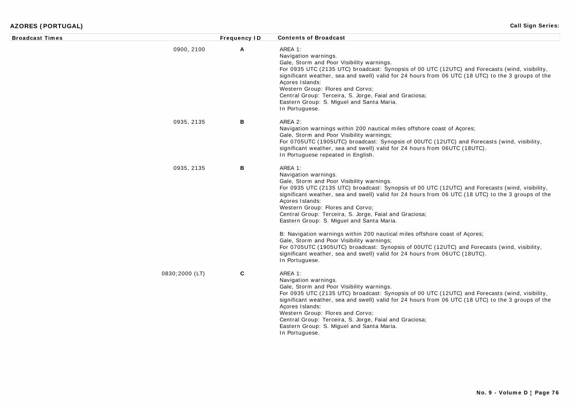
AZORES (PORTUGAL) Call Sign Series:
Broadcast Times Frequency ID Contents of Broadcast
0900, 2100 A AREA 1:Navigation warnings.Gale, Storm and Poor Visibility warnings.For 0935 UTC (2135 UTC) broadcast: Synopsis of 00 UTC (12UTC) and Forecasts (wind, visibility, significant weather, sea and swell) valid for 24 hours from 06 UTC (18 UTC) to the 3 groups of the Açores Islands:Western Group: Flores and Corvo;Central Group: Terceira, S. Jorge, Faial and Graciosa;Eastern Group: S. Miguel and Santa Maria.In Portuguese.
0935, 2135 B AREA 2:Navigation warnings within 200 nautical miles offshore coast of Açores;Gale, Storm and Poor Visibility warnings;For 0705UTC (1905UTC) broadcast: Synopsis of 00UTC (12UTC) and Forecasts (wind, visibility, significant weather, sea and swell) valid for 24 hours from 06UTC (18UTC).In Portuguese repeated in English.
0935, 2135 B AREA 1:Navigation warnings.Gale, Storm and Poor Visibility warnings.For 0935 UTC (2135 UTC) broadcast: Synopsis of 00 UTC (12UTC) and Forecasts (wind, visibility, significant weather, sea and swell) valid for 24 hours from 06 UTC (18 UTC) to the 3 groups of the Açores Islands:Western Group: Flores and Corvo;Central Group: Terceira, S. Jorge, Faial and Graciosa;Eastern Group: S. Miguel and Santa Maria.
B: Navigation warnings within 200 nautical miles offshore coast of Açores;Gale, Storm and Poor Visibility warnings;For 0705UTC (1905UTC) broadcast: Synopsis of 00UTC (12UTC) and Forecasts (wind, visibility, significant weather, sea and swell) valid for 24 hours from 06UTC (18UTC). In Portuguese.
0830;2000 (LT) C AREA 1:Navigation warnings.Gale, Storm and Poor Visibility warnings.For 0935 UTC (2135 UTC) broadcast: Synopsis of 00 UTC (12UTC) and Forecasts (wind, visibility, significant weather, sea and swell) valid for 24 hours from 06 UTC (18 UTC) to the 3 groups of the Açores Islands:Western Group: Flores and Corvo;Central Group: Terceira, S. Jorge, Faial and Graciosa;Eastern Group: S. Miguel and Santa Maria.In Portuguese.
No. 9 - Volume D ¦ Page 76
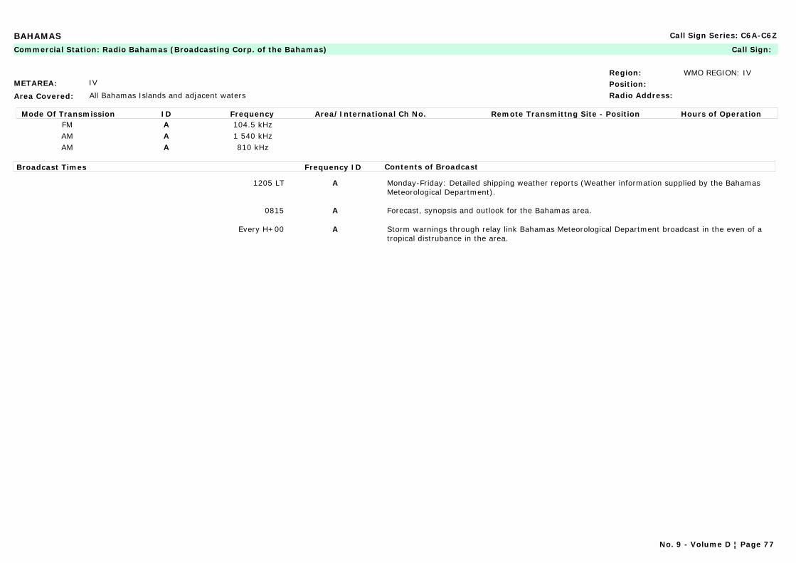
BAHAMAS Call Sign Series: C6A-C6Z
METAREA: IV
Area Covered: All Bahamas Islands and adjacent waters
Region: WMO REGION: IVPosition:Radio Address:
Commercial Station: Radio Bahamas (Broadcasting Corp. of the Bahamas) Call Sign:
Mode Of Transmission ID Frequency Area/International Ch No. Remote Transmittng Site - Position Hours of OperationFM A 104.5 kHzAM A 1 540 kHzAM A 810 kHz
Broadcast Times Frequency ID Contents of Broadcast
1205 LT A Monday-Friday: Detailed shipping weather reports (Weather information supplied by the Bahamas Meteorological Department).
0815 A Forecast, synopsis and outlook for the Bahamas area.
Every H+00 A Storm warnings through relay link Bahamas Meteorological Department broadcast in the even of a tropical distrubance in the area.
No. 9 - Volume D ¦ Page 77

BAHRAIN Call Sign Series: A9A-A9Z
METAREA: IX
Area Covered:
Region: WMO REGION: IIPosition: 26°09'N 50°28'ERadio Address:
Navtex Station: Hamala Call Sign:
Mode Of Transmission ID Frequency Area/International Ch No. Remote Transmittng Site - Position Hours of OperationMSI [B] 518 kHz
Broadcast Times Frequency ID Contents of Broadcast
0010, 0410, 0810, 1210, 1610, 2010 [B] Navigational warnings: For Persian Gulf and approaches. In English.
0410, 1610 [B] Synopsis and 24 hour forecast for Persian Gulf, Strait of Hormuz and Gulf of Oman. In English.
No. 9 - Volume D ¦ Page 78
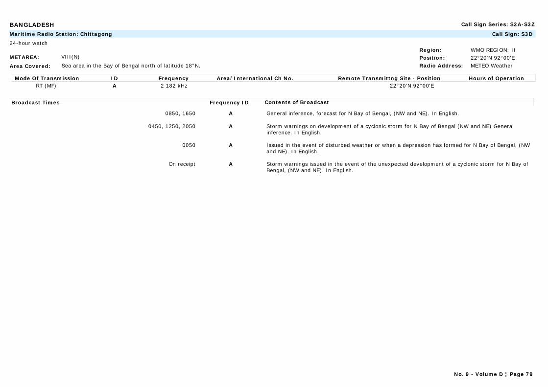
BANGLADESH Call Sign Series: S2A-S3Z
METAREA: VIII(N)
Area Covered: Sea area in the Bay of Bengal north of latitude 18°N.
Region: WMO REGION: IIPosition: 22°20'N 92°00'ERadio Address: METEO Weather
Maritime Radio Station: Chittagong Call Sign: S3D
24-hour watch
Mode Of Transmission ID Frequency Area/International Ch No. Remote Transmittng Site - Position Hours of OperationRT (MF) A 2 182 kHz 22°20'N 92°00'E
Broadcast Times Frequency ID Contents of Broadcast
0850, 1650 A General inference, forecast for N Bay of Bengal, (NW and NE). In English.
0450, 1250, 2050 A Storm warnings on development of a cyclonic storm for N Bay of Bengal (NW and NE) General inference. In English.
0050 A Issued in the event of disturbed weather or when a depression has formed for N Bay of Bengal, (NW and NE). In English.
On receipt A Storm warnings issued in the event of the unexpected development of a cyclonic storm for N Bay of Bengal, (NW and NE). In English.
No. 9 - Volume D ¦ Page 79
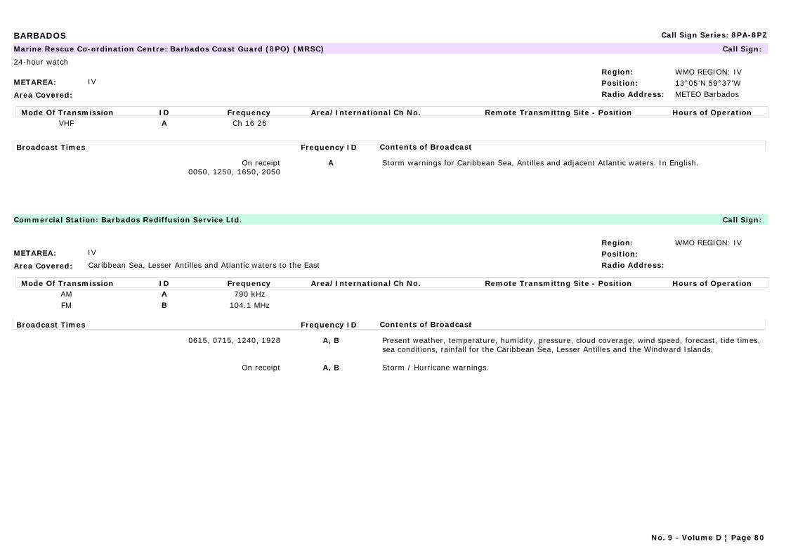
BARBADOS Call Sign Series: 8PA-8PZ
METAREA: IV
Area Covered:
Region: WMO REGION: IVPosition: 13°05'N 59°37'WRadio Address: METEO Barbados
Marine Rescue Co-ordination Centre: Barbados Coast Guard (8PO) (MRSC) Call Sign:
24-hour watch
Mode Of Transmission ID Frequency Area/International Ch No. Remote Transmittng Site - Position Hours of OperationVHF A Ch 16 26
Broadcast Times Frequency ID Contents of Broadcast
On receipt0050, 1250, 1650, 2050
A Storm warnings for Caribbean Sea, Antilles and adjacent Atlantic waters. In English.
METAREA: IV
Area Covered: Caribbean Sea, Lesser Antilles and Atlantic waters to the East
Region: WMO REGION: IVPosition:Radio Address:
Commercial Station: Barbados Rediffusion Service Ltd. Call Sign:
Mode Of Transmission ID Frequency Area/International Ch No. Remote Transmittng Site - Position Hours of OperationAM A 790 kHzFM B 104.1 MHz
Broadcast Times Frequency ID Contents of Broadcast
0615, 0715, 1240, 1928 A, B Present weather, temperature, humidity, pressure, cloud coverage, wind speed, forecast, tide times, sea conditions, rainfall for the Caribbean Sea, Lesser Antilles and the Windward Islands.
On receipt A, B Storm / Hurricane warnings.
No. 9 - Volume D ¦ Page 80
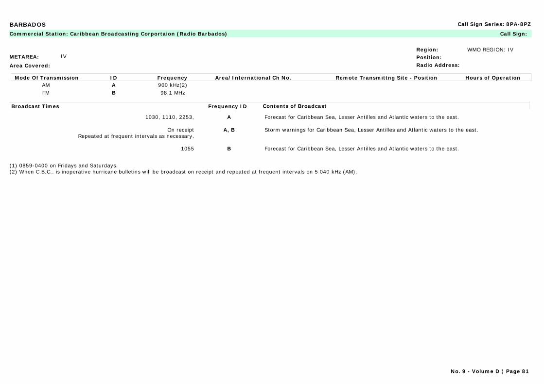
BARBADOS Call Sign Series: 8PA-8PZ
METAREA: IV
Area Covered:
Region: WMO REGION: IVPosition:Radio Address:
Commercial Station: Caribbean Broadcasting Corportaion (Radio Barbados) Call Sign:
Mode Of Transmission ID Frequency Area/International Ch No. Remote Transmittng Site - Position Hours of OperationAM A 900 kHz(2)FM B 98.1 MHz
Broadcast Times Frequency ID Contents of Broadcast
1030, 1110, 2253, A Forecast for Caribbean Sea, Lesser Antilles and Atlantic waters to the east.
On receiptRepeated at frequent intervals as necessary.
A, B Storm warnings for Caribbean Sea, Lesser Antilles and Atlantic waters to the east.
1055 B Forecast for Caribbean Sea, Lesser Antilles and Atlantic waters to the east.
(1) 0859-0400 on Fridays and Saturdays.(2) When C.B.C.. is inoperative hurricane bulletins will be broadcast on receipt and repeated at frequent intervals on 5 040 kHz (AM).
No. 9 - Volume D ¦ Page 81
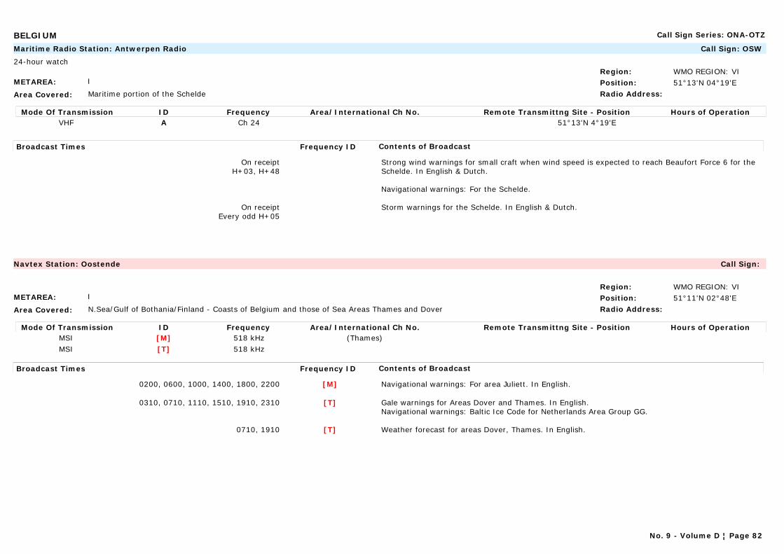
BELGIUM Call Sign Series: ONA-OTZ
METAREA: I
Area Covered: Maritime portion of the Schelde
Region: WMO REGION: VIPosition: 51°13'N 04°19'ERadio Address:
Maritime Radio Station: Antwerpen Radio Call Sign: OSW
24-hour watch
Mode Of Transmission ID Frequency Area/International Ch No. Remote Transmittng Site - Position Hours of OperationVHF A Ch 24 51°13'N 4°19'E
Broadcast Times Frequency ID Contents of Broadcast
On receiptH+03, H+48
Strong wind warnings for small craft when wind speed is expected to reach Beaufort Force 6 for the Schelde. In English & Dutch.
Navigational warnings: For the Schelde.
On receiptEvery odd H+05
Storm warnings for the Schelde. In English & Dutch.
METAREA: I
Area Covered: N.Sea/Gulf of Bothania/Finland - Coasts of Belgium and those of Sea Areas Thames and Dover
Region: WMO REGION: VIPosition: 51°11'N 02°48'ERadio Address:
Navtex Station: Oostende Call Sign:
Mode Of Transmission ID Frequency Area/International Ch No. Remote Transmittng Site - Position Hours of OperationMSI [M] 518 kHz (Thames)MSI [T] 518 kHz
Broadcast Times Frequency ID Contents of Broadcast
0200, 0600, 1000, 1400, 1800, 2200 [M] Navigational warnings: For area Juliett. In English.
0310, 0710, 1110, 1510, 1910, 2310 [T] Gale warnings for Areas Dover and Thames. In English.Navigational warnings: Baltic Ice Code for Netherlands Area Group GG.
0710, 1910 [T] Weather forecast for areas Dover, Thames. In English.
No. 9 - Volume D ¦ Page 82
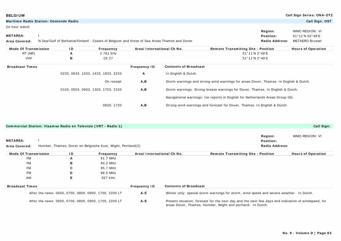
BELGIUM Call Sign Series: ONA-OTZ
METAREA: I
Area Covered: N.Sea/Gulf of Bothania/Finland - Coasts of Belgium and those of Sea Areas Thames and Dover
Region: WMO REGION: VIPosition: 51°11'N 02°48'ERadio Address: METAERO Brussel
Maritime Radio Station: Oostende Radio Call Sign: OST
24-hour watch
Mode Of Transmission ID Frequency Area/International Ch No. Remote Transmittng Site - Position Hours of OperationRT (MF) A 2 761 kHz 51°11'N 2°48'E
VHF B Ch 27 51°11'N 2°48'E
Broadcast Times Frequency ID Contents of Broadcast
0233, 0633, 1033, 1433, 1833, 2233 A In English & Dutch.
On receipt A,B Storm warnings and strong wind warnings for areas Dover, Thames. In English & Dutch.
0103, 0503, 0903, 1303, 1703, 2103 A,B Storm warnings: Strong breeze warnings for Dover, Thames. In English & Dutch.
Navigational warnings: Ice reports in English for Netherlands Areas Group GG.
0820, 1720 A,B Strong wind warnings and forecast for Dover, Thames. In English & Dutch.
METAREA: I
Area Covered: Humber, Thames, Dover en Belgische Kust, Wight, Portland(2)
Region: WMO REGION: VIPosition:Radio Address:
Commercial Station: Vlaamse Radio en Televisie (VRT - Radio 1) Call Sign:
Mode Of Transmission ID Frequency Area/International Ch No. Remote Transmittng Site - Position Hours of OperationFM A 91.7 MHzFM B 94.2 MHzFM C 95.7 MHzFM D 98.5 MHzAM E 927 kHz
Broadcast Times Frequency ID Contents of Broadcast
After the news: 0600, 0700, 0800, 0900, 1700, 2200 LT A-E Winter only: special storm warnings for storm, wind speed and severe weather. In Dutch.
After the news: 0600, 0700, 0800, 0900, 1700, 2200 LT A-E Present situation, forecast for the next day and the next few days and indication of windspeed, for areas Dover, Thames, Humber, Wight and portland. In Dutch.
No. 9 - Volume D ¦ Page 83
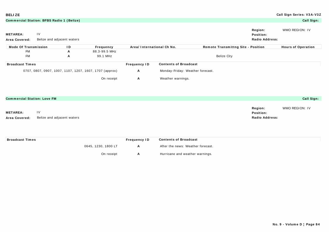
BELIZE Call Sign Series: V3A-V3Z
METAREA: IV
Area Covered: Belize and adjacent waters
Region: WMO REGION: IVPosition:Radio Address:
Commercial Station: BFBS Radio 1 (Belize) Call Sign:
Mode Of Transmission ID Frequency Area/International Ch No. Remote Transmittng Site - Position Hours of OperationFM A 88.3-99.5 MHzFM A 99.1 MHz Belize City
Broadcast Times Frequency ID Contents of Broadcast
0707, 0807, 0907, 1007, 1107, 1207, 1607, 1707 (approx) A Monday-Friday: Weather forecast.
On receipt A Weather warnings.
METAREA: IV
Area Covered: Belize and adjacent waters
Region: WMO REGION: IVPosition:Radio Address:
Commercial Station: Love FM Call Sign:
Broadcast Times Frequency ID Contents of Broadcast
0645, 1230, 1800 LT A After the news: Weather forecast.
On receipt A Hurricane and weather warnings.
No. 9 - Volume D ¦ Page 84
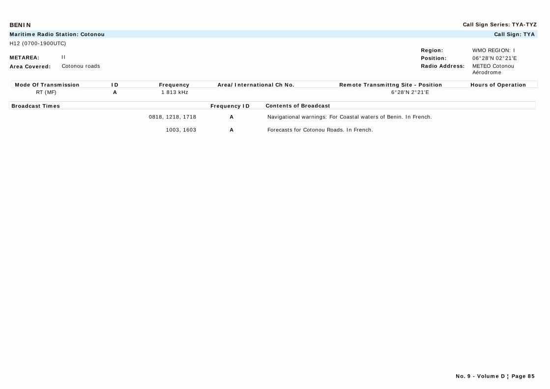
BENIN Call Sign Series: TYA-TYZ
METAREA: II
Area Covered: Cotonou roads
Region: WMO REGION: IPosition: 06°28'N 02°21'ERadio Address: METEO Cotonou
Aérodrome
Maritime Radio Station: Cotonou Call Sign: TYA
H12 (0700-1900UTC)
Mode Of Transmission ID Frequency Area/International Ch No. Remote Transmittng Site - Position Hours of OperationRT (MF) A 1 813 kHz 6°28'N 2°21'E
Broadcast Times Frequency ID Contents of Broadcast
0818, 1218, 1718 A Navigational warnings: For Coastal waters of Benin. In French.
1003, 1603 A Forecasts for Cotonou Roads. In French.
No. 9 - Volume D ¦ Page 85
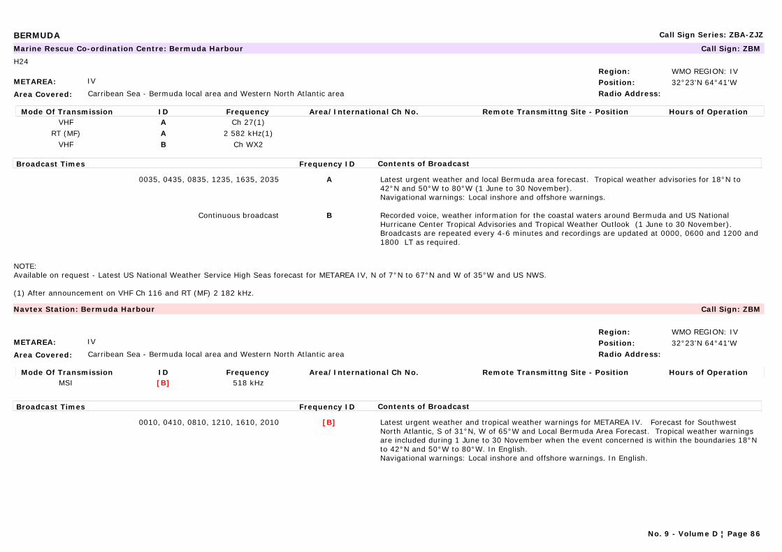
BERMUDA Call Sign Series: ZBA-ZJZ
METAREA: IV
Area Covered: Carribean Sea - Bermuda local area and Western North Atlantic area
Region: WMO REGION: IVPosition: 32°23'N 64°41'WRadio Address:
Marine Rescue Co-ordination Centre: Bermuda Harbour Call Sign: ZBM
H24
Mode Of Transmission ID Frequency Area/International Ch No. Remote Transmittng Site - Position Hours of OperationVHF A Ch 27(1)
RT (MF) A 2 582 kHz(1)VHF B Ch WX2
Broadcast Times Frequency ID Contents of Broadcast
0035, 0435, 0835, 1235, 1635, 2035 A Latest urgent weather and local Bermuda area forecast. Tropical weather advisories for 18°N to 42°N and 50°W to 80°W (1 June to 30 November).Navigational warnings: Local inshore and offshore warnings.
Continuous broadcast B Recorded voice, weather information for the coastal waters around Bermuda and US National Hurricane Center Tropical Advisories and Tropical Weather Outlook (1 June to 30 November). Broadcasts are repeated every 4-6 minutes and recordings are updated at 0000, 0600 and 1200 and 1800 LT as required.
NOTE: Available on request - Latest US National Weather Service High Seas forecast for METAREA IV, N of 7°N to 67°N and W of 35°W and US NWS.
(1) After announcement on VHF Ch 116 and RT (MF) 2 182 kHz.
METAREA: IV
Area Covered: Carribean Sea - Bermuda local area and Western North Atlantic area
Region: WMO REGION: IVPosition: 32°23'N 64°41'WRadio Address:
Navtex Station: Bermuda Harbour Call Sign: ZBM
Mode Of Transmission ID Frequency Area/International Ch No. Remote Transmittng Site - Position Hours of OperationMSI [B] 518 kHz
Broadcast Times Frequency ID Contents of Broadcast
0010, 0410, 0810, 1210, 1610, 2010 [B] Latest urgent weather and tropical weather warnings for METAREA IV. Forecast for Southwest North Atlantic, S of 31°N, W of 65°W and Local Bermuda Area Forecast. Tropical weather warnings are included during 1 June to 30 November when the event concerned is within the boundaries 18°N to 42°N and 50°W to 80°W. In English.Navigational warnings: Local inshore and offshore warnings. In English.
No. 9 - Volume D ¦ Page 86
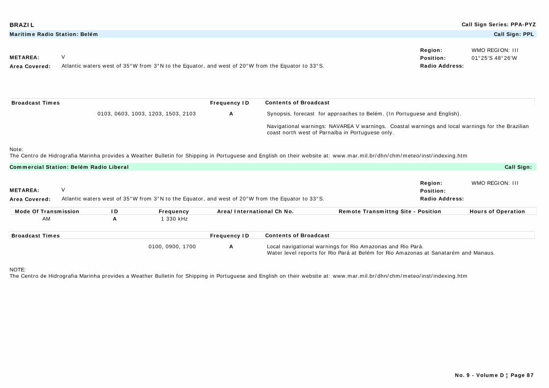
BRAZIL Call Sign Series: PPA-PYZ
METAREA: V
Area Covered: Atlantic waters west of 35°W from 3°N to the Equator, and west of 20°W from the Equator to 33°S.
Region: WMO REGION: IIIPosition: 01°25'S 48°26'WRadio Address:
Maritime Radio Station: Belém Call Sign: PPL
Broadcast Times Frequency ID Contents of Broadcast
0103, 0603, 1003, 1203, 1503, 2103 A Synopsis, forecast for approaches to Belém. (In Portuguese and English).
Navigational warnings: NAVAREA V warnings. Coastal warnings and local warnings for the Brazilian coast north west of Parnaíba in Portuguese only.
Note:The Centro de Hidrografia Marinha provides a Weather Bulletin for Shipping in Portuguese and English on their website at: www.mar.mil.br/dhn/chm/meteo/inst/indexing.htm
METAREA: V
Area Covered: Atlantic waters west of 35°W from 3°N to the Equator, and west of 20°W from the Equator to 33°S.
Region: WMO REGION: IIIPosition:Radio Address:
Commercial Station: Belém Radio Liberal Call Sign:
Mode Of Transmission ID Frequency Area/International Ch No. Remote Transmittng Site - Position Hours of OperationAM A 1 330 kHz
Broadcast Times Frequency ID Contents of Broadcast
0100, 0900, 1700 A Local navigational warnings for Rio Amazonas and Rio Pará.Water level reports for Rio Pará at Belém for Rio Amazonas at Sanatarém and Manaus.
NOTE:The Centro de Hidrografia Marinha provides a Weather Bulletin for Shipping in Portuguese and English on their website at: www.mar.mil.br/dhn/chm/meteo/inst/indexing.htm
No. 9 - Volume D ¦ Page 87
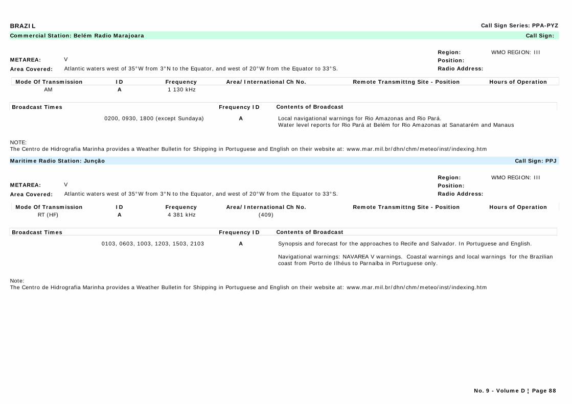
BRAZIL Call Sign Series: PPA-PYZ
METAREA: V
Area Covered: Atlantic waters west of 35°W from 3°N to the Equator, and west of 20°W from the Equator to 33°S.
Region: WMO REGION: IIIPosition:Radio Address:
Commercial Station: Belém Radio Marajoara Call Sign:
Mode Of Transmission ID Frequency Area/International Ch No. Remote Transmittng Site - Position Hours of OperationAM A 1 130 kHz
Broadcast Times Frequency ID Contents of Broadcast
0200, 0930, 1800 (except Sundaya) A Local navigational warnings for Rio Amazonas and Rio Pará.Water level reports for Rio Pará at Belém for Rio Amazonas at Sanatarém and Manaus
NOTE:The Centro de Hidrografia Marinha provides a Weather Bulletin for Shipping in Portuguese and English on their website at: www.mar.mil.br/dhn/chm/meteo/inst/indexing.htm
METAREA: V
Area Covered: Atlantic waters west of 35°W from 3°N to the Equator, and west of 20°W from the Equator to 33°S.
Region: WMO REGION: IIIPosition:Radio Address:
Maritime Radio Station: Junção Call Sign: PPJ
Mode Of Transmission ID Frequency Area/International Ch No. Remote Transmittng Site - Position Hours of OperationRT (HF) A 4 381 kHz (409)
Broadcast Times Frequency ID Contents of Broadcast
0103, 0603, 1003, 1203, 1503, 2103 A Synopsis and forecast for the approaches to Recife and Salvador. In Portuguese and English.
Navigational warnings: NAVAREA V warnings. Coastal warnings and local warnings for the Brazilian coast from Porto de Ilhéus to Parnaíba in Portuguese only.
Note:The Centro de Hidrografia Marinha provides a Weather Bulletin for Shipping in Portuguese and English on their website at: www.mar.mil.br/dhn/chm/meteo/inst/indexing.htm
No. 9 - Volume D ¦ Page 88
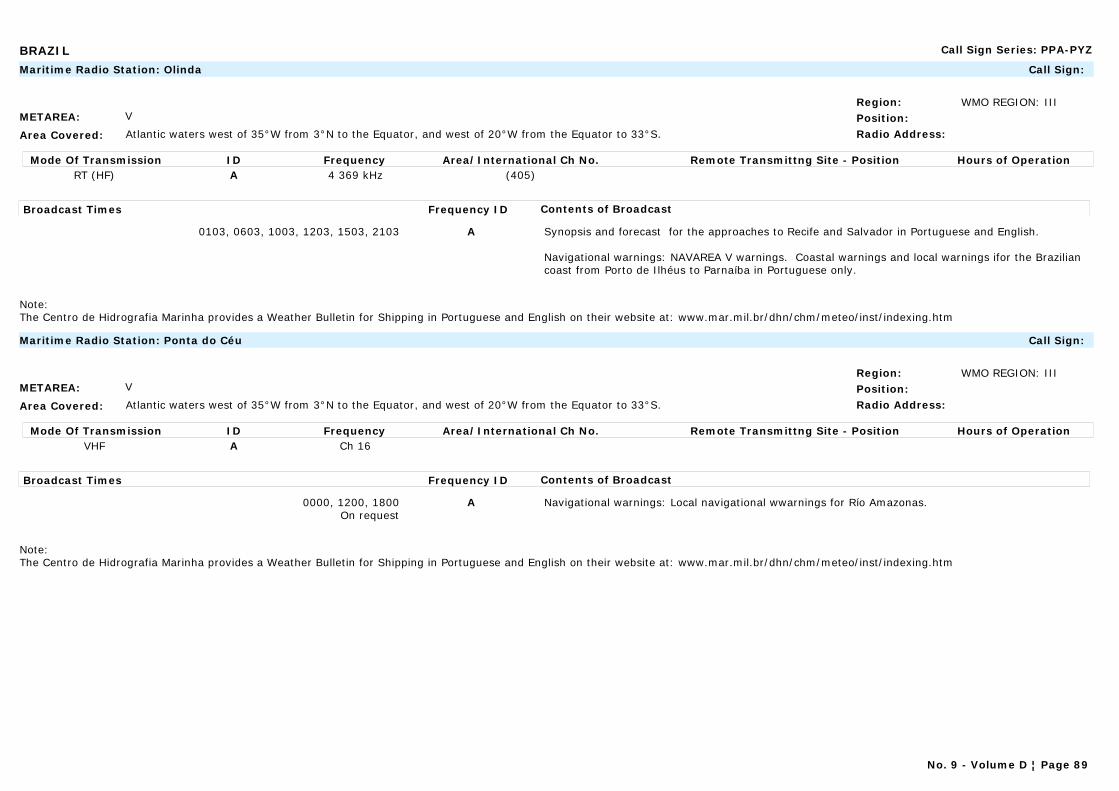
BRAZIL Call Sign Series: PPA-PYZ
METAREA: V
Area Covered: Atlantic waters west of 35°W from 3°N to the Equator, and west of 20°W from the Equator to 33°S.
Region: WMO REGION: IIIPosition:Radio Address:
Maritime Radio Station: Olinda Call Sign:
Mode Of Transmission ID Frequency Area/International Ch No. Remote Transmittng Site - Position Hours of OperationRT (HF) A 4 369 kHz (405)
Broadcast Times Frequency ID Contents of Broadcast
0103, 0603, 1003, 1203, 1503, 2103 A Synopsis and forecast for the approaches to Recife and Salvador in Portuguese and English.
Navigational warnings: NAVAREA V warnings. Coastal warnings and local warnings ifor the Brazilian coast from Porto de Ilhéus to Parnaíba in Portuguese only.
Note:The Centro de Hidrografia Marinha provides a Weather Bulletin for Shipping in Portuguese and English on their website at: www.mar.mil.br/dhn/chm/meteo/inst/indexing.htm
METAREA: V
Area Covered: Atlantic waters west of 35°W from 3°N to the Equator, and west of 20°W from the Equator to 33°S.
Region: WMO REGION: IIIPosition:Radio Address:
Maritime Radio Station: Ponta do Céu Call Sign:
Mode Of Transmission ID Frequency Area/International Ch No. Remote Transmittng Site - Position Hours of OperationVHF A Ch 16
Broadcast Times Frequency ID Contents of Broadcast
0000, 1200, 1800On request
A Navigational warnings: Local navigational wwarnings for Río Amazonas.
Note:The Centro de Hidrografia Marinha provides a Weather Bulletin for Shipping in Portuguese and English on their website at: www.mar.mil.br/dhn/chm/meteo/inst/indexing.htm
No. 9 - Volume D ¦ Page 89

BRAZIL Call Sign Series: PPA-PYZ
METAREA: V
Area Covered: Atlantic waters west of 35°W from 3°N to the Equator, and west of 20°W from the Equator to 33°S.
Region: WMO REGION: IIIPosition:Radio Address:
Commercial Station: Radio Nacional de Macapá Call Sign:
Mode Of Transmission ID Frequency Area/International Ch No. Remote Transmittng Site - Position Hours of OperationAM A 630 kHz
Broadcast Times Frequency ID Contents of Broadcast
1100, 1600, 2130 A Local navigational warnings for Río Amazonas and Río Pará.Water level reports for Río Pará at Belém for Río Amazonas at Sanatarém and Manaus.
NOTE:The Centro de Hidrografia Marinha provides a Weather Bulletin for Shipping in Portuguese and English on their website at: www.mar.mil.br/dhn/chm/meteo/inst/indexing.htm
No. 9 - Volume D ¦ Page 90
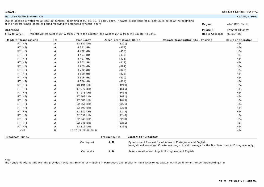
BRAZIL Call Sign Series: PPA-PYZ
METAREA: V
Area Covered: Atlantic waters west of 35°W from 3°N to the Equator, and west of 20°W from the Equator to 33°S.
Region: WMO REGION: III
Position: 22°58'S 43°40'WRadio Address: METEO RIO
Maritime Radio Station: Río Call Sign: PPR
Station keeping a watch for at least 30 minutes: beginning at 00, 06, 12, 18 UTC daily. A watch is also kept for at least 30 minutes at the beginning of the nearest "single operator period following the standard synoptic hours
Mode Of Transmission ID Frequency Area/International Ch No. Remote Transmittng Site - Position Hours of OperationRT (HF) A 13 137 kHz (1221) H24RT (HF) A 4 381 kHz (409) H24RT (HF) A 4 402 kHz (416) H24RT (HF) A 4 411 kHz (419) H24RT (HF) A 4 417 kHz (421) H24RT (HF) A 8 773 kHz (819) H24RT (HF) A 8 779 kHz (821) H24RT (HF) A 8 782 kHz (822) H24RT (HF) A 8 800 kHz (828) H24RT (HF) A 8 806 kHz (830) H24RT (HF) A 4 366 kHz (404) H24RT (HF) A 13 131 kHz (1219) H24RT (HF) A 17 272 kHz (1611) H24RT (HF) A 17 278 kHz (1613) H24RT (HF) A 17 302 kHz (1621) H24RT (HF) A 17 386 kHz (1649) H24RT (HF) A 22 756 kHz (2221) H24RT (HF) A 22 807 kHz (2238) H24RT (HF) A 22 822 kHz (2243) H24RT (HF) A 22 831 kHz (2246) H24RT (HF) A 22 843 kHz (2250) H24RT (HF) A 22 846 kHz (2251) H24RT (HF) A 13 116 kHz (1214) H24
VHF B 25 26 27 28 68 69 70 H24
Broadcast Times Frequency ID Contents of Broadcast
On request A, B Synopsis and forecast for all Areas in Portuguese and English.Navigational warnings: Coastal warnings. Local warnings for the Brazilian coast in Portuguese only.
On receipt A, B Severe weather warnings in Portuguese and English.
Note:The Centro de Hidrografia Marinha provides a Weather Bulletin for Shipping in Portuguese and English on their website at: www.mar.mil.br/dhn/chm/meteo/inst/indexing.htm
No. 9 - Volume D ¦ Page 91

BRAZIL Call Sign Series: PPA-PYZ
METAREA: V
Area Covered: Atlantic waters west of 35°W from 3°N to the Equator, and west of 20°W from the Equator to 33°S.
Region: WMO REGION: IIIPosition:Radio Address:
Marine Rescue Co-ordination Centre: Rio de Janeiro Naval Call Sign: PWZ33
Mode Of Transmission ID Frequency Area/International Ch No. Remote Transmittng Site - Position Hours of Operation Radio-data (J2D) A 16 974 kHz Radio-data (J2D) A 12 709 kHz Radio-data (J2D) A 8 580 kHz Radio-data (J2D) A 6 448 kHz Radio-data (J2D) A 4 266 kHz(1)Radio-telex (F1B) B 16 974 kHzRadio-telex (F1B) B 12 709 kHzRadio-telex (F1B) B 8 580 kHzRadio-telex (F1B) B 6 448 kHzRadio-telex (F1B) B 4 266 kHz(1)
Broadcast Times Frequency ID Contents of Broadcast
1430 A Navigational warnings: NAVAREA V warnings. Coastal warnings. In Portuguese and English.Local warnings in Portuguese only.
0230 A Weather bulletins.
0400, 2130 B Navigational warnings: NAVAREA V warnings. Coastal warnings. In Portuguese and English.Local warnings in Portuguese only.
0600, 1845 B Weather bulletins.
Note:The Centro de Hidrografia Marinha provides a Weather Bulletin for Shipping in Portuguese and English on their website at: www.mar.mil.br/dhn/chm/meteo/inst/indexing.htm
(1) On request.
No. 9 - Volume D ¦ Page 92
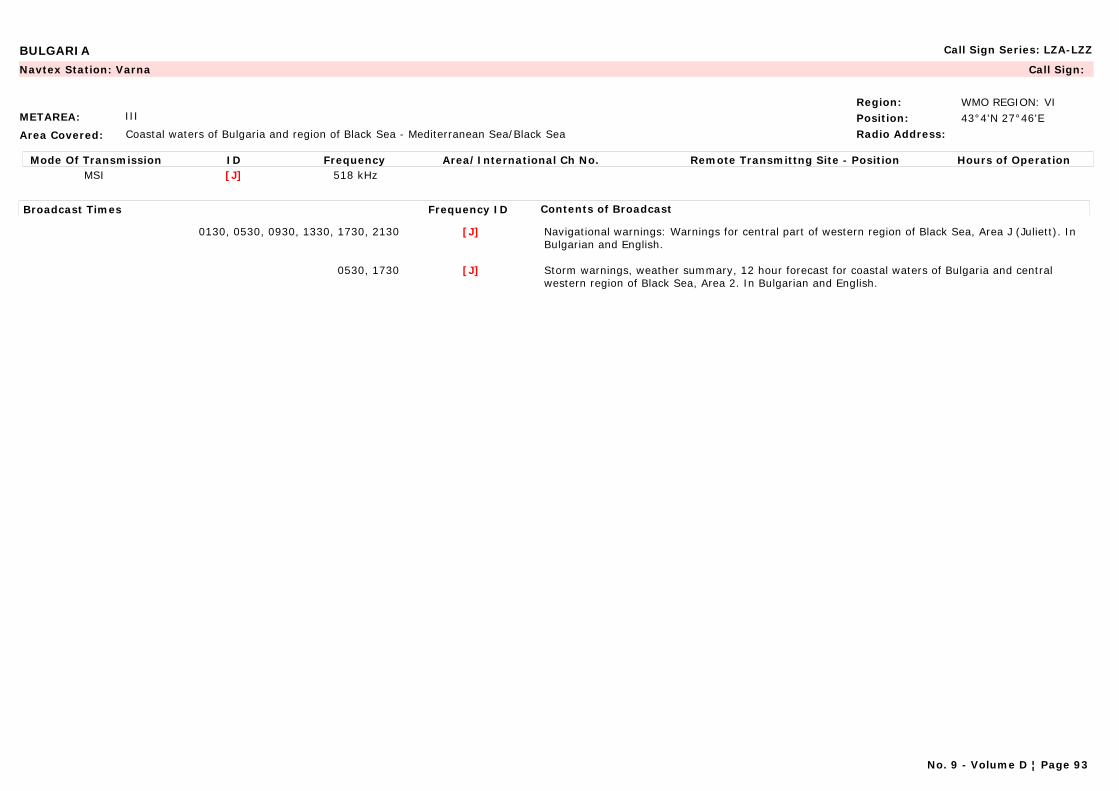
BULGARIA Call Sign Series: LZA-LZZ
METAREA: III
Area Covered: Coastal waters of Bulgaria and region of Black Sea - Mediterranean Sea/Black Sea
Region: WMO REGION: VIPosition: 43°4'N 27°46'ERadio Address:
Navtex Station: Varna Call Sign:
Mode Of Transmission ID Frequency Area/International Ch No. Remote Transmittng Site - Position Hours of OperationMSI [J] 518 kHz
Broadcast Times Frequency ID Contents of Broadcast
0130, 0530, 0930, 1330, 1730, 2130 [J] Navigational warnings: Warnings for central part of western region of Black Sea, Area J (Juliett). In Bulgarian and English.
0530, 1730 [J] Storm warnings, weather summary, 12 hour forecast for coastal waters of Bulgaria and central western region of Black Sea, Area 2. In Bulgarian and English.
No. 9 - Volume D ¦ Page 93

BULGARIA Call Sign Series: LZA-LZZ
METAREA: III
Area Covered: Mediterranean Sea/Black Sea - Coastal waters of Bulgaria and region of Black Sea
Region: WMO REGION: VIPosition: 43°04'N 27°46'ERadio Address:
Maritime Radio Station: Varna Radio Call Sign: LZW
H24
Mode Of Transmission ID Frequency Area/International Ch No. Remote Transmittng Site - Position Hours of OperationRT (MF) A 3 740 kHz (1) 43°04'N 27°46'E
Radio-telex B 4 218.5 kHz (418) (2) 43°04'N 27°46'ERadio-telex C 12 587 kHz (1216) (2) 43°04'N 27°46'E
VHF D Ch 26 (3) Varna 43°15'N 27°57'EVHF D Ch 26 (3) Peak Kitka 42°18'N 27°45'EVHF D Ch 26 (3) Cape Kaliakra 42°43'N 27°52'EVHF D Ch 26 (3) Cape Emine 42°43'N 27°52'E
Broadcast Times Frequency ID Contents of Broadcast
1303 A Observations from stations at Shabla, Cap Kaliakra, Varna, Cap Emine, Bourgas and Ahtopol. In Bulgarian and English
0703, 1903 A Storm warnings, weather summary, 12 hour forecast for coastal waters of Bulgaria and central western region of Black Sea, Area 2.Navigational warnings: For central part of western region of Black Sea, Area 2.
On receipt A-D Storm and gale warnings. In Bulgarian and English.Navigational warnings: For central part of western region of Black Sea, Area 2.
0630, 1830 B,C Storm warnings, weather summary, 12 hour forecast for coastal waters of Bulgaria and central western region of Black Sea, Area 2. In Bulgarian and English.Navigational warnings: For central part of western region of Black Sea, Area 2.
1230 C Observations from stations at Shabla, Cap Kaliakra, Varna, Cap Emine, Bourgas and Ahtopol. In Bulgarian and English
1333 D Observations from stations at Shabla, Cap Kaliakra, Varna, Cap Emine, Bourgas and Ahtopol.
0733, 1933 D Storm warnings, weather summary, 12 hour forecast for coastal waters of Bulgaria and central western region of Black Sea, Area 2. In Bulgarian and English.Navigational warnings: For central part of western region of Black Sea, Area 2.
(1) After prior announcement on DSC 2187.5 kHz.(2) After prior announcement on DSC 4207.5 kHz.(3) After prior announcement on DSC CH 70 and Ch 16.
No. 9 - Volume D ¦ Page 94

CANADA Call Sign Series: VAA-VGZ
METAREA: IV
Area Covered: Arctic coast, Atlantic Coast and S. Lawrence River
Region: WMO REGION: IVPosition:Radio Address:
Marine Rescue Co-ordination Centre: Churchill (CCG) Call Sign:
Note: Remotely controlled from station Thunder Bay.
No. 9 - Volume D ¦ Page 95
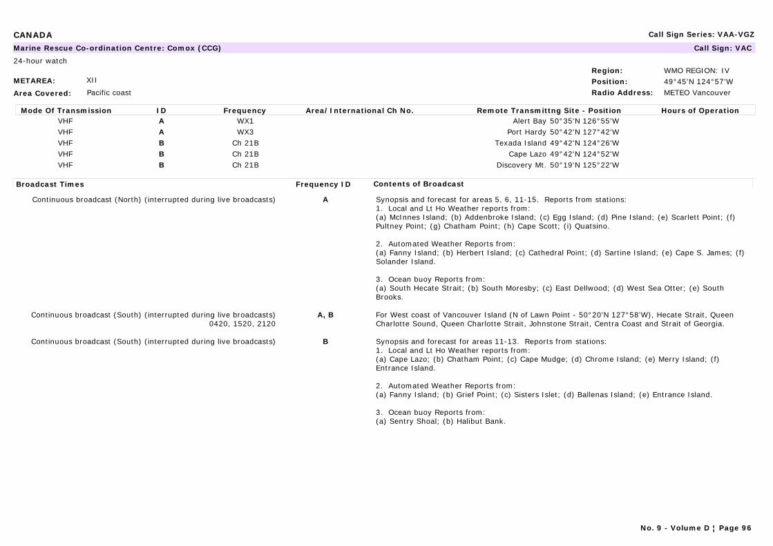
CANADA Call Sign Series: VAA-VGZ
METAREA: XII
Area Covered: Pacific coast
Region: WMO REGION: IVPosition: 49°45'N 124°57'WRadio Address: METEO Vancouver
Marine Rescue Co-ordination Centre: Comox (CCG) Call Sign: VAC
24-hour watch
Mode Of Transmission ID Frequency Area/International Ch No. Remote Transmittng Site - Position Hours of OperationVHF A WX1 Alert Bay 50°35'N 126°55'WVHF A WX3 Port Hardy 50°42'N 127°42'WVHF B Ch 21B Texada Island 49°42'N 124°26'WVHF B Ch 21B Cape Lazo 49°42'N 124°52'WVHF B Ch 21B Discovery Mt. 50°19'N 125°22'W
Broadcast Times Frequency ID Contents of Broadcast
Continuous broadcast (North) (interrupted during live broadcasts) A Synopsis and forecast for areas 5, 6, 11-15. Reports from stations:1. Local and Lt Ho Weather reports from: (a) McInnes Island; (b) Addenbroke Island; (c) Egg Island; (d) Pine Island; (e) Scarlett Point; (f) Pultney Point; (g) Chatham Point; (h) Cape Scott; (i) Quatsino.
2. Automated Weather Reports from:(a) Fanny Island; (b) Herbert Island; (c) Cathedral Point; (d) Sartine Island; (e) Cape S. James; (f) Solander Island.
3. Ocean buoy Reports from:(a) South Hecate Strait; (b) South Moresby; (c) East Dellwood; (d) West Sea Otter; (e) South Brooks.
Continuous broadcast (South) (interrupted during live broadcasts)0420, 1520, 2120
A, B For West coast of Vancouver Island (N of Lawn Point - 50°20'N 127°58'W), Hecate Strait, Queen Charlotte Sound, Queen Charlotte Strait, Johnstone Strait, Centra Coast and Strait of Georgia.
Continuous broadcast (South) (interrupted during live broadcasts) B Synopsis and forecast for areas 11-13. Reports from stations:1. Local and Lt Ho Weather reports from: (a) Cape Lazo; (b) Chatham Point; (c) Cape Mudge; (d) Chrome Island; (e) Merry Island; (f) Entrance Island.
2. Automated Weather Reports from:(a) Fanny Island; (b) Grief Point; (c) Sisters Islet; (d) Ballenas Island; (e) Entrance Island.
3. Ocean buoy Reports from:(a) Sentry Shoal; (b) Halibut Bank.
No. 9 - Volume D ¦ Page 96

CANADA Call Sign Series: VAA-VGZ
METAREA: IV
Area Covered: Arctic coast, Atlantic Coast and S. Lawrence River
Region: WMO REGION: IVPosition: 43°45'N 66°10'WRadio Address: METEO Halifax
Navtex Station: Fundy (Yarmouth) (CCG) Call Sign: VAR
24-hour watch
Mode Of Transmission ID Frequency Area/International Ch No. Remote Transmittng Site - Position Hours of OperationMSI [V] 490 kHzMSI [U] 518 kHz
Broadcast Times Frequency ID Contents of Broadcast
0335, 1535 [V] Navigational warnings: Notices to Shipping. In French.
0735, 1135, 1935, 2335 [V] Weather and sea state forecasts for Areas 201-208. In French.
0320, 1520 [U] Navigational warnings: Notices to Shipping. In English.
0720, 1120, 1920, 2320 [U] Weather and sea state forecasts for Areas 201-208. In English.
No. 9 - Volume D ¦ Page 97
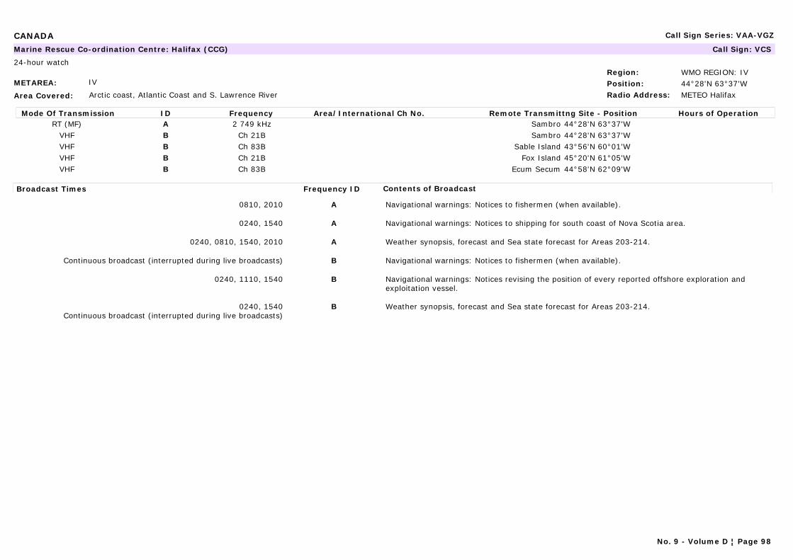
CANADA Call Sign Series: VAA-VGZ
METAREA: IV
Area Covered: Arctic coast, Atlantic Coast and S. Lawrence River
Region: WMO REGION: IVPosition: 44°28'N 63°37'WRadio Address: METEO Halifax
Marine Rescue Co-ordination Centre: Halifax (CCG) Call Sign: VCS
24-hour watch
Mode Of Transmission ID Frequency Area/International Ch No. Remote Transmittng Site - Position Hours of OperationRT (MF) A 2 749 kHz Sambro 44°28'N 63°37'W
VHF B Ch 21B Sambro 44°28'N 63°37'WVHF B Ch 83B Sable Island 43°56'N 60°01'WVHF B Ch 21B Fox Island 45°20'N 61°05'WVHF B Ch 83B Ecum Secum 44°58'N 62°09'W
Broadcast Times Frequency ID Contents of Broadcast
0810, 2010 A Navigational warnings: Notices to fishermen (when available).
0240, 1540 A Navigational warnings: Notices to shipping for south coast of Nova Scotia area.
0240, 0810, 1540, 2010 A Weather synopsis, forecast and Sea state forecast for Areas 203-214.
Continuous broadcast (interrupted during live broadcasts) B Navigational warnings: Notices to fishermen (when available).
0240, 1110, 1540 B Navigational warnings: Notices revising the position of every reported offshore exploration and exploitation vessel.
0240, 1540Continuous broadcast (interrupted during live broadcasts)
B Weather synopsis, forecast and Sea state forecast for Areas 203-214.
No. 9 - Volume D ¦ Page 98
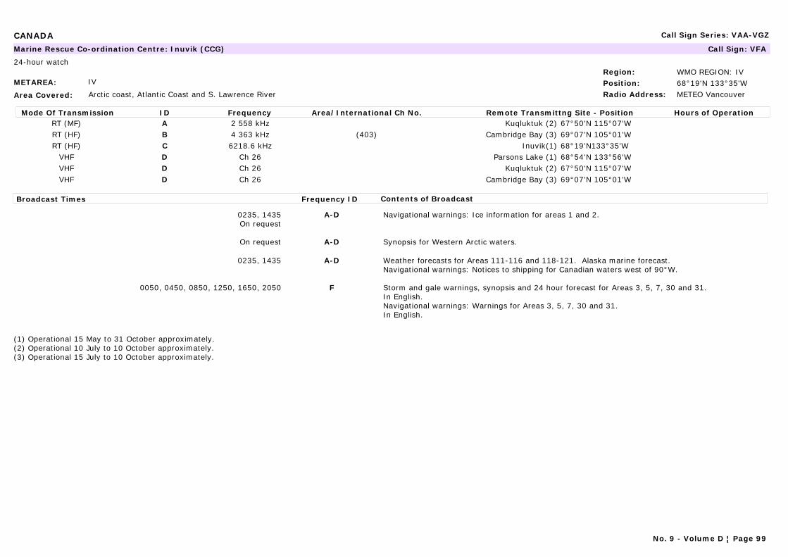
CANADA Call Sign Series: VAA-VGZ
METAREA: IV
Area Covered: Arctic coast, Atlantic Coast and S. Lawrence River
Region: WMO REGION: IVPosition: 68°19'N 133°35'WRadio Address: METEO Vancouver
Marine Rescue Co-ordination Centre: Inuvik (CCG) Call Sign: VFA
24-hour watch
Mode Of Transmission ID Frequency Area/International Ch No. Remote Transmittng Site - Position Hours of OperationRT (MF) A 2 558 kHz Kuqluktuk (2) 67°50'N 115°07'WRT (HF) B 4 363 kHz (403) Cambridge Bay (3) 69°07'N 105°01'WRT (HF) C 6218.6 kHz Inuvik(1) 68°19'N133°35'W
VHF D Ch 26 Parsons Lake (1) 68°54'N 133°56'WVHF D Ch 26 Kuqluktuk (2) 67°50'N 115°07'WVHF D Ch 26 Cambridge Bay (3) 69°07'N 105°01'W
Broadcast Times Frequency ID Contents of Broadcast
0235, 1435On request
A-D Navigational warnings: Ice information for areas 1 and 2.
On request A-D Synopsis for Western Arctic waters.
0235, 1435 A-D Weather forecasts for Areas 111-116 and 118-121. Alaska marine forecast.Navigational warnings: Notices to shipping for Canadian waters west of 90°W.
0050, 0450, 0850, 1250, 1650, 2050 F Storm and gale warnings, synopsis and 24 hour forecast for Areas 3, 5, 7, 30 and 31.In English.Navigational warnings: Warnings for Areas 3, 5, 7, 30 and 31.In English.
(1) Operational 15 May to 31 October approximately.(2) Operational 10 July to 10 October approximately.(3) Operational 15 July to 10 October approximately.
No. 9 - Volume D ¦ Page 99

CANADA Call Sign Series: VAA-VGZ
METAREA: XVIII
Area Covered: Arctic coast, Atlantic Coast and S. Lawrence River
Region: WMO REGION: IVPosition: 63°44'N 68°33'WRadio Address:
Navtex Station: Iqaluit (Canadian Coast Guard) Call Sign:
Mode Of Transmission ID Frequency Area/International Ch No. Remote Transmittng Site - Position Hours of OperationMSI [S] 490 kHzMSI [T] 518 kHz
Broadcast Times Frequency ID Contents of Broadcast
1100, 2300 [S] Navigational warnings: 25 June - 30 November approximately:Notices to Shipping for NORDREG waters, east of 106°W and labrador coast southward to 58°N. Ice bulletins for Areas 3-5. In French.
0300, 0700, 1500, 1900 [S] 25 June - 30 November approximately:Weather forecasts for Areas 144, 145 and 147-150. In French.
1110, 2310 [T] Navigational warnings: 25 June - 30 November approximately:Notices to Shipping for NORDREG waters, east of 106°W and labrador coast southward to 58°N. Ice bulletins for Areas 3-5. In English.
0310, 0710, 1510, 1910 [T] 25 June - 30 November approximately:Weather forecasts for Areas 144, 145 and 147-150. In English.
No. 9 - Volume D ¦ Page 100

CANADA Call Sign Series: VAA-VGZ
METAREA: XVIII
Area Covered: Arctic coast, Atlantic Coast and S. Lawrence River
Region: WMO REGION: IVPosition: 63°44'N 68°33'WRadio Address: METEO Halifax
Marine Rescue Co-ordination Centre: Iqaluit (CCG) Call Sign: VFF
24-hour watch
Mode Of Transmission ID Frequency Area/International Ch No. Remote Transmittng Site - Position Hours of OperationRT (MF) A 2 514 kHz Coral Harbour (1) 64°09'N 83°22'WRT (MF) B 2 514 kHz Killinek (2) 60°25'N 64°50'WRT (HF) C 2 582 kHz Iqaluit (3) 63°44'N 68°33'WRT (HF) D 2 582 kHz Resolute (1) 74°45'N 94°58'WRT (HF) E 4 363 kHz (403) Resolute (1) 74°45'N 94°58'WRT (HF) F 4 363 kHz (403) Iqaluit (3) 63°44'N 68°33'WRT (HF) G 6 507 kHz (603) Iqaluit (3) 63°44'N 68°33'WRT (HF) H 6 513 kHz (605) Coral Harbour (1) 64°09'N 83°22'W
Broadcast Times Frequency ID Contents of Broadcast
1705 A-H Navigational warnings: Ice boundary information for Areas 3-8. Other bulletins on request.
0110-1320 A-H Synopsis and forecasts for Areas 150, 155, 156, 162, 311 and 312 and for Areas 151-154, 159-161, 163, 164 and 310 on request.Navigational warnings: For all NORDREG waters east of 106°W and southward along the Labrador coast to 58°N.
1340, 2235 B, D, E, G Synopsis and forecasts for Areas 139-142, 144-149 and 228-230 and for areas 137, 138, 143 and 150 on request.Navigational warnings: Notices to fishermen when available.
1240, 2310 C, F Synopsis and forecasts for Areas 125 and 135-138 and forecasts and summaries for other areas on request.
(1) Operational 15 July to 31 October approximately.(2) Operational 25 June to 31 October approximately.(3) Operational 25 June to 30 November approximately.
No. 9 - Volume D ¦ Page 101
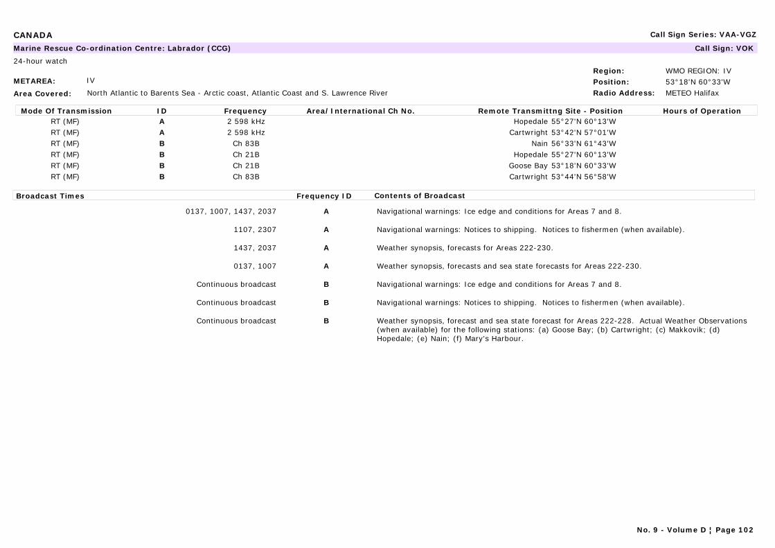
CANADA Call Sign Series: VAA-VGZ
METAREA: IV
Area Covered: North Atlantic to Barents Sea - Arctic coast, Atlantic Coast and S. Lawrence River
Region: WMO REGION: IVPosition: 53°18'N 60°33'WRadio Address: METEO Halifax
Marine Rescue Co-ordination Centre: Labrador (CCG) Call Sign: VOK
24-hour watch
Mode Of Transmission ID Frequency Area/International Ch No. Remote Transmittng Site - Position Hours of OperationRT (MF) A 2 598 kHz Hopedale 55°27'N 60°13'WRT (MF) A 2 598 kHz Cartwright 53°42'N 57°01'WRT (MF) B Ch 83B Nain 56°33'N 61°43'WRT (MF) B Ch 21B Hopedale 55°27'N 60°13'WRT (MF) B Ch 21B Goose Bay 53°18'N 60°33'WRT (MF) B Ch 83B Cartwright 53°44'N 56°58'W
Broadcast Times Frequency ID Contents of Broadcast
0137, 1007, 1437, 2037 A Navigational warnings: Ice edge and conditions for Areas 7 and 8.
1107, 2307 A Navigational warnings: Notices to shipping. Notices to fishermen (when available).
1437, 2037 A Weather synopsis, forecasts for Areas 222-230.
0137, 1007 A Weather synopsis, forecasts and sea state forecasts for Areas 222-230.
Continuous broadcast B Navigational warnings: Ice edge and conditions for Areas 7 and 8.
Continuous broadcast B Navigational warnings: Notices to shipping. Notices to fishermen (when available).
Continuous broadcast B Weather synopsis, forecast and sea state forecast for Areas 222-228. Actual Weather Observations (when available) for the following stations: (a) Goose Bay; (b) Cartwright; (c) Makkovik; (d) Hopedale; (e) Nain; (f) Mary's Harbour.
No. 9 - Volume D ¦ Page 102
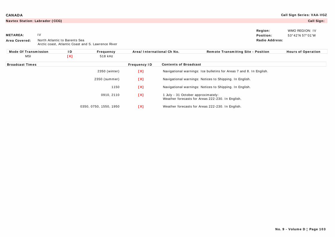
CANADA Call Sign Series: VAA-VGZ
METAREA: IV
Area Covered: North Atlantic to Barents SeaArctic coast, Atlantic Coast and S. Lawrence River
Region: WMO REGION: IVPosition: 53°42'N 57°01'WRadio Address:
Navtex Station: Labrador (CCG) Call Sign:
Mode Of Transmission ID Frequency Area/International Ch No. Remote Transmittng Site - Position Hours of OperationMSI [X] 518 kHz
Broadcast Times Frequency ID Contents of Broadcast
2350 (winter) [X] Navigational warnings: Ice bulletins for Areas 7 and 8. In English.
2350 (summer) [X] Navigational warnings: Notices to Shipping. In English.
1150 [X] Navigational warnings: Notices to Shipping. In English.
0910, 2110 [X] 1 July - 31 October approximately:Weather forecasts for Areas 222-230. In English.
0350, 0750, 1550, 1950 [X] Weather forecasts for Areas 222-230. In English.
No. 9 - Volume D ¦ Page 103
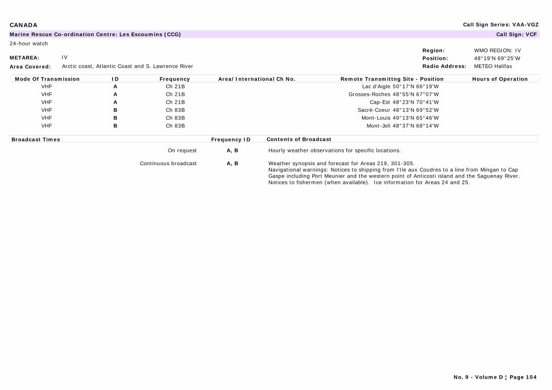
CANADA Call Sign Series: VAA-VGZ
METAREA: IV
Area Covered: Arctic coast, Atlantic Coast and S. Lawrence River
Region: WMO REGION: IVPosition: 48°19'N 69°25'WRadio Address: METEO Halifax
Marine Rescue Co-ordination Centre: Les Escoumins (CCG) Call Sign: VCF
24-hour watch
Mode Of Transmission ID Frequency Area/International Ch No. Remote Transmittng Site - Position Hours of OperationVHF A Ch 21B Lac d'Aigle 50°17'N 66°19'WVHF A Ch 21B Grosses-Roches 48°55'N 67°07'WVHF A Ch 21B Cap-Est 48°23'N 70°41'WVHF B Ch 83B Sacré-Coeur 48°13'N 69°52'WVHF B Ch 83B Mont-Louis 49°13'N 65°46'WVHF B Ch 83B Mont-Joli 48°37'N 68°14'W
Broadcast Times Frequency ID Contents of Broadcast
On request A, B Hourly weather observations for specific locations.
Continuous broadcast A, B Weather synopsis and forecast for Areas 219, 301-305.Navigational warnings: Notices to shipping from l'Ile aux Coudres to a line from Mingan to Cap Gaspe including Port Meunier and the western point of Anticosti island and the Saguenay River. Notices to fishermen (when available). Ice information for Areas 24 and 25.
No. 9 - Volume D ¦ Page 104
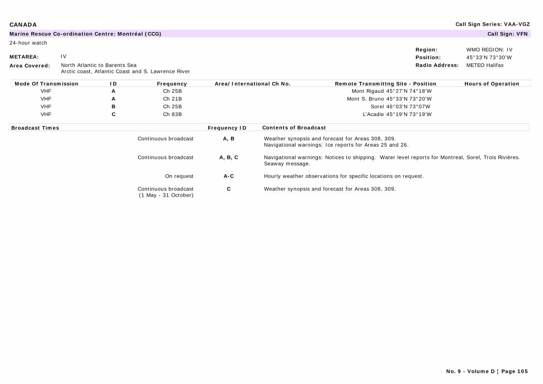
CANADA Call Sign Series: VAA-VGZ
METAREA: IV
Area Covered: North Atlantic to Barents SeaArctic coast, Atlantic Coast and S. Lawrence River
Region: WMO REGION: IVPosition: 45°33'N 73°30'WRadio Address: METEO Halifax
Marine Rescue Co-ordination Centre: Montréal (CCG) Call Sign: VFN
24-hour watch
Mode Of Transmission ID Frequency Area/International Ch No. Remote Transmittng Site - Position Hours of OperationVHF A Ch 25B Mont Rigaud 45°27'N 74°18'WVHF A Ch 21B Mont S. Bruno 45°33'N 73°20'WVHF B Ch 25B Sorel 46°03'N 73°07WVHF C Ch 83B L'Acadie 45°19'N 73°19'W
Broadcast Times Frequency ID Contents of Broadcast
Continuous broadcast A, B Weather synopsis and forecast for Areas 308, 309.Navigational warnings: Ice reports for Areas 25 and 26.
Continuous broadcast A, B, C Navigational warnings: Notices to shipping. Water level reports for Montreal, Sorel, Trois Rivières. Seaway message.
On request A-C Hourly weather observations for specific locations on request.
Continuous broadcast(1 May - 31 October)
C Weather synopsis and forecast for Areas 308, 309.
No. 9 - Volume D ¦ Page 105
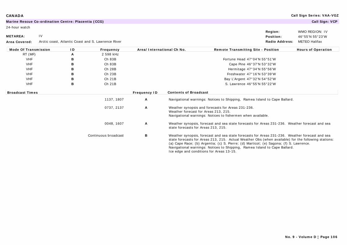
CANADA Call Sign Series: VAA-VGZ
METAREA: IV
Area Covered: Arctic coast, Atlantic Coast and S. Lawrence River
Region: WMO REGION: IVPosition: 46°55'N 55°23'WRadio Address: METEO Halifax
Marine Rescue Co-ordination Centre: Placentia (CCG) Call Sign: VCP
24-hour watch
Mode Of Transmission ID Frequency Area/International Ch No. Remote Transmittng Site - Position Hours of OperationRT (MF) A 2 598 kHz
VHF B Ch 83B Fortune Head 47°04'N 55°51'WVHF B Ch 83B Cape Pine 46°37'N 53°32'WVHF B Ch 28B Hermitage 47°34'N 55°56'WVHF B Ch 23B Freshwater 47°16'N 53°39'WVHF B Ch 21B Bay L'Argent 47°32'N 54°52'WVHF B Ch 21B S. Lawrence 46°55'N 55°22'W
Broadcast Times Frequency ID Contents of Broadcast
1137, 1807 A Navigational warnings: Notices to Shipping, Ramea Island to Cape Ballard.
0737, 2137 A Weather synopsis and forecasts for Areas 231-236.Weather forecast for Areas 213, 215.Navigational warnings: Notices to fishermen when available.
0048, 1607 A Weather synopsis, forecast and sea state forecasts for Areas 231-236. Weather forecast and sea state forecasts for Areas 213, 215.
Continuous broadcast B Weather synopsis, forecast and sea state forecasts for Areas 231-236. Weather forecast and sea state forecasts for Areas 213, 215. Actual Weather Obs (when available) for the following stations: (a) Cape Race; (b) Argentia; (c) S. Pierre; (d) Marticot; (e) Sagona; (f) S. Lawrence.Navigational warnings: Notices to Shipping, Ramea Island to Cape Ballard.Ice edge and conditions for Areas 13-15.
No. 9 - Volume D ¦ Page 106
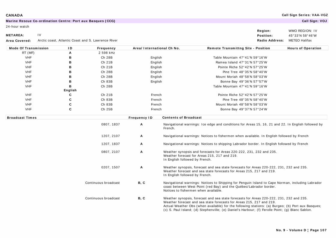
CANADA Call Sign Series: VAA-VGZ
METAREA: IV
Area Covered: Arctic coast, Atlantic Coast and S. Lawrence River
Region: WMO REGION: IVPosition: 45°33'N 58°46'WRadio Address: METEO Halifax
Marine Rescue Co-ordination Centre: Port aux Basques (CCG) Call Sign: VOJ
24-hour watch
Mode Of Transmission ID Frequency Area/International Ch No. Remote Transmittng Site - Position Hours of OperationRT (MF) A 2 598 kHz
VHF B Ch 28B English Table Mountain 47°41'N 59°16'WVHF B Ch 21B English Ramea Island 47°31'N 57°25'WVHF B Ch 21B English Pointe Riche 52°42'N 57°25'WVHF B Ch 28B English Pine Tree 48°35'N 58°40'WVHF B Ch 28B English Mount Moriah 48°58'N 58°03'WVHF B Ch 83B English Bonne Bay 49°36'N 57°57'WVHF B
EnglishCh 28B Table Mountain 47°41'N 59°16'W
VHF C Ch 21B French Pointe Riche 52°42'N 57°25'WVHF C Ch 83B French Pine Tree 48°35'N 58°40'WVHF C Ch 83B French Mount Moriah 48°58'N 58°03'WVHF C Ch 25B French Bonne Bay 49°37'N 57°24'W
Broadcast Times Frequency ID Contents of Broadcast
0807, 1837 A Navigational warnings: Ice edge and conditions for Areas 15, 16, 21 and 22. In English followed by French.
1207, 2107 A Navigational warnings: Notices to fishermen when available. In English followed by French
1207, 1837 A Navigational warnings: Notices to shipping Labrador border. In English followed by French
0807, 2107 A Weather synopsis and forecasts for Areas 220-222, 231, 232 and 235.Weather forecast for Areas 215, 217 and 219.In English followed by French.
0207, 1507 A Weather synopsis, forecast and sea state forecasts for Areas 220-222, 231, 232 and 235.Weather forecast and sea state forecasts for Areas 215, 217 and 219.In English followed by French.
Continuous broadcast B, C Navigational warnings: Notices to Shipping for Penguin Island to Cape Norman, including Labrador coast between West Point (red Bay) and the Québec/Labrador border.Notices to fishermen when available.
Continuous broadcast B, C Weather synopsis, forecast and sea state forecasts for Areas 220-222, 231, 232 and 235.Weather forecast and sea state forecasts for Areas 215, 217 and 219.Actual Weather Obs (when available) for the following stations: (a) Burgeo; (b) Port aux Basques; (c) S. Paul Island; (d) Stephenville; (e) Daniel's Harbour; (f) Ferolle Point; (g) Blanc Sablon.
No. 9 - Volume D ¦ Page 107

CANADA Call Sign Series: VAA-VGZ
No. 9 - Volume D ¦ Page 108
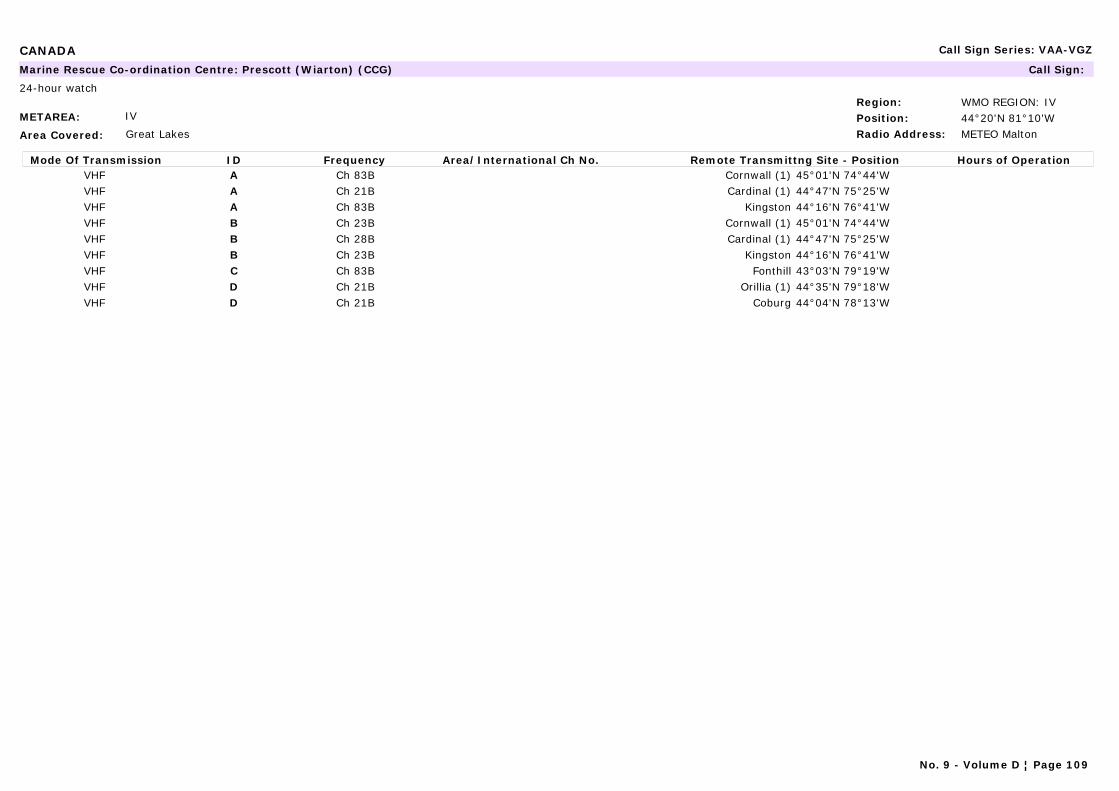
CANADA Call Sign Series: VAA-VGZ
METAREA: IV
Area Covered: Great Lakes
Region: WMO REGION: IVPosition: 44°20'N 81°10'WRadio Address: METEO Malton
Marine Rescue Co-ordination Centre: Prescott (Wiarton) (CCG) Call Sign:
24-hour watch
Mode Of Transmission ID Frequency Area/International Ch No. Remote Transmittng Site - Position Hours of OperationVHF A Ch 83B Cornwall (1) 45°01'N 74°44'WVHF A Ch 21B Cardinal (1) 44°47'N 75°25'WVHF A Ch 83B Kingston 44°16'N 76°41'WVHF B Ch 23B Cornwall (1) 45°01'N 74°44'WVHF B Ch 28B Cardinal (1) 44°47'N 75°25'WVHF B Ch 23B Kingston 44°16'N 76°41'WVHF C Ch 83B Fonthill 43°03'N 79°19'WVHF D Ch 21B Orillia (1) 44°35'N 79°18'WVHF D Ch 21B Coburg 44°04'N 78°13'W
No. 9 - Volume D ¦ Page 109
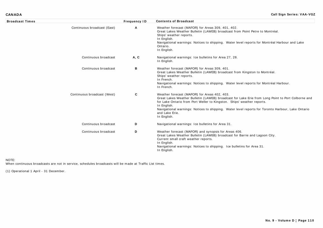
CANADA Call Sign Series: VAA-VGZ
Broadcast Times Frequency ID Contents of Broadcast
Continuous broadcast (East) A Weather forecast (MAFOR) for Areas 309, 401, 402.Great Lakes Weather Bulletin (LAWEB) broadcast from Point Petre to Montréal.Ships' weather reports.In English.Navigational warnings: Notices to shipping. Water level reports for Montréal Harbour and Lake Ontario.In English.
Continuous broadcast A, C Navigational warnings: Ice bulletins for Area 27, 28.In English.
Continuous broadcast B Weather forecast (MAFOR) for Areas 309, 401.Great Lakes Weather Bulletin (LAWEB) broadcast from Kingston to Montréal.Ships' weather reports.In French.Navigational warnings: Notices to shipping. Water level reports for Montréal Harbour.In French.
Continuous broadcast (West) C Weather forecast (MAFOR) for Areas 402, 403.Great Lakes Weather Bulletin (LAWEB) broadcast for Lake Erie from Long Point to Port Colborne and for Lake Ontario from Port Weller to Kingston. Ships' weather reports.In English.Navigational warnings: Notices to shipping. Water level reports for Toronto Harbour, Lake Ontario and Lake Erie.In English.
Continuous broadcast D Navigational warnings: Ice bulletins for Area 31.
Continuous broadcast D Weather forecast (MAFOR) and synopsis for Areas 406.Great Lakes Weather Bulletin (LAWEB) broadcast for Barrie and Lagoon City.Current small craft weather reports.In English.Navigational warnings: Notices to shipping. Ice bulletins for Area 31.In English.
NOTE: When continuous broadcasts are not in service, schedules broadcasts will be made at Traffic List times.
(1) Operational 1 April - 31 December.
No. 9 - Volume D ¦ Page 110
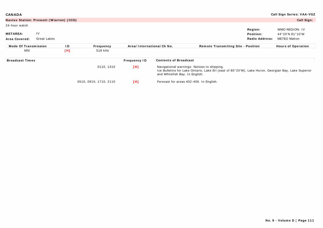
CANADA Call Sign Series: VAA-VGZ
METAREA: IV
Area Covered: Great Lakes
Region: WMO REGION: IVPosition: 44°20'N 81°10'WRadio Address: METEO Malton
Navtex Station: Prescott (Wiarton) (CCG) Call Sign:
24-hour watch
Mode Of Transmission ID Frequency Area/International Ch No. Remote Transmittng Site - Position Hours of OperationMSI [H] 518 kHz
Broadcast Times Frequency ID Contents of Broadcast
0110, 1310 [H] Navigational warnings: Notices to shipping.Ice Bulletins for Lake Ontario, Lake Eri (east of 80°20'W), Lake Huron, Georgian Bay, Lake Superior and Whitefish Bay. In English.
0510, 0910, 1710, 2110 [H] Forecast for areas 402-406. In English.
No. 9 - Volume D ¦ Page 111
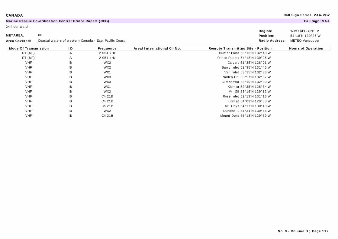
CANADA Call Sign Series: VAA-VGZ
METAREA: XII
Area Covered: Coastal waters of western Canada - East Pacific Coast
Region: WMO REGION: IVPosition: 54°18'N 130°25'WRadio Address: METEO Vancouver
Marine Rescue Co-ordination Centre: Prince Rupert (CCG) Call Sign: VAJ
24-hour watch
Mode Of Transmission ID Frequency Area/International Ch No. Remote Transmittng Site - Position Hours of OperationRT (MF) A 2 054 kHz Hunter Point 53°16'N 132°43'WRT (MF) A 2 054 kHz Prince Rupert 54°18'N 130°25'W
VHF B WX2 Calvert 51°35'N 128°01'WVHF B WX2 Barry Inlet 52°35'N 131°45'WVHF B WX1 Van Inlet 53°15'N 132°33'WVHF B WX3 Naden Hr. 53°57'N 132°57'WVHF B WX3 Cumshewa 53°10'N 132°00'WVHF B WX1 Klemtu 52°35'N 128°34'WVHF B WX2 Mt. Gil 53°16'N 129°12'WVHF B Ch 21B Rose Inlet 52°13'N 131°13'WVHF B Ch 21B Kitimat 54°03'N 120°38'WVHF B Ch 21B Mt. Hays 54°17'N 130°19'WVHF B WX2 Dundas I. 54°31'N 130°55'WVHF B Ch 21B Mount Dent 55°13'N 129°59'W
No. 9 - Volume D ¦ Page 112

CANADA Call Sign Series: VAA-VGZ
Broadcast Times Frequency ID Contents of Broadcast
0105, 0705, 1305, 1905(urgent warnings only)
A Navigational warnings: Notices to shipping.
0105, 0705, 1305, 1905 A Synopsis and forecast for Areas 2-5, 13-17. Reports from stations (see 2 & 3 below).1. Local and Lt Ho Weather Reports from:(a) Green Island; (b) Triple Island; (c) Bonilla Island; (d) Langara Island; (e) Boat Bluff; (f) McInnes Island; (g) Ivory Island; (h) Addenbroke Island; (I) Egg Island; (j) Pine Island; (k) Cape Scott; (l) Dryad Point; (m) Scarlett Point.
2. Automated Station Weather Reports from: (a) Grey islet; (b) Luch Island; (c) Holland Rock; (d) Bonilla Island; (e) Rose Spit; (f) Kindakun Rock; (g) Prince Rupert; (h) Langara Island; (i) Cumshewa Island; (j) Cape S. James; (k) Cathedral Point; (l) Sartine Island; (m) Herbert Island.
3. Ocean buoy Reports from:(a) North Nomad; (b) Middle Nomad; (c) West dixon Entrance; (d) Central dixon Entrance; (e) North Hecate Strait; (f) South Hecate Strait; (g) West Moresby; (h) Nanakwa Shoal; (i) West Sea Otter; (j) South Moresby; (k) East Dellwood.
Continuous broadcast (interrupted during live broadcasts) B Navigational warnings: Notices to shipping and Notices to Fishermen.
Continuous broadcast (interrupted during live broadcasts) B Synopsis and forecast for Areas 2-5, 13-17. Reports from stations (see 1, 2 & 3 below).1. Local and Lt Ho Weather Reports from:(a) Green Island; (b) Triple Island; (c) Bonilla Island; (d) Langara Island; (e) Boat Bluff; (f) McInnes Island; (g) Ivory Island; (h) Addenbroke Island; (I) Egg Island; (j) Pine Island; (k) Cape Scott; (l) Dryad Point; (m) Scarlett Point.
2. Automated Station Weather Reports from: (a) Grey islet; (b) Luch Island; (c) Holland Rock; (d) Bonilla Island; (e) Rose Spit; (f) Kindakun Rock; (g) Prince Rupert; (h) Langara Island; (i) Cumshewa Island; (j) Cape S. James; (k) Cathedral Point; (l) Sartine Island; (m) Herbert Island.
3. Ocean buoy Reports from:(a) North Nomad; (b) Middle Nomad; (c) West dixon Entrance; (d) Central dixon Entrance; (e) North Hecate Strait; (f) South Hecate Strait; (g) West Moresby; (h) Nanakwa Shoal; (i) West Sea Otter; (j) South Moresby; (k) East Dellwood.
NOTE: Continuous broadcast information is available by tel. from prince Rupert +1 250 624 9009.
No. 9 - Volume D ¦ Page 113

CANADA Call Sign Series: VAA-VGZ
METAREA: XII
Area Covered: Coastal waters of western Canada - East Pacific Coast
Region: WMO REGION: IVPosition: 54°18'N 130°25'WRadio Address: METEO Vancouver
Navtex Station: Prince Rupert (CCG) Call Sign: VAJ
24-hour watch
Mode Of Transmission ID Frequency Area/International Ch No. Remote Transmittng Site - Position Hours of OperationMSI [D] 518 kHz
Broadcast Times Frequency ID Contents of Broadcast
0430, 1630 [D] Navigational warnings: Notices to shipping. In English.
0030, 0830, 1230, 2030 [D] Synopsis for Areas 1-17. Forecast for Areas 2-5, 9, 13-17. In English.
METAREA: IV
Area Covered: Arctic coast, Atlantic Coast and S. Lawrence River
Region: WMO REGION: IVPosition:Radio Address: METEO Halifax
Marine Rescue Co-ordination Centre: Québec (CCG) Call Sign: VCC
24-hour watch
Mode Of Transmission ID Frequency Area/International Ch No. Remote Transmittng Site - Position Hours of OperationVHF A Ch 21B Rivière-du-Loup 47°45'N 69°36'WVHF A Ch 21B Lauzon 46°49'N 71°10'WVHF B Ch 83B Rivière-du-Loup 47°45'N 69°36'WVHF B Ch 83B Montmagny 46°56'N 70°31'W
Broadcast Times Frequency ID Contents of Broadcast
Continuous broadcast A, B Weather synopsis and forecast for areas 305-308.Navigational warnings: Notices to Shipping from Lac St. Pierre up to Les Escoumins Trois Pistoles. Seaway Radio Message. Ice reports for Areas 24 and 25.
No. 9 - Volume D ¦ Page 114
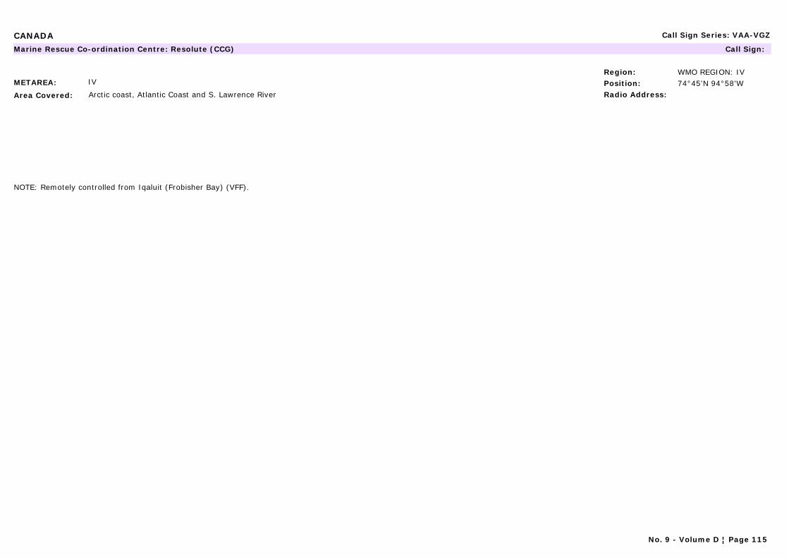
CANADA Call Sign Series: VAA-VGZ
METAREA: IV
Area Covered: Arctic coast, Atlantic Coast and S. Lawrence River
Region: WMO REGION: IVPosition: 74°45'N 94°58'WRadio Address:
Marine Rescue Co-ordination Centre: Resolute (CCG) Call Sign:
NOTE: Remotely controlled from Iqaluit (Frobisher Bay) (VFF).
No. 9 - Volume D ¦ Page 115
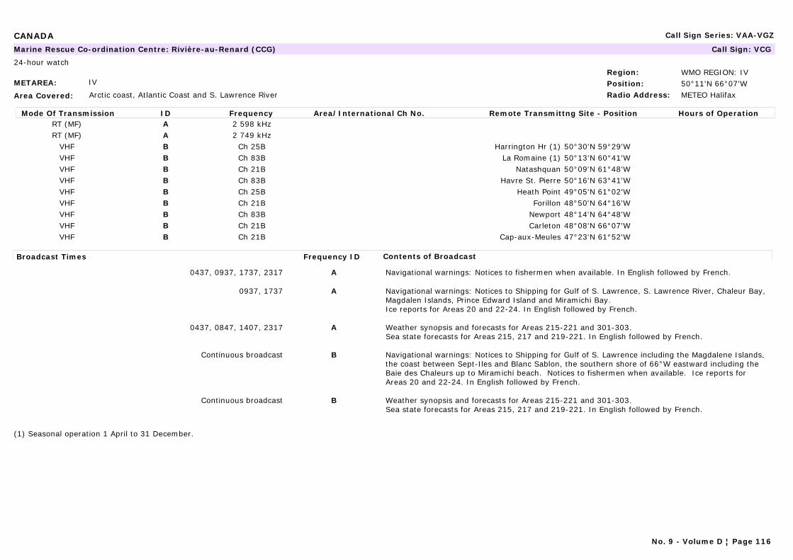
CANADA Call Sign Series: VAA-VGZ
METAREA: IV
Area Covered: Arctic coast, Atlantic Coast and S. Lawrence River
Region: WMO REGION: IVPosition: 50°11'N 66°07'WRadio Address: METEO Halifax
Marine Rescue Co-ordination Centre: Rivière-au-Renard (CCG) Call Sign: VCG
24-hour watch
Mode Of Transmission ID Frequency Area/International Ch No. Remote Transmittng Site - Position Hours of OperationRT (MF) A 2 598 kHzRT (MF) A 2 749 kHz
VHF B Ch 25B Harrington Hr (1) 50°30'N 59°29'WVHF B Ch 83B La Romaine (1) 50°13'N 60°41'WVHF B Ch 21B Natashquan 50°09'N 61°48'WVHF B Ch 83B Havre St. Pierre 50°16'N 63°41'WVHF B Ch 25B Heath Point 49°05'N 61°02'WVHF B Ch 21B Forillon 48°50'N 64°16'WVHF B Ch 83B Newport 48°14'N 64°48'WVHF B Ch 21B Carleton 48°08'N 66°07'WVHF B Ch 21B Cap-aux-Meules 47°23'N 61°52'W
Broadcast Times Frequency ID Contents of Broadcast
0437, 0937, 1737, 2317 A Navigational warnings: Notices to fishermen when available. In English followed by French.
0937, 1737 A Navigational warnings: Notices to Shipping for Gulf of S. Lawrence, S. Lawrence River, Chaleur Bay, Magdalen Islands, Prince Edward Island and Miramichi Bay.Ice reports for Areas 20 and 22-24. In English followed by French.
0437, 0847, 1407, 2317 A Weather synopsis and forecasts for Areas 215-221 and 301-303.Sea state forecasts for Areas 215, 217 and 219-221. In English followed by French.
Continuous broadcast B Navigational warnings: Notices to Shipping for Gulf of S. Lawrence including the Magdalene Islands, the coast between Sept-Iles and Blanc Sablon, the southern shore of 66°W eastward including the Baie des Chaleurs up to Miramichi beach. Notices to fishermen when available. Ice reports for Areas 20 and 22-24. In English followed by French.
Continuous broadcast B Weather synopsis and forecasts for Areas 215-221 and 301-303.Sea state forecasts for Areas 215, 217 and 219-221. In English followed by French.
(1) Seasonal operation 1 April to 31 December.
No. 9 - Volume D ¦ Page 116
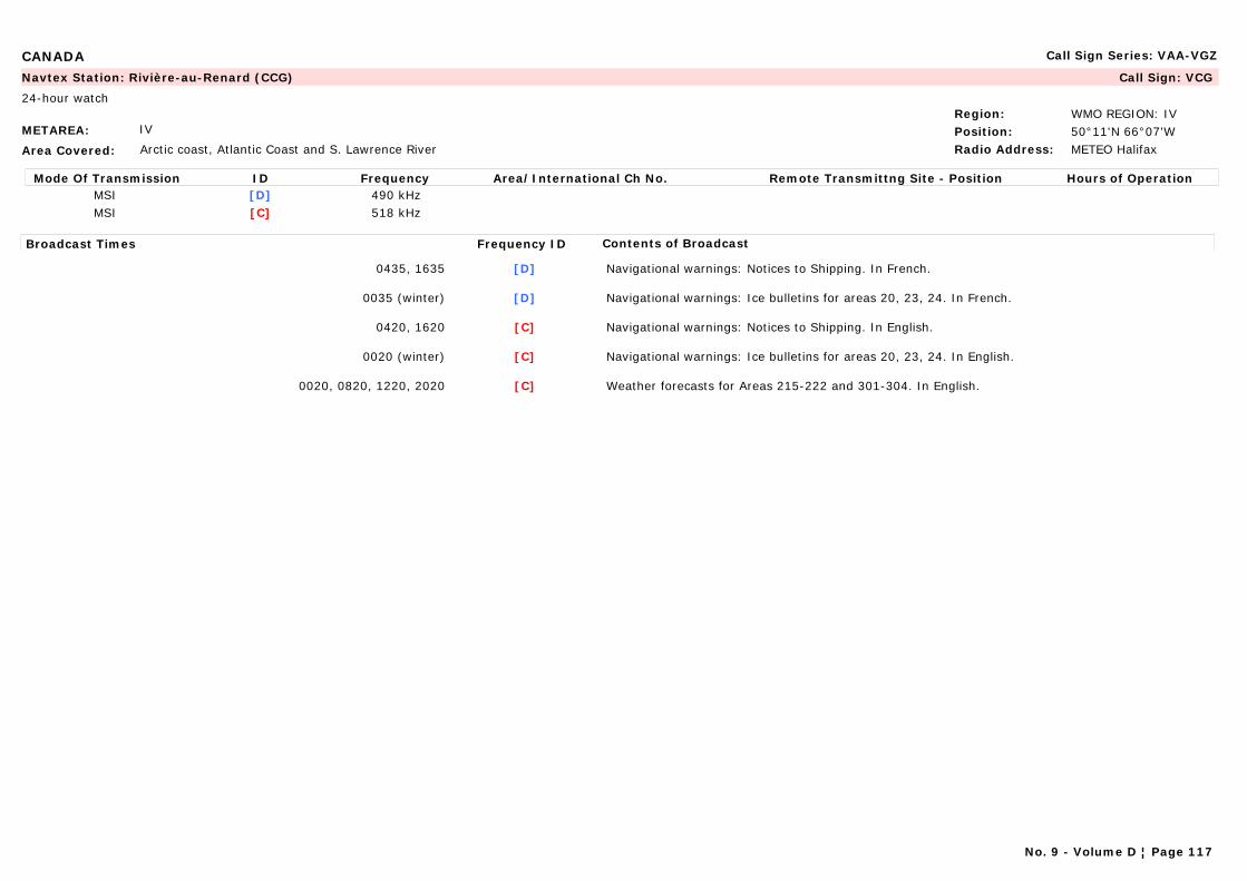
CANADA Call Sign Series: VAA-VGZ
METAREA: IV
Area Covered: Arctic coast, Atlantic Coast and S. Lawrence River
Region: WMO REGION: IVPosition: 50°11'N 66°07'WRadio Address: METEO Halifax
Navtex Station: Rivière-au-Renard (CCG) Call Sign: VCG
24-hour watch
Mode Of Transmission ID Frequency Area/International Ch No. Remote Transmittng Site - Position Hours of OperationMSI [D] 490 kHzMSI [C] 518 kHz
Broadcast Times Frequency ID Contents of Broadcast
0435, 1635 [D] Navigational warnings: Notices to Shipping. In French.
0035 (winter) [D] Navigational warnings: Ice bulletins for areas 20, 23, 24. In French.
0420, 1620 [C] Navigational warnings: Notices to Shipping. In English.
0020 (winter) [C] Navigational warnings: Ice bulletins for areas 20, 23, 24. In English.
0020, 0820, 1220, 2020 [C] Weather forecasts for Areas 215-222 and 301-304. In English.
No. 9 - Volume D ¦ Page 117
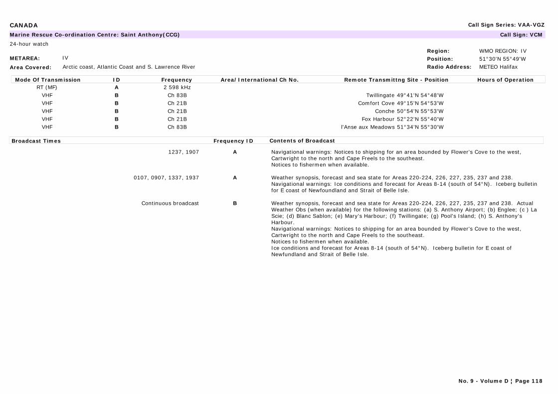
CANADA Call Sign Series: VAA-VGZ
METAREA: IV
Area Covered: Arctic coast, Atlantic Coast and S. Lawrence River
Region: WMO REGION: IVPosition: 51°30'N 55°49'WRadio Address: METEO Halifax
Marine Rescue Co-ordination Centre: Saint Anthony(CCG) Call Sign: VCM
24-hour watch
Mode Of Transmission ID Frequency Area/International Ch No. Remote Transmittng Site - Position Hours of OperationRT (MF) A 2 598 kHz
VHF B Ch 83B Twillingate 49°41'N 54°48'WVHF B Ch 21B Comfort Cove 49°15'N 54°53'WVHF B Ch 21B Conche 50°54'N 55°53'WVHF B Ch 21B Fox Harbour 52°22'N 55°40'WVHF B Ch 83B l'Anse aux Meadows 51°34'N 55°30'W
Broadcast Times Frequency ID Contents of Broadcast
1237, 1907 A Navigational warnings: Notices to shipping for an area bounded by Flower's Cove to the west, Cartwright to the north and Cape Freels to the southeast.Notices to fishermen when available.
0107, 0907, 1337, 1937 A Weather synopsis, forecast and sea state for Areas 220-224, 226, 227, 235, 237 and 238.Navigational warnings: Ice conditions and forecast for Areas 8-14 (south of 54°N). Iceberg bulletin for E coast of Newfoundland and Strait of Belle Isle.
Continuous broadcast B Weather synopsis, forecast and sea state for Areas 220-224, 226, 227, 235, 237 and 238. Actual Weather Obs (when available) for the following stations: (a) S. Anthony Airport; (b) Englee; (c ) La Scie; (d) Blanc Sablon; (e) Mary's Harbour; (f) Twillingate; (g) Pool's Island; (h) S. Anthony's Harbour.Navigational warnings: Notices to shipping for an area bounded by Flower's Cove to the west, Cartwright to the north and Cape Freels to the southeast.Notices to fishermen when available.Ice conditions and forecast for Areas 8-14 (south of 54°N). Iceberg bulletin for E coast of Newfundland and Strait of Belle Isle.
No. 9 - Volume D ¦ Page 118

CANADA Call Sign Series: VAA-VGZ
METAREA: IV
Area Covered: Arctic coast, Atlantic Coast and S. Lawrence River
Region: WMO REGION: IVPosition: 45°14'N 65°59'WRadio Address:
Marine Rescue Co-ordination Centre: Saint John's, New Brunswick (CCG) Call Sign:
24-hour watch
Mode Of Transmission ID Frequency Area/International Ch No. Remote Transmittng Site - Position Hours of OperationRT (MF) A 2 749 kHz Yarmouth 43°45'N 66°07'W
VHF B Ch 83B Yarmouth 43°45'N 66°07'WVHF B Ch 21B Saint John 45°14'N 65°59'WVHF B Ch 21B Lockeport 43°40'N 65°08'WVHF B Ch 83B Cape Blomidon 45°14'N 64°24'W
Broadcast Times Frequency ID Contents of Broadcast
1040, 2040 A Navigational warnings: Notices to fishermen when available.In English followed by French.
0140, 1640 A Navigational warnings: Notices to shipping for the Bay of Fundy and the south and west coasts of Nova Scotia. In English followed by French
0140, 1040, 1640, 2040 A Weather synopsis, forecast and sea state forecasts for Areas 201-208. Weather forecasts for Eastport to Stonington, Maine and Gulf of Maine areas. In English followed by French
2040Continuous broadcast (interrupted during live broadcasts)
B Navigational warnings: Notices to fishermen when available. In English followed by French
0140, 1240, 1640, B Navigational warnings: Notices to shipping for the Bay of Fundy and the south and west coasts of Nova Scotia. In English followed by French
0140, 1640, 2040Continuous broadcast (interrupted during live broadcasts)
B Weather synopsis, forecast and sea state forecasts for Areas 201-208. Weather forecasts for Eastport to Stonington, Maine and Gulf of Maine areas. In English followed by French
No. 9 - Volume D ¦ Page 119

CANADA Call Sign Series: VAA-VGZ
METAREA: IV
Area Covered: Arctic coast, Atlantic Coast and S. Lawrence River
Region: WMO REGION: IVPosition: 47°30'N 52°40'WRadio Address: METEO Halifax
Marine Rescue Co-ordination Centre: Saint John's, Newfoundland (CCG) Call Sign: VON
24-hour watch
Mode Of Transmission ID Frequency Area/International Ch No. Remote Transmittng Site - Position Hours of OperationRT (MF) A 2 598 kHz
VHF B Ch 28B Lumsden 49°17'N 53°35'WVHF B Ch 83B Victoria 47°47'N 53°17'WVHF B Ch 21B Cape Bonavista 48°42'N 53°05'WVHF B Ch 21B S. John's 47°37'N 52°40'W
Broadcast Times Frequency ID Contents of Broadcast
1307, 2007 A Navigational warnings: For coastal waters Cape Pine to Twillingate and N Atlantic offshore waters to Cape Bauld. Notices to fishermen (when available) are also broadcast at 0837, 2007 on 2598 kHz.
0837, 2207 A Weather synopsis and forecast for Areas 232-238.
0007, 1637 A Weather synopsis, forecast and sea state forecasts for Areas 232-238.
0007, 0837, 1637, 2207 B Navigational warnings: Ice edge and conditions for Areas 11-14.
Continuous broadcast B Weather synopsis, forecast and sea state forecasts for Areas 232-238. Actual Weather Obs (when available) for the following stations: (a) Bonavista; (b) Grates Cove; (c ) S. John's; (d) Cape Race; (e) S. Shott's; (f) Argentia; (g) Pool's Island.Navigational warnings: For coastal waters Cape Pine to Twillingate. Notices to fishermen (when available).Ice edge and conditions for Areas 11-14.
No. 9 - Volume D ¦ Page 120
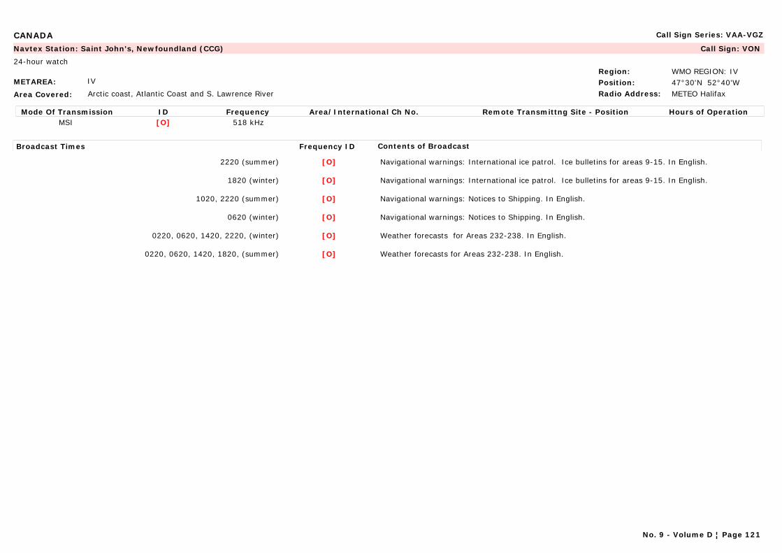
CANADA Call Sign Series: VAA-VGZ
METAREA: IV
Area Covered: Arctic coast, Atlantic Coast and S. Lawrence River
Region: WMO REGION: IVPosition: 47°30'N 52°40'WRadio Address: METEO Halifax
Navtex Station: Saint John's, Newfoundland (CCG) Call Sign: VON
24-hour watch
Mode Of Transmission ID Frequency Area/International Ch No. Remote Transmittng Site - Position Hours of OperationMSI [O] 518 kHz
Broadcast Times Frequency ID Contents of Broadcast
2220 (summer) [O] Navigational warnings: International ice patrol. Ice bulletins for areas 9-15. In English.
1820 (winter) [O] Navigational warnings: International ice patrol. Ice bulletins for areas 9-15. In English.
1020, 2220 (summer) [O] Navigational warnings: Notices to Shipping. In English.
0620 (winter) [O] Navigational warnings: Notices to Shipping. In English.
0220, 0620, 1420, 2220, (winter) [O] Weather forecasts for Areas 232-238. In English.
0220, 0620, 1420, 1820, (summer) [O] Weather forecasts for Areas 232-238. In English.
No. 9 - Volume D ¦ Page 121

CANADA Call Sign Series: VAA-VGZ
METAREA: IV
Area Covered: Great Lakes
Region: WMO REGION: IVPosition: 43°02'N 82°11'WRadio Address: METEO Malton
Marine Rescue Co-ordination Centre: Sarnia (CCG) Call Sign: VBE
24-hour watch
Mode Of Transmission ID Frequency Area/International Ch No. Remote Transmittng Site - Position Hours of OperationVHF A Ch 21B Sarnia 43°02'N 82°11'WVHF A Ch 83B Kincardine 44°07'N 81°42'WVHF B Ch 21B Port Burwell 42°35'N 80°36'WVHF B Ch 83B Leamington 42°04'N 82°40'W
Broadcast Times Frequency ID Contents of Broadcast
Continuous broadcast (North) A Weather forecast (MAFOR) for Areas 403-405.Great Lakes Weather Bulletin (LAWEB) broadcast from Great Duck Island to Windsor.Ships' weather reports.Navigational warnings: Notices to shipping for Lake Huron south of 45°10'N, S. Clair River, Lake S. Clair and Detroit River.
Continuous broadcast A, B Navigational warnings: Ice reports for Areas 29-31.
Continuous broadcast (South) B Weather forecast (MAFOR) for Areas 403-405.Great Lakes Weather Bulletin (LAWEB) broadcast from Sarnia to Port Colborne.Ships' weather reports.Navigational warnings: Notices to shipping in S. Clair River, Lake S. Clair, Detroit River and lake Erie west of 79°40'W.
No. 9 - Volume D ¦ Page 122
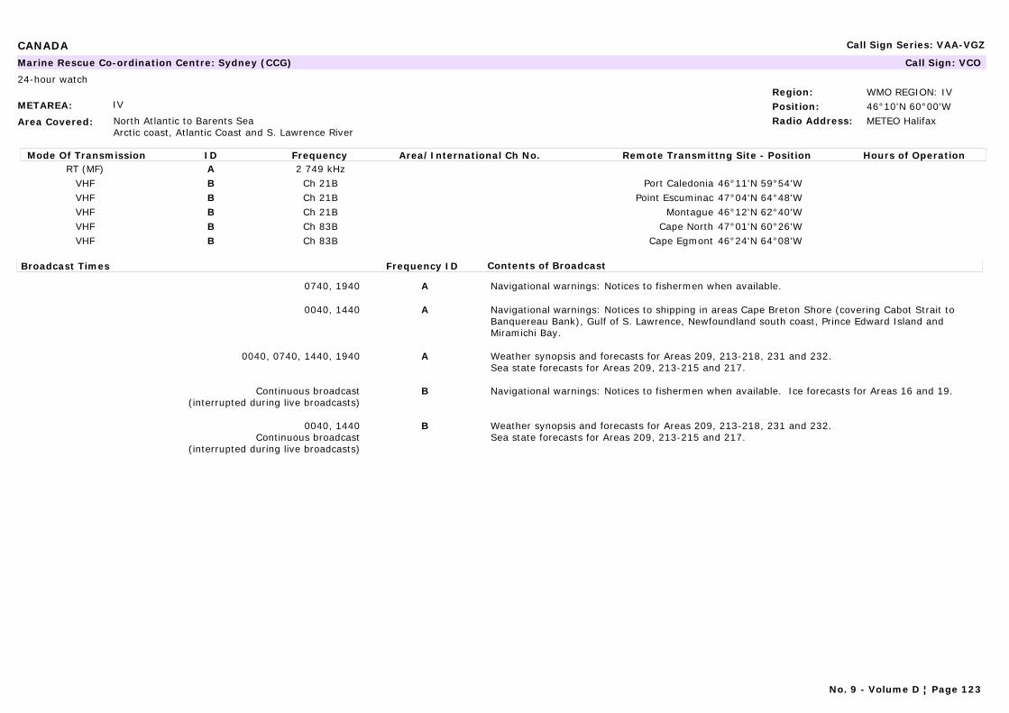
CANADA Call Sign Series: VAA-VGZ
METAREA: IV
Area Covered: North Atlantic to Barents SeaArctic coast, Atlantic Coast and S. Lawrence River
Region: WMO REGION: IVPosition: 46°10'N 60°00'WRadio Address: METEO Halifax
Marine Rescue Co-ordination Centre: Sydney (CCG) Call Sign: VCO
24-hour watch
Mode Of Transmission ID Frequency Area/International Ch No. Remote Transmittng Site - Position Hours of OperationRT (MF) A 2 749 kHz
VHF B Ch 21B Port Caledonia 46°11'N 59°54'WVHF B Ch 21B Point Escuminac 47°04'N 64°48'WVHF B Ch 21B Montague 46°12'N 62°40'WVHF B Ch 83B Cape North 47°01'N 60°26'WVHF B Ch 83B Cape Egmont 46°24'N 64°08'W
Broadcast Times Frequency ID Contents of Broadcast
0740, 1940 A Navigational warnings: Notices to fishermen when available.
0040, 1440 A Navigational warnings: Notices to shipping in areas Cape Breton Shore (covering Cabot Strait to Banquereau Bank), Gulf of S. Lawrence, Newfoundland south coast, Prince Edward Island and Miramichi Bay.
0040, 0740, 1440, 1940 A Weather synopsis and forecasts for Areas 209, 213-218, 231 and 232.Sea state forecasts for Areas 209, 213-215 and 217.
Continuous broadcast (interrupted during live broadcasts)
B Navigational warnings: Notices to fishermen when available. Ice forecasts for Areas 16 and 19.
0040, 1440Continuous broadcast
(interrupted during live broadcasts)
B Weather synopsis and forecasts for Areas 209, 213-218, 231 and 232.Sea state forecasts for Areas 209, 213-215 and 217.
No. 9 - Volume D ¦ Page 123
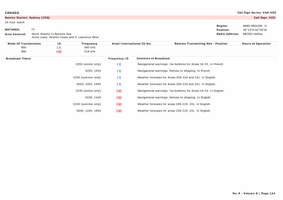
CANADA Call Sign Series: VAA-VGZ
METAREA: IV
Area Covered: North Atlantic to Barents SeaArctic coast, Atlantic Coast and S. Lawrence River
Region: WMO REGION: IVPosition: 46°10'N 60°00'WRadio Address: METEO Halifax
Navtex Station: Sydney (CCG) Call Sign: VCO
24-hour watch
Mode Of Transmission ID Frequency Area/International Ch No. Remote Transmittng Site - Position Hours of OperationMSI [J] 490 kHzMSI [Q] 518 kHz
Broadcast Times Frequency ID Contents of Broadcast
2255 (winter only) [J] Navigational warnings: Ice bulletins for Areas 16-23. In French.
0255, 1455 [J] Navigational warnings: Notices to shipping. In French.
2255 (summer only) [J] Weather forecasts for Areas 209-219 and 231. In English.
0655, 1055, 1855 [J] Weather forecasts for Areas 209-219 and 231. In English.
2240 (winter only) [Q] Navigational warnings: Ice bulletins for Areas 16-23. In English.
0240, 1440 [Q] Navigational warnings: Notices to shipping. In English.
2240 (summer only) [Q] Weather forecasts for areas 209-219, 231. In English.
0640, 1040, 1840 [Q] Weather forecasts for areas 209-219, 231. In English.
No. 9 - Volume D ¦ Page 124
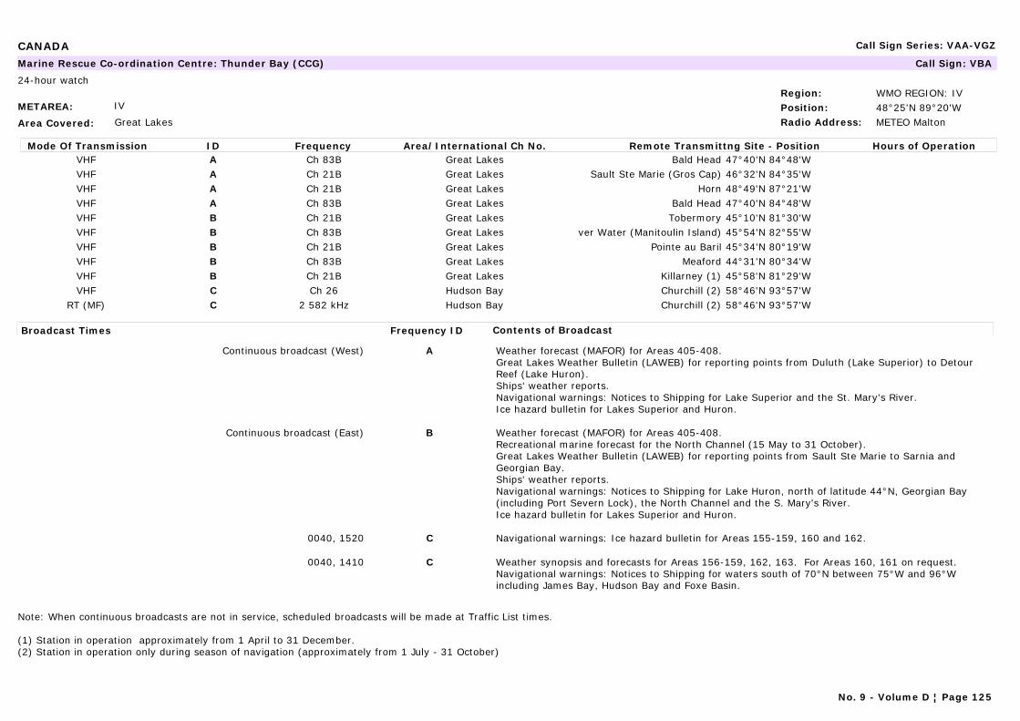
CANADA Call Sign Series: VAA-VGZ
METAREA: IV
Area Covered: Great Lakes
Region: WMO REGION: IVPosition: 48°25'N 89°20'WRadio Address: METEO Malton
Marine Rescue Co-ordination Centre: Thunder Bay (CCG) Call Sign: VBA
24-hour watch
Mode Of Transmission ID Frequency Area/International Ch No. Remote Transmittng Site - Position Hours of OperationVHF A Ch 83B Great Lakes Bald Head 47°40'N 84°48'WVHF A Ch 21B Great Lakes Sault Ste Marie (Gros Cap) 46°32'N 84°35'WVHF A Ch 21B Great Lakes Horn 48°49'N 87°21'WVHF A Ch 83B Great Lakes Bald Head 47°40'N 84°48'WVHF B Ch 21B Great Lakes Tobermory 45°10'N 81°30'WVHF B Ch 83B Great Lakes ver Water (Manitoulin Island) 45°54'N 82°55'WVHF B Ch 21B Great Lakes Pointe au Baril 45°34'N 80°19'WVHF B Ch 83B Great Lakes Meaford 44°31'N 80°34'WVHF B Ch 21B Great Lakes Killarney (1) 45°58'N 81°29'WVHF C Ch 26 Hudson Bay Churchill (2) 58°46'N 93°57'W
RT (MF) C 2 582 kHz Hudson Bay Churchill (2) 58°46'N 93°57'W
Broadcast Times Frequency ID Contents of Broadcast
Continuous broadcast (West) A Weather forecast (MAFOR) for Areas 405-408.Great Lakes Weather Bulletin (LAWEB) for reporting points from Duluth (Lake Superior) to Detour Reef (Lake Huron).Ships' weather reports.Navigational warnings: Notices to Shipping for Lake Superior and the St. Mary's River.Ice hazard bulletin for Lakes Superior and Huron.
Continuous broadcast (East) B Weather forecast (MAFOR) for Areas 405-408.Recreational marine forecast for the North Channel (15 May to 31 October).Great Lakes Weather Bulletin (LAWEB) for reporting points from Sault Ste Marie to Sarnia and Georgian Bay.Ships' weather reports.Navigational warnings: Notices to Shipping for Lake Huron, north of latitude 44°N, Georgian Bay (including Port Severn Lock), the North Channel and the S. Mary's River.Ice hazard bulletin for Lakes Superior and Huron.
0040, 1520 C Navigational warnings: Ice hazard bulletin for Areas 155-159, 160 and 162.
0040, 1410 C Weather synopsis and forecasts for Areas 156-159, 162, 163. For Areas 160, 161 on request.Navigational warnings: Notices to Shipping for waters south of 70°N between 75°W and 96°W including James Bay, Hudson Bay and Foxe Basin.
Note: When continuous broadcasts are not in service, scheduled broadcasts will be made at Traffic List times.
(1) Station in operation approximately from 1 April to 31 December.(2) Station in operation only during season of navigation (approximately from 1 July - 31 October)
No. 9 - Volume D ¦ Page 125

CANADA Call Sign Series: VAA-VGZ
METAREA: IV
Area Covered: Great Lakes
Region: WMO REGION: IVPosition: 48°25'N 89°20'WRadio Address: METEO Malton
Navtex Station: Thunder Bay (CCG) Call Sign: VBA
24-hour watch
Mode Of Transmission ID Frequency Area/International Ch No. Remote Transmittng Site - Position Hours of OperationMSI [P] 518 kHz
Broadcast Times Frequency ID Contents of Broadcast
0630, 1830 [P] Navigational warnings: Notices to shipping.Ice Bulletins for Lake Huron, Lake Superior and Whitefish Bay. In English.
0230, 1030, 1430, 2230 [P] Forecast for areas 406-408. In English.
No. 9 - Volume D ¦ Page 126
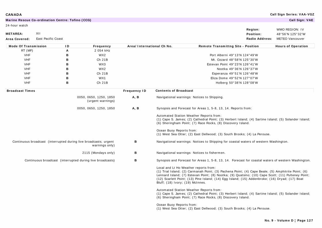
CANADA Call Sign Series: VAA-VGZ
METAREA: XII
Area Covered: East Pacific Coast
Region: WMO REGION: IVPosition: 48°56'N 125°32'WRadio Address: METEO Vancouver
Marine Rescue Co-ordination Centre: Tofino (CCG) Call Sign: VAE
24-hour watch
Mode Of Transmission ID Frequency Area/International Ch No. Remote Transmittng Site - Position Hours of OperationRT (MF) A 2 054 kHz
VHF B WX2 Port Alberni 49°13'N 124°49'WVHF B Ch 21B Mt. Ozzard 48°58'N 125°30'WVHF B WX3 Estevan Point 49°23'N 126°41'WVHF B WX2 Nootka 49°36'N 126°37'WVHF B Ch 21B Esperanza 49°51'N 126°48'WVHF B WX1 Eliza Dome 49°52'N 127°07'WVHF B Ch 21B Holberg 50°38'N 128°08'W
Broadcast Times Frequency ID Contents of Broadcast
0050, 0650, 1250, 1850(urgent warnings)
A, B Navigational warnings: Notices to Shipping.
0050, 0650, 1250, 1850 A, B Synopsis and Forecast for Areas 1, 5-8, 13, 14. Reports from:
Automated Station Weather Reports from: (1) Cape S. James; (2) Cathedral Point; (3) Herbert Island; (4) Sartine Island; (5) Solander Island; (6) Sheringham Point; (7) Race Rocks, (8) Discovery Island.
Ocean Buoy Reports from:(1) West Sea Otter; (2) East Dellwood; (3) South Brooks; (4) La Perouse.
Continuous broadcast (interrupted during live broadcasts; urgent warnings only)
B Navigational warnings: Notices to Shipping for coastal waters of western Washington.
2115 (Mondays only) B Navigational warnings: Notices to fishermen.
Continuous broadcast (interrupted during live broadcasts) B Synopsis and Forecast for Areas 1, 5-8, 13, 14. Forecast for coastal waters of western Washington.
Local and Lt Ho Weather reports from:(1) Trial Island; (2) Carmanah Point; (3) Pachena Point; (4) Cape Beale; (5) Amphitrite Point; (6) Lennard Island; (7) Estevan Point; (8) Nootka; (9) Quatsino; (10) Cape Scott; (11) Pulteney Point; (12) Scarlett Point; (13) Pine Island; (14) Egg Island; (15) Addenbroke; (16) Dryad; (17) Boat Bluff; (18) Ivory; (19) McInnes.
Automated Station Weather Reports from: (1) Cape S. James; (2) Cathedral Point; (3) Herbert Island; (4) Sartine Island; (5) Solander Island; (6) Sheringham Point; (7) Race Rocks, (8) Discovery Island.
Ocean Buoy Reports from:(1) West Sea Otter; (2) East Dellwood; (3) South Brooks; (4) La Perouse.
No. 9 - Volume D ¦ Page 127

CANADA Call Sign Series: VAA-VGZ
(1) Continous broadcast information is also available by telephone: +1 250 7263415.
METAREA: XII
Area Covered: East Pacific Coast
Region: WMO REGION: IVPosition: 48°56'N 125°32'WRadio Address: METEO Vancouver
Navtex Station: Tofino (CCG) Call Sign: VAE
24-hour watch
Mode Of Transmission ID Frequency Area/International Ch No. Remote Transmittng Site - Position Hours of OperationMSI [H] 518 kHz
Broadcast Times Frequency ID Contents of Broadcast
0910, 2110 [H] Navigational warnings: Notices to shipping. In English.
0110, 0510, 0910, 1310, 1710, 2110 [H] Automated Weather Reports from: (a) Cape S. James; (b) Cathedral Point; (c) Herbert Island; (d) Sartine Island; (e) Solander Island; (f) Sheringham Point; (g) Race Rocks; (h) Discovery Island.
Ocean buoy Reports from: (a) West Sea Otter; (b) East Dellwood; (c) South Brooks; (d) La Perouse Bank. In English.
0510, 1710 [H] Northeast Pacific High Seas Forecast. In English.
0110, 1310 [H] Weather synopsis and forecast for areas 1, 5-13. In English.
METAREA: XII
Area Covered: Pacific coast
Region: WMO REGION: IVPosition: 49°17'N 123°07'WRadio Address: METEO Vancouver
Marine Rescue Co-ordination Centre: Vancouver (CCG) Call Sign: VAS
24-hour watch
Mode Of Transmission ID Frequency Area/International Ch No. Remote Transmittng Site - Position Hours of OperationVHF A Ch 26 Watts Point 49°39'N 123°13'WVHF A Ch 26 Vancouver 49°17'N 123°07'W
Broadcast Times Frequency ID Contents of Broadcast
0530, 1530, 2130 A Navigational warnings: Notices to Shipping.
No. 9 - Volume D ¦ Page 128
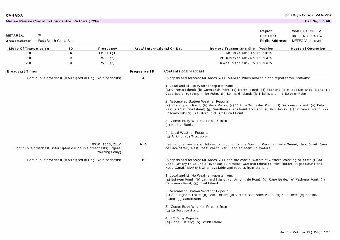
CANADA Call Sign Series: VAA-VGZ
METAREA: XII
Area Covered: East/South China Sea
Region: WMO REGION: IVPosition: 49°11'N 123°07'WRadio Address: METEO Vancouver
Marine Rescue Co-ordination Centre: Victoria (CCG) Call Sign: VAK
Mode Of Transmission ID Frequency Area/International Ch No. Remote Transmittng Site - Position Hours of OperationVHF A Ch 21B (1) Mt Parke 48°50'N 123°18'WVHF B WX3 (2) Mt Helmcken 48°24'N 123°34'WVHF B WX3 (2) Bowen Island 49°21'N 123°23'W
Broadcast Times Frequency ID Contents of Broadcast
Continuous broadcast (interrupted during live broadcasts) A Synopsis and forecast for Areas 6-11, MAREPS when available and reports from stations:
1. Local and Lt. Ho Weather reports from:(a) Chrome Island; (b) Carmanah Point; (c) Merry Island; (d) Pachena Point; (e) Entrance Island; (f) Cape Beale; (g) Amphitrite Point; (h) Lennard Island; (i) Trial Island; (j) Estevan Point.
2. Automated Station Weather Reports:(a) Sheringham Point; (b) Race Rocks; (c) Victoria/Gonzales Point; (d) Discovery Island; (e) Kelp Reef; (f) Saturna Island; (g) Sandheads; (h) Point Atkinson; (i) Pam Rocks; (j) Entrance Island; (k) Ballenas Island; (l) Sisters Islet; (m) Grief Point.
3. Ocean Buoy Weather Reports from: (a) Halibut Bank.
4. Local Weather Reports:(a) Jericho; (b) Tsawassen.
0510, 1510, 2110Continuous broadcast (interrupted during live broadcasts; urgent
warnings only)
A, B Navigational warnings: Notices to shipping for the Strait of Georgia, Howe Sound, Haro Strait, Juan de Fuca Strait, West Coast Vancouver I. and adjacent US waters.
Continuous broadcast (interrupted during live broadcasts) B Synopsis and forecast for Areas 6-11 and the coastal waters of western Washington State (USA) Cape Flattery to Colunbia River out 60 n miles, Camano Island to Point Robert, Puget Sound and Hood Canal. MAREPS when available and reports from stations:
1. Local and Lt. Ho Weather reports from:(a) Estevan Point, (b) Lennard Island; (c) Amphitrite Point; (d) Cape Beale; (e) Pachena Point; (f) Carmanah Point; (g) Trial Island.
2. Automated Station Weather Reports:(a) Sheringham Point; (b) Race Rocks; (c) Victoria/Gonzales Point; (d) Kelp Reef; (e) Saturna Island; (f) Sandheads.
3. Ocean Buoy Weather Reports from: (a) La Perouse Bank.
4. US Buoy Reports:(a) Cape Flattery; (b) Smith Island.
No. 9 - Volume D ¦ Page 129
CANADA Call Sign Series: VAA-VGZ
(1) Continuous broadcast information is also available by telephone: Vancouver / Lower mainland, +1 604 666 3655.(2) Continuous broadcast information is also available by telephone: Victoria, +1 250 474 7998.
No. 9 - Volume D ¦ Page 130

CANARY ISLANDS (SPAIN) Call Sign Series: EAA-EHZ
METAREA: II
Area Covered: North Atlantic waters from 50°N to 20°N east of 35°W. Mediterranean sea west of 10°E overlapping with the area of responsibility of France.
Region: WMO REGION: IPosition: 28°9'N 15°25'WRadio Address:
Navtex Station: Las Palmas Call Sign:
Mode Of Transmission ID Frequency Area/International Ch No. Remote Transmittng Site - Position Hours of OperationMSI [A] 490 kHz (1)MSI [I] 518 kHz
Broadcast Times Frequency ID Contents of Broadcast
0000, 0400, 0800, 1200, 1600, 2000 [A] Weather bulletins for San Vicente, Cadiz, Madeira, Casablanca, Agadir, Canarias, Tarafaya, Cap Blanc and the coastal waters of Islas Canarias. In Spanish.
0120, 0520, 0920, 1320, 1720, 2120 [I] In English.
0920, 1320, 1720 [I] Weather bulletins for San Vicente, Cadiz, Madeira, Casablanca, Agadir, Canarias, Tarafaya, Cap Blanc and the coastal waters of Islas Canarias. In English.
(1) On Trial.
METAREA: II
Area Covered: North Atlantic waters from 50°N to 20°N east of 35°W. Mediterranean sea west of 10°E overlapping with the area of responsibility of France.
Region: WMO REGION: IPosition:Radio Address: METEO Madrid
Maritime Radio Station: Las Palmas (CCR GROUP V) Call Sign: EAL
24-hour watch
Mode Of Transmission ID Frequency Area/International Ch No. Remote Transmittng Site - Position Hours of OperationRT (MF) A 1 644 kHz Arrecife 22°09'N 13°31'WRT (MF) B 1 689 kHz Las Palmas 28°06'N 15°28'W
Broadcast Times Frequency ID Contents of Broadcast
0803, 1903after weather bulletin
A,B
0803, 1233, 1903 A,B Storm warnings, synopsis and 24 hour forecast for Atlantic areas.
No. 9 - Volume D ¦ Page 131
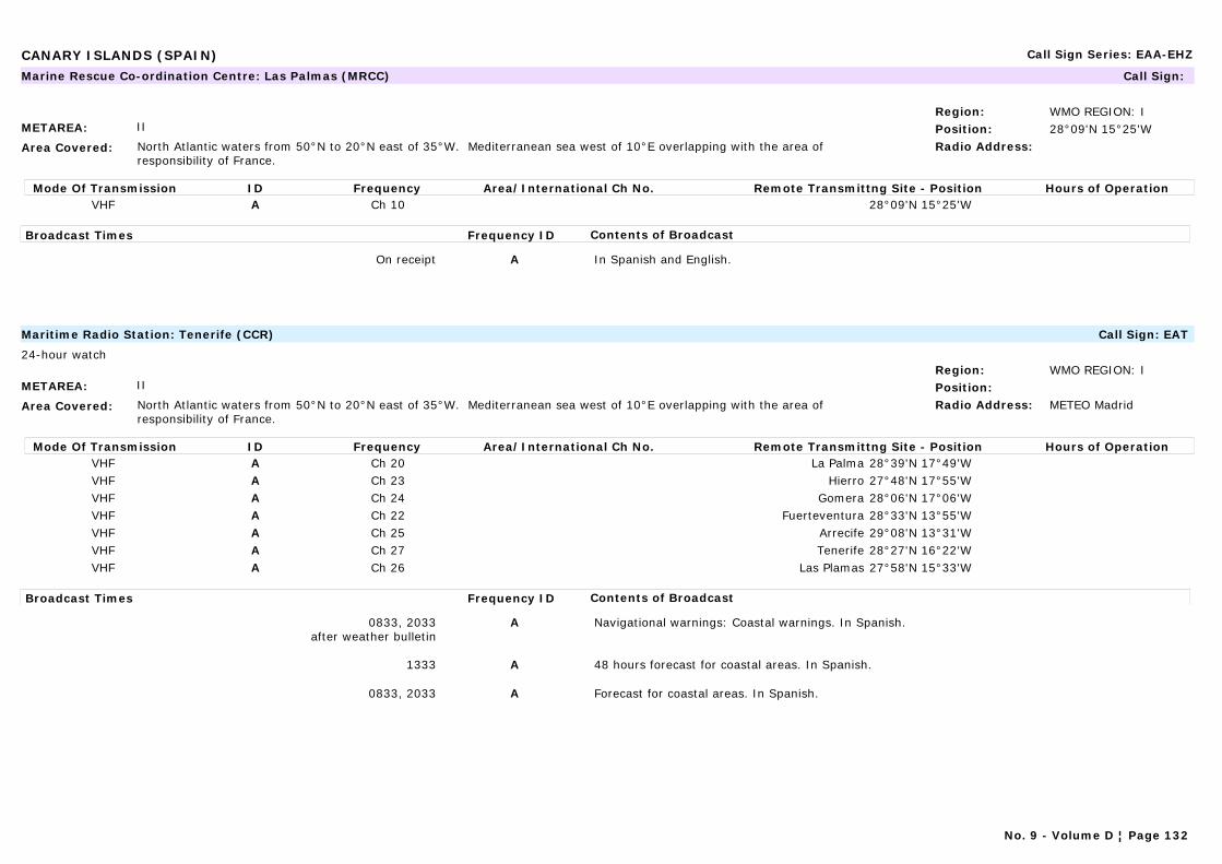
CANARY ISLANDS (SPAIN) Call Sign Series: EAA-EHZ
METAREA: II
Area Covered: North Atlantic waters from 50°N to 20°N east of 35°W. Mediterranean sea west of 10°E overlapping with the area of responsibility of France.
Region: WMO REGION: IPosition: 28°09'N 15°25'WRadio Address:
Marine Rescue Co-ordination Centre: Las Palmas (MRCC) Call Sign:
Mode Of Transmission ID Frequency Area/International Ch No. Remote Transmittng Site - Position Hours of OperationVHF A Ch 10 28°09'N 15°25'W
Broadcast Times Frequency ID Contents of Broadcast
On receipt A In Spanish and English.
METAREA: II
Area Covered: North Atlantic waters from 50°N to 20°N east of 35°W. Mediterranean sea west of 10°E overlapping with the area of responsibility of France.
Region: WMO REGION: IPosition:Radio Address: METEO Madrid
Maritime Radio Station: Tenerife (CCR) Call Sign: EAT
24-hour watch
Mode Of Transmission ID Frequency Area/International Ch No. Remote Transmittng Site - Position Hours of OperationVHF A Ch 20 La Palma 28°39'N 17°49'WVHF A Ch 23 Hierro 27°48'N 17°55'WVHF A Ch 24 Gomera 28°06'N 17°06'WVHF A Ch 22 Fuerteventura 28°33'N 13°55'WVHF A Ch 25 Arrecife 29°08'N 13°31'WVHF A Ch 27 Tenerife 28°27'N 16°22'WVHF A Ch 26 Las Plamas 27°58'N 15°33'W
Broadcast Times Frequency ID Contents of Broadcast
0833, 2033after weather bulletin
A Navigational warnings: Coastal warnings. In Spanish.
1333 A 48 hours forecast for coastal areas. In Spanish.
0833, 2033 A Forecast for coastal areas. In Spanish.
No. 9 - Volume D ¦ Page 132
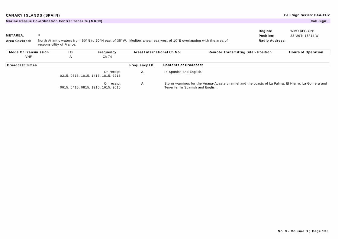
CANARY ISLANDS (SPAIN) Call Sign Series: EAA-EHZ
METAREA: II
Area Covered: North Atlantic waters from 50°N to 20°N east of 35°W. Mediterranean sea west of 10°E overlapping with the area of responsibility of France.
Region: WMO REGION: IPosition: 28°29'N 16°14'WRadio Address:
Marine Rescue Co-ordination Centre: Tenerife (MRCC) Call Sign:
Mode Of Transmission ID Frequency Area/International Ch No. Remote Transmittng Site - Position Hours of OperationVHF A Ch 74
Broadcast Times Frequency ID Contents of Broadcast
On receipt0215, 0615, 1015, 1415, 1815, 2215
A In Spanish and English.
On receipt0015, 0415, 0815, 1215, 1615, 2015
A Storm warnings for the Anaga-Agaete channel and the coasts of La Palma, El Hierro, La Gomera and Tenerife. In Spanish and English.
No. 9 - Volume D ¦ Page 133

CHILE Call Sign Series: KAA-KZZ, CAA-CEZ
METAREA: XV
Area Covered: East Pacific - Ocean areas south of 33°S between 20°W and 70°W.
Region: WMO REGION: IIIPosition: 23°40'S 70°25'WRadio Address: Central
Telecomunicaciones Navales, Antofagasta
Marine Rescue Co-ordination Centre: Antofagasta Zonal Call Sign: CBA
24-hour watch
Mode Of Transmission ID Frequency Area/International Ch No. Remote Transmittng Site - Position Hours of OperationRT (MF) A 2 738 kHzRT (MF) A 2 738 kHz
VHF B Ch 14VHF B Ch 10
Broadcast Times Frequency ID Contents of Broadcast
0045, 1250 A Forecast for Areas 1-3. In Spanish.
0900, 1200, 1500, 1800, 2100 LT (2)(3) A Gale warnings and forecasts for Turkish coastal waters of Southern Aegean and Mediterranean Seas. In Turkish and English.
0900, 1930 A 3 day forecast for Black Sea, Marmara Denizi, Aegean Sea and Mediterranean Sea. In Turkish.
0730, 0900, 0930, 1130, 1330, 1530, 1730, 1930 A Sea observations for Mediterranean Sea and Aegean Sea. In Turkish.
0700, 1900 A Forecast, for Black Sea, Marmara Denizi, Aegean Sea and Mediterranean Sea. In Turkish and English.
On receipt A Weather warnings.
0055, 1305 B Present weather. In Spanish.
No. 9 - Volume D ¦ Page 134
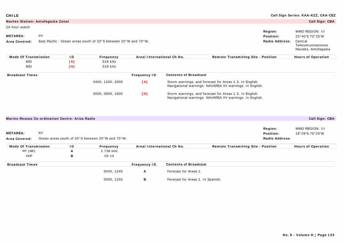
CHILE Call Sign Series: KAA-KZZ, CAA-CEZ
METAREA: XV
Area Covered: East Pacific - Ocean areas south of 33°S between 20°W and 70°W.
Region: WMO REGION: IIIPosition: 23°40'S 70°25'WRadio Address: Central
Telecomunicaciones Navales, Antofagasta
Navtex Station: Antofagasta Zonal Call Sign: CBA
24-hour watch
Mode Of Transmission ID Frequency Area/International Ch No. Remote Transmittng Site - Position Hours of OperationMSI [A] 518 kHzMSI [H] 518 kHz
Broadcast Times Frequency ID Contents of Broadcast
0400, 1200, 2000 [A] Storm warnings, and forecast for Areas 1-3. In English.Navigational warnings: NAVAREA XV warnings. In English.
0000, 0800, 1600 [H] Storm warnings, and forecast for Areas 1-3. In English.Navigational warnings: NAVAREA XV warnings. In English.
METAREA: XV
Area Covered: Ocean areas south of 33°S between 20°W and 70°W.
Region: WMO REGION: IIIPosition: 18°29'S 70°20'WRadio Address:
Marine Rescue Co-ordination Centre: Arica Radio Call Sign: CBA
Mode Of Transmission ID Frequency Area/International Ch No. Remote Transmittng Site - Position Hours of OperationRT (MF) A 2 738 kHz
VHF B Ch 14
Broadcast Times Frequency ID Contents of Broadcast
0045, 1245 A Forecast for Areas 1.
0050, 1255 B Forecast for Areas 1. In Spanish.
No. 9 - Volume D ¦ Page 135

CHILE Call Sign Series: KAA-KZZ, CAA-CEZ
METAREA: XV
Area Covered: Ocean areas south of 33°S between 20°W and 70°W.
Region: WMO REGION: IIIPosition: 52°58'S 74°04'WRadio Address:
Marine Rescue Co-ordination Centre: Bahía Félix Radio Call Sign: CBX
Mode Of Transmission ID Frequency Area/International Ch No. Remote Transmittng Site - Position Hours of OperationRT /MF) A 2 738 kHzRT (MF) A 2 738 kHz
VHF B Ch 14VHF B Ch 14
Radio-Telex C 6 439 kHz
Broadcast Times Frequency ID Contents of Broadcast
0210, 1410 A Present weather for: Bahía Félix. In Spanish.
0150, 1350 B Present weather for: Bahía Félix.
METAREA: XV
Area Covered: Ocean areas south of 33°S between 20°W and 70°W.
Region: WMO REGION: IIIPosition: 35°33'S 72°37'WRadio Address:
Marine Rescue Co-ordination Centre: Cabo Carranza, Faro Call Sign: CBT2
Mode Of Transmission ID Frequency Area/International Ch No. Remote Transmittng Site - Position Hours of OperationRT (MF) A 2 738 kHz
VHF B Ch 14
Broadcast Times Frequency ID Contents of Broadcast
0145, 1345 A Present weather for: Cabo Carranza area. In Spanish.
0150, 1350 B Present weather for: Cabo Carranza area. In Spanish.
No. 9 - Volume D ¦ Page 136

CHILE Call Sign Series: KAA-KZZ, CAA-CEZ
METAREA: XV
Area Covered: Ocean areas south of 33°S between 20°W and 70°W.
Region: WMO REGION: IIIPosition: 46°49'S 75°38'WRadio Address:
Marine Rescue Co-ordination Centre: Cabo Raper, Faro Call Sign: CBM2
Mode Of Transmission ID Frequency Area/International Ch No. Remote Transmittng Site - Position Hours of OperationRT (MF) A 2 738 kHz
VHF B Ch 14
Broadcast Times Frequency ID Contents of Broadcast
0040, 0640, 1240, 1840 A Present weather for: Cabo Cabo Raper area. In Spanish.
0045, 0645, 1245, 1845 B Present weather for: Cabo Cabo Raper area. In Spanish.
METAREA: XV
Area Covered: Ocean areas south of 33°S between 20°W and 70°W.
Region: WMO REGION: IIIPosition: 27°04'S 70°50'WRadio Address:
Marine Rescue Co-ordination Centre: Caldera Call Sign: CBA
Mode Of Transmission ID Frequency Area/International Ch No. Remote Transmittng Site - Position Hours of OperationRT (MF) A 2 738 kHz
VHF B Ch 14
Broadcast Times Frequency ID Contents of Broadcast
0055, 1255 A Forecast for areas 1 & 2. In Spanish.
0105, 1305 B Forecast for areas 1 & 2. In Spanish.
No. 9 - Volume D ¦ Page 137
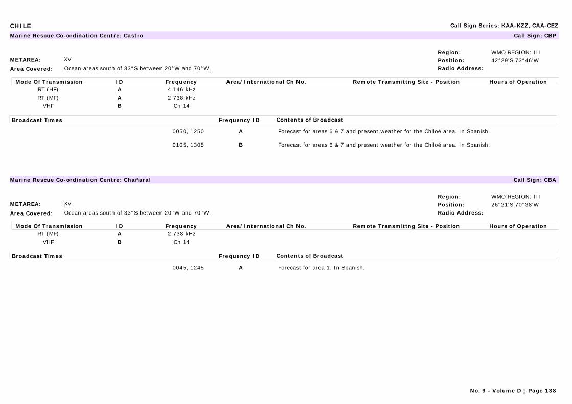
CHILE Call Sign Series: KAA-KZZ, CAA-CEZ
METAREA: XV
Area Covered: Ocean areas south of 33°S between 20°W and 70°W.
Region: WMO REGION: IIIPosition: 42°29'S 73°46'WRadio Address:
Marine Rescue Co-ordination Centre: Castro Call Sign: CBP
Mode Of Transmission ID Frequency Area/International Ch No. Remote Transmittng Site - Position Hours of OperationRT (HF) A 4 146 kHzRT (MF) A 2 738 kHz
VHF B Ch 14
Broadcast Times Frequency ID Contents of Broadcast
0050, 1250 A Forecast for areas 6 & 7 and present weather for the Chiloé area. In Spanish.
0105, 1305 B Forecast for areas 6 & 7 and present weather for the Chiloé area. In Spanish.
METAREA: XV
Area Covered: Ocean areas south of 33°S between 20°W and 70°W.
Region: WMO REGION: IIIPosition: 26°21'S 70°38'WRadio Address:
Marine Rescue Co-ordination Centre: Chañaral Call Sign: CBA
Mode Of Transmission ID Frequency Area/International Ch No. Remote Transmittng Site - Position Hours of OperationRT (MF) A 2 738 kHz
VHF B Ch 14
Broadcast Times Frequency ID Contents of Broadcast
0045, 1245 A Forecast for area 1. In Spanish.
No. 9 - Volume D ¦ Page 138
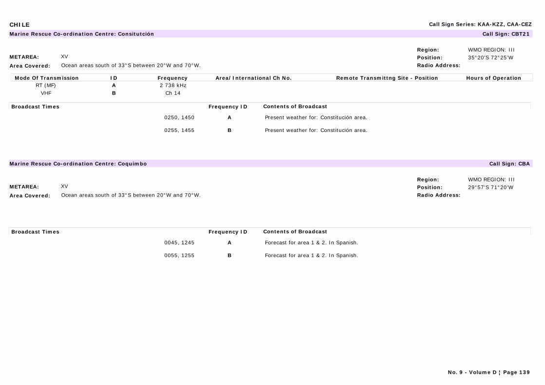
CHILE Call Sign Series: KAA-KZZ, CAA-CEZ
METAREA: XV
Area Covered: Ocean areas south of 33°S between 20°W and 70°W.
Region: WMO REGION: IIIPosition: 35°20'S 72°25'WRadio Address:
Marine Rescue Co-ordination Centre: Consitutción Call Sign: CBT21
Mode Of Transmission ID Frequency Area/International Ch No. Remote Transmittng Site - Position Hours of OperationRT (MF) A 2 738 kHz
VHF B Ch 14
Broadcast Times Frequency ID Contents of Broadcast
0250, 1450 A Present weather for: Constitución area.
0255, 1455 B Present weather for: Constitución area.
METAREA: XV
Area Covered: Ocean areas south of 33°S between 20°W and 70°W.
Region: WMO REGION: IIIPosition: 29°57'S 71°20'WRadio Address:
Marine Rescue Co-ordination Centre: Coquimbo Call Sign: CBA
Broadcast Times Frequency ID Contents of Broadcast
0045, 1245 A Forecast for area 1 & 2. In Spanish.
0055, 1255 B Forecast for area 1 & 2. In Spanish.
No. 9 - Volume D ¦ Page 139
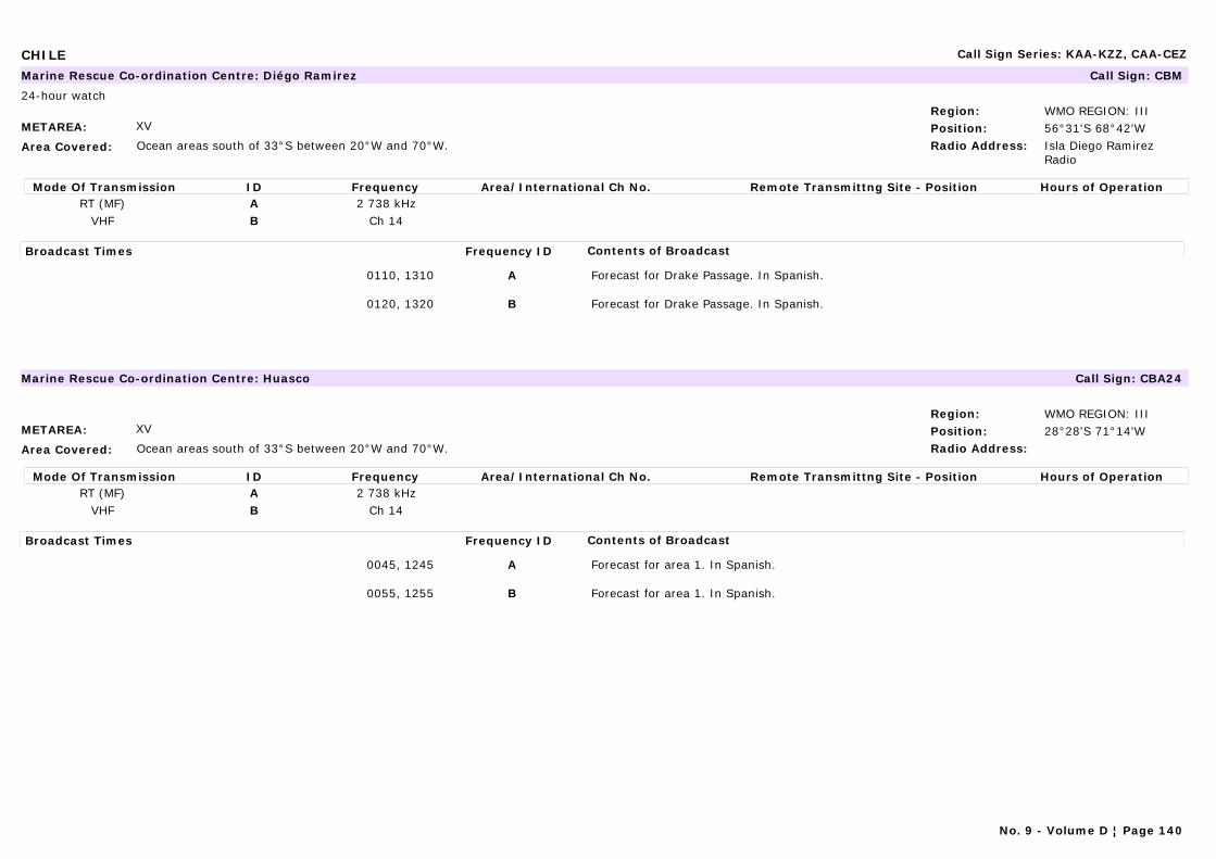
CHILE Call Sign Series: KAA-KZZ, CAA-CEZ
METAREA: XV
Area Covered: Ocean areas south of 33°S between 20°W and 70°W.
Region: WMO REGION: IIIPosition: 56°31'S 68°42'WRadio Address: Isla Diego Ramirez
Radio
Marine Rescue Co-ordination Centre: Diégo Ramirez Call Sign: CBM
24-hour watch
Mode Of Transmission ID Frequency Area/International Ch No. Remote Transmittng Site - Position Hours of OperationRT (MF) A 2 738 kHz
VHF B Ch 14
Broadcast Times Frequency ID Contents of Broadcast
0110, 1310 A Forecast for Drake Passage. In Spanish.
0120, 1320 B Forecast for Drake Passage. In Spanish.
METAREA: XV
Area Covered: Ocean areas south of 33°S between 20°W and 70°W.
Region: WMO REGION: IIIPosition: 28°28'S 71°14'WRadio Address:
Marine Rescue Co-ordination Centre: Huasco Call Sign: CBA24
Mode Of Transmission ID Frequency Area/International Ch No. Remote Transmittng Site - Position Hours of OperationRT (MF) A 2 738 kHz
VHF B Ch 14
Broadcast Times Frequency ID Contents of Broadcast
0045, 1245 A Forecast for area 1. In Spanish.
0055, 1255 B Forecast for area 1. In Spanish.
No. 9 - Volume D ¦ Page 140
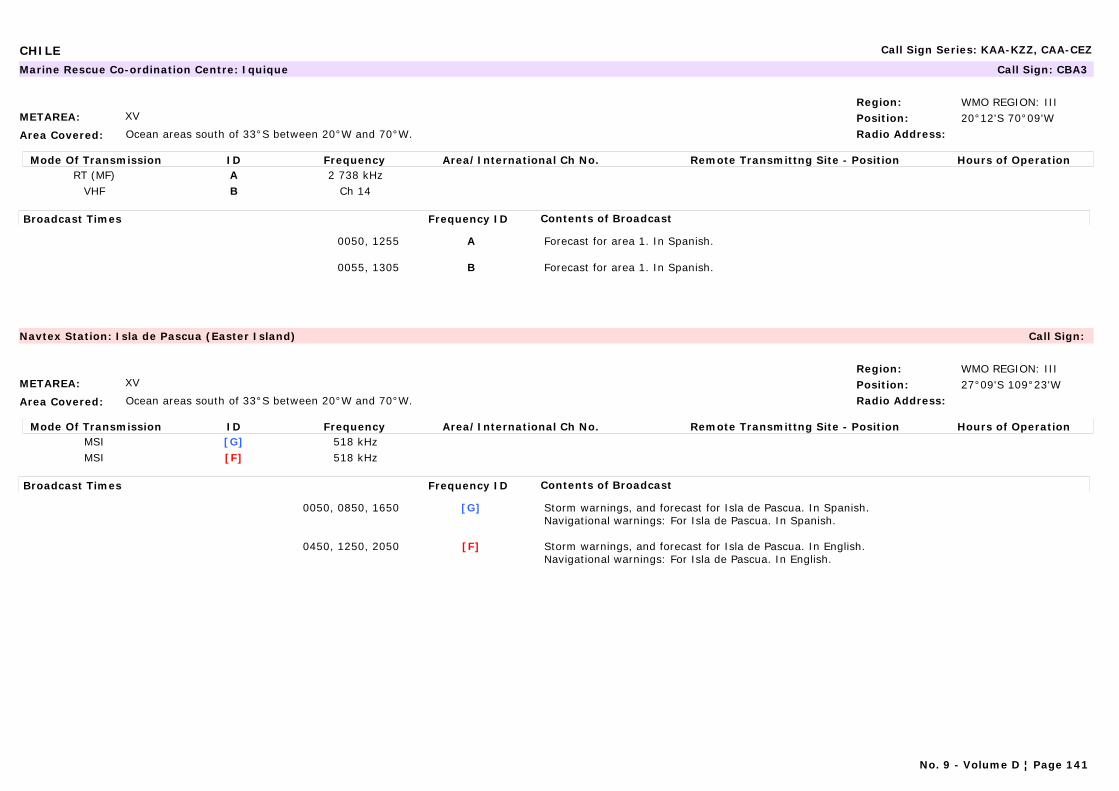
CHILE Call Sign Series: KAA-KZZ, CAA-CEZ
METAREA: XV
Area Covered: Ocean areas south of 33°S between 20°W and 70°W.
Region: WMO REGION: IIIPosition: 20°12'S 70°09'WRadio Address:
Marine Rescue Co-ordination Centre: Iquique Call Sign: CBA3
Mode Of Transmission ID Frequency Area/International Ch No. Remote Transmittng Site - Position Hours of OperationRT (MF) A 2 738 kHz
VHF B Ch 14
Broadcast Times Frequency ID Contents of Broadcast
0050, 1255 A Forecast for area 1. In Spanish.
0055, 1305 B Forecast for area 1. In Spanish.
METAREA: XV
Area Covered: Ocean areas south of 33°S between 20°W and 70°W.
Region: WMO REGION: IIIPosition: 27°09'S 109°23'WRadio Address:
Navtex Station: Isla de Pascua (Easter Island) Call Sign:
Mode Of Transmission ID Frequency Area/International Ch No. Remote Transmittng Site - Position Hours of OperationMSI [G] 518 kHzMSI [F] 518 kHz
Broadcast Times Frequency ID Contents of Broadcast
0050, 0850, 1650 [G] Storm warnings, and forecast for Isla de Pascua. In Spanish.Navigational warnings: For Isla de Pascua. In Spanish.
0450, 1250, 2050 [F] Storm warnings, and forecast for Isla de Pascua. In English.Navigational warnings: For Isla de Pascua. In English.
No. 9 - Volume D ¦ Page 141
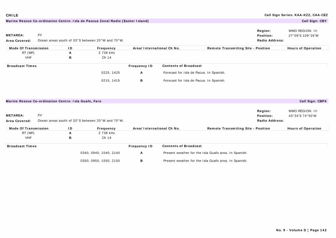
CHILE Call Sign Series: KAA-KZZ, CAA-CEZ
METAREA: XV
Area Covered: Ocean areas south of 33°S between 20°W and 70°W.
Region: WMO REGION: IIIPosition: 27°09'S 109°26'WRadio Address:
Marine Rescue Co-ordination Centre: Isla de Pascua Zonal Radio (Easter Island) Call Sign: CBY
Mode Of Transmission ID Frequency Area/International Ch No. Remote Transmittng Site - Position Hours of OperationRT (MF) A 2 738 kHz
VHF B Ch 14
Broadcast Times Frequency ID Contents of Broadcast
0225, 1425 A Forecast for Isla de Pacua. In Spanish.
0215, 1415 B Forecast for Isla de Pacua. In Spanish.
METAREA: XV
Area Covered: Ocean areas south of 33°S between 20°W and 70°W.
Region: WMO REGION: IIIPosition: 43°34'S 74°50'WRadio Address:
Marine Rescue Co-ordination Centre: Isla Guafo, Faro Call Sign: CBP4
Mode Of Transmission ID Frequency Area/International Ch No. Remote Transmittng Site - Position Hours of OperationRT (MF) A 2 738 kHz
VHF B Ch 14
Broadcast Times Frequency ID Contents of Broadcast
0340, 0940, 1540, 2140 A Present weather for the Isla Guafo area. In Spanish.
0350, 0950, 1550, 2150 B Present weather for the Isla Guafo area. In Spanish.
No. 9 - Volume D ¦ Page 142

CHILE Call Sign Series: KAA-KZZ, CAA-CEZ
METAREA: XV
Area Covered: Ocean areas south of 33°S between 20°W and 70°W.
Region: WMO REGION: IIIPosition: 38°23'S 73°53'WRadio Address:
Marine Rescue Co-ordination Centre: Isla Mocha, Faro Call Sign: CBT3
Mode Of Transmission ID Frequency Area/International Ch No. Remote Transmittng Site - Position Hours of OperationRT (MF) A 2 738 kHz
VHF B Ch 14
Broadcast Times Frequency ID Contents of Broadcast
0205, 1405 A Forecast for Isla Mocha. In Spanish.
0210, 1410 B Forecast for Isla Mocha. In Spanish.
METAREA: XV
Area Covered: Ocean areas south of 33°S between 20°W and 70°W.
Region: WMO REGION: IIIPosition: 36°37'S 73°03'WRadio Address:
Marine Rescue Co-ordination Centre: Isla Quiriquina, Faro Call Sign: CBT70
Mode Of Transmission ID Frequency Area/International Ch No. Remote Transmittng Site - Position Hours of OperationRT (MF) A 2 738 kHz
Broadcast Times Frequency ID Contents of Broadcast
0155, 1355 A Present weather for the Quiriquina area. In Spanish
No. 9 - Volume D ¦ Page 143

CHILE Call Sign Series: KAA-KZZ, CAA-CEZ
METAREA: XV
Area Covered: Ocean areas south of 33°S between 20°W and 70°W.
Region: WMO REGION: IIIPosition: 47°43'S 74°53'WRadio Address:
Marine Rescue Co-ordination Centre: Isla San Pedro Call Sign: CBS
Mode Of Transmission ID Frequency Area/International Ch No. Remote Transmittng Site - Position Hours of OperationRT (MF) A 2 738 kHz
VHF B Ch 14
Broadcast Times Frequency ID Contents of Broadcast
0105, 1305 A Forecast for Areas 6 & 7 and present weather for Isla San pedro and Golfo de Penas areas. In Spanish
0115, 1315 B Forecast for Areas 6 & 7 and present weather for Isla San pedro and Golfo de Penas areas. In Spanish
METAREA: XV
Area Covered: Ocean areas south of 33°S between 20°W and 70°W.
Region: WMO REGION: IIIPosition: 52°44'S 73°47'WRadio Address:
Marine Rescue Co-ordination Centre: Islote Fairway, Faro Call Sign: CBM4
Mode Of Transmission ID Frequency Area/International Ch No. Remote Transmittng Site - Position Hours of OperationRT (MF) A 2 738 kHz
VHF B Ch 14
Broadcast Times Frequency ID Contents of Broadcast
0150, 1350 A Present weather for Islote Fairway area with summaries for Felix and Evangelistas. In Spanish
0155, 1355 B Present weather for Islote Fairway area with summaries for Felix and Evangelistas. In Spanish
No. 9 - Volume D ¦ Page 144
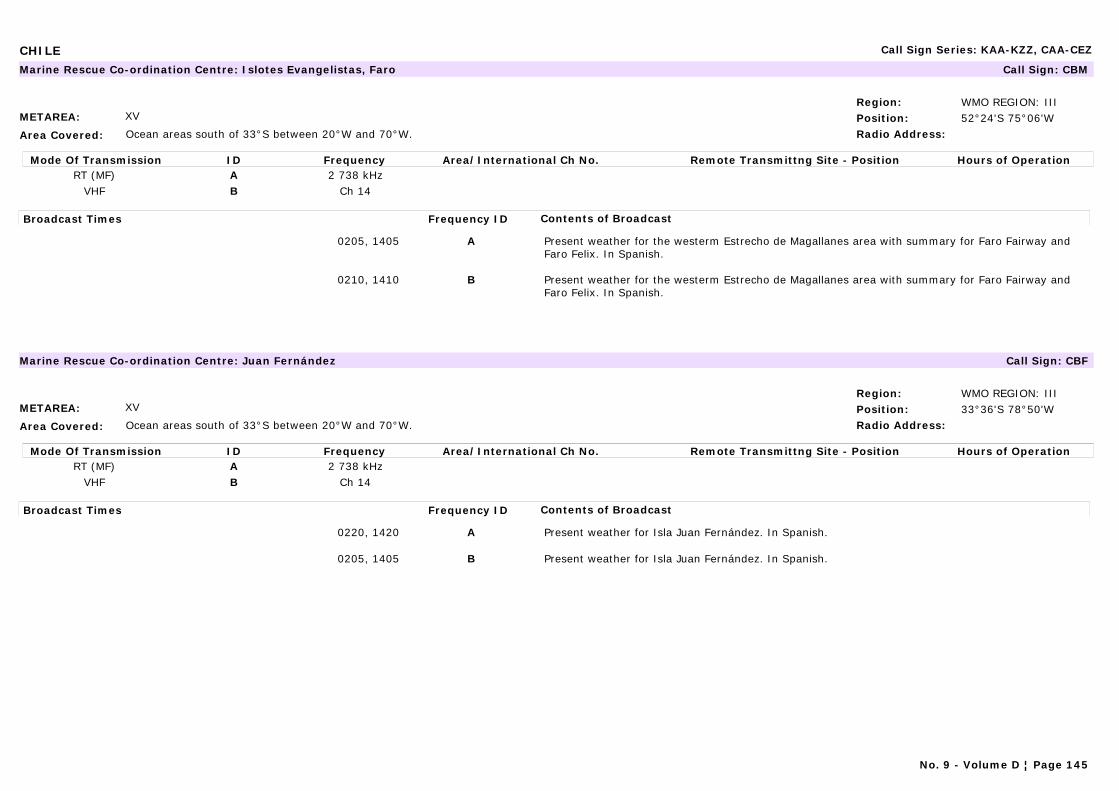
CHILE Call Sign Series: KAA-KZZ, CAA-CEZ
METAREA: XV
Area Covered: Ocean areas south of 33°S between 20°W and 70°W.
Region: WMO REGION: IIIPosition: 52°24'S 75°06'WRadio Address:
Marine Rescue Co-ordination Centre: Islotes Evangelistas, Faro Call Sign: CBM
Mode Of Transmission ID Frequency Area/International Ch No. Remote Transmittng Site - Position Hours of OperationRT (MF) A 2 738 kHz
VHF B Ch 14
Broadcast Times Frequency ID Contents of Broadcast
0205, 1405 A Present weather for the westerm Estrecho de Magallanes area with summary for Faro Fairway and Faro Felix. In Spanish.
0210, 1410 B Present weather for the westerm Estrecho de Magallanes area with summary for Faro Fairway and Faro Felix. In Spanish.
METAREA: XV
Area Covered: Ocean areas south of 33°S between 20°W and 70°W.
Region: WMO REGION: IIIPosition: 33°36'S 78°50'WRadio Address:
Marine Rescue Co-ordination Centre: Juan Fernández Call Sign: CBF
Mode Of Transmission ID Frequency Area/International Ch No. Remote Transmittng Site - Position Hours of OperationRT (MF) A 2 738 kHz
VHF B Ch 14
Broadcast Times Frequency ID Contents of Broadcast
0220, 1420 A Present weather for Isla Juan Fernández. In Spanish.
0205, 1405 B Present weather for Isla Juan Fernández. In Spanish.
No. 9 - Volume D ¦ Page 145
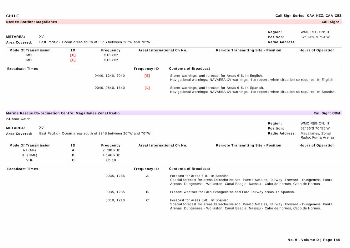
CHILE Call Sign Series: KAA-KZZ, CAA-CEZ
METAREA: XV
Area Covered: East Pacific - Ocean areas south of 33°S between 20°W and 70°W.
Region: WMO REGION: IIIPosition: 52°09'S 70°54'WRadio Address:
Navtex Station: Magallanes Call Sign:
Mode Of Transmission ID Frequency Area/International Ch No. Remote Transmittng Site - Position Hours of OperationMSI [E] 518 kHzMSI [L] 518 kHz
Broadcast Times Frequency ID Contents of Broadcast
0440, 1240, 2040 [E] Storm warnings, and forecast for Areas 6-8. In English.Navigational warnings: NAVAREA XV warnings. Ice reports when situation so requires. In English.
0040, 0840, 1640 [L] Storm warnings, and forecast for Areas 6-8. In Spanish.Navigational warnings: NAVAREA XV warnings. Ice reports when situation so requires. In Spanish.
METAREA: XV
Area Covered: East Pacific - Ocean areas south of 33°S between 20°W and 70°W.
Region: WMO REGION: IIIPosition: 52°56'S 70°55'WRadio Address: Magallanes, Zonal
Radio, Punta Arenas
Marine Rescue Co-ordination Centre: Magallanes Zonal Radio Call Sign: CBM
24-hour watch
Mode Of Transmission ID Frequency Area/International Ch No. Remote Transmittng Site - Position Hours of OperationRT (MF) A 2 738 kHz
RT (HMF) B 4 146 kHzVHF C Ch 10
Broadcast Times Frequency ID Contents of Broadcast
0035, 1235 A Forecast for areas 6-8. In Spanish.Special forecast for areas Estrecho Nelson, Puerto Natales, Fairway, Froward - Dungeness, Punta Arenas, Dungeness - Wollaston, Canal Beagle, Nassau - Cabo de hornos, Cabo de Hornos.
0035, 1235 B Present weather for Faro Evangelistas and Faro Fairway areas. In Spanish.
0010, 1210 C Forecast for areas 6-8. In Spanish.Special forecast for areas Estrecho Nelson, Puerto Natales, Fairway, Froward - Dungeness, Punta Arenas, Dungeness - Wollaston, Canal Beagle, Nassau - Cabo de hornos, Cabo de Hornos.
No. 9 - Volume D ¦ Page 146
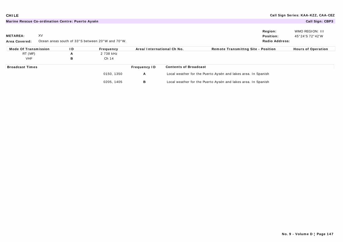
CHILE Call Sign Series: KAA-KZZ, CAA-CEZ
METAREA: XV
Area Covered: Ocean areas south of 33°S between 20°W and 70°W.
Region: WMO REGION: IIIPosition: 45°24'S 72°42'WRadio Address:
Marine Rescue Co-ordination Centre: Puerto Aysén Call Sign: CBP3
Mode Of Transmission ID Frequency Area/International Ch No. Remote Transmittng Site - Position Hours of OperationRT (MF) A 2 738 kHz
VHF B Ch 14
Broadcast Times Frequency ID Contents of Broadcast
0150, 1350 A Local weather for the Puerto Aysén and lakes area. In Spanish
0205, 1405 B Local weather for the Puerto Aysén and lakes area. In Spanish
No. 9 - Volume D ¦ Page 147

CHILE Call Sign Series: KAA-KZZ, CAA-CEZ
METAREA: XV
Area Covered: East Pacific - Ocean areas south of 33°S between 20°W and 70°W.
Region: WMO REGION: IIIPosition: 41°29'S 72°57'WRadio Address:
Marine Rescue Co-ordination Centre: Puerto Montt Zonal Radio Call Sign: CBP
Mode Of Transmission ID Frequency Area/International Ch No. Remote Transmittng Site - Position Hours of OperationRT (HMF) A 4 146 kHzRT (MF) A 2 738 kHz
VHF B Ch 10
Broadcast Times Frequency ID Contents of Broadcast
1130, 2325 A Forecast for areas 4-8 and present weather for Puerto Montt, Faro Corona, Faro Raper and Faro Guafo. In Spanish.Special forecast for areas Estrecho Nelson, Puerto Natales, Fairway, Froward - Dungeness, Punta Arenas, Dungeness - Wollaston, Canal Beagle, Nassau - Cabo de hornos, Cabo de Hornos.
1150, 2345 B Forecast for areas 4-8 and present weather for Puerto Montt, Faro Corona, Faro Raper and Faro Guafo. In Spanish.Special forecast for areas Estrecho Nelson, Puerto Natales, Fairway, Froward - Dungeness, Punta Arenas, Dungeness - Wollaston, Canal Beagle, Nassau - Cabo de hornos, Cabo de Hornos.
0430, 1230, 2030 D Storm warnings, and forecast for Areas 4-8.In English.National warnings (NURNAV). Ice Reports when situation so requires.In English.
0030, 0830, 1630 K Storm warnings, and forecast for Areas 4-8.National warnings (NURNAV). Ice Reports when situation so requires. In Spanish.
No. 9 - Volume D ¦ Page 148
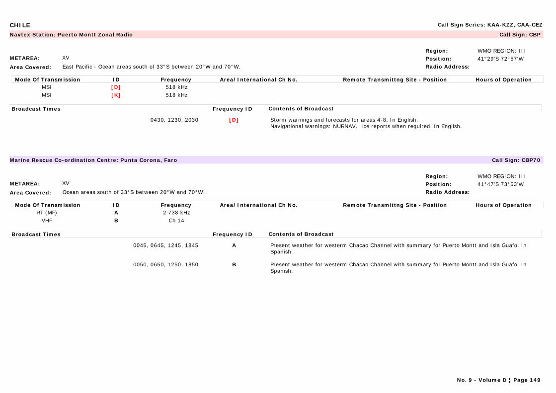
CHILE Call Sign Series: KAA-KZZ, CAA-CEZ
METAREA: XV
Area Covered: East Pacific - Ocean areas south of 33°S between 20°W and 70°W.
Region: WMO REGION: IIIPosition: 41°29'S 72°57'WRadio Address:
Navtex Station: Puerto Montt Zonal Radio Call Sign: CBP
Mode Of Transmission ID Frequency Area/International Ch No. Remote Transmittng Site - Position Hours of OperationMSI [D] 518 kHzMSI [K] 518 kHz
Broadcast Times Frequency ID Contents of Broadcast
0430, 1230, 2030 [D] Storm warnings and forecasts for areas 4-8. In English.Navigational warnings: NURNAV. Ice reports when required. In English.
METAREA: XV
Area Covered: Ocean areas south of 33°S between 20°W and 70°W.
Region: WMO REGION: IIIPosition: 41°47'S 73°53'WRadio Address:
Marine Rescue Co-ordination Centre: Punta Corona, Faro Call Sign: CBP70
Mode Of Transmission ID Frequency Area/International Ch No. Remote Transmittng Site - Position Hours of OperationRT (MF) A 2 738 kHz
VHF B Ch 14
Broadcast Times Frequency ID Contents of Broadcast
0045, 0645, 1245, 1845 A Present weather for westerm Chacao Channel with summary for Puerto Montt and Isla Guafo. In Spanish.
0050, 0650, 1250, 1850 B Present weather for westerm Chacao Channel with summary for Puerto Montt and Isla Guafo. In Spanish.
No. 9 - Volume D ¦ Page 149
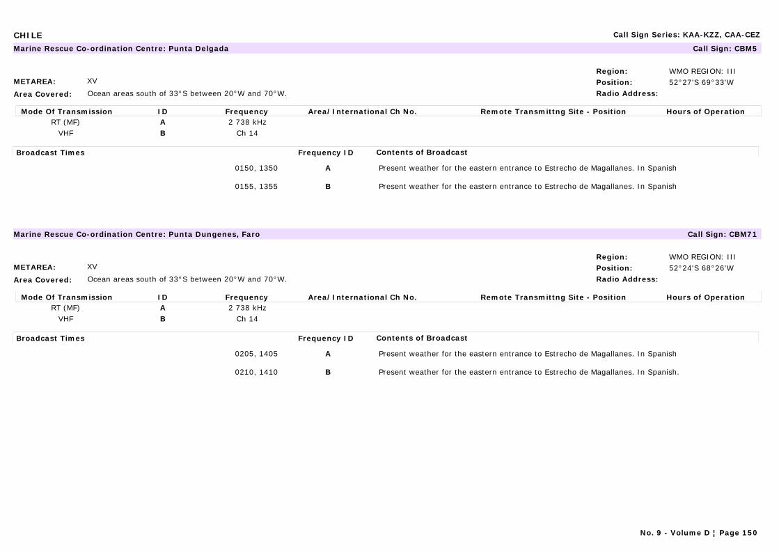
CHILE Call Sign Series: KAA-KZZ, CAA-CEZ
METAREA: XV
Area Covered: Ocean areas south of 33°S between 20°W and 70°W.
Region: WMO REGION: IIIPosition: 52°27'S 69°33'WRadio Address:
Marine Rescue Co-ordination Centre: Punta Delgada Call Sign: CBM5
Mode Of Transmission ID Frequency Area/International Ch No. Remote Transmittng Site - Position Hours of OperationRT (MF) A 2 738 kHz
VHF B Ch 14
Broadcast Times Frequency ID Contents of Broadcast
0150, 1350 A Present weather for the eastern entrance to Estrecho de Magallanes. In Spanish
0155, 1355 B Present weather for the eastern entrance to Estrecho de Magallanes. In Spanish
METAREA: XV
Area Covered: Ocean areas south of 33°S between 20°W and 70°W.
Region: WMO REGION: IIIPosition: 52°24'S 68°26'WRadio Address:
Marine Rescue Co-ordination Centre: Punta Dungenes, Faro Call Sign: CBM71
Mode Of Transmission ID Frequency Area/International Ch No. Remote Transmittng Site - Position Hours of OperationRT (MF) A 2 738 kHz
VHF B Ch 14
Broadcast Times Frequency ID Contents of Broadcast
0205, 1405 A Present weather for the eastern entrance to Estrecho de Magallanes. In Spanish
0210, 1410 B Present weather for the eastern entrance to Estrecho de Magallanes. In Spanish.
No. 9 - Volume D ¦ Page 150
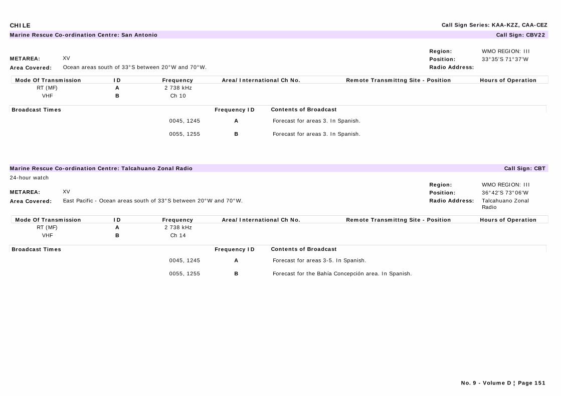
CHILE Call Sign Series: KAA-KZZ, CAA-CEZ
METAREA: XV
Area Covered: Ocean areas south of 33°S between 20°W and 70°W.
Region: WMO REGION: IIIPosition: 33°35'S 71°37'WRadio Address:
Marine Rescue Co-ordination Centre: San Antonio Call Sign: CBV22
Mode Of Transmission ID Frequency Area/International Ch No. Remote Transmittng Site - Position Hours of OperationRT (MF) A 2 738 kHz
VHF B Ch 10
Broadcast Times Frequency ID Contents of Broadcast
0045, 1245 A Forecast for areas 3. In Spanish.
0055, 1255 B Forecast for areas 3. In Spanish.
METAREA: XV
Area Covered: East Pacific - Ocean areas south of 33°S between 20°W and 70°W.
Region: WMO REGION: IIIPosition: 36°42'S 73°06'WRadio Address: Talcahuano Zonal
Radio
Marine Rescue Co-ordination Centre: Talcahuano Zonal Radio Call Sign: CBT
24-hour watch
Mode Of Transmission ID Frequency Area/International Ch No. Remote Transmittng Site - Position Hours of OperationRT (MF) A 2 738 kHz
VHF B Ch 14
Broadcast Times Frequency ID Contents of Broadcast
0045, 1245 A Forecast for areas 3-5. In Spanish.
0055, 1255 B Forecast for the Bahía Concepción area. In Spanish.
No. 9 - Volume D ¦ Page 151
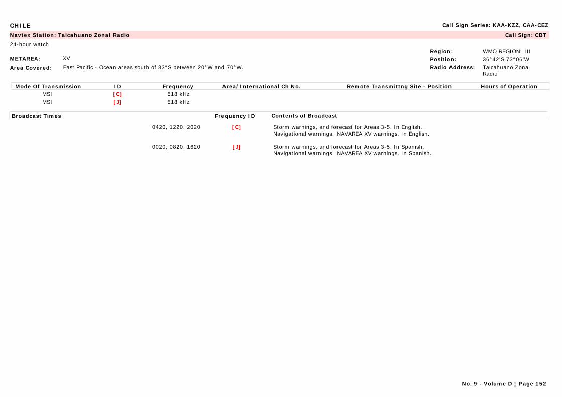
CHILE Call Sign Series: KAA-KZZ, CAA-CEZ
METAREA: XV
Area Covered: East Pacific - Ocean areas south of 33°S between 20°W and 70°W.
Region: WMO REGION: IIIPosition: 36°42'S 73°06'WRadio Address: Talcahuano Zonal
Radio
Navtex Station: Talcahuano Zonal Radio Call Sign: CBT
24-hour watch
Mode Of Transmission ID Frequency Area/International Ch No. Remote Transmittng Site - Position Hours of OperationMSI [C] 518 kHzMSI [J] 518 kHz
Broadcast Times Frequency ID Contents of Broadcast
0420, 1220, 2020 [C] Storm warnings, and forecast for Areas 3-5. In English.Navigational warnings: NAVAREA XV warnings. In English.
0020, 0820, 1620 [J] Storm warnings, and forecast for Areas 3-5. In Spanish.Navigational warnings: NAVAREA XV warnings. In Spanish.
No. 9 - Volume D ¦ Page 152
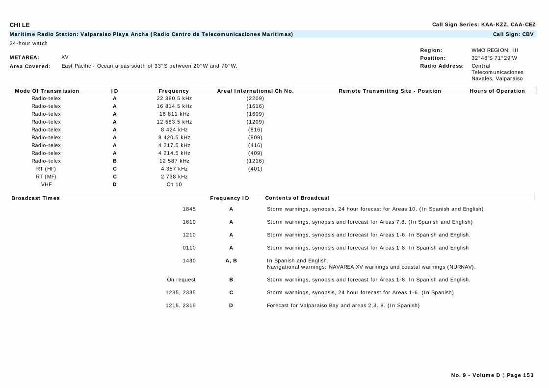
CHILE Call Sign Series: KAA-KZZ, CAA-CEZ
METAREA: XV
Area Covered: East Pacific - Ocean areas south of 33°S between 20°W and 70°W.
Region: WMO REGION: IIIPosition: 32°48'S 71°29'WRadio Address: Central
Telecomunicaciones Navales, Valparaiso
Maritime Radio Station: Valparaiso Playa Ancha (Radio Centro de Telecomunicaciones Maritimas) Call Sign: CBV
24-hour watch
Mode Of Transmission ID Frequency Area/International Ch No. Remote Transmittng Site - Position Hours of OperationRadio-telex A 22 380.5 kHz (2209)Radio-telex A 16 814.5 kHz (1616)Radio-telex A 16 811 kHz (1609)Radio-telex A 12 583.5 kHz (1209)Radio-telex A 8 424 kHz (816)Radio-telex A 8 420.5 kHz (809)Radio-telex A 4 217.5 kHz (416)Radio-telex A 4 214.5 kHz (409)Radio-telex B 12 587 kHz (1216)
RT (HF) C 4 357 kHz (401)RT (MF) C 2 738 kHz
VHF D Ch 10
Broadcast Times Frequency ID Contents of Broadcast
1845 A Storm warnings, synopsis, 24 hour forecast for Areas 10. (In Spanish and English)
1610 A Storm warnings, synopsis and forecast for Areas 7,8. (In Spanish and English)
1210 A Storm warnings, synopsis and forecast for Areas 1-6. In Spanish and English.
0110 A Storm warnings, synopsis and forecast for Areas 1-8. In Spanish and English
1430 A, B In Spanish and English.Navigational warnings: NAVAREA XV warnings and coastal warnings (NURNAV).
On request B Storm warnings, synopsis and forecast for Areas 1-8. In Spanish and English.
1235, 2335 C Storm warnings, synopsis, 24 hour forecast for Areas 1-6. (In Spanish)
1215, 2315 D Forecast for Valparaiso Bay and areas 2,3. 8. (In Spanish)
No. 9 - Volume D ¦ Page 153
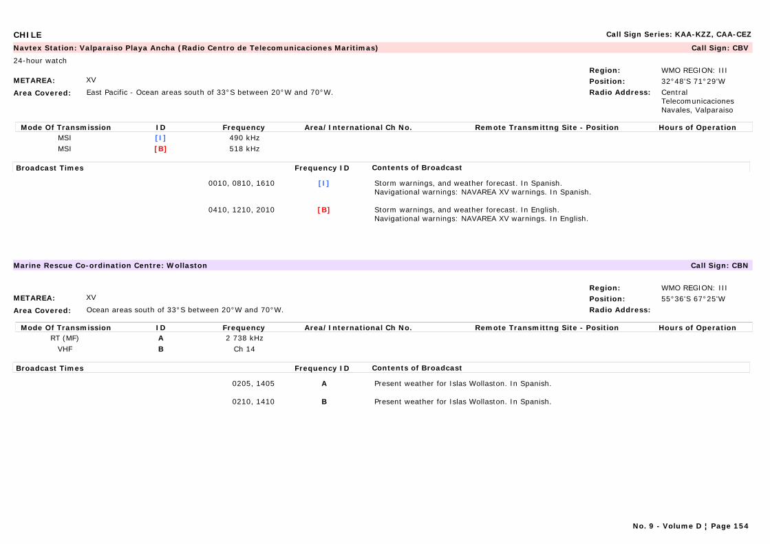
CHILE Call Sign Series: KAA-KZZ, CAA-CEZ
METAREA: XV
Area Covered: East Pacific - Ocean areas south of 33°S between 20°W and 70°W.
Region: WMO REGION: IIIPosition: 32°48'S 71°29'WRadio Address: Central
Telecomunicaciones Navales, Valparaiso
Navtex Station: Valparaiso Playa Ancha (Radio Centro de Telecomunicaciones Maritimas) Call Sign: CBV
24-hour watch
Mode Of Transmission ID Frequency Area/International Ch No. Remote Transmittng Site - Position Hours of OperationMSI [I] 490 kHzMSI [B] 518 kHz
Broadcast Times Frequency ID Contents of Broadcast
0010, 0810, 1610 [I] Storm warnings, and weather forecast. In Spanish.Navigational warnings: NAVAREA XV warnings. In Spanish.
0410, 1210, 2010 [B] Storm warnings, and weather forecast. In English.Navigational warnings: NAVAREA XV warnings. In English.
METAREA: XV
Area Covered: Ocean areas south of 33°S between 20°W and 70°W.
Region: WMO REGION: IIIPosition: 55°36'S 67°25'WRadio Address:
Marine Rescue Co-ordination Centre: Wollaston Call Sign: CBN
Mode Of Transmission ID Frequency Area/International Ch No. Remote Transmittng Site - Position Hours of OperationRT (MF) A 2 738 kHz
VHF B Ch 14
Broadcast Times Frequency ID Contents of Broadcast
0205, 1405 A Present weather for Islas Wollaston. In Spanish.
0210, 1410 B Present weather for Islas Wollaston. In Spanish.
No. 9 - Volume D ¦ Page 154

CHINA Call Sign Series: XSA-XSZ
METAREA: XI
Area Covered: East/South China Sea
Region: WMO REGION: IIPosition: 38°52'N 121°31'ERadio Address: METEO Dalian
Navtex Station: Dalian Call Sign: XSZ
24-hour watch
Mode Of Transmission ID Frequency Area/International Ch No. Remote Transmittng Site - Position Hours of OperationMSI [R] 518 kHz
Broadcast Times Frequency ID Contents of Broadcast
0650, 1450, 2250 [R] Navigational warnings: For Areas 1-4. In English and Chinese.
0250, 1050 [R] Gale warnings, situation, 24 hour forecast for areas 1-4. In English and Chinese.
0250, 0650, 1050, 1450, 2250 [R] Storm Warnings. In English and Chinese.
METAREA: XI
Area Covered:
Region: WMO REGION: IIPosition: 26°02'N 119°18'ERadio Address:
Navtex Station: Fuzhou Call Sign:
Mode Of Transmission ID Frequency Area/International Ch No. Remote Transmittng Site - Position Hours of OperationMSI [O] 518 kHz
Broadcast Times Frequency ID Contents of Broadcast
0220, 0620, 1020, 1420, 2220 [O] In English and Chinese.
No. 9 - Volume D ¦ Page 155

CHINA Call Sign Series: XSA-XSZ
METAREA: XI
Area Covered: East/South China SeaTaiwan Straits, Bashi Channel, Nanhai Sea and Beibu Wan Gulf (Bac Bo Gulf) (see map)
Region: WMO REGION: IIPosition: 23°09'N 113°29'ERadio Address: METEO Guangzhou
Maritime Radio Station: Guangzhou Call Sign: XSQ
24-hour watch
Mode Of Transmission ID Frequency Area/International Ch No. Remote Transmittng Site - Position Hours of OperationWT (MF) A 445 kHz H24WT (HF) B 4 340 kHz 1000-2200WT (HF) C 6 382 kHz 2200-1000WT (HF) D 8 458 kHz H24WT (HF) E 12 973 kHz H24
Radio-telex F 4 219 kHz (419) 1200-0000Radio-telex G 6 329 kHz (631) 0000-1200Radio-telex H 8 431 kHz (830) H24Radio-telex I 12 622.5 kHz (1288) H24Radio-telex J 16 854 kHz (1696) H24
Broadcast Times Frequency ID Contents of Broadcast
1400 A, B, D, E Navigational warnings: For coastal waters of China S of 24°N. In Chinese.
1300 A, B, D, E Tropical strom warnings, 24 hour forecast. In Chinese.
0600 A, C-E Navigational warnings: For coastal waters of China S of 24°N. In Chinese.
0200, 0730 A, C-E Navigational warnings: For coastal waters of China S of 24°N. In Chinese.
0100 A, C-E Tropical strom warnings, 24 hour forecast. In Chinese.
0030 A, C-E Tropical strom warnings, 24 hour forecast. In English.
1230 A-E Tropical strom warnings, 24 hour forecast. In English.
0248, 0448, 084, 1048, 1448, 1648, 2048, 2248 A-E Storm warnings. In Chinese and English.Navigational warnings: For coastal waters of China S of 24°N.
1320 F, H-J Tropical strom warnings, 24 hour forecast - in English.Navigational warnings: For coastal waters of China S of 24°N - in Chinese.
0720 G-J In English.Navigational warnings: For coastal waters of China S of 24°N. In In English.
0120 G-J Tropical strom warnings, 24 hour forecast - in English.Navigational warnings: For coastal waters of China S of 24°N - in Chinese.
No. 9 - Volume D ¦ Page 156
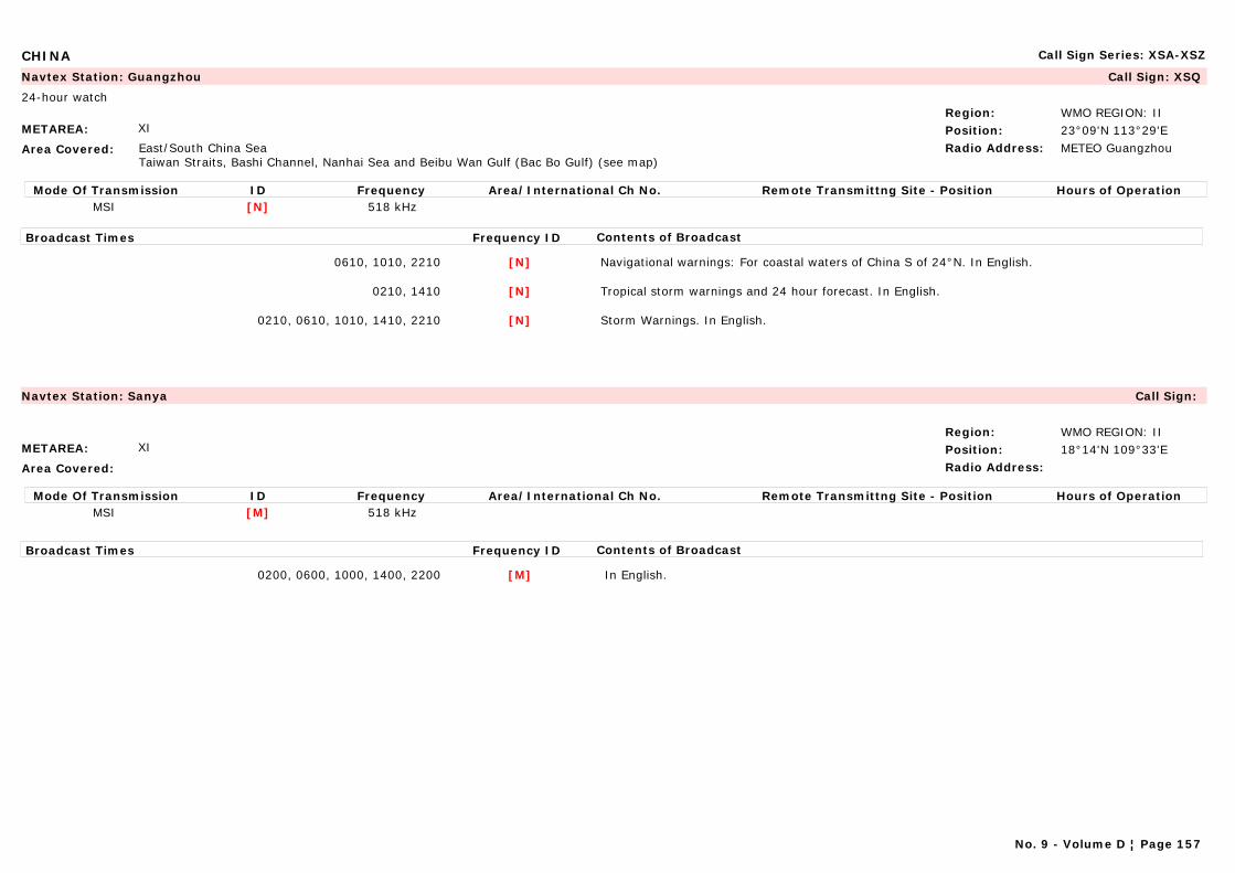
CHINA Call Sign Series: XSA-XSZ
METAREA: XI
Area Covered: East/South China SeaTaiwan Straits, Bashi Channel, Nanhai Sea and Beibu Wan Gulf (Bac Bo Gulf) (see map)
Region: WMO REGION: IIPosition: 23°09'N 113°29'ERadio Address: METEO Guangzhou
Navtex Station: Guangzhou Call Sign: XSQ
24-hour watch
Mode Of Transmission ID Frequency Area/International Ch No. Remote Transmittng Site - Position Hours of OperationMSI [N] 518 kHz
Broadcast Times Frequency ID Contents of Broadcast
0610, 1010, 2210 [N] Navigational warnings: For coastal waters of China S of 24°N. In English.
0210, 1410 [N] Tropical storm warnings and 24 hour forecast. In English.
0210, 0610, 1010, 1410, 2210 [N] Storm Warnings. In English.
METAREA: XI
Area Covered:
Region: WMO REGION: IIPosition: 18°14'N 109°33'ERadio Address:
Navtex Station: Sanya Call Sign:
Mode Of Transmission ID Frequency Area/International Ch No. Remote Transmittng Site - Position Hours of OperationMSI [M] 518 kHz
Broadcast Times Frequency ID Contents of Broadcast
0200, 0600, 1000, 1400, 2200 [M] In English.
No. 9 - Volume D ¦ Page 157
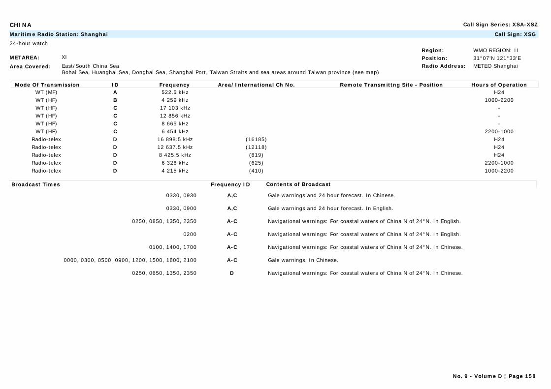
CHINA Call Sign Series: XSA-XSZ
METAREA: XI
Area Covered: East/South China SeaBohai Sea, Huanghai Sea, Donghai Sea, Shanghai Port, Taiwan Straits and sea areas around Taiwan province (see map)
Region: WMO REGION: IIPosition: 31°07'N 121°33'ERadio Address: METEO Shanghai
Maritime Radio Station: Shanghai Call Sign: XSG
24-hour watch
Mode Of Transmission ID Frequency Area/International Ch No. Remote Transmittng Site - Position Hours of OperationWT (MF) A 522.5 kHz H24WT (HF) B 4 259 kHz 1000-2200WT (HF) C 17 103 kHz -WT (HF) C 12 856 kHz -WT (HF) C 8 665 kHz -WT (HF) C 6 454 kHz 2200-1000
Radio-telex D 16 898.5 kHz (16185) H24Radio-telex D 12 637.5 kHz (12118) H24Radio-telex D 8 425.5 kHz (819) H24Radio-telex D 6 326 kHz (625) 2200-1000Radio-telex D 4 215 kHz (410) 1000-2200
Broadcast Times Frequency ID Contents of Broadcast
0330, 0930 A,C Gale warnings and 24 hour forecast. In Chinese.
0330, 0900 A,C Gale warnings and 24 hour forecast. In English.
0250, 0850, 1350, 2350 A-C Navigational warnings: For coastal waters of China N of 24°N. In English.
0200 A-C Navigational warnings: For coastal waters of China N of 24°N. In English.
0100, 1400, 1700 A-C Navigational warnings: For coastal waters of China N of 24°N. In Chinese.
0000, 0300, 0500, 0900, 1200, 1500, 1800, 2100 A-C Gale warnings. In Chinese.
0250, 0650, 1350, 2350 D Navigational warnings: For coastal waters of China N of 24°N. In Chinese.
No. 9 - Volume D ¦ Page 158
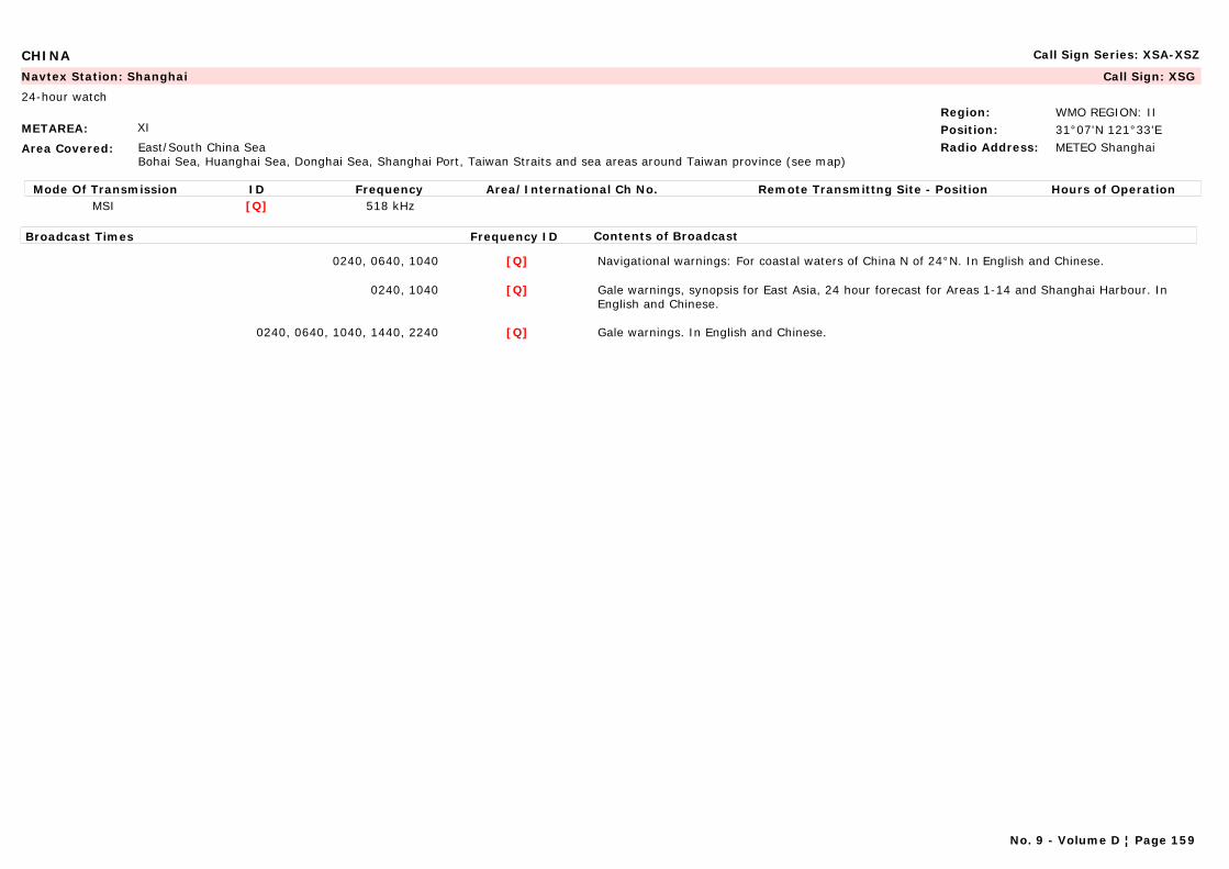
CHINA Call Sign Series: XSA-XSZ
METAREA: XI
Area Covered: East/South China SeaBohai Sea, Huanghai Sea, Donghai Sea, Shanghai Port, Taiwan Straits and sea areas around Taiwan province (see map)
Region: WMO REGION: IIPosition: 31°07'N 121°33'ERadio Address: METEO Shanghai
Navtex Station: Shanghai Call Sign: XSG
24-hour watch
Mode Of Transmission ID Frequency Area/International Ch No. Remote Transmittng Site - Position Hours of OperationMSI [Q] 518 kHz
Broadcast Times Frequency ID Contents of Broadcast
0240, 0640, 1040 [Q] Navigational warnings: For coastal waters of China N of 24°N. In English and Chinese.
0240, 1040 [Q] Gale warnings, synopsis for East Asia, 24 hour forecast for Areas 1-14 and Shanghai Harbour. In English and Chinese.
0240, 0640, 1040, 1440, 2240 [Q] Gale warnings. In English and Chinese.
No. 9 - Volume D ¦ Page 159
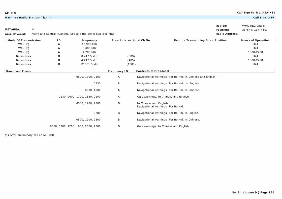
CHINA Call Sign Series: XSA-XSZ
METAREA: XI
Area Covered: North and Central Huanghai Sea and the Bohai Sea (see map)
Region: WMO REGION: IIPosition: 38°54'N 117°44'ERadio Address:
Maritime Radio Station: Tianjin Call Sign: XSV
Mode Of Transmission ID Frequency Area/International Ch No. Remote Transmittng Site - Position Hours of OperationWT (HF) A 12 969 kHz H24WT (HF) A 8 600 kHz H24WT (HF) A 4 283 kHz 1000-2200
Radio-telex B 8 417.5 kHz (803) H24Radio-telex B 4 212.5 kHz (405) 1000-2200Radio-telex B 12 581.5 kHz (1205) H24
Broadcast Times Frequency ID Contents of Broadcast
0600, 1300, 2100 A Navigational warnings: For Bo Hai. In Chinese and English.
0230 A Navigational warnings: For Bo Hai. In English.
0630, 1330 A Navigational warnings: For Bo Hai. In Chinese.
0230, 0600, 1300, 1830, 2200 A Gale warnings. In Chinese and English.
0500, 1200, 2300 B In Chinese and English.Navigational warnings: For Bo Hai.
0700 B Navigational warnings: For Bo Hai. In English.
0500, 1200, 2300 B Navigational warnings: For Bo Hai. In Chinese.
0500, 0700, 1200, 1600, 2000, 2300 B Gale warnings. In Chinese and English.
(1) After preliminary call on 500 kHz.
No. 9 - Volume D ¦ Page 160
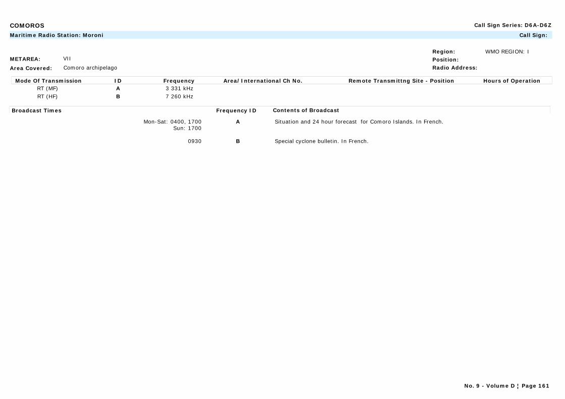
COMOROS Call Sign Series: D6A-D6Z
METAREA: VII
Area Covered: Comoro archipelago
Region: WMO REGION: IPosition:Radio Address:
Maritime Radio Station: Moroni Call Sign:
Mode Of Transmission ID Frequency Area/International Ch No. Remote Transmittng Site - Position Hours of OperationRT (MF) A 3 331 kHzRT (HF) B 7 260 kHz
Broadcast Times Frequency ID Contents of Broadcast
Mon-Sat: 0400, 1700Sun: 1700
A Situation and 24 hour forecast for Comoro Islands. In French.
0930 B Special cyclone bulletin. In French.
No. 9 - Volume D ¦ Page 161
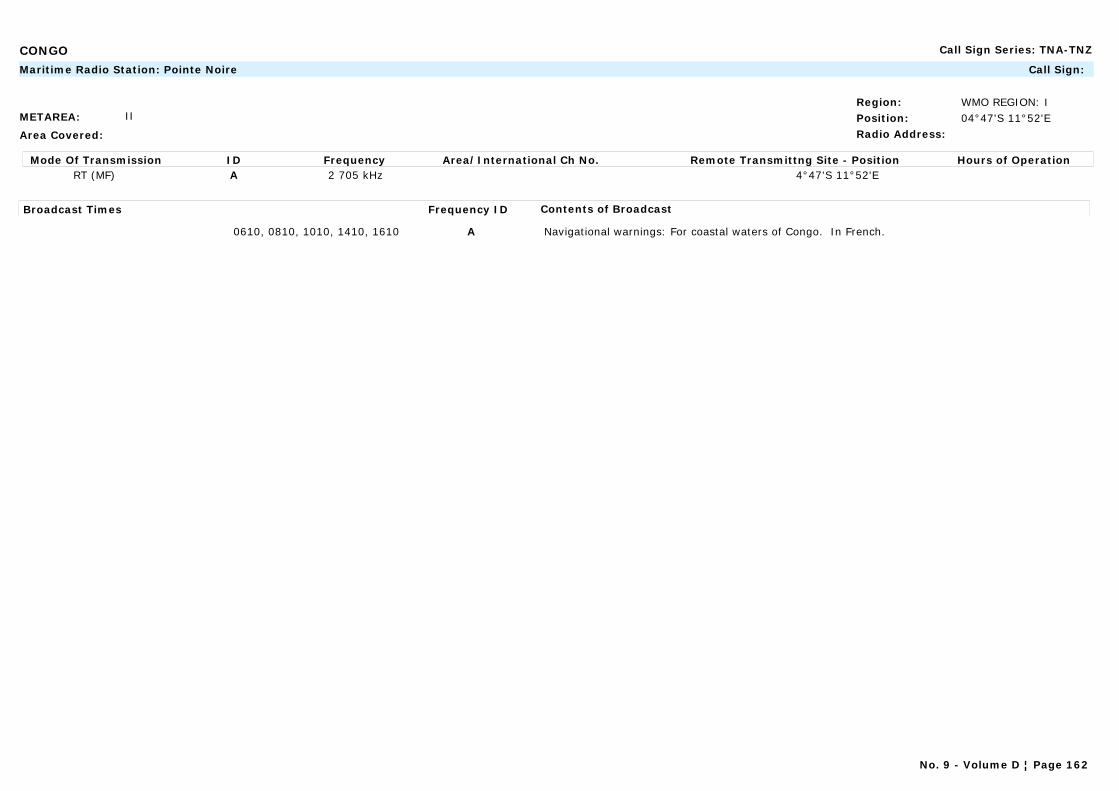
CONGO Call Sign Series: TNA-TNZ
METAREA: II
Area Covered:
Region: WMO REGION: IPosition: 04°47'S 11°52'ERadio Address:
Maritime Radio Station: Pointe Noire Call Sign:
Mode Of Transmission ID Frequency Area/International Ch No. Remote Transmittng Site - Position Hours of OperationRT (MF) A 2 705 kHz 4°47'S 11°52'E
Broadcast Times Frequency ID Contents of Broadcast
0610, 0810, 1010, 1410, 1610 A Navigational warnings: For coastal waters of Congo. In French.
No. 9 - Volume D ¦ Page 162
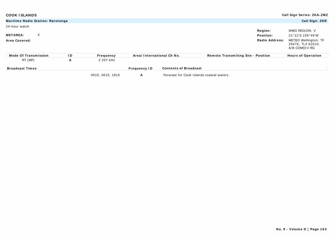
COOK ISLANDS Call Sign Series: ZKA-ZMZ
METAREA: X
Area Covered:
Region: WMO REGION: VPosition: 21°12'S 159°49'WRadio Address: METEO Wellington; TF
29476; TLX 62010; A/B COMDIV RG
Maritime Radio Station: Rarotonga Call Sign: ZKR
24-hour watch
Mode Of Transmission ID Frequency Area/International Ch No. Remote Transmittng Site - Position Hours of OperationRT (MF) A 2 207 kHz
Broadcast Times Frequency ID Contents of Broadcast
0015, 0615, 1815 A Forecast for Cook Islands coastal waters.
No. 9 - Volume D ¦ Page 163
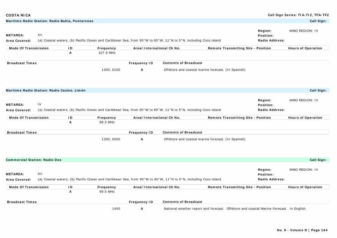
COSTA RICA Call Sign Series: TIA-TIZ, TFA-TFZ
METAREA: XII
Area Covered: (a) Coastal waters, (b) Pacific Ocean and Caribbean Sea, from 90°W to 80°W, 11°N to 5°N, including Coco island
Region: WMO REGION: IVPosition:Radio Address:
Maritime Radio Station: Radio Bahía, Puntarenas Call Sign:
Mode Of Transmission ID Frequency Area/International Ch No. Remote Transmittng Site - Position Hours of OperationA 107.9 MHz
Broadcast Times Frequency ID Contents of Broadcast
1300, 0100 A Offshore and coastal marine forecast. (In Spanish)
METAREA: IV
Area Covered: (a) Coastal waters, (b) Pacific Ocean and Caribbean Sea, from 90°W to 80°W, 11°N to 5°N, including Coco island
Region: WMO REGION: IVPosition:Radio Address:
Maritime Radio Station: Radio Casino, Limón Call Sign:
Mode Of Transmission ID Frequency Area/International Ch No. Remote Transmittng Site - Position Hours of OperationA 98.3 MHz
Broadcast Times Frequency ID Contents of Broadcast
1300, 0000 A Offshore and coastal marine forecast. (In Spanish)
METAREA: XII
Area Covered: (a) Coastal waters; (b) Pacific Ocean and Caribbean Sea, from 90°W to 80°W, 11°N to 5°N, including Coco island
Region: WMO REGION: IVPosition:Radio Address:
Commercial Station: Radio Dos Call Sign:
Mode Of Transmission ID Frequency Area/International Ch No. Remote Transmittng Site - Position Hours of OperationA 99.5 MHz
Broadcast Times Frequency ID Contents of Broadcast
1400 A National weather report and forecast. Offshore and coastal Marine Forecast. In English.
No. 9 - Volume D ¦ Page 164
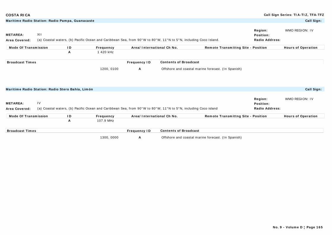
COSTA RICA Call Sign Series: TIA-TIZ, TFA-TFZ
METAREA: XII
Area Covered: (a) Coastal waters, (b) Pacific Ocean and Caribbean Sea, from 90°W to 80°W, 11°N to 5°N, including Coco Island.
Region: WMO REGION: IVPosition:Radio Address:
Maritime Radio Station: Radio Pampa, Guanacaste Call Sign:
Mode Of Transmission ID Frequency Area/International Ch No. Remote Transmittng Site - Position Hours of OperationA 1 420 kHz
Broadcast Times Frequency ID Contents of Broadcast
1200, 0100 A Offshore and coastal marine forecast. (In Spanish)
METAREA: IV
Area Covered: (a) Coastal waters, (b) Pacific Ocean and Caribbean Sea, from 90°W to 80°W, 11°N to 5°N, including Coco island
Region: WMO REGION: IVPosition:Radio Address:
Maritime Radio Station: Radio Stero Bahía, Limón Call Sign:
Mode Of Transmission ID Frequency Area/International Ch No. Remote Transmittng Site - Position Hours of OperationA 107.9 MHz
Broadcast Times Frequency ID Contents of Broadcast
1300, 0000 A Offshore and coastal marine forecast. (In Spanish)
No. 9 - Volume D ¦ Page 165
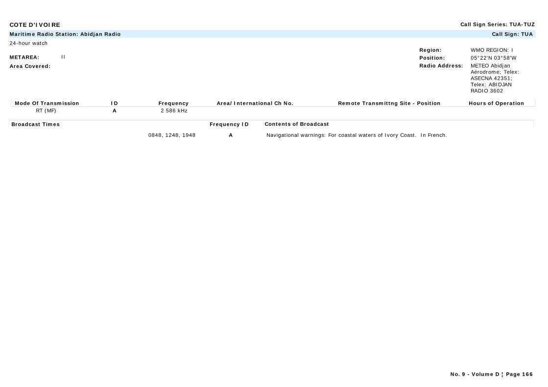
COTE D'IVOIRE Call Sign Series: TUA-TUZ
METAREA: II
Area Covered:
Region: WMO REGION: IPosition: 05°22'N 03°58'WRadio Address: METEO Abidjan
Aérodrome; Telex: ASECNA 42351; Telex: ABIDJAN RADIO 3602
Maritime Radio Station: Abidjan Radio Call Sign: TUA
24-hour watch
Mode Of Transmission ID Frequency Area/International Ch No. Remote Transmittng Site - Position Hours of OperationRT (MF) A 2 586 kHz
Broadcast Times Frequency ID Contents of Broadcast
0848, 1248, 1948 A Navigational warnings: For coastal waters of Ivory Coast. In French.
No. 9 - Volume D ¦ Page 166
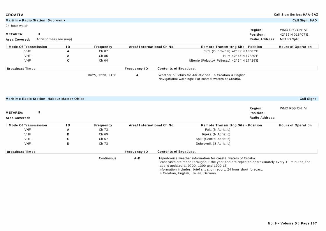
CROATIA Call Sign Series: 9AA-9AZ
METAREA: III
Area Covered: Adriatic Sea (see map)
Region: WMO REGION: VIPosition: 42°39'N 018°07'ERadio Address: METEO Split
Maritime Radio Station: Dubrovnik Call Sign: 9AD
24-hour watch
Mode Of Transmission ID Frequency Area/International Ch No. Remote Transmittng Site - Position Hours of OperationVHF A Ch 07 Srdj (Dubrovnik) 42°39'N 18°07'EVHF A Ch 85 Hum 42°45'N 17°29'EVHF C Ch 04 Uljenje (Poluotok Peljesac) 42°54'N 17°29'E
Broadcast Times Frequency ID Contents of Broadcast
0625, 1320, 2120 A Weather bulletins for Adriatic sea. In Croatian & English.Navigational warnings: For coastal waters of Croatia.
METAREA: III
Area Covered:
Region: WMO REGION: VIPosition:Radio Address:
Maritime Radio Station: Habour Master Office Call Sign:
Mode Of Transmission ID Frequency Area/International Ch No. Remote Transmittng Site - Position Hours of OperationVHF A Ch 73 Pula (N Adriatic)VHF B Ch 69 Rijeka (N Adriatic)VHF C Ch 67 Split (Central Adriatic)VHF D Ch 73 Dubrovnik (S Adriatic)
Broadcast Times Frequency ID Contents of Broadcast
Continuous A-D Taped-voice weather information for coastal waters of Croatia.Broadcasts are made throughout the year and are repeated approximately every 10 minutes, the tape is updated at 0700, 1300 and 1900 LT. Information includes: brief situation report, 24 hour short forecast.In Croatian, English, Italian, German.
No. 9 - Volume D ¦ Page 167
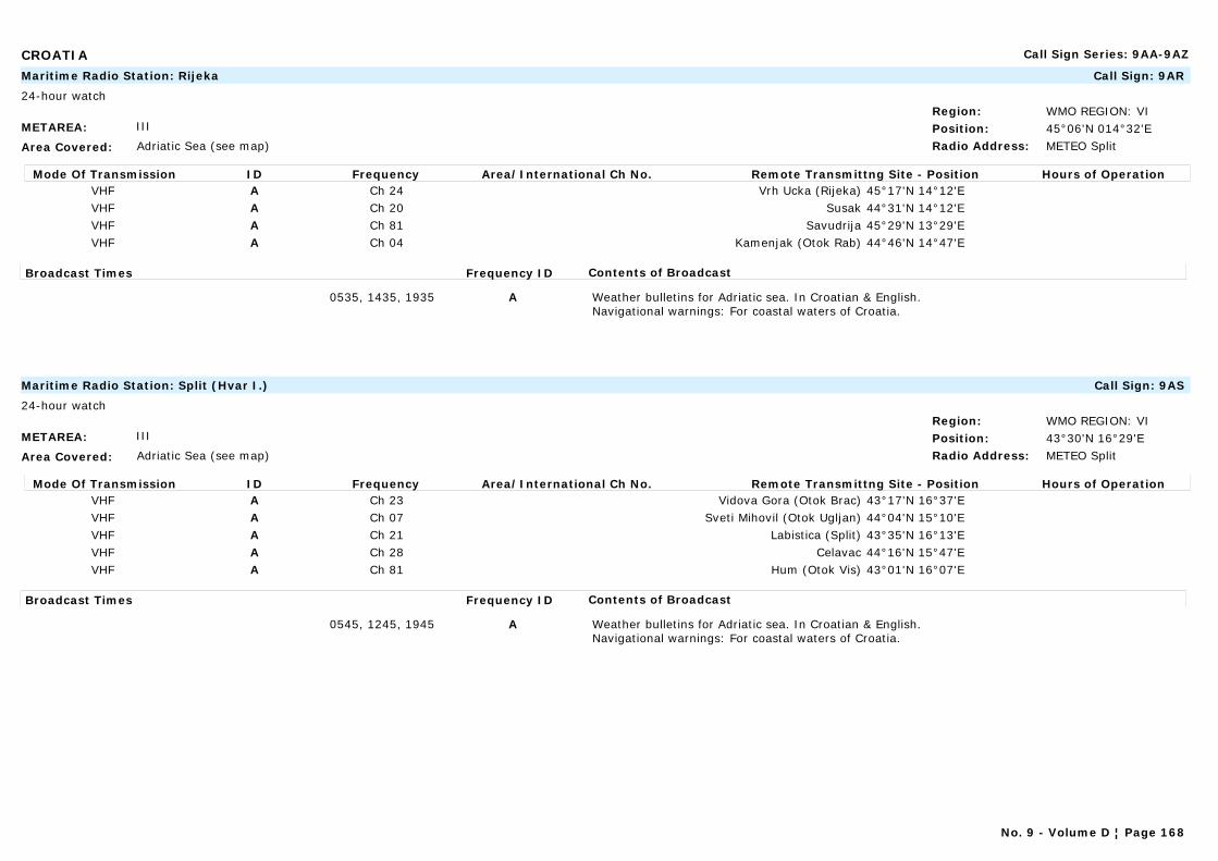
CROATIA Call Sign Series: 9AA-9AZ
METAREA: III
Area Covered: Adriatic Sea (see map)
Region: WMO REGION: VIPosition: 45°06'N 014°32'ERadio Address: METEO Split
Maritime Radio Station: Rijeka Call Sign: 9AR
24-hour watch
Mode Of Transmission ID Frequency Area/International Ch No. Remote Transmittng Site - Position Hours of OperationVHF A Ch 24 Vrh Ucka (Rijeka) 45°17'N 14°12'EVHF A Ch 20 Susak 44°31'N 14°12'EVHF A Ch 81 Savudrija 45°29'N 13°29'EVHF A Ch 04 Kamenjak (Otok Rab) 44°46'N 14°47'E
Broadcast Times Frequency ID Contents of Broadcast
0535, 1435, 1935 A Weather bulletins for Adriatic sea. In Croatian & English.Navigational warnings: For coastal waters of Croatia.
METAREA: III
Area Covered: Adriatic Sea (see map)
Region: WMO REGION: VIPosition: 43°30'N 16°29'ERadio Address: METEO Split
Maritime Radio Station: Split (Hvar I.) Call Sign: 9AS
24-hour watch
Mode Of Transmission ID Frequency Area/International Ch No. Remote Transmittng Site - Position Hours of OperationVHF A Ch 23 Vidova Gora (Otok Brac) 43°17'N 16°37'EVHF A Ch 07 Sveti Mihovil (Otok Ugljan) 44°04'N 15°10'EVHF A Ch 21 Labistica (Split) 43°35'N 16°13'EVHF A Ch 28 Celavac 44°16'N 15°47'EVHF A Ch 81 Hum (Otok Vis) 43°01'N 16°07'E
Broadcast Times Frequency ID Contents of Broadcast
0545, 1245, 1945 A Weather bulletins for Adriatic sea. In Croatian & English.Navigational warnings: For coastal waters of Croatia.
No. 9 - Volume D ¦ Page 168
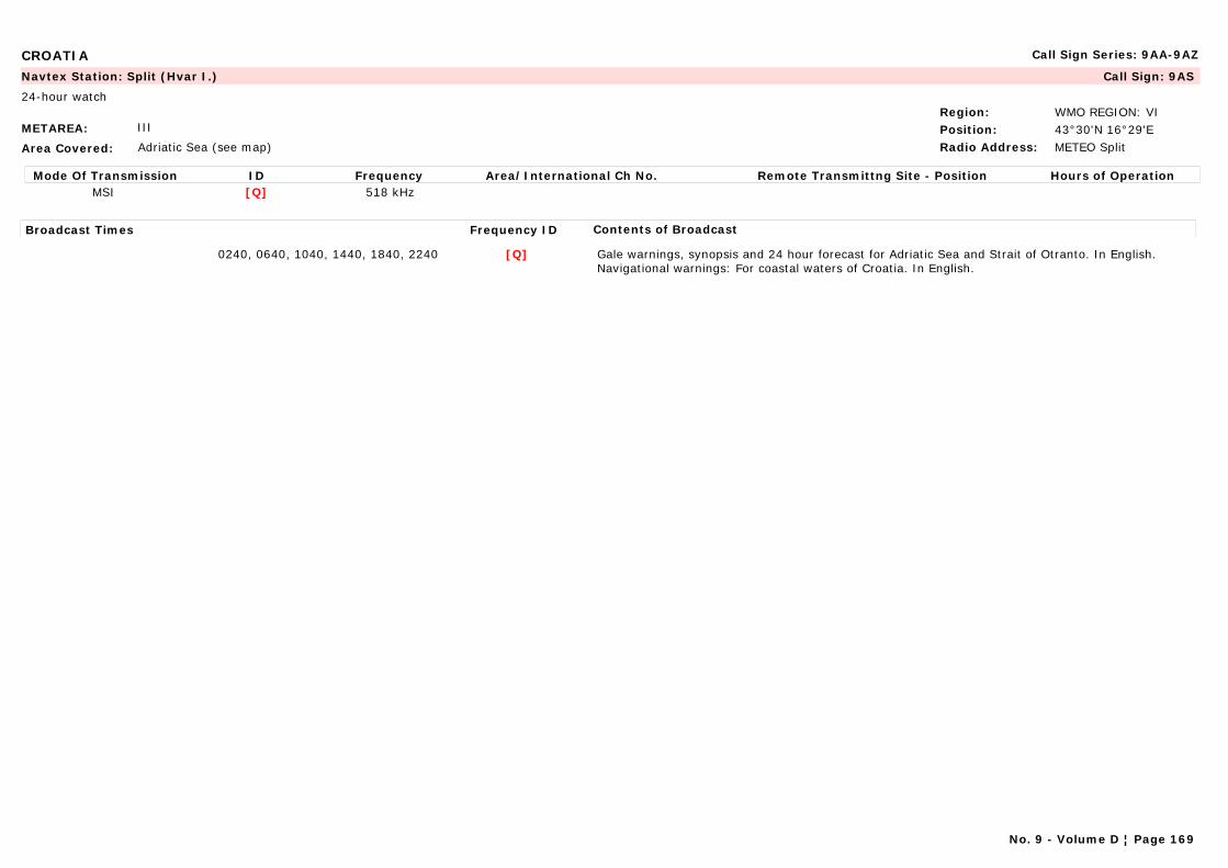
CROATIA Call Sign Series: 9AA-9AZ
METAREA: III
Area Covered: Adriatic Sea (see map)
Region: WMO REGION: VIPosition: 43°30'N 16°29'ERadio Address: METEO Split
Navtex Station: Split (Hvar I.) Call Sign: 9AS
24-hour watch
Mode Of Transmission ID Frequency Area/International Ch No. Remote Transmittng Site - Position Hours of OperationMSI [Q] 518 kHz
Broadcast Times Frequency ID Contents of Broadcast
0240, 0640, 1040, 1440, 1840, 2240 [Q] Gale warnings, synopsis and 24 hour forecast for Adriatic Sea and Strait of Otranto. In English.Navigational warnings: For coastal waters of Croatia. In English.
No. 9 - Volume D ¦ Page 169

CUBA Call Sign Series: CLA-CMZ
METAREA: IV
Area Covered:
Region: WMO REGION: IVPosition: 22°08'N 80°27'WRadio Address:
Maritime Radio Station: Cienfuegos Call Sign:
Mode Of Transmission ID Frequency Area/International Ch No. Remote Transmittng Site - Position Hours of OperationRT (MF) A 2 760 kHz
Broadcast Times Frequency ID Contents of Broadcast
2305 A In Spanish.
Note: Station temp inop (April 2005).
METAREA: IV
Area Covered: Cuba and surrounding waters
Region: WMO REGION: IVPosition: 23°10'N 82°19'WRadio Address:
Maritime Radio Station: Habana Call Sign: CLA, CLT
Mode Of Transmission ID Frequency Area/International Ch No. Remote Transmittng Site - Position Hours of OperationRT (MF) A 2 760 kHz
Broadcast Times Frequency ID Contents of Broadcast
2310 A In Spanish.
0105, 1305 A Hurricane warnings. In Spanish(1).
0403, 2203 A In Spanish.
(1) After prior announcement on 2 182 kHz.
No. 9 - Volume D ¦ Page 170
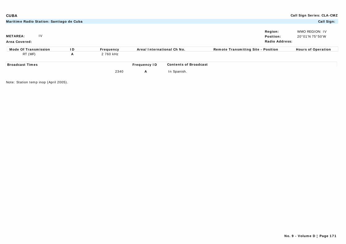
CUBA Call Sign Series: CLA-CMZ
METAREA: IV
Area Covered:
Region: WMO REGION: IVPosition: 20°01'N 75°50'WRadio Address:
Maritime Radio Station: Santiago de Cuba Call Sign:
Mode Of Transmission ID Frequency Area/International Ch No. Remote Transmittng Site - Position Hours of OperationRT (MF) A 2 760 kHz
Broadcast Times Frequency ID Contents of Broadcast
2340 A In Spanish.
Note: Station temp inop (April 2005).
No. 9 - Volume D ¦ Page 171

CURAÇAO AND BONAIRE (NETHERLANDS ANTILLES) Call Sign Series:
METAREA: IV
Area Covered:
Region: WMO REGION: IVPosition: 12°10'N 68°52'WRadio Address:
Navtex Station: Curaçao Call Sign:
Mode Of Transmission ID Frequency Area/International Ch No. Remote Transmittng Site - Position Hours of OperationMSI [H] 518 kHz
Broadcast Times Frequency ID Contents of Broadcast
0110, 0510, 0910, 1310, 1710, 2110 [H] Navigational warnings: Local warnings for Carribbean. In English.
1310 [H] Gale warnings, synopsis, 24 hour and 48 hour wind forecast, visibility and outlook forecast for Caribbean Sea. In English.
Notes:Warnings are given from 15/07-14/11
METAREA: IV
Area Covered: Caribbean Sea, Gulf of Mexico and the Atlantic south of 25°N and west of 45°W
Region: WMO REGION: IVPosition: 12°10'N 68°52'WRadio Address: METEO WASHDC
Marine Rescue Co-ordination Centre: Curaçao Radio (JRCC) Call Sign:
24-hour watch
Mode Of Transmission ID Frequency Area/International Ch No. Remote Transmittng Site - Position Hours of OperationRT (MF) A 2 182 kHz
VHF B Ch16 26 27
Broadcast Times Frequency ID Contents of Broadcast
On request A, B Gale warnings, synopsis 24 hour, and 48 hour wind forecast, visibility and outlook forecast for Caribbean Sea. In English.
Warnings are given from 15/07-14/11
No. 9 - Volume D ¦ Page 172
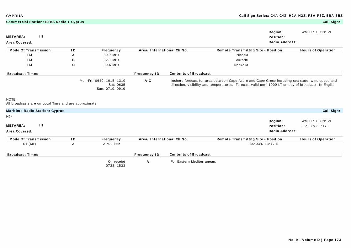
CYPRUS Call Sign Series: C4A-C4Z, H2A-H2Z, P3A-P3Z, 5BA-5BZ
METAREA: III
Area Covered:
Region: WMO REGION: VIPosition:Radio Address:
Commercial Station: BFBS Radio 1 Cyprus Call Sign:
Mode Of Transmission ID Frequency Area/International Ch No. Remote Transmittng Site - Position Hours of OperationFM A 89.7 MHz NicosiaFM B 92.1 MHz AkrotiriFM C 99.6 MHz Dhekelia
Broadcast Times Frequency ID Contents of Broadcast
Mon-Fri: 0640, 1015, 1310Sat: 0635
Sun: 0710, 0910
A-C Inshore forecast for area between Cape Aspro and Cape Greco including sea state, wind speed and direction, visibility and temperatures. Forecast valid until 1900 LT on day of broadcast. In English.
NOTE: All broadcasts are on Local Time and are approximate.
METAREA: III
Area Covered:
Region: WMO REGION: VIPosition: 35°03'N 33°17'ERadio Address:
Maritime Radio Station: Cyprus Call Sign:
H24
Mode Of Transmission ID Frequency Area/International Ch No. Remote Transmittng Site - Position Hours of OperationRT (MF) A 2 700 kHz 35°03'N 33°17'E
Broadcast Times Frequency ID Contents of Broadcast
On receipt0733, 1533
A For Eastern Mediterranean.
No. 9 - Volume D ¦ Page 173

CYPRUS Call Sign Series: C4A-C4Z, H2A-H2Z, P3A-P3Z, 5BA-5BZ
METAREA: III
Area Covered:
Region: WMO REGION: VIPosition: 35°03'N 33°17'ERadio Address:
Navtex Station: Cyprus Call Sign:
Mode Of Transmission ID Frequency Area/International Ch No. Remote Transmittng Site - Position Hours of OperationMSI [M] 518 kHz
Broadcast Times Frequency ID Contents of Broadcast
0200, 0600, 1000, 1400, 1800, 2200 [M] Gale warnings and forecast for Eastern Mediterranean. In English.Navigational warnings: For Eastern Mediterranean. In English.
No. 9 - Volume D ¦ Page 174
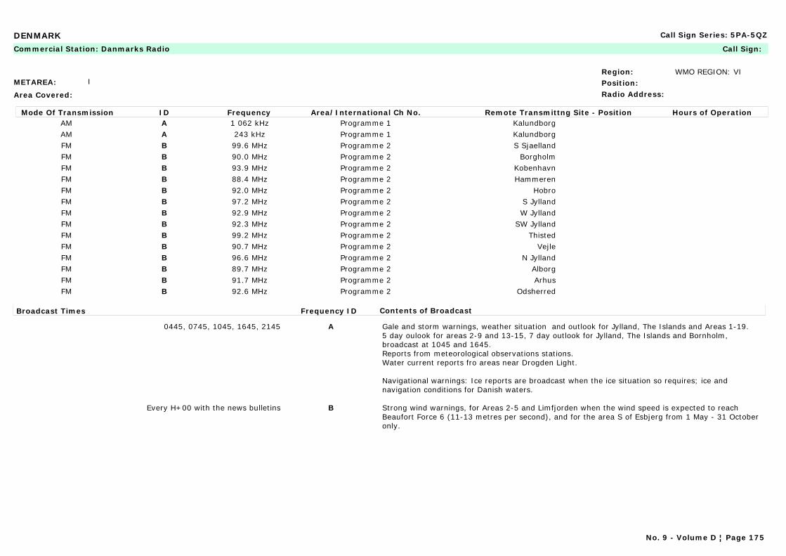
DENMARK Call Sign Series: 5PA-5QZ
METAREA: I
Area Covered:
Region: WMO REGION: VIPosition:Radio Address:
Commercial Station: Danmarks Radio Call Sign:
Mode Of Transmission ID Frequency Area/International Ch No. Remote Transmittng Site - Position Hours of OperationAM A 1 062 kHz Programme 1 KalundborgAM A 243 kHz Programme 1 KalundborgFM B 99.6 MHz Programme 2 S SjaellandFM B 90.0 MHz Programme 2 BorgholmFM B 93.9 MHz Programme 2 KobenhavnFM B 88.4 MHz Programme 2 HammerenFM B 92.0 MHz Programme 2 HobroFM B 97.2 MHz Programme 2 S JyllandFM B 92.9 MHz Programme 2 W JyllandFM B 92.3 MHz Programme 2 SW JyllandFM B 99.2 MHz Programme 2 ThistedFM B 90.7 MHz Programme 2 VejleFM B 96.6 MHz Programme 2 N JyllandFM B 89.7 MHz Programme 2 AlborgFM B 91.7 MHz Programme 2 ArhusFM B 92.6 MHz Programme 2 Odsherred
Broadcast Times Frequency ID Contents of Broadcast
0445, 0745, 1045, 1645, 2145 A Gale and storm warnings, weather situation and outlook for Jylland, The Islands and Areas 1-19.5 day oulook for areas 2-9 and 13-15, 7 day outlook for Jylland, The Islands and Bornholm, broadcast at 1045 and 1645. Reports from meteorological observations stations.Water current reports fro areas near Drogden Light.
Navigational warnings: Ice reports are broadcast when the ice situation so requires; ice and navigation conditions for Danish waters.
Every H+00 with the news bulletins B Strong wind warnings, for Areas 2-5 and Limfjorden when the wind speed is expected to reach Beaufort Force 6 (11-13 metres per second), and for the area S of Esbjerg from 1 May - 31 October only.
No. 9 - Volume D ¦ Page 175

DENMARK Call Sign Series: 5PA-5QZ
METAREA: I
Area Covered: Danish coastal and internal waters
Region: WMO REGION: VIPosition:Radio Address: METEO København
Maritime Radio Station: Lyngby Call Sign: OXZ
24-hour watch
Mode Of Transmission ID Frequency Area/International Ch No. Remote Transmittng Site - Position Hours of OperationRT (MF) A 2 586 kHz Ronne 55°02'N 15°06'ERT (MF) A 1 758 kHz Skagen 57°44'N 10°35'ERT (MF) A 1 734 kHz Blavand 55°33'N 08°07'E
VHF B Ch 07 Als 54°58'N 09°33'EVHF C Ch 07 Anholt 56°42'N 11°35'EVHF D Ch 04 Arsballe 55°09'N 14°53'EVHF E Ch 23 Blavand 55°33'N 08°07'EVHF F Ch 02 Bovbjerg 56°32'N 08°10'EVHF G Ch 05 Fornaes 56°27'N 10°57'EVHF H Ch 03 Frejlev 57°00'N 0950'EVHF I Ch 01 Hanstholm 57°07'N 08°39'EVHF J Ch 66 Hirtshals 57°31'N 09°57'EVHF K Ch 28 Karleby 54°52'N 11°12'EVHF L Ch 03 Kobenhavn 55°41'N 12°37'EVHF M Ch 64 Laeso 57°17'N 11°03'EVHF N Ch 02 Mern (Mon) 55°03'N 11°59'EVHF O Ch 04 Rosnaes 55°44'N 10°55'EVHF P Ch 04 Skagen 57°44'N 10°35'EVHF Q Ch 01 Svendborg 55°02'N 10°37'EVHF R Ch 83 Vejby 56°05'N 12°08'EVHF S Ch 65 Vejle 55°40'N 09°30'E
No. 9 - Volume D ¦ Page 176
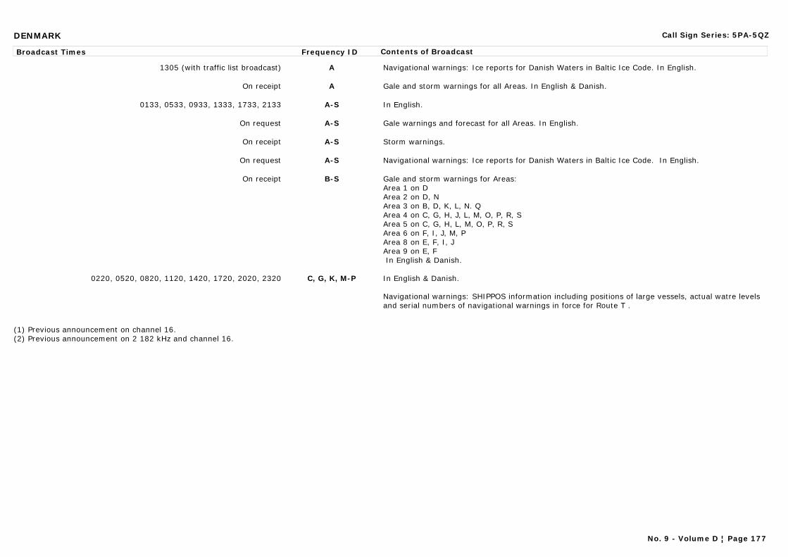
DENMARK Call Sign Series: 5PA-5QZ
Broadcast Times Frequency ID Contents of Broadcast
1305 (with traffic list broadcast) A Navigational warnings: Ice reports for Danish Waters in Baltic Ice Code. In English.
On receipt A Gale and storm warnings for all Areas. In English & Danish.
0133, 0533, 0933, 1333, 1733, 2133 A-S In English.
On request A-S Gale warnings and forecast for all Areas. In English.
On receipt A-S Storm warnings.
On request A-S Navigational warnings: Ice reports for Danish Waters in Baltic Ice Code. In English.
On receipt B-S Gale and storm warnings for Areas:Area 1 on DArea 2 on D, NArea 3 on B, D, K, L, N. QArea 4 on C, G, H, J, L, M, O, P, R, SArea 5 on C, G, H, L, M, O, P, R, SArea 6 on F, I, J, M, PArea 8 on E, F, I, JArea 9 on E, F In English & Danish.
0220, 0520, 0820, 1120, 1420, 1720, 2020, 2320 C, G, K, M-P In English & Danish.
Navigational warnings: SHIPPOS information including positions of large vessels, actual watre levels and serial numbers of navigational warnings in force for Route T .
(1) Previous announcement on channel 16.(2) Previous announcement on 2 182 kHz and channel 16.
No. 9 - Volume D ¦ Page 177
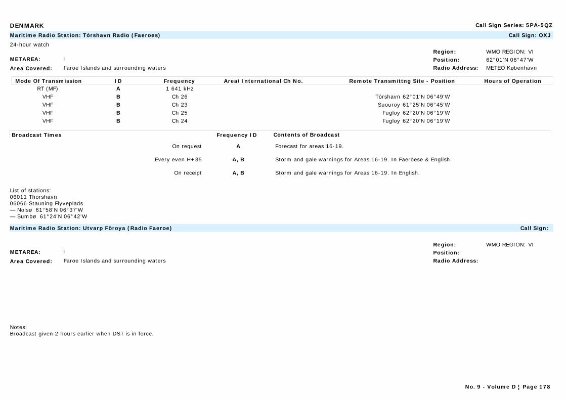
DENMARK Call Sign Series: 5PA-5QZ
METAREA: I
Area Covered: Faroe Islands and surrounding waters
Region: WMO REGION: VIPosition: 62°01'N 06°47'WRadio Address: METEO København
Maritime Radio Station: Tórshavn Radio (Faeroes) Call Sign: OXJ
24-hour watch
Mode Of Transmission ID Frequency Area/International Ch No. Remote Transmittng Site - Position Hours of OperationRT (MF) A 1 641 kHz
VHF B Ch 26 Tórshavn 62°01'N 06°49'WVHF B Ch 23 Suouroy 61°25'N 06°45'WVHF B Ch 25 Fugloy 62°20'N 06°19'WVHF B Ch 24 Fugloy 62°20'N 06°19'W
Broadcast Times Frequency ID Contents of Broadcast
On request A Forecast for areas 16-19.
Every even H+35 A, B Storm and gale warnings for Areas 16-19. In Faeröese & English.
On receipt A, B Storm and gale warnings for Areas 16-19. In English.
List of stations:06011 Thorshavn 06066 Stauning Flyveplads — Nolsø 61°58'N 06°37'W— Sumbø 61°24'N 06°42'W
METAREA: I
Area Covered: Faroe Islands and surrounding waters
Region: WMO REGION: VIPosition:Radio Address:
Maritime Radio Station: Utvarp Föroya (Radio Faeroe) Call Sign:
Notes:Broadcast given 2 hours earlier when DST is in force.
No. 9 - Volume D ¦ Page 178
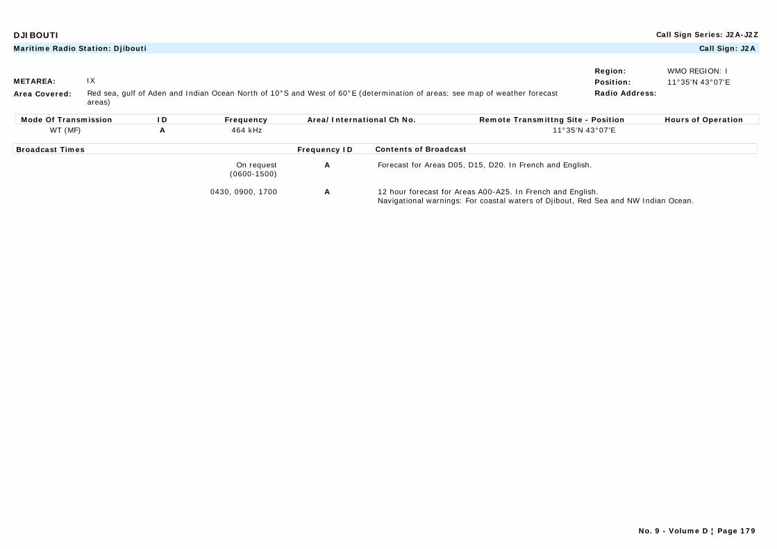
DJIBOUTI Call Sign Series: J2A-J2Z
METAREA: IX
Area Covered: Red sea, gulf of Aden and Indian Ocean North of 10°S and West of 60°E (determination of areas: see map of weather forecast areas)
Region: WMO REGION: IPosition: 11°35'N 43°07'ERadio Address:
Maritime Radio Station: Djibouti Call Sign: J2A
Mode Of Transmission ID Frequency Area/International Ch No. Remote Transmittng Site - Position Hours of OperationWT (MF) A 464 kHz 11°35'N 43°07'E
Broadcast Times Frequency ID Contents of Broadcast
On request(0600-1500)
A Forecast for Areas D05, D15, D20. In French and English.
0430, 0900, 1700 A 12 hour forecast for Areas A00-A25. In French and English.Navigational warnings: For coastal waters of Djibout, Red Sea and NW Indian Ocean.
No. 9 - Volume D ¦ Page 179

DOMINICA Call Sign Series: J7A-J7Z
METAREA: IV
Area Covered:
Region: WMO REGION: IVPosition:Radio Address:
Commercial Station: Dominica Broadcasting Corp. (Radio Dominica) (DBS Radio) Call Sign:
Mode Of Transmission ID Frequency Area/International Ch No. Remote Transmittng Site - Position Hours of OperationAM A 595 kHz HillsboroughFM B 88.1 MHzFM C 88.6 MHzFM D 103.2 MHzFM E 103.6 MHz
Broadcast Times Frequency ID Contents of Broadcast
Mon-Sat: 0720, repeated at 1030 LT A-E Hurricane warnings (if any in force), forecast, synopsis, analysis, for the waters of Dominica. In English.
On receipt A-E Storm warnings broadcast only during the hurricane season, for the coastal waters of Dominica. In English.
A sub-station of the Grenada Station.
No. 9 - Volume D ¦ Page 180
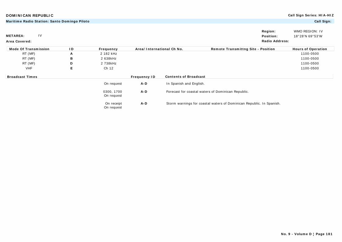
DOMINICAN REPUBLIC Call Sign Series: HIA-HIZ
METAREA: IV
Area Covered:
Region: WMO REGION: IVPosition: 18°28'N 69°53'WRadio Address:
Maritime Radio Station: Santo Domingo Piloto Call Sign:
Mode Of Transmission ID Frequency Area/International Ch No. Remote Transmittng Site - Position Hours of OperationRT (MF) A 2 182 kHz 1100-0500RT (MF) B 2 638kHz 1100-0500RT (MF) D 2 738kHz 1100-0500
VHF E Ch 12 1100-0500
Broadcast Times Frequency ID Contents of Broadcast
On request A-D In Spanish and English.
0300, 1700On request
A-D Forecast for coastal waters of Dominican Republic.
On receiptOn request
A-D Storm warnings for coastal waters of Dominican Republic. In Spanish.
No. 9 - Volume D ¦ Page 181
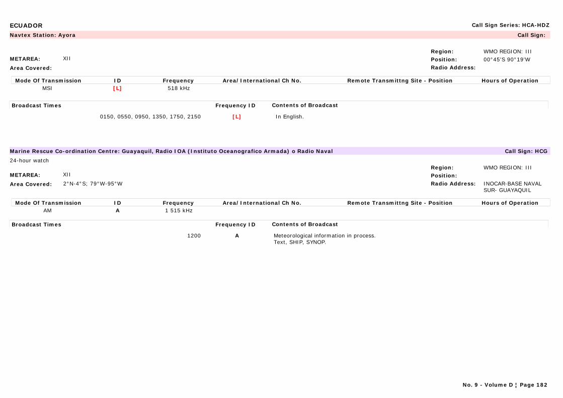
ECUADOR Call Sign Series: HCA-HDZ
METAREA: XII
Area Covered:
Region: WMO REGION: IIIPosition: 00°45'S 90°19'WRadio Address:
Navtex Station: Ayora Call Sign:
Mode Of Transmission ID Frequency Area/International Ch No. Remote Transmittng Site - Position Hours of OperationMSI [L] 518 kHz
Broadcast Times Frequency ID Contents of Broadcast
0150, 0550, 0950, 1350, 1750, 2150 [L] In English.
METAREA: XII
Area Covered: 2°N-4°S; 79°W-95°W
Region: WMO REGION: IIIPosition:Radio Address: INOCAR-BASE NAVAL
SUR- GUAYAQUIL
Marine Rescue Co-ordination Centre: Guayaquil, Radio IOA (Instituto Oceanografico Armada) o Radio Naval Call Sign: HCG
24-hour watch
Mode Of Transmission ID Frequency Area/International Ch No. Remote Transmittng Site - Position Hours of OperationAM A 1 515 kHz
Broadcast Times Frequency ID Contents of Broadcast
1200 A Meteorological information in process.Text, SHIP, SYNOP.
No. 9 - Volume D ¦ Page 182
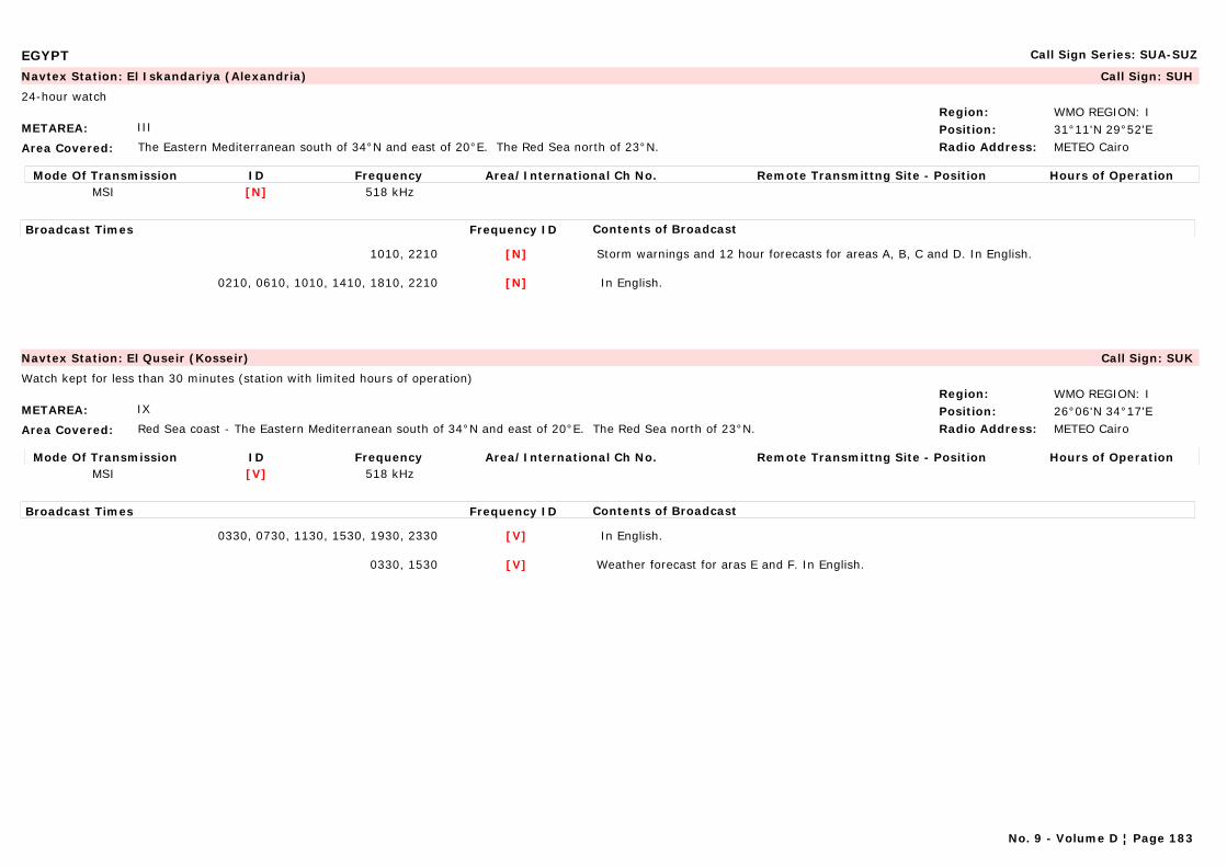
EGYPT Call Sign Series: SUA-SUZ
METAREA: III
Area Covered: The Eastern Mediterranean south of 34°N and east of 20°E. The Red Sea north of 23°N.
Region: WMO REGION: IPosition: 31°11'N 29°52'ERadio Address: METEO Cairo
Navtex Station: El Iskandariya (Alexandria) Call Sign: SUH
24-hour watch
Mode Of Transmission ID Frequency Area/International Ch No. Remote Transmittng Site - Position Hours of OperationMSI [N] 518 kHz
Broadcast Times Frequency ID Contents of Broadcast
1010, 2210 [N] Storm warnings and 12 hour forecasts for areas A, B, C and D. In English.
0210, 0610, 1010, 1410, 1810, 2210 [N] In English.
METAREA: IX
Area Covered: Red Sea coast - The Eastern Mediterranean south of 34°N and east of 20°E. The Red Sea north of 23°N.
Region: WMO REGION: IPosition: 26°06'N 34°17'ERadio Address: METEO Cairo
Navtex Station: El Quseir (Kosseir) Call Sign: SUK
Watch kept for less than 30 minutes (station with limited hours of operation)
Mode Of Transmission ID Frequency Area/International Ch No. Remote Transmittng Site - Position Hours of OperationMSI [V] 518 kHz
Broadcast Times Frequency ID Contents of Broadcast
0330, 0730, 1130, 1530, 1930, 2330 [V] In English.
0330, 1530 [V] Weather forecast for aras E and F. In English.
No. 9 - Volume D ¦ Page 183
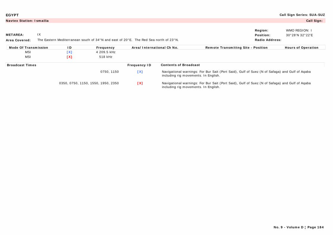
EGYPT Call Sign Series: SUA-SUZ
METAREA: IX
Area Covered: The Eastern Mediterranean south of 34°N and east of 20°E. The Red Sea north of 23°N.
Region: WMO REGION: IPosition: 30°28'N 32°22'ERadio Address:
Navtex Station: Ismailia Call Sign:
Mode Of Transmission ID Frequency Area/International Ch No. Remote Transmittng Site - Position Hours of OperationMSI [X] 4 209.5 kHzMSI [X] 518 kHz
Broadcast Times Frequency ID Contents of Broadcast
0750, 1150 [X] Navigational warnings: For Bur Sait (Port Said), Gulf of Suez (N of Safaga) and Gulf of Aqaba including rig movements. In English.
0350, 0750, 1150, 1550, 1950, 2350 [X] Navigational warnings: For Bur Sait (Port Said), Gulf of Suez (N of Safaga) and Gulf of Aqaba including rig movements. In English.
No. 9 - Volume D ¦ Page 184
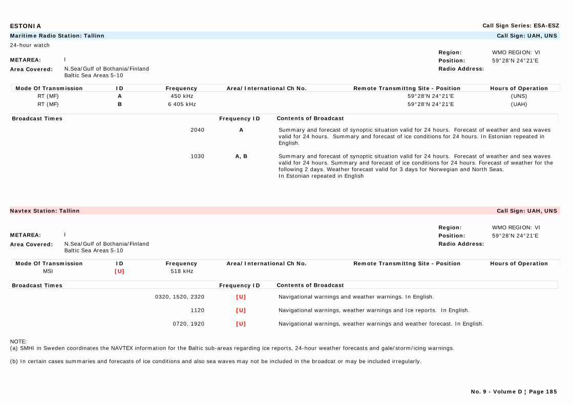
ESTONIA Call Sign Series: ESA-ESZ
METAREA: I
Area Covered: N.Sea/Gulf of Bothania/FinlandBaltic Sea Areas 5-10
Region: WMO REGION: VIPosition: 59°28'N 24°21'ERadio Address:
Maritime Radio Station: Tallinn Call Sign: UAH, UNS
24-hour watch
Mode Of Transmission ID Frequency Area/International Ch No. Remote Transmittng Site - Position Hours of OperationRT (MF) A 450 kHz 59°28'N 24°21'E (UNS)RT (MF) B 6 405 kHz 59°28'N 24°21'E (UAH)
Broadcast Times Frequency ID Contents of Broadcast
2040 A Summary and forecast of synoptic situation valid for 24 hours. Forecast of weather and sea waves valid for 24 hours. Summary and forecast of ice conditions for 24 hours. In Estonian repeated in English.
1030 A, B Summary and forecast of synoptic situation valid for 24 hours. Forecast of weather and sea waves valid for 24 hours. Summary and forecast of ice conditions for 24 hours. Forecast of weather for the following 2 days. Weather forecast valid for 3 days for Norwegian and North Seas.In Estonian repeated in English
METAREA: I
Area Covered: N.Sea/Gulf of Bothania/FinlandBaltic Sea Areas 5-10
Region: WMO REGION: VIPosition: 59°28'N 24°21'ERadio Address:
Navtex Station: Tallinn Call Sign: UAH, UNS
Mode Of Transmission ID Frequency Area/International Ch No. Remote Transmittng Site - Position Hours of OperationMSI [U] 518 kHz
Broadcast Times Frequency ID Contents of Broadcast
0320, 1520, 2320 [U] Navigational warnings and weather warnings. In English.
1120 [U] Navigational warnings, weather warnings and Ice reports. In English.
0720, 1920 [U] Navigational warnings, weather warnings and weather forecast. In English.
NOTE: (a) SMHI in Sweden coordinates the NAVTEX information for the Baltic sub-areas regarding ice reports, 24-hour weather forecasts and gale/storm/icing warnings.
(b) In certain cases summaries and forecasts of ice conditions and also sea waves may not be included in the broadcat or may be included irregularly.
No. 9 - Volume D ¦ Page 185
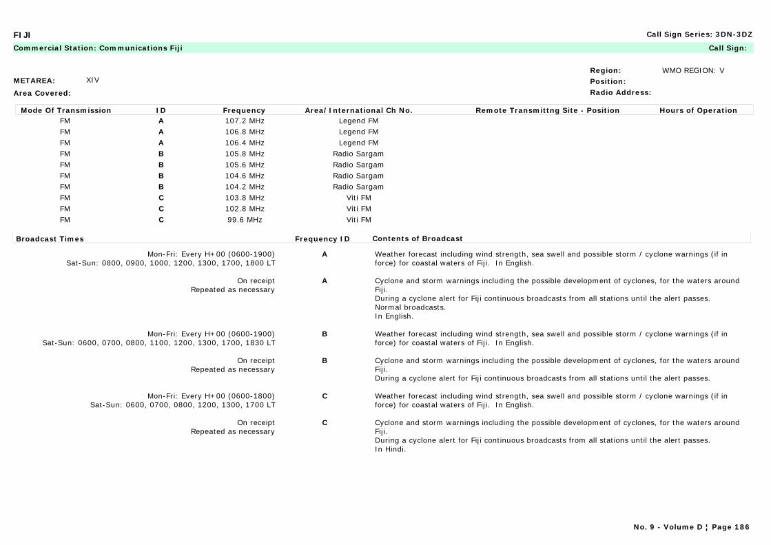
FIJI Call Sign Series: 3DN-3DZ
METAREA: XIV
Area Covered:
Region: WMO REGION: VPosition:Radio Address:
Commercial Station: Communications Fiji Call Sign:
Mode Of Transmission ID Frequency Area/International Ch No. Remote Transmittng Site - Position Hours of OperationFM A 107.2 MHz Legend FMFM A 106.8 MHz Legend FMFM A 106.4 MHz Legend FMFM B 105.8 MHz Radio SargamFM B 105.6 MHz Radio SargamFM B 104.6 MHz Radio SargamFM B 104.2 MHz Radio SargamFM C 103.8 MHz Viti FMFM C 102.8 MHz Viti FMFM C 99.6 MHz Viti FM
Broadcast Times Frequency ID Contents of Broadcast
Mon-Fri: Every H+00 (0600-1900)Sat-Sun: 0800, 0900, 1000, 1200, 1300, 1700, 1800 LT
A Weather forecast including wind strength, sea swell and possible storm / cyclone warnings (if in force) for coastal waters of Fiji. In English.
On receiptRepeated as necessary
A Cyclone and storm warnings including the possible development of cyclones, for the waters around Fiji.During a cyclone alert for Fiji continuous broadcasts from all stations until the alert passes.Normal broadcasts. In English.
Mon-Fri: Every H+00 (0600-1900)Sat-Sun: 0600, 0700, 0800, 1100, 1200, 1300, 1700, 1830 LT
B Weather forecast including wind strength, sea swell and possible storm / cyclone warnings (if in force) for coastal waters of Fiji. In English.
On receiptRepeated as necessary
B Cyclone and storm warnings including the possible development of cyclones, for the waters around Fiji.During a cyclone alert for Fiji continuous broadcasts from all stations until the alert passes.
Mon-Fri: Every H+00 (0600-1800)Sat-Sun: 0600, 0700, 0800, 1200, 1300, 1700 LT
C Weather forecast including wind strength, sea swell and possible storm / cyclone warnings (if in force) for coastal waters of Fiji. In English.
On receiptRepeated as necessary
C Cyclone and storm warnings including the possible development of cyclones, for the waters around Fiji.During a cyclone alert for Fiji continuous broadcasts from all stations until the alert passes.In Hindi.
No. 9 - Volume D ¦ Page 186
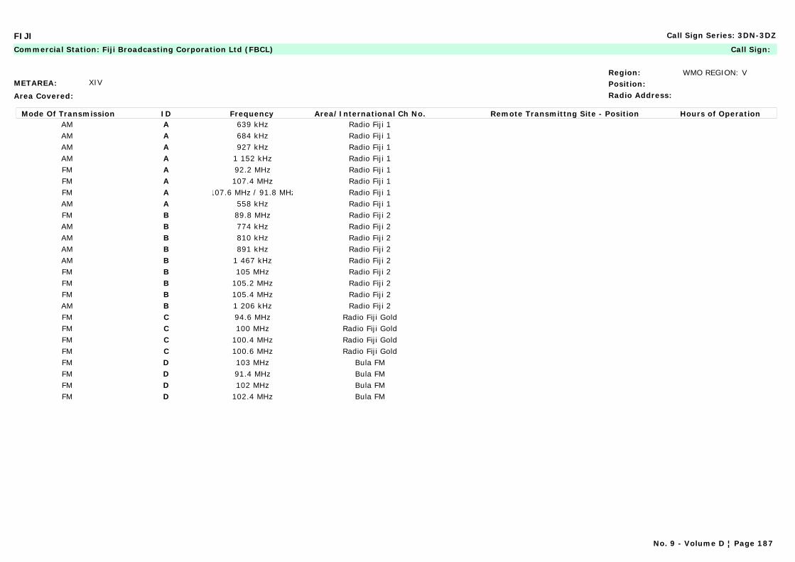
FIJI Call Sign Series: 3DN-3DZ
METAREA: XIV
Area Covered:
Region: WMO REGION: VPosition:Radio Address:
Commercial Station: Fiji Broadcasting Corporation Ltd (FBCL) Call Sign:
Mode Of Transmission ID Frequency Area/International Ch No. Remote Transmittng Site - Position Hours of OperationAM A 639 kHz Radio Fiji 1AM A 684 kHz Radio Fiji 1AM A 927 kHz Radio Fiji 1AM A 1 152 kHz Radio Fiji 1FM A 92.2 MHz Radio Fiji 1FM A 107.4 MHz Radio Fiji 1FM A 107.6 MHz / 91.8 MHz Radio Fiji 1AM A 558 kHz Radio Fiji 1FM B 89.8 MHz Radio Fiji 2AM B 774 kHz Radio Fiji 2AM B 810 kHz Radio Fiji 2AM B 891 kHz Radio Fiji 2AM B 1 467 kHz Radio Fiji 2FM B 105 MHz Radio Fiji 2FM B 105.2 MHz Radio Fiji 2FM B 105.4 MHz Radio Fiji 2AM B 1 206 kHz Radio Fiji 2FM C 94.6 MHz Radio Fiji GoldFM C 100 MHz Radio Fiji GoldFM C 100.4 MHz Radio Fiji GoldFM C 100.6 MHz Radio Fiji GoldFM D 103 MHz Bula FMFM D 91.4 MHz Bula FMFM D 102 MHz Bula FMFM D 102.4 MHz Bula FM
No. 9 - Volume D ¦ Page 187
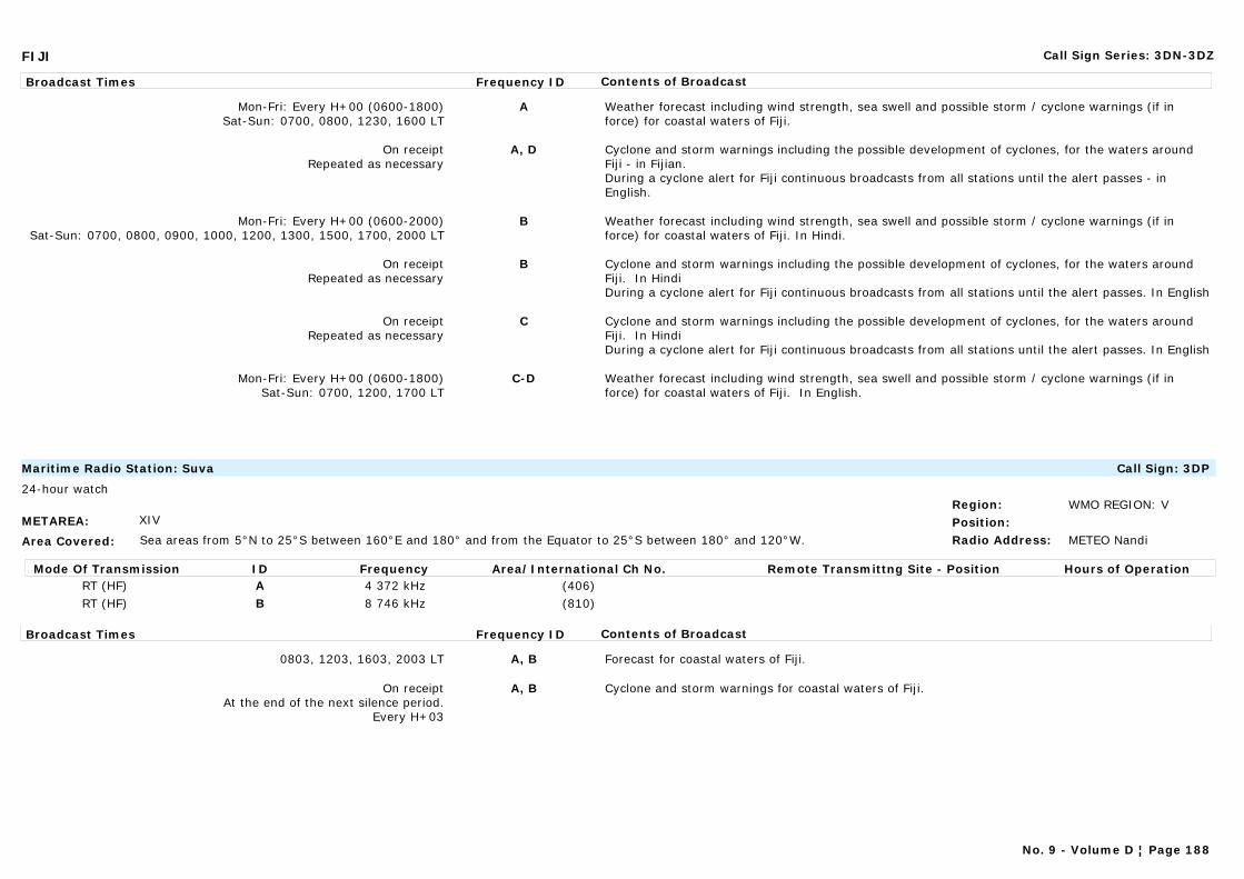
FIJI Call Sign Series: 3DN-3DZ
Broadcast Times Frequency ID Contents of Broadcast
Mon-Fri: Every H+00 (0600-1800)Sat-Sun: 0700, 0800, 1230, 1600 LT
A Weather forecast including wind strength, sea swell and possible storm / cyclone warnings (if in force) for coastal waters of Fiji.
On receiptRepeated as necessary
A, D Cyclone and storm warnings including the possible development of cyclones, for the waters around Fiji - in Fijian.During a cyclone alert for Fiji continuous broadcasts from all stations until the alert passes - in English.
Mon-Fri: Every H+00 (0600-2000)Sat-Sun: 0700, 0800, 0900, 1000, 1200, 1300, 1500, 1700, 2000 LT
B Weather forecast including wind strength, sea swell and possible storm / cyclone warnings (if in force) for coastal waters of Fiji. In Hindi.
On receiptRepeated as necessary
B Cyclone and storm warnings including the possible development of cyclones, for the waters around Fiji. In HindiDuring a cyclone alert for Fiji continuous broadcasts from all stations until the alert passes. In English
On receiptRepeated as necessary
C Cyclone and storm warnings including the possible development of cyclones, for the waters around Fiji. In HindiDuring a cyclone alert for Fiji continuous broadcasts from all stations until the alert passes. In English
Mon-Fri: Every H+00 (0600-1800)Sat-Sun: 0700, 1200, 1700 LT
C-D Weather forecast including wind strength, sea swell and possible storm / cyclone warnings (if in force) for coastal waters of Fiji. In English.
METAREA: XIV
Area Covered: Sea areas from 5°N to 25°S between 160°E and 180° and from the Equator to 25°S between 180° and 120°W.
Region: WMO REGION: VPosition:Radio Address: METEO Nandi
Maritime Radio Station: Suva Call Sign: 3DP
24-hour watch
Mode Of Transmission ID Frequency Area/International Ch No. Remote Transmittng Site - Position Hours of OperationRT (HF) A 4 372 kHz (406)RT (HF) B 8 746 kHz (810)
Broadcast Times Frequency ID Contents of Broadcast
0803, 1203, 1603, 2003 LT A, B Forecast for coastal waters of Fiji.
On receiptAt the end of the next silence period.
Every H+03
A, B Cyclone and storm warnings for coastal waters of Fiji.
No. 9 - Volume D ¦ Page 188
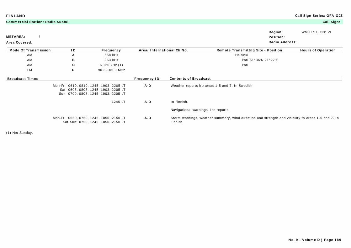
FINLAND Call Sign Series: OFA-OJZ
METAREA: I
Area Covered:
Region: WMO REGION: VIPosition:Radio Address:
Commercial Station: Radio Suomi Call Sign:
Mode Of Transmission ID Frequency Area/International Ch No. Remote Transmittng Site - Position Hours of OperationAM A 558 kHz HelsinkiAM B 963 kHz Pori 61°36'N 21°27'EAM C 6 120 kHz (1) PoriFM D 90.3-105.0 MHz
Broadcast Times Frequency ID Contents of Broadcast
Mon-Fri: 0610, 0810, 1245, 1903, 2205 LTSat: 0603, 0803, 1245, 1903, 2205 LTSun: 0700, 0803, 1245, 1903, 2205 LT
A-D Weather reports fro areas 1-5 and 7. In Swedish.
1245 LT A-D In Finnish.
Navigational warnings: Ice reports.
Mon-Fri: 0550, 0750, 1245, 1850, 2150 LTSat-Sun: 0750, 1245, 1850, 2150 LT
A-D Storm warnings, weather summary, wind direction and strength and visibility fo Areas 1-5 and 7. In Finnish.
(1) Not Sunday.
No. 9 - Volume D ¦ Page 189
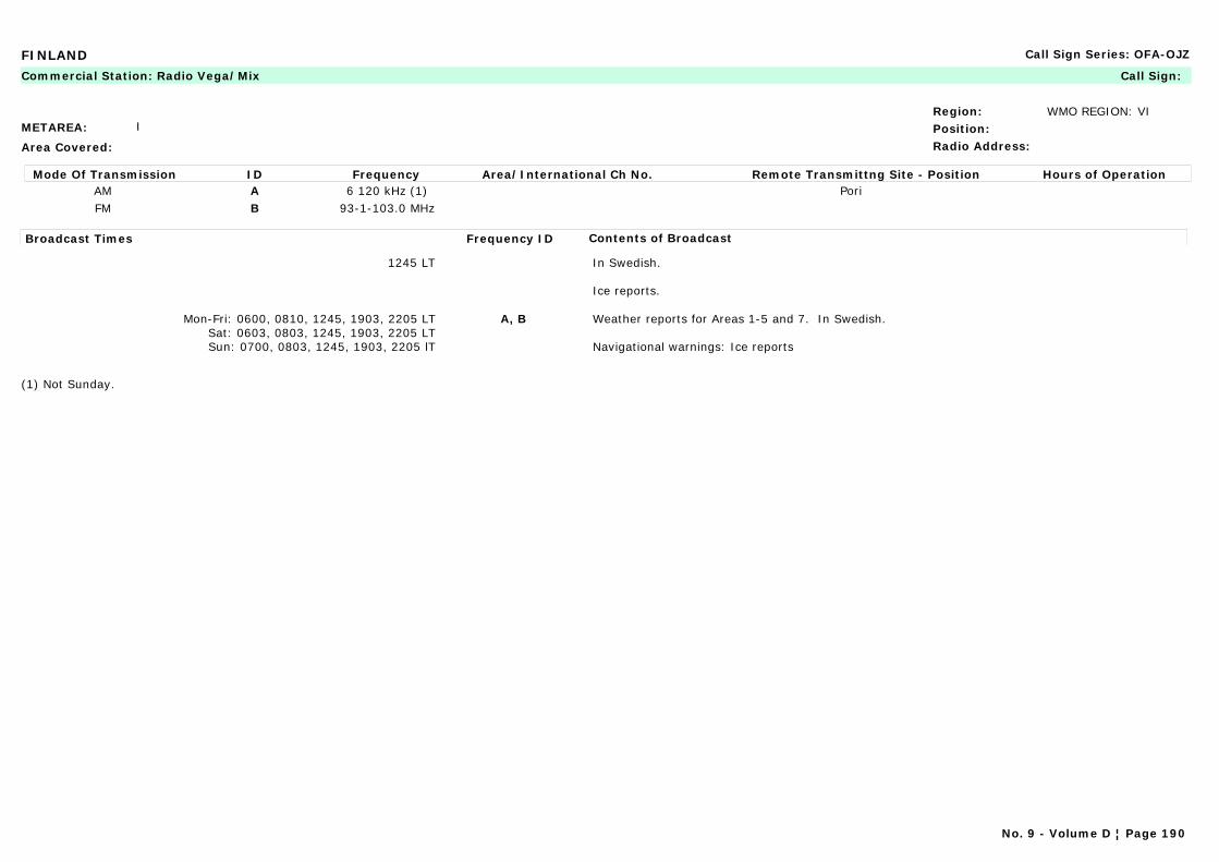
FINLAND Call Sign Series: OFA-OJZ
METAREA: I
Area Covered:
Region: WMO REGION: VIPosition:Radio Address:
Commercial Station: Radio Vega/Mix Call Sign:
Mode Of Transmission ID Frequency Area/International Ch No. Remote Transmittng Site - Position Hours of OperationAM A 6 120 kHz (1) PoriFM B 93-1-103.0 MHz
Broadcast Times Frequency ID Contents of Broadcast
1245 LT In Swedish.
Ice reports.
Mon-Fri: 0600, 0810, 1245, 1903, 2205 LTSat: 0603, 0803, 1245, 1903, 2205 LTSun: 0700, 0803, 1245, 1903, 2205 lT
A, B Weather reports for Areas 1-5 and 7. In Swedish.
Navigational warnings: Ice reports
(1) Not Sunday.
No. 9 - Volume D ¦ Page 190

FINLAND Call Sign Series: OFA-OJZ
METAREA: I
Area Covered:
Region: WMO REGION: VIPosition:Radio Address: METEO Helsinki
Marine Rescue Co-ordination Centre: Turku (MRCC) Call Sign: OFK
24-hour watch
Mode Of Transmission ID Frequency Area/International Ch No. Remote Transmittng Site - Position Hours of OperationRT (MF) A 2 810 kHz Helsinki 60°09'N 25°02'ERT (MF) A 1 677 kHz Mariehamn 60°07'N 19°57'ERT (MF) A 1 638 kHz Vaasa 63°18'N 21°06'ERT (MF) A 1 719 kHz Hailuoto 65°02'N 24°35'E
VHF B Ch 26 Kemi 65°47'N 24°33'EVHF B Ch 86 Brando 60°25'N 21°03'EVHF B Ch 27 Hailuoto 65°02'N 24°35'EVHF B Ch 03 Hanko 59°50'N 22°56'EVHF B Ch 84 Kalajoki 64°18'N 24°11'EVHF B Ch 68 Turku 60°09'N 21°42'EVHF B Ch 28 Kokkola 63°50'N 23°09'EVHF B Ch 23 Korppoo 60°10'N 21°33'EVHF B Ch 25 Kotka 60°29'N 26°52'EVHF B Ch 04 Porkkala 59°59'N 24°26'EVHF B Ch 01 Sondby (Porvoo) 60°16'N 25°51'EVHF B Ch 02 26 Turku 60°27'N 22°20'EVHF B Ch 05 Helsinki 60°09'N 25°02'E
Broadcast Times Frequency ID Contents of Broadcast
1033, 1833 A,B Navigational warnings: Ice reports and icebreaker positions.In English.
0803 A,B Navigational warnings: Ice breakers positions.In English.
0233, 0633, 1033, 1433, 1833, 2233 A,B In English, Swedish and Finnish.Navigational warnings: Coastal warnings in English. Local warnings in Swedish and Finnish.
0633, 1833 A,B Forecast for Areas 1-5 and 7 including wave heights in the Northern Baltic. In English.
On receipt0233, 0633, 1033, 1433, 1833, 2233
A,B Gale warnings for Areas 1-5 and 7. In English.
No. 9 - Volume D ¦ Page 191
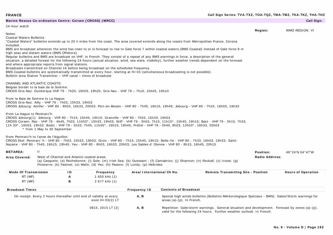
FRANCE Call Sign Series: TVA-TXZ, TOA-TQZ, TMA-TMZ, TKA-TKZ, THA-THZ
METAREA: II
Area Covered: West of Channel and Atlantic coastal areas:(a) Casquets; (e) Rochebonne; (i) Sole; (m) Irish Sea; (b) Ouessant ; (f) Cantabrico; (j) Shannon; (n) Rockall; (c) Iroise; (g) Finisterre; (k) Fastnet; (o) Malin; (d) Yeu; (h) Pazenn; (l) Lundy; (p) Hebrides
Region: WMO REGION: VI
Position: 48°24'N 04°47'WRadio Address:
Marine Rescue Co-ordination Centre: Corsen (CROSS) (MRCC) Call Sign:
24-hour watch
Notes:Coastal Waters Bulletins"Coastal Waters" bulletins extends up to 20 n miles from the coast. The area covered extends along the coasts from Metropolitan France, Corsica included.BMS are broadcast whenever the wind has risen to or is forecast to rise to Gale force 7 within coastal waters (BMS Coastal) instead of Gale force 8 in high seas and distant waters (BMS Offshore).Regular bulletins and BMS are broadcast on VHF, in French. They consist of a repeat of any BMS warnings in force, a description of the general situation, a detailed foreast for the following 24 hours (actual situation, wind, sea state, visibility), further weather trends dependent on the forecast and where appropriate reports from signal stations.Broadcasts transmitted on Channel 16 before being broadcast on the scheduled frequency.BMS Coastal bulletins are systematically transmitted at every hour, starting at H+03 (simultaneous broadcasting is not possible).Bulletin area Station Transmitter – VHF canal – times of broadcast
CHANNEL AND ATLANTIC COASTS:Belgian border to la baie de la Somme:CROSS Gris-Nez: Dunkerque VHF 79 - 7h20, 16h03, 19h20; Gris-Nez - VHF 79 – 7h10, 15h45, 19h10
From la Baie de Somme to La Hague:CROSS Gris-Nez: Ailly - VHF 79 - 7h03, 15h33, 19h03CROSS Jobourg: Antifer - VHF 80 - 8h03, 16h33, 20h03; Port-en-Bessin - VHF 80 - 7h45, 16h15, 19h45; Jobourg - VHF 80 - 7h33, 16h03, 19h33
From La Hague to Penmarc’h:CROSS Jobourg(1): Jobourg - VHF 80 - 7h15, 15h45, 19h15; Granville - VHF 80 - 7h03, 15h33, 19h03CROSS Corsen: Raz - VHF 79 - 4h45, 7h03, 11h03*, 15h33, 19h03; Stiff - VHF 79 - 5h03, 7h15, 11h15*, 15h45, 19h15; Batz - VHF 79 - 5h15, 7h33, 11h 33*, 16h03, 19h33; Bodic - VHF 79 - 5h33, 7h45, 11h45*, 16h15, 19h45; Fréhel - VHF 79 - 5h45, 8h03, 12h03*, 16h33, 20h03 * from 1 May to 30 September
From Penmarc’h to l’anse de l’Aiguillon:CROSS Etel: Penmarc´h - VHF 80 - 7h03, 15h33, 19h03; Groix - VHF 80 - 7h15, 15h45, 19h15; Belle-Ile - VHF 80 - 7h33, 16h03, 19h33; Saint-Nazaire - VHF 80 - 7h45, 16h15, 19h45; Yeu - VHF 80 - 8h03, 16h33, 20h03; Les Sables d´Olonne - VHF 80 - 8h15, 16h45, 20h15
Mode Of Transmission ID Frequency Area/International Ch No. Remote Transmittng Site - Position Hours of OperationRT (MF) A 1 650 kHz (1)RT (MF) B 2 677 kHz (1)
Broadcast Times Frequency ID Contents of Broadcast
On receipt. Every 2 hours thereafter until end of validity at every even H+03(2) LT
A, B Special high winds bulletins (Bulletins Météorologique Spéciaux - BMS): Gales/Storm warnings for areas (a)-(p). In French.
0815, 2015 LT (2) A, B Repetition: Gale/storm warnings. General situation and development. Forecast by zones (a)-(p), valid for the following 24 hours. Further weather outlook. In French.
No. 9 - Volume D ¦ Page 192
FRANCE Call Sign Series: TVA-TXZ, TOA-TQZ, TMA-TMZ, TKA-TKZ, THA-THZ
Notes:CROSS = Centres Régionaux Operationnels de Surveillance et du Sauvetage
(1) After preliminary call on 2 182 kHz. The normal working frequency can be replaced, if necessary, by an alternative frequency indicated during the preliminary call on 2 182 kHz.(2) Scheduled broadcasts may be suspended whilst SAR action is in progress.
No. 9 - Volume D ¦ Page 193

FRANCE Call Sign Series: TVA-TXZ, TOA-TQZ, TMA-TMZ, TKA-TKZ, THA-THZ
METAREA: II
Area Covered: West of Channel and Atlantic coastal areas:(a) Casquets; (e) Rochebonne; (i) Sole; (m) Irish Sea; (b) Ouessant ; (f) Cantabrico; (j) Shannon; (n) Rockall; (c) Iroise; (g) Finisterre; (k) Fastnet; (o) Malin; (d) Yeu; (h) Pazenn; (l) Lundy; (p) Hebrides
Region: WMO REGION: VI
Position: 48°24'N 04°47'WRadio Address:
Navtex Station: Corsen (CROSS) (MRCC) Call Sign:
Notes:Coastal Waters Bulletins"Coastal Waters" bulletins extends up to 20 n miles from the coast. The area covered extends along the coasts from Metropolitan France, Corsica included.BMS are broadcast whenever the wind has risen to or is forecast to rise to Gale force 7 within coastal waters (BMS Coastal) instead of Gale force 8 in high seas and distant waters (BMS Offshore).Regular bulletins and BMS are broadcast on VHF, in French. They consist of a repeat of any BMS warnings in force, a description of the general situation, a detailed foreast for the following 24 hours (actual situation, wind, sea state, visibility), further weather trends dependent on the forecast and where appropriate reports from signal stations.Broadcasts transmitted on Channel 16 before being broadcast on the scheduled frequency.BMS Coastal bulletins are systematically transmitted at every hour, starting at H+03 (simultaneous broadcasting is not possible).Bulletin area Station Transmitter – VHF canal – times of broadcast
CHANNEL AND ATLANTIC COASTS:Belgian border to la baie de la Somme:CROSS Gris-Nez: Dunkerque VHF 79 - 7h20, 16h03, 19h20; Gris-Nez - VHF 79 – 7h10, 15h45, 19h10
From la Baie de Somme to La Hague:CROSS Gris-Nez: Ailly - VHF 79 - 7h03, 15h33, 19h03CROSS Jobourg: Antifer - VHF 80 - 8h03, 16h33, 20h03; Port-en-Bessin - VHF 80 - 7h45, 16h15, 19h45; Jobourg - VHF 80 - 7h33, 16h03, 19h33
From La Hague to Penmarc’h:CROSS Jobourg(1): Jobourg - VHF 80 - 7h15, 15h45, 19h15; Granville - VHF 80 - 7h03, 15h33, 19h03CROSS Corsen: Raz - VHF 79 - 4h45, 7h03, 11h03*, 15h33, 19h03; Stiff - VHF 79 - 5h03, 7h15, 11h15*, 15h45, 19h15; Batz - VHF 79 - 5h15, 7h33, 11h 33*, 16h03, 19h33; Bodic - VHF 79 - 5h33, 7h45, 11h45*, 16h15, 19h45; Fréhel - VHF 79 - 5h45, 8h03, 12h03*, 16h33, 20h03 * from 1 May to 30 September
From Penmarc’h to l’anse de l’Aiguillon:CROSS Etel: Penmarc´h - VHF 80 - 7h03, 15h33, 19h03; Groix - VHF 80 - 7h15, 15h45, 19h15; Belle-Ile - VHF 80 - 7h33, 16h03, 19h33; Saint-Nazaire - VHF 80 - 7h45, 16h15, 19h45; Yeu - VHF 80 - 8h03, 16h33, 20h03; Les Sables d´Olonne - VHF 80 - 8h15, 16h45, 20h15
Mode Of Transmission ID Frequency Area/International Ch No. Remote Transmittng Site - Position Hours of OperationMSI [E] 490 kHzMSI [A] 518 kHz
No. 9 - Volume D ¦ Page 194
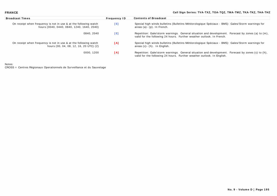
FRANCE Call Sign Series: TVA-TXZ, TOA-TQZ, TMA-TMZ, TKA-TKZ, THA-THZ
Broadcast Times Frequency ID Contents of Broadcast
On receipt when frequency is not in use & at the following watch hours (0040, 0440, 0840, 1240, 1640, 2040)
[E] Special high winds bulletins (Bulletins Météorologique Spéciaux - BMS): Gales/Storm warnings for areas (a)- (p). In French.
0840, 2040 [E] Repetition: Gale/storm warnings. General situation and development. Forecast by zones (a) to (m), valid for the following 24 hours. Further weather outlook. In French.
On receipt when frequency is not in use & at the following watch hours (00, 04, 08, 12, 16, 20 UTC) (2)
[A] Special high winds bulletins (Bulletins Météorologique Spéciaux - BMS): Gales/Storm warnings for areas (c)- (h). In English.
0000, 1200 [A] Repetition: Gale/storm warnings. General situation and development. Forecast by zones (c) to (h), valid for the following 24 hours. Further weather outlook. In English.
Notes:CROSS = Centres Régionaux Operationnels de Surveillance et du Sauvetage
No. 9 - Volume D ¦ Page 195
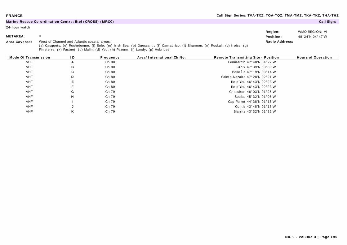
FRANCE Call Sign Series: TVA-TXZ, TOA-TQZ, TMA-TMZ, TKA-TKZ, THA-THZ
METAREA: II
Area Covered: West of Channel and Atlantic coastal areas:(a) Casquets; (e) Rochebonne; (i) Sole; (m) Irish Sea; (b) Ouessant ; (f) Cantabrico; (j) Shannon; (n) Rockall; (c) Iroise; (g) Finisterre; (k) Fastnet; (o) Malin; (d) Yeu; (h) Pazenn; (l) Lundy; (p) Hebrides
Region: WMO REGION: VIPosition: 48°24'N 04°47'WRadio Address:
Marine Rescue Co-ordination Centre: Étel (CROSS) (MRCC) Call Sign:
24-hour watch
Mode Of Transmission ID Frequency Area/International Ch No. Remote Transmittng Site - Position Hours of OperationVHF A Ch 80 Penmarc'h 47°48'N 04°22'WVHF B Ch 80 Groix 47°39'N 03°30'WVHF C Ch 80 Belle Île 47°19'N 03°14'WVHF D Ch 80 Sainte-Nazaire 47°28'N 02°21'WVHF E Ch 80 Ile d'Yeu 46°43'N 02°23'WVHF F Ch 80 Ile d'Yeu 46°43'N 02°23'WVHF G Ch 79 Chassiron 46°03'N 01°25'WVHF H Ch 79 Soulac 45°32'N 01°06'WVHF I Ch 79 Cap Ferret 44°38'N 01°15'WVHF J Ch 79 Contis 43°48'N 01°18'WVHF K Ch 79 Biarritz 43°32'N 01°32'W
No. 9 - Volume D ¦ Page 196
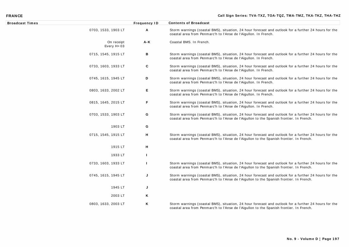
FRANCE Call Sign Series: TVA-TXZ, TOA-TQZ, TMA-TMZ, TKA-TKZ, THA-THZ
Broadcast Times Frequency ID Contents of Broadcast
0703, 1533, 1903 LT A Storm warnings (coastal BMS), situation, 24 hour forecast and outlook for a further 24 hours for the coastal area from Penmarc'h to l'Anse de l'Aigullon. In French.
On receiptEvery H+03
A-K Coastal BMS. In French.
0715, 1545, 1915 LT B Storm warnings (coastal BMS), situation, 24 hour forecast and outlook for a further 24 hours for the coastal area from Penmarc'h to l'Anse de l'Aigullon. In French.
0733, 1603, 1933 LT C Storm warnings (coastal BMS), situation, 24 hour forecast and outlook for a further 24 hours for the coastal area from Penmarc'h to l'Anse de l'Aigullon. In French.
0745, 1615, 1945 LT D Storm warnings (coastal BMS), situation, 24 hour forecast and outlook for a further 24 hours for the coastal area from Penmarc'h to l'Anse de l'Aigullon. In French.
0803, 1633, 2002 LT E Storm warnings (coastal BMS), situation, 24 hour forecast and outlook for a further 24 hours for the coastal area from Penmarc'h to l'Anse de l'Aigullon. In French.
0815, 1645, 2015 LT F Storm warnings (coastal BMS), situation, 24 hour forecast and outlook for a further 24 hours for the coastal area from Penmarc'h to l'Anse de l'Aigullon. In French.
0703, 1533, 1903 LT G Storm warnings (coastal BMS), situation, 24 hour forecast and outlook for a further 24 hours for the coastal area from Penmarc'h to l'Anse de l'Aigullon to the Spanish frontier. In French.
1903 LT G
0715, 1545, 1915 LT H Storm warnings (coastal BMS), situation, 24 hour forecast and outlook for a further 24 hours for the coastal area from Penmarc'h to l'Anse de l'Aigullon to the Spanish frontier. In French.
1915 LT H
1933 LT I
0733, 1603, 1933 LT I Storm warnings (coastal BMS), situation, 24 hour forecast and outlook for a further 24 hours for the coastal area from Penmarc'h to l'Anse de l'Aigullon to the Spanish frontier. In French.
0745, 1615, 1945 LT J Storm warnings (coastal BMS), situation, 24 hour forecast and outlook for a further 24 hours for the coastal area from Penmarc'h to l'Anse de l'Aigullon to the Spanish frontier. In French.
1945 LT J
2003 LT K
0803, 1633, 2003 LT K Storm warnings (coastal BMS), situation, 24 hour forecast and outlook for a further 24 hours for the coastal area from Penmarc'h to l'Anse de l'Aigullon to the Spanish frontier. In French.
No. 9 - Volume D ¦ Page 197
FRANCE Call Sign Series: TVA-TXZ, TOA-TQZ, TMA-TMZ, TKA-TKZ, THA-THZ
NOTES:CROSS = Centres Régionaux Operationnels de Surveillance et du Sauvetage
(1) After preliminary call on 2 182 kHz. The normal working frequency can be replaced, if necessary, by an alternative frequency indicated during the preliminary call on 2 182 kHz.(2) Scheduled broadcasts may be suspended whilst SAR action is in progress.
No. 9 - Volume D ¦ Page 198
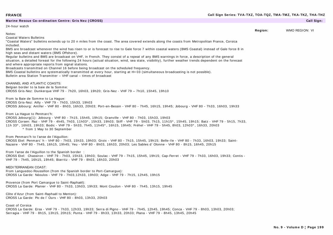
FRANCE Call Sign Series: TVA-TXZ, TOA-TQZ, TMA-TMZ, TKA-TKZ, THA-THZ
Region: WMO REGION: VI
Marine Rescue Co-ordination Centre: Gris Nez (CROSS) Call Sign:
24-hour watch
Notes:Coastal Waters Bulletins"Coastal Waters" bulletins extends up to 20 n miles from the coast. The area covered extends along the coasts from Metropolitan France, Corsica included.BMS are broadcast whenever the wind has risen to or is forecast to rise to Gale force 7 within coastal waters (BMS Coastal) instead of Gale force 8 in high seas and distant waters (BMS Offshore).Regular bulletins and BMS are broadcast on VHF, in French. They consist of a repeat of any BMS warnings in force, a description of the general situation, a detailed foreast for the following 24 hours (actual situation, wind, sea state, visibility), further weather trends dependent on the forecast and where appropriate reports from signal stations.Broadcasts transmitted on Channel 16 before being broadcast on the scheduled frequency.BMS Coastal bulletins are systematically transmitted at every hour, starting at H+03 (simultaneous broadcasting is not possible).Bulletin area Station Transmitter – VHF canal – times of broadcast
CHANNEL AND ATLANTIC COASTS:Belgian border to la baie de la Somme:CROSS Gris-Nez: Dunkerque VHF 79 - 7h20, 16h03, 19h20; Gris-Nez - VHF 79 – 7h10, 15h45, 19h10
From la Baie de Somme to La Hague:CROSS Gris-Nez: Ailly - VHF 79 - 7h03, 15h33, 19h03CROSS Jobourg: Antifer - VHF 80 - 8h03, 16h33, 20h03; Port-en-Bessin - VHF 80 - 7h45, 16h15, 19h45; Jobourg - VHF 80 - 7h33, 16h03, 19h33
From La Hague to Penmarc’h:CROSS Jobourg(1): Jobourg - VHF 80 - 7h15, 15h45, 19h15; Granville - VHF 80 - 7h03, 15h33, 19h03CROSS Corsen: Raz - VHF 79 - 4h45, 7h03, 11h03*, 15h33, 19h03; Stiff - VHF 79 - 5h03, 7h15, 11h15*, 15h45, 19h15; Batz - VHF 79 - 5h15, 7h33, 11h 33*, 16h03, 19h33; Bodic - VHF 79 - 5h33, 7h45, 11h45*, 16h15, 19h45; Fréhel - VHF 79 - 5h45, 8h03, 12h03*, 16h33, 20h03 * from 1 May to 30 September
From Penmarc’h to l’anse de l’Aiguillon:CROSS Etel: Penmarc´h - VHF 80 - 7h03, 15h33, 19h03; Groix - VHF 80 - 7h15, 15h45, 19h15; Belle-Ile - VHF 80 - 7h33, 16h03, 19h33; Saint-Nazaire - VHF 80 - 7h45, 16h15, 19h45; Yeu - VHF 80 - 8h03, 16h33, 20h03; Les Sables d´Olonne - VHF 80 - 8h15, 16h45, 20h15
From l’anse de l’Aiguillon to the Spanish border :CROSS Etel: Chassiron - VHF 79 - 7h03, 15h33, 19h03; Soulac - VHF 79 - 7h15, 15h45, 19h15; Cap-Ferret - VHF 79 - 7h33, 16h03, 19h33; Contis - VHF 79 - 7h45, 16h15, 19h45; Biarritz - VHF 79 - 8h03, 16h33, 20h03
MEDITERRANEAN COAST:From Languedoc-Roussillon (from the Spanish border to Port-Camargue):CROSS La Garde: Néoulos - VHF 79 - 7h03,12h33, 19h03; Adge - VHF 79 - 7h15, 12h45, 19h15
Provence (from Port Camargue to Saint-Raphaël):CROSS La Garde: Planier - VHF 80 - 7h33, 13h03, 19h33; Mont Coudon - VHF 80 - 7h45, 13h15, 19h45
Côte d’Azur (from Saint-Raphaël to Menton):CROSS La Garde: Pic de l´Ours - VHF 80 - 8h03, 13h33, 20h03
Coast of Corsica CROSS La Garde: Ersa - VHF 79 - 7h33, 12h33, 19h33; Serra di Pigno - VHF 79 - 7h45, 12h45, 19h45; Conca - VHF 79 - 8h03, 13h03, 20h03; Serragia - VHF 79 - 8h15, 13h15, 20h15; Punta - VHF 79 - 8h33, 13h33, 20h33; Piana - VHF 79 - 8h45, 13h45, 20h45
No. 9 - Volume D ¦ Page 199
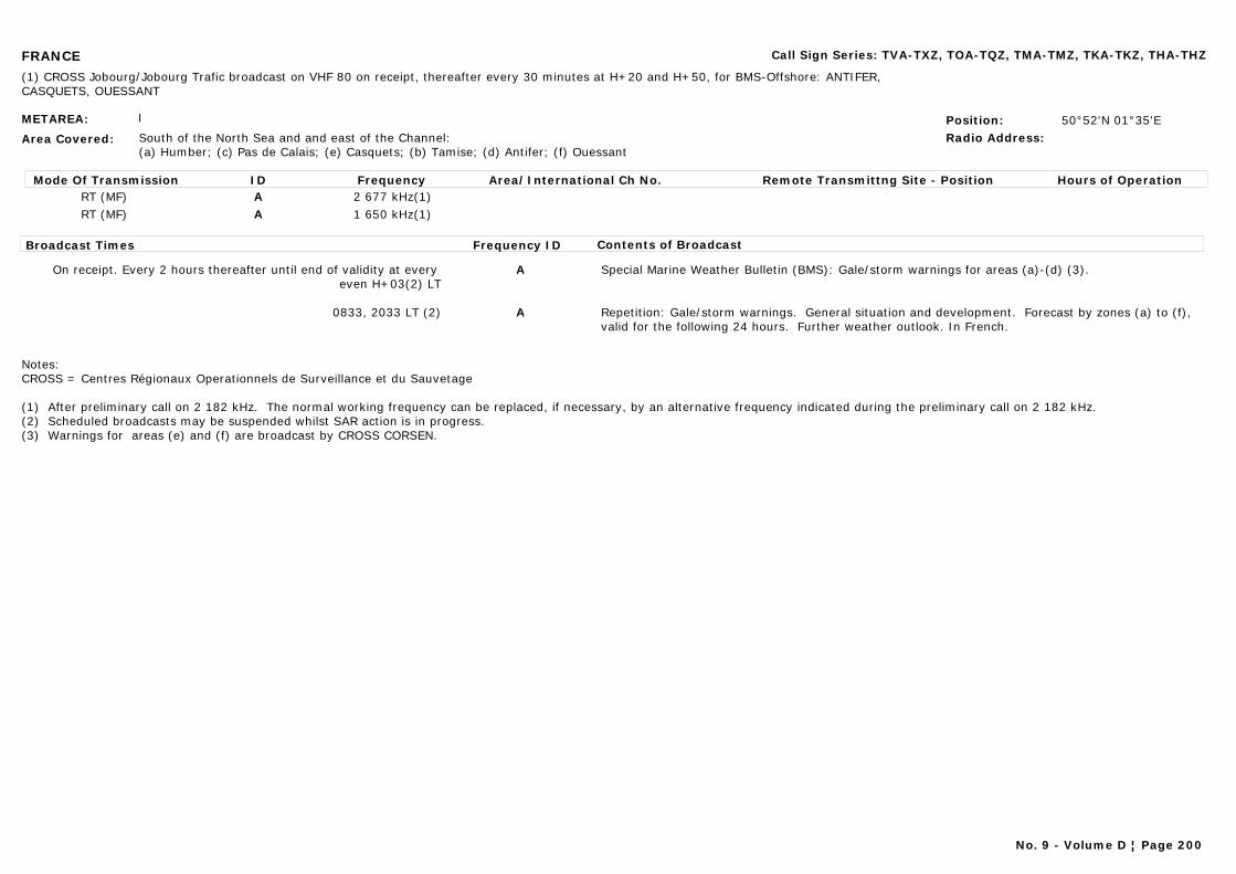
FRANCE Call Sign Series: TVA-TXZ, TOA-TQZ, TMA-TMZ, TKA-TKZ, THA-THZ
METAREA: I
Area Covered: South of the North Sea and and east of the Channel:(a) Humber; (c) Pas de Calais; (e) Casquets; (b) Tamise; (d) Antifer; (f) Ouessant
Position: 50°52'N 01°35'ERadio Address:
(1) CROSS Jobourg/Jobourg Trafic broadcast on VHF 80 on receipt, thereafter every 30 minutes at H+20 and H+50, for BMS-Offshore: ANTIFER, CASQUETS, OUESSANT
Mode Of Transmission ID Frequency Area/International Ch No. Remote Transmittng Site - Position Hours of OperationRT (MF) A 2 677 kHz(1)RT (MF) A 1 650 kHz(1)
Broadcast Times Frequency ID Contents of Broadcast
On receipt. Every 2 hours thereafter until end of validity at every even H+03(2) LT
A Special Marine Weather Bulletin (BMS): Gale/storm warnings for areas (a)-(d) (3).
0833, 2033 LT (2) A Repetition: Gale/storm warnings. General situation and development. Forecast by zones (a) to (f), valid for the following 24 hours. Further weather outlook. In French.
Notes:CROSS = Centres Régionaux Operationnels de Surveillance et du Sauvetage
(1) After preliminary call on 2 182 kHz. The normal working frequency can be replaced, if necessary, by an alternative frequency indicated during the preliminary call on 2 182 kHz.(2) Scheduled broadcasts may be suspended whilst SAR action is in progress.(3) Warnings for areas (e) and (f) are broadcast by CROSS CORSEN.
No. 9 - Volume D ¦ Page 200
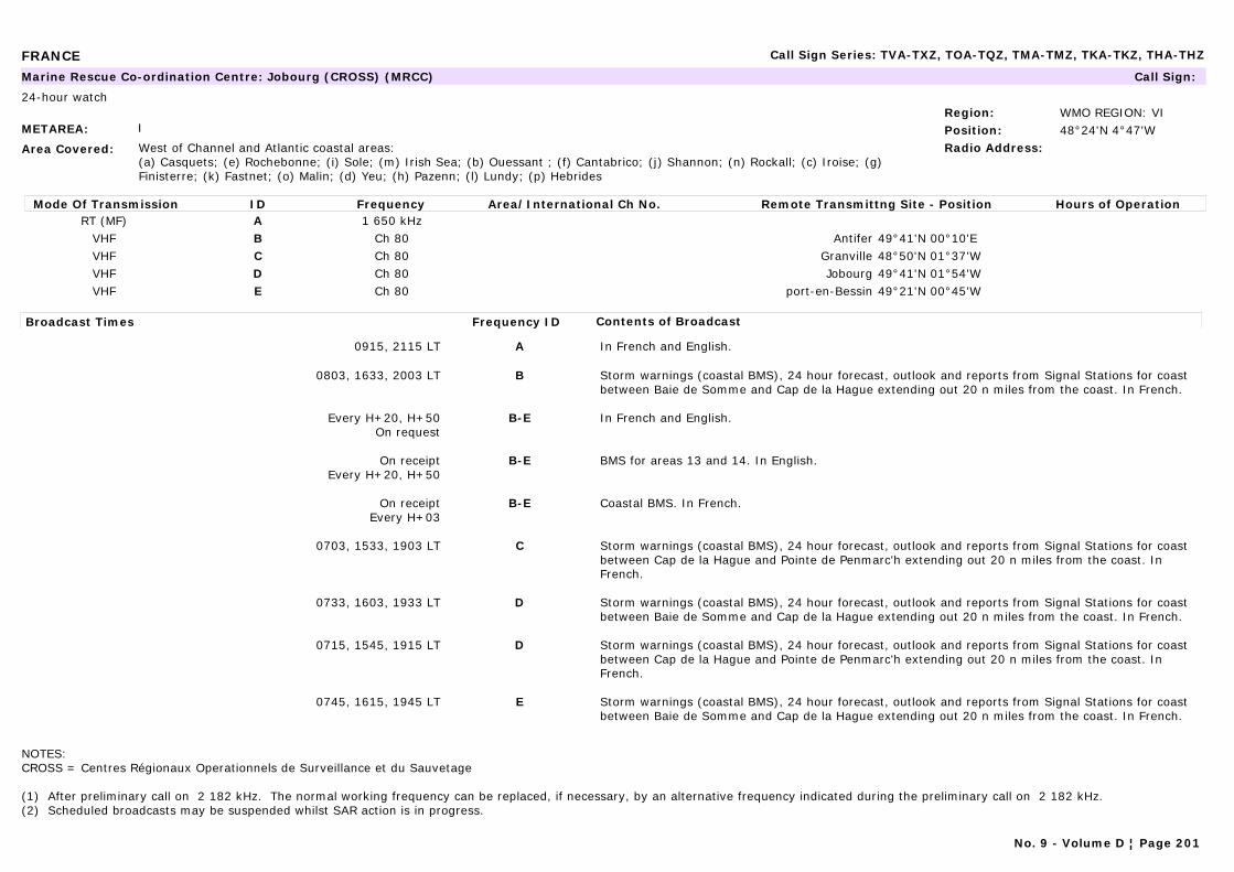
FRANCE Call Sign Series: TVA-TXZ, TOA-TQZ, TMA-TMZ, TKA-TKZ, THA-THZ
METAREA: I
Area Covered: West of Channel and Atlantic coastal areas:(a) Casquets; (e) Rochebonne; (i) Sole; (m) Irish Sea; (b) Ouessant ; (f) Cantabrico; (j) Shannon; (n) Rockall; (c) Iroise; (g) Finisterre; (k) Fastnet; (o) Malin; (d) Yeu; (h) Pazenn; (l) Lundy; (p) Hebrides
Region: WMO REGION: VIPosition: 48°24'N 4°47'WRadio Address:
Marine Rescue Co-ordination Centre: Jobourg (CROSS) (MRCC) Call Sign:
24-hour watch
Mode Of Transmission ID Frequency Area/International Ch No. Remote Transmittng Site - Position Hours of OperationRT (MF) A 1 650 kHz
VHF B Ch 80 Antifer 49°41'N 00°10'EVHF C Ch 80 Granville 48°50'N 01°37'WVHF D Ch 80 Jobourg 49°41'N 01°54'WVHF E Ch 80 port-en-Bessin 49°21'N 00°45'W
Broadcast Times Frequency ID Contents of Broadcast
0915, 2115 LT A In French and English.
0803, 1633, 2003 LT B Storm warnings (coastal BMS), 24 hour forecast, outlook and reports from Signal Stations for coast between Baie de Somme and Cap de la Hague extending out 20 n miles from the coast. In French.
Every H+20, H+50On request
B-E In French and English.
On receiptEvery H+20, H+50
B-E BMS for areas 13 and 14. In English.
On receiptEvery H+03
B-E Coastal BMS. In French.
0703, 1533, 1903 LT C Storm warnings (coastal BMS), 24 hour forecast, outlook and reports from Signal Stations for coast between Cap de la Hague and Pointe de Penmarc'h extending out 20 n miles from the coast. In French.
0733, 1603, 1933 LT D Storm warnings (coastal BMS), 24 hour forecast, outlook and reports from Signal Stations for coast between Baie de Somme and Cap de la Hague extending out 20 n miles from the coast. In French.
0715, 1545, 1915 LT D Storm warnings (coastal BMS), 24 hour forecast, outlook and reports from Signal Stations for coast between Cap de la Hague and Pointe de Penmarc'h extending out 20 n miles from the coast. In French.
0745, 1615, 1945 LT E Storm warnings (coastal BMS), 24 hour forecast, outlook and reports from Signal Stations for coast between Baie de Somme and Cap de la Hague extending out 20 n miles from the coast. In French.
NOTES:CROSS = Centres Régionaux Operationnels de Surveillance et du Sauvetage
(1) After preliminary call on 2 182 kHz. The normal working frequency can be replaced, if necessary, by an alternative frequency indicated during the preliminary call on 2 182 kHz.(2) Scheduled broadcasts may be suspended whilst SAR action is in progress.
No. 9 - Volume D ¦ Page 201
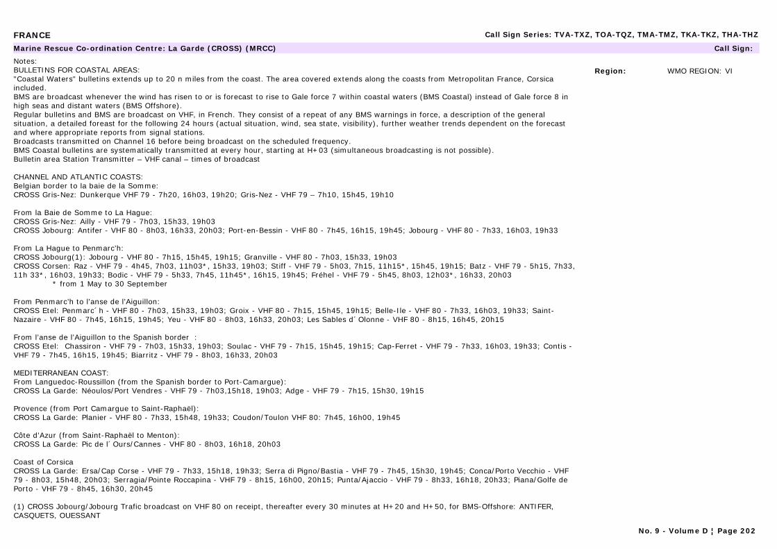
FRANCE Call Sign Series: TVA-TXZ, TOA-TQZ, TMA-TMZ, TKA-TKZ, THA-THZ
Region: WMO REGION: VI
Marine Rescue Co-ordination Centre: La Garde (CROSS) (MRCC) Call Sign:
Notes:BULLETINS FOR COASTAL AREAS:"Coastal Waters" bulletins extends up to 20 n miles from the coast. The area covered extends along the coasts from Metropolitan France, Corsica included.BMS are broadcast whenever the wind has risen to or is forecast to rise to Gale force 7 within coastal waters (BMS Coastal) instead of Gale force 8 in high seas and distant waters (BMS Offshore).Regular bulletins and BMS are broadcast on VHF, in French. They consist of a repeat of any BMS warnings in force, a description of the general situation, a detailed foreast for the following 24 hours (actual situation, wind, sea state, visibility), further weather trends dependent on the forecast and where appropriate reports from signal stations.Broadcasts transmitted on Channel 16 before being broadcast on the scheduled frequency.BMS Coastal bulletins are systematically transmitted at every hour, starting at H+03 (simultaneous broadcasting is not possible).Bulletin area Station Transmitter – VHF canal – times of broadcast
CHANNEL AND ATLANTIC COASTS:Belgian border to la baie de la Somme:CROSS Gris-Nez: Dunkerque VHF 79 - 7h20, 16h03, 19h20; Gris-Nez - VHF 79 – 7h10, 15h45, 19h10
From la Baie de Somme to La Hague:CROSS Gris-Nez: Ailly - VHF 79 - 7h03, 15h33, 19h03CROSS Jobourg: Antifer - VHF 80 - 8h03, 16h33, 20h03; Port-en-Bessin - VHF 80 - 7h45, 16h15, 19h45; Jobourg - VHF 80 - 7h33, 16h03, 19h33
From La Hague to Penmarc’h:CROSS Jobourg(1): Jobourg - VHF 80 - 7h15, 15h45, 19h15; Granville - VHF 80 - 7h03, 15h33, 19h03CROSS Corsen: Raz - VHF 79 - 4h45, 7h03, 11h03*, 15h33, 19h03; Stiff - VHF 79 - 5h03, 7h15, 11h15*, 15h45, 19h15; Batz - VHF 79 - 5h15, 7h33, 11h 33*, 16h03, 19h33; Bodic - VHF 79 - 5h33, 7h45, 11h45*, 16h15, 19h45; Fréhel - VHF 79 - 5h45, 8h03, 12h03*, 16h33, 20h03 * from 1 May to 30 September
From Penmarc’h to l’anse de l’Aiguillon:CROSS Etel: Penmarc´h - VHF 80 - 7h03, 15h33, 19h03; Groix - VHF 80 - 7h15, 15h45, 19h15; Belle-Ile - VHF 80 - 7h33, 16h03, 19h33; Saint-Nazaire - VHF 80 - 7h45, 16h15, 19h45; Yeu - VHF 80 - 8h03, 16h33, 20h03; Les Sables d´Olonne - VHF 80 - 8h15, 16h45, 20h15
From l’anse de l’Aiguillon to the Spanish border :CROSS Etel: Chassiron - VHF 79 - 7h03, 15h33, 19h03; Soulac - VHF 79 - 7h15, 15h45, 19h15; Cap-Ferret - VHF 79 - 7h33, 16h03, 19h33; Contis - VHF 79 - 7h45, 16h15, 19h45; Biarritz - VHF 79 - 8h03, 16h33, 20h03
MEDITERRANEAN COAST:From Languedoc-Roussillon (from the Spanish border to Port-Camargue):CROSS La Garde: Néoulos/Port Vendres - VHF 79 - 7h03,15h18, 19h03; Adge - VHF 79 - 7h15, 15h30, 19h15
Provence (from Port Camargue to Saint-Raphaël):CROSS La Garde: Planier - VHF 80 - 7h33, 15h48, 19h33; Coudon/Toulon VHF 80: 7h45, 16h00, 19h45
Côte d’Azur (from Saint-Raphaël to Menton):CROSS La Garde: Pic de l´Ours/Cannes - VHF 80 - 8h03, 16h18, 20h03
Coast of Corsica CROSS La Garde: Ersa/Cap Corse - VHF 79 - 7h33, 15h18, 19h33; Serra di Pigno/Bastia - VHF 79 - 7h45, 15h30, 19h45; Conca/Porto Vecchio - VHF 79 - 8h03, 15h48, 20h03; Serragia/Pointe Roccapina - VHF 79 - 8h15, 16h00, 20h15; Punta/Ajaccio - VHF 79 - 8h33, 16h18, 20h33; Piana/Golfe de Porto - VHF 79 - 8h45, 16h30, 20h45
(1) CROSS Jobourg/Jobourg Trafic broadcast on VHF 80 on receipt, thereafter every 30 minutes at H+20 and H+50, for BMS-Offshore: ANTIFER, CASQUETS, OUESSANT
No. 9 - Volume D ¦ Page 202
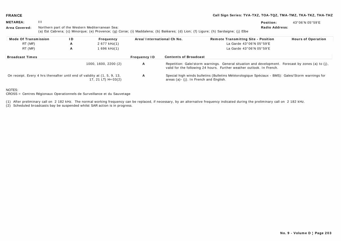
FRANCE Call Sign Series: TVA-TXZ, TOA-TQZ, TMA-TMZ, TKA-TKZ, THA-THZ
METAREA: III
Area Covered: Northern part of the Western Mediterranean Sea:(a) Est Cabrera; (c) Minorque; (e) Provence; (g) Corse; (i) Maddalena; (b) Baléares; (d) Lion; (f) Ligure; (h) Sardaigne; (j) Elbe
Position: 43°06'N 05°59'ERadio Address:
Mode Of Transmission ID Frequency Area/International Ch No. Remote Transmittng Site - Position Hours of OperationRT (MF) A 2 677 kHz(1) La Garde 43°06'N 05°59'ERT (MF) A 1 696 kHz(1) La Garde 43°06'N 05°59'E
Broadcast Times Frequency ID Contents of Broadcast
1000, 1600, 2200 (2) A Repetition: Gale/storm warnings. General situation and development. Forecast by zones (a) to (j), valid for the following 24 hours. Further weather outlook. In French.
On receipt. Every 4 hrs thereafter until end of validity at (1, 5, 9, 13, 17, 21 LT) H+03(2)
A Special high winds bulletins (Bulletins Météorologique Spéciaux - BMS): Gales/Storm warnings for areas (a)- (j). In French and English.
NOTES:CROSS = Centres Régionaux Operationnels de Surveillance et du Sauvetage
(1) After preliminary call on 2 182 kHz. The normal working frequency can be replaced, if necessary, by an alternative frequency indicated during the preliminary call on 2 182 kHz.(2) Scheduled broadcasts bay be suspended whilst SAR action is in progress.
No. 9 - Volume D ¦ Page 203
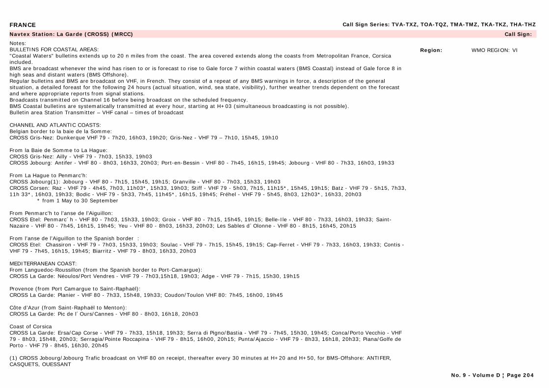
FRANCE Call Sign Series: TVA-TXZ, TOA-TQZ, TMA-TMZ, TKA-TKZ, THA-THZ
Region: WMO REGION: VI
Navtex Station: La Garde (CROSS) (MRCC) Call Sign:
Notes:BULLETINS FOR COASTAL AREAS:"Coastal Waters" bulletins extends up to 20 n miles from the coast. The area covered extends along the coasts from Metropolitan France, Corsica included.BMS are broadcast whenever the wind has risen to or is forecast to rise to Gale force 7 within coastal waters (BMS Coastal) instead of Gale force 8 in high seas and distant waters (BMS Offshore).Regular bulletins and BMS are broadcast on VHF, in French. They consist of a repeat of any BMS warnings in force, a description of the general situation, a detailed foreast for the following 24 hours (actual situation, wind, sea state, visibility), further weather trends dependent on the forecast and where appropriate reports from signal stations.Broadcasts transmitted on Channel 16 before being broadcast on the scheduled frequency.BMS Coastal bulletins are systematically transmitted at every hour, starting at H+03 (simultaneous broadcasting is not possible).Bulletin area Station Transmitter – VHF canal – times of broadcast
CHANNEL AND ATLANTIC COASTS:Belgian border to la baie de la Somme:CROSS Gris-Nez: Dunkerque VHF 79 - 7h20, 16h03, 19h20; Gris-Nez - VHF 79 – 7h10, 15h45, 19h10
From la Baie de Somme to La Hague:CROSS Gris-Nez: Ailly - VHF 79 - 7h03, 15h33, 19h03CROSS Jobourg: Antifer - VHF 80 - 8h03, 16h33, 20h03; Port-en-Bessin - VHF 80 - 7h45, 16h15, 19h45; Jobourg - VHF 80 - 7h33, 16h03, 19h33
From La Hague to Penmarc’h:CROSS Jobourg(1): Jobourg - VHF 80 - 7h15, 15h45, 19h15; Granville - VHF 80 - 7h03, 15h33, 19h03CROSS Corsen: Raz - VHF 79 - 4h45, 7h03, 11h03*, 15h33, 19h03; Stiff - VHF 79 - 5h03, 7h15, 11h15*, 15h45, 19h15; Batz - VHF 79 - 5h15, 7h33, 11h 33*, 16h03, 19h33; Bodic - VHF 79 - 5h33, 7h45, 11h45*, 16h15, 19h45; Fréhel - VHF 79 - 5h45, 8h03, 12h03*, 16h33, 20h03 * from 1 May to 30 September
From Penmarc’h to l’anse de l’Aiguillon:CROSS Etel: Penmarc´h - VHF 80 - 7h03, 15h33, 19h03; Groix - VHF 80 - 7h15, 15h45, 19h15; Belle-Ile - VHF 80 - 7h33, 16h03, 19h33; Saint-Nazaire - VHF 80 - 7h45, 16h15, 19h45; Yeu - VHF 80 - 8h03, 16h33, 20h03; Les Sables d´Olonne - VHF 80 - 8h15, 16h45, 20h15
From l’anse de l’Aiguillon to the Spanish border :CROSS Etel: Chassiron - VHF 79 - 7h03, 15h33, 19h03; Soulac - VHF 79 - 7h15, 15h45, 19h15; Cap-Ferret - VHF 79 - 7h33, 16h03, 19h33; Contis - VHF 79 - 7h45, 16h15, 19h45; Biarritz - VHF 79 - 8h03, 16h33, 20h03
MEDITERRANEAN COAST:From Languedoc-Roussillon (from the Spanish border to Port-Camargue):CROSS La Garde: Néoulos/Port Vendres - VHF 79 - 7h03,15h18, 19h03; Adge - VHF 79 - 7h15, 15h30, 19h15
Provence (from Port Camargue to Saint-Raphaël):CROSS La Garde: Planier - VHF 80 - 7h33, 15h48, 19h33; Coudon/Toulon VHF 80: 7h45, 16h00, 19h45
Côte d’Azur (from Saint-Raphaël to Menton):CROSS La Garde: Pic de l´Ours/Cannes - VHF 80 - 8h03, 16h18, 20h03
Coast of Corsica CROSS La Garde: Ersa/Cap Corse - VHF 79 - 7h33, 15h18, 19h33; Serra di Pigno/Bastia - VHF 79 - 7h45, 15h30, 19h45; Conca/Porto Vecchio - VHF 79 - 8h03, 15h48, 20h03; Serragia/Pointe Roccapina - VHF 79 - 8h15, 16h00, 20h15; Punta/Ajaccio - VHF 79 - 8h33, 16h18, 20h33; Piana/Golfe de Porto - VHF 79 - 8h45, 16h30, 20h45
(1) CROSS Jobourg/Jobourg Trafic broadcast on VHF 80 on receipt, thereafter every 30 minutes at H+20 and H+50, for BMS-Offshore: ANTIFER, CASQUETS, OUESSANT
No. 9 - Volume D ¦ Page 204
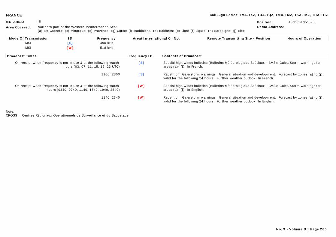
FRANCE Call Sign Series: TVA-TXZ, TOA-TQZ, TMA-TMZ, TKA-TKZ, THA-THZ
METAREA: III
Area Covered: Northern part of the Western Mediterranean Sea:(a) Est Cabrera; (c) Minorque; (e) Provence; (g) Corse; (i) Maddalena; (b) Baléares; (d) Lion; (f) Ligure; (h) Sardaigne; (j) Elbe
Position: 43°06'N 05°59'ERadio Address:
Mode Of Transmission ID Frequency Area/International Ch No. Remote Transmittng Site - Position Hours of OperationMSI [S] 490 kHzMSI [W] 518 kHz
Broadcast Times Frequency ID Contents of Broadcast
On receipt when frequency is not in use & at the following watch hours (03, 07, 11, 15, 19, 23 UTC)
[S] Special high winds bulletins (Bulletins Météorologique Spéciaux - BMS): Gales/Storm warnings for areas (a)- (j). In French.
1100, 2300 [S] Repetition: Gale/storm warnings. General situation and development. Forecast by zones (a) to (j), valid for the following 24 hours. Further weather outlook. In French.
On receipt when frequency is not in use & at the following watch hours (0340, 0740, 1140, 1540, 1940, 2340)
[W] Special high winds bulletins (Bulletins Météorologique Spéciaux - BMS): Gales/Storm warnings for areas (a)- (j). In English.
1140, 2340 [W] Repetition: Gale/storm warnings. General situation and development. Forecast by zones (a) to (j), valid for the following 24 hours. Further weather outlook. In English.
Note:CROSS = Centres Régionaux Operationnels de Surveillance et du Sauvetage
No. 9 - Volume D ¦ Page 205
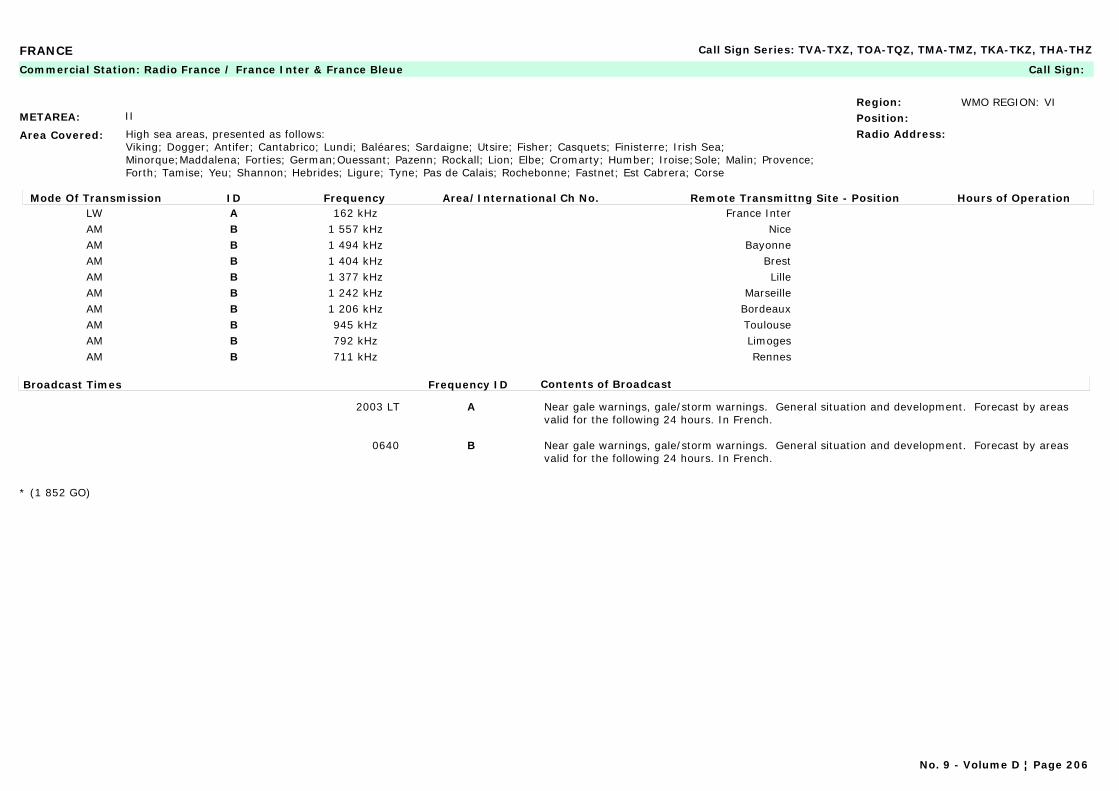
FRANCE Call Sign Series: TVA-TXZ, TOA-TQZ, TMA-TMZ, TKA-TKZ, THA-THZ
METAREA: II
Area Covered: High sea areas, presented as follows:Viking; Dogger; Antifer; Cantabrico; Lundi; Baléares; Sardaigne; Utsire; Fisher; Casquets; Finisterre; Irish Sea; Minorque;Maddalena; Forties; German;Ouessant; Pazenn; Rockall; Lion; Elbe; Cromarty; Humber; Iroise;Sole; Malin; Provence; Forth; Tamise; Yeu; Shannon; Hebrides; Ligure; Tyne; Pas de Calais; Rochebonne; Fastnet; Est Cabrera; Corse
Region: WMO REGION: VIPosition:Radio Address:
Commercial Station: Radio France / France Inter & France Bleue Call Sign:
Mode Of Transmission ID Frequency Area/International Ch No. Remote Transmittng Site - Position Hours of OperationLW A 162 kHz France InterAM B 1 557 kHz NiceAM B 1 494 kHz BayonneAM B 1 404 kHz BrestAM B 1 377 kHz LilleAM B 1 242 kHz MarseilleAM B 1 206 kHz BordeauxAM B 945 kHz ToulouseAM B 792 kHz LimogesAM B 711 kHz Rennes
Broadcast Times Frequency ID Contents of Broadcast
2003 LT A Near gale warnings, gale/storm warnings. General situation and development. Forecast by areas valid for the following 24 hours. In French.
0640 B Near gale warnings, gale/storm warnings. General situation and development. Forecast by areas valid for the following 24 hours. In French.
* (1 852 GO)
No. 9 - Volume D ¦ Page 206
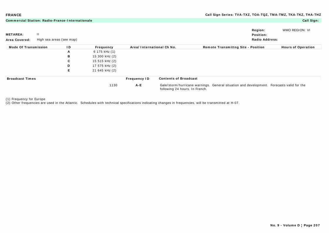
FRANCE Call Sign Series: TVA-TXZ, TOA-TQZ, TMA-TMZ, TKA-TKZ, THA-THZ
METAREA: II
Area Covered: High sea areas (see map)
Region: WMO REGION: VIPosition:Radio Address:
Commercial Station: Radio-France-Internationale Call Sign:
Mode Of Transmission ID Frequency Area/International Ch No. Remote Transmittng Site - Position Hours of OperationA 6 175 kHz (1)B 15 300 kHz (2)C 15 515 kHz (2)D 17 575 kHz (2)E 21 645 kHz (2)
Broadcast Times Frequency ID Contents of Broadcast
1130 A-E Gale/storm/hurricane warnings. General situation and development. Forecasts valid for the following 24 hours. In French.
(1) Frequency for Europe(2) Other frequencies are used in the Atlantic. Schedules with technical specifications indicating changes in frequencies, will be transmitted at H-07.
No. 9 - Volume D ¦ Page 207

FRENCH POLYNESIA Call Sign Series: FAA-FZZ
METAREA: XIV
Area Covered: Between 8°S and 28°S and from 134°W to 155°W
Region: WMO REGION: VPosition: 17°30'S 149°29'WRadio Address: METEO Faaa
Maritime Radio Station: Mahina (Tahiti) Call Sign: FJA
24-hour watch
Mode Of Transmission ID Frequency Area/International Ch No. Remote Transmittng Site - Position Hours of OperationRT (MF) A 2 620 kHzRT (HF) B 8 803 kHz
VHF C Ch. 27 Île du ventVHF C Ch. 26 Île sous le vent
Broadcast Times Frequency ID Contents of Broadcast
2200 LT A,C Gale/storm warnings. Forecasts valid 24 hours (1). In French.
0700 LT A,C The summary of islands' observations contains, in clear (see list of stations): "name of stations, cloud amound and present weather, wind direction and speed state of sea near the coasts". In French.
2100 LT B,C Gale/storm warnings. Forecasts valid 24 hours (1). In French.
0640 LT B,C The summary of islands' observations contains, in clear (see list of stations): "name of stations, cloud amound and present weather, wind direction and speed state of sea near the coasts". In French.
List of Stations: 91925 Atuona; 91930 Bora-Bora; 91938 Tahiti-Faaa; 91943 Takaroa; 91944 Hao; 91945 Hereheretue; 91946 Tureia; 91948 Rikitea; 91952 Mururoa; 91954 Tubuai; 91958 Rapa
(1) A gale/storm warning will precede or replace the forecasts when the forecast mean wind exceeds 25 knots. This warning will mention: - the indication on the type of disturbance; - the date and the time UTC; - the type of distrubance, its position and movement; - the area affected; - the direction and force of wind in various sections of the area affected; - further indications, if any
This warning is also broadcast, both on VHF and HF, at 0403, 1803 and 1833 UTC.
No. 9 - Volume D ¦ Page 208

FRENCH POLYNESIA Call Sign Series: FAA-FZZ
METAREA: XIV
Area Covered: Triangle TAHITI / MAUPITI / MANIHI
Region: WMO REGION: VPosition:Radio Address:
Commercial Station: Radio-France Outre-Mer (RFO), Tahiti Call Sign:
Mode Of Transmission ID Frequency Area/International Ch No. Remote Transmittng Site - Position Hours of OperationFM A 89 MHzFM B 91.8 MHzAM C 738 kHz
Broadcast Times Frequency ID Contents of Broadcast
Monday-Friday: 0555, 0655, 0757, 1030, 1755Weekend: 0555, 0745, 1825
A-C Gale/storm warnings - forecasts valid 24 hours. In French and Polynesian.
No. 9 - Volume D ¦ Page 209

GERMANY Call Sign Series: Y2A-Y9Z
METAREA: I
Area Covered: North sea coast & Baltic coast
Region: WMO REGION: VIPosition: 53°05'N 08°48'ERadio Address:
Marine Rescue Co-ordination Centre: Bremen Radio (MRCC) Call Sign:
24-hour watch
Mode Of Transmission ID Frequency Area/International Ch No. Remote Transmittng Site - Position Hours of OperationVHF A Ch 16 Sylt 54°55'N 08°18'EVHF A Ch 16 Eiderstedt 54°20'N 08°47'EVHF A Ch 16 Hamburg 53°33'N 09°58'EVHF A Ch 16 Helgoland 54°11'N 07°53'EVHF A Ch 16 Bremen 53°05'N 08°48'EVHF A Ch 16 Cuxhaen 53°50'N 08°39'EVHF A Ch 16 Norddeich 53°34'N 07°06'EVHF B Ch 16 Rugen 54°21'N 13°45'EVHF B Ch 16 Arkona 54°35'N 13°37'EVHF B Ch 16 Darss 54°24'N 12°27'EVHF B Ch 16 Rostock 54°10'N 12°06'EVHF B Ch 16 Lubeck 54°13'N 10°43'EVHF B Ch 16 Kiel 54°18'N 10°07'EVHF B Ch 16 Flensburg 54°44'N 09°30'E
Broadcast Times Frequency ID Contents of Broadcast
On receiptRepeated every H+00 & H+30 until cancelled
A, B Vital warnings for the Baltic and North Sea coasts of Germany.
No. 9 - Volume D ¦ Page 210
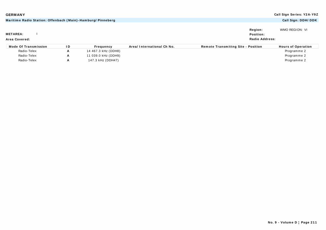
GERMANY Call Sign Series: Y2A-Y9Z
METAREA: I
Area Covered:
Region: WMO REGION: VI Position:Radio Address:
Maritime Radio Station: Offenbach (Main)-Hamburg/Pinneberg Call Sign: DDH/DDK
Mode Of Transmission ID Frequency Area/International Ch No. Remote Transmittng Site - Position Hours of OperationRadio-Telex A 14 467.3 kHz (DDH8) Programme 2Radio-Telex A 11 039.0 kHz (DDH9) Programme 2Radio-Telex A 147.3 kHz (DDH47) Programme 2
No. 9 - Volume D ¦ Page 211
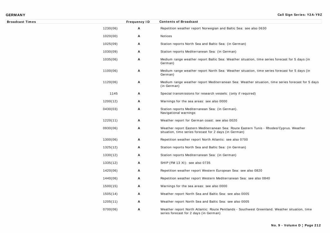
GERMANY Call Sign Series: Y2A-Y9Z
Broadcast Times Frequency ID Contents of Broadcast
1230(06) A Repetition weather report Norwegian and Baltic Sea: see also 0630
1020(00) A Notices
1025(09) A Station reports North Sea and Baltic Sea: (in German)
1030(09) A Station reports Mediterranean Sea: (in German)
1035(06) A Medium range weather report Baltic Sea: Weather situation, time series forecast for 5 days (in German)
1100(06) A Medium range weather report North Sea: Weather situation, time series forecast for 5 days (in German)
1120(06) A Medium range weather report Mediterranean Sea: Weather situation, time series forecast for 5 days (in German)
1145 A Special transmissions for research vessels: (only if required)
1200(12) A Warnings for the sea areas: see also 0000
0430(03) A Station reports Mediterranean Sea: (in German).Navigational warnings:
1220(11) A Weather report for German coast: see also 0020
0930(06) A Weather report Eastern Mediterranean Sea: Route Eastern Tunis - Rhodes/Cyprus. Weather situation, time series forecast for 2 days (in German)
1300(06) A Repetition weather report North Atlantic: see also 0700
1325(12) A Station reports North Sea and Baltic Sea: (in German)
1330(12) A Station reports Mediterranean Sea: (in German)
1335(12) A SHIP (FM 13 XI): see also 0735
1420(06) A Repetition weather report Western European Sea: see also 0820
1440(06) A Repetition weather report Western Mediterranean Sea: see also 0840
1500(15) A Warnings for the sea areas: see also 0000
1505(14) A Weather report North Sea and Baltic Sea: see also 0005
1205(11) A Weather report North Sea and Baltic Sea: see also 0005
0700(06) A Weather report North Atlantic: Route Pentlands - Southwest Greenland. Weather situation, time series forecast for 2 days (in German)
No. 9 - Volume D ¦ Page 212
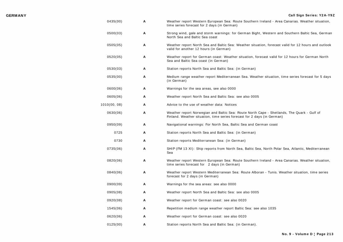
GERMANY Call Sign Series: Y2A-Y9Z
0435(00) A Weather report Western European Sea: Route Southern Ireland - Area Canarias. Weather situation, time series forecast for 2 days (in German)
0500(03) A Strong wind, gale and storm warnings: for German Bight, Western and Southern Baltic Sea, German North Sea and Baltic Sea coast
0505(05) A Weather report North Sea and Baltic Sea: Weather situation, forecast valid for 12 hours and outlook valid for another 12 hours (in German)
0520(05) A Weather report for German coast: Weather situation, forecast valid for 12 hours for German North Sea and Baltic Sea coast (in German)
0530(03) A Station reports North Sea and Baltic Sea: (in German)
0535(00) A Medium range weather report Mediterranean Sea. Weather situation, time series forecast for 5 days (in German)
0600(06) A Warnings for the sea areas, see also 0000
0605(06) A Weather report North Sea and Baltic Sea: see also 0005
1010(00, 08) A Advice to the use of weather data: Notices
0630(06) A Weather report Norwegian and Baltic Sea: Route North Cape - Shetlands, The Quark - Gulf of Finland. Weather situation, time series forecast for 2 days (in German)
0950(09) A Navigational warnings: For North Sea, Baltic Sea and German coast
0725 A Station reports North Sea and Baltic Sea: (in German)
0730 A Station reports Mediterranean Sea: (in German)
0735(06) A SHIP (FM 13 XI): Ship reports from North Sea, Baltic Sea, North Polar Sea, Atlantic, Mediterranean Sea
0820(06) A Weather report Western European Sea: Route Southern Ireland - Area Canarias. Weather situation, time series forecast for 2 days (in German)
0840(06) A Weather report Western Mediterranean Sea: Route Alboran - Tunis. Weather situation, time series forecast for 2 days (in German)
0900(09) A Warnings for the sea areas: see also 0000
0905(08) A Weather report North Sea and Baltic Sea: see also 0005
0920(08) A Weather report for German coast: see also 0020
1545(06) A Repetition medium range weather report Baltic Sea: see also 1035
0620(06) A Weather report for German coast: see also 0020
0125(00) A Station reports North Sea and Baltic Sea: (in German).
No. 9 - Volume D ¦ Page 213
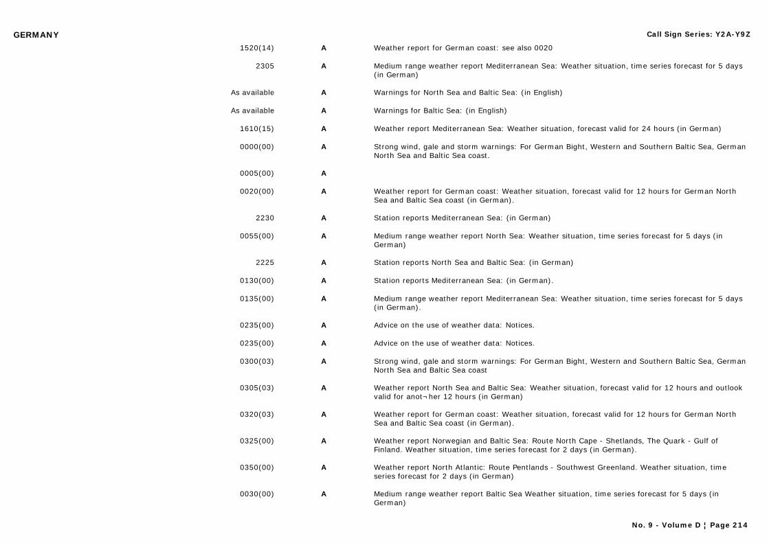
GERMANY Call Sign Series: Y2A-Y9Z
1520(14) A Weather report for German coast: see also 0020
2305 A Medium range weather report Mediterranean Sea: Weather situation, time series forecast for 5 days (in German)
As available A Warnings for North Sea and Baltic Sea: (in English)
As available A Warnings for Baltic Sea: (in English)
1610(15) A Weather report Mediterranean Sea: Weather situation, forecast valid for 24 hours (in German)
0000(00) A Strong wind, gale and storm warnings: For German Bight, Western and Southern Baltic Sea, German North Sea and Baltic Sea coast.
0005(00) A
0020(00) A Weather report for German coast: Weather situation, forecast valid for 12 hours for German North Sea and Baltic Sea coast (in German).
2230 A Station reports Mediterranean Sea: (in German)
0055(00) A Medium range weather report North Sea: Weather situation, time series forecast for 5 days (in German)
2225 A Station reports North Sea and Baltic Sea: (in German)
0130(00) A Station reports Mediterranean Sea: (in German).
0135(00) A Medium range weather report Mediterranean Sea: Weather situation, time series forecast for 5 days (in German).
0235(00) A Advice on the use of weather data: Notices.
0235(00) A Advice on the use of weather data: Notices.
0300(03) A Strong wind, gale and storm warnings: For German Bight, Western and Southern Baltic Sea, German North Sea and Baltic Sea coast
0305(03) A Weather report North Sea and Baltic Sea: Weather situation, forecast valid for 12 hours and outlook valid for anot¬her 12 hours (in German)
0320(03) A Weather report for German coast: Weather situation, forecast valid for 12 hours for German North Sea and Baltic Sea coast (in German).
0325(00) A Weather report Norwegian and Baltic Sea: Route North Cape - Shetlands, The Quark - Gulf of Finland. Weather situation, time series forecast for 2 days (in German).
0350(00) A Weather report North Atlantic: Route Pentlands - Southwest Greenland. Weather situation, time series forecast for 2 days (in German)
0030(00) A Medium range weather report Baltic Sea Weather situation, time series forecast for 5 days (in German)
No. 9 - Volume D ¦ Page 214
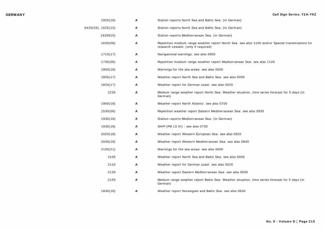
GERMANY Call Sign Series: Y2A-Y9Z
1925(18) A Station reports North Sea and Baltic Sea: (in German)
0425(03), 1625(15) A Station reports North Sea and Baltic Sea: (in German)
1630815) A Station reports Mediterranean Sea: (in German)
1635(06) A Repetition medium range weather report North Sea: see also 1100 and/or Special transmissions for research vessels: (only if required)
1715(17) A Navigational warnings: see also 0950
1735(06) A Repetition medium range weather report Mediterranean Sea: see also 1120
1800(18) A Warnings for the sea areas: see also 0000
1805(17) A Weather report North Sea and Baltic Sea: see also 0005
1820(17) A Weather report for German coast: see also 0020
2235 A Medium range weather report North Sea: Weather situation, time series forecast for 5 days (in German)
1900(18) A Weather report North Atlantic: see also 0700
1530(06) A Repetition weather report Eastern Mediterranean Sea: see also 0930
1930(18) A Station reports Mediterranean Sea: (in German)
1935(18) A SHIP (FM 13 XI) : see also 0735
2020(18) A Weather report Western European Sea: see also 0820
2040(18) A Weather report Western Mediterranean Sea: see also 0840
2100(21) A Warnings for the sea areas: see also 0000
2105 A Weather report North Sea and Baltic Sea: see also 0005
2120 A Weather report for German coast: see also 0020
2130 A Weather report Eastern Mediterranean Sea: see also 0930
2155 A Medium range weather report Baltic Sea: Weather situation, time series forecast for 5 days (in German)
1830(18) A Weather report Norwegian and Baltic Sea: see also 0630
No. 9 - Volume D ¦ Page 215
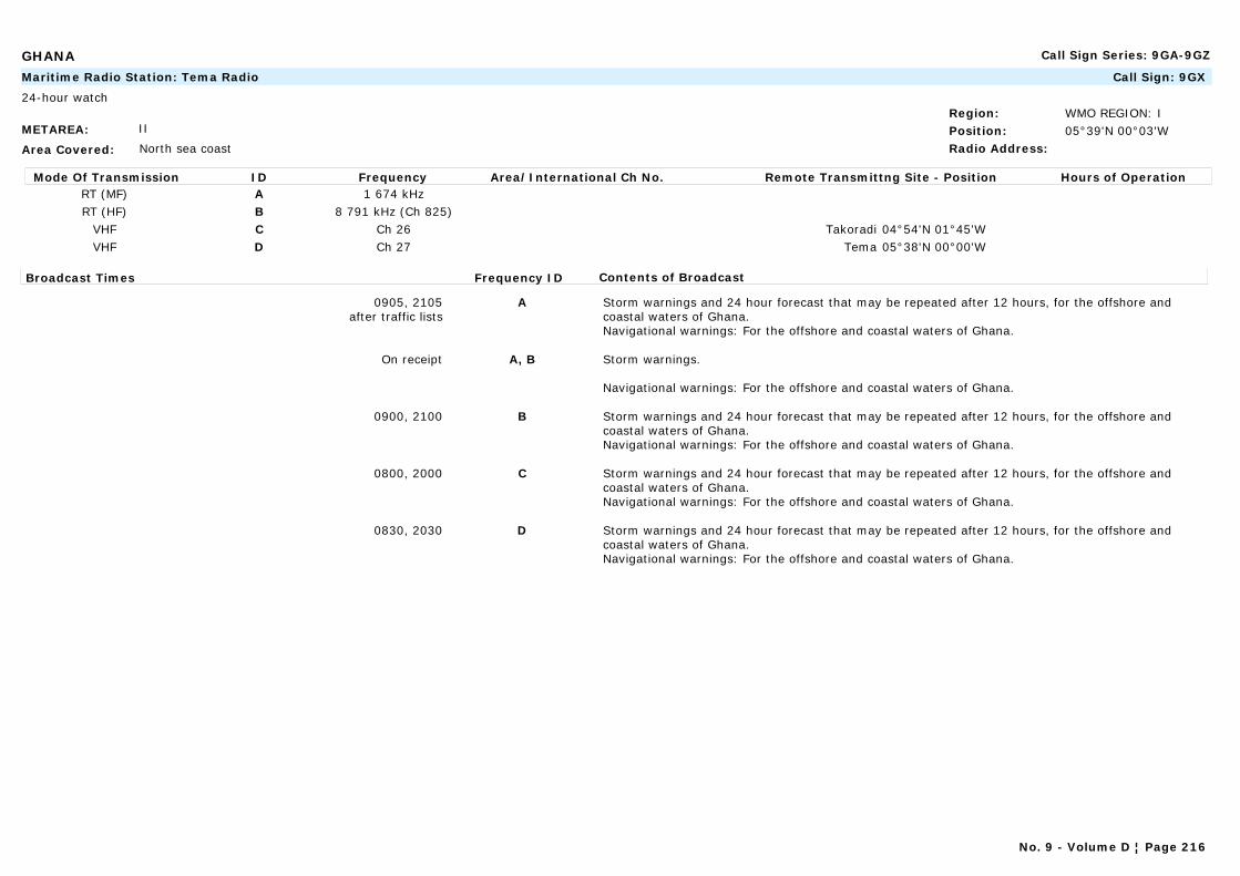
GHANA Call Sign Series: 9GA-9GZ
METAREA: II
Area Covered: North sea coast
Region: WMO REGION: IPosition: 05°39'N 00°03'WRadio Address:
Maritime Radio Station: Tema Radio Call Sign: 9GX
24-hour watch
Mode Of Transmission ID Frequency Area/International Ch No. Remote Transmittng Site - Position Hours of OperationRT (MF) A 1 674 kHzRT (HF) B 8 791 kHz (Ch 825)
VHF C Ch 26 Takoradi 04°54'N 01°45'WVHF D Ch 27 Tema 05°38'N 00°00'W
Broadcast Times Frequency ID Contents of Broadcast
0905, 2105after traffic lists
A Storm warnings and 24 hour forecast that may be repeated after 12 hours, for the offshore and coastal waters of Ghana.Navigational warnings: For the offshore and coastal waters of Ghana.
On receipt A, B Storm warnings.
Navigational warnings: For the offshore and coastal waters of Ghana.
0900, 2100 B Storm warnings and 24 hour forecast that may be repeated after 12 hours, for the offshore and coastal waters of Ghana.Navigational warnings: For the offshore and coastal waters of Ghana.
0800, 2000 C Storm warnings and 24 hour forecast that may be repeated after 12 hours, for the offshore and coastal waters of Ghana.Navigational warnings: For the offshore and coastal waters of Ghana.
0830, 2030 D Storm warnings and 24 hour forecast that may be repeated after 12 hours, for the offshore and coastal waters of Ghana.Navigational warnings: For the offshore and coastal waters of Ghana.
No. 9 - Volume D ¦ Page 216

GIBRALTAR Call Sign Series:
METAREA: III
Area Covered:
Region: WMO REGION: VIPosition:Radio Address:
Commercial Station: BFBS Gibraltar Call Sign:
Mode Of Transmission ID Frequency Area/International Ch No. Remote Transmittng Site - Position Hours of OperationFM A 97.8 MHz Radio 1FM A 93.5 MHz Radio 1FM B 99.5 MHz Radio 2FM B 89.4 MHz Radio 2
Broadcast Times Frequency ID Contents of Broadcast
Mon-Fri: 0745, 0845, 1005, 1605 LTSat: 0845, 0945, 1202 LT
Sun: 0845, 0945, 1202, 1602 LT
A Shipping forecast, wind, weather, visibility, sea state, swell, High Water and low Water times for local waters within 5 n miles of Gibraltar. In English.
On receipt A,B Storm and gale warnings for the Gibraltar area.
Mon-Fri: 1200 LT B Storm and gale warnings for the Gibraltar area. In English.
METAREA: III
Area Covered:
Region: WMO REGION: VIPosition:Radio Address:
Commercial Station: Gibraltar Broadcasting Corporation Call Sign:
Mode Of Transmission ID Frequency Area/International Ch No. Remote Transmittng Site - Position Hours of OperationAM A 1 458 kHzFM B 91.3 MHzFM C 92.6 MHzFM D 100.5 MHz
Broadcast Times Frequency ID Contents of Broadcast
Mon-Fri: 0530, 0630, 0730, 1030, 1230Sat: 0530, 0630, 0730, 1030
Sun: 0630, 0730, 1030
A-D General synopsis, situation, forecast, wind direction and strength, sea state and visibility for area up to 5 n miles from Gibraltar. In English.
No. 9 - Volume D ¦ Page 217
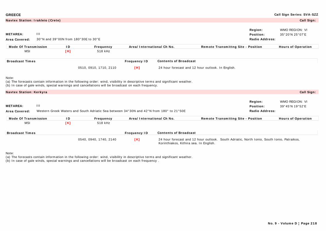
GREECE Call Sign Series: SVA-SZZ
METAREA: III
Area Covered: 30°N and 39°00N from 180°30E to 30°E
Region: WMO REGION: VIPosition: 35°20'N 25°07'ERadio Address:
Navtex Station: Irakleio (Crete) Call Sign:
Mode Of Transmission ID Frequency Area/International Ch No. Remote Transmittng Site - Position Hours of OperationMSI [H] 518 kHz
Broadcast Times Frequency ID Contents of Broadcast
0510, 0910, 1710, 2110 [H] 24 hour forecast and 12 hour outlook. In English.
Note: (a) The forecasts contain information in the following order: wind, visibility in descriptive terms and significant weather. (b) In case of gale winds, special warnings and cancellations will be broadcast on each frequency.
METAREA: III
Area Covered: Western Greek Waters and South Adriatic Sea between 34°30N and 42°N from 180° to 21°50E
Region: WMO REGION: VIPosition: 39°45'N 19°52'ERadio Address:
Navtex Station: Kerkyra Call Sign:
Mode Of Transmission ID Frequency Area/International Ch No. Remote Transmittng Site - Position Hours of OperationMSI [K] 518 kHz
Broadcast Times Frequency ID Contents of Broadcast
0540, 0940, 1740, 2140 [K] 24 hour forecast and 12 hour outlook. South Adriatic, North Ionio, South Ionio, Patraikos, Korinthiakos, Kithira sea. In English.
Note: (a) The forecasts contain information in the following order: wind, visibility in descriptive terms and significant weather. (b) In case of gale winds, special warnings and cancellations will be broadcast on each frequency .
No. 9 - Volume D ¦ Page 218
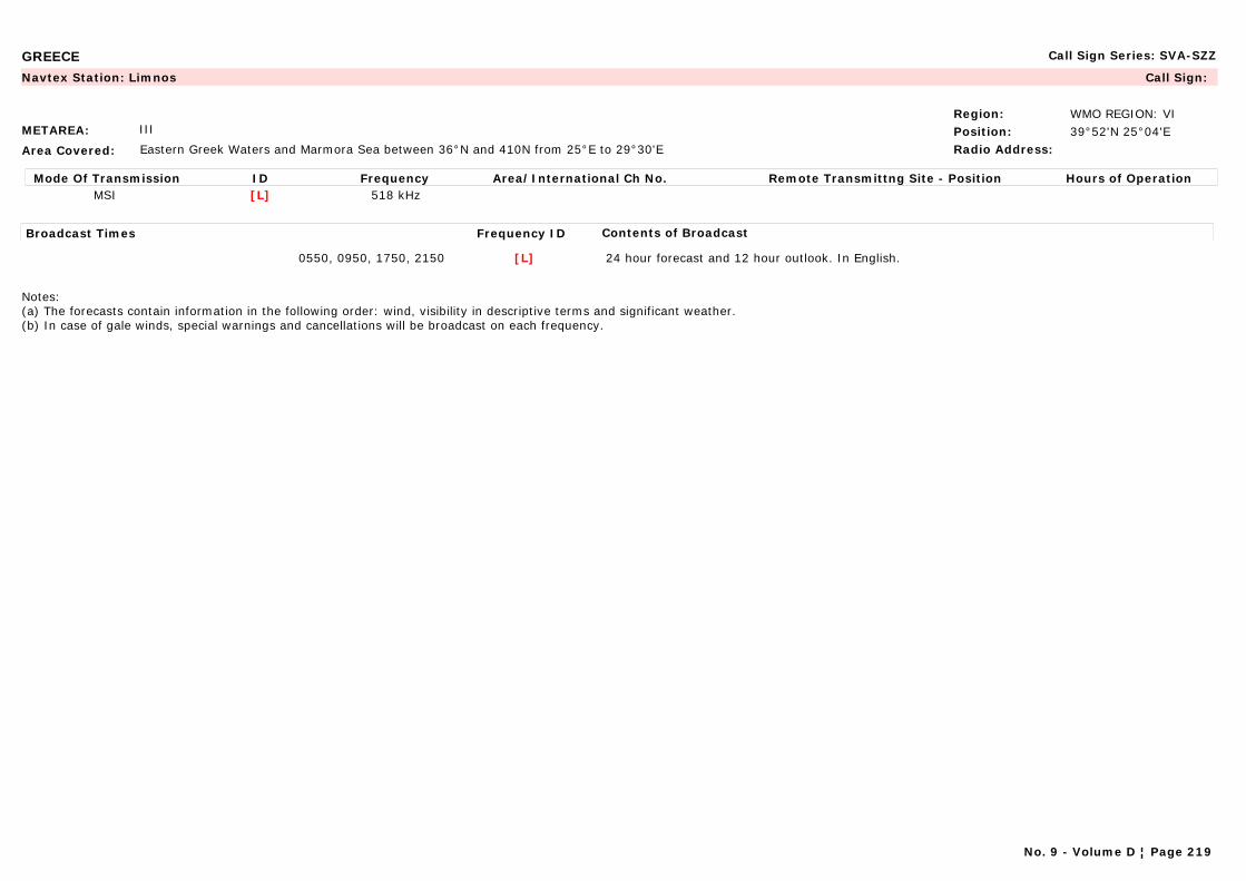
GREECE Call Sign Series: SVA-SZZ
METAREA: III
Area Covered: Eastern Greek Waters and Marmora Sea between 36°N and 410N from 25°E to 29°30'E
Region: WMO REGION: VIPosition: 39°52'N 25°04'ERadio Address:
Navtex Station: Limnos Call Sign:
Mode Of Transmission ID Frequency Area/International Ch No. Remote Transmittng Site - Position Hours of OperationMSI [L] 518 kHz
Broadcast Times Frequency ID Contents of Broadcast
0550, 0950, 1750, 2150 [L] 24 hour forecast and 12 hour outlook. In English.
Notes:(a) The forecasts contain information in the following order: wind, visibility in descriptive terms and significant weather. (b) In case of gale winds, special warnings and cancellations will be broadcast on each frequency.
No. 9 - Volume D ¦ Page 219
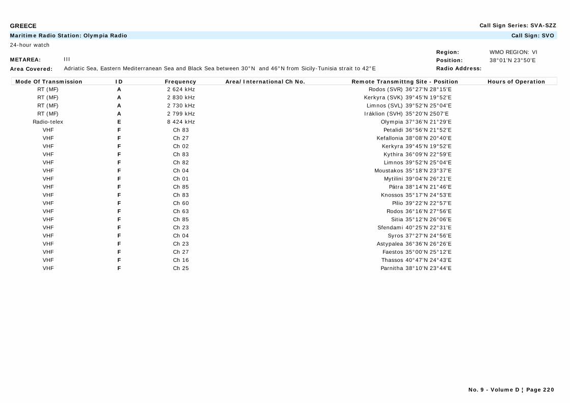
GREECE Call Sign Series: SVA-SZZ
METAREA: III
Area Covered: Adriatic Sea, Eastern Mediterranean Sea and Black Sea between 30°N and 46°N from Sicily-Tunisia strait to 42°E
Region: WMO REGION: VIPosition: 38°01'N 23°50'ERadio Address:
Maritime Radio Station: Olympia Radio Call Sign: SVO
24-hour watch
Mode Of Transmission ID Frequency Area/International Ch No. Remote Transmittng Site - Position Hours of OperationRT (MF) A 2 624 kHz Rodos (SVR) 36°27'N 28°15'ERT (MF) A 2 830 kHz Kerkyra (SVK) 39°45'N 19°52'ERT (MF) A 2 730 kHz Limnos (SVL) 39°52'N 25°04'ERT (MF) A 2 799 kHz Iráklion (SVH) 35°20'N 2507'E
Radio-telex E 8 424 kHz Olympia 37°36'N 21°29'EVHF F Ch 83 Petalidi 36°56'N 21°52'EVHF F Ch 27 Kefallonia 38°08'N 20°40'EVHF F Ch 02 Kerkyra 39°45'N 19°52'EVHF F Ch 83 Kythira 36°09'N 22°59'EVHF F Ch 82 Limnos 39°52'N 25°04'EVHF F Ch 04 Moustakos 35°18'N 23°37'EVHF F Ch 01 Mytilini 39°04'N 26°21'EVHF F Ch 85 Pátra 38°14'N 21°46'EVHF F Ch 83 Knossos 35°17'N 24°53'EVHF F Ch 60 Pilio 39°22'N 22°57'EVHF F Ch 63 Rodos 36°16'N 27°56'EVHF F Ch 85 Sitia 35°12'N 26°06'EVHF F Ch 23 Sfendami 40°25'N 22°31'EVHF F Ch 04 Syros 37°27'N 24°56'EVHF F Ch 23 Astypalea 36°36'N 26°26'EVHF F Ch 27 Faestos 35°00'N 25°12'EVHF F Ch 16 Thassos 40°47'N 24°43'EVHF F Ch 25 Parnitha 38°10'N 23°44'E
No. 9 - Volume D ¦ Page 220
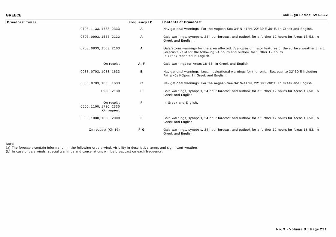
GREECE Call Sign Series: SVA-SZZ
Broadcast Times Frequency ID Contents of Broadcast
0703, 1133, 1733, 2333 A Navigational warnings: For the Aegean Sea 34°N-41°N, 22°30'E-30°E. In Greek and English.
0703, 0903, 1533, 2133 A Gale warnings, synopsis, 24 hour forecast and outlook for a further 12 hours for Areas 18-53. In Greek and English.
0703, 0933, 1503, 2103 A Gale/storm warnings for the area affected. Synopsis of major features of the surface weather chart. Forecasts valid for the following 24 hours and outlook for further 12 hours.In Greek repeated in English.
On receipt A, F Gale warnings for Areas 18-53. In Greek and English.
0033, 0703, 1033, 1633 B Navigational warnings: Local navigational warnings for the Ionian Sea east to 22°30'E including Patraikós Kólpos. In Greek and English.
0033, 0703, 1033, 1633 C Navigational warnings: For the Aegean Sea 34°N-41°N, 22°30'E-30°E. In Greek and English.
0930, 2130 E Gale warnings, synopsis, 24 hour forecast and outlook for a further 12 hours for Areas 18-53. In Greek and English.
On receipt0500, 1100, 1730, 2330
On request
F In Greek and English.
0600, 1000, 1600, 2000 F Gale warnings, synopsis, 24 hour forecast and outlook for a further 12 hours for Areas 18-53. In Greek and English.
On request (Ch 16) F-G Gale warnings, synopsis, 24 hour forecast and outlook for a further 12 hours for Areas 18-53. In Greek and English.
Note: (a) The forecasts contain information in the following order: wind, visibility in descriptive terms and significant weather. (b) In case of gale winds, special warnings and cancellations will be broadcast on each frequency.
No. 9 - Volume D ¦ Page 221
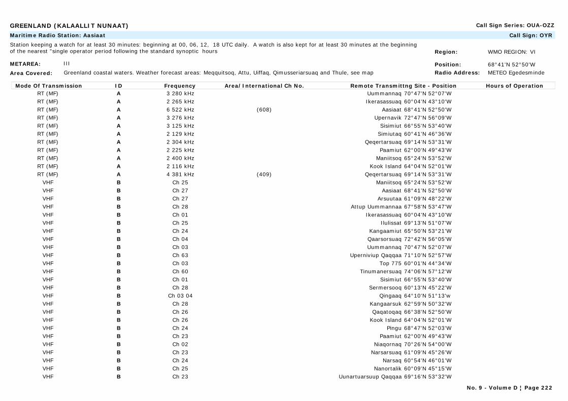
GREENLAND (KALAALLIT NUNAAT) Call Sign Series: OUA-OZZ
METAREA: III
Area Covered: Greenland coastal waters. Weather forecast areas: Meqquitsoq, Attu, Uiffaq, Qimusseriarsuaq and Thule, see map
Region: WMO REGION: VI
Position: 68°41'N 52°50'WRadio Address: METEO Egedesminde
Maritime Radio Station: Aasiaat Call Sign: OYR
Station keeping a watch for at least 30 minutes: beginning at 00, 06, 12, 18 UTC daily. A watch is also kept for at least 30 minutes at the beginning of the nearest "single operator period following the standard synoptic hours
Mode Of Transmission ID Frequency Area/International Ch No. Remote Transmittng Site - Position Hours of OperationRT (MF) A 3 280 kHz Uummannaq 70°47'N 52°07'WRT (MF) A 2 265 kHz Ikerasassuaq 60°04'N 43°10'WRT (MF) A 6 522 kHz (608) Aasiaat 68°41'N 52°50'WRT (MF) A 3 276 kHz Upernavik 72°47'N 56°09'WRT (MF) A 3 125 kHz Sisimiut 66°55'N 53°40'WRT (MF) A 2 129 kHz Simiutaq 60°41'N 46°36'WRT (MF) A 2 304 kHz Qeqertarsuaq 69°14'N 53°31'WRT (MF) A 2 225 kHz Paamiut 62°00'N 49°43'WRT (MF) A 2 400 kHz Maniitsoq 65°24'N 53°52'WRT (MF) A 2 116 kHz Kook Island 64°04'N 52°01'WRT (MF) A 4 381 kHz (409) Qeqertarsuaq 69°14'N 53°31'W
VHF B Ch 25 Maniitsoq 65°24'N 53°52'WVHF B Ch 27 Aasiaat 68°41'N 52°50'WVHF B Ch 27 Arsuutaa 61°09'N 48°22'WVHF B Ch 28 Attup Uummannaa 67°58'N 53°47'WVHF B Ch 01 Ikerasassuaq 60°04'N 43°10'WVHF B Ch 25 Ilulissat 69°13'N 51°07'WVHF B Ch 24 Kangaamiut 65°50'N 53°21'WVHF B Ch 04 Qaarsorsuaq 72°42'N 56°05'WVHF B Ch 03 Uummannaq 70°47'N 52°07'WVHF B Ch 63 Uperniviup Qaqqaa 71°10'N 52°57'WVHF B Ch 03 Top 775 60°01'N 44°34'WVHF B Ch 60 Tinumanersuaq 74°06'N 57°12'WVHF B Ch 01 Sisimiut 66°55'N 53°40'WVHF B Ch 28 Sermersooq 60°13'N 45°22'WVHF B Ch 03 04 Qingaaq 64°10'N 51°13'wVHF B Ch 28 Kangaarsuk 62°59'N 50°32'WVHF B Ch 26 Qaqatoqaq 66°38'N 52°50'WVHF B Ch 26 Kook Island 64°04'N 52°01'WVHF B Ch 24 Pingu 68°47'N 52°03'WVHF B Ch 23 Paamiut 62°00'N 49°43'WVHF B Ch 02 Niaqornaq 70°26'N 54°00'WVHF B Ch 23 Narsarsuaq 61°09'N 45°26'WVHF B Ch 24 Narsaq 60°54'N 46°01'WVHF B Ch 25 Nanortalik 60°09'N 45°15'WVHF B Ch 23 Uunartuarsuup Qaqqaa 69°16'N 53°32'W
No. 9 - Volume D ¦ Page 222
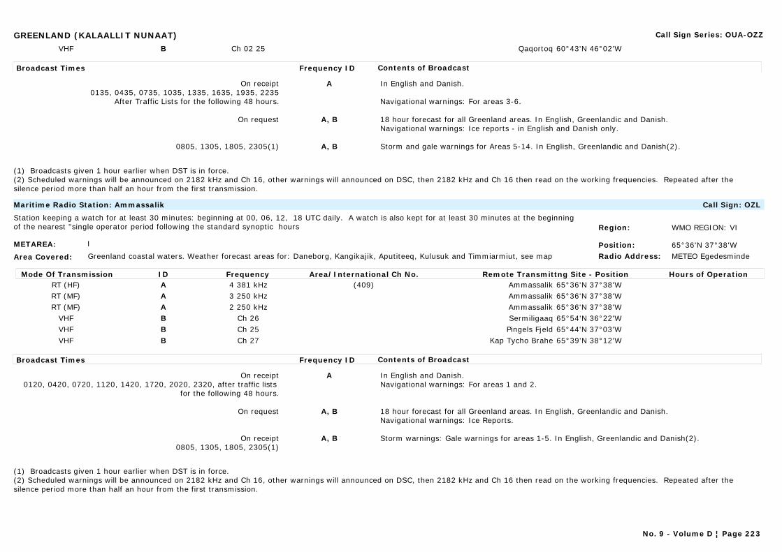
GREENLAND (KALAALLIT NUNAAT) Call Sign Series: OUA-OZZ
VHF B Ch 02 25 Qaqortoq 60°43'N 46°02'W
Broadcast Times Frequency ID Contents of Broadcast
On receipt0135, 0435, 0735, 1035, 1335, 1635, 1935, 2235
After Traffic Lists for the following 48 hours.
A In English and Danish.
Navigational warnings: For areas 3-6.
On request A, B 18 hour forecast for all Greenland areas. In English, Greenlandic and Danish.Navigational warnings: Ice reports - in English and Danish only.
0805, 1305, 1805, 2305(1) A, B Storm and gale warnings for Areas 5-14. In English, Greenlandic and Danish(2).
(1) Broadcasts given 1 hour earlier when DST is in force.(2) Scheduled warnings will be announced on 2182 kHz and Ch 16, other warnings will announced on DSC, then 2182 kHz and Ch 16 then read on the working frequencies. Repeated after the silence period more than half an hour from the first transmission.
METAREA: I
Area Covered: Greenland coastal waters. Weather forecast areas for: Daneborg, Kangikajik, Aputiteeq, Kulusuk and Timmiarmiut, see map
Region: WMO REGION: VI
Position: 65°36'N 37°38'WRadio Address: METEO Egedesminde
Maritime Radio Station: Ammassalik Call Sign: OZL
Station keeping a watch for at least 30 minutes: beginning at 00, 06, 12, 18 UTC daily. A watch is also kept for at least 30 minutes at the beginning of the nearest "single operator period following the standard synoptic hours
Mode Of Transmission ID Frequency Area/International Ch No. Remote Transmittng Site - Position Hours of OperationRT (HF) A 4 381 kHz (409) Ammassalik 65°36'N 37°38'WRT (MF) A 3 250 kHz Ammassalik 65°36'N 37°38'WRT (MF) A 2 250 kHz Ammassalik 65°36'N 37°38'W
VHF B Ch 26 Sermiligaaq 65°54'N 36°22'WVHF B Ch 25 Pingels Fjeld 65°44'N 37°03'WVHF B Ch 27 Kap Tycho Brahe 65°39'N 38°12'W
Broadcast Times Frequency ID Contents of Broadcast
On receipt0120, 0420, 0720, 1120, 1420, 1720, 2020, 2320, after traffic lists
for the following 48 hours.
A In English and Danish.Navigational warnings: For areas 1 and 2.
On request A, B 18 hour forecast for all Greenland areas. In English, Greenlandic and Danish.Navigational warnings: Ice Reports.
On receipt0805, 1305, 1805, 2305(1)
A, B Storm warnings: Gale warnings for areas 1-5. In English, Greenlandic and Danish(2).
(1) Broadcasts given 1 hour earlier when DST is in force.(2) Scheduled warnings will be announced on 2182 kHz and Ch 16, other warnings will announced on DSC, then 2182 kHz and Ch 16 then read on the working frequencies. Repeated after the silence period more than half an hour from the first transmission.
No. 9 - Volume D ¦ Page 223

GREENLAND (KALAALLIT NUNAAT) Call Sign Series: OUA-OZZ
METAREA: IV
Area Covered: Greenland coastal waters. Weather forecast areas for all coastal areas, see map
Region: WMO REGION: VIPosition: 61°14'N 48°06'WRadio Address:
Marine Rescue Co-ordination Centre: Grønnedal Call Sign:
Mode Of Transmission ID Frequency Area/International Ch No. Remote Transmittng Site - Position Hours of OperationVHF A Ch12 Kangilinnguit
Broadcast Times Frequency ID Contents of Broadcast
On receipt A Gale warnings for Area 9. In English and Danish.
METAREA: I
Area Covered:
Region: WMO REGION: VIPosition:Radio Address:
Commercial Station: Kalaalit Nunaata Radio Call Sign: KNR
Mode Of Transmission ID Frequency Area/International Ch No. Remote Transmittng Site - Position Hours of OperationAM A 650 kHz Nuuk GodthabAM B 720 kHz QeqertarsuaqAM C 810 kHz SimiutaqAM D 900 kHz UpernavikFM E 90.5-104 MHz
Broadcast Times Frequency ID Contents of Broadcast
Mon-Fri: 1730 LTSat, Sun: 1800 LT
A-E In Danish and Greenlandic.
Navigational warnings: For all areas.
Mon-Sat: 0700, 0845, 1245, 1730, 2300 LTSun & Public holidays: 0800, 1200, 1800, 2300 LT
A-E Gale warnings, synopsis, 18 hour forecast and ice information for all Areas. In Danish and Greenlandic.
No. 9 - Volume D ¦ Page 224
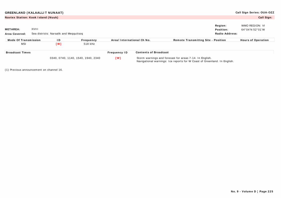
GREENLAND (KALAALLIT NUNAAT) Call Sign Series: OUA-OZZ
METAREA: XVIII
Area Covered: Sea districts: Narsalik and Meqquitsoq
Region: WMO REGION: VIPosition: 64°04'N 52°01'WRadio Address:
Navtex Station: Kook Island (Nuuk) Call Sign:
Mode Of Transmission ID Frequency Area/International Ch No. Remote Transmittng Site - Position Hours of OperationMSI [W] 518 kHz
Broadcast Times Frequency ID Contents of Broadcast
0340, 0740, 1140, 1540, 1940, 2340 [W] Storm warnings and forecast for areas 7-14. In English.Navigational warnings: Ice reports for W Coast of Greenland. In English.
(1) Previous announcement on channel 16.
No. 9 - Volume D ¦ Page 225

GRENADA Call Sign Series: J3A-J3Z
METAREA: IV
Area Covered: Caribbean Sea, Lesser Antilles and Atlantic waters to the east
Region: WMO REGION: IVPosition:Radio Address:
Commercial Station: Grenada Broadcasting Corporation (G.B.C. Radio) Radio Grenada Call Sign:
Mode Of Transmission ID Frequency Area/International Ch No. Remote Transmittng Site - Position Hours of OperationAM A 535 kHzFM B 105.5 MHz
Broadcast Times Frequency ID Contents of Broadcast
Mon-Sat: 0700, 1230, 1630 LT A, B Hurricane warnings and situation development (if any in force), forecast, Synopsis, analysis, sea state, for coastal waters of Grenada. In English.
On receipt A, B Hurricane warnings and situation development broadcast only during the hurricane season for the coastal waters of Grenada and surrounding area. In English.
Main Station
(1) These are times of Regional News Bulletins. Local warnings are given at the end.
METAREA: IV
Area Covered: Caribbean Sea, Lesser Antilles and Atlantic waters to the east
Region: WMO REGION: IVPosition: 12°08'N 61°41'WRadio Address:
Marine Rescue Co-ordination Centre: Grenada Coast Guard (S. Georges) (MRSC) Call Sign: J3YC
Mode Of Transmission ID Frequency Area/International Ch No. Remote Transmittng Site - Position Hours of OperationVHF A Ch 16 87
Broadcast Times Frequency ID Contents of Broadcast
On request A Forecast for coastal waters of Grenada and surrounding area.
Main Station
(1) These are times of Regional News Bulletins. Local warnings are given at the end.(2) 1945-2200.(3) 1000-0215.(4) Will extend normal operations to accommodate.
No. 9 - Volume D ¦ Page 226
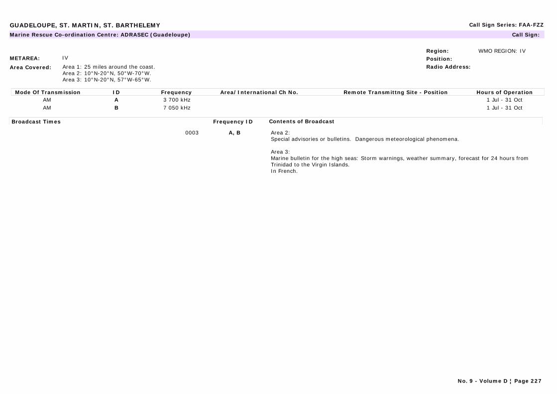
GUADELOUPE, ST. MARTIN, ST. BARTHELEMY Call Sign Series: FAA-FZZ
METAREA: IV
Area Covered: Area 1: 25 miles around the coast.Area 2: 10°N-20°N, 50°W-70°W.Area 3: 10°N-20°N, 57°W-65°W.
Region: WMO REGION: IVPosition:Radio Address:
Marine Rescue Co-ordination Centre: ADRASEC (Guadeloupe) Call Sign:
Mode Of Transmission ID Frequency Area/International Ch No. Remote Transmittng Site - Position Hours of OperationAM A 3 700 kHz 1 Jul - 31 OctAM B 7 050 kHz 1 Jul - 31 Oct
Broadcast Times Frequency ID Contents of Broadcast
0003 A, B Area 2:Special advisories or bulletins. Dangerous meteorological phenomena.
Area 3: Marine bulletin for the high seas: Storm warnings, weather summary, forecast for 24 hours from Trinidad to the Virgin Islands.In French.
No. 9 - Volume D ¦ Page 227
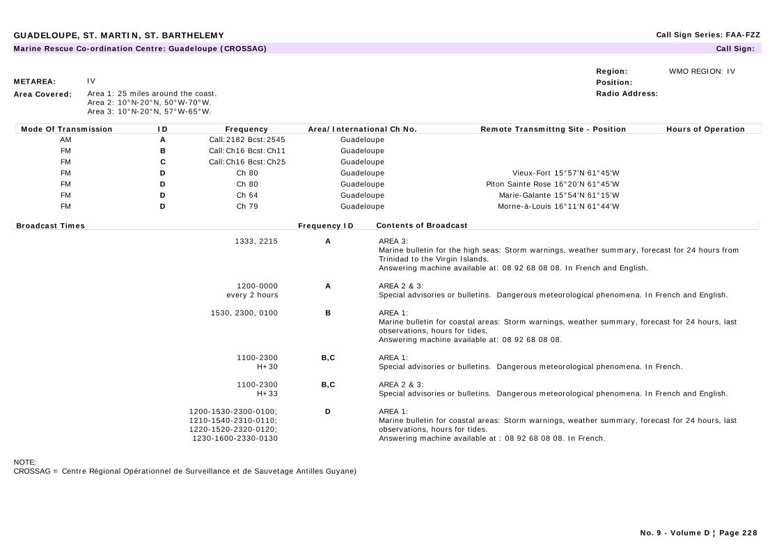
GUADELOUPE, ST. MARTIN, ST. BARTHELEMY Call Sign Series: FAA-FZZ
METAREA: IV
Area Covered: Area 1: 25 miles around the coast. Area 2: 10°N-20°N, 50°W-70°W.Area 3: 10°N-20°N, 57°W-65°W.
Region: WMO REGION: IVPosition:Radio Address:
Marine Rescue Co-ordination Centre: Guadeloupe (CROSSAG) Call Sign:
Mode Of Transmission ID Frequency Area/International Ch No. Remote Transmittng Site - Position Hours of OperationAM A Call:2182 Bcst:2545 GuadeloupeFM B Call:Ch16 Bcst:Ch11 GuadeloupeFM C Call:Ch16 Bcst:Ch25 GuadeloupeFM D Ch 80 Guadeloupe Vieux-Fort 15°57'N 61°45'WFM D Ch 80 Guadeloupe Piton Sainte Rose 16°20'N 61°45'WFM D Ch 64 Guadeloupe Marie-Galante 15°54'N 61°15'WFM D Ch 79 Guadeloupe Morne-à-Louis 16°11'N 61°44'W
Broadcast Times Frequency ID Contents of Broadcast
1333, 2215 A AREA 3:Marine bulletin for the high seas: Storm warnings, weather summary, forecast for 24 hours from Trinidad to the Virgin Islands.Answering machine available at: 08 92 68 08 08. In French and English.
1200-0000every 2 hours
A AREA 2 & 3: Special advisories or bulletins. Dangerous meteorological phenomena. In French and English.
1530, 2300, 0100 B AREA 1:Marine bulletin for coastal areas: Storm warnings, weather summary, forecast for 24 hours, last observations, hours for tides.Answering machine available at: 08 92 68 08 08.
1100-2300H+30
B,C AREA 1: Special advisories or bulletins. Dangerous meteorological phenomena. In French.
1100-2300H+33
B,C AREA 2 & 3: Special advisories or bulletins. Dangerous meteorological phenomena. In French and English.
1200-1530-2300-0100;1210-1540-2310-0110;1220-1520-2320-0120;1230-1600-2330-0130
D AREA 1: Marine bulletin for coastal areas: Storm warnings, weather summary, forecast for 24 hours, last observations, hours for tides.Answering machine available at : 08 92 68 08 08. In French.
NOTE:CROSSAG = Centre Régional Opérationnel de Surveillance et de Sauvetage Antilles Guyane)
No. 9 - Volume D ¦ Page 228
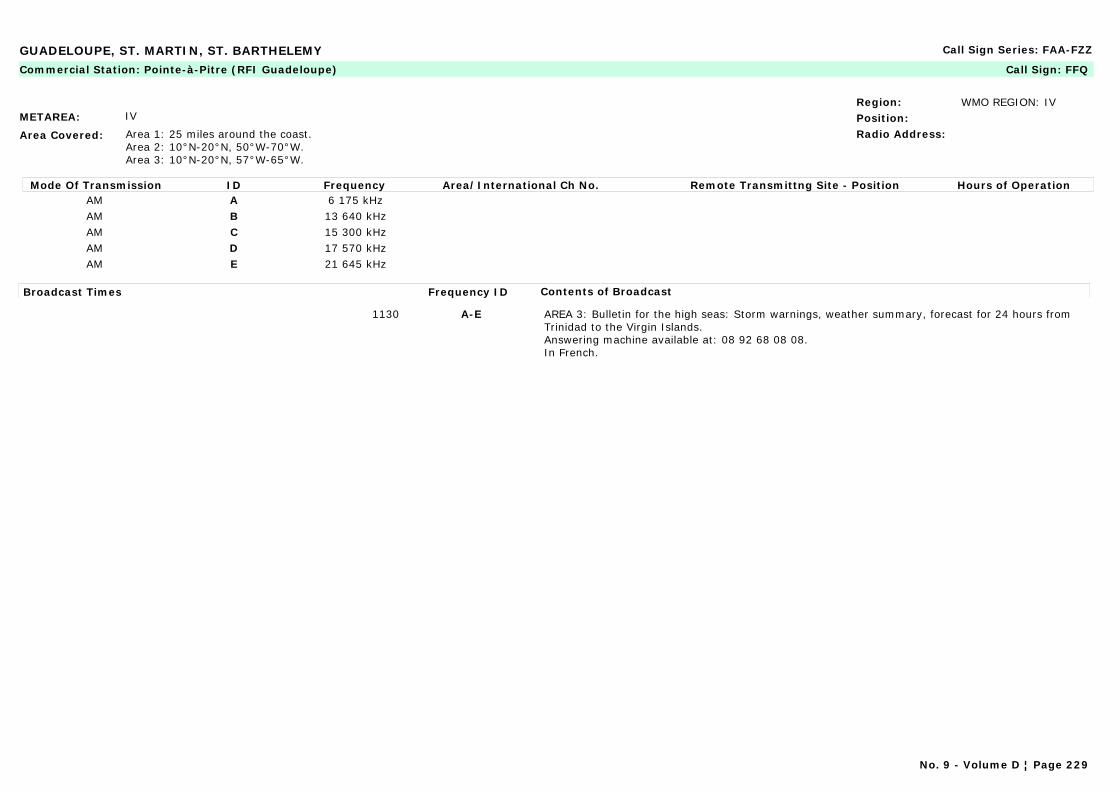
GUADELOUPE, ST. MARTIN, ST. BARTHELEMY Call Sign Series: FAA-FZZ
METAREA: IV
Area Covered: Area 1: 25 miles around the coast.Area 2: 10°N-20°N, 50°W-70°W.Area 3: 10°N-20°N, 57°W-65°W.
Region: WMO REGION: IVPosition:Radio Address:
Commercial Station: Pointe-à-Pitre (RFI Guadeloupe) Call Sign: FFQ
Mode Of Transmission ID Frequency Area/International Ch No. Remote Transmittng Site - Position Hours of OperationAM A 6 175 kHzAM B 13 640 kHzAM C 15 300 kHzAM D 17 570 kHzAM E 21 645 kHz
Broadcast Times Frequency ID Contents of Broadcast
1130 A-E AREA 3: Bulletin for the high seas: Storm warnings, weather summary, forecast for 24 hours from Trinidad to the Virgin Islands.Answering machine available at: 08 92 68 08 08.In French.
No. 9 - Volume D ¦ Page 229
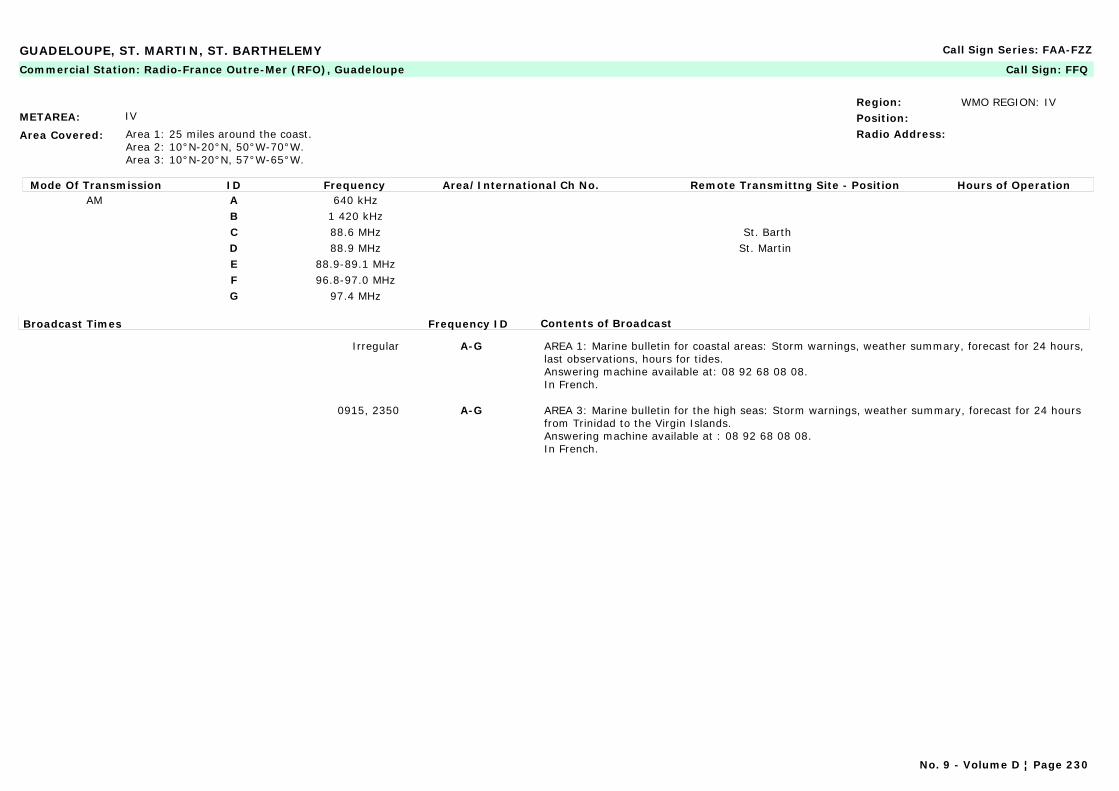
GUADELOUPE, ST. MARTIN, ST. BARTHELEMY Call Sign Series: FAA-FZZ
METAREA: IV
Area Covered: Area 1: 25 miles around the coast.Area 2: 10°N-20°N, 50°W-70°W.Area 3: 10°N-20°N, 57°W-65°W.
Region: WMO REGION: IVPosition:Radio Address:
Commercial Station: Radio-France Outre-Mer (RFO), Guadeloupe Call Sign: FFQ
Mode Of Transmission ID Frequency Area/International Ch No. Remote Transmittng Site - Position Hours of OperationAM A 640 kHz
B 1 420 kHzC 88.6 MHz St. BarthD 88.9 MHz St. MartinE 88.9-89.1 MHzF 96.8-97.0 MHzG 97.4 MHz
Broadcast Times Frequency ID Contents of Broadcast
Irregular A-G AREA 1: Marine bulletin for coastal areas: Storm warnings, weather summary, forecast for 24 hours, last observations, hours for tides.Answering machine available at: 08 92 68 08 08.In French.
0915, 2350 A-G AREA 3: Marine bulletin for the high seas: Storm warnings, weather summary, forecast for 24 hours from Trinidad to the Virgin Islands.Answering machine available at : 08 92 68 08 08.In French.
No. 9 - Volume D ¦ Page 230
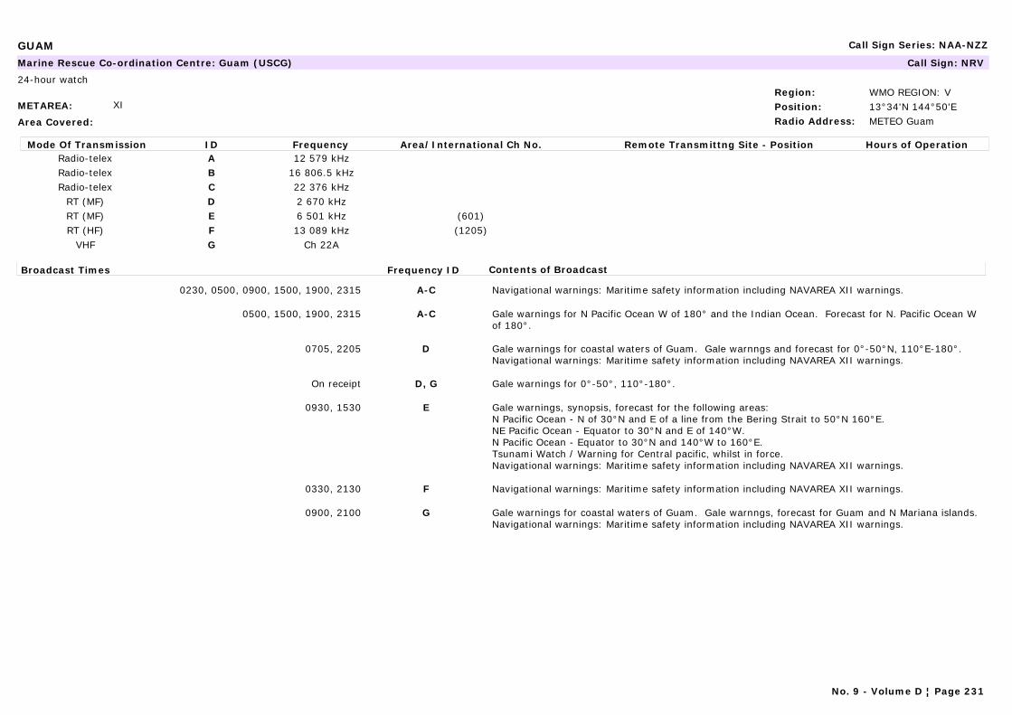
GUAM Call Sign Series: NAA-NZZ
METAREA: XI
Area Covered:
Region: WMO REGION: VPosition: 13°34'N 144°50'ERadio Address: METEO Guam
Marine Rescue Co-ordination Centre: Guam (USCG) Call Sign: NRV
24-hour watch
Mode Of Transmission ID Frequency Area/International Ch No. Remote Transmittng Site - Position Hours of OperationRadio-telex A 12 579 kHzRadio-telex B 16 806.5 kHzRadio-telex C 22 376 kHz
RT (MF) D 2 670 kHzRT (MF) E 6 501 kHz (601)RT (HF) F 13 089 kHz (1205)
VHF G Ch 22A
Broadcast Times Frequency ID Contents of Broadcast
0230, 0500, 0900, 1500, 1900, 2315 A-C Navigational warnings: Maritime safety information including NAVAREA XII warnings.
0500, 1500, 1900, 2315 A-C Gale warnings for N Pacific Ocean W of 180° and the Indian Ocean. Forecast for N. Pacific Ocean W of 180°.
0705, 2205 D Gale warnings for coastal waters of Guam. Gale warnngs and forecast for 0°-50°N, 110°E-180°.Navigational warnings: Maritime safety information including NAVAREA XII warnings.
On receipt D, G Gale warnings for 0°-50°, 110°-180°.
0930, 1530 E Gale warnings, synopsis, forecast for the following areas:N Pacific Ocean - N of 30°N and E of a line from the Bering Strait to 50°N 160°E.NE Pacific Ocean - Equator to 30°N and E of 140°W.N Pacific Ocean - Equator to 30°N and 140°W to 160°E.Tsunami Watch / Warning for Central pacific, whilst in force.Navigational warnings: Maritime safety information including NAVAREA XII warnings.
0330, 2130 F Navigational warnings: Maritime safety information including NAVAREA XII warnings.
0900, 2100 G Gale warnings for coastal waters of Guam. Gale warnngs, forecast for Guam and N Mariana islands.Navigational warnings: Maritime safety information including NAVAREA XII warnings.
No. 9 - Volume D ¦ Page 231

GUAM Call Sign Series: NAA-NZZ
METAREA: XI
Area Covered:
Region: WMO REGION: VPosition: 13°34'N 144°50'ERadio Address: METEO Guam
Navtex Station: Guam (USCG) Call Sign: NRV
24-hour watch
Mode Of Transmission ID Frequency Area/International Ch No. Remote Transmittng Site - Position Hours of OperationMSI [V] 518 kHz
Broadcast Times Frequency ID Contents of Broadcast
0100, 0500, 0900, 1700, 2100 [V] Gale warnings and forecast for Guam and N. Mariana Islands. In English.Navigational warnings: For N. Mariana Islands. In English.
Notes: Broadcasts are remotely controlled from CAMSPAC (Point Reyes).
No. 9 - Volume D ¦ Page 232
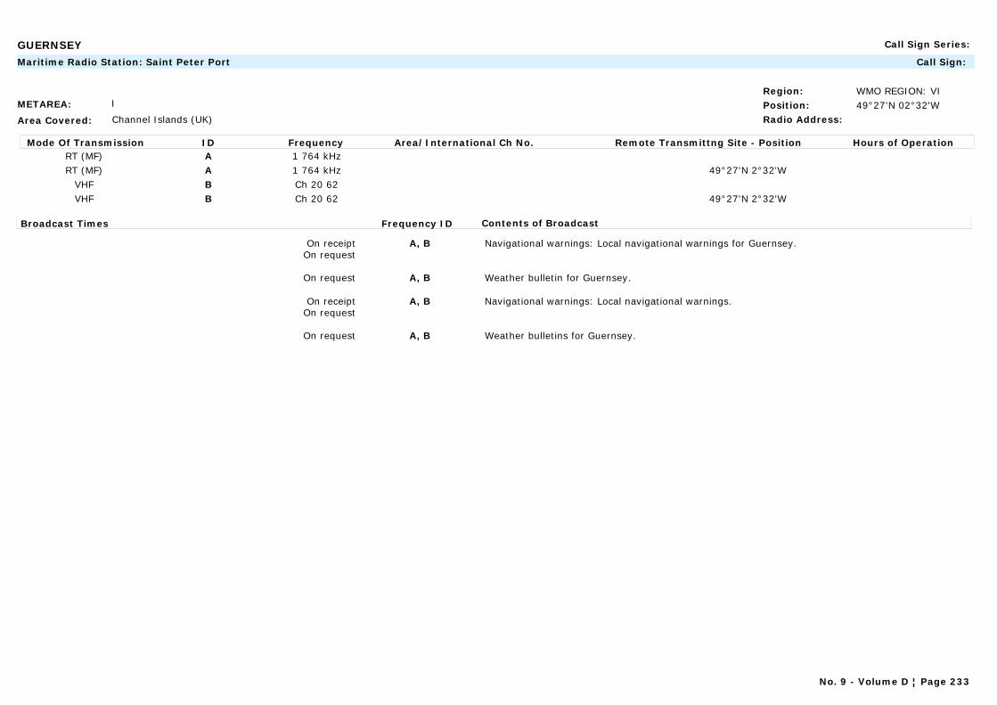
GUERNSEY Call Sign Series:
METAREA: I
Area Covered: Channel Islands (UK)
Region: WMO REGION: VIPosition: 49°27'N 02°32'WRadio Address:
Maritime Radio Station: Saint Peter Port Call Sign:
Mode Of Transmission ID Frequency Area/International Ch No. Remote Transmittng Site - Position Hours of OperationRT (MF) A 1 764 kHzRT (MF) A 1 764 kHz 49°27'N 2°32'W
VHF B Ch 20 62VHF B Ch 20 62 49°27'N 2°32'W
Broadcast Times Frequency ID Contents of Broadcast
On receiptOn request
A, B Navigational warnings: Local navigational warnings for Guernsey.
On request A, B Weather bulletin for Guernsey.
On receiptOn request
A, B Navigational warnings: Local navigational warnings.
On request A, B Weather bulletins for Guernsey.
No. 9 - Volume D ¦ Page 233

GUINEA Call Sign Series: 3XA-3XZ
METAREA: II
Area Covered:
Region: WMO REGION: IPosition: 09°31'N 13°43'WRadio Address:
Maritime Radio Station: Conakry Call Sign:
Mode Of Transmission ID Frequency Area/International Ch No. Remote Transmittng Site - Position Hours of OperationRT (MF) A 1 813 kHz 09°31'N 13°43'W
Broadcast Times Frequency ID Contents of Broadcast
0818 A For coastal waters of Guinea. In French.
No. 9 - Volume D ¦ Page 234
GUYANA Call Sign Series: 8RA-8RZ
METAREA: IV
Area Covered: Georgetown harbour and coastal waters
Region: WMO REGION: IIIPosition:Radio Address:
Commercial Station: Guyana Broadcasting Corporation Call Sign:
(1) Radio Roraima(2) Voice of Guyana
No. 9 - Volume D ¦ Page 235
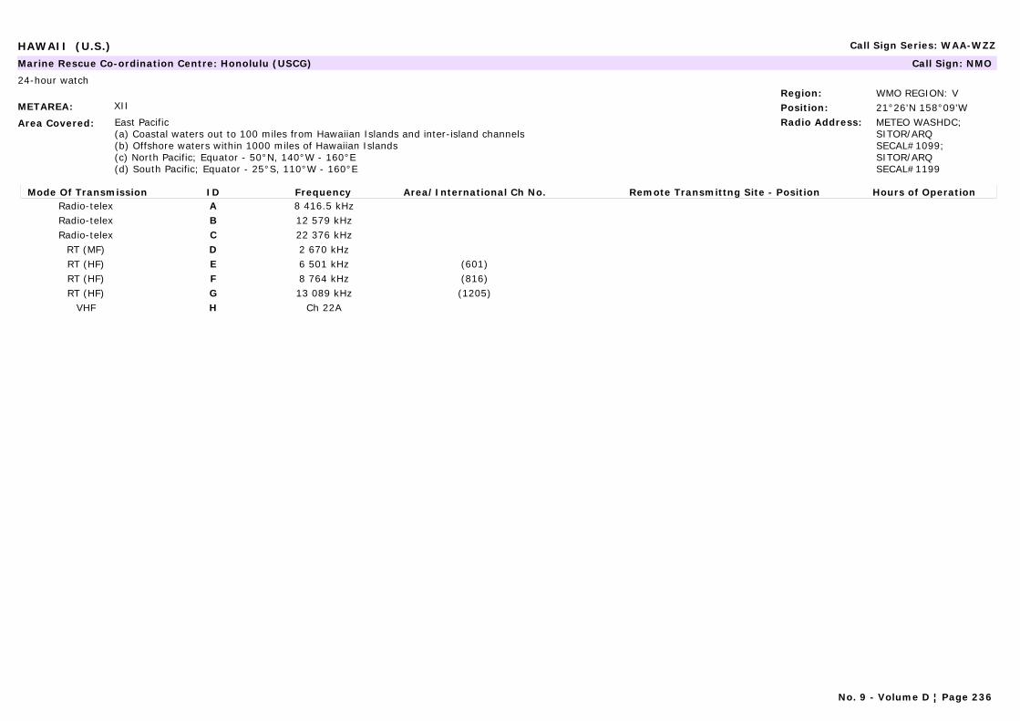
HAWAII (U.S.) Call Sign Series: WAA-WZZ
METAREA: XII
Area Covered: East Pacific(a) Coastal waters out to 100 miles from Hawaiian Islands and inter-island channels(b) Offshore waters within 1000 miles of Hawaiian Islands(c) North Pacific; Equator - 50°N, 140°W - 160°E(d) South Pacific; Equator - 25°S, 110°W - 160°E
Region: WMO REGION: VPosition: 21°26'N 158°09'WRadio Address: METEO WASHDC;
SITOR/ARQ SECAL#1099; SITOR/ARQ SECAL#1199
Marine Rescue Co-ordination Centre: Honolulu (USCG) Call Sign: NMO
24-hour watch
Mode Of Transmission ID Frequency Area/International Ch No. Remote Transmittng Site - Position Hours of OperationRadio-telex A 8 416.5 kHzRadio-telex B 12 579 kHzRadio-telex C 22 376 kHz
RT (MF) D 2 670 kHzRT (HF) E 6 501 kHz (601)RT (HF) F 8 764 kHz (816)RT (HF) G 13 089 kHz (1205)
VHF H Ch 22A
No. 9 - Volume D ¦ Page 236
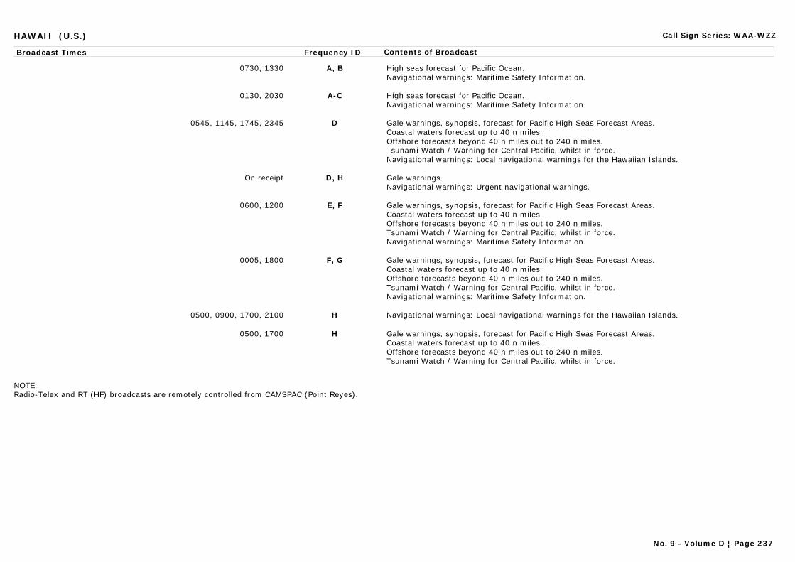
HAWAII (U.S.) Call Sign Series: WAA-WZZ
Broadcast Times Frequency ID Contents of Broadcast
0730, 1330 A, B High seas forecast for Pacific Ocean.Navigational warnings: Maritime Safety Information.
0130, 2030 A-C High seas forecast for Pacific Ocean.Navigational warnings: Maritime Safety Information.
0545, 1145, 1745, 2345 D Gale warnings, synopsis, forecast for Pacific High Seas Forecast Areas.Coastal waters forecast up to 40 n miles.Offshore forecasts beyond 40 n miles out to 240 n miles.Tsunami Watch / Warning for Central Pacific, whilst in force.Navigational warnings: Local navigational warnings for the Hawaiian Islands.
On receipt D, H Gale warnings.Navigational warnings: Urgent navigational warnings.
0600, 1200 E, F Gale warnings, synopsis, forecast for Pacific High Seas Forecast Areas.Coastal waters forecast up to 40 n miles.Offshore forecasts beyond 40 n miles out to 240 n miles.Tsunami Watch / Warning for Central Pacific, whilst in force.Navigational warnings: Maritime Safety Information.
0005, 1800 F, G Gale warnings, synopsis, forecast for Pacific High Seas Forecast Areas.Coastal waters forecast up to 40 n miles.Offshore forecasts beyond 40 n miles out to 240 n miles.Tsunami Watch / Warning for Central Pacific, whilst in force.Navigational warnings: Maritime Safety Information.
0500, 0900, 1700, 2100 H Navigational warnings: Local navigational warnings for the Hawaiian Islands.
0500, 1700 H Gale warnings, synopsis, forecast for Pacific High Seas Forecast Areas.Coastal waters forecast up to 40 n miles.Offshore forecasts beyond 40 n miles out to 240 n miles.Tsunami Watch / Warning for Central Pacific, whilst in force.
NOTE: Radio-Telex and RT (HF) broadcasts are remotely controlled from CAMSPAC (Point Reyes).
No. 9 - Volume D ¦ Page 237
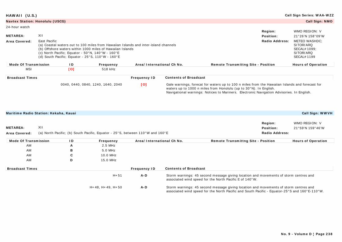
HAWAII (U.S.) Call Sign Series: WAA-WZZ
METAREA: XII
Area Covered: East Pacific(a) Coastal waters out to 100 miles from Hawaiian Islands and inter-island channels(b) Offshore waters within 1000 miles of Hawaiian Islands(c) North Pacific; Equator - 50°N, 140°W - 160°E(d) South Pacific; Equator - 25°S, 110°W - 160°E
Region: WMO REGION: VPosition: 21°26'N 158°09'WRadio Address: METEO WASHDC;
SITOR/ARQ SECAL#1099; SITOR/ARQ SECAL#1199
Navtex Station: Honolulu (USCG) Call Sign: NMO
24-hour watch
Mode Of Transmission ID Frequency Area/International Ch No. Remote Transmittng Site - Position Hours of OperationMSI [O] 518 kHz
Broadcast Times Frequency ID Contents of Broadcast
0040, 0440, 0840, 1240, 1640, 2040 [O] Gale warnings, forecat for waters up to 100 n miles from the Hawaiian Islands and forecast for waters up to 1000 n miles from Honolulu (up to 30°N). In English.Navigational warnings: Notices to Mariners. Electronic Navigation Advisories. In English.
METAREA: XII
Area Covered: (a) North Pacific; (b) South Pacific, Equator - 25°S, between 110°W and 160°E
Region: WMO REGION: VPosition: 21°59'N 159°46'WRadio Address:
Maritime Radio Station: Kekaha, Kauai Call Sign: WWVH
Mode Of Transmission ID Frequency Area/International Ch No. Remote Transmittng Site - Position Hours of OperationAM A 2.5 MHzAM B 5.0 MHzAM C 10.0 MHzAM D 15.0 MHz
Broadcast Times Frequency ID Contents of Broadcast
H+51 A-D Storm warnings: 45 second message giving location and movements of storm centres and associated wind speed for the North Pacific E of 140°W.
H+48, H+49, H+50 A-D Storm warnings: 45 second message giving location and movements of storm centres and associated wind speed for the North Pacific and South Pacific - Equator-25°S and 160°E-110°W.
No. 9 - Volume D ¦ Page 238
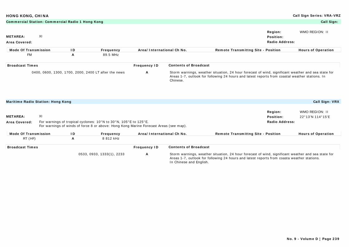
HONG KONG, CHINA Call Sign Series: VRA-VRZ
METAREA: XI
Area Covered:
Region: WMO REGION: IIPosition:Radio Address:
Commercial Station: Commercial Radio 1 Hong Kong Call Sign:
Mode Of Transmission ID Frequency Area/International Ch No. Remote Transmittng Site - Position Hours of OperationFM A 89.5 MHz
Broadcast Times Frequency ID Contents of Broadcast
0400, 0600, 1300, 1700, 2000, 2400 LT after the news A Storm warnings, weather situation, 24 hour forecast of wind, significant weather and sea state for Areas 1-7, outlook for following 24 hours and latest reports from coastal weather stations. In Chinese.
METAREA: XI
Area Covered: For warnings of tropical cyclones: 10°N to 30°N, 105°E to 125°E. For warnings of winds of force 8 or above: Hong Kong Marine Forecast Areas (see map).
Region: WMO REGION: IIPosition: 22°13'N 114°15'ERadio Address:
Maritime Radio Station: Hong Kong Call Sign: VRX
Mode Of Transmission ID Frequency Area/International Ch No. Remote Transmittng Site - Position Hours of OperationRT (HF) A 8 812 kHz
Broadcast Times Frequency ID Contents of Broadcast
0533, 0933, 1333(1), 2233 A Storm warnings, weather situation, 24 hour forecast of wind, significant weather and sea state for Areas 1-7, outlook for following 24 hours and latest reports from coasta weather stations.In Chinese and English.
No. 9 - Volume D ¦ Page 239

HONG KONG, CHINA Call Sign Series: VRA-VRZ
METAREA: XI
Area Covered: For warnings of tropical cyclones: 10°N to 30°N, 105°E to 125°E. For warnings of winds of force 8 or above: Hong Kong Marine Forecast Areas (see map).
Region: WMO REGION: IIPosition: 22°13'N 114°15'ERadio Address:
Navtex Station: Hong Kong Call Sign: VRX
Mode Of Transmission ID Frequency Area/International Ch No. Remote Transmittng Site - Position Hours of OperationMSI [L] 518 kHz
Broadcast Times Frequency ID Contents of Broadcast
On receipt [L] Warnings are issued whenever a tropical cyclone is located within the area 10°N-30°N, 105°E-125°E. Note: Warnings are repeated once in the next scheduled broadcast. In English.
0150, 0550, 0950, 1350, 1750, 2150 [L] Warnings of winds of force 8 or above. A synopsis of significant weather system within the sea area 10°N-30°N, 105°E-125°E. Forecast for 24 hours from 0100/1300 for Hong Kong Marine Forecast Areas. In English.
No. 9 - Volume D ¦ Page 240
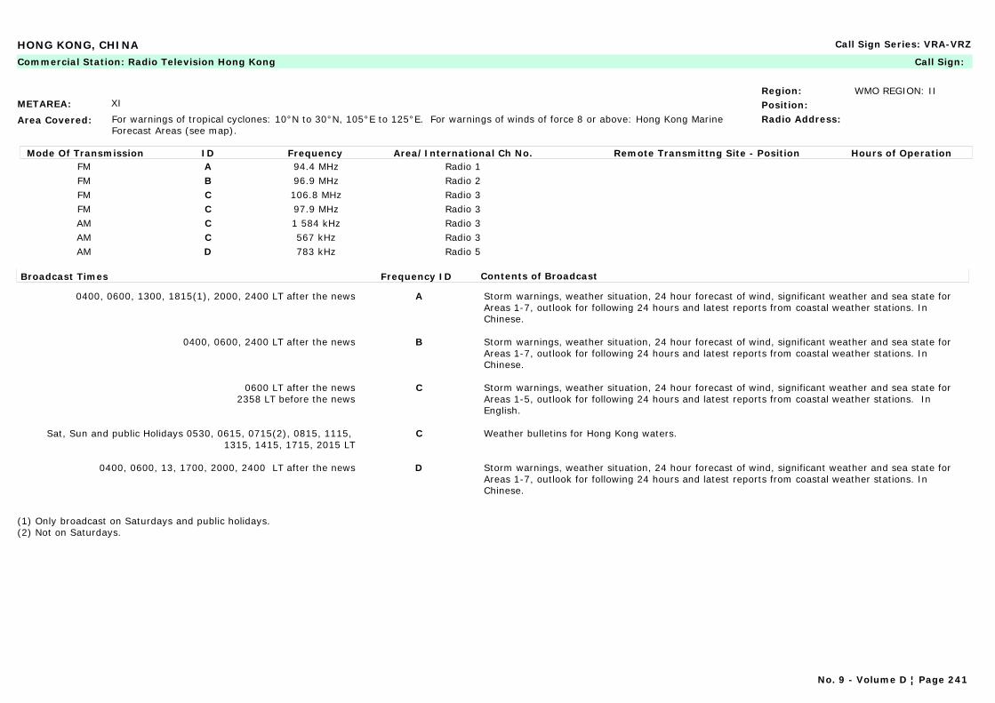
HONG KONG, CHINA Call Sign Series: VRA-VRZ
METAREA: XI
Area Covered: For warnings of tropical cyclones: 10°N to 30°N, 105°E to 125°E. For warnings of winds of force 8 or above: Hong Kong Marine Forecast Areas (see map).
Region: WMO REGION: IIPosition:Radio Address:
Commercial Station: Radio Television Hong Kong Call Sign:
Mode Of Transmission ID Frequency Area/International Ch No. Remote Transmittng Site - Position Hours of OperationFM A 94.4 MHz Radio 1FM B 96.9 MHz Radio 2FM C 106.8 MHz Radio 3FM C 97.9 MHz Radio 3AM C 1 584 kHz Radio 3AM C 567 kHz Radio 3AM D 783 kHz Radio 5
Broadcast Times Frequency ID Contents of Broadcast
0400, 0600, 1300, 1815(1), 2000, 2400 LT after the news A Storm warnings, weather situation, 24 hour forecast of wind, significant weather and sea state for Areas 1-7, outlook for following 24 hours and latest reports from coastal weather stations. In Chinese.
0400, 0600, 2400 LT after the news B Storm warnings, weather situation, 24 hour forecast of wind, significant weather and sea state for Areas 1-7, outlook for following 24 hours and latest reports from coastal weather stations. In Chinese.
0600 LT after the news2358 LT before the news
C Storm warnings, weather situation, 24 hour forecast of wind, significant weather and sea state for Areas 1-5, outlook for following 24 hours and latest reports from coastal weather stations. In English.
Sat, Sun and public Holidays 0530, 0615, 0715(2), 0815, 1115, 1315, 1415, 1715, 2015 LT
C Weather bulletins for Hong Kong waters.
0400, 0600, 13, 1700, 2000, 2400 LT after the news D Storm warnings, weather situation, 24 hour forecast of wind, significant weather and sea state for Areas 1-7, outlook for following 24 hours and latest reports from coastal weather stations. In Chinese.
(1) Only broadcast on Saturdays and public holidays.(2) Not on Saturdays.
No. 9 - Volume D ¦ Page 241
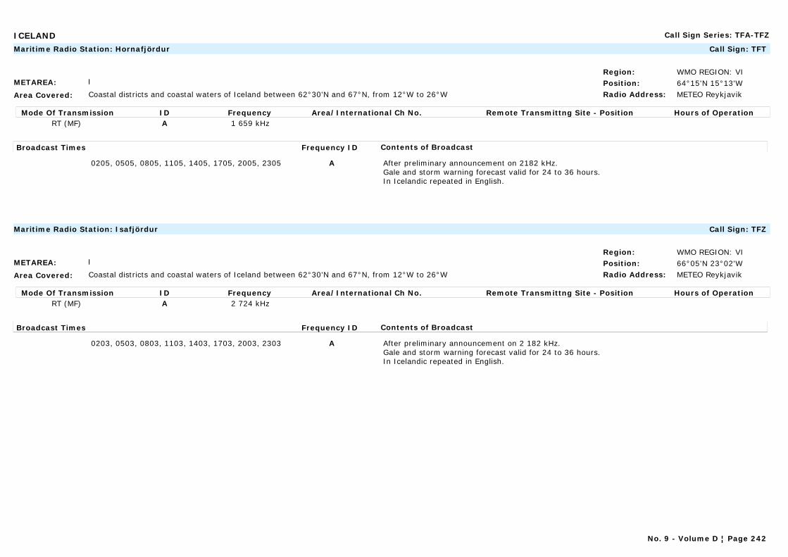
ICELAND Call Sign Series: TFA-TFZ
METAREA: I
Area Covered: Coastal districts and coastal waters of Iceland between 62°30'N and 67°N, from 12°W to 26°W
Region: WMO REGION: VIPosition: 64°15'N 15°13'WRadio Address: METEO Reykjavik
Maritime Radio Station: Hornafjördur Call Sign: TFT
Mode Of Transmission ID Frequency Area/International Ch No. Remote Transmittng Site - Position Hours of OperationRT (MF) A 1 659 kHz
Broadcast Times Frequency ID Contents of Broadcast
0205, 0505, 0805, 1105, 1405, 1705, 2005, 2305 A After preliminary announcement on 2182 kHz.Gale and storm warning forecast valid for 24 to 36 hours.In Icelandic repeated in English.
METAREA: I
Area Covered: Coastal districts and coastal waters of Iceland between 62°30'N and 67°N, from 12°W to 26°W
Region: WMO REGION: VIPosition: 66°05'N 23°02'WRadio Address: METEO Reykjavik
Maritime Radio Station: Isafjördur Call Sign: TFZ
Mode Of Transmission ID Frequency Area/International Ch No. Remote Transmittng Site - Position Hours of OperationRT (MF) A 2 724 kHz
Broadcast Times Frequency ID Contents of Broadcast
0203, 0503, 0803, 1103, 1403, 1703, 2003, 2303 A After preliminary announcement on 2 182 kHz.Gale and storm warning forecast valid for 24 to 36 hours.In Icelandic repeated in English.
No. 9 - Volume D ¦ Page 242
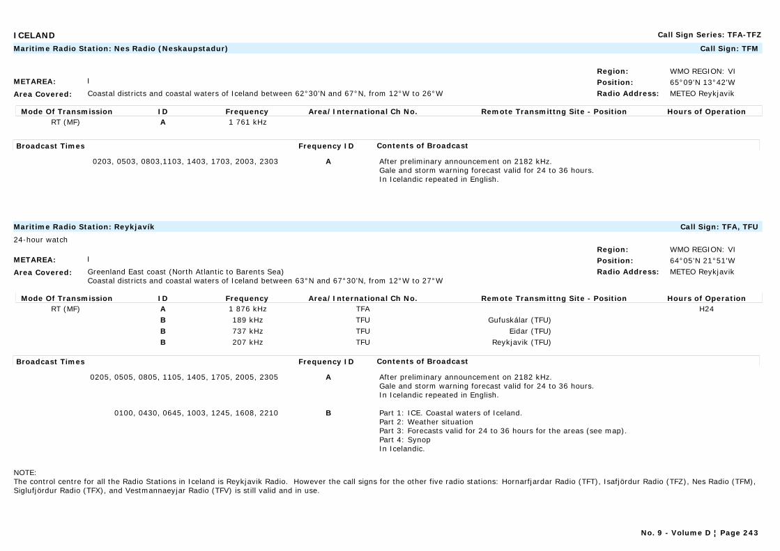
ICELAND Call Sign Series: TFA-TFZ
METAREA: I
Area Covered: Coastal districts and coastal waters of Iceland between 62°30'N and 67°N, from 12°W to 26°W
Region: WMO REGION: VIPosition: 65°09'N 13°42'WRadio Address: METEO Reykjavik
Maritime Radio Station: Nes Radio (Neskaupstadur) Call Sign: TFM
Mode Of Transmission ID Frequency Area/International Ch No. Remote Transmittng Site - Position Hours of OperationRT (MF) A 1 761 kHz
Broadcast Times Frequency ID Contents of Broadcast
0203, 0503, 0803,1103, 1403, 1703, 2003, 2303 A After preliminary announcement on 2182 kHz.Gale and storm warning forecast valid for 24 to 36 hours.In Icelandic repeated in English.
METAREA: I
Area Covered: Greenland East coast (North Atlantic to Barents Sea) Coastal districts and coastal waters of Iceland between 63°N and 67°30'N, from 12°W to 27°W
Region: WMO REGION: VIPosition: 64°05'N 21°51'WRadio Address: METEO Reykjavik
Maritime Radio Station: Reykjavík Call Sign: TFA, TFU
24-hour watch
Mode Of Transmission ID Frequency Area/International Ch No. Remote Transmittng Site - Position Hours of OperationRT (MF) A 1 876 kHz TFA H24
B 189 kHz TFU Gufuskálar (TFU)B 737 kHz TFU Eidar (TFU)B 207 kHz TFU Reykjavik (TFU)
Broadcast Times Frequency ID Contents of Broadcast
0205, 0505, 0805, 1105, 1405, 1705, 2005, 2305 A After preliminary announcement on 2182 kHz.Gale and storm warning forecast valid for 24 to 36 hours.In Icelandic repeated in English.
0100, 0430, 0645, 1003, 1245, 1608, 2210 B Part 1: ICE. Coastal waters of Iceland.Part 2: Weather situationPart 3: Forecasts valid for 24 to 36 hours for the areas (see map).Part 4: SynopIn Icelandic.
NOTE:The control centre for all the Radio Stations in Iceland is Reykjavik Radio. However the call signs for the other five radio stations: Hornarfjardar Radio (TFT), Isafjördur Radio (TFZ), Nes Radio (TFM), Siglufjördur Radio (TFX), and Vestmannaeyjar Radio (TFV) is still valid and in use.
No. 9 - Volume D ¦ Page 243
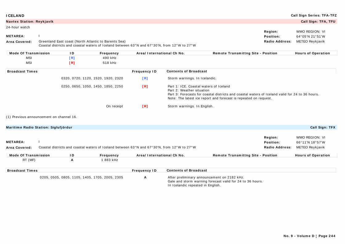
ICELAND Call Sign Series: TFA-TFZ
METAREA: I
Area Covered: Greenland East coast (North Atlantic to Barents Sea) Coastal districts and coastal waters of Iceland between 63°N and 67°30'N, from 12°W to 27°W
Region: WMO REGION: VIPosition: 64°05'N 21°51'WRadio Address: METEO Reykjavik
Navtex Station: Reykjavík Call Sign: TFA, TFU
24-hour watch
Mode Of Transmission ID Frequency Area/International Ch No. Remote Transmittng Site - Position Hours of OperationMSI [R] 490 kHzMSI [R] 518 kHz
Broadcast Times Frequency ID Contents of Broadcast
0320, 0720, 1120, 1520, 1920, 2320 [R] Storm warnings. In Icelandic.
0250, 0650, 1050, 1450, 1850, 2250 [R] Part 1: ICE. Coastal waters of IcelandPart 2: Weather situationPart 3: Forecasts for coastal districts and coastal waters of Iceland valid for 24 to 36 hours. Note: The latest ice report and forecast is repeated on request.
On receipt [R] Storm warnings. In English.
(1) Previous announcement on channel 16.
METAREA: I
Area Covered: Coastal districts and coastal waters of Iceland between 63°N and 67°30'N, from 12°W to 27°W
Region: WMO REGION: VIPosition: 66°11'N 18°57'WRadio Address: METEO Reykjavik
Maritime Radio Station: Siglufjördur Call Sign: TFX
Mode Of Transmission ID Frequency Area/International Ch No. Remote Transmittng Site - Position Hours of OperationRT (MF) A 1 883 kHz
Broadcast Times Frequency ID Contents of Broadcast
0205, 0505, 0805, 1105, 1405, 1705, 2005, 2305 A After preliminary announcement on 2182 kHz.Gale and storm warning forecast valid for 24 to 36 hours.In Icelandic repeated in English.
No. 9 - Volume D ¦ Page 244

ICELAND Call Sign Series: TFA-TFZ
METAREA: I
Area Covered: Coastal districts and coastal waters of Iceland between 63°N and 67°30'N, from 12°W to 27°W
Region: WMO REGION: VIPosition: 63°24'N 20°17'WRadio Address: METEO Reykjavik
Maritime Radio Station: Vestmannaeyjar Call Sign: TFV
Mode Of Transmission ID Frequency Area/International Ch No. Remote Transmittng Site - Position Hours of OperationRT (MF) A 1 713 kHz
Broadcast Times Frequency ID Contents of Broadcast
0203, 0503, 0803, 1103, 1403, 1703, 2003, 2303 A After preliminary announcement on 2182 kHz.Gale and storm warning forecast valid for 24 to 36 hours.In Icelandic repeated in English.
No. 9 - Volume D ¦ Page 245

INDIA Call Sign Series: VTA-VWZ
METAREA: VIII(N)
Area Covered: Indian Ocean/Arab.Gulf/Red SeaSea areas within the Asian coast and the line 24°N 68°E to 20°N 68°E to 20°N 60°E to 5°N 60°E to 5°N 95°E to 10°N 95°E to 10°N 94°E to 13°30'N 94°E to 13°30'N 92°E to 18°N 92°E to 18°N 94°30'E.
Region: WMO REGION: IIPosition: 13°05'N 80°17'ERadio Address:
Maritime Radio Station: Chennai (Madras) Call Sign: VWM
Mode Of Transmission ID Frequency Area/International Ch No. Remote Transmittng Site - Position Hours of OperationWT (MF) A 515 kHz 13°05'N 80°17'E
Broadcast Times Frequency ID Contents of Broadcast
On receipt0548, 1548On request
A Navigational warning for the ara within 250 n miles of Chennai (Madras) to 15°N including Palk Strait. In English.
METAREA: VIII(N)
Area Covered: Indian Ocean/Arab.Gulf/Red SeaSea areas within the Asian coast and the line 24°N 68°E to 20°N 68°E to 20°N 60°E to 5°N 60°E to 5°N 95°E to 10°N 95°E to 10°N 94°E to 13°30'N 94°E to 13°30'N 92°E to 18°N 92°E to 18°N 94°30'E.
Region: WMO REGION: IIPosition: 13°05'N 80°17'ERadio Address:
Navtex Station: Chennai (Madras) Call Sign: VWM
Mode Of Transmission ID Frequency Area/International Ch No. Remote Transmittng Site - Position Hours of OperationMSI [P] 518 kHz
Broadcast Times Frequency ID Contents of Broadcast
0230, 1030 [P] Navigational warnings: For the Bay of Bengal coast. In English.
0630, 1830 [P] Forecast and sometimes balloon observations for Bay of Bengal and coastal areas 13, 14. In English.
No. 9 - Volume D ¦ Page 246
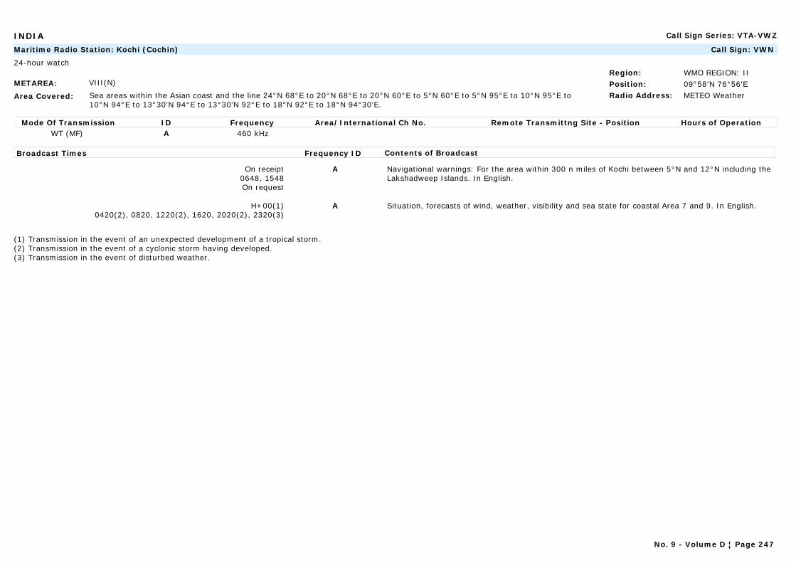
INDIA Call Sign Series: VTA-VWZ
METAREA: VIII(N)
Area Covered: Sea areas within the Asian coast and the line 24°N 68°E to 20°N 68°E to 20°N 60°E to 5°N 60°E to 5°N 95°E to 10°N 95°E to 10°N 94°E to 13°30'N 94°E to 13°30'N 92°E to 18°N 92°E to 18°N 94°30'E.
Region: WMO REGION: IIPosition: 09°58'N 76°56'ERadio Address: METEO Weather
Maritime Radio Station: Kochi (Cochin) Call Sign: VWN
24-hour watch
Mode Of Transmission ID Frequency Area/International Ch No. Remote Transmittng Site - Position Hours of OperationWT (MF) A 460 kHz
Broadcast Times Frequency ID Contents of Broadcast
On receipt0648, 1548On request
A Navigational warnings: For the area within 300 n miles of Kochi between 5°N and 12°N including the Lakshadweep Islands. In English.
H+00(1)0420(2), 0820, 1220(2), 1620, 2020(2), 2320(3)
A Situation, forecasts of wind, weather, visibility and sea state for coastal Area 7 and 9. In English.
(1) Transmission in the event of an unexpected development of a tropical storm.(2) Transmission in the event of a cyclonic storm having developed.(3) Transmission in the event of disturbed weather.
No. 9 - Volume D ¦ Page 247
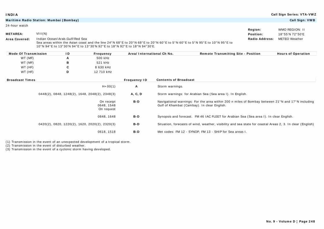
INDIA Call Sign Series: VTA-VWZ
METAREA: VIII(N)
Area Covered: Indian Ocean/Arab.Gulf/Red SeaSea areas within the Asian coast and the line 24°N 68°E to 20°N 68°E to 20°N 60°E to 5°N 60°E to 5°N 95°E to 10°N 95°E to 10°N 94°E to 13°30'N 94°E to 13°30'N 92°E to 18°N 92°E to 18°N 94°30'E.
Region: WMO REGION: IIPosition: 18°55'N 72°50'ERadio Address: METEO Weather
Maritime Radio Station: Mumbai (Bombay) Call Sign: VWB
24-hour watch
Mode Of Transmission ID Frequency Area/International Ch No. Remote Transmittng Site - Position Hours of OperationWT (MF) A 500 kHzWT (MF) B 521 kHzWT (HF) C 8 630 kHzWT (HF) D 12 710 kHz
Broadcast Times Frequency ID Contents of Broadcast
H+00(1) A Storm warnings.
0448(2), 0848, 1248(2), 1648, 2048(2), 2348(3) A, C, D Storm warnings: for Arabian Sea (Sea area I). In English.
On receipt0648, 1548On request
B-D Navigational warnings: For the area within 200 n miles of Bombay between 21°N and 17°N including Gulf of Khambat (Cambay). In clear English.
0848, 1648 B-D Synopsis and forecast. FM 46 IAC FLEET for Arabian Sea (Sea area I). In clear English.
0420(2), 0820, 1220(2), 1620, 2020(2), 2320(3) B-D Situation, forecasts of wind, weather, visibility and sea state for coastal Areas 2, 3. In clear (English)
0618, 1518 B-D Met codes: FM 12 - SYNOP, FM 13 - SHIP for Sea areas I.
(1) Transmission in the event of an unexpected development of a tropical storm.(2) Transmission in the event of disturbed weather.(3) Transmission in the event of a cyclonic storm having developed.
No. 9 - Volume D ¦ Page 248
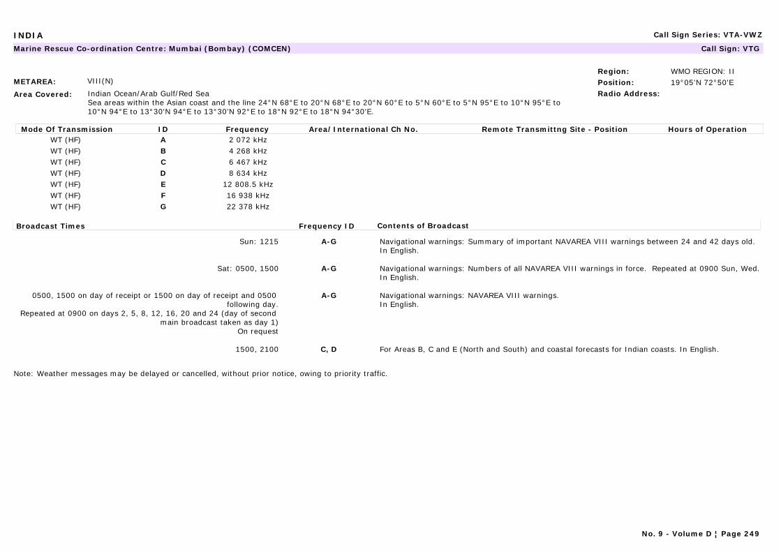
INDIA Call Sign Series: VTA-VWZ
METAREA: VIII(N)
Area Covered: Indian Ocean/Arab Gulf/Red SeaSea areas within the Asian coast and the line 24°N 68°E to 20°N 68°E to 20°N 60°E to 5°N 60°E to 5°N 95°E to 10°N 95°E to 10°N 94°E to 13°30'N 94°E to 13°30'N 92°E to 18°N 92°E to 18°N 94°30'E.
Region: WMO REGION: IIPosition: 19°05'N 72°50'ERadio Address:
Marine Rescue Co-ordination Centre: Mumbai (Bombay) (COMCEN) Call Sign: VTG
Mode Of Transmission ID Frequency Area/International Ch No. Remote Transmittng Site - Position Hours of OperationWT (HF) A 2 072 kHzWT (HF) B 4 268 kHzWT (HF) C 6 467 kHzWT (HF) D 8 634 kHzWT (HF) E 12 808.5 kHzWT (HF) F 16 938 kHzWT (HF) G 22 378 kHz
Broadcast Times Frequency ID Contents of Broadcast
Sun: 1215 A-G Navigational warnings: Summary of important NAVAREA VIII warnings between 24 and 42 days old.In English.
Sat: 0500, 1500 A-G Navigational warnings: Numbers of all NAVAREA VIII warnings in force. Repeated at 0900 Sun, Wed.In English.
0500, 1500 on day of receipt or 1500 on day of receipt and 0500 following day.
Repeated at 0900 on days 2, 5, 8, 12, 16, 20 and 24 (day of second main broadcast taken as day 1)
On request
A-G Navigational warnings: NAVAREA VIII warnings.In English.
1500, 2100 C, D For Areas B, C and E (North and South) and coastal forecasts for Indian coasts. In English.
Note: Weather messages may be delayed or cancelled, without prior notice, owing to priority traffic.
No. 9 - Volume D ¦ Page 249
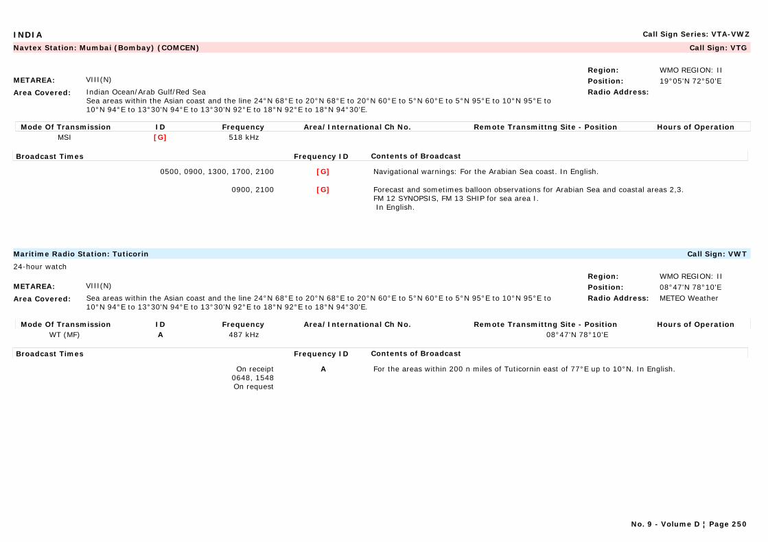
INDIA Call Sign Series: VTA-VWZ
METAREA: VIII(N)
Area Covered: Indian Ocean/Arab Gulf/Red SeaSea areas within the Asian coast and the line 24°N 68°E to 20°N 68°E to 20°N 60°E to 5°N 60°E to 5°N 95°E to 10°N 95°E to 10°N 94°E to 13°30'N 94°E to 13°30'N 92°E to 18°N 92°E to 18°N 94°30'E.
Region: WMO REGION: IIPosition: 19°05'N 72°50'ERadio Address:
Navtex Station: Mumbai (Bombay) (COMCEN) Call Sign: VTG
Mode Of Transmission ID Frequency Area/International Ch No. Remote Transmittng Site - Position Hours of OperationMSI [G] 518 kHz
Broadcast Times Frequency ID Contents of Broadcast
0500, 0900, 1300, 1700, 2100 [G] Navigational warnings: For the Arabian Sea coast. In English.
0900, 2100 [G] Forecast and sometimes balloon observations for Arabian Sea and coastal areas 2,3. FM 12 SYNOPSIS, FM 13 SHIP for sea area I. In English.
METAREA: VIII(N)
Area Covered: Sea areas within the Asian coast and the line 24°N 68°E to 20°N 68°E to 20°N 60°E to 5°N 60°E to 5°N 95°E to 10°N 95°E to 10°N 94°E to 13°30'N 94°E to 13°30'N 92°E to 18°N 92°E to 18°N 94°30'E.
Region: WMO REGION: IIPosition: 08°47'N 78°10'ERadio Address: METEO Weather
Maritime Radio Station: Tuticorin Call Sign: VWT
24-hour watch
Mode Of Transmission ID Frequency Area/International Ch No. Remote Transmittng Site - Position Hours of OperationWT (MF) A 487 kHz 08°47'N 78°10'E
Broadcast Times Frequency ID Contents of Broadcast
On receipt0648, 1548On request
A For the areas within 200 n miles of Tuticornin east of 77°E up to 10°N. In English.
No. 9 - Volume D ¦ Page 250
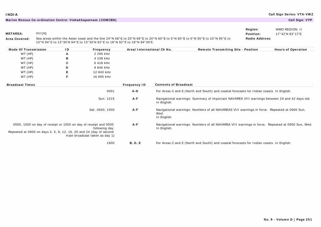
INDIA Call Sign Series: VTA-VWZ
METAREA: VIII(N)
Area Covered: Sea areas within the Asian coast and the line 24°N 68°E to 20°N 68°E to 20°N 60°E to 5°N 60°E to 5°N 95°E to 10°N 95°E to 10°N 94°E to 13°30'N 94°E to 13°30'N 92°E to 18°N 92°E to 18°N 94°30'E.
Region: WMO REGION: IIPosition: 17°42'N 83°17'ERadio Address:
Marine Rescue Co-ordination Centre: Vishakhapatnam (COMCEN) Call Sign: VTP
Mode Of Transmission ID Frequency Area/International Ch No. Remote Transmittng Site - Position Hours of OperationWT (HF) A 2 295 kHzWT (HF) B 4 238 kHzWT (HF) C 6 418 kHzWT (HF) D 8 646 kHzWT (HF) E 12 840 kHzWT (HF) F 16 695 kHz
Broadcast Times Frequency ID Contents of Broadcast
0001 A-D For Areas C and E (North and South) and coastal forecasts for Indian coasts. In English.
Sun: 1215 A-F Navigational warnings: Summary of important NAVAREA VIII warnings between 24 and 42 days old.In English.
Sat: 0500, 1500 A-F Navigational warnings: Numbers of all NAVAREAS VIII warnings in force. Repeated at 0900 Sun, Wed.In English.
0500, 1500 on day of receipt or 1500 on day of receipt and 0500 following day.
Repeated at 0900 on days 2, 5, 8, 12, 16, 20 and 24 (day of second main broadcast taken as day 1)
A-F Navigational warnings: Numbers of all NAVAREA VIII warnings in force. Repeated at 0900 Sun, Wed.In English.
1600 B, D, E For Areas C and E (North and South) and coastal forecasts for Indian coasts. In English.
No. 9 - Volume D ¦ Page 251
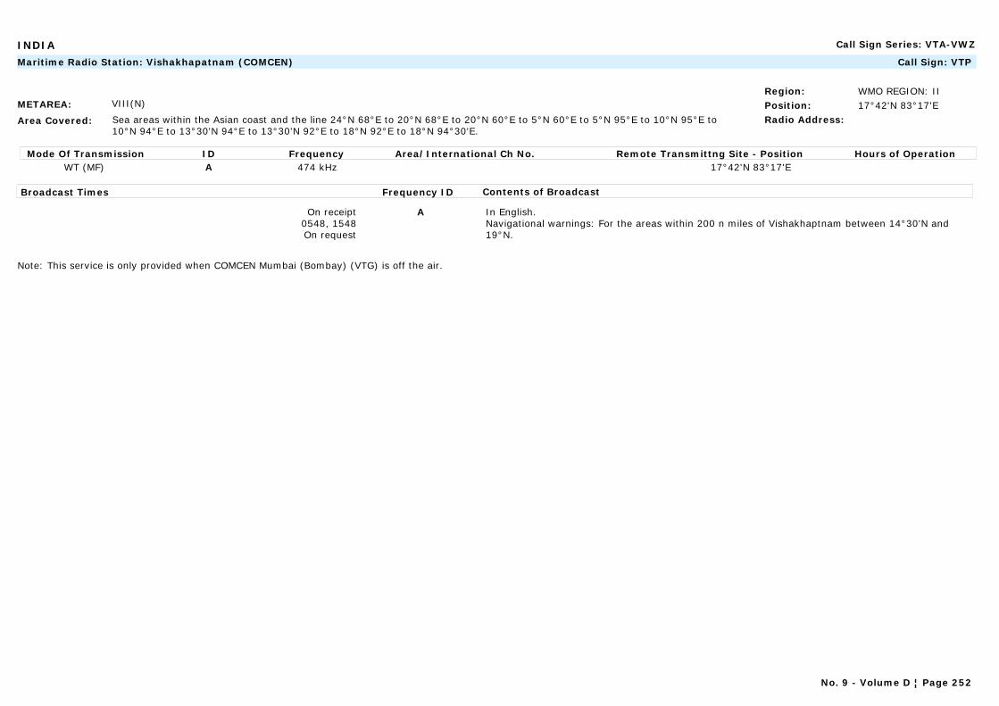
INDIA Call Sign Series: VTA-VWZ
METAREA: VIII(N)
Area Covered: Sea areas within the Asian coast and the line 24°N 68°E to 20°N 68°E to 20°N 60°E to 5°N 60°E to 5°N 95°E to 10°N 95°E to 10°N 94°E to 13°30'N 94°E to 13°30'N 92°E to 18°N 92°E to 18°N 94°30'E.
Region: WMO REGION: IIPosition: 17°42'N 83°17'ERadio Address:
Maritime Radio Station: Vishakhapatnam (COMCEN) Call Sign: VTP
Mode Of Transmission ID Frequency Area/International Ch No. Remote Transmittng Site - Position Hours of OperationWT (MF) A 474 kHz 17°42'N 83°17'E
Broadcast Times Frequency ID Contents of Broadcast
On receipt0548, 1548On request
A In English.Navigational warnings: For the areas within 200 n miles of Vishakhaptnam between 14°30'N and 19°N.
Note: This service is only provided when COMCEN Mumbai (Bombay) (VTG) is off the air.
No. 9 - Volume D ¦ Page 252
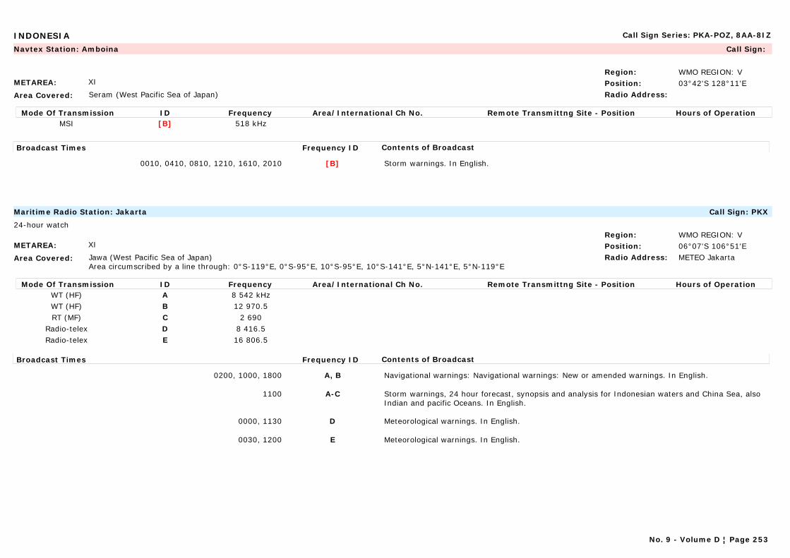
INDONESIA Call Sign Series: PKA-POZ, 8AA-8IZ
METAREA: XI
Area Covered: Seram (West Pacific Sea of Japan)
Region: WMO REGION: VPosition: 03°42'S 128°11'ERadio Address:
Navtex Station: Amboina Call Sign:
Mode Of Transmission ID Frequency Area/International Ch No. Remote Transmittng Site - Position Hours of OperationMSI [B] 518 kHz
Broadcast Times Frequency ID Contents of Broadcast
0010, 0410, 0810, 1210, 1610, 2010 [B] Storm warnings. In English.
METAREA: XI
Area Covered: Jawa (West Pacific Sea of Japan)Area circumscribed by a line through: 0°S-119°E, 0°S-95°E, 10°S-95°E, 10°S-141°E, 5°N-141°E, 5°N-119°E
Region: WMO REGION: VPosition: 06°07'S 106°51'ERadio Address: METEO Jakarta
Maritime Radio Station: Jakarta Call Sign: PKX
24-hour watch
Mode Of Transmission ID Frequency Area/International Ch No. Remote Transmittng Site - Position Hours of OperationWT (HF) A 8 542 kHzWT (HF) B 12 970.5RT (MF) C 2 690
Radio-telex D 8 416.5Radio-telex E 16 806.5
Broadcast Times Frequency ID Contents of Broadcast
0200, 1000, 1800 A, B Navigational warnings: Navigational warnings: New or amended warnings. In English.
1100 A-C Storm warnings, 24 hour forecast, synopsis and analysis for Indonesian waters and China Sea, also Indian and pacific Oceans. In English.
0000, 1130 D Meteorological warnings. In English.
0030, 1200 E Meteorological warnings. In English.
No. 9 - Volume D ¦ Page 253

INDONESIA Call Sign Series: PKA-POZ, 8AA-8IZ
METAREA: XI
Area Covered: Jawa (West Pacific Sea of Japan)
Region: WMO REGION: VPosition: 06°07'S 106°51'ERadio Address:
Navtex Station: Jakarta Call Sign:
Mode Of Transmission ID Frequency Area/International Ch No. Remote Transmittng Site - Position Hours of OperationMSI [E] 518 kHz
Broadcast Times Frequency ID Contents of Broadcast
0040, 0440, 0840, 1240, 1640, 2040 [E] Storm warnings, 24 hour forecast, synopsis and analysis for indonesian waters and China Sea. In English.
METAREA: XI
Area Covered: Papua (West Pacific Sea of Japan)
Region: WMO REGION: VPosition: 2°31'S 140°43'ERadio Address:
Navtex Station: Jayapura Call Sign:
Mode Of Transmission ID Frequency Area/International Ch No. Remote Transmittng Site - Position Hours of OperationMSI [A] 518 kHz
Broadcast Times Frequency ID Contents of Broadcast
0000, 0400, 0800, 1200, 1600, 2000 [A] Storm warnings. In English.
No. 9 - Volume D ¦ Page 254
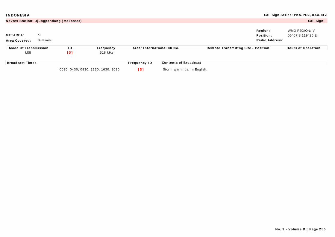
INDONESIA Call Sign Series: PKA-POZ, 8AA-8IZ
METAREA: XI
Area Covered: Sulawesi
Region: WMO REGION: VPosition: 05°07'S 119°26'ERadio Address:
Navtex Station: Ujungpandang (Makassar) Call Sign:
Mode Of Transmission ID Frequency Area/International Ch No. Remote Transmittng Site - Position Hours of OperationMSI [D] 518 kHz
Broadcast Times Frequency ID Contents of Broadcast
0030, 0430, 0830, 1230, 1630, 2030 [D] Storm warnings. In English.
No. 9 - Volume D ¦ Page 255
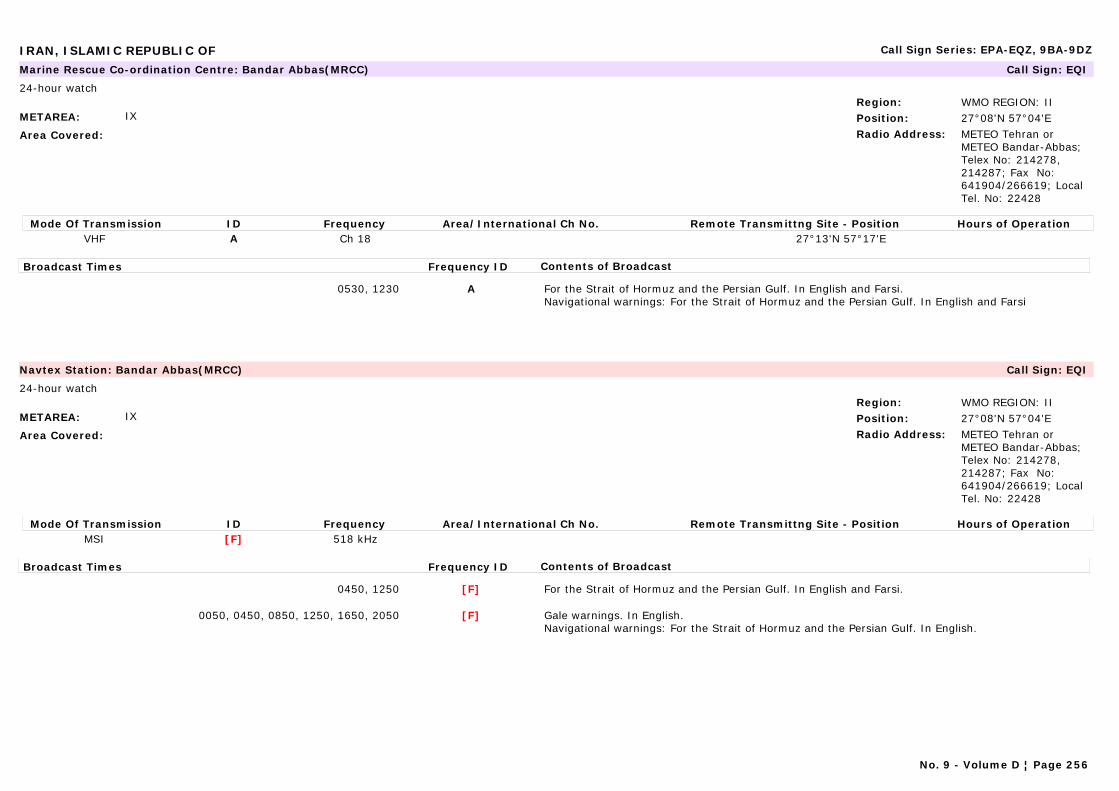
IRAN, ISLAMIC REPUBLIC OF Call Sign Series: EPA-EQZ, 9BA-9DZ
METAREA: IX
Area Covered:
Region: WMO REGION: IIPosition: 27°08'N 57°04'ERadio Address: METEO Tehran or
METEO Bandar-Abbas; Telex No: 214278, 214287; Fax No: 641904/266619; Local Tel. No: 22428
Marine Rescue Co-ordination Centre: Bandar Abbas(MRCC) Call Sign: EQI
24-hour watch
Mode Of Transmission ID Frequency Area/International Ch No. Remote Transmittng Site - Position Hours of OperationVHF A Ch 18 27°13'N 57°17'E
Broadcast Times Frequency ID Contents of Broadcast
0530, 1230 A For the Strait of Hormuz and the Persian Gulf. In English and Farsi.Navigational warnings: For the Strait of Hormuz and the Persian Gulf. In English and Farsi
METAREA: IX
Area Covered:
Region: WMO REGION: IIPosition: 27°08'N 57°04'ERadio Address: METEO Tehran or
METEO Bandar-Abbas; Telex No: 214278, 214287; Fax No: 641904/266619; Local Tel. No: 22428
Navtex Station: Bandar Abbas(MRCC) Call Sign: EQI
24-hour watch
Mode Of Transmission ID Frequency Area/International Ch No. Remote Transmittng Site - Position Hours of OperationMSI [F] 518 kHz
Broadcast Times Frequency ID Contents of Broadcast
0450, 1250 [F] For the Strait of Hormuz and the Persian Gulf. In English and Farsi.
0050, 0450, 0850, 1250, 1650, 2050 [F] Gale warnings. In English.Navigational warnings: For the Strait of Hormuz and the Persian Gulf. In English.
No. 9 - Volume D ¦ Page 256
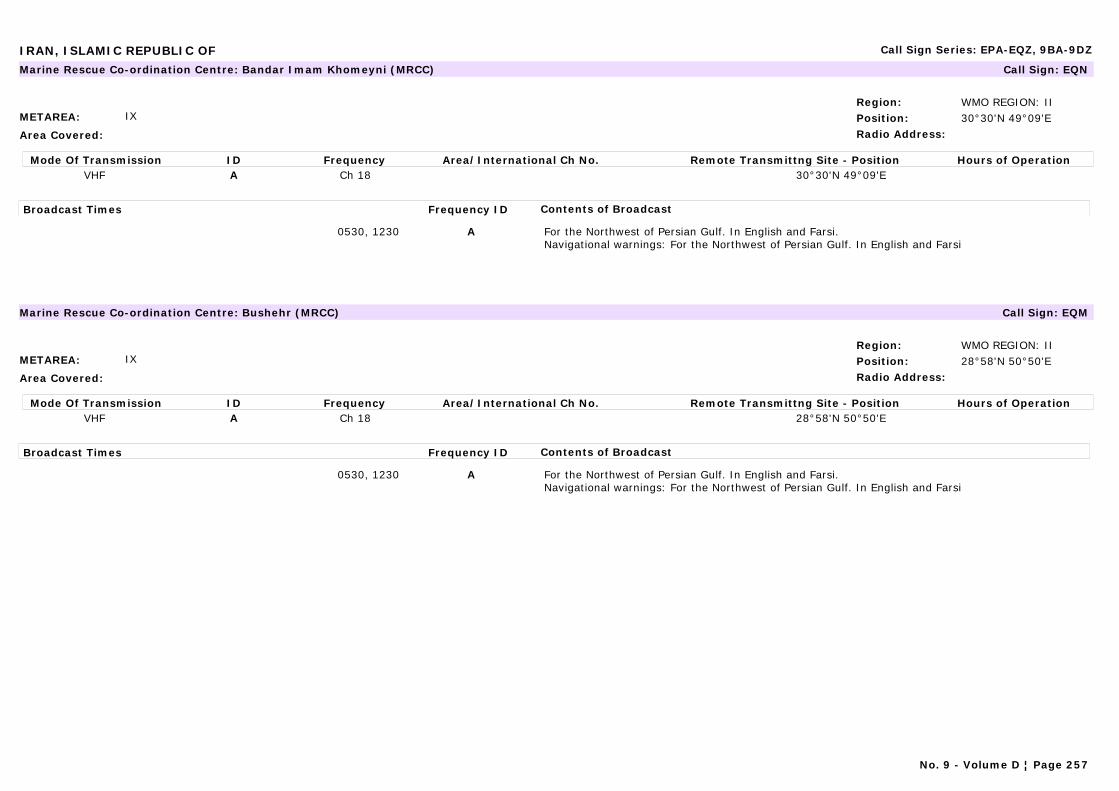
IRAN, ISLAMIC REPUBLIC OF Call Sign Series: EPA-EQZ, 9BA-9DZ
METAREA: IX
Area Covered:
Region: WMO REGION: IIPosition: 30°30'N 49°09'ERadio Address:
Marine Rescue Co-ordination Centre: Bandar Imam Khomeyni (MRCC) Call Sign: EQN
Mode Of Transmission ID Frequency Area/International Ch No. Remote Transmittng Site - Position Hours of OperationVHF A Ch 18 30°30'N 49°09'E
Broadcast Times Frequency ID Contents of Broadcast
0530, 1230 A For the Northwest of Persian Gulf. In English and Farsi.Navigational warnings: For the Northwest of Persian Gulf. In English and Farsi
METAREA: IX
Area Covered:
Region: WMO REGION: IIPosition: 28°58'N 50°50'ERadio Address:
Marine Rescue Co-ordination Centre: Bushehr (MRCC) Call Sign: EQM
Mode Of Transmission ID Frequency Area/International Ch No. Remote Transmittng Site - Position Hours of OperationVHF A Ch 18 28°58'N 50°50'E
Broadcast Times Frequency ID Contents of Broadcast
0530, 1230 A For the Northwest of Persian Gulf. In English and Farsi.Navigational warnings: For the Northwest of Persian Gulf. In English and Farsi
No. 9 - Volume D ¦ Page 257
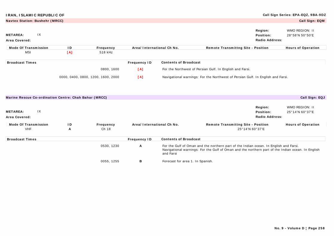
IRAN, ISLAMIC REPUBLIC OF Call Sign Series: EPA-EQZ, 9BA-9DZ
METAREA: IX
Area Covered:
Region: WMO REGION: IIPosition: 28°58'N 50°50'ERadio Address:
Navtex Station: Bushehr (MRCC) Call Sign: EQM
Mode Of Transmission ID Frequency Area/International Ch No. Remote Transmittng Site - Position Hours of OperationMSI [A] 518 kHz
Broadcast Times Frequency ID Contents of Broadcast
0800, 1600 [A] For the Northwest of Persian Gulf. In English and Farsi.
0000, 0400, 0800, 1200, 1600, 2000 [A] Navigational warnings: For the Northwest of Persian Gulf. In English and Farsi.
METAREA: IX
Area Covered:
Region: WMO REGION: IIPosition: 25°14'N 60°37'ERadio Address:
Marine Rescue Co-ordination Centre: Chah Bahar (MRCC) Call Sign: EQJ
Mode Of Transmission ID Frequency Area/International Ch No. Remote Transmittng Site - Position Hours of OperationVHF A Ch 18 25°14'N 60°37'E
Broadcast Times Frequency ID Contents of Broadcast
0530, 1230 A For the Gulf of Oman and the northern part of the Indian ocean. In English and Farsi.Navigational warnings: For the Gulf of Oman and the northern part of the Indian ocean. In English and Farsi
0055, 1255 B Forecast for area 1. In Spanish.
No. 9 - Volume D ¦ Page 258

IRELAND Call Sign Series: EIA-EJZ
METAREA: I
Area Covered: Irish coastal waters
Region: WMO REGION: VIPosition: 52°23'N 06°04'WRadio Address: METEO Dublin
Marine Rescue Co-ordination Centre: Dublin (MRCC) Call Sign:
24-hour watch
Mode Of Transmission ID Frequency Area/International Ch No. Remote Transmittng Site - Position Hours of OperationVHF A Ch 04 Carlingford 54°04'N 6°19'WVHF B Ch 83 Dublin 53°23'N 6°04'WVHF C Ch 83 Mine Head 52°00'N 7°35'WVHF D Ch 23 Rosslare 52°15'N 6°20'WVHF E Ch 02 Wicklow Head 52°58'N 6°00'W
Broadcast Times Frequency ID Contents of Broadcast
0033, 0433, 0833, 1233, 1633, 2033 A-E Navigational warnings: For the E, SE and S coasta of Ireland and approaches
0103, 0403, 0703, 1003, 1303, 1603, 1903, 2203 after announcement on Ch 16.
A-E Gale warnings, synopsis and 24 hour forecast for Irish coastal waters up to 30 n miles offshore and Area Irish Sea.
On receipt and repeated at the next one of the following times: 0033, 0633, 1233, 1833 after announcement on Ch 16
A-E Gale warnings for Irish coastal waters up to 30 n miles offshore and Area Irish Sea. Small craft warning issued (Apr-Sept) for Irish coastal waters if winds of Beaufort Force 6 are expected up to 10 n miles offshore.
No. 9 - Volume D ¦ Page 259
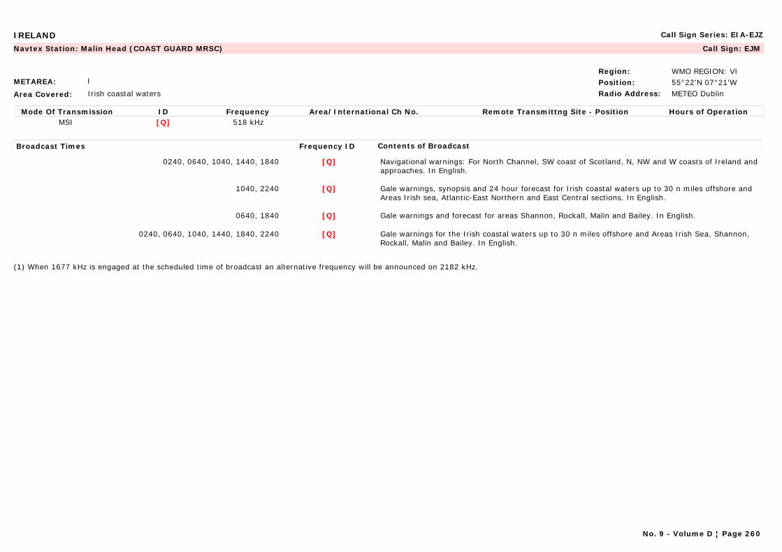
IRELAND Call Sign Series: EIA-EJZ
METAREA: I
Area Covered: Irish coastal waters
Region: WMO REGION: VIPosition: 55°22'N 07°21'WRadio Address: METEO Dublin
Navtex Station: Malin Head (COAST GUARD MRSC) Call Sign: EJM
Mode Of Transmission ID Frequency Area/International Ch No. Remote Transmittng Site - Position Hours of OperationMSI [Q] 518 kHz
Broadcast Times Frequency ID Contents of Broadcast
0240, 0640, 1040, 1440, 1840 [Q] Navigational warnings: For North Channel, SW coast of Scotland, N, NW and W coasts of Ireland and approaches. In English.
1040, 2240 [Q] Gale warnings, synopsis and 24 hour forecast for Irish coastal waters up to 30 n miles offshore and Areas Irish sea, Atlantic-East Northern and East Central sections. In English.
0640, 1840 [Q] Gale warnings and forecast for areas Shannon, Rockall, Malin and Bailey. In English.
0240, 0640, 1040, 1440, 1840, 2240 [Q] Gale warnings for the Irish coastal waters up to 30 n miles offshore and Areas Irish Sea, Shannon, Rockall, Malin and Bailey. In English.
(1) When 1677 kHz is engaged at the scheduled time of broadcast an alternative frequency will be announced on 2182 kHz.
No. 9 - Volume D ¦ Page 260
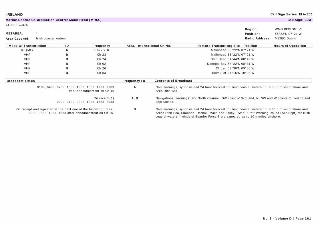
IRELAND Call Sign Series: EIA-EJZ
METAREA: I
Area Covered: Irish coastal waters
Region: WMO REGION: VIPosition: 55°22'N 07°21'WRadio Address: METEO Dublin
Marine Rescue Co-ordination Centre: Malin Head (MRSC) Call Sign: EJM
24-hour watch
Mode Of Transmission ID Frequency Area/International Ch No. Remote Transmittng Site - Position Hours of OperationRT (MF) A 1 677 kHz Malinhead 55°22'N 07°21'W
VHF B Ch 23 Malinhead 55°22'N 07°21'WVHF B Ch 24 Glen Head 54°44'N 08°43'WVHF B Ch 02 Donegal Bay 54°22'N 08°31'WVHF B Ch 26 Clifden 53°30'N 09°56'WVHF B Ch 83 Belmullet 54°16'N 10°03'W
Broadcast Times Frequency ID Contents of Broadcast
0103, 0403, 0703, 1003, 1303, 1603, 1903, 2203after announcement on Ch 16
A Gale warnings, synopsis and 24 hour forecast for Irish coastal waters up to 30 n miles offshore and Area Irish Sea.
On receipt(1)0033, 0433, 0833, 1233, 1633, 2033
A, B Navigational warnings: For North Channel, SW coast of Scotland, N, NW and W coasts of Ireland and approaches.
On receipt and repeated at the next one of the following times: 0033, 0633, 1233, 1833 after announcement on Ch 16.
B Gale warnings, synopsis and 24 hour forecast for Irish coastal waters up to 30 n miles offshore and Areas Irish Sea, Shannon, Rockall, Malin and Bailey. Small Craft Warning issued (Apr-Sept) for Irish coastal waters if winds of Beaufor Force 6 are expected up to 10 n miles offshore.
No. 9 - Volume D ¦ Page 261
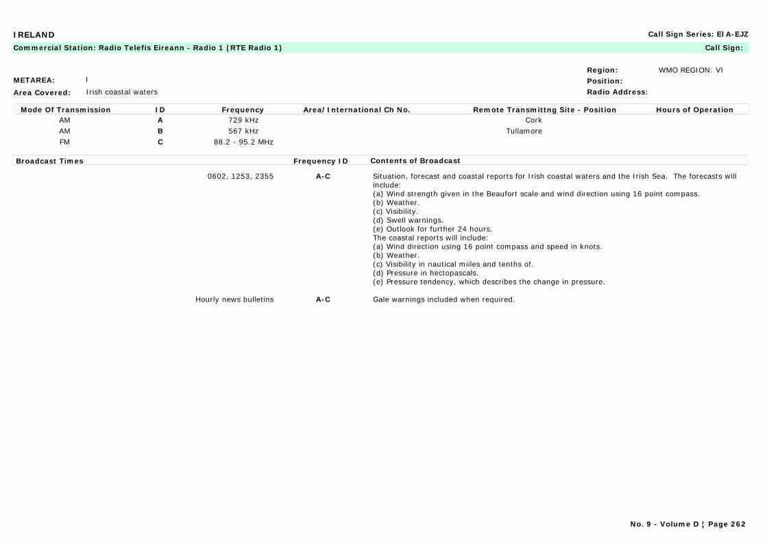
IRELAND Call Sign Series: EIA-EJZ
METAREA: I
Area Covered: Irish coastal waters
Region: WMO REGION: VIPosition:Radio Address:
Commercial Station: Radio Telefis Eireann - Radio 1 (RTE Radio 1) Call Sign:
Mode Of Transmission ID Frequency Area/International Ch No. Remote Transmittng Site - Position Hours of OperationAM A 729 kHz CorkAM B 567 kHz TullamoreFM C 88.2 - 95.2 MHz
Broadcast Times Frequency ID Contents of Broadcast
0602, 1253, 2355 A-C Situation, forecast and coastal reports for Irish coastal waters and the Irish Sea. The forecasts will include:(a) Wind strength given in the Beaufort scale and wind direction using 16 point compass.(b) Weather.(c) Visibility.(d) Swell warnings.(e) Outlook for further 24 hours.The coastal reports will include:(a) Wind direction using 16 point compass and speed in knots.(b) Weather.(c) Visibility in nautical miiles and tenths of.(d) Pressure in hectopascals.(e) Pressure tendency, which describes the change in pressure.
Hourly news bulletins A-C Gale warnings included when required.
No. 9 - Volume D ¦ Page 262
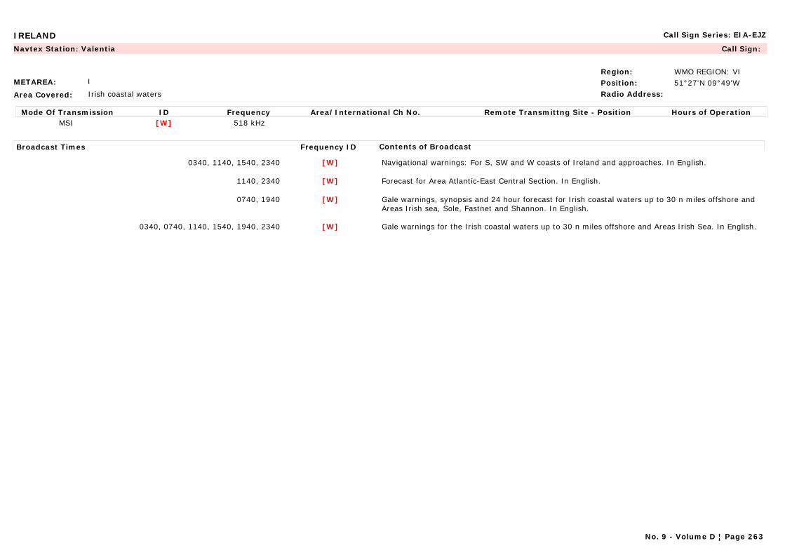
IRELAND Call Sign Series: EIA-EJZ
METAREA: I
Area Covered: Irish coastal waters
Region: WMO REGION: VIPosition: 51°27'N 09°49'WRadio Address:
Navtex Station: Valentia Call Sign:
Mode Of Transmission ID Frequency Area/International Ch No. Remote Transmittng Site - Position Hours of OperationMSI [W] 518 kHz
Broadcast Times Frequency ID Contents of Broadcast
0340, 1140, 1540, 2340 [W] Navigational warnings: For S, SW and W coasts of Ireland and approaches. In English.
1140, 2340 [W] Forecast for Area Atlantic-East Central Section. In English.
0740, 1940 [W] Gale warnings, synopsis and 24 hour forecast for Irish coastal waters up to 30 n miles offshore and Areas Irish sea, Sole, Fastnet and Shannon. In English.
0340, 0740, 1140, 1540, 1940, 2340 [W] Gale warnings for the Irish coastal waters up to 30 n miles offshore and Areas Irish Sea. In English.
No. 9 - Volume D ¦ Page 263
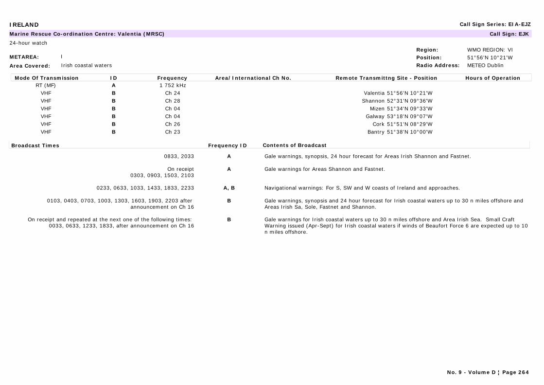
IRELAND Call Sign Series: EIA-EJZ
METAREA: I
Area Covered: Irish coastal waters
Region: WMO REGION: VIPosition: 51°56'N 10°21'WRadio Address: METEO Dublin
Marine Rescue Co-ordination Centre: Valentia (MRSC) Call Sign: EJK
24-hour watch
Mode Of Transmission ID Frequency Area/International Ch No. Remote Transmittng Site - Position Hours of OperationRT (MF) A 1 752 kHz
VHF B Ch 24 Valentia 51°56'N 10°21'WVHF B Ch 28 Shannon 52°31'N 09°36'WVHF B Ch 04 Mizen 51°34'N 09°33'WVHF B Ch 04 Galway 53°18'N 09°07'WVHF B Ch 26 Cork 51°51'N 08°29'WVHF B Ch 23 Bantry 51°38'N 10°00'W
Broadcast Times Frequency ID Contents of Broadcast
0833, 2033 A Gale warnings, synopsis, 24 hour forecast for Areas Irish Shannon and Fastnet.
On receipt0303, 0903, 1503, 2103
A Gale warnings for Areas Shannon and Fastnet.
0233, 0633, 1033, 1433, 1833, 2233 A, B Navigational warnings: For S, SW and W coasts of Ireland and approaches.
0103, 0403, 0703, 1003, 1303, 1603, 1903, 2203 after announcement on Ch 16
B Gale warnings, synopsis and 24 hour forecast for Irish coastal waters up to 30 n miles offshore and Areas Irish Sa, Sole, Fastnet and Shannon.
On receipt and repeated at the next one of the following times: 0033, 0633, 1233, 1833, after announcement on Ch 16
B Gale warnings for Irish coastal waters up to 30 n miles offshore and Area Irish Sea. Small Craft Warning issued (Apr-Sept) for Irish coastal waters if winds of Beaufort Force 6 are expected up to 10 n miles offshore.
No. 9 - Volume D ¦ Page 264
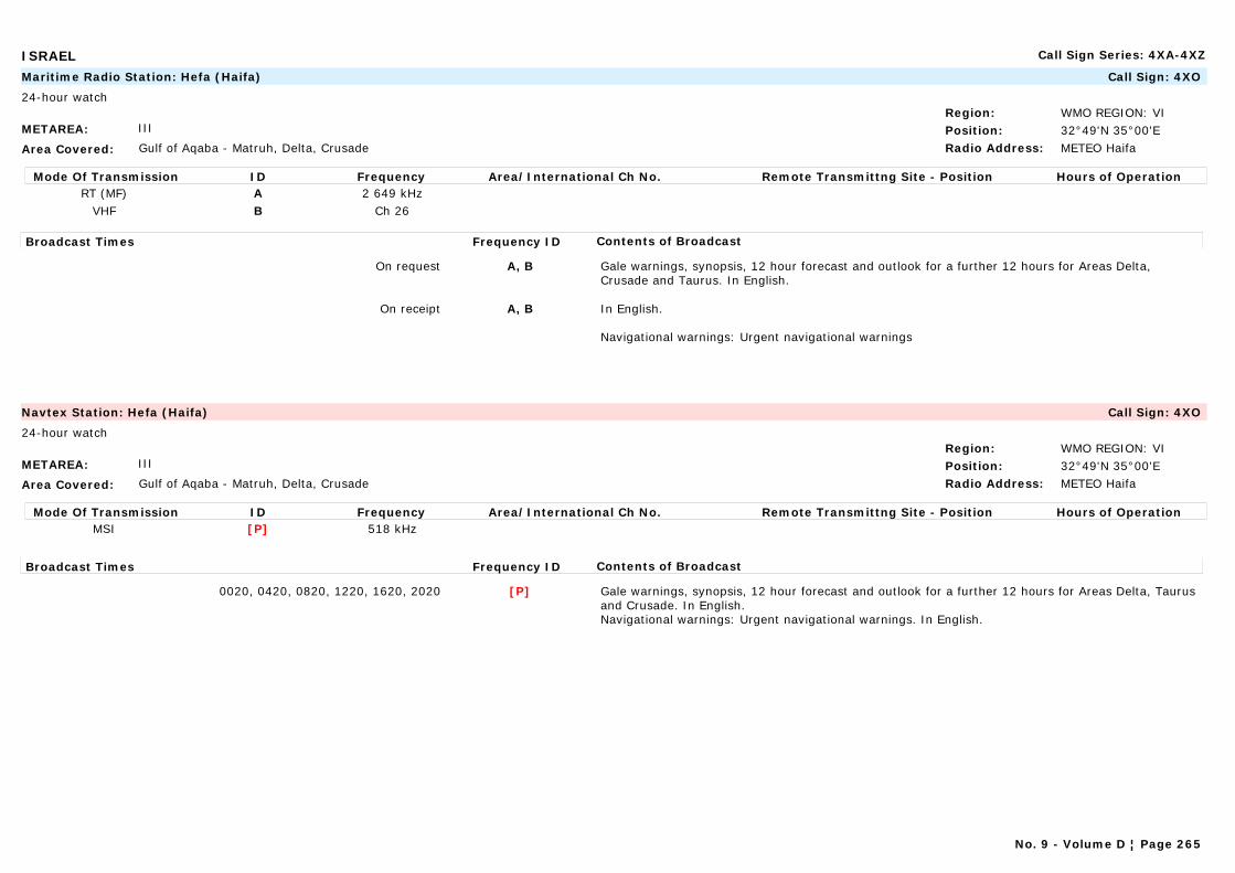
ISRAEL Call Sign Series: 4XA-4XZ
METAREA: III
Area Covered: Gulf of Aqaba - Matruh, Delta, Crusade
Region: WMO REGION: VIPosition: 32°49'N 35°00'ERadio Address: METEO Haifa
Maritime Radio Station: Hefa (Haifa) Call Sign: 4XO
24-hour watch
Mode Of Transmission ID Frequency Area/International Ch No. Remote Transmittng Site - Position Hours of OperationRT (MF) A 2 649 kHz
VHF B Ch 26
Broadcast Times Frequency ID Contents of Broadcast
On request A, B Gale warnings, synopsis, 12 hour forecast and outlook for a further 12 hours for Areas Delta, Crusade and Taurus. In English.
On receipt A, B In English.
Navigational warnings: Urgent navigational warnings
METAREA: III
Area Covered: Gulf of Aqaba - Matruh, Delta, Crusade
Region: WMO REGION: VIPosition: 32°49'N 35°00'ERadio Address: METEO Haifa
Navtex Station: Hefa (Haifa) Call Sign: 4XO
24-hour watch
Mode Of Transmission ID Frequency Area/International Ch No. Remote Transmittng Site - Position Hours of OperationMSI [P] 518 kHz
Broadcast Times Frequency ID Contents of Broadcast
0020, 0420, 0820, 1220, 1620, 2020 [P] Gale warnings, synopsis, 12 hour forecast and outlook for a further 12 hours for Areas Delta, Taurus and Crusade. In English.Navigational warnings: Urgent navigational warnings. In English.
No. 9 - Volume D ¦ Page 265

ITALY Call Sign Series: IAA-IZZ
METAREA: III
Area Covered: Northern and Central Adriatic (see map)
Region: WMO REGION: VIPosition: 43°36'N 13°28'ERadio Address:
Maritime Radio Station: Ancona Radio Call Sign: IPA
Mode Of Transmission ID Frequency Area/International Ch No. Remote Transmittng Site - Position Hours of OperationRT (MF) A 2 656 kHz
Broadcast Times Frequency ID Contents of Broadcast
On receipt0433, 0933, 1333, 1733, 2133
A Near gale warnings for areas: 14 and 15. In Italian and English
0135, 0735, 1335, 1935 A Near gale warnings, synopsis, 12 or 18 hour forecast and outlook for a further 12 hours for areas: 14 and 15. In Italian and English.Reports (decoded FM 12 SYNOP) from meteorological observation stations in Italian.
METAREA: III
Area Covered: Sicily Strait, Ionian Sea, Southern Adriatic
Region: WMO REGION: VIPosition: 37°14'N 15°14'ERadio Address:
Maritime Radio Station: Augusta Call Sign: IQA
Mode Of Transmission ID Frequency Area/International Ch No. Remote Transmittng Site - Position Hours of OperationRT (MF) A 2 628 kHz
Broadcast Times Frequency ID Contents of Broadcast
0135, 0735, 1335, 1935 A Near gale warnings, synopsis, 12 or 18 hour forecast and outlook for a further 12 hours for areas 10 and 11. In Italian and English.Reports (decoded FM 12 SYNOP) from meteorological observation stations in Italian.
On receipt0333 0833 1233 1633 2033
A Near gale warnings for areas 10 and 11. In Italian and English
No. 9 - Volume D ¦ Page 266
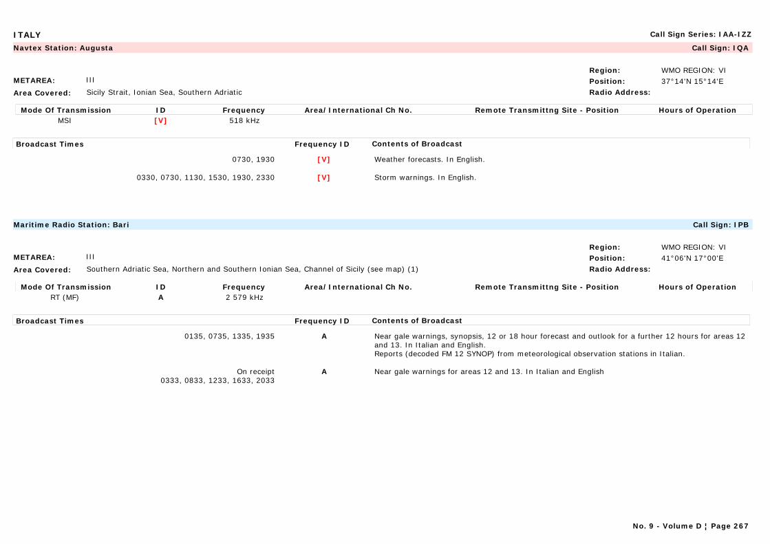
ITALY Call Sign Series: IAA-IZZ
METAREA: III
Area Covered: Sicily Strait, Ionian Sea, Southern Adriatic
Region: WMO REGION: VIPosition: 37°14'N 15°14'ERadio Address:
Navtex Station: Augusta Call Sign: IQA
Mode Of Transmission ID Frequency Area/International Ch No. Remote Transmittng Site - Position Hours of OperationMSI [V] 518 kHz
Broadcast Times Frequency ID Contents of Broadcast
0730, 1930 [V] Weather forecasts. In English.
0330, 0730, 1130, 1530, 1930, 2330 [V] Storm warnings. In English.
METAREA: III
Area Covered: Southern Adriatic Sea, Northern and Southern Ionian Sea, Channel of Sicily (see map) (1)
Region: WMO REGION: VIPosition: 41°06'N 17°00'ERadio Address:
Maritime Radio Station: Bari Call Sign: IPB
Mode Of Transmission ID Frequency Area/International Ch No. Remote Transmittng Site - Position Hours of OperationRT (MF) A 2 579 kHz
Broadcast Times Frequency ID Contents of Broadcast
0135, 0735, 1335, 1935 A Near gale warnings, synopsis, 12 or 18 hour forecast and outlook for a further 12 hours for areas 12 and 13. In Italian and English.Reports (decoded FM 12 SYNOP) from meteorological observation stations in Italian.
On receipt0333, 0833, 1233, 1633, 2033
A Near gale warnings for areas 12 and 13. In Italian and English
No. 9 - Volume D ¦ Page 267
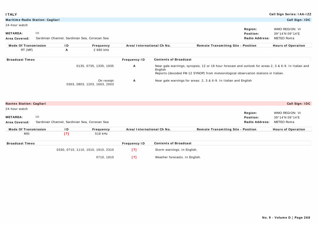
ITALY Call Sign Series: IAA-IZZ
METAREA: III
Area Covered: Sardinian Channel, Sardinian Sea, Corsican Sea
Region: WMO REGION: VIPosition: 39°14'N 09°14'ERadio Address: METEO Roma
Maritime Radio Station: Cagliari Call Sign: IDC
24-hour watch
Mode Of Transmission ID Frequency Area/International Ch No. Remote Transmittng Site - Position Hours of OperationRT (MF) A 2 680 kHz
Broadcast Times Frequency ID Contents of Broadcast
0135, 0735, 1335, 1935 A Near gale warnings, synopsis, 12 or 18 hour forecast and outlook for areas 2, 3 & 6-9. In Italian and EnglishReports (decoded FM 12 SYNOP) from meteorological observation stations in Italian.
On receipt0303, 0803, 1203, 1603, 2003
A Near gale warnings for areas: 2, 3 & 6-9. In Italian and English
METAREA: III
Area Covered: Sardinian Channel, Sardinian Sea, Corsican Sea
Region: WMO REGION: VIPosition: 39°14'N 09°14'ERadio Address: METEO Roma
Navtex Station: Cagliari Call Sign: IDC
24-hour watch
Mode Of Transmission ID Frequency Area/International Ch No. Remote Transmittng Site - Position Hours of OperationMSI [T] 518 kHz
Broadcast Times Frequency ID Contents of Broadcast
0330, 0710, 1110, 1510, 1910, 2310 [T] Storm warnings. In English.
0710, 1910 [T] Weather forecasts. In English.
No. 9 - Volume D ¦ Page 268

ITALY Call Sign Series: IAA-IZZ
METAREA: III
Area Covered: Northern and Central Tyrrhenian Sea (see map)
Region: WMO REGION: VIPosition: 42°02'N 11°50'ERadio Address:
Maritime Radio Station: Civitavecchia Call Sign: IPD
Mode Of Transmission ID Frequency Area/International Ch No. Remote Transmittng Site - Position Hours of OperationRT (MF) A 1 888 kHz
Broadcast Times Frequency ID Contents of Broadcast
0135, 0735, 1335, 1935 A Near gale warnings, synopsis, 12 or 18 hour forecast and outlook for areas 5-9. In Italian and English.Reports (decoded FM 12 SYNOP) from meteorological observation stations in Italian.
On receipt0533, 0933, 1333, 1833, 2333
A Near gale warnings for areas: 5-9. In Italian and English
METAREA: III
Area Covered: Northern and Southern Ionian Sea (see map)
Region: WMO REGION: VIPosition: 39°03'N 17°08'ERadio Address:
Maritime Radio Station: Crotone Call Sign: IPC
Mode Of Transmission ID Frequency Area/International Ch No. Remote Transmittng Site - Position Hours of OperationRT (MF) A 2 663 kHz
Broadcast Times Frequency ID Contents of Broadcast
0135, 0735, 1335, 1935 A Near gale warnings, synopsis, 12 or 18 hour forecast and outlook for areas 11-12. In Italian and English.Reports (decoded FM 12 SYNOP) from meteorological observation stations in Italian.
On receipt0333, 0833, 1233, 1633, 2033
A Near gale warnings for areas: 11-12. In Italian and English
No. 9 - Volume D ¦ Page 269

ITALY Call Sign Series: IAA-IZZ
METAREA: III
Area Covered: Ligurian Sea, Northern Tyrrhenian Sea, Sea of Corsica (see map)
Region: WMO REGION: VIPosition: 44°26'N 08°56'ERadio Address: METEO Roma
Maritime Radio Station: Genova Call Sign: ICB
24-hour watch
Mode Of Transmission ID Frequency Area/International Ch No. Remote Transmittng Site - Position Hours of OperationRT (MF) A 2 642 kHz
Broadcast Times Frequency ID Contents of Broadcast
0135, 0735, 1335, 1935 A Near gale warnings, synopsis, 12 or 18 hour forecast and outlook for areas 1, 4 & 5. In Italian and EnglishReports (decoded FM 12 SYNOP) from meteorological observation stations in Italian.
On receipt0333, 0833, 1233, 1633, 2033
A Near gale warnings for areas 1, 4 & 5. In Italian and English
METAREA: III
Area Covered: Channel of Sicily (see map)
Region: WMO REGION: VIPosition: 35°30'N 12°36'ERadio Address:
Maritime Radio Station: Lampedusa Call Sign: IQN
Mode Of Transmission ID Frequency Area/International Ch No. Remote Transmittng Site - Position Hours of OperationRT (MF) A 1 876 kHz
Broadcast Times Frequency ID Contents of Broadcast
0135, 0735, 1335, 1935 Near gale warnings, synopsis, 12 or 18 hour forecast and outlook for a further 12 hours for areas 10. In Italian and English.Reports (decoded FM 12 SYNOP) from meteorological observation stations in Italian.
On receipt0333, 0833, 1233, 1633, 2033
Near gale warnings for areas 10. In Italian and English
No. 9 - Volume D ¦ Page 270
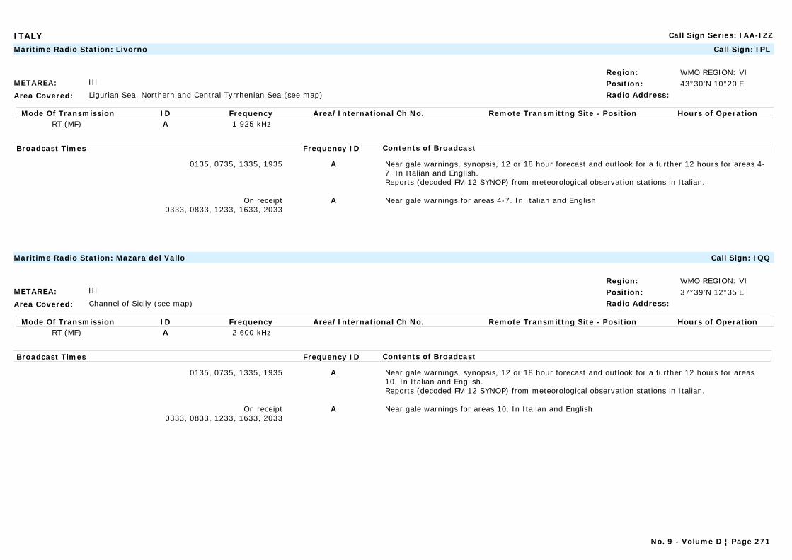
ITALY Call Sign Series: IAA-IZZ
METAREA: III
Area Covered: Ligurian Sea, Northern and Central Tyrrhenian Sea (see map)
Region: WMO REGION: VIPosition: 43°30'N 10°20'ERadio Address:
Maritime Radio Station: Livorno Call Sign: IPL
Mode Of Transmission ID Frequency Area/International Ch No. Remote Transmittng Site - Position Hours of OperationRT (MF) A 1 925 kHz
Broadcast Times Frequency ID Contents of Broadcast
0135, 0735, 1335, 1935 A Near gale warnings, synopsis, 12 or 18 hour forecast and outlook for a further 12 hours for areas 4-7. In Italian and English.Reports (decoded FM 12 SYNOP) from meteorological observation stations in Italian.
On receipt0333, 0833, 1233, 1633, 2033
A Near gale warnings for areas 4-7. In Italian and English
METAREA: III
Area Covered: Channel of Sicily (see map)
Region: WMO REGION: VIPosition: 37°39'N 12°35'ERadio Address:
Maritime Radio Station: Mazara del Vallo Call Sign: IQQ
Mode Of Transmission ID Frequency Area/International Ch No. Remote Transmittng Site - Position Hours of OperationRT (MF) A 2 600 kHz
Broadcast Times Frequency ID Contents of Broadcast
0135, 0735, 1335, 1935 A Near gale warnings, synopsis, 12 or 18 hour forecast and outlook for a further 12 hours for areas 10. In Italian and English.Reports (decoded FM 12 SYNOP) from meteorological observation stations in Italian.
On receipt0333, 0833, 1233, 1633, 2033
A Near gale warnings for areas 10. In Italian and English
No. 9 - Volume D ¦ Page 271

ITALY Call Sign Series: IAA-IZZ
METAREA: III
Area Covered: Southern Tyrrhenian Sea, Northern and Southern Ionian sea (see map)
Region: WMO REGION: VIPosition: 38°11'N 15°33'ERadio Address:
Maritime Radio Station: Messina Call Sign: IDF
Mode Of Transmission ID Frequency Area/International Ch No. Remote Transmittng Site - Position Hours of OperationRT (MF) A 2 789 kHz
Broadcast Times Frequency ID Contents of Broadcast
0135, 0735, 1335, 1935 A Near gale warnings, synopsis, 12 or 18 hour forecast and outlook for a further 12 hours for areas 8,9, 11 & 12. In Italian and EnglishReports (decoded FM 12 SYNOP) from meteorological observation stations in Italian.
On receipt0333, 0833, 1233, 1633, 2033
A Near gale warnings for areas 8,9, 11 & 12. In Italian and English.
METAREA: III
Area Covered: Central and Southern Tyrrhenian Sea (see map)
Region: WMO REGION: VIPosition: 40°51'N 14°14'ERadio Address: METEO Roma
Maritime Radio Station: Napoli Call Sign: IQH
24-hour watch
Mode Of Transmission ID Frequency Area/International Ch No. Remote Transmittng Site - Position Hours of OperationRT (MF) A 2 632 kHz
Broadcast Times Frequency ID Contents of Broadcast
0135, 0735, 1335, 1935 A Near gale warnings, synopsis, 12 or 18 hour forecast and outlook for a further 12 hours for areas 6-9. In Italian and EnglishReports (decoded FM 12 SYNOP) from meteorological observation stations in Italian.
On receipt0333, 0833, 1233, 1633, 2033
A Near gale warnings for areas 6-9. In Italian and English
No. 9 - Volume D ¦ Page 272
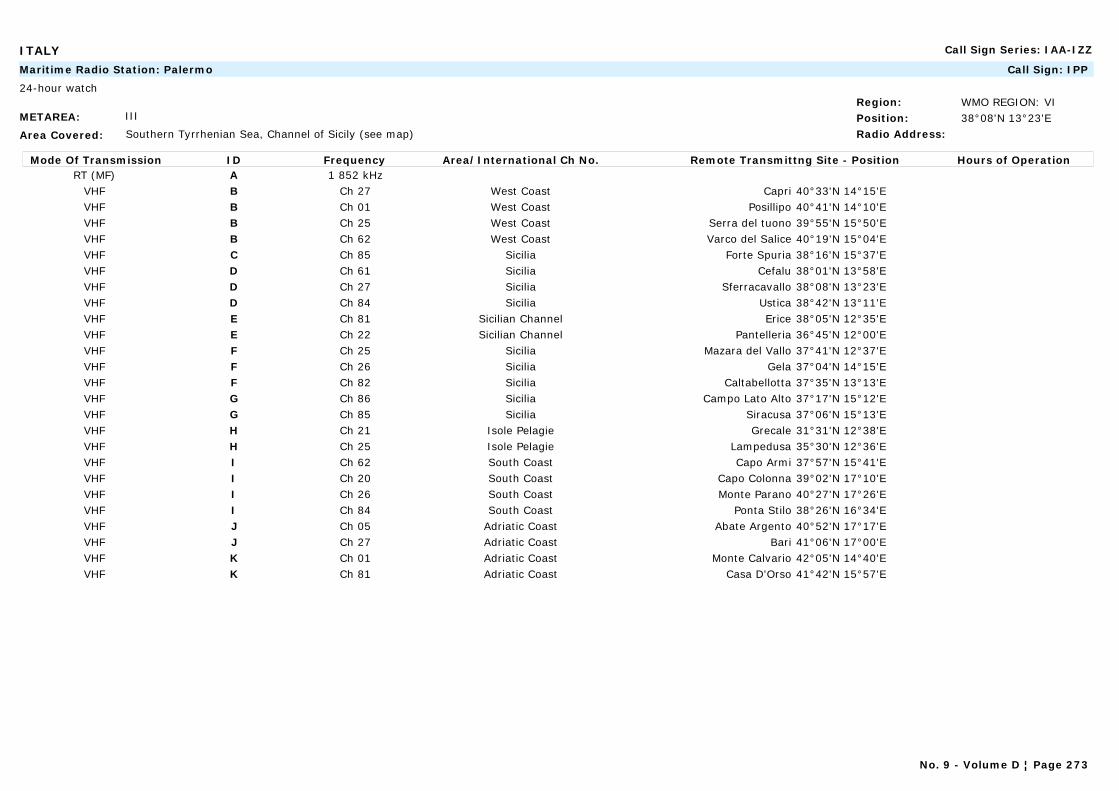
ITALY Call Sign Series: IAA-IZZ
METAREA: III
Area Covered: Southern Tyrrhenian Sea, Channel of Sicily (see map)
Region: WMO REGION: VIPosition: 38°08'N 13°23'ERadio Address:
Maritime Radio Station: Palermo Call Sign: IPP
24-hour watch
Mode Of Transmission ID Frequency Area/International Ch No. Remote Transmittng Site - Position Hours of OperationRT (MF) A 1 852 kHz
VHF B Ch 27 West Coast Capri 40°33'N 14°15'EVHF B Ch 01 West Coast Posillipo 40°41'N 14°10'EVHF B Ch 25 West Coast Serra del tuono 39°55'N 15°50'EVHF B Ch 62 West Coast Varco del Salice 40°19'N 15°04'EVHF C Ch 85 Sicilia Forte Spuria 38°16'N 15°37'EVHF D Ch 61 Sicilia Cefalu 38°01'N 13°58'EVHF D Ch 27 Sicilia Sferracavallo 38°08'N 13°23'EVHF D Ch 84 Sicilia Ustica 38°42'N 13°11'EVHF E Ch 81 Sicilian Channel Erice 38°05'N 12°35'EVHF E Ch 22 Sicilian Channel Pantelleria 36°45'N 12°00'EVHF F Ch 25 Sicilia Mazara del Vallo 37°41'N 12°37'EVHF F Ch 26 Sicilia Gela 37°04'N 14°15'EVHF F Ch 82 Sicilia Caltabellotta 37°35'N 13°13'EVHF G Ch 86 Sicilia Campo Lato Alto 37°17'N 15°12'EVHF G Ch 85 Sicilia Siracusa 37°06'N 15°13'EVHF H Ch 21 Isole Pelagie Grecale 31°31'N 12°38'EVHF H Ch 25 Isole Pelagie Lampedusa 35°30'N 12°36'EVHF I Ch 62 South Coast Capo Armi 37°57'N 15°41'EVHF I Ch 20 South Coast Capo Colonna 39°02'N 17°10'EVHF I Ch 26 South Coast Monte Parano 40°27'N 17°26'EVHF I Ch 84 South Coast Ponta Stilo 38°26'N 16°34'EVHF J Ch 05 Adriatic Coast Abate Argento 40°52'N 17°17'EVHF J Ch 27 Adriatic Coast Bari 41°06'N 17°00'EVHF K Ch 01 Adriatic Coast Monte Calvario 42°05'N 14°40'EVHF K Ch 81 Adriatic Coast Casa D'Orso 41°42'N 15°57'E
No. 9 - Volume D ¦ Page 273
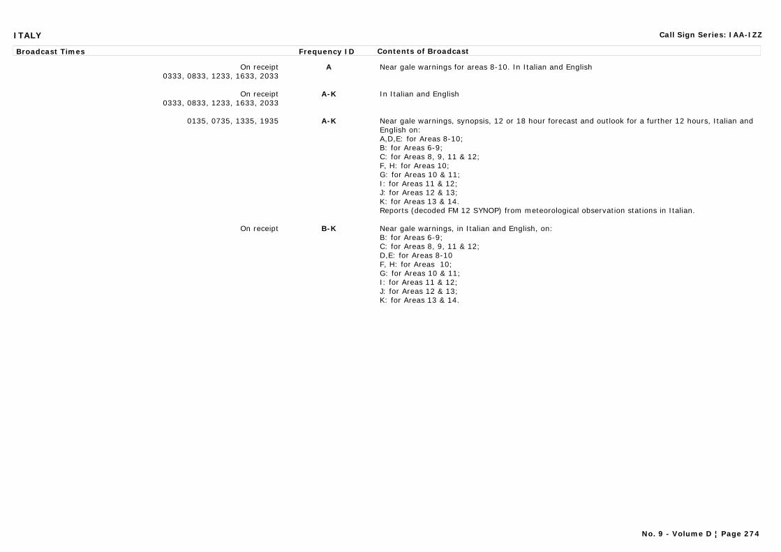
ITALY Call Sign Series: IAA-IZZ
Broadcast Times Frequency ID Contents of Broadcast
On receipt0333, 0833, 1233, 1633, 2033
A Near gale warnings for areas 8-10. In Italian and English
On receipt0333, 0833, 1233, 1633, 2033
A-K In Italian and English
0135, 0735, 1335, 1935 A-K Near gale warnings, synopsis, 12 or 18 hour forecast and outlook for a further 12 hours, Italian and English on:A,D,E: for Areas 8-10;B: for Areas 6-9;C: for Areas 8, 9, 11 & 12;F, H: for Areas 10;G: for Areas 10 & 11;I: for Areas 11 & 12;J: for Areas 12 & 13;K: for Areas 13 & 14.Reports (decoded FM 12 SYNOP) from meteorological observation stations in Italian.
On receipt B-K Near gale warnings, in Italian and English, on:B: for Areas 6-9;C: for Areas 8, 9, 11 & 12;D,E: for Areas 8-10F, H: for Areas 10;G: for Areas 10 & 11;I: for Areas 11 & 12;J: for Areas 12 & 13;K: for Areas 13 & 14.
No. 9 - Volume D ¦ Page 274
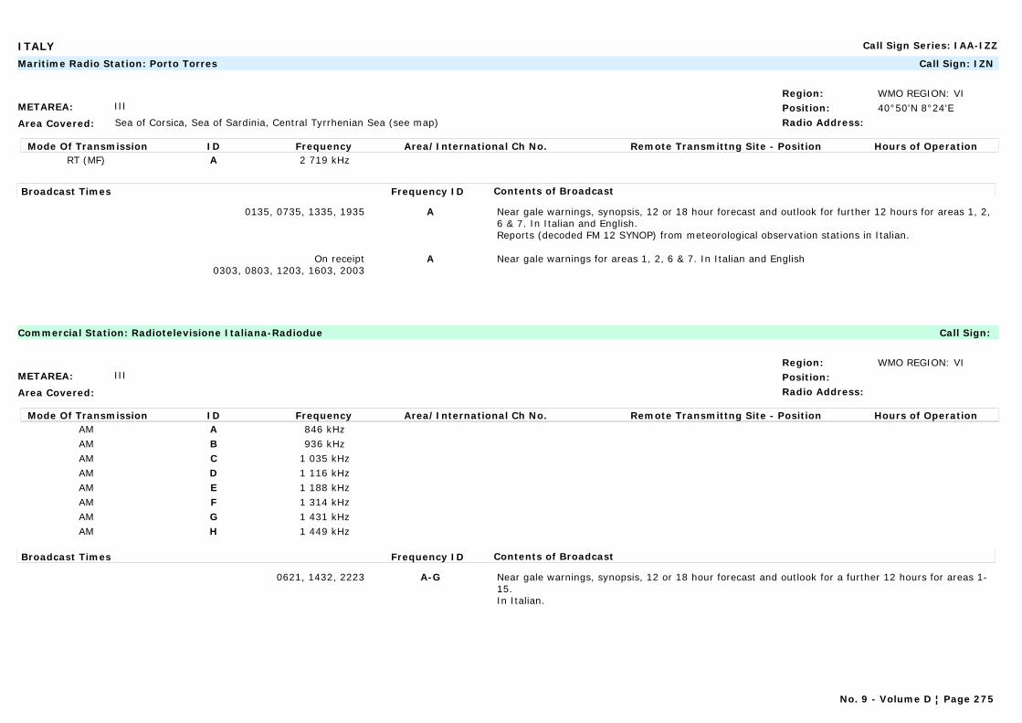
ITALY Call Sign Series: IAA-IZZ
METAREA: III
Area Covered: Sea of Corsica, Sea of Sardinia, Central Tyrrhenian Sea (see map)
Region: WMO REGION: VIPosition: 40°50'N 8°24'ERadio Address:
Maritime Radio Station: Porto Torres Call Sign: IZN
Mode Of Transmission ID Frequency Area/International Ch No. Remote Transmittng Site - Position Hours of OperationRT (MF) A 2 719 kHz
Broadcast Times Frequency ID Contents of Broadcast
0135, 0735, 1335, 1935 A Near gale warnings, synopsis, 12 or 18 hour forecast and outlook for further 12 hours for areas 1, 2, 6 & 7. In Italian and English.Reports (decoded FM 12 SYNOP) from meteorological observation stations in Italian.
On receipt0303, 0803, 1203, 1603, 2003
A Near gale warnings for areas 1, 2, 6 & 7. In Italian and English
METAREA: III
Area Covered:
Region: WMO REGION: VIPosition:Radio Address:
Commercial Station: Radiotelevisione Italiana-Radiodue Call Sign:
Mode Of Transmission ID Frequency Area/International Ch No. Remote Transmittng Site - Position Hours of OperationAM A 846 kHzAM B 936 kHzAM C 1 035 kHzAM D 1 116 kHzAM E 1 188 kHzAM F 1 314 kHzAM G 1 431 kHzAM H 1 449 kHz
Broadcast Times Frequency ID Contents of Broadcast
0621, 1432, 2223 A-G Near gale warnings, synopsis, 12 or 18 hour forecast and outlook for a further 12 hours for areas 1-15.In Italian.
No. 9 - Volume D ¦ Page 275
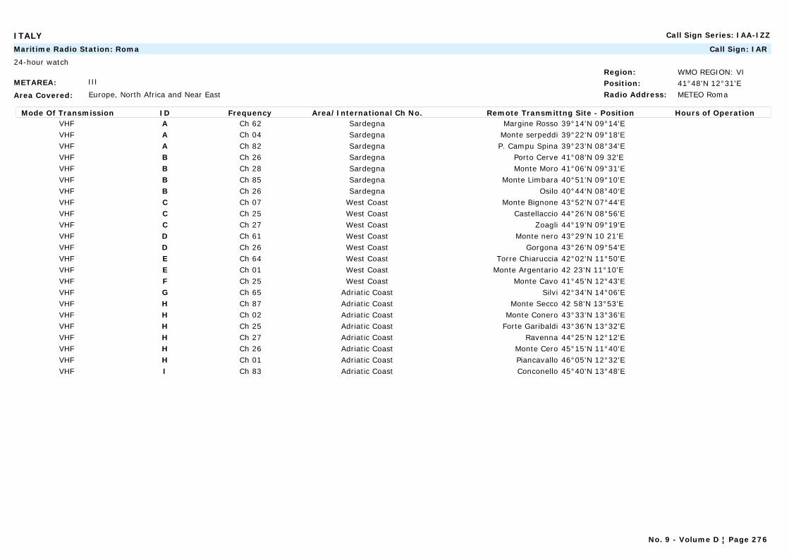
ITALY Call Sign Series: IAA-IZZ
METAREA: III
Area Covered: Europe, North Africa and Near East
Region: WMO REGION: VIPosition: 41°48'N 12°31'ERadio Address: METEO Roma
Maritime Radio Station: Roma Call Sign: IAR
24-hour watch
Mode Of Transmission ID Frequency Area/International Ch No. Remote Transmittng Site - Position Hours of OperationVHF A Ch 62 Sardegna Margine Rosso 39°14'N 09°14'EVHF A Ch 04 Sardegna Monte serpeddi 39°22'N 09°18'EVHF A Ch 82 Sardegna P. Campu Spina 39°23'N 08°34'EVHF B Ch 26 Sardegna Porto Cerve 41°08'N 09 32'EVHF B Ch 28 Sardegna Monte Moro 41°06'N 09°31'EVHF B Ch 85 Sardegna Monte Limbara 40°51'N 09°10'EVHF B Ch 26 Sardegna Osilo 40°44'N 08°40'EVHF C Ch 07 West Coast Monte Bignone 43°52'N 07°44'EVHF C Ch 25 West Coast Castellaccio 44°26'N 08°56'EVHF C Ch 27 West Coast Zoagli 44°19'N 09°19'EVHF D Ch 61 West Coast Monte nero 43°29'N 10 21'EVHF D Ch 26 West Coast Gorgona 43°26'N 09°54'EVHF E Ch 64 West Coast Torre Chiaruccia 42°02'N 11°50'EVHF E Ch 01 West Coast Monte Argentario 42 23'N 11°10'EVHF F Ch 25 West Coast Monte Cavo 41°45'N 12°43'EVHF G Ch 65 Adriatic Coast Silvi 42°34'N 14°06'EVHF H Ch 87 Adriatic Coast Monte Secco 42 58'N 13°53'EVHF H Ch 02 Adriatic Coast Monte Conero 43°33'N 13°36'EVHF H Ch 25 Adriatic Coast Forte Garibaldi 43°36'N 13°32'EVHF H Ch 27 Adriatic Coast Ravenna 44°25'N 12°12'EVHF H Ch 26 Adriatic Coast Monte Cero 45°15'N 11°40'EVHF H Ch 01 Adriatic Coast Piancavallo 46°05'N 12°32'EVHF I Ch 83 Adriatic Coast Conconello 45°40'N 13°48'E
No. 9 - Volume D ¦ Page 276
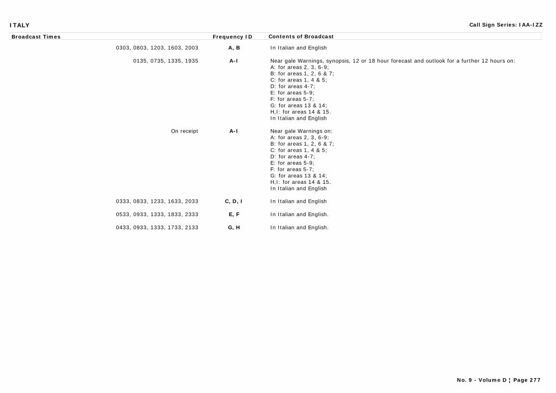
ITALY Call Sign Series: IAA-IZZ
Broadcast Times Frequency ID Contents of Broadcast
0303, 0803, 1203, 1603, 2003 A, B In Italian and English
0135, 0735, 1335, 1935 A-I Near gale Warnings, synopsis, 12 or 18 hour forecast and outlook for a further 12 hours on:A: for areas 2, 3, 6-9;B: for areas 1, 2, 6 & 7;C: for areas 1, 4 & 5;D: for areas 4-7;E: for areas 5-9;F: for areas 5-7;G: for areas 13 & 14;H,I: for areas 14 & 15.In Italian and English
On receipt A-I Near gale Warnings on:A: for areas 2, 3, 6-9;B: for areas 1, 2, 6 & 7;C: for areas 1, 4 & 5;D: for areas 4-7;E: for areas 5-9;F: for areas 5-7;G: for areas 13 & 14;H,I: for areas 14 & 15.In Italian and English
0333, 0833, 1233, 1633, 2033 C, D, I In Italian and English
0533, 0933, 1333, 1833, 2333 E, F In Italian and English.
0433, 0933, 1333, 1733, 2133 G, H In Italian and English.
No. 9 - Volume D ¦ Page 277
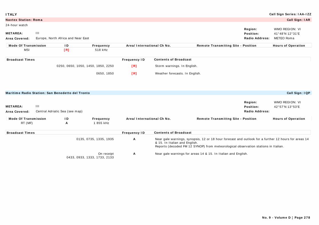
ITALY Call Sign Series: IAA-IZZ
METAREA: III
Area Covered: Europe, North Africa and Near East
Region: WMO REGION: VIPosition: 41°48'N 12°31'ERadio Address: METEO Roma
Navtex Station: Roma Call Sign: IAR
24-hour watch
Mode Of Transmission ID Frequency Area/International Ch No. Remote Transmittng Site - Position Hours of OperationMSI [R] 518 kHz
Broadcast Times Frequency ID Contents of Broadcast
0250, 0650, 1050, 1450, 1850, 2250 [R] Storm warnings. In English.
0650, 1850 [R] Weather forecasts. In English.
METAREA: III
Area Covered: Central Adriatic Sea (see map)
Region: WMO REGION: VIPosition: 42°57'N 13°53'ERadio Address:
Maritime Radio Station: San Benedetto del Tronto Call Sign: IQP
Mode Of Transmission ID Frequency Area/International Ch No. Remote Transmittng Site - Position Hours of OperationRT (MF) A 1 855 kHz
Broadcast Times Frequency ID Contents of Broadcast
0135, 0735, 1335, 1935 A Near gale warnings, synopsis, 12 or 18 hour forecast and outlook for a further 12 hours for areas 14 & 15. In Italian and English.Reports (decoded FM 12 SYNOP) from meteorological observation stations in Italian.
On receipt0433, 0933, 1333, 1733, 2133
A Near gale warnings for areas 14 & 15. In Italian and English.
No. 9 - Volume D ¦ Page 278
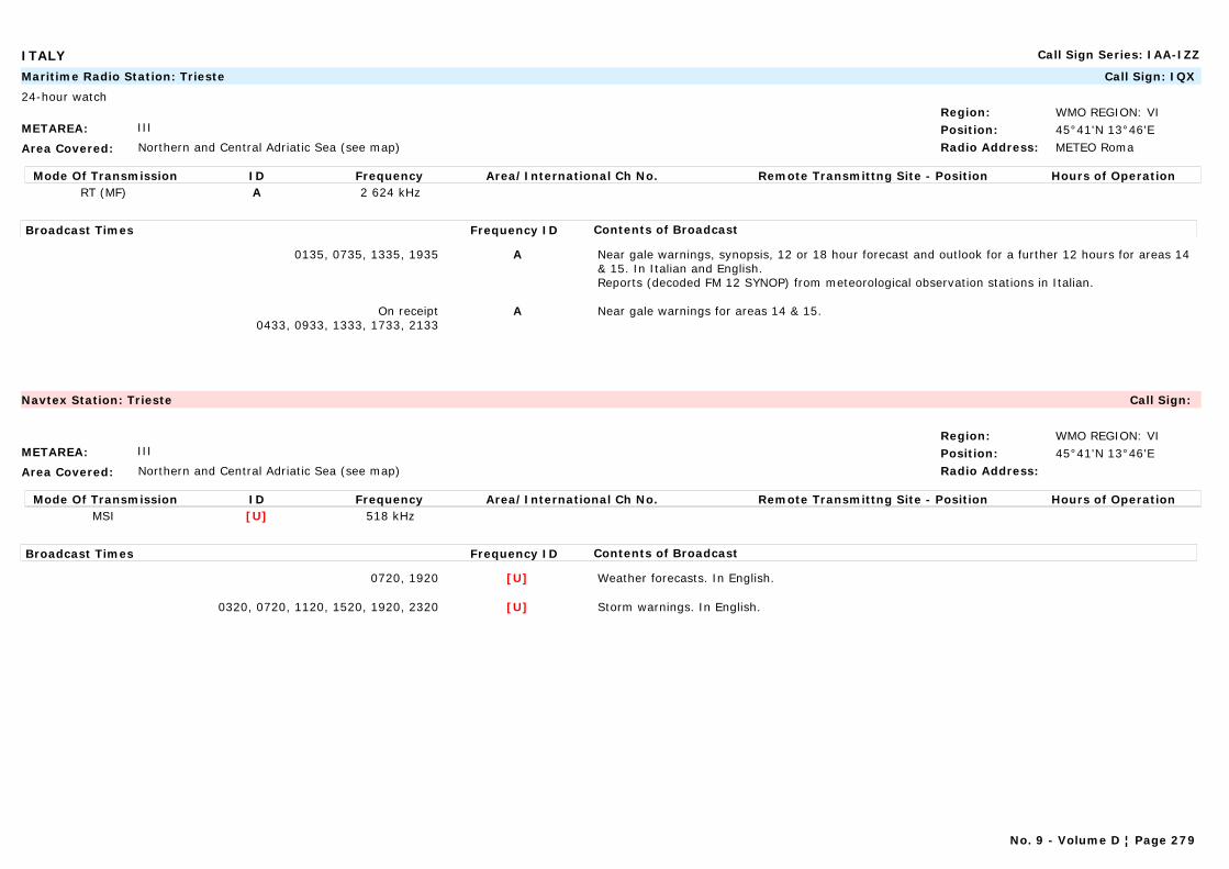
ITALY Call Sign Series: IAA-IZZ
METAREA: III
Area Covered: Northern and Central Adriatic Sea (see map)
Region: WMO REGION: VIPosition: 45°41'N 13°46'ERadio Address: METEO Roma
Maritime Radio Station: Trieste Call Sign: IQX
24-hour watch
Mode Of Transmission ID Frequency Area/International Ch No. Remote Transmittng Site - Position Hours of OperationRT (MF) A 2 624 kHz
Broadcast Times Frequency ID Contents of Broadcast
0135, 0735, 1335, 1935 A Near gale warnings, synopsis, 12 or 18 hour forecast and outlook for a further 12 hours for areas 14 & 15. In Italian and English.Reports (decoded FM 12 SYNOP) from meteorological observation stations in Italian.
On receipt0433, 0933, 1333, 1733, 2133
A Near gale warnings for areas 14 & 15.
METAREA: III
Area Covered: Northern and Central Adriatic Sea (see map)
Region: WMO REGION: VIPosition: 45°41'N 13°46'ERadio Address:
Navtex Station: Trieste Call Sign:
Mode Of Transmission ID Frequency Area/International Ch No. Remote Transmittng Site - Position Hours of OperationMSI [U] 518 kHz
Broadcast Times Frequency ID Contents of Broadcast
0720, 1920 [U] Weather forecasts. In English.
0320, 0720, 1120, 1520, 1920, 2320 [U] Storm warnings. In English.
No. 9 - Volume D ¦ Page 279
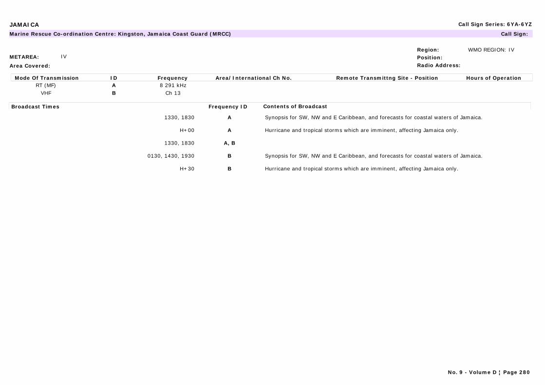
JAMAICA Call Sign Series: 6YA-6YZ
METAREA: IV
Area Covered:
Region: WMO REGION: IVPosition:Radio Address:
Marine Rescue Co-ordination Centre: Kingston, Jamaica Coast Guard (MRCC) Call Sign:
Mode Of Transmission ID Frequency Area/International Ch No. Remote Transmittng Site - Position Hours of OperationRT (MF) A 8 291 kHz
VHF B Ch 13
Broadcast Times Frequency ID Contents of Broadcast
1330, 1830 A Synopsis for SW, NW and E Caribbean, and forecasts for coastal waters of Jamaica.
H+00 A Hurricane and tropical storms which are imminent, affecting Jamaica only.
1330, 1830 A, B
0130, 1430, 1930 B Synopsis for SW, NW and E Caribbean, and forecasts for coastal waters of Jamaica.
H+30 B Hurricane and tropical storms which are imminent, affecting Jamaica only.
No. 9 - Volume D ¦ Page 280
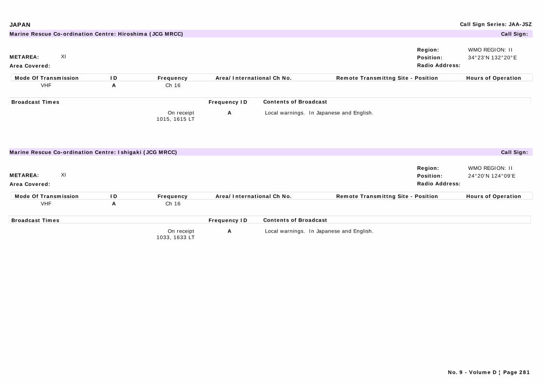
JAPAN Call Sign Series: JAA-JSZ
METAREA: XI
Area Covered:
Region: WMO REGION: IIPosition: 34°23'N 132°20°ERadio Address:
Marine Rescue Co-ordination Centre: Hiroshima (JCG MRCC) Call Sign:
Mode Of Transmission ID Frequency Area/International Ch No. Remote Transmittng Site - Position Hours of OperationVHF A Ch 16
Broadcast Times Frequency ID Contents of Broadcast
On receipt1015, 1615 LT
A Local warnings. In Japanese and English.
METAREA: XI
Area Covered:
Region: WMO REGION: IIPosition: 24°20'N 124°09'ERadio Address:
Marine Rescue Co-ordination Centre: Ishigaki (JCG MRCC) Call Sign:
Mode Of Transmission ID Frequency Area/International Ch No. Remote Transmittng Site - Position Hours of OperationVHF A Ch 16
Broadcast Times Frequency ID Contents of Broadcast
On receipt1033, 1633 LT
A Local warnings. In Japanese and English.
No. 9 - Volume D ¦ Page 281
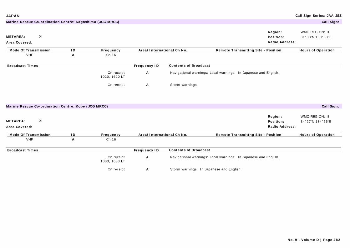
JAPAN Call Sign Series: JAA-JSZ
METAREA: XI
Area Covered:
Region: WMO REGION: IIPosition: 31°33'N 130°33'ERadio Address:
Marine Rescue Co-ordination Centre: Kagoshima (JCG MRCC) Call Sign:
Mode Of Transmission ID Frequency Area/International Ch No. Remote Transmittng Site - Position Hours of OperationVHF A Ch 16
Broadcast Times Frequency ID Contents of Broadcast
On receipt1020, 1620 LT
A Navigational warnings: Local warnings. In Japanese and English.
On receipt A Storm warnings.
METAREA: XI
Area Covered:
Region: WMO REGION: IIPosition: 34°27'N 134°55'ERadio Address:
Marine Rescue Co-ordination Centre: Kobe (JCG MRCC) Call Sign:
Mode Of Transmission ID Frequency Area/International Ch No. Remote Transmittng Site - Position Hours of OperationVHF A Ch 16
Broadcast Times Frequency ID Contents of Broadcast
On receipt1033, 1633 LT
A Navigational warnings: Local warnings. In Japanese and English.
On receipt A Storm warnings. In Japanese and English.
No. 9 - Volume D ¦ Page 282

JAPAN Call Sign Series: JAA-JSZ
METAREA: XI
Area Covered: West Pacific/Sea of Japan
Region: WMO REGION: IIPosition: 42°57'N 144°36'ERadio Address:
Navtex Station: Kushiro Call Sign:
Mode Of Transmission ID Frequency Area/International Ch No. Remote Transmittng Site - Position Hours of OperationMSI [K] 490 kHzMSI [K] 518 kHz
Broadcast Times Frequency ID Contents of Broadcast
0908, 1308 (January-April) [K] Navigational warnings: Ice reports for the southern part of Okhotskoye More and E coast of Kokkaido. Drifting ice in Japan sea and North Pacific Ocean. In Japanese.
0108, 0508, 0908, 1308, 1708, 2108 [K] Storm warnings, gale warnings, near gale warnings, fog (visibility) warnings, synopsis, 12 and 24 hour forecast (only for typhoon) for Areas 2, 4, 5, 7 -12. In Japanese.Navigational warnings: Tsunami warnings and advice from the Tsunami Warnings Centres. In Japanese.
0940, 1340 (January-April) [K] Navigational warnings: Ice reports for the southern part of Okhotskoye More and E coast of Kokkaido. Drifting ice in Japan sea and North Pacific Ocean. In English.
0140, 0540, 0940, 1340, 1740, 2140 [K] Storm warnings, gale warnings, near gale warnings, fog (visibility) warnings, synopsis, 12 and 24 hour forecast (only for typhoon) for Areas 2, 4, 5, 7 -12. In English.Navigational warnings: Tsunami warnings and advice from the Tsunami Warnings Centres. In English.
Note:All 424 kHz broadcasts are transmitted on low power for local coverage.
No. 9 - Volume D ¦ Page 283
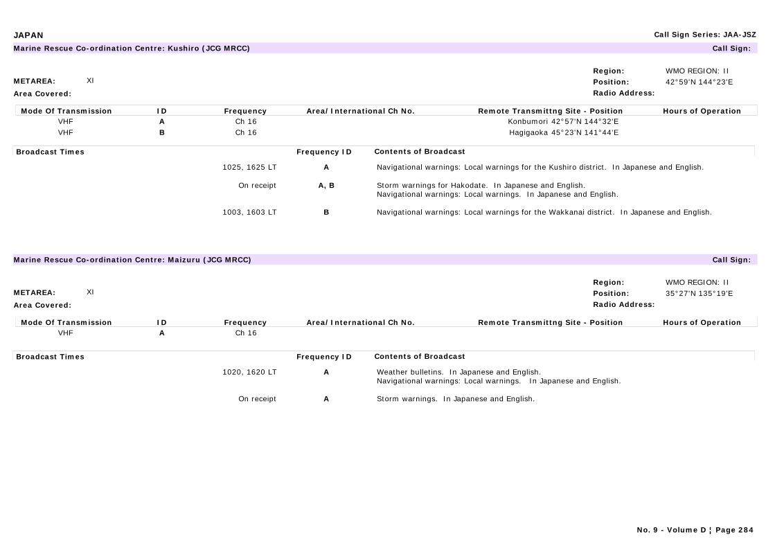
JAPAN Call Sign Series: JAA-JSZ
METAREA: XI
Area Covered:
Region: WMO REGION: IIPosition: 42°59'N 144°23'ERadio Address:
Marine Rescue Co-ordination Centre: Kushiro (JCG MRCC) Call Sign:
Mode Of Transmission ID Frequency Area/International Ch No. Remote Transmittng Site - Position Hours of OperationVHF A Ch 16 Konbumori 42°57'N 144°32'EVHF B Ch 16 Hagigaoka 45°23'N 141°44'E
Broadcast Times Frequency ID Contents of Broadcast
1025, 1625 LT A Navigational warnings: Local warnings for the Kushiro district. In Japanese and English.
On receipt A, B Storm warnings for Hakodate. In Japanese and English.Navigational warnings: Local warnings. In Japanese and English.
1003, 1603 LT B Navigational warnings: Local warnings for the Wakkanai district. In Japanese and English.
METAREA: XI
Area Covered:
Region: WMO REGION: IIPosition: 35°27'N 135°19'ERadio Address:
Marine Rescue Co-ordination Centre: Maizuru (JCG MRCC) Call Sign:
Mode Of Transmission ID Frequency Area/International Ch No. Remote Transmittng Site - Position Hours of OperationVHF A Ch 16
Broadcast Times Frequency ID Contents of Broadcast
1020, 1620 LT A Weather bulletins. In Japanese and English.Navigational warnings: Local warnings. In Japanese and English.
On receipt A Storm warnings. In Japanese and English.
No. 9 - Volume D ¦ Page 284
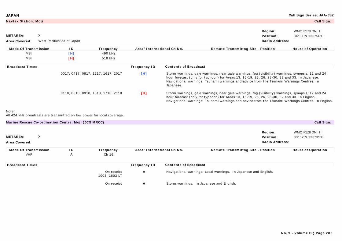
JAPAN Call Sign Series: JAA-JSZ
METAREA: XI
Area Covered: West Pacific/Sea of Japan
Region: WMO REGION: IIPosition: 34°01'N 130°56'ERadio Address:
Navtex Station: Moji Call Sign:
Mode Of Transmission ID Frequency Area/International Ch No. Remote Transmittng Site - Position Hours of OperationMSI [H] 490 kHzMSI [H] 518 kHz
Broadcast Times Frequency ID Contents of Broadcast
0017, 0417, 0817, 1217, 1617, 2017 [H] Storm warnings, gale warnings, near gale warnings, fog (visibility) warnings, synopsis, 12 and 24 hour forecast (only for typhoon) for Areas 13, 16-19, 25, 26, 28-30, 32 and 33. In Japanese.Navigational warnings: Tsunami warnings and advice from the Tsunami Warnings Centres. In Japanese.
0110, 0510, 0910, 1310, 1710, 2110 [H] Storm warnings, gale warnings, near gale warnings, fog (visibility) warnings, synopsis, 12 and 24 hour forecast (only for typhoon) for Areas 13, 16-19, 25, 26, 28-30, 32 and 33. In English.Navigational warnings: Tsunami warnings and advice from the Tsunami Warnings Centres. In English.
Note:All 424 kHz broadcasts are transmitted on low power for local coverage.
METAREA: XI
Area Covered:
Region: WMO REGION: IIPosition: 33°52'N 130°35'ERadio Address:
Marine Rescue Co-ordination Centre: Moji (JCG MRCC) Call Sign:
Mode Of Transmission ID Frequency Area/International Ch No. Remote Transmittng Site - Position Hours of OperationVHF A Ch 16
Broadcast Times Frequency ID Contents of Broadcast
On receipt1003, 1603 LT
A Navigational warnings: Local warnings. In Japanese and English.
On receipt A Storm warnings. In Japanese and English.
No. 9 - Volume D ¦ Page 285
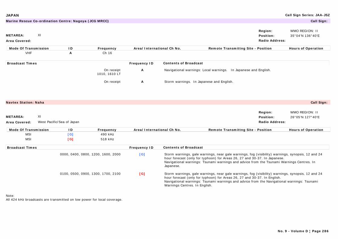
JAPAN Call Sign Series: JAA-JSZ
METAREA: XI
Area Covered:
Region: WMO REGION: IIPosition: 35°04'N 136°40'ERadio Address:
Marine Rescue Co-ordination Centre: Nagoya (JCG MRCC) Call Sign:
Mode Of Transmission ID Frequency Area/International Ch No. Remote Transmittng Site - Position Hours of OperationVHF A Ch 16
Broadcast Times Frequency ID Contents of Broadcast
On receipt1010, 1610 LT
A Navigational warnings: Local warnings. In Japanese and English.
On receipt A Storm warnings. In Japanese and English.
METAREA: XI
Area Covered: West Pacific/Sea of Japan
Region: WMO REGION: IIPosition: 26°05'N 127°40'ERadio Address:
Navtex Station: Naha Call Sign:
Mode Of Transmission ID Frequency Area/International Ch No. Remote Transmittng Site - Position Hours of OperationMSI [G] 490 kHzMSI [G] 518 kHz
Broadcast Times Frequency ID Contents of Broadcast
0000, 0400, 0800, 1200, 1600, 2000 [G] Storm warnings, gale warnings, near gale warnings, fog (visibility) warnings, synopsis, 12 and 24 hour forecast (only for typhoon) for Areas 26, 27 and 30-37. In Japanese.Navigational warnings: Tsunami warnings and advice from the Tsunami Warnings Centres. In Japanese.
0100, 0500, 0900, 1300, 1700, 2100 [G] Storm warnings, gale warnings, near gale warnings, fog (visibility) warnings, synopsis, 12 and 24 hour forecast (only for typhoon) for Areas 26, 27 and 30-37. In English.Navigational warnings: Tsunami warnings and advice from the Navigational warnings: Tsunami Warnings Centres. In English.
Note:All 424 kHz broadcasts are transmitted on low power for local coverage.
No. 9 - Volume D ¦ Page 286
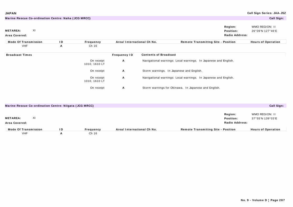
JAPAN Call Sign Series: JAA-JSZ
METAREA: XI
Area Covered:
Region: WMO REGION: IIPosition: 26°09'N 127°46'ERadio Address:
Marine Rescue Co-ordination Centre: Naha (JCG MRCC) Call Sign:
Mode Of Transmission ID Frequency Area/International Ch No. Remote Transmittng Site - Position Hours of OperationVHF A Ch 16
Broadcast Times Frequency ID Contents of Broadcast
On receipt1010, 1610 LT
A Navigational warnings: Local warnings. In Japanese and English.
On receipt A Storm warnings. In Japanese and English.
On receipt1010, 1610 LT
A Navigational warnings: Local warnings. In Japanese and English.
On receipt A Storm warnings for Okinawa. In Japanese and English.
METAREA: XI
Area Covered:
Region: WMO REGION: IIPosition: 37°55'N 139°03'ERadio Address:
Marine Rescue Co-ordination Centre: Niigata (JCG MRCC) Call Sign:
Mode Of Transmission ID Frequency Area/International Ch No. Remote Transmittng Site - Position Hours of OperationVHF A Ch 16
No. 9 - Volume D ¦ Page 287
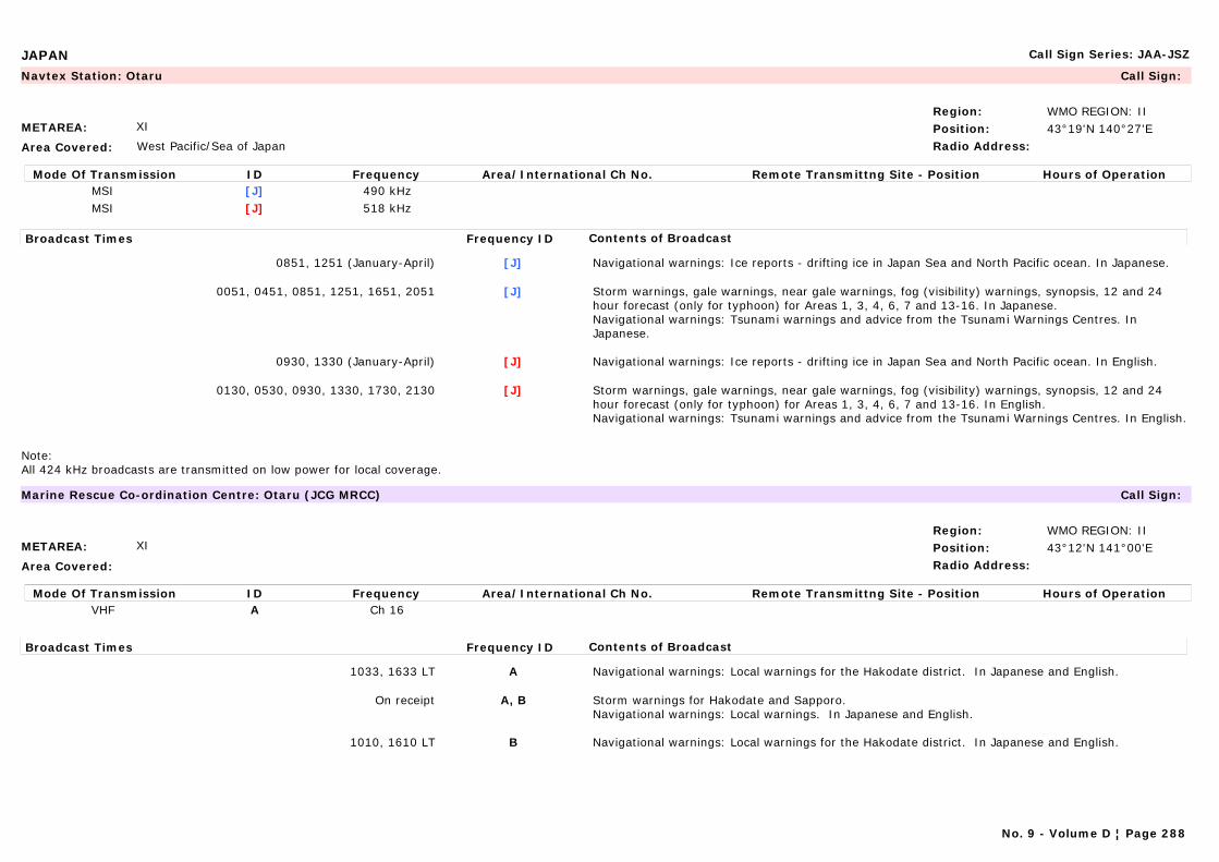
JAPAN Call Sign Series: JAA-JSZ
METAREA: XI
Area Covered: West Pacific/Sea of Japan
Region: WMO REGION: IIPosition: 43°19'N 140°27'ERadio Address:
Navtex Station: Otaru Call Sign:
Mode Of Transmission ID Frequency Area/International Ch No. Remote Transmittng Site - Position Hours of OperationMSI [J] 490 kHzMSI [J] 518 kHz
Broadcast Times Frequency ID Contents of Broadcast
0851, 1251 (January-April) [J] Navigational warnings: Ice reports - drifting ice in Japan Sea and North Pacific ocean. In Japanese.
0051, 0451, 0851, 1251, 1651, 2051 [J] Storm warnings, gale warnings, near gale warnings, fog (visibility) warnings, synopsis, 12 and 24 hour forecast (only for typhoon) for Areas 1, 3, 4, 6, 7 and 13-16. In Japanese.Navigational warnings: Tsunami warnings and advice from the Tsunami Warnings Centres. In Japanese.
0930, 1330 (January-April) [J] Navigational warnings: Ice reports - drifting ice in Japan Sea and North Pacific ocean. In English.
0130, 0530, 0930, 1330, 1730, 2130 [J] Storm warnings, gale warnings, near gale warnings, fog (visibility) warnings, synopsis, 12 and 24 hour forecast (only for typhoon) for Areas 1, 3, 4, 6, 7 and 13-16. In English.Navigational warnings: Tsunami warnings and advice from the Tsunami Warnings Centres. In English.
Note:All 424 kHz broadcasts are transmitted on low power for local coverage.
METAREA: XI
Area Covered:
Region: WMO REGION: IIPosition: 43°12'N 141°00'ERadio Address:
Marine Rescue Co-ordination Centre: Otaru (JCG MRCC) Call Sign:
Mode Of Transmission ID Frequency Area/International Ch No. Remote Transmittng Site - Position Hours of OperationVHF A Ch 16
Broadcast Times Frequency ID Contents of Broadcast
1033, 1633 LT A Navigational warnings: Local warnings for the Hakodate district. In Japanese and English.
On receipt A, B Storm warnings for Hakodate and Sapporo.Navigational warnings: Local warnings. In Japanese and English.
1010, 1610 LT B Navigational warnings: Local warnings for the Hakodate district. In Japanese and English.
No. 9 - Volume D ¦ Page 288
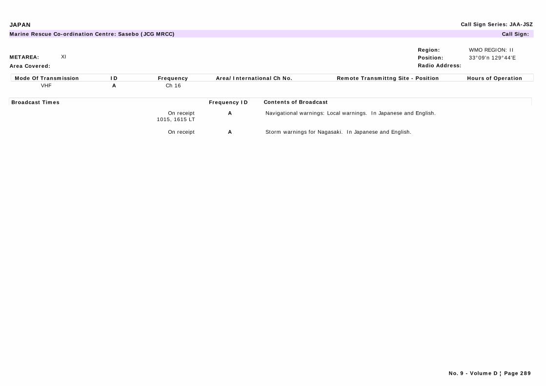
JAPAN Call Sign Series: JAA-JSZ
METAREA: XI
Area Covered:
Region: WMO REGION: IIPosition: 33°09'n 129°44'ERadio Address:
Marine Rescue Co-ordination Centre: Sasebo (JCG MRCC) Call Sign:
Mode Of Transmission ID Frequency Area/International Ch No. Remote Transmittng Site - Position Hours of OperationVHF A Ch 16
Broadcast Times Frequency ID Contents of Broadcast
On receipt1015, 1615 LT
A Navigational warnings: Local warnings. In Japanese and English.
On receipt A Storm warnings for Nagasaki. In Japanese and English.
No. 9 - Volume D ¦ Page 289
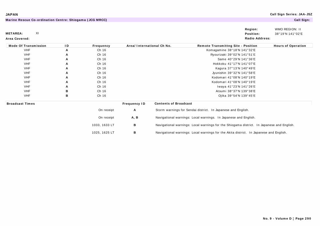
JAPAN Call Sign Series: JAA-JSZ
METAREA: XI
Area Covered:
Region: WMO REGION: IIPosition: 38°19'N 141°02'ERadio Address:
Marine Rescue Co-ordination Centre: Shiogama (JCG MRCC) Call Sign:
Mode Of Transmission ID Frequency Area/International Ch No. Remote Transmittng Site - Position Hours of OperationVHF A Ch 16 Komagamine 38°18'N 141°32'EVHF A Ch 16 Ryourizaki 39°02'N 141°51'EVHF A Ch 16 Same 40°29'N 141°36'EVHF A Ch 16 Hokkoku 41°17'N 141°07'EVHF A Ch 16 Kagura 37°13'N 140°49'EVHF A Ch 16 Jyunishin 39°32'N 141°58'EVHF A Ch 16 Kodomari 41°08'N 140°19'EVHF A Ch 16 Kodomari 41°08'N 140°19'EVHF A Ch 16 Iwaya 41°23'N 141°26'EVHF B Ch 16 Atsumi 38°37'N 139°38'EVHF B Ch 16 Ojika 39°54'N 139°45'E
Broadcast Times Frequency ID Contents of Broadcast
On receipt A Storm warnings for Sendai district. In Japanese and English.
On receipt A, B Navigational warnings: Local warnings. In Japanese and English.
1033, 1633 LT B Navigational warnings: Local warnings for the Shiogama district. In Japanese and English.
1025, 1625 LT B Navigational warnings: Local warnings for the Akita district. In Japanese and English.
No. 9 - Volume D ¦ Page 290

JAPAN Call Sign Series: JAA-JSZ
METAREA: XI
Area Covered: West Pacific/Sea of Japan
Region: WMO REGION: IIPosition: 35°14'N 139°55'ERadio Address:
Marine Rescue Co-ordination Centre: Yokohama (JCG MRCC) Call Sign:
Mode Of Transmission ID Frequency Area/International Ch No. Remote Transmittng Site - Position Hours of OperationVHF A Ch 16
Broadcast Times Frequency ID Contents of Broadcast
On receipt1020, 1620 LT
A Navigational warnings: Local warnings. In Japanese and English.
On receipt A Storm warnings for Tokyo. In Japanese and English.
METAREA: XI
Area Covered: West Pacific/Sea of Japan
Region: WMO REGION: IIPosition: 35°14'N 139°55'ERadio Address:
Navtex Station: Yokohama (JCG MRCC) Call Sign:
Mode Of Transmission ID Frequency Area/International Ch No. Remote Transmittng Site - Position Hours of OperationMSI [I] 490 kHzMSI [I] 518 kHz
Broadcast Times Frequency ID Contents of Broadcast
0034, 0434, 0834, 1234, 1634, 2034 [I] Storm warnings, gale warnings, near gale warnings, fog (visibility) warnings, synopsis, 12 and 24 hour forecast (only for typhoon) for Areas 11, 12, 20-24, 26 and 27. In Japanese.Navigational warnings: Tsunami warnings and advice from the Tsunami Warnings Centres. In Japanese.
0120, 0520, 0920, 1320, 1720, 2120 [I] Storm warnings, gale warnings, near gale warnings, fog (visibility) warnings, synopsis, 12 and 24 hour forecast (only for typhoon) for Areas 11, 12, 20-24, 26 and 27. In English.Navigational warnings: Tsunami warnings and advice from the Tsunami Warnings Centres. In English.
Note:All 424 kHz broadcasts are transmitted on low power for local coverage.
No. 9 - Volume D ¦ Page 291
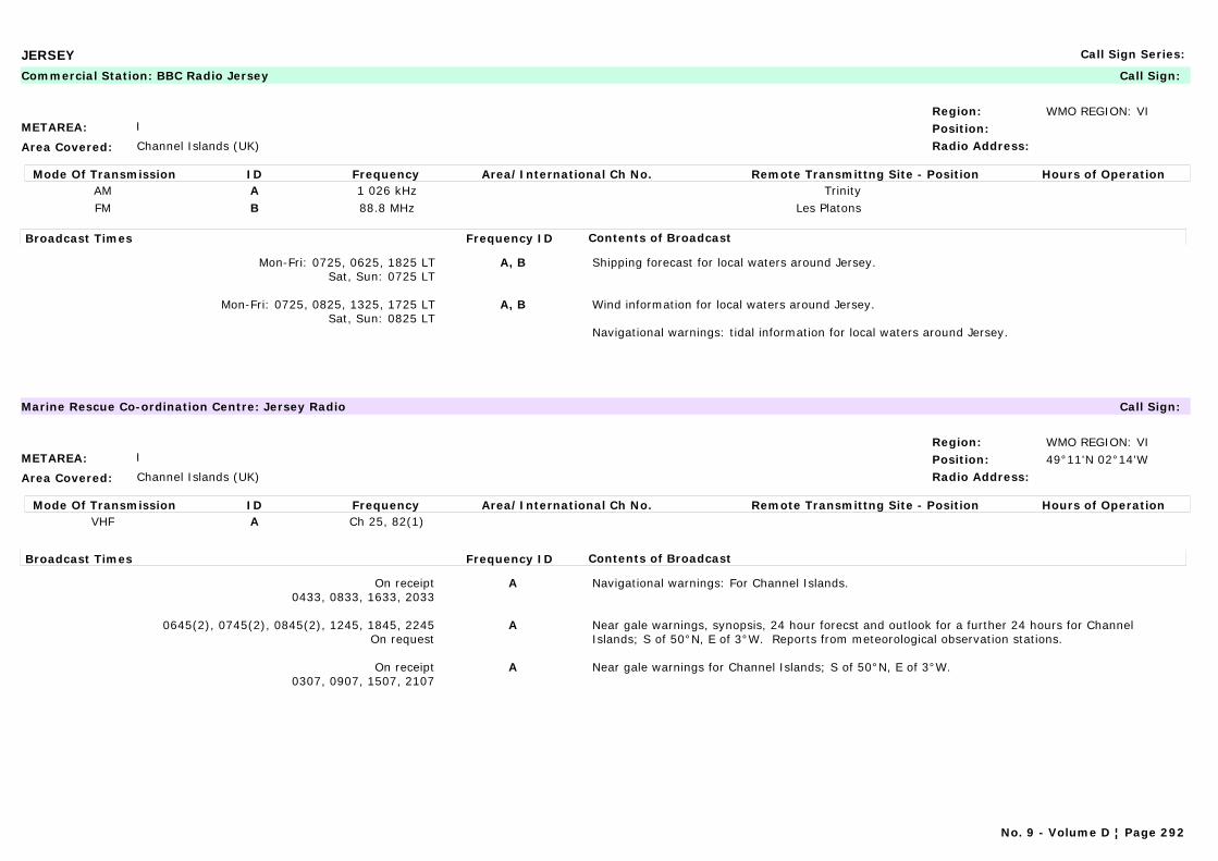
JERSEY Call Sign Series:
METAREA: I
Area Covered: Channel Islands (UK)
Region: WMO REGION: VIPosition:Radio Address:
Commercial Station: BBC Radio Jersey Call Sign:
Mode Of Transmission ID Frequency Area/International Ch No. Remote Transmittng Site - Position Hours of OperationAM A 1 026 kHz TrinityFM B 88.8 MHz Les Platons
Broadcast Times Frequency ID Contents of Broadcast
Mon-Fri: 0725, 0625, 1825 LTSat, Sun: 0725 LT
A, B Shipping forecast for local waters around Jersey.
Mon-Fri: 0725, 0825, 1325, 1725 LTSat, Sun: 0825 LT
A, B Wind information for local waters around Jersey.
Navigational warnings: tidal information for local waters around Jersey.
METAREA: I
Area Covered: Channel Islands (UK)
Region: WMO REGION: VIPosition: 49°11'N 02°14'WRadio Address:
Marine Rescue Co-ordination Centre: Jersey Radio Call Sign:
Mode Of Transmission ID Frequency Area/International Ch No. Remote Transmittng Site - Position Hours of OperationVHF A Ch 25, 82(1)
Broadcast Times Frequency ID Contents of Broadcast
On receipt0433, 0833, 1633, 2033
A Navigational warnings: For Channel Islands.
0645(2), 0745(2), 0845(2), 1245, 1845, 2245On request
A Near gale warnings, synopsis, 24 hour forecst and outlook for a further 24 hours for Channel Islands; S of 50°N, E of 3°W. Reports from meteorological observation stations.
On receipt0307, 0907, 1507, 2107
A Near gale warnings for Channel Islands; S of 50°N, E of 3°W.
No. 9 - Volume D ¦ Page 292
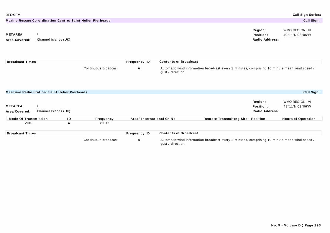
JERSEY Call Sign Series:
METAREA: I
Area Covered: Channel Islands (UK)
Region: WMO REGION: VIPosition: 49°11'N 02°06'WRadio Address:
Marine Rescue Co-ordination Centre: Saint Helier Pierheads Call Sign:
Broadcast Times Frequency ID Contents of Broadcast
Continuous broadcast A Automatic wind information broadcast every 2 minutes, comprising 10 minute mean wind speed / gust / direction.
METAREA: I
Area Covered: Channel Islands (UK)
Region: WMO REGION: VIPosition: 49°11'N 02°06'WRadio Address:
Maritime Radio Station: Saint Helier Pierheads Call Sign:
Mode Of Transmission ID Frequency Area/International Ch No. Remote Transmittng Site - Position Hours of OperationVHF A Ch 18
Broadcast Times Frequency ID Contents of Broadcast
Continuous broadcast A Automatic wind information broadcast every 2 minutes, comprising 10 minute mean wind speed / gust / direction.
No. 9 - Volume D ¦ Page 293
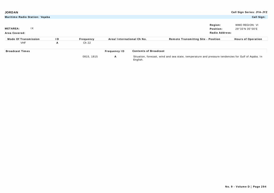
JORDAN Call Sign Series: JYA-JYZ
METAREA: IX
Area Covered:
Region: WMO REGION: VIPosition: 29°33'N 35°00'ERadio Address:
Maritime Radio Station: 'Aqaba Call Sign:
Mode Of Transmission ID Frequency Area/International Ch No. Remote Transmittng Site - Position Hours of OperationVHF A Ch 22
Broadcast Times Frequency ID Contents of Broadcast
0815, 1815 A Situation, forecast, wind and sea state, temperature and pressure tendencies for Gulf of Aqaba. In English.
No. 9 - Volume D ¦ Page 294
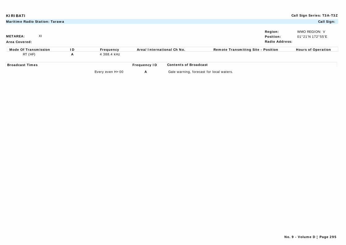
KIRIBATI Call Sign Series: T3A-T3Z
METAREA: XI
Area Covered:
Region: WMO REGION: VPosition: 01°21'N 172°55'ERadio Address:
Maritime Radio Station: Tarawa Call Sign:
Mode Of Transmission ID Frequency Area/International Ch No. Remote Transmittng Site - Position Hours of OperationRT (HF) A 4 388.4 kHz
Broadcast Times Frequency ID Contents of Broadcast
Every even H+00 A Gale warning, forecast for local waters.
No. 9 - Volume D ¦ Page 295
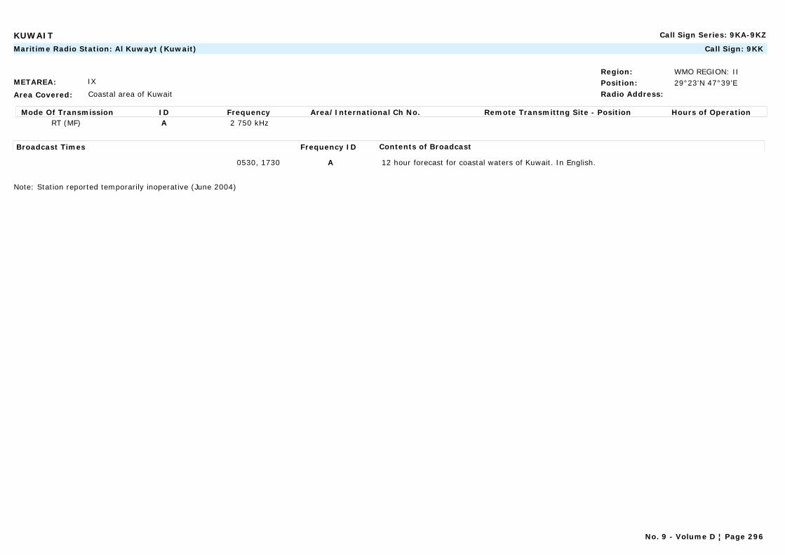
KUWAIT Call Sign Series: 9KA-9KZ
METAREA: IX
Area Covered: Coastal area of Kuwait
Region: WMO REGION: IIPosition: 29°23'N 47°39'ERadio Address:
Maritime Radio Station: Al Kuwayt (Kuwait) Call Sign: 9KK
Mode Of Transmission ID Frequency Area/International Ch No. Remote Transmittng Site - Position Hours of OperationRT (MF) A 2 750 kHz
Broadcast Times Frequency ID Contents of Broadcast
0530, 1730 A 12 hour forecast for coastal waters of Kuwait. In English.
Note: Station reported temporarily inoperative (June 2004)
No. 9 - Volume D ¦ Page 296
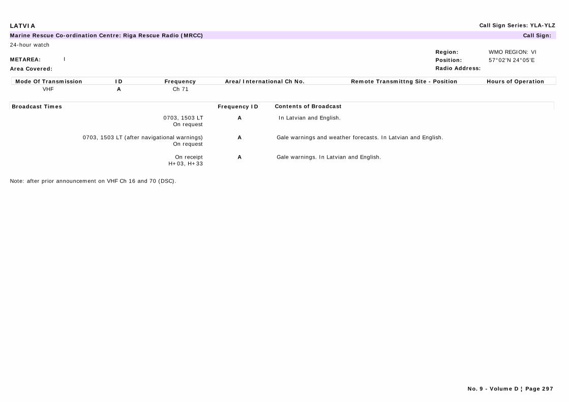
LATVIA Call Sign Series: YLA-YLZ
METAREA: I
Area Covered:
Region: WMO REGION: VIPosition: 57°02'N 24°05'ERadio Address:
Marine Rescue Co-ordination Centre: Riga Rescue Radio (MRCC) Call Sign:
24-hour watch
Mode Of Transmission ID Frequency Area/International Ch No. Remote Transmittng Site - Position Hours of OperationVHF A Ch 71
Broadcast Times Frequency ID Contents of Broadcast
0703, 1503 LTOn request
A In Latvian and English.
0703, 1503 LT (after navigational warnings)On request
A Gale warnings and weather forecasts. In Latvian and English.
On receiptH+03, H+33
A Gale warnings. In Latvian and English.
Note: after prior announcement on VHF Ch 16 and 70 (DSC).
No. 9 - Volume D ¦ Page 297
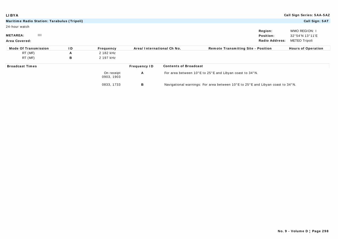
LIBYA Call Sign Series: 5AA-5AZ
METAREA: III
Area Covered:
Region: WMO REGION: IPosition: 32°54'N 13°11'ERadio Address: METEO Tripoli
Maritime Radio Station: Tarabulus (Tripoli) Call Sign: 5AT
24-hour watch
Mode Of Transmission ID Frequency Area/International Ch No. Remote Transmittng Site - Position Hours of OperationRT (MF) A 2 182 kHzRT (MF) B 2 197 kHz
Broadcast Times Frequency ID Contents of Broadcast
On receipt0903, 1903
A For area between 10°E to 25°E and Libyan coast to 34°N.
0833, 1733 B Navigational warnings: For area between 10°E to 25°E and Libyan coast to 34°N.
No. 9 - Volume D ¦ Page 298
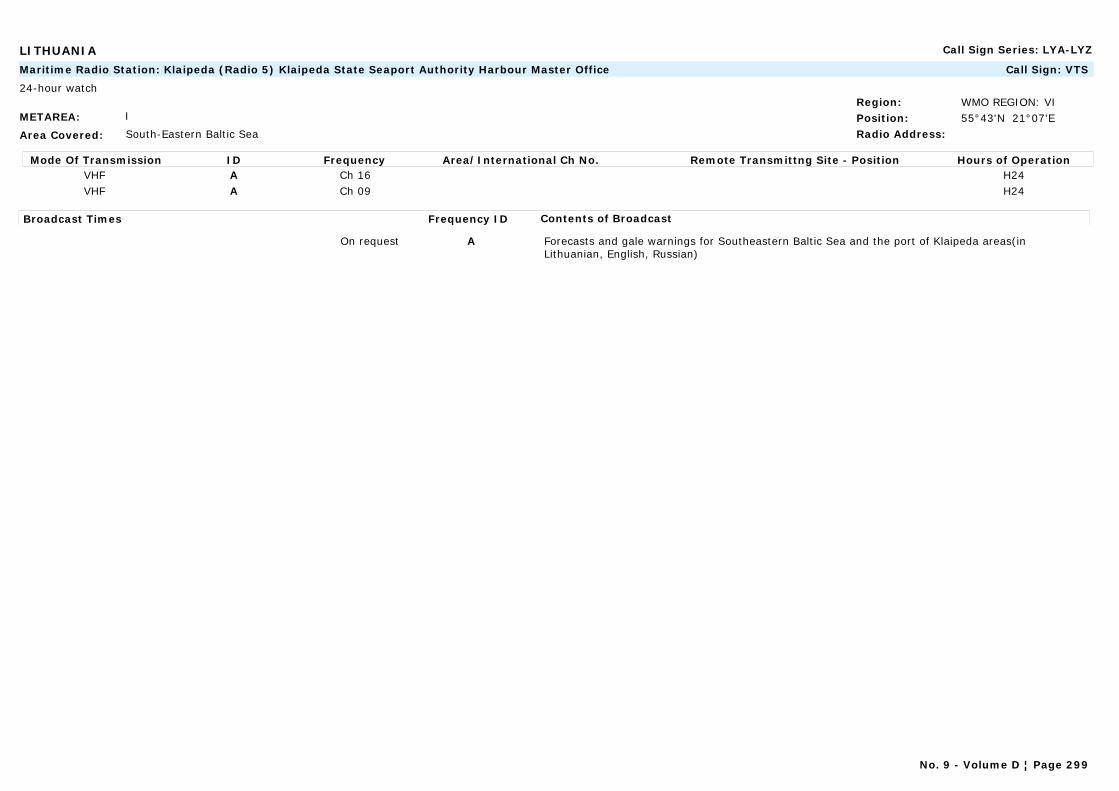
LITHUANIA Call Sign Series: LYA-LYZ
METAREA: I
Area Covered: South-Eastern Baltic Sea
Region: WMO REGION: VIPosition: 55°43'N 21°07'ERadio Address:
Maritime Radio Station: Klaipeda (Radio 5) Klaipeda State Seaport Authority Harbour Master Office Call Sign: VTS
24-hour watch
Mode Of Transmission ID Frequency Area/International Ch No. Remote Transmittng Site - Position Hours of OperationVHF A Ch 16 H24VHF A Ch 09 H24
Broadcast Times Frequency ID Contents of Broadcast
On request A Forecasts and gale warnings for Southeastern Baltic Sea and the port of Klaipeda areas(in Lithuanian, English, Russian)
No. 9 - Volume D ¦ Page 299
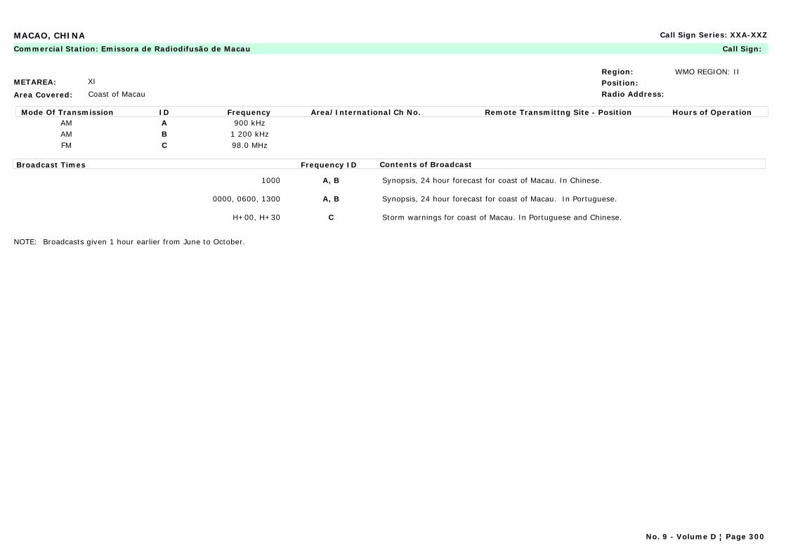
MACAO, CHINA Call Sign Series: XXA-XXZ
METAREA: XI
Area Covered: Coast of Macau
Region: WMO REGION: IIPosition:Radio Address:
Commercial Station: Emissora de Radiodifusão de Macau Call Sign:
Mode Of Transmission ID Frequency Area/International Ch No. Remote Transmittng Site - Position Hours of OperationAM A 900 kHzAM B 1 200 kHzFM C 98.0 MHz
Broadcast Times Frequency ID Contents of Broadcast
1000 A, B Synopsis, 24 hour forecast for coast of Macau. In Chinese.
0000, 0600, 1300 A, B Synopsis, 24 hour forecast for coast of Macau. In Portuguese.
H+00, H+30 C Storm warnings for coast of Macau. In Portuguese and Chinese.
NOTE: Broadcasts given 1 hour earlier from June to October.
No. 9 - Volume D ¦ Page 300
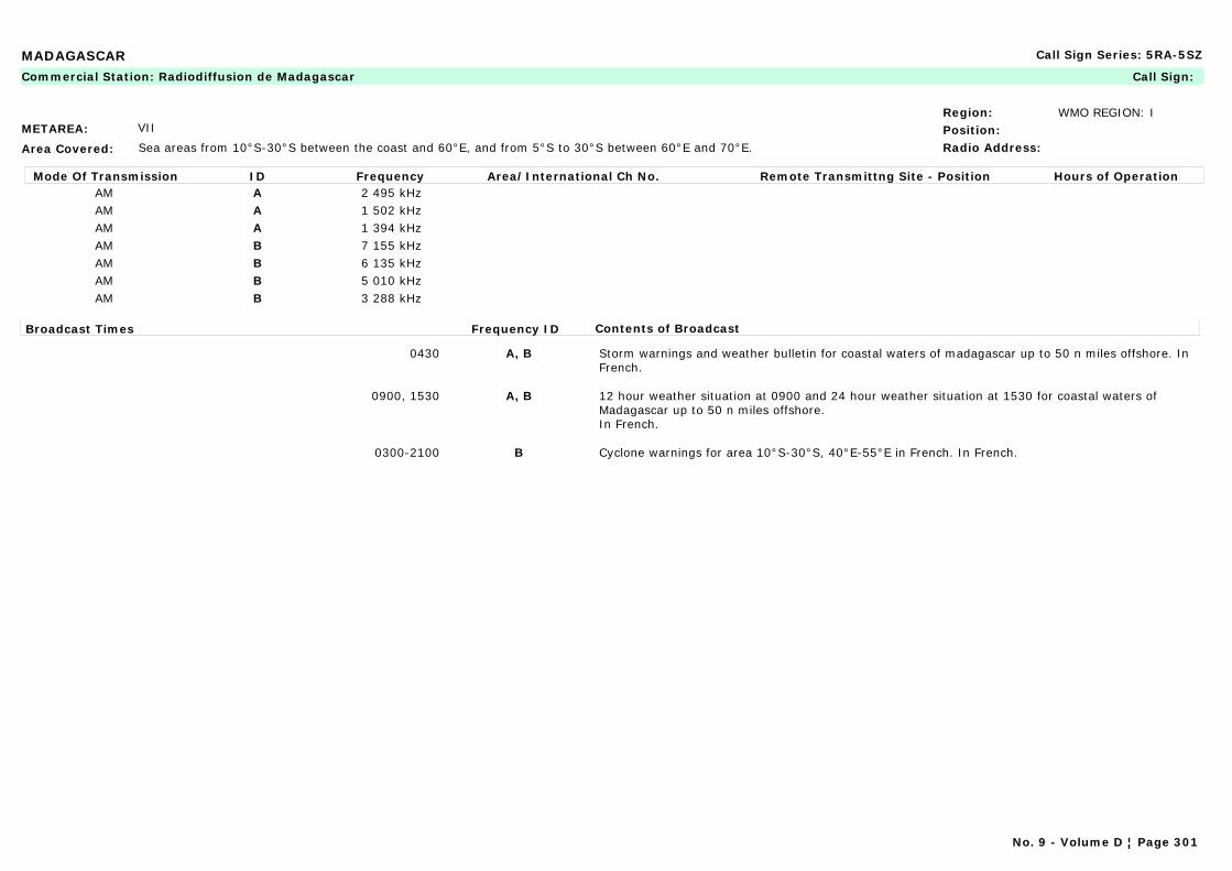
MADAGASCAR Call Sign Series: 5RA-5SZ
METAREA: VII
Area Covered: Sea areas from 10°S-30°S between the coast and 60°E, and from 5°S to 30°S between 60°E and 70°E.
Region: WMO REGION: IPosition:Radio Address:
Commercial Station: Radiodiffusion de Madagascar Call Sign:
Mode Of Transmission ID Frequency Area/International Ch No. Remote Transmittng Site - Position Hours of OperationAM A 2 495 kHzAM A 1 502 kHzAM A 1 394 kHzAM B 7 155 kHzAM B 6 135 kHzAM B 5 010 kHzAM B 3 288 kHz
Broadcast Times Frequency ID Contents of Broadcast
0430 A, B Storm warnings and weather bulletin for coastal waters of madagascar up to 50 n miles offshore. In French.
0900, 1530 A, B 12 hour weather situation at 0900 and 24 hour weather situation at 1530 for coastal waters of Madagascar up to 50 n miles offshore.In French.
0300-2100 B Cyclone warnings for area 10°S-30°S, 40°E-55°E in French. In French.
No. 9 - Volume D ¦ Page 301

MADEIRA (PORTUGAL) Call Sign Series:
METAREA: II
Area Covered: AREA 1: Coasts of Madeira within 20 nautical miles off the coast.
AREA 2:Eastern North Atlantic waters for: Sub-Zone 8: MADEIRA; Sub-Zone 21: CASABLANCA; Sub-Zone 22: AGADIR
Region: WMO REGION: IPosition: 33°04'N 16°21'ERadio Address:
Marine Rescue Co-ordination Centre: Porto Santo (Radionaval) Call Sign:
Mode Of Transmission ID Frequency Area/International Ch No. Remote Transmittng Site - Position Hours of OperationVHF A Ch 11
B 2 657 kHz
Broadcast Times Frequency ID Contents of Broadcast
1030, 1630 A AREA 1: ·Navigation warnings;·Gale, Storm and Poor Visibility warnings;·For 0705 (1905) broadcast: Synopsis of 00 (12) and Forecasts (wind, visibility, significant weather, sea and swell) valid for 24 hours from 06 (18).In Portuguese.
0735, 1935 B AREA 2: ·Navigation warnings within 200 nautical miles offshore coast of Madeira;Gale, Storm and Poor Visibility warnings;·For 0705 (1905) broadcast: Synopsis of 00 (12) and Forecasts (wind, visibility, significant weather, sea and swell) valid for 24 hours from 06 (18).In Portuguese.
0735, 1935 B AREA 1: ·Navigation warnings;·Gale, Storm and Poor Visibility warnings;·For 0705 (1905) broadcast: Synopsis of 00 (12) and Forecasts (wind, visibility, significant weather, sea and swell) valid for 24 hours from 06 (18).In Portuguese repeated in English.
No. 9 - Volume D ¦ Page 302
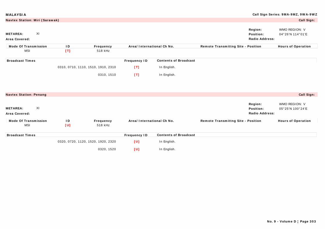
MALAYSIA Call Sign Series: 9MA-9MZ, 9WA-9WZ
METAREA: XI
Area Covered:
Region: WMO REGION: VPosition: 04°26'N 114°01'ERadio Address:
Navtex Station: Miri (Sarawak) Call Sign:
Mode Of Transmission ID Frequency Area/International Ch No. Remote Transmittng Site - Position Hours of OperationMSI [T] 518 kHz
Broadcast Times Frequency ID Contents of Broadcast
0310, 0710, 1110, 1510, 1910, 2310 [T] In English.
0310, 1510 [T] In English.
METAREA: XI
Area Covered:
Region: WMO REGION: VPosition: 05°25'N 100°24'ERadio Address:
Navtex Station: Penang Call Sign:
Mode Of Transmission ID Frequency Area/International Ch No. Remote Transmittng Site - Position Hours of OperationMSI [U] 518 kHz
Broadcast Times Frequency ID Contents of Broadcast
0320, 0720, 1120, 1520, 1920, 2320 [U] In English.
0320, 1520 [U] In English.
No. 9 - Volume D ¦ Page 303

MALAYSIA Call Sign Series: 9MA-9MZ, 9WA-9WZ
METAREA: XI
Area Covered:
Region: WMO REGION: VPosition: 5°54'N 118°00'ERadio Address:
Navtex Station: Sandakan (Sabah) Call Sign:
Mode Of Transmission ID Frequency Area/International Ch No. Remote Transmittng Site - Position Hours of OperationMSI [S] 518 kHz
Broadcast Times Frequency ID Contents of Broadcast
0300, 0700, 1100, 1500, 1900, 2300 [S] In English.
0300, 1500 [S] In English.
No. 9 - Volume D ¦ Page 304
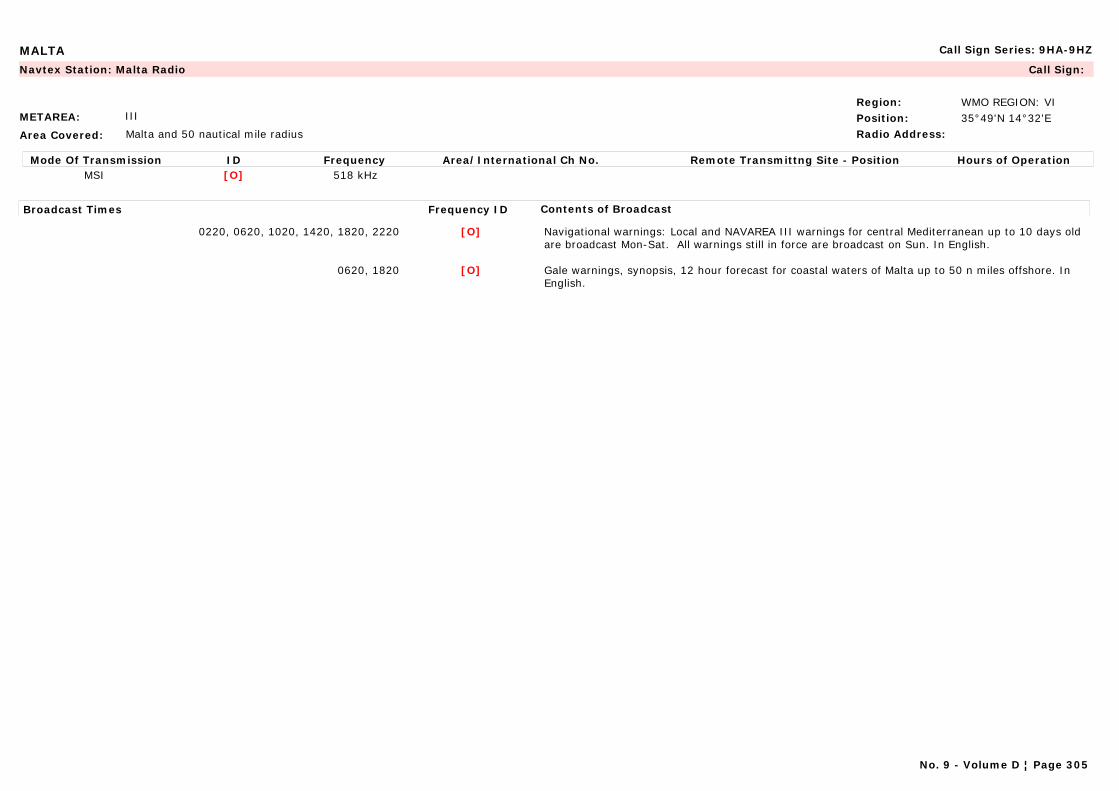
MALTA Call Sign Series: 9HA-9HZ
METAREA: III
Area Covered: Malta and 50 nautical mile radius
Region: WMO REGION: VIPosition: 35°49'N 14°32'ERadio Address:
Navtex Station: Malta Radio Call Sign:
Mode Of Transmission ID Frequency Area/International Ch No. Remote Transmittng Site - Position Hours of OperationMSI [O] 518 kHz
Broadcast Times Frequency ID Contents of Broadcast
0220, 0620, 1020, 1420, 1820, 2220 [O] Navigational warnings: Local and NAVAREA III warnings for central Mediterranean up to 10 days old are broadcast Mon-Sat. All warnings still in force are broadcast on Sun. In English.
0620, 1820 [O] Gale warnings, synopsis, 12 hour forecast for coastal waters of Malta up to 50 n miles offshore. In English.
No. 9 - Volume D ¦ Page 305
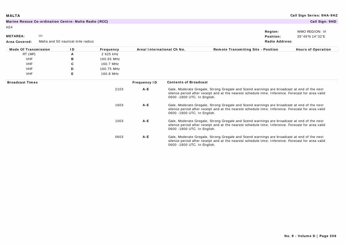
MALTA Call Sign Series: 9HA-9HZ
METAREA: III
Area Covered: Malta and 50 nautical mile radius
Region: WMO REGION: VIPosition: 35°49'N 14°32'ERadio Address:
Marine Rescue Co-ordination Centre: Malta Radio (RCC) Call Sign: 9HD
H24
Mode Of Transmission ID Frequency Area/International Ch No. Remote Transmittng Site - Position Hours of OperationRT (MF) A 2 625 kHz
VHF B 160.65 MHzVHF C 160.7 MHzVHF D 160.75 MHzVHF E 160.8 MHz
Broadcast Times Frequency ID Contents of Broadcast
2103 A-E Gale, Moderate Gregale, Strong Gregale and Scend warnings are broadcast at end of the next silence period after receipt and at the nearest schedule time. Inference. Forecast for area valid 0600 -1800 UTC. In English.
1603 A-E Gale, Moderate Gregale, Strong Gregale and Scend warnings are broadcast at end of the next silence period after receipt and at the nearest schedule time. Inference. Forecast for area valid 0600 -1800 UTC. In English.
1003 A-E Gale, Moderate Gregale, Strong Gregale and Scend warnings are broadcast at end of the next silence period after receipt and at the nearest schedule time. Inference. Forecast for area valid 0600 -1800 UTC. In English.
0603 A-E Gale, Moderate Gregale, Strong Gregale and Scend warnings are broadcast at end of the next silence period after receipt and at the nearest schedule time. Inference. Forecast for area valid 0600 -1800 UTC. In English.
No. 9 - Volume D ¦ Page 306
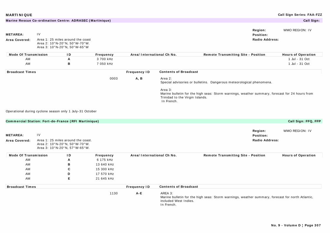
MARTINIQUE Call Sign Series: FAA-FZZ
METAREA: IV
Area Covered: Area 1: 25 miles around the coastArea 2: 10°N-20°N, 50°W-70°W.Area 3: 10°N-20°N, 50°W-65°W
Region: WMO REGION: IVPosition:Radio Address:
Marine Rescue Co-ordination Centre: ADRASEC (Martinique) Call Sign:
Mode Of Transmission ID Frequency Area/International Ch No. Remote Transmittng Site - Position Hours of OperationAM A 3 700 kHz 1 Jul - 31 OctAM B 7 050 kHz 1 Jul - 31 Oct
Broadcast Times Frequency ID Contents of Broadcast
0003 A, B Area 2:Special advisories or bulletins. Dangerous meteorological phenomena.
Area 3: Marine bulletin for the high seas: Storm warnings, weather summary, forecast for 24 hours from Trinidad to the Virgin Islands. In French.
Operational during cyclone season only 1 July-31 October
METAREA: IV
Area Covered: Area 1: 25 miles around the coast.Area 2: 10°N-20°N, 50°W-70°W.Area 3: 10°N-20°N, 57°W-65°W.
Region: WMO REGION: IVPosition:Radio Address:
Commercial Station: Fort-de-France (RFI Martinique) Call Sign: FFQ, FFP
Mode Of Transmission ID Frequency Area/International Ch No. Remote Transmittng Site - Position Hours of OperationAM A 6 175 kHzAM B 13 640 kHzAM C 15 300 kHzAM D 17 570 kHzAM E 21 645 kHz
Broadcast Times Frequency ID Contents of Broadcast
1130 A-E AREA 3:Marine bulletin for the high seas: Storm warnings, weather summary, forecast for north Atlantic, included West Indies.In French.
No. 9 - Volume D ¦ Page 307

MARTINIQUE Call Sign Series: FAA-FZZ
METAREA: IV
Area Covered: Area 1: 25 miles around the coast. Area 2: 10°N-20°N, 50°W-70°W.Area 3: 10°N-20°N, 57°W-65°W.
Region: WMO REGION: IVPosition:Radio Address:
Marine Rescue Co-ordination Centre: Martinique (CROSSAG) Call Sign:
Mode Of Transmission ID Frequency Area/International Ch No. Remote Transmittng Site - Position Hours of OperationAM G Call:2182 Bcst:2545 Martinique Martinique 14°36'N 61°04'WFM H Ch 11 MartiniqueFM I Call:Ch16 Bcst:Ch26 MartiniqueFM J Ch 80 Martinique La Caravelle 14°45'N 60°55'WFM J Ch 64 Martinique Grand-Rivière 14°52'N 61°11'WFM J Ch 80 Martinique Bigot-Bellefontaine 14°41'N 61°08'WFM J Ch 79 Martinique Le Marin 14°27'N 61°54'WFM K Call:Ch16 Bcst:Ch25 Martinique
Broadcast Times Frequency ID Contents of Broadcast
1333, 2215 G AREA 3:Marine bulletin for the high seas: Storm warnings, weather summary, forecast for 24 hours from Trinidad to the Virgin Islands.Answering machine available at : 08 92 68 08 08. In French and English.
1200-0000every 2 hours
G AREA 2 & 3: Special advisories or bulletins. Dangerous meteorological phenomena. In French and English.
1100-2300H+30
G-I AREA 1:Special advisories or bulletins. Dangerous meteorological phenomena. In French.
1530, 2300, 0100 H,I AREA 1: Marine bulletin for coastal areas: Storm warnings, weather summary, forecast for 24 hours, last observations, hours for tides.Answering machine available at : 08 92 68 08 08. In French.
1100-2300H+30
H,I AREA 3:Special advisories or bulletins. Dangerous meteorological phenomena. In French and English.
1100-2300H+33
H,K AREA 2: Special advisories or bulletins. Dangerous meteorological phenomena. In French and English.
1120-1450-2220-0020;1130-1500-2230-0030;1140-1510-2240-0040;1150-1520-2250-0050;
J AREA 1:Marine bulletin for coastal areas: Storm warnings, weather summary, forecast for 24 hours, last observations, hours for tides.Answering machine available at: 08 92 68 08 08. In French.
CROSSAG = Centre Régional Opérationnel de Surveillance et de Sauvetage Antilles Guyane)
No. 9 - Volume D ¦ Page 308
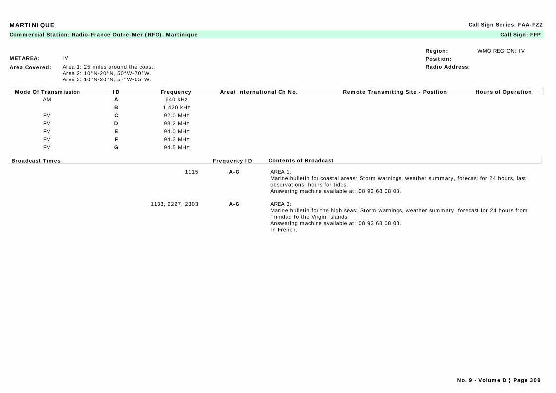
MARTINIQUE Call Sign Series: FAA-FZZ
METAREA: IV
Area Covered: Area 1: 25 miles around the coast.Area 2: 10°N-20°N, 50°W-70°W.Area 3: 10°N-20°N, 57°W-65°W.
Region: WMO REGION: IVPosition:Radio Address:
Commercial Station: Radio-France Outre-Mer (RFO), Martinique Call Sign: FFP
Mode Of Transmission ID Frequency Area/International Ch No. Remote Transmittng Site - Position Hours of OperationAM A 640 kHz
B 1 420 kHzFM C 92.0 MHzFM D 93.2 MHzFM E 94.0 MHzFM F 94.3 MHzFM G 94.5 MHz
Broadcast Times Frequency ID Contents of Broadcast
1115 A-G AREA 1: Marine bulletin for coastal areas: Storm warnings, weather summary, forecast for 24 hours, last observations, hours for tides.Answering machine available at: 08 92 68 08 08.
1133, 2227, 2303 A-G AREA 3: Marine bulletin for the high seas: Storm warnings, weather summary, forecast for 24 hours from Trinidad to the Virgin Islands.Answering machine available at: 08 92 68 08 08.In French.
No. 9 - Volume D ¦ Page 309
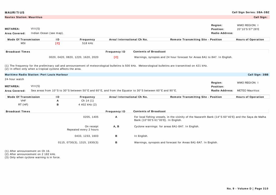
MAURITIUS Call Sign Series: 3BA-3BZ
METAREA: VIII(S)
Area Covered: Indian Ocean (see map).
Region: WMO REGION: IPosition: 20°10'S 57°28'ERadio Address:
Navtex Station: Mauritius Call Sign:
Mode Of Transmission ID Frequency Area/International Ch No. Remote Transmittng Site - Position Hours of OperationMSI [C] 518 kHz
Broadcast Times Frequency ID Contents of Broadcast
0020, 0420, 0820, 1220, 1620, 2020 [C] Warnings, synopsis and 24 hour forecast for Areas 8A1 to 8A7. In English.
(1) The frequency for the preliminary call and announcement of meteorological bulletins is 500 kHz. Meteorological bulletins are transmitted on 421 kHz. (2) In effect only when a tropical cyclone affects the area.
METAREA: VIII(S)
Area Covered: Sea areas from 10°S to 30°S between 50°E and 60°E, and from the Equator to 30°S between 60°E and 90°E.
Region: WMO REGION: IPosition:Radio Address: METEO Mauritius
Maritime Radio Station: Port Louis Harbour Call Sign: 3BB
24-hour watch
Mode Of Transmission ID Frequency Area/International Ch No. Remote Transmittng Site - Position Hours of OperationVHF A Ch 14 (1)
RT (HF) B 4 402 kHz (2)
Broadcast Times Frequency ID Contents of Broadcast
0205, 1405 A For local fishing vessels, in the vicinity of the Nazareth Bank (14°S 60°40'E) and the Saya de Malha Bank (10°00'S 61°00'E). In English.
On receiptRepeated every 2 hours
A, B Cyclone warnings: for areas 8A1-8A7. In English.
0433, 1233, 1603 B In English.
0115, 0730(3), 1315, 1930(3) B Warnings, synopsis and forecast for Areas 8A1-8A7. In English.
(1) After announcement on Ch 16.(2) After announcement on 2 182 kHz.(3) Only when cyclone warning is in force.
No. 9 - Volume D ¦ Page 310
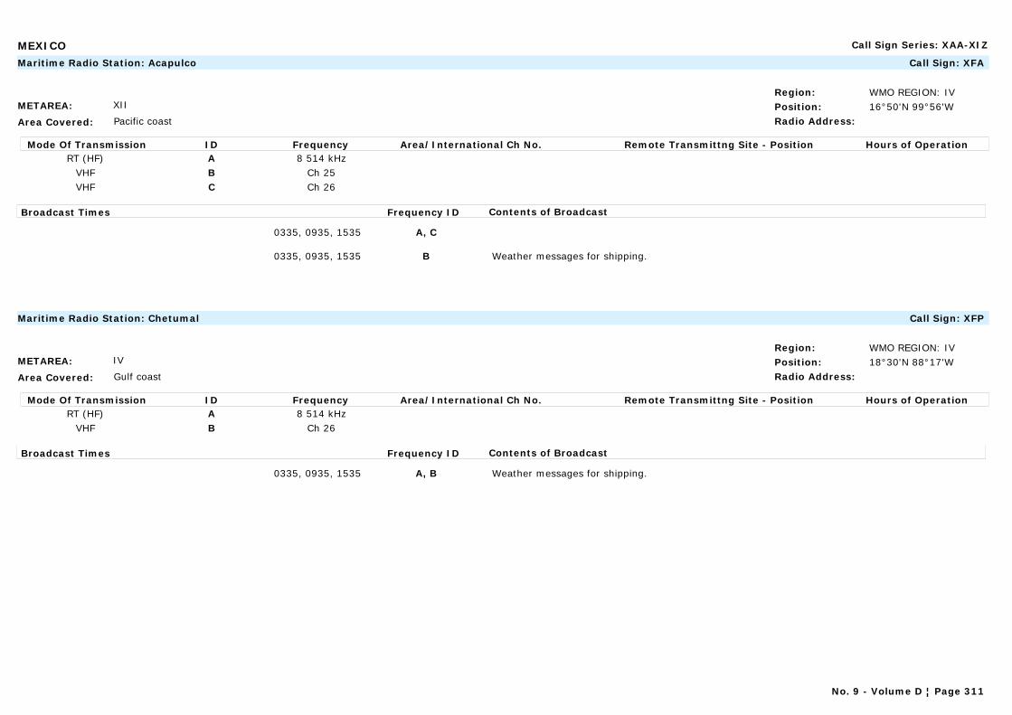
MEXICO Call Sign Series: XAA-XIZ
METAREA: XII
Area Covered: Pacific coast
Region: WMO REGION: IVPosition: 16°50'N 99°56'WRadio Address:
Maritime Radio Station: Acapulco Call Sign: XFA
Mode Of Transmission ID Frequency Area/International Ch No. Remote Transmittng Site - Position Hours of OperationRT (HF) A 8 514 kHz
VHF B Ch 25VHF C Ch 26
Broadcast Times Frequency ID Contents of Broadcast
0335, 0935, 1535 A, C
0335, 0935, 1535 B Weather messages for shipping.
METAREA: IV
Area Covered: Gulf coast
Region: WMO REGION: IVPosition: 18°30'N 88°17'WRadio Address:
Maritime Radio Station: Chetumal Call Sign: XFP
Mode Of Transmission ID Frequency Area/International Ch No. Remote Transmittng Site - Position Hours of OperationRT (HF) A 8 514 kHz
VHF B Ch 26
Broadcast Times Frequency ID Contents of Broadcast
0335, 0935, 1535 A, B Weather messages for shipping.
No. 9 - Volume D ¦ Page 311
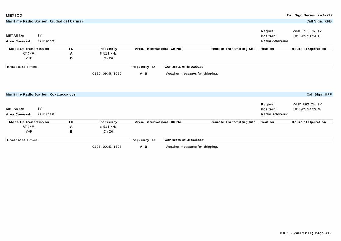
MEXICO Call Sign Series: XAA-XIZ
METAREA: IV
Area Covered: Gulf coast
Region: WMO REGION: IVPosition: 18°39'N 91°50'ERadio Address:
Maritime Radio Station: Ciudad del Carmen Call Sign: XFB
Mode Of Transmission ID Frequency Area/International Ch No. Remote Transmittng Site - Position Hours of OperationRT (HF) A 8 514 kHz
VHF B Ch 26
Broadcast Times Frequency ID Contents of Broadcast
0335, 0935, 1535 A, B Weather messages for shipping.
METAREA: IV
Area Covered: Gulf coast
Region: WMO REGION: IVPosition: 18°09'N 94°26'WRadio Address:
Maritime Radio Station: Coatzacoalcos Call Sign: XFF
Mode Of Transmission ID Frequency Area/International Ch No. Remote Transmittng Site - Position Hours of OperationRT (HF) A 8 514 kHz
VHF B Ch 26
Broadcast Times Frequency ID Contents of Broadcast
0335, 0935, 1535 A, B Weather messages for shipping.
No. 9 - Volume D ¦ Page 312
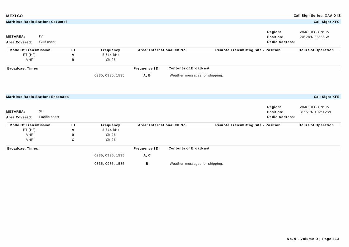
MEXICO Call Sign Series: XAA-XIZ
METAREA: IV
Area Covered: Gulf coast
Region: WMO REGION: IVPosition: 20°28'N 86°58'WRadio Address:
Maritime Radio Station: Cozumel Call Sign: XFC
Mode Of Transmission ID Frequency Area/International Ch No. Remote Transmittng Site - Position Hours of OperationRT (HF) A 8 514 kHz
VHF B Ch 26
Broadcast Times Frequency ID Contents of Broadcast
0335, 0935, 1535 A, B Weather messages for shipping.
METAREA: XII
Area Covered: Pacific coast
Region: WMO REGION: IVPosition: 31°51'N 102°12'WRadio Address:
Maritime Radio Station: Ensenada Call Sign: XFE
Mode Of Transmission ID Frequency Area/International Ch No. Remote Transmittng Site - Position Hours of OperationRT (HF) A 8 514 kHz
VHF B Ch 25VHF C Ch 26
Broadcast Times Frequency ID Contents of Broadcast
0335, 0935, 1535 A, C
0335, 0935, 1535 B Weather messages for shipping.
No. 9 - Volume D ¦ Page 313

MEXICO Call Sign Series: XAA-XIZ
METAREA: XII
Area Covered: Pacific coast
Region: WMO REGION: IVPosition: 17°51'N 102°12'ERadio Address:
Maritime Radio Station: Lazaro Cardenas Call Sign:
Mode Of Transmission ID Frequency Area/International Ch No. Remote Transmittng Site - Position Hours of OperationRT (HF) A 8 514 kHz
VHF B Ch 25VHF C Ch 26
Broadcast Times Frequency ID Contents of Broadcast
0335, 0935, 1535 A, C
0335, 0935, 1535 B Weather messages for shipping.
METAREA: XII
Area Covered: Pacific coast
Region: WMO REGION: IVPosition: 19°01'N 104°19'WRadio Address:
Maritime Radio Station: Manzanillo Call Sign: XFM
Mode Of Transmission ID Frequency Area/International Ch No. Remote Transmittng Site - Position Hours of OperationRT (HF) A 8 514 kHz
VHF B Ch 25VHF C Ch 26
Broadcast Times Frequency ID Contents of Broadcast
0335, 0935, 1535 A, C
0335, 0935, 1535 B Weather messages for shipping.
No. 9 - Volume D ¦ Page 314

MEXICO Call Sign Series: XAA-XIZ
METAREA: XII
Area Covered: Pacific coast
Region: WMO REGION: IVPosition: 23°10'N 106°26'WRadio Address:
Maritime Radio Station: Mazatlán Call Sign: XFL
Mode Of Transmission ID Frequency Area/International Ch No. Remote Transmittng Site - Position Hours of OperationRT (HF) A 8 514 kHz
VHF B Ch 25VHF C Ch 26
Broadcast Times Frequency ID Contents of Broadcast
0335, 0935, 1535 A, C
0335, 0935, 1535 B Weather messages for shipping.
METAREA: IV
Area Covered: Gulf coast
Region: WMO REGION: IVPosition:Radio Address:
Marine Rescue Co-ordination Centre: Mexican Army Call Sign:
Mode Of Transmission ID Frequency Area/International Ch No. Remote Transmittng Site - Position Hours of OperationVHF A Ch 12
Broadcast Times Frequency ID Contents of Broadcast
0915, 1515, 2115 (subject to delays up to 30 minutes) A Storm warnings and weather forecasts for the following regions:Region 1: from Mexico / US border to 23°N (Pta Jerez)Region 2: from 23°N (Pta Jerez) to 20°NRegion 3: from 20°N east to 93°WRegion 4: from 93°W to 87°W (Cabo Catoche)Region 5: from 22°N (Yucatan) to 18°N (Mexico / Belize border)In English.
No. 9 - Volume D ¦ Page 315
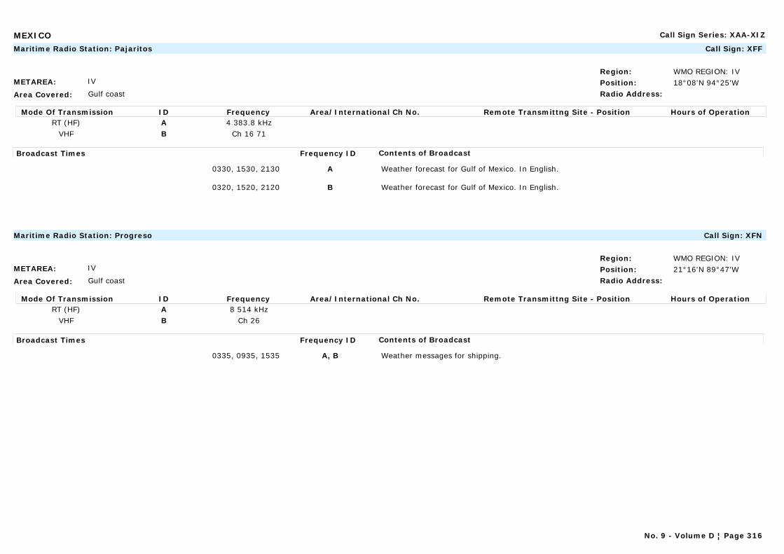
MEXICO Call Sign Series: XAA-XIZ
METAREA: IV
Area Covered: Gulf coast
Region: WMO REGION: IVPosition: 18°08'N 94°25'WRadio Address:
Maritime Radio Station: Pajaritos Call Sign: XFF
Mode Of Transmission ID Frequency Area/International Ch No. Remote Transmittng Site - Position Hours of OperationRT (HF) A 4 383.8 kHz
VHF B Ch 16 71
Broadcast Times Frequency ID Contents of Broadcast
0330, 1530, 2130 A Weather forecast for Gulf of Mexico. In English.
0320, 1520, 2120 B Weather forecast for Gulf of Mexico. In English.
METAREA: IV
Area Covered: Gulf coast
Region: WMO REGION: IVPosition: 21°16'N 89°47'WRadio Address:
Maritime Radio Station: Progreso Call Sign: XFN
Mode Of Transmission ID Frequency Area/International Ch No. Remote Transmittng Site - Position Hours of OperationRT (HF) A 8 514 kHz
VHF B Ch 26
Broadcast Times Frequency ID Contents of Broadcast
0335, 0935, 1535 A, B Weather messages for shipping.
No. 9 - Volume D ¦ Page 316
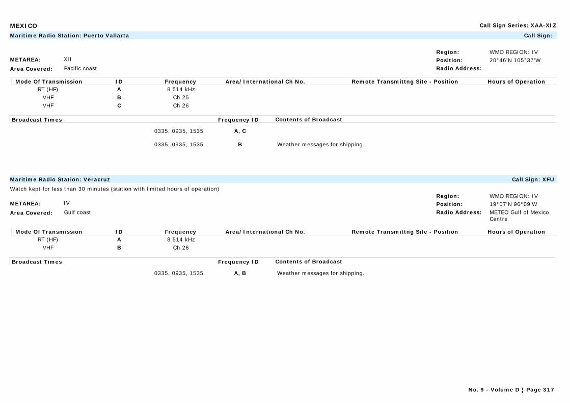
MEXICO Call Sign Series: XAA-XIZ
METAREA: XII
Area Covered: Pacific coast
Region: WMO REGION: IVPosition: 20°46'N 105°37'WRadio Address:
Maritime Radio Station: Puerto Vallarta Call Sign:
Mode Of Transmission ID Frequency Area/International Ch No. Remote Transmittng Site - Position Hours of OperationRT (HF) A 8 514 kHz
VHF B Ch 25VHF C Ch 26
Broadcast Times Frequency ID Contents of Broadcast
0335, 0935, 1535 A, C
0335, 0935, 1535 B Weather messages for shipping.
METAREA: IV
Area Covered: Gulf coast
Region: WMO REGION: IVPosition: 19°07'N 96°09'WRadio Address: METEO Gulf of Mexico
Centre
Maritime Radio Station: Veracruz Call Sign: XFU
Watch kept for less than 30 minutes (station with limited hours of operation)
Mode Of Transmission ID Frequency Area/International Ch No. Remote Transmittng Site - Position Hours of OperationRT (HF) A 8 514 kHz
VHF B Ch 26
Broadcast Times Frequency ID Contents of Broadcast
0335, 0935, 1535 A, B Weather messages for shipping.
No. 9 - Volume D ¦ Page 317
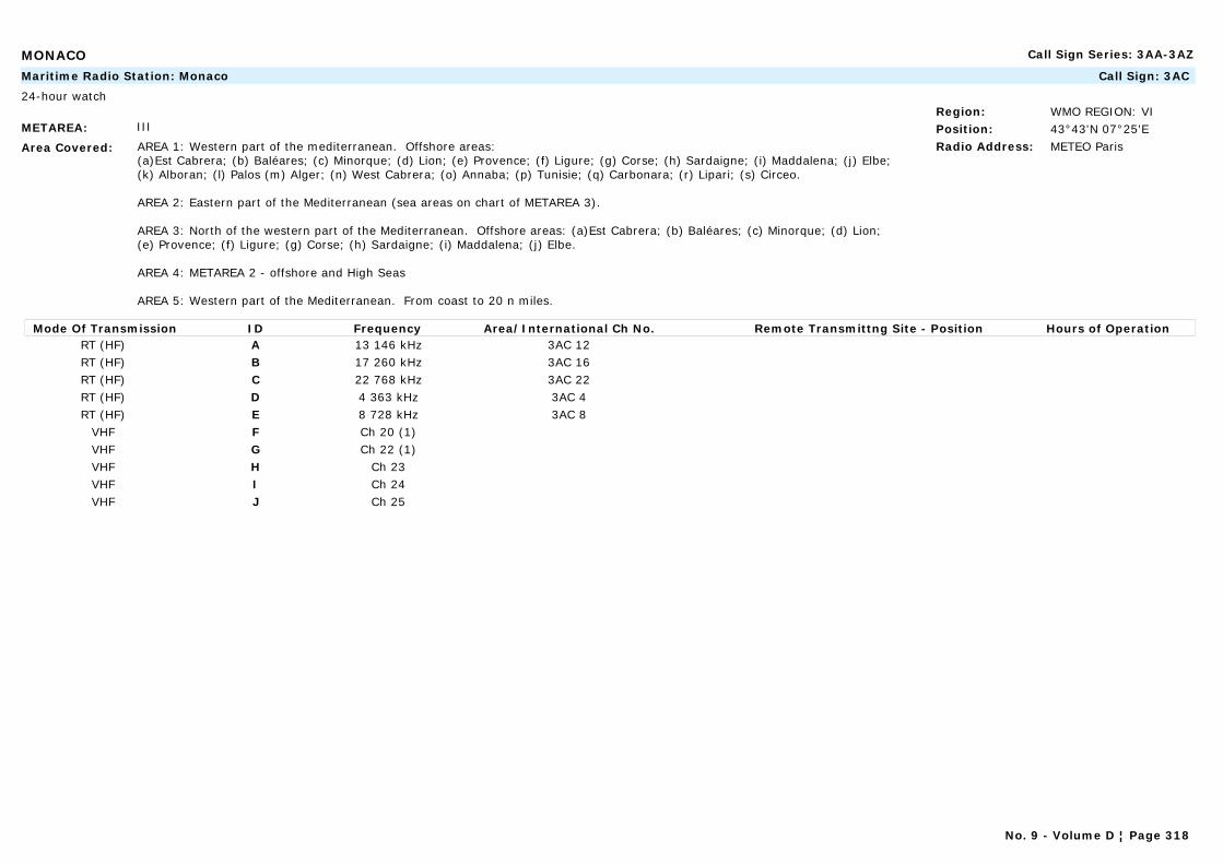
MONACO Call Sign Series: 3AA-3AZ
METAREA: III
Area Covered: AREA 1: Western part of the mediterranean. Offshore areas: (a)Est Cabrera; (b) Baléares; (c) Minorque; (d) Lion; (e) Provence; (f) Ligure; (g) Corse; (h) Sardaigne; (i) Maddalena; (j) Elbe; (k) Alboran; (l) Palos (m) Alger; (n) West Cabrera; (o) Annaba; (p) Tunisie; (q) Carbonara; (r) Lipari; (s) Circeo.
AREA 2: Eastern part of the Mediterranean (sea areas on chart of METAREA 3).
AREA 3: North of the western part of the Mediterranean. Offshore areas: (a)Est Cabrera; (b) Baléares; (c) Minorque; (d) Lion; (e) Provence; (f) Ligure; (g) Corse; (h) Sardaigne; (i) Maddalena; (j) Elbe.
AREA 4: METAREA 2 - offshore and High Seas
AREA 5: Western part of the Mediterranean. From coast to 20 n miles.
Region: WMO REGION: VIPosition: 43°43'N 07°25'ERadio Address: METEO Paris
Maritime Radio Station: Monaco Call Sign: 3AC
24-hour watch
Mode Of Transmission ID Frequency Area/International Ch No. Remote Transmittng Site - Position Hours of OperationRT (HF) A 13 146 kHz 3AC 12RT (HF) B 17 260 kHz 3AC 16RT (HF) C 22 768 kHz 3AC 22RT (HF) D 4 363 kHz 3AC 4RT (HF) E 8 728 kHz 3AC 8
VHF F Ch 20 (1)VHF G Ch 22 (1)VHF H Ch 23VHF I Ch 24VHF J Ch 25
No. 9 - Volume D ¦ Page 318
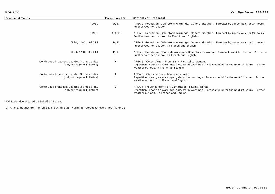
MONACO Call Sign Series: 3AA-3AZ
Broadcast Times Frequency ID Contents of Broadcast
1030 A, E AREA 2: Repetition: Gale/storm warnings. General situation. Forecast by zones valid for 24 hours. Further weather outlook.
0930 A-C, E AREA 3: Repetition: Gale/storm warnings. General situation. Forecast by zones valid for 24 hours. Further weather outlook. In French and English.
0930, 1403, 1930 LT D, E AREA 1: Repetition: Gale/storm warnings. General situation. Forecast by zones valid for 24 hours. Further weather outlook. In French and English.
0930, 1403, 1930 LT F, G AREA 3: Repetition: Near gale warnings, Gale/storm warnings. Forecast valid for the next 24 hours. Further weather outlook. In French and English.
Continuous broadcast updated 3 times a day(only for regular bulletins)
H AREA 5: Côtes d'Azur: From Saint-Raphaël to Menton.Repetition: near gale warnings, gale/storm warnings. Forecast valid for the next 24 hours. Further weather outlook. In French and English.
Continuous broadcast updated 3 times a day(only for regular bulletins)
I AREA 5: Côtes de Corse (Corsican coasts)Repetition: near gale warnings, gale/storm warnings. Forecast valid for the next 24 hours. Further weather outlook. In French and English.
Continuous broadcast updated 3 times a day(only for regular bulletins)
J AREA 5: Provence from Port Camarague to Saint RaphaëlRepetition: near gale warnings, gale/storm warnings. Forecast valid for the next 24 hours. Further weather outlook. In French and English.
NOTE: Service assured on behalf of France.
(1) After announcement on Ch 16, including BMS (warnings) broadcast every hour at H+03.
No. 9 - Volume D ¦ Page 319
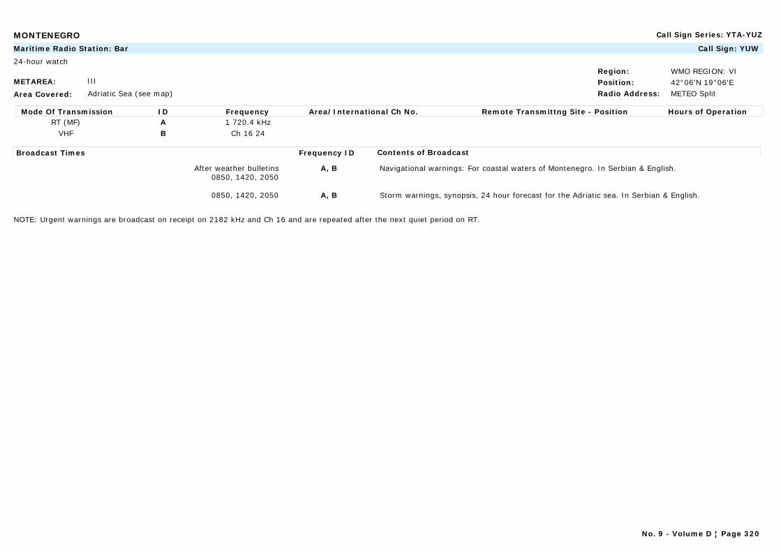
MONTENEGRO Call Sign Series: YTA-YUZ
METAREA: III
Area Covered: Adriatic Sea (see map)
Region: WMO REGION: VIPosition: 42°06'N 19°06'ERadio Address: METEO Split
Maritime Radio Station: Bar Call Sign: YUW
24-hour watch
Mode Of Transmission ID Frequency Area/International Ch No. Remote Transmittng Site - Position Hours of OperationRT (MF) A 1 720.4 kHz
VHF B Ch 16 24
Broadcast Times Frequency ID Contents of Broadcast
After weather bulletins0850, 1420, 2050
A, B Navigational warnings: For coastal waters of Montenegro. In Serbian & English.
0850, 1420, 2050 A, B Storm warnings, synopsis, 24 hour forecast for the Adriatic sea. In Serbian & English.
NOTE: Urgent warnings are broadcast on receipt on 2182 kHz and Ch 16 and are repeated after the next quiet period on RT.
No. 9 - Volume D ¦ Page 320

MOROCCO Call Sign Series: CNA-CNZ
METAREA: II
Area Covered: Coastal waters and area "LARGE MAROC"
Region: WMO REGION: IPosition: 30°22'N 09°33'WRadio Address: METEO Agadir
Maritime Radio Station: Agadir Call Sign: CND
24-hour watch
Mode Of Transmission ID Frequency Area/International Ch No. Remote Transmittng Site - Position Hours of OperationRT (MF) A 1 911 kHzRT (MF) B 13 080 kHz
Broadcast Times Frequency ID Contents of Broadcast
0937, 1637 A, B Situation, development, forecasts valid for 30 hours and coastal swell warning.Special weather bulletin: Gale, storm, hurricane and coastal swell warning for the area affected. In French.
METAREA: II
Area Covered: Coastal waters and area "LARGE MAROC"
Region: WMO REGION: IPosition: 33°37'N 07°38'WRadio Address: METEO Casablanca
Maritime Radio Station: Casablanca Call Sign: CNP
24-hour watch
Mode Of Transmission ID Frequency Area/International Ch No. Remote Transmittng Site - Position Hours of OperationRT (MF) A 2 586 kHzRT (MF) B 2 182 kHz
Broadcast Times Frequency ID Contents of Broadcast
0945, 1645 A Situation, development, forecasts valid for 30 hours and coastal swell warning.Special weather bulletin: Gale, storm, hurricane and coastal swell warning for the area affected. In French.
On receipt and H+33 B Situation, development, forecasts valid for 30 hours and coastal swell warning.Special weather bulletin: Gale, storm, hurricane and coastal swell warning for the area affected. In French.
No. 9 - Volume D ¦ Page 321
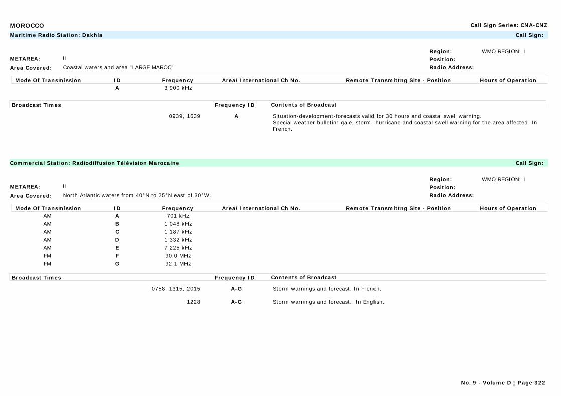
MOROCCO Call Sign Series: CNA-CNZ
METAREA: II
Area Covered: Coastal waters and area "LARGE MAROC"
Region: WMO REGION: IPosition:Radio Address:
Maritime Radio Station: Dakhla Call Sign:
Mode Of Transmission ID Frequency Area/International Ch No. Remote Transmittng Site - Position Hours of OperationA 3 900 kHz
Broadcast Times Frequency ID Contents of Broadcast
0939, 1639 A Situation-development-forecasts valid for 30 hours and coastal swell warning.Special weather bulletin: gale, storm, hurricane and coastal swell warning for the area affected. In French.
METAREA: II
Area Covered: North Atlantic waters from 40°N to 25°N east of 30°W.
Region: WMO REGION: IPosition:Radio Address:
Commercial Station: Radiodiffusion Télévision Marocaine Call Sign:
Mode Of Transmission ID Frequency Area/International Ch No. Remote Transmittng Site - Position Hours of OperationAM A 701 kHzAM B 1 048 kHzAM C 1 187 kHzAM D 1 332 kHzAM E 7 225 kHzFM F 90.0 MHzFM G 92.1 MHz
Broadcast Times Frequency ID Contents of Broadcast
0758, 1315, 2015 A-G Storm warnings and forecast. In French.
1228 A-G Storm warnings and forecast. In English.
No. 9 - Volume D ¦ Page 322
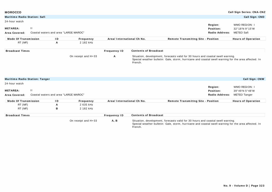
MOROCCO Call Sign Series: CNA-CNZ
METAREA: II
Area Covered: Coastal waters and area "LARGE MAROC"
Region: WMO REGION: IPosition: 32°18'N 9°15'WRadio Address: METEO Safi
Maritime Radio Station: Safi Call Sign: CND
24-hour watch
Mode Of Transmission ID Frequency Area/International Ch No. Remote Transmittng Site - Position Hours of OperationRT (MF) A 2 182 kHz
Broadcast Times Frequency ID Contents of Broadcast
On receipt and H+03 A Situation, development, forecasts valid for 30 hours and coastal swell warning.Special weather bulletin: Gale, storm, hurricane and coastal swell warning for the area affected. In French.
METAREA: II
Area Covered: Coastal waters and area "LARGE MAROC"
Region: WMO REGION: IPosition: 39°49'N 5°48'WRadio Address: METEO Tanger
Maritime Radio Station: Tanger Call Sign: CNW
24-hour watch
Mode Of Transmission ID Frequency Area/International Ch No. Remote Transmittng Site - Position Hours of OperationRT (MF) A 2 635 kHzRT (MF) B 2 182 kHz
Broadcast Times Frequency ID Contents of Broadcast
On receipt and H+03 A, B Situation, development, forecasts valid for 30 hours and coastal swell warning.Special weather bulletin: Gale, storm, hurricane and coastal swell warning for the area affected. In French.
No. 9 - Volume D ¦ Page 323
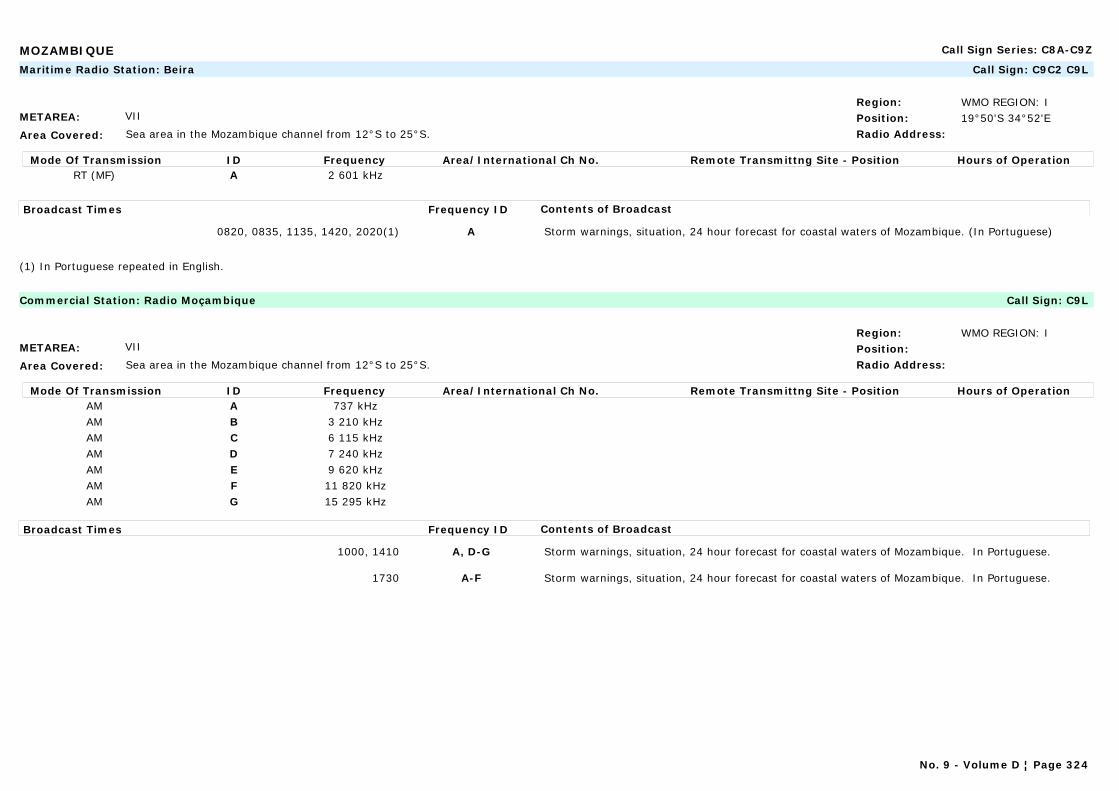
MOZAMBIQUE Call Sign Series: C8A-C9Z
METAREA: VII
Area Covered: Sea area in the Mozambique channel from 12°S to 25°S.
Region: WMO REGION: IPosition: 19°50'S 34°52'ERadio Address:
Maritime Radio Station: Beira Call Sign: C9C2 C9L
Mode Of Transmission ID Frequency Area/International Ch No. Remote Transmittng Site - Position Hours of OperationRT (MF) A 2 601 kHz
Broadcast Times Frequency ID Contents of Broadcast
0820, 0835, 1135, 1420, 2020(1) A Storm warnings, situation, 24 hour forecast for coastal waters of Mozambique. (In Portuguese)
(1) In Portuguese repeated in English.
METAREA: VII
Area Covered: Sea area in the Mozambique channel from 12°S to 25°S.
Region: WMO REGION: IPosition:Radio Address:
Commercial Station: Radio Moçambique Call Sign: C9L
Mode Of Transmission ID Frequency Area/International Ch No. Remote Transmittng Site - Position Hours of OperationAM A 737 kHzAM B 3 210 kHzAM C 6 115 kHzAM D 7 240 kHzAM E 9 620 kHzAM F 11 820 kHzAM G 15 295 kHz
Broadcast Times Frequency ID Contents of Broadcast
1000, 1410 A, D-G Storm warnings, situation, 24 hour forecast for coastal waters of Mozambique. In Portuguese.
1730 A-F Storm warnings, situation, 24 hour forecast for coastal waters of Mozambique. In Portuguese.
No. 9 - Volume D ¦ Page 324
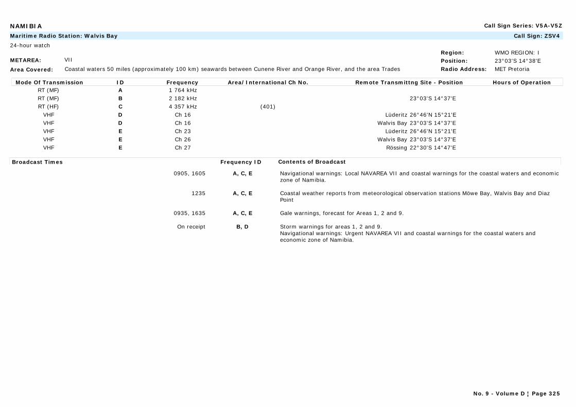
NAMIBIA Call Sign Series: V5A-V5Z
METAREA: VII
Area Covered: Coastal waters 50 miles (approximately 100 km) seawards between Cunene River and Orange River, and the area Trades
Region: WMO REGION: IPosition: 23°03'S 14°38'ERadio Address: MET Pretoria
Maritime Radio Station: Walvis Bay Call Sign: ZSV4
24-hour watch
Mode Of Transmission ID Frequency Area/International Ch No. Remote Transmittng Site - Position Hours of OperationRT (MF) A 1 764 kHzRT (MF) B 2 182 kHz 23°03'S 14°37'ERT (HF) C 4 357 kHz (401)
VHF D Ch 16 Lüderitz 26°46'N 15°21'EVHF D Ch 16 Walvis Bay 23°03'S 14°37'EVHF E Ch 23 Lüderitz 26°46'N 15°21'EVHF E Ch 26 Walvis Bay 23°03'S 14°37'EVHF E Ch 27 Rössing 22°30'S 14°47'E
Broadcast Times Frequency ID Contents of Broadcast
0905, 1605 A, C, E Navigational warnings: Local NAVAREA VII and coastal warnings for the coastal waters and economic zone of Namibia.
1235 A, C, E Coastal weather reports from meteorological observation stations Möwe Bay, Walvis Bay and Diaz Point
0935, 1635 A, C, E Gale warnings, forecast for Areas 1, 2 and 9.
On receipt B, D Storm warnings for areas 1, 2 and 9.Navigational warnings: Urgent NAVAREA VII and coastal warnings for the coastal waters and economic zone of Namibia.
No. 9 - Volume D ¦ Page 325
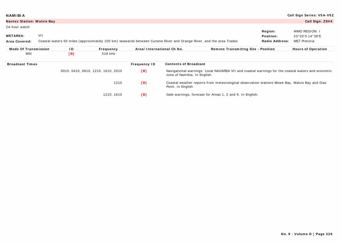
NAMIBIA Call Sign Series: V5A-V5Z
METAREA: VII
Area Covered: Coastal waters 50 miles (approximately 100 km) seawards between Cunene River and Orange River, and the area Trades
Region: WMO REGION: IPosition: 23°03'S 14°38'ERadio Address: MET Pretoria
Navtex Station: Walvis Bay Call Sign: ZSV4
24-hour watch
Mode Of Transmission ID Frequency Area/International Ch No. Remote Transmittng Site - Position Hours of OperationMSI [B] 518 kHz
Broadcast Times Frequency ID Contents of Broadcast
0010, 0410, 0810, 1210, 1610, 2010 [B] Navigational warnings: Local NAVAREA VII and coastal warnings for the coastal waters and economic zone of Namibia. In English.
1210 [B] Coastal weather reports from meteorological observation stations Mowe Bay, Walvis Bay and Diaz Point. In English.
1210, 1610 [B] Gale warnings, forecast for Areas 1, 2 and 9. In English.
No. 9 - Volume D ¦ Page 326
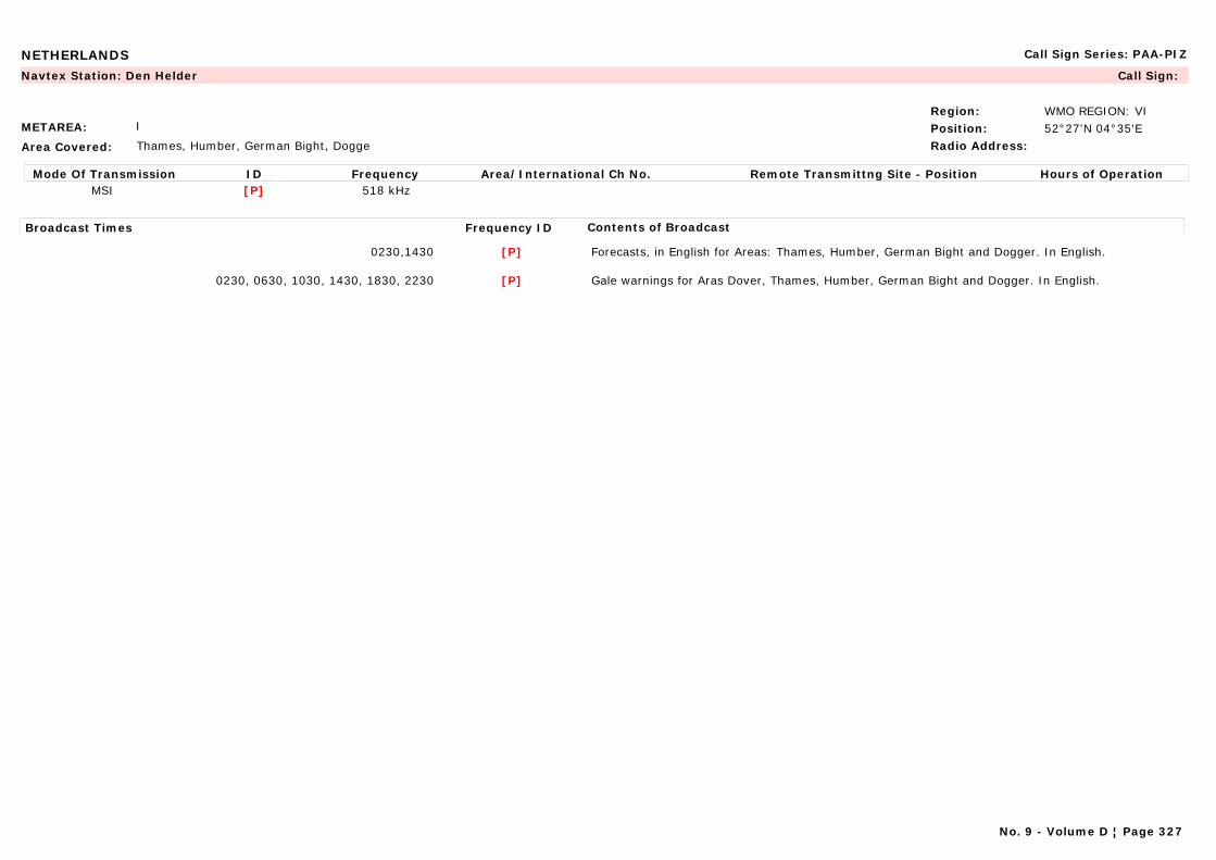
NETHERLANDS Call Sign Series: PAA-PIZ
METAREA: I
Area Covered: Thames, Humber, German Bight, Dogge
Region: WMO REGION: VIPosition: 52°27'N 04°35'ERadio Address:
Navtex Station: Den Helder Call Sign:
Mode Of Transmission ID Frequency Area/International Ch No. Remote Transmittng Site - Position Hours of OperationMSI [P] 518 kHz
Broadcast Times Frequency ID Contents of Broadcast
0230,1430 [P] Forecasts, in English for Areas: Thames, Humber, German Bight and Dogger. In English.
0230, 0630, 1030, 1430, 1830, 2230 [P] Gale warnings for Aras Dover, Thames, Humber, German Bight and Dogger. In English.
No. 9 - Volume D ¦ Page 327
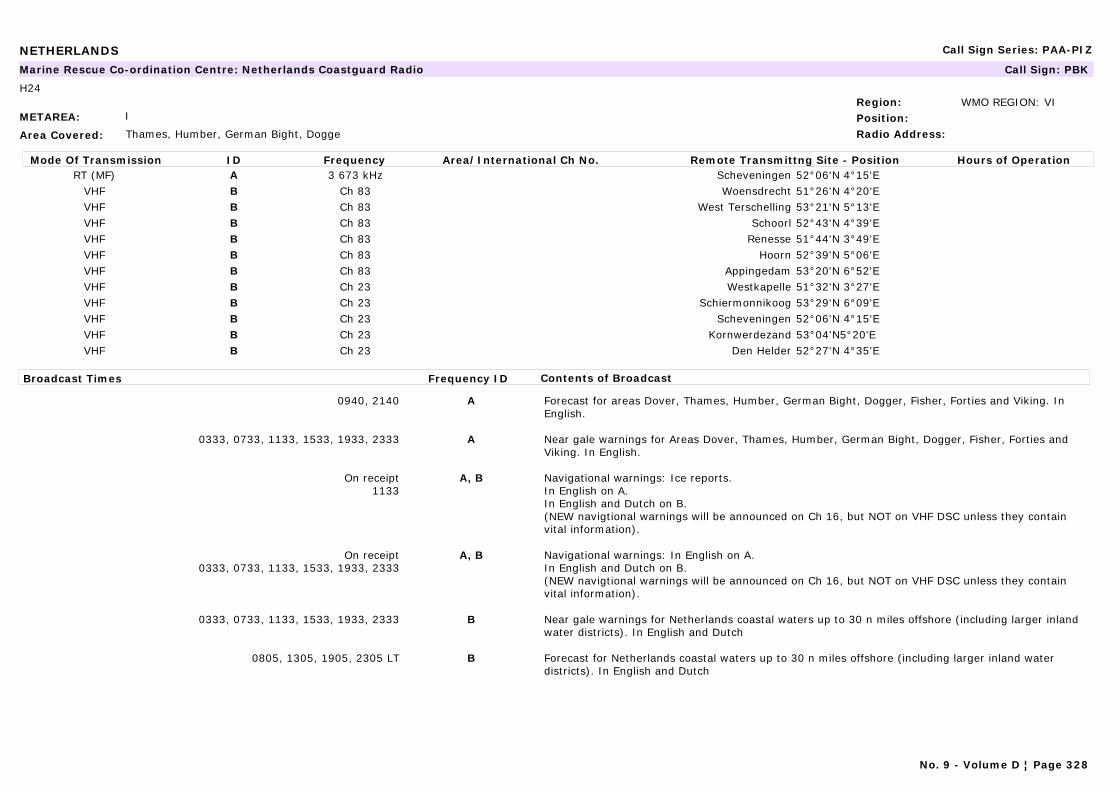
NETHERLANDS Call Sign Series: PAA-PIZ
METAREA: I
Area Covered: Thames, Humber, German Bight, Dogge
Region: WMO REGION: VIPosition:Radio Address:
Marine Rescue Co-ordination Centre: Netherlands Coastguard Radio Call Sign: PBK
H24
Mode Of Transmission ID Frequency Area/International Ch No. Remote Transmittng Site - Position Hours of OperationRT (MF) A 3 673 kHz Scheveningen 52°06'N 4°15'E
VHF B Ch 83 Woensdrecht 51°26'N 4°20'EVHF B Ch 83 West Terschelling 53°21'N 5°13'EVHF B Ch 83 Schoorl 52°43'N 4°39'EVHF B Ch 83 Renesse 51°44'N 3°49'EVHF B Ch 83 Hoorn 52°39'N 5°06'EVHF B Ch 83 Appingedam 53°20'N 6°52'EVHF B Ch 23 Westkapelle 51°32'N 3°27'EVHF B Ch 23 Schiermonnikoog 53°29'N 6°09'EVHF B Ch 23 Scheveningen 52°06'N 4°15'EVHF B Ch 23 Kornwerdezand 53°04'N5°20'EVHF B Ch 23 Den Helder 52°27'N 4°35'E
Broadcast Times Frequency ID Contents of Broadcast
0940, 2140 A Forecast for areas Dover, Thames, Humber, German Bight, Dogger, Fisher, Forties and Viking. In English.
0333, 0733, 1133, 1533, 1933, 2333 A Near gale warnings for Areas Dover, Thames, Humber, German Bight, Dogger, Fisher, Forties and Viking. In English.
On receipt1133
A, B Navigational warnings: Ice reports. In English on A.In English and Dutch on B.(NEW navigtional warnings will be announced on Ch 16, but NOT on VHF DSC unless they contain vital information).
On receipt0333, 0733, 1133, 1533, 1933, 2333
A, B Navigational warnings: In English on A.In English and Dutch on B.(NEW navigtional warnings will be announced on Ch 16, but NOT on VHF DSC unless they contain vital information).
0333, 0733, 1133, 1533, 1933, 2333 B Near gale warnings for Netherlands coastal waters up to 30 n miles offshore (including larger inland water districts). In English and Dutch
0805, 1305, 1905, 2305 LT B Forecast for Netherlands coastal waters up to 30 n miles offshore (including larger inland water districts). In English and Dutch
No. 9 - Volume D ¦ Page 328
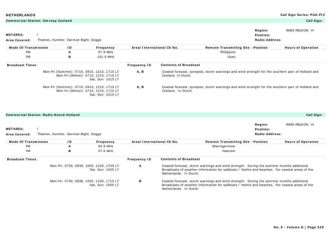
NETHERLANDS Call Sign Series: PAA-PIZ
METAREA: I
Area Covered: Thames, Humber, German Bight, Dogge
Region: WMO REGION: VIPosition:Radio Address:
Commercial Station: Omroep Zeeland Call Sign:
Mode Of Transmission ID Frequency Area/International Ch No. Remote Transmittng Site - Position Hours of OperationFM A 97.8 MHz PhilippineFM B 101.9 MHz Goes
Broadcast Times Frequency ID Contents of Broadcast
Mon-Fri (Summer): 0715, 0915, 1215, 1715 LTMon-Fri (Winter): 0715, 1215, 1715 LT
Sat, Sun: 1015 LT
A, B Coastal forecast, synopsis, storm warnings and wind strength for the southern part of Holland and Zeeland. In Dutch.
Mon-Fri (Summer): 0715, 0915, 1215, 1715 LTMon-Fri (Winter): 0715, 1215, 1715 LT
Sat, Sun: 1015 LT
A, B Coastal forecast, synopsis, storm warnings and wind strength for the southern part of Holland and Zeeland. In Dutch.
METAREA: I
Area Covered: Thames, Humber, German Bight, Dogge
Region: WMO REGION: VIPosition:Radio Address:
Commercial Station: Radio Noord-Holland Call Sign:
Mode Of Transmission ID Frequency Area/International Ch No. Remote Transmittng Site - Position Hours of OperationFM A 93.9 MHz WieringermeerFM B 97.6 MHz Haarlem
Broadcast Times Frequency ID Contents of Broadcast
Mon-Fri: 0730, 0838, 1005, 1230, 1705 LTSat, Sun: 1005 LT
A Coastal forecast, storm warnings and wind strength. During the summer months additional Broadcasts of weather information for sailboats / Yachts and beaches. For coastal areas of the Netherlands. In Dutch.
Mon-Fri: 0730, 0838, 1005, 1230, 1715 LTSat, Sun: 1005 LT
B Coastal forecast, storm warnings and wind strength. During the summer months additional Broadcasts of weather information for sailboats / Yachts and beaches. For coastal areas of the Netherlands. In Dutch.
No. 9 - Volume D ¦ Page 329

NEW AMSTERDAM ISLAND (FRANCE) Call Sign Series: FAA-FZZ
METAREA: VII
Area Covered: Area from 30°S to 50°S and 50°E to 80°E
Region: WMO REGION: IPosition:Radio Address:
Maritime Radio Station: Martin de Vivies (New Amsterdam Island) OR Port-aux-Français (Kerguelen Island) Call Sign: FJY
Mode Of Transmission ID Frequency Area/International Ch No. Remote Transmittng Site - Position Hours of OperationA 3 885 kHz FJY4
Broadcast Times Frequency ID Contents of Broadcast
On request A Marine bulletin. Forecasts valid for 24 hours. Storm warnings. In French and English.
No. 9 - Volume D ¦ Page 330
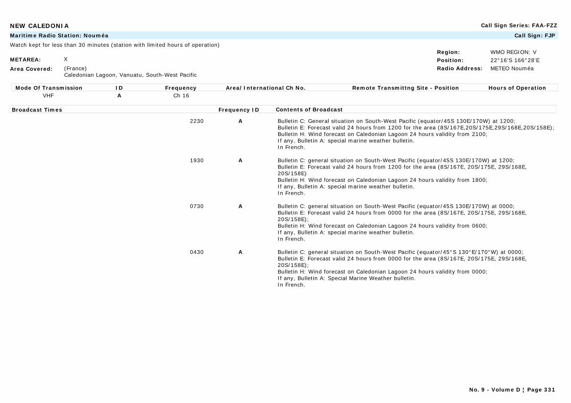
NEW CALEDONIA Call Sign Series: FAA-FZZ
METAREA: X
Area Covered: (France) Caledonian Lagoon, Vanuatu, South-West Pacific
Region: WMO REGION: VPosition: 22°16'S 166°28'ERadio Address: METEO Nouméa
Maritime Radio Station: Nouméa Call Sign: FJP
Watch kept for less than 30 minutes (station with limited hours of operation)
Mode Of Transmission ID Frequency Area/International Ch No. Remote Transmittng Site - Position Hours of OperationVHF A Ch 16
Broadcast Times Frequency ID Contents of Broadcast
2230 A Bulletin C: General situation on South-West Pacific (equator/45S 130E/170W) at 1200;Bulletin E: Forecast valid 24 hours from 1200 for the area (8S/167E,20S/175E,29S/168E,20S/158E);Bulletin H: Wind forecast on Caledonian Lagoon 24 hours validity from 2100;If any, Bulletin A: special marine weather bulletin.In French.
1930 A Bulletin C: general situation on South-West Pacific (equator/45S 130E/170W) at 1200;Bulletin E: Forecast valid 24 hours from 1200 for the area (8S/167E, 20S/175E, 29S/168E, 20S/158E)Bulletin H: Wind forecast on Caledonian Lagoon 24 hours validity from 1800;If any, Bulletin A: special marine weather bulletin.In French.
0730 A Bulletin C: general situation on South-West Pacific (equator/45S 130E/170W) at 0000;Bulletin E: Forecast valid 24 hours from 0000 for the area (8S/167E, 20S/175E, 29S/168E, 20S/158E);Bulletin H: Wind forecast on Caledonian Lagoon 24 hours validity from 0600;If any, Bulletin A: special marine weather bulletin.In French.
0430 A Bulletin C: general situation on South-West Pacific (equator/45°S 130°E/170°W) at 0000;Bulletin E: Forecast valid 24 hours from 0000 for the area (8S/167E, 20S/175E, 29S/168E, 20S/158E);Bulletin H: Wind forecast on Caledonian Lagoon 24 hours validity from 0000;If any, Bulletin A: Special Marine Weather bulletin.In French.
No. 9 - Volume D ¦ Page 331
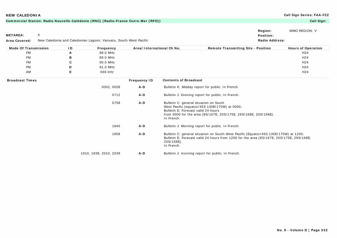
NEW CALEDONIA Call Sign Series: FAA-FZZ
METAREA: X
Area Covered: New Caledonia and Caledonian Lagoon, Vanuatu, South-West Pacific
Region: WMO REGION: VPosition:Radio Address:
Commercial Station: Radio Nouvelle-Calédonie (RNC) (Radio-France Outre-Mer (RFO)) Call Sign:
Mode Of Transmission ID Frequency Area/International Ch No. Remote Transmittng Site - Position Hours of OperationFM A 88.0 MHz H24FM B 89.0 MHz H24FM C 90.0 MHz H24FM D 91.0 MHz H24AM E 666 kHz H24
Broadcast Times Frequency ID Contents of Broadcast
0002, 0058 A-D Bulletin K: Midday report for public. In French.
0712 A-D Bulletin J: Evening report for public. In French.
0758 A-D Bulletin C: general situation on South West Pacific (equator/45S 130E/170W) at 0000;Bulletin E: Forecast valid 24 hours from 0000 for the area (8S/167E, 20S/175E, 29S/168E, 20S/158E).In French.
1840 A-D Bulletin J: Morning report for public. In French.
1858 A-D Bulletin C: general situation on South-West Pacific (Equator/45S 130E/170W) at 1200;Bulletin E: Forecast valid 24 hours from 1200 for the area (8S/167E, 20S/175E, 29S/168E, 20S/158E).In French.
1910, 1938, 2010, 2039 A-D Bulletin J: morning report for public. In French.
No. 9 - Volume D ¦ Page 332
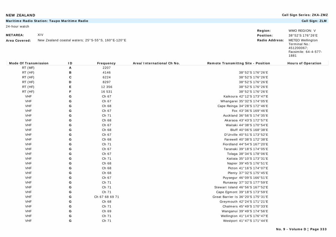
NEW ZEALAND Call Sign Series: ZKA-ZMZ
METAREA: XIV
Area Covered: New Zealand coastal waters; 25°S-55°S, 160°E-120°E
Region: WMO REGION: VPosition: 38°52'S 176°26'ERadio Address: METEO Wellington
Terminal No.: 451200067; Facsimile: 64-4-577-1881
Maritime Radio Station: Taupo Maritime Radio Call Sign: ZLM
24-hour watch
Mode Of Transmission ID Frequency Area/International Ch No. Remote Transmittng Site - Position Hours of OperationRT (MF) A 2207RT (HF) B 4146 38°52'S 176°26'ERT (HF) C 6224 38°52'S 176°26'ERT (HF) D 8297 38°52'S 176°26'ERT (HF) E 12 356 38°52'S 176°26'ERT (HF) F 16 531 38°52'S 176°26'E
VHF G Ch 67 Kaikoura 42°12'S 173°47'EVHF G Ch 67 Whangarei 35°32'S 174°05'EVHF G Ch 68 Cape Reinga 34°28'S 172°46'EVHF G Ch 67 Fox 43°36'S 169°46'EVHF G Ch 71 Auckland 36°56'S 174°35'EVHF G Ch 68 Akaraoa 43°43'S 172°57'EVHF G Ch 67 Waitaki 44°38'S 170°54'EVHF G Ch 68 Bluff 40°06'S 168°38'EVHF G Ch 67 D'Urville 40°51'S 173°52'EVHF G Ch 68 Farewell 40°38'S 172°38'EVHF G Ch 71 Fiordland 44°54'S 167°20'EVHF G Ch 67 Taranaki 39°18'S 174°05'EVHF G Ch 67 Tolaga 38°34'S 178°06'EVHF G Ch 71 Kaitaia 35°10'S 173°31'EVHF G Ch 68 Napier 39°45'S 176°51'EVHF G Ch 68 Picton 41°16'S 174°07'EVHF G Ch 68 Plenty 37°32'S 175°45'EVHF G Ch 67 Puysegur 46°09'S 166°51'EVHF G Ch 71 Runaway 37°32'S 177°59'EVHF G Ch 71 Stewart Island 46°56'S 167°52'EVHF G Ch 71 Cape Egmont 39°18'S 173°59'EVHF G Ch 67 68 69 71 Great Barrier Is 36°20'S 175°31'EVHF G Ch 68 Greymouth 42°24'S 171°21'EVHF G Ch 71 Chalmers 45°49'S 170°33'EVHF G Ch 69 Wanganui 39°49'S 174°56'EVHF G Ch 71 Wellington 41°14'S 176°47'EVHF G Ch 71 Westport 41°47'S 171°44'E
No. 9 - Volume D ¦ Page 333
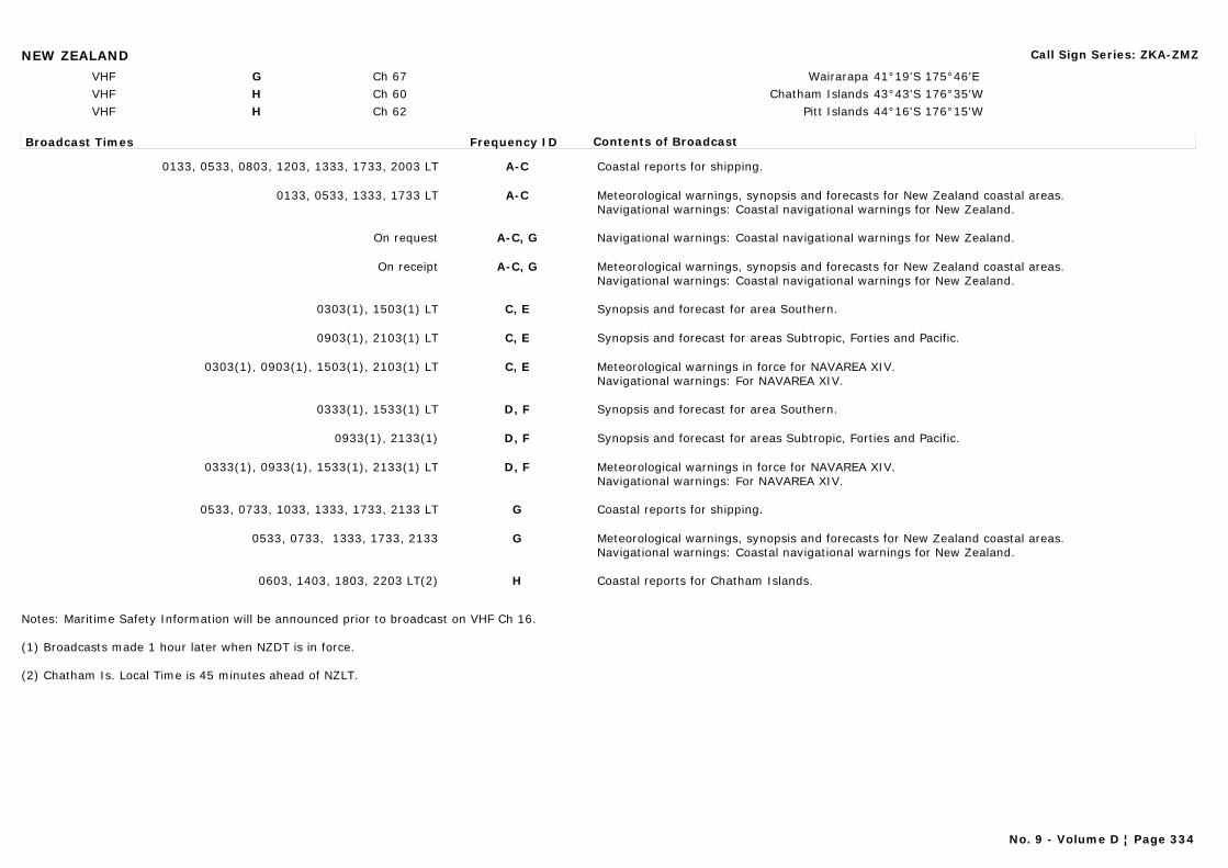
NEW ZEALAND Call Sign Series: ZKA-ZMZ
VHF G Ch 67 Wairarapa 41°19'S 175°46'EVHF H Ch 60 Chatham Islands 43°43'S 176°35'WVHF H Ch 62 Pitt Islands 44°16'S 176°15'W
Broadcast Times Frequency ID Contents of Broadcast
0133, 0533, 0803, 1203, 1333, 1733, 2003 LT A-C Coastal reports for shipping.
0133, 0533, 1333, 1733 LT A-C Meteorological warnings, synopsis and forecasts for New Zealand coastal areas.Navigational warnings: Coastal navigational warnings for New Zealand.
On request A-C, G Navigational warnings: Coastal navigational warnings for New Zealand.
On receipt A-C, G Meteorological warnings, synopsis and forecasts for New Zealand coastal areas.Navigational warnings: Coastal navigational warnings for New Zealand.
0303(1), 1503(1) LT C, E Synopsis and forecast for area Southern.
0903(1), 2103(1) LT C, E Synopsis and forecast for areas Subtropic, Forties and Pacific.
0303(1), 0903(1), 1503(1), 2103(1) LT C, E Meteorological warnings in force for NAVAREA XIV.Navigational warnings: For NAVAREA XIV.
0333(1), 1533(1) LT D, F Synopsis and forecast for area Southern.
0933(1), 2133(1) D, F Synopsis and forecast for areas Subtropic, Forties and Pacific.
0333(1), 0933(1), 1533(1), 2133(1) LT D, F Meteorological warnings in force for NAVAREA XIV.Navigational warnings: For NAVAREA XIV.
0533, 0733, 1033, 1333, 1733, 2133 LT G Coastal reports for shipping.
0533, 0733, 1333, 1733, 2133 G Meteorological warnings, synopsis and forecasts for New Zealand coastal areas.Navigational warnings: Coastal navigational warnings for New Zealand.
0603, 1403, 1803, 2203 LT(2) H Coastal reports for Chatham Islands.
Notes: Maritime Safety Information will be announced prior to broadcast on VHF Ch 16.
(1) Broadcasts made 1 hour later when NZDT is in force.
(2) Chatham Is. Local Time is 45 minutes ahead of NZLT.
No. 9 - Volume D ¦ Page 334
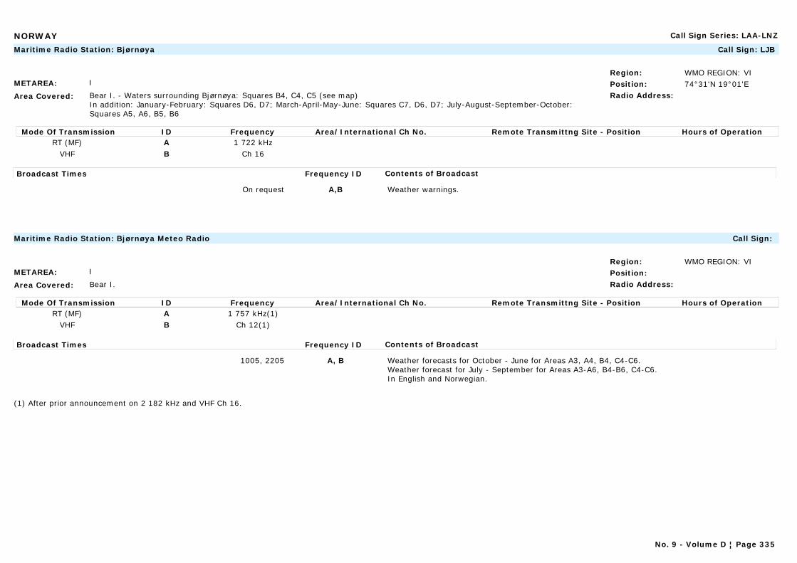
NORWAY Call Sign Series: LAA-LNZ
METAREA: I
Area Covered: Bear I. - Waters surrounding Bjørnøya: Squares B4, C4, C5 (see map)In addition: January-February: Squares D6, D7; March-April-May-June: Squares C7, D6, D7; July-August-September-October: Squares A5, A6, B5, B6
Region: WMO REGION: VIPosition: 74°31'N 19°01'ERadio Address:
Maritime Radio Station: Bjørnøya Call Sign: LJB
Mode Of Transmission ID Frequency Area/International Ch No. Remote Transmittng Site - Position Hours of OperationRT (MF) A 1 722 kHz
VHF B Ch 16
Broadcast Times Frequency ID Contents of Broadcast
On request A,B Weather warnings.
METAREA: I
Area Covered: Bear I.
Region: WMO REGION: VIPosition:Radio Address:
Maritime Radio Station: Bjørnøya Meteo Radio Call Sign:
Mode Of Transmission ID Frequency Area/International Ch No. Remote Transmittng Site - Position Hours of OperationRT (MF) A 1 757 kHz(1)
VHF B Ch 12(1)
Broadcast Times Frequency ID Contents of Broadcast
1005, 2205 A, B Weather forecasts for October - June for Areas A3, A4, B4, C4-C6.Weather forecast for July - September for Areas A3-A6, B4-B6, C4-C6.In English and Norwegian.
(1) After prior announcement on 2 182 kHz and VHF Ch 16.
No. 9 - Volume D ¦ Page 335
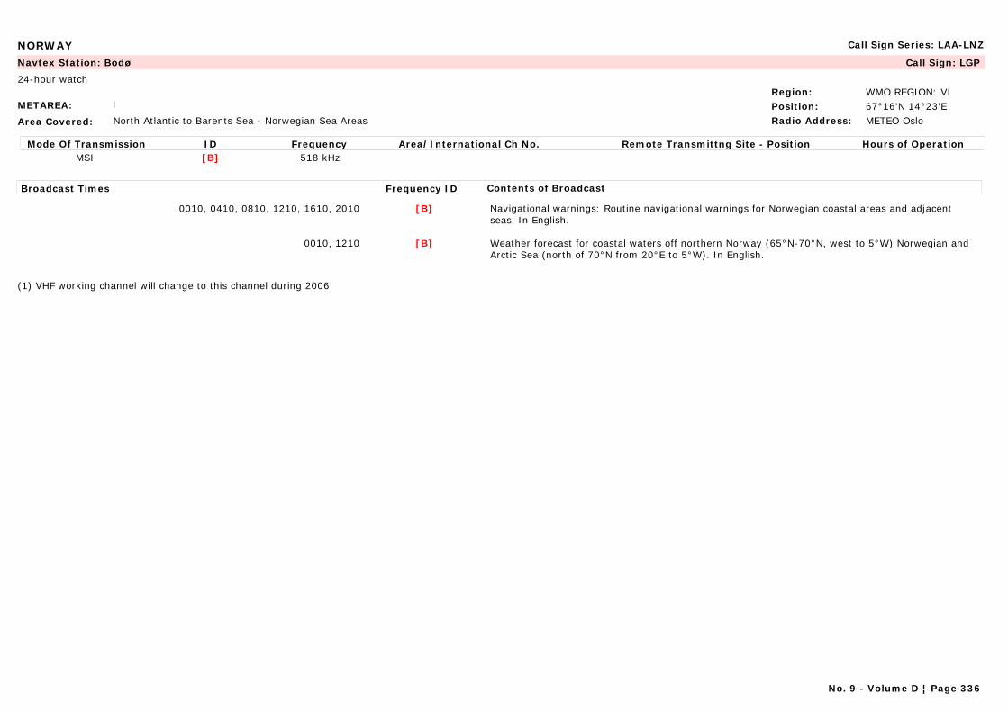
NORWAY Call Sign Series: LAA-LNZ
METAREA: I
Area Covered: North Atlantic to Barents Sea - Norwegian Sea Areas
Region: WMO REGION: VIPosition: 67°16'N 14°23'ERadio Address: METEO Oslo
Navtex Station: Bodø Call Sign: LGP
24-hour watch
Mode Of Transmission ID Frequency Area/International Ch No. Remote Transmittng Site - Position Hours of OperationMSI [B] 518 kHz
Broadcast Times Frequency ID Contents of Broadcast
0010, 0410, 0810, 1210, 1610, 2010 [B] Navigational warnings: Routine navigational warnings for Norwegian coastal areas and adjacent seas. In English.
0010, 1210 [B] Weather forecast for coastal waters off northern Norway (65°N-70°N, west to 5°W) Norwegian and Arctic Sea (north of 70°N from 20°E to 5°W). In English.
(1) VHF working channel will change to this channel during 2006
No. 9 - Volume D ¦ Page 336
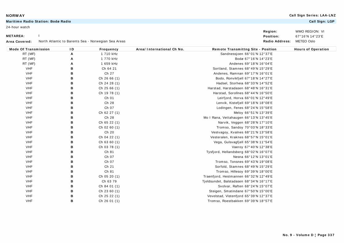
NORWAY Call Sign Series: LAA-LNZ
METAREA: I
Area Covered: North Atlantic to Barents Sea - Norwegian Sea Areas
Region: WMO REGION: VIPosition: 67°16'N 14°23'ERadio Address: METEO Oslo
Maritime Radio Station: Bodø Radio Call Sign: LGP
24-hour watch
Mode Of Transmission ID Frequency Area/International Ch No. Remote Transmittng Site - Position Hours of OperationRT (MF) A 1 710 kHz Sandnessjoen 66°01'N 12°37'ERT (MF) A 1 770 kHz Bodø 67°16'N 14°23'ERT (MF) A 1 659 kHz Andenes 69°18'N 16°04'E
VHF B Ch 64 21 Sortland, Stamnes 68°49'N 15°29'EVHF B Ch 27 Andenes, Ramnan 69°17'N 16°01'EVHF B Ch 26 66 (1) Bodo, Ronvikfjell 67°18'N 14°27'EVHF B Ch 24 28 (1) Hadsel, Storheia 68°33'N 14°52'EVHF B Ch 25 66 (1) Harstad, Harstadasen 68°48'N 16°31'EVHF B Ch 19 78 (1) Harstad, Sorollnes 68°44'N 16°50'EVHF B Ch 01 Leirfjord, Horva 66°01'N 12°49'EVHF B Ch 28 Lenvik, Kistefjell 69°18'N 18°08'EVHF B Ch 07 Lodingen, Fenes 68°24'N 15°58'EVHF B Ch 62 27 (1) Meloy 66°51'N 13°39'EVHF B Ch 28 Mo I Rana, Vettahaugen 66°13'N 13°45'EVHF B Ch 65 22 (1) Narvik, Veggen 68°28'N 17°10'EVHF B Ch 02 60 (1) Tromso, Sandoy 70°03'N 18°33'EVHF B Ch 20 Vestvagoy, Kvalnes 68°21'N 13°58'EVHF B Ch 04 22 (1) Vesteralen, Kraknes 68°57'N 15°01'EVHF B Ch 63 60 (1) Vega, Gulsvagfjell 65°38'N 11°54'EVHF B Ch 03 78 (1) Vaeroy 67°40'N 12°38'EVHF B Ch 81 Tysfjord, Hellandsberg 68°02'N 16°07'EVHF B Ch 07 Nesna 66°12'N 13°01'EVHF B Ch 07 Tromso, Tonsnes 69°43'N 19°08'EVHF B Ch 21 Sorfold, Stamnes 68°49'N 15°29'EVHF B Ch 81 Tromso, Hillesoy 69°39'N 18°00'EVHF B Ch 05 20 (1) Traenfjord, Hestmannen 66°32'N 12°49'EVHF B Ch 63 79 Tjeldsundet, Balstadasen 68°34'N 16°17'EVHF B Ch 84 01 (1) Svolvar, Raften 68°24'N 15°07'EVHF B Ch 23 60 (1) Steigen, Smatindane 67°50'N 15°00'EVHF B Ch 25 22 (1) Vevelstad, Vistenfjord 65°39'N 12°37'EVHF B Ch 26 01 (1) Tromso, Roestbakken 69°39'N 18°57'E
No. 9 - Volume D ¦ Page 337
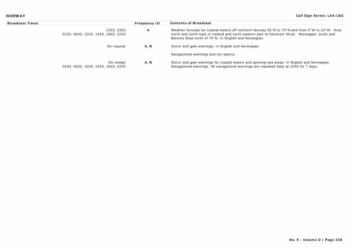
NORWAY Call Sign Series: LAA-LNZ
Broadcast Times Frequency ID Contents of Broadcast
1203, 23030233, 0633, 1033, 1433, 1833, 2233
A Weather forecast for coastal waters off northern Norway 65°N to 70°N and from 0°W to 10°W. Area north and north-east of Iceland and north-eastern part of Denmark Strait. Norwegian, arctic and Barents Seas north of 70°N. In English and Norwegian.
On request A, B Storm and gale warnings. In English and Norwegian.
Navigational warnings and ice reports.
On receipt0233, 0633, 1033, 1433, 1833, 2233
A, B Storm and gale warnings for coastal waters and ajoining sea areas. In English and Norwegian.Navigational warnings: All navigational warnings are repeated daily at 1033 for 7 days.
No. 9 - Volume D ¦ Page 338
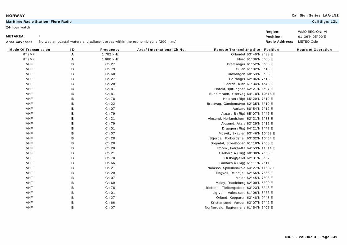
NORWAY Call Sign Series: LAA-LNZ
METAREA: I
Area Covered: Norwegian coastal waters and adjacent areas within the economic zone (200 n.m.)
Region: WMO REGION: VIPosition: 61°36'N 05°00'ERadio Address: METEO Oslo
Maritime Radio Station: Florø Radio Call Sign: LGL
24-hour watch
Mode Of Transmission ID Frequency Area/International Ch No. Remote Transmittng Site - Position Hours of OperationRT (MF) A 1 782 kHz Orlandet 63°40'N 9°33'ERT (MF) A 1 680 kHz Floro 61°36'N 5°00'E
VHF B Ch 27 Bremanger 61°52'N 5°00'EVHF B Ch 79 Gulen 61°02'N 5°10'EVHF B Ch 60 Gudvangen 60°53'N 6°55'EVHF B Ch 27 Geiranger 62°06'N 7°13'EVHF B Ch 20 Foerde, Kinn 61°34'N 4°46'EVHF B Ch 81 Hareid,Hjorungnes 62°21'N 6°07'EVHF B Ch 81 Buholmraen, Yttervag 64°18'N 10°18'EVHF B Ch 78 Heidrun (Rig) 65°20'N 7°19'EVHF B Ch 22 Brattvag, Gamlemstvet 62°35'N 6°19'EVHF B Ch 07 Aurland 60°54'N 7°12'EVHF B Ch 79 Asgard B (Rig) 65°07'N 6°47'EVHF B Ch 21 Alesund, Nerlandshorn 62°21'N 5°33'EVHF B Ch 79 Alesund, Aksla 62°29'N 6°12'EVHF B Ch 01 Draugen (Rig) 64°21'N 7°47'EVHF B Ch 07 Mosvik, Skavlen 63°46'N 10°58'EVHF B Ch 28 Stjordal, Forbordsfjell 63°32'N 10°54'EVHF B Ch 28 Sogndal, Storehogen 61°10'N 7°08'EVHF B Ch 20 Rorvik, Falkhetta 64°53'N 11°14'EVHF B Ch 21 Oseberg A (Rig) 60°30'N 2°50'EVHF B Ch 78 Orskogfjellet 62°31'N 6°52'EVHF B Ch 66 Gullfaks A (Rig) 61°11'N 2°11'EVHF B Ch 21 Namsos, Spillumsaksla 64°27'N 11°32'EVHF B Ch 20 Tingvoll, Reinsfjell 62°56'N 7°56'EVHF B Ch 07 Molde 62°45'N 7°08'EVHF B Ch 60 Maloy, Raudeberg 62°00'N 5°09'EVHF B Ch 78 Litlefonni, Tjelbergodden 63°23'N 8°43'EVHF B Ch 01 Ligtvor - Valestrand 61°06'N 6°33'EVHF B Ch 27 Orland, Kopparen 63°48'N 9°45'EVHF B Ch 66 Kristiansund, Varden 63°07'N 7°42'EVHF B Ch 07 Norfjordeid, Sagtennene 61°54'N 6°07'E
No. 9 - Volume D ¦ Page 339
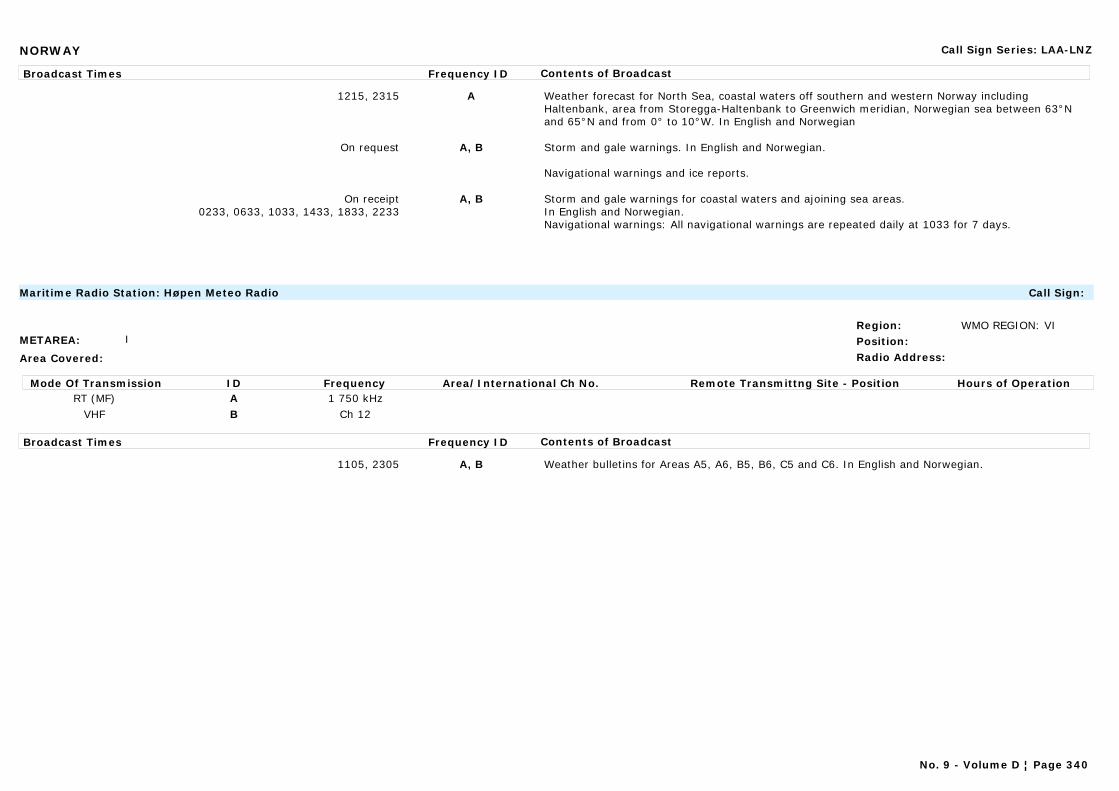
NORWAY Call Sign Series: LAA-LNZ
Broadcast Times Frequency ID Contents of Broadcast
1215, 2315 A Weather forecast for North Sea, coastal waters off southern and western Norway including Haltenbank, area from Storegga-Haltenbank to Greenwich meridian, Norwegian sea between 63°N and 65°N and from 0° to 10°W. In English and Norwegian
On request A, B Storm and gale warnings. In English and Norwegian.
Navigational warnings and ice reports.
On receipt0233, 0633, 1033, 1433, 1833, 2233
A, B Storm and gale warnings for coastal waters and ajoining sea areas.In English and Norwegian.Navigational warnings: All navigational warnings are repeated daily at 1033 for 7 days.
METAREA: I
Area Covered:
Region: WMO REGION: VIPosition:Radio Address:
Maritime Radio Station: Høpen Meteo Radio Call Sign:
Mode Of Transmission ID Frequency Area/International Ch No. Remote Transmittng Site - Position Hours of OperationRT (MF) A 1 750 kHz
VHF B Ch 12
Broadcast Times Frequency ID Contents of Broadcast
1105, 2305 A, B Weather bulletins for Areas A5, A6, B5, B6, C5 and C6. In English and Norwegian.
No. 9 - Volume D ¦ Page 340
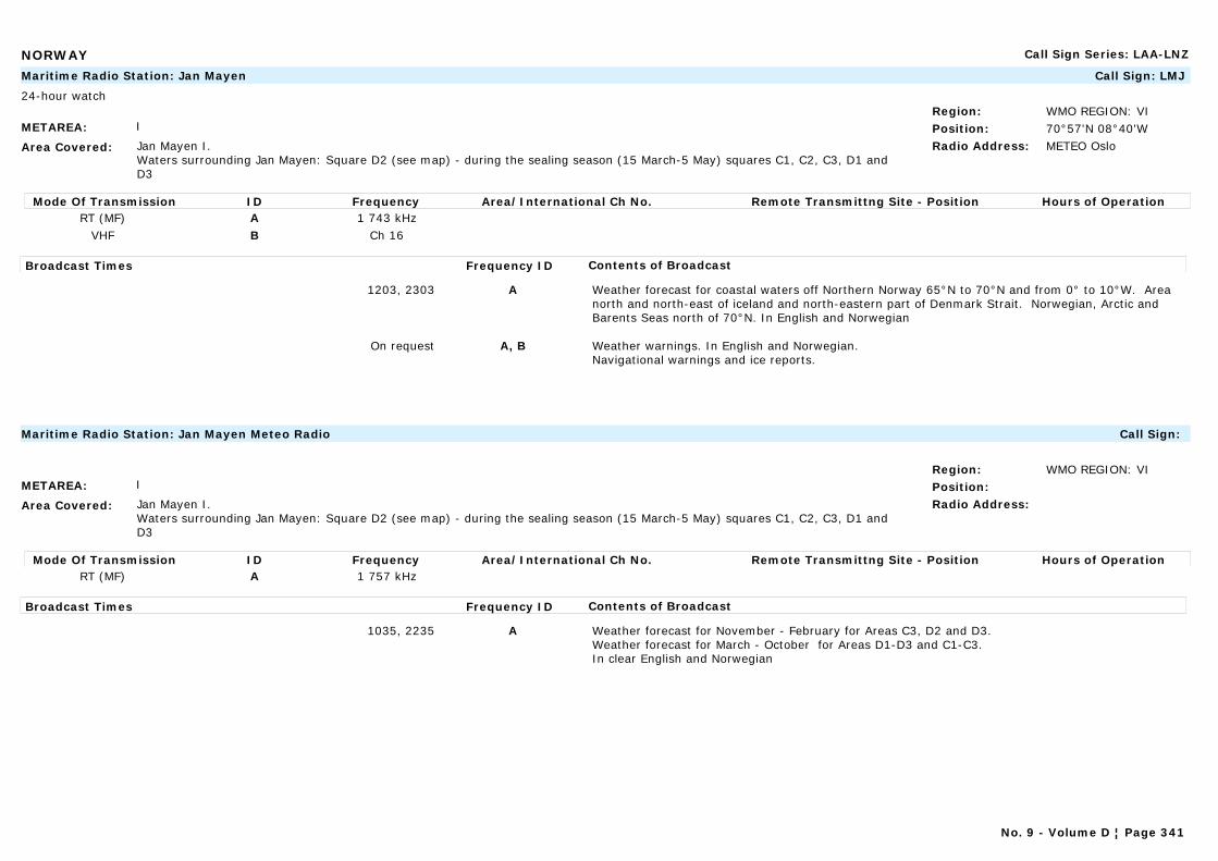
NORWAY Call Sign Series: LAA-LNZ
METAREA: I
Area Covered: Jan Mayen I.Waters surrounding Jan Mayen: Square D2 (see map) - during the sealing season (15 March-5 May) squares C1, C2, C3, D1 and D3
Region: WMO REGION: VIPosition: 70°57'N 08°40'WRadio Address: METEO Oslo
Maritime Radio Station: Jan Mayen Call Sign: LMJ
24-hour watch
Mode Of Transmission ID Frequency Area/International Ch No. Remote Transmittng Site - Position Hours of OperationRT (MF) A 1 743 kHz
VHF B Ch 16
Broadcast Times Frequency ID Contents of Broadcast
1203, 2303 A Weather forecast for coastal waters off Northern Norway 65°N to 70°N and from 0° to 10°W. Area north and north-east of iceland and north-eastern part of Denmark Strait. Norwegian, Arctic and Barents Seas north of 70°N. In English and Norwegian
On request A, B Weather warnings. In English and Norwegian.Navigational warnings and ice reports.
METAREA: I
Area Covered: Jan Mayen I.Waters surrounding Jan Mayen: Square D2 (see map) - during the sealing season (15 March-5 May) squares C1, C2, C3, D1 and D3
Region: WMO REGION: VIPosition:Radio Address:
Maritime Radio Station: Jan Mayen Meteo Radio Call Sign:
Mode Of Transmission ID Frequency Area/International Ch No. Remote Transmittng Site - Position Hours of OperationRT (MF) A 1 757 kHz
Broadcast Times Frequency ID Contents of Broadcast
1035, 2235 A Weather forecast for November - February for Areas C3, D2 and D3.Weather forecast for March - October for Areas D1-D3 and C1-C3.In clear English and Norwegian
No. 9 - Volume D ¦ Page 341
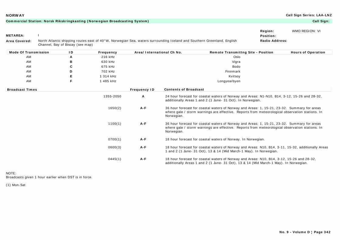
NORWAY Call Sign Series: LAA-LNZ
METAREA: I
Area Covered: North Atlantic shipping routes east of 40°W, Norwegian Sea, waters surrounding Iceland and Southern Greenland, English Channel, Bay of Biscay (see map)
Region: WMO REGION: VIPosition:Radio Address:
Commercial Station: Norsk Rikskringkasting (Norwegian Broadcasting System) Call Sign:
Mode Of Transmission ID Frequency Area/International Ch No. Remote Transmittng Site - Position Hours of OperationAM A 216 kHz OsloAM B 630 kHz VigraAM C 675 kHz BodoAM D 702 kHz FinnmarkAM E 1 314 kHz KvitsoyAM F 1 485 kHz Longyearbyen
Broadcast Times Frequency ID Contents of Broadcast
1355-2050 A 24 hour forecast for coastal waters of Norway and Areas: N1-N10, B14, 3-12, 15-26 and 28-32, additionally Areas 1 and 2 (1 June- 31 Oct). In Norwegian.
1650(2) A-F 36 hour forecast for coastal waters of Norway and Areas: 1, 15-21, 23-32. Summary for areas where gale / storm warnings are effective. Reports from meteorological observation stations. In Norwegian.
1100(1) A-F 36 hour forecast for coastal waters of Norway and Areas: 1, 15-21, 23-32. Summary for areas where gale / storm warnings are effective. Reports from meteorological observation stations. In Norwegian.
0700(1) A-F 18 hour forecast for coastal waters of Norway. In Norwegian.
0600(3) A-F 18 hour forecast for coastal waters of Norway and Areas: N10, B14, 3-11, 15-32, additionally Areas 1 and 2 (1 June- 31 Oct), 13 & 14 (Mid March-1 May). In Norwegian.
0445(1) A-F 18 hour forecast for coastal waters of Norway and Areas: N10, B14, 3-12, 15-26 and 28-32, additionally Areas 1 and 2 (1 June- 31 Oct), 13 & 14 (Mid March-1 May). In Norwegian.
NOTE:Broadcasts given 1 hour earlier when DST is in force.
(1) Mon-Sat
No. 9 - Volume D ¦ Page 342

NORWAY Call Sign Series: LAA-LNZ
METAREA: I
Area Covered: Norwegian Sea Areas
Region: WMO REGION: VIPosition: 63°40'N 09°33'ERadio Address:
Navtex Station: Ørlandet Call Sign:
Mode Of Transmission ID Frequency Area/International Ch No. Remote Transmittng Site - Position Hours of OperationMSI [N] 518 kHz
Broadcast Times Frequency ID Contents of Broadcast
0210, 0610, 1010, 1410, 1810, 2210 [N] Navigational warnings: Routine navigational warnings for Norwegian coastal areas and adjacent seas. In English.
0210, 1410 [N] Weather forecast for coastal waters off Norway (62°N-65°N, west to 5°W). In English.
METAREA: I
Area Covered: Norwegian coastal waters and adjacent areas within the economic zone (200 n.m.) - N.Sea/Gulf of Bothania/Finland
Region: WMO REGION: VIPosition: 58°54'N 05°38'ERadio Address: METEO Oslo
Navtex Station: Rogaland Call Sign: LGQ
24-hour watch
Mode Of Transmission ID Frequency Area/International Ch No. Remote Transmittng Site - Position Hours of OperationMSI [L] 518 kHz
Broadcast Times Frequency ID Contents of Broadcast
0150, 0550, 0950, 1350, 1750, 2150 [L] Navigational warnings: Routine navigational warnings for Norwegian coastal areas and adjacent seas. In English.
0150, 1350 [L] Weather forecast for North Sea, Skagerrak and coastal waters off southern and western Norway (north to 62°N, west to 0°W). In English.
No. 9 - Volume D ¦ Page 343

NORWAY Call Sign Series: LAA-LNZ
METAREA: I
Area Covered: Norwegian coastal waters and adjacent areas within the economic zone (200 n.m.) - N.Sea/Gulf of Bothania/Finland
Region: WMO REGION: VIPosition: 58°54'N 05°38'ERadio Address: METEO Oslo
Maritime Radio Station: Rogaland Radio Call Sign: LGQ
24-hour watch
Mode Of Transmission ID Frequency Area/International Ch No. Remote Transmittng Site - Position Hours of OperationRT (MF) A 1 785 kHz Farsund 58°04'N 6°45'ERT (MF) A 1 728 kHz Bergen 60°43'N 4°53'ERT (MF) A 1 692 kHz Vigre 58°39'N 05°36'W
VHF B Ch 79 Lindesnes, Skibmannsheia 58°01'N 7°04'EVHF B Ch 22 Bergen, Lindas, Gladihaug 60°35'N 5°20'EVHF B Ch 60 Bergen, Rundemanen 60°25'N 5°22'EVHF B Ch 78 Bjerkreim, Urdalsnipa 58°35'N 6°04'EVHF B Ch 66 Draupner (Rig) 58°11'N 2°28'EVHF B Ch 20 Ekofisk (Rig) 56°33'N 3°13'EVHF B Ch 01 Haugesund, Steinsfjeld 59°25'N 5°20'EVHF B Ch 22 Heimdal 59°34'N 2°14'EVHF B Ch 20 Lifjell, Sandnes 58°55'N 5°47'EVHF B Ch 07 Lista, Storefjell 58°09'N 6°43'EVHF B Ch 60 Mandal, Husheia 58°01'N 7°55'EVHF B Ch 79 Sand, Pestasen 59°29'N 6°15'EVHF B Ch 79 Sleipner A (Rig) 58°22'N 1°54'EVHF B Ch 81 Sotra, Pyttane 60°19'N 5°07'EVHF B Ch 28 Stavanger, Bokn 59°13'N 5°26'EVHF B Ch 07 Stord, Kattnakken 59°52'N 5°30'EVHF B Ch 81 Ula (Rig) 57°07'N 2°51'EVHF B Ch 22 Valhall (Rig) 56°17'N 3°24'EVHF B Ch 20 I. Hardanger, Grimo 60°24'N 6°39'E
Broadcast Times Frequency ID Contents of Broadcast
1215, 2315 A Weather forecast for North Sea, coastal waters off southern and western Norway including Haltenbank, area from Storegga-Haltenbank to Greenwich meridian, Norwegian sea between 63°N and 65°N and from 0° to 10°W. IN English and Norwegian.
On request A, B Storm and gale warnings.Navigational warnings: Ice reports.
On receipt 0233, 0633, 1033, 1433, 1833, 2233
A, B Storm and gale warnings for coastal waters and ajoining sea areas. In English and Norwegian.Navigational warnings: All navigational warnings repeated daily at 1033 for 7 days.
No. 9 - Volume D ¦ Page 344
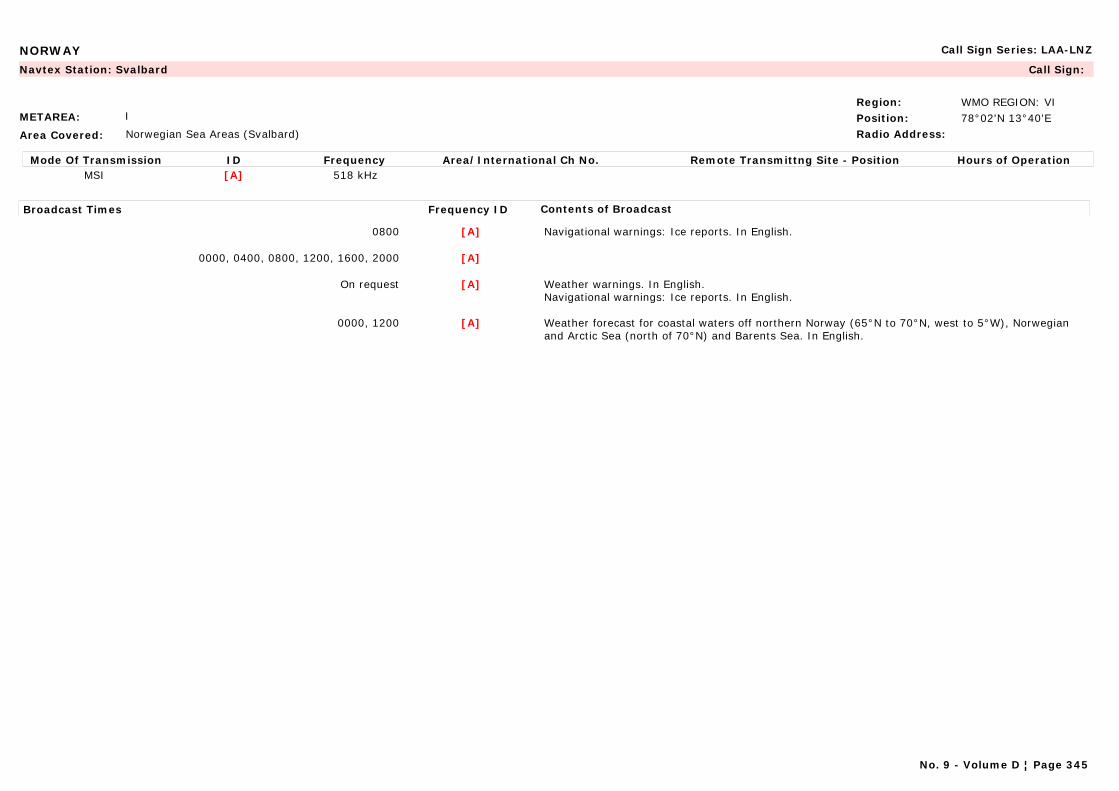
NORWAY Call Sign Series: LAA-LNZ
METAREA: I
Area Covered: Norwegian Sea Areas (Svalbard)
Region: WMO REGION: VIPosition: 78°02'N 13°40'ERadio Address:
Navtex Station: Svalbard Call Sign:
Mode Of Transmission ID Frequency Area/International Ch No. Remote Transmittng Site - Position Hours of OperationMSI [A] 518 kHz
Broadcast Times Frequency ID Contents of Broadcast
0800 [A] Navigational warnings: Ice reports. In English.
0000, 0400, 0800, 1200, 1600, 2000 [A]
On request [A] Weather warnings. In English.Navigational warnings: Ice reports. In English.
0000, 1200 [A] Weather forecast for coastal waters off northern Norway (65°N to 70°N, west to 5°W), Norwegian and Arctic Sea (north of 70°N) and Barents Sea. In English.
No. 9 - Volume D ¦ Page 345
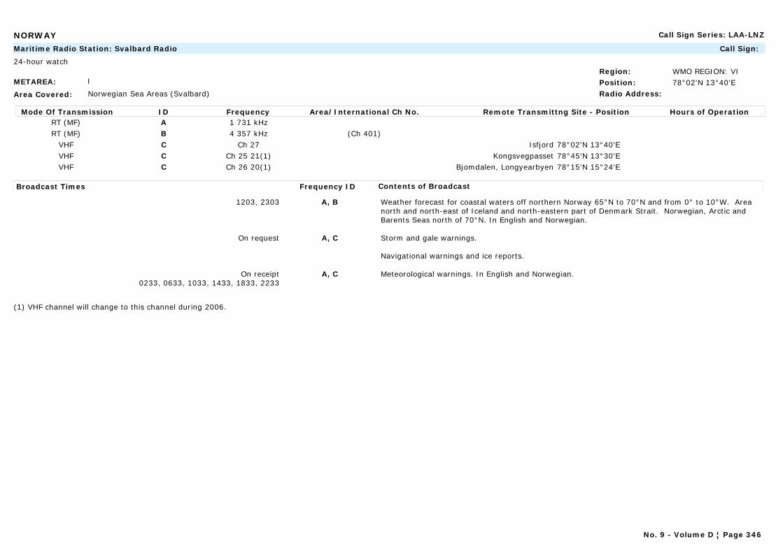
NORWAY Call Sign Series: LAA-LNZ
METAREA: I
Area Covered: Norwegian Sea Areas (Svalbard)
Region: WMO REGION: VIPosition: 78°02'N 13°40'ERadio Address:
Maritime Radio Station: Svalbard Radio Call Sign:
24-hour watch
Mode Of Transmission ID Frequency Area/International Ch No. Remote Transmittng Site - Position Hours of OperationRT (MF) A 1 731 kHzRT (MF) B 4 357 kHz (Ch 401)
VHF C Ch 27 Isfjord 78°02'N 13°40'EVHF C Ch 25 21(1) Kongsvegpasset 78°45'N 13°30'EVHF C Ch 26 20(1) Bjomdalen, Longyearbyen 78°15'N 15°24'E
Broadcast Times Frequency ID Contents of Broadcast
1203, 2303 A, B Weather forecast for coastal waters off northern Norway 65°N to 70°N and from 0° to 10°W. Area north and north-east of Iceland and north-eastern part of Denmark Strait. Norwegian, Arctic and Barents Seas north of 70°N. In English and Norwegian.
On request A, C Storm and gale warnings.
Navigational warnings and ice reports.
On receipt0233, 0633, 1033, 1433, 1833, 2233
A, C Meteorological warnings. In English and Norwegian.
(1) VHF channel will change to this channel during 2006.
No. 9 - Volume D ¦ Page 346
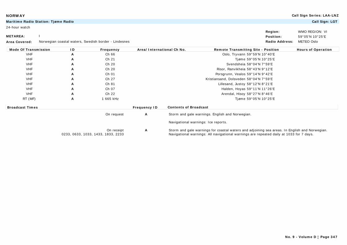
NORWAY Call Sign Series: LAA-LNZ
METAREA: I
Area Covered: Norwegian coastal waters, Swedish border - Lindesnes
Region: WMO REGION: VIPosition: 59°05'N 10°25'ERadio Address: METEO Oslo
Maritime Radio Station: Tjøme Radio Call Sign: LGT
24-hour watch
Mode Of Transmission ID Frequency Area/International Ch No. Remote Transmittng Site - Position Hours of OperationVHF A Ch 66 Oslo, Tryvann 59°59'N 10°40'EVHF A Ch 21 Tjøme 59°05'N 10°25'EVHF A Ch 20 Svendsheia 58°04'N 7°59'EVHF A Ch 20 Risor, Ranvikheia 58°43'N 9°12'EVHF A Ch 01 Porsgrunn, Vealos 59°14'N 9°42'EVHF A Ch 27 Kristiansand, Dolsveden 58°04'N 7°59'EVHF A Ch 81 Lillesand, Justoy 58°12'N 8°21'EVHF A Ch 07 Halden, Hoyas 59°11'N 11°26'EVHF A Ch 22 Arendal, Hisoy 58°27'N 8°46'E
RT (MF) A 1 665 kHz Tjøme 59°05'N 10°25'E
Broadcast Times Frequency ID Contents of Broadcast
On request A Storm and gale warnings. English and Norwegian.
Navigational warnings: Ice reports.
On receipt0233, 0633, 1033, 1433, 1833, 2233
A Storm and gale warnings for coastal waters and adjoining sea areas. In English and Norwegian.Navigational warnings: All navigational warnings are repeated daily at 1033 for 7 days.
No. 9 - Volume D ¦ Page 347
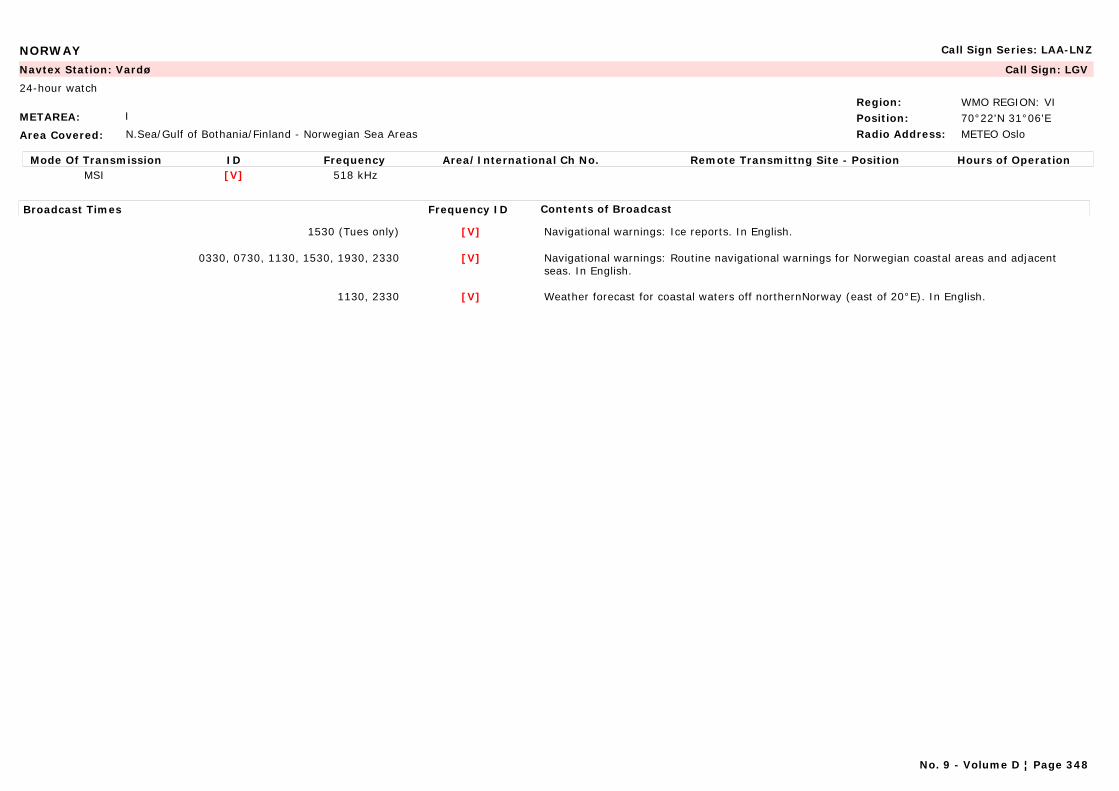
NORWAY Call Sign Series: LAA-LNZ
METAREA: I
Area Covered: N.Sea/Gulf of Bothania/Finland - Norwegian Sea Areas
Region: WMO REGION: VIPosition: 70°22'N 31°06'ERadio Address: METEO Oslo
Navtex Station: Vardø Call Sign: LGV
24-hour watch
Mode Of Transmission ID Frequency Area/International Ch No. Remote Transmittng Site - Position Hours of OperationMSI [V] 518 kHz
Broadcast Times Frequency ID Contents of Broadcast
1530 (Tues only) [V] Navigational warnings: Ice reports. In English.
0330, 0730, 1130, 1530, 1930, 2330 [V] Navigational warnings: Routine navigational warnings for Norwegian coastal areas and adjacent seas. In English.
1130, 2330 [V] Weather forecast for coastal waters off northernNorway (east of 20°E). In English.
No. 9 - Volume D ¦ Page 348

NORWAY Call Sign Series: LAA-LNZ
METAREA: I
Area Covered: N.Sea/Gulf of Bothania/Finland - Norwegian Sea Areas
Region: WMO REGION: VIPosition: 70°22'N 31°06'ERadio Address: METEO Oslo
Maritime Radio Station: Vardø Radio Call Sign: LGV
24-hour watch
Mode Of Transmission ID Frequency Area/International Ch No. Remote Transmittng Site - Position Hours of OperationRT (MF) A 1 695 kHz Berlevag 70°52'N 29°04'ERT (MF) A 1 713 kHz Vardø 70°22'N 31°06'ERT (MF) A 1 635 kHz Hammerfest 70°40'N 23°40'E
VHF B Ch 84 20(1) Karlsoy, Torsvag 70°14'N 19°30'EVHF B Ch 28 Alta, Helligfjell 70°07'N 22°56'EVHF B Ch 27 Batsfjord, Hamnefjell 70°40'N 23°40'EVHF B Ch 23 07(1) Berlevag, Berlevagfjell 70°52'N 29°05'EVHF B Ch 27 Hammerfest, Hammerfjell 70°41'N 23°40'EVHF B Ch 03 22(1) Hammerfest, Tyven 70°38'N 23°42'EVHF B Ch 24 21(1) Havoysund, Havoygavlen 71°00'N 24°36'EVHF B Ch 26 01(1) Vardø, Domen 70°20'N 31°02'EVHF B Ch 28 Kirkenes 69°45'N 30°08'EVHF B Ch 02 20(1) Lebesby, Oksen 70°58'N 27°21'EVHF B Ch 25 78(1) Mehamn, Trollhetta 71°03'N 28°07'EVHF B Ch 26 79(1) Nordkapp, Honningsvag 70°59'N 25°54'EVHF B Ch 65 79(1) Slkervpy. Stissmesfkeéé 70°01'N 20°59'EVHF B Ch 23 66(1) Skjervoy, Stussnesfjell 70°01'N 20°59'EVHF B Ch 04 66(1) Tana, Algasvarre 70°28'N 28°13'EVHF B Ch 25 60(1) Varangerfjord, Torsvarde 70°06'N 29°49'EVHF B Ch 04 78(1) Hasvik, Fuglen 70°39'N 21°58'E
Broadcast Times Frequency ID Contents of Broadcast
1203, 2303 A Weather forecast for coastal waters off northern Norway 65°N to 70°N and from 0° to 10°W. Area north and north-east of iceland and north-eastern part of Denmark Strait. Norwegian, Arctic and Barents Seas north of 70°N. In English.
On request A, B Storm and gale warnings.
On receipt0233, 0633, 1033, 1433, 1833, 2233
A, B Storm and gale warnings for coastal waters and adjoining sea areas. In Norwegian and English.Navigational warnings: All navigational warnings are repeated daily at 1033 for 7 days.
(1) VHF channel will change to this channel during 2006.
No. 9 - Volume D ¦ Page 349

OMAN Call Sign Series: A4A-A4Z
METAREA: IX
Area Covered:
Region: WMO REGION: IIPosition: 23°36'N 58°30'ERadio Address:
Navtex Station: Masqat (Muscat) (Wattayah Radio Station) Call Sign:
Mode Of Transmission ID Frequency Area/International Ch No. Remote Transmittng Site - Position Hours of OperationMSI [M] 518 kHz
Broadcast Times Frequency ID Contents of Broadcast
0200, 0600, 1000, 1400, 1800, 2200 [M] Forecast, synopsis, wind and sea condition for all areas. In English.Navigational warnings: For Persian Gulf and Gulf of Oman. In English.
No. 9 - Volume D ¦ Page 350
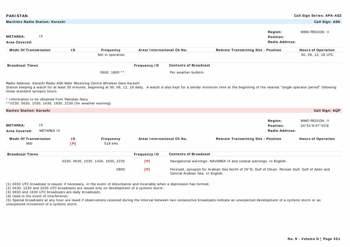
PAKISTAN Call Sign Series: APA-ASZ
METAREA: IX
Area Covered:
Region: WMO REGION: IIPosition:Radio Address:
Maritime Radio Station: Karachi Call Sign: ASK
Mode Of Transmission ID Frequency Area/International Ch No. Remote Transmittng Site - Position Hours of OperationNot in operation 00, 06, 12, 18 UTC
Broadcast Times Frequency ID Contents of Broadcast
0600, 1800 ** For weather bulletin.
Radio Address: Karachi Radio ASK Malir Receiving Centre Wireless Gate KarachiStation keeping a watch for at least 30 minutes, beginning at 00, 06, 12, 18 daily. A watch is also kept for a similar minimum time at the beginning of the nearest "single operator period" following those standard synoptic hours.
* Information to be obtained from Pakistan Navy**0230, 0630, 1030, 1430, 1830, 2230 (for weather warning)
METAREA: IX
Area Covered: METAREA IX
Region: WMO REGION: IIPosition: 24°51'N 67°03'ERadio Address:
Navtex Station: Karachi Call Sign: AQP
Mode Of Transmission ID Frequency Area/International Ch No. Remote Transmittng Site - Position Hours of OperationMSI [P] 518 kHz
Broadcast Times Frequency ID Contents of Broadcast
0230, 0630, 1030, 1430, 1830, 2230 [P] Navigational warnings: NAVAREA IX and coastal warnings. In English.
0800 [P] Forecast, synopsis for Arabian Sea North of 20°N, Gulf of Oman, Persian Gulf, Gulf of Aden and Central Arabian Sea. In English.
(1) 0030 UTC broadcast is issued, if necessary, in the event of disturbance and invariably when a depression has formed. (2) 0430, 1230 and 2030 UTC broadcasts are issued only on development of a cyclonic storm. (3) 0830 and 1630 UTC broadcasts are daily broadcasts. (4) Used in the event of interference.(5) Special broadcasts at any hour are isued if observations received during the interval between two consecutive broadcasts indicate an unexpected development of a cyclonic storm or an unexpected movement of a cyclonic storm.
No. 9 - Volume D ¦ Page 351
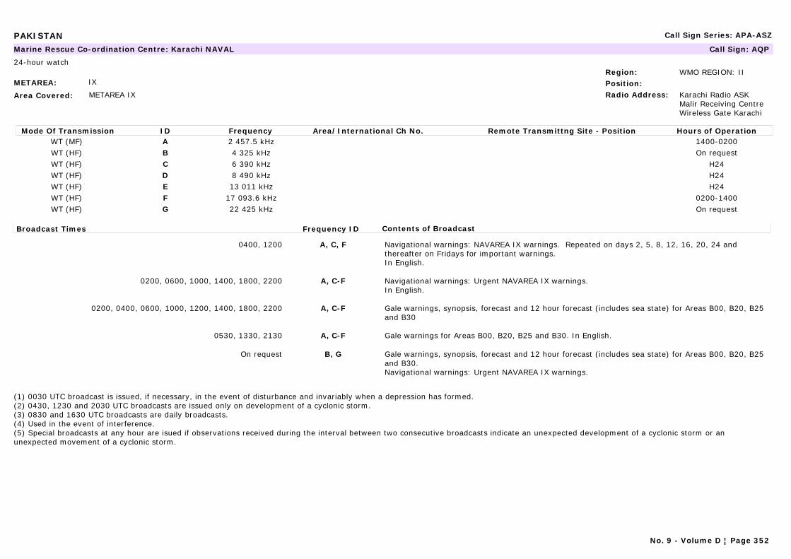
PAKISTAN Call Sign Series: APA-ASZ
METAREA: IX
Area Covered: METAREA IX
Region: WMO REGION: IIPosition:Radio Address: Karachi Radio ASK
Malir Receiving Centre Wireless Gate Karachi
Marine Rescue Co-ordination Centre: Karachi NAVAL Call Sign: AQP
24-hour watch
Mode Of Transmission ID Frequency Area/International Ch No. Remote Transmittng Site - Position Hours of OperationWT (MF) A 2 457.5 kHz 1400-0200WT (HF) B 4 325 kHz On requestWT (HF) C 6 390 kHz H24WT (HF) D 8 490 kHz H24WT (HF) E 13 011 kHz H24WT (HF) F 17 093.6 kHz 0200-1400WT (HF) G 22 425 kHz On request
Broadcast Times Frequency ID Contents of Broadcast
0400, 1200 A, C, F Navigational warnings: NAVAREA IX warnings. Repeated on days 2, 5, 8, 12, 16, 20, 24 and thereafter on Fridays for important warnings.In English.
0200, 0600, 1000, 1400, 1800, 2200 A, C-F Navigational warnings: Urgent NAVAREA IX warnings.In English.
0200, 0400, 0600, 1000, 1200, 1400, 1800, 2200 A, C-F Gale warnings, synopsis, forecast and 12 hour forecast (includes sea state) for Areas B00, B20, B25 and B30
0530, 1330, 2130 A, C-F Gale warnings for Areas B00, B20, B25 and B30. In English.
On request B, G Gale warnings, synopsis, forecast and 12 hour forecast (includes sea state) for Areas B00, B20, B25 and B30.Navigational warnings: Urgent NAVAREA IX warnings.
(1) 0030 UTC broadcast is issued, if necessary, in the event of disturbance and invariably when a depression has formed. (2) 0430, 1230 and 2030 UTC broadcasts are issued only on development of a cyclonic storm. (3) 0830 and 1630 UTC broadcasts are daily broadcasts. (4) Used in the event of interference.(5) Special broadcasts at any hour are isued if observations received during the interval between two consecutive broadcasts indicate an unexpected development of a cyclonic storm or an unexpected movement of a cyclonic storm.
No. 9 - Volume D ¦ Page 352
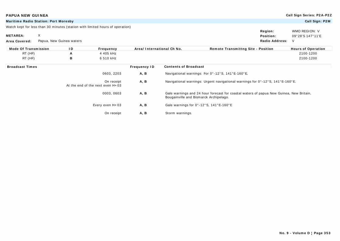
PAPUA NEW GUINEA Call Sign Series: P2A-P2Z
METAREA: X
Area Covered: Papua, New Guinea waters
Region: WMO REGION: VPosition: 09°28'S 147°11'ERadio Address: V
Maritime Radio Station: Port Moresby Call Sign: P2M
Watch kept for less than 30 minutes (station with limited hours of operation)
Mode Of Transmission ID Frequency Area/International Ch No. Remote Transmittng Site - Position Hours of OperationRT (HF) A 4 405 kHz 2100-1200RT (HF) B 6 510 kHz 2100-1200
Broadcast Times Frequency ID Contents of Broadcast
0603, 2203 A, B Navigational warnings: For 0°-12°S, 141°E-160°E.
On receiptAt the end of the next even H+03
A, B Navigational warnings: Urgent navigational warnings for 0°-12°S, 141°E-160°E.
0003, 0603 A, B Gale warnings and 24 hour forecast for coastal waters of papua New Guinea, New Britain, Bougainville and Bismarck Archipelago.
Every even H+03 A, B Gale warnings for 0°-12°S, 141°E-160°E
On receipt A, B Storm warnings.
No. 9 - Volume D ¦ Page 353

PERU Call Sign Series: OAA-OCZ
METAREA: XVI
Area Covered: South East Pacific - Pacific ocean east of 120°W from the Equator to 17°S.
Region: WMO REGION: IIIPosition: 12°03'S 77°09'WRadio Address: Direccion de
Hidrografia y Navegacion, Chucuito, CALLAO
Navtex Station: Callao Call Sign: OBC
24-hour watch
Mode Of Transmission ID Frequency Area/International Ch No. Remote Transmittng Site - Position Hours of OperationMSI [U] 518 kHz
Broadcast Times Frequency ID Contents of Broadcast
0720, 1920 [U] Forecast and sea state for Areas I-IV. In English and Spanish.
0320, 1120, 1520, 2320 [U] In English and Spanish.
METAREA: XVI
Area Covered: South East Pacific - Pacific ocean east of 120°W from the Equator to 17°S.
Region: WMO REGION: IIIPosition: 17°01'S 72°01'WRadio Address:
Navtex Station: Mollendo (Matarani) Call Sign:
Mode Of Transmission ID Frequency Area/International Ch No. Remote Transmittng Site - Position Hours of OperationMSI [W] 518 kHz
Broadcast Times Frequency ID Contents of Broadcast
0340, 0740, 1540, 1940 [W] In English and Spanish.
1140, 2340 [W] Forecast and sea state for Areas III. In English and Spanish.
No. 9 - Volume D ¦ Page 354

PERU Call Sign Series: OAA-OCZ
METAREA: XVI
Area Covered: South East Pacific - Pacific ocean east of 120°W from the Equator to 17°S.
Region: WMO REGION: IIIPosition: 5°05'S 81°07'WRadio Address:
Navtex Station: Paita Call Sign:
Mode Of Transmission ID Frequency Area/International Ch No. Remote Transmittng Site - Position Hours of OperationMSI [S] 518 kHz
Broadcast Times Frequency ID Contents of Broadcast
0700, 1100, 1900, 2300 [S] Forecast and sea state for Areas I. In English and Spanish.
0300, 1500 [S] Forecast and sea state for Areas I. In English and Spanish.
No. 9 - Volume D ¦ Page 355
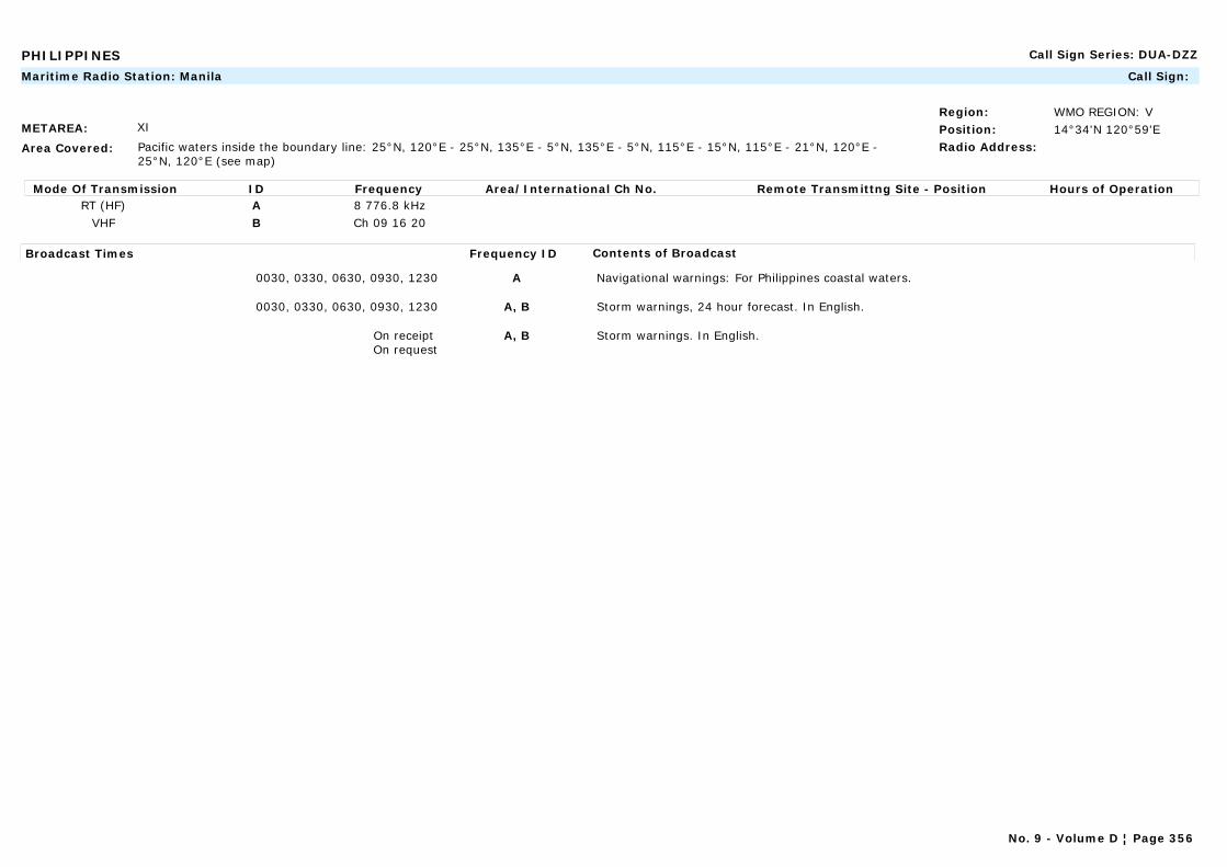
PHILIPPINES Call Sign Series: DUA-DZZ
METAREA: XI
Area Covered: Pacific waters inside the boundary line: 25°N, 120°E - 25°N, 135°E - 5°N, 135°E - 5°N, 115°E - 15°N, 115°E - 21°N, 120°E -25°N, 120°E (see map)
Region: WMO REGION: VPosition: 14°34'N 120°59'ERadio Address:
Maritime Radio Station: Manila Call Sign:
Mode Of Transmission ID Frequency Area/International Ch No. Remote Transmittng Site - Position Hours of OperationRT (HF) A 8 776.8 kHz
VHF B Ch 09 16 20
Broadcast Times Frequency ID Contents of Broadcast
0030, 0330, 0630, 0930, 1230 A Navigational warnings: For Philippines coastal waters.
0030, 0330, 0630, 0930, 1230 A, B Storm warnings, 24 hour forecast. In English.
On receipt On request
A, B Storm warnings. In English.
No. 9 - Volume D ¦ Page 356
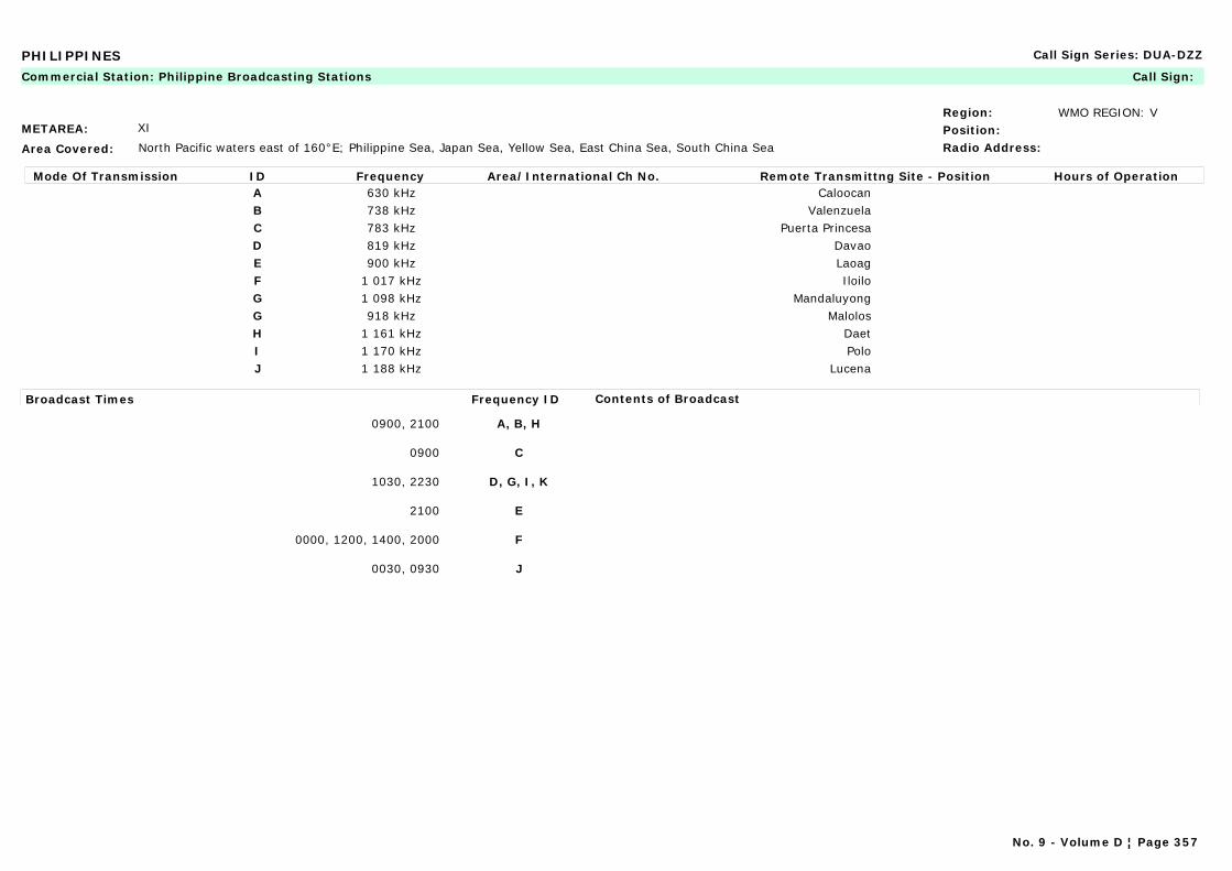
PHILIPPINES Call Sign Series: DUA-DZZ
METAREA: XI
Area Covered: North Pacific waters east of 160°E; Philippine Sea, Japan Sea, Yellow Sea, East China Sea, South China Sea
Region: WMO REGION: VPosition:Radio Address:
Commercial Station: Philippine Broadcasting Stations Call Sign:
Mode Of Transmission ID Frequency Area/International Ch No. Remote Transmittng Site - Position Hours of OperationA 630 kHz CaloocanB 738 kHz ValenzuelaC 783 kHz Puerta PrincesaD 819 kHz DavaoE 900 kHz LaoagF 1 017 kHz IloiloG 1 098 kHz MandaluyongG 918 kHz MalolosH 1 161 kHz DaetI 1 170 kHz PoloJ 1 188 kHz Lucena
Broadcast Times Frequency ID Contents of Broadcast
0900, 2100 A, B, H
0900 C
1030, 2230 D, G, I, K
2100 E
0000, 1200, 1400, 2000 F
0030, 0930 J
No. 9 - Volume D ¦ Page 357

POLAND Call Sign Series: HFA-HFZ, SNA-SRZ, 3ZA-3ZZ
METAREA: I
Area Covered:
Region: WMO REGION: VIPosition:Radio Address:
Commercial Station: Polskie Radio Call Sign:
Mode Of Transmission ID Frequency Area/International Ch No. Remote Transmittng Site - Position Hours of OperationAM A 225 kHz Program 1, Warszawa
Broadcast Times Frequency ID Contents of Broadcast
Mon-Sat: 0558, 2000 LT A Weather information and conditions for inshore and offshore areas, broadcast after the news. In Polish.
Navigational warnings and information on areas that are periodically closed or dangerous for navigation and fishing.
Program 1, Warszawa
METAREA: I
Area Covered:
Region: WMO REGION: VIPosition:Radio Address:
Maritime Radio Station: Slupsk Call Sign:
Mode Of Transmission ID Frequency Area/International Ch No. Remote Transmittng Site - Position Hours of OperationVHF A Ch 12VHF B Ch 71
Broadcast Times Frequency ID Contents of Broadcast
On request A Navigational warnings: Ice reports.
0705, 1235, 1835, 2335 LT A Forecast for fishermen and three day wind forecast for Areas 9 and 10.
0715, 1245, 1845 LT B Navigational warnings: Coastal warnings. In English and Polish.
Note:Weather bulletins will be announced prior to broadcast on VHF Ch 16.Navigational warnings will be announced prior to broadcast on VHF Ch 12 and Ch 16.
No. 9 - Volume D ¦ Page 358
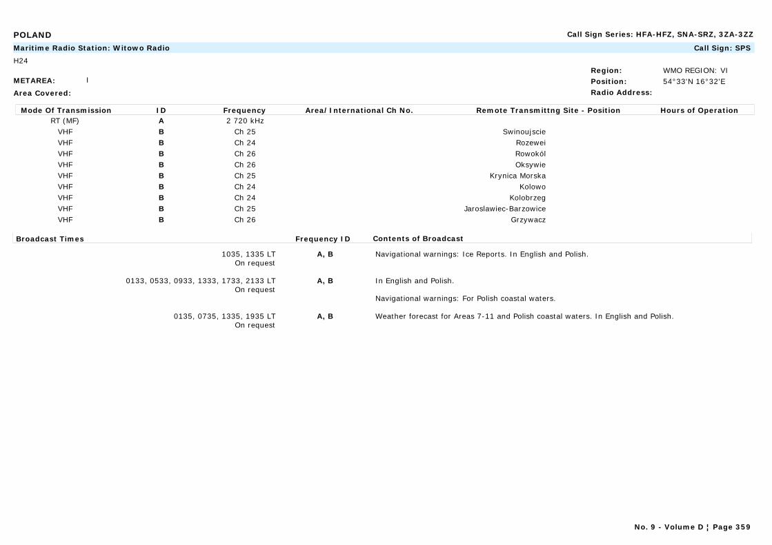
POLAND Call Sign Series: HFA-HFZ, SNA-SRZ, 3ZA-3ZZ
METAREA: I
Area Covered:
Region: WMO REGION: VIPosition: 54°33'N 16°32'ERadio Address:
Maritime Radio Station: Witowo Radio Call Sign: SPS
H24
Mode Of Transmission ID Frequency Area/International Ch No. Remote Transmittng Site - Position Hours of OperationRT (MF) A 2 720 kHz
VHF B Ch 25 SwinoujscieVHF B Ch 24 RozeweiVHF B Ch 26 RowokólVHF B Ch 26 OksywieVHF B Ch 25 Krynica MorskaVHF B Ch 24 KolowoVHF B Ch 24 KolobrzegVHF B Ch 25 Jaroslawiec-BarzowiceVHF B Ch 26 Grzywacz
Broadcast Times Frequency ID Contents of Broadcast
1035, 1335 LTOn request
A, B Navigational warnings: Ice Reports. In English and Polish.
0133, 0533, 0933, 1333, 1733, 2133 LTOn request
A, B In English and Polish.
Navigational warnings: For Polish coastal waters.
0135, 0735, 1335, 1935 LTOn request
A, B Weather forecast for Areas 7-11 and Polish coastal waters. In English and Polish.
No. 9 - Volume D ¦ Page 359
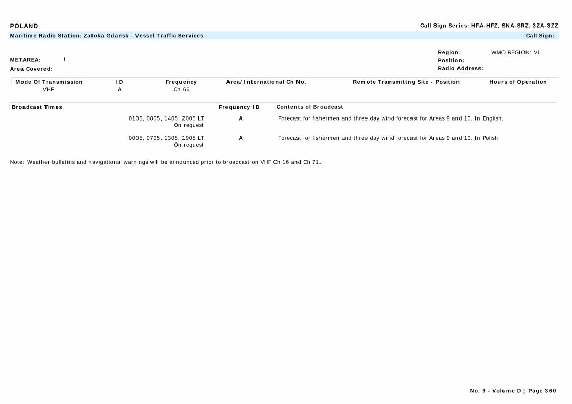
POLAND Call Sign Series: HFA-HFZ, SNA-SRZ, 3ZA-3ZZ
METAREA: I
Area Covered:
Region: WMO REGION: VIPosition:Radio Address:
Maritime Radio Station: Zatoka Gdansk - Vessel Traffic Services Call Sign:
Mode Of Transmission ID Frequency Area/International Ch No. Remote Transmittng Site - Position Hours of OperationVHF A Ch 66
Broadcast Times Frequency ID Contents of Broadcast
0105, 0805, 1405, 2005 LTOn request
A Forecast for fishermen and three day wind forecast for Areas 9 and 10. In English.
0005, 0705, 1305, 1905 LTOn request
A Forecast for fishermen and three day wind forecast for Areas 9 and 10. In Polish
Note: Weather bulletins and navigational warnings will be announced prior to broadcast on VHF Ch 16 and Ch 71.
No. 9 - Volume D ¦ Page 360
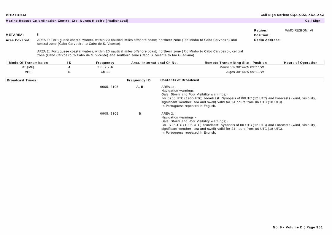
PORTUGAL Call Sign Series: CQA-CUZ, XXA-XXZ
METAREA: II
Area Covered: AREA 1: Portuguese coastal waters, within 20 nautical miles offshore coast; northern zone (Rio Minho to Cabo Carvoeiro) and central zone (Cabo Carvoeiro to Cabo de S. Vicente).
AREA 2: Portuguese coastal waters, within 20 nautical miles offshore coast; northern zone (Rio Minho to Cabo Carvoeiro), central zone (Cabo Carvoeiro to Cabo de S. Vicente) and southern zone (Cabo S. Vicente to Rio Guadiana).
Region: WMO REGION: VIPosition:Radio Address:
Marine Rescue Co-ordination Centre: Cte. Nunes Ribeiro (Radionaval) Call Sign:
Mode Of Transmission ID Frequency Area/International Ch No. Remote Transmittng Site - Position Hours of OperationRT (MF) A 2 657 kHz Monsanto 38°44'N 09°11'W
VHF B Ch 11 Alges 38°44'N 09°11'W
Broadcast Times Frequency ID Contents of Broadcast
0905, 2105 A, B AREA 1:Navigation warnings;Gale, Storm and Poor Visibility warnings;·For 0705 UTC (1905 UTC) broadcast: Synopsis of 00UTC (12 UTC) and Forecasts (wind, visibility, significant weather, sea and swell) valid for 24 hours from 06 UTC (18 UTC).In Portuguese repeated in English.
0905, 2105 B AREA 2:Navigation warnings;·Gale, Storm and Poor Visibility warnings;·For 0705UTC (1905 UTC) broadcast: Synopsis of 00 UTC (12 UTC) and Forecasts (wind, visibility, significant weather, sea and swell) valid for 24 hours from 06 UTC (18 UTC).In Portuguese repeated in English.
No. 9 - Volume D ¦ Page 361

PORTUGAL Call Sign Series: CQA-CUZ, XXA-XXZ
METAREA: II
Area Covered: Portuguese coastal waters, within 20 nautical miles off the coast; central zone (Cabo Carvoeiro to Cabo de S. Vicente) and southern zone (Cabo S. Vicente to Rio Guadiana).
Region: WMO REGION: VIPosition:Radio Address:
Marine Rescue Co-ordination Centre: Faro (Radionaval) Call Sign:
Mode Of Transmission ID Frequency Area/International Ch No. Remote Transmittng Site - Position Hours of OperationVHF A Ch 11
Broadcast Times Frequency ID Contents of Broadcast
0805, 2005 A Navigation warnings. Gale, Storm and Poor Visibility warnings.For 0805 UTC (2005 UTC) broadcast: Synopsis of 00 UTC (12 UTC) and Forecasts (wind, visibility, significant weather, sea and swell) valid for 24 hours from 06 UTC (18 UTC).In Portuguese repeated in English.
METAREA: II
Area Covered: Portuguese coastal waters, within 20 nautical miles offshore coast; northern zone (Rio Minho to Cabo Carvoeiro) and central zone (Cabo Carvoeiro to Cabo de S. Vicente).
Region: WMO REGION: VIPosition:Radio Address:
Marine Rescue Co-ordination Centre: Leixões (Radionaval) Call Sign:
Mode Of Transmission ID Frequency Area/International Ch No. Remote Transmittng Site - Position Hours of OperationVHF A Ch 11
Broadcast Times Frequency ID Contents of Broadcast
0700, 1900 A Navigation warnings;·Gale, Storm and Poor Visibility warnings;·For 0805 UTC (2005 UTC) broadcast: Synopsis of 00 UTC (12 UTC) and Forecasts (wind, visibility, significant weather, sea and swell) valid for 24 hours from 06 UTC (18 UTC).In Portuguese.
No. 9 - Volume D ¦ Page 362
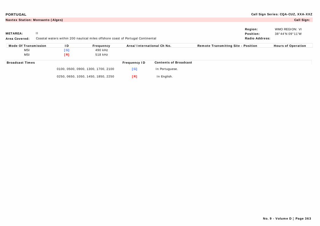
PORTUGAL Call Sign Series: CQA-CUZ, XXA-XXZ
METAREA: II
Area Covered: Coastal waters within 200 nautical miles offshore coast of Portugal Continental
Region: WMO REGION: VIPosition: 38°44'N 09°11'WRadio Address:
Navtex Station: Monsanto (Alges) Call Sign:
Mode Of Transmission ID Frequency Area/International Ch No. Remote Transmittng Site - Position Hours of OperationMSI [G] 490 kHzMSI [R] 518 kHz
Broadcast Times Frequency ID Contents of Broadcast
0100, 0500, 0900, 1300, 1700, 2100 [G] In Portuguese.
0250, 0650, 1050, 1450, 1850, 2250 [R] In English.
No. 9 - Volume D ¦ Page 363
PORTUGAL Call Sign Series: CQA-CUZ, XXA-XXZ
METAREA: II
Area Covered: North Atlantic waters from 44°N to 30°N east of 40°W.
Region: WMO REGION: VIPosition: 38°44'N 09°11'WRadio Address:
Marine Rescue Co-ordination Centre: Monsanto (Radionaval) Call Sign:
No. 9 - Volume D ¦ Page 364
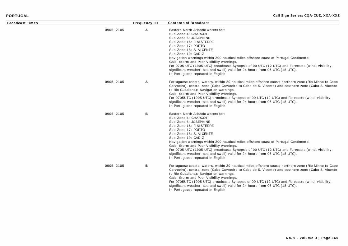
PORTUGAL Call Sign Series: CQA-CUZ, XXA-XXZ
Broadcast Times Frequency ID Contents of Broadcast
0905, 2105 A Eastern North Atlantic waters for:Sub-Zone 4: CHARCOTSub-Zone 6: JOSEPHINESub-Zone 16: FINISTERRESub-Zone 17: PORTOSub-Zone 18: S. VICENTESub-Zone 19: CADIZNavigation warnings within 200 nautical miles offshore coast of Portugal Continental.Gale, Storm and Poor Visibility warnings.For 0705 UTC (1905 UTC) broadcast: Synopsis of 00 UTC (12 UTC) and Forecasts (wind, visibility, significant weather, sea and swell) valid for 24 hours from 06 UTC (18 UTC).In Portuguese repeated in English.
0905, 2105 A Portuguese coastal waters, within 20 nautical miles offshore coast; northern zone (Rio Minho to Cabo Carvoeiro), central zone (Cabo Carvoeiro to Cabo de S. Vicente) and southern zone (Cabo S. Vicente to Rio Guadiana): Navigation warnings.Gale, Storm and Poor Visibility warnings.For 0705UTC (1905 UTC) broadcast: Synopsis of 00 UTC (12 UTC) and Forecasts (wind, visibility, significant weather, sea and swell) valid for 24 hours from 06 UTC (18 UTC).In Portuguese repeated in English.
0905, 2105 B Eastern North Atlantic waters for:Sub-Zone 4: CHARCOTSub-Zone 6: JOSEPHINESub-Zone 16: FINISTERRESub-Zone 17: PORTOSub-Zone 18: S. VICENTESub-Zone 19: CADIZNavigation warnings within 200 nautical miles offshore coast of Portugal Continental.Gale, Storm and Poor Visibility warnings.For 0705 UTC (1905 UTC) broadcast: Synopsis of 00 UTC (12 UTC) and Forecasts (wind, visibility, significant weather, sea and swell) valid for 24 hours from 06 UTC (18 UTC).In Portuguese repeated in English.
0905, 2105 B Portuguese coastal waters, within 20 nautical miles offshore coast; northern zone (Rio Minho to Cabo Carvoeiro), central zone (Cabo Carvoeiro to Cabo de S. Vicente) and southern zone (Cabo S. Vicente to Rio Guadiana): Navigation warnings.Gale, Storm and Poor Visibility warnings.For 0705UTC (1905 UTC) broadcast: Synopsis of 00 UTC (12 UTC) and Forecasts (wind, visibility, significant weather, sea and swell) valid for 24 hours from 06 UTC (18 UTC).In Portuguese repeated in English.
No. 9 - Volume D ¦ Page 365
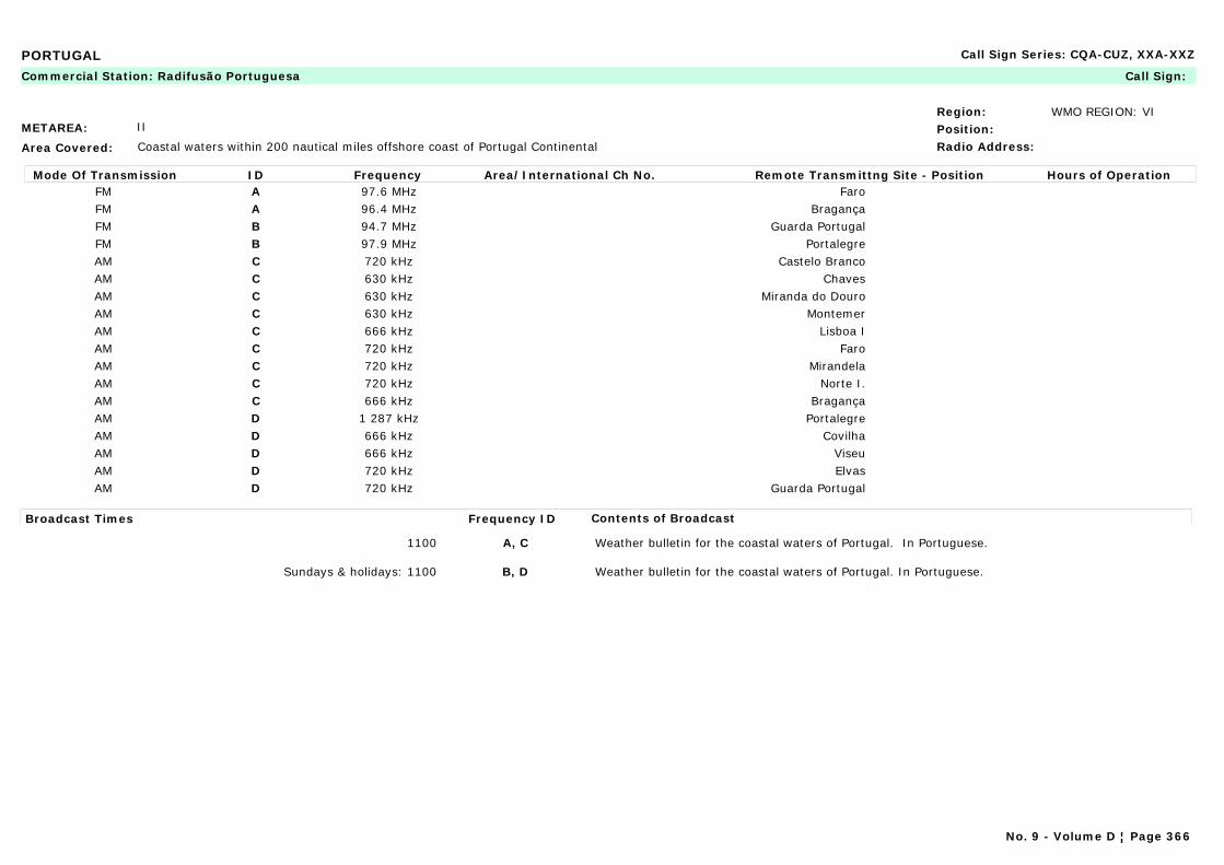
PORTUGAL Call Sign Series: CQA-CUZ, XXA-XXZ
METAREA: II
Area Covered: Coastal waters within 200 nautical miles offshore coast of Portugal Continental
Region: WMO REGION: VIPosition:Radio Address:
Commercial Station: Radifusão Portuguesa Call Sign:
Mode Of Transmission ID Frequency Area/International Ch No. Remote Transmittng Site - Position Hours of OperationFM A 97.6 MHz FaroFM A 96.4 MHz BragançaFM B 94.7 MHz Guarda PortugalFM B 97.9 MHz PortalegreAM C 720 kHz Castelo BrancoAM C 630 kHz ChavesAM C 630 kHz Miranda do DouroAM C 630 kHz MontemerAM C 666 kHz Lisboa IAM C 720 kHz FaroAM C 720 kHz MirandelaAM C 720 kHz Norte I.AM C 666 kHz BragançaAM D 1 287 kHz PortalegreAM D 666 kHz CovilhaAM D 666 kHz ViseuAM D 720 kHz ElvasAM D 720 kHz Guarda Portugal
Broadcast Times Frequency ID Contents of Broadcast
1100 A, C Weather bulletin for the coastal waters of Portugal. In Portuguese.
Sundays & holidays: 1100 B, D Weather bulletin for the coastal waters of Portugal. In Portuguese.
No. 9 - Volume D ¦ Page 366
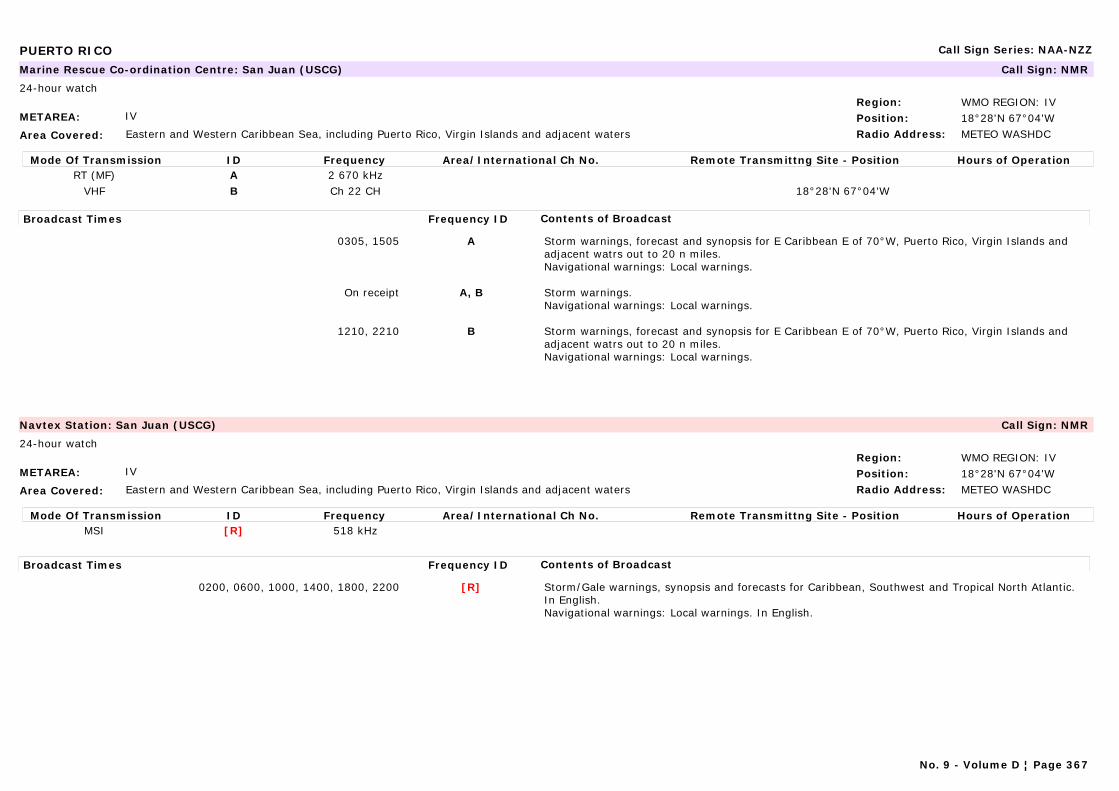
PUERTO RICO Call Sign Series: NAA-NZZ
METAREA: IV
Area Covered: Eastern and Western Caribbean Sea, including Puerto Rico, Virgin Islands and adjacent waters
Region: WMO REGION: IVPosition: 18°28'N 67°04'WRadio Address: METEO WASHDC
Marine Rescue Co-ordination Centre: San Juan (USCG) Call Sign: NMR
24-hour watch
Mode Of Transmission ID Frequency Area/International Ch No. Remote Transmittng Site - Position Hours of OperationRT (MF) A 2 670 kHz
VHF B Ch 22 CH 18°28'N 67°04'W
Broadcast Times Frequency ID Contents of Broadcast
0305, 1505 A Storm warnings, forecast and synopsis for E Caribbean E of 70°W, Puerto Rico, Virgin Islands and adjacent watrs out to 20 n miles.Navigational warnings: Local warnings.
On receipt A, B Storm warnings.Navigational warnings: Local warnings.
1210, 2210 B Storm warnings, forecast and synopsis for E Caribbean E of 70°W, Puerto Rico, Virgin Islands and adjacent watrs out to 20 n miles.Navigational warnings: Local warnings.
METAREA: IV
Area Covered: Eastern and Western Caribbean Sea, including Puerto Rico, Virgin Islands and adjacent waters
Region: WMO REGION: IVPosition: 18°28'N 67°04'WRadio Address: METEO WASHDC
Navtex Station: San Juan (USCG) Call Sign: NMR
24-hour watch
Mode Of Transmission ID Frequency Area/International Ch No. Remote Transmittng Site - Position Hours of OperationMSI [R] 518 kHz
Broadcast Times Frequency ID Contents of Broadcast
0200, 0600, 1000, 1400, 1800, 2200 [R] Storm/Gale warnings, synopsis and forecasts for Caribbean, Southwest and Tropical North Atlantic. In English.Navigational warnings: Local warnings. In English.
No. 9 - Volume D ¦ Page 367
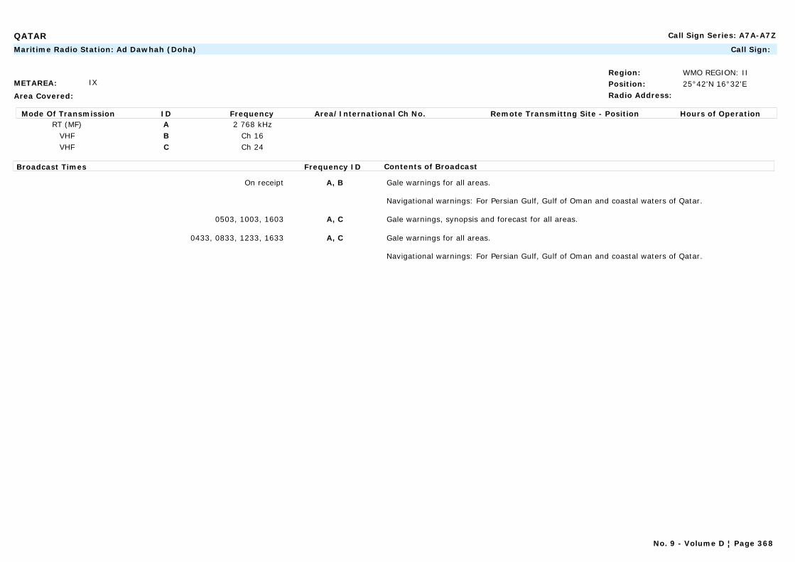
QATAR Call Sign Series: A7A-A7Z
METAREA: IX
Area Covered:
Region: WMO REGION: IIPosition: 25°42'N 16°32'ERadio Address:
Maritime Radio Station: Ad Dawhah (Doha) Call Sign:
Mode Of Transmission ID Frequency Area/International Ch No. Remote Transmittng Site - Position Hours of OperationRT (MF) A 2 768 kHz
VHF B Ch 16VHF C Ch 24
Broadcast Times Frequency ID Contents of Broadcast
On receipt A, B Gale warnings for all areas.
Navigational warnings: For Persian Gulf, Gulf of Oman and coastal waters of Qatar.
0503, 1003, 1603 A, C Gale warnings, synopsis and forecast for all areas.
0433, 0833, 1233, 1633 A, C Gale warnings for all areas.
Navigational warnings: For Persian Gulf, Gulf of Oman and coastal waters of Qatar.
No. 9 - Volume D ¦ Page 368
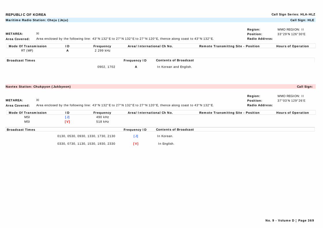
REPUBLIC OF KOREA Call Sign Series: HLA-HLZ
METAREA: XI
Area Covered: Area enclosed by the following line: 43°N 132°E to 27°N 132°E to 27°N 120°E, thence along coast to 43°N 132°E.
Region: WMO REGION: IIPosition: 33°29'N 126°30'ERadio Address:
Maritime Radio Station: Cheju (Jeju) Call Sign: HLE
Mode Of Transmission ID Frequency Area/International Ch No. Remote Transmittng Site - Position Hours of OperationRT (MF) A 2 299 kHz
Broadcast Times Frequency ID Contents of Broadcast
0902, 1702 A In Korean and English.
METAREA: XI
Area Covered: Area enclosed by the following line: 43°N 132°E to 27°N 132°E to 27°N 120°E, thence along coast to 43°N 132°E.
Region: WMO REGION: IIPosition: 37°03'N 129°26'ERadio Address:
Navtex Station: Chukpyon (Jukbyeon) Call Sign:
Mode Of Transmission ID Frequency Area/International Ch No. Remote Transmittng Site - Position Hours of OperationMSI [J] 490 kHzMSI [V] 518 kHz
Broadcast Times Frequency ID Contents of Broadcast
0130, 0530, 0930, 1330, 1730, 2130 [J] In Korean.
0330, 0730, 1130, 1530, 1930, 2330 [V] In English.
No. 9 - Volume D ¦ Page 369
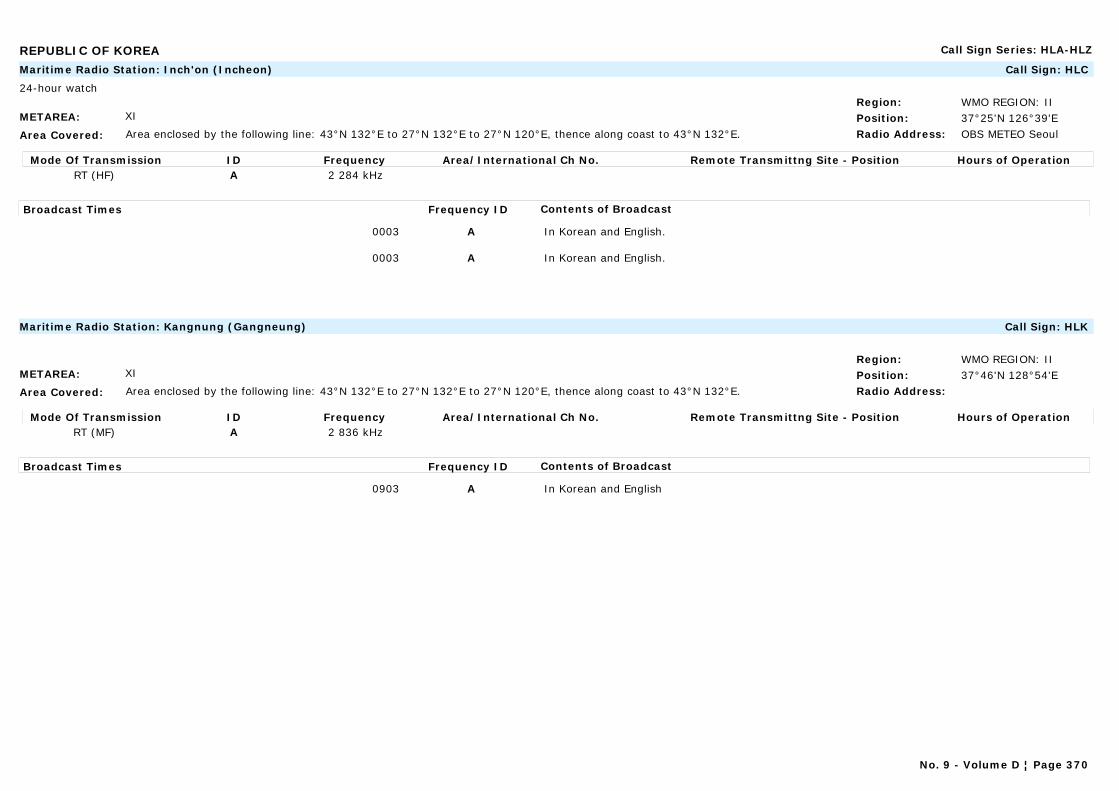
REPUBLIC OF KOREA Call Sign Series: HLA-HLZ
METAREA: XI
Area Covered: Area enclosed by the following line: 43°N 132°E to 27°N 132°E to 27°N 120°E, thence along coast to 43°N 132°E.
Region: WMO REGION: IIPosition: 37°25'N 126°39'ERadio Address: OBS METEO Seoul
Maritime Radio Station: Inch'on (Incheon) Call Sign: HLC
24-hour watch
Mode Of Transmission ID Frequency Area/International Ch No. Remote Transmittng Site - Position Hours of OperationRT (HF) A 2 284 kHz
Broadcast Times Frequency ID Contents of Broadcast
0003 A In Korean and English.
0003 A In Korean and English.
METAREA: XI
Area Covered: Area enclosed by the following line: 43°N 132°E to 27°N 132°E to 27°N 120°E, thence along coast to 43°N 132°E.
Region: WMO REGION: IIPosition: 37°46'N 128°54'ERadio Address:
Maritime Radio Station: Kangnung (Gangneung) Call Sign: HLK
Mode Of Transmission ID Frequency Area/International Ch No. Remote Transmittng Site - Position Hours of OperationRT (MF) A 2 836 kHz
Broadcast Times Frequency ID Contents of Broadcast
0903 A In Korean and English
No. 9 - Volume D ¦ Page 370
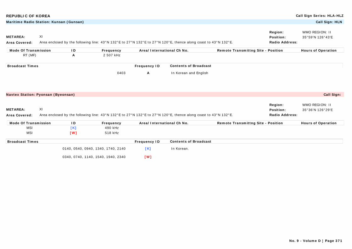
REPUBLIC OF KOREA Call Sign Series: HLA-HLZ
METAREA: XI
Area Covered: Area enclosed by the following line: 43°N 132°E to 27°N 132°E to 27°N 120°E, thence along coast to 43°N 132°E.
Region: WMO REGION: IIPosition: 35°59'N 126°43'ERadio Address:
Maritime Radio Station: Kunsan (Gunsan) Call Sign: HLN
Mode Of Transmission ID Frequency Area/International Ch No. Remote Transmittng Site - Position Hours of OperationRT (MF) A 2 507 kHz
Broadcast Times Frequency ID Contents of Broadcast
0403 A In Korean and English
METAREA: XI
Area Covered: Area enclosed by the following line: 43°N 132°E to 27°N 132°E to 27°N 120°E, thence along coast to 43°N 132°E.
Region: WMO REGION: IIPosition: 35°36'N 126°29'ERadio Address:
Navtex Station: Pyonsan (Byeonsan) Call Sign:
Mode Of Transmission ID Frequency Area/International Ch No. Remote Transmittng Site - Position Hours of OperationMSI [K] 490 kHzMSI [W] 518 kHz
Broadcast Times Frequency ID Contents of Broadcast
0140, 0540, 0940, 1340, 1740, 2140 [K] In Korean.
0340, 0740, 1140, 1540, 1940, 2340 [W]
No. 9 - Volume D ¦ Page 371
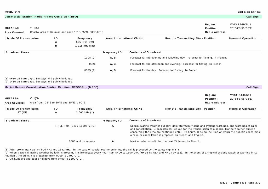
RÉUNION Call Sign Series:
METAREA: VIII(S)
Area Covered: Coastal area of Réunion and zone 15°S-25°S, 50°E-60°E
Region: WMO REGION: IPosition: 20°54'S 55°36'ERadio Address:
Commercial Station: Radio-France Outre-Mer (RFO) Call Sign:
Mode Of Transmission ID Frequency Area/International Ch No. Remote Transmittng Site - Position Hours of OperationA 666 kHz (SW)B 1 215 kHz (NE)
Broadcast Times Frequency ID Contents of Broadcast
1308 (2) A, B Forecast for the evening and following day. Forecast for fishing. In French.
0828 A, B Forecast for the afternoon and evening. Forecast for fishing. In French.
0335 (1) A, B Forecast for the day. Forecast for fishing. In French.
(1) 0610 on Saturdays, Sundays and public holidays.(2) 1410 on Saturdays, Sundays and public holidays.
METAREA: VIII(S)
Area Covered: Area from: 05°S to 30°S and 30°E to 90°E
Region: WMO REGION: IPosition: 20°54'S 55°36'ERadio Address:
Marine Rescue Co-ordination Centre: Réunion (CROSSRU) (MRCC) Call Sign:
Mode Of Transmission ID Frequency Area/International Ch No. Remote Transmittng Site - Position Hours of OperationRT (MF) A 2 600 kHz (1)
Broadcast Times Frequency ID Contents of Broadcast
H+15 from (0400-1600) (2)(3) A Special Marine weather bulletin: gale/storm/hurricane and cyclone warnings, and warnings of calm and cancellation. Broadcasts carried out for the transmission of a special Marine weather bulletin concerning the area are continued until H+8 hours, H being the time at which the bulletin concerning a calm or cancellation is prepared. In French and English.
0503 and on request A Marine bulletins valid for the next 24 hours. In French.
(1) After preliminary call on 500 kHz and 2182 kHz. In the case of special Marine bulletins, the call is preceded by the safety signal TTT.(2) When a special Marine weather bulletin is present, it is broadcast every hour from 0400 to 1600 UTC (H+15 by A1A and H+03 by J3E). In the event of a tropical cyclone watch or warning in La Reunion , the bulletin is broadcast from 0000 to 2400 UTC.(3) On Sundays and public holidays from 0400 to 1100 UTC .
No. 9 - Volume D ¦ Page 372

ROMANIA Call Sign Series: YOA-YRZ
METAREA: III
Area Covered: Western part of the Black Sea:45°13'N 29°40'E; 49°09'N 29°58'E; 44°30'N 30°16'E; 44°15'N 30°24'E; 43°41'N 30°32'E; 43°44'N 29°02'E; 43°40'N 29°00'E; 43°45'N 28°36'E
Region: WMO REGION: VIPosition: 44°06'N 28°37'ERadio Address: METEO Constanta
Maritime Radio Station: Constanta (Constantza) Radio Call Sign: YQI
24-hour watch
Mode Of Transmission ID Frequency Area/International Ch No. Remote Transmittng Site - Position Hours of OperationA 446.5 kHz(1)
RT (MF) B 2 748 kHz(2)VHF C Ch 12, 26(3)
Broadcast Times Frequency ID Contents of Broadcast
0650, 1250, 1850 A Forecast valid for 24 hours for the area affected. In English and Romanian.
0733, 1333, 1933 B Forecast valid for 24 hours for the area affected. In English and Romanian.
0703, 1303, 1903 C Forecast valid for 24 hours for the area affected. In English and Romanian.
Notes:A network of VHF radio stations remotely controlled by Constanta Radio and connected to MRCC Constanta is responsible for maintaining a continuous listening watch on international distress frequencies.
(1) After preliminary call on 500 kHz A2a.(2) After preliminary call on DSC 2187.5 kHz F1B.(3) After preliminary call on DSC Ch 70 F1B.
METAREA: III
Area Covered: Western part of the Black Sea:45°13'N 29°40'E; 49°09'N 29°58'E; 44°30'N 30°16'E; 44°15'N 30°24'E; 43°41'N 30°32'E; 43°44'N 29°02'E; 43°40'N 29°00'E; 43°45'N 28°36'E
Region: WMO REGION: VIPosition: 44°06'N 28°37'ERadio Address: METEO Constanta
Navtex Station: Constanta (Constantza) Radio Call Sign: YQI
24-hour watch
Mode Of Transmission ID Frequency Area/International Ch No. Remote Transmittng Site - Position Hours of OperationMSI [L] 490 kHzMSI [L] 518 kHz
Broadcast Times Frequency ID Contents of Broadcast
0550, 0950, 1350, 1750, 2150, 0150 [L] Forecast valid for 24 hours for the area affected. In Romanian.
0930, 2130 [L] Forecast valid for 24 hours for the area affected. In English.
No. 9 - Volume D ¦ Page 373
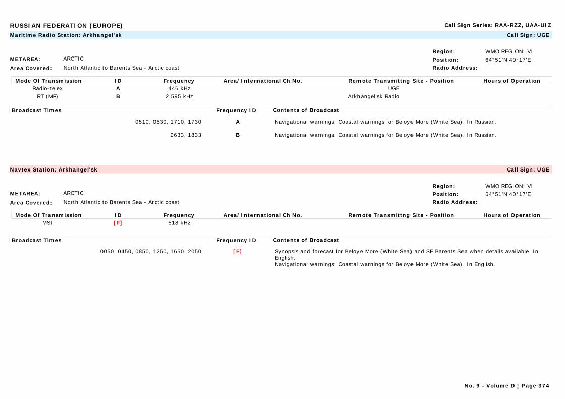
RUSSIAN FEDERATION (EUROPE) Call Sign Series: RAA-RZZ, UAA-UIZ
METAREA: ARCTIC
Area Covered: North Atlantic to Barents Sea - Arctic coast
Region: WMO REGION: VIPosition: 64°51'N 40°17'ERadio Address:
Maritime Radio Station: Arkhangel'sk Call Sign: UGE
Mode Of Transmission ID Frequency Area/International Ch No. Remote Transmittng Site - Position Hours of OperationRadio-telex A 446 kHz UGE
RT (MF) B 2 595 kHz Arkhangel'sk Radio
Broadcast Times Frequency ID Contents of Broadcast
0510, 0530, 1710, 1730 A Navigational warnings: Coastal warnings for Beloye More (White Sea). In Russian.
0633, 1833 B Navigational warnings: Coastal warnings for Beloye More (White Sea). In Russian.
METAREA: ARCTIC
Area Covered: North Atlantic to Barents Sea - Arctic coast
Region: WMO REGION: VIPosition: 64°51'N 40°17'ERadio Address:
Navtex Station: Arkhangel'sk Call Sign: UGE
Mode Of Transmission ID Frequency Area/International Ch No. Remote Transmittng Site - Position Hours of OperationMSI [F] 518 kHz
Broadcast Times Frequency ID Contents of Broadcast
0050, 0450, 0850, 1250, 1650, 2050 [F] Synopsis and forecast for Beloye More (White Sea) and SE Barents Sea when details available. In English.Navigational warnings: Coastal warnings for Beloye More (White Sea). In English.
No. 9 - Volume D ¦ Page 374
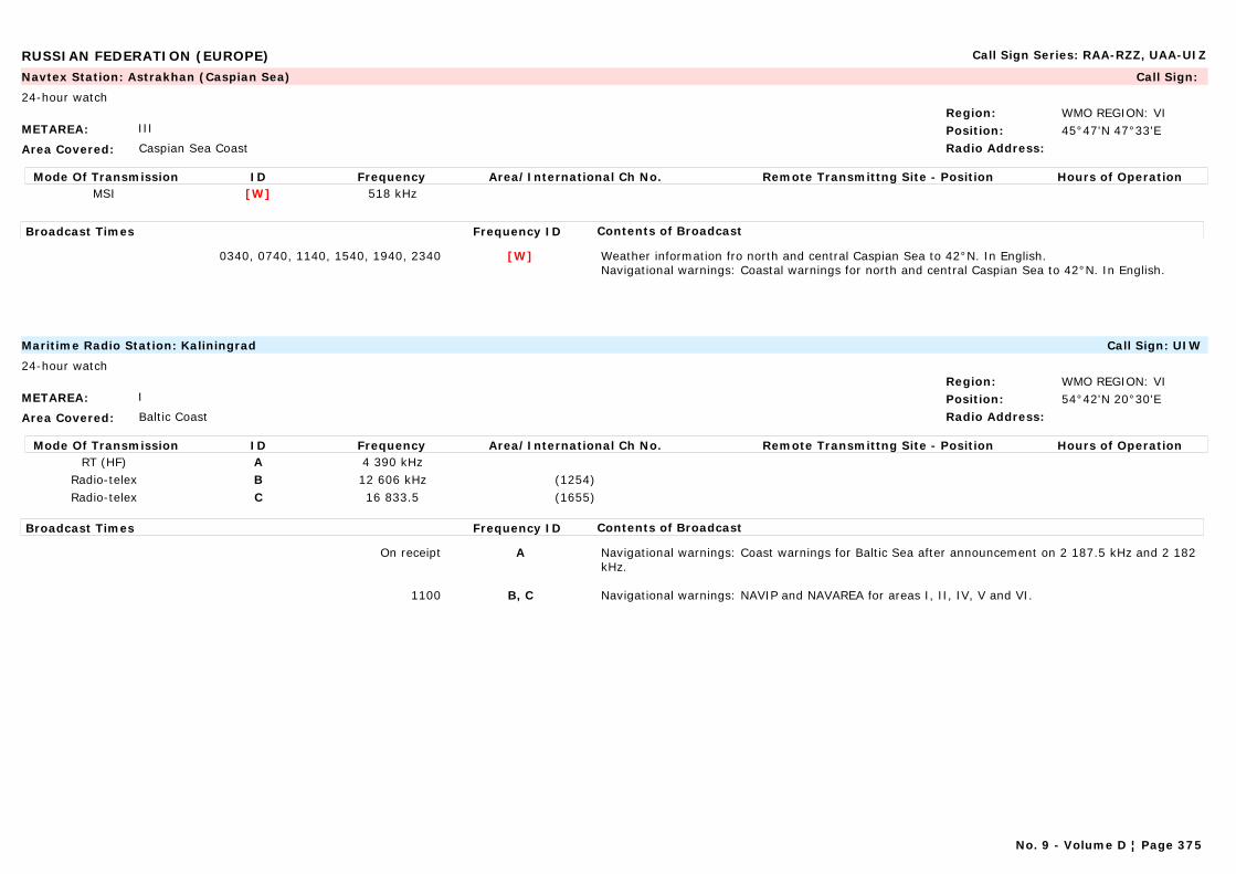
RUSSIAN FEDERATION (EUROPE) Call Sign Series: RAA-RZZ, UAA-UIZ
METAREA: III
Area Covered: Caspian Sea Coast
Region: WMO REGION: VIPosition: 45°47'N 47°33'ERadio Address:
Navtex Station: Astrakhan (Caspian Sea) Call Sign:
24-hour watch
Mode Of Transmission ID Frequency Area/International Ch No. Remote Transmittng Site - Position Hours of OperationMSI [W] 518 kHz
Broadcast Times Frequency ID Contents of Broadcast
0340, 0740, 1140, 1540, 1940, 2340 [W] Weather information fro north and central Caspian Sea to 42°N. In English.Navigational warnings: Coastal warnings for north and central Caspian Sea to 42°N. In English.
METAREA: I
Area Covered: Baltic Coast
Region: WMO REGION: VIPosition: 54°42'N 20°30'ERadio Address:
Maritime Radio Station: Kaliningrad Call Sign: UIW
24-hour watch
Mode Of Transmission ID Frequency Area/International Ch No. Remote Transmittng Site - Position Hours of OperationRT (HF) A 4 390 kHz
Radio-telex B 12 606 kHz (1254)Radio-telex C 16 833.5 (1655)
Broadcast Times Frequency ID Contents of Broadcast
On receipt A Navigational warnings: Coast warnings for Baltic Sea after announcement on 2 187.5 kHz and 2 182 kHz.
1100 B, C Navigational warnings: NAVIP and NAVAREA for areas I, II, IV, V and VI.
No. 9 - Volume D ¦ Page 375
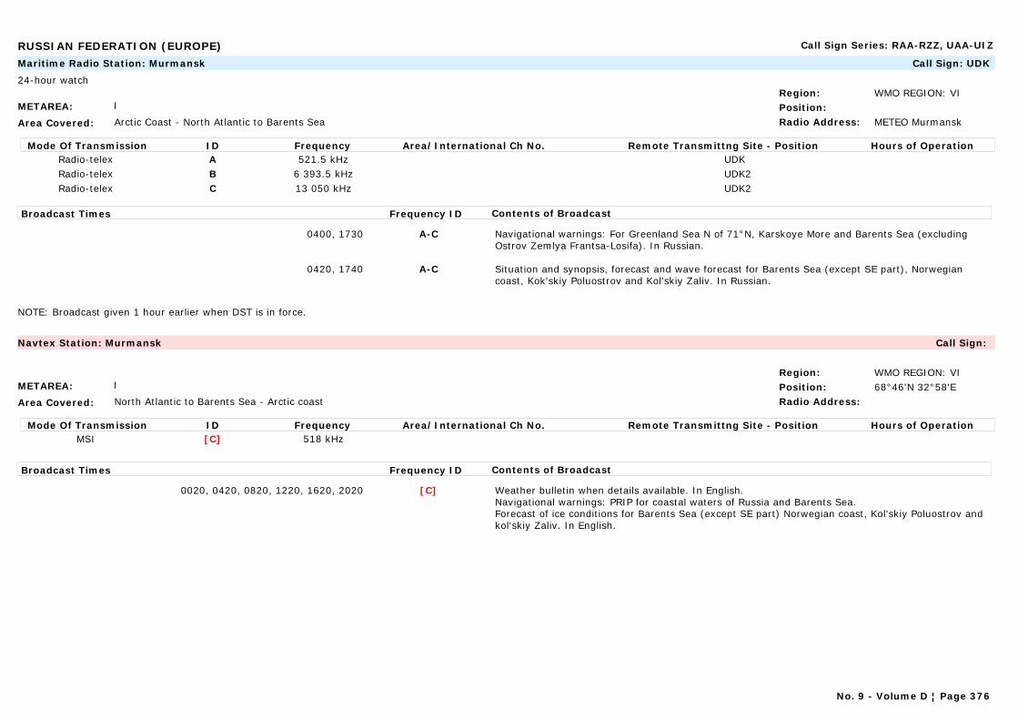
RUSSIAN FEDERATION (EUROPE) Call Sign Series: RAA-RZZ, UAA-UIZ
METAREA: I
Area Covered: Arctic Coast - North Atlantic to Barents Sea
Region: WMO REGION: VIPosition:Radio Address: METEO Murmansk
Maritime Radio Station: Murmansk Call Sign: UDK
24-hour watch
Mode Of Transmission ID Frequency Area/International Ch No. Remote Transmittng Site - Position Hours of OperationRadio-telex A 521.5 kHz UDKRadio-telex B 6 393.5 kHz UDK2Radio-telex C 13 050 kHz UDK2
Broadcast Times Frequency ID Contents of Broadcast
0400, 1730 A-C Navigational warnings: For Greenland Sea N of 71°N, Karskoye More and Barents Sea (excluding Ostrov Zemlya Frantsa-Losifa). In Russian.
0420, 1740 A-C Situation and synopsis, forecast and wave forecast for Barents Sea (except SE part), Norwegian coast, Kok'skiy Poluostrov and Kol'skiy Zaliv. In Russian.
NOTE: Broadcast given 1 hour earlier when DST is in force.
METAREA: I
Area Covered: North Atlantic to Barents Sea - Arctic coast
Region: WMO REGION: VIPosition: 68°46'N 32°58'ERadio Address:
Navtex Station: Murmansk Call Sign:
Mode Of Transmission ID Frequency Area/International Ch No. Remote Transmittng Site - Position Hours of OperationMSI [C] 518 kHz
Broadcast Times Frequency ID Contents of Broadcast
0020, 0420, 0820, 1220, 1620, 2020 [C] Weather bulletin when details available. In English.Navigational warnings: PRIP for coastal waters of Russia and Barents Sea.Forecast of ice conditions for Barents Sea (except SE part) Norwegian coast, Kol'skiy Poluostrov and kol'skiy Zaliv. In English.
No. 9 - Volume D ¦ Page 376

RUSSIAN FEDERATION (EUROPE) Call Sign Series: RAA-RZZ, UAA-UIZ
METAREA: III
Area Covered: Mediterranean Sea/Black Sea coast
Region: WMO REGION: VIPosition: 44°36'N 37°58'ERadio Address:
Navtex Station: Novorossiysk Call Sign:
24-hour watch
Mode Of Transmission ID Frequency Area/International Ch No. Remote Transmittng Site - Position Hours of OperationMSI [A] 518 kHz
Broadcast Times Frequency ID Contents of Broadcast
0300, 0700, 1100, 1500, 1900, 2300 [A] Navigational warnings: Coastal warnings for Russian waters in Black Sea, Sea of Azov and Kerchenskiy Proliv. In English.
0700, 1500 [A] Storm warnings and weather forecast for areas Anapa-Tuance. In English.
METAREA: XIII
Area Covered: Pacific coast
Region: WMO REGION: VIPosition:Radio Address:
Maritime Radio Station: Tiksi Call Sign:
Mode Of Transmission ID Frequency Area/International Ch No. Remote Transmittng Site - Position Hours of OperationRT (HF) A 4 351 kHz
Broadcast Times Frequency ID Contents of Broadcast
0900, 2300 A Weather forecast for Reka Lena, Reka Yana and adjacent sea areas. In Russian.
Broadcast given 1 hour earlier when DST is in force.
No. 9 - Volume D ¦ Page 377

RUSSIAN FEDERATION (IN ASIA) Call Sign Series: RAA-RZZ, UAA-UIZ
METAREA: XIII
Area Covered: West Pacific/Sea of Japan
Region: WMO REGION: IIPosition:Radio Address:
Maritime Radio Station: Beringovskiy Call Sign:
Mode Of Transmission ID Frequency Area/International Ch No. Remote Transmittng Site - Position Hours of OperationRT (MF) A 2 525 kHzRT (MF) B 3 730 kHz
Radio-telex C 2 182 kHz
Broadcast Times Frequency ID Contents of Broadcast
Continuous broadcast A-C 24 hour weather forecast for Port Beringovskiy and coastal waters out to 20 n miles from Anadyrskiy Liman to Bukhta Dezhneva. (In Russian)
Note: Station broadcasts only during navigation season (15 May-1 December)
METAREA: ARCTIC
Area Covered: Arctic Coast
Region: WMO REGION: IIPosition:Radio Address:
Maritime Radio Station: Dickson Call Sign: UCI
Mode Of Transmission ID Frequency Area/International Ch No. Remote Transmittng Site - Position Hours of OperationRadio-telex A 428.6 kHz
Broadcast Times Frequency ID Contents of Broadcast
0818, 2018 Navigational warnings: Coastal warnings for Karskoye More (including Ostrov Zemlya Frantsa-losifa) and More Laptevykh to 125°E. In Russian.
NOTE: Broadcast given 1 hour earlier when DST is in force.
No. 9 - Volume D ¦ Page 378
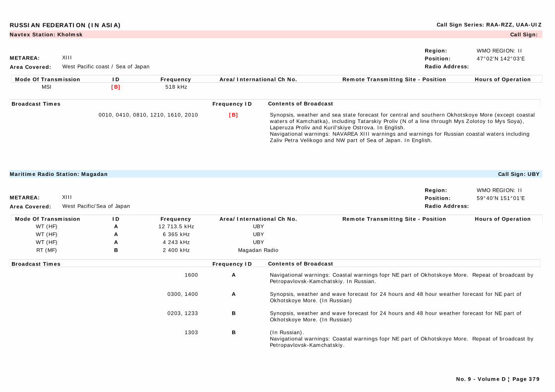
RUSSIAN FEDERATION (IN ASIA) Call Sign Series: RAA-RZZ, UAA-UIZ
METAREA: XIII
Area Covered: West Pacific coast / Sea of Japan
Region: WMO REGION: IIPosition: 47°02'N 142°03'ERadio Address:
Navtex Station: Kholmsk Call Sign:
Mode Of Transmission ID Frequency Area/International Ch No. Remote Transmittng Site - Position Hours of OperationMSI [B] 518 kHz
Broadcast Times Frequency ID Contents of Broadcast
0010, 0410, 0810, 1210, 1610, 2010 [B] Synopsis, weather and sea state forecast for central and southern Okhotskoye More (except coastal waters of Kamchatka), including Tatarskiy Proliv (N of a line through Mys Zolotoy to Mys Soya), Laperuza Proliv and Kuril'skiye Ostrova. In English.Navigational warnings: NAVAREA XIII warnings and warnings for Russian coastal waters including Zaliv Petra Velikogo and NW part of Sea of Japan. In English.
METAREA: XIII
Area Covered: West Pacific/Sea of Japan
Region: WMO REGION: IIPosition: 59°40'N 151°01'ERadio Address:
Maritime Radio Station: Magadan Call Sign: UBY
Mode Of Transmission ID Frequency Area/International Ch No. Remote Transmittng Site - Position Hours of OperationWT (HF) A 12 713.5 kHz UBYWT (HF) A 6 365 kHz UBYWT (HF) A 4 243 kHz UBYRT (MF) B 2 400 kHz Magadan Radio
Broadcast Times Frequency ID Contents of Broadcast
1600 A Navigational warnings: Coastal warnings fopr NE part of Okhotskoye More. Repeat of broadcast by Petropavlovsk-Kamchatskiy. In Russian.
0300, 1400 A Synopsis, weather and wave forecast for 24 hours and 48 hour weather forecast for NE part of Okhotskoye More. (In Russian)
0203, 1233 B Synopsis, weather and wave forecast for 24 hours and 48 hour weather forecast for NE part of Okhotskoye More. (In Russian)
1303 B (In Russian).Navigational warnings: Coastal warnings fopr NE part of Okhotskoye More. Repeat of broadcast by Petropavlovsk-Kamchatskiy.
No. 9 - Volume D ¦ Page 379
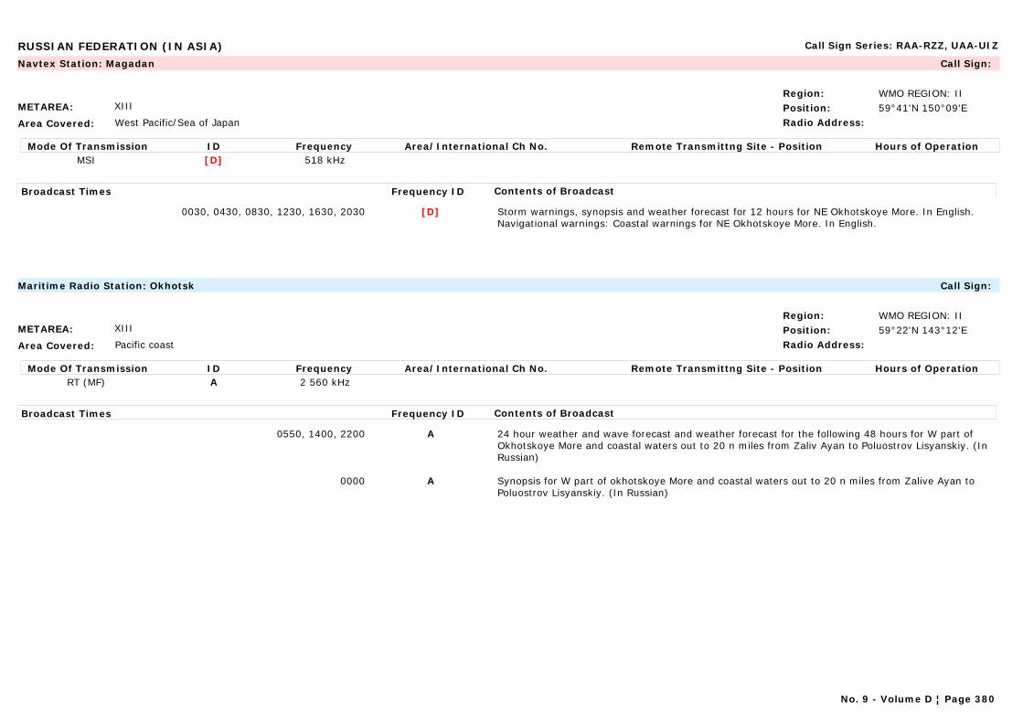
RUSSIAN FEDERATION (IN ASIA) Call Sign Series: RAA-RZZ, UAA-UIZ
METAREA: XIII
Area Covered: West Pacific/Sea of Japan
Region: WMO REGION: IIPosition: 59°41'N 150°09'ERadio Address:
Navtex Station: Magadan Call Sign:
Mode Of Transmission ID Frequency Area/International Ch No. Remote Transmittng Site - Position Hours of OperationMSI [D] 518 kHz
Broadcast Times Frequency ID Contents of Broadcast
0030, 0430, 0830, 1230, 1630, 2030 [D] Storm warnings, synopsis and weather forecast for 12 hours for NE Okhotskoye More. In English.Navigational warnings: Coastal warnings for NE Okhotskoye More. In English.
METAREA: XIII
Area Covered: Pacific coast
Region: WMO REGION: IIPosition: 59°22'N 143°12'ERadio Address:
Maritime Radio Station: Okhotsk Call Sign:
Mode Of Transmission ID Frequency Area/International Ch No. Remote Transmittng Site - Position Hours of OperationRT (MF) A 2 560 kHz
Broadcast Times Frequency ID Contents of Broadcast
0550, 1400, 2200 A 24 hour weather and wave forecast and weather forecast for the following 48 hours for W part of Okhotskoye More and coastal waters out to 20 n miles from Zaliv Ayan to Poluostrov Lisyanskiy. (In Russian)
0000 A Synopsis for W part of okhotskoye More and coastal waters out to 20 n miles from Zalive Ayan to Poluostrov Lisyanskiy. (In Russian)
No. 9 - Volume D ¦ Page 380

RUSSIAN FEDERATION (IN ASIA) Call Sign Series: RAA-RZZ, UAA-UIZ
METAREA: XIII
Area Covered: Pacific coast
Region: WMO REGION: IIPosition: 59°22'N 143°12'ERadio Address:
Navtex Station: Okhotsk Call Sign:
Mode Of Transmission ID Frequency Area/International Ch No. Remote Transmittng Site - Position Hours of OperationMSI [G] 518 kHz
Broadcast Times Frequency ID Contents of Broadcast
0100, 0500, 0900, 1300, 1700, 2100 [G] Storm warnings, synopsis and weather forecast for 24 hours for NW Okhotskoye More. In English.Navigational warnings: Coastal warnings for NE Okhotskoye More. In English.
METAREA: XIII
Area Covered: West Pacific/Sea of Japan
Region: WMO REGION: IIPosition: 53°15'N 158°25'ERadio Address:
Navtex Station: Petropavlovsk Call Sign:
24-hour watch
Mode Of Transmission ID Frequency Area/International Ch No. Remote Transmittng Site - Position Hours of OperationMSI [C] 518 kHz
Broadcast Times Frequency ID Contents of Broadcast
0020, 0420, 0820, 1220, 1620, 2020 [C] Synopsis and weather forecast for coastal waters of Kamchatka from Mys Utkholokskiy to Mys Kamchatskiy. In English.Navigational warnings: Coastal warnings for coast of Kamchatka from Mys Kamchatskiy. In English.
No. 9 - Volume D ¦ Page 381
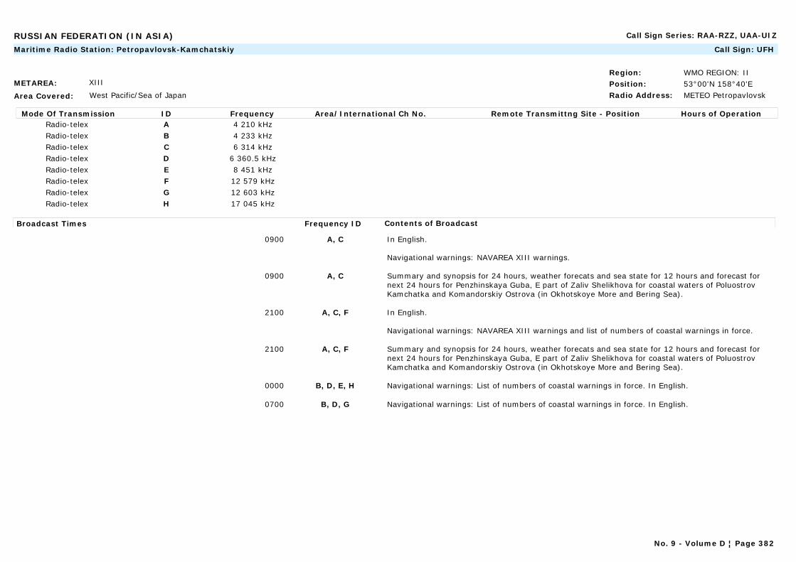
RUSSIAN FEDERATION (IN ASIA) Call Sign Series: RAA-RZZ, UAA-UIZ
METAREA: XIII
Area Covered: West Pacific/Sea of Japan
Region: WMO REGION: IIPosition: 53°00'N 158°40'ERadio Address: METEO Petropavlovsk
Maritime Radio Station: Petropavlovsk-Kamchatskiy Call Sign: UFH
Mode Of Transmission ID Frequency Area/International Ch No. Remote Transmittng Site - Position Hours of OperationRadio-telex A 4 210 kHzRadio-telex B 4 233 kHzRadio-telex C 6 314 kHzRadio-telex D 6 360.5 kHzRadio-telex E 8 451 kHzRadio-telex F 12 579 kHzRadio-telex G 12 603 kHzRadio-telex H 17 045 kHz
Broadcast Times Frequency ID Contents of Broadcast
0900 A, C In English.
Navigational warnings: NAVAREA XIII warnings.
0900 A, C Summary and synopsis for 24 hours, weather forecats and sea state for 12 hours and forecast for next 24 hours for Penzhinskaya Guba, E part of Zaliv Shelikhova for coastal waters of Poluostrov Kamchatka and Komandorskiy Ostrova (in Okhotskoye More and Bering Sea).
2100 A, C, F In English.
Navigational warnings: NAVAREA XIII warnings and list of numbers of coastal warnings in force.
2100 A, C, F Summary and synopsis for 24 hours, weather forecats and sea state for 12 hours and forecast for next 24 hours for Penzhinskaya Guba, E part of Zaliv Shelikhova for coastal waters of Poluostrov Kamchatka and Komandorskiy Ostrova (in Okhotskoye More and Bering Sea).
0000 B, D, E, H Navigational warnings: List of numbers of coastal warnings in force. In English.
0700 B, D, G Navigational warnings: List of numbers of coastal warnings in force. In English.
No. 9 - Volume D ¦ Page 382

RUSSIAN FEDERATION (IN ASIA) Call Sign Series: RAA-RZZ, UAA-UIZ
METAREA: XIII
Area Covered: West Pacific/Sea of Japan
Region: WMO REGION: IIPosition: 43°07'N 131°53'ERadio Address: METEO Vladivostok
Maritime Radio Station: Vladivostok Call Sign: UFL, UFZ
24-hour watch
Mode Of Transmission ID Frequency Area/International Ch No. Remote Transmittng Site - Position Hours of OperationWT (HF) A 4 241 kHz
Radio-telex A 17 175.2 kHzRadio-telex A 12 729 kHzRadio-telex A 8 595 kHzRadio-telex A 3 165 kHz
WT (HF) B 6 430 kHzWT (HF) C 12 870 kHz
No. 9 - Volume D ¦ Page 383
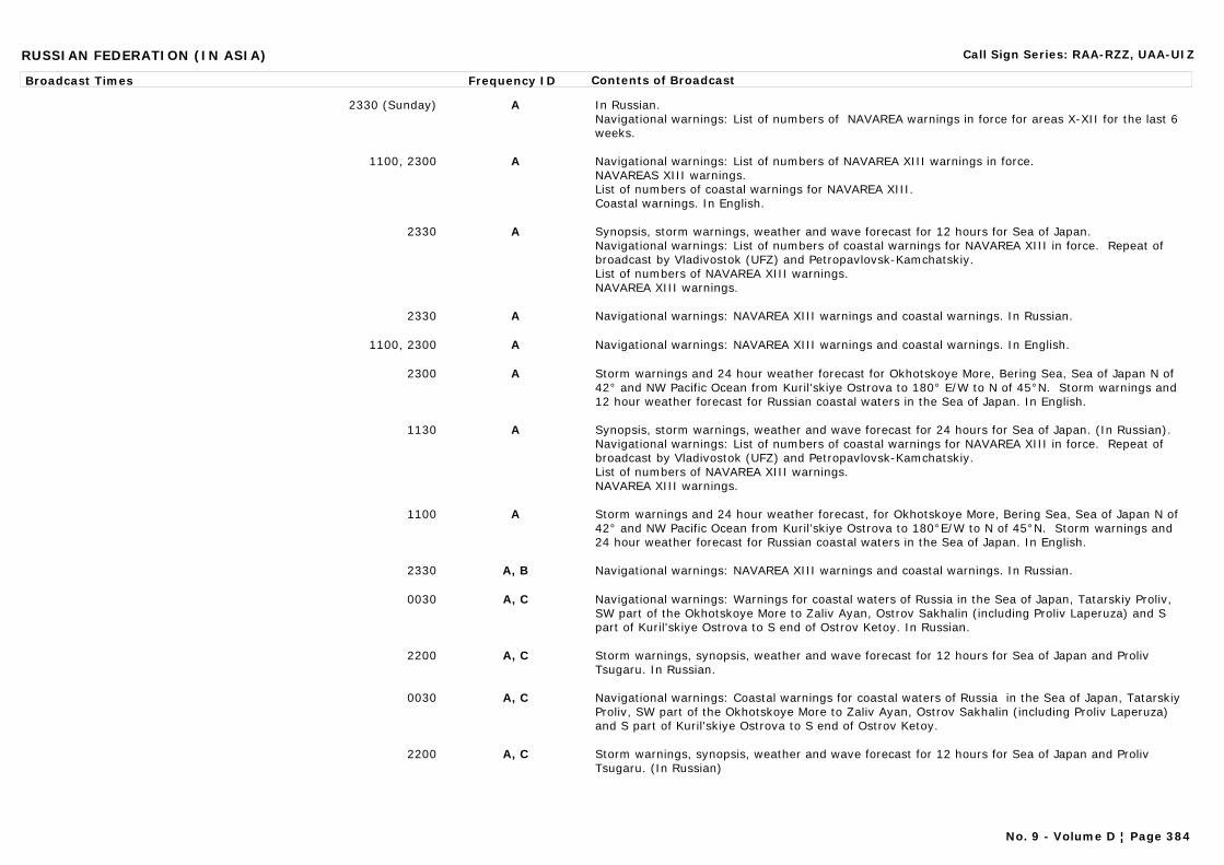
RUSSIAN FEDERATION (IN ASIA) Call Sign Series: RAA-RZZ, UAA-UIZ
Broadcast Times Frequency ID Contents of Broadcast
2330 (Sunday) A In Russian.Navigational warnings: List of numbers of NAVAREA warnings in force for areas X-XII for the last 6 weeks.
1100, 2300 A Navigational warnings: List of numbers of NAVAREA XIII warnings in force.NAVAREAS XIII warnings.List of numbers of coastal warnings for NAVAREA XIII.Coastal warnings. In English.
2330 A Synopsis, storm warnings, weather and wave forecast for 12 hours for Sea of Japan.Navigational warnings: List of numbers of coastal warnings for NAVAREA XIII in force. Repeat of broadcast by Vladivostok (UFZ) and Petropavlovsk-Kamchatskiy.List of numbers of NAVAREA XIII warnings.NAVAREA XIII warnings.
2330 A Navigational warnings: NAVAREA XIII warnings and coastal warnings. In Russian.
1100, 2300 A Navigational warnings: NAVAREA XIII warnings and coastal warnings. In English.
2300 A Storm warnings and 24 hour weather forecast for Okhotskoye More, Bering Sea, Sea of Japan N of 42° and NW Pacific Ocean from Kuril'skiye Ostrova to 180° E/W to N of 45°N. Storm warnings and 12 hour weather forecast for Russian coastal waters in the Sea of Japan. In English.
1130 A Synopsis, storm warnings, weather and wave forecast for 24 hours for Sea of Japan. (In Russian).Navigational warnings: List of numbers of coastal warnings for NAVAREA XIII in force. Repeat of broadcast by Vladivostok (UFZ) and Petropavlovsk-Kamchatskiy.List of numbers of NAVAREA XIII warnings.NAVAREA XIII warnings.
1100 A Storm warnings and 24 hour weather forecast, for Okhotskoye More, Bering Sea, Sea of Japan N of 42° and NW Pacific Ocean from Kuril'skiye Ostrova to 180°E/W to N of 45°N. Storm warnings and 24 hour weather forecast for Russian coastal waters in the Sea of Japan. In English.
2330 A, B Navigational warnings: NAVAREA XIII warnings and coastal warnings. In Russian.
0030 A, C Navigational warnings: Warnings for coastal waters of Russia in the Sea of Japan, Tatarskiy Proliv, SW part of the Okhotskoye More to Zaliv Ayan, Ostrov Sakhalin (including Proliv Laperuza) and S part of Kuril'skiye Ostrova to S end of Ostrov Ketoy. In Russian.
2200 A, C Storm warnings, synopsis, weather and wave forecast for 12 hours for Sea of Japan and Proliv Tsugaru. In Russian.
0030 A, C Navigational warnings: Coastal warnings for coastal waters of Russia in the Sea of Japan, Tatarskiy Proliv, SW part of the Okhotskoye More to Zaliv Ayan, Ostrov Sakhalin (including Proliv Laperuza) and S part of Kuril'skiye Ostrova to S end of Ostrov Ketoy.
2200 A, C Storm warnings, synopsis, weather and wave forecast for 12 hours for Sea of Japan and Proliv Tsugaru. (In Russian)
No. 9 - Volume D ¦ Page 384
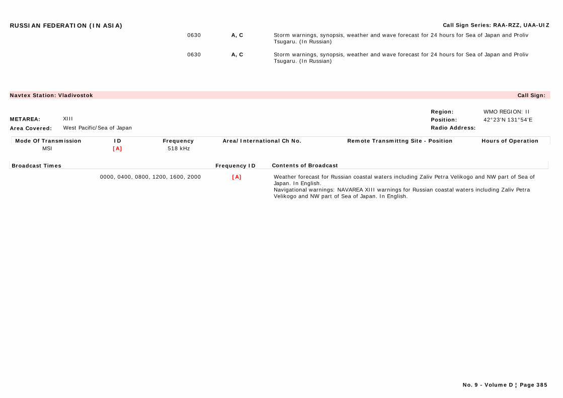
RUSSIAN FEDERATION (IN ASIA) Call Sign Series: RAA-RZZ, UAA-UIZ
0630 A, C Storm warnings, synopsis, weather and wave forecast for 24 hours for Sea of Japan and Proliv Tsugaru. (In Russian)
0630 A, C Storm warnings, synopsis, weather and wave forecast for 24 hours for Sea of Japan and Proliv Tsugaru. (In Russian)
METAREA: XIII
Area Covered: West Pacific/Sea of Japan
Region: WMO REGION: IIPosition: 42°23'N 131°54'ERadio Address:
Navtex Station: Vladivostok Call Sign:
Mode Of Transmission ID Frequency Area/International Ch No. Remote Transmittng Site - Position Hours of OperationMSI [A] 518 kHz
Broadcast Times Frequency ID Contents of Broadcast
0000, 0400, 0800, 1200, 1600, 2000 [A] Weather forecast for Russian coastal waters including Zaliv Petra Velikogo and NW part of Sea of Japan. In English.Navigational warnings: NAVAREA XIII warnings for Russian coastal waters including Zaliv Petra Velikogo and NW part of Sea of Japan. In English.
No. 9 - Volume D ¦ Page 385
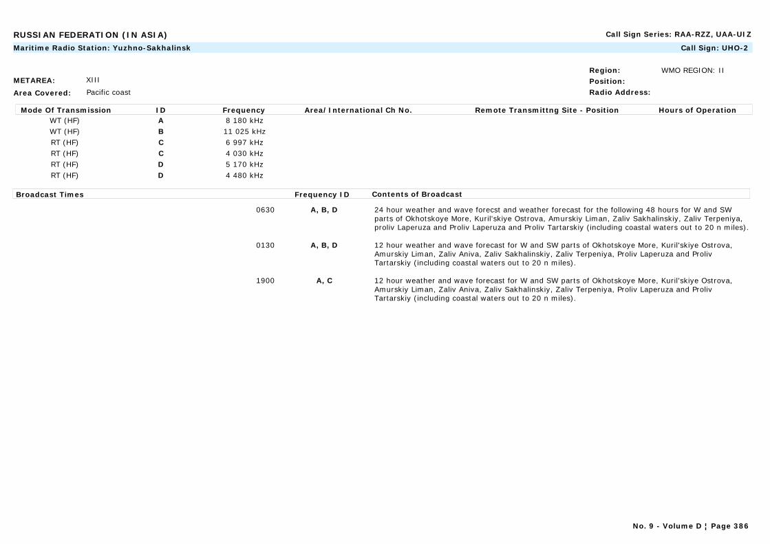
RUSSIAN FEDERATION (IN ASIA) Call Sign Series: RAA-RZZ, UAA-UIZ
METAREA: XIII
Area Covered: Pacific coast
Region: WMO REGION: IIPosition:Radio Address:
Maritime Radio Station: Yuzhno-Sakhalinsk Call Sign: UHO-2
Mode Of Transmission ID Frequency Area/International Ch No. Remote Transmittng Site - Position Hours of OperationWT (HF) A 8 180 kHzWT (HF) B 11 025 kHzRT (HF) C 6 997 kHzRT (HF) C 4 030 kHzRT (HF) D 5 170 kHzRT (HF) D 4 480 kHz
Broadcast Times Frequency ID Contents of Broadcast
0630 A, B, D 24 hour weather and wave forecst and weather forecast for the following 48 hours for W and SW parts of Okhotskoye More, Kuril'skiye Ostrova, Amurskiy Liman, Zaliv Sakhalinskiy, Zaliv Terpeniya, proliv Laperuza and Proliv Laperuza and Proliv Tartarskiy (including coastal waters out to 20 n miles).
0130 A, B, D 12 hour weather and wave forecast for W and SW parts of Okhotskoye More, Kuril'skiye Ostrova, Amurskiy Liman, Zaliv Aniva, Zaliv Sakhalinskiy, Zaliv Terpeniya, Proliv Laperuza and Proliv Tartarskiy (including coastal waters out to 20 n miles).
1900 A, C 12 hour weather and wave forecast for W and SW parts of Okhotskoye More, Kuril'skiye Ostrova, Amurskiy Liman, Zaliv Aniva, Zaliv Sakhalinskiy, Zaliv Terpeniya, Proliv Laperuza and Proliv Tartarskiy (including coastal waters out to 20 n miles).
No. 9 - Volume D ¦ Page 386
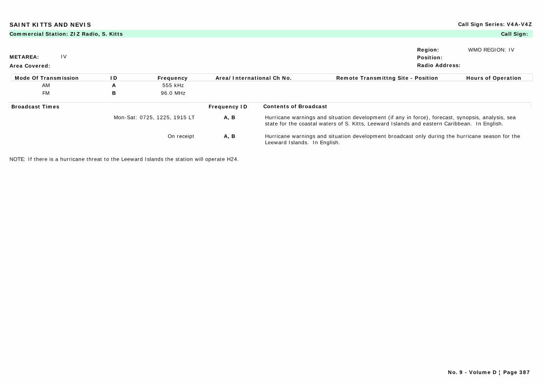
SAINT KITTS AND NEVIS Call Sign Series: V4A-V4Z
METAREA: IV
Area Covered:
Region: WMO REGION: IVPosition:Radio Address:
Commercial Station: ZIZ Radio, S. Kitts Call Sign:
Mode Of Transmission ID Frequency Area/International Ch No. Remote Transmittng Site - Position Hours of OperationAM A 555 kHzFM B 96.0 MHz
Broadcast Times Frequency ID Contents of Broadcast
Mon-Sat: 0725, 1225, 1915 LT A, B Hurricane warnings and situation development (if any in force), forecast, synopsis, analysis, sea state for the coastal waters of S. Kitts, Leeward Islands and eastern Caribbean. In English.
On receipt A, B Hurricane warnings and situation development broadcast only during the hurricane season for the Leeward Islands. In English.
NOTE: If there is a hurricane threat to the Leeward Islands the station will operate H24.
No. 9 - Volume D ¦ Page 387
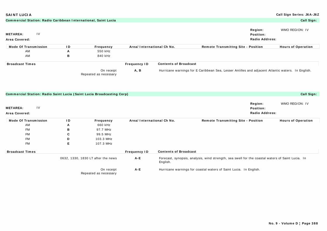
SAINT LUCIA Call Sign Series: J6A-J6Z
METAREA: IV
Area Covered:
Region: WMO REGION: IVPosition:Radio Address:
Commercial Station: Radio Caribbean International, Saint Lucia Call Sign:
Mode Of Transmission ID Frequency Area/International Ch No. Remote Transmittng Site - Position Hours of OperationAM A 550 kHzAM B 840 kHz
Broadcast Times Frequency ID Contents of Broadcast
On receiptRepeated as necessary
A, B Hurricane warnings for E Caribbean Sea, Lesser Antilles and adjacent Atlantic waters. In English.
METAREA: IV
Area Covered:
Region: WMO REGION: IVPosition:Radio Address:
Commercial Station: Radio Saint Lucia (Saint Lucia Broadcasting Corp) Call Sign:
Mode Of Transmission ID Frequency Area/International Ch No. Remote Transmittng Site - Position Hours of OperationAM A 660 kHzFM B 97.7 MHzFM C 99.5 MHzFM D 103.3 MHzFM E 107.3 MHz
Broadcast Times Frequency ID Contents of Broadcast
0632, 1330, 1830 LT after the news A-E Forecast, synopsis, analysis, wind strength, sea swell for the coastal waters of Saint Lucia. In English.
On receiptRepeated as necessary
A-E Hurricane warnings for coastal waters of Saint Lucia. In English.
No. 9 - Volume D ¦ Page 388
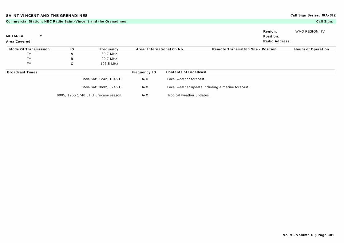
SAINT VINCENT AND THE GRENADINES Call Sign Series: J8A-J8Z
METAREA: IV
Area Covered:
Region: WMO REGION: IVPosition:Radio Address:
Commercial Station: NBC Radio Saint-Vincent and the Grenadines Call Sign:
Mode Of Transmission ID Frequency Area/International Ch No. Remote Transmittng Site - Position Hours of OperationFM A 89.7 MHzFM B 90.7 MHzFM C 107.5 MHz
Broadcast Times Frequency ID Contents of Broadcast
Mon-Sat: 1242, 1845 LT A-C Local weather forecast.
Mon-Sat: 0632, 0745 LT A-C Local weather update including a marine forecast.
0905, 1255 1740 LT (Hurricane season) A-C Tropical weather updates.
No. 9 - Volume D ¦ Page 389
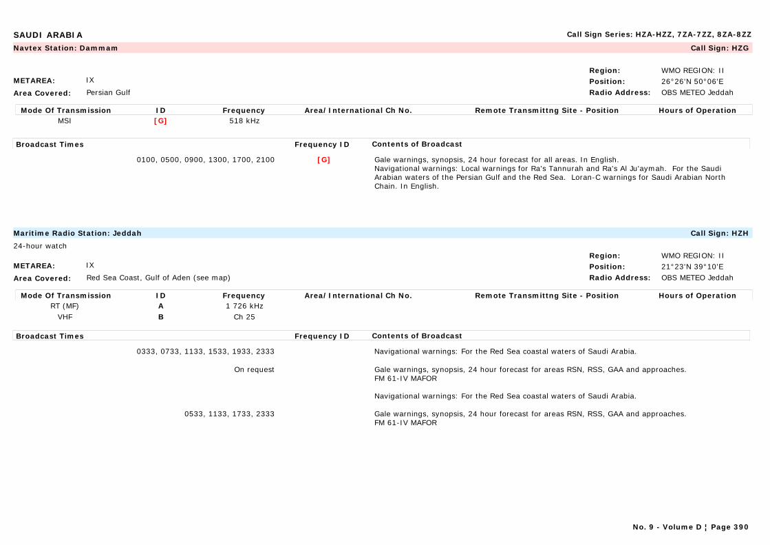
SAUDI ARABIA Call Sign Series: HZA-HZZ, 7ZA-7ZZ, 8ZA-8ZZ
METAREA: IX
Area Covered: Persian Gulf
Region: WMO REGION: IIPosition: 26°26'N 50°06'ERadio Address: OBS METEO Jeddah
Navtex Station: Dammam Call Sign: HZG
Mode Of Transmission ID Frequency Area/International Ch No. Remote Transmittng Site - Position Hours of OperationMSI [G] 518 kHz
Broadcast Times Frequency ID Contents of Broadcast
0100, 0500, 0900, 1300, 1700, 2100 [G] Gale warnings, synopsis, 24 hour forecast for all areas. In English.Navigational warnings: Local warnings for Ra's Tannurah and Ra's Al Ju'aymah. For the Saudi Arabian waters of the Persian Gulf and the Red Sea. Loran-C warnings for Saudi Arabian North Chain. In English.
METAREA: IX
Area Covered: Red Sea Coast, Gulf of Aden (see map)
Region: WMO REGION: IIPosition: 21°23'N 39°10'ERadio Address: OBS METEO Jeddah
Maritime Radio Station: Jeddah Call Sign: HZH
24-hour watch
Mode Of Transmission ID Frequency Area/International Ch No. Remote Transmittng Site - Position Hours of OperationRT (MF) A 1 726 kHz
VHF B Ch 25
Broadcast Times Frequency ID Contents of Broadcast
0333, 0733, 1133, 1533, 1933, 2333 Navigational warnings: For the Red Sea coastal waters of Saudi Arabia.
On request Gale warnings, synopsis, 24 hour forecast for areas RSN, RSS, GAA and approaches.FM 61-IV MAFOR
Navigational warnings: For the Red Sea coastal waters of Saudi Arabia.
0533, 1133, 1733, 2333 Gale warnings, synopsis, 24 hour forecast for areas RSN, RSS, GAA and approaches.FM 61-IV MAFOR
No. 9 - Volume D ¦ Page 390
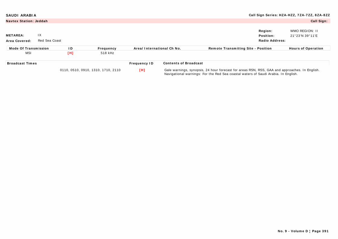
SAUDI ARABIA Call Sign Series: HZA-HZZ, 7ZA-7ZZ, 8ZA-8ZZ
METAREA: IX
Area Covered: Red Sea Coast
Region: WMO REGION: IIPosition: 21°23'N 39°11'ERadio Address:
Navtex Station: Jeddah Call Sign:
Mode Of Transmission ID Frequency Area/International Ch No. Remote Transmittng Site - Position Hours of OperationMSI [H] 518 kHz
Broadcast Times Frequency ID Contents of Broadcast
0110, 0510, 0910, 1310, 1710, 2110 [H] Gale warnings, synopsis, 24 hour forecast for areas RSN, RSS, GAA and approaches. In English.Navigational warnings: For the Red Sea coastal waters of Saudi Arabia. In English.
No. 9 - Volume D ¦ Page 391

SEYCHELLES Call Sign Series: S7A-S7Z
METAREA: VIII(S)
Area Covered:
Region: WMO REGION: IPosition: 34°37'S 55°26'ERadio Address:
Maritime Radio Station: Seychelles Call Sign:
Mode Of Transmission ID Frequency Area/International Ch No. Remote Transmittng Site - Position Hours of OperationRT (HF) A 8 770 kHz (818)
Broadcast Times Frequency ID Contents of Broadcast
0518, 1548 A For Area within 200 n miles of Seychelles. In English.
No. 9 - Volume D ¦ Page 392
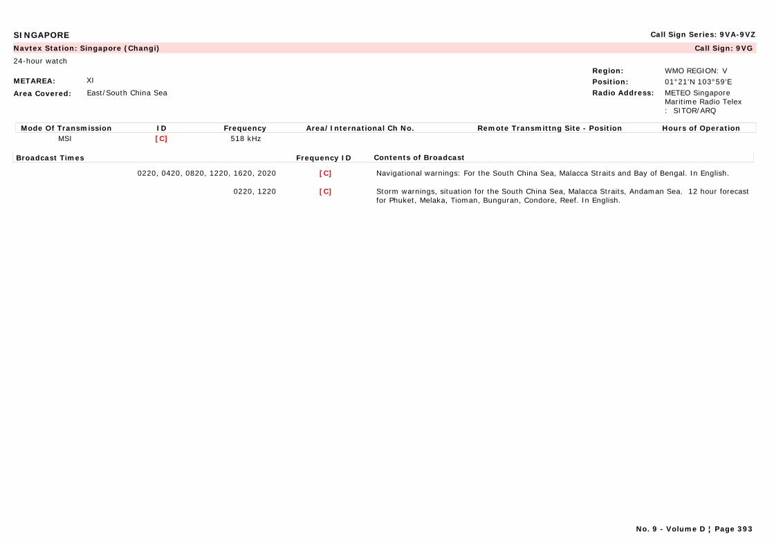
SINGAPORE Call Sign Series: 9VA-9VZ
METAREA: XI
Area Covered: East/South China Sea
Region: WMO REGION: VPosition: 01°21'N 103°59'ERadio Address: METEO Singapore
Maritime Radio Telex : SITOR/ARQ
Navtex Station: Singapore (Changi) Call Sign: 9VG
24-hour watch
Mode Of Transmission ID Frequency Area/International Ch No. Remote Transmittng Site - Position Hours of OperationMSI [C] 518 kHz
Broadcast Times Frequency ID Contents of Broadcast
0220, 0420, 0820, 1220, 1620, 2020 [C] Navigational warnings: For the South China Sea, Malacca Straits and Bay of Bengal. In English.
0220, 1220 [C] Storm warnings, situation for the South China Sea, Malacca Straits, Andaman Sea. 12 hour forecast for Phuket, Melaka, Tioman, Bunguran, Condore, Reef. In English.
No. 9 - Volume D ¦ Page 393

SOLOMON ISLANDS Call Sign Series: H4A-H4Z
METAREA: X
Area Covered:
Region: WMO REGION: VPosition: 09°26'S 160°04'ERadio Address:
Maritime Radio Station: Honiara Call Sign:
Mode Of Transmission ID Frequency Area/International Ch No. Remote Transmittng Site - Position Hours of OperationRT (HF) A 6 215 kHz
Broadcast Times Frequency ID Contents of Broadcast
On receipt/On Request: Nov-April A Cyclone reports.
No. 9 - Volume D ¦ Page 394
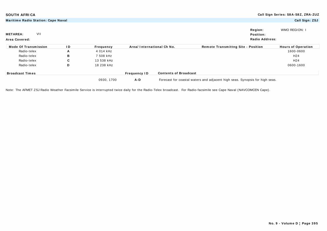
SOUTH AFRICA Call Sign Series: S8A-S8Z, ZRA-ZUZ
METAREA: VII
Area Covered:
Region: WMO REGION: IPosition:Radio Address:
Maritime Radio Station: Cape Naval Call Sign: ZSJ
Mode Of Transmission ID Frequency Area/International Ch No. Remote Transmittng Site - Position Hours of OperationRadio-telex A 4 014 kHz 1600-0600Radio-telex B 7 508 kHz H24Radio-telex C 13 538 kHz H24Radio-telex D 18 238 kHz 0600-1600
Broadcast Times Frequency ID Contents of Broadcast
0930, 1700 A-D Forecast for coastal waters and adjacent high seas. Synopsis for high seas.
Note: The AFMET ZSJ Radio Weather Facsimile Service is interrupted twice daily for the Radio-Telex broadcast. For Radio-facsimile see Cape Naval (NAVCOMCEN Cape).
No. 9 - Volume D ¦ Page 395
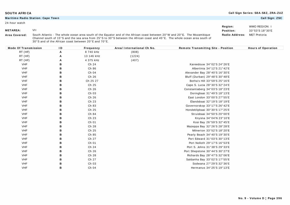
SOUTH AFRICA Call Sign Series: S8A-S8Z, ZRA-ZUZ
METAREA: VII
Area Covered: South Atlantic - The whole ocean area south of the Equator and of the African coast between 20°W and 20°E. The Mozambique Channel south of 15°S and the sea area from 25°S to 30°S between the African coast and 45°E. The whole ocean area south of 30°S and of the African coast between 20°E and 70°E.
Region: WMO REGION: IPosition: 33°53'S 18°30'ERadio Address: MET Pretoria
Maritime Radio Station: Cape Town Call Sign: ZSC
24-hour watch
Mode Of Transmission ID Frequency Area/International Ch No. Remote Transmittng Site - Position Hours of OperationRT (HF) A 8 740 kHz (808)RT (HF) A 13 146 kHz (1224)RT (HF) A 4 375 kHz (407)
VHF B Ch 24 Kareedouw 34°02'S 24°26'EVHF B Ch 86 Albertinia 34°12'S 21°42'EVHF B Ch 04 Alexander Bay 28°40'S 16°30'EVHF B Ch 26 Bluff (Durban) 29°48'S 30°48'EVHF B Ch 25 27 Botha's Hill 33°59'S 25°16'EVHF B Ch 25 Cape S. Lucia 28°30'S 32°24'EVHF B Ch 26 Constantiaberg 34°03'S 18°23'EVHF B Ch 03 Doringbaai 31°49'S 18°13'EVHF B Ch 26 East London 33°00'S 27°55'EVHF B Ch 23 Elandsbaai 32°19'S 18°19'EVHF B Ch 83 Governorskop 33°17'S 26°42'EVHF B Ch 25 Hondeklipbaai 30°30'S 17°25'EVHF B Ch 84 Struisbaai 34°50'S 20°00'EVHF B Ch 23 Knysna 34°04'N 23°10'EVHF B Ch 01 Kosi Bay 26°59'S 32°45'EVHF B Ch 28 Mazeppa Bay 32°26'S 28°28'EVHF B Ch 25 Milnerton 33°52'S 18°20'EVHF B Ch 85 Pearly Beach 34°40'S 19°30'EVHF B Ch 27 Port Edward 31°03'S 30°13'EVHF B Ch 01 Port Nolloth 29°17'S 16°53'EVHF B Ch 24 Port S. Johns 31°38'S 29°33'EVHF B Ch 26 Port Shepstone 30°44'S 30°27'EVHF B Ch 28 Richards Bay 28°47'S 32°06'EVHF B Ch 27 Saldanha Bay 33°02'S 17°55'EVHF B Ch 03 Sodwana 27°29'S 32°36'EVHF B Ch 04 Hermanus 34°25'S 19°13'E
No. 9 - Volume D ¦ Page 396
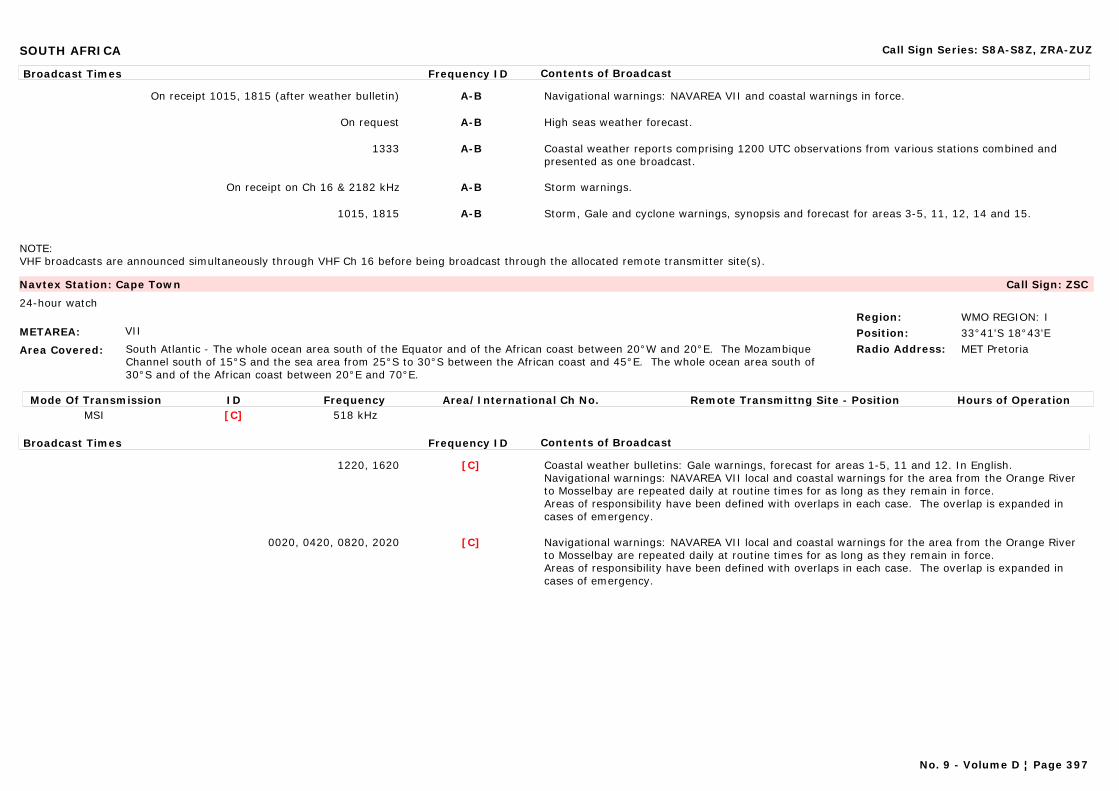
SOUTH AFRICA Call Sign Series: S8A-S8Z, ZRA-ZUZ
Broadcast Times Frequency ID Contents of Broadcast
On receipt 1015, 1815 (after weather bulletin) A-B Navigational warnings: NAVAREA VII and coastal warnings in force.
On request A-B High seas weather forecast.
1333 A-B Coastal weather reports comprising 1200 UTC observations from various stations combined and presented as one broadcast.
On receipt on Ch 16 & 2182 kHz A-B Storm warnings.
1015, 1815 A-B Storm, Gale and cyclone warnings, synopsis and forecast for areas 3-5, 11, 12, 14 and 15.
NOTE:VHF broadcasts are announced simultaneously through VHF Ch 16 before being broadcast through the allocated remote transmitter site(s).
METAREA: VII
Area Covered: South Atlantic - The whole ocean area south of the Equator and of the African coast between 20°W and 20°E. The Mozambique Channel south of 15°S and the sea area from 25°S to 30°S between the African coast and 45°E. The whole ocean area south of 30°S and of the African coast between 20°E and 70°E.
Region: WMO REGION: IPosition: 33°41'S 18°43'ERadio Address: MET Pretoria
Navtex Station: Cape Town Call Sign: ZSC
24-hour watch
Mode Of Transmission ID Frequency Area/International Ch No. Remote Transmittng Site - Position Hours of OperationMSI [C] 518 kHz
Broadcast Times Frequency ID Contents of Broadcast
1220, 1620 [C] Coastal weather bulletins: Gale warnings, forecast for areas 1-5, 11 and 12. In English.Navigational warnings: NAVAREA VII local and coastal warnings for the area from the Orange River to Mosselbay are repeated daily at routine times for as long as they remain in force.Areas of responsibility have been defined with overlaps in each case. The overlap is expanded in cases of emergency.
0020, 0420, 0820, 2020 [C] Navigational warnings: NAVAREA VII local and coastal warnings for the area from the Orange River to Mosselbay are repeated daily at routine times for as long as they remain in force.Areas of responsibility have been defined with overlaps in each case. The overlap is expanded in cases of emergency.
No. 9 - Volume D ¦ Page 397
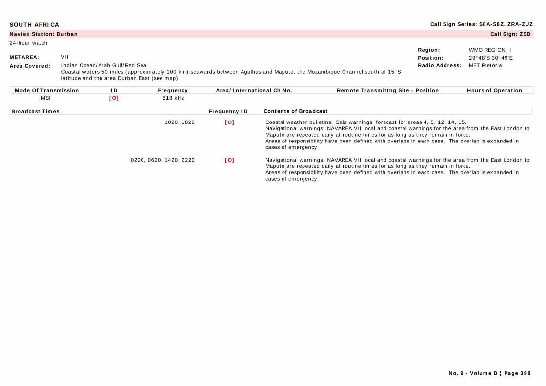
SOUTH AFRICA Call Sign Series: S8A-S8Z, ZRA-ZUZ
METAREA: VII
Area Covered: Indian Ocean/Arab.Gulf/Red SeaCoastal waters 50 miles (approximately 100 km) seawards between Agulhas and Maputo, the Mozambique Channel south of 15°S latitude and the area Durban East (see map)
Region: WMO REGION: IPosition: 29°48'S 30°49'ERadio Address: MET Pretoria
Navtex Station: Durban Call Sign: ZSD
24-hour watch
Mode Of Transmission ID Frequency Area/International Ch No. Remote Transmittng Site - Position Hours of OperationMSI [O] 518 kHz
Broadcast Times Frequency ID Contents of Broadcast
1020, 1820 [O] Coastal weather bulletins: Gale warnings, forecast for areas 4, 5, 12, 14, 15. Navigational warnings: NAVAREA VII local and coastal warnings for the area from the East London to Maputo are repeated daily at routine times for as long as they remain in force.Areas of responsibility have been defined with overlaps in each case. The overlap is expanded in cases of emergency.
0220, 0620, 1420, 2220 [O] Navigational warnings: NAVAREA VII local and coastal warnings for the area from the East London to Maputo are repeated daily at routine times for as long as they remain in force.Areas of responsibility have been defined with overlaps in each case. The overlap is expanded in cases of emergency.
No. 9 - Volume D ¦ Page 398
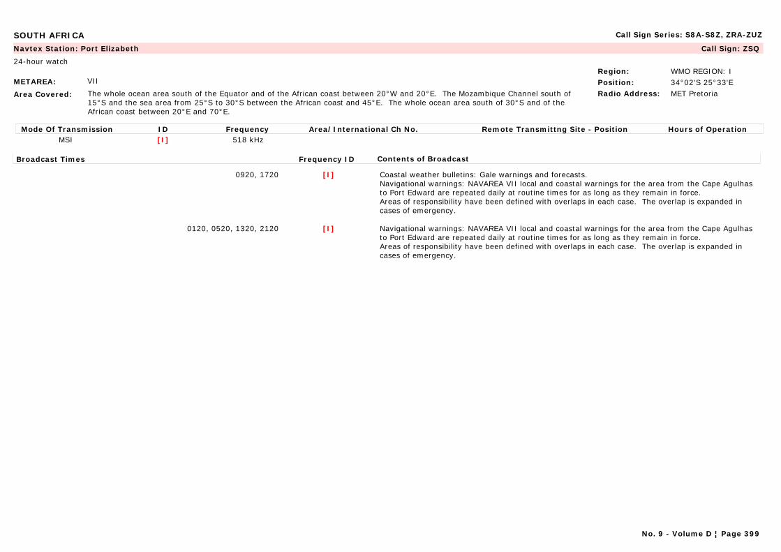
SOUTH AFRICA Call Sign Series: S8A-S8Z, ZRA-ZUZ
METAREA: VII
Area Covered: The whole ocean area south of the Equator and of the African coast between 20°W and 20°E. The Mozambique Channel south of 15°S and the sea area from 25°S to 30°S between the African coast and 45°E. The whole ocean area south of 30°S and of the African coast between 20°E and 70°E.
Region: WMO REGION: IPosition: 34°02'S 25°33'ERadio Address: MET Pretoria
Navtex Station: Port Elizabeth Call Sign: ZSQ
24-hour watch
Mode Of Transmission ID Frequency Area/International Ch No. Remote Transmittng Site - Position Hours of OperationMSI [I] 518 kHz
Broadcast Times Frequency ID Contents of Broadcast
0920, 1720 [I] Coastal weather bulletins: Gale warnings and forecasts.Navigational warnings: NAVAREA VII local and coastal warnings for the area from the Cape Agulhas to Port Edward are repeated daily at routine times for as long as they remain in force.Areas of responsibility have been defined with overlaps in each case. The overlap is expanded in cases of emergency.
0120, 0520, 1320, 2120 [I] Navigational warnings: NAVAREA VII local and coastal warnings for the area from the Cape Agulhas to Port Edward are repeated daily at routine times for as long as they remain in force.Areas of responsibility have been defined with overlaps in each case. The overlap is expanded in cases of emergency.
No. 9 - Volume D ¦ Page 399

SPAIN Call Sign Series: EAA-EHZ
METAREA: II
Area Covered: Mediterranean Coast
Region: WMO REGION: VIPosition: 36°07'N 05°26'WRadio Address:
Marine Rescue Co-ordination Centre: Algeciras (MRSC) Call Sign:
Mode Of Transmission ID Frequency Area/International Ch No. Remote Transmittng Site - Position Hours of OperationVHF A Ch 74
Broadcast Times Frequency ID Contents of Broadcast
On request A In Spanish and English.
0315, 0515, 0715, 1115, 1515, 1915, 2315 A Weather bulletins. In Spanish and English.
METAREA: III
Area Covered: Mediterranean Coast
Region: WMO REGION: VIPosition:Radio Address:
Marine Rescue Co-ordination Centre: Almería (MRCC) Call Sign:
Mode Of Transmission ID Frequency Area/International Ch No. Remote Transmittng Site - Position Hours of OperationVHF A Ch 74 36°50'N 2°29'WVHF B Ch 74 36°43'N 2°12'W
Broadcast Times Frequency ID Contents of Broadcast
Every odd H+15 A In Spanish and English.
Every odd H+15 A Gale warnings, synopsis and forecast for areas Alborán and Palos. In Spanish and English.
Every odd H+15 A, B Gale warnings, synopsis and forecast for coasta of Murcia, Almeria, Granada, Melilla and Isla de Alborán.In Spanish and English.
No. 9 - Volume D ¦ Page 400
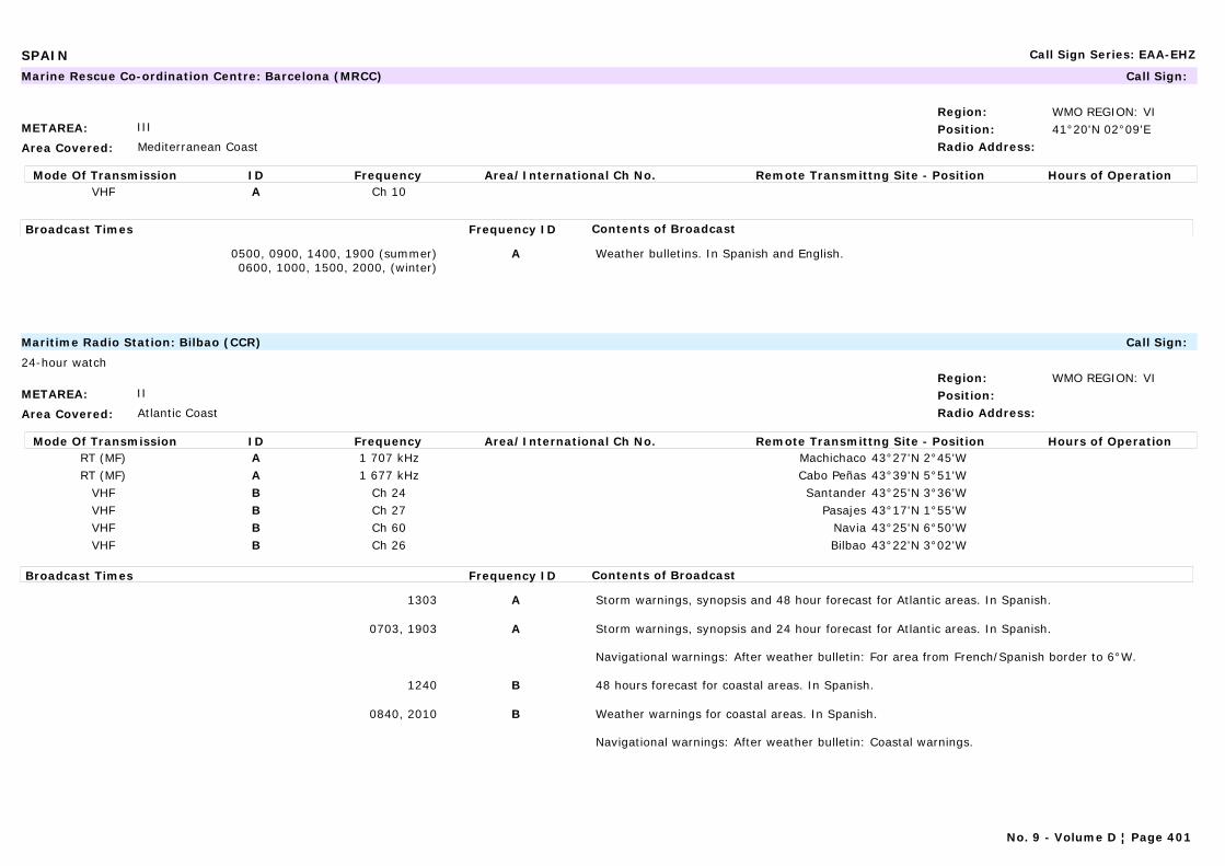
SPAIN Call Sign Series: EAA-EHZ
METAREA: III
Area Covered: Mediterranean Coast
Region: WMO REGION: VIPosition: 41°20'N 02°09'ERadio Address:
Marine Rescue Co-ordination Centre: Barcelona (MRCC) Call Sign:
Mode Of Transmission ID Frequency Area/International Ch No. Remote Transmittng Site - Position Hours of OperationVHF A Ch 10
Broadcast Times Frequency ID Contents of Broadcast
0500, 0900, 1400, 1900 (summer)0600, 1000, 1500, 2000, (winter)
A Weather bulletins. In Spanish and English.
METAREA: II
Area Covered: Atlantic Coast
Region: WMO REGION: VIPosition:Radio Address:
Maritime Radio Station: Bilbao (CCR) Call Sign:
24-hour watch
Mode Of Transmission ID Frequency Area/International Ch No. Remote Transmittng Site - Position Hours of OperationRT (MF) A 1 707 kHz Machichaco 43°27'N 2°45'WRT (MF) A 1 677 kHz Cabo Peñas 43°39'N 5°51'W
VHF B Ch 24 Santander 43°25'N 3°36'WVHF B Ch 27 Pasajes 43°17'N 1°55'WVHF B Ch 60 Navia 43°25'N 6°50'WVHF B Ch 26 Bilbao 43°22'N 3°02'W
Broadcast Times Frequency ID Contents of Broadcast
1303 A Storm warnings, synopsis and 48 hour forecast for Atlantic areas. In Spanish.
0703, 1903 A Storm warnings, synopsis and 24 hour forecast for Atlantic areas. In Spanish.
Navigational warnings: After weather bulletin: For area from French/Spanish border to 6°W.
1240 B 48 hours forecast for coastal areas. In Spanish.
0840, 2010 B Weather warnings for coastal areas. In Spanish.
Navigational warnings: After weather bulletin: Coastal warnings.
No. 9 - Volume D ¦ Page 401
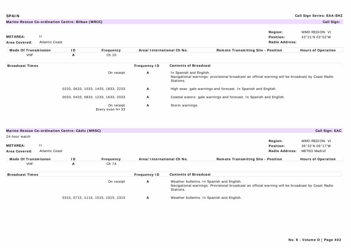
SPAIN Call Sign Series: EAA-EHZ
METAREA: II
Area Covered: Atlantic Coast
Region: WMO REGION: VIPosition: 43°21'N 03°02'WRadio Address:
Marine Rescue Co-ordination Centre: Bilbao (MRCC) Call Sign:
Mode Of Transmission ID Frequency Area/International Ch No. Remote Transmittng Site - Position Hours of OperationVHF A Ch 10
Broadcast Times Frequency ID Contents of Broadcast
On receipt A In Spanish and English.Navigational warnings: provisional broadcast an official warning will be broadcast by Coast Radio Stations.
0233, 0633, 1033, 1433, 1833, 2233 A High seas: gale warnings and forecast. In Spanish and English.
0033, 0433, 0833, 1233, 1633, 2033 A Coastal waters: gale warnings and forecast. In Spanish and English.
On receiptEvery even H+33
A Storm warnings.
METAREA: II
Area Covered: Atlantic Coast
Region: WMO REGION: VIPosition: 36°32'N 06°17'WRadio Address: METEO Madrid
Marine Rescue Co-ordination Centre: Cádiz (MRSC) Call Sign: EAC
24-hour watch
Mode Of Transmission ID Frequency Area/International Ch No. Remote Transmittng Site - Position Hours of OperationVHF A Ch 74
Broadcast Times Frequency ID Contents of Broadcast
On receipt A Weather bulletins. In Spanish and English.Navigational warnings: Provisional broadcast an official warning will be broadcast by Coast Radio Stations.
0315, 0715, 1115, 1515, 1915, 2315 A Weather bulletins. In Spanish and English.
No. 9 - Volume D ¦ Page 402
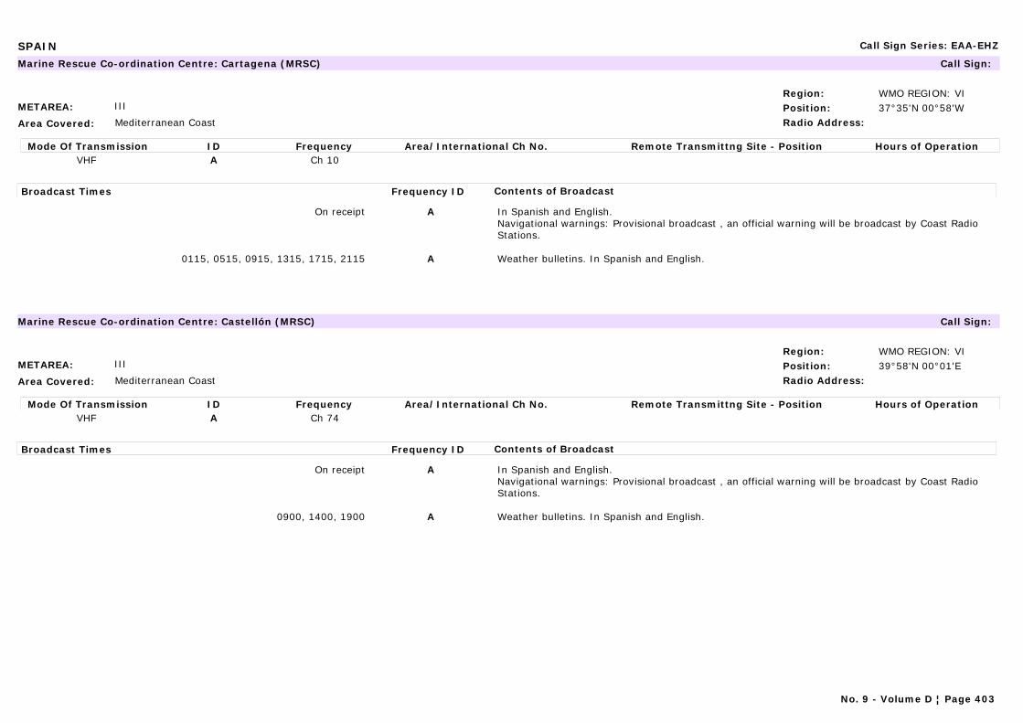
SPAIN Call Sign Series: EAA-EHZ
METAREA: III
Area Covered: Mediterranean Coast
Region: WMO REGION: VIPosition: 37°35'N 00°58'WRadio Address:
Marine Rescue Co-ordination Centre: Cartagena (MRSC) Call Sign:
Mode Of Transmission ID Frequency Area/International Ch No. Remote Transmittng Site - Position Hours of OperationVHF A Ch 10
Broadcast Times Frequency ID Contents of Broadcast
On receipt A In Spanish and English.Navigational warnings: Provisional broadcast , an official warning will be broadcast by Coast Radio Stations.
0115, 0515, 0915, 1315, 1715, 2115 A Weather bulletins. In Spanish and English.
METAREA: III
Area Covered: Mediterranean Coast
Region: WMO REGION: VIPosition: 39°58'N 00°01'ERadio Address:
Marine Rescue Co-ordination Centre: Castellón (MRSC) Call Sign:
Mode Of Transmission ID Frequency Area/International Ch No. Remote Transmittng Site - Position Hours of OperationVHF A Ch 74
Broadcast Times Frequency ID Contents of Broadcast
On receipt A In Spanish and English.Navigational warnings: Provisional broadcast , an official warning will be broadcast by Coast Radio Stations.
0900, 1400, 1900 A Weather bulletins. In Spanish and English.
No. 9 - Volume D ¦ Page 403
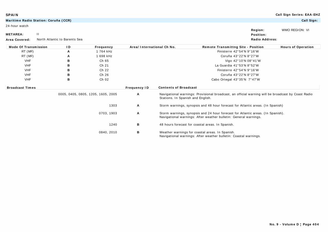
SPAIN Call Sign Series: EAA-EHZ
METAREA: II
Area Covered: North Atlantic to Barents Sea
Region: WMO REGION: VIPosition:Radio Address:
Maritime Radio Station: Coruña (CCR) Call Sign:
24-hour watch
Mode Of Transmission ID Frequency Area/International Ch No. Remote Transmittng Site - Position Hours of OperationRT (MF) A 1 764 kHz Finisterre 42°54'N 9°16'WRT (MF) A 1 698 kHz Coruña 43°22'N 8°27'W
VHF B Ch 65 Vigo 42°10'N 08°41'WVHF B Ch 21 La Guardia 41°53'N 8°52'WVHF B Ch 22 Finisterre 42°54'N 9°16'WVHF B Ch 26 Coruña 43°22'N 8°27'WVHF B Ch 02 Cabo Ortegal 43°35'N 7°47'W
Broadcast Times Frequency ID Contents of Broadcast
0005, 0405, 0805, 1205, 1605, 2005 A Navigational warnings: Provisional broadcast, an official warning will be broadcast by Coast Radio Stations. In Spanish and English.
1303 A Storm warnings, synopsis and 48 hour forecast for Atlantic areas. (In Spanish)
0703, 1903 A Storm warnings, synopsis and 24 hour forecast for Atlantic areas. (In Spanish).Navigational warnings: After weather bulletin: General warnings.
1240 B 48 hours forecast for coastal areas. In Spanish.
0840, 2010 B Weather warnings for coastal areas. In Spanish.Navigational warnings: After weather bulletin: Coastal warnings.
No. 9 - Volume D ¦ Page 404
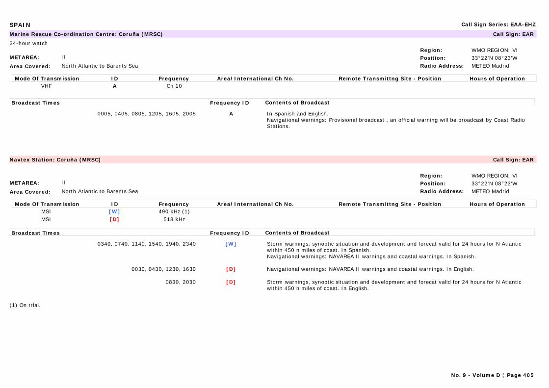
SPAIN Call Sign Series: EAA-EHZ
METAREA: II
Area Covered: North Atlantic to Barents Sea
Region: WMO REGION: VIPosition: 33°22'N 08°23'WRadio Address: METEO Madrid
Marine Rescue Co-ordination Centre: Coruña (MRSC) Call Sign: EAR
24-hour watch
Mode Of Transmission ID Frequency Area/International Ch No. Remote Transmittng Site - Position Hours of OperationVHF A Ch 10
Broadcast Times Frequency ID Contents of Broadcast
0005, 0405, 0805, 1205, 1605, 2005 A In Spanish and English.Navigational warnings: Provisional broadcast , an official warning will be broadcast by Coast Radio Stations.
METAREA: II
Area Covered: North Atlantic to Barents Sea
Region: WMO REGION: VIPosition: 33°22'N 08°23'WRadio Address: METEO Madrid
Navtex Station: Coruña (MRSC) Call Sign: EAR
Mode Of Transmission ID Frequency Area/International Ch No. Remote Transmittng Site - Position Hours of OperationMSI [W] 490 kHz (1)MSI [D] 518 kHz
Broadcast Times Frequency ID Contents of Broadcast
0340, 0740, 1140, 1540, 1940, 2340 [W] Storm warnings, synoptic situation and development and forecat valid for 24 hours for N Atlantic within 450 n miles of coast. In Spanish.Navigational warnings: NAVAREA II warnings and coastal warnings. In Spanish.
0030, 0430, 1230, 1630 [D] Navigational warnings: NAVAREA II warnings and coastal warnings. In English.
0830, 2030 [D] Storm warnings, synoptic situation and development and forecat valid for 24 hours for N Atlantic within 450 n miles of coast. In English.
(1) On trial.
No. 9 - Volume D ¦ Page 405

SPAIN Call Sign Series: EAA-EHZ
METAREA: II
Area Covered: Atlantic Coast
Region: WMO REGION: VIPosition: 42°42'N 8°59'WRadio Address:
Marine Rescue Co-ordination Centre: Finisterre (MRCC) Call Sign:
Mode Of Transmission ID Frequency Area/International Ch No. Remote Transmittng Site - Position Hours of OperationVHF A Ch 11
Broadcast Times Frequency ID Contents of Broadcast
H+33 every 4 hours commencing 0033 A In Spanish and English.Navigational warnings: Provisional broadcast , an official warning will be broadcast by Coast Radio Stations.
H+33 every 4 hours commencing 0233 A Weather bulletins. In Spanish and English.
METAREA: II
Area Covered: Mediterranean Sea/Black Sea
Region: WMO REGION: VIPosition: 43°34'N 05°42'WRadio Address:
Marine Rescue Co-ordination Centre: Gijón (MRCC) Call Sign:
Mode Of Transmission ID Frequency Area/International Ch No. Remote Transmittng Site - Position Hours of OperationVHF A Ch 10
Broadcast Times Frequency ID Contents of Broadcast
Every H+15 A In Spanish and English.Navigational warnings: Provisional broadcast , an official warning will be broadcast by Coast Radio Stations.
Every even H+15 (0215-2215)
A Weather bulletins. In Spanish and English.
No. 9 - Volume D ¦ Page 406

SPAIN Call Sign Series: EAA-EHZ
METAREA: III
Area Covered: Mediterranean Sea/Black Sea
Region: WMO REGION: VIPosition: 37°15'N 05°56'WRadio Address:
Marine Rescue Co-ordination Centre: Huelva (MRSC) Call Sign:
Mode Of Transmission ID Frequency Area/International Ch No. Remote Transmittng Site - Position Hours of OperationVHF A Ch 10
Broadcast Times Frequency ID Contents of Broadcast
On receipt In Spanish and English.Navigational warnings: Provisional broadcast , an official warning will be broadcast by Coast Radio Stations.
0415, 0815, 1215, 1615, 2015 Weather bulletins. In Spanish and English.
No. 9 - Volume D ¦ Page 407
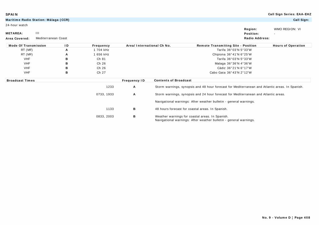
SPAIN Call Sign Series: EAA-EHZ
METAREA: III
Area Covered: Mediterranean Coast
Region: WMO REGION: VIPosition: -Radio Address:
Maritime Radio Station: Málaga (CCR) Call Sign:
24-hour watch
Mode Of Transmission ID Frequency Area/International Ch No. Remote Transmittng Site - Position Hours of OperationRT (MF) A 1 704 kHz Tarifa 36°03'N 5°33'WRT (MF) A 1 656 kHz Chipiona 36°41'N 6°25'W
VHF B Ch 81 Tarifa 36°03'N 5°33'WVHF B Ch 26 Malaga 36°36'N 4°36'WVHF B Ch 26 Cádiz 36°21'N 6°17'WVHF B Ch 27 Cabo Gata 36°43'N 2°12'W
Broadcast Times Frequency ID Contents of Broadcast
1233 A Storm warnings, synopsis and 48 hour forecast for Mediterranean and Atlantic areas. In Spanish.
0733, 1933 A Storm warnings, synopsis and 24 hour forecast for Mediterranean and Atlantic areas.
Navigational warnings: After weather bulletin - general warnings.
1133 B 48 hours forecast for coastal areas. In Spanish.
0833, 2003 B Weather warnings for coastal areas. In Spanish.Navigational warnings: After weather bulletin - general warnings.
No. 9 - Volume D ¦ Page 408
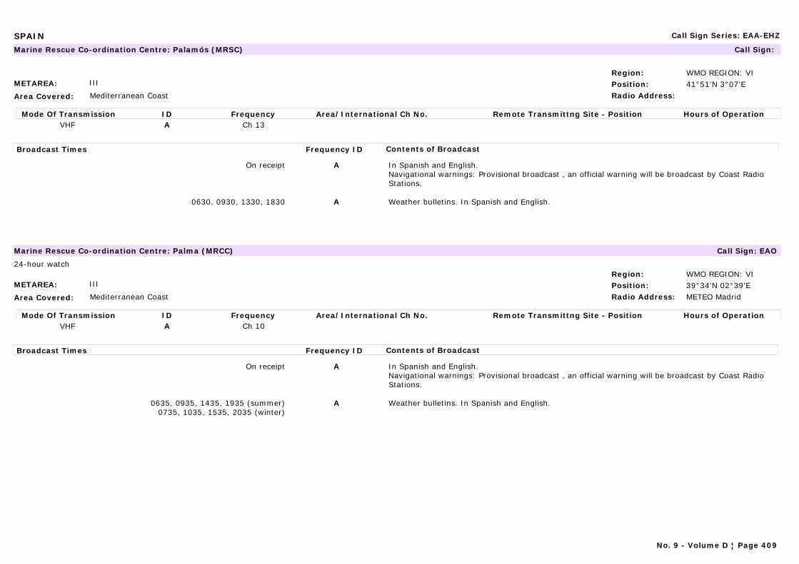
SPAIN Call Sign Series: EAA-EHZ
METAREA: III
Area Covered: Mediterranean Coast
Region: WMO REGION: VIPosition: 41°51'N 3°07'ERadio Address:
Marine Rescue Co-ordination Centre: Palamós (MRSC) Call Sign:
Mode Of Transmission ID Frequency Area/International Ch No. Remote Transmittng Site - Position Hours of OperationVHF A Ch 13
Broadcast Times Frequency ID Contents of Broadcast
On receipt A In Spanish and English.Navigational warnings: Provisional broadcast , an official warning will be broadcast by Coast Radio Stations.
0630, 0930, 1330, 1830 A Weather bulletins. In Spanish and English.
METAREA: III
Area Covered: Mediterranean Coast
Region: WMO REGION: VIPosition: 39°34'N 02°39'ERadio Address: METEO Madrid
Marine Rescue Co-ordination Centre: Palma (MRCC) Call Sign: EAO
24-hour watch
Mode Of Transmission ID Frequency Area/International Ch No. Remote Transmittng Site - Position Hours of OperationVHF A Ch 10
Broadcast Times Frequency ID Contents of Broadcast
On receipt A In Spanish and English.Navigational warnings: Provisional broadcast , an official warning will be broadcast by Coast Radio Stations.
0635, 0935, 1435, 1935 (summer)0735, 1035, 1535, 2035 (winter)
A Weather bulletins. In Spanish and English.
No. 9 - Volume D ¦ Page 409
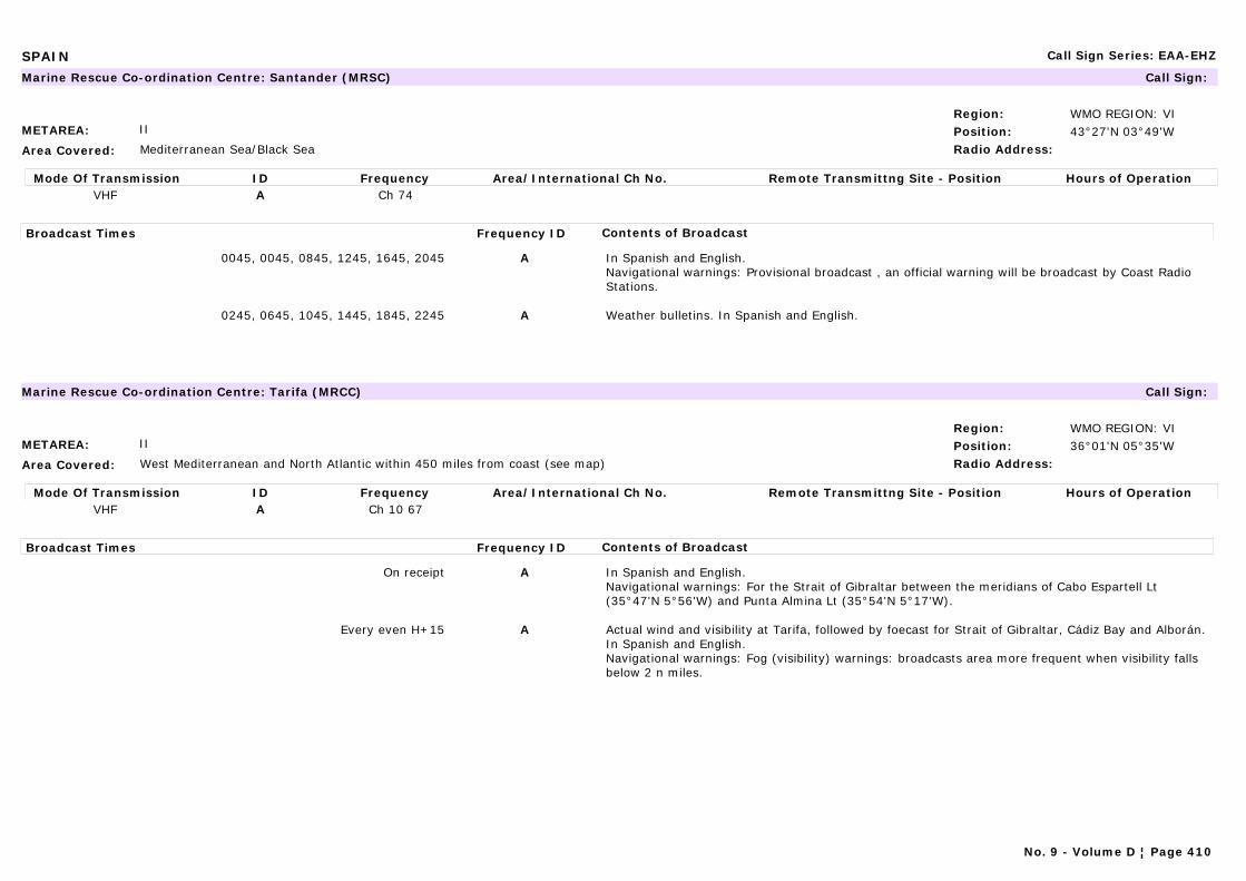
SPAIN Call Sign Series: EAA-EHZ
METAREA: II
Area Covered: Mediterranean Sea/Black Sea
Region: WMO REGION: VIPosition: 43°27'N 03°49'WRadio Address:
Marine Rescue Co-ordination Centre: Santander (MRSC) Call Sign:
Mode Of Transmission ID Frequency Area/International Ch No. Remote Transmittng Site - Position Hours of OperationVHF A Ch 74
Broadcast Times Frequency ID Contents of Broadcast
0045, 0045, 0845, 1245, 1645, 2045 A In Spanish and English.Navigational warnings: Provisional broadcast , an official warning will be broadcast by Coast Radio Stations.
0245, 0645, 1045, 1445, 1845, 2245 A Weather bulletins. In Spanish and English.
METAREA: II
Area Covered: West Mediterranean and North Atlantic within 450 miles from coast (see map)
Region: WMO REGION: VIPosition: 36°01'N 05°35'WRadio Address:
Marine Rescue Co-ordination Centre: Tarifa (MRCC) Call Sign:
Mode Of Transmission ID Frequency Area/International Ch No. Remote Transmittng Site - Position Hours of OperationVHF A Ch 10 67
Broadcast Times Frequency ID Contents of Broadcast
On receipt A In Spanish and English.Navigational warnings: For the Strait of Gibraltar between the meridians of Cabo Espartell Lt (35°47'N 5°56'W) and Punta Almina Lt (35°54'N 5°17'W).
Every even H+15 A Actual wind and visibility at Tarifa, followed by foecast for Strait of Gibraltar, Cádiz Bay and Alborán. In Spanish and English.Navigational warnings: Fog (visibility) warnings: broadcasts area more frequent when visibility falls below 2 n miles.
No. 9 - Volume D ¦ Page 410
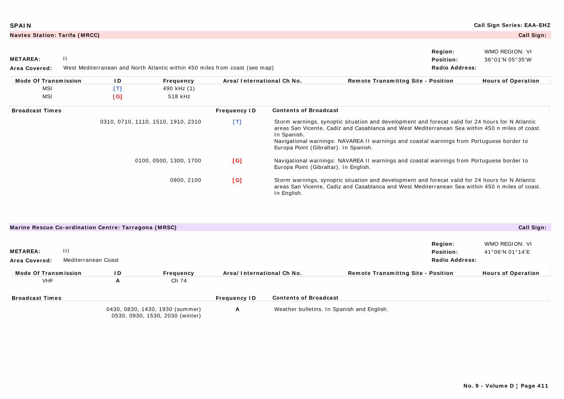
SPAIN Call Sign Series: EAA-EHZ
METAREA: II
Area Covered: West Mediterranean and North Atlantic within 450 miles from coast (see map)
Region: WMO REGION: VIPosition: 36°01'N 05°35'WRadio Address:
Navtex Station: Tarifa (MRCC) Call Sign:
Mode Of Transmission ID Frequency Area/International Ch No. Remote Transmittng Site - Position Hours of OperationMSI [T] 490 kHz (1)MSI [G] 518 kHz
Broadcast Times Frequency ID Contents of Broadcast
0310, 0710, 1110, 1510, 1910, 2310 [T] Storm warnings, synoptic situation and development and forecat valid for 24 hours for N Atlantic areas San Vicente, Cadiz and Casablanca and West Mediterranean Sea within 450 n miles of coast. In Spanish.Navigational warnings: NAVAREA II warnings and coastal warnings from Portuguese border to Europa Point (Gibraltar). In Spanish.
0100, 0500, 1300, 1700 [G] Navigational warnings: NAVAREA II warnings and coastal warnings from Portuguese border to Europa Point (Gibraltar). In English.
0900, 2100 [G] Storm warnings, synoptic situation and development and forecat valid for 24 hours for N Atlantic areas San Vicente, Cadiz and Casablanca and West Mediterranean Sea within 450 n miles of coast. In English.
METAREA: III
Area Covered: Mediterranean Coast
Region: WMO REGION: VIPosition: 41°06'N 01°14'ERadio Address:
Marine Rescue Co-ordination Centre: Tarragona (MRSC) Call Sign:
Mode Of Transmission ID Frequency Area/International Ch No. Remote Transmittng Site - Position Hours of OperationVHF A Ch 74
Broadcast Times Frequency ID Contents of Broadcast
0430, 0830, 1430, 1930 (summer)0530, 0930, 1530, 2030 (winter)
A Weather bulletins. In Spanish and English.
No. 9 - Volume D ¦ Page 411
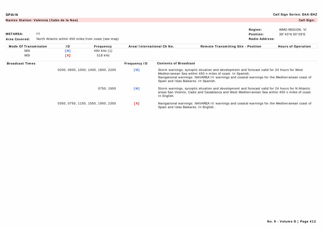
SPAIN Call Sign Series: EAA-EHZ
METAREA: III
Area Covered: North Atlantic within 450 miles from coast (see map)
Region: WMO REGION: VIPosition: 38°43'N 00°09'ERadio Address:
Navtex Station: Valencia (Cabo de la Nao) Call Sign:
Mode Of Transmission ID Frequency Area/International Ch No. Remote Transmittng Site - Position Hours of OperationMSI [M] 490 kHz (1)MSI [X] 518 kHz
Broadcast Times Frequency ID Contents of Broadcast
0200, 0600, 1000, 1400, 1800, 2200 [M] Storm warnings, synoptic situation and development and forecast valid for 24 hours for West Mediterranean Sea within 450 n miles of coast. In Spanish.Navigational warnings: NAVAREA III warnings and coastal warnings for the Mediterranean coast of Spain and Islas Baleares. In Spanish.
0750, 1950 [M] Storm warnings, synoptic situation and development and forecast valid for 24 hours for N Atlantic areas San Vicente, Cadiz and Casablanca and West Mediterranean Sea within 450 n miles of coast. In English.
0350, 0750, 1150, 1550, 1950, 2350 [X] Navigational warnings: NAVAREA III warnings and coastal warnings for the Mediterranean coast of Spain and Islas Baleares. In English.
No. 9 - Volume D ¦ Page 412
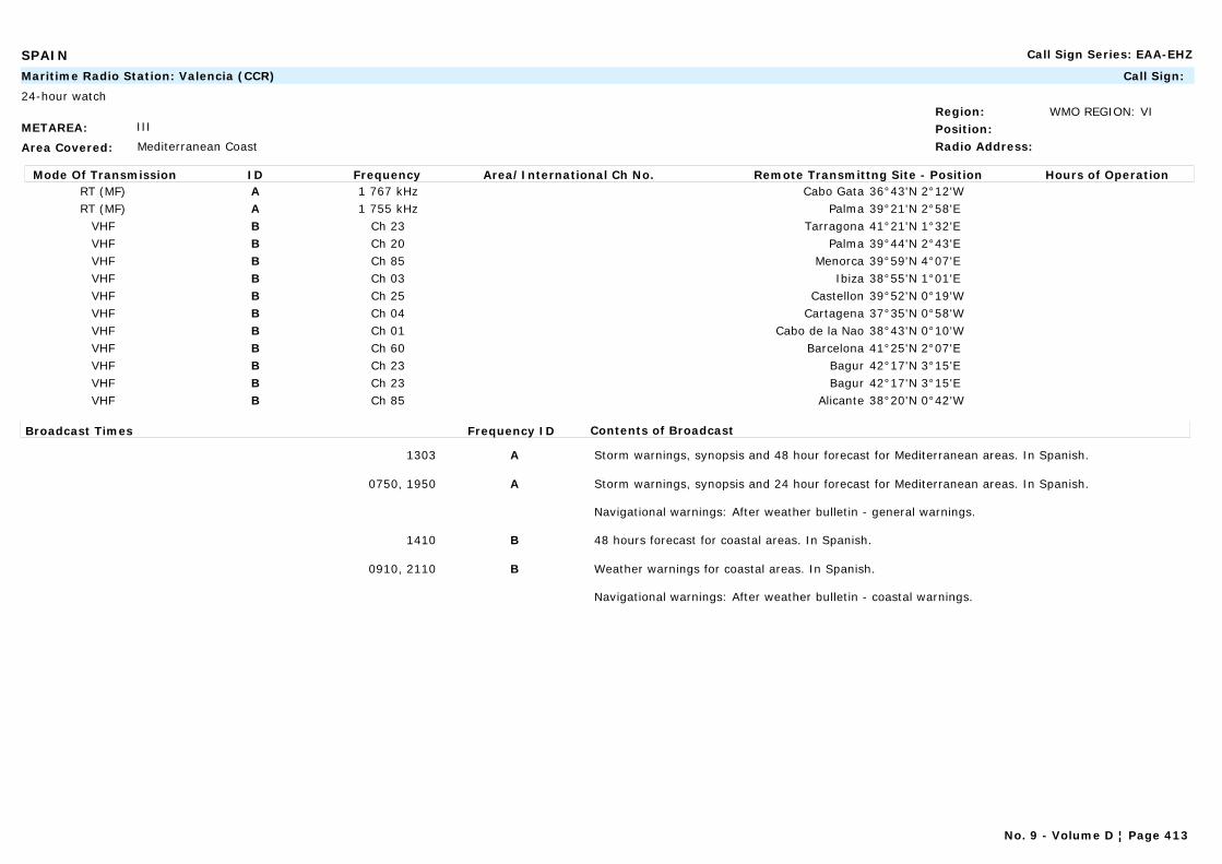
SPAIN Call Sign Series: EAA-EHZ
METAREA: III
Area Covered: Mediterranean Coast
Region: WMO REGION: VIPosition:Radio Address:
Maritime Radio Station: Valencia (CCR) Call Sign:
24-hour watch
Mode Of Transmission ID Frequency Area/International Ch No. Remote Transmittng Site - Position Hours of OperationRT (MF) A 1 767 kHz Cabo Gata 36°43'N 2°12'WRT (MF) A 1 755 kHz Palma 39°21'N 2°58'E
VHF B Ch 23 Tarragona 41°21'N 1°32'EVHF B Ch 20 Palma 39°44'N 2°43'EVHF B Ch 85 Menorca 39°59'N 4°07'EVHF B Ch 03 Ibiza 38°55'N 1°01'EVHF B Ch 25 Castellon 39°52'N 0°19'WVHF B Ch 04 Cartagena 37°35'N 0°58'WVHF B Ch 01 Cabo de la Nao 38°43'N 0°10'WVHF B Ch 60 Barcelona 41°25'N 2°07'EVHF B Ch 23 Bagur 42°17'N 3°15'EVHF B Ch 23 Bagur 42°17'N 3°15'EVHF B Ch 85 Alicante 38°20'N 0°42'W
Broadcast Times Frequency ID Contents of Broadcast
1303 A Storm warnings, synopsis and 48 hour forecast for Mediterranean areas. In Spanish.
0750, 1950 A Storm warnings, synopsis and 24 hour forecast for Mediterranean areas. In Spanish.
Navigational warnings: After weather bulletin - general warnings.
1410 B 48 hours forecast for coastal areas. In Spanish.
0910, 2110 B Weather warnings for coastal areas. In Spanish.
Navigational warnings: After weather bulletin - coastal warnings.
No. 9 - Volume D ¦ Page 413
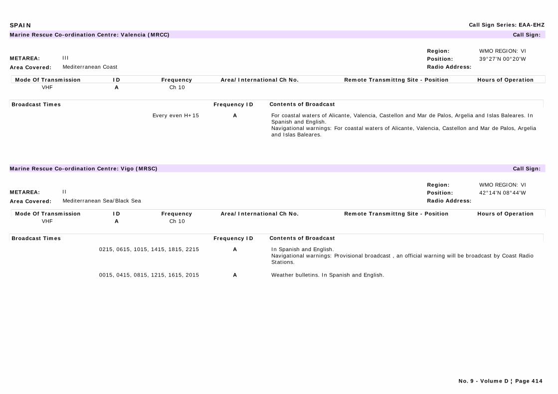
SPAIN Call Sign Series: EAA-EHZ
METAREA: III
Area Covered: Mediterranean Coast
Region: WMO REGION: VIPosition: 39°27'N 00°20'WRadio Address:
Marine Rescue Co-ordination Centre: Valencia (MRCC) Call Sign:
Mode Of Transmission ID Frequency Area/International Ch No. Remote Transmittng Site - Position Hours of OperationVHF A Ch 10
Broadcast Times Frequency ID Contents of Broadcast
Every even H+15 A For coastal waters of Alicante, Valencia, Castellon and Mar de Palos, Argelia and Islas Baleares. In Spanish and English.Navigational warnings: For coastal waters of Alicante, Valencia, Castellon and Mar de Palos, Argelia and Islas Baleares.
METAREA: II
Area Covered: Mediterranean Sea/Black Sea
Region: WMO REGION: VIPosition: 42°14'N 08°44'WRadio Address:
Marine Rescue Co-ordination Centre: Vigo (MRSC) Call Sign:
Mode Of Transmission ID Frequency Area/International Ch No. Remote Transmittng Site - Position Hours of OperationVHF A Ch 10
Broadcast Times Frequency ID Contents of Broadcast
0215, 0615, 1015, 1415, 1815, 2215 A In Spanish and English.Navigational warnings: Provisional broadcast , an official warning will be broadcast by Coast Radio Stations.
0015, 0415, 0815, 1215, 1615, 2015 A Weather bulletins. In Spanish and English.
No. 9 - Volume D ¦ Page 414
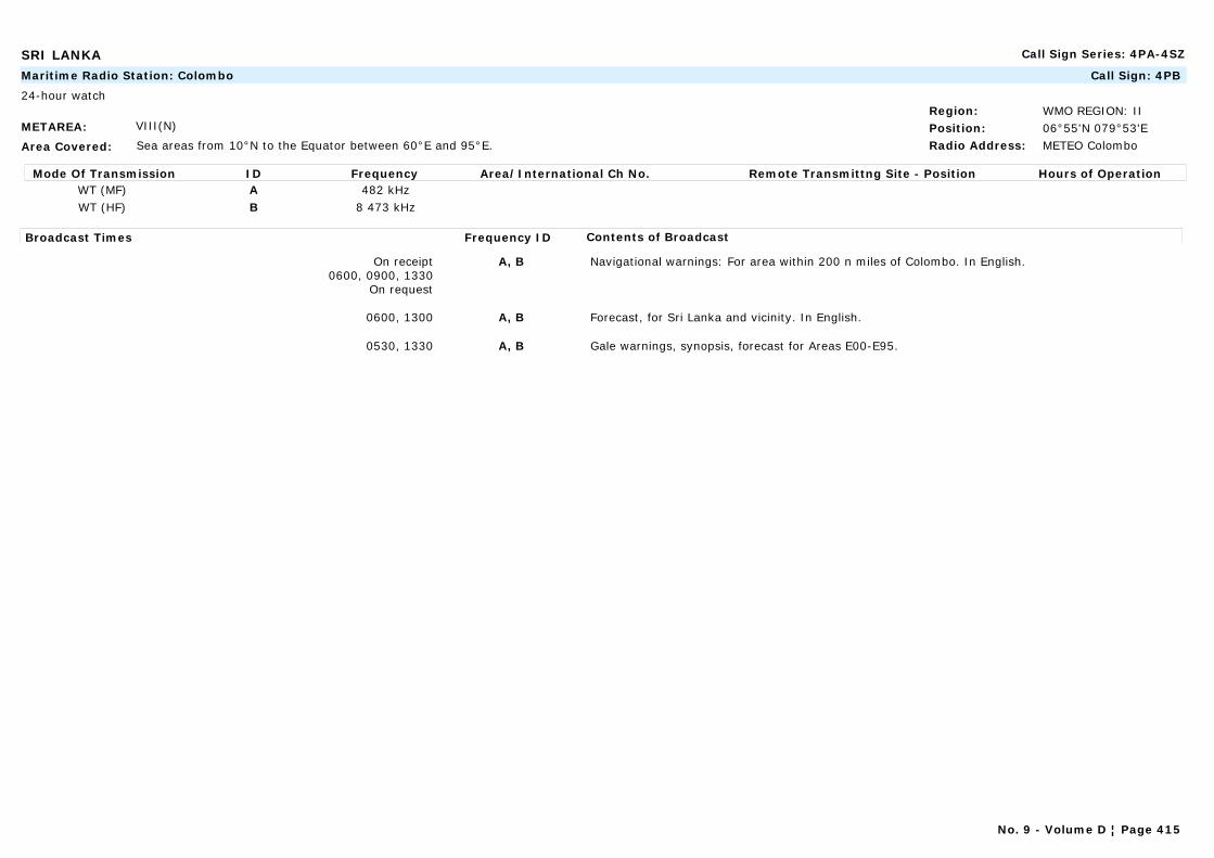
SRI LANKA Call Sign Series: 4PA-4SZ
METAREA: VIII(N)
Area Covered: Sea areas from 10°N to the Equator between 60°E and 95°E.
Region: WMO REGION: IIPosition: 06°55'N 079°53'ERadio Address: METEO Colombo
Maritime Radio Station: Colombo Call Sign: 4PB
24-hour watch
Mode Of Transmission ID Frequency Area/International Ch No. Remote Transmittng Site - Position Hours of OperationWT (MF) A 482 kHzWT (HF) B 8 473 kHz
Broadcast Times Frequency ID Contents of Broadcast
On receipt0600, 0900, 1330
On request
A, B Navigational warnings: For area within 200 n miles of Colombo. In English.
0600, 1300 A, B Forecast, for Sri Lanka and vicinity. In English.
0530, 1330 A, B Gale warnings, synopsis, forecast for Areas E00-E95.
No. 9 - Volume D ¦ Page 415
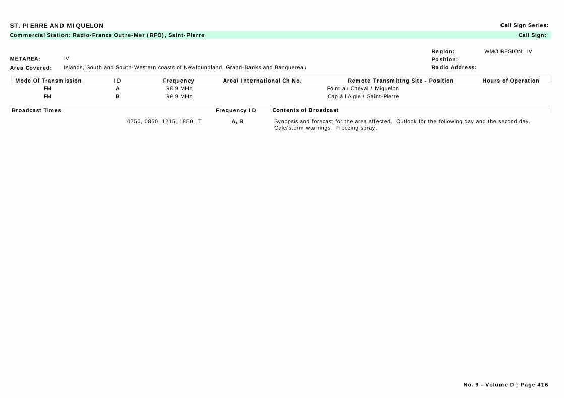
ST. PIERRE AND MIQUELON Call Sign Series:
METAREA: IV
Area Covered: Islands, South and South-Western coasts of Newfoundland, Grand-Banks and Banquereau
Region: WMO REGION: IVPosition:Radio Address:
Commercial Station: Radio-France Outre-Mer (RFO), Saint-Pierre Call Sign:
Mode Of Transmission ID Frequency Area/International Ch No. Remote Transmittng Site - Position Hours of OperationFM A 98.9 MHz Point au Cheval / MiquelonFM B 99.9 MHz Cap à l'Aigle / Saint-Pierre
Broadcast Times Frequency ID Contents of Broadcast
0750, 0850, 1215, 1850 LT A, B Synopsis and forecast for the area affected. Outlook for the following day and the second day. Gale/storm warnings. Freezing spray.
No. 9 - Volume D ¦ Page 416
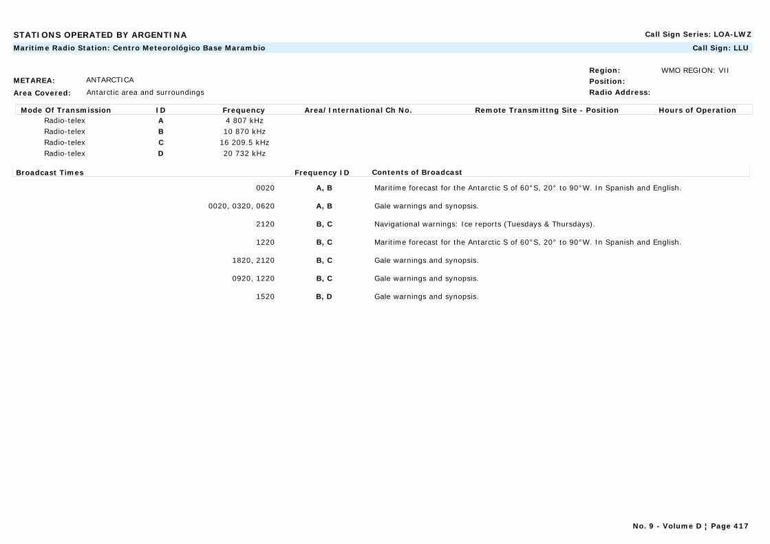
STATIONS OPERATED BY ARGENTINA Call Sign Series: LOA-LWZ
METAREA: ANTARCTICA
Area Covered: Antarctic area and surroundings
Region: WMO REGION: VIIPosition:Radio Address:
Maritime Radio Station: Centro Meteorológico Base Marambio Call Sign: LLU
Mode Of Transmission ID Frequency Area/International Ch No. Remote Transmittng Site - Position Hours of OperationRadio-telex A 4 807 kHzRadio-telex B 10 870 kHzRadio-telex C 16 209.5 kHzRadio-telex D 20 732 kHz
Broadcast Times Frequency ID Contents of Broadcast
0020 A, B Maritime forecast for the Antarctic S of 60°S, 20° to 90°W. In Spanish and English.
0020, 0320, 0620 A, B Gale warnings and synopsis.
2120 B, C Navigational warnings: Ice reports (Tuesdays & Thursdays).
1220 B, C Maritime forecast for the Antarctic S of 60°S, 20° to 90°W. In Spanish and English.
1820, 2120 B, C Gale warnings and synopsis.
0920, 1220 B, C Gale warnings and synopsis.
1520 B, D Gale warnings and synopsis.
No. 9 - Volume D ¦ Page 417

STATIONS OPERATED BY CHILE Call Sign Series: CAA-CEZ
METAREA: ANTARCTICA
Area Covered: Antarctic area and surroundings
Region: WMO REGION: VIIPosition: 62°12'S 58°55'WRadio Address:
Maritime Radio Station: Bahía Fildes Call Sign:
Mode Of Transmission ID Frequency Area/International Ch No. Remote Transmittng Site - Position Hours of OperationRT (MF) A 2738 kHz
VHF B Ch 14
Broadcast Times Frequency ID Contents of Broadcast
0150, 1350 A Antarctic weather forecast for area 9.
0155, 1355 B Antarctic weather forecast for area 9.
1400, 2200 C Antarctic weather forecast for area 9.
Note: After prior announcement on 2 182 kHz and VHF Ch 16.
METAREA: ANTARCTICA
Area Covered: Antarctic area and surroundings
Region: WMO REGION: VIIPosition:Radio Address:
Maritime Radio Station: Centro Meteorológico Presidente Eduardo Frei Montalva Call Sign: CAN6D
Mode Of Transmission ID Frequency Area/International Ch No. Remote Transmittng Site - Position Hours of OperationRadio-telex A 5 302.5 kHzRadio-telex B 11 662.5 kHzRadio-telex C 15 470 kHz
Broadcast Times Frequency ID Contents of Broadcast
1530, 2130 A-C Weather forecast for Drake Passage and Bellingshausen Sea.
1230, 1830 A-C Forecast for route to Eduardo Frei Montalva terminal.
0030, 0330, 0630, 0930, 1230, 1530, 1830, 2130 A-C Synoptic summary for Antarctic.
No. 9 - Volume D ¦ Page 418

STATIONS OPERATED BY THE U.S.A. Call Sign Series: KAA-KZZ
METAREA: ANTARCTICA
Area Covered: Antarctic area and surroundings
Region: WMO REGION: VIIPosition:Radio Address:
Maritime Radio Station: Palmer Station Call Sign: KWB268
Mode Of Transmission ID Frequency Area/International Ch No. Remote Transmittng Site - Position Hours of OperationRadio-telex A 4 553 kHzRadio-telex B 10 235 kHzRadio-telex C 13 553 kHz
Broadcast Times Frequency ID Contents of Broadcast
0100 A Navigational warnings: Ice reports for 60°W-20°E.
2000 B Navigational warnings: Ice reports for 60°W-20°E.
1500 C Navigational warnings: Ice reports for 60°W-20°E.
No. 9 - Volume D ¦ Page 419
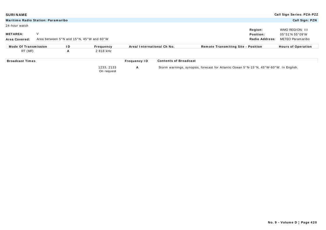
SURINAME Call Sign Series: PZA-PZZ
METAREA: V
Area Covered: Area between 5°N and 15°N, 45°W and 60°W
Region: WMO REGION: IIIPosition: 05°51'N 55°09'WRadio Address: METEO Paramaribo
Maritime Radio Station: Paramaribo Call Sign: PZN
24-hour watch
Mode Of Transmission ID Frequency Area/International Ch No. Remote Transmittng Site - Position Hours of OperationRT (MF) A 2 818 kHz
Broadcast Times Frequency ID Contents of Broadcast
1233, 2133On request
A Storm warnings, synopsis, forecast for Atlantic Ocean 5°N-15°N, 45°W-60°W. In English.
No. 9 - Volume D ¦ Page 420
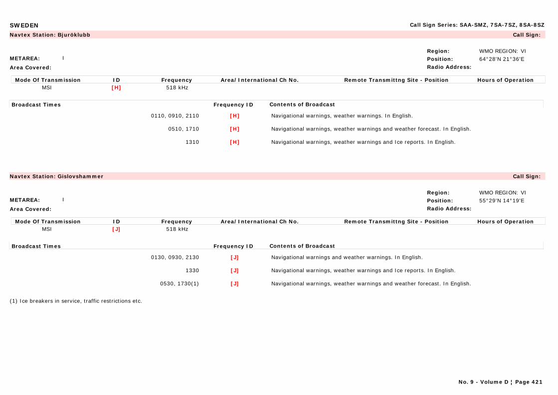
SWEDEN Call Sign Series: SAA-SMZ, 7SA-7SZ, 8SA-8SZ
METAREA: I
Area Covered:
Region: WMO REGION: VIPosition: 64°28'N 21°36'ERadio Address:
Navtex Station: Bjuröklubb Call Sign:
Mode Of Transmission ID Frequency Area/International Ch No. Remote Transmittng Site - Position Hours of OperationMSI [H] 518 kHz
Broadcast Times Frequency ID Contents of Broadcast
0110, 0910, 2110 [H] Navigational warnings, weather warnings. In English.
0510, 1710 [H] Navigational warnings, weather warnings and weather forecast. In English.
1310 [H] Navigational warnings, weather warnings and Ice reports. In English.
METAREA: I
Area Covered:
Region: WMO REGION: VIPosition: 55°29'N 14°19'ERadio Address:
Navtex Station: Gislovshammer Call Sign:
Mode Of Transmission ID Frequency Area/International Ch No. Remote Transmittng Site - Position Hours of OperationMSI [J] 518 kHz
Broadcast Times Frequency ID Contents of Broadcast
0130, 0930, 2130 [J] Navigational warnings and weather warnings. In English.
1330 [J] Navigational warnings, weather warnings and Ice reports. In English.
0530, 1730(1) [J] Navigational warnings, weather warnings and weather forecast. In English.
(1) Ice breakers in service, traffic restrictions etc.
No. 9 - Volume D ¦ Page 421
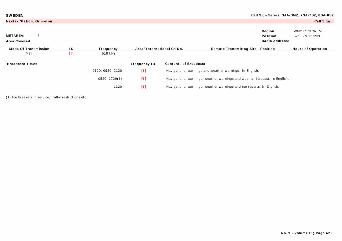
SWEDEN Call Sign Series: SAA-SMZ, 7SA-7SZ, 8SA-8SZ
METAREA: I
Area Covered:
Region: WMO REGION: VIPosition: 57°06'N 12°23'ERadio Address:
Navtex Station: Grimeton Call Sign:
Mode Of Transmission ID Frequency Area/International Ch No. Remote Transmittng Site - Position Hours of OperationMSI [I] 518 kHz
Broadcast Times Frequency ID Contents of Broadcast
0120, 0920, 2120 [I] Navigational warnings and weather warnings. In English.
0520, 1720(1) [I] Navigational warnings, weather warnings and weather forecast. In English.
1320 [I] Navigational warnings, weather warnings and Ice reports. In English.
(1) Ice breakers in service, traffic restrictions etc.
No. 9 - Volume D ¦ Page 422
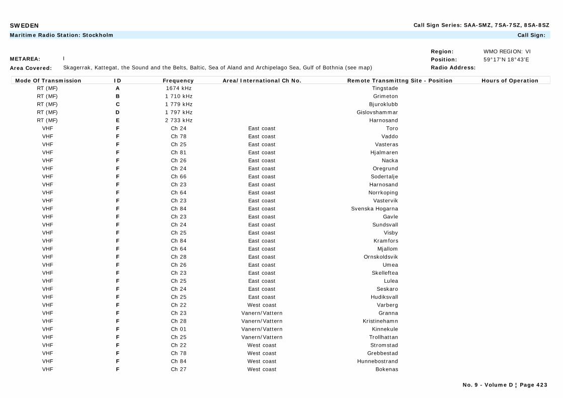
SWEDEN Call Sign Series: SAA-SMZ, 7SA-7SZ, 8SA-8SZ
METAREA: I
Area Covered: Skagerrak, Kattegat, the Sound and the Belts, Baltic, Sea of Aland and Archipelago Sea, Gulf of Bothnia (see map)
Region: WMO REGION: VIPosition: 59°17'N 18°43'ERadio Address:
Maritime Radio Station: Stockholm Call Sign:
Mode Of Transmission ID Frequency Area/International Ch No. Remote Transmittng Site - Position Hours of OperationRT (MF) A 1674 kHz TingstadeRT (MF) B 1 710 kHz GrimetonRT (MF) C 1 779 kHz BjuroklubbRT (MF) D 1 797 kHz GislovshammarRT (MF) E 2 733 kHz Harnosand
VHF F Ch 24 East coast ToroVHF F Ch 78 East coast VaddoVHF F Ch 25 East coast VasterasVHF F Ch 81 East coast HjalmarenVHF F Ch 26 East coast NackaVHF F Ch 24 East coast OregrundVHF F Ch 66 East coast SodertaljeVHF F Ch 23 East coast HarnosandVHF F Ch 64 East coast NorrkopingVHF F Ch 23 East coast VastervikVHF F Ch 84 East coast Svenska HogarnaVHF F Ch 23 East coast GavleVHF F Ch 24 East coast SundsvallVHF F Ch 25 East coast VisbyVHF F Ch 84 East coast KramforsVHF F Ch 64 East coast MjallomVHF F Ch 28 East coast OrnskoldsvikVHF F Ch 26 East coast UmeaVHF F Ch 23 East coast SkellefteaVHF F Ch 25 East coast LuleaVHF F Ch 24 East coast SeskaroVHF F Ch 25 East coast HudiksvallVHF F Ch 22 West coast VarbergVHF F Ch 23 Vanern/Vattern GrannaVHF F Ch 28 Vanern/Vattern KristinehamnVHF F Ch 01 Vanern/Vattern KinnekuleVHF F Ch 25 Vanern/Vattern TrollhattanVHF F Ch 22 West coast StromstadVHF F Ch 78 West coast GrebbestadVHF F Ch 84 West coast HunnebostrandVHF F Ch 27 West coast Bokenas
No. 9 - Volume D ¦ Page 423

SWEDEN Call Sign Series: SAA-SMZ, 7SA-7SZ, 8SA-8SZ
VHF F Ch 23 West coast OrustVHF F Ch 65 West coast LjungskileVHF F Ch 81 West coast TjornVHF F Ch 65 East coast GotskaVHF F Ch 24 West coast GoteborgVHF F Ch 28 East coast FaroVHF F Ch 62 West coast FalkenbergVHF F Ch 65 West coast HalmstadVHF F Ch 24 West coast HoganasVHF F Ch 27 West coast BarsebackVHF F Ch 21 East coast TrelleborgVHF F Ch 82 East coast KivikVHF F Ch 25 East coast KarlshamnVHF F Ch 81 East coast KarlskronaVHF F Ch 78 East coast Olands Sodra UddeVHF F Ch 26 East coast BorgholmVHF F Ch 24 East coast HoburgenVHF F Ch 26 Vanern/Vattern KarlsborgVHF F Ch 26 West coast Torslanda
Broadcast Times Frequency ID Contents of Broadcast
0733 A,B,F Weather summary. Forecast valid 24 hours. In English.
On receipt0333, 0733, 1133m 1533, 1933, 2333
A,D,F Storm/gale warnings. In clear.
1133 A,D-F Navigational warnings: Ice reports. In English.
1933 C,D,F Weather summary. Forecast valid 24 hours. In English.
NOTE:Same information is also transmitted via VHF. For frequencies and broadcast times, see List of Coast Stations (issued by ITU, International Telecommunication Union).
No. 9 - Volume D ¦ Page 424
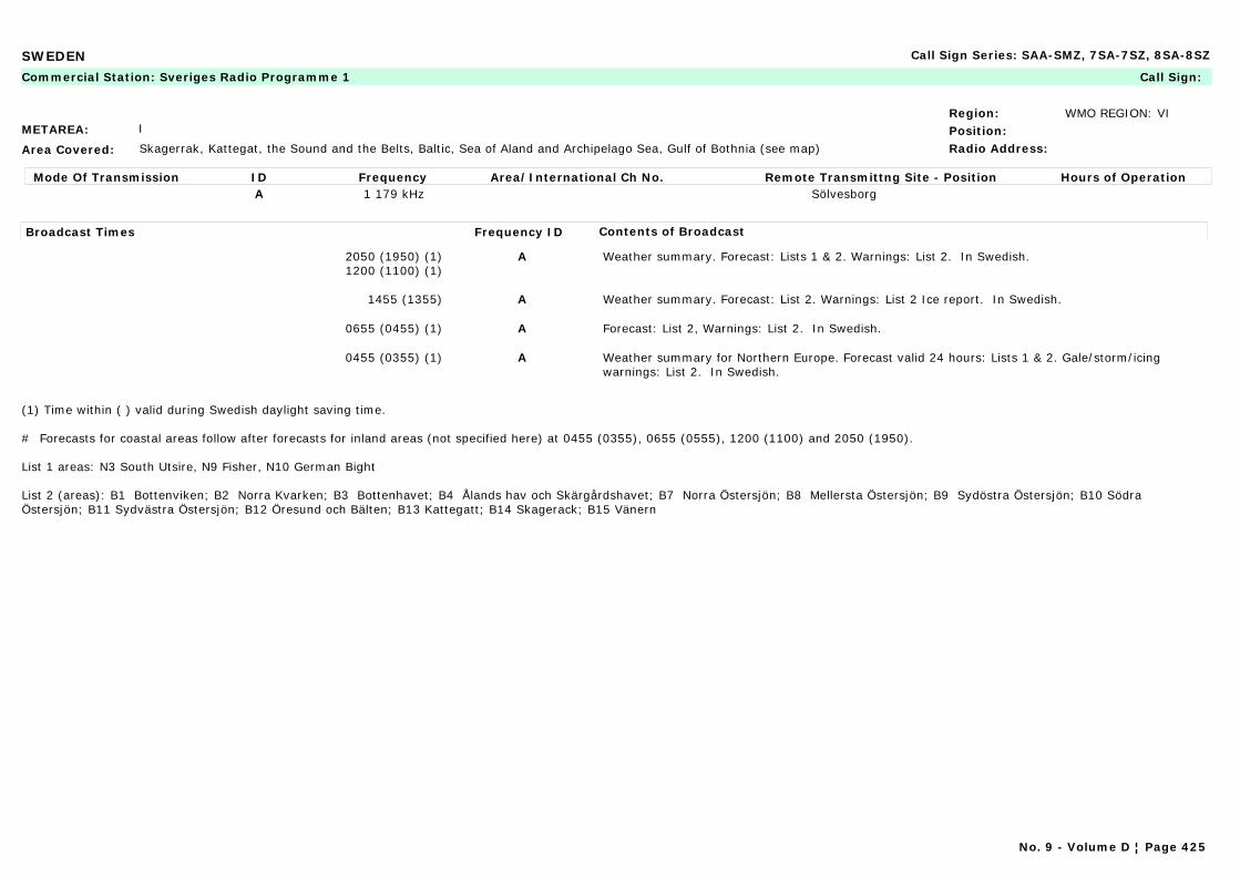
SWEDEN Call Sign Series: SAA-SMZ, 7SA-7SZ, 8SA-8SZ
METAREA: I
Area Covered: Skagerrak, Kattegat, the Sound and the Belts, Baltic, Sea of Aland and Archipelago Sea, Gulf of Bothnia (see map)
Region: WMO REGION: VIPosition:Radio Address:
Commercial Station: Sveriges Radio Programme 1 Call Sign:
Mode Of Transmission ID Frequency Area/International Ch No. Remote Transmittng Site - Position Hours of OperationA 1 179 kHz Sölvesborg
Broadcast Times Frequency ID Contents of Broadcast
2050 (1950) (1)1200 (1100) (1)
A Weather summary. Forecast: Lists 1 & 2. Warnings: List 2. In Swedish.
1455 (1355) A Weather summary. Forecast: List 2. Warnings: List 2 Ice report. In Swedish.
0655 (0455) (1) A Forecast: List 2, Warnings: List 2. In Swedish.
0455 (0355) (1) A Weather summary for Northern Europe. Forecast valid 24 hours: Lists 1 & 2. Gale/storm/icing warnings: List 2. In Swedish.
(1) Time within ( ) valid during Swedish daylight saving time.
# Forecasts for coastal areas follow after forecasts for inland areas (not specified here) at 0455 (0355), 0655 (0555), 1200 (1100) and 2050 (1950).
List 1 areas: N3 South Utsire, N9 Fisher, N10 German Bight
List 2 (areas): B1 Bottenviken; B2 Norra Kvarken; B3 Bottenhavet; B4 Ålands hav och Skärgårdshavet; B7 Norra Östersjön; B8 Mellersta Östersjön; B9 Sydöstra Östersjön; B10 Södra Östersjön; B11 Sydvästra Östersjön; B12 Öresund och Bälten; B13 Kattegatt; B14 Skagerack; B15 Vänern
No. 9 - Volume D ¦ Page 425
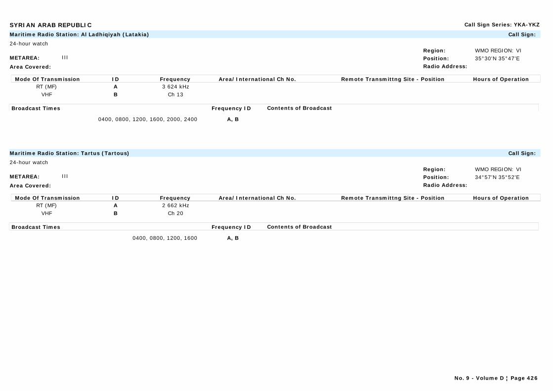
SYRIAN ARAB REPUBLIC Call Sign Series: YKA-YKZ
METAREA: III
Area Covered:
Region: WMO REGION: VIPosition: 35°30'N 35°47'ERadio Address:
Maritime Radio Station: Al Ladhiqiyah (Latakia) Call Sign:
24-hour watch
Mode Of Transmission ID Frequency Area/International Ch No. Remote Transmittng Site - Position Hours of OperationRT (MF) A 3 624 kHz
VHF B Ch 13
Broadcast Times Frequency ID Contents of Broadcast
0400, 0800, 1200, 1600, 2000, 2400 A, B
METAREA: III
Area Covered:
Region: WMO REGION: VIPosition: 34°57'N 35°52'ERadio Address:
Maritime Radio Station: Tartus (Tartous) Call Sign:
24-hour watch
Mode Of Transmission ID Frequency Area/International Ch No. Remote Transmittng Site - Position Hours of OperationRT (MF) A 2 662 kHz
VHF B Ch 20
Broadcast Times Frequency ID Contents of Broadcast
0400, 0800, 1200, 1600 A, B
No. 9 - Volume D ¦ Page 426
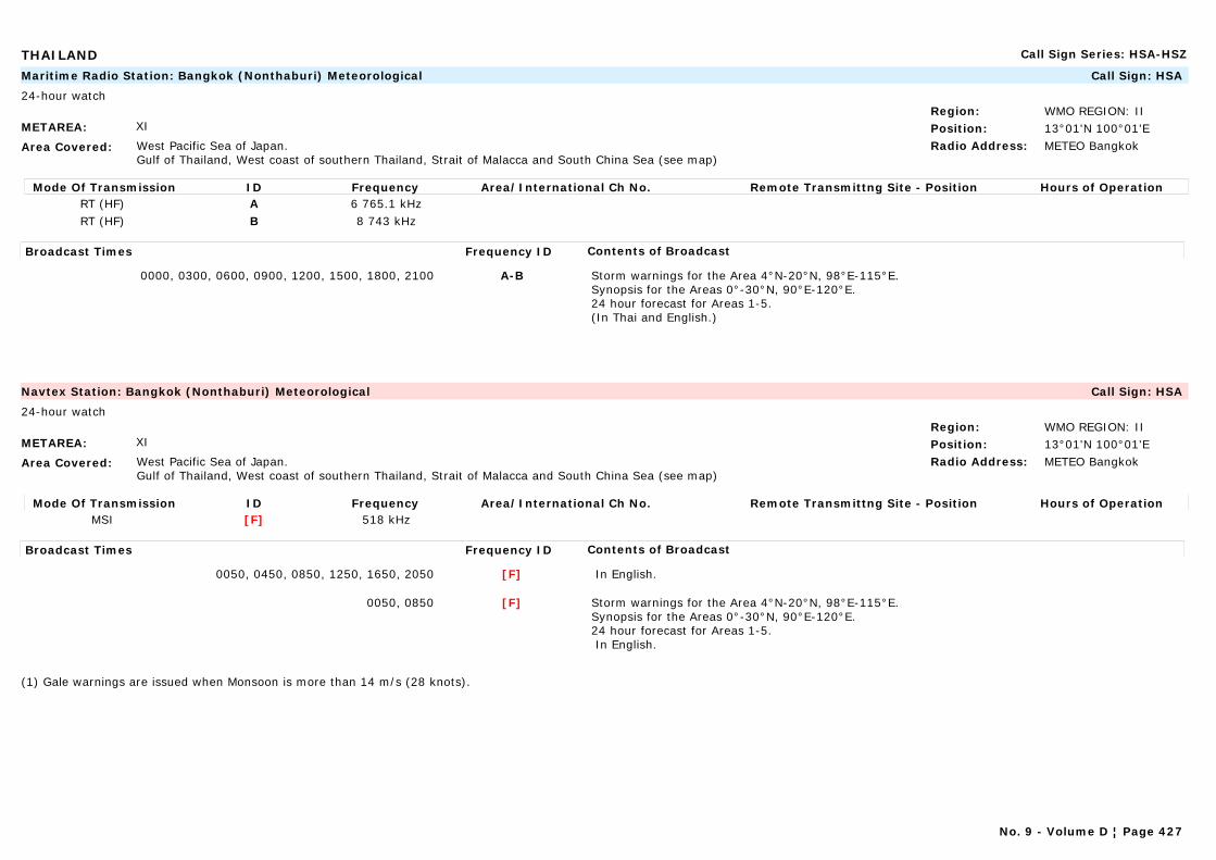
THAILAND Call Sign Series: HSA-HSZ
METAREA: XI
Area Covered: West Pacific Sea of Japan.Gulf of Thailand, West coast of southern Thailand, Strait of Malacca and South China Sea (see map)
Region: WMO REGION: IIPosition: 13°01'N 100°01'ERadio Address: METEO Bangkok
Maritime Radio Station: Bangkok (Nonthaburi) Meteorological Call Sign: HSA
24-hour watch
Mode Of Transmission ID Frequency Area/International Ch No. Remote Transmittng Site - Position Hours of OperationRT (HF) A 6 765.1 kHzRT (HF) B 8 743 kHz
Broadcast Times Frequency ID Contents of Broadcast
0000, 0300, 0600, 0900, 1200, 1500, 1800, 2100 A-B Storm warnings for the Area 4°N-20°N, 98°E-115°E.Synopsis for the Areas 0°-30°N, 90°E-120°E.24 hour forecast for Areas 1-5.(In Thai and English.)
METAREA: XI
Area Covered: West Pacific Sea of Japan.Gulf of Thailand, West coast of southern Thailand, Strait of Malacca and South China Sea (see map)
Region: WMO REGION: IIPosition: 13°01'N 100°01'ERadio Address: METEO Bangkok
Navtex Station: Bangkok (Nonthaburi) Meteorological Call Sign: HSA
24-hour watch
Mode Of Transmission ID Frequency Area/International Ch No. Remote Transmittng Site - Position Hours of OperationMSI [F] 518 kHz
Broadcast Times Frequency ID Contents of Broadcast
0050, 0450, 0850, 1250, 1650, 2050 [F] In English.
0050, 0850 [F] Storm warnings for the Area 4°N-20°N, 98°E-115°E.Synopsis for the Areas 0°-30°N, 90°E-120°E.24 hour forecast for Areas 1-5. In English.
(1) Gale warnings are issued when Monsoon is more than 14 m/s (28 knots).
No. 9 - Volume D ¦ Page 427
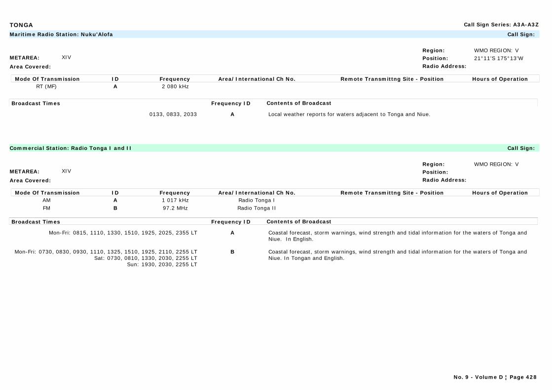
TONGA Call Sign Series: A3A-A3Z
METAREA: XIV
Area Covered:
Region: WMO REGION: VPosition: 21°11'S 175°13'WRadio Address:
Maritime Radio Station: Nuku'Alofa Call Sign:
Mode Of Transmission ID Frequency Area/International Ch No. Remote Transmittng Site - Position Hours of OperationRT (MF) A 2 080 kHz
Broadcast Times Frequency ID Contents of Broadcast
0133, 0833, 2033 A Local weather reports for waters adjacent to Tonga and Niue.
METAREA: XIV
Area Covered:
Region: WMO REGION: VPosition:Radio Address:
Commercial Station: Radio Tonga I and II Call Sign:
Mode Of Transmission ID Frequency Area/International Ch No. Remote Transmittng Site - Position Hours of OperationAM A 1 017 kHz Radio Tonga IFM B 97.2 MHz Radio Tonga II
Broadcast Times Frequency ID Contents of Broadcast
Mon-Fri: 0815, 1110, 1330, 1510, 1925, 2025, 2355 LT A Coastal forecast, storm warnings, wind strength and tidal information for the waters of Tonga and Niue. In English.
Mon-Fri: 0730, 0830, 0930, 1110, 1325, 1510, 1925, 2110, 2255 LTSat: 0730, 0810, 1330, 2030, 2255 LT
Sun: 1930, 2030, 2255 LT
B Coastal forecast, storm warnings, wind strength and tidal information for the waters of Tonga and Niue. In Tongan and English.
No. 9 - Volume D ¦ Page 428
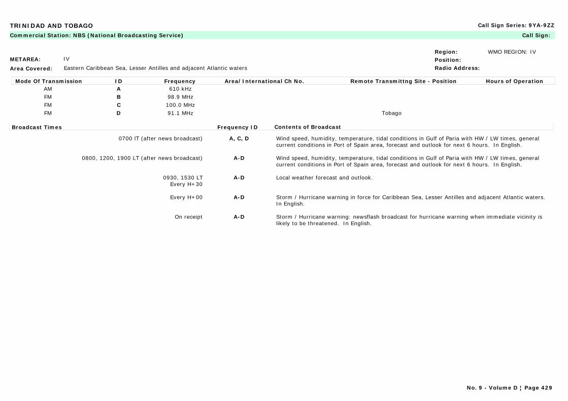
TRINIDAD AND TOBAGO Call Sign Series: 9YA-9ZZ
METAREA: IV
Area Covered: Eastern Caribbean Sea, Lesser Antilles and adjacent Atlantic waters
Region: WMO REGION: IVPosition:Radio Address:
Commercial Station: NBS (National Broadcasting Service) Call Sign:
Mode Of Transmission ID Frequency Area/International Ch No. Remote Transmittng Site - Position Hours of OperationAM A 610 kHzFM B 98.9 MHzFM C 100.0 MHzFM D 91.1 MHz Tobago
Broadcast Times Frequency ID Contents of Broadcast
0700 lT (after news broadcast) A, C, D Wind speed, humidity, temperature, tidal conditions in Gulf of Paria with HW / LW times, general current conditions in Port of Spain area, forecast and outlook for next 6 hours. In English.
0800, 1200, 1900 LT (after news broadcast) A-D Wind speed, humidity, temperature, tidal conditions in Gulf of Paria with HW / LW times, general current conditions in Port of Spain area, forecast and outlook for next 6 hours. In English.
0930, 1530 LTEvery H+30
A-D Local weather forecast and outlook.
Every H+00 A-D Storm / Hurricane warning in force for Caribbean Sea, Lesser Antilles and adjacent Atlantic waters. In English.
On receipt A-D Storm / Hurricane warning: newsflash broadcast for hurricane warning when immediate vicinity is likely to be threatened. In English.
No. 9 - Volume D ¦ Page 429
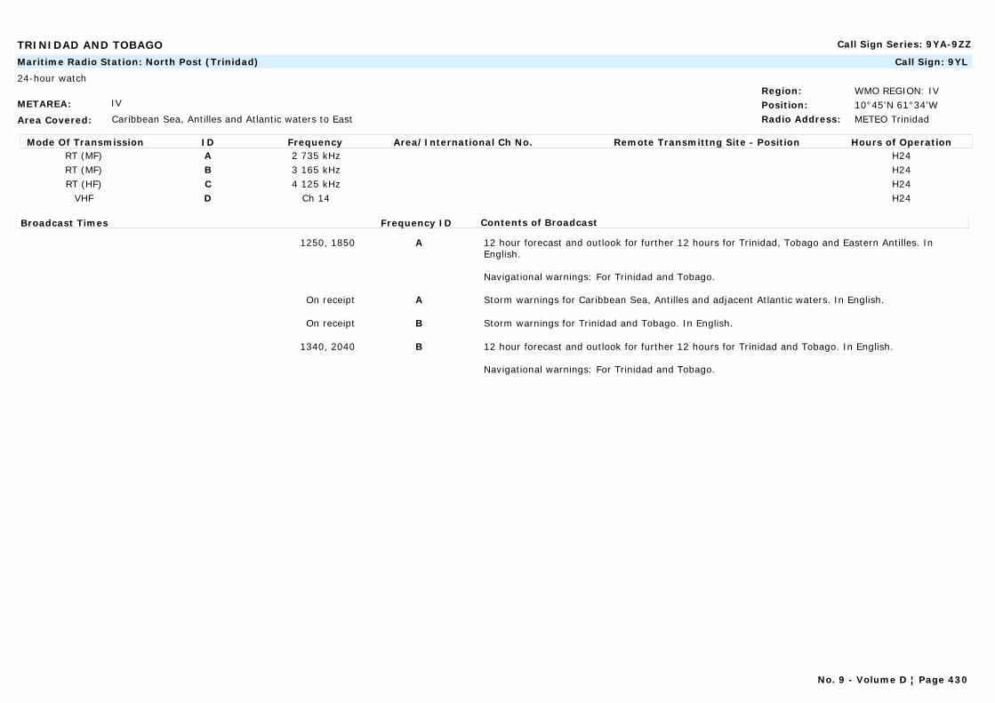
TRINIDAD AND TOBAGO Call Sign Series: 9YA-9ZZ
METAREA: IV
Area Covered: Caribbean Sea, Antilles and Atlantic waters to East
Region: WMO REGION: IVPosition: 10°45'N 61°34'WRadio Address: METEO Trinidad
Maritime Radio Station: North Post (Trinidad) Call Sign: 9YL
24-hour watch
Mode Of Transmission ID Frequency Area/International Ch No. Remote Transmittng Site - Position Hours of OperationRT (MF) A 2 735 kHz H24RT (MF) B 3 165 kHz H24RT (HF) C 4 125 kHz H24
VHF D Ch 14 H24
Broadcast Times Frequency ID Contents of Broadcast
1250, 1850 A 12 hour forecast and outlook for further 12 hours for Trinidad, Tobago and Eastern Antilles. In English.
Navigational warnings: For Trinidad and Tobago.
On receipt A Storm warnings for Caribbean Sea, Antilles and adjacent Atlantic waters. In English.
On receipt B Storm warnings for Trinidad and Tobago. In English.
1340, 2040 B 12 hour forecast and outlook for further 12 hours for Trinidad and Tobago. In English.
Navigational warnings: For Trinidad and Tobago.
No. 9 - Volume D ¦ Page 430
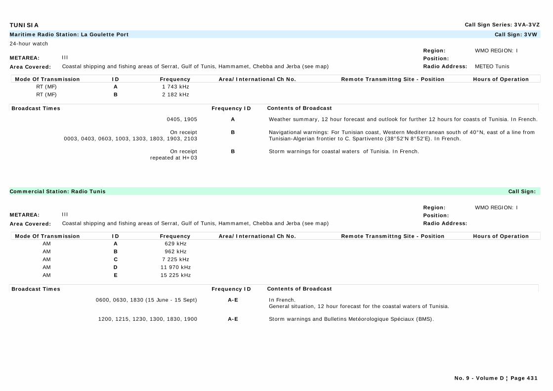
TUNISIA Call Sign Series: 3VA-3VZ
METAREA: III
Area Covered: Coastal shipping and fishing areas of Serrat, Gulf of Tunis, Hammamet, Chebba and Jerba (see map)
Region: WMO REGION: IPosition:Radio Address: METEO Tunis
Maritime Radio Station: La Goulette Port Call Sign: 3VW
24-hour watch
Mode Of Transmission ID Frequency Area/International Ch No. Remote Transmittng Site - Position Hours of OperationRT (MF) A 1 743 kHzRT (MF) B 2 182 kHz
Broadcast Times Frequency ID Contents of Broadcast
0405, 1905 A Weather summary, 12 hour forecast and outlook for further 12 hours for coasts of Tunisia. In French.
On receipt0003, 0403, 0603, 1003, 1303, 1803, 1903, 2103
B Navigational warnings: For Tunisian coast, Western Mediterranean south of 40°N, east of a line from Tunisian-Algerian frontier to C. Spartivento (38°52'N 8°52'E). In French.
On receiptrepeated at H+03
B Storm warnings for coastal waters of Tunisia. In French.
METAREA: III
Area Covered: Coastal shipping and fishing areas of Serrat, Gulf of Tunis, Hammamet, Chebba and Jerba (see map)
Region: WMO REGION: IPosition:Radio Address:
Commercial Station: Radio Tunis Call Sign:
Mode Of Transmission ID Frequency Area/International Ch No. Remote Transmittng Site - Position Hours of OperationAM A 629 kHzAM B 962 kHzAM C 7 225 kHzAM D 11 970 kHzAM E 15 225 kHz
Broadcast Times Frequency ID Contents of Broadcast
0600, 0630, 1830 (15 June - 15 Sept) A-E In French.General situation, 12 hour forecast for the coastal waters of Tunisia.
1200, 1215, 1230, 1300, 1830, 1900 A-E Storm warnings and Bulletins Metéorologique Spéciaux (BMS).
No. 9 - Volume D ¦ Page 431
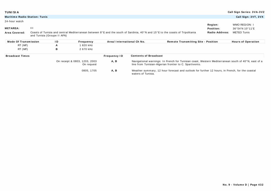
TUNISIA Call Sign Series: 3VA-3VZ
METAREA: III
Area Covered: Coasts of Tunisia and central Mediterranean between 8°E and the south of Sardinia, 40°N and 15°E to the coasts of Tripolitania and Tunisia (Groupe II AFN)
Region: WMO REGION: IPosition: 36°54'N 10°11'ERadio Address: METEO Tunis
Maritime Radio Station: Tunis Call Sign: 3VT, 3VX
24-hour watch
Mode Of Transmission ID Frequency Area/International Ch No. Remote Transmittng Site - Position Hours of OperationRT (MF) A 1 820 kHzRT (MF) B 2 670 kHz
Broadcast Times Frequency ID Contents of Broadcast
On receipt & 0803, 1203, 2003On request
A, B Navigational warnings: In French for Tunisian coast, Western Mediterranean south of 40°N, east of a line from Tunisian-Algerian frontier to C. Spartivento.
0805, 1705 A, B Weather summary, 12 hour forecast and outlook for further 12 hours, in French, for the coastal waters of Tunisia.
No. 9 - Volume D ¦ Page 432

TURKEY Call Sign Series: TAA-TCZ, YMA-YMZ
METAREA: III
Area Covered: Western and Eastern Mediterranean Coasts (30 miles distance)
Region: WMO REGION: VIPosition: 36°53'N 30°42'ERadio Address:
Maritime Radio Station: Antalya Call Sign:
24-hour watch
Mode Of Transmission ID Frequency Area/International Ch No. Remote Transmittng Site - Position Hours of OperationVHF A Ch 67 (1) Antalya Control Centre 36°53'N 30°42'EVHF B Ch 67 (1) Yumrutepe 36°15'N 29°27'EVHF B Ch 67 (1) Palamut 36°45'N 28°13'EVHF B Ch 67 (1) Markiz 36°43'N 30°29'EVHF B Ch 67 (1) Kazakin 36°50'N 29°06'EVHF B Ch 67 (1) Dilektepe 37°32'N 27°16'EVHF B Ch 67 (1) Cobandede 36°31'N 36°15'EVHF B Ch 67 (1) Anamur 36°05'N 32°50'E
Broadcast Times Frequency ID Contents of Broadcast
0900, 1930 A 3 day forecast for Black Sea, Marmara Denizi, Aegean Sea and Mediterranean Sea in Turkish.
0730, 0900, 0930, 1130, 1330, 1530, 1730, 1930 A Sea observations for Mediterranean Sea and Aegean Sea (in Turkish)
0700, 1900 A Forecast for Black Sea, Marmara Denizi, Aegean Sea and Mediterranean Sea (in Turkish and English)
On receipt A Weather warnings.
0900, 1200, 1500, 1800, 2100 LT (2)(3) B 3 day forecast for Black Sea, Marmara Denizi, Aegean Sea and Mediterranean Sea in Turkish.
(1) After prior announcement on Ch. 16.(2) Broadcasts given 1 hour early when DST is in force.(3) Broadcasts are repeated 3 times at 5 minute intervals.
No. 9 - Volume D ¦ Page 433
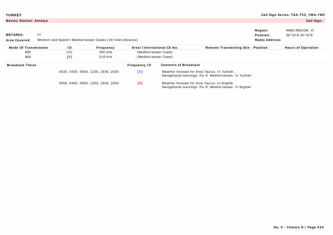
TURKEY Call Sign Series: TAA-TCZ, YMA-YMZ
METAREA: III
Area Covered: Western and Eastern Mediterranean Coasts (30 miles distance)
Region: WMO REGION: VIPosition: 36°53'N 30°42'ERadio Address:
Navtex Station: Antalya Call Sign:
Mode Of Transmission ID Frequency Area/International Ch No. Remote Transmittng Site - Position Hours of OperationMSI [D] 490 kHz (Mediterranean Coast)MSI [F] 518 kHz (Mediterranean Coast)
Broadcast Times Frequency ID Contents of Broadcast
0030, 0430, 0830, 1230, 1630, 2030 [D] Weather forecast for Area Taurus. In Turkish.Navigational warnings: For E. Mediterranean. In Turkish.
0050, 0450, 0850, 1250, 1650, 2050 [F] Weather forecast for Area Taurus. In English.Navigational warnings: For E. Mediterranean. In English.
No. 9 - Volume D ¦ Page 434
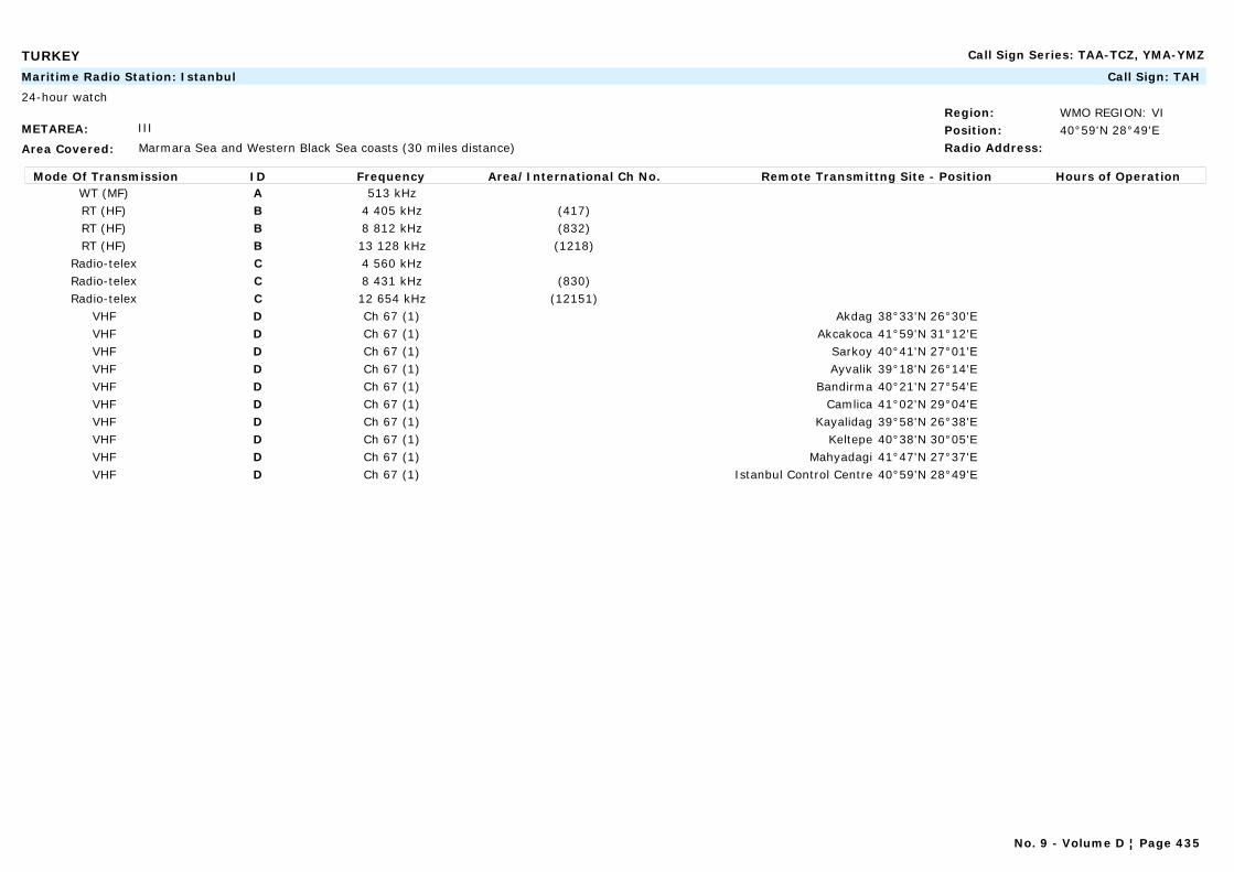
TURKEY Call Sign Series: TAA-TCZ, YMA-YMZ
METAREA: III
Area Covered: Marmara Sea and Western Black Sea coasts (30 miles distance)
Region: WMO REGION: VIPosition: 40°59'N 28°49'ERadio Address:
Maritime Radio Station: Istanbul Call Sign: TAH
24-hour watch
Mode Of Transmission ID Frequency Area/International Ch No. Remote Transmittng Site - Position Hours of OperationWT (MF) A 513 kHzRT (HF) B 4 405 kHz (417)RT (HF) B 8 812 kHz (832)RT (HF) B 13 128 kHz (1218)
Radio-telex C 4 560 kHzRadio-telex C 8 431 kHz (830)Radio-telex C 12 654 kHz (12151)
VHF D Ch 67 (1) Akdag 38°33'N 26°30'EVHF D Ch 67 (1) Akcakoca 41°59'N 31°12'EVHF D Ch 67 (1) Sarkoy 40°41'N 27°01'EVHF D Ch 67 (1) Ayvalik 39°18'N 26°14'EVHF D Ch 67 (1) Bandirma 40°21'N 27°54'EVHF D Ch 67 (1) Camlica 41°02'N 29°04'EVHF D Ch 67 (1) Kayalidag 39°58'N 26°38'EVHF D Ch 67 (1) Keltepe 40°38'N 30°05'EVHF D Ch 67 (1) Mahyadagi 41°47'N 27°37'EVHF D Ch 67 (1) Istanbul Control Centre 40°59'N 28°49'E
No. 9 - Volume D ¦ Page 435
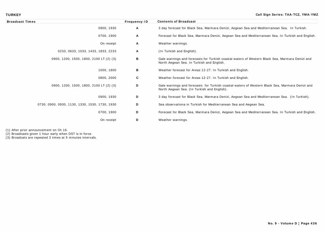
TURKEY Call Sign Series: TAA-TCZ, YMA-YMZ
Broadcast Times Frequency ID Contents of Broadcast
0900, 1930 A 3 day forecast for Black Sea, Marmara Denizi, Aegean Sea and Mediterranean Sea. In Turkish.
0700, 1900 A Forecast for Black Sea, Marmara Denizi, Aegean Sea and Mediterranean Sea. In Turkish and English.
On receipt A Weather warnings.
0233, 0633, 1033, 1433, 1833, 2233 A (In Turkish and English).
0900, 1200, 1500, 1800, 2100 LT (2) (3) B Gale warnings and forecasts for Turkish coastal waters of Western Black Sea, Marmara Denizi and North Aegean Sea. In Turkish and English.
1000, 1800 B Weather forecast for Areas 12-27. In Turkish and English.
0800, 2000 C Weather forecast for Areas 12-27. In Turkish and English.
0900, 1200, 1500, 1800, 2100 LT (2) (3) D Gale warnings and forecasts for Turkish coastal waters of Western Black Sea, Marmara Denizi and North Aegean Sea. (In Turkish and English).
0900, 1930 D 3 day forecast for Black Sea, Marmara Denizi, Aegean Sea and Mediterranean Sea. (In Turkish).
0730, 0900, 0930, 1130, 1330, 1530, 1730, 1930 D Sea observationa in Turkish for Mediterranean Sea and Aegean Sea.
0700, 1900 D Forecast for Black Sea, Marmara Denizi, Aegean Sea and Mediterranean Sea. In Turkish and English.
On receipt D Weather warnings.
(1) After prior announcement on Ch 16.(2) Broadcasts given 1 hour early when DST is in force.(3) Broadcats are repeated 3 times at 5 minutes intervals.
No. 9 - Volume D ¦ Page 436
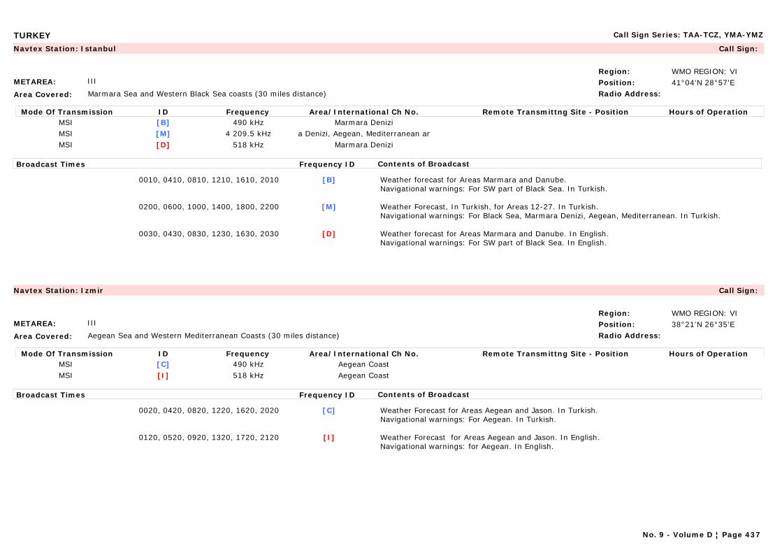
TURKEY Call Sign Series: TAA-TCZ, YMA-YMZ
METAREA: III
Area Covered: Marmara Sea and Western Black Sea coasts (30 miles distance)
Region: WMO REGION: VIPosition: 41°04'N 28°57'ERadio Address:
Navtex Station: Istanbul Call Sign:
Mode Of Transmission ID Frequency Area/International Ch No. Remote Transmittng Site - Position Hours of OperationMSI [B] 490 kHz Marmara DeniziMSI [M] 4 209.5 kHz ra Denizi, Aegean, Mediterranean anMSI [D] 518 kHz Marmara Denizi
Broadcast Times Frequency ID Contents of Broadcast
0010, 0410, 0810, 1210, 1610, 2010 [B] Weather forecast for Areas Marmara and Danube.Navigational warnings: For SW part of Black Sea. In Turkish.
0200, 0600, 1000, 1400, 1800, 2200 [M] Weather Forecast, In Turkish, for Areas 12-27. In Turkish.Navigational warnings: For Black Sea, Marmara Denizi, Aegean, Mediterranean. In Turkish.
0030, 0430, 0830, 1230, 1630, 2030 [D] Weather forecast for Areas Marmara and Danube. In English.Navigational warnings: For SW part of Black Sea. In English.
METAREA: III
Area Covered: Aegean Sea and Western Mediterranean Coasts (30 miles distance)
Region: WMO REGION: VIPosition: 38°21'N 26°35'ERadio Address:
Navtex Station: Izmir Call Sign:
Mode Of Transmission ID Frequency Area/International Ch No. Remote Transmittng Site - Position Hours of OperationMSI [C] 490 kHz Aegean CoastMSI [I] 518 kHz Aegean Coast
Broadcast Times Frequency ID Contents of Broadcast
0020, 0420, 0820, 1220, 1620, 2020 [C] Weather Forecast for Areas Aegean and Jason. In Turkish.Navigational warnings: For Aegean. In Turkish.
0120, 0520, 0920, 1320, 1720, 2120 [I] Weather Forecast for Areas Aegean and Jason. In English.Navigational warnings: for Aegean. In English.
No. 9 - Volume D ¦ Page 437

TURKEY Call Sign Series: TAA-TCZ, YMA-YMZ
METAREA: III
Area Covered: Black Sea
Region: WMO REGION: VIPosition: 41°17'N 36°20'ERadio Address:
Maritime Radio Station: Samsun Call Sign: TAF
24-hour watch
Mode Of Transmission ID Frequency Area/International Ch No. Remote Transmittng Site - Position Hours of OperationVHF A Ch 67 (1) Samsun Control Centre 41°17'N 36°20'EVHF B Ch 67 (1) Zonguldak 41°24'N 31°50'EVHF B Ch 67 (1) Yidiztepe 41°06'N 37°02'EVHF B Ch 67 (1) Pazar 41°09'E 40°49'EVHF B Ch 67 (1) Inebolu 41°53'N 33°43'EVHF B Ch 67 (1) Dutmen 41°27'N 35°29'EVHF B Ch 67 (1) Dikmen 38°16'N 40°55'EVHF B Ch 67 (1) Akcabat 41°36'N 39°27'E
(1) After prior announcement on Ch 16.
METAREA: III
Area Covered: Black Sea
Region: WMO REGION: VIPosition: 41°17'N 36°20'ERadio Address:
Navtex Station: Samsun Call Sign: TAF
Mode Of Transmission ID Frequency Area/International Ch No. Remote Transmittng Site - Position Hours of OperationMSI [A] 490 kHzMSI [E] 518 kHz Black Sea Coast
Broadcast Times Frequency ID Contents of Broadcast
0000. 0400, 0800, 1200, 1600, 2000 [A] Weather Forecast for Areas Georgia and Danube. In Turkish.Navigational warnings: For SE part of Black Sea. In Turkish.
0040, 0440, 0840, 1240, 1640, 2040 [E] Weather Forecast for Areas Georgia and Danube. In English.Navigational warnings: for SE part of Black Sea. In English.
No. 9 - Volume D ¦ Page 438
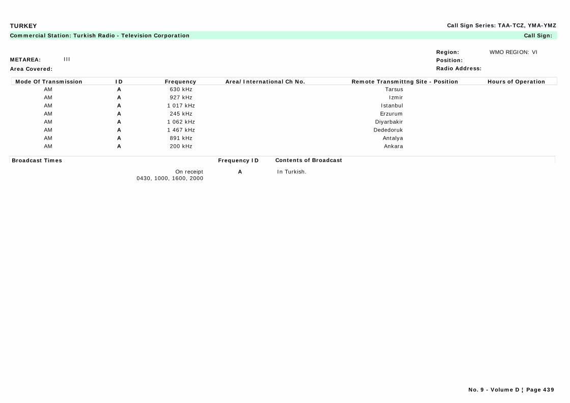
TURKEY Call Sign Series: TAA-TCZ, YMA-YMZ
METAREA: III
Area Covered:
Region: WMO REGION: VIPosition:Radio Address:
Commercial Station: Turkish Radio - Television Corporation Call Sign:
Mode Of Transmission ID Frequency Area/International Ch No. Remote Transmittng Site - Position Hours of OperationAM A 630 kHz TarsusAM A 927 kHz IzmirAM A 1 017 kHz IstanbulAM A 245 kHz ErzurumAM A 1 062 kHz DiyarbakirAM A 1 467 kHz DededorukAM A 891 kHz AntalyaAM A 200 kHz Ankara
Broadcast Times Frequency ID Contents of Broadcast
On receipt0430, 1000, 1600, 2000
A In Turkish.
No. 9 - Volume D ¦ Page 439
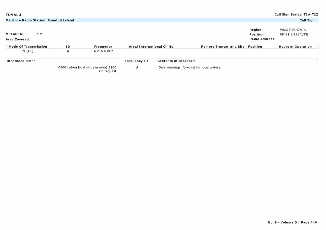
TUVALU Call Sign Series: T2A-T2Z
METAREA: XIV
Area Covered:
Region: WMO REGION: VPosition: 08°31'S 179°13'ERadio Address:
Maritime Radio Station: Funafuti Island Call Sign:
Mode Of Transmission ID Frequency Area/International Ch No. Remote Transmittng Site - Position Hours of OperationRT (HF) A 6 215.5 kHz
Broadcast Times Frequency ID Contents of Broadcast
0500 (when local ships in area) 2100On request
A Gale warnings, forecast for local waters.
No. 9 - Volume D ¦ Page 440
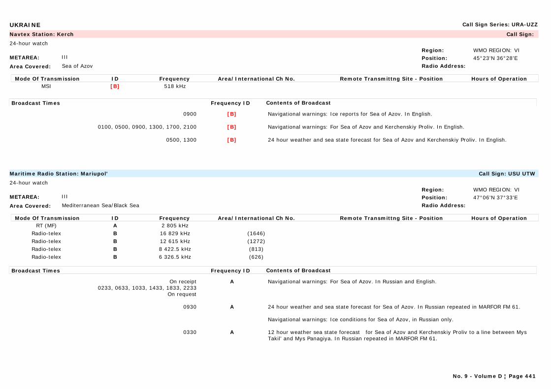
UKRAINE Call Sign Series: URA-UZZ
METAREA: III
Area Covered: Sea of Azov
Region: WMO REGION: VIPosition: 45°23'N 36°28'ERadio Address:
Navtex Station: Kerch Call Sign:
24-hour watch
Mode Of Transmission ID Frequency Area/International Ch No. Remote Transmittng Site - Position Hours of OperationMSI [B] 518 kHz
Broadcast Times Frequency ID Contents of Broadcast
0900 [B] Navigational warnings: Ice reports for Sea of Azov. In English.
0100, 0500, 0900, 1300, 1700, 2100 [B] Navigational warnings: For Sea of Azov and Kerchenskiy Proliv. In English.
0500, 1300 [B] 24 hour weather and sea state forecast for Sea of Azov and Kerchenskiy Proliv. In English.
METAREA: III
Area Covered: Mediterranean Sea/Black Sea
Region: WMO REGION: VIPosition: 47°06'N 37°33'ERadio Address:
Maritime Radio Station: Mariupol' Call Sign: USU UTW
24-hour watch
Mode Of Transmission ID Frequency Area/International Ch No. Remote Transmittng Site - Position Hours of OperationRT (MF) A 2 805 kHz
Radio-telex B 16 829 kHz (1646)Radio-telex B 12 615 kHz (1272)Radio-telex B 8 422.5 kHz (813)Radio-telex B 6 326.5 kHz (626)
Broadcast Times Frequency ID Contents of Broadcast
On receipt0233, 0633, 1033, 1433, 1833, 2233
On request
A Navigational warnings: For Sea of Azov. In Russian and English.
0930 A 24 hour weather and sea state forecast for Sea of Azov. In Russian repeated in MARFOR FM 61.
Navigational warnings: Ice conditions for Sea of Azov, in Russian only.
0330 A 12 hour weather sea state forecast for Sea of Azov and Kerchenskiy Proliv to a line between Mys Takil' and Mys Panagiya. In Russian repeated in MARFOR FM 61.
No. 9 - Volume D ¦ Page 441
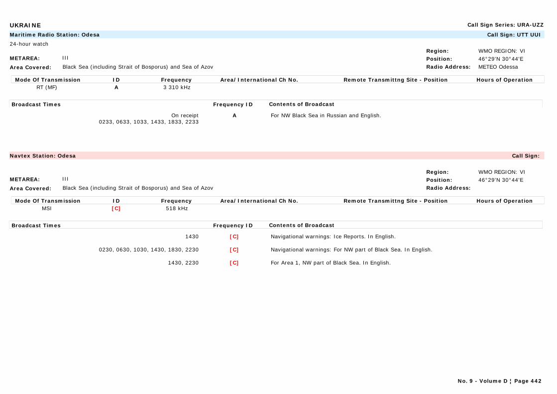
UKRAINE Call Sign Series: URA-UZZ
METAREA: III
Area Covered: Black Sea (including Strait of Bosporus) and Sea of Azov
Region: WMO REGION: VIPosition: 46°29'N 30°44'ERadio Address: METEO Odessa
Maritime Radio Station: Odesa Call Sign: UTT UUI
24-hour watch
Mode Of Transmission ID Frequency Area/International Ch No. Remote Transmittng Site - Position Hours of OperationRT (MF) A 3 310 kHz
Broadcast Times Frequency ID Contents of Broadcast
On receipt0233, 0633, 1033, 1433, 1833, 2233
A For NW Black Sea in Russian and English.
METAREA: III
Area Covered: Black Sea (including Strait of Bosporus) and Sea of Azov
Region: WMO REGION: VIPosition: 46°29'N 30°44'ERadio Address:
Navtex Station: Odesa Call Sign:
Mode Of Transmission ID Frequency Area/International Ch No. Remote Transmittng Site - Position Hours of OperationMSI [C] 518 kHz
Broadcast Times Frequency ID Contents of Broadcast
1430 [C] Navigational warnings: Ice Reports. In English.
0230, 0630, 1030, 1430, 1830, 2230 [C] Navigational warnings: For NW part of Black Sea. In English.
1430, 2230 [C] For Area 1, NW part of Black Sea. In English.
No. 9 - Volume D ¦ Page 442
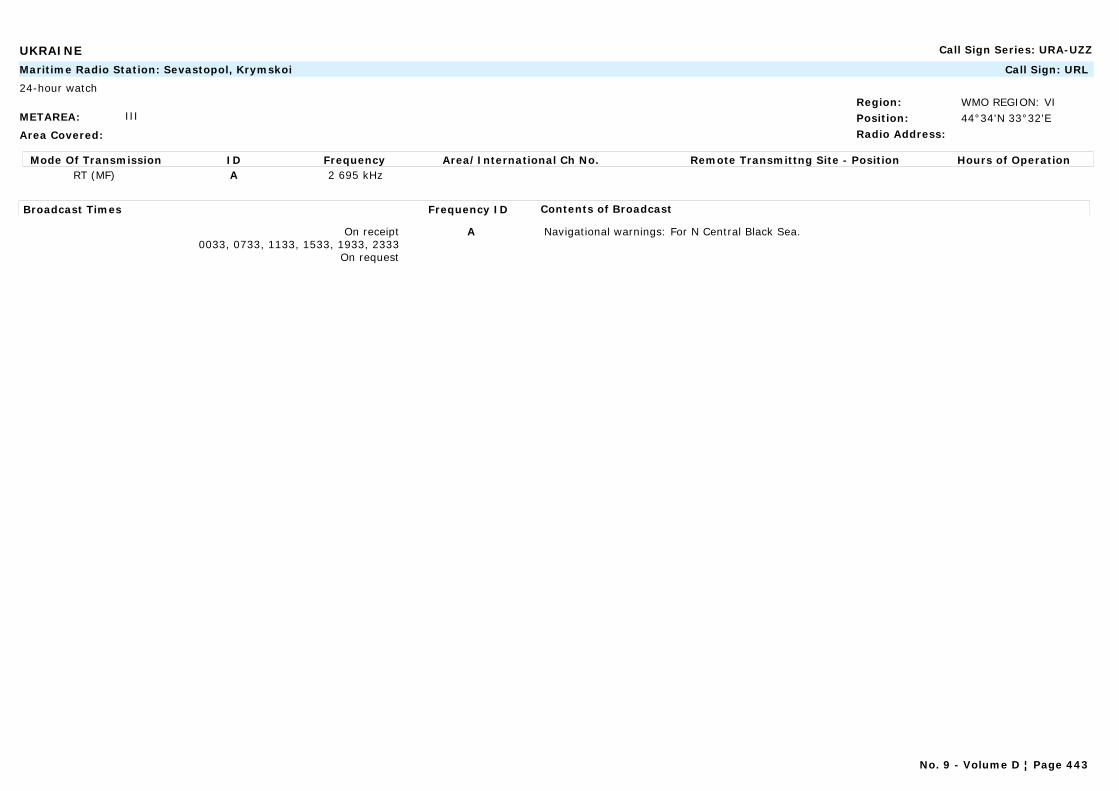
UKRAINE Call Sign Series: URA-UZZ
METAREA: III
Area Covered:
Region: WMO REGION: VIPosition: 44°34'N 33°32'ERadio Address:
Maritime Radio Station: Sevastopol, Krymskoi Call Sign: URL
24-hour watch
Mode Of Transmission ID Frequency Area/International Ch No. Remote Transmittng Site - Position Hours of OperationRT (MF) A 2 695 kHz
Broadcast Times Frequency ID Contents of Broadcast
On receipt0033, 0733, 1133, 1533, 1933, 2333
On request
A Navigational warnings: For N Central Black Sea.
No. 9 - Volume D ¦ Page 443

UNITED KINGDOM OF GREAT BRITAIN AND NORTHERN IRELAND Call Sign Series: GAA-GZZ
METAREA: I
Area Covered: Sea areas and the Inshore waters around the United Kingdom of Great Britain and Northern Ireland
Region: WMO REGION: VIPosition: 57°09'N 02°05'WRadio Address:
Marine Rescue Co-ordination Centre: Aberdeen (MRCC) Call Sign:
H24
Mode Of Transmission ID Frequency Area/International Ch No. Remote Transmittng Site - Position Hours of OperationRT (MF) A 2 226 kHz Gregness 57°08'N 02°03'W
VHF B Ch 23 Windy Head 57°39'N 02°14'WVHF B Ch 86 Rosemarkie 57°38'N 04°05'WVHF B Ch 84 Noss Head 58°29'N 03°03'WVHF B Ch 86 Gregness 57°08'N 02°03'WVHF B Ch 23 Durness 58°34'N 04°44'W
Broadcast Times Frequency ID Contents of Broadcast
0130, 1330 LT A Repetition of gale warnings and inshore forecast made only if there are gale warnings in force.
On receipt A, B Gale warnings for Areas Fair Isle, Cromarty, Forth, Forties and Tyne. Strong wind warnings.Navigational warnings: coastal (WZ) warnings for areas 1 and 2.
0730, 1930 LT A,B Gale warnings and shipping forecast for areas Fair Isle, Cromarty, Forth, Forties and Tyne. Inshore forecast for Areas 1 and 2. 3-day forecast for fishermen (Oct-March).Navigational warnings: coastal (WZ) warnings for areas 1 and 2.
0430, 1030, 1630, 2230 LT B Repetition of inshore forecast and gale warnings. Strong wind warnings for Areas 1 and 2.
0130, 1330 LT B Gale warnings for areas Fair Isle, Cromarty, Forth, Forties and Tyne. Inshore forecast for Areas 1 and 2.
Note: Vessels should listen to the MSI announcement on VHF Ch 16 for details of the working channel to be used for the broadcast.
No. 9 - Volume D ¦ Page 444
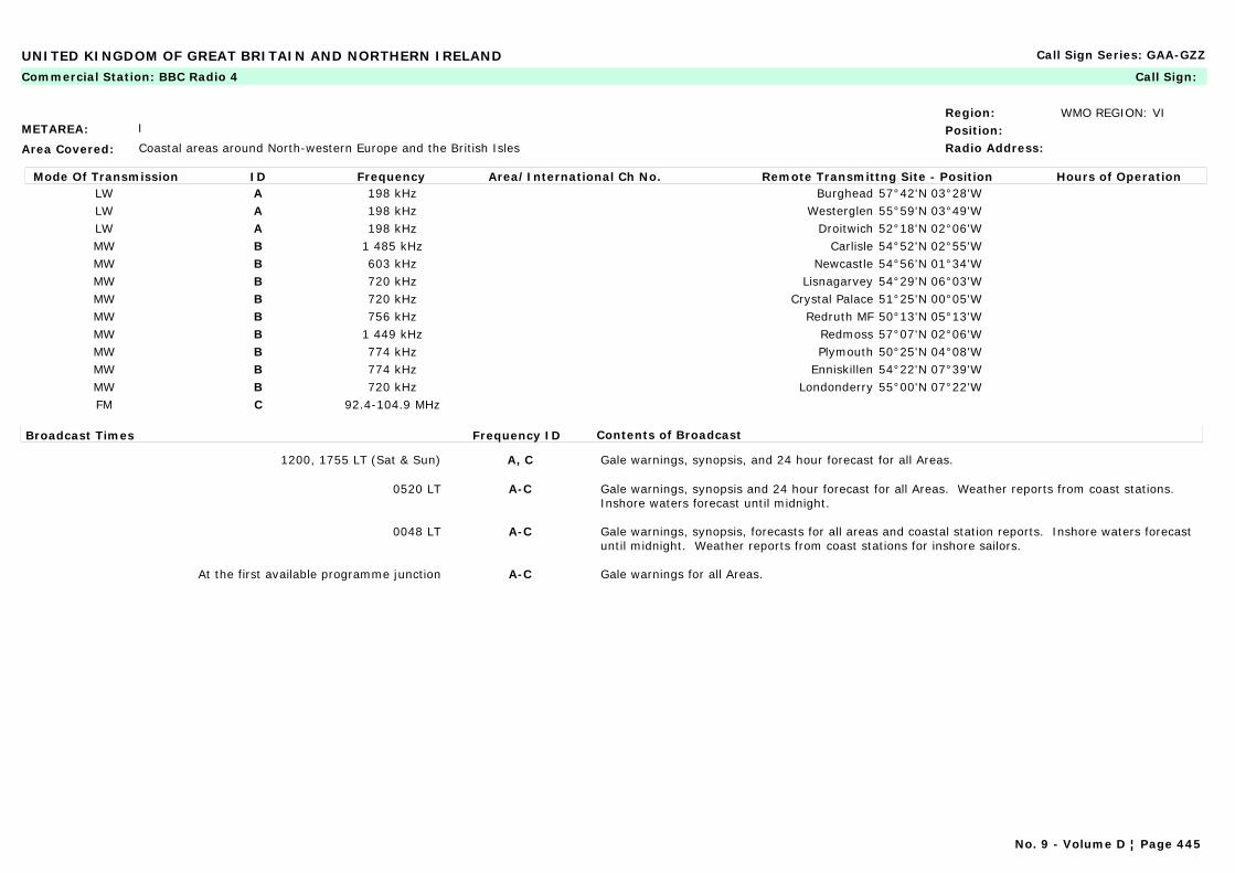
UNITED KINGDOM OF GREAT BRITAIN AND NORTHERN IRELAND Call Sign Series: GAA-GZZ
METAREA: I
Area Covered: Coastal areas around North-western Europe and the British Isles
Region: WMO REGION: VIPosition:Radio Address:
Commercial Station: BBC Radio 4 Call Sign:
Mode Of Transmission ID Frequency Area/International Ch No. Remote Transmittng Site - Position Hours of OperationLW A 198 kHz Burghead 57°42'N 03°28'WLW A 198 kHz Westerglen 55°59'N 03°49'WLW A 198 kHz Droitwich 52°18'N 02°06'WMW B 1 485 kHz Carlisle 54°52'N 02°55'WMW B 603 kHz Newcastle 54°56'N 01°34'WMW B 720 kHz Lisnagarvey 54°29'N 06°03'WMW B 720 kHz Crystal Palace 51°25'N 00°05'WMW B 756 kHz Redruth MF 50°13'N 05°13'WMW B 1 449 kHz Redmoss 57°07'N 02°06'WMW B 774 kHz Plymouth 50°25'N 04°08'WMW B 774 kHz Enniskillen 54°22'N 07°39'WMW B 720 kHz Londonderry 55°00'N 07°22'WFM C 92.4-104.9 MHz
Broadcast Times Frequency ID Contents of Broadcast
1200, 1755 LT (Sat & Sun) A, C Gale warnings, synopsis, and 24 hour forecast for all Areas.
0520 LT A-C Gale warnings, synopsis and 24 hour forecast for all Areas. Weather reports from coast stations. Inshore waters forecast until midnight.
0048 LT A-C Gale warnings, synopsis, forecasts for all areas and coastal station reports. Inshore waters forecast until midnight. Weather reports from coast stations for inshore sailors.
At the first available programme junction A-C Gale warnings for all Areas.
No. 9 - Volume D ¦ Page 445
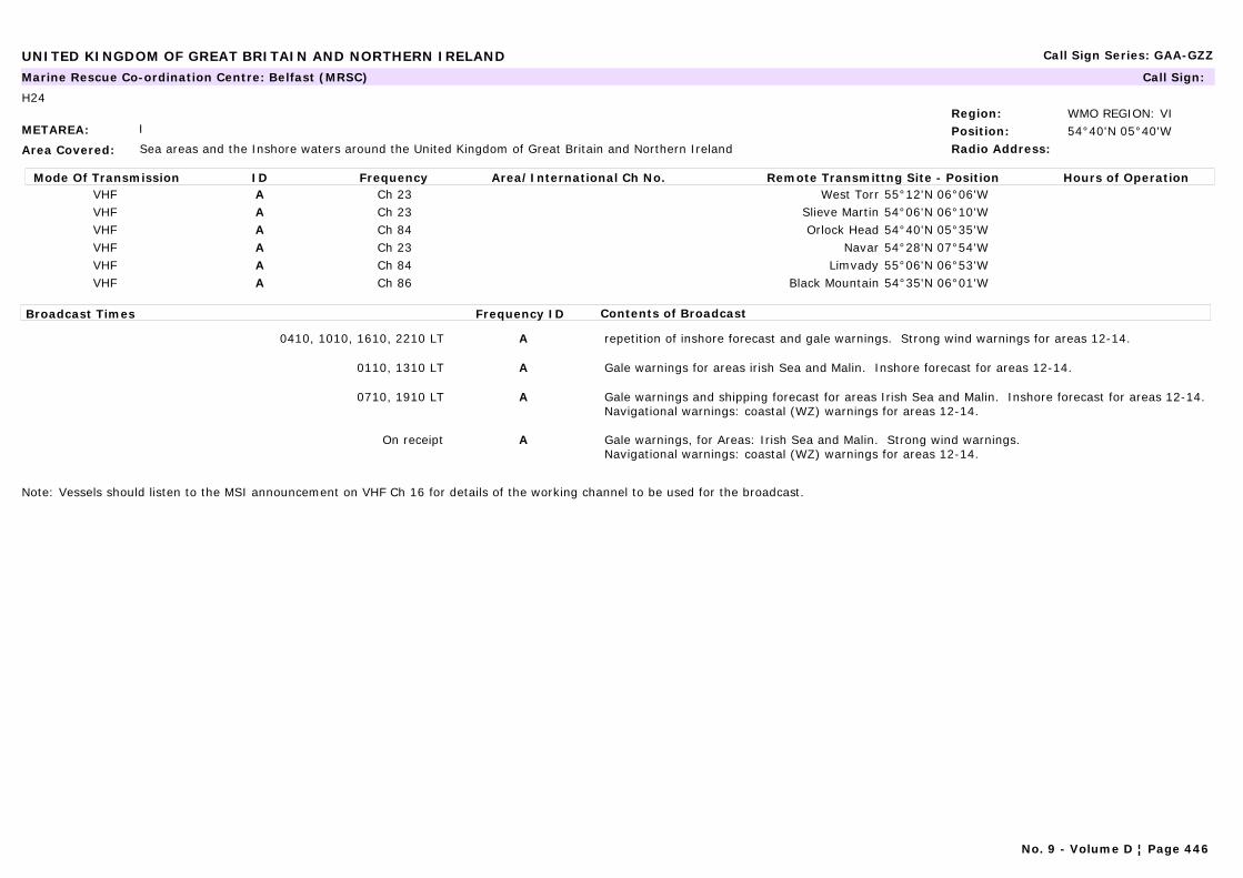
UNITED KINGDOM OF GREAT BRITAIN AND NORTHERN IRELAND Call Sign Series: GAA-GZZ
METAREA: I
Area Covered: Sea areas and the Inshore waters around the United Kingdom of Great Britain and Northern Ireland
Region: WMO REGION: VIPosition: 54°40'N 05°40'WRadio Address:
Marine Rescue Co-ordination Centre: Belfast (MRSC) Call Sign:
H24
Mode Of Transmission ID Frequency Area/International Ch No. Remote Transmittng Site - Position Hours of OperationVHF A Ch 23 West Torr 55°12'N 06°06'WVHF A Ch 23 Slieve Martin 54°06'N 06°10'WVHF A Ch 84 Orlock Head 54°40'N 05°35'WVHF A Ch 23 Navar 54°28'N 07°54'WVHF A Ch 84 Limvady 55°06'N 06°53'WVHF A Ch 86 Black Mountain 54°35'N 06°01'W
Broadcast Times Frequency ID Contents of Broadcast
0410, 1010, 1610, 2210 LT A repetition of inshore forecast and gale warnings. Strong wind warnings for areas 12-14.
0110, 1310 LT A Gale warnings for areas irish Sea and Malin. Inshore forecast for areas 12-14.
0710, 1910 LT A Gale warnings and shipping forecast for areas Irish Sea and Malin. Inshore forecast for areas 12-14.Navigational warnings: coastal (WZ) warnings for areas 12-14.
On receipt A Gale warnings, for Areas: Irish Sea and Malin. Strong wind warnings.Navigational warnings: coastal (WZ) warnings for areas 12-14.
Note: Vessels should listen to the MSI announcement on VHF Ch 16 for details of the working channel to be used for the broadcast.
No. 9 - Volume D ¦ Page 446

UNITED KINGDOM OF GREAT BRITAIN AND NORTHERN IRELAND Call Sign Series: GAA-GZZ
METAREA: I
Area Covered: Sea areas and the Inshore waters around the United Kingdom of Great Britain and Northern Ireland
Region: WMO REGION: VIPosition: 50°24'N 03°31'WRadio Address:
Marine Rescue Co-ordination Centre: Brixham (MRSC) Call Sign:
H24
Mode Of Transmission ID Frequency Area/International Ch No. Remote Transmittng Site - Position Hours of OperationVHF A Ch 86 Rame Head 50°19'N 04°13'WVHF A Ch 10 Fowey 50°20'N 04°38'WVHF A Ch 84 East Prawle 50°13'N 03°42'WVHF A Ch 10 Dartmouth 50°21'N 03°35'WVHF A Ch 23 Berry Head 50°24'N 03°29'W
Broadcast Times Frequency ID Contents of Broadcast
0410, 1010, 1610, 2210 LT A rrepetition of inshore forecast and gale warnings Strong wind warnings for Areas 8 and 9.
0110, 1310 LT A Gale warnings, for Areas Portland and Plymouth, Shannon, Fastnet and Sole. Inshore forecast for areas 8 and 9.
0710, 1910 LT A Gale warnings and shipping forecast for Areas Portland and Plymouth, Shannon, Fastnet and Sole. Inshore forecast for areas 8 and 9.Navigational warnings: coastal (WZ) warnings for areas 8 and 9.
On receipt A Gale warnings, for Areas Portland and Plymouth, Shannon, Fastnet and Sole. Strong wind warnings.Navigational warnings: coastal (WZ) warnings for areas 8 and 9.
Note: Vessels should listen to the MSI announcement on VHF Ch 16 for details of the working channel to be used for the broadcast.
No. 9 - Volume D ¦ Page 447

UNITED KINGDOM OF GREAT BRITAIN AND NORTHERN IRELAND Call Sign Series: GAA-GZZ
METAREA: I
Area Covered: Sea areas and the Inshore waters around the United Kingdom of Great Britain and Northern Ireland
Region: WMO REGION: VIPosition: 55°58'N 04°49'WRadio Address:
Marine Rescue Co-ordination Centre: Clyde (MRCC) Call Sign:
H24
Mode Of Transmission ID Frequency Area/International Ch No. Remote Transmittng Site - Position Hours of OperationRT (MF) A 1 883 kHz Tiree 56°30'N 06°59'W
VHF B Ch 10 Torosay 56°27'N 05°44'WVHF B Ch 86 Tiree 56°30'N 06°58'WVHF B Ch 23 South Knapdale 55°55'N 05°28'WVHF B Ch 10 Rhu Staffnish 55°22'N 05°32'WVHF B Ch 86 Lawhill 55°42'N 04°50'WVHF B Ch 84 Kilchiaran 55°46'N 06°27'WVHF B Ch 23 Glengorm 56°38'N 06°08'WVHF B Ch 84 Clyde 55°58'N 04°48'W
Broadcast Times Frequency ID Contents of Broadcast
0210, 1410 A Repetition of gale warnings and inshore forecast made only if there area gale warning in force.
0810, 2010 A, B Gale warnings and shipping forecast for Areas Bailey, Hebrides, Rockall and Malin. Inshore forecast for areas 14 and 15.Navigational warnings: coastal (WZ) warnings for areas 14 and 15.
On receipt A, B Gale warnings for Areas Bailey, Hebrides, Rockall and Malin. Strong wind warnings.Navigational warnings: coastal (WZ) warnings for areas 14 and 15.
0510, 1110, 1710, 2310 B Repetition of inshore forecast and gale warnings. Strong wind warnings for areas 14 and 15.
0210, 1410 B Gale warnings for areas Bailey, Hebrides, Rockall and Malin. Inshore forecast for areas 14 and 15.
Note: Vessels should listen to the MSI announcement on VHF Ch 16 for details of the working channel to be used for the broadcast.
No. 9 - Volume D ¦ Page 448
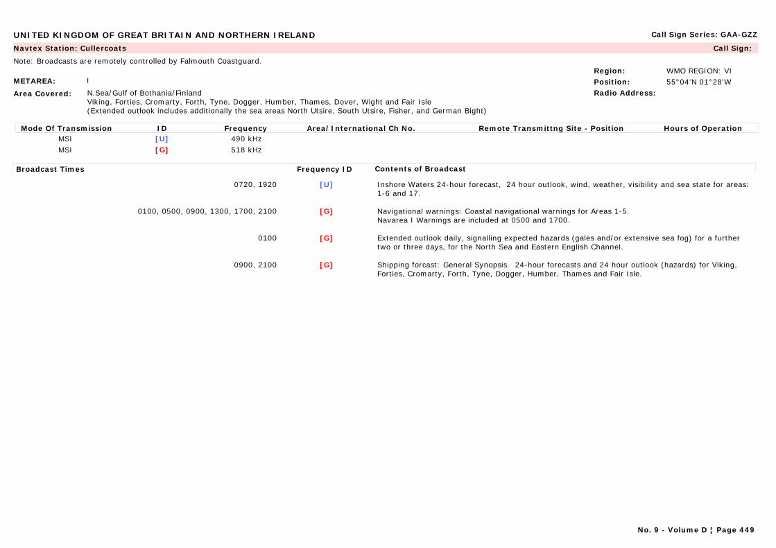
UNITED KINGDOM OF GREAT BRITAIN AND NORTHERN IRELAND Call Sign Series: GAA-GZZ
METAREA: I
Area Covered: N.Sea/Gulf of Bothania/FinlandViking, Forties, Cromarty, Forth, Tyne, Dogger, Humber, Thames, Dover, Wight and Fair Isle(Extended outlook includes additionally the sea areas North Utsire, South Utsire, Fisher, and German Bight)
Region: WMO REGION: VIPosition: 55°04'N 01°28'WRadio Address:
Navtex Station: Cullercoats Call Sign:
Note: Broadcasts are remotely controlled by Falmouth Coastguard.
Mode Of Transmission ID Frequency Area/International Ch No. Remote Transmittng Site - Position Hours of OperationMSI [U] 490 kHzMSI [G] 518 kHz
Broadcast Times Frequency ID Contents of Broadcast
0720, 1920 [U] Inshore Waters 24-hour forecast, 24 hour outlook, wind, weather, visibility and sea state for areas: 1-6 and 17.
0100, 0500, 0900, 1300, 1700, 2100 [G] Navigational warnings: Coastal navigational warnings for Areas 1-5.Navarea I Warnings are included at 0500 and 1700.
0100 [G] Extended outlook daily, signalling expected hazards (gales and/or extensive sea fog) for a further two or three days, for the North Sea and Eastern English Channel.
0900, 2100 [G] Shipping forcast: General Synopsis. 24-hour forecasts and 24 hour outlook (hazards) for Viking, Forties, Cromarty, Forth, Tyne, Dogger, Humber, Thames and Fair Isle.
No. 9 - Volume D ¦ Page 449
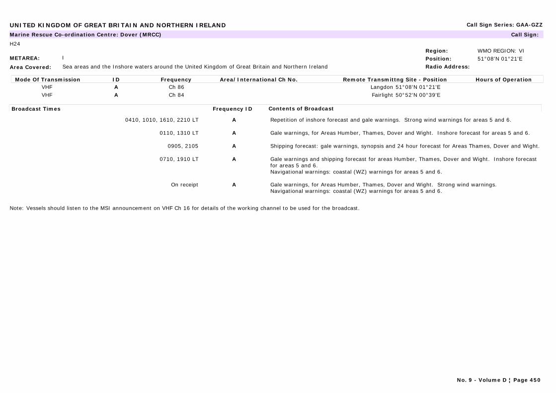
UNITED KINGDOM OF GREAT BRITAIN AND NORTHERN IRELAND Call Sign Series: GAA-GZZ
METAREA: I
Area Covered: Sea areas and the Inshore waters around the United Kingdom of Great Britain and Northern Ireland
Region: WMO REGION: VIPosition: 51°08'N 01°21'ERadio Address:
Marine Rescue Co-ordination Centre: Dover (MRCC) Call Sign:
H24
Mode Of Transmission ID Frequency Area/International Ch No. Remote Transmittng Site - Position Hours of OperationVHF A Ch 86 Langdon 51°08'N 01°21'EVHF A Ch 84 Fairlight 50°52'N 00°39'E
Broadcast Times Frequency ID Contents of Broadcast
0410, 1010, 1610, 2210 LT A Repetition of inshore forecast and gale warnings. Strong wind warnings for areas 5 and 6.
0110, 1310 LT A Gale warnings, for Areas Humber, Thames, Dover and Wight. Inshore forecast for areas 5 and 6.
0905, 2105 A Shipping forecast: gale warnings, synopsis and 24 hour forecast for Areas Thames, Dover and Wight.
0710, 1910 LT A Gale warnings and shipping forecast for areas Humber, Thames, Dover and Wight. Inshore forecast for areas 5 and 6.Navigational warnings: coastal (WZ) warnings for areas 5 and 6.
On receipt A Gale warnings, for Areas Humber, Thames, Dover and Wight. Strong wind warnings. Navigational warnings: coastal (WZ) warnings for areas 5 and 6.
Note: Vessels should listen to the MSI announcement on VHF Ch 16 for details of the working channel to be used for the broadcast.
No. 9 - Volume D ¦ Page 450
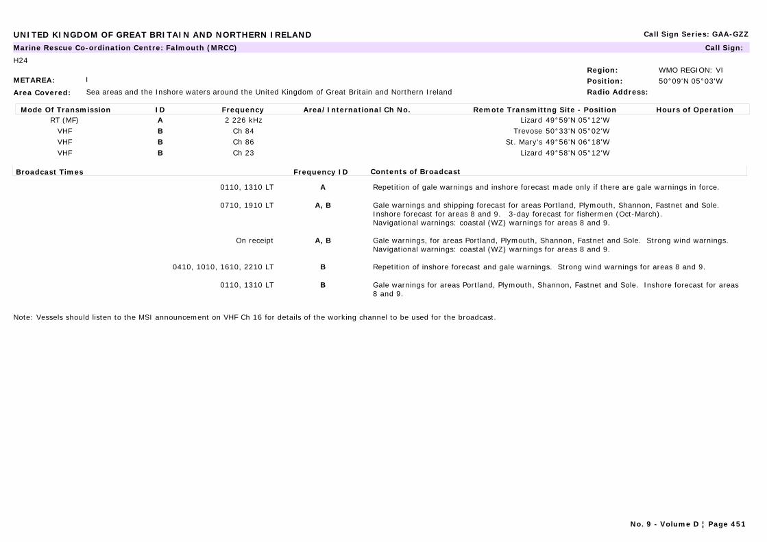
UNITED KINGDOM OF GREAT BRITAIN AND NORTHERN IRELAND Call Sign Series: GAA-GZZ
METAREA: I
Area Covered: Sea areas and the Inshore waters around the United Kingdom of Great Britain and Northern Ireland
Region: WMO REGION: VIPosition: 50°09'N 05°03'WRadio Address:
Marine Rescue Co-ordination Centre: Falmouth (MRCC) Call Sign:
H24
Mode Of Transmission ID Frequency Area/International Ch No. Remote Transmittng Site - Position Hours of OperationRT (MF) A 2 226 kHz Lizard 49°59'N 05°12'W
VHF B Ch 84 Trevose 50°33'N 05°02'WVHF B Ch 86 St. Mary's 49°56'N 06°18'WVHF B Ch 23 Lizard 49°58'N 05°12'W
Broadcast Times Frequency ID Contents of Broadcast
0110, 1310 LT A Repetition of gale warnings and inshore forecast made only if there are gale warnings in force.
0710, 1910 LT A, B Gale warnings and shipping forecast for areas Portland, Plymouth, Shannon, Fastnet and Sole. Inshore forecast for areas 8 and 9. 3-day forecast for fishermen (Oct-March).Navigational warnings: coastal (WZ) warnings for areas 8 and 9.
On receipt A, B Gale warnings, for areas Portland, Plymouth, Shannon, Fastnet and Sole. Strong wind warnings.Navigational warnings: coastal (WZ) warnings for areas 8 and 9.
0410, 1010, 1610, 2210 LT B Repetition of inshore forecast and gale warnings. Strong wind warnings for areas 8 and 9.
0110, 1310 LT B Gale warnings for areas Portland, Plymouth, Shannon, Fastnet and Sole. Inshore forecast for areas 8 and 9.
Note: Vessels should listen to the MSI announcement on VHF Ch 16 for details of the working channel to be used for the broadcast.
No. 9 - Volume D ¦ Page 451

UNITED KINGDOM OF GREAT BRITAIN AND NORTHERN IRELAND Call Sign Series: GAA-GZZ
METAREA: I
Area Covered: Sea areas and the Inshore waters around the United Kingdom of Great Britain and Northern Ireland
Region: WMO REGION: VIPosition: 56°16'N 02°35'WRadio Address:
Marine Rescue Co-ordination Centre: Forth (MRSC) Call Sign:
H24
Mode Of Transmission ID Frequency Area/International Ch No. Remote Transmittng Site - Position Hours of OperationVHF A Ch 86 St Abbs 55°54'N 02°12'WVHF A Ch 23 Inverbervie 56°51'N 02°16'WVHF A Ch 84 Fife Ness 56°17'N 02°35'WVHF A Ch 23 Craigkelly 56°04'N 03°14'W
Broadcast Times Frequency ID Contents of Broadcast
0430, 1030, 1630, 2230 LT A Repetition of inshore forecast and gale warnings. Strong wind warnings for areas 1 and 2.
0130, 1330 LT A Gale warnings for areas: Fair Isle, Cromarty, Forth, Forties and Tyne. Inshore forecast for areas 1 and 2.
0730, 1930 LT A Gale warnings and shipping forecast for areas: Fair Isle, Cromarty, Forth, Forties and Tyne. Inshore forecast for areas 1 and 2. 3-day forecast for fishermen (Oct-March).Navigational warnings: coastal (WZ) warnings for areas 1 and 2.
On receipt A Gale warnings for areas: Fair Isle, Cromarty, Forth, Forties and Tyne. Strong wind warnings.Navigational warnings: coastal (WZ) warnings for areas 1 and 2.
Note: Vessels should listen to the MSI announcement on VHF Ch 16 for details of the working channel to be used for the broadcast.
No. 9 - Volume D ¦ Page 452
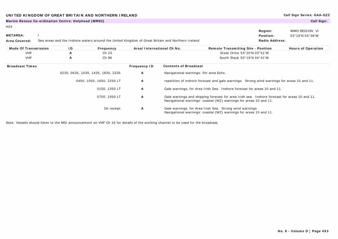
UNITED KINGDOM OF GREAT BRITAIN AND NORTHERN IRELAND Call Sign Series: GAA-GZZ
METAREA: I
Area Covered: Sea areas and the Inshore waters around the United Kingdom of Great Britain and Northern Ireland
Region: WMO REGION: VIPosition: 53°19'N 04°38'WRadio Address:
Marine Rescue Co-ordination Centre: Holyhead (MRSC) Call Sign:
H24
Mode Of Transmission ID Frequency Area/International Ch No. Remote Transmittng Site - Position Hours of OperationVHF A Ch 23 Great Orme 53°20'N 03°51'WVHF A Ch 86 South Stack 53°19'N 04°41'W
Broadcast Times Frequency ID Contents of Broadcast
0235, 0635, 1035, 1435, 1835, 2235 A Navigational warnings: For area Echo.
0450, 1050, 1650, 2250 LT A repetition of inshore forecast and gale warnings. Strong wind warnings for areas 10 and 11.
0150, 1350 LT A Gale warnings, for Area Irish Sea. Inshore forecast for areas 10 and 11.
0750, 1950 LT A Gale warnings and shipping forecast for area Irish sea. Inshore forecast for areas 10 and 11.Navigational warnings: coastal (WZ) warnings for areas 10 and 11.
On receipt A Gale warnings, for Area Irish Sea. Strong wind warnings.Navigational warnings: coastal (WZ) warnings for areas 10 and 11.
Note: Vessels should listen to the MSI announcement on VHF Ch 16 for details of the working channel to be used for the broadcast.
No. 9 - Volume D ¦ Page 453
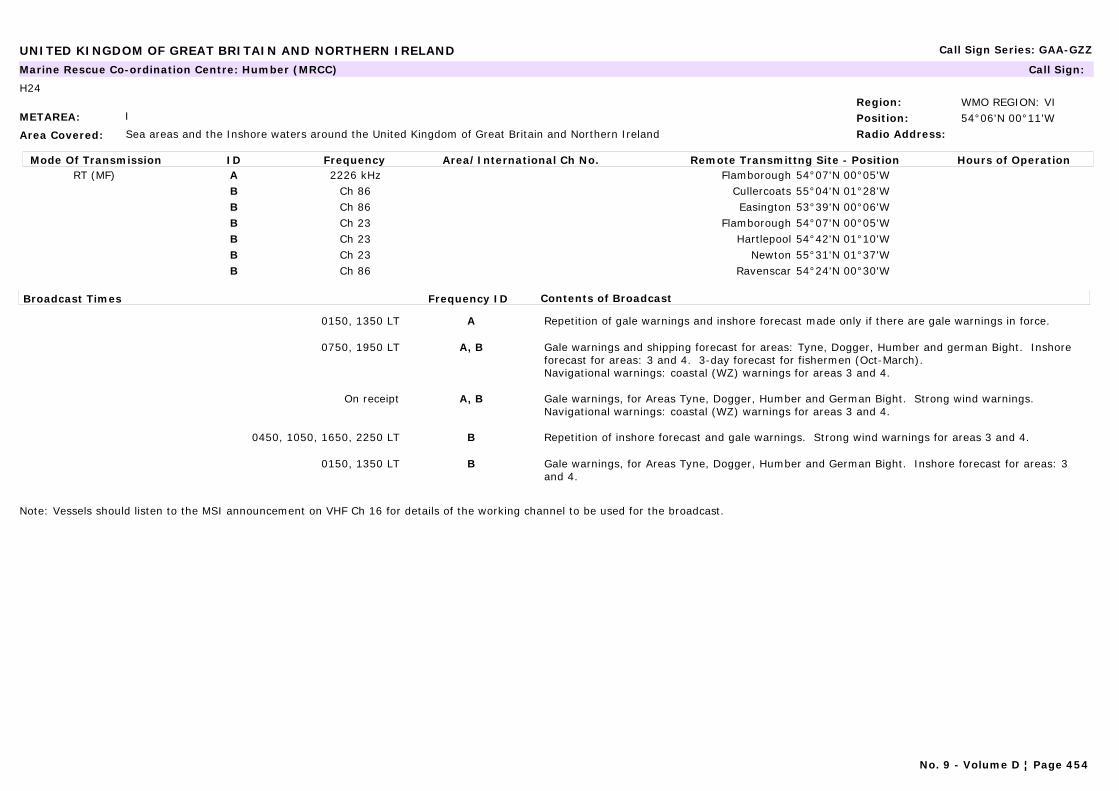
UNITED KINGDOM OF GREAT BRITAIN AND NORTHERN IRELAND Call Sign Series: GAA-GZZ
METAREA: I
Area Covered: Sea areas and the Inshore waters around the United Kingdom of Great Britain and Northern Ireland
Region: WMO REGION: VIPosition: 54°06'N 00°11'WRadio Address:
Marine Rescue Co-ordination Centre: Humber (MRCC) Call Sign:
H24
Mode Of Transmission ID Frequency Area/International Ch No. Remote Transmittng Site - Position Hours of OperationRT (MF) A 2226 kHz Flamborough 54°07'N 00°05'W
B Ch 86 Cullercoats 55°04'N 01°28'WB Ch 86 Easington 53°39'N 00°06'WB Ch 23 Flamborough 54°07'N 00°05'WB Ch 23 Hartlepool 54°42'N 01°10'WB Ch 23 Newton 55°31'N 01°37'WB Ch 86 Ravenscar 54°24'N 00°30'W
Broadcast Times Frequency ID Contents of Broadcast
0150, 1350 LT A Repetition of gale warnings and inshore forecast made only if there are gale warnings in force.
0750, 1950 LT A, B Gale warnings and shipping forecast for areas: Tyne, Dogger, Humber and german Bight. Inshore forecast for areas: 3 and 4. 3-day forecast for fishermen (Oct-March).Navigational warnings: coastal (WZ) warnings for areas 3 and 4.
On receipt A, B Gale warnings, for Areas Tyne, Dogger, Humber and German Bight. Strong wind warnings.Navigational warnings: coastal (WZ) warnings for areas 3 and 4.
0450, 1050, 1650, 2250 LT B Repetition of inshore forecast and gale warnings. Strong wind warnings for areas 3 and 4.
0150, 1350 LT B Gale warnings, for Areas Tyne, Dogger, Humber and German Bight. Inshore forecast for areas: 3 and 4.
Note: Vessels should listen to the MSI announcement on VHF Ch 16 for details of the working channel to be used for the broadcast.
No. 9 - Volume D ¦ Page 454

UNITED KINGDOM OF GREAT BRITAIN AND NORTHERN IRELAND Call Sign Series: GAA-GZZ
METAREA: I
Area Covered: Sea areas and the Inshore waters around the United Kingdom of Great Britain and Northern Ireland
Region: WMO REGION: VIPosition: 53°30'N 03°03'WRadio Address:
Marine Rescue Co-ordination Centre: Liverpool (MRSC) Call Sign:
H24
Mode Of Transmission ID Frequency Area/International Ch No. Remote Transmittng Site - Position Hours of OperationVHF A Ch 86 Snaefell 54°16'N 04°28'WVHF A Ch 23 Moel-y-parc 53°13'N 03°18'WVHF A Ch 84 Langthwaite 54°02'N 02°46'WVHF A Ch 23 Caldbeck 54°46'N 03°05'W
Broadcast Times Frequency ID Contents of Broadcast
0430, 1030, 1630, 2230 LT A Repetition of inshore forecast and gale warnings. Strong wind warnings for areas 11 and 12.
0130, 1330 LT A Gale warnings, for Area: Irish Sea. Inshore forecast for areas 11 and 12.
0730, 1930 LT A Gale warnings and shipping forecast for area Irish Sea. Inshore forecast for areas 11 and 12.Navigational warnings: Coastal (WZ) warnings for areas 11 and 12.
On receipt A Gale warnings, for Area: Irish Sea. Strong wind warnings.Navigational warnings: Coastal (WZ) warnings for areas 11 and 12.
Note: Vessels should listen to the MSI announcement on VHF Ch 16 for details of the working channel to be used for the broadcast.
No. 9 - Volume D ¦ Page 455
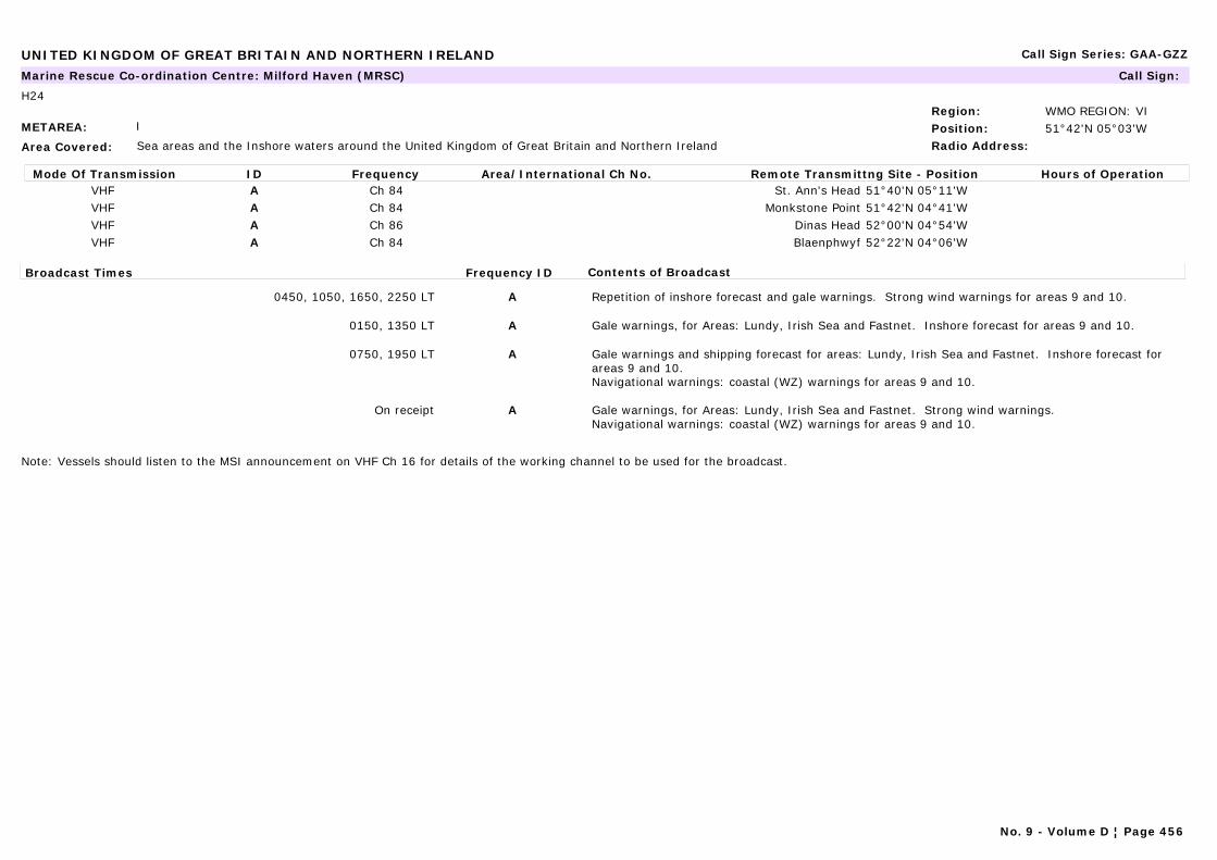
UNITED KINGDOM OF GREAT BRITAIN AND NORTHERN IRELAND Call Sign Series: GAA-GZZ
METAREA: I
Area Covered: Sea areas and the Inshore waters around the United Kingdom of Great Britain and Northern Ireland
Region: WMO REGION: VIPosition: 51°42'N 05°03'WRadio Address:
Marine Rescue Co-ordination Centre: Milford Haven (MRSC) Call Sign:
H24
Mode Of Transmission ID Frequency Area/International Ch No. Remote Transmittng Site - Position Hours of OperationVHF A Ch 84 St. Ann's Head 51°40'N 05°11'WVHF A Ch 84 Monkstone Point 51°42'N 04°41'WVHF A Ch 86 Dinas Head 52°00'N 04°54'WVHF A Ch 84 Blaenphwyf 52°22'N 04°06'W
Broadcast Times Frequency ID Contents of Broadcast
0450, 1050, 1650, 2250 LT A Repetition of inshore forecast and gale warnings. Strong wind warnings for areas 9 and 10.
0150, 1350 LT A Gale warnings, for Areas: Lundy, Irish Sea and Fastnet. Inshore forecast for areas 9 and 10.
0750, 1950 LT A Gale warnings and shipping forecast for areas: Lundy, Irish Sea and Fastnet. Inshore forecast for areas 9 and 10.Navigational warnings: coastal (WZ) warnings for areas 9 and 10.
On receipt A Gale warnings, for Areas: Lundy, Irish Sea and Fastnet. Strong wind warnings.Navigational warnings: coastal (WZ) warnings for areas 9 and 10.
Note: Vessels should listen to the MSI announcement on VHF Ch 16 for details of the working channel to be used for the broadcast.
No. 9 - Volume D ¦ Page 456
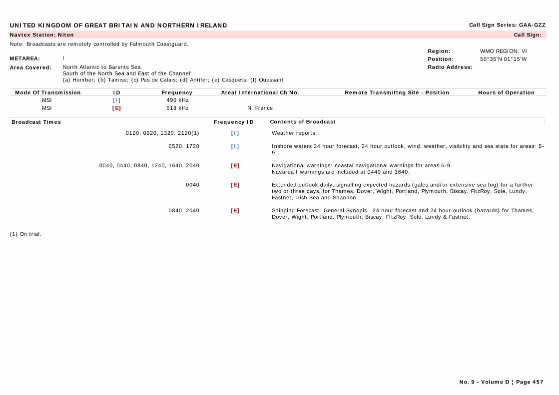
UNITED KINGDOM OF GREAT BRITAIN AND NORTHERN IRELAND Call Sign Series: GAA-GZZ
METAREA: I
Area Covered: North Atlantic to Barents SeaSouth of the North Sea and East of the Channel:(a) Humber; (b) Tamise; (c) Pas de Calais; (d) Antifer; (e) Casquets; (f) Ouessant
Region: WMO REGION: VIPosition: 50°35'N 01°15'WRadio Address:
Navtex Station: Niton Call Sign:
Note: Broadcasts are remotely controlled by Falmouth Coastguard.
Mode Of Transmission ID Frequency Area/International Ch No. Remote Transmittng Site - Position Hours of OperationMSI [I] 490 kHzMSI [E] 518 kHz N. France
Broadcast Times Frequency ID Contents of Broadcast
0120, 0920, 1320, 2120(1) [I] Weather reports.
0520, 1720 [I] Inshore waters 24 hour forecast, 24 hour outlook, wind, weather, visibility and sea state for areas: 5-9.
0040, 0440, 0840, 1240, 1640, 2040 [E] Navigational warnings: coastal navigational warnings for areas 6-9.Navarea I warnings are included at 0440 and 1640.
0040 [E] Extended outlook daily, signalling expected hazards (gales and/or extensive sea fog) for a further two or three days, for Thames, Dover, Wight, Portland, Plymouth, Biscay, FitzRoy, Sole, Lundy, Fastnet, Irish Sea and Shannon.
0840, 2040 [E] Shipping Forecast: General Synopis. 24 hour forecast and 24 hour outlook (hazards) for Thames, Dover, Wight, Portland, Plymouth, Biscay, FItzRoy, Sole, Lundy & Fastnet.
(1) On trial.
No. 9 - Volume D ¦ Page 457
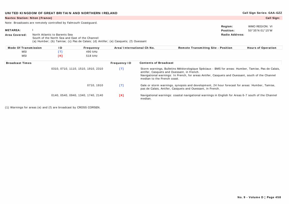
UNITED KINGDOM OF GREAT BRITAIN AND NORTHERN IRELAND Call Sign Series: GAA-GZZ
METAREA: I
Area Covered: North Atlantic to Barents SeaSouth of the North Sea and East of the Channel:(a) Humber; (b) Tamise; (c) Pas de Calais; (d) Antifer; (e) Casquets; (f) Ouessant
Region: WMO REGION: VIPosition: 50°35'N 01°15'WRadio Address:
Navtex Station: Niton (France) Call Sign:
Note: Broadcasts are remotely controlled by Falmouth Coastguard.
Mode Of Transmission ID Frequency Area/International Ch No. Remote Transmittng Site - Position Hours of OperationMSI [T] 490 kHzMSI [K] 518 kHz
Broadcast Times Frequency ID Contents of Broadcast
0310, 0710, 1110, 1510, 1910, 2310 [T] Storm warnings, Bulletins Météorologique Spéciaux - BMS for areas: Humber, Tamise, Pas de Calais, antifer, Casquets and Ouessant, in French.Navigational warnings: In French, for areas Antifer, Casquets and Ouessant, south of the Channel median to the French coast.
0710, 1910 [T] Gale or storm warnings, synopsis and development, 24 hour forecast for areas: Humber, Tamise, pas de Calais, Antifer, Casquets and Ouessant, in French.
0140, 0540, 0940, 1340, 1740, 2140 [K] Navigational warnings: coastal navigational warnings in English for Areas 6-7 south of the Channel median.
(1) Warnings for areas (e) and (f) are broadcast by CROSS CORSEN.
No. 9 - Volume D ¦ Page 458
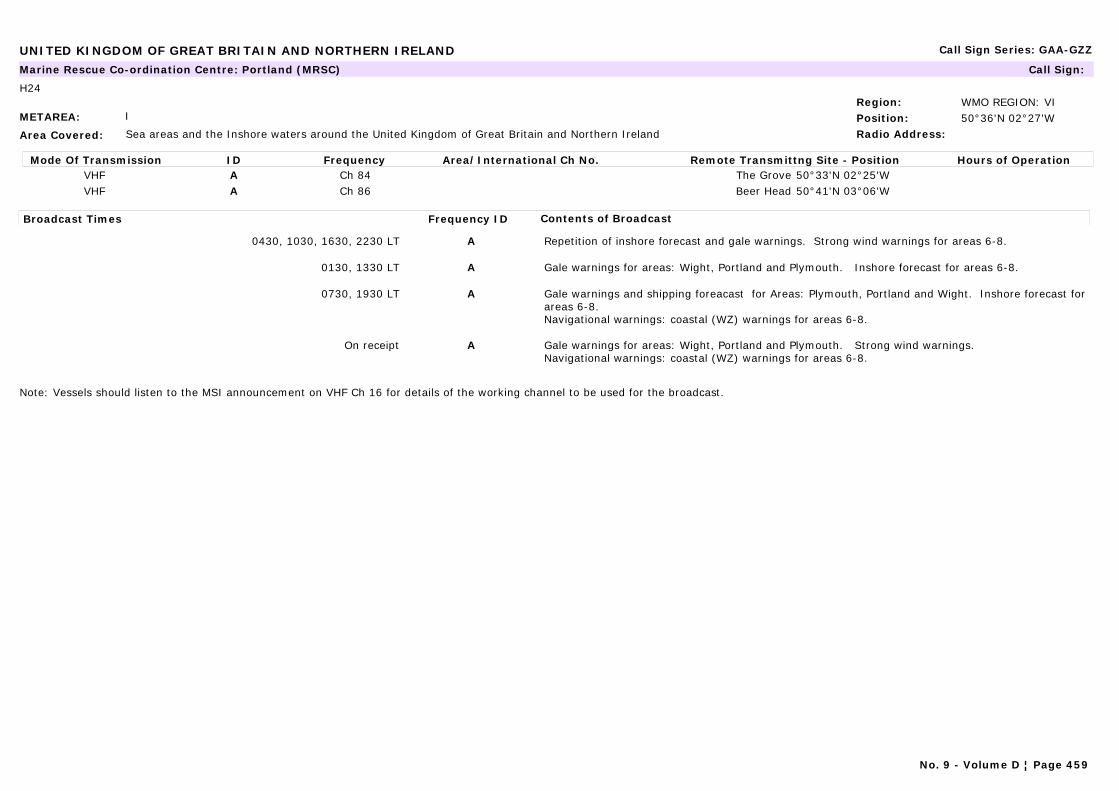
UNITED KINGDOM OF GREAT BRITAIN AND NORTHERN IRELAND Call Sign Series: GAA-GZZ
METAREA: I
Area Covered: Sea areas and the Inshore waters around the United Kingdom of Great Britain and Northern Ireland
Region: WMO REGION: VIPosition: 50°36'N 02°27'WRadio Address:
Marine Rescue Co-ordination Centre: Portland (MRSC) Call Sign:
H24
Mode Of Transmission ID Frequency Area/International Ch No. Remote Transmittng Site - Position Hours of OperationVHF A Ch 84 The Grove 50°33'N 02°25'WVHF A Ch 86 Beer Head 50°41'N 03°06'W
Broadcast Times Frequency ID Contents of Broadcast
0430, 1030, 1630, 2230 LT A Repetition of inshore forecast and gale warnings. Strong wind warnings for areas 6-8.
0130, 1330 LT A Gale warnings for areas: Wight, Portland and Plymouth. Inshore forecast for areas 6-8.
0730, 1930 LT A Gale warnings and shipping foreacast for Areas: Plymouth, Portland and Wight. Inshore forecast for areas 6-8. Navigational warnings: coastal (WZ) warnings for areas 6-8.
On receipt A Gale warnings for areas: Wight, Portland and Plymouth. Strong wind warnings.Navigational warnings: coastal (WZ) warnings for areas 6-8.
Note: Vessels should listen to the MSI announcement on VHF Ch 16 for details of the working channel to be used for the broadcast.
No. 9 - Volume D ¦ Page 459

UNITED KINGDOM OF GREAT BRITAIN AND NORTHERN IRELAND Call Sign Series: GAA-GZZ
METAREA: I
Area Covered: Scotland (North Atlantic to Barents Sea)Lundy, Fastnet, Irish Sea, Rockall, Malin, Hebrides, Bailey, Fair Isle. Faeroes, South-east Iceland (Extended outlook includes additionally sea area Shannon)
Region: WMO REGION: VIPosition: 54°51'N 05°07'WRadio Address:
Navtex Station: Portpatrick Call Sign:
Note: Broadcasts are remotely controlled by Falmouth Coastguard.
Mode Of Transmission ID Frequency Area/International Ch No. Remote Transmittng Site - Position Hours of OperationMSI [C] 490 kHzMSI [O] 518 kHz
Broadcast Times Frequency ID Contents of Broadcast
0820, 2020 [C] Inshore waters 24 hour forecast, 24 hours outlook, wind, weather, visibility and sea state for areas: 9-17.
0220, 0620, 1020, 1420, 1820, 2220 [O] Navigational warnings: coastal navigational warnings for Areas 10-16.Navarea I Warnings area included at 0220 and 1420.
0200 [O] Extended outlook daily, signalling expected hazards (gales and/or extensive sea fog) for a further two or three days, for Lundy, Fastnet, Irish Sea, Shannon, Rockall, Malin, Hebrides, Fair Isle, Faeroes and SE Iceland. In English.
0620, 1820 [O] Shipping forecast: gale warnings, general synopsis, 24 hour forecast and 24 hour outlook (hazards) for Lundy, Fastnet, Irish Sea, Rockall, Malin, Hebrides, Bailey, Fair Isle, Faeroes and SE Iceland.
No. 9 - Volume D ¦ Page 460
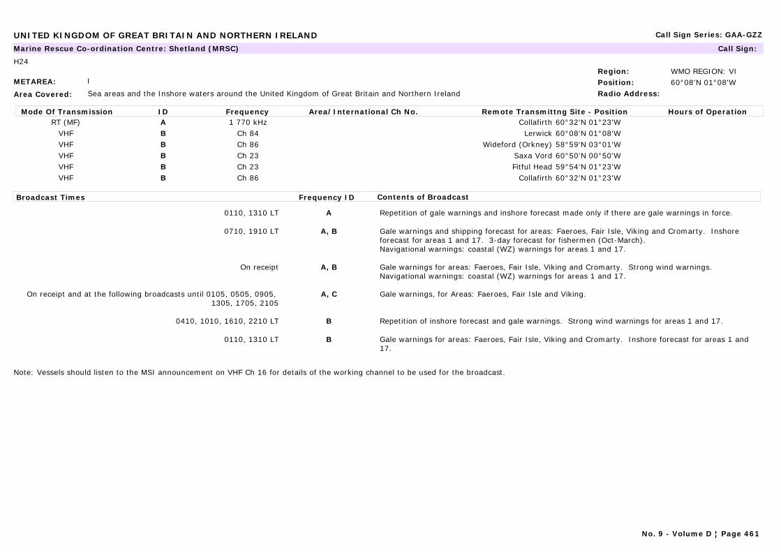
UNITED KINGDOM OF GREAT BRITAIN AND NORTHERN IRELAND Call Sign Series: GAA-GZZ
METAREA: I
Area Covered: Sea areas and the Inshore waters around the United Kingdom of Great Britain and Northern Ireland
Region: WMO REGION: VIPosition: 60°08'N 01°08'WRadio Address:
Marine Rescue Co-ordination Centre: Shetland (MRSC) Call Sign:
H24
Mode Of Transmission ID Frequency Area/International Ch No. Remote Transmittng Site - Position Hours of OperationRT (MF) A 1 770 kHz Collafirth 60°32'N 01°23'W
VHF B Ch 84 Lerwick 60°08'N 01°08'WVHF B Ch 86 Wideford (Orkney) 58°59'N 03°01'WVHF B Ch 23 Saxa Vord 60°50'N 00°50'WVHF B Ch 23 Fitful Head 59°54'N 01°23'WVHF B Ch 86 Collafirth 60°32'N 01°23'W
Broadcast Times Frequency ID Contents of Broadcast
0110, 1310 LT A Repetition of gale warnings and inshore forecast made only if there are gale warnings in force.
0710, 1910 LT A, B Gale warnings and shipping forecast for areas: Faeroes, Fair Isle, Viking and Cromarty. Inshore forecast for areas 1 and 17. 3-day forecast for fishermen (Oct-March).Navigational warnings: coastal (WZ) warnings for areas 1 and 17.
On receipt A, B Gale warnings for areas: Faeroes, Fair Isle, Viking and Cromarty. Strong wind warnings.Navigational warnings: coastal (WZ) warnings for areas 1 and 17.
On receipt and at the following broadcasts until 0105, 0505, 0905, 1305, 1705, 2105
A, C Gale warnings, for Areas: Faeroes, Fair Isle and Viking.
0410, 1010, 1610, 2210 LT B Repetition of inshore forecast and gale warnings. Strong wind warnings for areas 1 and 17.
0110, 1310 LT B Gale warnings for areas: Faeroes, Fair Isle, Viking and Cromarty. Inshore forecast for areas 1 and 17.
Note: Vessels should listen to the MSI announcement on VHF Ch 16 for details of the working channel to be used for the broadcast.
No. 9 - Volume D ¦ Page 461

UNITED KINGDOM OF GREAT BRITAIN AND NORTHERN IRELAND Call Sign Series: GAA-GZZ
METAREA: I
Area Covered: Sea areas and the Inshore waters around the United Kingdom of Great Britain and Northern Ireland
Region: WMO REGION: VIPosition: 50°48'N 01°13'WRadio Address:
Marine Rescue Co-ordination Centre: Solent (MRSC) Call Sign:
H24
Mode Of Transmission ID Frequency Area/International Ch No. Remote Transmittng Site - Position Hours of OperationVHF A Ch 86 Newhaven 50°47'N 00°03'EVHF A Ch 86 Needles 50°39'N 01°35'WVHF A Ch 23 Boniface Down 50°36'N 01°12'W
Broadcast Times Frequency ID Contents of Broadcast
0430, 1030, 1630, 2230 LT A Repetition of inshore forecast and gale warnings. Strong wind warnings for areas 6-8.
0130, 1330 LT A Gale warnings, for Areas: Wight, Portland and Plymouth. Inshore forecast for areas 6-8.
0730, 1930 LT A Gale warnings and shipping forecast for areas: Wight, Portland and Plymouth. Inshore forecast for areas 6-8.Navigational warnings: Coastal (WZ) for areas 6-8.
On receipt A Gale warnings, for Areas: Wight, Portland and Plymouth. Strong wind warnings.Navigational warnings: Coastal (WZ) for areas 6-8.
Note: Vessels should listen to the MSI announcement on VHF Ch 16 for details of the working channel to be used for the broadcast.
No. 9 - Volume D ¦ Page 462
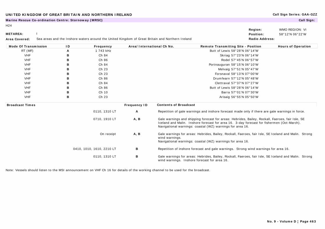
UNITED KINGDOM OF GREAT BRITAIN AND NORTHERN IRELAND Call Sign Series: GAA-GZZ
METAREA: I
Area Covered: Sea areas and the Inshore waters around the United Kingdom of Great Britain and Northern Ireland
Region: WMO REGION: VIPosition: 58°12'N 06°22'WRadio Address:
Marine Rescue Co-ordination Centre: Stornoway (MRSC) Call Sign:
H24
Mode Of Transmission ID Frequency Area/International Ch No. Remote Transmittng Site - Position Hours of OperationRT (MF) A 1 743 kHz Butt of Lewis 58°28'N 06°14'W
VHF B Ch 84 Skriag 57°23'N 06°14'WVHF B Ch 86 Rodel 57°45'N 06°57'WVHF B Ch 84 Portnauguran 58°15'N 06°10'WVHF B Ch 23 Melvaig 57°51'N 05°47'WVHF B Ch 23 Forsnaval 58°13'N 07°00'WVHF B Ch 86 Drumfearn 57°12'N 05°48'WVHF B Ch 84 Clettraval 57°37'N 07°27'WVHF B Ch 86 Butt of Lewis 58°28'N 06°14'WVHF B Ch 10 Barra 57°01'N 07°30'WVHF B Ch 23 Arisaig 56°55'N 05°50'W
Broadcast Times Frequency ID Contents of Broadcast
0110, 1310 LT A Repetition of gale warnings and inshore forecast made only if there are gale warnings in force.
0710, 1910 LT A, B Gale warnings and shipping forecast for areas: Hebrides, Bailey, Rockall, Faeroes, fair Isle, SE Iceland and Malin. Inshore forecast for area 16. 3-day forecast for fishermen (Oct-March).Navigational warnings: coastal (WZ) warnings for area 16.
On receipt A, B Gale warnings for areas: Hebrides, Bailey, Rockall, Faeroes, fair Isle, SE Iceland and Malin. Strong wind warnings. Navigational warnings: coastal (WZ) warnings for area 16.
0410, 1010, 1610, 2210 LT B Repetition of inshore forecast and gale warnings. Strong wind warnings for area 16.
0110, 1310 LT B Gale warnings for areas: Hebrides, Bailey, Rockall, Faeroes, fair Isle, SE Iceland and Malin. Strong wind warnings. Inshore forecast for area 16.
Note: Vessels should listen to the MSI announcement on VHF Ch 16 for details of the working channel to be used for the broadcast.
No. 9 - Volume D ¦ Page 463

UNITED KINGDOM OF GREAT BRITAIN AND NORTHERN IRELAND Call Sign Series: GAA-GZZ
METAREA: I
Area Covered: Sea areas and the Inshore waters around the United Kingdom of Great Britain and Northern Ireland
Region: WMO REGION: VIPosition: 51°34'N 03°59'WRadio Address:
Marine Rescue Co-ordination Centre: Swansea (MRCC) Call Sign:
H24
Mode Of Transmission ID Frequency Area/International Ch No. Remote Transmittng Site - Position Hours of OperationVHF A Ch 86 Severn Bridges 51°37'N 02°39'WVHF A Ch 23 St. Hillary 51°27'N 03°24'WVHF A Ch 86 Mumbles 51°34'N 03°59'WVHF A Ch 86 Hartland Point 51°01'N 04°31'WVHF A Ch 23 Combe Martin 51°10'N 04°03'W
Broadcast Times Frequency ID Contents of Broadcast
0450, 1050, 1650, 2250 LT A repetition of inshore forecast and gale warnings. Strong wind warnings for areas 9 and 10.
0150, 1350 LT A gale warnings for areas: Lundy, Fastnet and Irish Sea. Inshore forecast for areas 9 and 10.
0750, 1950 LT A Gale warnings and shipping forecast for areas: Lundy, Fastnet and Irish Sea. Inshore forecast for areas 9 and 10.Navigational warnings: Coastal (WZ) warnings for areas 9 and 10.
On receipt A Gale warnings, for Areas: Lundy, Fastnet and Irish Sea. Strong wind warnings. Navigational warnings: Coastal (WZ) warnings for areas 9 and 10.
Note: Vessels should listen to the MSI announcement on VHF Ch 16 for details of the working channel to be used for the broadcast.
No. 9 - Volume D ¦ Page 464
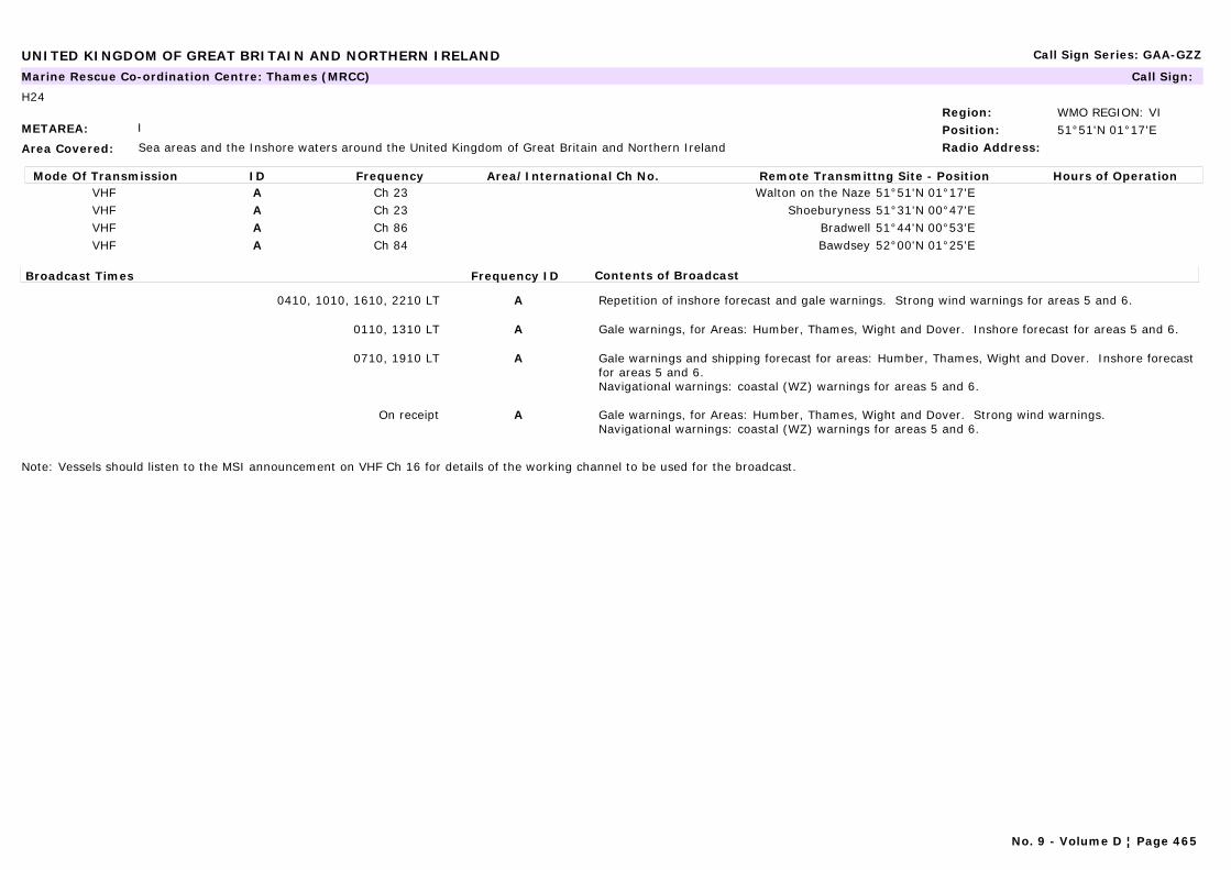
UNITED KINGDOM OF GREAT BRITAIN AND NORTHERN IRELAND Call Sign Series: GAA-GZZ
METAREA: I
Area Covered: Sea areas and the Inshore waters around the United Kingdom of Great Britain and Northern Ireland
Region: WMO REGION: VIPosition: 51°51'N 01°17'ERadio Address:
Marine Rescue Co-ordination Centre: Thames (MRCC) Call Sign:
H24
Mode Of Transmission ID Frequency Area/International Ch No. Remote Transmittng Site - Position Hours of OperationVHF A Ch 23 Walton on the Naze 51°51'N 01°17'EVHF A Ch 23 Shoeburyness 51°31'N 00°47'EVHF A Ch 86 Bradwell 51°44'N 00°53'EVHF A Ch 84 Bawdsey 52°00'N 01°25'E
Broadcast Times Frequency ID Contents of Broadcast
0410, 1010, 1610, 2210 LT A Repetition of inshore forecast and gale warnings. Strong wind warnings for areas 5 and 6.
0110, 1310 LT A Gale warnings, for Areas: Humber, Thames, Wight and Dover. Inshore forecast for areas 5 and 6.
0710, 1910 LT A Gale warnings and shipping forecast for areas: Humber, Thames, Wight and Dover. Inshore forecast for areas 5 and 6.Navigational warnings: coastal (WZ) warnings for areas 5 and 6.
On receipt A Gale warnings, for Areas: Humber, Thames, Wight and Dover. Strong wind warnings.Navigational warnings: coastal (WZ) warnings for areas 5 and 6.
Note: Vessels should listen to the MSI announcement on VHF Ch 16 for details of the working channel to be used for the broadcast.
No. 9 - Volume D ¦ Page 465

UNITED KINGDOM OF GREAT BRITAIN AND NORTHERN IRELAND Call Sign Series: GAA-GZZ
METAREA: I
Area Covered: North Atlantic to Barents Sea - Sea areas and the Inshore waters around the United Kingdom of Great Britain and Northern Ireland
Region: WMO REGION: VIPosition: 52°36'N 01°43'ERadio Address:
Marine Rescue Co-ordination Centre: Yarmouth (MRCC) Call Sign:
H24
Mode Of Transmission ID Frequency Area/International Ch No. Remote Transmittng Site - Position Hours of OperationVHF A Ch 23 Yarmouth 52°36'N 01°43'EVHF A Ch 23 Trimingham 52°55'N 01°21'EVHF A Ch 23 Lowestoft 52°29'N 01°46'EVHF A Ch 86 Langham 52°57'N 00°57'EVHF A Ch 23 Guy's Head 52°48'N 00°13'E
Broadcast Times Frequency ID Contents of Broadcast
On receipt and at the following broadcasts until 0040, 0440, 0840, 1240, 1640, 2040
A Navigational warnings for area: Juliett and Kilo.
0450, 1050, 1650, 2250 LT A Repetition of inshore forecast and gale warnings. Strong wind warnings for areas 4 and 5.
0150, 1350 LT A Gale warnings, for Areas: Humber and Thames. Inshore forecast for areas 4 and 5.
0750, 1950 LT A Gale warnings and shipping forecast for areas: Humber and Thames. Inshore forecast for areas 4 and 5.Navigational warnings: coastal (WZ) warnings for areas 4 and 5.
On receipt A Gale warnings, for Areas: Humber and Thames. Strong wind warnings.Navigational warnings: coastal (WZ) warnings for areas 4 and 5.
Note: Vessels should listen to the MSI announcement on VHF Ch 16 for details of the working channel to be used for the broadcast.
No. 9 - Volume D ¦ Page 466
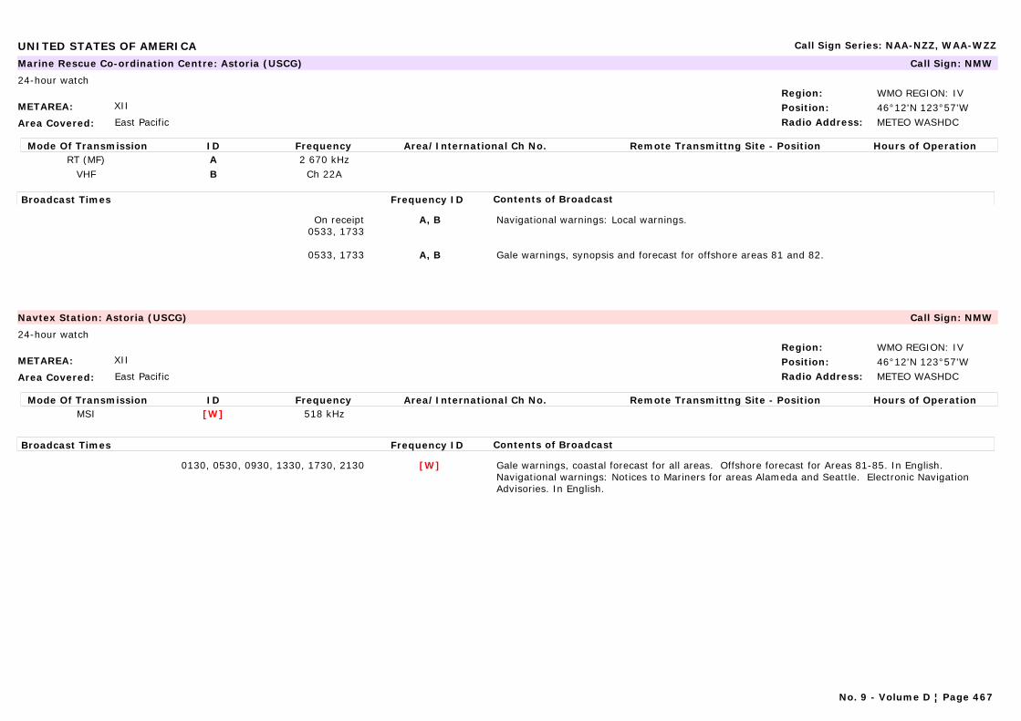
UNITED STATES OF AMERICA Call Sign Series: NAA-NZZ, WAA-WZZ
METAREA: XII
Area Covered: East Pacific
Region: WMO REGION: IVPosition: 46°12'N 123°57'WRadio Address: METEO WASHDC
Marine Rescue Co-ordination Centre: Astoria (USCG) Call Sign: NMW
24-hour watch
Mode Of Transmission ID Frequency Area/International Ch No. Remote Transmittng Site - Position Hours of OperationRT (MF) A 2 670 kHz
VHF B Ch 22A
Broadcast Times Frequency ID Contents of Broadcast
On receipt0533, 1733
A, B Navigational warnings: Local warnings.
0533, 1733 A, B Gale warnings, synopsis and forecast for offshore areas 81 and 82.
METAREA: XII
Area Covered: East Pacific
Region: WMO REGION: IVPosition: 46°12'N 123°57'WRadio Address: METEO WASHDC
Navtex Station: Astoria (USCG) Call Sign: NMW
24-hour watch
Mode Of Transmission ID Frequency Area/International Ch No. Remote Transmittng Site - Position Hours of OperationMSI [W] 518 kHz
Broadcast Times Frequency ID Contents of Broadcast
0130, 0530, 0930, 1330, 1730, 2130 [W] Gale warnings, coastal forecast for all areas. Offshore forecast for Areas 81-85. In English.Navigational warnings: Notices to Mariners for areas Alameda and Seattle. Electronic Navigation Advisories. In English.
No. 9 - Volume D ¦ Page 467
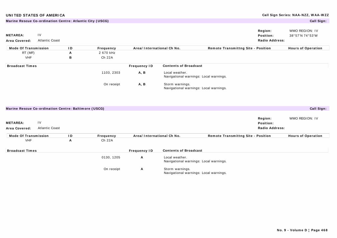
UNITED STATES OF AMERICA Call Sign Series: NAA-NZZ, WAA-WZZ
METAREA: IV
Area Covered: Atlantic Coast
Region: WMO REGION: IVPosition: 38°57'N 74°53'WRadio Address:
Marine Rescue Co-ordination Centre: Atlantic City (USCG) Call Sign:
Mode Of Transmission ID Frequency Area/International Ch No. Remote Transmittng Site - Position Hours of OperationRT (MF) A 2 670 kHz
VHF B Ch 22A
Broadcast Times Frequency ID Contents of Broadcast
1103, 2303 A, B Local weather.Navigational warnings: Local warnings.
On receipt A, B Storm warnings.Navigational warnings: Local warnings.
METAREA: IV
Area Covered: Atlantic Coast
Region: WMO REGION: IVPosition:Radio Address:
Marine Rescue Co-ordination Centre: Baltimore (USCG) Call Sign:
Mode Of Transmission ID Frequency Area/International Ch No. Remote Transmittng Site - Position Hours of OperationVHF A Ch 22A
Broadcast Times Frequency ID Contents of Broadcast
0130, 1205 A Local weather.Navigational warnings: Local warnings.
On receipt A Storm warnings.Navigational warnings: Local warnings.
No. 9 - Volume D ¦ Page 468
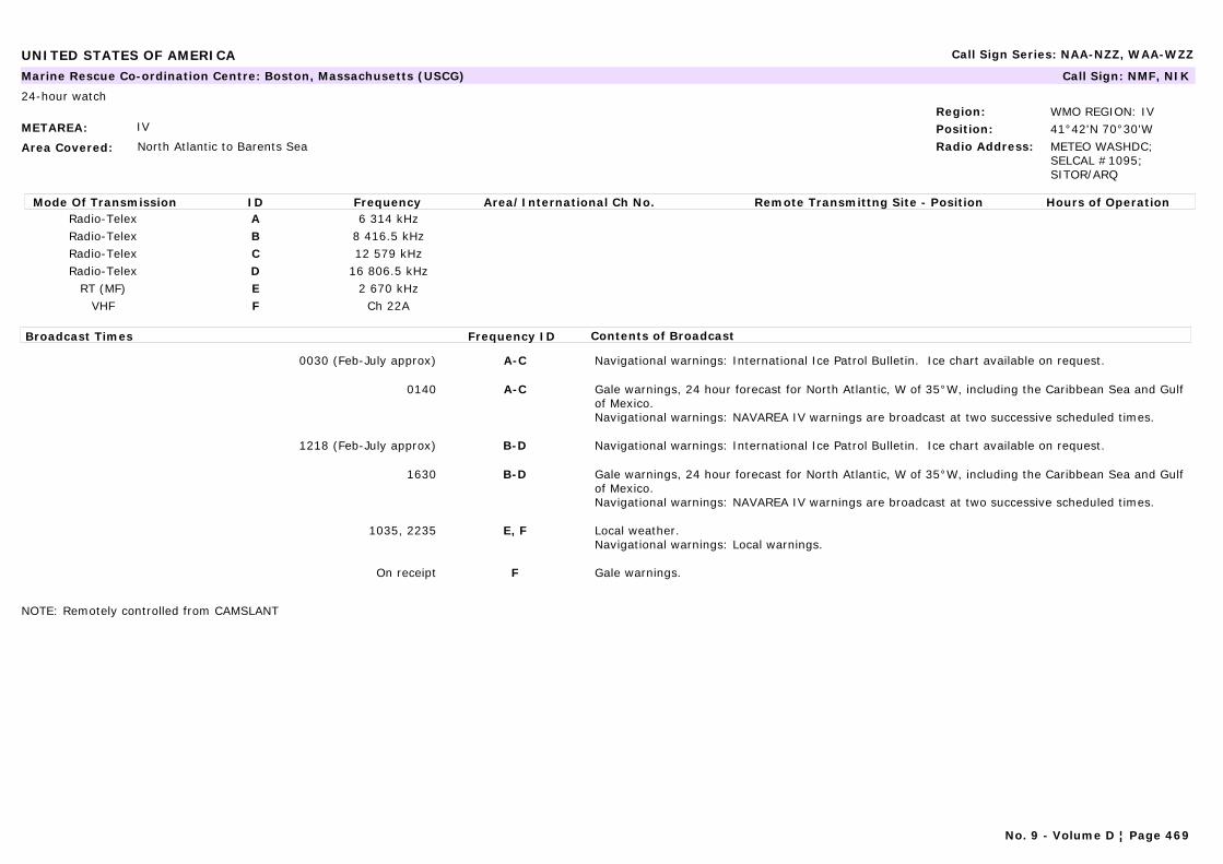
UNITED STATES OF AMERICA Call Sign Series: NAA-NZZ, WAA-WZZ
METAREA: IV
Area Covered: North Atlantic to Barents Sea
Region: WMO REGION: IVPosition: 41°42'N 70°30'WRadio Address: METEO WASHDC;
SELCAL #1095; SITOR/ARQ
Marine Rescue Co-ordination Centre: Boston, Massachusetts (USCG) Call Sign: NMF, NIK
24-hour watch
Mode Of Transmission ID Frequency Area/International Ch No. Remote Transmittng Site - Position Hours of OperationRadio-Telex A 6 314 kHzRadio-Telex B 8 416.5 kHzRadio-Telex C 12 579 kHzRadio-Telex D 16 806.5 kHz
RT (MF) E 2 670 kHzVHF F Ch 22A
Broadcast Times Frequency ID Contents of Broadcast
0030 (Feb-July approx) A-C Navigational warnings: International Ice Patrol Bulletin. Ice chart available on request.
0140 A-C Gale warnings, 24 hour forecast for North Atlantic, W of 35°W, including the Caribbean Sea and Gulf of Mexico.Navigational warnings: NAVAREA IV warnings are broadcast at two successive scheduled times.
1218 (Feb-July approx) B-D Navigational warnings: International Ice Patrol Bulletin. Ice chart available on request.
1630 B-D Gale warnings, 24 hour forecast for North Atlantic, W of 35°W, including the Caribbean Sea and Gulf of Mexico.Navigational warnings: NAVAREA IV warnings are broadcast at two successive scheduled times.
1035, 2235 E, F Local weather.Navigational warnings: Local warnings.
On receipt F Gale warnings.
NOTE: Remotely controlled from CAMSLANT
No. 9 - Volume D ¦ Page 469

UNITED STATES OF AMERICA Call Sign Series: NAA-NZZ, WAA-WZZ
METAREA: IV
Area Covered: North Atlantic to Barents Sea
Region: WMO REGION: IVPosition: 41°42'N 70°30'WRadio Address: METEO WASHDC;
SELCAL #1095; SITOR/ARQ
Navtex Station: Boston, Massachusetts (USCG) Call Sign: NMF, NIK
24-hour watch
Mode Of Transmission ID Frequency Area/International Ch No. Remote Transmittng Site - Position Hours of OperationMSI [F] 518 kHz
Broadcast Times Frequency ID Contents of Broadcast
0045, 0445, 0845, 1245, 1645, 2045(Feb-July approx)
[F] Navigational warnings: International Ice Patrol Bulletin. In English.
0045, 0445, 0845, 1245, 1645, 2045 [F] Gale warnings, synopsis and forecast. In English.Navigational warnings: For coastal waters. In English.
NOTE: Remotely controlled from CAMSLANT
METAREA: IV
Area Covered: Great Lakes
Region: WMO REGION: IVPosition:Radio Address:
Marine Rescue Co-ordination Centre: Buffalo (USCG) Call Sign: NMD47
Mode Of Transmission ID Frequency Area/International Ch No. Remote Transmittng Site - Position Hours of OperationVHF A Ch 22A
Broadcast Times Frequency ID Contents of Broadcast
0255, 1455 A Local weather.Navigational warnings: Local warnings.
On receipt A Gale warnings for Lakes Erie and Ontario.Navigational warnings: Local warnings.
No. 9 - Volume D ¦ Page 470
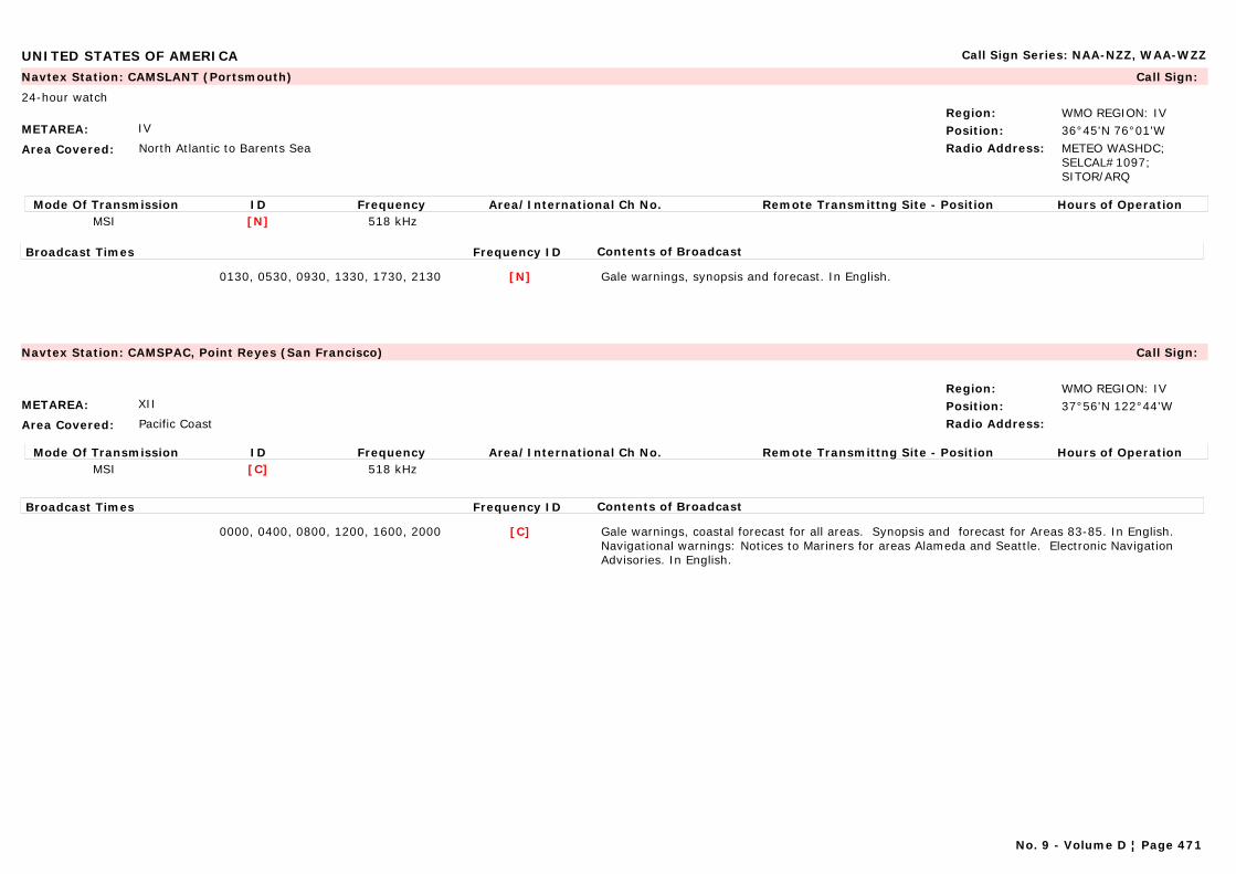
UNITED STATES OF AMERICA Call Sign Series: NAA-NZZ, WAA-WZZ
METAREA: IV
Area Covered: North Atlantic to Barents Sea
Region: WMO REGION: IVPosition: 36°45'N 76°01'WRadio Address: METEO WASHDC;
SELCAL#1097; SITOR/ARQ
Navtex Station: CAMSLANT (Portsmouth) Call Sign:
24-hour watch
Mode Of Transmission ID Frequency Area/International Ch No. Remote Transmittng Site - Position Hours of OperationMSI [N] 518 kHz
Broadcast Times Frequency ID Contents of Broadcast
0130, 0530, 0930, 1330, 1730, 2130 [N] Gale warnings, synopsis and forecast. In English.
METAREA: XII
Area Covered: Pacific Coast
Region: WMO REGION: IVPosition: 37°56'N 122°44'WRadio Address:
Navtex Station: CAMSPAC, Point Reyes (San Francisco) Call Sign:
Mode Of Transmission ID Frequency Area/International Ch No. Remote Transmittng Site - Position Hours of OperationMSI [C] 518 kHz
Broadcast Times Frequency ID Contents of Broadcast
0000, 0400, 0800, 1200, 1600, 2000 [C] Gale warnings, coastal forecast for all areas. Synopsis and forecast for Areas 83-85. In English.Navigational warnings: Notices to Mariners for areas Alameda and Seattle. Electronic Navigation Advisories. In English.
No. 9 - Volume D ¦ Page 471
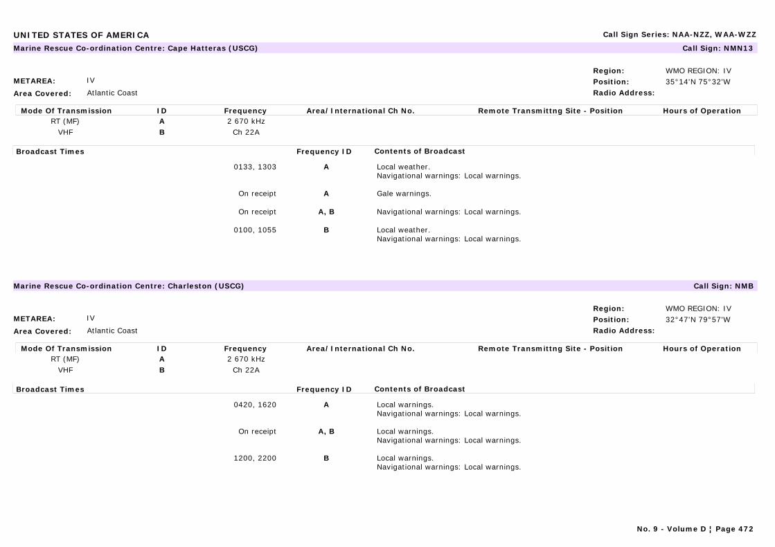
UNITED STATES OF AMERICA Call Sign Series: NAA-NZZ, WAA-WZZ
METAREA: IV
Area Covered: Atlantic Coast
Region: WMO REGION: IVPosition: 35°14'N 75°32'WRadio Address:
Marine Rescue Co-ordination Centre: Cape Hatteras (USCG) Call Sign: NMN13
Mode Of Transmission ID Frequency Area/International Ch No. Remote Transmittng Site - Position Hours of OperationRT (MF) A 2 670 kHz
VHF B Ch 22A
Broadcast Times Frequency ID Contents of Broadcast
0133, 1303 A Local weather.Navigational warnings: Local warnings.
On receipt A Gale warnings.
On receipt A, B Navigational warnings: Local warnings.
0100, 1055 B Local weather.Navigational warnings: Local warnings.
METAREA: IV
Area Covered: Atlantic Coast
Region: WMO REGION: IVPosition: 32°47'N 79°57'WRadio Address:
Marine Rescue Co-ordination Centre: Charleston (USCG) Call Sign: NMB
Mode Of Transmission ID Frequency Area/International Ch No. Remote Transmittng Site - Position Hours of OperationRT (MF) A 2 670 kHz
VHF B Ch 22A
Broadcast Times Frequency ID Contents of Broadcast
0420, 1620 A Local warnings.Navigational warnings: Local warnings.
On receipt A, B Local warnings.Navigational warnings: Local warnings.
1200, 2200 B Local warnings.Navigational warnings: Local warnings.
No. 9 - Volume D ¦ Page 472
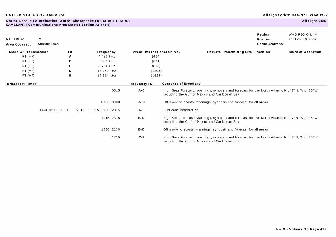
UNITED STATES OF AMERICA Call Sign Series: NAA-NZZ, WAA-WZZ
METAREA: IV
Area Covered: Atlantic Coast
Region: WMO REGION: IVPosition: 36°47'N 76°20'WRadio Address:
Marine Rescue Co-ordination Centre: Chesapeake (US COAST GUARD) CAMSLANT (Communications Area Master Station Atlantic)
Call Sign: NMN
Mode Of Transmission ID Frequency Area/International Ch No. Remote Transmittng Site - Position Hours of OperationRT (HF) A 4 426 kHz (424)RT (HF) B 6 501 kHz (601)RT (HF) C 8 764 kHz (816)RT (HF) D 13 089 kHz (1205)RT (HF) E 17 314 kHz (1625)
Broadcast Times Frequency ID Contents of Broadcast
0515 A-C High Seas Forecast: warnings, synopsis and forecast for the North Atlantic N of 7°N, W of 35°W including the Gulf of Mexico and Caribbean Sea.
0330, 0930 A-C Off shore forecasts: warnings, synopsis and forecast for all areas.
0330, 0515, 0930, 1115, 1530, 1715, 2130, 2315 A-E Hurricane information.
1115, 2315 B-D High Seas Forecast: warnings, synopsis and forecast for the North Atlantic N of 7°N, W of 35°W including the Gulf of Mexico and Caribbean Sea.
1530, 2130 B-D Off shore forecasts: warnings, synopsis and forecast for all areas.
1715 C-E High Seas Forecast: warnings, synopsis and forecast for the North Atlantic N of 7°N, W of 35°W including the Gulf of Mexico and Caribbean Sea.
No. 9 - Volume D ¦ Page 473
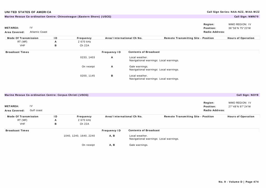
UNITED STATES OF AMERICA Call Sign Series: NAA-NZZ, WAA-WZZ
METAREA: IV
Area Covered: Atlantic Coast
Region: WMO REGION: IVPosition: 36°56'N 75°23'WRadio Address:
Marine Rescue Co-ordination Centre: Chincoteague (Eastern Shore) (USCG) Call Sign: NMN70
Mode Of Transmission ID Frequency Area/International Ch No. Remote Transmittng Site - Position Hours of OperationRT (MF) A 2 670 kHz
VHF B Ch 22A
Broadcast Times Frequency ID Contents of Broadcast
0233, 1403 A Local weather.Navigational warnings: Local warnings.
On receipt A Gale warnings.Navigational warnings: Local warnings.
0200, 1145 B Local weather.Navigational warnings: Local warnings.
METAREA: IV
Area Covered: Gulf coast
Region: WMO REGION: IVPosition: 27°48'N 97°24'WRadio Address:
Marine Rescue Co-ordination Centre: Corpus Christi (USCG) Call Sign: NOY8
Mode Of Transmission ID Frequency Area/International Ch No. Remote Transmittng Site - Position Hours of OperationRT (MF) A 2 670 kHz
VHF B Ch 22A
Broadcast Times Frequency ID Contents of Broadcast
1040, 1240, 1640, 2240 A, B Local weather.Navigational warnings: Local warnings.
On receipt A, B Gale warnings.
No. 9 - Volume D ¦ Page 474
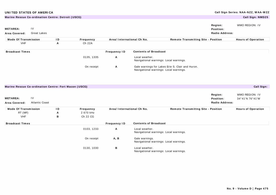
UNITED STATES OF AMERICA Call Sign Series: NAA-NZZ, WAA-WZZ
METAREA: IV
Area Covered: Great Lakes
Region: WMO REGION: IVPosition:Radio Address:
Marine Rescue Co-ordination Centre: Detroit (USCG) Call Sign: NMD25
Mode Of Transmission ID Frequency Area/International Ch No. Remote Transmittng Site - Position Hours of OperationVHF A Ch 22A
Broadcast Times Frequency ID Contents of Broadcast
0135, 1335 A Local weather.Navigational warnings: Local warnings.
On receipt A Gale warnings for Lakes Erie S. Clair and Huron.Navigational warnings: Local warnings.
METAREA: IV
Area Covered: Atlantic Coast
Region: WMO REGION: IVPosition: 34°41'N 76°41'WRadio Address:
Marine Rescue Co-ordination Centre: Fort Macon (USCG) Call Sign:
Mode Of Transmission ID Frequency Area/International Ch No. Remote Transmittng Site - Position Hours of OperationRT (MF) A 2 670 kHz
VHF B Ch 22 CG
Broadcast Times Frequency ID Contents of Broadcast
0103, 1233 A Local weather.Navigational warnings: Local warnings.
On receipt A, B Gale warnings.Navigational warnings: Local warnings.
0130, 1030 B Local weather.Navigational warnings: Local warnings.
No. 9 - Volume D ¦ Page 475
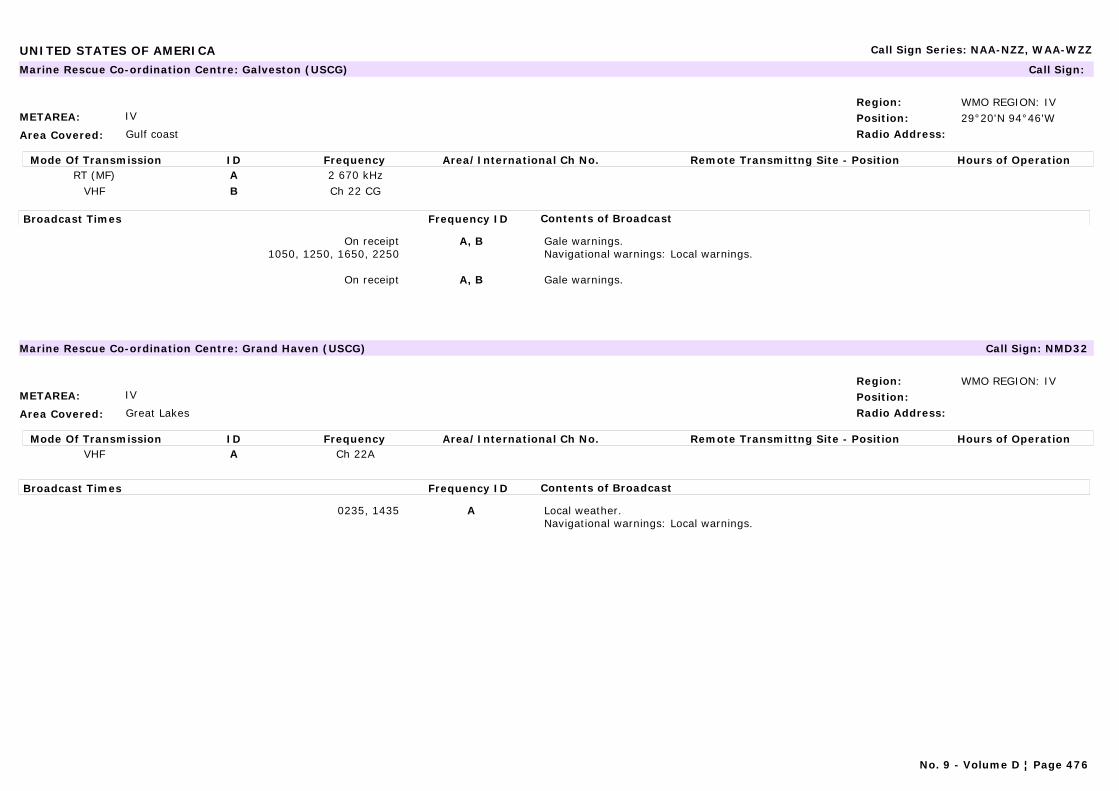
UNITED STATES OF AMERICA Call Sign Series: NAA-NZZ, WAA-WZZ
METAREA: IV
Area Covered: Gulf coast
Region: WMO REGION: IVPosition: 29°20'N 94°46'WRadio Address:
Marine Rescue Co-ordination Centre: Galveston (USCG) Call Sign:
Mode Of Transmission ID Frequency Area/International Ch No. Remote Transmittng Site - Position Hours of OperationRT (MF) A 2 670 kHz
VHF B Ch 22 CG
Broadcast Times Frequency ID Contents of Broadcast
On receipt1050, 1250, 1650, 2250
A, B Gale warnings.Navigational warnings: Local warnings.
On receipt A, B Gale warnings.
METAREA: IV
Area Covered: Great Lakes
Region: WMO REGION: IVPosition:Radio Address:
Marine Rescue Co-ordination Centre: Grand Haven (USCG) Call Sign: NMD32
Mode Of Transmission ID Frequency Area/International Ch No. Remote Transmittng Site - Position Hours of OperationVHF A Ch 22A
Broadcast Times Frequency ID Contents of Broadcast
0235, 1435 A Local weather.Navigational warnings: Local warnings.
No. 9 - Volume D ¦ Page 476
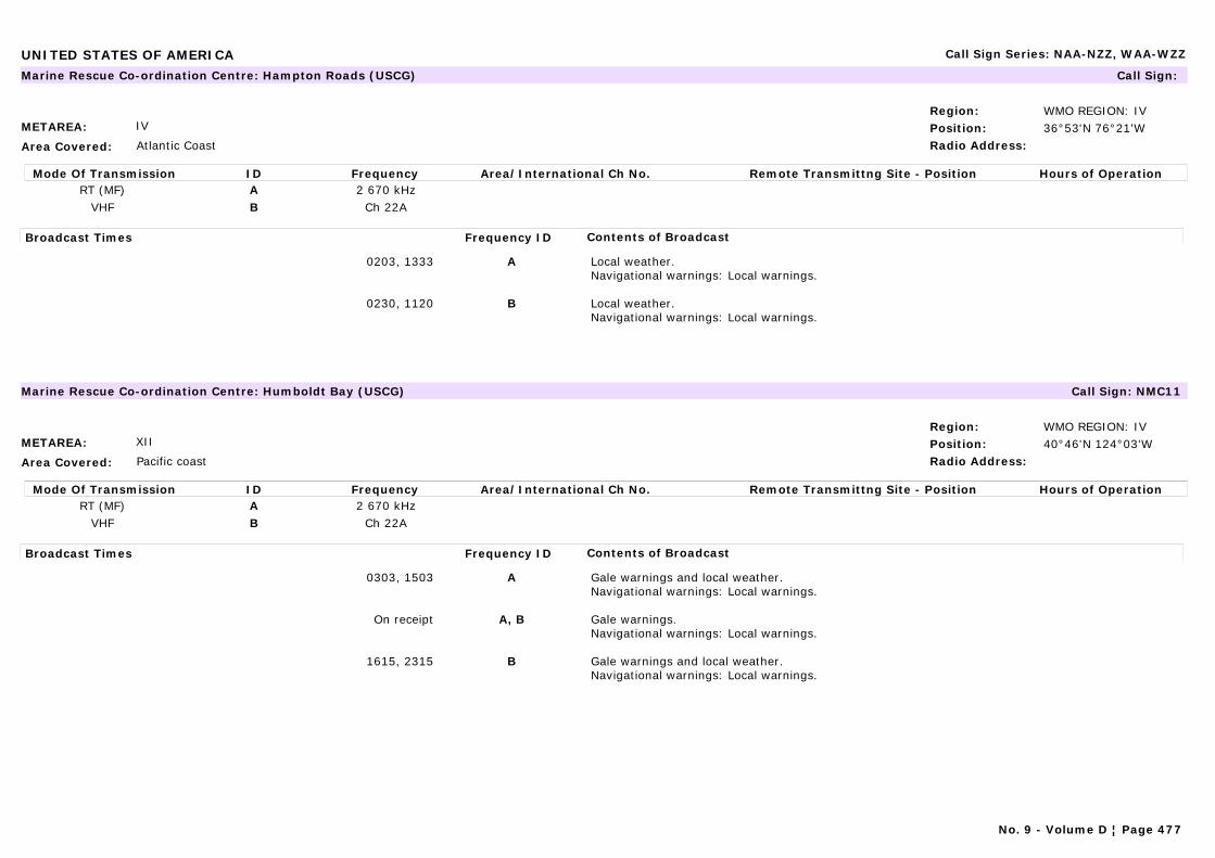
UNITED STATES OF AMERICA Call Sign Series: NAA-NZZ, WAA-WZZ
METAREA: IV
Area Covered: Atlantic Coast
Region: WMO REGION: IVPosition: 36°53'N 76°21'WRadio Address:
Marine Rescue Co-ordination Centre: Hampton Roads (USCG) Call Sign:
Mode Of Transmission ID Frequency Area/International Ch No. Remote Transmittng Site - Position Hours of OperationRT (MF) A 2 670 kHz
VHF B Ch 22A
Broadcast Times Frequency ID Contents of Broadcast
0203, 1333 A Local weather.Navigational warnings: Local warnings.
0230, 1120 B Local weather.Navigational warnings: Local warnings.
METAREA: XII
Area Covered: Pacific coast
Region: WMO REGION: IVPosition: 40°46'N 124°03'WRadio Address:
Marine Rescue Co-ordination Centre: Humboldt Bay (USCG) Call Sign: NMC11
Mode Of Transmission ID Frequency Area/International Ch No. Remote Transmittng Site - Position Hours of OperationRT (MF) A 2 670 kHz
VHF B Ch 22A
Broadcast Times Frequency ID Contents of Broadcast
0303, 1503 A Gale warnings and local weather.Navigational warnings: Local warnings.
On receipt A, B Gale warnings.Navigational warnings: Local warnings.
1615, 2315 B Gale warnings and local weather.Navigational warnings: Local warnings.
No. 9 - Volume D ¦ Page 477

UNITED STATES OF AMERICA Call Sign Series: NAA-NZZ, WAA-WZZ
METAREA: IV
Area Covered: Atlantic Coast
Region: WMO REGION: IVPosition:Radio Address:
Marine Rescue Co-ordination Centre: Key West (USCG) Call Sign: NOK
Mode Of Transmission ID Frequency Area/International Ch No. Remote Transmittng Site - Position Hours of OperationVHF A Ch 22A
Broadcast Times Frequency ID Contents of Broadcast
1200, 2200 A Local weather.Navigational warnings: Local warnings.
On receipt A Gale warnings.Navigational warnings: Local warnings.
METAREA: XII
Area Covered: Pacific Coast
Region: WMO REGION: IVPosition: 47°22'N 122°29'WRadio Address:
Maritime Radio Station: KKL Radio - Vashon Island Call Sign:
Mode Of Transmission ID Frequency Area/International Ch No. Remote Transmittng Site - Position Hours of OperationRT (HF) A 4 125 kHz 1400-0400RT (HF) B 12 103 kHz 1400-0400
Broadcast Times Frequency ID Contents of Broadcast
On request A, B Weather reports for the Gulf of alaska and Bering Sea to the International Dateline, coasts of Washington and Oregon out to 250 n miles, North Pacific to 55°N west to 180° and south to Equator.Navigational warnings: Navigational warnings: Local warnings for Washington and Oregon coastal waters. Ice Reports for Alaskan coastal waters.
No. 9 - Volume D ¦ Page 478
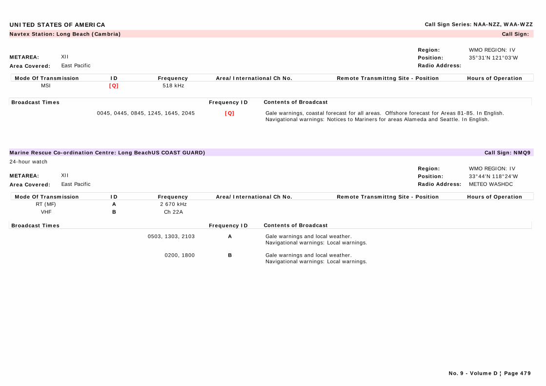
UNITED STATES OF AMERICA Call Sign Series: NAA-NZZ, WAA-WZZ
METAREA: XII
Area Covered: East Pacific
Region: WMO REGION: IVPosition: 35°31'N 121°03'WRadio Address:
Navtex Station: Long Beach (Cambria) Call Sign:
Mode Of Transmission ID Frequency Area/International Ch No. Remote Transmittng Site - Position Hours of OperationMSI [Q] 518 kHz
Broadcast Times Frequency ID Contents of Broadcast
0045, 0445, 0845, 1245, 1645, 2045 [Q] Gale warnings, coastal forecast for all areas. Offshore forecast for Areas 81-85. In English.Navigational warnings: Notices to Mariners for areas Alameda and Seattle. In English.
METAREA: XII
Area Covered: East Pacific
Region: WMO REGION: IVPosition: 33°44'N 118°24'WRadio Address: METEO WASHDC
Marine Rescue Co-ordination Centre: Long BeachUS COAST GUARD) Call Sign: NMQ9
24-hour watch
Mode Of Transmission ID Frequency Area/International Ch No. Remote Transmittng Site - Position Hours of OperationRT (MF) A 2 670 kHz
VHF B Ch 22A
Broadcast Times Frequency ID Contents of Broadcast
0503, 1303, 2103 A Gale warnings and local weather.Navigational warnings: Local warnings.
0200, 1800 B Gale warnings and local weather.Navigational warnings: Local warnings.
No. 9 - Volume D ¦ Page 479
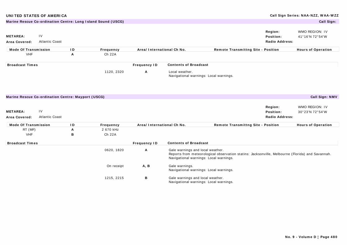
UNITED STATES OF AMERICA Call Sign Series: NAA-NZZ, WAA-WZZ
METAREA: IV
Area Covered: Atlantic Coast
Region: WMO REGION: IVPosition: 41°16'N 72°54'WRadio Address:
Marine Rescue Co-ordination Centre: Long Island Sound (USCG) Call Sign:
Mode Of Transmission ID Frequency Area/International Ch No. Remote Transmittng Site - Position Hours of OperationVHF A Ch 22A
Broadcast Times Frequency ID Contents of Broadcast
1120, 2320 A Local weather.Navigational warnings: Local warnings.
METAREA: IV
Area Covered: Atlantic Coast
Region: WMO REGION: IVPosition: 30°23'N 72°54'WRadio Address:
Marine Rescue Co-ordination Centre: Mayport (USCG) Call Sign: NMV
Mode Of Transmission ID Frequency Area/International Ch No. Remote Transmittng Site - Position Hours of OperationRT (MF) A 2 670 kHz
VHF B Ch 22A
Broadcast Times Frequency ID Contents of Broadcast
0620, 1820 A Gale warnings and local weather.Reports from meteorological observation statins: Jacksonville, Melbourne (Florida) and Savannah.Navigational warnings: Local warnings.
On receipt A, B Gale warnings.Navigational warnings: Local warnings.
1215, 2215 B Gale warnings and local weather.Navigational warnings: Local warnings.
No. 9 - Volume D ¦ Page 480
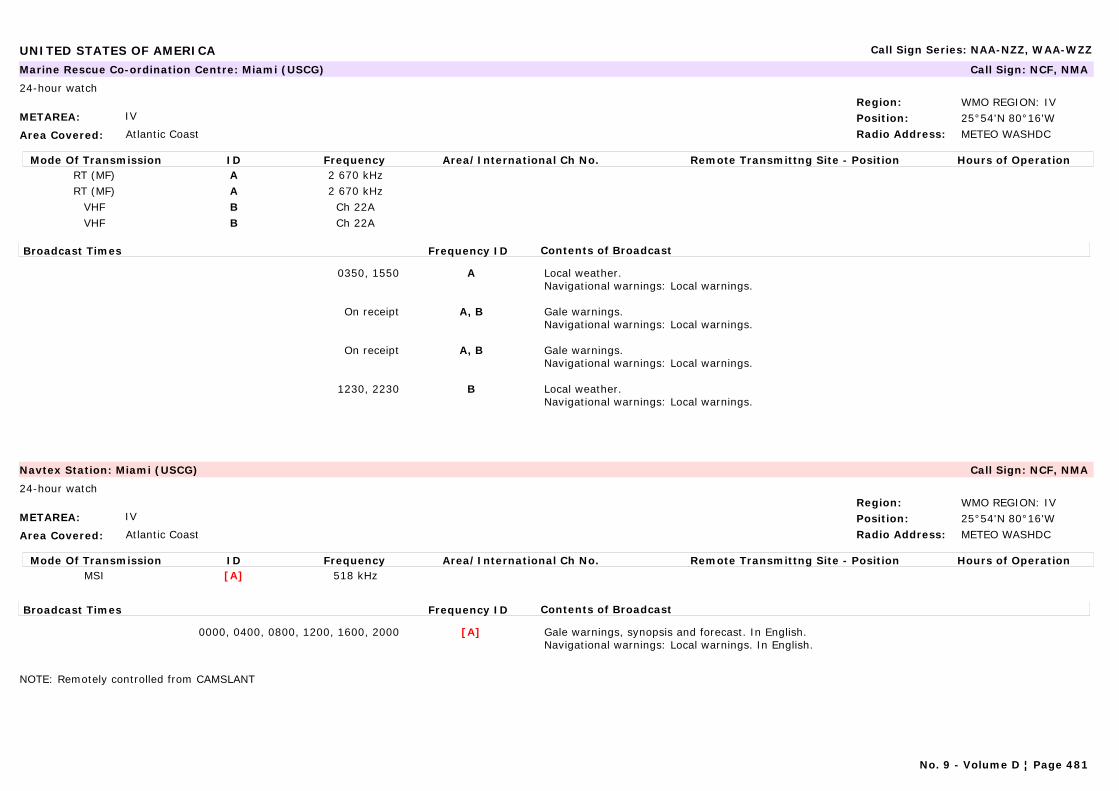
UNITED STATES OF AMERICA Call Sign Series: NAA-NZZ, WAA-WZZ
METAREA: IV
Area Covered: Atlantic Coast
Region: WMO REGION: IVPosition: 25°54'N 80°16'WRadio Address: METEO WASHDC
Marine Rescue Co-ordination Centre: Miami (USCG) Call Sign: NCF, NMA
24-hour watch
Mode Of Transmission ID Frequency Area/International Ch No. Remote Transmittng Site - Position Hours of OperationRT (MF) A 2 670 kHzRT (MF) A 2 670 kHz
VHF B Ch 22AVHF B Ch 22A
Broadcast Times Frequency ID Contents of Broadcast
0350, 1550 A Local weather.Navigational warnings: Local warnings.
On receipt A, B Gale warnings.Navigational warnings: Local warnings.
On receipt A, B Gale warnings.Navigational warnings: Local warnings.
1230, 2230 B Local weather.Navigational warnings: Local warnings.
METAREA: IV
Area Covered: Atlantic Coast
Region: WMO REGION: IVPosition: 25°54'N 80°16'WRadio Address: METEO WASHDC
Navtex Station: Miami (USCG) Call Sign: NCF, NMA
24-hour watch
Mode Of Transmission ID Frequency Area/International Ch No. Remote Transmittng Site - Position Hours of OperationMSI [A] 518 kHz
Broadcast Times Frequency ID Contents of Broadcast
0000, 0400, 0800, 1200, 1600, 2000 [A] Gale warnings, synopsis and forecast. In English.Navigational warnings: Local warnings. In English.
NOTE: Remotely controlled from CAMSLANT
No. 9 - Volume D ¦ Page 481

UNITED STATES OF AMERICA Call Sign Series: NAA-NZZ, WAA-WZZ
METAREA: IV
Area Covered: Great Lakes
Region: WMO REGION: IVPosition:Radio Address:
Marine Rescue Co-ordination Centre: Milwaukee (USCG) Call Sign: NMP9
Mode Of Transmission ID Frequency Area/International Ch No. Remote Transmittng Site - Position Hours of OperationVHF A Ch 22A
Broadcast Times Frequency ID Contents of Broadcast
0255, 1455 A Local weather.Navigational warnings: Local warnings.
On receipt A Gale warnings for Lake Michigan.
No. 9 - Volume D ¦ Page 482
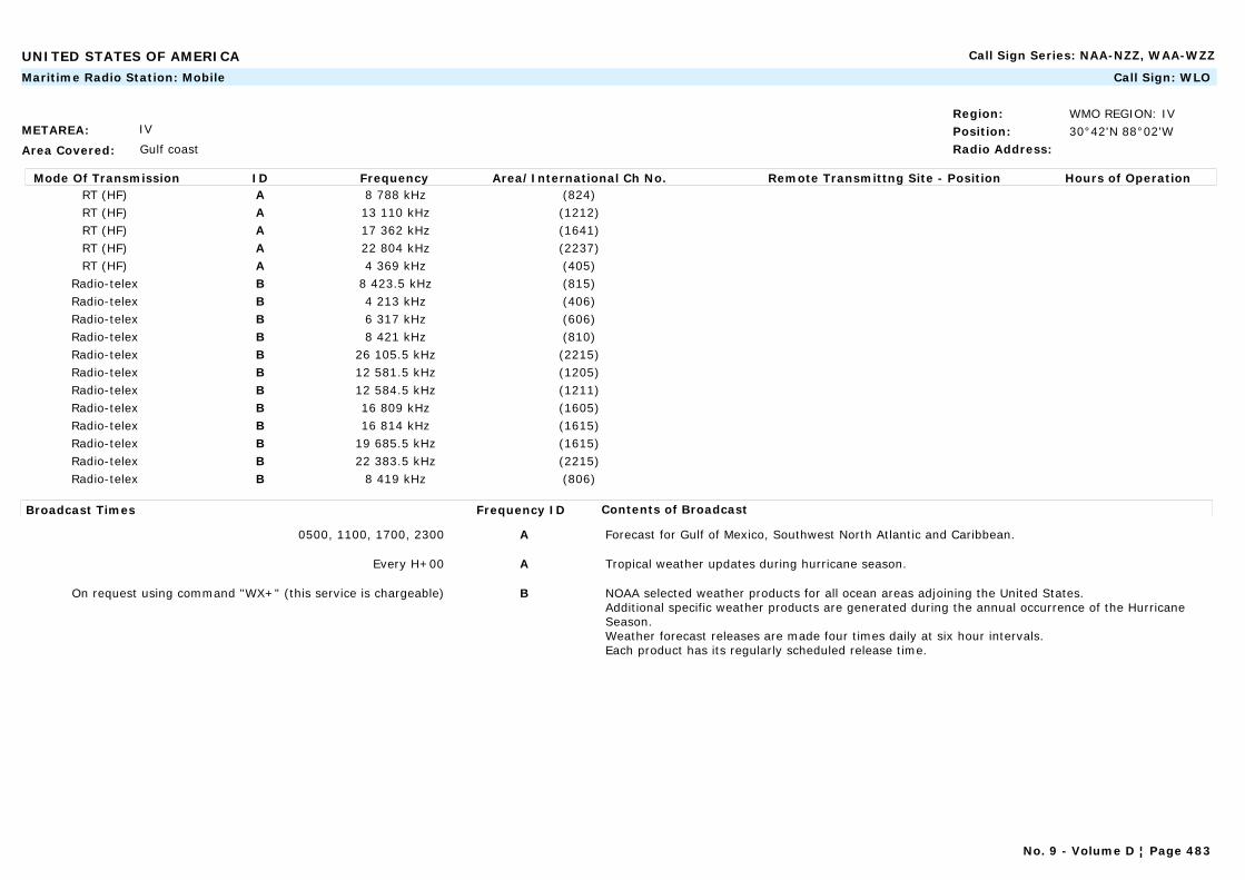
UNITED STATES OF AMERICA Call Sign Series: NAA-NZZ, WAA-WZZ
METAREA: IV
Area Covered: Gulf coast
Region: WMO REGION: IVPosition: 30°42'N 88°02'WRadio Address:
Maritime Radio Station: Mobile Call Sign: WLO
Mode Of Transmission ID Frequency Area/International Ch No. Remote Transmittng Site - Position Hours of OperationRT (HF) A 8 788 kHz (824)RT (HF) A 13 110 kHz (1212)RT (HF) A 17 362 kHz (1641)RT (HF) A 22 804 kHz (2237)RT (HF) A 4 369 kHz (405)
Radio-telex B 8 423.5 kHz (815)Radio-telex B 4 213 kHz (406)Radio-telex B 6 317 kHz (606)Radio-telex B 8 421 kHz (810)Radio-telex B 26 105.5 kHz (2215)Radio-telex B 12 581.5 kHz (1205)Radio-telex B 12 584.5 kHz (1211)Radio-telex B 16 809 kHz (1605)Radio-telex B 16 814 kHz (1615)Radio-telex B 19 685.5 kHz (1615)Radio-telex B 22 383.5 kHz (2215)Radio-telex B 8 419 kHz (806)
Broadcast Times Frequency ID Contents of Broadcast
0500, 1100, 1700, 2300 A Forecast for Gulf of Mexico, Southwest North Atlantic and Caribbean.
Every H+00 A Tropical weather updates during hurricane season.
On request using command "WX+" (this service is chargeable) B NOAA selected weather products for all ocean areas adjoining the United States.Additional specific weather products are generated during the annual occurrence of the Hurricane Season.Weather forecast releases are made four times daily at six hour intervals.Each product has its regularly scheduled release time.
No. 9 - Volume D ¦ Page 483
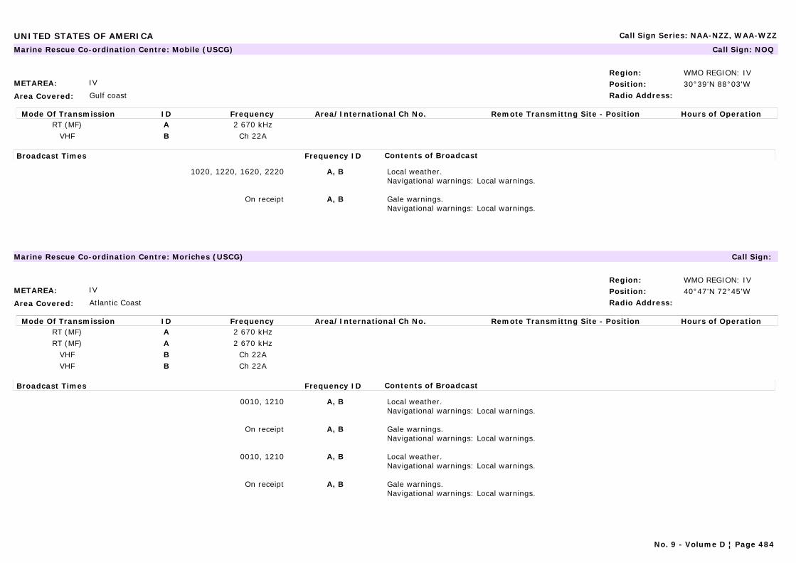
UNITED STATES OF AMERICA Call Sign Series: NAA-NZZ, WAA-WZZ
METAREA: IV
Area Covered: Gulf coast
Region: WMO REGION: IVPosition: 30°39'N 88°03'WRadio Address:
Marine Rescue Co-ordination Centre: Mobile (USCG) Call Sign: NOQ
Mode Of Transmission ID Frequency Area/International Ch No. Remote Transmittng Site - Position Hours of OperationRT (MF) A 2 670 kHz
VHF B Ch 22A
Broadcast Times Frequency ID Contents of Broadcast
1020, 1220, 1620, 2220 A, B Local weather.Navigational warnings: Local warnings.
On receipt A, B Gale warnings.Navigational warnings: Local warnings.
METAREA: IV
Area Covered: Atlantic Coast
Region: WMO REGION: IVPosition: 40°47'N 72°45'WRadio Address:
Marine Rescue Co-ordination Centre: Moriches (USCG) Call Sign:
Mode Of Transmission ID Frequency Area/International Ch No. Remote Transmittng Site - Position Hours of OperationRT (MF) A 2 670 kHzRT (MF) A 2 670 kHz
VHF B Ch 22AVHF B Ch 22A
Broadcast Times Frequency ID Contents of Broadcast
0010, 1210 A, B Local weather.Navigational warnings: Local warnings.
On receipt A, B Gale warnings.Navigational warnings: Local warnings.
0010, 1210 A, B Local weather.Navigational warnings: Local warnings.
On receipt A, B Gale warnings.Navigational warnings: Local warnings.
No. 9 - Volume D ¦ Page 484
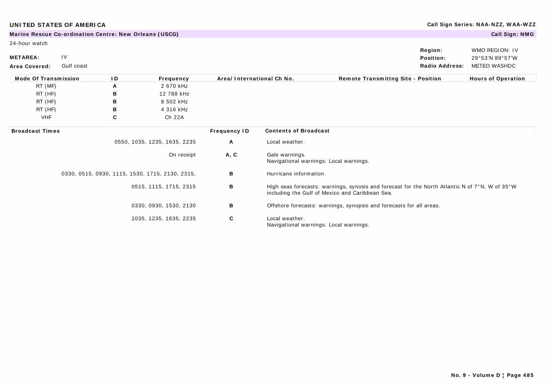
UNITED STATES OF AMERICA Call Sign Series: NAA-NZZ, WAA-WZZ
METAREA: IV
Area Covered: Gulf coast
Region: WMO REGION: IVPosition: 29°53'N 89°57'WRadio Address: METEO WASHDC
Marine Rescue Co-ordination Centre: New Orleans (USCG) Call Sign: NMG
24-hour watch
Mode Of Transmission ID Frequency Area/International Ch No. Remote Transmittng Site - Position Hours of OperationRT (MF) A 2 670 kHzRT (HF) B 12 788 kHzRT (HF) B 8 502 kHzRT (HF) B 4 316 kHz
VHF C Ch 22A
Broadcast Times Frequency ID Contents of Broadcast
0550, 1035, 1235, 1635, 2235 A Local weather.
On receipt A, C Gale warnings.Navigational warnings: Local warnings.
0330, 0515, 0930, 1115, 1530, 1715, 2130, 2315, B Hurricane information.
0515, 1115, 1715, 2315 B High seas forecasts: warnings, synosis and forecast for the North Atlantic N of 7°N, W of 35°W including the Gulf of Mexico and Caribbean Sea.
0330, 0930, 1530, 2130 B Offshore forecasts: warnings, synopsis and forecasts for all areas.
1035, 1235, 1635, 2235 C Local weather.Navigational warnings: Local warnings.
No. 9 - Volume D ¦ Page 485
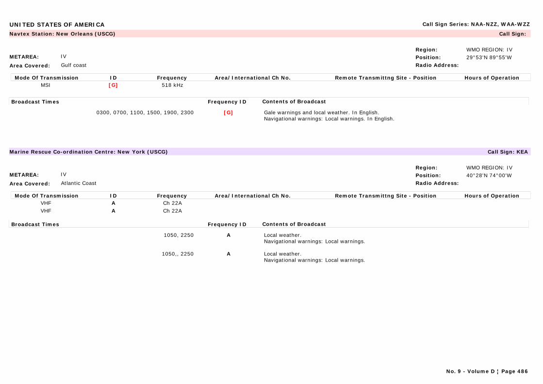
UNITED STATES OF AMERICA Call Sign Series: NAA-NZZ, WAA-WZZ
METAREA: IV
Area Covered: Gulf coast
Region: WMO REGION: IVPosition: 29°53'N 89°55'WRadio Address:
Navtex Station: New Orleans (USCG) Call Sign:
Mode Of Transmission ID Frequency Area/International Ch No. Remote Transmittng Site - Position Hours of OperationMSI [G] 518 kHz
Broadcast Times Frequency ID Contents of Broadcast
0300, 0700, 1100, 1500, 1900, 2300 [G] Gale warnings and local weather. In English.Navigational warnings: Local warnings. In English.
METAREA: IV
Area Covered: Atlantic Coast
Region: WMO REGION: IVPosition: 40°28'N 74°00'WRadio Address:
Marine Rescue Co-ordination Centre: New York (USCG) Call Sign: KEA
Mode Of Transmission ID Frequency Area/International Ch No. Remote Transmittng Site - Position Hours of OperationVHF A Ch 22AVHF A Ch 22A
Broadcast Times Frequency ID Contents of Broadcast
1050, 2250 A Local weather.Navigational warnings: Local warnings.
1050,, 2250 A Local weather.Navigational warnings: Local warnings.
No. 9 - Volume D ¦ Page 486
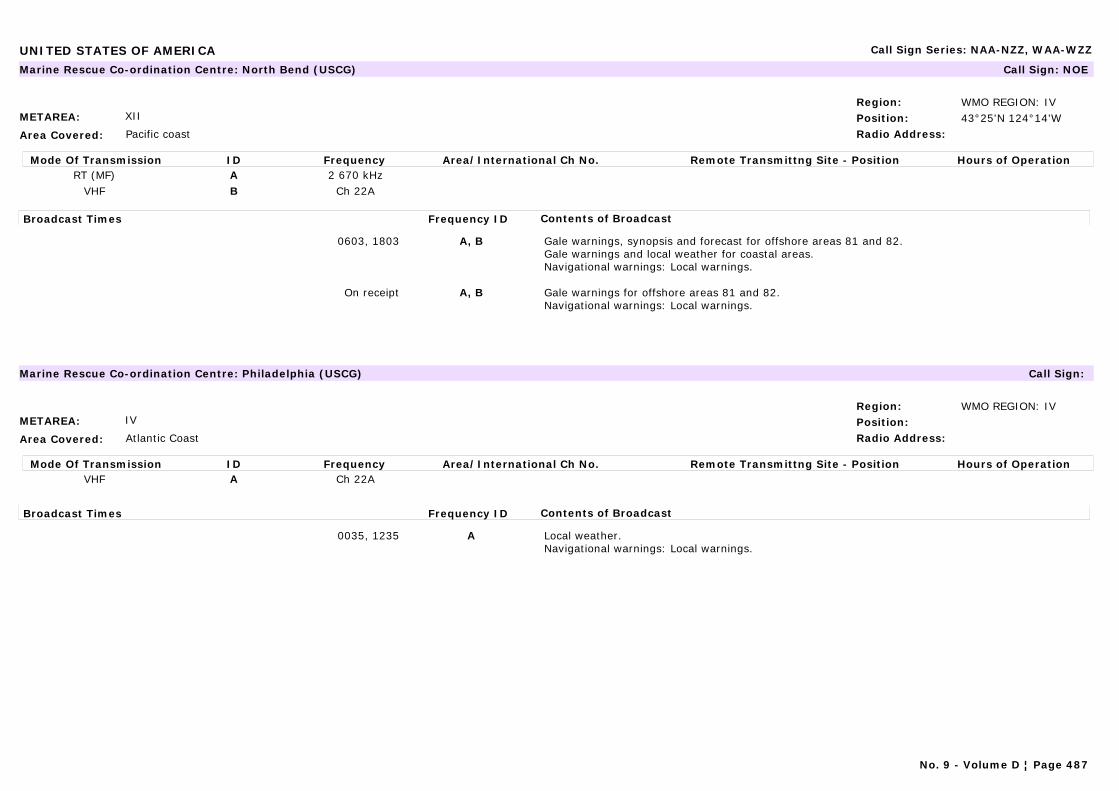
UNITED STATES OF AMERICA Call Sign Series: NAA-NZZ, WAA-WZZ
METAREA: XII
Area Covered: Pacific coast
Region: WMO REGION: IVPosition: 43°25'N 124°14'WRadio Address:
Marine Rescue Co-ordination Centre: North Bend (USCG) Call Sign: NOE
Mode Of Transmission ID Frequency Area/International Ch No. Remote Transmittng Site - Position Hours of OperationRT (MF) A 2 670 kHz
VHF B Ch 22A
Broadcast Times Frequency ID Contents of Broadcast
0603, 1803 A, B Gale warnings, synopsis and forecast for offshore areas 81 and 82.Gale warnings and local weather for coastal areas.Navigational warnings: Local warnings.
On receipt A, B Gale warnings for offshore areas 81 and 82.Navigational warnings: Local warnings.
METAREA: IV
Area Covered: Atlantic Coast
Region: WMO REGION: IVPosition:Radio Address:
Marine Rescue Co-ordination Centre: Philadelphia (USCG) Call Sign:
Mode Of Transmission ID Frequency Area/International Ch No. Remote Transmittng Site - Position Hours of OperationVHF A Ch 22A
Broadcast Times Frequency ID Contents of Broadcast
0035, 1235 A Local weather.Navigational warnings: Local warnings.
No. 9 - Volume D ¦ Page 487
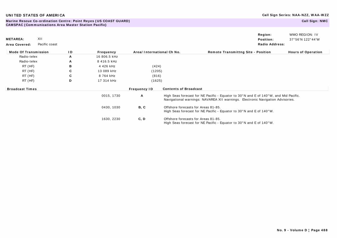
UNITED STATES OF AMERICA Call Sign Series: NAA-NZZ, WAA-WZZ
METAREA: XII
Area Covered: Pacific coast
Region: WMO REGION: IVPosition: 37°56'N 122°44'WRadio Address:
Marine Rescue Co-ordination Centre: Point Reyes (US COAST GUARD)CAMSPAC (Communications Area Master Station Pacific)
Call Sign: NMC
Mode Of Transmission ID Frequency Area/International Ch No. Remote Transmittng Site - Position Hours of OperationRadio-telex A 16 806.5 kHzRadio-telex A 8 416.5 kHz
RT (HF) B 4 426 kHz (424)RT (HF) C 13 089 kHz (1205)RT (HF) C 8 764 kHz (816)RT (HF) D 17 314 kHz (1625)
Broadcast Times Frequency ID Contents of Broadcast
0015, 1730 A High Seas forecast for NE Pacific - Equator to 30°N and E of 140°W, and Mid Pacific.Navigational warnings: NAVAREA XII warnings. Electronic Navigation Advisories.
0430, 1030 B, C Offshore forecasts for Areas 81-85.High Seas forecast for NE Pacific - Equator to 30°N and E of 140°W.
1630, 2230 C, D Offshore forecasts for Areas 81-85.High Seas forecast for NE Pacific - Equator to 30°N and E of 140°W.
No. 9 - Volume D ¦ Page 488
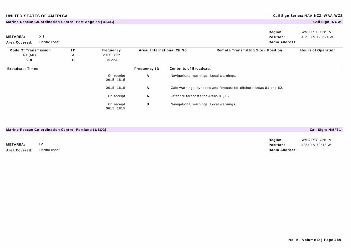
UNITED STATES OF AMERICA Call Sign Series: NAA-NZZ, WAA-WZZ
METAREA: XII
Area Covered: Pacific coast
Region: WMO REGION: IVPosition: 48°08'N 123°24'WRadio Address:
Marine Rescue Co-ordination Centre: Port Angeles (USCG) Call Sign: NOW
Mode Of Transmission ID Frequency Area/International Ch No. Remote Transmittng Site - Position Hours of OperationRT (MF) A 2 670 kHz
VHF B Ch 22A
Broadcast Times Frequency ID Contents of Broadcast
On receipt0615, 1815
A Navigational warnings: Local warnings.
0615, 1815 A Gale warnings, synopsis and forecast for offshore areas 81 and 82.
On receipt A Offshore forecasts for Areas 81, 82.
On receipt0615, 1815
B Navigational warnings: Local warnings.
METAREA: IV
Area Covered: Pacific coast
Region: WMO REGION: IVPosition: 43°40'N 70°15'WRadio Address:
Marine Rescue Co-ordination Centre: Portland (USCG) Call Sign: NMF31
No. 9 - Volume D ¦ Page 489
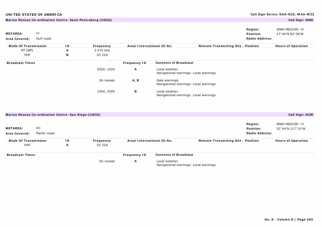
UNITED STATES OF AMERICA Call Sign Series: NAA-NZZ, WAA-WZZ
METAREA: IV
Area Covered: Gulf coast
Region: WMO REGION: IVPosition: 27°46'N 82°38'WRadio Address:
Marine Rescue Co-ordination Centre: Saint Petersburg (USCG) Call Sign: NME
Mode Of Transmission ID Frequency Area/International Ch No. Remote Transmittng Site - Position Hours of OperationRT (MF) A 2 670 kHz
VHF B Ch 22A
Broadcast Times Frequency ID Contents of Broadcast
0320, 1420 A Local weather.Navigational warnings: Local warnings.
On receipt A, B Gale warnings.Navigational warnings: Local warnings.
1300, 2300 B Local weather.Navigational warnings: Local warnings.
METAREA: XII
Area Covered: Pacific coast
Region: WMO REGION: IVPosition: 32°44'N 117°10'WRadio Address:
Marine Rescue Co-ordination Centre: San Diego (USCG) Call Sign: NOR
Mode Of Transmission ID Frequency Area/International Ch No. Remote Transmittng Site - Position Hours of OperationVHF A Ch 22A
Broadcast Times Frequency ID Contents of Broadcast
On receipt A Local weather.Navigational warnings: Local warnings.
No. 9 - Volume D ¦ Page 490
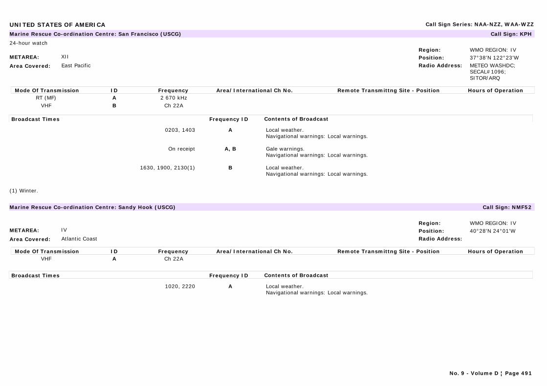
UNITED STATES OF AMERICA Call Sign Series: NAA-NZZ, WAA-WZZ
METAREA: XII
Area Covered: East Pacific
Region: WMO REGION: IVPosition: 37°38'N 122°23'WRadio Address: METEO WASHDC;
SECAL#1096; SITOR/ARQ
Marine Rescue Co-ordination Centre: San Francisco (USCG) Call Sign: KPH
24-hour watch
Mode Of Transmission ID Frequency Area/International Ch No. Remote Transmittng Site - Position Hours of OperationRT (MF) A 2 670 kHz
VHF B Ch 22A
Broadcast Times Frequency ID Contents of Broadcast
0203, 1403 A Local weather.Navigational warnings: Local warnings.
On receipt A, B Gale warnings.Navigational warnings: Local warnings.
1630, 1900, 2130(1) B Local weather.Navigational warnings: Local warnings.
(1) Winter.
METAREA: IV
Area Covered: Atlantic Coast
Region: WMO REGION: IVPosition: 40°28'N 24°01'WRadio Address:
Marine Rescue Co-ordination Centre: Sandy Hook (USCG) Call Sign: NMF52
Mode Of Transmission ID Frequency Area/International Ch No. Remote Transmittng Site - Position Hours of OperationVHF A Ch 22A
Broadcast Times Frequency ID Contents of Broadcast
1020, 2220 A Local weather.Navigational warnings: Local warnings.
No. 9 - Volume D ¦ Page 491
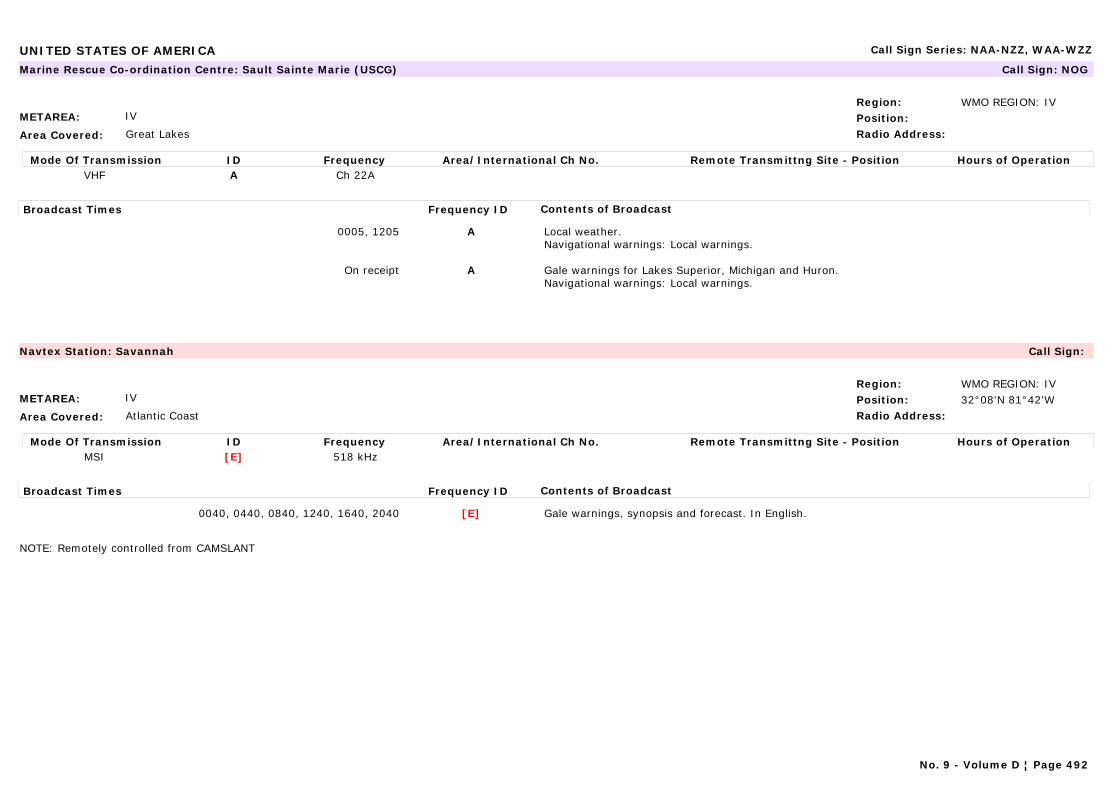
UNITED STATES OF AMERICA Call Sign Series: NAA-NZZ, WAA-WZZ
METAREA: IV
Area Covered: Great Lakes
Region: WMO REGION: IVPosition:Radio Address:
Marine Rescue Co-ordination Centre: Sault Sainte Marie (USCG) Call Sign: NOG
Mode Of Transmission ID Frequency Area/International Ch No. Remote Transmittng Site - Position Hours of OperationVHF A Ch 22A
Broadcast Times Frequency ID Contents of Broadcast
0005, 1205 A Local weather.Navigational warnings: Local warnings.
On receipt A Gale warnings for Lakes Superior, Michigan and Huron.Navigational warnings: Local warnings.
METAREA: IV
Area Covered: Atlantic Coast
Region: WMO REGION: IVPosition: 32°08'N 81°42'WRadio Address:
Navtex Station: Savannah Call Sign:
Mode Of Transmission ID Frequency Area/International Ch No. Remote Transmittng Site - Position Hours of OperationMSI [E] 518 kHz
Broadcast Times Frequency ID Contents of Broadcast
0040, 0440, 0840, 1240, 1640, 2040 [E] Gale warnings, synopsis and forecast. In English.
NOTE: Remotely controlled from CAMSLANT
No. 9 - Volume D ¦ Page 492
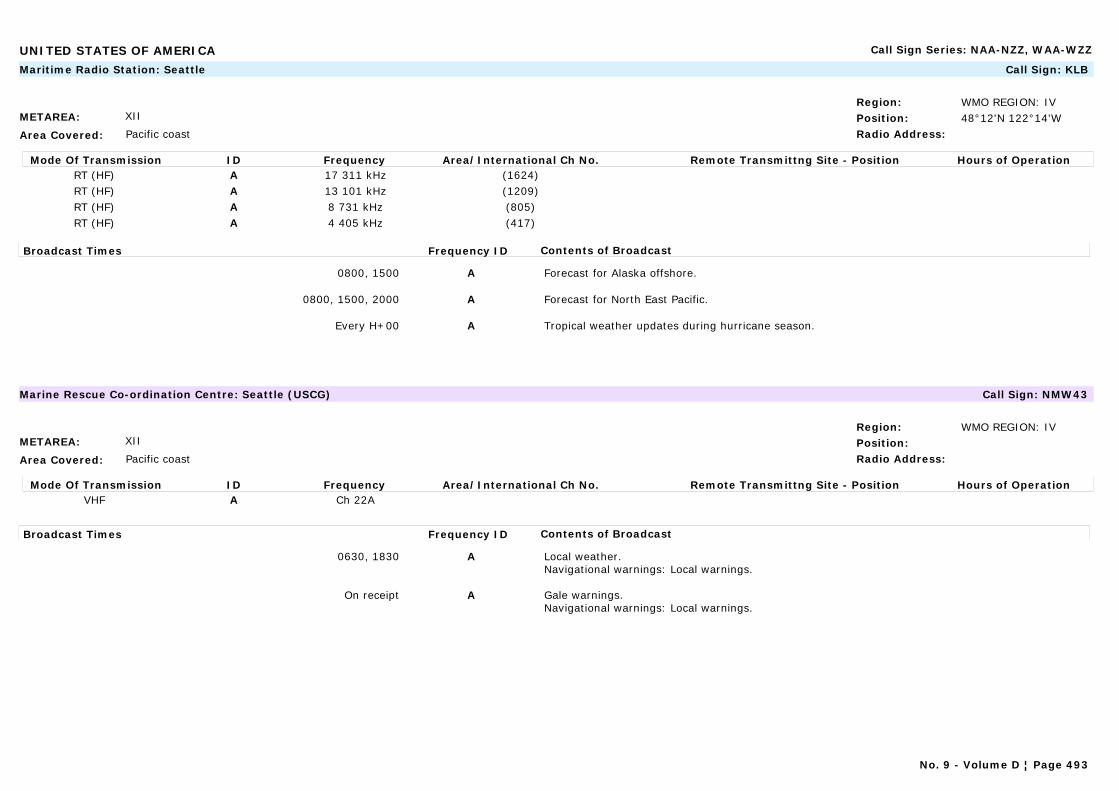
UNITED STATES OF AMERICA Call Sign Series: NAA-NZZ, WAA-WZZ
METAREA: XII
Area Covered: Pacific coast
Region: WMO REGION: IVPosition: 48°12'N 122°14'WRadio Address:
Maritime Radio Station: Seattle Call Sign: KLB
Mode Of Transmission ID Frequency Area/International Ch No. Remote Transmittng Site - Position Hours of OperationRT (HF) A 17 311 kHz (1624)RT (HF) A 13 101 kHz (1209)RT (HF) A 8 731 kHz (805)RT (HF) A 4 405 kHz (417)
Broadcast Times Frequency ID Contents of Broadcast
0800, 1500 A Forecast for Alaska offshore.
0800, 1500, 2000 A Forecast for North East Pacific.
Every H+00 A Tropical weather updates during hurricane season.
METAREA: XII
Area Covered: Pacific coast
Region: WMO REGION: IVPosition:Radio Address:
Marine Rescue Co-ordination Centre: Seattle (USCG) Call Sign: NMW43
Mode Of Transmission ID Frequency Area/International Ch No. Remote Transmittng Site - Position Hours of OperationVHF A Ch 22A
Broadcast Times Frequency ID Contents of Broadcast
0630, 1830 A Local weather.Navigational warnings: Local warnings.
On receipt A Gale warnings.Navigational warnings: Local warnings.
No. 9 - Volume D ¦ Page 493

UNITED STATES OF AMERICA Call Sign Series: NAA-NZZ, WAA-WZZ
METAREA: IV
Area Covered: Atlantic Coast
Region: WMO REGION: IVPosition: 44°16'N 68°19'WRadio Address:
Marine Rescue Co-ordination Centre: Soutwest Harbour (USCG) Call Sign: NMF44
Mode Of Transmission ID Frequency Area/International Ch No. Remote Transmittng Site - Position Hours of OperationRT (MF) A 2 670 kHz
VHF B Ch 22A
Broadcast Times Frequency ID Contents of Broadcast
1135, 2335 A, B Local weather.Navigational warnings: Local warnings.
METAREA: IV
Area Covered: Atlantic Coast
Region: WMO REGION: IVPosition: 41°34'N 70°40'WRadio Address:
Marine Rescue Co-ordination Centre: Woods Hole (USCG) Call Sign: NMF2
Mode Of Transmission ID Frequency Area/International Ch No. Remote Transmittng Site - Position Hours of OperationRT (MF) A 2 670 kHz
VHF B Ch 22A
Broadcast Times Frequency ID Contents of Broadcast
0440, 1640 A Local weather.Navigational warnings: Local warnings.
On receipt A, B Gale warnings.Navigational warnings: Local warnings.
1005, 2205 B Local weather.Navigational warnings: Local warnings.
No. 9 - Volume D ¦ Page 494
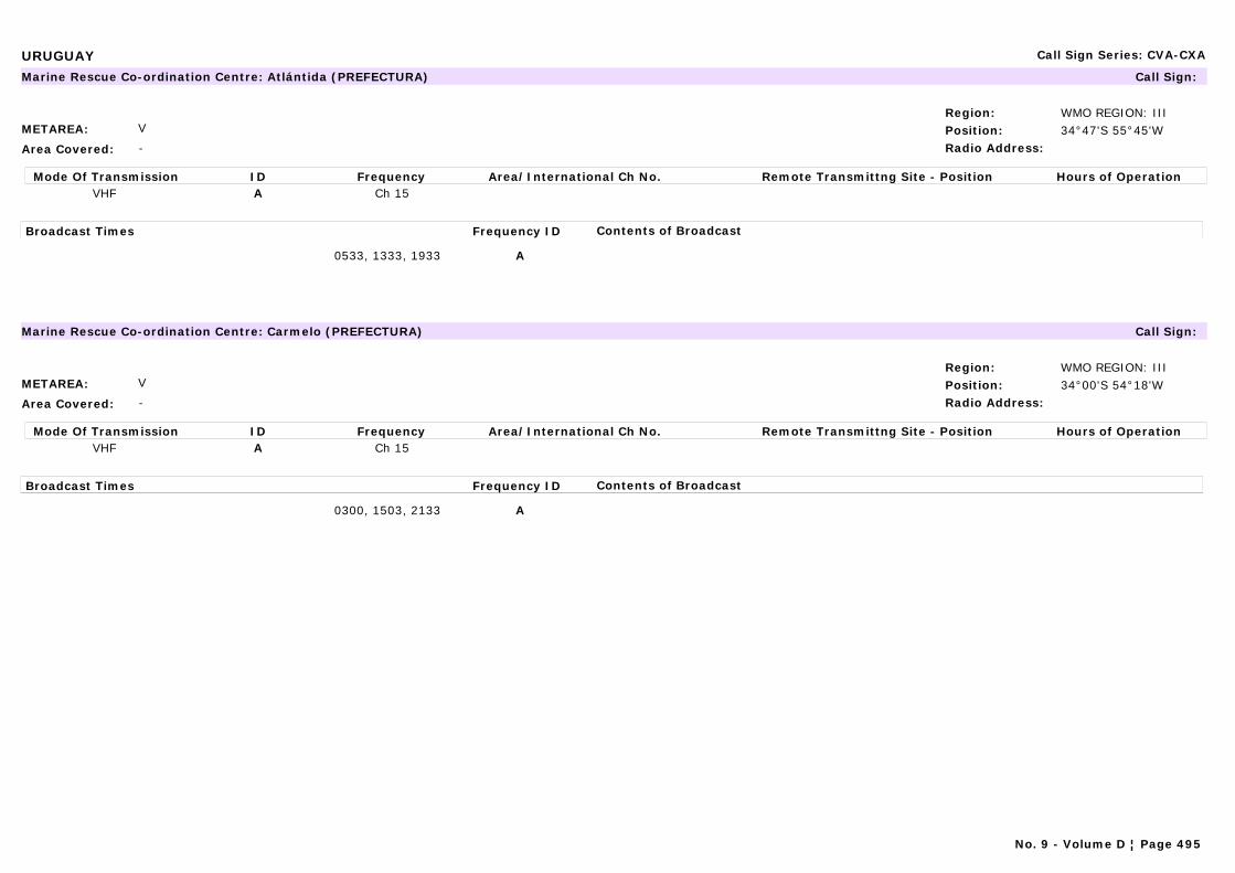
URUGUAY Call Sign Series: CVA-CXA
METAREA: V
Area Covered: -
Region: WMO REGION: IIIPosition: 34°47'S 55°45'WRadio Address:
Marine Rescue Co-ordination Centre: Atlántida (PREFECTURA) Call Sign:
Mode Of Transmission ID Frequency Area/International Ch No. Remote Transmittng Site - Position Hours of OperationVHF A Ch 15
Broadcast Times Frequency ID Contents of Broadcast
0533, 1333, 1933 A
METAREA: V
Area Covered: -
Region: WMO REGION: IIIPosition: 34°00'S 54°18'WRadio Address:
Marine Rescue Co-ordination Centre: Carmelo (PREFECTURA) Call Sign:
Mode Of Transmission ID Frequency Area/International Ch No. Remote Transmittng Site - Position Hours of OperationVHF A Ch 15
Broadcast Times Frequency ID Contents of Broadcast
0300, 1503, 2133 A
No. 9 - Volume D ¦ Page 495
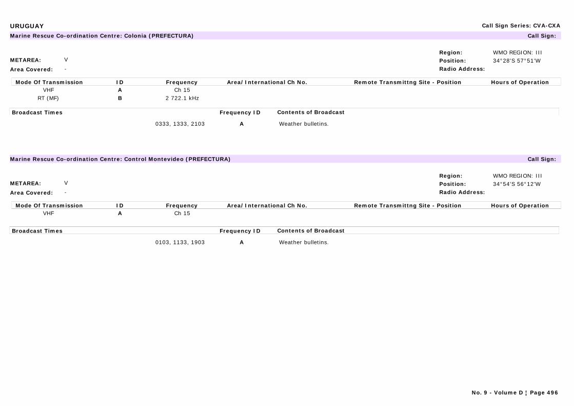
URUGUAY Call Sign Series: CVA-CXA
METAREA: V
Area Covered: -
Region: WMO REGION: IIIPosition: 34°28'S 57°51'WRadio Address:
Marine Rescue Co-ordination Centre: Colonia (PREFECTURA) Call Sign:
Mode Of Transmission ID Frequency Area/International Ch No. Remote Transmittng Site - Position Hours of OperationVHF A Ch 15
RT (MF) B 2 722.1 kHz
Broadcast Times Frequency ID Contents of Broadcast
0333, 1333, 2103 A Weather bulletins.
METAREA: V
Area Covered: -
Region: WMO REGION: IIIPosition: 34°54'S 56°12'WRadio Address:
Marine Rescue Co-ordination Centre: Control Montevideo (PREFECTURA) Call Sign:
Mode Of Transmission ID Frequency Area/International Ch No. Remote Transmittng Site - Position Hours of OperationVHF A Ch 15
Broadcast Times Frequency ID Contents of Broadcast
0103, 1133, 1903 A Weather bulletins.
No. 9 - Volume D ¦ Page 496
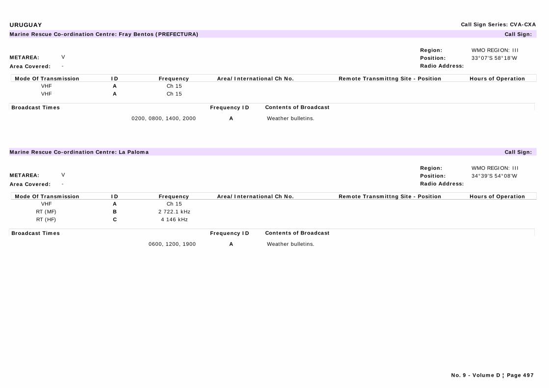
URUGUAY Call Sign Series: CVA-CXA
METAREA: V
Area Covered: -
Region: WMO REGION: IIIPosition: 33°07'S 58°18'WRadio Address:
Marine Rescue Co-ordination Centre: Fray Bentos (PREFECTURA) Call Sign:
Mode Of Transmission ID Frequency Area/International Ch No. Remote Transmittng Site - Position Hours of OperationVHF A Ch 15VHF A Ch 15
Broadcast Times Frequency ID Contents of Broadcast
0200, 0800, 1400, 2000 A Weather bulletins.
METAREA: V
Area Covered: -
Region: WMO REGION: IIIPosition: 34°39'S 54°08'WRadio Address:
Marine Rescue Co-ordination Centre: La Paloma Call Sign:
Mode Of Transmission ID Frequency Area/International Ch No. Remote Transmittng Site - Position Hours of OperationVHF A Ch 15
RT (MF) B 2 722.1 kHzRT (HF) C 4 146 kHz
Broadcast Times Frequency ID Contents of Broadcast
0600, 1200, 1900 A Weather bulletins.
No. 9 - Volume D ¦ Page 497
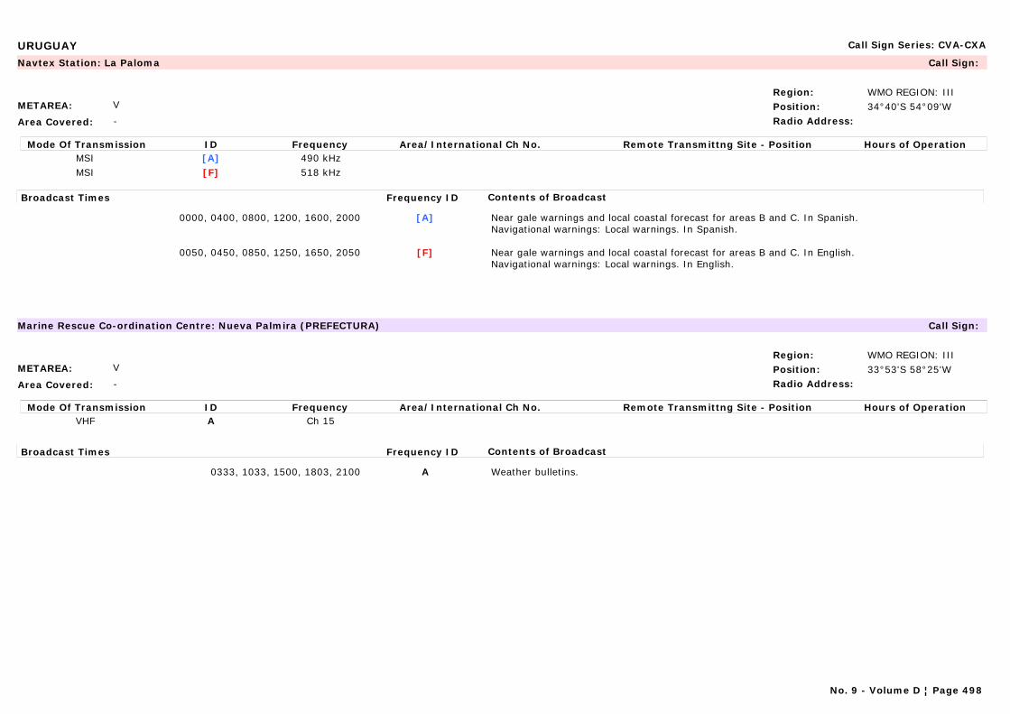
URUGUAY Call Sign Series: CVA-CXA
METAREA: V
Area Covered: -
Region: WMO REGION: IIIPosition: 34°40'S 54°09'WRadio Address:
Navtex Station: La Paloma Call Sign:
Mode Of Transmission ID Frequency Area/International Ch No. Remote Transmittng Site - Position Hours of OperationMSI [A] 490 kHzMSI [F] 518 kHz
Broadcast Times Frequency ID Contents of Broadcast
0000, 0400, 0800, 1200, 1600, 2000 [A] Near gale warnings and local coastal forecast for areas B and C. In Spanish.Navigational warnings: Local warnings. In Spanish.
0050, 0450, 0850, 1250, 1650, 2050 [F] Near gale warnings and local coastal forecast for areas B and C. In English.Navigational warnings: Local warnings. In English.
METAREA: V
Area Covered: -
Region: WMO REGION: IIIPosition: 33°53'S 58°25'WRadio Address:
Marine Rescue Co-ordination Centre: Nueva Palmira (PREFECTURA) Call Sign:
Mode Of Transmission ID Frequency Area/International Ch No. Remote Transmittng Site - Position Hours of OperationVHF A Ch 15
Broadcast Times Frequency ID Contents of Broadcast
0333, 1033, 1500, 1803, 2100 A Weather bulletins.
No. 9 - Volume D ¦ Page 498
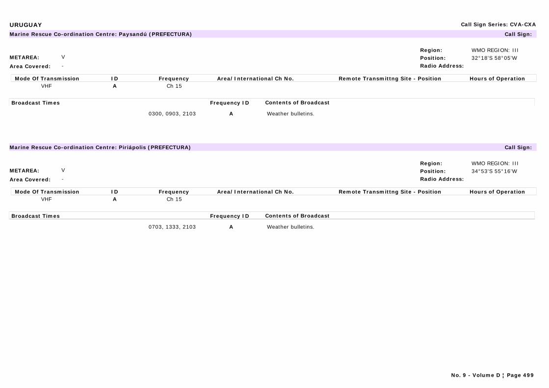
URUGUAY Call Sign Series: CVA-CXA
METAREA: V
Area Covered: -
Region: WMO REGION: IIIPosition: 32°18'S 58°05'WRadio Address:
Marine Rescue Co-ordination Centre: Paysandú (PREFECTURA) Call Sign:
Mode Of Transmission ID Frequency Area/International Ch No. Remote Transmittng Site - Position Hours of OperationVHF A Ch 15
Broadcast Times Frequency ID Contents of Broadcast
0300, 0903, 2103 A Weather bulletins.
METAREA: V
Area Covered: -
Region: WMO REGION: IIIPosition: 34°53'S 55°16'WRadio Address:
Marine Rescue Co-ordination Centre: Piriápolis (PREFECTURA) Call Sign:
Mode Of Transmission ID Frequency Area/International Ch No. Remote Transmittng Site - Position Hours of OperationVHF A Ch 15
Broadcast Times Frequency ID Contents of Broadcast
0703, 1333, 2103 A Weather bulletins.
No. 9 - Volume D ¦ Page 499
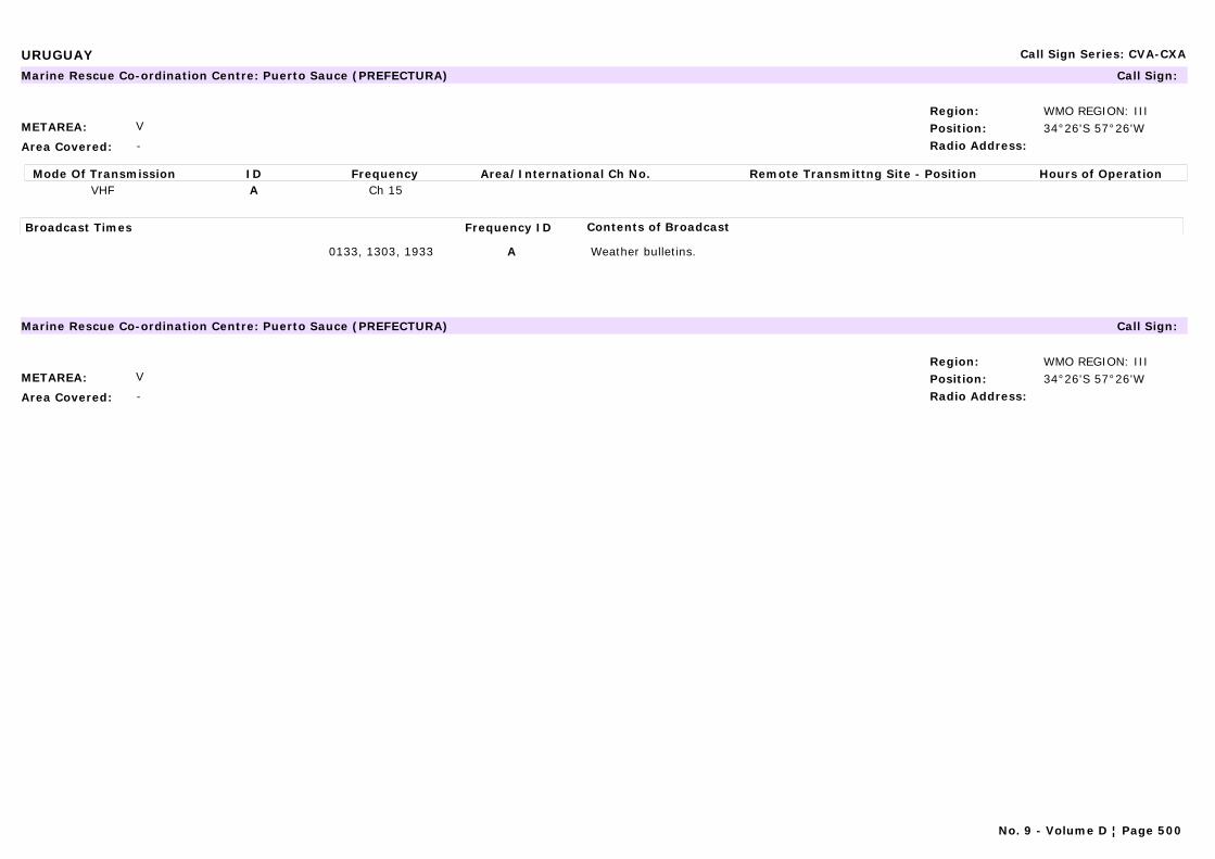
URUGUAY Call Sign Series: CVA-CXA
METAREA: V
Area Covered: -
Region: WMO REGION: IIIPosition: 34°26'S 57°26'WRadio Address:
Marine Rescue Co-ordination Centre: Puerto Sauce (PREFECTURA) Call Sign:
Mode Of Transmission ID Frequency Area/International Ch No. Remote Transmittng Site - Position Hours of OperationVHF A Ch 15
Broadcast Times Frequency ID Contents of Broadcast
0133, 1303, 1933 A Weather bulletins.
METAREA: V
Area Covered: -
Region: WMO REGION: IIIPosition: 34°26'S 57°26'WRadio Address:
Marine Rescue Co-ordination Centre: Puerto Sauce (PREFECTURA) Call Sign:
No. 9 - Volume D ¦ Page 500

URUGUAY Call Sign Series: CVA-CXA
METAREA: V
Area Covered:
Region: WMO REGION: IIIPosition: 34°48'S 56°21'WRadio Address:
Maritime Radio Station: Punta Carretas Call Sign:
Mode Of Transmission ID Frequency Area/International Ch No. Remote Transmittng Site - Position Hours of OperationRT (MF) A 2 768.5RT (HF) B 22 636.3RT (HF) B 17 260.8RT (HF) B 13 128.7RT (HF) B 8 291.1RT (HF) B 6 518.8RT (HF) B 4 357.4
Broadcast Times Frequency ID Contents of Broadcast
0003, 1403, 2103 A, B Weather bulletins for all areas in Spanish and English.Navigational warnings: For Uruguayan coastal waters, Río de la Plata and Río Uruguay. In Spanish only.
METAREA: V
Area Covered: -
Region: WMO REGION: IIIPosition: 34°58'S 54°51'WRadio Address:
Marine Rescue Co-ordination Centre: Punta del Este (PREFECTURA) Call Sign:
Mode Of Transmission ID Frequency Area/International Ch No. Remote Transmittng Site - Position Hours of OperationVHF A Ch 15
RT (MF) B 2 722.1 kHz
Broadcast Times Frequency ID Contents of Broadcast
0133, 1503, 2133 A§ Weather bulletins.
No. 9 - Volume D ¦ Page 501

URUGUAY Call Sign Series: CVA-CXA
METAREA: V
Area Covered: -
Region: WMO REGION: IIIPosition: 32°34'S 53°23'WRadio Address:
Marine Rescue Co-ordination Centre: Rio Branco (PREFECTURA) Call Sign:
Mode Of Transmission ID Frequency Area/International Ch No. Remote Transmittng Site - Position Hours of OperationVHF A Ch 15
RT (MF) B 2 722.1 kHz
Broadcast Times Frequency ID Contents of Broadcast
0933, 1703, 2333 A Weather bulletins.
METAREA: V
Area Covered: -
Region: WMO REGION: IIIPosition: 31°23'S 57°59'WRadio Address:
Marine Rescue Co-ordination Centre: Salto (PREFECTURA) Call Sign:
Mode Of Transmission ID Frequency Area/International Ch No. Remote Transmittng Site - Position Hours of OperationVHF A Ch 15
Broadcast Times Frequency ID Contents of Broadcast
0505, 1105, 1705, 2305 A Weather bulletins.
No. 9 - Volume D ¦ Page 502

URUGUAY Call Sign Series: CVA-CXA
METAREA: V
Area Covered: -
Region: WMO REGION: IIIPosition: 34°49'S 56°22'WRadio Address:
Marine Rescue Co-ordination Centre: Sodre Call Sign: CX 6
Mode Of Transmission ID Frequency Area/International Ch No. Remote Transmittng Site - Position Hours of OperationA 650
Broadcast Times Frequency ID Contents of Broadcast
1200 A Weather bulletins.
METAREA: V
Area Covered: -
Region: WMO REGION: IIIPosition: 34°52'S 56°18'WRadio Address:
Marine Rescue Co-ordination Centre: Trouville (PREFECTURA) Call Sign:
Mode Of Transmission ID Frequency Area/International Ch No. Remote Transmittng Site - Position Hours of OperationRT (MF) A 2 722.1 kHzRT (HF) B 4 146 kHz
Broadcast Times Frequency ID Contents of Broadcast
0103, 1103, 1903 A Weather bulletins.Navigational warnings in Spanish for Uruguayan coastal waters, Rio de la Plata, Rio Uruguay.
0103, 0503, 1903 B Weather bulletins. In Spanish.Navigational warnings: For Uruguayan coastal waters, Rio de la Plata, Rio Uruguay.In Spanish.
No. 9 - Volume D ¦ Page 503
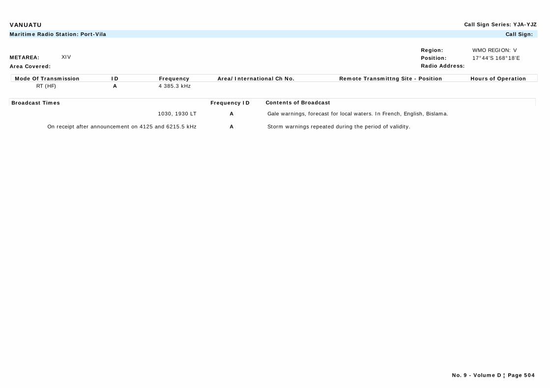
VANUATU Call Sign Series: YJA-YJZ
METAREA: XIV
Area Covered:
Region: WMO REGION: VPosition: 17°44'S 168°18'ERadio Address:
Maritime Radio Station: Port-Vila Call Sign:
Mode Of Transmission ID Frequency Area/International Ch No. Remote Transmittng Site - Position Hours of OperationRT (HF) A 4 385.3 kHz
Broadcast Times Frequency ID Contents of Broadcast
1030, 1930 LT A Gale warnings, forecast for local waters. In French, English, Bislama.
On receipt after announcement on 4125 and 6215.5 kHz A Storm warnings repeated during the period of validity.
No. 9 - Volume D ¦ Page 504
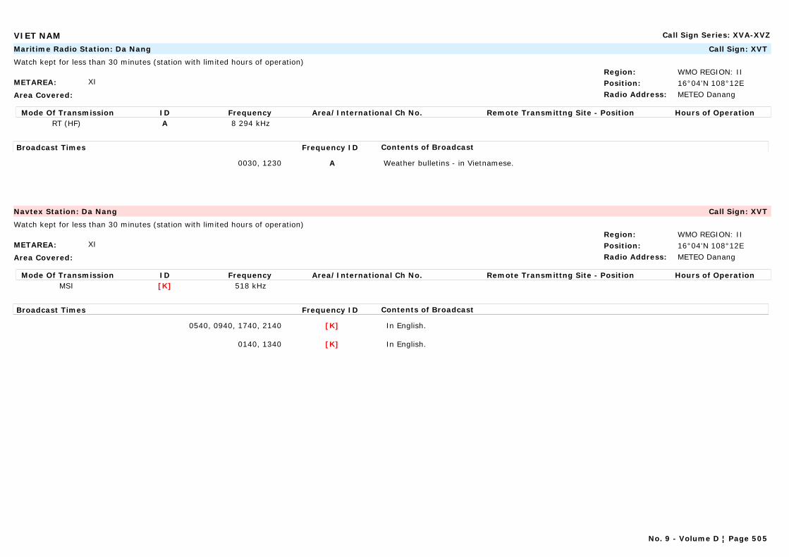
VIET NAM Call Sign Series: XVA-XVZ
METAREA: XI
Area Covered:
Region: WMO REGION: IIPosition: 16°04'N 108°12ERadio Address: METEO Danang
Maritime Radio Station: Da Nang Call Sign: XVT
Watch kept for less than 30 minutes (station with limited hours of operation)
Mode Of Transmission ID Frequency Area/International Ch No. Remote Transmittng Site - Position Hours of OperationRT (HF) A 8 294 kHz
Broadcast Times Frequency ID Contents of Broadcast
0030, 1230 A Weather bulletins - in Vietnamese.
METAREA: XI
Area Covered:
Region: WMO REGION: IIPosition: 16°04'N 108°12ERadio Address: METEO Danang
Navtex Station: Da Nang Call Sign: XVT
Watch kept for less than 30 minutes (station with limited hours of operation)
Mode Of Transmission ID Frequency Area/International Ch No. Remote Transmittng Site - Position Hours of OperationMSI [K] 518 kHz
Broadcast Times Frequency ID Contents of Broadcast
0540, 0940, 1740, 2140 [K] In English.
0140, 1340 [K] In English.
No. 9 - Volume D ¦ Page 505
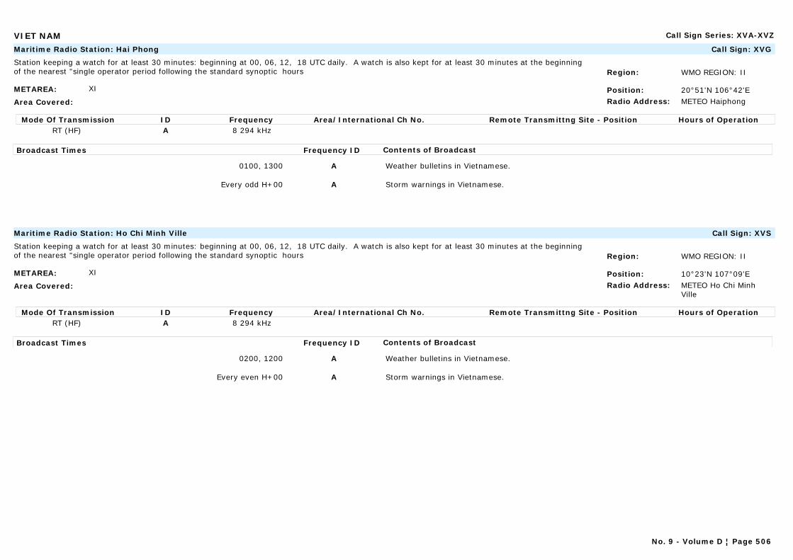
VIET NAM Call Sign Series: XVA-XVZ
METAREA: XI
Area Covered:
Region: WMO REGION: II
Position: 20°51'N 106°42'ERadio Address: METEO Haiphong
Maritime Radio Station: Hai Phong Call Sign: XVG
Station keeping a watch for at least 30 minutes: beginning at 00, 06, 12, 18 UTC daily. A watch is also kept for at least 30 minutes at the beginning of the nearest "single operator period following the standard synoptic hours
Mode Of Transmission ID Frequency Area/International Ch No. Remote Transmittng Site - Position Hours of OperationRT (HF) A 8 294 kHz
Broadcast Times Frequency ID Contents of Broadcast
0100, 1300 A Weather bulletins in Vietnamese.
Every odd H+00 A Storm warnings in Vietnamese.
METAREA: XI
Area Covered:
Region: WMO REGION: II
Position: 10°23'N 107°09'ERadio Address: METEO Ho Chi Minh
Ville
Maritime Radio Station: Ho Chi Minh Ville Call Sign: XVS
Station keeping a watch for at least 30 minutes: beginning at 00, 06, 12, 18 UTC daily. A watch is also kept for at least 30 minutes at the beginning of the nearest "single operator period following the standard synoptic hours
Mode Of Transmission ID Frequency Area/International Ch No. Remote Transmittng Site - Position Hours of OperationRT (HF) A 8 294 kHz
Broadcast Times Frequency ID Contents of Broadcast
0200, 1200 A Weather bulletins in Vietnamese.
Every even H+00 A Storm warnings in Vietnamese.
No. 9 - Volume D ¦ Page 506
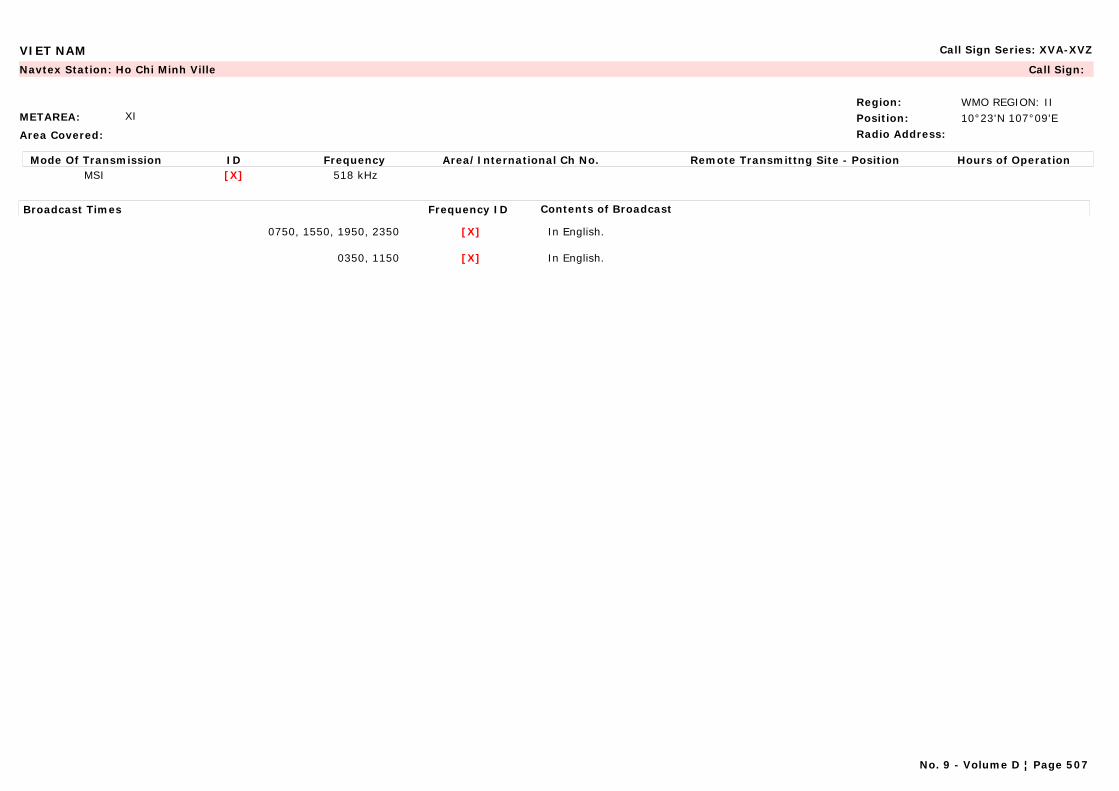
VIET NAM Call Sign Series: XVA-XVZ
METAREA: XI
Area Covered:
Region: WMO REGION: IIPosition: 10°23'N 107°09'ERadio Address:
Navtex Station: Ho Chi Minh Ville Call Sign:
Mode Of Transmission ID Frequency Area/International Ch No. Remote Transmittng Site - Position Hours of OperationMSI [X] 518 kHz
Broadcast Times Frequency ID Contents of Broadcast
0750, 1550, 1950, 2350 [X] In English.
0350, 1150 [X] In English.
No. 9 - Volume D ¦ Page 507

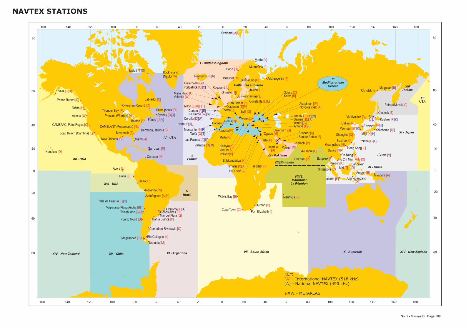
0 20 40 60 80 100 120 140 160 18020406080120 100140160
0
20
40
60
80
20
40
60
0
20
40
60
80
20
40
60
0 20 40 60 80 100 120 140 160 18020406080120 100140160
NAVTEX STATIONS
No. 9 - Volume D Page 509
Ambon [B]
Antalya [F][D]
Antofagasta [A][H]
Kodiak [J][X]
Rio Gallegos [N]
Buenos Aires [R]
Comodoro Rivadavia [O]
Bahía Blanca [P]
Ushuaia [M]
Mar del Plata [Q]
Horta [F][J]
Hamala[B]
Oostende [T][M]
Bermuda Harbour [B]
Varna [J]
Rivière-au-Renard [C]
Sydney [Q][J]
Thunder Bay [P] Saint John's [O]Tofino [H]
Prince Rupert [D]
Iqaluit [T][S]
Labrador [X]
Prescott (Wiarton) [H]Fundy [U][V]
Las Palmas [A][I]
Magallanes [E][L]
Valparaiso Playa Ancha [B][I]
Puerto Montt [D]
Talcahuano [C][J]
Isla de Pascua [F][G]
Dalian [R]
Shanghai [Q]
Guangzhou [N]
Fuzhou [O]
Sanya [M]
Split [Q]
Curaçao [H]
Cyprus [M]
Ayora [L]Ismailia [X][X]
El Iskandariya [N]
El Quseir [V]
Tallinn [U]
Corsen [A][E]La Garde [W][S]
Kerkyra[K]
Irakleio[H]
Limnos [L]
Kook Island(Nuuk) [W]
Guam [V]Honolulu [O]
Hong Kong [L]
Reykjavík [R][R]
Chennai [P]
Mumbai [G]
Ujungpandang[D]
Jayapura [A]Jakarta [E]
Bushehr [A]Bandar Abbas [F]
Valentia [W]Malin Head [Q]
Hefa [P]
Trieste[U]
Cagliari[T]
Augusta[V]
Roma[R]Kushiro [K][K]
Moji [H][H]
Otaru[J][J]
Yokohama [I][I]
Naha [G][G]
Penang [U] Sandakan[S]Miri [T]
Malta [O]
Mauritius [C]Walvis Bay [B]
Den Helder [P]
Vardø [V]
Rogaland [L]
Ørlandet [N]
Svalbard [A]
Bodø [B]
Masqat [M]
Karachi [P]
Mollendo [W]
Callao [U]
Paita [S]
Monsanto [G][R]
San Juan [R]
Pyonsan [W][K]Chukpyon [V][J]
Constanta [L][L]
Arkhangel'sk [F]
Astrakhan [W]Novorossiysk [A]
Murmansk [C]
Vladivostok [A]
Magadan [B]
Kholmsk [B]
Petropavlovsk [C]
Okhotsk [G]
Dammam [G]
Jeddah [H]Singapore [C]
Cape Town [C]Port Elizabeth [I]
Durban [O]
Valencia [X][M]
Tarifa [G][T]
Coruña [D][W]
Grimeton [I]
Bjuröklubb [H]
Gislovshammer [J]
Bangkok [F]
Samsun [E][A]Istanbul [D][B][M]
Izmir[I][C]
Kerch [B]Odesa [C]
Cullercoats[G][U]
Niton [E][K][I][T]
Portpatrick [O][C]
Savannah [E]
Miami [A]
Astoria [W]
CAMSLANT (Portsmouth) [N]CAMSPAC, Point Reyes [C]
Long Beach (Cambria) [Q]
New Orleans [G]
Boston [F]
La Paloma [F][A]
Da Nang [K]
Ho Chi Minh Ville [X]XII - USA
IV - USA
VI - ArgentinaXV - Chile
XVI - USA
VII - South Africa X - Australia
VBrazil
VIII(S)Mauritius/
La Réunion
XI - Japan
IIFrance
XIIIRussia
IIIMediterranean
Greece
VIII(N) - India
XI - China
XIIUSA
XIV - New Zealand
I - United Kingdom
Baltic Sea sub-area
IX - Pakistan
XIV - New Zealand
KEY:- International NAVTEX (518 kHz)- National NAVTEX (490 kHz)
I-XVI - METAREAS
[A][A]

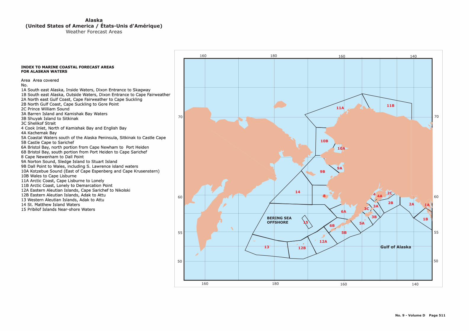
13
12A
148
6A
9B
10B
11A
3B
3A2B
6B
Gulf of Alaska
BERING SEAOFFSHORE
Area Area coveredNo.1A South east Alaska, Inside Waters, Dixon Entrance to
2A North east Gulf Coast, Cape Fairweather to Cape Suckling2B North Gulf Coast, Cape Suckling to Gore Point2C Prince William Sound3A Barren Island and Kamishak Bay Waters
4A Kachemak Bay5A Coastal Waters south of the Alaska Peninsula, Sitkinak to Castle Cape5B Castle Cape to Sarichef6A Bristol Bay, north portion from Cape Newham to Port Heiden6B Bristol Bay, south portion from Port Heiden to Cape Sarichef8 Cape Newenham to Dall Point9A Norton Sound, Sledge Island to Stuart Island9B Dall Point to Wales, including S. Lawrence island waters10A Kotzebue Sound (East of Cape Espenberg and Cape Krusenstern)10B Wales to Cape Lisburne11A Arctic Coast, Cape Lisburne to Lonely11B Arctic Coast, Lonely to Demarcation Point12A Eastern Aleutian Islands, Cape Sarichef to Nikolski12B13 Western Aleutian Islands, Adak to Attu14 St. Matthew Island Waters15 Pribilof Islands Near-shore Waters
INDEX TO MARINE COASTAL FORECAST AREASFOR ALASKAN WATERS
Skagway1B South east Alaska, Outside Waters, Dixon Entrance to Cape Fairweather
3B Shuyak Island to Sitkinak3C Shelikof Strait4 Cook Inlet, North of Kamishak Bay and English Bay
Eastern Aleutian Islands, Adak to Attu
Alaska(United States of America / États-Unis d'Amérique)
Weather Forecast Areas
5A
5B
12B
11B
15
9A
3C
10A
4A4 2C
2A
1B
No. 9 - Volume D Page 511
1A
60
50
70
55
140160180160
60
50
70
55
140160180160
Area Area coveredNo.1A South east Alaska, Inside Waters, Dixon Entrance to
2A North east Gulf Coast, Cape Fairweather to Cape Suckling2B North Gulf Coast, Cape Suckling to Gore Point2C Prince William Sound3A Barren Island and Kamishak Bay Waters
4A Kachemak Bay5A Coastal Waters south of the Alaska Peninsula, Sitkinak to Castle Cape5B Castle Cape to Sarichef6A Bristol Bay, north portion from Cape Newham to Port Heiden6B Bristol Bay, south portion from Port Heiden to Cape Sarichef8 Cape Newenham to Dall Point9A Norton Sound, Sledge Island to Stuart Island9B Dall Point to Wales, including S. Lawrence island waters10A Kotzebue Sound (East of Cape Espenberg and Cape Krusenstern)10B Wales to Cape Lisburne11A Arctic Coast, Cape Lisburne to Lonely11B Arctic Coast, Lonely to Demarcation Point12A Eastern Aleutian Islands, Cape Sarichef to Nikolski12B13 Western Aleutian Islands, Adak to Attu14 St. Matthew Island Waters15 Pribilof Islands Near-shore Waters
INDEX TO MARINE COASTAL FORECAST AREASFOR ALASKAN WATERS
Skagway1B South east Alaska, Outside Waters, Dixon Entrance to Cape Fairweather
3B Shuyak Island to Sitkinak3C Shelikof Strait4 Cook Inlet, North of Kamishak Bay and English Bay
Eastern Aleutian Islands, Adak to Attu
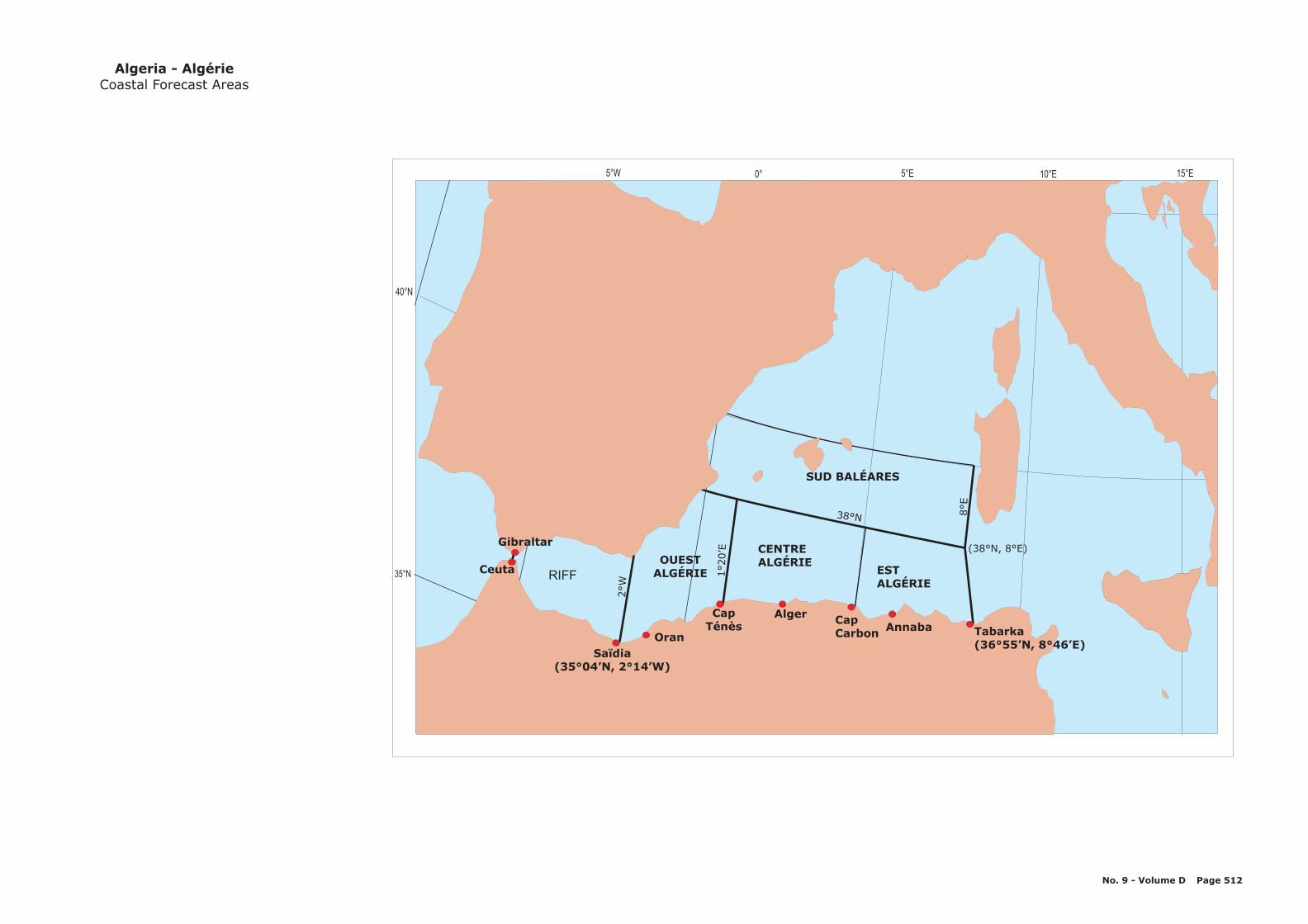
10°E5°E0°5°W
35 N°
40 N°
15 E°
RIFFOUEST
ALGÉRIE
CENTREALGÉRIE
SUD BALÉARES
ESTALGÉRIE
Tabarka(36°55’N, 8°46’E)
Annaba
(38°N, 8°E)Gibraltar
Ceuta
38°N
1°20’E
8°E
2°W
CapCarbon
AlgerCapTénès
OranSaïdia
(35°04’N, 2°14’W)
Algeria - AlgérieCoastal Forecast Areas
No. 9 - Volume D Page 512
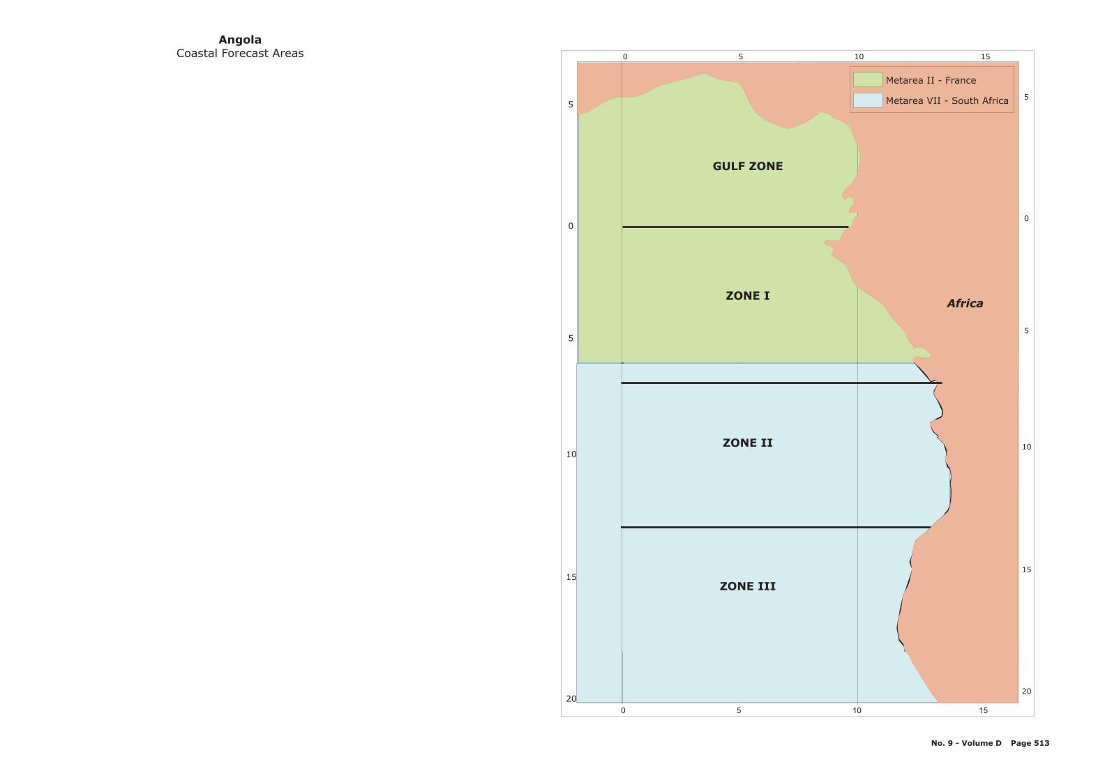
5
0
5
10
15
20
5
0
5
10
15
20
10 1550
10 1550
AngolaCoastal Forecast Areas
No. 9 - Volume D Page 513
ZONE III
GULF ZONE
ZONE I
ZONE II
Metarea II France-
Metarea VII South Africa-
Africa

North Eastern AreaHigh Seas
Northern AreaHigh Seas
Western AreaHigh Seas
Indian Ocean
WA
NT
SA
QLD
NSW
VIC
TAS
Wyndham
Cooktown
Bowen
Stanley Cape Portland
Tasman Is.
Cape Keerweer
Double Is. Pt.
Bundaberg
St. Lawrence
Gabo Is.
Ulladulla
Wooli
Cape Otway
Murray MouthSellicks Beach
Edithburgh
Corny Point
Bremer Bay
Israelite Bay
Eucla Fowlers Bay
Carnarvon
North West Cape
Cape Wessel
Groote EylandtNW NE
SESW
Gulf ofCarpentaria
Daly River Mouth
Thrusday Is.
Wallal Downs
Cardwell
Sandy Cape
Point Danger
Seal Rocks
Broken Bay
Eddystone Point
Wilsons Promonotory
St. Helens Pt
Wineglass Bay
South Eastern AreaHigh Seas
Sandy Cape
South East Cape
Low Rocky Point
Cape CatastrophePoint Whidbey
Cape Leeuwin
Mandurah
Jurien Bay
Port Hacking
Kuri Bay
Cape Don
Kalbarri
Cape Preston
VMW
VMC
Great Barrier ReefOffshore waters
Forecast for Queensland
Australia - AustralieMarine Forecast Zones
30 May 2011
Coastal forecast boundaries
High Seas boundaries
Marine HF Radio stations
VMW Wiluna
VMC Charleville
VMC and VMW
The designations employed and thepresentation of material in thispublication do not imply the expressionof any opinion whatsoever on the partof the Secretariat of WMO concerningthe legal status of any country, territory,city or area, or of its authorities, orconcerning the delimitation of its frontiersor boundaries.
Montague Is.
Smoky Cape
No. 9 - Volume D Page 514
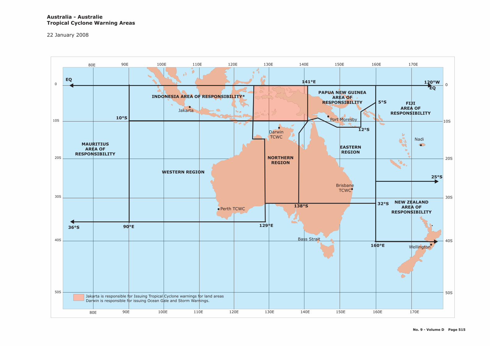
No. 9 - Volume D Page 515
20S
10S
0
30S
40S
50S
20S
10S
0
30S
40S
50S
170E150E 160E140E130E120E110E100E90E80E
Bass Strait
EQ
EQ
36°S 90°E
10°S
141°E
WESTERN REGION
INDONESIA AREA OF RESPONSIBILITY*PAPUA NEW GUINEA
AREA OFRESPONSIBILITY
32°S
129°E
160°E
5°S
12°S
FIJIAREA OF
RESPONSIBILITY
NEW ZEALANDAREA OF
RESPONSIBILITY138°S
NORTHERNREGION
EASTERNREGION
Wellington
Nadi
BrisbaneTCWC
Perth TCWC
DarwinTCWC
MAURITIUSAREA OF
RESPONSIBILITY
Jakarta
Port Moresby
Jakarta is responsible for Issuing Tropical Cyclone warnings for land areasDarwin is responsible for issuing Ocean Gale and Storm Warnings.
Australia - AustralieTropical Cyclone Warning Areas
22 January 2008
25°S
120 W°
170E150E 160E140E130E120E110E100E90E80E
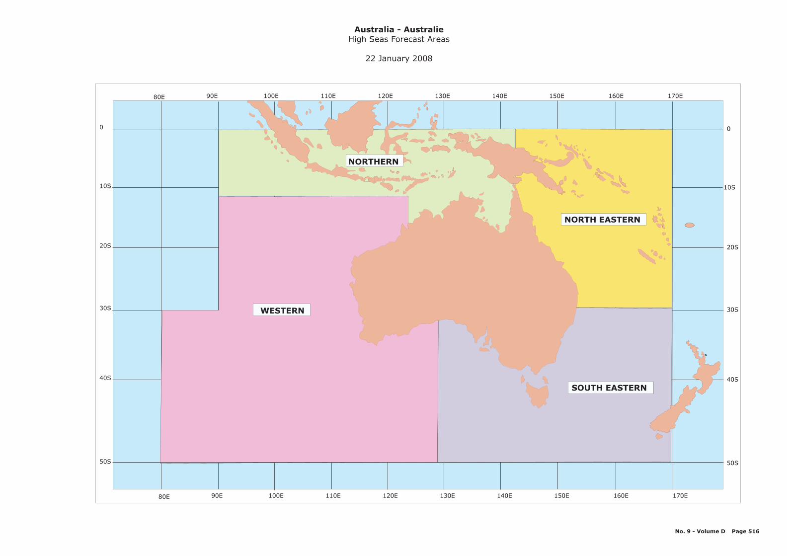
20S
10S
0
30S
40S
50S
20S
10S
0
30S
40S
50S
170E150E 160E140E130E120E110E100E90E80E
WESTERN
NORTHERN
SOUTH EASTERN
NORTH EASTERN
Australia - AustralieHigh Seas Forecast Areas
22 January 2008
No. 9 - Volume D Page 516
170E150E 160E140E130E120E110E100E90E80E
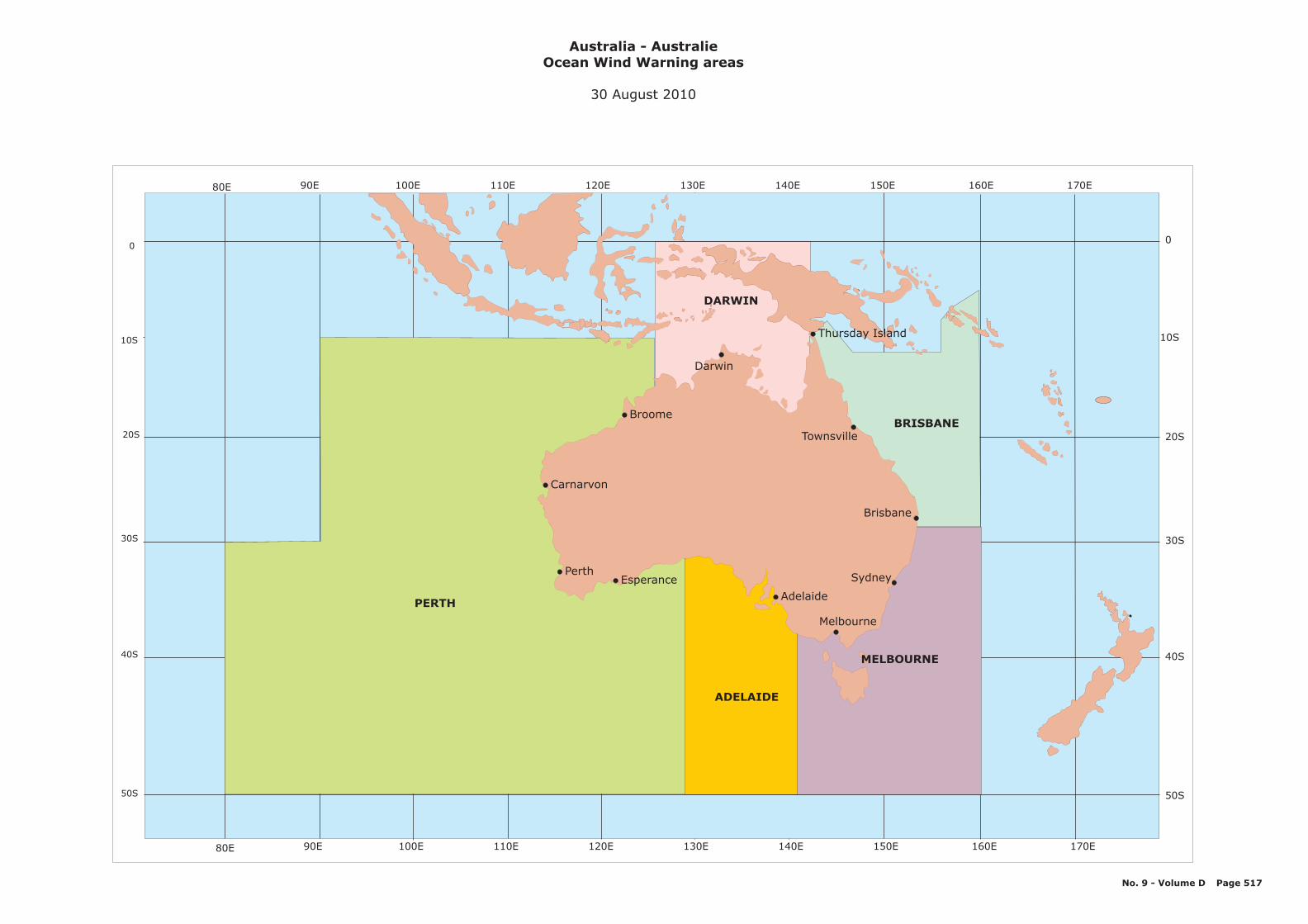
20S
10S
0
30S
40S
50S
20S
10S
0
30S
40S
50S
170E150E 160E140E130E120E110E100E90E80E
170E150E 160E140E130E120E110E100E90E80E
Australia - AustralieOcean Wind Warning areas
30 August 2010
MELBOURNE
ADELAIDE
BRISBANE
PERTH
Brisbane
Darwin
DARWIN
Perth
Carnarvon
Broome
Townsville
Sydney
Melbourne
Adelaide
Esperance
No. 9 - Volume D Page 517
Thursday Island
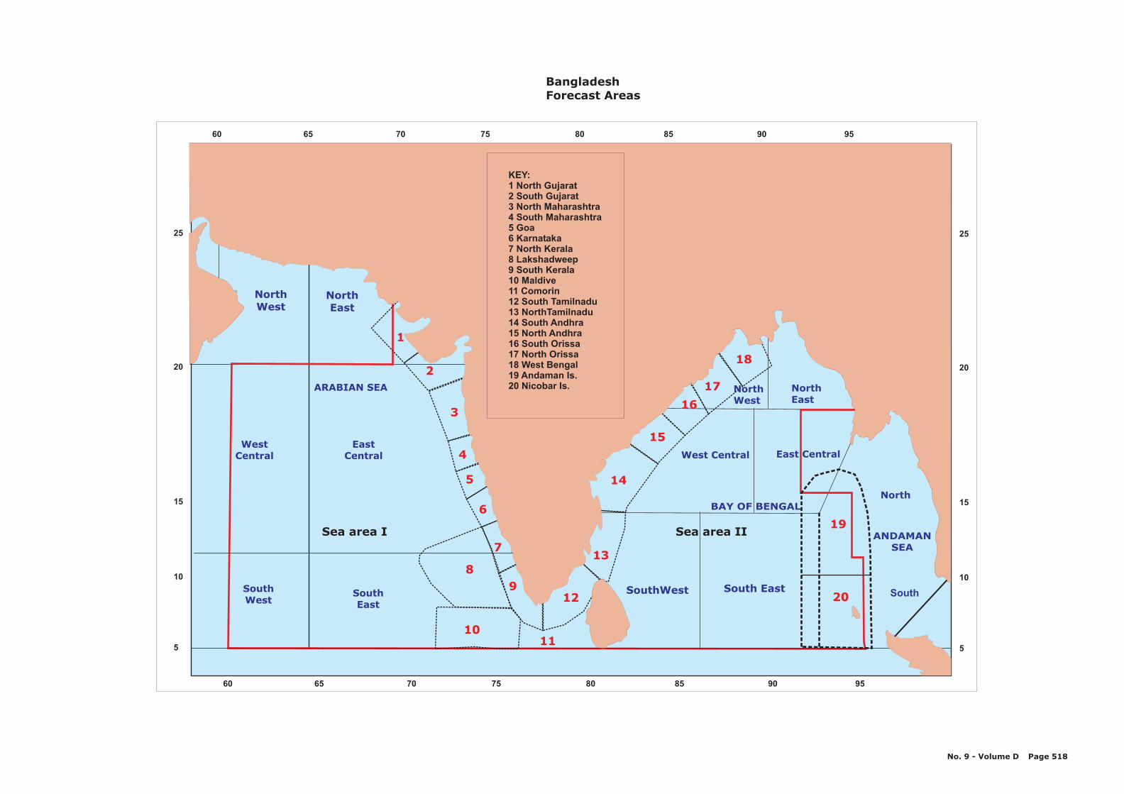
1
2
3
4
5
6
7
89
1011
12
13
14
16
17
19
20
15
18
NorthWest
NorthEast
North
SouthSouthWest
SouthEast
WestCentral
EastCentral
ARABIAN SEA
SouthWest South East
Sea area I
West Central East Central
NorthWest
NorthEast
ANDAMANSEA
BAY OF BENGAL
Sea area II
KEY:1 North Gujarat2 South Gujarat3 North Maharashtra4 South Maharashtra5 Goa6 Karnataka7 North Kerala8 Lakshadweep9 South Kerala10 Maldive11 Comorin12 South Tamilnadu13 NorthTamilnadu14 South Andhra15 North Andhra16 South Orissa17 North Orissa18 West Bengal19 Andaman Is.20 Nicobar Is.
BangladeshForecast Areas
No. 9 - Volume D Page 518
20
25
15
10
5
8060 65 70 75 85 90 95
8060 65 70 75 85 90 95
20
25
15
10
5
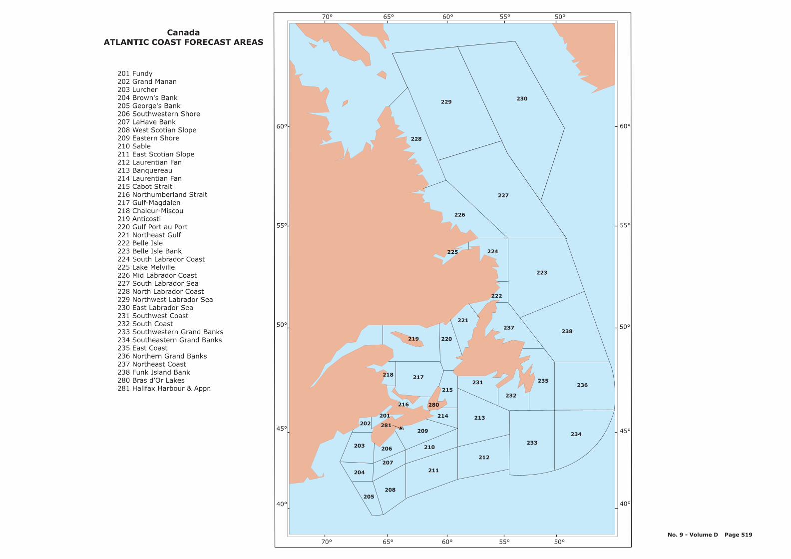
60°
55°
50°
45°
40°
60°
55°
50°
45°
40°
219
218
216
217
201
202
203
204
206
207
208205
281209
210
211
214
280
215231
213
212
233
234
232
236235
237238
222
221
220
223
224225
226
228
229230
227
70° 65° 60° 55° 50°
70° 65° 60° 55° 50°
CanadaATLANTIC COAST FORECAST AREAS
201 Fundy202 Grand Manan203 Lurcher204 Brown's Bank205 George's Bank206 Southwestern Shore207 LaHave Bank208 West Scotian Slope209 Eastern Shore210 Sable211 East Scotian Slope212 Laurentian Fan213 Banquereau214 Laurentian Fan215 Cabot Strait216 Northumberland Strait217 Gulf-Magdalen218 Chaleur-Miscou219 Anticosti220 Gulf Port au Port221 Northeast Gulf222 Belle Isle223 Belle Isle Bank224 South Labrador Coast225 Lake Melville226 Mid Labrador Coast227 South Labrador Sea228 North Labrador Coast229 Northwest Labrador Sea230 East Labrador Sea231 Southwest Coast232 South Coast233 Southwestern Grand Banks234 Southeastern Grand Banks235 East Coast236 Northern Grand Banks237 Northeast Coast238 Funk Island Bank280 Bras d’Or Lakes281 Halifax Harbour & Appr.
No. 9 - Volume D Page 519

75°
70°
65°
60°
55°
75°
70°
65°
60°
55°
165° 150° 135° 120° 105° 90° 75° 60° 45°
165° 150° 135° 120° 105° 90° 75° 60° 45°
111
112
102
113
115
114 116
117
101
103
104 125
105
136
137 138
139 140
141 142
144
143
147
146
159
157
158
311
310
162
163
151164
150
152
153 154
123
118
119120 121
122
133
132
134
135
149
148
129
106 107
127
126
312
124
130
131
CanadaWeather Forecast Areas (Northern coast)
161
160
156155
171
173
170
172 100
151 Foxe East152 Igloolik153 Prince Charles154 Coats155 Central156 Arviat
159 South Hudson Bay160 Hudson161 South Hudson
164 Roes Welcome
136 Lancaster137 Baffin West138 Baffin East139 Clyde West140 Clyde East141 Davis West142 Davis East143 Cumberland144 Brevoort West145 Brevoort Central146 Iqaluit (Frobisher)147 Resolution148 Ungava149 Nottingham150 Foxe West
157 Churchill158 York
162 Rankin163 Baker
310 James Bay311 Belcher312 Povungnituk
100 Prince Alfred101 McClure102 Prince of Wales103 Melville104 Rae105 McClintock106 Byarn107 Queens
115 Banks
117 Holman
121 Maud122 St. Roch123 Larson124 Peel
127 Norwegian Bay128 Eureka129 Clarence130 Kane131 Robeson132 Regent133 Boothia134 Committee135 Admiralty
111 Yukon Coast112 Mackenzie113 Tuktoyaktuk114 Baillie
116 Amundsen
118 Dolphin119 Coronation120 Dease
125 Barrow126 Jones
No. 9 - Volume D Page 520
Forecasts for these areasare available “On request” only
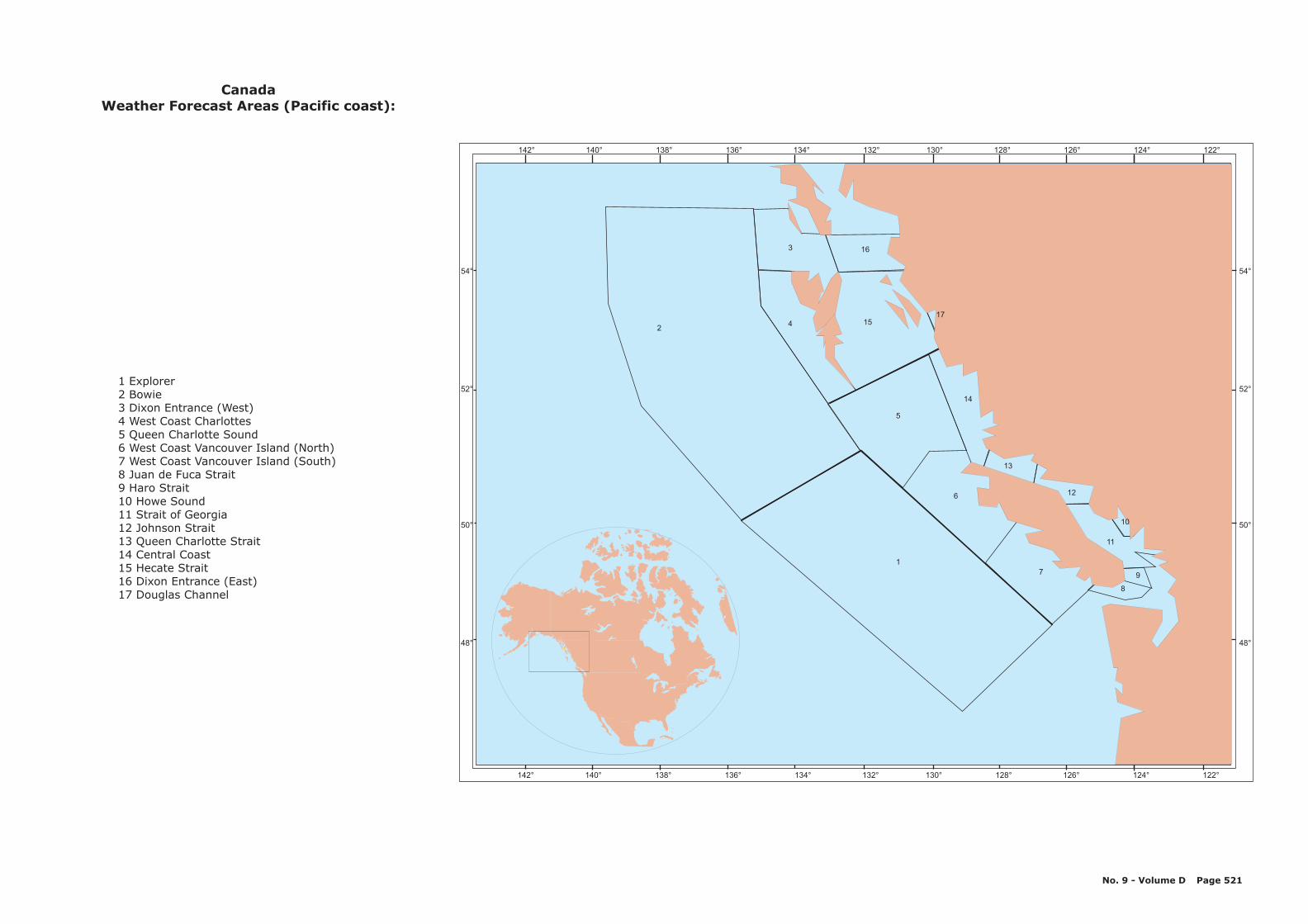
54°
52°
50°
48°
54°
52°
50°
48°
142° 140° 138° 136° 134° 132° 130° 128° 126° 124° 122°
142° 140° 138° 136° 134° 132° 130° 128° 126° 124° 122°
2
3 16
154
5
14
6
17
8
11
9
12
13
10
17
Explorer12 Bowie3 Dixon Entrance (West)4 West Coast Charlottes5 Queen Charlotte Sound6 West Coast Vancouver Island (North)7 West Coast Vancouver Island (South)8 Juan de Fuca Strait9 Haro Strait10 Howe Sound11 Strait of Georgia12 Johnson Strait13 Queen Charlotte Strait14 Central Coast15 Hecate Strait16 Dixon Entrance (East)17 Douglas Channel
CanadaWeather Forecast Areas (Pacific coast):
No. 9 - Volume D Page 521
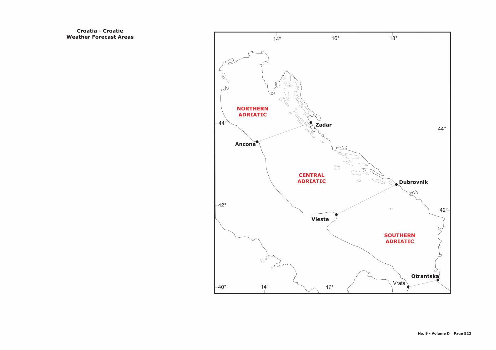
NORTHERNADRIATIC
CENTRALADRIATIC
SOUTHERNADRIATIC
Ancona
Zadar
Vieste
Dubrovnik
OtrantskaVrata
÷
40°
42°
44°
14° 16° 18°
44°
42°
16°14°
Croatia - CroatieWeather Forecast Areas
No. 9 - Volume D Page 522
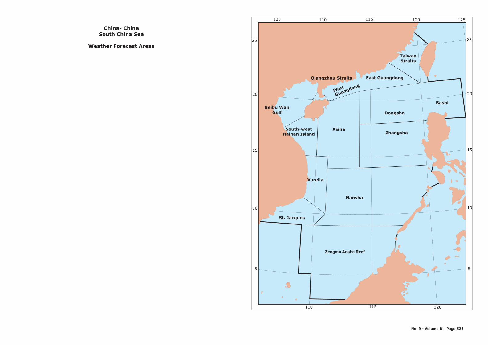
Zengmu Ansha Reef
Nansha
XishaSouth-westHainan Island
Beibu WanGulf
West
Guangdong
East Guangdong
TaiwanStraits
Qiangzhou Straits
Zhangsha
Dongsha
St. Jacques
Varella
Bashi
25
20
15
10
5
25
20
15
10
5
105 110 115 120 125
110 115 120
¬
China- Chine
Weather Forecast Areas
South China Sea
No. 9 - Volume D Page 523
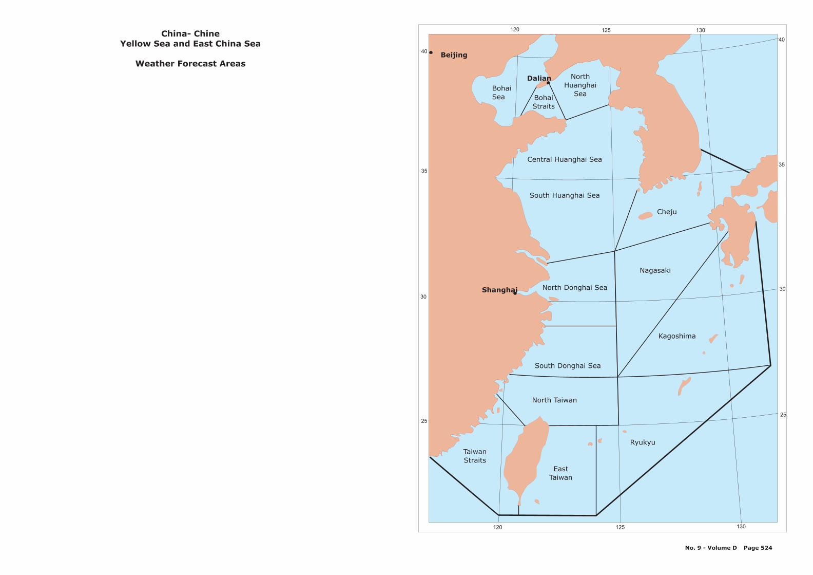
BohaiSea
NorthHuanghai
Sea
Central Huanghai Sea
South Huanghai Sea
North Donghai Sea
South Donghai Sea
Nagasaki
North Taiwan
TaiwanStraits
EastTaiwan
Ryukyu
Kagoshima
Cheju
BohaiStraits
40
35
30
25
40
35
30
25
120 125 130
120 125 130
Dalian
Shanghai
Beijing
China- ChineYellow Sea and East China Sea
Weather Forecast Areas
No. 9 - Volume D Page 524
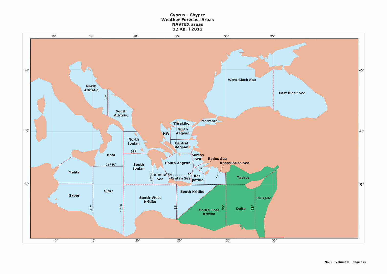
10° 15° 20° 25° 30° 35°
10° 15° 20° 25° 30° 35°
45°
40°
35°
45°
40°
35°
Melita
GabesSidra
NorthIonian
Boot
South Kritiko
Delta
Crusade
Taurus
SouthIonian
South-WestKritiko
SouthAdriatic
NorthAdriatic
East Black Sea
West Black Sea
18
°30
'
15°
25°
30°
33°
23
30’
°
35°
38°
36 40'°
Cyprus - ChypreWeather Forecast Areas
NAVTEX areas12 April 2011
No. 9 - Volume D Page 525
17°
Thrakiko
NWNorth
Aegean
CentralAegean
SamosSea
Marmara
South-EastKritiko
Karpathio
-
Kastellorizo SeaRodos Sea
SW SE
South Aegean
KithiraSea Cretan Sea

DENMARK
1
1
1
1
1
1
1
22
2
2
2
2
2
4
4
4
4
4
3
3
3
3
3
3
3
5
5
5
5
5
5
6
6
6
6
Kattegat
Skaggerak
6
5
6
8° 9° 10° 11° 12° 13° 14° 15° 16°
8° 9° 10° 11° 12° 13° 14° 15° 16°
57°
56°
55°
57°
56°
55°
6
SWEDEN
DENMARKRanders
Aarhus
Esbjerg
Kolding
Flensburg
Odense
Kalundborg
Fyn
3
PortShipping route number
4
4
5
GG
Aalborg
FF
HH
EE
AA
CC
DD
BB
1
4
3
2
6
København
Stigsnae
Sjaelland
Rønne
Denmark - DanemarkAreas for Ice Reports and Codes
AA:1 Sea area N of Hammeren2 Fairway to Rønne3 Sea area between Rønne and Falsterbo4 Sea area off Falsterbo5 Fairway through Drogden6 Fairway to København
BB:1 Sea area W of Ven2 Sea area E of Ven3 Sea area off Helsingør4 Sea area off Nakkehaved5 Sea area S of Hesselø6 Fairway to Isefjorden - Kyndby Vaerket
CC:1 Sea area off Møn lighthouse, Route T2 Sea area S of Gedser, Route T3 Sea area S of Rødby harbour, Route T4 Sea area SE of Keldsnor, Route T5 Sea area off Sprodbjerg, Route T6 Sea area W of Omø, Route T
Fairway Sections and aras for ice reports (AA-HH):
DD:1 Agersøsund - Stigsmaes2 Storebaelt channel, western part3 Storebaelt, eastern part, Route T4 Sea area E of Romsø, Route T5 Fairway to Kalundborg - oil harbour6 Sea area W of Røsnaes, Route T
EE :1 Sea area W of Sjaellands Rev, Route T2 Sea area W of Hesselø, Route T3 Sea area E of Anholt, Route T4 Sea area W of Fladen lighthouse, Route T5 Sea area NW of Kummelbanke, Route T6 Sea area N of Skagen, Route T
FF:1 Southern entrance to Lillebaelt, Skjoldnaes2 Sea area off Helnaes3 Fairway to Åbenrå - Enstedvaerket4 Sea area off Assens5 Kolding Yderfjord to the Bridges6 Fairway to Esbjerg
GG:1 Fairway at Fredericia to the Bridges2 Sea area N of Aebelø3 Fairway to Odense4 Sea area at Vesborg lighthouse5 Sea area S of Sletterhage6 Fairway to Århus
HH:1 Sea area off Fornaes2 Fairway to Randers3 Entrance at Hals Barre4 Fairway to Aalborg5 Sea area NW of Laesø6 Sea area off Hirsholmene
No. 9 - Volume D Page 526

15° 10 5 0 5 10 15° ° ° ° ° °
15° 10 5 0 5 10 15° ° ° ° ° °
60°60°
55°
50°50°
TYSKEBUGT9
FISKER8
VESTLIGESTERSØ Ø
3
ISLANDSRYGGEN25
FUGLOY24
MUNKEGRUND23
YTRI22
BAELTHAVETOG SUNDET
4
KATTEGAT5
ØSTERSØENOMKRING
BORNHOLM2
SKAGERRAK6
Denmark - Danemark
12 January 2009
No. 9 - Volume D Page 527
55°

15° 10 5 0 5 10 15° ° ° ° ° °
15° 10 5 0 5 10 15° ° ° ° ° °
60°60°
55°55°
50°50°
Malinhead
Fair Isle
Manston
Benbecula
Kirkwall
TAMPEN
FOR HEBRIDERNEFARVANDET VEST
Bridlington
TynemouthDOGGER
Aberdeen
Ekofisk
Platform
Den Helder
HUMBER
PLY-MOUTH
WIGHT
THAMES
VIKING
ORKNEY/SHETLAND
TYSKEBUGT
Gorm
FISKER
Platform
Cuxhaven
VESTLIGESTERSØ Ø
(W.Baltic)
SYDØSTLIGEØSTERSØ(SE Baltic)
Hoburg
ISLANDSRYGGEN(Iceland Ridge)
FUGLOY
MUNKEGRUND(Munk)
YTRI
Akraberg Fyr
BAELTHAVETOG SUNDET
(The Belts & theSound)
KATTEGAT
SYDLIGE UTSIRA(S. Utsire)
ØSTERSØENOMKRING
BORNHOLM(S. Baltic)
Utsire
DOVER
PORT-LAND
FLADEN(Forties)
Leba
SKAGERRAK
Denmark - Danemark
Platform
No. 9 - Volume D Page 528

A00
A05
A15
A25
A20
DJIBOUTI
A10
DjiboutiCoastal Forecast Areas
No. 9 - Volume D Page 529
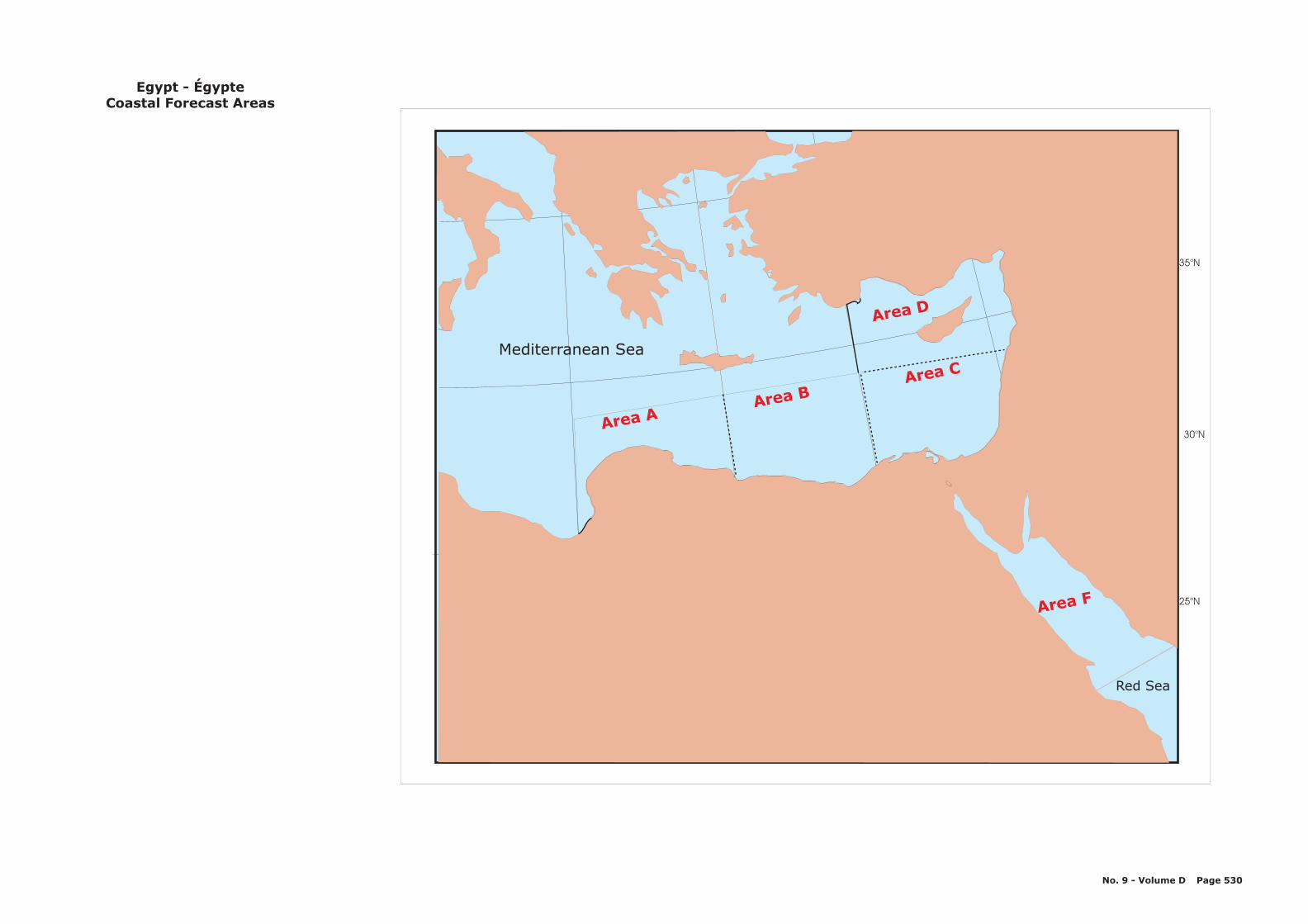
Red Sea
Mediterranean Sea
30 N°
35 N°
25 N°
Area AArea B
Area C
Area D
Area F
Egypt - ÉgypteCoastal Forecast Areas
No. 9 - Volume D Page 530

Estonia - Estonie
No. 9 - Volume D Page 531
20° 22° 24° 26° 28° 30°
20° 22° 24° 26° 28° 30°
58°
60°
59°
Pärnu
TallinKunda
Gulf of Finland
AA7
5
8
46
CC
1
23
Gulf of
Riga
123
BB
58°
60°
59°
Areas forIce Reports and Codes
toAA CC
Port
8 Shipping route number

FINLAND
SWEDEN
NORWAY
60°
65°
15° 20° 25°
B7W
B1N
B3N
15° 20° 25° 30°
65°
Finland - FinlandeWeather Forecast Areas
10 May 2011
B1 Bay of BothniaB2 The QuarkB3 Sea of BothniaB4W Sea of AalandB4E Sea of ArchipelagoB5 Gulf of FinlandB7 Northern Baltic
No. 9 - Volume D Page 532
B2
B1S
B4W B4E
60°
B3S
B7E
B5E
B5W
26°E
64°30'N
59°50'N
58°20'N23°E20°30'E
60°30'N20°E
Stubben
Ratan
Järnäs udde
Halsogrund
62°N
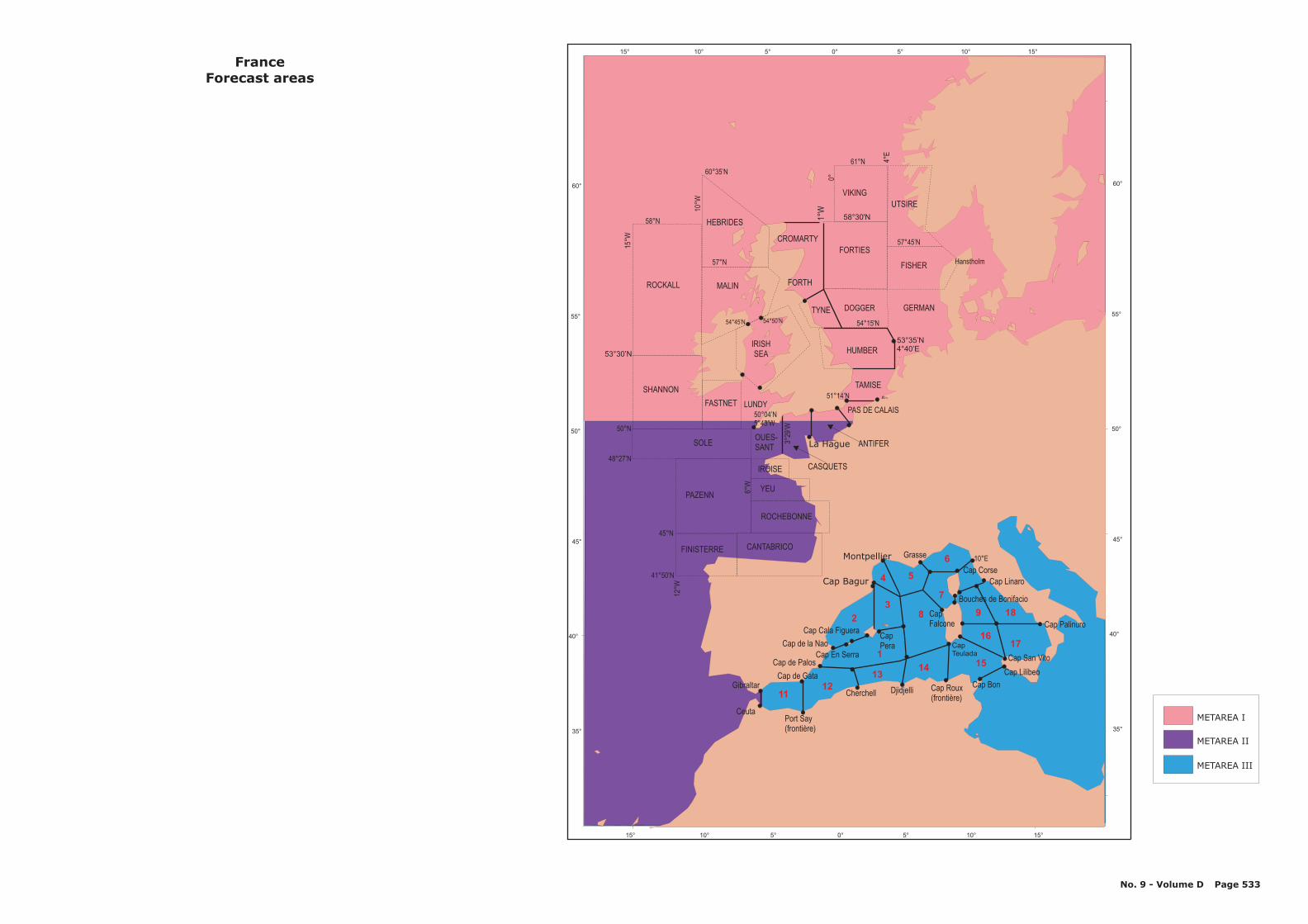
15° 10° 5° 0° 5° 10° 15°
15° 10° 5° 0° 5° 10° 15°
50°N
52°N
52°30’N
53°30’N
60°
55°
50°
45°
40°
35°
60°
55°
50°
45°
40°
35°
61°N
41°50’N
52°45'N
56°N
58°30'N
1°50'W
58°N
57°N
57°45’N
60°35’N
51°15’N50°45’N
47°30’N
46°30’N
50°15’N
53°35’N4°40’E
45°N
48°27’N
1°W
1°5
7’W
3°29
’W
0°
4°E
15°W
10°W
12°W
6°W
HUMBER
DOGGER GERMANTYNE
MALINROCKALL
VIKING
FORTIES
CANTABRICO
PAZENN
SOLE
FASTNET LUNDY
SHANNON
OUES-SANT
YEU
FINISTERRE
CapTeulada
CapPera
4
3
5
6
7
9 18
1716
15
1112
1314
8
1
2
UTSIRE
FISHER
FranceForecast areas
Gibraltar
Ceuta
Cap Cala Figuera
Cap de Gata
Cap En Serra
Cap de la Nao
Cap de Palos
Port Say(frontière)
Cherchell DjidjelliCap Bon
Cap Palinuro
Cap Roux(frontière)
Cap Lilibeo
Cap San Vito
CapFalcone
Cap Corse
Montpellier Grasse
Cap Bagur Cap Linaro
54°15'N
51°14’N
50°04’N5°43’W
La Hague
CASQUETS
Bouches de Bonifacio
10°E
PAS DE CALAIS
TAMISE
IROISE
ROCHEBONNE
IRISHSEA
No. 9 - Volume D Page 533
Hanstholm
HEBRIDES
CROMARTY
ANTIFER
54°50’N54°45’N
FORTH
METAREA I
METAREA II
METAREA III
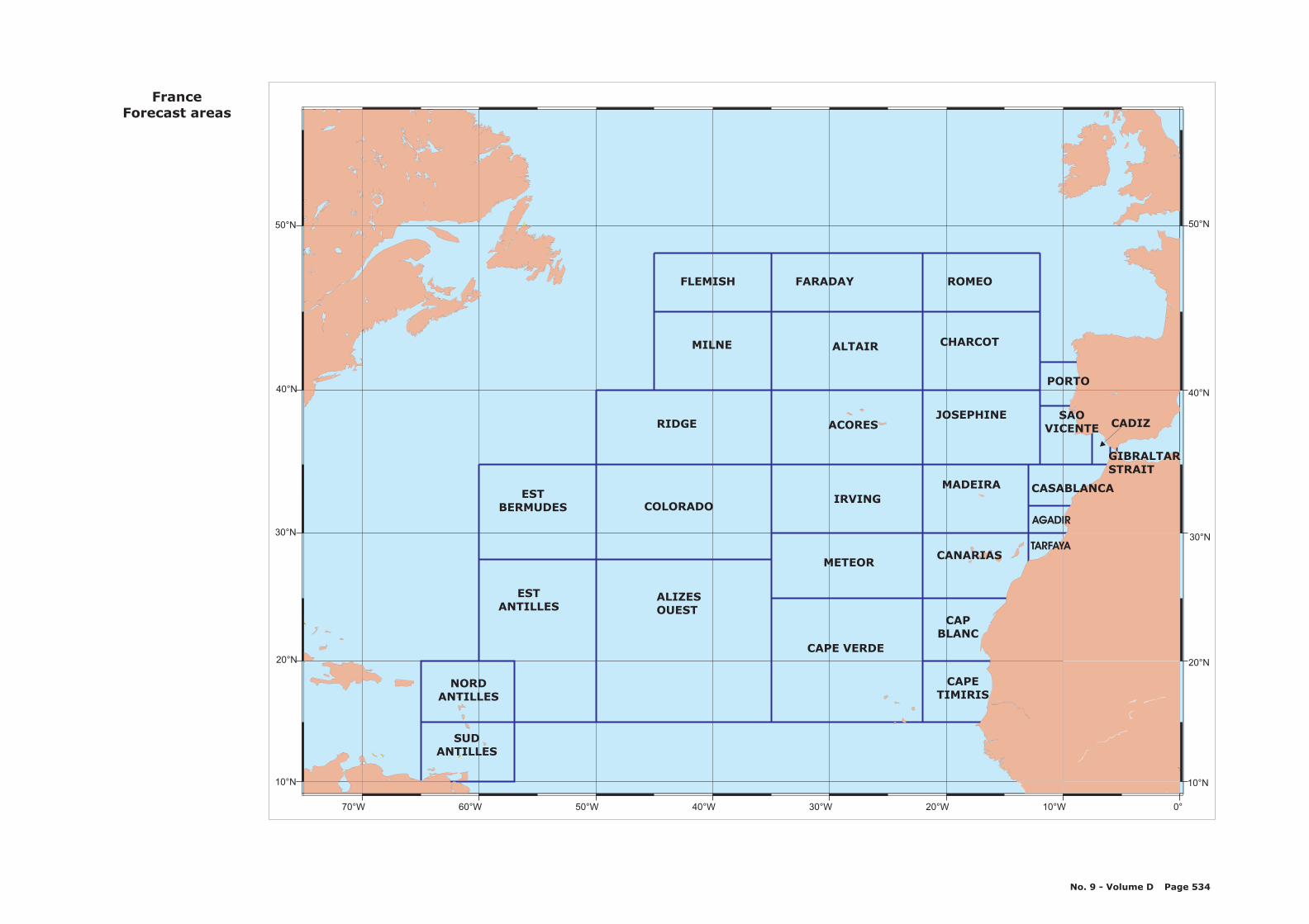
70°W 60°W 50°W 40°W 30°W 20°W 10°W 0°
10°N 10°N
20°N 20°N
30°N 30°N
40°N 40°N
50°N 50°N
SUDANTILLES
NORDANTILLES
ESTANTILLES
ESTBERMUDES
ALIZESOUEST
COLORADO
RIDGE
MILNE
FLEMISH
CAPE VERDE
METEOR
IRVING
ACORES
ALTAIR
FARADAY
CAPETIMIRIS
CAPBLANC
CANARIAS
MADEIRA
JOSEPHINE
CHARCOT
ROMEO
TARFAYA
AGADIR
CASABLANCA
SAOVICENTE
PORTO
CADIZ
GIBRALTARSTRAIT
FranceForecast areas
No. 9 - Volume D Page 534
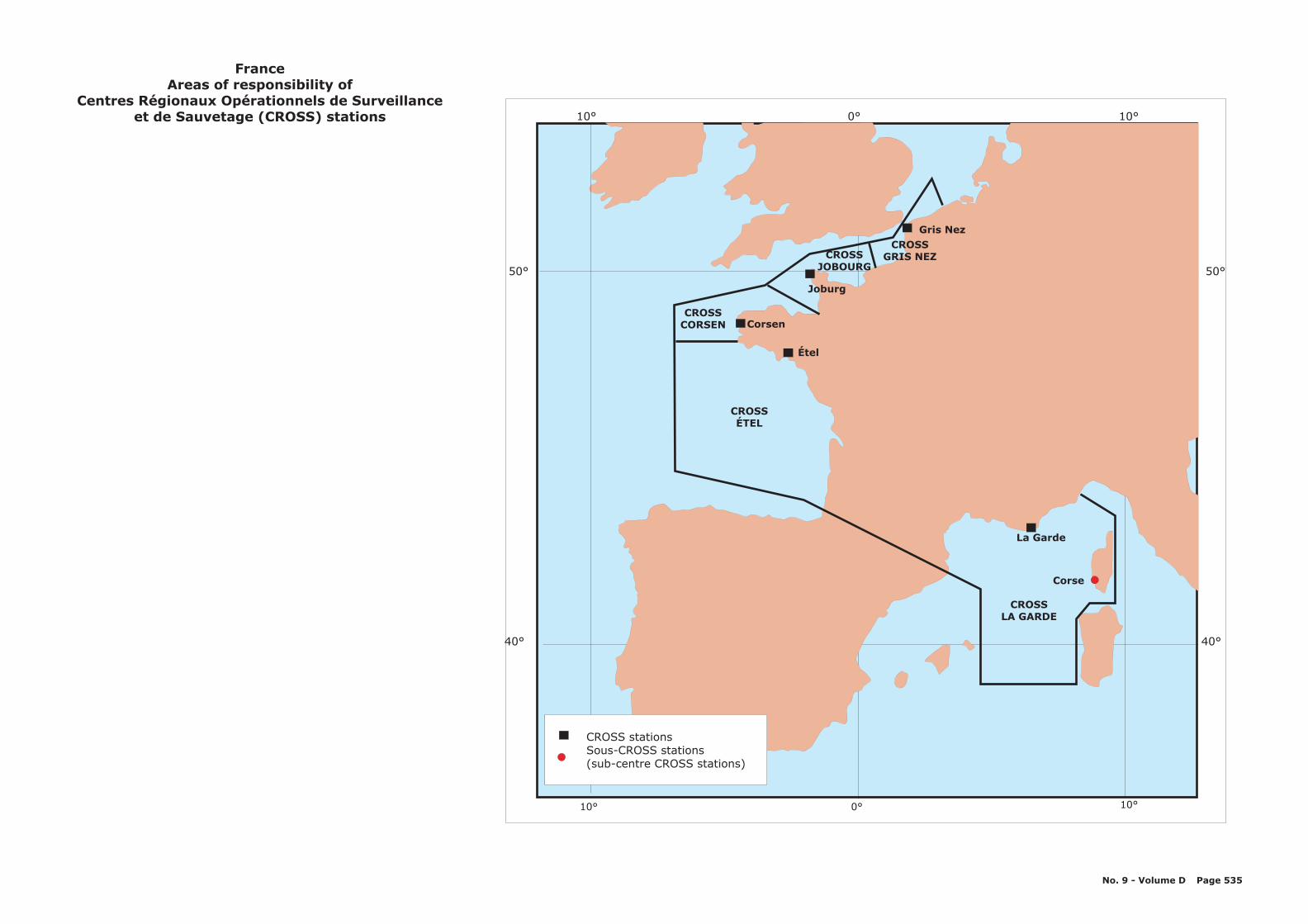
10° 0° 10°
10° 0° 10°
50°
40°
50°
40°
La Garde
CROSSLA GARDE
Corse
Corsen
Étel
Joburg
Gris Nez
CROSSÉTEL
CROSSCORSEN
CROSSJOBOURG
CROSSGRIS NEZ
CROSS stationsSous-CROSS stations(sub-centre CROSS stations)
FranceAreas of responsibility of
Centres Régionaux Opérationnels de Surveillanceet de Sauvetage (CROSS) stations
No. 9 - Volume D Page 535
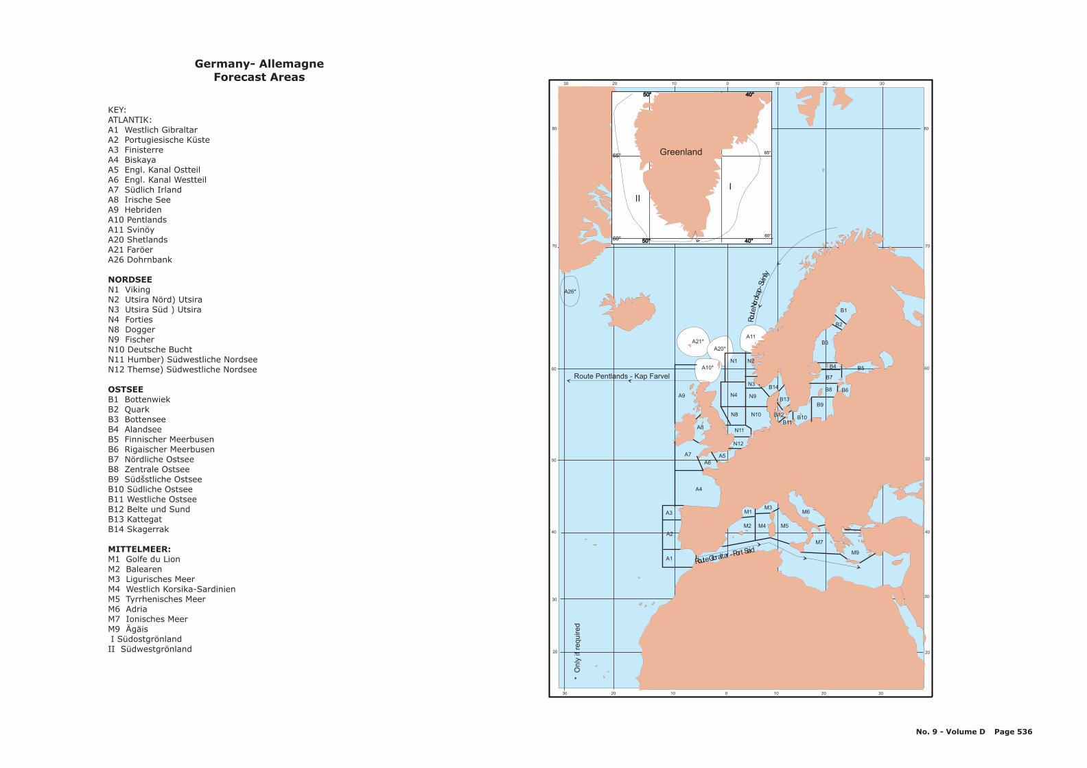
30 20 10 0 10 20 30
30 20 10 0 10 20 30
20
40
60
80
70
50
30
20
40
60
80
70
50
30
A1
A3
A4
A7
A8
A9
A6A5
N12
N11
B1
A26*
B2
B3
B14
N1A10*
A20*
A11A21*
N2
N3
N9
N10
N4
N8
B13
B4 B5
B6
B7
B9
B10B11
B12
B8
M3
M2
M1
M4 M5
M6
M7
M9
A2
65°
60°
65°
60°50° 40°50° 40°
50° 40°50° 40°
Greenland
III
Rout
eNor
dkap
-Svin
šy
Route Pentlands - Kap Farvel
RouteGibraltar-Port Said
*O
nly
ifre
quired
Germany- AllemagneForecast Areas
KEY:ATLANTIK:A1 Westlich GibraltarA2 Portugiesische KüsteA3 FinisterreA4 BiskayaA5 Engl. Kanal OstteilA6 Engl. Kanal WestteilA7 Südlich IrlandA8 Irische SeeA9 HebridenA10 Pentlands
N11 Humber) Südwestliche NordseeN12 Themse) Südwestliche Nordsee
B1 BottenwiekB2 QuarkB3 BottenseeB4 AlandseeB5 Finnischer MeerbusenB6 Rigaischer MeerbusenB7 Nördliche OstseeB8 Zentrale OstseeB9 Südšstliche OstseeB10 Südliche OstseeB11 Westliche OstseeB12 Belte und SundB13 KattegatB14 Skagerrak
M1 Golfe du LionM2 BalearenM3 Ligurisches MeerM4 Westlich Korsika-SardinienM5 Tyrrhenisches MeerM6 AdriaM7 Ionisches MeerM9 ÄgäisI SüdostgrönlandII Südwestgrönland
A11 SvinöyA20 ShetlandsA21 FaröerA26 Dohrnbank
N1 VikingN2 Utsira Nörd) UtsiraN3 Utsira Süd ) UtsiraN4 FortiesN8 DoggerN9 FischerN10 Deutsche Bucht
NORDSEE
OSTSEE
MITTELMEER:
No. 9 - Volume D Page 536
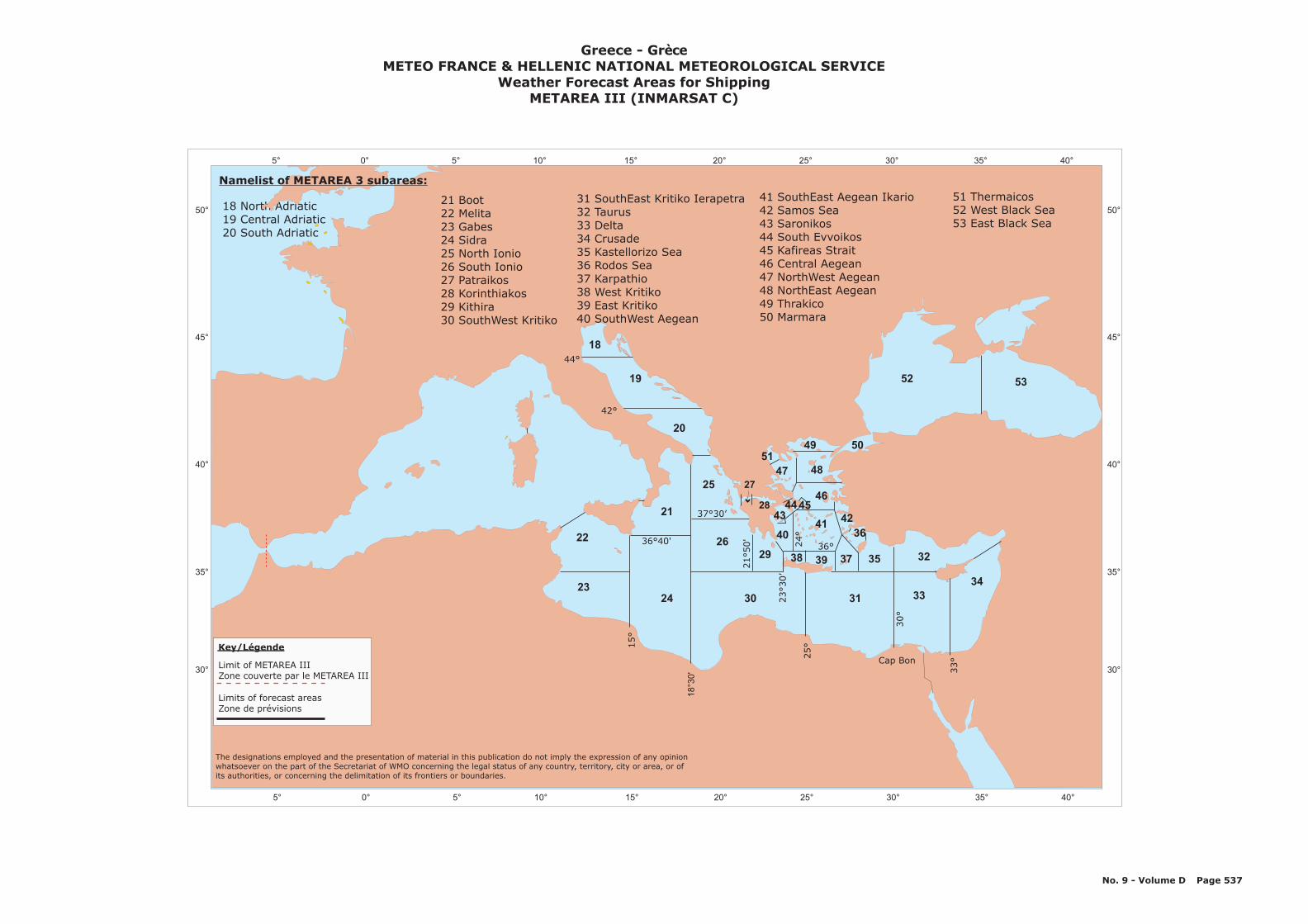
5° 0° 5° 10° 15° 20° 25° 30° 35° 40°
50°
45°
40°
35°
30°
5219
20
25
21
24 30 31
2629
18
22
2333
32
34
3537
36
38 39
40
4344
4142
49 5051
2846
47 48
45
18 North Adriatic19 Central Adriatic20 South Adriatic
21 Boot22 Melita23 Gabes24 Sidra25 North Ionio26 South Ionio27 Patraikos28 Korinthiakos29 Kithira30 SouthWest Kritiko
31 SouthEast Kritiko Ierapetra32 Taurus33 Delta34 Crusade35 Kastellorizo Sea36 Rodos Sea37 Karpathio38 West Kritiko39 East Kritiko40 SouthWest Aegean
41 SouthEast Aegean Ikario42 Samos Sea43 Saronikos44 South Evvoikos45 Kafireas Strait46 Central Aegean47 NorthWest Aegean48 NorthEast Aegean49 Thrakico50 Marmara
Cap Bon
5° 0° 5° 10° 15° 20° 25° 30° 35° 40°
50°
45°
40°
35°
30°
53
Limit of METAREA IIIZone couverte par le METAREA III
Limits of forecast areasZone de prévisions
Key/Légende
51 Thermaicos52 West Black Sea53 East Black Sea
33°
18
°30
'
25°
30°
15°
36 40'°
21°50'
23
30’
°
36°24°
27
37°30’
44°
42°
Namelist of METAREA 3 subareas:
The designations employed and the presentation of material in this publication do not imply the expression of any opinionwhatsoever on the part of the Secretariat of WMO concerning the legal status of any country, territory, city or area, or ofits authorities, or concerning the delimitation of its frontiers or boundaries.
Greece - GrMETEO FRANCE & HELLENIC NATIONAL METEOROLOGICAL SERVICE
Weather Forecast Areas for ShippingMETAREA III (INMARSAT C)
èce
No. 9 - Volume D Page 537
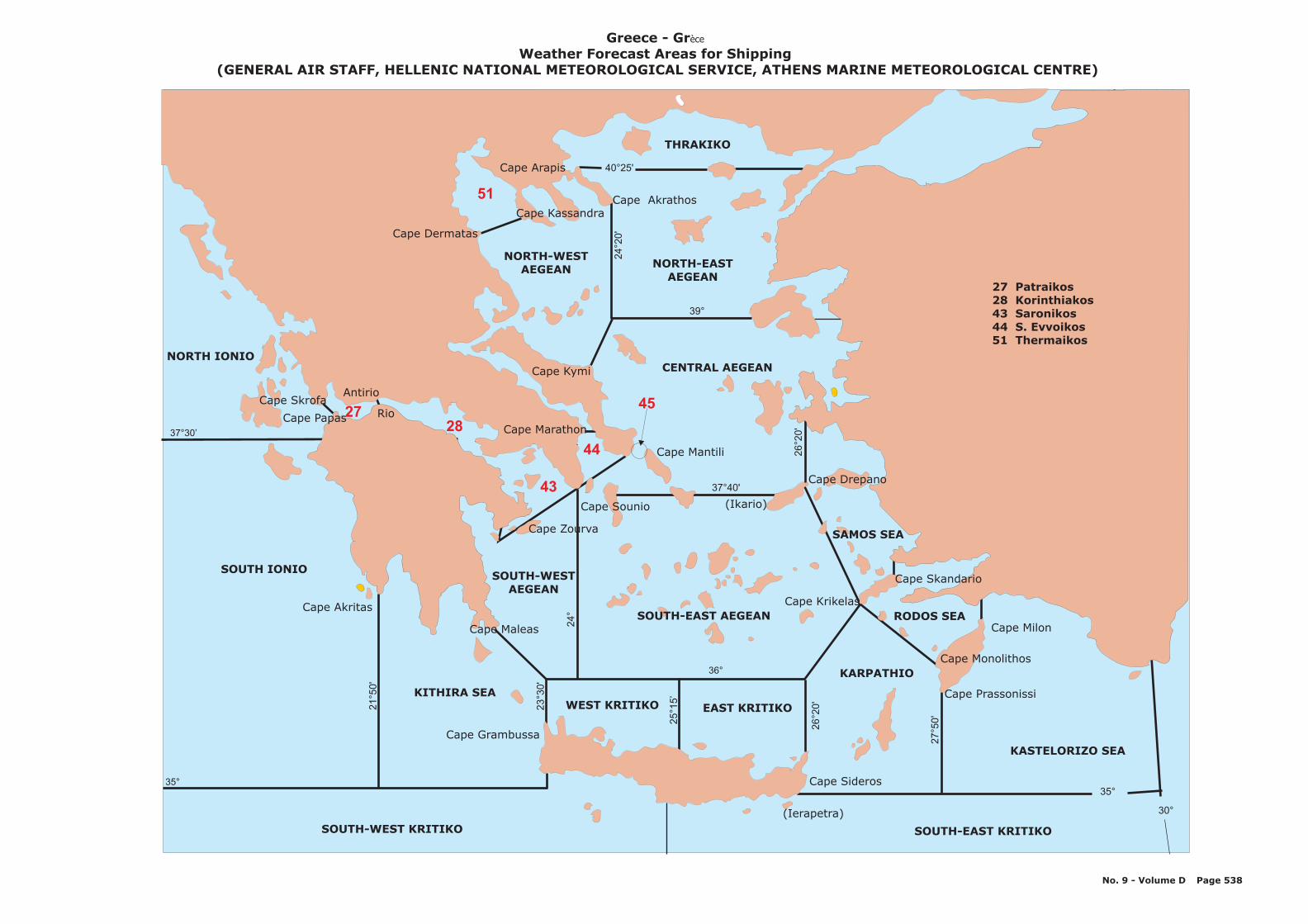
Cape Kissavos
Cape Emvolo
Antirrio
Cape Marathon
Cape Mantili
Cape Kimi
Cape Milon
Cape Sideros
Cape Grambussa
Cape Akritas
SOUTH-WEST KRITIKO
KITHIRA SEA
SOUTH-WESTAEGEAN
EAST KRITIKOWEST KRITIKO
SOUTH-EAST KRITIKO
KASTELORIZO SEA
KARPATHIO
Cape Krikelas
RODOS SEA
CENTRAL AEGEAN
NORTH-WESTAEGEAN
THRAKIKO
NORTH IONIO
Rio
SOUTH IONIO
37°30’
35°
40°25'
51
45
44
43
28
39°
37°40'
36°
35°
30°2
6°2
0'
27
°50
'
26
°20
'
24
°
25
°15
’
24
°2
0'
23
°30
'
21
°50
'
27 Patraikos28 Korinthiakos43 Saronikos44 S. Evvoikos51 Thermaikos
Cape Papas
Cape Sounio
SAMOS SEA
NORTH-EASTAEGEAN
Cape Drepano
(Ikario)
Cape Monolithos
(Ierapetra)
Cape SkrofaAntirio
Rio
Cape Skandario
Cape Arapis
Cape AkrathosCape Kassandra
Cape Kymi
Cape Marathon
Cape Dermatas
Cape Maleas
Cape Prassonissi
27
Greece - Grèce
Weather Forecast Areas for Shipping(GENERAL AIR STAFF, HELLENIC NATIONAL METEOROLOGICAL SERVICE, ATHENS MARINE METEOROLOGICAL CENTRE)
SOUTH-EAST AEGEAN
No. 9 - Volume D Page 538
Cape Zourva
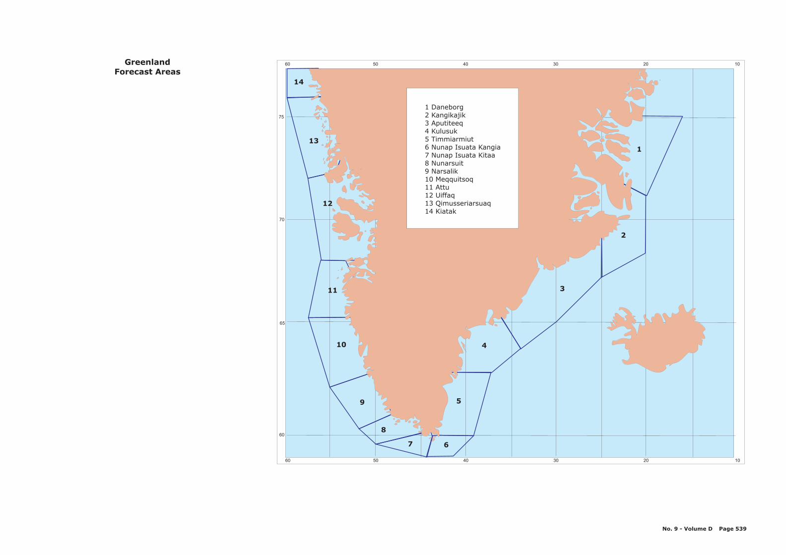
102030405060
102030405060
60
70
65
75
13
14
12
1
2
3
10
11
9
8
7 6
5
4
GreenlandForecast Areas
No. 9 - Volume D Page 539
1 Daneborg2 Kangikajik3 Aputiteeq4 Kulusuk5 Timmiarmiut6 Nunap Isuata Kangia7 Nunap Isuata Kitaa8 Nunarsuit9 Narsalik10 Meqquitsoq11 Attu12 Uiffaq13 Qimusseriarsuaq14 Kiatak
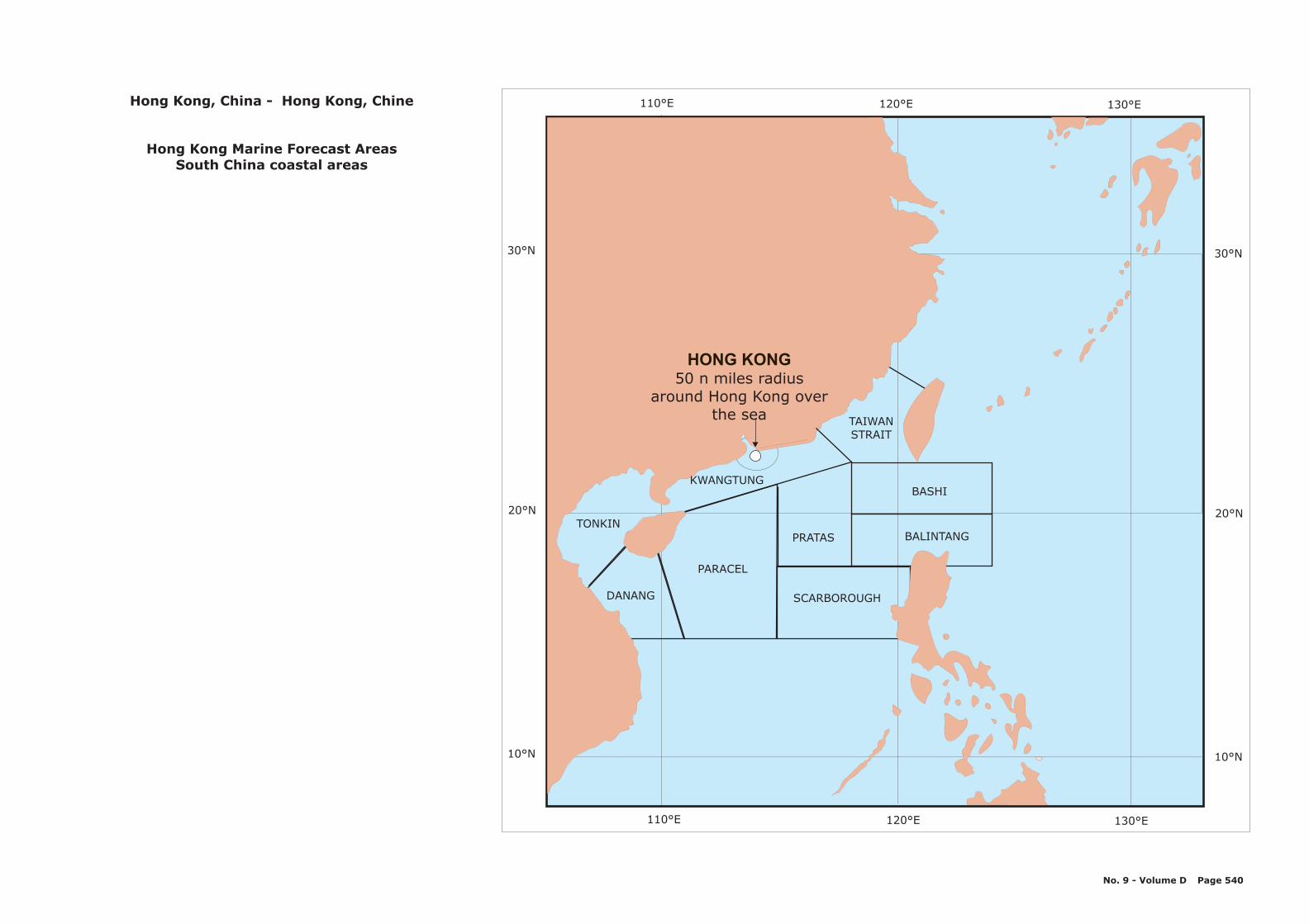
110°E 120°E 130°E
10°N
20°N
30°N
DANANG
PARACEL
TONKIN
KWANGTUNG
TAIWANSTRAIT
SCARBOROUGH
PRATAS
BASHI
BALINTANG
110°E 120°E 130°E
10°N
20°N
30°N
HONG KONG50 n miles radius
around Hong Kong overthe sea
Hong Kong, China -
Hong Kong Marine Forecast AreasSouth China coastal areas
Hong Kong, Chine
No. 9 - Volume D Page 540

50° 40° 30° 20° 10° 0°
50° 40° 30° 20° 10° 0°
70°
60°
70°
60°
Sudvesturdjúp Sudurdjúp Sudausturdjúp
Vesturdjúp
Faereyjadjúp
Austurdjúp
Nordurdjúp
91
3
2
45
67
8
Iceland - Islande
No. 9 - Volume D Page 541
1 Sudvesturmid (SW-banks)2 Faxaflóamid (W-banks, southern part)3 Breidafjardarmid (W-banks, northern part)4 Vestfjardamid (NW-banks)5 Nordvesturmid (N-banks, western part)6 Nordausturmid (N-banks, eastern part)7 Austurmid (E-banks, northern part)8 Austfjardamid (E-banks, southern part)9 Sudausturmid (SE-banks)
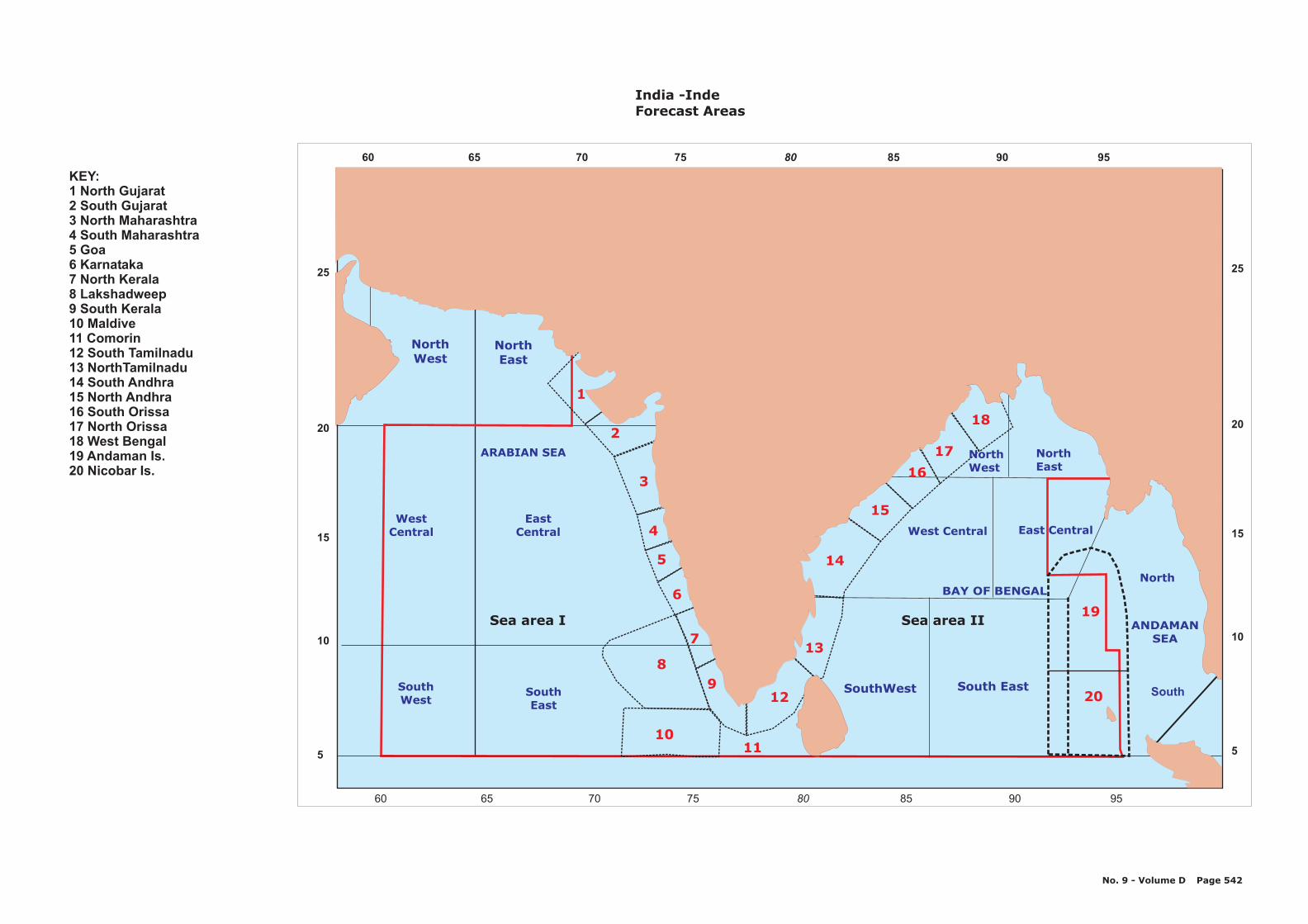
1
2
3
4
5
6
7
89
1011
12
13
14
16
17
19
20
15
18
NorthWest
NorthEast
North
SouthSouthWest
SouthEast
WestCentral
EastCentral
ARABIAN SEA
SouthWest South East
Sea area I
West Central East Central
NorthWest
NorthEast
ANDAMANSEA
BAY OF BENGAL
Sea area II
KEY:1 North Gujarat2 South Gujarat3 North Maharashtra4 South Maharashtra5 Goa6 Karnataka7 North Kerala8 Lakshadweep9 South Kerala10 Maldive11 Comorin12 South Tamilnadu13 NorthTamilnadu14 South Andhra15 North Andhra16 South Orissa17 North Orissa18 West Bengal19 Andaman Is.20 Nicobar Is.
India -IndeForecast Areas
No. 9 - Volume D Page 542
8060 65 70 75 85 90 95
8060 65 70 75 85 90 95
20
25
15
10
5
20
25
15
10
5
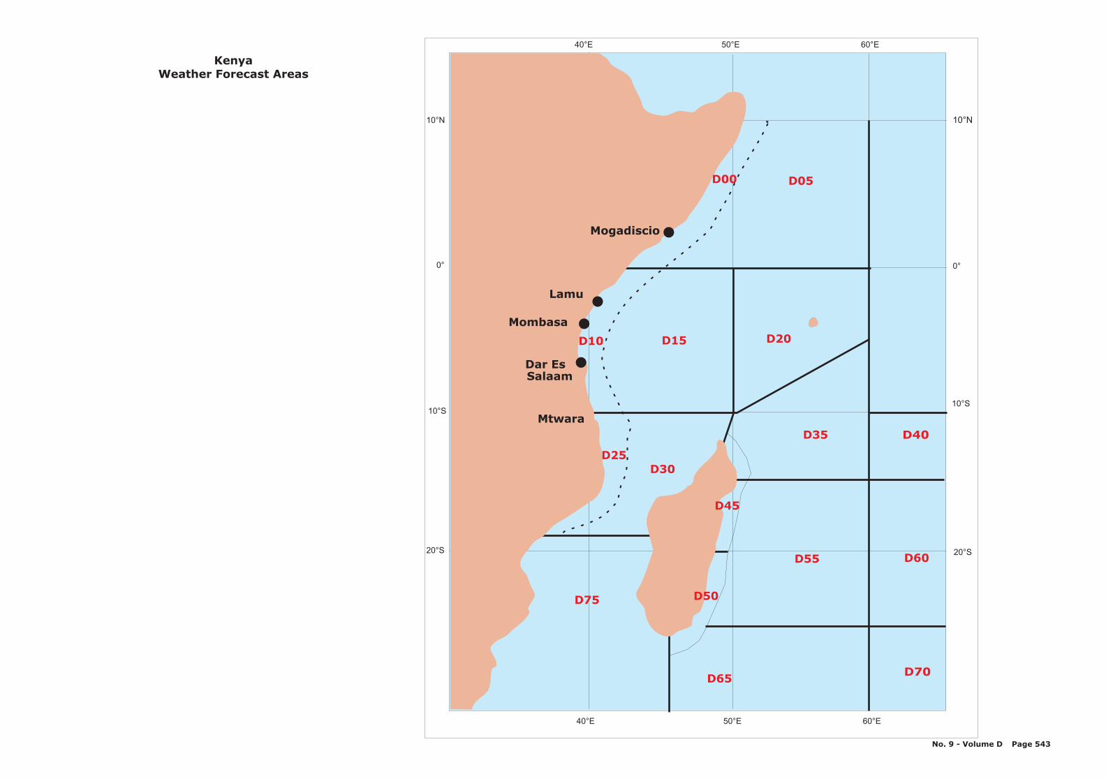
10°N
0°
10°S
20°S
D30
D15 D20
D35
D25
Mtwara
Lamu
Mombasa
Dar EsSalaam
Mogadiscio
D05
10°N
0°
10°S
20°S
40°E 50°E 60°E
40°E 50°E 60°E
D75
D65D70
D55 D60
D40
D45
D50
D10
D00
KenyaWeather Forecast Areas
No. 9 - Volume D Page 543
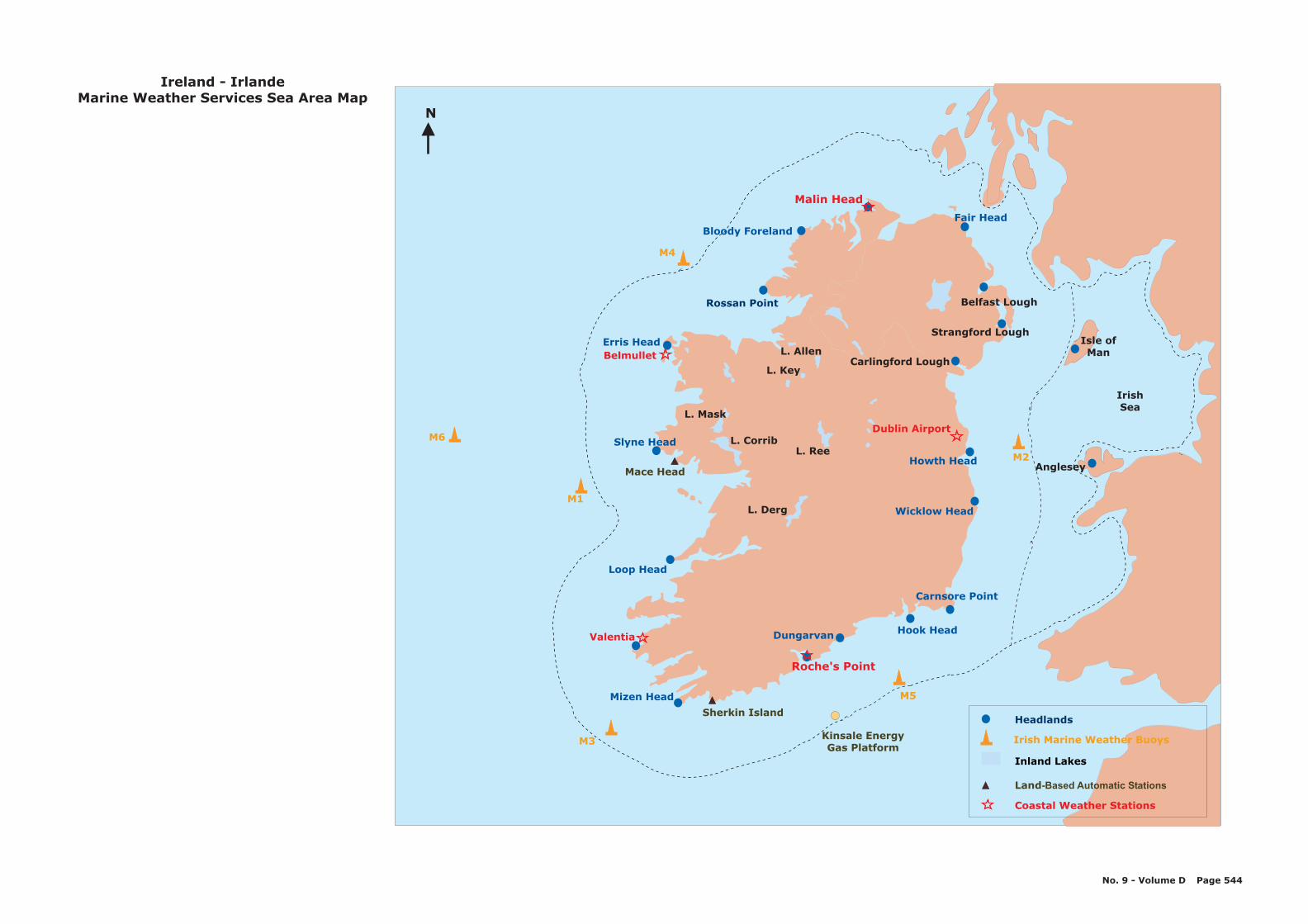
Bloody Foreland
Malin Head
Fair Head
Belfast Lough
Carlingford Lough
Rossan Point
Erris HeadBelmullet
Slyne Head
Loop Head
Valentia
Mizen Head
Roche's Point
Hook Head
Carnsore Point
Wicklow Head
Anglesey
Dublin Airport
Dungarvan
M1
M4
M2
M5
M3
IrishSea
Ireland - IrlandeMarine Weather Services Sea Area Map
No. 9 - Volume D Page 544
Strangford Lough
Sherkin Island
Mace Head
L. Derg
L. ReeL. Corrib
L. Mask
L. Allen
L. Key
Isle ofMan
Kinsale EnergyGas Platform
M6
Howth Head
Headlands
Irish Marine Weather Buoys
Inland Lakes
Land-Based Automatic Stations
Coastal Weather Stations
N
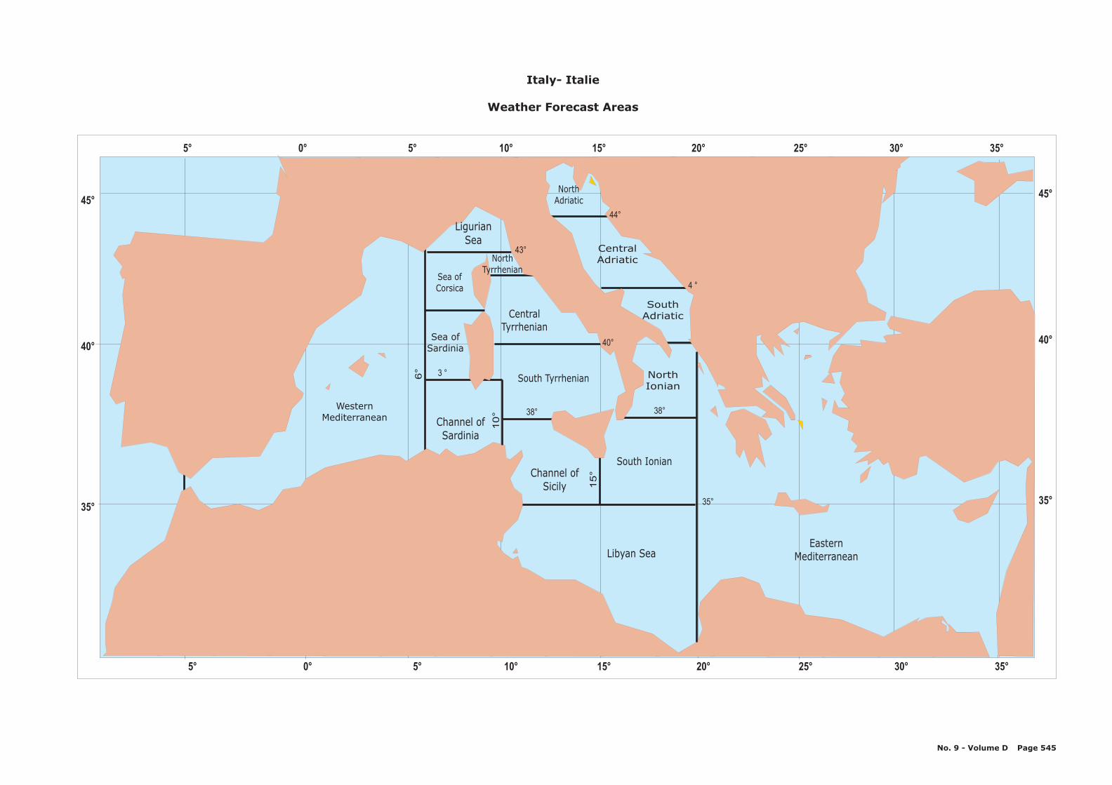
38°
4 °
40°
38°
44°
3 °
43°
35°
6°
10°
15°
Channel ofSardinia
Sea ofSardinia
LigurianSea
Sea ofCorsica
WesternMediterranean
EasternMediterraneanLibyan Sea
Channel ofSicily
South Tyrrhenian
CentralTyrrhenian
NorthTyrrhenian
CentralAdriatic
NorthAdriatic
South Ionian
NorthIonian
SouthAdriatic
Italy- Italie
Weather Forecast Areas
No. 9 - Volume D Page 545
45°
40°
35°
5° 0° 5° 10° 15° 20° 25° 30° 35°
45°
40°
35°
5° 0° 5° 10° 15° 20° 25° 30° 35°
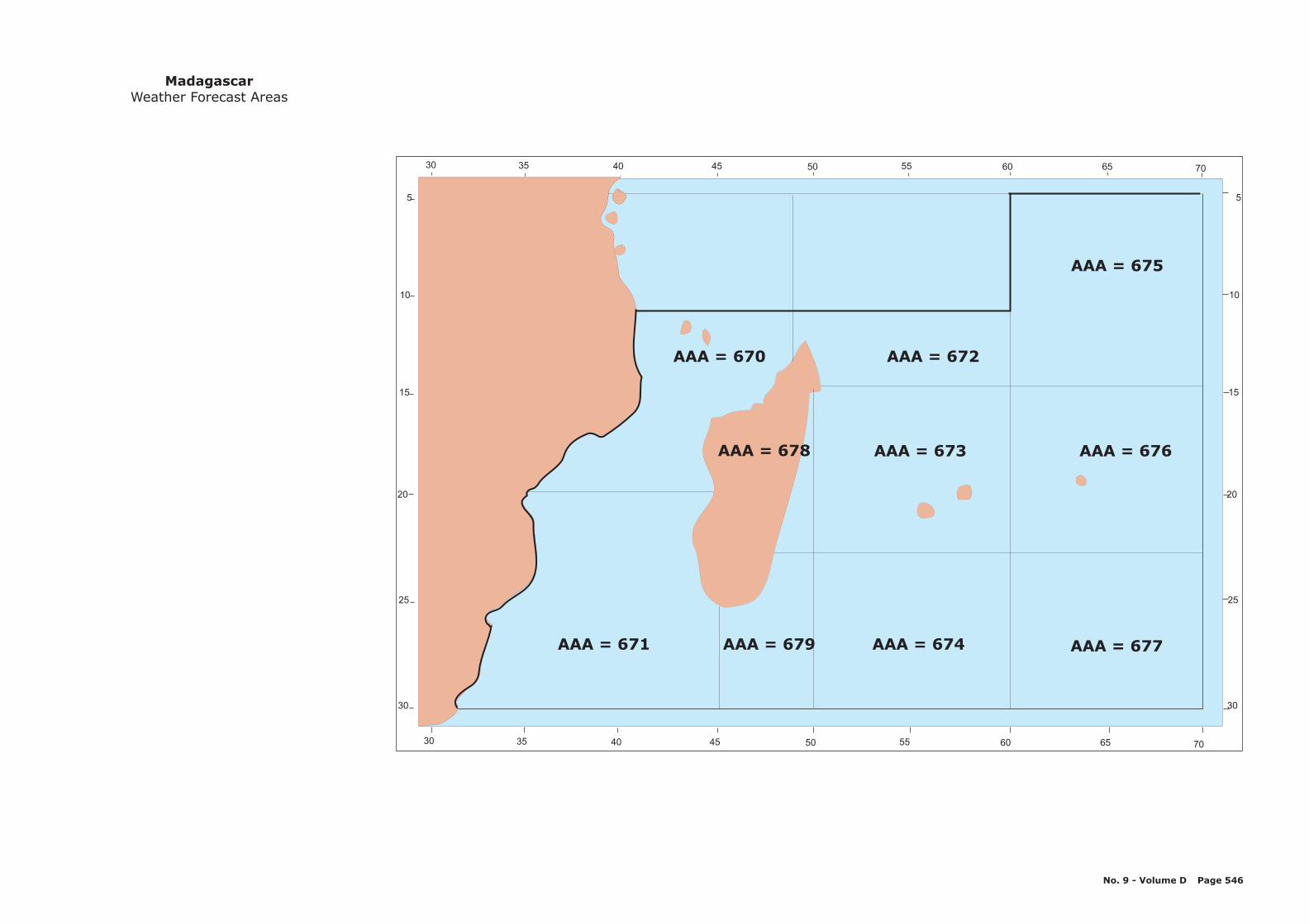
AAA = 675
AAA = 671 AAA = 674 AAA = 677
AAA = 676
AAA = 670 AAA = 672
AAA = 673
AAA = 679
AAA = 678
5
10
15
20
25
30
5
10
15
20
25
30
30
30
35
35
40
40
45
45
50
50
55
55
60
60
65
65
70
70
MadagascarWeather Forecast Areas
No. 9 - Volume D Page 546
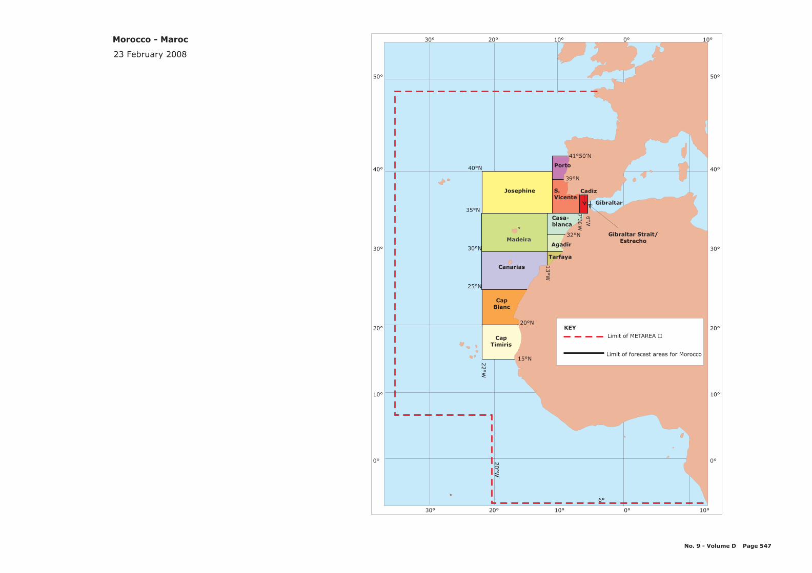
30° 20° 10° 0° 10°
6°
20°W
Madeira
Josephine
CapBlanc
CapTimiris
25°N
30°N
35°N
40°N
Canarias
Agadir
Tarfaya
Porto
39°N
S.Vicente
Gibraltar
6°W
7°3
0’W
Gibraltar Strait/Estrecho
32°N
Casa-blanca
41°50’N
20°N
13°W
30° 20° 10° 0° 10°
50°
40°
30°
20°
10°
0°
50°
40°
30°
20°
10°
0°
Cadiz
22°W
15°N
Morocco - Maroc
23 February 2008
No. 9 - Volume D Page 547
Limit of METAREA II
Limit of forecast areas for Morocco
KEY
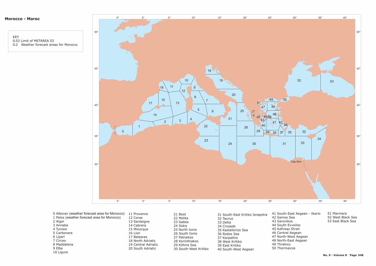
5° 0° 5° 10° 15° 20° 25° 30° 35° 40°
5° 0° 5° 10° 15° 20° 25° 30° 35° 40°
50°
45°
40°
35°
30°
50°
45°
40°
35°
30°
5219
20
25
21
24 30 31
2629
18
53
7
6
8
9
10
11
12
13
14
15
0
1
2 34
5
16
17
22
2333
32
34
3537
36
38 39
40
4344
41 42
49 5051
2846
47 48
KEY0 53 Limit of METAREA III0 2 Weather forecast areas for Morocco
-
-
Morocco - Maroc
45
11 Provence12 Corse13 Sardaigne14 Cabrera15 Minorque16 Lion17 Baleares18 North Adriatic19 Central Adriatic20 South Adriatic
21 Boot22 Melita23 Gabes24 Sidra25 North Ionio26 South Ionio27 Patraikos28 Korinthiakos29 Kithira Sea30 South-West Kritiko
31 South-East Kritiko Ierapetra32 Taurus33 Delta34 Crusade35 Kastellorizo Sea36 Rodos Sea37 Karpathio38 West Kritiko39 East Kritiko40 South-West Aegean
41 South-East Aegean - Ikario42 Samos Sea43 Saronikos44 South Evvoilos45 Kafireas Strait46 Central Aegean47 North-West Aegean48 North-East Aegean49 Thrakico50 Thermaicos
0 Alboran1 Palos2 Alger3 Annaba4 Tunisie5 Carbonara6 Lipari7 Circeo8 Maddalena9 Elbe10 Ligura
(weather forecast area for Morocco)(weather forecast area for Morocco)
51 Marmara52 West Black Sea53 East Black Sea
Cap Bon
No. 9 - Volume D Page 548
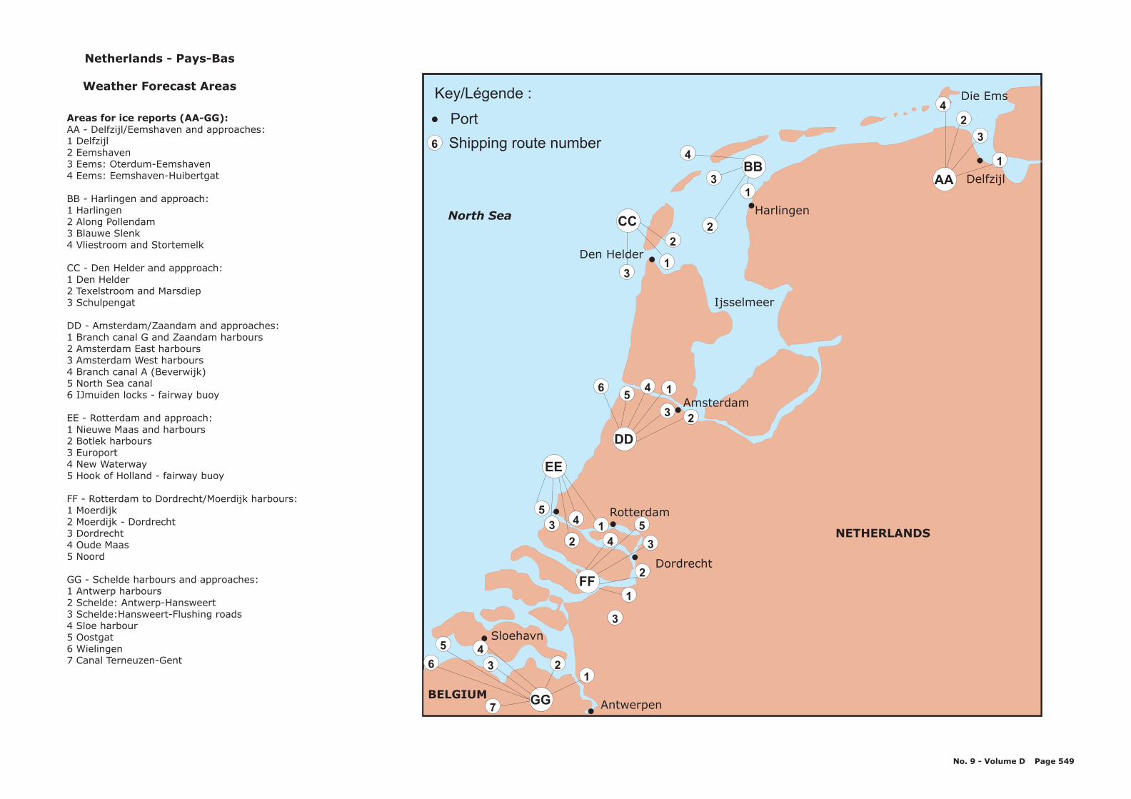
Antwerpen
Sloehavn
Dordrecht
Rotterdam
Amsterdam
Den Helder
Harlingen
Delfzijl
GG
FF
4
EE
DD
CCNorth Sea
BBAA
Ijsselmeer
NETHERLANDS
BELGIUM
Key/Légende :
Port
Shipping route number
Die Ems
Netherlands - Pays-Bas
Weather Forecast Areas
AA - Delfzijl/Eemshaven and approaches:1 Delfzijl2 Eemshaven3 Eems: Oterdum-Eemshaven4 Eems: Eemshaven-Huibertgat
BB - Harlingen and approach:1 Harlingen2 Along Pollendam3 Blauwe Slenk4 Vliestroom and Stortemelk
CC - Den Helder and appproach:1 Den Helder2 Texelstroom and Marsdiep3 Schulpengat
DD - Amsterdam/Zaandam and approaches:1 Branch canal G and Zaandam harbours2 Amsterdam East harbours3 Amsterdam West harbours4 Branch canal A (Beverwijk)5 North Sea canal6 IJmuiden locks - fairway buoy
Areas for ice reports (AA-GG):
EE - Rotterdam and approach:1 Nieuwe Maas and harbours2 Botlek harbours3 Europort4 New Waterway5 Hook of Holland - fairway buoy
FF - Rotterdam to Dordrecht/Moerdijk harbours:1 Moerdijk2 Moerdijk - Dordrecht3 Dordrecht4 Oude Maas5 Noord
GG - Schelde harbours and approaches:1 Antwerp harbours2 Schelde: Antwerp-Hansweert3 Schelde:Hansweert-Flushing roads4 Sloe harbour5 Oostgat6 Wielingen7 Canal Terneuzen-Gent
No. 9 - Volume D Page 549
5
3 1
2
2
3
4
1
3
5
1
23
56 4
31
2
2
13
4
4
2
3
1
23
45
6
7
1
6
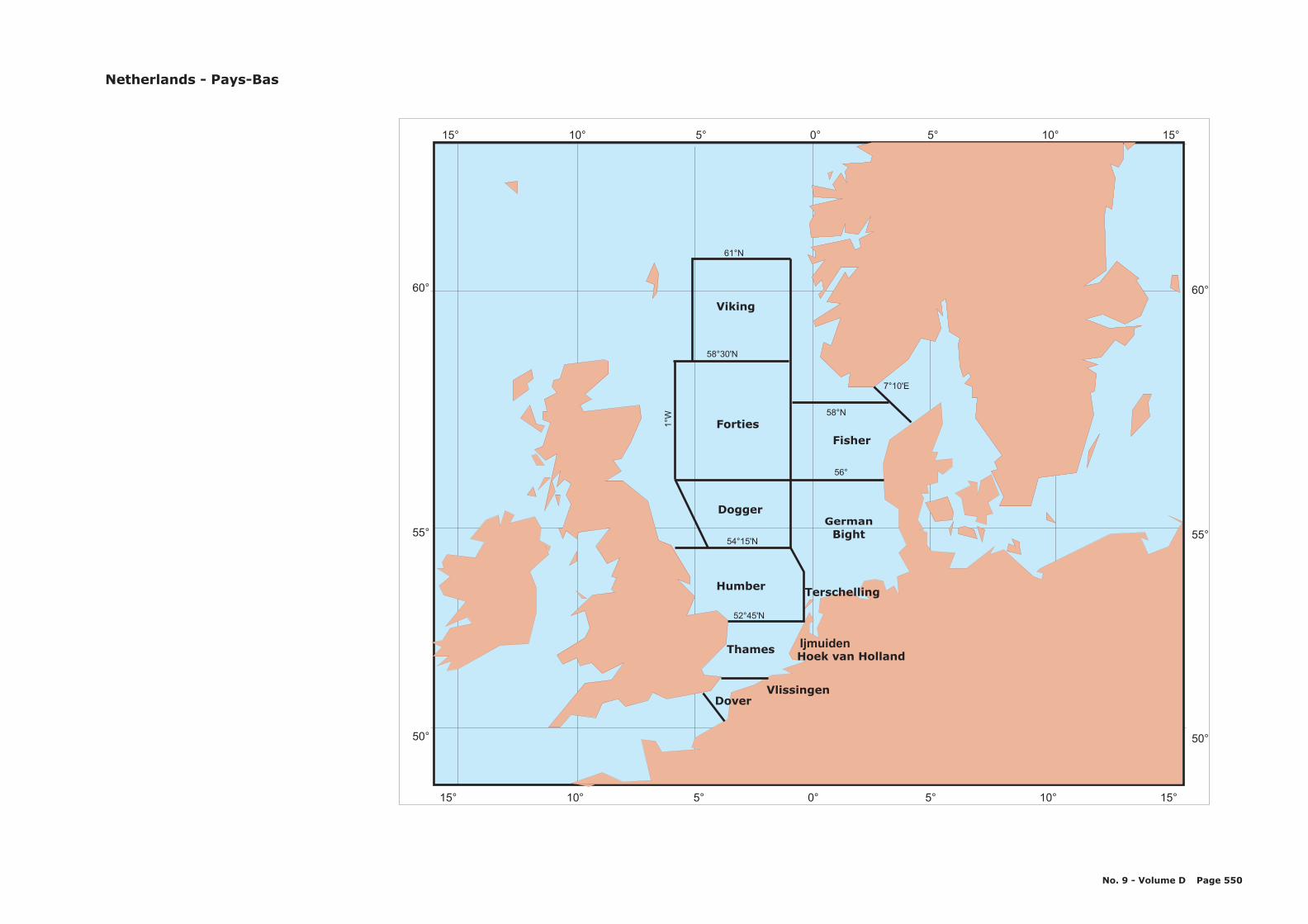
15° 10 5 0 5 10 15° ° ° ° ° °
15° 10 5 0 5 10 15° ° ° ° ° °
60°60°
55°55°
50°50°
61°N
52°45'N
56°
58°30'N
58°N
7°10'E
54°15'N
1°W
Viking
Forties
Dogger
Humber
Thames
Dover
GermanBight
Fisher
Vlissingen
Hoek van HollandIjmuiden
Terschelling
Netherlands - Pays-Bas
No. 9 - Volume D Page 550
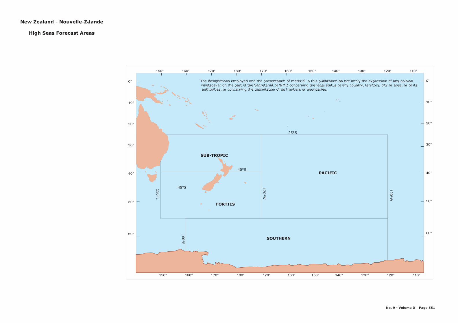
150° 160° 170° 180° 170° 160° 150° 140° 130° 110°120°
FORTIES
SUB-TROPIC
PACIFIC
25°S
40°S
45°S
160°E
150°E
170°W
120°W
150° 160° 170° 180° 170° 160° 150° 140° 130° 110°120°
0°
10°
20°
30°
40°
50°
60°
0°
10°
20°
30°
40°
50°
60°
SOUTHERN
The designations employed and the presentation of material in this publication do not imply the expression of any opinionwhatsoever on the part of the Secretariat of WMO concerning the legal status of any country, territory, city or area, or of itsauthorities, or concerning the delimitation of its frontiers or boundaries.
New Zealand - Nouvelle-Z lande
High Seas Forecast Areas
é
No. 9 - Volume D Page 551
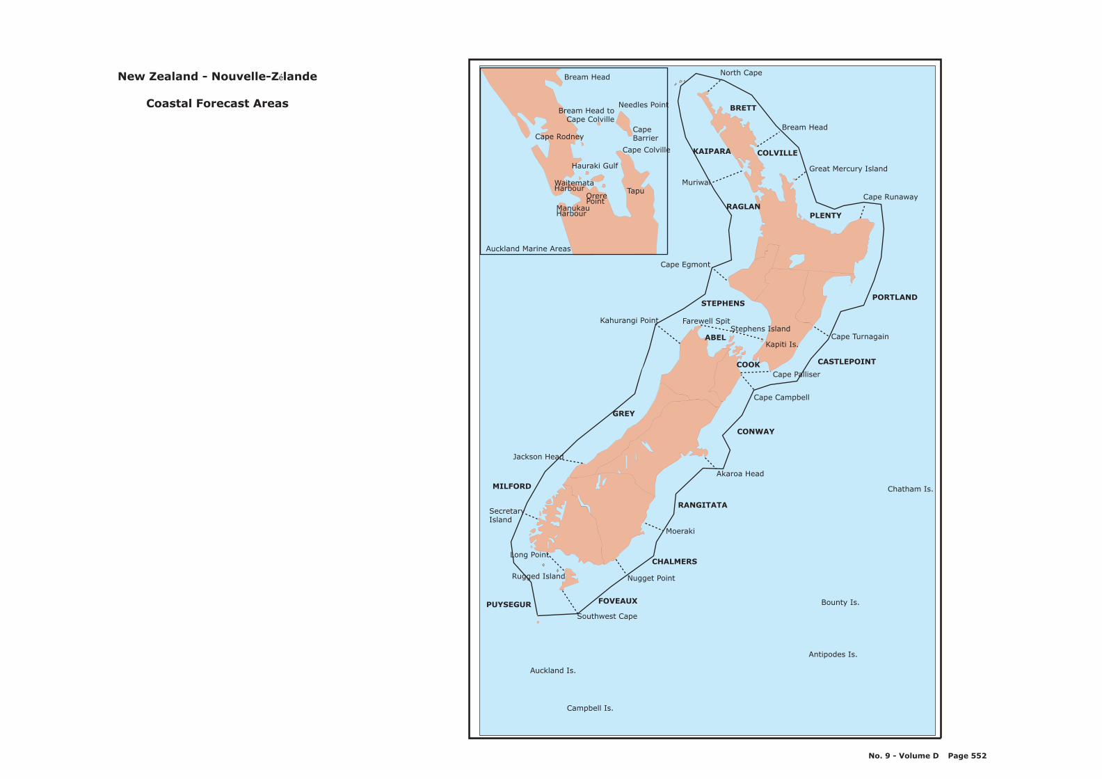
Nugget Point
Moeraki
Akaroa Head
Cape Palliser
Jackson Head
SecretaryIsland
Muriwai
Cape Egmont
North Cape
Bream Head
Cape Runaway
Cape Turnagain
Auckland Is.
Campbell Is.
Antipodes Is.
Bounty Is.
Chatham Is.
Farewell SpitStephens Island
Kapiti Is.
Long Point
Cape Campbell
Southwest Cape
Rugged Island
Great Mercury Island
BRETT
CONWAY
CASTLEPOINT
COLVILLE
PLENTY
FOVEAUX
KAIPARA
RAGLAN
STEPHENS
ABEL
GREY
MILFORD
PUYSEGUR
CHALMERS
PORTLAND
RANGITATA
Kahurangi Point
Bream Head
Needles Point
CapeBarrier
TapuOrerePoint
Cape Colville
Cape Rodney
WaitemataHarbour
ManukauHarbour
COOK
Bream Head toCape Colville
Hauraki Gulf
Auckland Marine Areas
New Zealand - Nouvelle-Z lande
Coastal Forecast Areas
é
No. 9 - Volume D Page 552
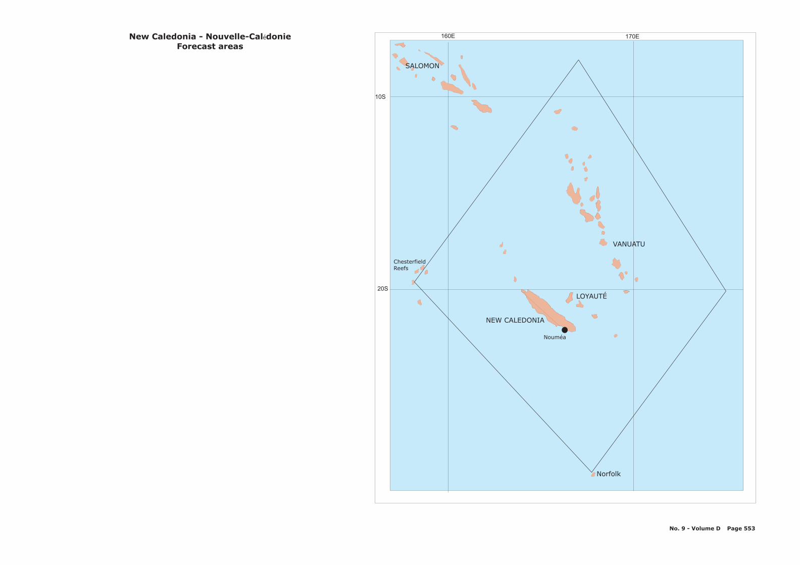
170E160E
10S
20S
Norfolk
Nouméa
ChesterfieldReefs
VANUATU
LOYAUTÉ
NEW CALEDONIA
SALOMON
New Caledonia - Nouvelle-Cal donieForecast areas
é
No. 9 - Volume D Page 553
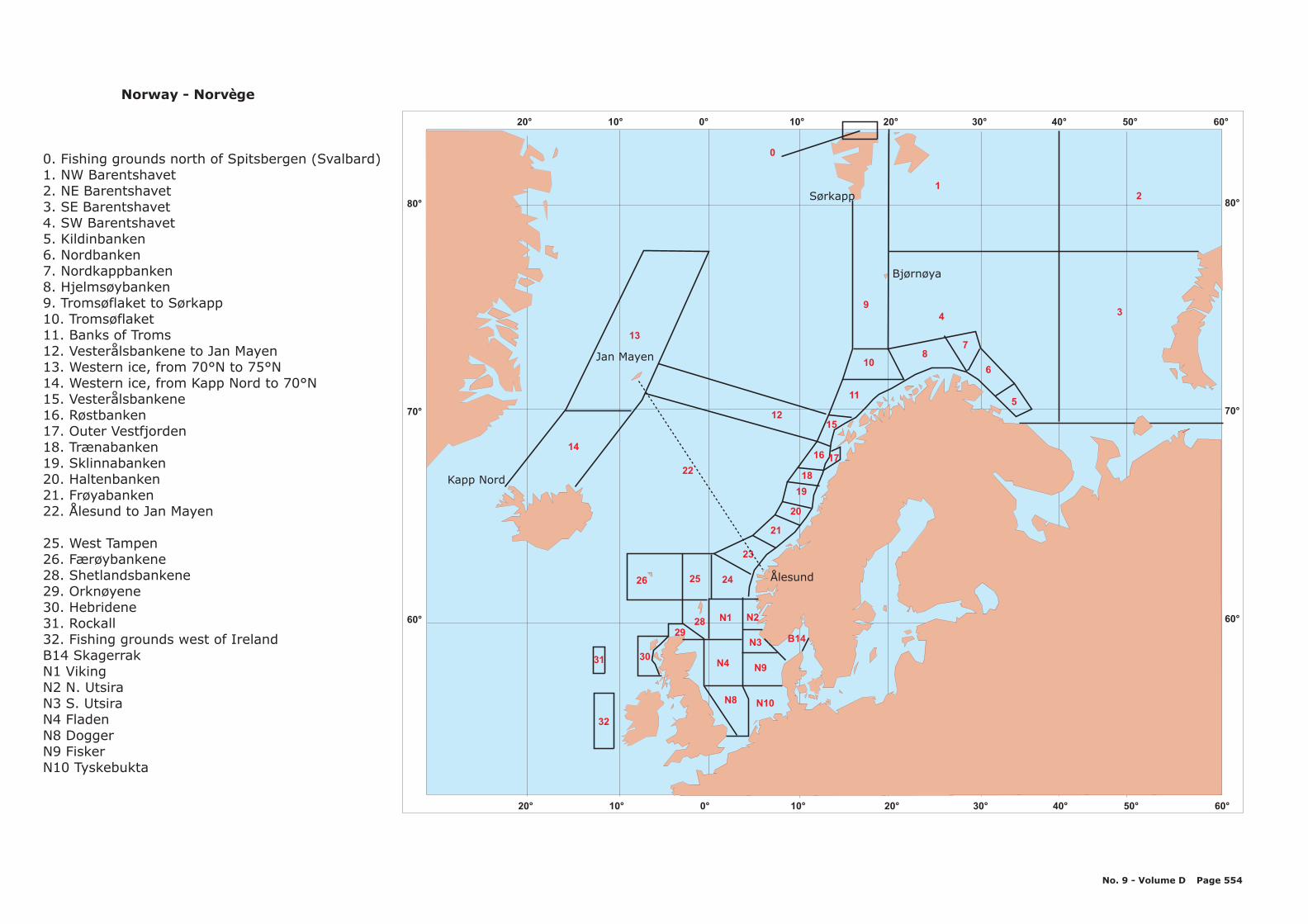
N1
N4
4
5
12
3
6
78
1512
22
14
13
0
10
9
11
N8 N10
B14
N9
N3
N2
31
23
21
20
19
16
18
17
2829
30
26 25 24
Jan Mayen
Kapp Nord
S rkappø
Bj rn yaø ø
Ålesund
Norway - Norv geè
0. Fishing grounds north of Spitsbergen (Svalbard)1. NW Barentshavet2. NE Barentshavet3. SE Barentshavet4. SW Barentshavet5. Kildinbanken6. Nordbanken7. Nordkappbanken8. Hjelmsøybanken9. Tromsøflaket to Sørkapp10. Tromsøflaket11. Banks of Troms12. Vesterålsbankene to Jan Mayen13. Western ice, from 70°N to 75°N14. Western ice, from Kapp Nord to 70°N15. Vesterålsbankene16. Røstbanken17. Outer Vestfjorden18. Trænabanken19. Sklinnabanken20. Haltenbanken21. Frøyabanken22. Ålesund to Jan Mayen
25. West Tampen26. Færøybankene28. Shetlandsbankene29. Orknøyene30. Hebridene31. Rockall32. Fishing grounds west of IrelandB14 SkagerrakN1 VikingN2 N. UtsiraN3 S. UtsiraN4 FladenN8 DoggerN9 FiskerN10 Tyskebukta
No. 9 - Volume D Page 554
32
80°
70°
60°
20° 10° 0° 10° 20° 30° 40° 50° 60°
80°
70°
60°
20° 10° 0° 10° 20° 30° 40° 50° 60°
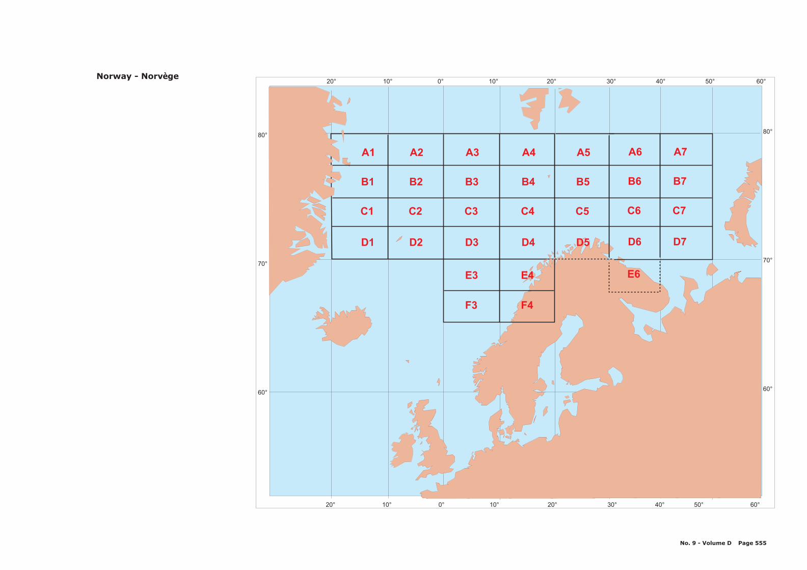
20° 10° 0° 10° 20° 30° 40° 50° 60°
20° 10° 0° 10° 20° 30° 40° 50° 60°
80°
70°
60°
80°
70°
60°
A1 A2 A3 A4 A5 A6 A7
B1 B2 B3 B4 B5 B6 B7
C1 C2 C3 C4 C5 C6 C7
D1 D2 D3
E3
F3 F4
E4 E6
D4 D5 D6 D7
Norway - Norv geè
No. 9 - Volume D Page 555
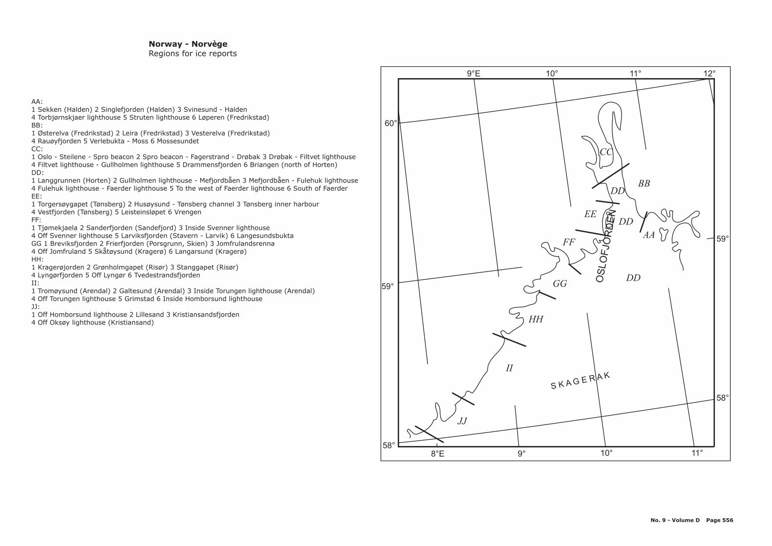
AA:1 Sekken (Halden) 2 Singlefjorden (Halden) 3 Svinesund - Halden4 Torbjørnskjaer lighthouse 5 Struten lighthouse 6 Løperen (Fredrikstad)BB:1 Østerelva (Fredrikstad) 2 Leira (Fredrikstad) 3 Vesterelva (Fredrikstad)4 Rauøyfjorden 5 Verlebukta - Moss 6 MossesundetCC:1 Oslo - Steilene - Spro beacon 2 Spro beacon - Fagerstrand - Drøbak 3 Drøbak - Filtvet lighthouse4 Filtvet lighthouse - Gullholmen lighthouse 5 Drammensfjorden 6 Briangen (north of Horten)DD:1 Langgrunnen (Horten) 2 Gullholmen lighthouse - Mefjordbåen 3 Mefjordbåen - Fulehuk lighthouse4 Fulehuk lighthouse - Faerder lighthouse 5 To the west of Faerder lighthouse 6 South of FaerderEE:1 Torgersøygapet (Tønsberg) 2 Husøysund - Tønsberg channel 3 Tønsberg inner harbour4 Vestfjorden (Tønsberg) 5 Leisteinsløpet 6 VrengenFF:1 Tjømekjaela 2 Sanderfjorden (Sandefjord) 3 Inside Svenner lighthouse4 Off Svenner lighthouse 5 Larviksfjorden (Stavern - Larvik) 6 LangesundsbuktaGG 1 Breviksfjorden 2 Frierfjorden (Porsgrunn, Skien) 3 Jomfrulandsrenna4 Off Jomfruland 5 Skåtøysund (Kragerø) 6 Langarsund (Kragerø)HH:1 Kragerøjorden 2 Grønholmgapet (Risør) 3 Stanggapet (Risør)4 Lyngørfjorden 5 Off Lyngør 6 TvedestrandsfjordenII:1 Tromøysund (Arendal) 2 Galtesund (Arendal) 3 Inside Torungen lighthouse (Arendal)4 Off Torungen lighthouse 5 Grimstad 6 Inside Homborsund lighthouseJJ:1 Off Homborsund lighthouse 2 Lillesand 3 Kristiansandsfjorden4 Off Oksøy lighthouse (Kristiansand)
Norway - Norv geè
Regions for ice reports
60°
12°
59°
59°
58°
58°
11°
11°
10°
10°
9°E
8°E 9°
S K A G E R A K
JJ
II
HH
GG
FF
EE
DD
CC
BB
AA
DDOS
LO
FJO
RD
EN
DD
No. 9 - Volume D Page 556
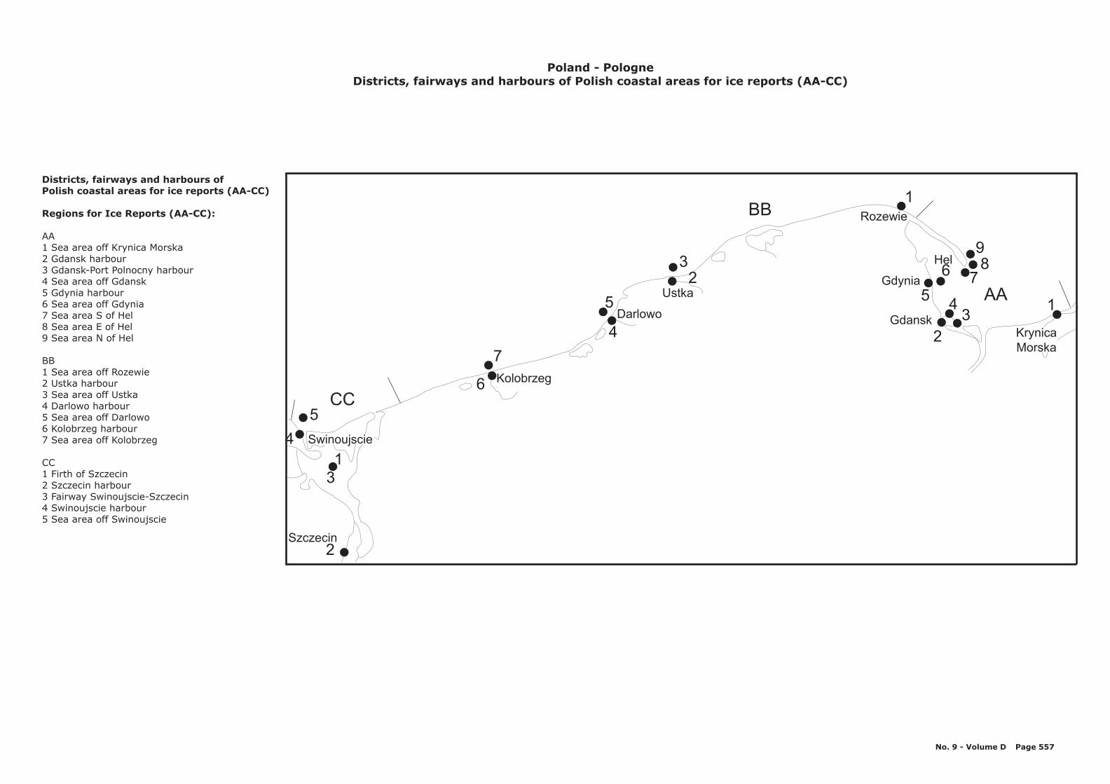
BB
CC
AA
7
6
5
41
3
2
5
4
32
1
98
76
5
2
43
1Gdansk
Gdynia
Rozewie
Ustka
Darlowo
Kolobrzeg
Szczecin
Hel
Swinoujscie
KrynicaMorska
Poland - PologneDistricts, fairways and harbours of Polish coastal areas for ice reports (AA-CC)
Districts, fairways and harbours ofPolish coastal areas for ice reports (AA-CC)
Regions for Ice Reports (AA-CC):
AA1 Sea area off Krynica Morska2 Gdansk harbour3 Gdansk-Port Polnocny harbour4 Sea area off Gdansk5 Gdynia harbour6 Sea area off Gdynia7 Sea area S of Hel8 Sea area E of Hel9 Sea area N of Hel
BB1 Sea area off Rozewie2 Ustka harbour3 Sea area off Ustka4 Darlowo harbour5 Sea area off Darlowo6 Kolobrzeg harbour7 Sea area off Kolobrzeg
CC1 Firth of Szczecin2 Szczecin harbour3 Fairway Swinoujscie-Szczecin4 Swinoujscie harbour5 Sea area off Swinoujscie
No. 9 - Volume D Page 557

Gdynia
55°
10°
3
2
ab
c
15°
20°Poland - Pologne
Weather Forecast Areas
No. 9 - Volume D Page 558
1
1. Western Baltic2. Southern Baltic
a. Western partb. Middle partc. Eastern part
3. Northern Baltic
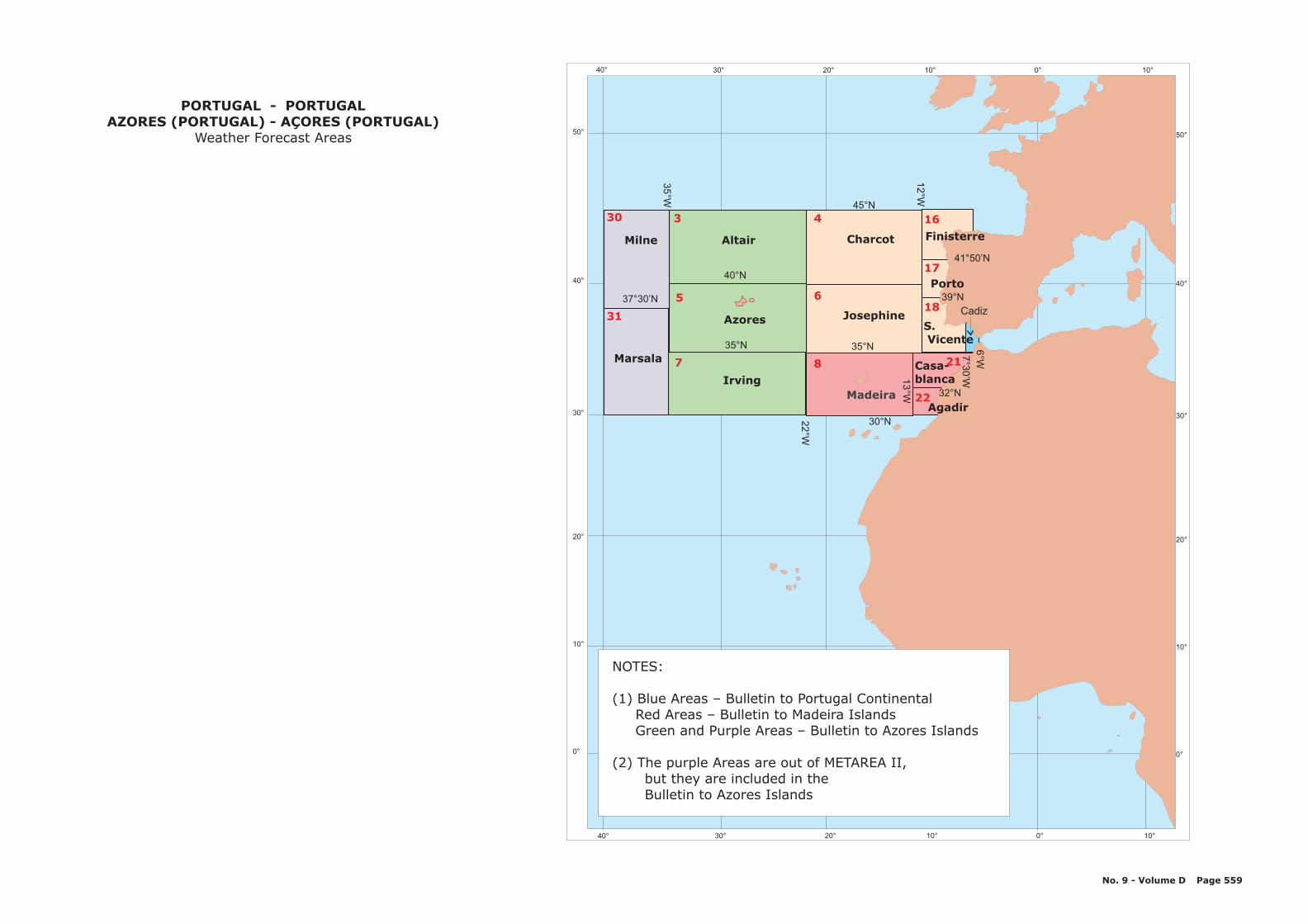
30° 20° 10° 0° 10°
30° 20° 10° 0° 10°
50°
40°
30°
20°
10°
0°
50°
40°
30°
20°
10°
0°
Azores
Irving
AltairMilne
Marsala
Charcot
Madeira
Josephine
30°N22°W
35°W
12°W
7°W
13°W
35°N
37°30’N
35°N
40°N
45°N
Finisterre
Porto
Cadiz
41°50’N
39°N
7°3
0’W
6°W
Casa-blanca
Agadir32°N
40°
40°
S.Vicente
4
6
330
31
5
7 8 21
22
16
17
18
PORTUGAL - PORTUGALAZORES (PORTUGAL) - AÇORES (PORTUGAL)
Weather Forecast Areas
No. 9 - Volume D Page 559
NOTES:
(1) Blue Areas – Bulletin to Portugal ContinentalRed Areas – Bulletin to Madeira IslandsGreen and Purple Areas – Bulletin to Azores Islands
(2) The purple Areas are out of METAREA II,but they are included in theBulletin to Azores Islands
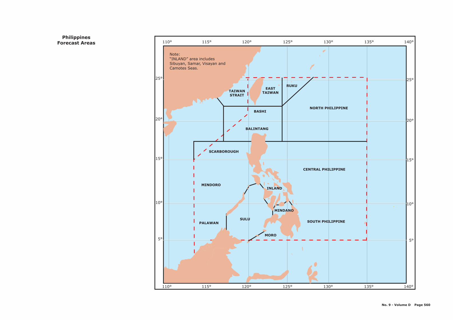
PALAWANSULU
MORO
MINDORO
CENTRAL PHILIPPINE
SCARBOROUGH
NORTH PHILIPPINE
BALINTANG
BASHI
EASTTAIWAN
RUKU
SOUTH PHILIPPINE
120° 130° 140°110° 115° 125° 135°
25°
20°
10°
15°
5°
25°
20°
10°
15°
5°
120° 130° 140°110° 115° 125° 135°
TAIWANSTRAIT
MINDANO
INLAND
PhilippinesForecast Areas
Note:“INLAND” area includesSibuyan, Samar, Visayan andCamotes Seas.
No. 9 - Volume D Page 560

a a
Khor
a
oha
Khor
as a an
Ras Raken
HALUL
Habul Is.
SHURA'WA
Shura'awaBunduq
Dukhan
DOME
2
1 2 3 1
1 2 3
22
2
2
2 13
3
2
2
KEY:1 Inshore North2 Inshore East3 Inshore West
QatarCoastal Forecast Areas
NOTE:
This map shows offshore forecastareas delineated by pecked lines.These lines are arbitrary medianlines and do not denote anyinternational boundaries.
No. 9 - Volume D Page 561
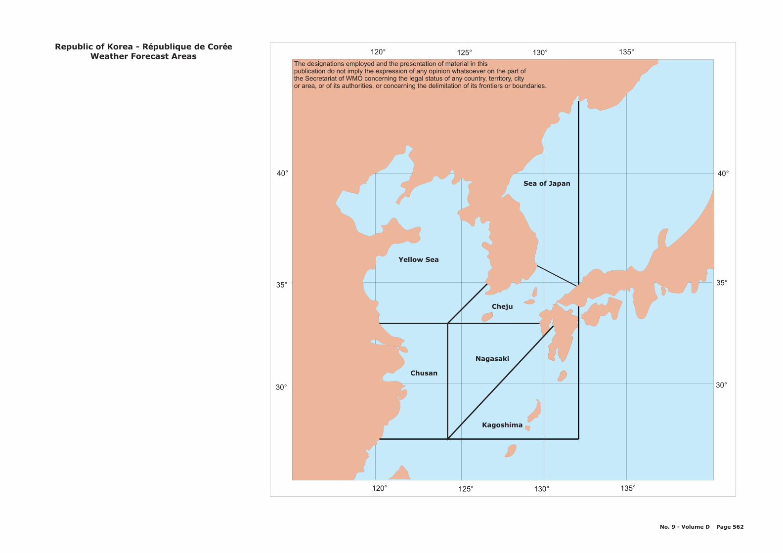
30° 30°
35° 35°
40° 40°
Cheju
Nagasaki
Chusan
Yellow Sea
Sea of Japan
Kagoshima
120° 125° 130° 135°
120° 125° 130° 135°
R - Republic of Korea publique de CorWeather Forecast Areas
é ée
No. 9 - Volume D Page 562
The designations employed and the presentation of material in thispublication do not imply the expression of any opinion whatsoever on the part ofthe Secretariat of WMO concerning the legal status of any country, territory, cityor area, or of its authorities, or concerning the delimitation of its frontiers or boundaries.

AREARSN
APPROACHES
AREAAGN
AREAAGS
AREAGOA
APPR
OA
CH
ES
AREA GAA
KEY:1. Red Sea, north of 20°N - AAA=RSN2. Red Sea, south of 20°N including the Straitsof Bab Al Mandab - AAA=RSS3. Gulf of Aden and approaches - AAA=GAA4. Arabian Gulf North of 26.5°N - AAA=AGN5. Arabian Gulf South of 26.5°N including theStrait of Hormuz - AAA=AGS6. Gulf of Oman and approaches - AAA=GOA
Saudi Arabia rabie Saoudite- AWeather Forecast Areas
AREARSN
No. 9 - Volume D Page 563
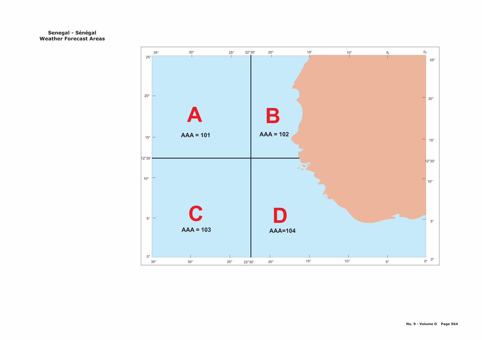
A B
C DAAA=104AAA = 103
AAA = 101 AAA = 102
30° 25° 20°22 30'° 15° 10° 5° 0°35°
0°0°
5°5°
10°10°
15°15°
12 30'°12 30'°
20°20°
25°25°
35° 30° 25° 22 30'° 20° 15° 10° 5¡ 0¡
S - Senegal n galWeather Forecast Areas
é é
No. 9 - Volume D Page 564
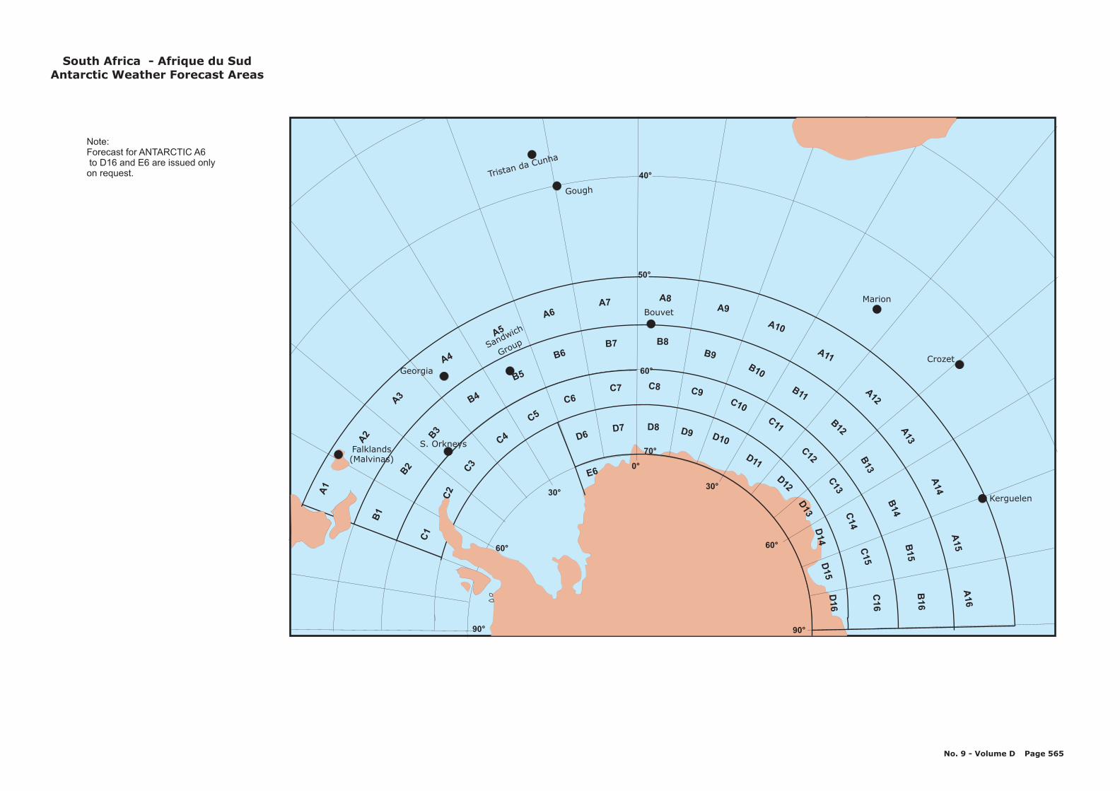
50°
40°
60°
70°
Tristan da Cunha
Gough
Marion
Crozet
Kerguelen
Sandwich
Group
Bouvet
Georgia
S. OrkneysFalklands(Malvinas)
Note:Forecast for ANTARCTIC A6to D16 and E6 are issued onlyon request.
S -outh Africa Afrique du SudAntarctic Weather Forecast Areas
No. 9 - Volume D Page 565
90° 90°
0°
60° 60°
30°30°
D6D7 D8 D9 D10
D11
D12
D13
D14
D15
D16
E6
A1
A2
A3
A4
A5
A6A7
A8A9
A10
A11
A12
A13
A14
A15
A16
B1
B2
B3
B4
B5
B6B7 B8
B9
B10
B11
B12
B13
B14
B15
B16
C1
C2
C3
C4
C5
C6C7 C8
C10
C11
C9
C12
C13
C14
C15
C16
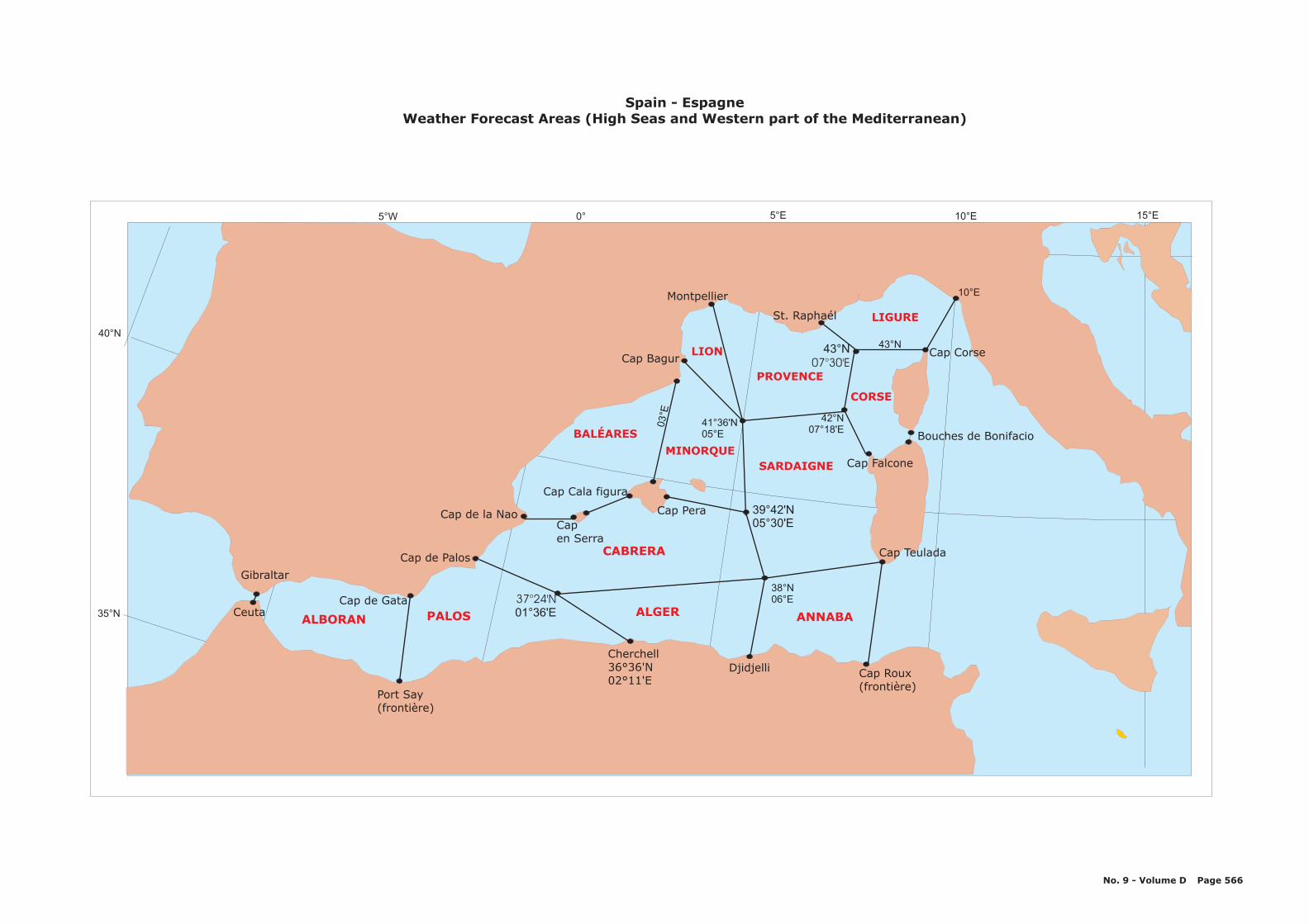
10°E5°E0°5°W
35°N
40°N
Gibraltar
CeutaCap de Gata
ALBORAN PALOS 01°36'E37°24'N
Cherchell36°36'N02°11'E
Cap de la NaoCapen Serra
Cap Cala figura
Cap Bagur
Cap Roux(frontière)
Cap Teulada
Cap Falcone
Cap Corse
ALGER
BALÉARES
St. Raphaél
ANNABA
CABRERA
LIGURE
CORSE
PROVENCE
LION
Montpellier 10°E
43°N43°N07°30'E
42°N07°18'E
39°42'N05°30'E
Cap Pera
MINORQUESARDAIGNE
38°N06°E
03°E
15°E
41°36'N05°E
Port Say(frontière)
Djidjelli
Cap de Palos
Bouches de Bonifacio
S - Epain spagneWeather Forecast Areas (High Seas and Western part of the Mediterranean)
No. 9 - Volume D Page 566
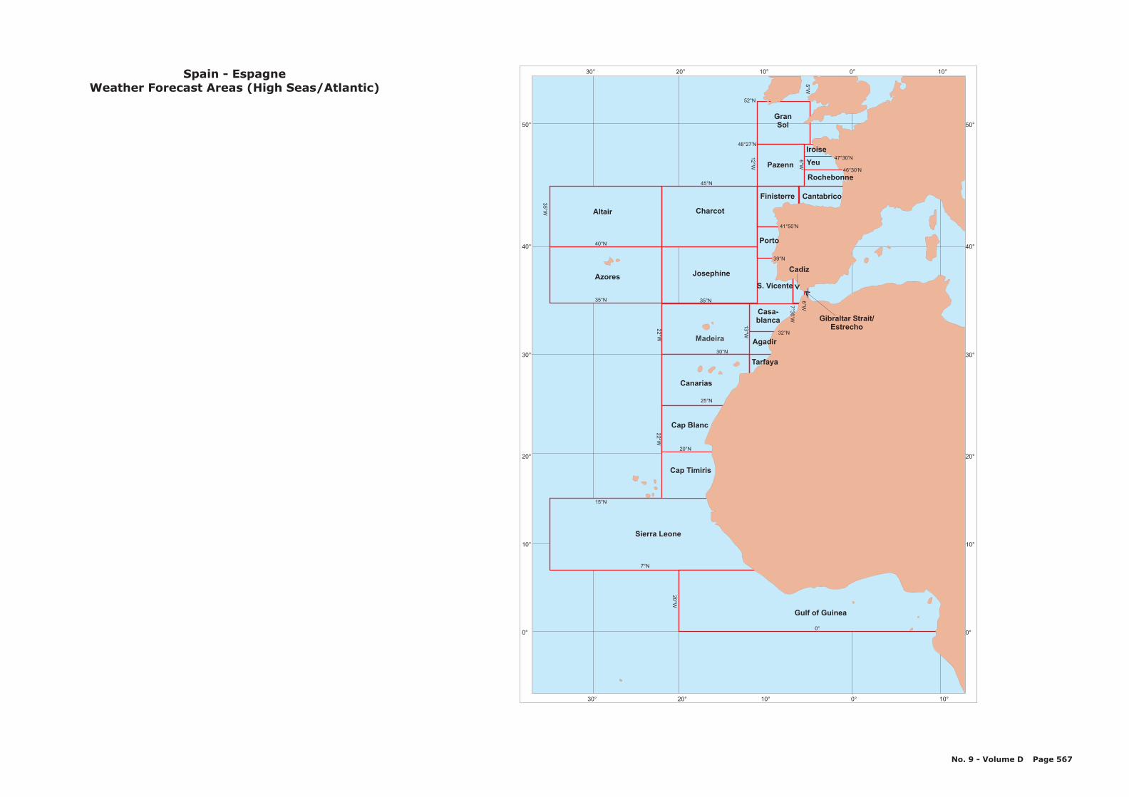
30° 20° 10° 0° 10°
30° 20° 10° 0° 10°
50°
40°
30°
20°
10°
0°
50°
40°
30°
20°
10°
0°
Canarias
Azores
Altair
Pazenn
GranSol
Charcot
S. Vicente
Madeira
Josephine
0°
7°N
25°N
20°N
30°N
22
°W2
2°W
20
°W
35
°W
12
°W
6°W
5°W
7°W
13
°W
15°N
35°N 35°N
40°N
45°N
48°27’N
52°N
Yeu
Rochebonne
CantabricoFinisterre
Porto
Cadiz
Gibraltar Strait/Estrecho
Iroise
41°50’N
39°N
7°3
0’W
6°W
Casa-blanca
Agadir
Tarfaya
46°30’N
32°N
47°30’N
S - Epain spagneWeather Forecast Areas (High Seas/Atlantic)
Cap Blanc
Gulf of Guinea
Sierra Leone
Cap Timiris
No. 9 - Volume D Page 567
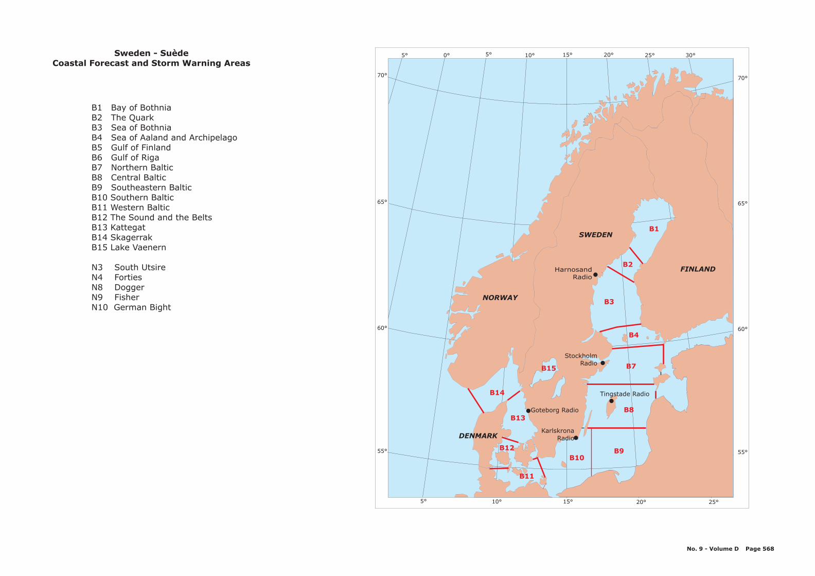
FINLAND
SWEDEN
NORWAY
DENMARK
StockholmRadio
Goteborg Radio
KarlskronaRadio
B15
60°
65°
55°
15°10°5° 20° 25°
B13
B12
B11
B9B10
B8
B7
B1
B2
B4
B14
HarnosandRadio
B3
15°10°5° 20° 25° 30°5° 0°
70°70°
65°
60°
55°
Tingstade Radio
Sweden - SuèdeCoastal Forecast and Storm Warning Areas
B1 Bay of BothniaB2 The QuarkB3 Sea of BothniaB4 Sea of Aaland and ArchipelagoB5 Gulf of FinlandB6 Gulf of RigaB7 Northern BalticB8 Central BalticB9 Southeastern BalticB10 Southern BalticB11 Western BalticB12 The Sound and the BeltsB13 KattegatB14 SkagerrakB15 Lake Vaenern
N3 South UtsireN4 FortiesN8 DoggerN9 FisherN10 German Bight
No. 9 - Volume D Page 568

95° 100° 105° 110°
95° 100° 105° 110°
1
2
3
45
5°5°
15°15°
10°10°
0°0°
T - Thailand ha landeï
Forecast areas
KEY:Division of forecasting areas:Area 1:Gulf of Thailand East coast to latitude 5°Nand longitude 107°E.Area 2Gulf of Thailand West coast to latitude 5°NArea 3:West coast of Southern Myanmar belowlatitude 14°N and West coast of SouthernThailand to latitude 5°N.Area 4:East coast of the Malay Peninsula fromlatitude 5°N to the Equator.Area 5:The Strait of Malacca.
No. 9 - Volume D Page 569
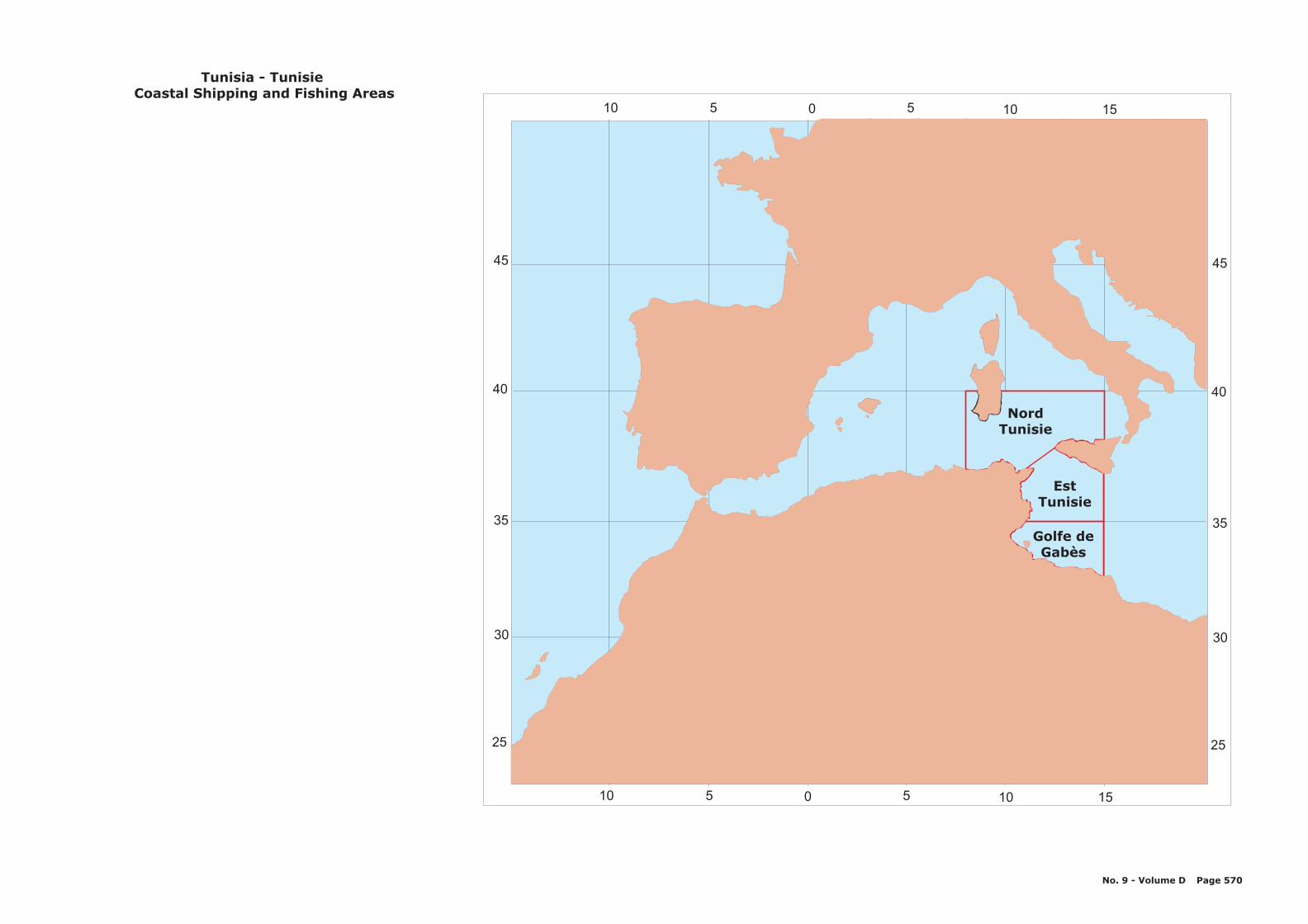
45
NordTunisie
EstTunisie
Golfe deGabès
8¡
151050510
151050510
35
30
25
40
45
35
30
25
40
T -unisia unisieTCoastal Shipping and Fishing Areas
No. 9 - Volume D Page 570
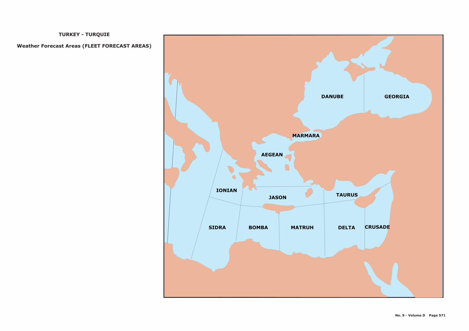
TURKEY - TURQUIE
Weather Forecast Areas (FLEET FORECAST AREAS)
SIDRA BOMBA MATRUH DELTA
IONIANJASON TAURUS
AEGEAN
DANUBE GEORGIA
15¡
MARMARA
CRUSADE
No. 9 - Volume D Page 571
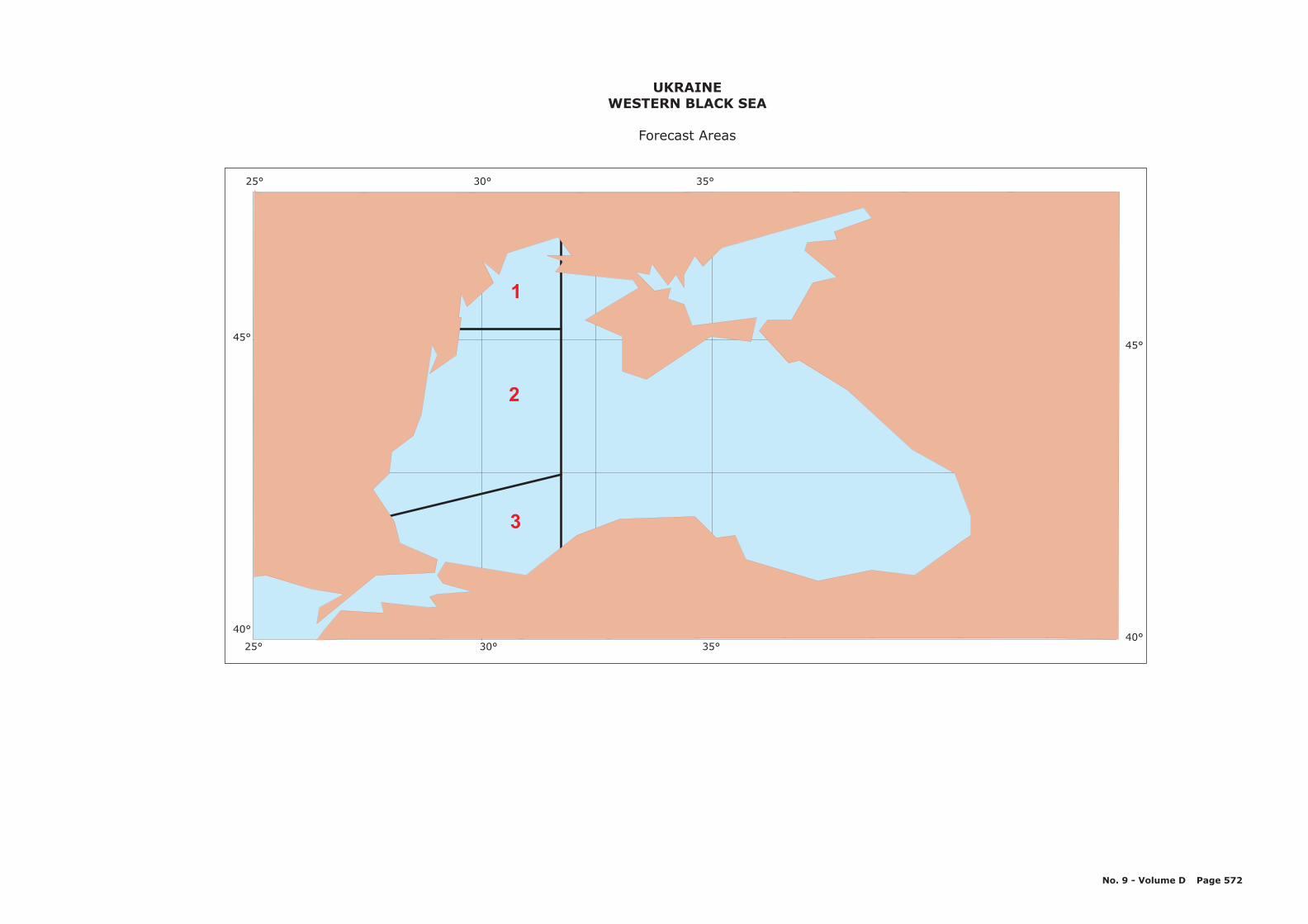
25° 30° 35°
45°
40°
3
1
2
25° 30° 35°
45°
40°
UKRAINEWESTERN BLACK SEA
Forecast Areas
No. 9 - Volume D Page 572
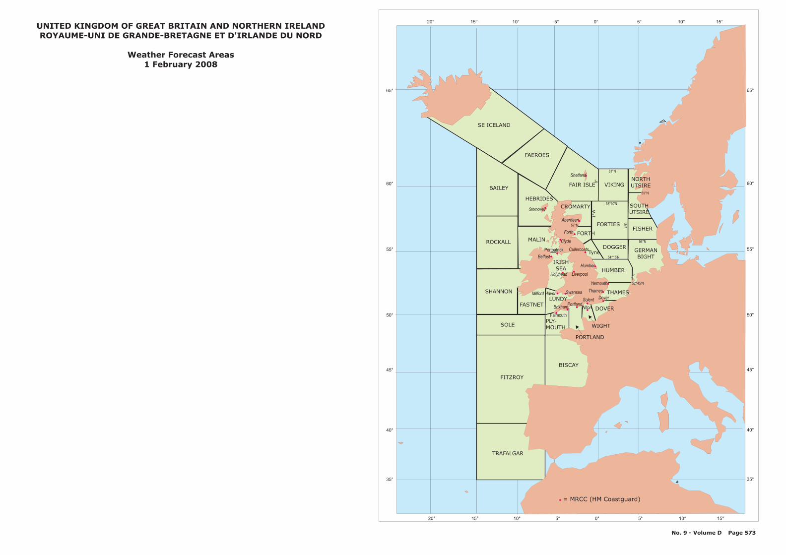
65°
60°
55°
50°
45°
40°
35°
52°45'N
58°30'N
59°N
57°N
56°N
61°N
54°15'N
4°E
1°W
0°
SE ICELAND
FAEROES
FAIR ISLE
FORTIESFISHER
NORTHUTSIRE
DOGGER
HUMBER
GERMANBIGHT
THAMES
DOVER
VIKING
CROMARTY
BAILEY
ROCKALL
SHANNON
SOLE
FITZROY
HEBRIDES
MALIN
FASTNETLUNDY
IRISHSEA
PLYMOUTH
-
PORTLAND
WIGHT
BISCAY
TRAFALGAR
FORTH
Tyne
Aberdeen
Stornoway
Clyde
Portpatrick Cullercoats
Humber
Yarmouth
Liverpool
Forth
Holyhead
SwanseaMilford Haven
Falmouth
BrixhamPortland
Solent
Niton
Dover
Thames
Belfast
SOUTHUTSIRE
= MRCC ( )HM Coastguard
20° 15° 10° 5° 0° 5° 10° 15°
20° 15° 10° 5° 0° 5° 10° 15°
Shetland
65°
60°
55°
50°
45°
40°
35°
No. 9 - Volume D Page 573
UNITED KINGDOM OF GREAT BRITAIN AND NORTHERN IRELANDROYAUME-UNI DE GRANDE-BRETAGNE ET D'IRLANDE DU NORD
Weather Forecast Areas1 February 2008
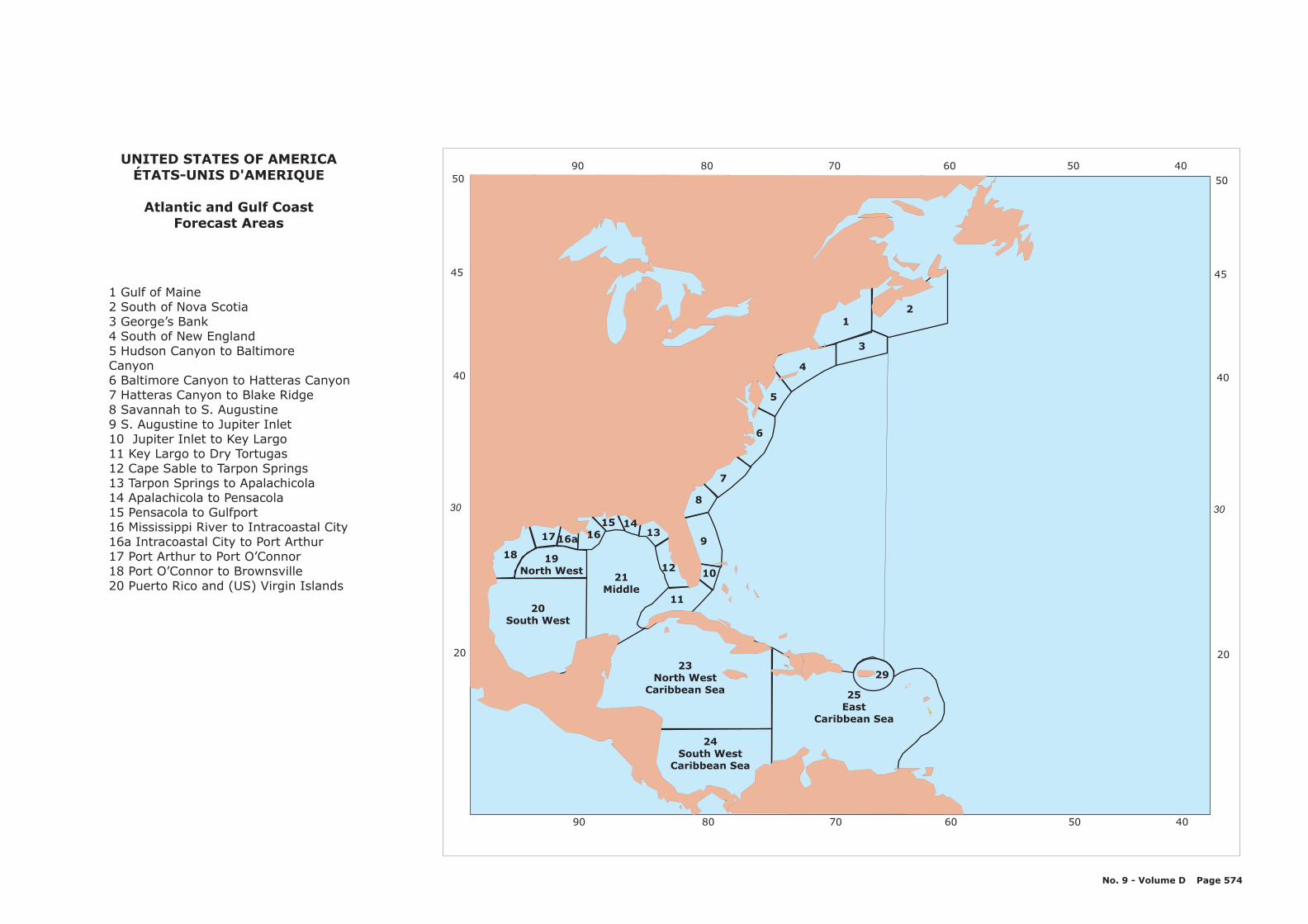
24South West
Caribbean Sea
23North West
Caribbean Sea
20South West
18
17 16a 1615 14
13
12
11
19North West
21Middle
10
9
8
7
6
5
4
1
3
2
29
25East
Caribbean Sea
608090 70 50 40
20
40
50
30
45
608090 70 50 40UNITED STATES OF AMERICA
ÉTATS-UNIS D'AMERIQUE
Atlantic and Gulf CoastForecast Areas
1 Gulf of Maine2 South of Nova Scotia3 George’s Bank4 South of New England5 Hudson Canyon to BaltimoreCanyon6 Baltimore Canyon to Hatteras Canyon7 Hatteras Canyon to Blake Ridge8 Savannah to S. Augustine9 S. Augustine to Jupiter Inlet10 Jupiter Inlet to Key Largo11 Key Largo to Dry Tortugas12 Cape Sable to Tarpon Springs13 Tarpon Springs to Apalachicola14 Apalachicola to Pensacola15 Pensacola to Gulfport16 Mississippi River to Intracoastal City16a Intracoastal City to Port Arthur17 Port Arthur to Port O’Connor18 Port O’Connor to Brownsville20 Puerto Rico and (US) Virgin Islands
No. 9 - Volume D Page 574
20
40
50
30
45

30
35
40
60 55 50 45
60 55 50 45
30
35
40
Costa de RioGrande de Sur (do Sul)
E
MarTerritorial Uruguayo
C
Costa dela Provincia
de Buenos Aires
D
41°S, 62°W
39°S, 53°W
35°S, 49°W
30°S, 46°W30°S, 50°W
35°30'S, 57°W
33°30'S, 53°W
URUGUAYWeather Forecast Areas
No. 9 - Volume D Page 575
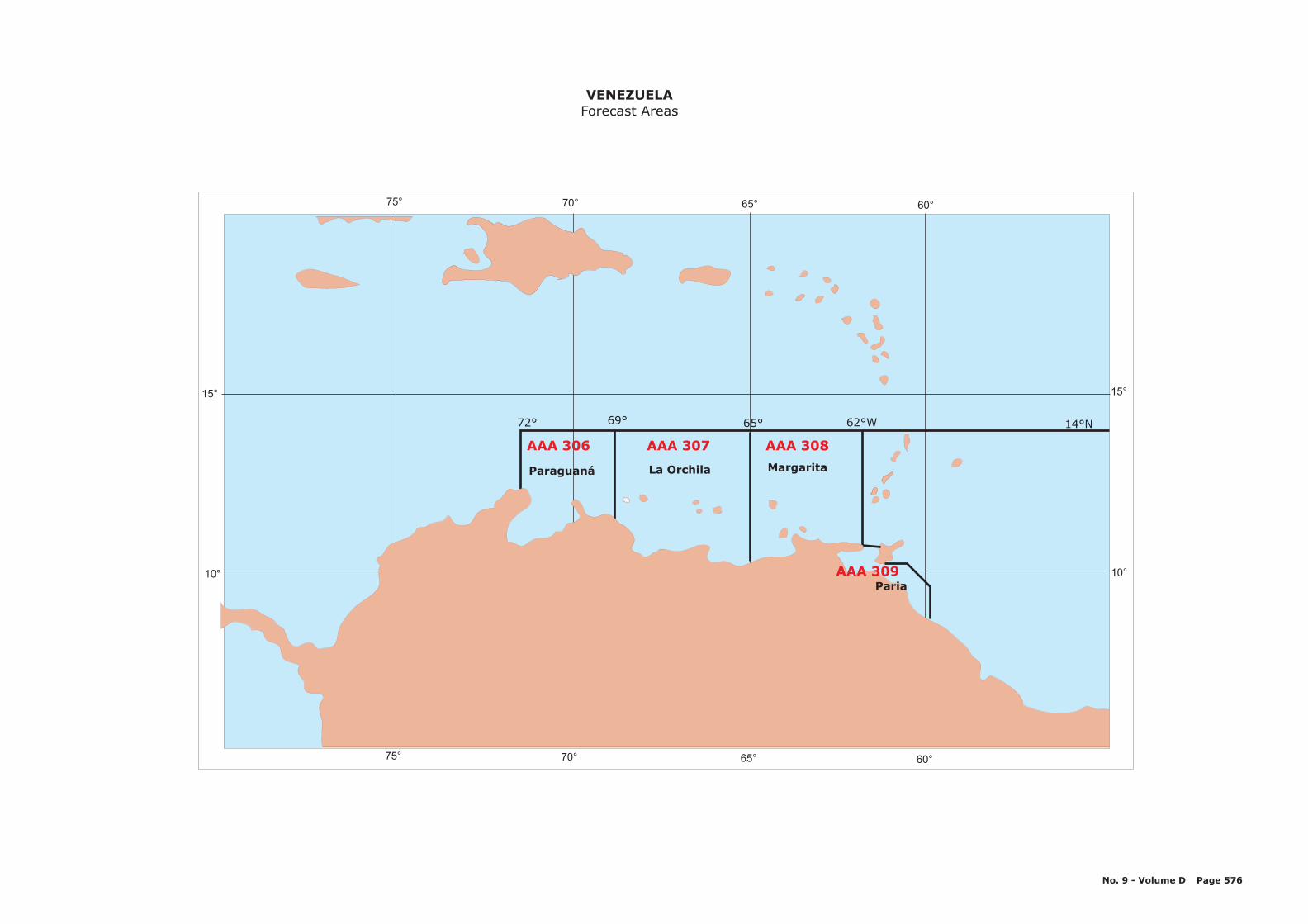
75° 70° 65° 60°
75° 70° 65° 60°
10°
15°
10°
15°
14°N72° 69° 65° 62°W
AAA 306
Paraguaná
AAA 307
La Orchila
AAA 308
Margarita
VENEZUELAForecast Areas
No. 9 - Volume D Page 576
PariaAAA 309
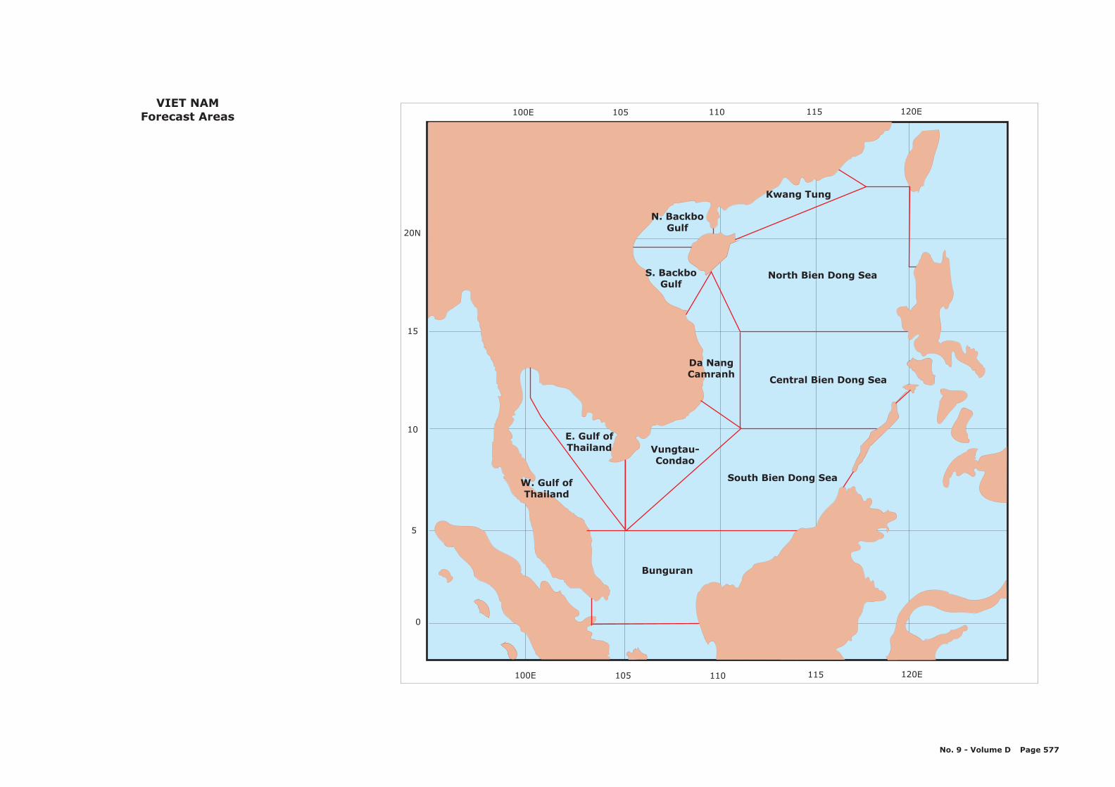
120E115110105100E
0
5
10
15
20N
105 110 115 120E100E
N. BackboGulf
S. BackboGulf
Kwang Tung
Da NangCamranh
Vungtau-Condao
E. Gulf ofThailand
W. Gulf ofThailand
North Bien Dong Sea
Central Bien Dong Sea
South Bien Dong Sea
Bunguran
VIET NAMForecast Areas
No. 9 - Volume D Page 577


CHAPTER 5
VISUAL STORM WARNING SIGNALS
SIGNAUX VISUELS D’AVIS DE TEMPÊTE

No. 9 - Volume D ¦ Page 1
Chapter 5 - VISUAL STORM WARNING SIGNALS
1. CONTENTS
As stipulated in the International Convention for the
Safety of Life at Sea (Chapter V, Regulation 4 (b) (i)),
Countries concerned should display at coastal points
appropriate visual storm warning signals when
applicable.
WMO Technical Regulationsspecifies that any Member
establishing a new visual storm warning signal system
should adopt the international system.
This part contains information on the systems of visual
storm warning signals adopted by the various maritime
countries. Where no such signals are used, a statement
to this effect is given. The contents of this part are
based on official notifications from the countries
concerned.
Annex I - International System of Visual Storm Warning
Signals
Annex II - National Systems of Visual Storm Warning
Signals (Day Signals)
Annex III - National Systems of Visual Storm Warning
Signals (NightSignals)
2. LAYOUT
Each country is arranged in alphabetical order according
to their English names.

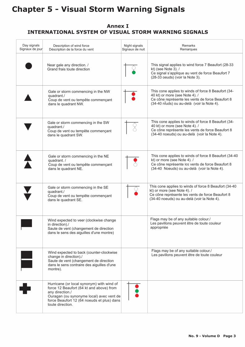
Near gale any direction. /Grand frais toute direction
This signal applies to wind force 7 Beaufort (28-33kt) (see Note 3). /Ce signal s’applique au vent de force Beaufort 7(28-33 oeuds) (voir la Note 3).
Gale or storm commencing in the NWquadrant./Coup de vent ou tempête commençantdans le quadrant NW.
This cone applies to winds of force 8 Beaufort (34-40 kt) or more (see Note 4). /
nÏuds) ou au-delà (voir la Note 4).Ce cône représente les vents de force Beaufort 8(34-40
Gale or storm commencing in the SWquadrant./Coup de vent ou tempête commençantdans le quadrant SW.
This cone applies to winds of force 8 Beaufort (34-40 kt) orCe cône représente les vents de force Beaufort 8(34-40 noeuds) ou au-delà (voir la Note 4).
more (see Note 4). /
Gale or storm commencing in the NEquadrant. /Coup de vent ou tempête commençantdans le quadrant NE.
This cone applies to winds of force 8 Beaufort (34-40kt) or more (see Note 4). /Ce cône représente vents de force Beaufort 8(34-40 Noeuds) ou au-delà (voir la Note 4).
les
Wind expected to veer (clockwise changein direction)./Saute de vent (changement de directiondans le sens des aiguilles d'une montre)
Flags may be of any suitable colour./Les pavillons peuvent être de toute couleurappropriée
Wind expected to back (counter-clockwisechange in direction)./Saute de vent (changement de directiondans le sens contraire des aiguilles d'unemontre).
Flags may be of any suitable colour./Les pavillons peuvent être de toute couleur
Day signalsSignaux de jour
Description of wind forceDéscription de la force du vent
Night signalsSignaux de nuit
RemarksRemarques
Gale or storm commencing in the SEquadrant./Coup de vent ou tempête commençantdans le quadrant SE.
This cone applies to winds of force 8 Beaufort (34-40kt) or more (see Note 4). /Ce cône représente les vents de force Beaufort 8(34-40 noeuds) ou au-delà (voir la Note 4).
Hurricane (or local synonym) with wind offorce 12 Beaufort (64 kt and above) fromany direction./Ouragan (ou synonyme local) avec vent deforce Beaufort 12 (64 noeuds et plus) danstoute direction.
Annex IINTERNATIONAL SYSTEM OF VISUAL STORM WARNING SIGNALS
Chapter 5 - Visual Storm Warning Signals
No. 9 - Volume D Page 3
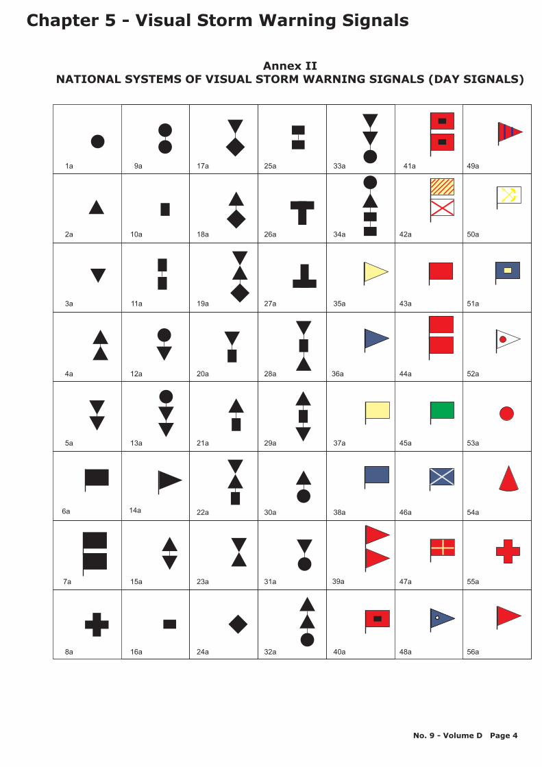
1a
2a
3a
4a
5a
6a
7a
8a
9a
10a
11a
12a
13a
14a
15a
16a
17a
18a
19a
20a
21a
22a
23a
24a
25a
26a
27a
28a
29a
30a
31a
32a
33a
34a
35a
36a
37a
38a
39a
40a
41a
43a
44a
45a
46a
47a
42a
48a
49a
51a
53a
54a
55a
56a
50a
52a
Chapter 5 - Visual Storm Warning Signals
Annex IINATIONAL SYSTEMS OF VISUAL STORM WARNING SIGNALS (DAY SIGNALS)
No. 9 - Volume D Page 4

10b
9b
8b
7b
6b
5b
4b
3b
2b
1b
20b
19b
18b
17b
16b
15b
14b
13b
12b
11b 29b
28b
27b
26b
25b
24b
23b
22b
21b 39b
38b
37b
36b
35b
34b
33b
32b
31b
30b
Chapter 5 - Visual Storm Warning Signals
Annex IIINATIONAL SYSTEMS OF VISUAL STORM WARNING SIGNALS (NIGHT SIGNALS)
No. 9 - Volume D Page 5

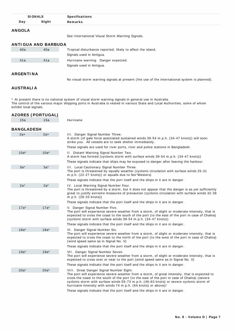
Day Night
Specifications
Remarks
SIGNALS
ANGOLASee International Visual Storm Warning Signals.
ANTIGUA AND BARBUDA40a 40a Tropical disturbance reported; likely to affect the island.
Signals used in Antigua.
41a 41a Hurricane warning. Danger expected.
Signals used in Antigua.
ARGENTINANo visual storm warning signals at present (the use of the international system is planned).
AUSTRALIA
* At present there is no national system of visual storm warning signals in general use in Australia. The control of the various major shipping ports in Australia is vested in various State and Local Authorities, some of whom exhibit local signals.
AZORES (PORTUGAL)15a 15a Hurricane
BANGLADESH2a+ 2a+ III. Danger Signal Number Three.
A storm (of gale force associated sustained winds 39-54 m.p.h. (34-47 knots)) will soon strike you. All vessels are to seek shelter immediately.
These signals are used for river ports, river and police stations in Bangladesh.
10a* 10a* II. Distant Warning Signal Number Two. A storm has formed (cyclonic storm with surface winds 39-54 m.p.h. (34-47 knots))
These signals indicate that ships may be exposed to danger after leaving the harbour.
3a* 3a* III. Local Cautionary Signal Number Three. The port is threatened by squally weather (cyclonic circulation with surface winds 25-31 m.p.h. (22-27 knots)) or squalls due to Nor'Westers)
These signals indicate that the port itself and the ships in it are in danger.
2a* 2a* IV. Local Warning Signal Number Four. The port is threatened by a storm, but it does not appear that the danger is as yet sufficiently great to justify extreme measures of precaution (cyclonic circulation with surface winds 32-38 m.p.h. (28-33 knots))
These signals indicate that the port itself and the ships in it are in danger.
17a* 17a* V. Danger Signal Number Five. The port will experience severe weather from a storm, of slight or moderate intensity, that is expected to cross the coast to the south of the port (to the east of the port in case of Chalna) (cyclonic storm with surface winds 39-54 m.p.h. (34-47 knots))
These signals indicate that the port itself and the ships in it are in danger.
18a* 18a* VI. Danger Signal Number Six. The port will experience severe weather from a storm, of slight or moderate intensity, that is expected to cross the coast to the north of the port (to the west of the port in case of Chalna) (wind speed same as in Signal No. V)
These signals indicate that the port itself and the ships in it are in danger.
19a* 19a* VII. Danger Signal Number Seven. The port will experience severe weather from a storm, of slight or moderate intensity, that is expected to cross over or near to the port (wind speed same as in Signal No. V)
These signals indicate that the port itself and the ships in it are in danger.
20a* 20a* VIII. Great Danger Signal Number Eight. The port will experience severe weather from a storm, of great intensity, that is expected to cross the coast to the south of the port (to the east of the port in case of Chalna) (severe cyclonic storm with surface winds 55-73 m.p.h. (46-63 knots) or severe cyclonic storm of hurricane intensity with winds 74 m.p.h. (64 knots) or above)/
These signals indicate that the port itself and the ships in it are in danger.
No. 9 - Volume D ¦ Page 7
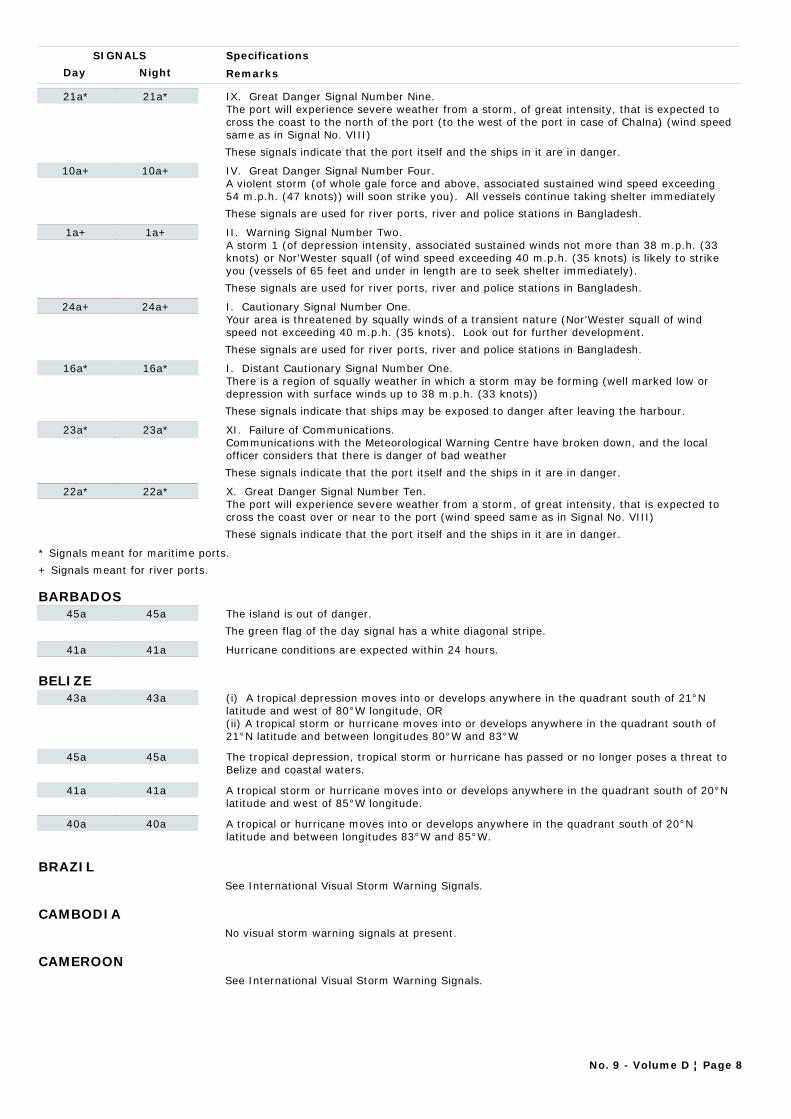
Day Night
Specifications
Remarks
SIGNALS
21a* 21a* IX. Great Danger Signal Number Nine. The port will experience severe weather from a storm, of great intensity, that is expected to cross the coast to the north of the port (to the west of the port in case of Chalna) (wind speed same as in Signal No. VIII)
These signals indicate that the port itself and the ships in it are in danger.
10a+ 10a+ IV. Great Danger Signal Number Four. A violent storm (of whole gale force and above, associated sustained wind speed exceeding 54 m.p.h. (47 knots)) will soon strike you). All vessels continue taking shelter immediately
These signals are used for river ports, river and police stations in Bangladesh.
1a+ 1a+ II. Warning Signal Number Two. A storm 1 (of depression intensity, associated sustained winds not more than 38 m.p.h. (33 knots) or Nor'Wester squall (of wind speed exceeding 40 m.p.h. (35 knots) is likely to strike you (vessels of 65 feet and under in length are to seek shelter immediately).
These signals are used for river ports, river and police stations in Bangladesh.
24a+ 24a+ I. Cautionary Signal Number One.Your area is threatened by squally winds of a transient nature (Nor'Wester squall of wind speed not exceeding 40 m.p.h. (35 knots). Look out for further development.
These signals are used for river ports, river and police stations in Bangladesh.
16a* 16a* I. Distant Cautionary Signal Number One. There is a region of squally weather in which a storm may be forming (well marked low or depression with surface winds up to 38 m.p.h. (33 knots))
These signals indicate that ships may be exposed to danger after leaving the harbour.
23a* 23a* XI. Failure of Communications. Communications with the Meteorological Warning Centre have broken down, and the local officer considers that there is danger of bad weather
These signals indicate that the port itself and the ships in it are in danger.
22a* 22a* X. Great Danger Signal Number Ten. The port will experience severe weather from a storm, of great intensity, that is expected to cross the coast over or near to the port (wind speed same as in Signal No. VIII)
These signals indicate that the port itself and the ships in it are in danger.
* Signals meant for maritime ports.
+ Signals meant for river ports.
BARBADOS45a 45a The island is out of danger.
The green flag of the day signal has a white diagonal stripe.
41a 41a Hurricane conditions are expected within 24 hours.
BELIZE43a 43a (i) A tropical depression moves into or develops anywhere in the quadrant south of 21°N
latitude and west of 80°W longitude, OR(ii) A tropical storm or hurricane moves into or develops anywhere in the quadrant south of 21°N latitude and between longitudes 80°W and 83°W
45a 45a The tropical depression, tropical storm or hurricane has passed or no longer poses a threat to Belize and coastal waters.
41a 41a A tropical storm or hurricane moves into or develops anywhere in the quadrant south of 20°N latitude and west of 85°W longitude.
40a 40a A tropical or hurricane moves into or develops anywhere in the quadrant south of 20°N latitude and between longitudes 83°W and 85°W.
BRAZILSee International Visual Storm Warning Signals.
CAMBODIANo visual storm warning signals at present.
CAMEROONSee International Visual Storm Warning Signals.
No. 9 - Volume D ¦ Page 8
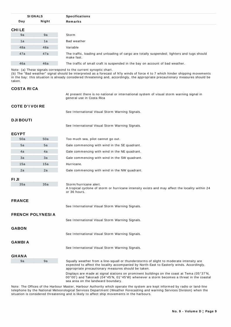
Day Night
Specifications
Remarks
SIGNALS
CHILE9a 9a Storm
1a 1a Bad weather
48a 48a Variable
47a 47a The traffic, loading and unloading of cargo are totally suspended; lighters and tugs should make fast.
46a 46a The traffic of small craft is suspended in the bay on account of bad weather.
Note: (a) These signals correspond to the current synoptic chart. (b) The "Bad weather" signal should be interpreted as a forecast of N'ly winds of force 4 to 7 which hinder shipping movements in the bay: this situation is already considered threatening and, accordingly, the appropriate precautionary measures should be taken.
COSTA RICAAt present there is no national or international system of visual storm warning signal in general use in Costa Rica
COTE D'IVOIRESee International Visual Storm Warning Signals.
DJIBOUTISee International Visual Storm Warning Signals.
EGYPT50a 50a Too much sea, pilot cannot go out.
5a 5a Gale commencing with wind in the SE quadrant.
4a 4a Gale commencing with wind in the NE quadrant.
3a 3a Gale commencing with wind in the SW quadrant.
15a 15a Hurricane.
2a 2a Gale commencing with wind in the NW quadrant.
FIJI35a 35a Storm/hurricane alert.
A tropical cyclone of storm or hurricane intensity exists and may affect the locality within 24 or 36 hours.
FRANCESee International Visual Storm Warning Signals.
FRENCH POLYNESIASee International Visual Storm Warning Signals.
GABONSee International Visual Storm Warning Signals.
GAMBIASee International Visual Storm Warning Signals.
GHANA9a 9a Squally weather from a line-squall or thunderstorms of slight to moderate intensity are
expected to affect the locality accompanied by North-East to Easterly winds. Accordingly, appropriate precautionary measures should be taken.
Displays are made at signal stations on prominent buildings on the coast at Tema (05°37'N, 00°00') and Takoradi (04°45'N, 01°45'W) whenever a storm becomes a threat in the coastal sea area on the landward boundary.
Note: The Offices of the Harbour Master, Harbour Authority which operate the system are kept informed by radio or land-line telephone by the National Meteorological Services Department (Weather Forecasting and warning Services Division) when the situation is considered threatening and is likely to affect ship movements in the harbours.
No. 9 - Volume D ¦ Page 9
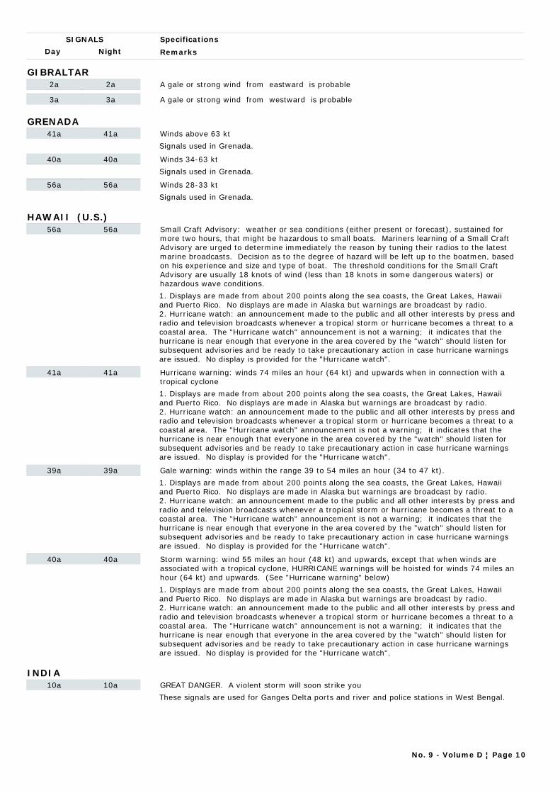
Day Night
Specifications
Remarks
SIGNALS
GIBRALTAR2a 2a A gale or strong wind from eastward is probable
3a 3a A gale or strong wind from westward is probable
GRENADA41a 41a Winds above 63 kt
Signals used in Grenada.
40a 40a Winds 34-63 kt
Signals used in Grenada.
56a 56a Winds 28-33 kt
Signals used in Grenada.
HAWAII (U.S.)56a 56a Small Craft Advisory: weather or sea conditions (either present or forecast), sustained for
more two hours, that might be hazardous to small boats. Mariners learning of a Small Craft Advisory are urged to determine immediately the reason by tuning their radios to the latest marine broadcasts. Decision as to the degree of hazard will be left up to the boatmen, based on his experience and size and type of boat. The threshold conditions for the Small Craft Advisory are usually 18 knots of wind (less than 18 knots in some dangerous waters) or hazardous wave conditions.
1. Displays are made from about 200 points along the sea coasts, the Great Lakes, Hawaii and Puerto Rico. No displays are made in Alaska but warnings are broadcast by radio.2. Hurricane watch: an announcement made to the public and all other interests by press and radio and television broadcasts whenever a tropical storm or hurricane becomes a threat to a coastal area. The "Hurricane watch" announcement is not a warning; it indicates that the hurricane is near enough that everyone in the area covered by the "watch" should listen for subsequent advisories and be ready to take precautionary action in case hurricane warnings are issued. No display is provided for the "Hurricane watch".
41a 41a Hurricane warning: winds 74 miles an hour (64 kt) and upwards when in connection with a tropical cyclone
1. Displays are made from about 200 points along the sea coasts, the Great Lakes, Hawaii and Puerto Rico. No displays are made in Alaska but warnings are broadcast by radio.2. Hurricane watch: an announcement made to the public and all other interests by press and radio and television broadcasts whenever a tropical storm or hurricane becomes a threat to a coastal area. The "Hurricane watch" announcement is not a warning; it indicates that the hurricane is near enough that everyone in the area covered by the "watch" should listen for subsequent advisories and be ready to take precautionary action in case hurricane warnings are issued. No display is provided for the "Hurricane watch".
39a 39a Gale warning: winds within the range 39 to 54 miles an hour (34 to 47 kt).
1. Displays are made from about 200 points along the sea coasts, the Great Lakes, Hawaii and Puerto Rico. No displays are made in Alaska but warnings are broadcast by radio.2. Hurricane watch: an announcement made to the public and all other interests by press and radio and television broadcasts whenever a tropical storm or hurricane becomes a threat to a coastal area. The "Hurricane watch" announcement is not a warning; it indicates that the hurricane is near enough that everyone in the area covered by the "watch" should listen for subsequent advisories and be ready to take precautionary action in case hurricane warnings are issued. No display is provided for the "Hurricane watch".
40a 40a Storm warning: wind 55 miles an hour (48 kt) and upwards, except that when winds are associated with a tropical cyclone, HURRICANE warnings will be hoisted for winds 74 miles an hour (64 kt) and upwards. (See "Hurricane warning" below)
1. Displays are made from about 200 points along the sea coasts, the Great Lakes, Hawaii and Puerto Rico. No displays are made in Alaska but warnings are broadcast by radio.2. Hurricane watch: an announcement made to the public and all other interests by press and radio and television broadcasts whenever a tropical storm or hurricane becomes a threat to a coastal area. The "Hurricane watch" announcement is not a warning; it indicates that the hurricane is near enough that everyone in the area covered by the "watch" should listen for subsequent advisories and be ready to take precautionary action in case hurricane warnings are issued. No display is provided for the "Hurricane watch".
INDIA10a 10a GREAT DANGER. A violent storm will soon strike you
These signals are used for Ganges Delta ports and river and police stations in West Bengal.
No. 9 - Volume D ¦ Page 10

Day Night
Specifications
Remarks
SIGNALS
21a 21a Port will experience severe weather from a severe cyclone expected to move keeping the port to the right of its track.
This signal indicates that the port itself and the ships in it are in danger.
22a* 22a* Port will experience severe weather from a severe cyclone expected to move over or close to the port.
This signal is also hoisted when a storm is expected to skirt the coast without (actually) crossing it.
16a 16a There is a region of squally weather in which a storm may be forming.
These signals indicate that ships may be exposed to danger after leaving the harbour.
23a* 23a* Communications with the Meteorological Warning Centre have broken down, and the local officer considers there is a danger of bad weather
These signals are used for Ganges Delta ports and river and police stations in West Bengal.
2a 2a DANGER. A storm will soon strike you
These signals are used for Ganges Delta ports and river and police stations in West Bengal.
10a 10a A storm has formed
These signals indicate that ships may be exposed to danger after leaving the harbour.
20a 20a Port will experience severe weather from a severe cyclone expected to move keeping the port to the left of its track.
This signal indicates that the port itself and the ships in it are in danger.
19a* 19a* Port will experience severe weather from a cyclone expected to move over or close to the port.
This signal is also hoisted when a storm is expected to skirt the coast without (actually) crossing it.
18a 18a Port will experience severe weather from a cyclone expected to move keeping the port to the right of its track.
These signals indicate that the port itself and the ships in it are in danger.
17a 17a Port will experience severe weather from a cyclone expected to move keeping the port to the left of its track.
These signals indicate that the port itself and the ships in it are in danger.
2a* 2a* Port is threatened by a storm, but it does not appear that danger justifies extreme measures of precaution.
Squally weather is meant to cover occasional or frequent squalls with rain or persistent type of strong gusty wind (mean wind speed not less than 20 knots) accompanied by rain. Such conditions are associated with low pressure systems or onset and strengthening of monsoon. Mean wind speeds exceeding 33 knots associated with cyclonic storms are generally covered by signals higher than 3a.
3a* 3a* Port is threatened by squally weather.
Squally weather is meant to cover occasional or frequent squalls with rain or persistent type of strong gusty wind (mean wind speed not less than 20 knots) accompanied by rain. Such conditions are associated with low pressure systems or onset and strengthening of monsoon. Mean wind speeds exceeding 33 knots associated with cyclonic storms are generally covered by signals higher than 3a.
1a 1a WARNING. A storm may affect you shortly
These signals are used for Ganges Delta ports and river and police stations in West Bengal.
No. 9 - Volume D ¦ Page 11
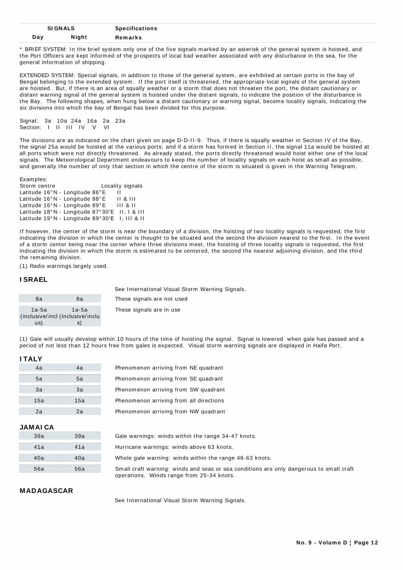
Day Night
Specifications
Remarks
SIGNALS
* BRIEF SYSTEM: In the brief system only one of the five signals marked by an asterisk of the general system is hoisted, and the Port Officers are kept informed of the prospects of local bad weather associated with any disturbance in the sea, for the general information of shipping.
EXTENDED SYSTEM: Special signals, in addition to those of the general system, are exhibited at certain ports in the bay of Bengal belonging to the extended system. If the port itself is threatened, the appropriate local signals of the general system are hoisted. But, if there is an area of squally weather or a storm that does not threaten the port, the distant cautionary or distant warning signal of the general system is hoisted under the distant signals, to indicate the position of the disturbance in the Bay. The following shapes, when hung below a distant cautionary or warning signal, become locality signals, indicating the six divisions into which the bay of Bengal has been divided for this purpose.
Signal: 3a 10a 24a 16a 2a 23aSection: I II III IV V VI
The divisions are as indicated on the chart given on page D-D-II-9. Thus, if there is squally weather in Section IV of the Bay, the signal 25a would be hoisted at the various ports; and if a storm has formed in Section II, the signal 11a would be hoisted at all ports which were not directly threatened. As already stated, the ports directly threatened would hoist either one of the local signals. The Meteorological Department endeavours to keep the number of locality signals on each hoist as small as possible, and generally the number of only that section in which the centre of the storm is situated is given in the Warning Telegram.
Examples:Storm centre Locality signalsLatitude 16°N - Longitude 86°E IILatitude 16°N - Longitude 88°E II & IIILatitude 16°N - Longitude 89°E III & IILatitude 18°N - Longitude 87°30'E II, I & IIILatitude 19°N - Longitude 89°30'E I, III & II
If however, the center of the storm is near the boundary of a division, the hoisting of two locality signals is requested, the first indicating the division in which the center is thought to be situated and the second the division nearest to the first. In the event of a storm center being near the corner where three divisions meet, the hoisting of three locality signals is requested, the first indicating the division in which the storm is estimated to be centered, the second the nearest adjoining division, and the third the remaining division.
(1) Radio warnings largely used.
ISRAELSee International Visual Storm Warning Signals.
8a 8a These signals are not used
1a-5a(inclusive/incl
us)
1a-5a(inclusive/inclu
s)
These signals are in use
(1) Gale will usually develop within 10 hours of the time of hoisting the signal. Signal is lowered when gale has passed and a period of not less than 12 hours free from gales is expected. Visual storm warning signals are displayed in Haifa Port.
ITALY4a 4a Phenomenon arriving from NE quadrant
5a 5a Phenomenon arriving from SE quadrant
3a 3a Phenomenon arriving from SW quadrant
15a 15a Phenomenon arriving from all directions
2a 2a Phenomenon arriving from NW quadrant
JAMAICA39a 39a Gale warnings: winds within the range 34-47 knots.
41a 41a Hurricane warnings: winds above 63 knots.
40a 40a Whole gale warning: winds within the range 48-63 knots.
56a 56a Small craft warning: winds and seas or sea conditions are only dangerous to small craft operations. Winds range from 25-34 knots.
MADAGASCARSee International Visual Storm Warning Signals.
No. 9 - Volume D ¦ Page 12
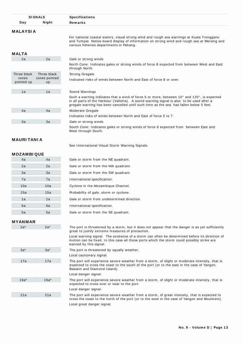
Day Night
Specifications
Remarks
SIGNALS
MALAYSIAFor national coastal waters, visual strong wind and rough sea warnings at Kuala Trengganu and Tumpat. Notice board display of information on strong wind and rough sea at Mersing and various fisheries departments in Pahang.
MALTA2a 2a Gale or strong winds
North Cone: Indicates gales or strong winds of force 8 expected from between West and East through North.
Three black cones
pointed up
Three black cones pointed
up
Strong Gregale
Indicated risks of winds between North and East of force 8 or over.
1a 1a Scend Warnings
Such a warning indicates that a wind of force 5 or more, between 10° and 120°, is expected in all parts of the Harbour (Valletta). A scend warning signal is also to be used after a gregale warning has been cancelled until such time as the sea has fallen below 5 feet.
4a 4a Moderate Gregale
Indicates risks of winds between North and East of force 5 to 7.
3a 3a Gale or strong winds
South Cone: Indicates gales or strong winds of force 8 expected from between East and West through South.
MAURITANIASee International Visual Storm Warning Signals.
MOZAMBIQUE4a 4a Gale or storm from the NE quadrant.
2a 2a Gale or storm from the NW quadrant.
3a 3a Gale or storm from the SW quadrant.
7a 7a International specification.
10a 10a Cyclone in the Mozambique Channel.
15a 15a Probability of gale, storm or cyclone.
1a 1a Gale or storm from undetermined direction.
6a 6a International specification.
5a 5a Gale or storm from the SE quadrant.
MYANMAR2a* 2a* The port is threatened by a storm, but it does not appear that the danger is as yet sufficiently
great to justify extreme measures of precaution.
Local warning signal. The existence of a storm can often be determined before its direction of motion can be fixed. In this case all those ports which the storm could possibly strike are warned by this signal.
3a* 3a* The port is threatened by squally weather.
Local cautionary signal.
17a 17a The port will experience severe weather from a storm, of slight or moderate intensity, that is expected to cross the coast to the south of the port (or to the east in the case of Yangon, Bassein and Diamond Island).
Local danger signal.
19a* 19a* The port will experience severe weather from a storm, of slight or moderate intensity, that is expected to cross over or near to the port.
Local danger signal.
21a 21a The port will experience severe weather from a storm, of great intensity, that is expected to cross the coast to the north of the port (or to the west in the case of Yangon and Moulmein).
Local great danger signal.
No. 9 - Volume D ¦ Page 13
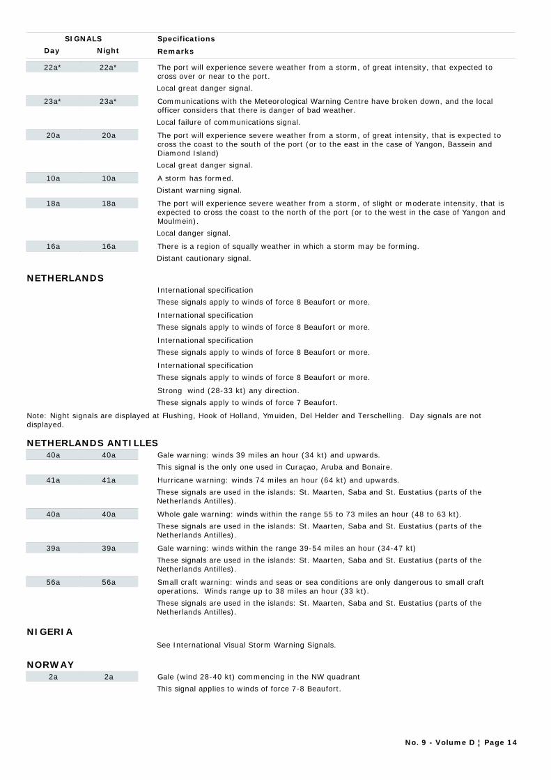
Day Night
Specifications
Remarks
SIGNALS
22a* 22a* The port will experience severe weather from a storm, of great intensity, that expected to cross over or near to the port.
Local great danger signal.
23a* 23a* Communications with the Meteorological Warning Centre have broken down, and the local officer considers that there is danger of bad weather.
Local failure of communications signal.
20a 20a The port will experience severe weather from a storm, of great intensity, that is expected to cross the coast to the south of the port (or to the east in the case of Yangon, Bassein and Diamond Island)
Local great danger signal.
10a 10a A storm has formed.
Distant warning signal.
18a 18a The port will experience severe weather from a storm, of slight or moderate intensity, that is expected to cross the coast to the north of the port (or to the west in the case of Yangon and Moulmein).
Local danger signal.
16a 16a There is a region of squally weather in which a storm may be forming.
Distant cautionary signal.
NETHERLANDSInternational specification
These signals apply to winds of force 8 Beaufort or more.
International specification
These signals apply to winds of force 8 Beaufort or more.
International specification
These signals apply to winds of force 8 Beaufort or more.
International specification
These signals apply to winds of force 8 Beaufort or more.
Strong wind (28-33 kt) any direction.
These signals apply to winds of force 7 Beaufort.
Note: Night signals are displayed at Flushing, Hook of Holland, Ymuiden, Del Helder and Terschelling. Day signals are not displayed.
NETHERLANDS ANTILLES40a 40a Gale warning: winds 39 miles an hour (34 kt) and upwards.
This signal is the only one used in Curaçao, Aruba and Bonaire.
41a 41a Hurricane warning: winds 74 miles an hour (64 kt) and upwards.
These signals are used in the islands: St. Maarten, Saba and St. Eustatius (parts of the Netherlands Antilles).
40a 40a Whole gale warning: winds within the range 55 to 73 miles an hour (48 to 63 kt).
These signals are used in the islands: St. Maarten, Saba and St. Eustatius (parts of the Netherlands Antilles).
39a 39a Gale warning: winds within the range 39-54 miles an hour (34-47 kt)
These signals are used in the islands: St. Maarten, Saba and St. Eustatius (parts of the Netherlands Antilles).
56a 56a Small craft warning: winds and seas or sea conditions are only dangerous to small craft operations. Winds range up to 38 miles an hour (33 kt).
These signals are used in the islands: St. Maarten, Saba and St. Eustatius (parts of the Netherlands Antilles).
NIGERIASee International Visual Storm Warning Signals.
NORWAY2a 2a Gale (wind 28-40 kt) commencing in the NW quadrant
This signal applies to winds of force 7-8 Beaufort.
No. 9 - Volume D ¦ Page 14
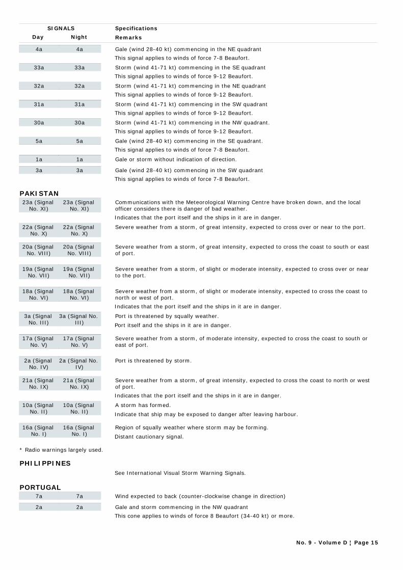
Day Night
Specifications
Remarks
SIGNALS
4a 4a Gale (wind 28-40 kt) commencing in the NE quadrant
This signal applies to winds of force 7-8 Beaufort.
33a 33a Storm (wind 41-71 kt) commencing in the SE quadrant
This signal applies to winds of force 9-12 Beaufort.
32a 32a Storm (wind 41-71 kt) commencing in the NE quadrant
This signal applies to winds of force 9-12 Beaufort.
31a 31a Storm (wind 41-71 kt) commencing in the SW quadrant
This signal applies to winds of force 9-12 Beaufort.
30a 30a Storm (wind 41-71 kt) commencing in the NW quadrant.
This signal applies to winds of force 9-12 Beaufort.
5a 5a Gale (wind 28-40 kt) commencing in the SE quadrant.
This signal applies to winds of force 7-8 Beaufort.
1a 1a Gale or storm without indication of direction.
3a 3a Gale (wind 28-40 kt) commencing in the SW quadrant
This signal applies to winds of force 7-8 Beaufort.
PAKISTAN23a (Signal
No. XI)23a (Signal
No. XI)Communications with the Meteorological Warning Centre have broken down, and the local officer considers there is danger of bad weather.
Indicates that the port itself and the ships in it are in danger.
22a (Signal No. X)
22a (Signal No. X)
Severe weather from a storm, of great intensity, expected to cross over or near to the port.
20a (Signal No. VIII)
20a (Signal No. VIII)
Severe weather from a storm, of great intensity, expected to cross the coast to south or east of port.
19a (Signal No. VII)
19a (Signal No. VII)
Severe weather from a storm, of slight or moderate intensity, expected to cross over or near to the port.
18a (Signal No. VI)
18a (Signal No. VI)
Severe weather from a storm, of slight or moderate intensity, expected to cross the coast to north or west of port.
Indicates that the port itself and the ships in it are in danger.
3a (Signal No. III)
3a (Signal No. III)
Port is threatened by squally weather.
Port itself and the ships in it are in danger.
17a (Signal No. V)
17a (Signal No. V)
Severe weather from a storm, of moderate intensity, expected to cross the coast to south or east of port.
2a (Signal No. IV)
2a (Signal No. IV)
Port is threatened by storm.
21a (Signal No. IX)
21a (Signal No. IX)
Severe weather from a storm, of great intensity, expected to cross the coast to north or west of port.
Indicates that the port itself and the ships in it are in danger.
10a (Signal No. II)
10a (Signal No. II)
A storm has formed.
Indicate that ship may be exposed to danger after leaving harbour.
16a (Signal No. I)
16a (Signal No. I)
Region of squally weather where storm may be forming.
Distant cautionary signal.
* Radio warnings largely used.
PHILIPPINESSee International Visual Storm Warning Signals.
PORTUGAL7a 7a Wind expected to back (counter-clockwise change in direction)
2a 2a Gale and storm commencing in the NW quadrant
This cone applies to winds of force 8 Beaufort (34-40 kt) or more.
No. 9 - Volume D ¦ Page 15

Day Night
Specifications
Remarks
SIGNALS
3a 3a Gale and storm commencing in the SW quadrant
This cone applies to winds of force 8 Beaufort (34-40 kt) or more.
4a 4a Gale and storm commencing in the NE quadrant
This cone applies to winds of force 8 Beaufort (34-40 kt) or more.
5a 5a Gale and storm commencing in the SE quadrant
This cone applies to winds of force 8 Beaufort (34-40 kt) or more.
6a 6a Wind expected to veer (clockwise change in direction)
10a 10a Special signal used on the southern coast of Portugal to the Levant in the Strait of Gibraltar
Wind Waves from Southeast 2 metres or more.
1a 1a Near gale any direction.
This signal applies to wind force 7 Beaufort (28-33 kt).
8a 8a Hurricane with wind of force 12 Beaufort (64 kt and above) from any direction
PUERTO RICO56a 56a Small Craft Advisory: weather or sea conditions (either present or forecast), sustained for
more two hours, that might be hazardous to small boats. Mariners learning of a Small Craft Advisory are urged to determine immediately the reason by tuning their radios to the latest marine broadcasts. Decision as to the degree of hazard will be left up to the boatmen, based on his experience and size and type of boat. The threshold conditions for the Small Craft Advisory are usually 18 knots of wind (less than 18 knots in some dangerous waters) or hazardous wave conditions.
1. Displays are made from about 200 points along the sea coasts, the Great Lakes, Hawaii and Puerto Rico. No displays are made in Alaska but warnings are broadcast by radio.2. Hurricane watch: an announcement made to the public and all other interests by press and radio and television broadcasts whenever a tropical storm or hurricane becomes a threat to a coastal area. The "Hurricane watch" announcement is not a warning; it indicates that the hurricane is near enough that everyone in the area covered by the "watch" should listen for subsequent advisories and be ready to take precautionary action in case hurricane warnings are issued. No display is provided for the "Hurricane watch".
41a 41a Hurricane warning: winds 74 miles an hour (64 kt) and upwards when in connection with a tropical cyclone.
1. Displays are made from about 200 points along the sea coasts, the Great Lakes, Hawaii and Puerto Rico. No displays are made in Alaska but warnings are broadcast by radio.2. Hurricane watch: an announcement made to the public and all other interests by press and radio and television broadcasts whenever a tropical storm or hurricane becomes a threat to a coastal area. The "Hurricane watch" announcement is not a warning; it indicates that the hurricane is near enough that everyone in the area covered by the "watch" should listen for subsequent advisories and be ready to take precautionary action in case hurricane warnings are issued. No display is provided for the "Hurricane watch".
39a 39a Gale warning: winds within the range 39 to 54 miles an hour (34 to 47 kt).
1. Displays are made from about 200 points along the sea coasts, the Great Lakes, Hawaii and Puerto Rico. No displays are made in Alaska but warnings are broadcast by radio.2. Hurricane watch: an announcement made to the public and all other interests by press and radio and television broadcasts whenever a tropical storm or hurricane becomes a threat to a coastal area. The "Hurricane watch" announcement is not a warning; it indicates that the hurricane is near enough that everyone in the area covered by the "watch" should listen for subsequent advisories and be ready to take precautionary action in case hurricane warnings are issued. No display is provided for the "Hurricane watch".
40a 40a Storm warning: wind 55 miles an hour (48 kt) and upwards, except that when winds are associated with a tropical cyclone, HURRICANE warnings will be hoisted for winds 74 miles an hour (64 kt) and upwards. (See "Hurricane warning" below).
1. Displays are made from about 200 points along the sea coasts, the Great Lakes, Hawaii and Puerto Rico. No displays are made in Alaska but warnings are broadcast by radio.2. Hurricane watch: an announcement made to the public and all other interests by press and radio and television broadcasts whenever a tropical storm or hurricane becomes a threat to a coastal area. The "Hurricane watch" announcement is not a warning; it indicates that the hurricane is near enough that everyone in the area covered by the "watch" should listen for subsequent advisories and be ready to take precautionary action in case hurricane warnings are issued. No display is provided for the "Hurricane watch".
REPUBLIC OF KOREANo visual storm warning signals at present. Radio warnings largely used.
No. 9 - Volume D ¦ Page 16
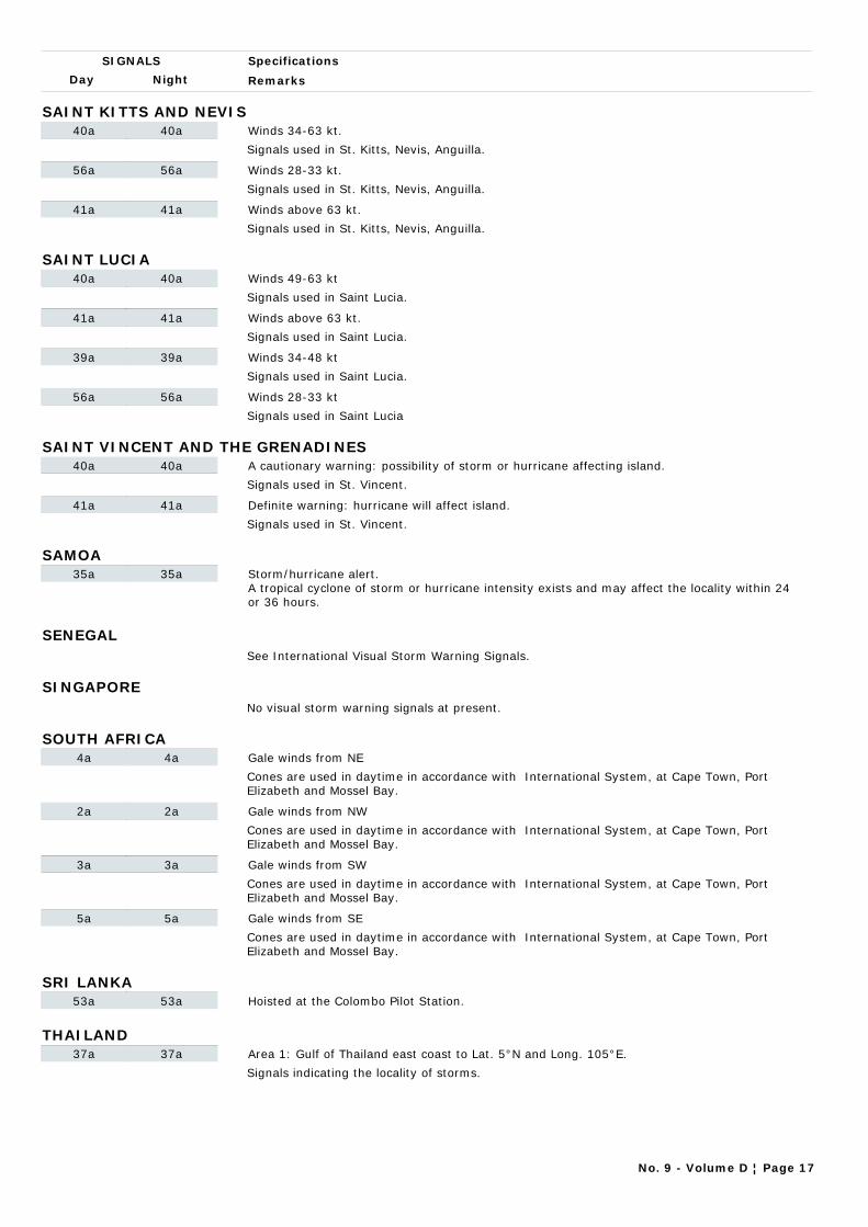
Day Night
Specifications
Remarks
SIGNALS
SAINT KITTS AND NEVIS40a 40a Winds 34-63 kt.
Signals used in St. Kitts, Nevis, Anguilla.
56a 56a Winds 28-33 kt.
Signals used in St. Kitts, Nevis, Anguilla.
41a 41a Winds above 63 kt.
Signals used in St. Kitts, Nevis, Anguilla.
SAINT LUCIA40a 40a Winds 49-63 kt
Signals used in Saint Lucia.
41a 41a Winds above 63 kt.
Signals used in Saint Lucia.
39a 39a Winds 34-48 kt
Signals used in Saint Lucia.
56a 56a Winds 28-33 kt
Signals used in Saint Lucia
SAINT VINCENT AND THE GRENADINES40a 40a A cautionary warning: possibility of storm or hurricane affecting island.
Signals used in St. Vincent.
41a 41a Definite warning: hurricane will affect island.
Signals used in St. Vincent.
SAMOA35a 35a Storm/hurricane alert.
A tropical cyclone of storm or hurricane intensity exists and may affect the locality within 24 or 36 hours.
SENEGALSee International Visual Storm Warning Signals.
SINGAPORENo visual storm warning signals at present.
SOUTH AFRICA4a 4a Gale winds from NE
Cones are used in daytime in accordance with International System, at Cape Town, Port Elizabeth and Mossel Bay.
2a 2a Gale winds from NW
Cones are used in daytime in accordance with International System, at Cape Town, Port Elizabeth and Mossel Bay.
3a 3a Gale winds from SW
Cones are used in daytime in accordance with International System, at Cape Town, Port Elizabeth and Mossel Bay.
5a 5a Gale winds from SE
Cones are used in daytime in accordance with International System, at Cape Town, Port Elizabeth and Mossel Bay.
SRI LANKA53a 53a Hoisted at the Colombo Pilot Station.
THAILAND37a 37a Area 1: Gulf of Thailand east coast to Lat. 5°N and Long. 105°E.
Signals indicating the locality of storms.
No. 9 - Volume D ¦ Page 17
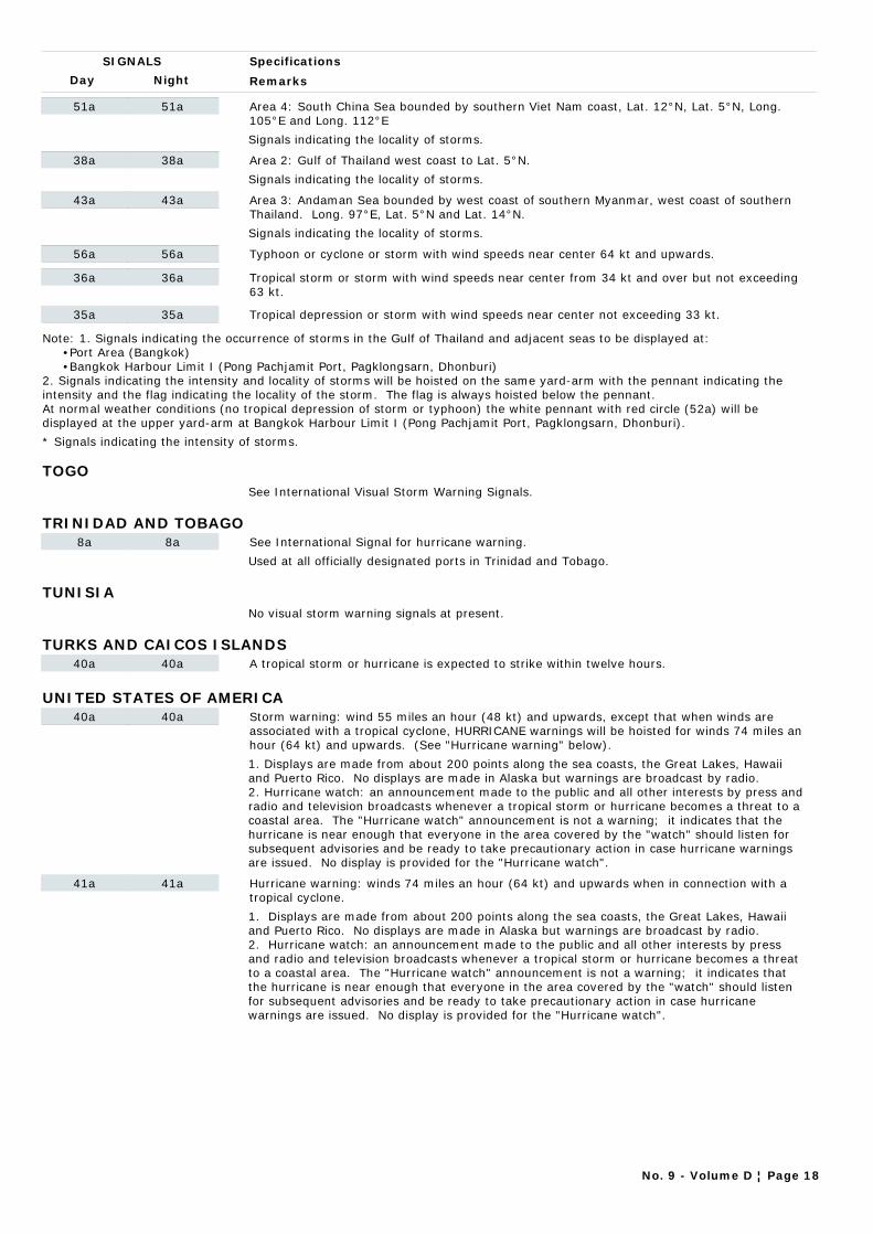
Day Night
Specifications
Remarks
SIGNALS
51a 51a Area 4: South China Sea bounded by southern Viet Nam coast, Lat. 12°N, Lat. 5°N, Long. 105°E and Long. 112°E
Signals indicating the locality of storms.
38a 38a Area 2: Gulf of Thailand west coast to Lat. 5°N.
Signals indicating the locality of storms.
43a 43a Area 3: Andaman Sea bounded by west coast of southern Myanmar, west coast of southern Thailand. Long. 97°E, Lat. 5°N and Lat. 14°N.
Signals indicating the locality of storms.
56a 56a Typhoon or cyclone or storm with wind speeds near center 64 kt and upwards.
36a 36a Tropical storm or storm with wind speeds near center from 34 kt and over but not exceeding 63 kt.
35a 35a Tropical depression or storm with wind speeds near center not exceeding 33 kt.
Note: 1. Signals indicating the occurrence of storms in the Gulf of Thailand and adjacent seas to be displayed at: •Port Area (Bangkok) •Bangkok Harbour Limit I (Pong Pachjamit Port, Pagklongsarn, Dhonburi)2. Signals indicating the intensity and locality of storms will be hoisted on the same yard-arm with the pennant indicating the intensity and the flag indicating the locality of the storm. The flag is always hoisted below the pennant.At normal weather conditions (no tropical depression of storm or typhoon) the white pennant with red circle (52a) will be displayed at the upper yard-arm at Bangkok Harbour Limit I (Pong Pachjamit Port, Pagklongsarn, Dhonburi).
* Signals indicating the intensity of storms.
TOGOSee International Visual Storm Warning Signals.
TRINIDAD AND TOBAGO8a 8a See International Signal for hurricane warning.
Used at all officially designated ports in Trinidad and Tobago.
TUNISIANo visual storm warning signals at present.
TURKS AND CAICOS ISLANDS40a 40a A tropical storm or hurricane is expected to strike within twelve hours.
UNITED STATES OF AMERICA40a 40a Storm warning: wind 55 miles an hour (48 kt) and upwards, except that when winds are
associated with a tropical cyclone, HURRICANE warnings will be hoisted for winds 74 miles an hour (64 kt) and upwards. (See "Hurricane warning" below).
1. Displays are made from about 200 points along the sea coasts, the Great Lakes, Hawaii and Puerto Rico. No displays are made in Alaska but warnings are broadcast by radio.2. Hurricane watch: an announcement made to the public and all other interests by press and radio and television broadcasts whenever a tropical storm or hurricane becomes a threat to a coastal area. The "Hurricane watch" announcement is not a warning; it indicates that the hurricane is near enough that everyone in the area covered by the "watch" should listen for subsequent advisories and be ready to take precautionary action in case hurricane warnings are issued. No display is provided for the "Hurricane watch".
41a 41a Hurricane warning: winds 74 miles an hour (64 kt) and upwards when in connection with a tropical cyclone.
1. Displays are made from about 200 points along the sea coasts, the Great Lakes, Hawaii and Puerto Rico. No displays are made in Alaska but warnings are broadcast by radio.2. Hurricane watch: an announcement made to the public and all other interests by press and radio and television broadcasts whenever a tropical storm or hurricane becomes a threat to a coastal area. The "Hurricane watch" announcement is not a warning; it indicates that the hurricane is near enough that everyone in the area covered by the "watch" should listen for subsequent advisories and be ready to take precautionary action in case hurricane warnings are issued. No display is provided for the "Hurricane watch".
No. 9 - Volume D ¦ Page 18
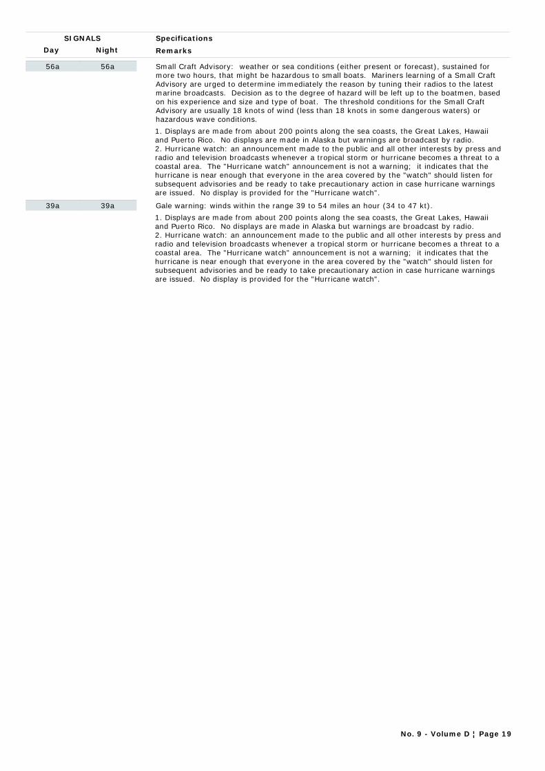
Day Night
Specifications
Remarks
SIGNALS
56a 56a Small Craft Advisory: weather or sea conditions (either present or forecast), sustained for more two hours, that might be hazardous to small boats. Mariners learning of a Small Craft Advisory are urged to determine immediately the reason by tuning their radios to the latest marine broadcasts. Decision as to the degree of hazard will be left up to the boatmen, based on his experience and size and type of boat. The threshold conditions for the Small Craft Advisory are usually 18 knots of wind (less than 18 knots in some dangerous waters) or hazardous wave conditions.
1. Displays are made from about 200 points along the sea coasts, the Great Lakes, Hawaii and Puerto Rico. No displays are made in Alaska but warnings are broadcast by radio.2. Hurricane watch: an announcement made to the public and all other interests by press and radio and television broadcasts whenever a tropical storm or hurricane becomes a threat to a coastal area. The "Hurricane watch" announcement is not a warning; it indicates that the hurricane is near enough that everyone in the area covered by the "watch" should listen for subsequent advisories and be ready to take precautionary action in case hurricane warnings are issued. No display is provided for the "Hurricane watch".
39a 39a Gale warning: winds within the range 39 to 54 miles an hour (34 to 47 kt).
1. Displays are made from about 200 points along the sea coasts, the Great Lakes, Hawaii and Puerto Rico. No displays are made in Alaska but warnings are broadcast by radio.2. Hurricane watch: an announcement made to the public and all other interests by press and radio and television broadcasts whenever a tropical storm or hurricane becomes a threat to a coastal area. The "Hurricane watch" announcement is not a warning; it indicates that the hurricane is near enough that everyone in the area covered by the "watch" should listen for subsequent advisories and be ready to take precautionary action in case hurricane warnings are issued. No display is provided for the "Hurricane watch".
No. 9 - Volume D ¦ Page 19

CHAPTER 6
FOCAL POINT CONTACT INFORMATION:
WMO GMDSS MARINE BROADCAST SYSTEM SHIP WEATHER ROUTEING SERVICES
PORT METEOROLOGICAL OFFICES

FOCAL POINT CONTACT INFORMATION:
WMO GMDSS MARINE BROADCAST SYSTEM

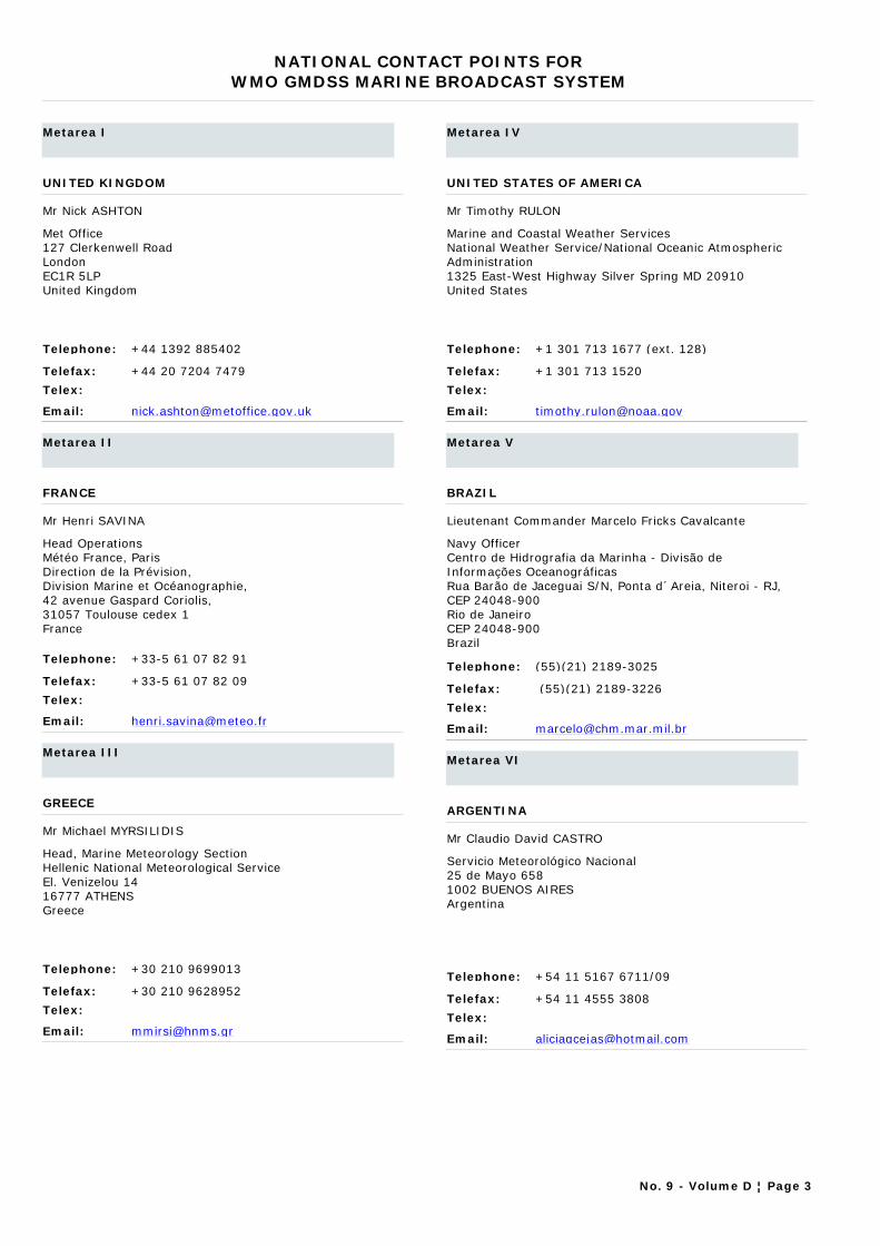
NATIONAL CONTACT POINTS FORWMO GMDSS MARINE BROADCAST SYSTEM
Metarea I
UNITED KINGDOM
Mr Nick ASHTON
Telephone: +44 1392 885402
Telefax: +44 20 7204 7479
Telex:
Email: [email protected]
Met Office127 Clerkenwell RoadLondonEC1R 5LPUnited Kingdom
Metarea II
FRANCE
Mr Henri SAVINA
Telephone: +33-5 61 07 82 91
Telefax: +33-5 61 07 82 09
Telex:
Email: [email protected]
Head OperationsMétéo France, ParisDirection de la Prévision,Division Marine et Océanographie,42 avenue Gaspard Coriolis,31057 Toulouse cedex 1France
Metarea III
GREECE
Mr Michael MYRSILIDIS
Telephone: +30 210 9699013
Telefax: +30 210 9628952
Telex:
Email: [email protected]
Head, Marine Meteorology SectionHellenic National Meteorological ServiceEl. Venizelou 1416777 ATHENSGreece
Metarea IV
UNITED STATES OF AMERICA
Mr Timothy RULON
Telephone: +1 301 713 1677 (ext. 128)
Telefax: +1 301 713 1520
Telex:
Email: [email protected]
Marine and Coastal Weather ServicesNational Weather Service/National Oceanic Atmospheric Administration1325 East-West Highway Silver Spring MD 20910United States
Metarea V
BRAZIL
Lieutenant Commander Marcelo Fricks Cavalcante
Telephone: (55)(21) 2189-3025
Telefax: (55)(21) 2189-3226
Telex:
Email: [email protected]
Navy OfficerCentro de Hidrografia da Marinha - Divisão de Informações OceanográficasRua Barão de Jaceguai S/N, Ponta d´Areia, Niteroi - RJ, CEP 24048-900Rio de JaneiroCEP 24048-900Brazil
Metarea VI
ARGENTINA
Mr Claudio David CASTRO
Telephone: +54 11 5167 6711/09
Telefax: +54 11 4555 3808
Telex:
Email: [email protected]
Servicio Meteorológico Nacional25 de Mayo 6581002 BUENOS AIRESArgentina
No. 9 - Volume D ¦ Page 3
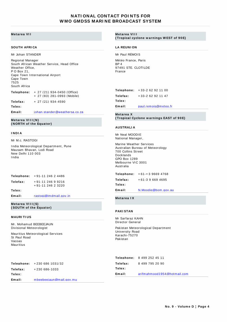
NATIONAL CONTACT POINTS FORWMO GMDSS MARINE BROADCAST SYSTEM
Metarea VII
SOUTH AFRICA
Mr Johan STANDER
Telephone: + 27 (21) 934-0450 (Office)
Telefax: + 27 (21) 934-4590
Telex:
Email: [email protected]
Regional ManagerSouth African Weather Service, Head OfficeWeather Office, P O Box 21, Cape Town International AirportCape Town7525South Africa
+ 27 (83) 281-0993 (Mobile)
Metarea VIII(N)(NORTH of the Equator)
INDIA
Mr M.c. RASTOGI
Telephone: +91-11 246 2 4486
Telefax: +91-11 246 9 9216
Telex:
Email: [email protected]
India Meteorological Department, PuneMausam Bhavan, Lodi RoadNew Delhi 110 003India
+91-11 246 2 3220
Metarea VIII(S)(SOUTH of the Equator)
MAURITIUS
Mr. Mohamud BEEBEEJAUNDivisional Meteorologist
Telephone: +230 686 1031/32
Telefax: +230 686-1033
Telex:
Email: [email protected]
Mauritius Meteorological Services St Paul RoadVacoasMauritius
Metarea VIII (Tropical cyclone warnings WEST of 90E)
LA REUNION
Mr Paul RÉMOIS
Telephone: +33-2 62 92 11 00
Telefax: +33-2 62 92 11 47
Telex:
Email: [email protected]
Météo France, ParisBP 497491 STE. CLOTILDEFrance
Metarea X (Tropical Cyclone warnings EAST of 90E)
AUSTRALIA
Mr Neal MOODIE National Manager,
Telephone: +61-+3 9669 4768
Telefax: +61-3 9 669 4695
Telex:
Email: [email protected]
Marine Weather ServicesAustralian Bureau of Meteorology700 Collins StreetDocklandsGPO Box 1289Melbourne VIC 3001Australia
Metarea IX
PAKISTAN
Mr Sarfaraz KAHN Director General
Telephone: 8 499 252 45 11
Telefax: 8 499 795 20 90
Telex:
Email: [email protected]
Pakistan Meteorological DepartmentUniversity RoadKarachi-75270Pakistan
No. 9 - Volume D ¦ Page 4
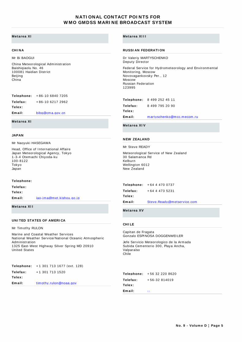
NATIONAL CONTACT POINTS FORWMO GMDSS MARINE BROADCAST SYSTEM
Metarea XI
CHINA
Mr Bi BAOGUI
Telephone: +86-10 6840 7205
Telefax: +86-10 6217 2962
Telex:
Email: [email protected]
China Meteorological AdministrationBaishiqiaolu No. 46100081 Haidian District BeijingChina
Metarea XI
JAPAN
Mr Naoyuki HASEGAWA
Telephone:
Telefax:
Telex:
Email: [email protected]
Head, Office of International AffaireJapan Meteorological Agency, Tokyo1-3-4 Otemachi Chiyoda-ku100-8122TokyoJapan
Metarea XII
UNITED STATES OF AMERICA
Mr Timothy RULON
Telephone: +1 301 713 1677 (ext. 128)
Telefax: +1 301 713 1520
Telex:
Email: [email protected]
Marine and Coastal Weather ServicesNational Weather Service/National Oceanic Atmospheric Administration1325 East-West Highway Silver Spring MD 20910United States
Metarea XIII
RUSSIAN FEDERATION
Dr Valeriy MARTYSCHENKO Deputy Director
Telephone: 8 499 252 45 11
Telefax: 8 499 795 20 90
Telex:
Email: [email protected]
Federal Service for Hydrometeorology and Environmental Monitoring, MoscowNovovagankovsky Per., 12MoscowRussian Federation123995
Metarea XIV
NEW ZEALAND
Mr Steve READY
Telephone: +64 4 470 0737
Telefax: +64 4 473 5231
Telex:
Email: [email protected]
Meteorological Service of New Zealand30 Salamanca RdKelburnWellington 6012New Zealand
Metarea XV
CHILE
Capitan de FragataGonzalo ESPINOSA DOGGENWEILER
Telephone: +56 32 220 8620
Telefax: +56-32 814019
Telex:
Email: --
Jefe Servicio Meteorologico de la ArmadaSubida Cementerio 300, Playa Ancha,ValparaísoChile
No. 9 - Volume D ¦ Page 5
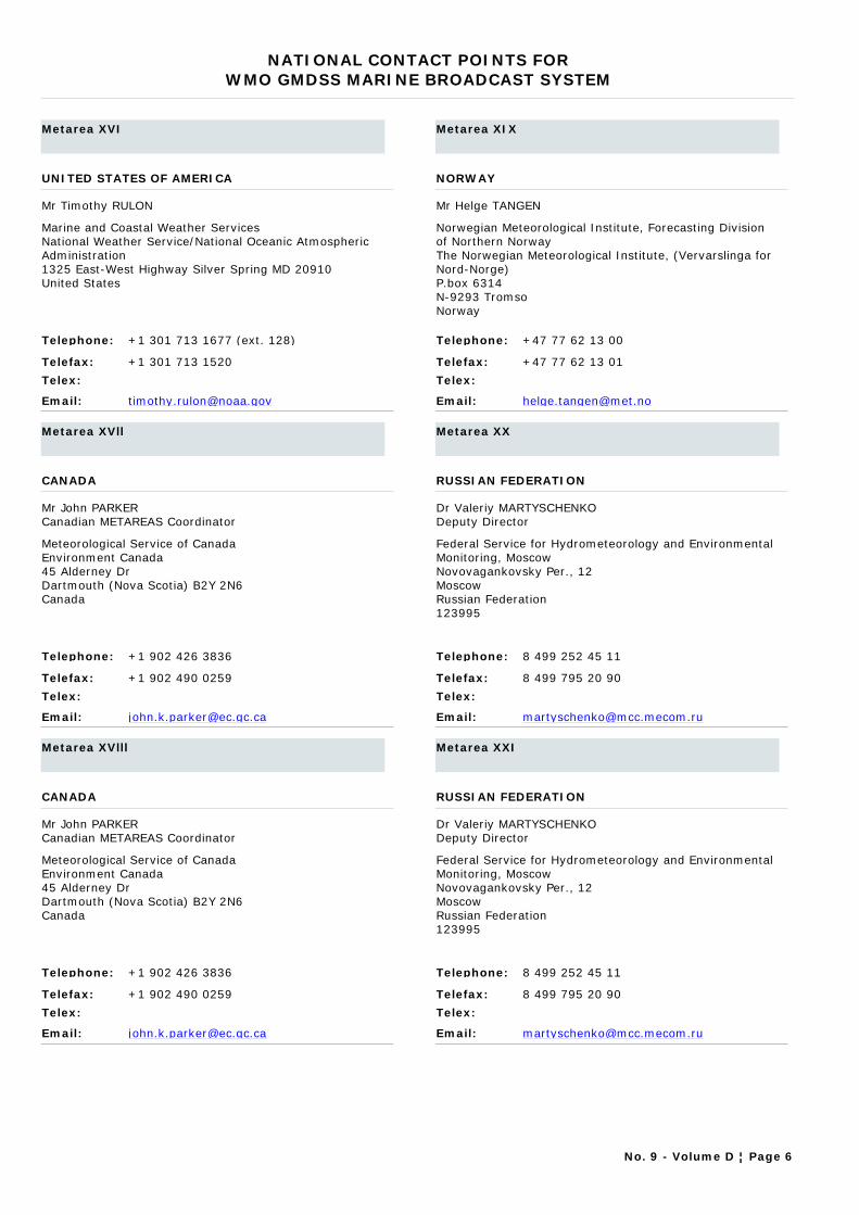
NATIONAL CONTACT POINTS FORWMO GMDSS MARINE BROADCAST SYSTEM
Metarea XVI
UNITED STATES OF AMERICA
Mr Timothy RULON
Telephone: +1 301 713 1677 (ext. 128)
Telefax: +1 301 713 1520
Telex:
Email: [email protected]
Marine and Coastal Weather ServicesNational Weather Service/National Oceanic Atmospheric Administration1325 East-West Highway Silver Spring MD 20910United States
Metarea XVll
CANADA
Mr John PARKER Canadian METAREAS Coordinator
Telephone: +1 902 426 3836
Telefax: +1 902 490 0259
Telex:
Email: [email protected]
Meteorological Service of CanadaEnvironment Canada45 Alderney DrDartmouth (Nova Scotia) B2Y 2N6Canada
Metarea XVlll
CANADA
Mr John PARKER Canadian METAREAS Coordinator
Telephone: +1 902 426 3836
Telefax: +1 902 490 0259
Telex:
Email: [email protected]
Meteorological Service of CanadaEnvironment Canada45 Alderney DrDartmouth (Nova Scotia) B2Y 2N6Canada
Metarea XIX
NORWAY
Mr Helge TANGEN
Telephone: +47 77 62 13 00
Telefax: +47 77 62 13 01
Telex:
Email: [email protected]
Norwegian Meteorological Institute, Forecasting Division of Northern NorwayThe Norwegian Meteorological Institute, (Vervarslinga for Nord-Norge)P.box 6314N-9293 TromsoNorway
Metarea XX
RUSSIAN FEDERATION
Dr Valeriy MARTYSCHENKO Deputy Director
Telephone: 8 499 252 45 11
Telefax: 8 499 795 20 90
Telex:
Email: [email protected]
Federal Service for Hydrometeorology and Environmental Monitoring, MoscowNovovagankovsky Per., 12MoscowRussian Federation123995
Metarea XXI
RUSSIAN FEDERATION
Dr Valeriy MARTYSCHENKO Deputy Director
Telephone: 8 499 252 45 11
Telefax: 8 499 795 20 90
Telex:
Email: [email protected]
Federal Service for Hydrometeorology and Environmental Monitoring, MoscowNovovagankovsky Per., 12MoscowRussian Federation123995
No. 9 - Volume D ¦ Page 6
FOCAL POINT CONTACT INFORMATION:
SHIP WEATHER ROUTEING SERVICES and
PORT METEOROLOGICAL OFFICES


CONTACT INFORMATION FORPORT METEOROLOGICAL OFFICES AND SHIP WEATHER ROUTEING SERVICES
ARGENTINA Date: 10/11/2011
Port Meteorological Offices
Buenos Aires
Mr Ricardo PEDRAZA (PMO, Buenos Aires) 25 de Mayo 658C1002 ABN Buenos AiresArgentina
Telephone: +54-11-4514-1525Telefax: +54-11-4514-1525Telex:Email: [email protected]
No. 9 - Volume D ¦ Page 7
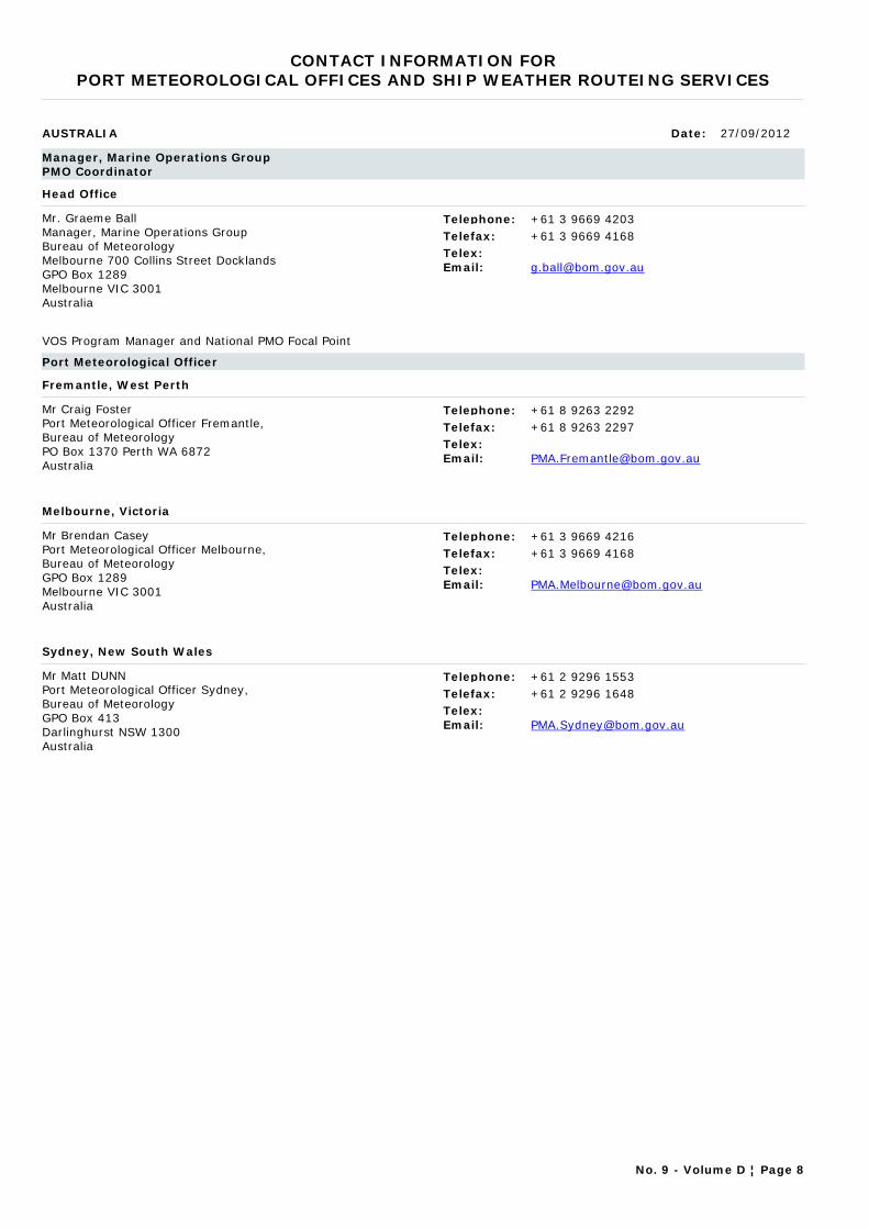
CONTACT INFORMATION FORPORT METEOROLOGICAL OFFICES AND SHIP WEATHER ROUTEING SERVICES
AUSTRALIA Date: 27/09/2012
Manager, Marine Operations GroupPMO Coordinator
Head Office
Mr. Graeme BallManager, Marine Operations GroupBureau of MeteorologyMelbourne 700 Collins Street Docklands GPO Box 1289 Melbourne VIC 3001 Australia
Telephone: +61 3 9669 4203Telefax: +61 3 9669 4168Telex:Email: [email protected]
VOS Program Manager and National PMO Focal Point
Port Meteorological Officer
Fremantle, West Perth
Mr Craig FosterPort Meteorological Officer Fremantle, Bureau of Meteorology PO Box 1370 Perth WA 6872 Australia
Telephone: +61 8 9263 2292Telefax: +61 8 9263 2297Telex:Email: [email protected]
Melbourne, Victoria
Mr Brendan CaseyPort Meteorological Officer Melbourne, Bureau of Meteorology GPO Box 1289 Melbourne VIC 3001 Australia
Telephone: +61 3 9669 4216Telefax: +61 3 9669 4168Telex:Email: [email protected]
Sydney, New South Wales
Mr Matt DUNNPort Meteorological Officer Sydney,Bureau of Meteorology GPO Box 413 Darlinghurst NSW 1300 Australia
Telephone: +61 2 9296 1553Telefax: +61 2 9296 1648Telex:Email: [email protected]
No. 9 - Volume D ¦ Page 8

CONTACT INFORMATION FORPORT METEOROLOGICAL OFFICES AND SHIP WEATHER ROUTEING SERVICES
BRAZIL Date: 10/11/2011
Port Meteorological Offices
Brazil ports
Ms Emma GIADA MATSCHINSKE (PMO, Brazil ports) Lieutenant CommanderBrazilian Navy Hydrographic Center, Directorate of Hydrography and Navigation Rua Barão do Jaceguai StreetPonta da Aramação, Niterói,CEP 24.048-9001RJBrazil
Telephone: +55 (21) 2189-3027Telefax: +55 (21) 2620-8861Telex:Email: [email protected]
No. 9 - Volume D ¦ Page 9
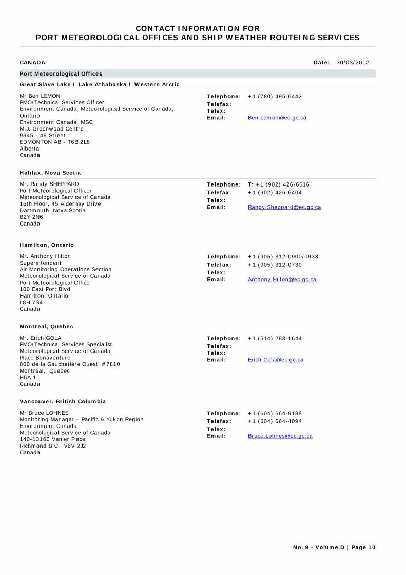
CONTACT INFORMATION FORPORT METEOROLOGICAL OFFICES AND SHIP WEATHER ROUTEING SERVICES
CANADA Date: 30/03/2012
Port Meteorological Offices
Great Slave Lake / Lake Athabaska / Western Arctic
Mr Ben LEMONPMO/Technical Services OfficerEnvironment Canada, Meteorological Service of Canada, Ontario Environment Canada, MSCM.J. Greenwood Centre9345 - 49 StreetEDMONTON AB - T6B 2L8AlbertaCanada
Telephone: +1 (780) 495-6442Telefax:Telex:Email: [email protected]
Halifax, Nova Scotia
Mr. Randy SHEPPARDPort Meteorological OfficerMeteorological Service of Canada16th Floor, 45 Aldernay DriveDartmouth, Nova ScotiaB2Y 2N6Canada
Telephone: T: +1 (902) 426-6616Telefax: +1 (902) 426-6404Telex:Email: [email protected]
Hamilton, Ontario
Mr. Anthony HiltonSuperintendent Air Monitoring Operations Section Meteorological Service of CanadaPort Meteorological Office100 East Port BlvdHamilton, OntarioL8H 7S4Canada
Telephone: +1 (905) 312-0900/0933Telefax: +1 (905) 312-0730Telex:Email: [email protected]
Montreal, Quebec
Mr. Erich GOLAPMO/Technical Services SpecialistMeteorological Service of CanadaPlace Bonaventure800 de la Gauchetière Ouest, #7810Montréal, QuebecH5A 1LCanada
Telephone: +1 (514) 283-1644Telefax:Telex:Email: [email protected]
Vancouver, British Columbia
Mr Bruce LOHNESMonitoring Manager – Pacific & Yukon Region Environment CanadaMeteorological Service of Canada140-13160 Vanier PlaceRichmond B.C. V6V 2J2Canada
Telephone: +1 (604) 664-9188Telefax: +1 (604) 664-4094Telex:Email: [email protected]
No. 9 - Volume D ¦ Page 10
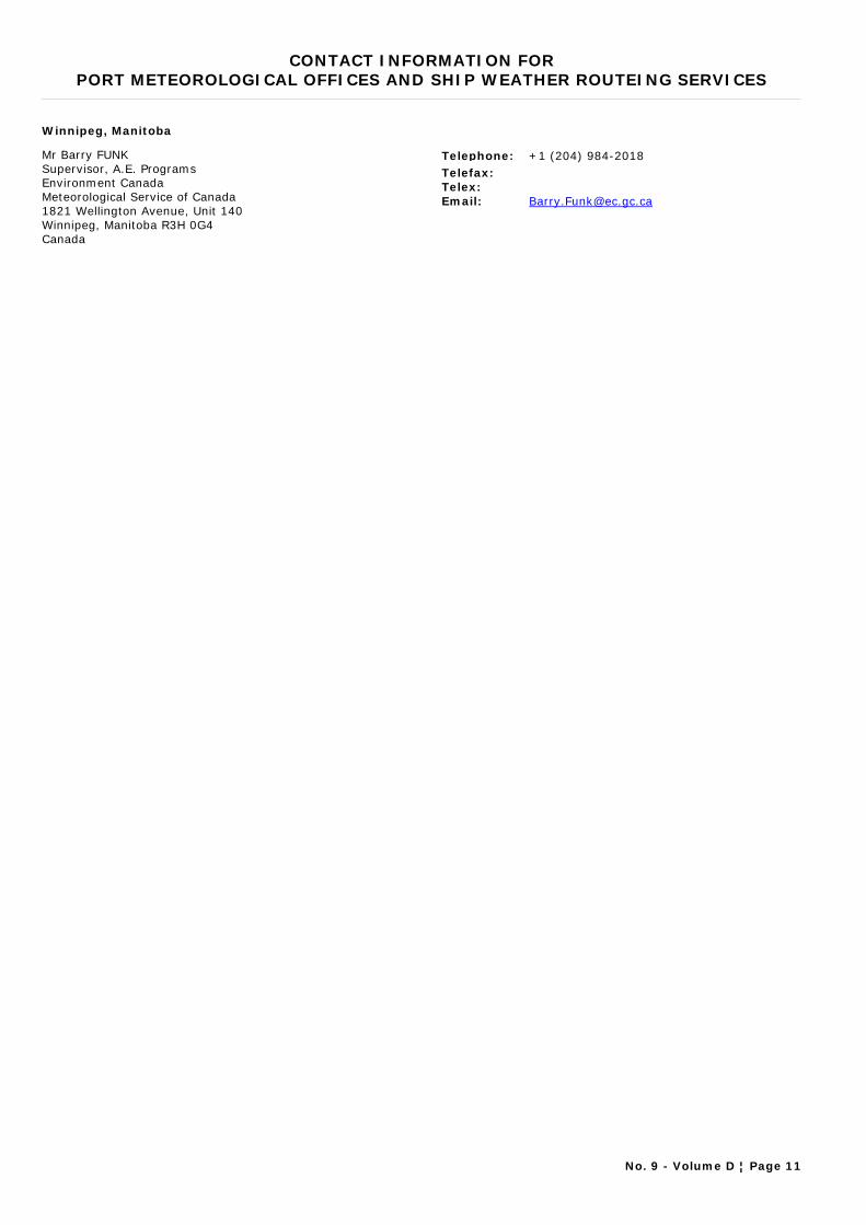
CONTACT INFORMATION FORPORT METEOROLOGICAL OFFICES AND SHIP WEATHER ROUTEING SERVICES
Winnipeg, Manitoba
Mr Barry FUNKSupervisor, A.E. ProgramsEnvironment Canada Meteorological Service of Canada 1821 Wellington Avenue, Unit 140Winnipeg, Manitoba R3H 0G4Canada
Telephone: +1 (204) 984-2018Telefax:Telex:Email: [email protected]
No. 9 - Volume D ¦ Page 11
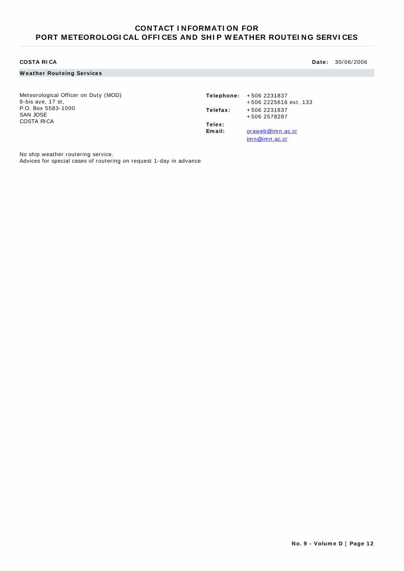
CONTACT INFORMATION FORPORT METEOROLOGICAL OFFICES AND SHIP WEATHER ROUTEING SERVICES
COSTA RICA Date: 30/06/2006
Weather Routeing Services
Meteorological Officer on Duty (MOD)9-bis ave, 17 st, P.O. Box 5583-1000SAN JOSECOSTA RICA
Telephone: +506 2231837+506 2225616 ext. 133
Telefax: +506 2231837+506 2578287
Telex:Email: [email protected]
No ship weather routering service. Advices for special cases of routering on request 1-day in advance
No. 9 - Volume D ¦ Page 12
CONTACT INFORMATION FORPORT METEOROLOGICAL OFFICES AND SHIP WEATHER ROUTEING SERVICES
CROATIA Date: 30/03/2012
Port Meteorological Offices
Split
Ružica PopovicB.C.E.Glagoljaša 1121 000 SplitCroatia
Telephone: +385 21 347 403Telefax: +385 21 347 403Telex:Email: [email protected]
Capt Željko ŠoreCaptainGlagoljaša 1121 000 SplitCroatia
Telephone: +385 21 347 403Telefax: +385 21 347 403Telex:Email: [email protected]
Weather Routeing Services
Pomorski Meteoroloski Centar (Marine Meteorological Centre)Prilaz VIII korpusa 11(Post Office Box No. 44)SPLIT 58001CROATIA
Telephone: +385 58 591033+385 58 591466
Telefax:Telex: 26103 YUMETEOREmail:
No usual ship weather routeing services. Advices for special cases of routeing in Adriatic eastern area, according to local conditions, on request
No. 9 - Volume D ¦ Page 13
CONTACT INFORMATION FORPORT METEOROLOGICAL OFFICES AND SHIP WEATHER ROUTEING SERVICES
DENMARK Date: 16/10/2003
Weather Routeing Services
Ms. Helge WagnerOperation ManagerDanish Meteorological InstituteWorld Wide Weather RouteingLyngbyvej 1002100 Copenhagen OEDENMARK
Telephone: +45 39 157575Telefax: +45 39 291212Telex: 27138Email: [email protected]
No. 9 - Volume D ¦ Page 14
CONTACT INFORMATION FORPORT METEOROLOGICAL OFFICES AND SHIP WEATHER ROUTEING SERVICES
ECUADOR Date: 10/11/2011
Port Meteorological Offices
Guayaquil
BIOLOGO Eduordo ZAMBRANOJEFE DE INVESTIGACIONES OCEANOGRAFICASInstituto Oceanográfico de la Armada del Ecuador
Telephone: 593-4-481105Telefax: 593-4-485166Telex:Email: [email protected]
Weather Routeing Services
PTO. AYORA (GALAPAGOS)INOCAR-BASE NAVAL SURAV. 25 DE JULIOMANTAGUAYAQUILECUADOR
Telephone: +593 4 2481300Telefax: +593 4 2485166Telex:Email: [email protected]
2°N-4°S AND 78°-95°W; Additional route 2°S-90°W - 63°S-58°W; PACIFIC AND ATLANTIC
No. 9 - Volume D ¦ Page 15

CONTACT INFORMATION FORPORT METEOROLOGICAL OFFICES AND SHIP WEATHER ROUTEING SERVICES
FINLAND Date: 10/11/2011
Port Meteorological Offices
Helsinki
Ms Marja AARNIO-FRISKAccount ManagerFinnish Meteorological InstitutePort Meteorological OfficesP.O. Box 503Fl00101 HELSINKIFinland
Telephone: +358 9 19291Telefax: +358 9 179 581Telex:Email: [email protected]
No. 9 - Volume D ¦ Page 17
CONTACT INFORMATION FORPORT METEOROLOGICAL OFFICES AND SHIP WEATHER ROUTEING SERVICES
FRANCE Date: 08/03/2012
Port Meteorological Offices
Aix en Provence
Mr. Michel PÉRINITechnicien supérieurMétéo France, ParisCDM 132A, Bd Château double13098 AIX EN PROVENCE CEDEX 02France
Telephone: +33-(0) 4 42 94 25 42Telefax: +33-(0) 4 42 94 25 49Telex:Email: [email protected]
Bordeaux
Mr. Claude POMARÈSChef technicienMétéo France, ParisCDM 337 avenue Roland-Garros33692 MERIGNAC CEDEXFrance
Telephone: 33-(0)5 57 29 11 70Telefax: +33-(0)5 57 29 11 75Telex:Email: [email protected]
Boulogne sur mer
Mr. Gérard DOLIGEZ Ingénieur des travauxStation météorologique 17, Bd Sainte Beuve 62200 BOULOGNE SUR MERFrance
Telephone: +33-3 21 10 85 10Telefax: +33-3 21 33 33 12Telex:Email: [email protected]
Brest
Mr. Louis PORHEL Station météorologiqueAéroport - B.P. 5429490 GUIPAVASFrance
Telephone: +33 (0)2 98 32 55 55Telefax: +33 (0)2 98 32 55 50Telex:Email: [email protected]
E-SURFMAR Programme Manager
Mr Pierre BLOUCH E-SURFMAR Programme ManagerMétéo France, ParisCentre de météorologie marine13 rue du ChatellierCS 12804F-29228 Brest cedex 2France
Telephone: +33 (0) 2 98 22 18 52Telefax: +33 (0) 2 98 22 18 49Telex:Email: [email protected]
La Réunion - Ste-Clotilde
Mr. Jean-Luc DEKUSSCHEChef technicienMétéo-France DIRRELe Chaudron BP 4 97490 Sainte Clotilde CEDEXReunion
Telephone: 00 33 2 62 92 11 30Telefax: 00 33 2 62 92 11 47Telex:Email: [email protected]
No. 9 - Volume D ¦ Page 18
CONTACT INFORMATION FORPORT METEOROLOGICAL OFFICES AND SHIP WEATHER ROUTEING SERVICES
Le Havre
Mr. Fabien DEBRAYTechnicien supérieurStation météorologiqueNouveau SémaphoreQuai des Abeilles76600 LE HAVREFrance
Telephone: +33 (0) 2 32 74 03 60Telefax: +33 (0) 2 32 74 03 61Telex:Email: [email protected]
No. 9 - Volume D ¦ Page 19
CONTACT INFORMATION FORPORT METEOROLOGICAL OFFICES AND SHIP WEATHER ROUTEING SERVICES
FRENCH POLYNESIA Date: 08/03/2012
Port Meteorological Offices
Papeete, Tahiti
Mr. Victoire LAURENT Ingénieur des travauxMétéo France, ParisDIR Polynésie FrançaiseBP 6005FAA AEROPORT98702 FAA AEROPORTFrance
Telephone: 00 689 803 361Telefax: 00 689 803 359Telex:Email: [email protected]
No. 9 - Volume D ¦ Page 20
CONTACT INFORMATION FORPORT METEOROLOGICAL OFFICES AND SHIP WEATHER ROUTEING SERVICES
GAMBIA Date: 20/03/2012
Port Meteorological Offices
Banjul / Central Forecast Office
Mr. George StaffordMeteorologist7 Marina ParadeBanjulThe Gambia
Telephone: +220-7452509 / -9090976Telefax:Telex:Email: [email protected]
Banjul / Department of Water Resources
Mr. Alagie NyangMeteorological Officer7 Marina ParadeBanjulThe Gambia
Telephone: +220-9951832Telefax:Telex:Email: [email protected]
Mr. Omar Gaye ChamMeteorological Officer7 Marina ParadeBanjulThe Gambia
Telephone: +220-7729664Telefax:Telex:Email: [email protected]
No. 9 - Volume D ¦ Page 21

CONTACT INFORMATION FORPORT METEOROLOGICAL OFFICES AND SHIP WEATHER ROUTEING SERVICES
GERMANY Date: 10/11/2011
Port Meteorological Offices
Bremerhaven
Mr. Cord-Christian GRIMMERT Deutscher WetterdienstHafendienstAn der neuen SchleuseD-27570 BremerhavenGermany
Telephone: +49 471 700 40 18Telefax: +49 471 700 40 17Telex:Email: [email protected]
Ms. Steffi MÄCKLER-SZODRYPort Meteorological OfficerDeutscher WetterdienstHafendienstAn der neuen SchleuseD-27570 BremerhavenGermany
Telephone: +49 471 700 40 18Telefax: +49 471 700 40 17Telex:Email: [email protected]
Germany (lead)
Mr Volker WEIDNERPMO SupervisorDeutscher WetterdienstHafendienstBernhard-Nocht-Strasse 7620359 HamburgGermany
Telephone: +49 40 6690 1410Telefax: +49 40 6690 1496Telex:Email: [email protected]
Hamburg
Mr. Horst VON BARGEN Deutscher WetterdienstHafendienstBernhard-Nocht-Str. 76D-20359 HamburgGermany
Telephone: +49 40 6690 1412Telefax: +49 40 6690 1496Telex:Email: [email protected]
Ms Susanne RIPKEPMO, HamburgDeutscher WetterdienstHafendienstBernhard-Nocht-Str. 7620359 HamburgGermany
Telephone: +49 40 6690 1421Telefax: +49 40 6690 1496Telex:Email: [email protected]
Hamburg (E-ASAP)
Mr Harald BUDWEGPMO Hamburg (E-ASAP)Deutscher WetterdienstBernhard-Nocht-Strasse 76D-20359 HamburgGermany
Telephone: +49 40 6690 1414Telefax: +49 40 6690 1496Telex:Email: [email protected]
PMO, Germany
PMODeutscher WetterdienstPort Meteorological Office HeadquatersDeutscher WetterdienstHamburgGerman
Telephone: +49 40 6690 1412Telefax: +49 40 6690 1496Telex:Email: [email protected]
No. 9 - Volume D ¦ Page 22
CONTACT INFORMATION FORPORT METEOROLOGICAL OFFICES AND SHIP WEATHER ROUTEING SERVICES
Rostock
Ms. Christel HEIDNERPMO, RostockDeutscher WetterdienstHafendienstSeestr. 15aD-18119 RostockGermany
Telephone: +49 381 54388 30/31Telefax: +49 381 54388 63Telex:Email: [email protected]
VOS Headquarters (Gemany)
Ms. Marion LANGENBACHDeutscher WetterdienstFrankfurter Strasse 13563067 OFFENBACHGermany
Telephone: +49 69 8062 2156Telefax: +49 69 8062 3809Telex:Email: [email protected]
Weather Routeing Services
Deutscher WetterdienstBernhard-Nocht-Straße 76Postfach 30 11 90HAMBURG 20304GERMANY
Telephone: +4940 66901811Telefax: ++49 40 66901947Telex: 211 291 hadw dEmail: [email protected]
The German Weather Service in Hamburg offers ship weather routeing for all oceans.
No. 9 - Volume D ¦ Page 23
CONTACT INFORMATION FORPORT METEOROLOGICAL OFFICES AND SHIP WEATHER ROUTEING SERVICES
GHANA Date: 13/11/1999
Weather Routeing Services
Principal Meteorological OfficerGhana Meteorological Services DepartmentP.O. Box 87LegonGHANA
Telephone: +233 2276381Telefax:Telex: DIRMETEOEmail:
No ship weather routeing services
No. 9 - Volume D ¦ Page 24
CONTACT INFORMATION FORPORT METEOROLOGICAL OFFICES AND SHIP WEATHER ROUTEING SERVICES
GIBRALTAR Date: 10/11/2011
Port Meteorological Offices
Gibraltar
Pmo GIBRALTARPMOMeteorological OfficeRAF Gibraltar, BFPO 52Gibraltar
Telephone: +350 53419Telefax: +350 53474Telex:Email:
No. 9 - Volume D ¦ Page 25
CONTACT INFORMATION FORPORT METEOROLOGICAL OFFICES AND SHIP WEATHER ROUTEING SERVICES
GREECE Date: 15/03/2012
Port Meteorological Offices
Hellinikon
Mr Michael MYRSILIDISHead, Marine Meteorology SectionEl. Venizelou 14 167 77 ATHENSGREEC
Telephone: +30 210 9699013Telefax: +30 210 9628952Telex:Email: [email protected]
Mr Dionysia KOTTAMarine Meteorology Section officerEl. Venizelou 14 167 77 ATHENSGREECE
Telephone: +30 210 9699113Telefax: +30 210 9628952Telex:Email: [email protected]
No. 9 - Volume D ¦ Page 26

CONTACT INFORMATION FORPORT METEOROLOGICAL OFFICES AND SHIP WEATHER ROUTEING SERVICES
HONG KONG, CHINA Date: 15/03/2012
Port Meteorological Offices
Hong Kong
Mr Chung Wai WUPort Meteorological OfficerHong Kong Observatory134A Nathan roadKowloonHong Kong, China
Telephone: +852 2926 3113Telefax: +852 2311 9448Telex:Email: [email protected]
No. 9 - Volume D ¦ Page 27

CONTACT INFORMATION FORPORT METEOROLOGICAL OFFICES AND SHIP WEATHER ROUTEING SERVICES
ICELAND Date: 10/11/2011
Port Meteorological Offices
Reykjavik
Mr Odinn TAORARINNSONHead, MeasurementsIcelandic Meteorological OfficeBústaðavegi 9150 ReykjavíkIceland
Telephone: +354 522 6000Telefax: +354 522 6004Telex:Email: [email protected]
No. 9 - Volume D ¦ Page 28
CONTACT INFORMATION FORPORT METEOROLOGICAL OFFICES AND SHIP WEATHER ROUTEING SERVICES
INDIA Date: 10/11/2011
Port Meteorological Offices
Chennai
Mr. G. VAIDYANATHAN (PMO, Chennai) A.M.I, PMO - ChennaiPMO, Chennai C/O Regional Meterological CentreCHENNAINo.6,College Road600 006CHENNAIIndia
Telephone: +91 044 28230091 ext. 237Telefax: +91 044 28271581Telex:Email: [email protected]
Goa
Mr. A. D. J. DE SOUZA A.M. II , PMO, Goa, Officer-in-chargePort Meteorological Liasion OfficeNear MPT Signal Station,Sada P.O.Head Land Sada403 804GOAIndia
Telephone: +91 0832242-5547/0161Telefax: +91 08322 225295/420161Telex:Email: [email protected]
Kochi
Mr. V.l. RAJENDRANS.A., Officer-In-chargePort Meteorological Office Ex-Mahavir Plantation Building Opp. IOC Ltd. Indira Gandhi Road Willingdon Island, South P.OKOCHI 682 003KERALA STATEIndia
Telephone: +91 0484 2667042Telefax: +91 0484 2667042Telex:Email: [email protected]
Kolkata
Mr. Ganesh Kumar DASMET I, PMO KolkataC/O Regional Meterological CentreAlipore4,Duel AvenueKOLKATA 700027India
Telephone: +91 033 24793167Telefax: +91 033 24793167Telex:Email: [email protected]
Mumbai
Mr. R. R. SAYAD A.M. II, PMO MumbaiPMO, MumbaiC/O Inspectorate Section Regional Meterological Centre Near R.C.Church COLABAMUMBAI 400005India
Telephone: +91 02222174720 / +91 09969963851Telefax: +91 022 22154098Telex:Email: [email protected]
No. 9 - Volume D ¦ Page 29
CONTACT INFORMATION FORPORT METEOROLOGICAL OFFICES AND SHIP WEATHER ROUTEING SERVICES
Visakhapatnam
Mr. G. V. RAMA KRISHNA RAOA.M.I., PMO - VisakhapatnamPMO,VishakhapatnamC/O Cyclone Warning Centre, Andhra University Out GateVISAKHAPATNAM 530 017India
Telephone: +91 0891- 25430 31/32/34/35/36Telefax: +91 0891-25430 33/36Telex:Email: [email protected]
Weather Routeing Services
Dr. V. ThapliyalDeputy Director General of Meteorology(Weather Forecasting)Pune-5Lodhi RoadNew Delhi 110003INDIA
Telephone: +91 20 5535886Telefax: 91 20 5533201Telex: 1457792Email: [email protected]
No. 9 - Volume D ¦ Page 30
CONTACT INFORMATION FORPORT METEOROLOGICAL OFFICES AND SHIP WEATHER ROUTEING SERVICES
INDONESIA Date: 30/03/2012
Port Meteorological Offices
Marine Meteorological Station – Tanjung Priok
Yudi SuryadarmaHead of Data and InformationMarine Meteorological Station – Tanjung PriokJl. Padang Marang 4 PelabuhanTanjung PriokJakarta Utara 14310Indonesia
Telephone: +62-21-43901650Telefax: +62-62-21-4351366Telex:Email: [email protected]
Marine Meteorological Station-Belawan
Ramos Tobing, S.SIForecasterMarine Meteorological Station-BelawanJl. Raya Pelabuhan II Gabion Ringkai Belawan -Medan
Telephone: +62-61-694851Telefax: +62-61-6940340Telex:Email: [email protected]
Marine Meteorological Station-Paotere Makassar
PurwantoHead of Data and InformationMarine Meteorological Station-Paotere MakassarJl. Sabutung I No. 30 Paotere - Makassar
Telephone: +62-411-319242Telefax: +62-411-328235Telex:Email: [email protected]
Marine Meteorological Station-Tanjung Emas
Retno WidyaningsihForecasterJl. Deli No.3 Pelabuhan Tanjung EmasSEMARANG - 50174Indonesia
Telephone: +62-24-3559194Telefax: +62-24-3549050Telex:Email: [email protected]
Marine Meteorological Station-Tanjung Perak
Bambang SetiajidHead of Data and InformationMarine Meteorological Station-Tanjung PerakJl. Kalimas Baru 97B Perak Surabaya
Telephone:Telefax: +62-31-3291439Telex:Email: [email protected]
No. 9 - Volume D ¦ Page 31
CONTACT INFORMATION FORPORT METEOROLOGICAL OFFICES AND SHIP WEATHER ROUTEING SERVICES
IRELAND Date: 10/11/2011
Port Meteorological Offices
Cork and south coast of Ireland
Mr Brian DOYLEPrincipal Meteorological OfficerMet Éireann, the Irish Meteorological Service Online HeadquartersCork AirportCORKIreland
Telephone: +353 21 4917753Telefax: +353 21 431-7405/3539Telex:Email: [email protected]
Dublin and All coasts of Ireland
Mr Columba CREAMERPMOMet Éireann, the Irish Meteorological Service Online HeadquartersGlasnevin HillDublin 9Ireland
Telephone: +353 1 8064228Telefax: +353 1 8064247Telex:Email: [email protected]
Online www.met.ie
No. 9 - Volume D ¦ Page 32

CONTACT INFORMATION FORPORT METEOROLOGICAL OFFICES AND SHIP WEATHER ROUTEING SERVICES
ISRAEL Date: 10/11/2011
Port Meteorological Offices
Haifa
Ms Hani ARBEL PMOPort Meteorological OfficeP.O. Box 35772HAIFAIsrael
Telephone: +972 4 8664427Telefax: +972 4 8664427Telex:Email:
No. 9 - Volume D ¦ Page 33
CONTACT INFORMATION FORPORT METEOROLOGICAL OFFICES AND SHIP WEATHER ROUTEING SERVICES
JAPAN Date: 09/03/2012
Port Meteorological Offices
Hakodate
Mr. Hiroyuki TAKANOMaritime Meteorological OfficerMaritime Meteorological DivisionHakodate Marine Observatory 3-4-4, Mihara, Hakodate 041-0806 Japan
Telephone: +81 138 46 2213Telefax: +81 138 47 7682Telex:Email: [email protected]
Headquarters/JMA
Mr Satoshi OGAWASenior Scientific OfficerMarine DivisionGlobal Environment and Marine Department Japan Meteorological Agency 1-3-4, Ote-machi, Chiyoda-ku, Tokyo 100-8122 Japan
Telephone: +81 3 3211 6909Telefax: +81 3 3211 6908Telex:Email: [email protected]
Kobe
Masahiro INOUEPort Meteorological OfficerMaritime Meteorological DivisionKobe Marine Observatory1-4-3, Wakinohamakaigan-dori, Chuo-ku,Kobe 651-0073Japan
Telephone: +81 78 222 8918Telefax: +81 78 222 8946Telex:Email: [email protected]
Maizuru
Mr. Tadayoshi UTSUNOMIYAMaritime Meteorological OfficerMaritime Meteorological Division Maizuru Marine Observatory 901, Shimofukui, Maizuru 624-0946 Japan
Telephone: +81 773 76 4114Telefax: +81 773 76 4114Telex:Email: [email protected]
Nagasaki
Mr. Tadahiro SAITOUMaritime Meteorological OfficerMaritime Meteorological DivisionNagasaki Marine Observatory 11-51, Minami-yamate, Nagasaki 850-0931 Japan
Telephone: +81 95 811 4867Telefax: +81 95 823 8220Telex:Email: [email protected]
Nagoya
Mr. Hiroaki KATO (PMO, Nagoya) Port Meteorological OfficerObservations & Forecast DivisionNagoya Local Meteorological Observatory2-18, Hiyori-cho, Chikusa-ku,Nagoya 464-0039Japan
Telephone: +81 52 752 6364Telefax: +81 52 762 1242Telex:Email: [email protected]
No. 9 - Volume D ¦ Page 34
CONTACT INFORMATION FORPORT METEOROLOGICAL OFFICES AND SHIP WEATHER ROUTEING SERVICES
Yokohama
Mr. Hideshi YOSHIMI Port Meteorological OfficerTechnical DivisionYokohama Local Meteorological Observatory99, Yamate-cho, Naka-ku,Yokohama 231-0862Japan
Telephone: +81 45 621 1991Telefax: +81 45 622 3520Telex:Email: [email protected]
No. 9 - Volume D ¦ Page 35
CONTACT INFORMATION FORPORT METEOROLOGICAL OFFICES AND SHIP WEATHER ROUTEING SERVICES
JORDAN Date: 13/11/1999
Weather Routeing Services
The Met OfficeAqaba PortAqabaJORDAN
Telephone: Aqaba 3608Telefax:Telex: 21908 METAM-JOEmail:
No. 9 - Volume D ¦ Page 36

CONTACT INFORMATION FORPORT METEOROLOGICAL OFFICES AND SHIP WEATHER ROUTEING SERVICES
KENYA Date: 25/11/2011
Port Meteorological Offices
Mombasa
Ms. Lydiah INOTI PMO, MombasaKenya Meteorological DepartmentP. O. Box 98512MombasaKenya
Telephone: +254 41 433 789Telefax: +254 41 433 689Telex:Email: [email protected]
No. 9 - Volume D ¦ Page 37
CONTACT INFORMATION FORPORT METEOROLOGICAL OFFICES AND SHIP WEATHER ROUTEING SERVICES
KUWAIT Date: 13/11/1999
Weather Routeing Services
Reyadh A. Al-SanehMeteorological DepartmentCivil AviationP.O. Box 17SafatKUWAIT
Telephone:Telefax:Telex: 23038 CIVAIREmail:
No. 9 - Volume D ¦ Page 38
CONTACT INFORMATION FORPORT METEOROLOGICAL OFFICES AND SHIP WEATHER ROUTEING SERVICES
LATVIA Date: 13/11/1999
Weather Routeing Services
Mr. Yuriy SHISHKINHeadLatvian Hydrometeorological AgencyMarine Forecasting Department165, Maskavas Str.RIGA LV - 1019LATVIA
Telephone: +371 7 112038Telefax:Telex: 161151 SHAR LVEmail:
No. 9 - Volume D ¦ Page 39

CONTACT INFORMATION FORPORT METEOROLOGICAL OFFICES AND SHIP WEATHER ROUTEING SERVICES
MALAYSIA Date: 17/02/2012
Port Meteorological Offices
Port Bintulu
Mr. Siao Chin TIEK Port Meteorological Officer, Malaysian Meteorological DepartmentBintulu Meteorological stationP.O. Box 28597007 BINTULUSARAWAKMalaysia
Telephone: + 6 086314 386Telefax: + 6 086334 148Telex:Email: [email protected]
Port Klang
Mr Mohd Shawal DARSONOPort Meteorological Officer, Malaysian Meteorological Department Division of Synoptic ObservationJalan Sultan46667 PETALING JAYASELANGORMalaysia
Telephone: +6 037967 8084Telefax: +6 037957 8046Telex:Email: [email protected]
Port Kota Kinabalu
Mr. Ibrahim MD ARIFFPort Meteorological Officer, Malaysian meteorological DepartmentKota Kinabalu Meteorological Office7th Floor, Wisma dang Bandang,PO Box 5488995 KOTA KINABALUSABAHMalaysia
Telephone: + 6 088265 719Telefax: + 6 088211019Telex:Email: [email protected]
No. 9 - Volume D ¦ Page 40
CONTACT INFORMATION FORPORT METEOROLOGICAL OFFICES AND SHIP WEATHER ROUTEING SERVICES
MAURITIUS Date: 10/11/2011
Port Meteorological Offices
Mauritius
Mr. S. CAHOOLESSUR (Liaison Office, Mauritius) MeteorologistMauritius Meteorological Services Mauritius
Telephone: 230 686 1031,32Telefax: 230 6861033Telex:Email: [email protected]
No. 9 - Volume D ¦ Page 41
CONTACT INFORMATION FORPORT METEOROLOGICAL OFFICES AND SHIP WEATHER ROUTEING SERVICES
MOROCCO Date: 10/11/2011
Port Meteorological Offices
Casablanca
Mr. Hassan AMANE Meteorological OfficerStation MétéorologiqueJETEE MY.YOUSSEFPORT DE CASABLANCAMorocco
Telephone: +212 5 22 450277Telefax: +212 5 22 450301Telex:Email: [email protected]
Direction de la Météorologie Nationale(service marine)
Mr Hassan BOUKSIM (Service marine) Chief, Marine Meteorology divisionDirection de la Météorologie Nationale B.P. 8106 OASIS-CASABLANCACasablanca 20103Morocco
Telephone: +212 522 65 49 20Telefax: +212 522 9136 98Telex:Email: [email protected]
Mohammedia
Mr. Jamal BAHRI Meteorological OfficerStation Météorologique PORT DE MOHAMMEDIA B.P 11Morocco
Telephone: +212 5 23 304128Telefax: +212 5 23 304521Telex:Email: [email protected]
No. 9 - Volume D ¦ Page 42
CONTACT INFORMATION FORPORT METEOROLOGICAL OFFICES AND SHIP WEATHER ROUTEING SERVICES
NETHERLANDS Date: 27/03/2012
Port Meteorological Offices
All Ports in The Netherlands
R.J. Rozeboom/A.A. de VriesPMOP.O. box 2013730 AE De BiltThe Netherlands
Telephone: +31 30 2206-678/851Telefax:Telex:Email: [email protected]
Antwerpen
R.J. Rozeboom/A.A. de VriesPMOP.O. box 2013730 AE De BiltThe Netherlands
Telephone: +31 30 2206-678/851Telefax:Telex:Email: [email protected]
No. 9 - Volume D ¦ Page 43
CONTACT INFORMATION FORPORT METEOROLOGICAL OFFICES AND SHIP WEATHER ROUTEING SERVICES
NEW CALEDONIA Date: 08/03/2011
Port Meteorological Offices
Nouméa
Mr. Franck LAVAUD (PMO, Nouméa) Technicien supérieurStation météorologique BP 15198845 NOUMEA PORTNew Caledonia
Telephone: 00 687 27 93 12Telefax: 00 687 27 93 27Telex:Email: [email protected]
No. 9 - Volume D ¦ Page 44

CONTACT INFORMATION FORPORT METEOROLOGICAL OFFICES AND SHIP WEATHER ROUTEING SERVICES
NEW ZEALAND Date: 27/09/2012
Port Meteorological Officer
PMO services all major NZ ports - Based in Wellington
Mr. Tony QUAYLEPMOManager, Marine ObservationsMeteorological Service of New Zealand LimitedP.O. Box 722Wellington 6140New Zealand
Telephone: +64 4 470 0759Telefax: +64 4 473 5231Telex:Email: [email protected]
No. 9 - Volume D ¦ Page 45

CONTACT INFORMATION FORPORT METEOROLOGICAL OFFICES AND SHIP WEATHER ROUTEING SERVICES
NORWAY Date: 10/11/2011
Port Meteorological Offices
Bergen
Mr Jan MOSTROM Senior executive meteorological officerNorwegian Meteorological Institute, Forecasting Division of Western NorwayBergen Lufthavn FleslandPostboks 34 Bergen lufthavn5869 BergenBergenNorway
Telephone: +47 55 99 82 04Telefax:Telex:Email: [email protected]
No. 9 - Volume D ¦ Page 46

CONTACT INFORMATION FORPORT METEOROLOGICAL OFFICES AND SHIP WEATHER ROUTEING SERVICES
PAKISTAN Date: 10/11/2011
Port Meteorological Offices
Karachi
Mr. Asif USMANPort Meteorological OfficerMeteorological Office Room No. 3106Jinnah Int’l AirportKarachi-75200Pakistan
Telephone: 92-21-9071300, 9071322Telefax: 92-21-9248282Telex:Email: [email protected]
Weather Routeing Services
Meteorological OfficeJinnah International AirportRoom # 3106KARACHIPAKISTAN
Telephone: +92 21 9248281+92 21 467 1322+92 21 4671300
Telefax: +92 21 9248680+92 21 9248282
Telex: N/AEmail: [email protected]
(1) Meteorological Office to Karachi Coast Station to Ships/Vessels via broadcast.
(2) Meteorological Office to LES, Perth via SafetyNet.
No. 9 - Volume D ¦ Page 47
CONTACT INFORMATION FORPORT METEOROLOGICAL OFFICES AND SHIP WEATHER ROUTEING SERVICES
PERU Date: 13/11/1999
Weather Routeing Services
Dirección de Hidrografía y Navigación de la MarinaAv. Gamarra No. 500ChucuitoCALLAOPERU
Telephone: +51 1 298925+51 1 299578
Telefax:Telex: 26024 PE HIDRONAVEmail:
No. 9 - Volume D ¦ Page 48
CONTACT INFORMATION FORPORT METEOROLOGICAL OFFICES AND SHIP WEATHER ROUTEING SERVICES
PHILIPPINES Date: 10/11/2011
Port Meteorological Offices
Cagayan de Oro City
Mr Leo RODRIGUEZPMOPAGASA Complex StationCAGAYAN DE ORO CITY 9000Misamis OccidentalPhilippines
Telephone: +63-8822 722 760Telefax:Telex:Email:
Davao City
Mr Edwin FLORESPMOPAGASA Complex StationBangoy AirportDAVAO CITY 8000Philippines
Telephone: +63-82 234 08 90Telefax:Telex:Email:
Dumaguete City
Mr Edsin CULIPMOPAGASA Complex StationDumaguete City AirportDUMAGUETE CITY, Negros Oriental 6200Philippines
Telephone: +63-35 225 28 04Telefax:Telex:Email:
Legaspi City
Mr Othello ESTAREJAPMOPAGASA Complex StationLEGASPI CITY 4500Philippines
Telephone: +63-5221 245 5241Telefax:Telex:Email:
Mactan City
Mr Roberto ENTRADAPMOPAGASA Complex StationMactan AirportMactan City, CEBU 6016Philippines
Telephone: +63-32 495 48 44Telefax:Telex:Email:
Manila South Harbor
Mr Benjamin TADO PMOPAGASA Port Meteorological OfficePPATC Building, Gate 4South Harbour, MANILA 1018Philippines
Telephone: +63-22 527 03 16Telefax:Telex:Email:
No. 9 - Volume D ¦ Page 49

CONTACT INFORMATION FORPORT METEOROLOGICAL OFFICES AND SHIP WEATHER ROUTEING SERVICES
POLAND Date: 10/11/2011
Port Meteorological Offices
Gdynia & Gdansk
Mr Józef KOWALEWSKI Port Meteorological OfficerInstitute of Meteorology and Water Management Institute of Meteorolgoy and Water Managementul. Waszyngtona 42PL-81-342 GdyniaPoland
Telephone: +48 58 6288151Telefax: +48 58 6288163Telex:Email: [email protected]
No. 9 - Volume D ¦ Page 50

CONTACT INFORMATION FORPORT METEOROLOGICAL OFFICES AND SHIP WEATHER ROUTEING SERVICES
REPUBLIC OF KOREA Date: 10/04/2012
Port Meteorological Offices
Busan
Port Meteorological Officer, Busan Regional Meteorological Administration577 Myeongnyun 1(il)-dong, Dongnae-gu,Busan 607-804, Republic of Korea
Telephone: +82-51-718-0200Telefax: +82-51-558-9506Telex:Email: [email protected]
Inchon
Port Meteorological Officer, PMOInchon Meteorological Station25-59 Chon-dong, Chung-guInchonKorea Rep
Telephone: +82-32-761-9969Telefax: +82-32-763-0365Telex:Email: [email protected]
Weather Routeing Services
Mr. Jee-Yong LeeWeather Analysis OfficerKorea Meteorological Service1, Songwol-dongChongro-kuSEOULREPUBLIC OF KOREA
Telephone: +82 32 7390011Telefax:Telex: 35-2126Email:
No. 9 - Volume D ¦ Page 51

CONTACT INFORMATION FORPORT METEOROLOGICAL OFFICES AND SHIP WEATHER ROUTEING SERVICES
ROMANIA Date: 10/11/2011
Port Meteorological Offices
Constantza
Constantin MUSTETEAPMO, ConstanzaForecaster - Forecast Division - RFC Dobrogea300, Mamaia bulevardRomania
Telephone: 0040241543054Telefax:Telex:Email:
Mrs Mirela Milena NITAHead of Forecast Division - RFC Dobrogea300, Mamaia bulevardCONSTANTZARomania
Telephone: 0040241543054Telefax: [email protected]:Email:
Mariana FRATILA PMO, ConstantzaForecaster - Forecast Division - RFC Dobrogea300, Mamaia bulevardRomania
Telephone: 0040241543054Telefax:Telex:Email:
Melania PETRESCUPMO, ConstantzaForecaster - Forecast Division - RFC Dobrogea300, Mamaia bulevardRomania
Telephone: 0040241543054Telefax:Telex:Email:
No. 9 - Volume D ¦ Page 52
CONTACT INFORMATION FORPORT METEOROLOGICAL OFFICES AND SHIP WEATHER ROUTEING SERVICES
RUSSIAN FEDERATION Date: 21/03/2012
Port Meteorological Offices
Arkhangelsk
Mr. Valentina VARLACHEVAMeteorologistRussian Federation
Telephone:Telefax:Telex:Email: [email protected]
Mr. Antonoy DENIS MeteorologistRussian Federation
Telephone:Telefax:Telex:Email: [email protected]
Kholmsk (Juzhnosakhalinsk)
Ms. Tamara ZINOVAPMORussian Federation
Telephone: +7(42433)2-00-77Telefax:Telex:Email: [email protected]
Murmansk
Ms. Mary CHEMOGANSKAYAPMORussian Federation
Telephone:Telefax:Telex:Email: [email protected]
Ms Irina PAKHOMOVAPMO group chiefRussian Federation
Telephone:Telefax:Telex:Email: [email protected]
Ms. Marina SHCHURKOVAPMORussian Federation
Telephone:Telefax:Telex:Email: [email protected]
Mr. Nadezhda HVOROVAPMORussian Federation
Telephone:Telefax:Telex:Email: [email protected]
Petropavlovsk-Kamchatsky
Ms. Elena KRASNOSHTANOVA PMORussian Federation
Telephone:Telefax:Telex:Email: [email protected]
Saint-Petersburg
Ms. Elena ParikovaPMORussian Federation
Telephone:Telefax:Telex:Email: [email protected]
No. 9 - Volume D ¦ Page 53
CONTACT INFORMATION FORPORT METEOROLOGICAL OFFICES AND SHIP WEATHER ROUTEING SERVICES
Vladivostok
Ms. Irina MudrakovaPMORussian Federation
Telephone:Telefax:Telex:Email: [email protected]
Ms. Ludmila DEGAPMORussian Federation
Telephone:Telefax:Telex:Email: [email protected]
No. 9 - Volume D ¦ Page 54
CONTACT INFORMATION FORPORT METEOROLOGICAL OFFICES AND SHIP WEATHER ROUTEING SERVICES
RUSSIAN FEDERATION (EUROPE) Date: 13/11/1999
Weather Routeing Services
Prof. K.P. VasilievChiefHydrometeorological Research Centre of the Former USSRMarine Hydrological Forecasting Division9-13 BolshevistskayaMOSCOW 123376RUSSIAN FEDERATION
Telephone: +7 495 2551774Telefax:Telex: 411117Email:
No. 9 - Volume D ¦ Page 55

CONTACT INFORMATION FORPORT METEOROLOGICAL OFFICES AND SHIP WEATHER ROUTEING SERVICES
SAMOA Date: 23/08/2006
Weather Routeing Services
Samoa Ports AuthorityPrivate BagMATAUTUSAMOA
Telephone: +685 20855+685 20856
Telefax: +685 20857Telex:Email: [email protected]
To GTS using: FZZM50 NSAP bulletin header.
No. 9 - Volume D ¦ Page 56

CONTACT INFORMATION FORPORT METEOROLOGICAL OFFICES AND SHIP WEATHER ROUTEING SERVICES
SAUDI ARABIA Date: 10/11/2011
Port Meteorological Offices
Jeddah
Mr Mahmoud M. RAJKHANPMOMeteorology and Environmental ProtectionAdministration (MEPA)P.O. Box 1358JEDDAH 21431Saudi Arabia
Telephone: +966-2 6512312 ext. 2252 or 2564Telefax:Telex:Email:
No. 9 - Volume D ¦ Page 57
CONTACT INFORMATION FORPORT METEOROLOGICAL OFFICES AND SHIP WEATHER ROUTEING SERVICES
SINGAPORE Date: 10/11/2011
Port Meteorological Offices
Singapore
Ong Chin HONGPort Meteorologcal OfficerPO Box 8Singapore Changi Airport Post OfficeSingapore 918141Singapore
Telephone: +65 65457198Telefax: +65 65458633Telex:Email: [email protected]
No. 9 - Volume D ¦ Page 58
CONTACT INFORMATION FORPORT METEOROLOGICAL OFFICES AND SHIP WEATHER ROUTEING SERVICES
SOUTH AFRICA Date: 10/11/2011
Port Meteorological Offices
Cape Town
Mr. C. S. MARAISPort Meteorological OfficerSouth African Weather Service, Head OfficeWeather officeP.O. Box 21Cape Town International AirportCape Town 7525South Africa
Telephone: +27-21 934 0450Telefax: +27-21 934 3296Telex:Email: [email protected]
Durban
Mr Fergus D. MCKAYPort Meteorological OfficerSouth African Weather Service, Head OfficeWeather officeKing Shaka International AirportDurban 4407South Africa
Telephone: +27-324363814Telefax: +27-324363815Telex:Email: [email protected]
No. 9 - Volume D ¦ Page 59
CONTACT INFORMATION FORPORT METEOROLOGICAL OFFICES AND SHIP WEATHER ROUTEING SERVICES
SRI LANKA Date: 10/11/2011
Port Meteorological Offices
Colombo
Mr Ajith WEERAWARDENA Meteorologist in ChargeDepartment of Meteorology Sri Lanka83, BauddhalokaMawathaColombo 07Sri Lanka
Telephone: +94-1 1268 2661Telefax:Telex:Email: [email protected]
No. 9 - Volume D ¦ Page 60

CONTACT INFORMATION FORPORT METEOROLOGICAL OFFICES AND SHIP WEATHER ROUTEING SERVICES
SURINAME Date: 13/11/1999
Weather Routeing Services
J.R. WadilieChiefMeteorological Service SurinameZanderij International AirportAeronautical DivisionDistrict ParaSURINAME
Telephone: +595 025154+595 025206
Telefax:Telex:Email:
No. 9 - Volume D ¦ Page 61
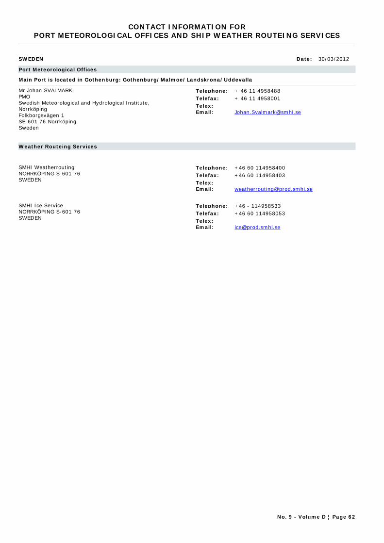
CONTACT INFORMATION FORPORT METEOROLOGICAL OFFICES AND SHIP WEATHER ROUTEING SERVICES
SWEDEN Date: 30/03/2012
Port Meteorological Offices
Main Port is located in Gothenburg: Gothenburg/Malmoe/Landskrona/Uddevalla
Mr Johan SVALMARKPMOSwedish Meteorological and Hydrological Institute, NorrköpingFolkborgsvägen 1SE-601 76 NorrköpingSweden
Telephone: + 46 11 4958488Telefax: + 46 11 4958001Telex:Email: [email protected]
Weather Routeing Services
SMHI WeatherroutingNORRKÖPING S-601 76SWEDEN
Telephone: +46 60 114958400Telefax: +46 60 114958403Telex:Email: [email protected]
SMHI Ice ServiceNORRKÖPING S-601 76SWEDEN
Telephone: +46 - 114958533Telefax: +46 60 114958053Telex:Email: [email protected]
No. 9 - Volume D ¦ Page 62
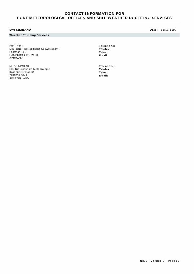
CONTACT INFORMATION FORPORT METEOROLOGICAL OFFICES AND SHIP WEATHER ROUTEING SERVICES
SWITZERLAND Date: 13/11/1999
Weather Routeing Services
Prof. HöhnDeutscher Wetterdienst SeewetteramtPostfach 180HAMBURG 4 D - 2000GERMANY
Telephone:Telefax:Telex:Email:
Dr. G. SimmenInstitut Suisse de MétéorologieKrähbühlstrasse 58ZURICH 8044SWITZERLAND
Telephone:Telefax:Telex:Email:
No. 9 - Volume D ¦ Page 63
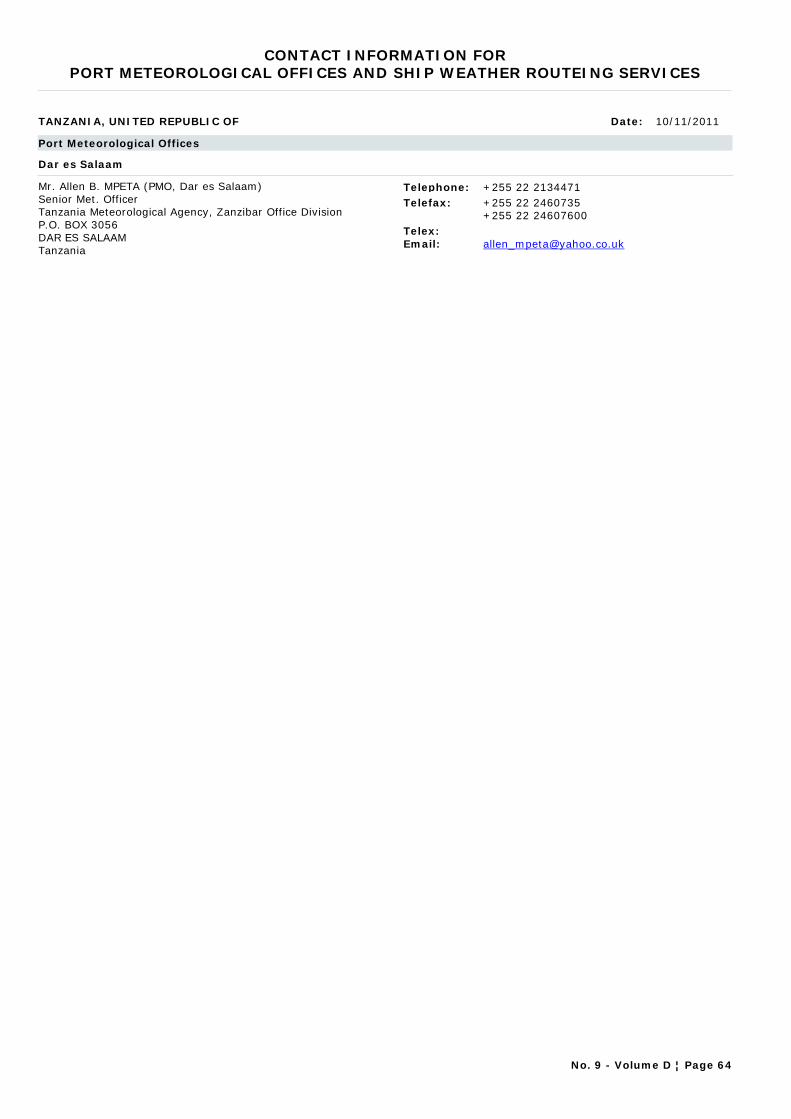
CONTACT INFORMATION FORPORT METEOROLOGICAL OFFICES AND SHIP WEATHER ROUTEING SERVICES
TANZANIA, UNITED REPUBLIC OF Date: 10/11/2011
Port Meteorological Offices
Dar es Salaam
Mr. Allen B. MPETA (PMO, Dar es Salaam) Senior Met. OfficerTanzania Meteorological Agency, Zanzibar Office DivisionP.O. BOX 3056DAR ES SALAAMTanzania
Telephone: +255 22 2134471Telefax: +255 22 2460735
+255 22 24607600Telex:Email: [email protected]
No. 9 - Volume D ¦ Page 64
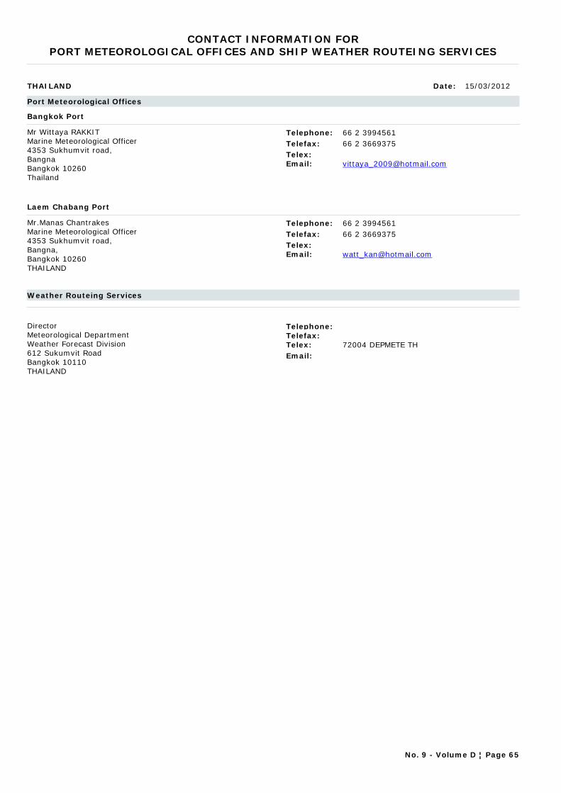
CONTACT INFORMATION FORPORT METEOROLOGICAL OFFICES AND SHIP WEATHER ROUTEING SERVICES
THAILAND Date: 15/03/2012
Port Meteorological Offices
Bangkok Port
Mr Wittaya RAKKIT Marine Meteorological Officer4353 Sukhumvit road, BangnaBangkok 10260Thailand
Telephone: 66 2 3994561Telefax: 66 2 3669375Telex:Email: [email protected]
Laem Chabang Port
Mr.Manas ChantrakesMarine Meteorological Officer4353 Sukhumvit road, Bangna, Bangkok 10260 THAILAND
Telephone: 66 2 3994561Telefax: 66 2 3669375Telex:Email: [email protected]
Weather Routeing Services
DirectorMeteorological DepartmentWeather Forecast Division612 Sukumvit RoadBangkok 10110THAILAND
Telephone:Telefax:Telex: 72004 DEPMETE THEmail:
No. 9 - Volume D ¦ Page 65
CONTACT INFORMATION FORPORT METEOROLOGICAL OFFICES AND SHIP WEATHER ROUTEING SERVICES
TURKEY Date: 13/11/1999
Weather Routeing Services
Ercan ERUSDirectorDeniz Meteoroloji BürosuAirport Meteorological OfficeKaraköy Liman BaskanligiYesilköyISTANBULTURKEY
Telephone: +90 212 149126+90 212 738721
Telefax:Telex: 22602Email:
No. 9 - Volume D ¦ Page 66
CONTACT INFORMATION FORPORT METEOROLOGICAL OFFICES AND SHIP WEATHER ROUTEING SERVICES
UGANDA Date: 10/11/2011
Port Meteorological Offices
Meteorologist
Mr Kituusa MOHAMMED MeteorologistDepartment of Meteorology, Ministry of Water and EnvironmentP.O.BOX 7025KampalaUganda
Telephone:Telefax:Telex:Email: [email protected]
No. 9 - Volume D ¦ Page 67

CONTACT INFORMATION FORPORT METEOROLOGICAL OFFICES AND SHIP WEATHER ROUTEING SERVICES
UNITED KINGDOM OF GREAT BRITAIN AND NORTHERN IRELAND Date: 02/03/2012
Port Meteorological Offices
North England
Mr Tony EASTHAM Port Meteorological OfficerMet Office Unit 4, Holland Business Park, Spa Lane, Lathom, L40 6LNUnited KingdoM
United Kingdom
Telephone: +44 1695 550834Telefax: +44 1695 558071Telex:Email: [email protected]
Responsible for the east and west coasts of northern England and ports on North Welsh Coast (including the ports of Hull, Immingham, Liverpool, Birkenhead, Barrow, Tees, Tyne etc.)
Scotland
Mr Iain HENDRYOffshore Adviser - AberdeenMet Office Davidson House Campus 1 Aberdeen Science & Technology Park Bridge of Don ABERDEEN AB22 8GTUnited Kingdom
Telephone: +44 (0) 1224 407557Telefax: +44 (0) 1224 407568Telex:Email: [email protected]
Offshore Adviser (with PMO duties) - Responsible for ports on Scotland East coast from Invergordon to Dundee). Responsible for all Scottish ports from April 2011
South East England
Mr Joseph MAGUIREPort Meteorological Officer Met Office 127 Clerkenwell Road London EC1R 5LPUnited Kingdom
Telephone: +44 2072047453Telefax: +44 1392 885681Telex:Email: [email protected]
Responsible for all ports on the south English coast including ports of Felixstowe, Gt Yarmouth, Lowestoft, Tilbury, Dover and Thames Medway.
South West England
Mr Lalinda NAMALARACHCHIPort Meteorological OfficerMet Office Room 231/19, National Oceanography CentreUniversity of SouthamptonWaterfront CampusEuropean WaySoutnampton SO14 3ZHUnited Kingdom
Telephone: +44 2380638339Telefax: +44 1392 885681Telex:Email: [email protected]
Responsible for all ports on the South West English and South Welsh coasts ( including ports of Southampton, Portsmouth, Falmouth, Plymouth, Avonmouth, Portbury, Cardiff, Swansea, Newport, Port Talbot, and Milford Haven)
No. 9 - Volume D ¦ Page 68
CONTACT INFORMATION FORPORT METEOROLOGICAL OFFICES AND SHIP WEATHER ROUTEING SERVICES
Weather Routeing Services
MetWorks LimitedAcorn House, 43 Longshot LaneBRACKNELL RG12 1RLBERKSHIREUNITED KINGDOM
Telephone: +44 1344 411116Telefax: +44 1344 317654Telex: NoneEmail: [email protected]
Services provided: Full weather routeing: Initial advisory service. Regular recommendations and advice on optimum routes. Frequent forecasts along the vessel's track, extending to five days ahead.
Fast Track Service: Extended forecasts and recommendations covering the complete voyage for high-speed scheduled vessels (e.g. container ships) transitting the North Atlantic and North Pacific Oceans.
Area Forecasts: Specialist vessels such as cable ships, survey vessels, tugs and tows can be supplied with specific forecasts for a designated geographical area and period of time. These cover a summary of the weather in the area of operation, Visibility, Wind strength and direction, Significant wave height, Swell direction and period, Tropical Cyclone information, Sea Ice limits and other factors that might affect a passage.
Services to the Leisure Industry: Forecasting and routeing services can be supplied to luxury charter and private yachts of any type.
Voyage Assessment and Consultancy. Useful in a weather-related dispute when an authoritative second opinion from MetWorks can help to make a case for the client.
General: MetWorks services are based on advanced software working with data supplied under contract by the UK Met Office. Advice is transmitted promptly by satellite to the Master of the vessel.
Every member of the MetWorks Operational and Management team is a Master Mariner combining at least 20 years of seagoing experience with weather-routeing expertise and close familiarity with the characteristics of many types of vessel.
No. 9 - Volume D ¦ Page 69
CONTACT INFORMATION FORPORT METEOROLOGICAL OFFICES AND SHIP WEATHER ROUTEING SERVICES
UNITED STATES OF AMERICA Date: 10/11/2011
Port Meteorological Offices
Anchorage, AK
Mr Larry HUBBLEPMONational Weather Service Alaska Region 222 West 7th Avenue #23 Anchorage, AK 99513-7575 UNITED STATES OF AMERICA
Telephone: +1 907-271-5135Telefax: +1 907-271-3711Telex:Email: [email protected]
Baltimore, MarylandAtlantic Coast
Lori EVANS National Weather Service, NOAA Maritime Center I, Suite 287 2200 Broening Highway Baltimore, MD 21224-6623 UNITED STATES OF AMERICA
Telephone: +1 443-642-0760Telefax: +1 410-633-4713Telex:Email: [email protected]
Charleston, South CarolinaAtlantic Coast
Mr Tim KENEFICK Port Meteorological OfficerNOAA Coastal Services Center 2234 South Hobson Avenue Charleston, SC 29405-2413 UNITED STATES OF AMERICA
Telephone: +1 843-740-1281Telefax: +1 843-740-1289Telex:Email: [email protected]
Duluth, MN & Great Lakes
Mr Ron WILLAMSNational Weather Service, NOAA 5027 Miller Trunk HwyDuluth, MN 55811-1442UNITED STATES OF AMERICA
Telephone: +1 218-729-0651 x 371Telefax: +1 218-729-0690Telex:Email: [email protected]
Fort Lauderdale, FL
Mr David DELLINGERNational Weather Service/NOAA2550 Eisenhower Blvd., Suite 312Fort Lauderdale FL 33316UNITED STATES OF AMERICA
Telephone: +1 954-463-4271Telefax: +1 954-462-8963Telex:Email: [email protected]
Honolulu, HI
Mr Derek LEELOY Ocean Services Program Coordinator/PMONational Weather Service Pacific Region HQ Grosvenor Center, Mauka Tower 737 Bishop Street, Suite 2200 Honolulu, HI 96813-3201 UNITED STATES OF AMERICA
Telephone: +1 808-532-6439Telefax: +1 808-532-5569Telex:Email: [email protected]
No. 9 - Volume D ¦ Page 70
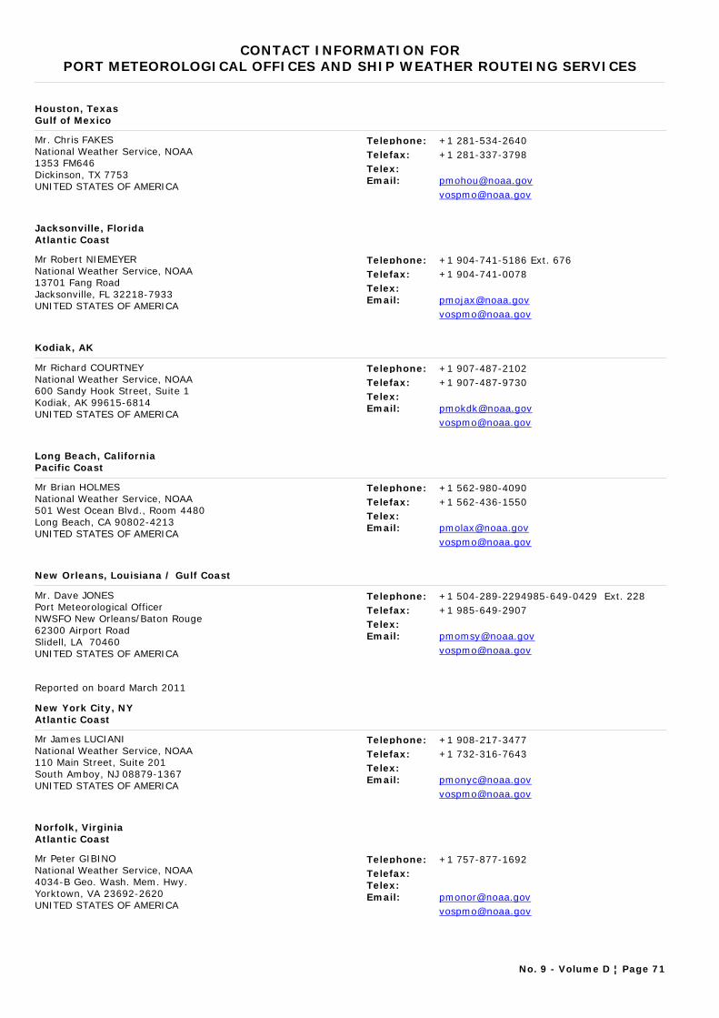
CONTACT INFORMATION FORPORT METEOROLOGICAL OFFICES AND SHIP WEATHER ROUTEING SERVICES
Houston, TexasGulf of Mexico
Mr. Chris FAKESNational Weather Service, NOAA 1353 FM646 Dickinson, TX 7753UNITED STATES OF AMERICA
Telephone: +1 281-534-2640Telefax: +1 281-337-3798Telex:Email: [email protected]
Jacksonville, FloridaAtlantic Coast
Mr Robert NIEMEYERNational Weather Service, NOAA 13701 Fang Road Jacksonville, FL 32218-7933UNITED STATES OF AMERICA
Telephone: +1 904-741-5186 Ext. 676Telefax: +1 904-741-0078Telex:Email: [email protected]
Kodiak, AK
Mr Richard COURTNEY National Weather Service, NOAA 600 Sandy Hook Street, Suite 1 Kodiak, AK 99615-6814UNITED STATES OF AMERICA
Telephone: +1 907-487-2102Telefax: +1 907-487-9730Telex:Email: [email protected]
Long Beach, CaliforniaPacific Coast
Mr Brian HOLMESNational Weather Service, NOAA 501 West Ocean Blvd., Room 4480 Long Beach, CA 90802-4213 UNITED STATES OF AMERICA
Telephone: +1 562-980-4090Telefax: +1 562-436-1550Telex:Email: [email protected]
New Orleans, Louisiana / Gulf Coast
Mr. Dave JONESPort Meteorological Officer NWSFO New Orleans/Baton Rouge 62300 Airport Road Slidell, LA 70460UNITED STATES OF AMERICA
Telephone: +1 504-289-2294985-649-0429 Ext. 228Telefax: +1 985-649-2907Telex:Email: [email protected]
Reported on board March 2011
New York City, NYAtlantic Coast
Mr James LUCIANINational Weather Service, NOAA 110 Main Street, Suite 201 South Amboy, NJ 08879-1367 UNITED STATES OF AMERICA
Telephone: +1 908-217-3477Telefax: +1 732-316-7643Telex:Email: [email protected]
Norfolk, VirginiaAtlantic Coast
Mr Peter GIBINONational Weather Service, NOAA 4034-B Geo. Wash. Mem. Hwy. Yorktown, VA 23692-2620 UNITED STATES OF AMERICA
Telephone: +1 757-877-1692Telefax:Telex:Email: [email protected]
No. 9 - Volume D ¦ Page 71

CONTACT INFORMATION FORPORT METEOROLOGICAL OFFICES AND SHIP WEATHER ROUTEING SERVICES
San Francisco Bay AreaPacific Coast
Mr Daniel CURTIS National Weather Service, NOAA 1301 Clay Street, Suite 1190N Oakland, CA 94612-5217UNITED STATES OF AMERICA
Telephone: +1 510-637-2960Telefax: +1 510-637-2961Telex:Email: [email protected]
Seattle, WashingtonPacific Coast
Mr. Matt THOMPSON National Weather Service, NOAA 7600 Sand Point Way, N.E. BIN C15700 Seattle, WA 98115-6349UNITED STATES OF AMERICA
Telephone: +1 206-526-6100Telefax: +1 206-526-6094Telex:Email: [email protected]
Reported on board December 2010
Valdez, AK
Ms Peggy PERALESOIC / PMO, Valdez, AKNational Weather Service, NOAA Box 427 Valdez, AK 99686-0427UNITED STATES OF AMERICA
Telephone: +1 907-835-4505Telefax: +1 907-835-4598Telex:Email: [email protected]
Weather Routeing Services
ChiefNWS-OM12Marine Services Branch8060 13th StreetSilver SpringMD 20910UNITED STATES OF AMERICA
Telephone: +1 301 4277278Telefax:Telex:Email:
Weather Routeing Services are provided by commercial consultants in the USA. A list of available consultants can be obtained from the address shown above or from PMO in the USA.
No. 9 - Volume D ¦ Page 72