Geographic Information System (GIS) What is GIS? - Connect ...
40
Geographic Information System (GIS) What is GIS?
-
Upload
khangminh22 -
Category
Documents
-
view
0 -
download
0
Transcript of Geographic Information System (GIS) What is GIS? - Connect ...

Geographic Information System (GIS)
What is GIS?

Think About Geography
What is Geography?
• Association of American Geographers’ definition:• Geography is the science of place and space
• Merriam-Webster’s definition:• A science that deals with the description, distribution,
and interaction of the diverse physical, biological, and cultural features of the earth’s surface

Think About Geography
Questions Geographers Ask
• Where is it located?
• Why is it located there?
• How and why are places different?
• How do people interact with their environment?
The answer to these questions is spatial data

History of Cartography
• The First Maps• Rock walls• Clay tablets
• Uses of Maps• Topographic• Celestial• Cosmographic
Picture of a cuneiform tablet from http://www.crystalinks.com/cuneiformtablets.html

Early Maps of the WorldPicture of a T-O map from University of Texas, Foundations of Western European Cartography

Exploring the WorldMercator map picture from Encyclopedia Britannica.

Maps at WarTopographic map picture of Harper’s Ferry from www.DavidRumsey.com.

Linked information reveals patterns…


What is Spatial Data?
Location Data• How Many? – What Kind? – Where?
Scale of Data• Local to Global to Beyond
Data Presentation• Words, Charts, Graphs, Tables, or Maps
Estimates are that 80% of all data has a spatialcomponent• Data from most sciences can be analyzed spatially

A Geographic Information System (GIS) links locational and attribute information and enables a person to visualize patterns, relationships, and trends. This process gives an entirely new perspective to data analysis that cannot be easily seen in a table or list format or on a paper map.
Exploring data using GIS turns data into informationand knowledge
Geographic Information Systems A Definition of GIS

HardwareThe computer, peripherals, and sometimes servers on which the GIS operates
SoftwareProvides the functions and tools required to store, analyze, and display data
DataData is stored as vector, raster, or attribute data
MethodsThe guidelines, specifications, standards, and procedures for collecting and analyzing data and applying GIS
PeopleGIS needs people to ask the questions; choose, collect, and analyze the data; and interpret the results
Five Components of GIS

A Complete GIS
Visualization• GIS as a tool to display spatial
data as a map
Database Management• GIS as a tool to store and
organize spatial data
Spatial Analysis• GIS as a tool to analyze and
interpret spatial data

GIS Combines Spatial Data From Many Sources

Sources of Spatial Data
Digitized and Scanned Maps• Purchased, donated, free (Internet)• Created by user
Databases• Tables of data
GPS• Global Positioning System• Accurate locations
Field Sampling of Attributes
Remote Sensing and Aerial Photography
GIS stores and organizes spatial data in databases

DatabaseNot easy to interpret

VisualizationWorth a Thousand Words

Two Ways to Visualize Data“The World” in GIS
Raster -- Grid• “Pixels”• A location and value• Satellite images and aerial
photos are already in this format
Vector -- Linear• Points, lines, and polygons• “Features” (house, lake,
etc.)• Attributes
• size, type, length, etc.
Real world

Rivers Layer Lakes Layer Capitals Layer
Roads Layer States Layer
Five Data Layers“Alike Features”


Turning Data Into Information
“Spatial Analysis” -- Not Just a Map

Asking a Question -- Interaction

Maps and Databases are Interactive

The Goal of GIS
The goal of GIS is to help people and companies do their workbetter, faster, and cheaper through
Visualization• GIS provides users with quicker, more accurate representations of
spatial data
Database Management• GIS makes it easier to keep the spatial data accurate and up to date
Spatial Analysis• GIS helps users make more informed decisions
*Wherever Spatial Data Analysis Is Needed*

Some Ways GIS is Used
Emergency Services• Fire and Police
Environmental• Monitoring and Modeling
Business• Site Location, Delivery Systems
Industry• Transportation, Communication, Mining, Pipelines,
HealthcareGovernment
• Local, State, Federal, MilitaryEducation
• Research, Teaching Tool, Administration

Defense Management

Real Estate Management
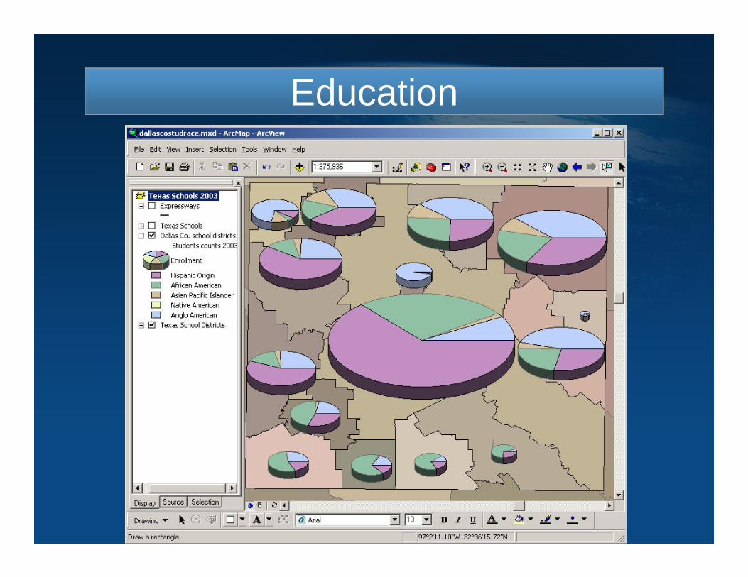
Education

Utility Management

Transportation ManagementTransportation Management

Public Safety

Government

Hospital Facilities

ArcGIS
ArcGIS provides users with a complete GIS• Visualization• Database Management• Spatial Analysis
ArcGIS offers more than just GIS software …. offers GIS solutions.
The goal is to make users more successful

ArcGIS Family of Products

Making GIS Knowledge Available To Anyone . . . . . . Integrates With Other Systems Via Standards
Use
Serve
Author
Web MapViewer
Desktop Explorer
ArcGIS Server
Mobile EnterpriseEnvironment
OpenAPIs
Author/Serve/Use• Maps• Data• Models• Globes• Metadata
ArcGIS Server Platform

NCDOT GIS Standards and Practices
As part of the North Carolina Department of Transportation's efforts to maximize the value of our investment in Geographic Information Systems (GIS),
data management, and access to data, we have developed geospatial standards and practices. The
purpose of these standards and practices is to provide users with necessary information about the data, to
support improved linking of different data sets, and to better manage the Department's GIS investments.
NCDOT IT GIS UNIT