Physical Features of Maps
25
Physical Features of Maps Understand that maps and diagrams can serve as representations of physical features
-
Upload
khangminh22 -
Category
Documents
-
view
1 -
download
0
Transcript of Physical Features of Maps
Physical Features of Maps
Understand that maps and diagrams
can serve as representations of
physical features

Vocabulary
• Plain – A large area of nearly flat land.
• Mountain – A high landform with steep sides;
higher than a hill.
• Plateau – A high, flat area that rises steeply above
the surrounding land.
• Delta – Land made of soil left behind as a river
drains into a larger body of water.

Plain

Mountain

Plateau

Delta

Vocabulary
• Valley – An area of low land between hills and
mountains.
• Island – A body of land completely surrounded
by water.
• Basin – A bowl-shaped landform surrounded by
higher land.
• Peninsula – A body of land surrounded by
water on three sides.

Valley

Island

Basin

Peninsula
Vocabulary
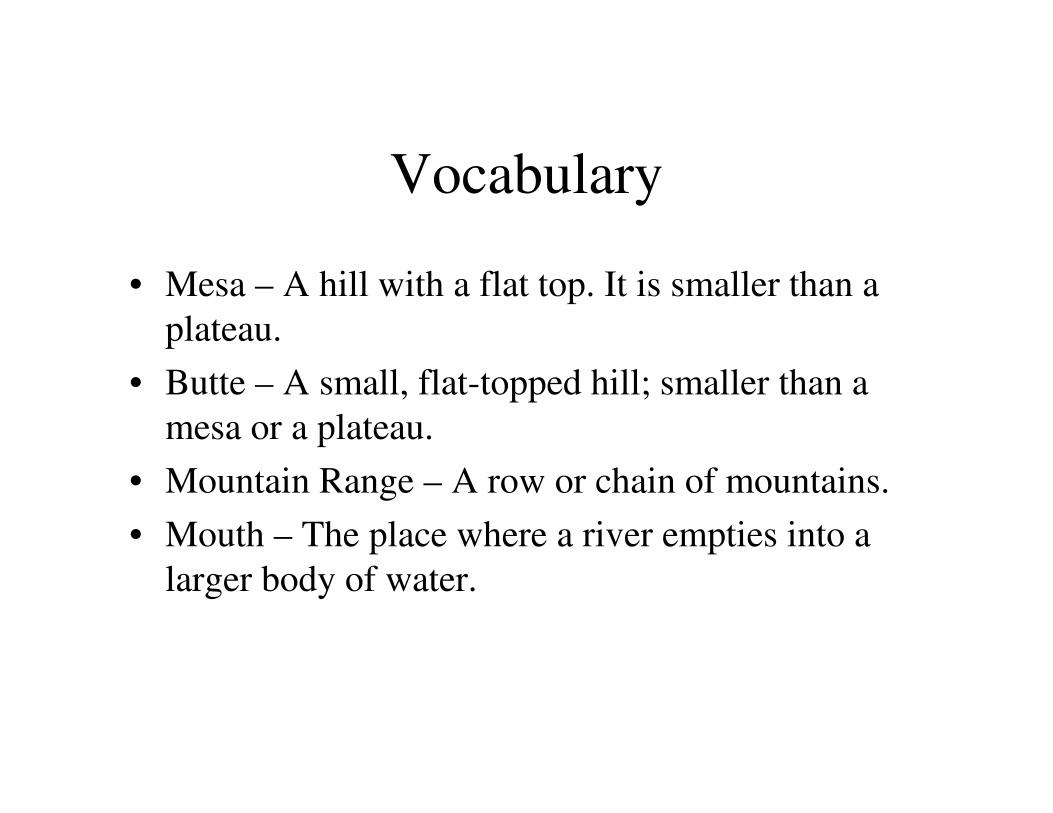
• Mesa – A hill with a flat top. It is smaller than a
plateau.
• Butte – A small, flat-topped hill; smaller than a
mesa or a plateau.
• Mountain Range – A row or chain of mountains.
• Mouth – The place where a river empties into a
larger body of water.

Mesa

Butte

Mountain Range

Mouth

Vocabulary
• Lake – A body of water completely surrounded
by land.
• Hill – A rounded, raised landform; not as high as
a mountain.
• Desert – A dry environment with few plants and
animals.
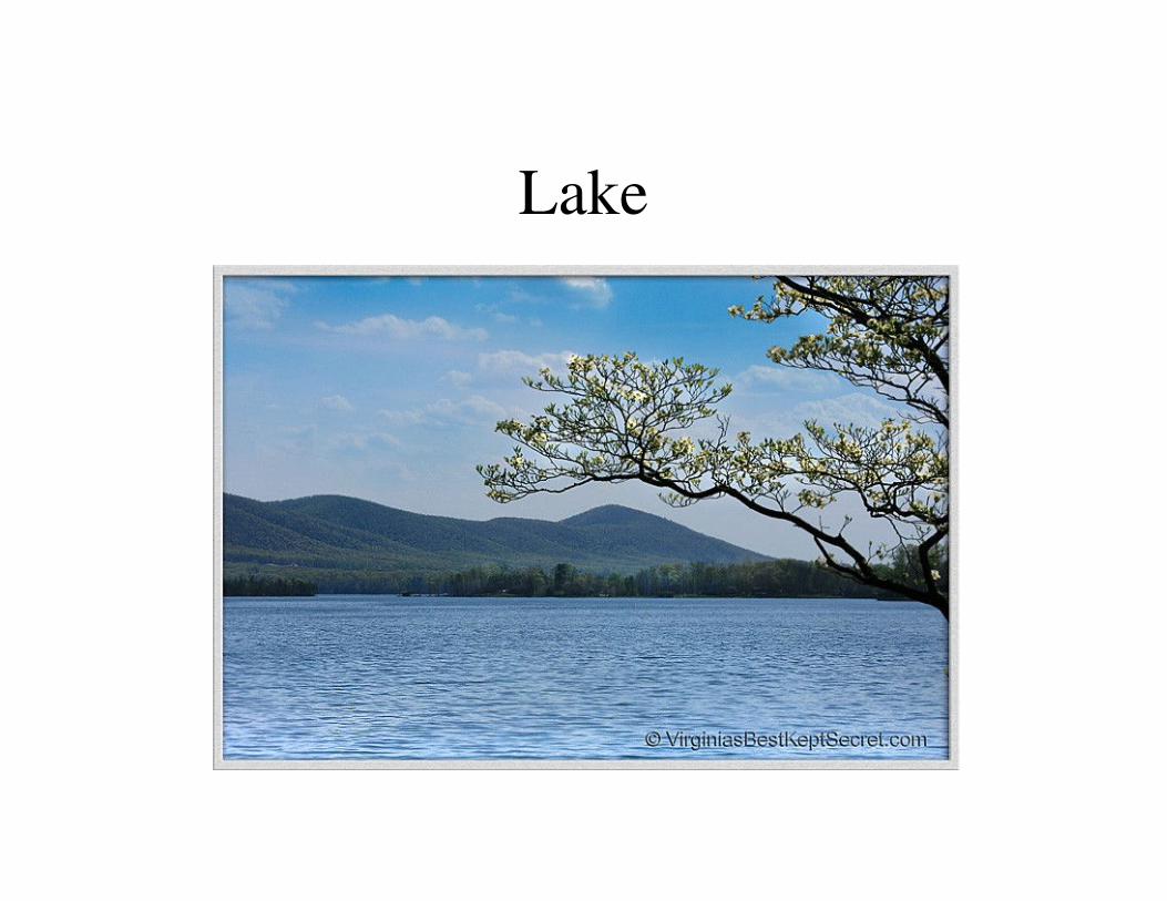
Lake

Hill

Desert
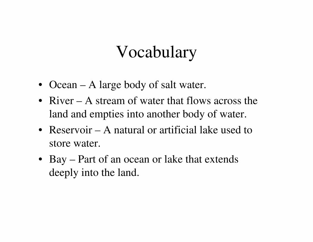
• Ocean – A large body of salt water.
• River – A stream of water that flows across the
land and empties into another body of water.
• Reservoir – A natural or artificial lake used to
store water.
• Bay – Part of an ocean or lake that extends
deeply into the land.
Vocabulary
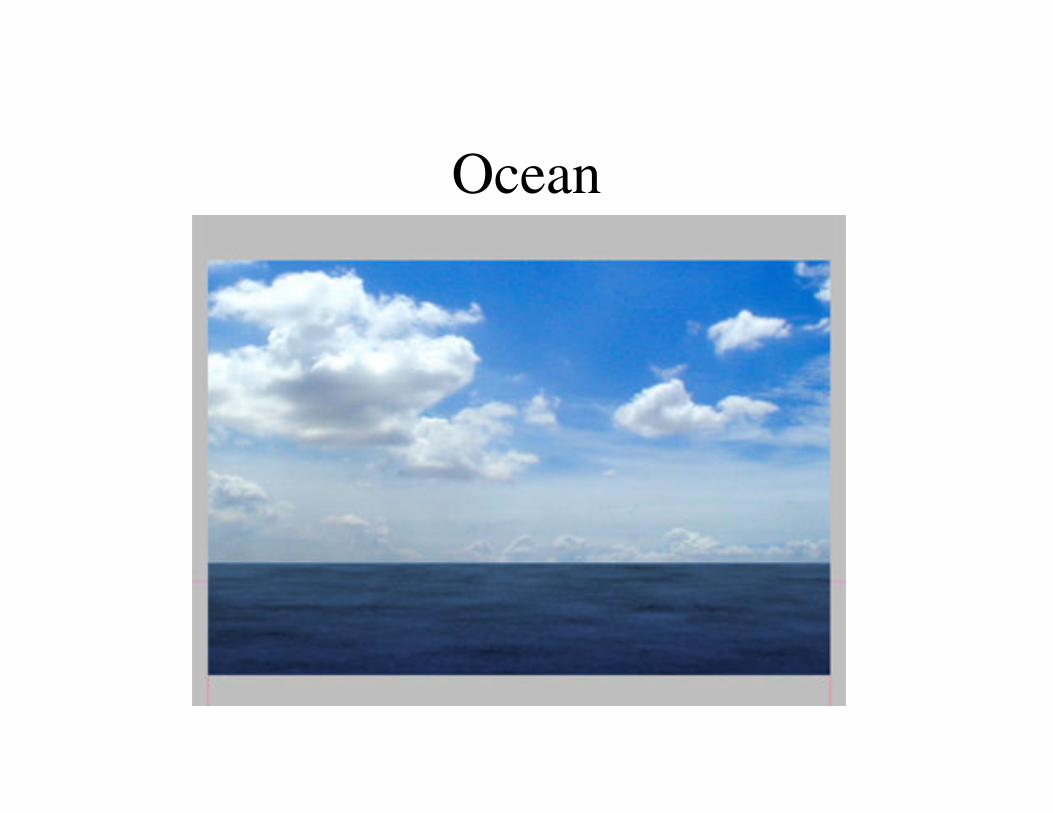
Ocean

River

Reservoir
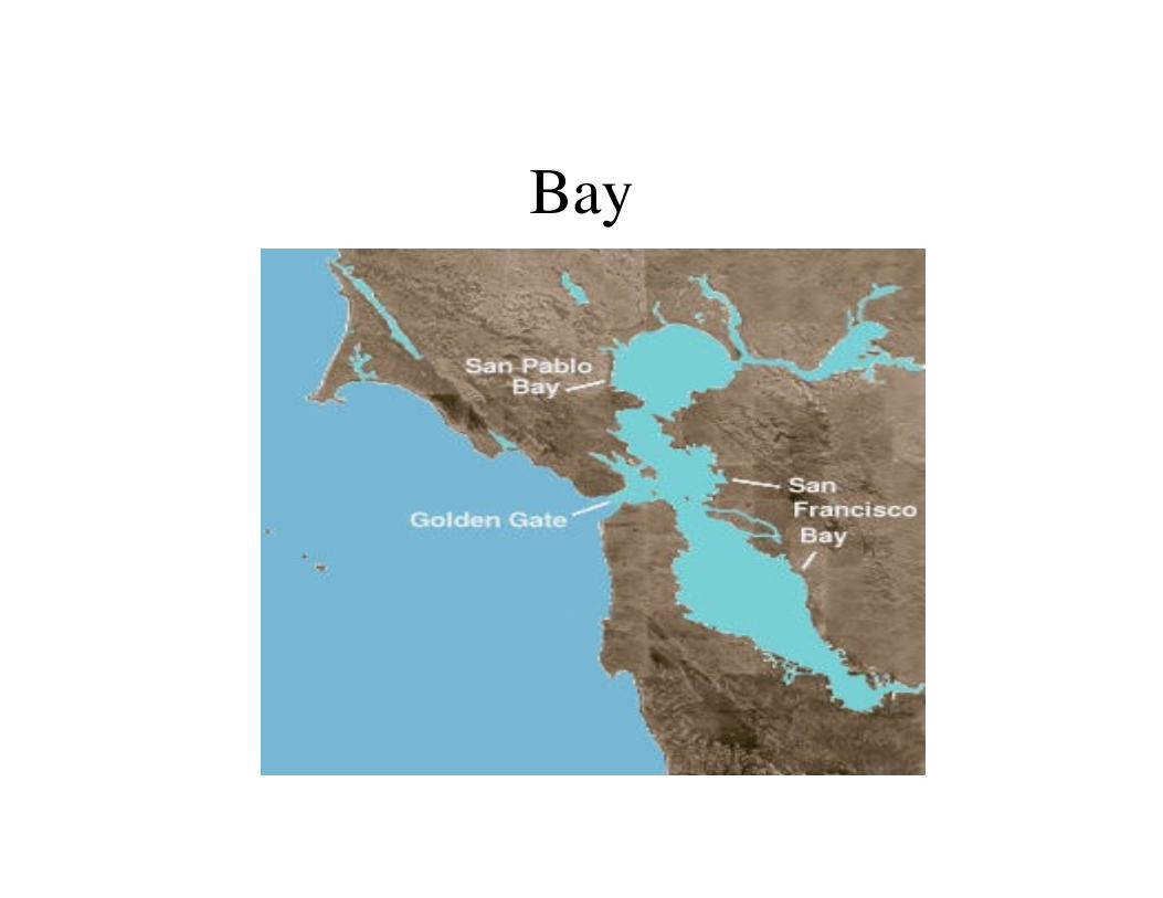
Bay