RAF Bentley Priory, Stanmore, Middlesex - Desk Based Assessment 2007
Upload
khangminh22Category
view
3download
0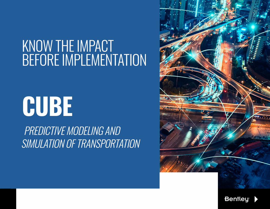
KNOW THE IMPACT BEFORE IMPLEMENTATION
CUBEPREDICTIVE MODELING AND
SIMULATION OF TRANSPORTATION

But how can you make informed decisions without reliable transportation models?
You turn to CUBE, trusted by transportation agencies to know the impact before implementation and make better decisions the first time.
Every day you work with data to
improve the future of transportation
mobility. Your decisions affect
infrastructure, operations, technology,
and people. No Pressure!
AS PLANNERS AND ENGINEERS WE GET IT!

> What if we add a light rail line to our city? Will that ease congestion?
> What if I build a bypass around the City? How will that impact truck traffic in the city?
> What if we build a roundabout versus a four-way intersection? How will that impact traffic?
> What if I raise the bus fare? Will that impact the movement of people around the city?
> What if I added a new interchange to the existing highway? How will that impact the value of the surrounding land?
WHAT IF...YOU COULD ANSWERWHAT-IF QUESTIONS
WITH CUBE YOU CAN!

The ONLY modeling platform that covers all aspects of transportation planning, simulation, and land use.
BUILD & CALIBRATE MODELS OF ANY TYPE WITH CUBE’S OPEN PLATFORM
CUBE VoyagerMacroscopic models to understand large scale personal travel demand.
CUBE AvenueMesoscopic traffic simulation to model the dynamics of congestion throughout the day.
CUBE DynasimMicroscopic traffic simulation to model all aspects of traffic operations and parking.
CUBE CargoModel freight movement throughout a city or region to understand impact on traffic flow.
CUBE LandAssess land-use changes given modifications to a transportation system.
CUBE AccessUnderstand and visualize accessibility in your community.
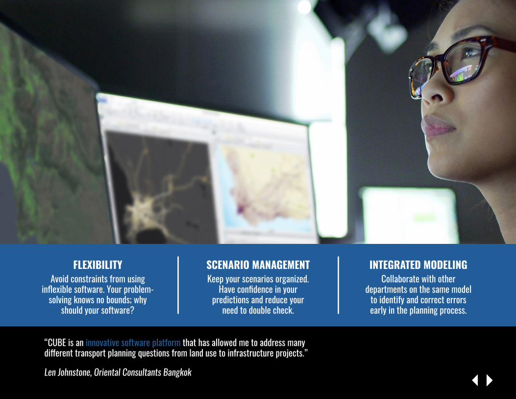
FLEXIBILITYAvoid constraints from using
inflexible software. Your problem-solving knows no bounds; why
should your software?
“CUBE is an innovative software platform that has allowed me to address many different transport planning questions from land use to infrastructure projects.”
Len Johnstone, Oriental Consultants Bangkok
SCENARIO MANAGEMENTKeep your scenarios organized.
Have confidence in your predictions and reduce your
need to double check.
INTEGRATED MODELINGCollaborate with other
departments on the same model to identify and correct errors early in the planning process.

> WHAT IT IS CUBE Voyager is a flexible, macroscopic solution to meet your long-term transportation planning needs around
the movement of people and vehicles.
> WHAT IT DOES CUBE Voyager allows you to produce a digital replica of your transportation system today, predict the status of it tomorrow, and guide you to get the best performance for your projects.
> BENEFITS Test and optimize improvements collaboratively before they are built and pitch your business case with confidence.
CUBE Voyager

> WHAT IT IS CUBE Avenue, an extension to CUBE Voyager, is the mesoscopic, or “in-between,” view that allows you to model and simulate corridor-level projects
based on maximum highway capacities.
> WHAT IT DOES CUBE Avenue applies dynamic traffic assignment methods to understand how traffic varies by time of day and at a higher resolution than what is possible in macroscopic models.
> BENEFITS Gain confidence when CUBE Avenue gives you a clearer picture of delays and performance of operational improvements before implementation.
CUBE Avenue

> WHAT IT IS CUBE Dynasim is there to help you recreate what you see on the street; it is the most accurate method for simulating every detail
of multimodal operations.
> WHAT IT DOES CUBE Dynasim realistically emulates the flows and interactions of the complete street including all types of transportation modes, including cars, trucks, buses, rail vehicles, cyclists, and pedestrians.
> BENEFITS Quickly test changes and watch in 3D animations to identify the most effective ways to reduce congestion and delays as well as improve safety in your community.
CUBE Dynasim

> WHAT IT IS CUBE Cargo offers freight-specific capabilities to represent multiple commodity groups and logistical nodes where transport
mode or the type of vehicle might change.
> WHAT IT DOES CUBE Cargo models freight movement throughout a city or region to understand the impacts of commodity flows and influence decisions on future infrastructure changes.
> BENEFITS Understand and optimize freight movements, improve policy decisions, and reduce congestion to improve overall movement within your area.
CUBE Cargo

> WHAT IT IS CUBE Land is an econometric land-use allocation model that brings realistic land-transport interactions into the
modeling process.
> WHAT IT DOES CUBE Land forecasts land use by simulating the real estate market under different economic conditions, changes to the transport system, and land use externalities.
> BENEFITS Forecast changes to land use and value to focus development within corridors. Use CUBE Land with your transport model for a true land use and transport interaction (LUTI) simulation.
CUBE Land

> WHAT IT IS CUBE Access calculates multimodal accessibility to employment opportunities, daily errands, and public services to evaluate proposed improvements to the
transport system and built environment.
> WHAT IT DOES CUBE Access applies true multimodal path building to provide the full accessibility picture utilizing scores and accurate travel time instead of making assumptions with traditional data.
> BENEFITS Identify gaps in livability and inform community planners and leaders on how to address those gaps. With scenario testing, you can prioritize your projects to optimize your capital investment program and development policies.
CUBE Access

CUBE CAPABILITIES AT A GLANCE
VOYAGER AVENUE DYNASIM CARGO LAND ACCESS> Multimodal
> GIS-based maps
> Parallel processing
> Multiscale
> Graphical model process
> Unlimited scenario testing
> Export common formats
> Trip, Tour, or Activity-based methodologies
> Powerful matrix estimation
> Third-party application support
> Seamless integration with Voyager
> Dynamic traffic loading
> Travel time, junction delay
> Queue times and length
> Grading
> Stand alone or hybrid
> 2D simulation
> Test peak spreading
> True impact of individual vehicle decisions
> 3D and 2D simulations
> Parking-specific module
> Unique option handling tool to reduce coding
> Unlimited range of vehicles
> User-defined behaviors
> Sockets for external applications
> Commodity based, not just truck based
> Test policies and infrastructure improvements
> Unlimited commodity segmentation
> Multilevel or zoning hierarchy
> Highly integrated with Voyager
> Highly integrated with Voyager
> Stand alone or full LUTI
> High flexibility
> Clear and tidy file management
> Uses economic principles
> Allows for bounded or constrained assumptions
> Multimodal
> Default and modifiable scoring system
> GIS based with editing tools
> Clear and easy scenario management
> No scripting
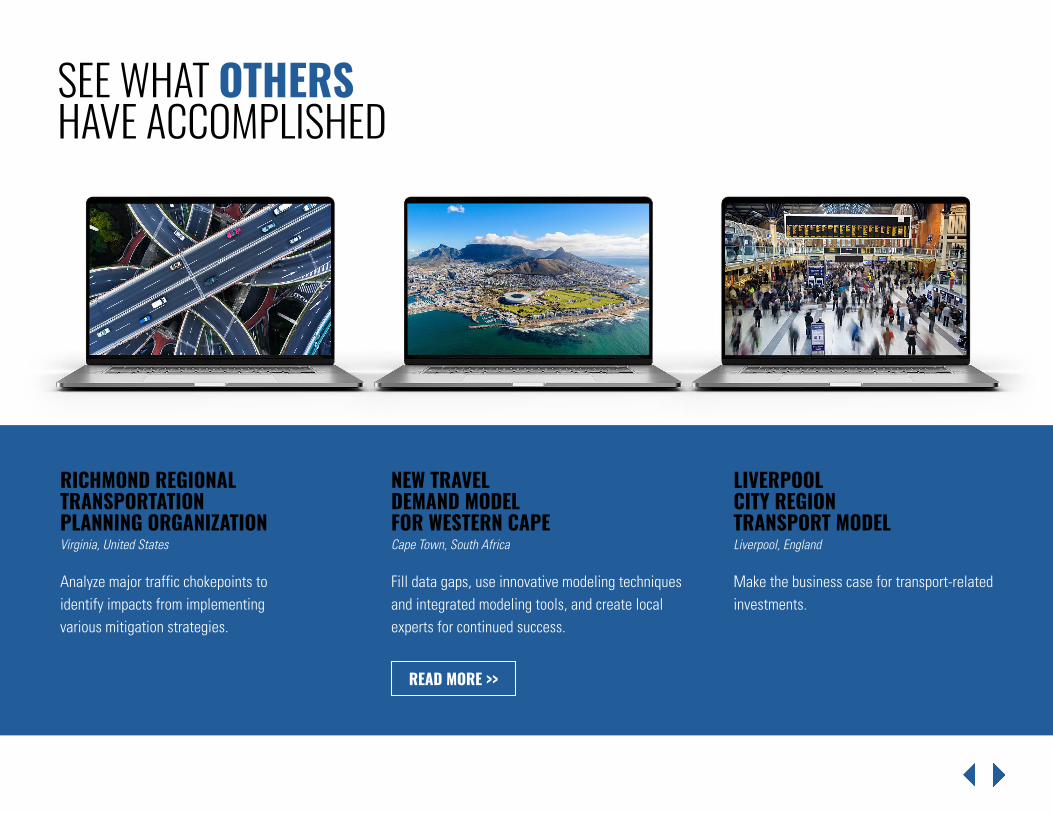
SEE WHAT OTHERS HAVE ACCOMPLISHED
Analyze major traffic chokepoints to identify impacts from implementing various mitigation strategies.
Fill data gaps, use innovative modeling techniques and integrated modeling tools, and create local experts for continued success.
Make the business case for transport-related investments.
RICHMOND REGIONAL TRANSPORTATION PLANNING ORGANIZATIONVirginia, United States
NEW TRAVEL DEMAND MODEL FOR WESTERN CAPECape Town, South Africa
LIVERPOOL CITY REGION TRANSPORT MODELLiverpool, England
READ MORE >>
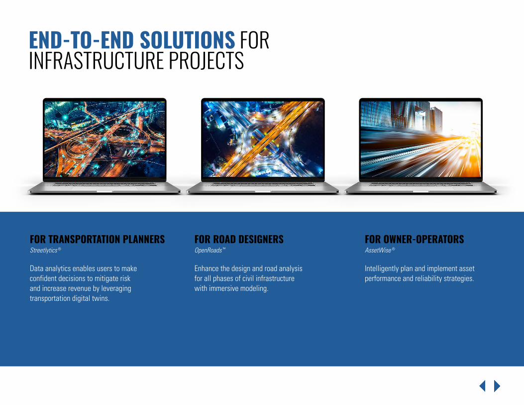
Data analytics enables users to make confident decisions to mitigate risk and increase revenue by leveraging transportation digital twins.
Intelligently plan and implement asset performance and reliability strategies.
END-TO-END SOLUTIONS FOR INFRASTRUCTURE PROJECTS
FOR TRANSPORTATION PLANNERSStreetlytics ®
FOR OWNER-OPERATORSAssetWise ®
Enhance the design and road analysis for all phases of civil infrastructure with immersive modeling.
FOR ROAD DESIGNERSOpenRoads ™
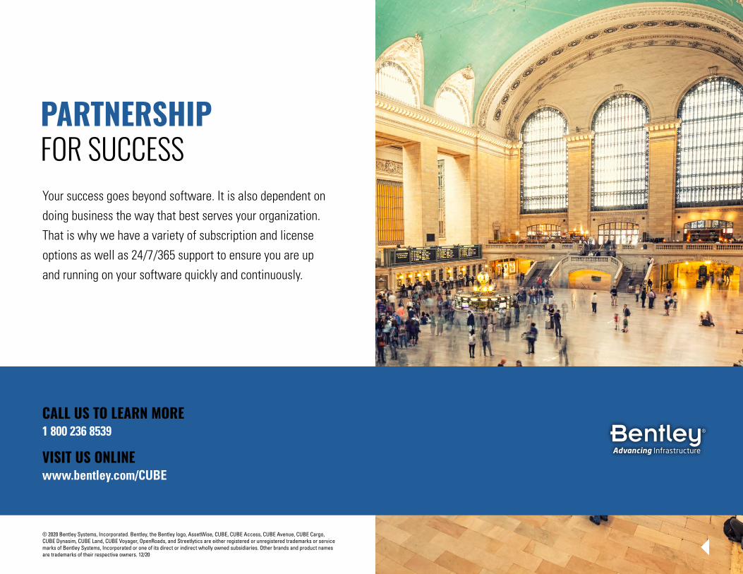
Your success goes beyond software. It is also dependent on doing business the way that best serves your organization. That is why we have a variety of subscription and license options as well as 24/7/365 support to ensure you are up and running on your software quickly and continuously.
PARTNERSHIPFOR SUCCESS
© 2020 Bentley Systems, Incorporated. Bentley, the Bentley logo, AssetWise, CUBE, CUBE Access, CUBE Avenue, CUBE Cargo, CUBE Dynasim, CUBE Land, CUBE Voyager, OpenRoads, and Streetlytics are either registered or unregistered trademarks or service marks of Bentley Systems, Incorporated or one of its direct or indirect wholly owned subsidiaries. Other brands and product names are trademarks of their respective owners. 12/20
CALL US TO LEARN MORE1 800 236 8539
VISIT US ONLINEwww.bentley.com/CUBE
Copyright © 2022 FDOKUMEN