Nevada Statewide Golden Eagle Nest Site Survey Project
15
Nevada Statewide Golden Eagle Nest Site Survey Project Great Basin Bird Observatory, Nevada Department of Wildlife, and U.S. Bureau of Land Management Nevada State Office
-
Upload
khangminh22 -
Category
Documents
-
view
3 -
download
0
Transcript of Nevada Statewide Golden Eagle Nest Site Survey Project
Nevada Statewide Golden Eagle Nest Site Survey Project
Great Basin Bird Observatory, Nevada Department of Wildlife, and U.S. Bureau of Land Management Nevada State Office
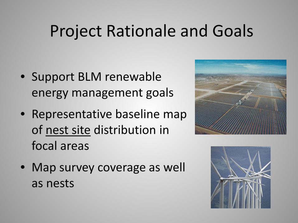
Project Rationale and Goals
• Support BLM renewable energy management goals
• Representative baseline map of nest site distribution in focal areas
• Map survey coverage as well as nests
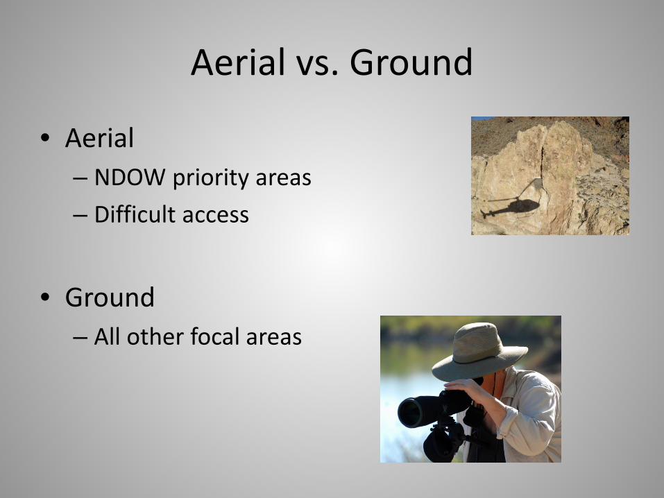
Aerial vs. Ground
• Aerial – NDOW priority areas – Difficult access
• Ground
– All other focal areas

Surveyed Areas
11.9 million acres by ground, 2.2 million acres by air
> 70% of higher priority land area and focal areas

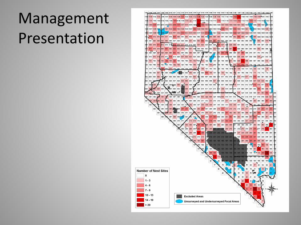
Remaining Focal Areas
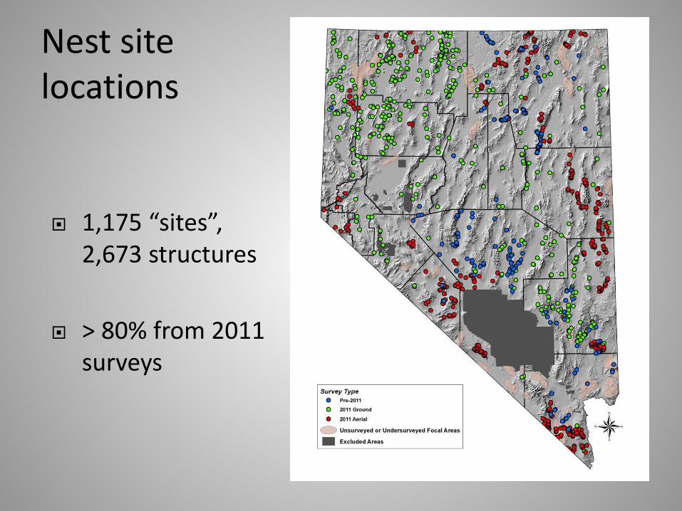
Nest site locations
1,175 “sites”, 2,673 structures
> 80% from 2011 surveys
Management Presentation
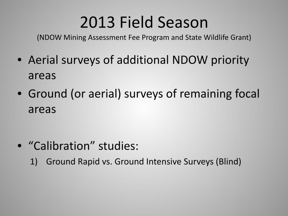
2013 Field Season (NDOW Mining Assessment Fee Program and State Wildlife Grant)
• Aerial surveys of additional NDOW priority areas
• Ground (or aerial) surveys of remaining focal areas
• “Calibration” studies: 1) Ground Rapid vs. Ground Intensive Surveys (Blind)
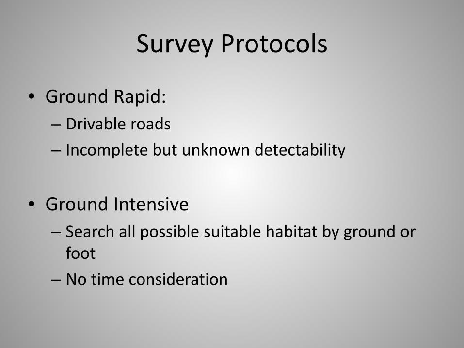
Survey Protocols
• Ground Rapid: – Drivable roads – Incomplete but unknown detectability
• Ground Intensive – Search all possible suitable habitat by ground or
foot – No time consideration

2013 Field Season
• Aerial surveys of additional NDOW priority areas
• Ground (or aerial) surveys of remaining focal areas
• “Calibration” studies for: 1) Ground Rapid vs. Ground Intensive Surveys (Blind) 2) Aerial vs. Ground Intensive (Blind) 3) Aerial vs. Rapid Ground (Opportunistic) 4) Nest Occupancy (intensive revisits)

Data Collected in 2013 (Analysis IP)
• NDOW aerial surveys • 18 of 26 remaining focal areas by ground, some
additional by aerial • Ground Intensives
– Aerial comparison sites: Double H Mts., Montana Mts., Humboldt Mts., Granite Range, Egan Range
– Ground rapid comparison sites: Stillwater Range, Osgood Mts., N. Esmeralda Hills (several sites)
• Areas with revisits: portions of Stillwater Range, Osgood Mts., N. Esmeralda Hills, Granite Range, Double H Mts., Montana Mts., and focal area 26

Aerial vs. Ground Intensive Preliminary Comparison: Granite Range
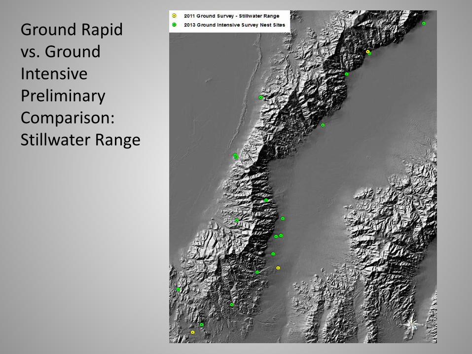
Ground Rapid vs. Ground Intensive Preliminary Comparison: Stillwater Range
Data Requests PLSS vs. UTMs Requests to:
Chet VanDellen, NDOW [email protected]
Cris Tomlinson, NDOW [email protected]
Anticipated 2013 Data Analysis Completion: March 2014

Thanks to • GBBO
– Murrelet Halterman – Nick Roger – Katie Fellows – Bruce Casler – Ralph Phenix
• NDOW – Cris Tomlinson – Christy Klinger – Brad Bauman – Rory Lamp – Teri Slatauski – Pete Bradely – Dave Catalano
• BLM and FWS – Sandra Brewer – Steve Abele
FUNDING BLM Nevada State Office NDOW Mining
Assessment Fee Program and State Wildlife Grants