Maps in Books: Images, Texts and Material Objects
11
Maps in books: images, texts and material objects Carla Lois Instituto de Geografía, Universidad de Buenos Aires Kenyon College, Fulbright Visiting Scholar January 2014
Transcript of Maps in Books: Images, Texts and Material Objects
Maps in books: images, texts and material
objects
Carla LoisInstituto de Geografía, Universidad de Buenos
AiresKenyon College, Fulbright Visiting Scholar
January 2014
Why is it relevant to discuss “maps in books”?
1. General discussion of recent research on the relationship between image and word.
2. The interpretation of maps requires them to be reinserted not only within their social and political context, but also within their material context as images that formed and form parts of larger wholes.
3. New approaches: interesting challenges suggested by this topic in order to encourage some collective reflections on it.
[Table of contents of the presentation]
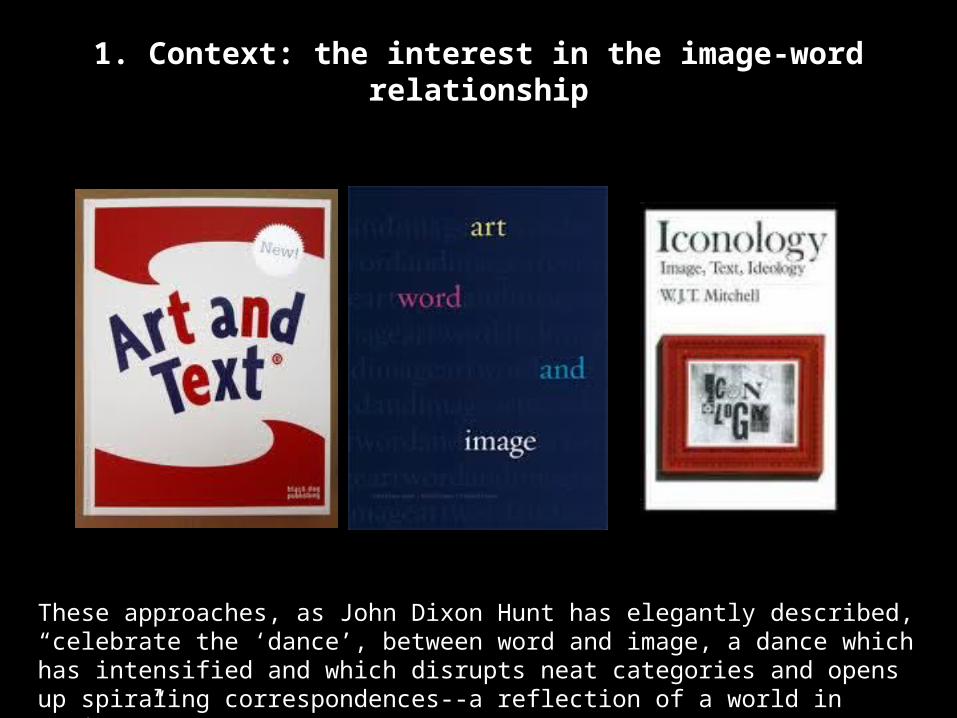
1. Context: the interest in the image-word relationship
These approaches, as John Dixon Hunt has elegantly described, “celebrate the ‘dance’, between word and image, a dance which has intensified and which disrupts neat categories and opens up spiraling correspondences--a reflection of a world in motion.”

• Avoiding inherited binary oppositions?
Word ImageLanguage PictureLanguage ArtVerbal VisualPoesis Picturainscriptio FiguraDenotative ConnotativeCode Uncode
imageNarrable Inennarrrab
leWritten text Depictive
textWriting PaintingDicursive field
Figural field
Discours FigureSaying ShowingMeaning BeingProposition “silence”Propositional nonproposit
ional
Source: James Elkins, The Domain of Images
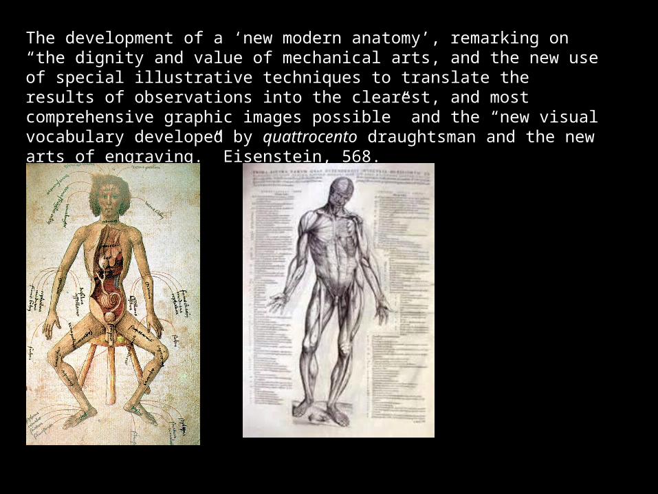
The development of a ‘new modern anatomy’, remarking on “the dignity and value of mechanical arts, and the new use of special illustrative techniques to translate the results of observations into the clearest, and most comprehensive graphic images possible” and the “new visual vocabulary developed by quattrocento draughtsman and the new arts of engraving.” Eisenstein, 568.
- Do images (maps) and texts have the same status in the book (size, quantity of pages, role in the main argument, etc.)?
- How is the viewer or reader expected to communicate each of them (aesthetically, or analytically?)
- Do images (maps) and text mutually support each other?
- How do this affect the content of the book, its currency, its market price, and the need for re-editions?
- Are their statements coherent, contradictory, independent of each other, or indifferent to each other?
Maps in Books: exploring the relationship between image and word

2. Maps: looking for the place of a (dis)located image
• Tendency to isolate images:
-images removed from their original books
-“the visual” overvalued
-digital access to isolated images
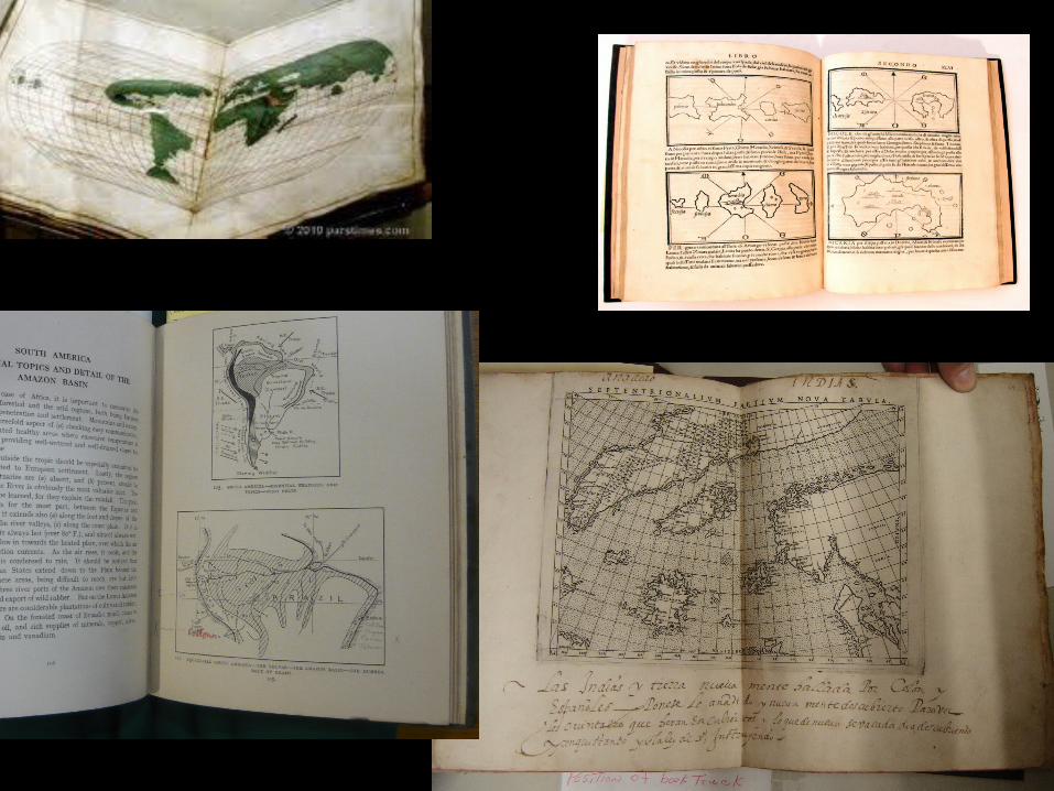
• Why to relocate images into the books?- By reinserting the map into the book we can attain a better understanding both of the map and of the content of the book, as well was of the impact of the map on culture and society, taking into account the book circulation. This will allow us, for instance, to rethink the generalization, the exceptionality or the elitist or the marginal impact of certain images of the world usually very quickly inferred from maps analyzed in isolation.
- By considering maps in books we can imagine readers and reading practices in order to reach a new understanding of map consumption and how they were interpreted by their contemporaries.

3. Challenges: new queries, new paths* Despite the increasing interest in images and visual devices in almost all fields of the humanities, and despite the strong autonomy of the history of the book as a transdisciplinary field, the intersection of both is almost a desert. This project should contribute to a new appreciation of the importance of analyzing the place of illustrations (and specifically, maps) in the history of the book.* Rethinking the impact of the material conditions of the map (and its book) on its reception might shed new light on the interpretation of maps. Instead of separating the technical history of maps and map-making from the cultural and geographical meaning of maps, habits of reading and the commercial market, putting the map back into the book where it circulated (printed, reprinted, modified, updated, re-titled, redrawn) would allow us to clarify the way a map makes sense for a contemporary reader and to avoid anachronistic views. How do the different uses of a map in a book create different senses and meanings?* As a “map” is not a monolithic objet possible of being conceptualized in singular by a universal category or statement, recognizing the different kinds of maps we find in books might lead us to accept this intrinsic plurality and inspire some ways of conceptualizing it. By considering specific maps in specific books, we will be able to inquire into possible categories for maps according to different book genre (cosmographies, travel accounts, literature, etc.) and, in any single genre, over time. How do different book genres promote/require different kind of maps?* These considerations might offer new insights to reflect on the criteria used in compiling carto-bibliographies and in map cataloguing.