
Filling the Data Gap - OpenStreetMap Wiki
19
Naveen Francis Volunteer - Openstreetmap Volunteer - English Wikipedia,Wikidata @naveenpf Filling the Data Gap
-
Upload
khangminh22 -
Category
Documents
-
view
0 -
download
0
Transcript of Filling the Data Gap - OpenStreetMap Wiki
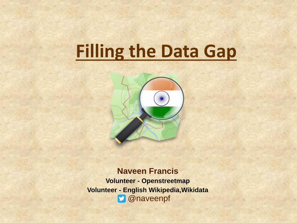
Naveen FrancisVolunteer - Openstreetmap
Volunteer - English Wikipedia,Wikidata
@naveenpf
Filling the Data Gap
In India, a death occurs every 3.5 minutes due to road
accidents
By 2020, halve the number of global deaths and injuries from road traffic accidents.
GOAL 3. Target 3.6
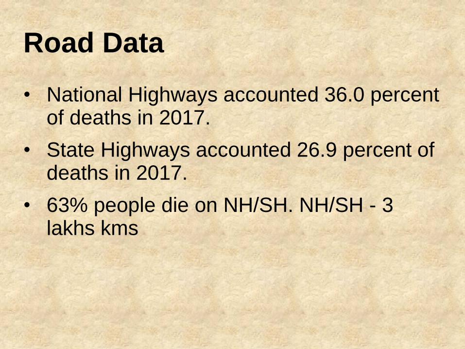
Road Data
• National Highways accounted 36.0 percent of deaths in 2017.
• State Highways accounted 26.9 percent of deaths in 2017.
• 63% people die on NH/SH. NH/SH - 3 lakhs kms
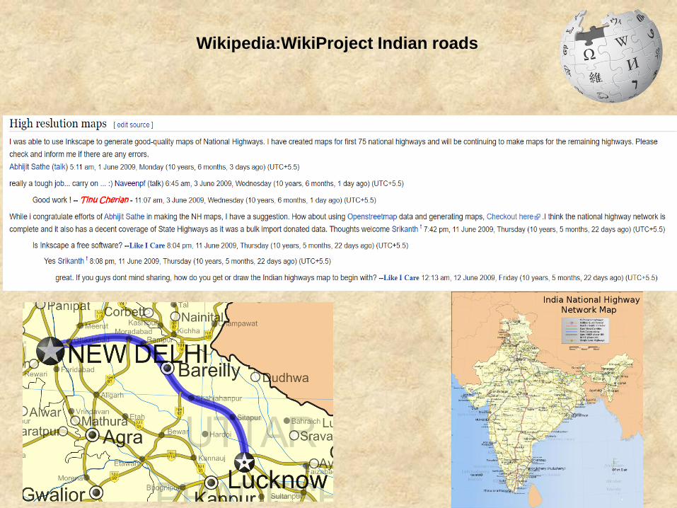
Wikipedia:WikiProject Indian roads
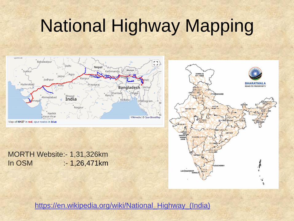
National Highway Mapping
https://en.wikipedia.org/wiki/National_Highway_(India)
MORTH Website:- 1,31,326km
In OSM :- 1,26,471km
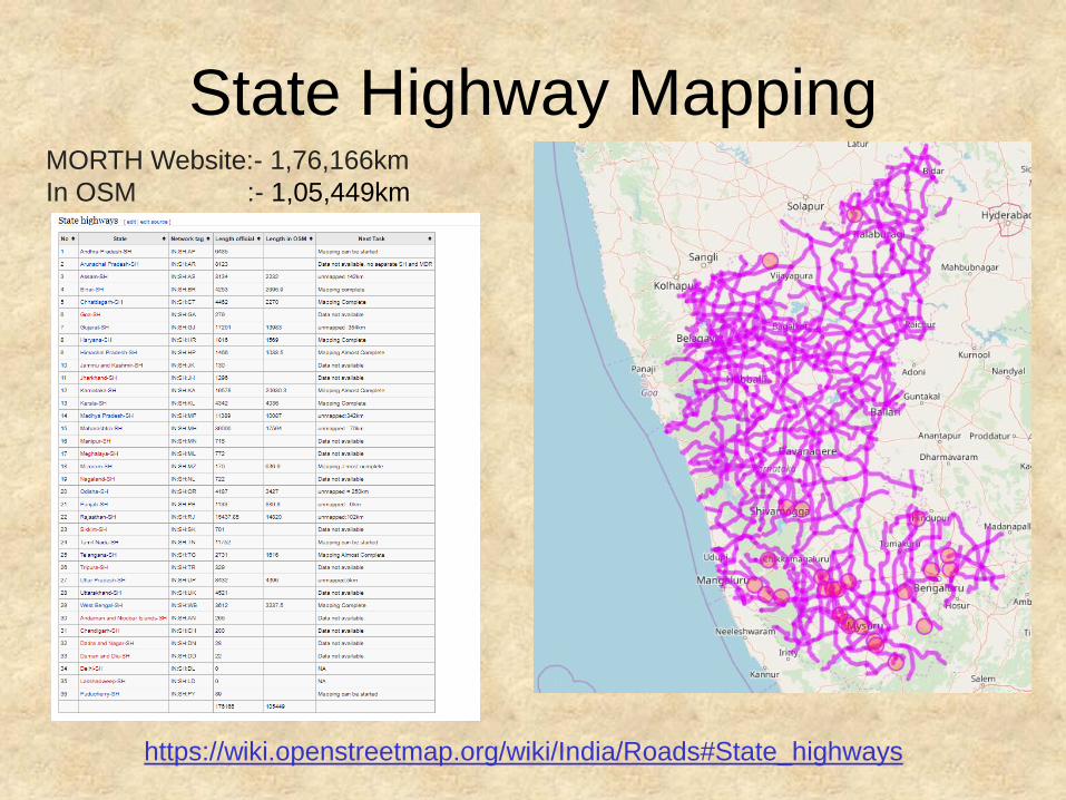
State Highway Mapping
https://wiki.openstreetmap.org/wiki/India/Roads#State_highways
MORTH Website:- 1,76,166km
In OSM :- 1,05,449km
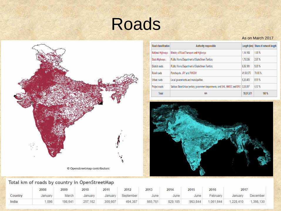
RoadsAs on March 2017
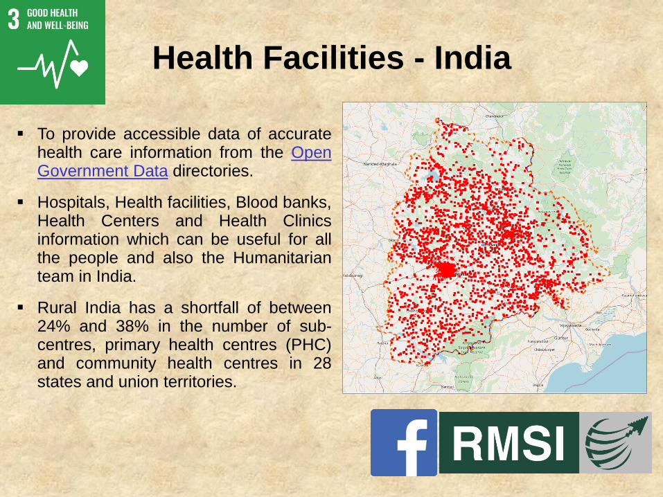
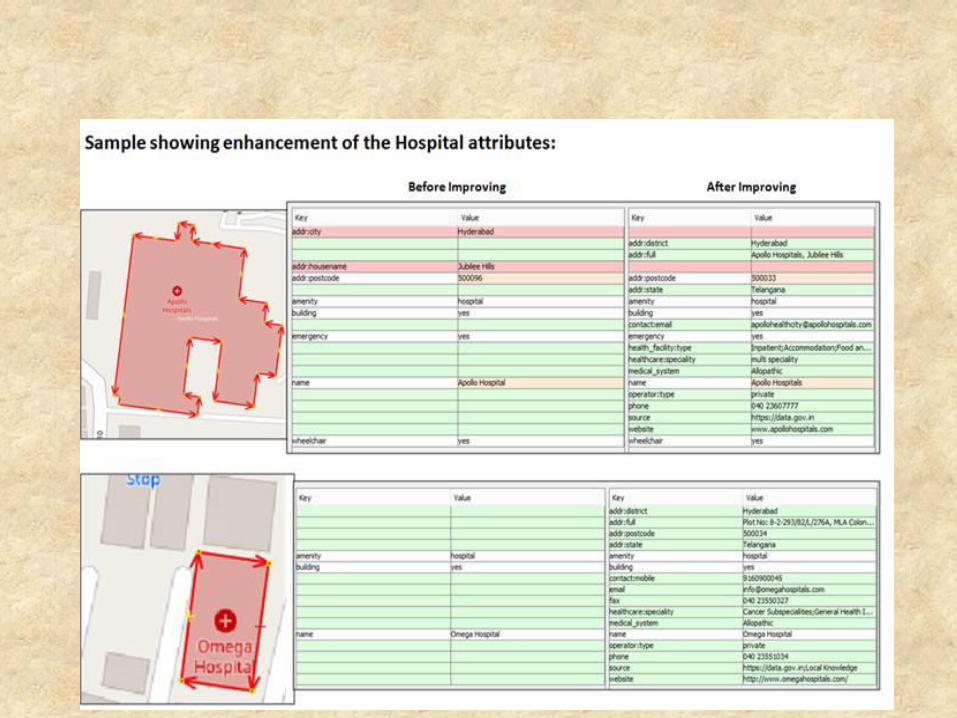
Health Facilities - India
▪ To provide accessible data of accuratehealth care information from the OpenGovernment Data directories.
▪ Hospitals, Health facilities, Blood banks,Health Centers and Health Clinicsinformation which can be useful for allthe people and also the Humanitarianteam in India.
▪ Rural India has a shortfall of between24% and 38% in the number of sub-centres, primary health centres (PHC)and community health centres in 28states and union territories.
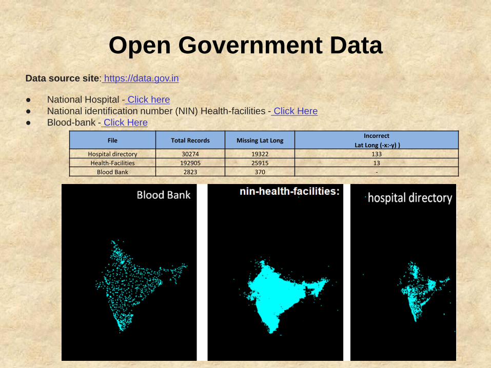
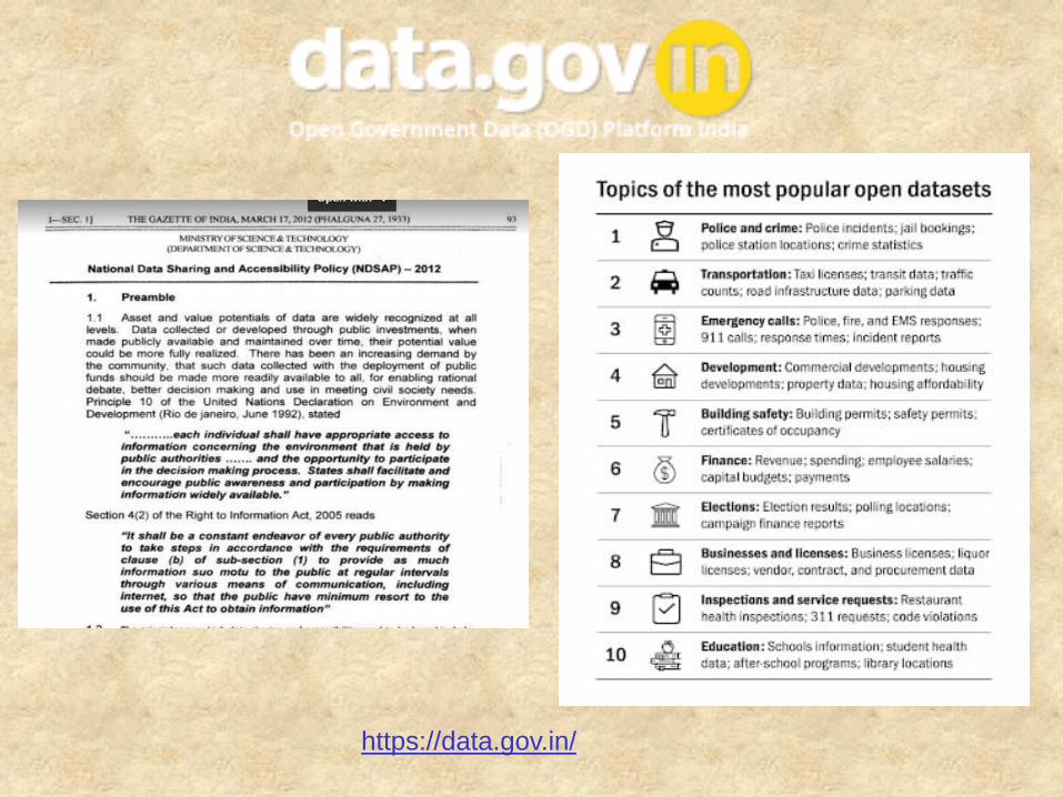
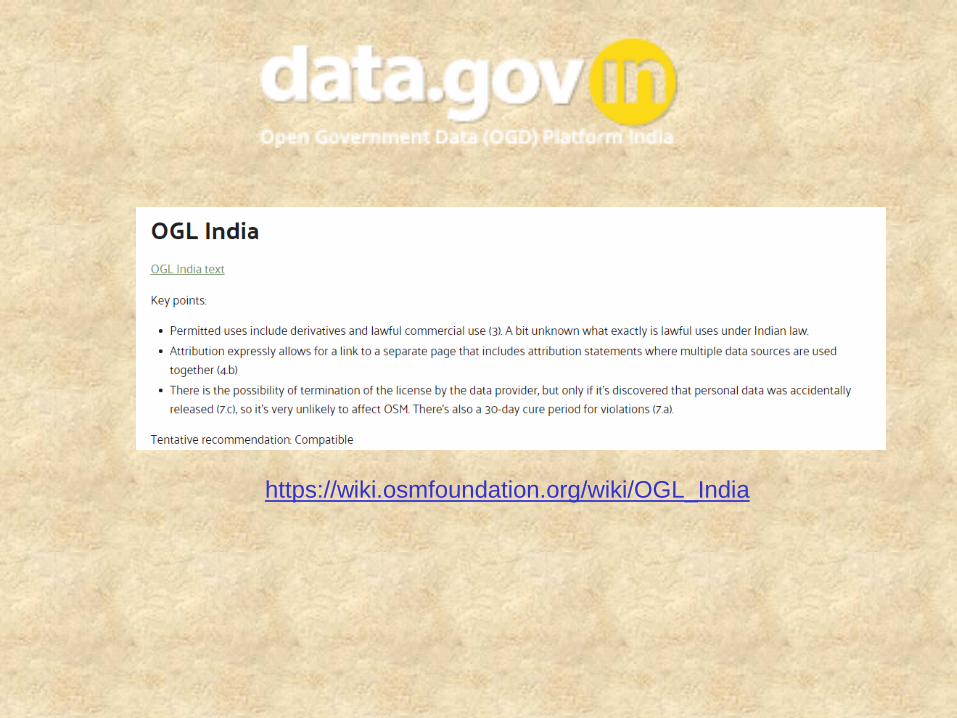
Open Government Data
File Total Records Missing Lat LongIncorrect
Lat Long (-x:-y) )
Hospital directory 30274 19322 133
Health-Facilities 192905 25915 13
Blood Bank 2823 370 -
Data source site: https://data.gov.in
● National Hospital - Click here
● National identification number (NIN) Health-facilities - Click Here
● Blood-bank - Click Here
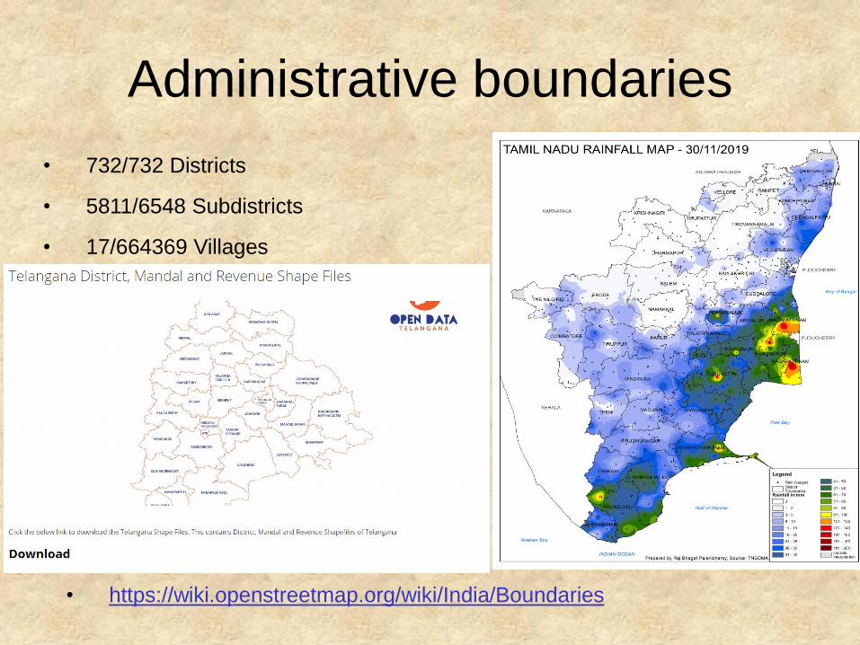
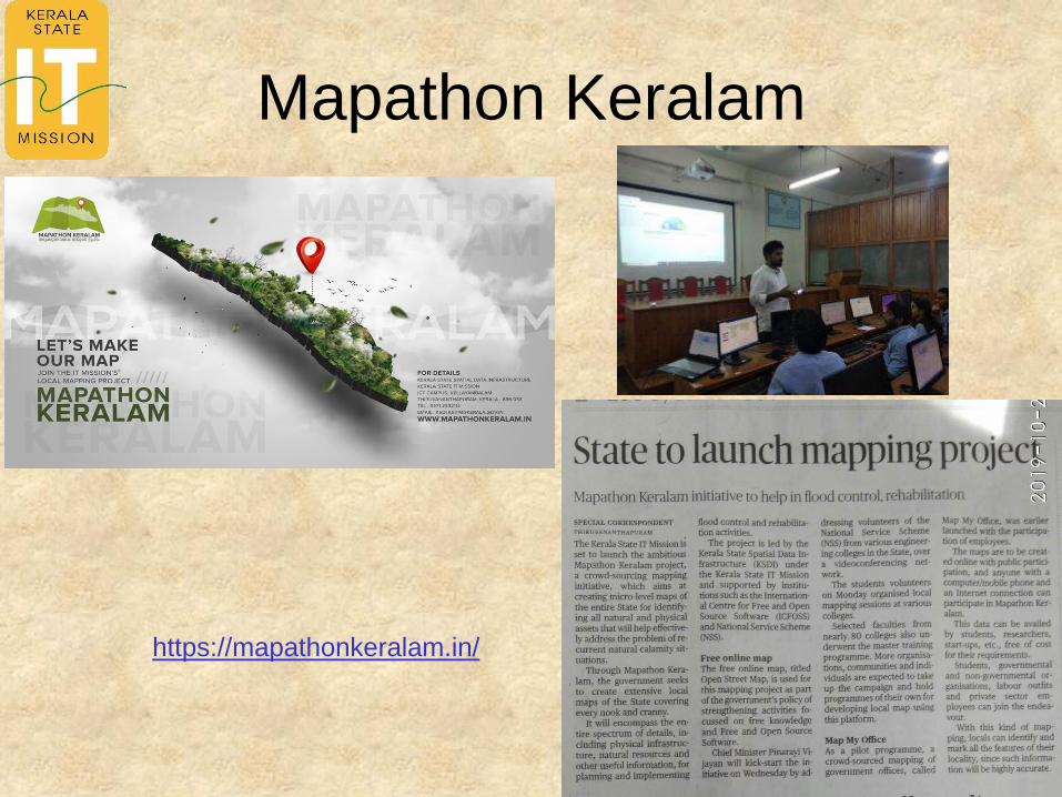
Administrative boundaries
• 732/732 Districts
• 5811/6548 Subdistricts
• 17/664369 Villages
• https://wiki.openstreetmap.org/wiki/India/Boundaries
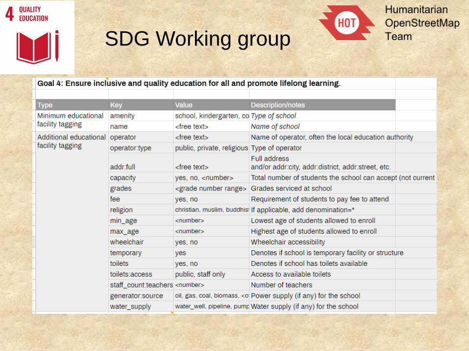
SDG Working group
Companies working from India on OSM
OSM India
Website:- http://openstreetmap.in
Facebook:- OSM India Facebook group
Telegram:- https://t.me/OSMIndia
Twitter:- https://twitter.com/osm_in
Forum:- Indian OpenStreetMap Forum
Github:- https://github.com/osm-in
Public Mailing List:- https://lists.openstreetmap.org/pipermail/talk-in/
Thank you
Together we can…
Open Mapping for the SDGsOpen Mapping for the SDGs
• http://www.data4sdgs.org/resources/open-mapping-sdgs
• https://hotosm.github.io/gpsdd-documentation/