Bahasa
Halaman
Hukum

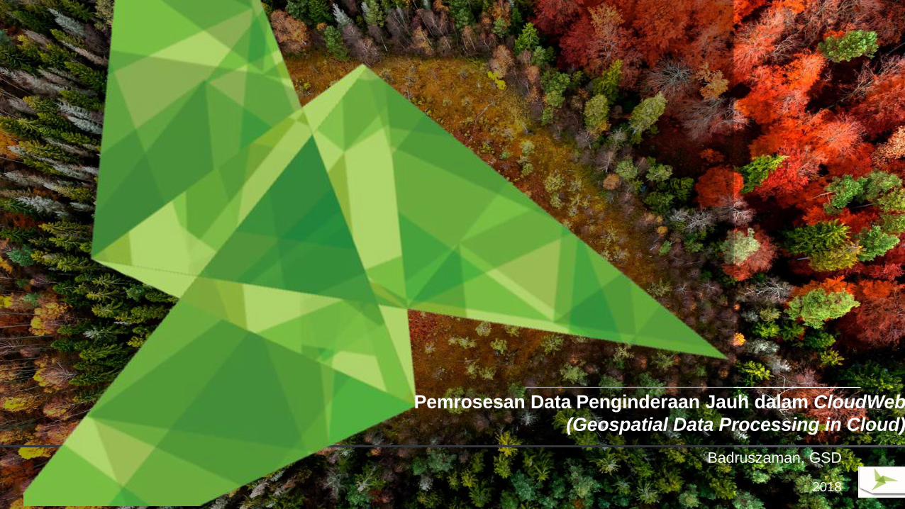
Badruszaman, GSD
2018
Pemrosesan Data Penginderaan Jauh dalam CloudWeb
(Geospatial Data Processing in Cloud)
Confidential2
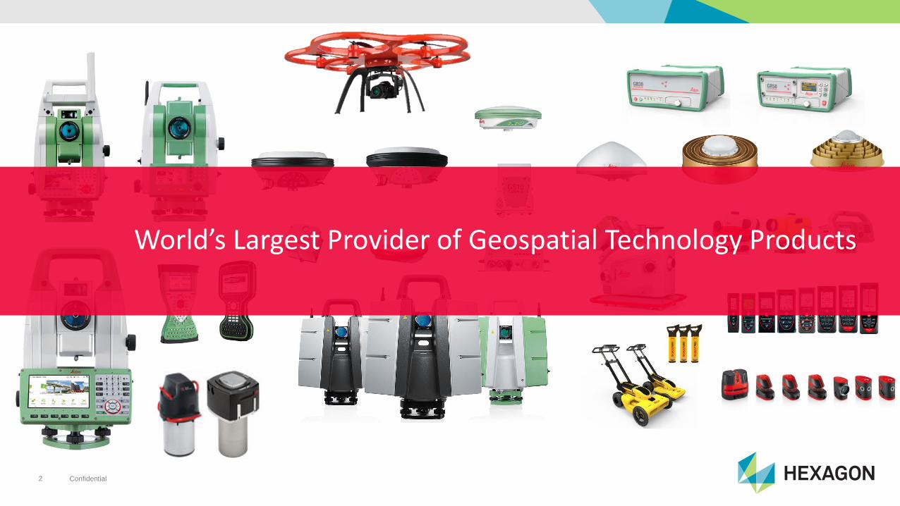
World’s Largest Provider of Geospatial Technology Products
Confidential3
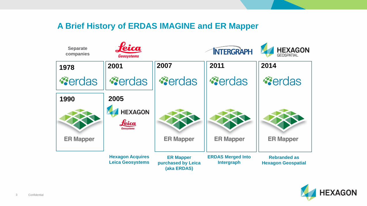
Separate
companies
1978
1990
2001 2007
ER Mapper
purchased by Leica
(aka ERDAS)
Hexagon Acquires
Leica Geosystems
2005
2011
ERDAS Merged Into
Intergraph
2014
Rebranded as
Hexagon Geospatial
A Brief History of ERDAS IMAGINE and ER Mapper
Confidential4
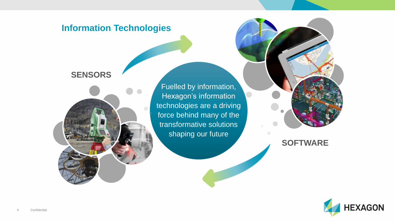
Fuelled by information,
Hexagon’s information
technologies are a driving
force behind many of the
transformative solutions
shaping our future
Information Technologies
SOFTWARE
SENSORS
Confidential5
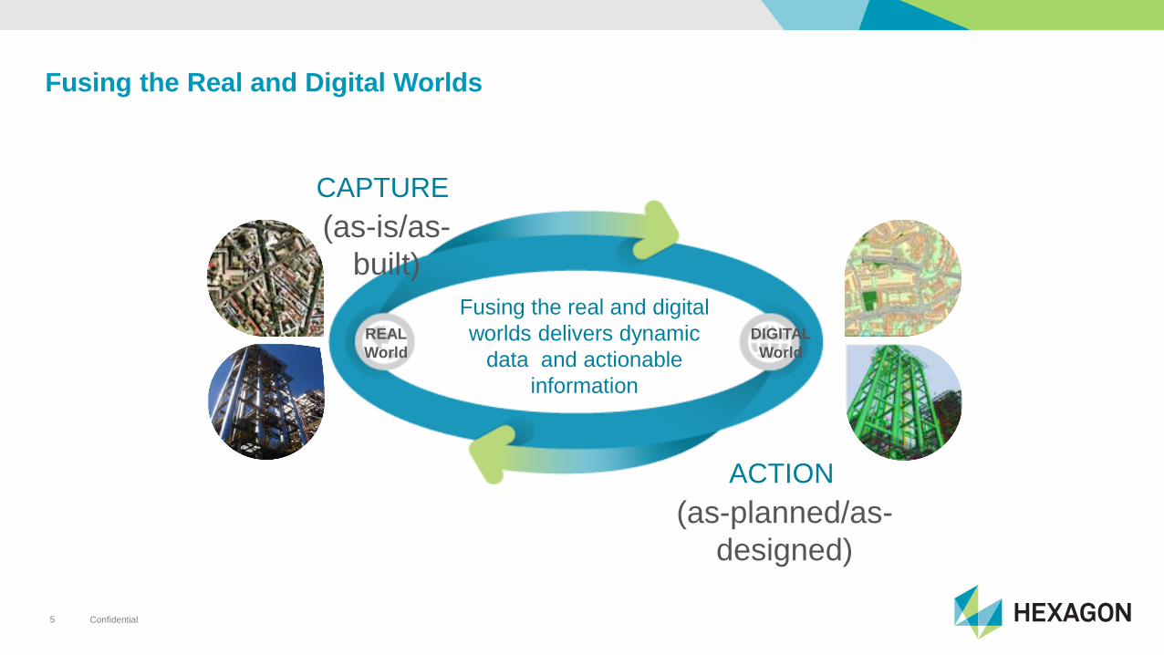
Fusing the Real and Digital Worlds
REAL
World
DIGITAL
World
(as-is/as-
built)
CAPTURE
Fusing the real and digital
worlds delivers dynamic
data and actionable
information
(as-planned/as-
designed)
ACTION
Confidential6
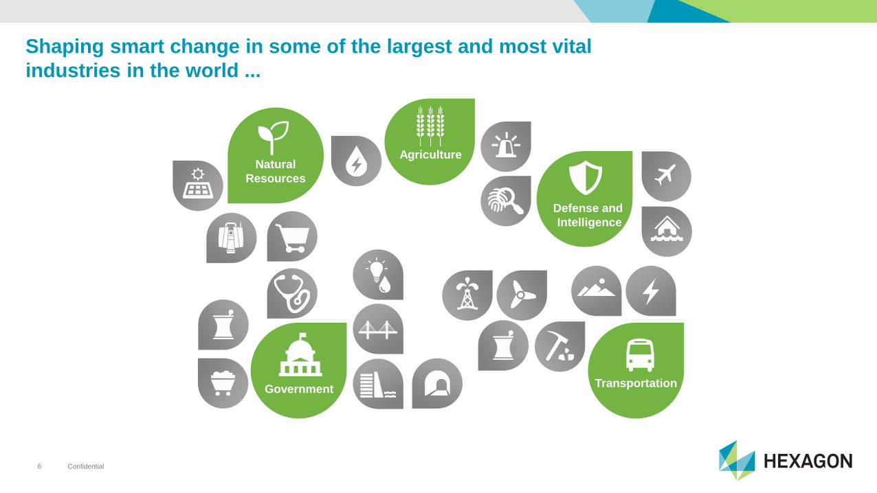
Shaping smart change in some of the largest and most vital
industries in the world ...
Transportation
Defense and
Intelligence
Agriculture
Government
Natural
Resources
Confidential7
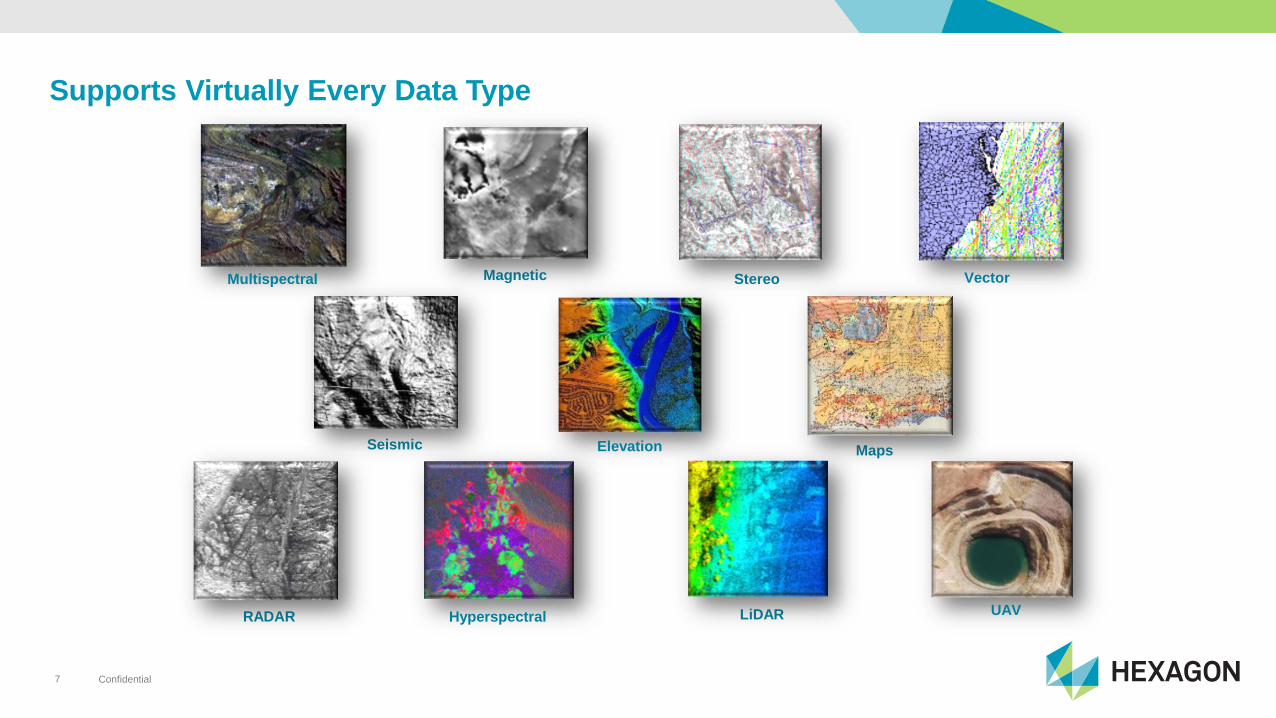
Supports Virtually Every Data Type
Elevation
Hyperspectral
Magnetic Vector
LiDARRADAR
Stereo
MapsSeismic
Multispectral
UAV
Confidential8
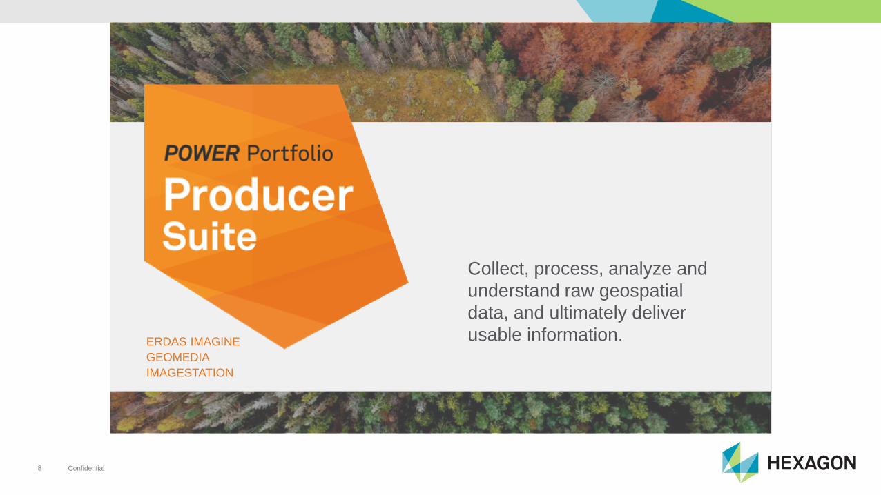
Collect, process, analyze and
understand raw geospatial
data, and ultimately deliver
usable information. ERDAS IMAGINE
GEOMEDIA
IMAGESTATION
Confidential9
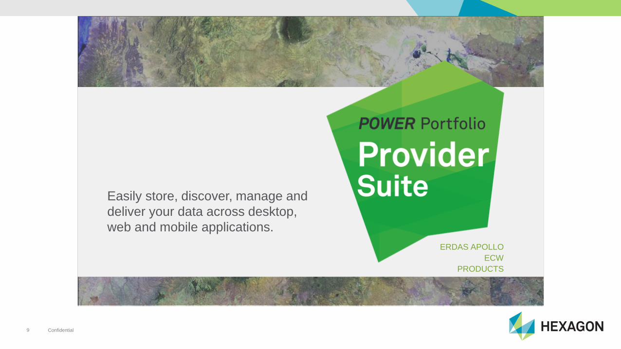
Easily store, discover, manage and
deliver your data across desktop,
web and mobile applications.
ERDAS APOLLO
ECW
PRODUCTS
Confidential10
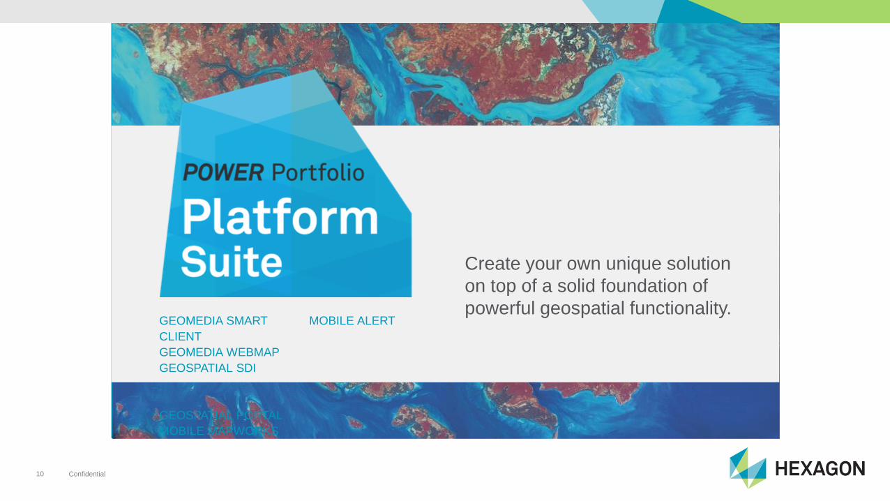
Create your own unique solution
on top of a solid foundation of
powerful geospatial functionality.GEOMEDIA SMART
CLIENT
GEOMEDIA WEBMAP
GEOSPATIAL SDI
GEOSPATIAL PORTAL
MOBILE MAPWORKS
MOBILE ALERT
Confidential11
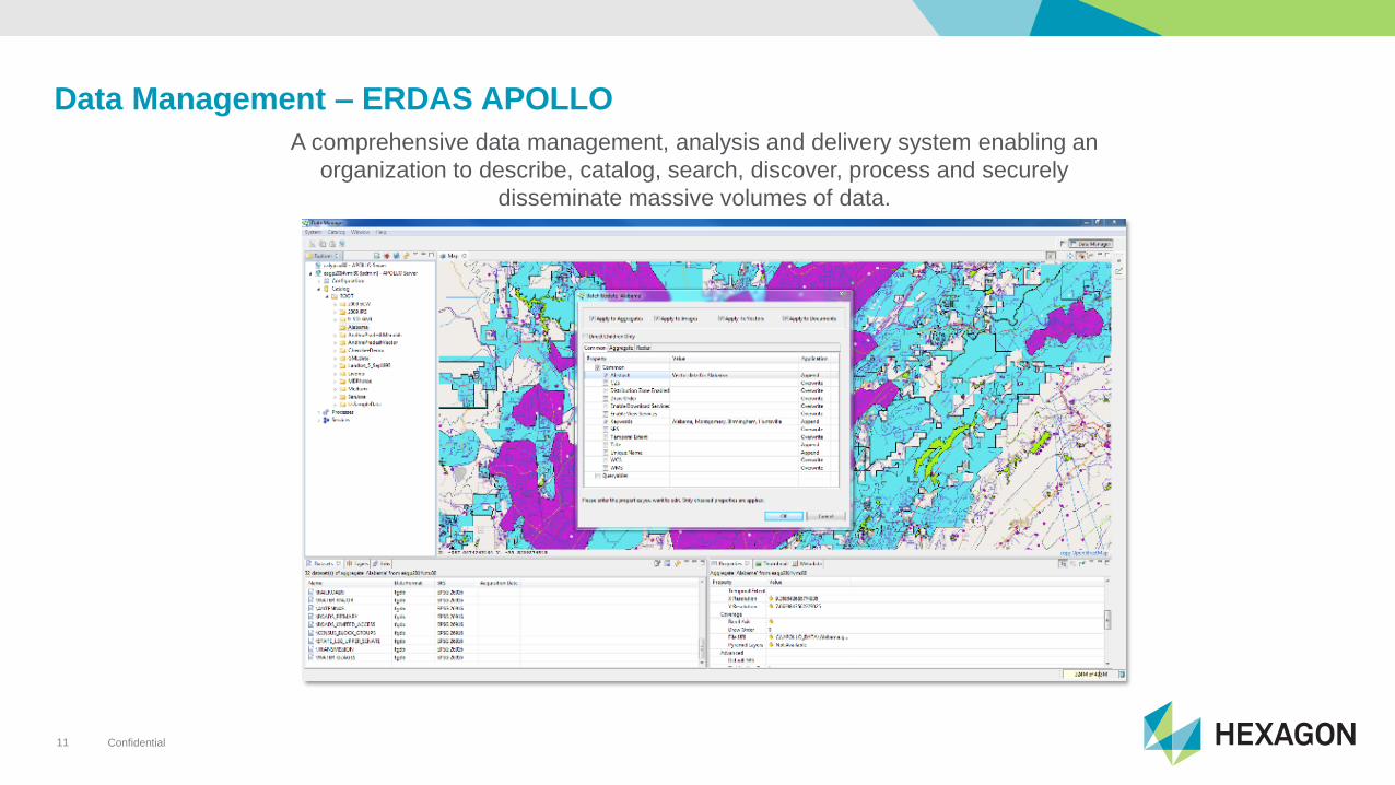
Data Management – ERDAS APOLLO
A comprehensive data management, analysis and delivery system enabling an
organization to describe, catalog, search, discover, process and securely
disseminate massive volumes of data.
Confidential12
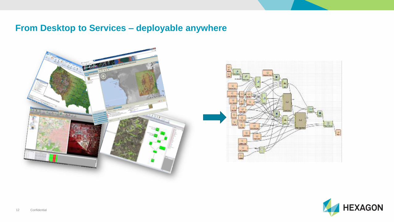
From Desktop to Services – deployable anywhere
Confidential13
Confidential14
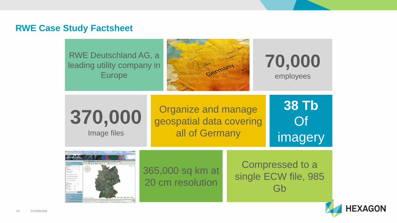
RWE Case Study Factsheet
365,000 sq km at
20 cm resolution
70,000employees
Compressed to a
single ECW file, 985
Gb
RWE Deutschland AG, a
leading utility company in
Europe
38 Tb
Of
imagery
Organize and manage
geospatial data covering
all of Germany
370,000Image files
Confidential15
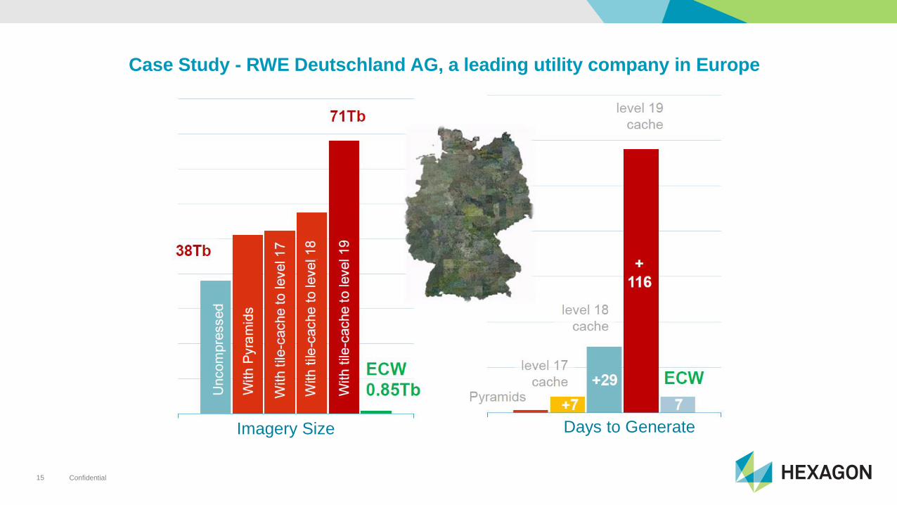
Case Study - RWE Deutschland AG, a leading utility company in Europe
Imagery Size Days to Generate
Confidential16

Confidential17
AN APPLICATION THAT DELIVERS A DYNAMIC
INFORMATION SERVICE THAT:
• IS FRESH
• IS PORTABLE
• PROVIDES ANSWERS
• PROVIDES AN EXPERIENCE THAT MAKES SENSE
THE MAP OF THE FUTURE IS…
Confidential18
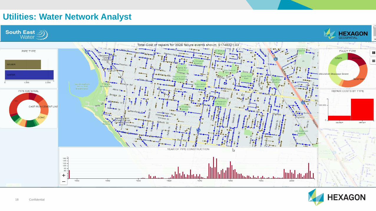
Utilities: Water Network Analyst
Confidential20
Thank You!
Top Related
Copyright © 2022 FDOKUMEN

