Given, M., A.B. Knapp, J.S. Noller, L. Sollars and V. Kassianidou (eds.). 2013. Landscape and...
7
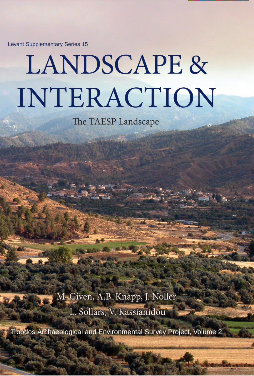
LANDSCAPE & INTERACTION e TAESP Landscape Levant Supplementary Series 15 M. Given, A.B. Knapp, J. Noller L. Sollars, V. Kassianidou Troodos Archaeological and Environmental Survey Project, Volume 2 13/09/2013 16:50:55
Transcript of Given, M., A.B. Knapp, J.S. Noller, L. Sollars and V. Kassianidou (eds.). 2013. Landscape and...
Oxbow Bookswww.oxbowbooks.com
Landscape & InteractIon
The taesp Landscape
The Council for British Research in the Levant (CBRL) is the British Academy sponsored society for research into the humanities and social sciences in the modern countries of the Levant, closely related to the former Bilad el-Sham. It is a membership based learned society, with its headquarters in London and research centres in the region. The regional centres provide research facilities for members, with libraries, accommodation and equipment, and serve as contact points with local universities, museums, other research institutions and government agencies.
The CBRL currently sponsors a large number of British-based research projects in the Levant, in topics ranging from Palaeolithic archaeology to contemporary social science, fostering collaborative research with scholars in the region. Members receive the CBRL’s journal, Levant, as well as the annual CBRL Bulletin which reports on current research and activities.
The CBRL also sponsors regular lectures in London and elsewhere in the UK, as well as in the Levant, and publishes academic monographs in the ‘Levant Supplementary Series’.
For further information, please see http://www.cbrl.org.uk/CBRL
The TAESP Landscape, the second of two volumes, presents an area-by-area analysis of the fieldwork and research undertaken by the Troodos Archaeological and Environmental Survey Project (TAESP) in the Troodos Mountains of Cyprus. Covering four regions of the survey area (The Plains, Karkotis Valley, Upper Lagoudhera Valley and The Mountains) the volume focuses on explicit research questions appropriate to each region. Organised geographically, chronologically and thematically, each region is investigated from the Neolithic to the present day, and by selecting a representative range of the physical and cultural terrain, many notable new discoveries are made. These include the pattern of Bronze Age settlement in the Plains, Archaic rural sanctuaries and cemeteries, the scope of Late Roman copper-mining and isolated Medieval mountain settlements. The TAESP Landscape provides a fully integrated and data-rich analysis of the material from a wide range of contrasting archaeological perspectives. Taken together, these wide-ranging and interdisciplinary perspectives give a nuanced and sensitive approach to a strikingly multi-faceted landscape.
Levant Supplementary Series 15
II
M. G
iven, a. B. K
napp, J. noller
L. sollars & V. K
assianidou
Lan
dsc
ape &
Intera
ctIo
nTh
e taesp Landscape
M. Given, a.B. Knapp, J. noller L. sollars, V. Kassianidou
Troodos Archaeological and Environmental Survey Project, Volume 2
CBRL
Vol 2 Cover.indd 1 13/09/2013 16:50:55

LANDSCAPE AND INTERACTION The Troodos ArchAeologicAl And
environmenTAl survey ProjecT, cyPrus
VOLUME 2
The TAESP Landscape
ByMichael Given, A. Bernard Knapp, Jay Noller,
Luke Sollars and Vasiliki Kassianidouwith contributions by
Iain Banks, Alexis Boutin, Hugh Corley, Stephen Digney, Ian Evans, Sevina Floridou, Ruth Smadar Gabrieli, Erin Gibson, Angus Graham, Marios Hadjianastasis, Mara T. Horowitz,
Jean Humbert, Tracy Ireland, Sarah Janes, Abel Lufafa, Carole McCartney, Maria Ntinou, Chris Parks, Colin Robins, Charlotte Schriwer, Sheila Slevin, Gary Tompsett, Neil Urwin,
Joanita Vroom and Kristina Winther-Jacobsen
and
Stephen Digney, Myrto Goergakopoulou, Abel Lufafa, Emmanuel Moutafov, Danielle Parks†, Colin Robins, Sheila Slevin and Gary Tompsett
OXBOW BOOKSOxford and Oakville
LEVANT SUPPLEMENTARY SERIESVOLUME 15
Published jointly bythe Council for British Research in the Levant
andOxbow Books, Oxford, UK
© Council for British Research in the Levant, Oxbow Books and the authors, 2013CBRL Honorary Editor: Thomas F. Tartaron
ISBN 978-1-78297-188-7
Front cover: The Karkotis Valley looking south, with the church of Panayia Kousouliotissa in the foreground, the village of Korakou, and the Troodos Mountains in the background with Mount Olympus (Michael Given)
This book is available direct from:
Oxbow Books, Oxford, UK(Phone: 01865-241249; Fax: 01865-794449)
and
The David Brown Book CompanyPO Box 511, Oakville, CT 06779, USA
(Phone: 860-945-9329; Fax: 860-945-9468)
or from our website
www.oxbowbooks.com
A CIP record for this book is available from the British Library
Printed and bound in Great Britain byShort Run Press, Exeter

To the people of the Survey Area, past and present

The fieldwalkers and specialists of the Troodos Archaeological and Environmental Survey Project investigated a wide variety of physical and cultural landscapes on the northern edge of the Troodos Mountains in central Cyprus over six field seasons. These landscapes range from the cultivated Mesaoria Plain in the north to the forested Troodos Mountains in the south, and from the rich and fertile Karkotis Valley in the west to the drier and narrower Lagoudhera Valley in the east. Across this physical topography lie the cultural landscapes of food and fibre production, natural resource extraction, water conveyance and industry, ritual and burial, and the structures associated with villages, farms and copper mines.
Our regional perspective and time span, of at least 12,000 years, mean that the research issues are inevitably wide-ranging. At the core is the complex and dynamic relationship between people and their landscape, as it was played out in resource extraction, communication, settlement, social organisation, and the manipulation of soils, plants and water. This conceptual focus opens out onto a wide range of case studies, both chronologically and thematically.
Volume 1 of this publication contains a full explanation of the project’s research context, research philosophy and methodology, and detailed analyses of the archaeology, material culture, architecture and environmental record of the Survey Area as a whole. This is followed by a series of periodspecific analyses (Prehistoric, Iron Age, Hellenistic–Roman and Byzantine–Modern), and a conclusion that addresses our primary research goals and offers an evaluation of the project.
Volume 2 presents the results of our fieldwork and research, area by area. The analysis of this material
Abstract
is organized geographically, thematically and chrono-logically, and focuses on explicit research questions: the volume is data-rich but not merely descriptive. The emphasis throughout is on the integration of the work of our field teams and interdisciplinary specialists: this integration began in the field, was carried through the analysis and into the publication.
Our findings cover all periods from the Aceramic Neolithic to the present day. In the Aceramic Neolithic there was seasonal exploitation of the plains for cereal cultivation. We have established a pattern of substantial valley settlements and smaller foothill agricultural sites from the Late Chalcolithic to early in the Late Bronze Age. Particularly important are two Early Bronze Age settlements in the Karkotis Valley, clearly exploiting the copper mines of Skouriotissa and the rich and well-watered alluvial soils of the valley. Our most notable finds from the Iron Age to Classical period consist of two Archaic rural sanctuaries and several cemeteries.
In the Late Roman period we have an industrial landscape centred on the massive-scale production of copper at Skouriotissa, supported by intensive cultivation in the valley and a network of farmsteads spreading further afield. There is also a separate mining and agricultural system to the south-east, as well as isolated sites in the mountains producing timber, charcoal and other forest products. After an apparent gap in the Byzantine period, we have a system of Medieval estates, intense cultivation in the fertile Karkotis Valley in the Medieval and Ottoman periods, and a complex of small settlements, churches and paths in the mountains. Our work in the modern period has focused on the history and archaeology of mining and agriculture, and includes a substantial series of interviews with local villagers.

Preface ..............................................................................................................................................................................ixList of Colour Plates .........................................................................................................................................................xiList of Figures ................................................................................................................................................................ xiiiList of Tables ................................................................................................................................................................. xviiList of Contributors .........................................................................................................................................................xix
1 Introduction ..................................................................................................................................................................1
2 The Plains.....................................................................................................................................................................6 2.1 Introduction ......................................................................................................................................................6 2.2 Environmental Setting ......................................................................................................................................8 2.3 Atsas Valley Intensive Survey Zone: Introduction and Overview .................................................................10 2.4 Archaic Sanctuary and Cemetery at Evrykhou Khalospitia and Kamilaries .................................................11 2.5 Roman Farmstead at Linou Vrysi tou Haji Christophi ..................................................................................12 2.6 Roman Farmstead and Cistern at Petra Phoukasa .........................................................................................16 2.7 Diachronic Analysis of the Atsas Valley ........................................................................................................17 2.8 Mandres Intensive Survey Zone: Introduction and Overview .......................................................................21 2.9 Bronze Age Settlement at Kato Koutraphas Mandroudhes ...........................................................................22 2.10 Ottoman–Modern Settlement at Kato Koutraphas Mandres ........................................................................24 2.11 Mandres in Context: Transect Survey across the Plain ................................................................................37 2.12 Koutraphas Intensive Survey Zone: Introduction and Overview .................................................................38 2.13 Ad Hoc Stone Industries ...............................................................................................................................40 2.14 Bronze Age Activities at Nikitari Petrera ....................................................................................................41 2.15 Temporary Occupation and Exploitation in the Roman Period ......................................................................43 2.16 Agriculture and Milling in the Medieval–Modern Periods ..........................................................................45 2.17 Conclusions: Settlement and Seasonality in the Plains Landscape .............................................................48
3. The Karkotis Valley ...................................................................................................................................................51 3.1 Introduction ....................................................................................................................................................51 3.2 Environmental Setting and Description .........................................................................................................53 3.3 Soil, Water and Production in the Medieval–Modern South Karkotis Valley ...............................................57 3.4 Mylos tou Stylli, Evrykhou: Technology and Religion in a Working Watermill ..........................................63 3.5 Prehistoric Settlement at Phlasou Koutroullis ................................................................................................70 3.6 Phlasou Dodekaskala: Roman–Modern Pottery Scatters and Monastery ......................................................78 3.7 Ayios Epiphanios: a Medieval and Turkish Cypriot Village ..........................................................................82 3.8 Phlasou: From Medieval Estate to Modern Twin Village ..............................................................................84 3.9 PreBA 2 Settlement and Tombs at Katydhata Laonarka ...............................................................................88 3.10 Katydhata Village and Landscape ................................................................................................................97 3.11 Archaic Sanctuary and Roman Settlement at Katydhata Pano Limna .......................................................105 3.12 Ancient and Modern Copper Production at Skouriotissa Vouppes ............................................................114 3.13 Hellenistic and Roman Pottery at Skouriotissa Pseftas .............................................................................138 3.14 Mortuary Landscapes of the Karkotis Valley .............................................................................................141 3.15 The Karkotis Valley in Context ..................................................................................................................143 3.16 Karkotis Valley: Conclusions .....................................................................................................................146
Contents

viii Contents
4. The Upper Lagoudhera Valley .................................................................................................................................152 4.1 Introduction ..................................................................................................................................................152 4.2 Environmental Setting and Description .......................................................................................................153 4.3 Ancient and Modern Mining on Alestos ......................................................................................................157 4.4 Roman Mining Settlement at Xyliatos Litharkies (TS05) ...........................................................................160 4.5 Ancient Mining Adits at Xyliatos Ayios Kyriakos (TS10) ...........................................................................172 4.6 Roman Smelting and Settlement at Ayia Marina Mavrovouni (TS02) ........................................................177 4.7 Medieval–Ottoman Rural Estate at Xyliatos Athassi ...................................................................................194 4.8 Roman Copper Mining and Processing ........................................................................................................196 4.9 Medieval–Modern Churches, Settlements, Water and Land Use.................................................................198 4.10 Conclusion ..................................................................................................................................................202
5. The Mountains .........................................................................................................................................................204 5.1 Introduction ..................................................................................................................................................204 5.2 Environmental Setting and Geomorphology ................................................................................................206 5.3 Settlement in the Adelphi Foothills ..............................................................................................................207 5.4 Roman–Modern Settlement Continuity ........................................................................................................211 5.5 Medieval–Modern Settlement Intensification ..............................................................................................214 5.6 Communication Routes and Interaction .......................................................................................................230 5.7 Land Use .......................................................................................................................................................231 5.8 Boundaries, Shifting Settlement and Climate Change .................................................................................236 5.9 The Wider Mountain Landscape ..................................................................................................................239 5.10 The End of ‘Isolation’ in the Mountains ....................................................................................................241
6. Conclusions and Period Summaries ........................................................................................................................243
Appendix 1. Catalogue of Places of Special Interest ....................................................................................................249Appendix 2. Catalogue of Special Interest Areas ..........................................................................................................257
Bibliography...................................................................................................................................................................261
Index ................................................................................................................................................................................271
Colour Plates ....................................................................................................................................................................277