Protecting Environmentally-Sensitive Areas and Promoting ...
Upload
khangminh22Category
view
0download
0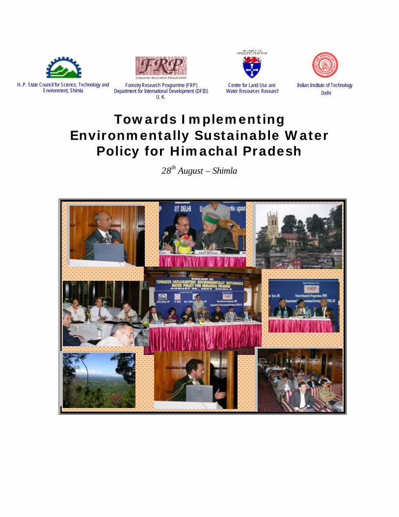
Towards Implementing Environmentally Sustainable Water
Policy for Himachal Pradesh 28th August – Shimla
Indian Institute of Technology Delhi
Centre for Land Use and Water Resources Research
Forestry Research Programme (FRP) Department for International Development (DFID)
U. K.
H. P. State Council for Science, Technology and Environment, Shimla
1
Contents
CONTENTS ..................................................................................................................................................................1 EXECUTIVE SUMMARY .........................................................................................................................................2 INAUGURAL AND TECHNICAL PRESENTATIONS SESSION ................................................................4 PANEL DISCUSSION .................................................................................................................................................7 RECOMMENDATIONS .............................................................................................................................................8 APPENDIX – I..............................................................................................................................................................11 APPENDIX – II............................................................................................................................................................17 NEWS CLIPPINGS ....................................................................................................................................................20 GOVERNMENT PRESS REL EASE. ....................................................................................................................25 MESSAGE FROM MR. JOHN PALMER ...........................................................................................................28 WORKSHOP BROCHURE .....................................................................................................................................30 POWERPOINT PRESENTATIONS .....................................................................................................................35
2
Executive Summary The main purpose of this workshop was to initiate discussion as to how the water policy framed by the State of Himachal Pradesh can be implemented in environmentally sustainable manner. The participants for the workshop were drawn from all the HP state line departments and other stake holders associated with the water sector.
The workshop was divided into three segments. It started with an inaugural session. A session for technical presentations and another session for panel discussion and formulation of recommendations
About 120 participants from various Central and State departments and other organizations took part in the inaugural and technical presentation sessions. A few prominent departments/organizations represented include Irrigation and Public Health, Agriculture department, Forest department, State Council for Science Technology and Environment, department of Information Technology, department of Bio-technology, DRDA, Regional Research Laboratory (Bhopal), Department of Science and Technology Delhi, Planning Commission, Central Water Commission, CSIR, IIT Delhi, DFID India, CLUWRR UK.
NGO’s namely Sandesh, HP Gyan Vigyan Samiti, Himurja and Winrock International India Delhi were also present along with representative from private organizations such as INRM consultants Pvt. Ltd, Tech House, and Sai Engineering.
Mr. Sanjeev Gupta, Secretary (ST, IT & BT) in his welcome address elaborated on the purpose and need of such interactions to prepare the society to face present and future water issues. This was followed by a message of “Mr. John Palmer, Manager DFID’s FRP programme” read by Mr. Virendra Sharma, Advisor, DFID India.
Mr. R. K. Gupta, Director (Hydrology), CWC, New Delhi, presented an overview of the salient features of the National Water Policy.
Prof. A.K. Gosain, IIT Delhi in his keynote address emphasized on creating a national framework for implementing an integrated approach for water resource management. He also explained how such a framework can be formulated and implemented for the state of Himachal Pradesh.
Mr. Jaime Amezaga from CLUWRR talked about the initiatives being taken under the cluster projects which has four projects running including “low flows” R8171 under which this workshop was being organized. He also shared with the audience the new initiative been taken in the form of FAWPIO (forest land and water policy; improving outcome) which is aiming at BRAP – Bridging gap between research and policy and improved framework for Policy formation.
Honourable IPH Minister, Thakur Kaul Singh highlighted the significant role of water as prime resource of the mountain areas to develop their economy and talked about water conservation techniques as a step towards meeting the ever increasing demand.
Hon’ble chief minister of Himachal Pradesh Shri Vir Bhadra Singh on this occasion pointed out the effects of climate change on water availability. He stressed on formation
3
of separate policies for the hilly regions like Himachal taking into account the topography and climate.
Mr. Bharat Khera, Member Secretary, SCST&E, proposed vote of thanks to conclude the inaugural session.
The technical presentation session started with the first technical presentation made by Mr. Sharma, Chief Engineer (South), Irrigation and Public Health (IPH) Department. He shared with the participants the State water sector statistics and the information on some of the ongoing and future initiatives.
Mr. Sunandan Tiwari Winrock International India, Delhi made his presentation on impact of forest and land uses on water resources, with clear connection between land use and water.
Dr. D. Dutta, Additional Director, NRDMS, Department of Science and Technology, New Delhi, made a presentation on the National Spatial Database Infrastructure (NSDI).
Dr. Sandhya Rao presented the excerpts of the work being done at IIT Delhi under the “LOWFLOWS” project. The project is developing an “integrated framework” to improve watershed management based on interdepartmental cooperation, data collection and modeling.
The afternoon session was dedicated to panel discussion and formulation of recommendations. This session was attended by about 40 participants including managers, planners, policy makers from various line departments of the State, representatives of the Central Government organizations and researchers. It was chaired by Mr. S.C Gupta, Chief engineering Central Water Commission (Chandigarh), and Prof. A.K. Gosain, Dr. R.K. Sood, and Mr. Jaime Amezaga were the facilitators.
After a brief comments by the chairman and the other panelist, discussions were focused towards recommending formulation of a common framework for data sharing and data gathering for which there was unanimity amongst the participants. A lively debate on what steps needs to be taken for collection and collation of data, what data elements to be incorporated and identification of the jurisdiction and responsibility of line departments for each data element took place. In the situation where overlap prevails for certain entities of data, one agency was recognized which shall take lead for carrying out specific tasks and co-ordinate with other line departments. These recommendations will be taken up by the SCST&E with the state government for the next level of action in the form of specific workshops for standardization of entities in the purview of the specific line departments on the basis of their recognized role. IIT Delhi shall facilitate such workshops.
4
Inaugural and Technical Presentations Session This is a summary report of the workshop held at Shimla on 28th August, 2004 on the topic “Towards implement an environmentally sustainable water policy for Himachal Pradesh”. The workshop was organized by State council for Science and technology supported by Indian Institute of Technology Delhi, CLUWRR, and University of Newcastle upon Tyne, U.K. under the “Low Flows” (R8171) project sponsored by Forestry Research Programme (FRP) Department for International Development (DFID), U.K.
The purpose of the workshop was to facilitate the policy makers, researchers and the representatives of the various line departments to formulate strategies for the implementation of environmentally sustainable water policies.
People from a wide spectrum of the water arena were invited for the workshop. The workshop was divided into two sessions, the forenoon and the afternoon. Besides the inaugural session, the forenoon session covered technical presentations by the area experts drawn from Central, State and research organizations. The Hon’ble Chief Minister of Himachal Pradesh, Mr. Virbhadra Singh was the chief guest for the Inaugural Session. The other dignitaries who shared the dias with Hon’ble Chief Minister were, Hon’ble IPH Minister, Thakur Kaul Singh, the Chief Secretary, Kanwar Shamsher Singh, the Principal Secretary (Irrigation and Public Health), Madam Harinder Hira, the Secretary (ST,BT & IT), Mr. Sanjeev Gupta, Prof. A.K Gosain (Professor, Department of Civil Engineering, IIT Delhi), and Mr. Jaime Amezaga, CLUWRR, University of Newcastle upon Tyne, U.K. There were about 140 participants from State and Central organizations, research and educational organizations and also from non-governmental organizations in the morning session.
Shri Sanjeev Gupta, Secretary, Science & Technology, Govt. of Himachal Pradesh, in his address welcomed the dignitaries, sponsors and the participants for their positive response. He elaborated on the purpose and need of such interaction for positioning the society to face the challenges of present and future scarcity in water resources and the need for evolving environmentally sustainable solutions.
Mr. Virendra Sharma, Advisor, DFID India, read the message sent by Mr John Plamer, Manager of DFID's centrally-funded Forestry Research Programme (FRP). He also touched upon some of the activities of DFID India.
Professor A. K. Gosain, IIT Delhi, while delivering his keynote address stressed on the need of using the integrated approach for proper planning and management of this very precious resource. He emphasized that the real bottleneck in this approach is the lack of framework to collate the available date residing in various line departments. He demonstrated how such integration is possible using the latest IT tools. Creation of such infrastructure which shall help all line departments in using common information on water resources is going to serve the State in implementing the water resources policy in an environmentally sustainable manner.
5
Mr. R. K. Gupta, Director (Hydrology), Central Water Commission, New Delhi, provided an overview of the salient features of the National Water Policy. He also stressed upon the need for having a common framework if the integrated approach is to be implemented.
Mr Jaime Amezaga, shared with the audience some of the recent initiatives being taken by the CLUWRR, University of Newcastle upon Tyne, UK, with the help of the Department for Interna tional Development (DFID), UK. These initiatives are geared towards generation of improved outcomes on land and water policies in a network of countries.
Honourable IPH Minister Thakur Kaul Singh while delivering his presiding address highlighted the problems of water conflict of twenty first century and the need to be better prepared for such eventualities. He also highlighted the critical role of water as prime resource of the mountain areas as it has potential to transform the economy of the State. He emphasised the need to explore the feasibility of deploying snow harvesting as a viable solution for meeting the water demand at the household and community level. He appreciated the effort of the organisers in choosing the most appropriate theme for discussion and assured the support of IPH department for implementing the recommendations of the workshop.
Honorable Chief Minister of Himachal Pradesh, Shri Virbhadra Singh in his inaugural address highlighted the necessity of evolving and implementing environmentally sustainable water policy in the State. He also drew the attention of the experts to the specificities of mountain regions and their unique problems. He further pointed out the uncertainties of climate and its bearing on the availability of water resources. He stressed the need to resort to the practices of rainwater harvesting and integrated watershed development in a scientific manner. He concluded his inaugural address with the observation made by Late Smt. Indira Gandhi, “Our hill areas have been known for their beauty, for their controlling the weather, their ecological significance and, of course, their strategic value so far as defense is concerned. It is true however that they have remained insulated from the full impact of development activities. There have been some efforts to break this vicious circle but, they have not made the impact which we all desired. So we have to make a more concerted, determined effort, not only in the quantitative sense but also qualitatively better-oriented, to diagnose and find cures for the deeper problems of these areas including road infrastructure, health, education, ecology and safe drinking water”. He announced that environmental cell will be constituted in each department to harmonize development in an eco-friendly manner.
Mr. Bharat Khera, Member Secretary, SCST&E, proposed vote of thanks to conclude the inaugural session.
After the short tea break, a session was held where four technical presentations were made. Mr. R. A. Singh, Principal Chief Conservator of Forest Department, Himachal Pradesh was the chairman of this session. The first presentation was made by Mr. Sharma, Chief Engineer (South), Irrigation and Public Health (IPH) Department. He shared with the participants the water sector statistics of the State and the information on some of the ongoing and future initiatives. The presentation focused on the participatory approach
6
being followed in State for water management. The scope of the World Bank funded Hydrology Project II being taken up in the State was also shared.
Each Presentation was followed by a 5 minute question answer session. Some very lively debates took place after some presentations. Some of the important observations and suggestions made after the HP presentation included, the need to establish/create basic water reserve, keep the per capita demand of water in the State at 70 lcd (liters/capita/day). It was pointed out that the State water policy is oriented towards irrigation and canal irrigation in particular. There was also a debate on what should be byelaw regarding the minimum flow to be released on the downstream after the construction of a storage structure on the drainage system. It was felt that debate should be held to establish the environmental release for the ecosystems to survive.
This was followed up with a presentation by Mr Sunandan, Winrock International India, New Delhi. The presentation enumerated the impact of forest and land uses on water resources, with clear connection between land use and water. He presented the initial findings of the socio-economic survey conducted in the Khalasi Khud watershed and emphasized the role of using a scientific backup for making the appropriate decisions which are pro-poor while implementing the watershed management programme. The presentation was stated to be a “Thought Provoking” one by the Chairman.
Dr. D. Dutta, Additional Director, NRDMS, Department of Science and Technology, New Delhi, made a presentation on the National Spatial Database Infrastructure (NSDI), which is a new initiative taken collectively by DST and Department of Space (DoS) in India. He emphasized how timely this workshop is to debate on the strategies to implement the philosophy at the state level. His presentation also informed about the concept of electronic clearing house for data dissemination. During the question answer session after the presentation, it was pointed out that there should be some method to capture the cultural/ traditional water conservation practices/techniques in data as they can be useful to find viable solutions.
The last of the technical presentations was made by Dr. Sandhya Rao who presented the excerpts of the work being done at IIT Delhi under the “LOWFLOWS” project. The project is developing an “integrated framework” to improve watershed management based on interdepartmental cooperation, data collection and modeling. She also talked about and demonstrated some of the important elements of the framework such as Digital Elevation Model (DEM), drainage network, landuse, soil, etc., which are already available in the digital form and can serve as initial macro level framework.
7
Panel Discussion The panel discussion, as planned, was attended by about 40 participants drawn from various line departments and other allied organizations. The complete list of participants is given in Appendix – II. Mr. S.C Gupta, Chief engineering Central Water Commission (Chandigarh) chaired the session, and Prof. A.K. Goasin (Department of civil engineering, IIT Delhi), Dr. R.K. Sood (State Council for Science and Technology), and Mr Jaime Amezaga, (Senior researcher, CLUWRR, UK) were the facilitators.
The Chairman mentioned that although spatial inputs have been used intermittently in the past for implementation of the water policies in Himachal Pradesh, yet the present exercise is geared towards taking up a more holistic perspective plan.
Prof. Gosain informed the participants that one of the major requirements for integrated water resource management is to establish linkages between the line departments which shall in turn help in the development of a framework to incorporate all the aspects which influence water. However, the main question is, how best to implement such framework without changing the exiting administrative framework.
Dr. D.Dutta, Additional Director, DST, raised a question about what should be the target. A bottom up approach to integrate the system of data needs to be developed. But how to integrate all the various scaled data starting from cadastral to 250000 scale. Standardization of scales was recommended for integration of various data layers.
Ms Aparna Negi (Reader, Department of Economics, Himachal University) pointed out that similar kind of work for Himachal Pradesh is already being done by Census of India, in which Census of India has started digitization of cadastral level maps of Himachal Pradesh villages and attaching with it the census attribute data. Many other members were aware of the effort but were concerned about the pace at which the work was progressing.
The major problem which most of the participants felt was the lack of dissemination of data. It takes lot of efforts to get the data. Mr. Vinay Tondon, Winrock International India, suggested that an agency should be made nodal for dissemination of all kind of data.
The representative of IPH was of the view that as far as water utilization in the State is concerned, prioritizing the uses will be a step in the right direction (The national water policy has already done it, IWP #5). May be the priority use of water can be – drinking, irrigation, Hydro-power, ecology, industries, navigation etc. Ground water contamination, pesticides and quality of water also need looking into. Prof. Gosain reiterated that in order to keep vigil on the quality aspects of water the first step is to quantify water resource availability.
Mr. R.C. Thakur, Director Research, Horticulture University, Palampur pointed out that there was not much reliability of the available data on which policy making is usually done. The panel felt that in earlier times data was inflated to get projects and grants but now things have changed and with consistency checks put in position such anomalies can be tackled.
8
After this brief general debate, it was decided to formulate the specific recommendations of the workshop which can be submitted to the appropriate authorities in the State for possible implementation.
Recommendations Ø The implementation of State Water Policy in environmentally sustainable manner
is a collective responsibility of all the stake holders All the participants were unanimous on this requirement. There were some questions which will need elaboration such as which should be the lead agency? Although there were some concerns put by various departments but ultimately consensus was reached that IPH be the lead agency for water resource availability with the involvement of other associated departments like Agriculture, horticulture etc., and SCST&E should be the lead agency for keeping track of the health of the environment in the State.
Ø Use watershed philosophy by making appropriate use of the hydrological boundaries during the planning and management process
This requires standardization of watersheds and other base layers on the lines recommended by NSDI (National Spatial Database Infrastructure). State council for science, technology and environment has been identified to take lead in this, but with help from agriculture, horticulture, irrigation, rural developments. Place a common framework on the lines of the NSDI to collect data and collate information required for integrated planning and management at the scales varying from river to the watershed
Ø Identify the elements of data under the jurisdiction of each line department for collection and updation
The general data requirement and availability was discussed with a view to identify the line department who should be given the responsibility of the respective elements for creation and updation. The following emerged.
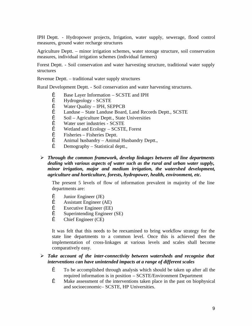
Data for river networks, drainage basins, watershed etc. (SCST&E).
Hydometeorological data - The state has a reasonable network of rainfall data which is further being strengthened through the World Bank funded Hydrology Project (HP II) under operation with IPH department. The hydrological data network shall also be strengthened under this project. The IPH shall take lead and coordinate with other organizations collecting hydrometeorological data in the State, such as HPSEB, Forest and Revenue department, HPKV Palampur and Dr. YS Parmar Horticulture Universities, CWC (regional office), etc.
Infrastructure data
It includes a large range of infrastructural projects connected with water resources. Some of the salient ones have been identified with the department responsible for its development and upkeep
9
IPH Deptt. - Hydropower projects, Irrigation, water supply, sewerage, flood control measures, ground water recharge structures
Agriculture Deptt. – minor irrigation schemes, water storage structure, soil conservation measures, individual irrigation schemes (individual farmers)
Forest Deptt. - Soil conservation and water harvesting structure, traditional water supply structures
Revenue Deptt. – traditional water supply structures
Rural Development Deptt. - Soil conservation and water harvesting structures.
Ê Base Layer Information – SCSTE and IPH Ê Hydrogeology - SCSTE Ê Water Quality – IPH, SEPPCB Ê Landuse – State Landuse Board, Land Records Deptt., SCSTE Ê Soil – Agriculture Deptt., State Universities Ê Water user industries - SCSTE Ê Wetland and Ecology – SCSTE, Forest Ê Fisheries – Fisheries Deptt. Ê Animal husbandry – Animal Husbandry Deptt., Ê Demography – Statistical deptt.,
Ø Through the common framework, develop linkages between all line departments dealing with various aspects of water such as the rural and urban water supply, minor irrigation, major and medium irrigation, the watershed development, agriculture and horticulture, forests, hydropower, health, environment, etc.
The present 5 levels of flow of information prevalent in majority of the line departments are:
Ê Junior Engineer (JE) Ê Assistant Engineer (AE) Ê Executive Engineer (EE) Ê Superintending Engineer (SE) Ê Chief Engineer (CE)
It was felt that this needs to be reexamined to bring workflow strategy for the state line departments to a common level. Once this is achieved then the implementation of cross-linkages at various levels and scales shall become comparatively easy.
Ø Take account of the inter-connectivity between watersheds and recognise that interventions can have unintended impacts at a range of different scales
Ê To be accomplished through analysis which should be taken up after all the required information is in position – SCSTE/Environment Department
Ê Make assessment of the interventions taken place in the past on biophysical and socioeconomic– SCSTE, HP Universities.

10
Ø Take account of the physical characteristics of the watershed during the participatory planning of interventions and, in particular, ensure that interventions have the potential to benefit target groups
Ê Create perspective action plan – This is a collective effort – Lead by SCSTE with participation from implementing line departments.
Ø Use latest tools such as distributed hydrological simulation modeling to estimate flow quantities at all the scales after standardizing the hydro-model in complaisance with the international OGC (Open GIS Consortium) standards. Such framework shall provide water balance of any unit of choice. It can also be used to generate scenarios for possible interventions and to evaluate their impacts before implementation. Moreover, the availability of the framework with updation strategy shall provide the most up to date status of the hydrological system for any future intervention
Ê IIT Delhi team has agreed to play the lead role with cooperation from all concerned line departments.
Ø Establish systems of water governance that make effective decisions that take account of societal, economic and environmental conditions that are characterised by uncertainty, variability and change (including climate change).
Ê Policy update with the feed back from the previous exercise –SCSTE, IPH, Agriculture, Forest and many other departments.
Ø Technical Capacity Building
Ê All levels to generate action plans at respective levels.
11
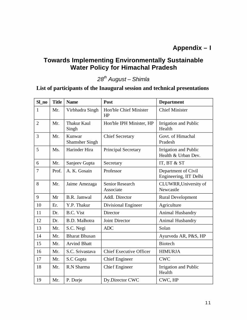
Appendix – I
Towards Implementing Environmentally Sustainable Water Policy for Himachal Pradesh
28th August – Shimla
List of participants of the Inaugural session and technical presentations Sl_no Title Name Post Department
1 Mr. Virbhadra Singh Hon'ble Chief Minister HP
Chief Minister
2 Mr. Thakur Kaul Singh
Hon'ble IPH Minister, HP Irrigation and Public Health
3 Mr. Kunwar Shamsher Singh
Chief Secretary Govt. of Himachal Pradesh
5 Ms. Harinder Hira Principal Secretary Irrigation and Public Health & Urban Dev.
6 Mr. Sanjeev Gupta Secretary IT, BT & ST
7 Prof. A. K. Gosain Professor Department of Civil Engineering, IIT Delhi
8 Mr. Jaime Amezaga Senior Research Associate
CLUWRR,University of Newcastle
9 Mr B.R. Jamwal Addl. Director Rural Development
10 Er. Y.P. Thakur Divisional Engineer Agriculture
11 Dr. B.C. Vist Director Animal Husbandry
12 Dr. B.D. Malhotra Joint Director Animal Husbandry
13 Mr. S.C. Negi ADC Solan
14 Mr. Bharat Bhusan Ayurveda AR, P&S, HP
15 Mr. Arvind Bhatt Biotech
16 Mr. S.C. Srivastava Chief Executive Officer HIMURJA
17 Mr. S.C Gupta Chief Engineer CWC
18 Mr. R.N Sharma Chief Engineer Irrigation and Public Health
19 Mr. P. Dorje Dy.Director CWC CWC, HP
12
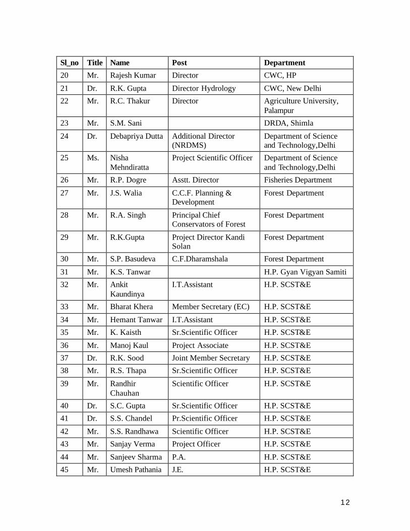
Sl_no Title Name Post Department
20 Mr. Rajesh Kumar Director CWC, HP
21 Dr. R.K. Gupta Director Hydrology CWC, New Delhi
22 Mr. R.C. Thakur Director Agriculture University, Palampur
23 Mr. S.M. Sani DRDA, Shimla
24 Dr. Debapriya Dutta Additional Director (NRDMS)
Department of Science and Technology,Delhi
25 Ms. Nisha Mehndiratta
Project Scientific Officer Department of Science and Technology,Delhi
26 Mr. R.P. Dogre Asstt. Director Fisheries Department
27 Mr. J.S. Walia C.C.F. Planning & Development
Forest Department
28 Mr. R.A. Singh Principal Chief Conservators of Forest
Forest Department
29 Mr. R.K.Gupta Project Director Kandi Solan
Forest Department
30 Mr. S.P. Basudeva C.F.Dharamshala Forest Department
31 Mr. K.S. Tanwar H.P. Gyan Vigyan Samiti
32 Mr. Ankit Kaundinya
I.T.Assistant H.P. SCST&E
33 Mr. Bharat Khera Member Secretary (EC) H.P. SCST&E
34 Mr. Hemant Tanwar I.T.Assistant H.P. SCST&E
35 Mr. K. Kaisth Sr.Scientific Officer H.P. SCST&E
36 Mr. Manoj Kaul Project Associate H.P. SCST&E
37 Dr. R.K. Sood Joint Member Secretary H.P. SCST&E
38 Mr. R.S. Thapa Sr.Scientific Officer H.P. SCST&E
39 Mr. Randhir Chauhan
Scientific Officer H.P. SCST&E
40 Dr. S.C. Gupta Sr.Scientific Officer H.P. SCST&E
41 Dr. S.S. Chandel Pr.Scientific Officer H.P. SCST&E
42 Mr. S.S. Randhawa Scientific Officer H.P. SCST&E
43 Mr. Sanjay Verma Project Officer H.P. SCST&E
44 Mr. Sanjeev Sharma P.A. H.P. SCST&E
45 Mr. Umesh Pathania J.E. H.P. SCST&E
13
Sl_no Title Name Post Department
46 Mr. D.P. Sinha Consevator Of Forest H.P.S.E.B
47 Mr. Shamsher Singh Chairman H.P.S.E.B
48 Dr. K.S. Katoch Subject Matter Specialist Horticulture Department
49 Mr. P.S Thakur Horticulture Department
50 Ms. Aparna Negi Reader, Economics deptt Himachal University
51 Mr. V.K. Malhotra HPVHA
52 Mr. J.N. Sharma Chief Engineering Irrigation and Public Health
53 Er. R.K. Jarhyan Executive Engineer Irrigation and Public Health
54 Ms. Anju Sharma Executive Engineer (D) Irrigation and Public Health
55 Mr. Bhajan Lal Asstt. Engineer (D) P&I Irrigation and Public Health
56 Mr. C.L. Sood S.E. P&I (UNIT II) Irrigation and Public Health
57 Mr. Deepak Aggarwal
Asstt. Engineer (D) Irrigation and Public Health
58 Mr. M.S. Kanwar S.E. Irrigation and Public Health
59 Mr. R.K. Dogra S.E. Irrigation and Public Health
60 Mr. R.K. Sharma Asstt. Engineer (D) P&I Irrigation and Public Health
61 Mr. Virender Sipayia
Executive Engineer (D) Irrigation and Public Health
62 Mr. R.S. Nagi Irrigation and Public Health
63 Mr. Achraj Bhandari Project Engineer IIT Delhi
64 Mr. Debajit Basuray Engineer INRM Consultants, New Delhi
65 Dr. Sandhya Rao Director INRM Consultants, New Delhi
66 Mr. Munish Sharma Project Engineer NIT, Hamirpur
67 Dr. Sushil Kapta Deputy Advisor Forestry PAPU
14
Sl_no Title Name Post Department
68 Dr. S.S. Negi Member Secretary PCB, HP
69 Mr. R.N. Sarangi Deputy Advisor WR Planning Commission, New Delhi
70 Mr. B.D. Sharma Director Information & Public Relations
71 Mr. Raghuvanshiram Scientist RRL Bhopal
72 Mr. Pawan Rana Director Sandesh, Hamirpur
73 Mr. Tegu Sharma Press secretary(CM) CM office
74 Mr. R.S. Chauhan SJVNL
75 Mr. Pratap CEO Techhouse,New Delhi
76 Mr. R.C. Thakur Urban Development, Shimla
77 Mr. Ajay Garg Urban Development, Shimla
78 Mr. Prem Kumar Principal Secretary Welfare & Coop. Deptt.
79 Mr. Sunandan Program Officer (NRM) Winrock International India, Delhi
80 Mr. Vinay Tondon Program Manager Winrock International India, Delhi
81 Mr. J.S. Bajwa Chief Engineer (Retd.)
82 Ms. Renu Dhar Addl. Chief Secy (Industries)
Govt. of Himachal Pradesh
83 Mr. Yogesh Khanna Principal Secretary Forest Department
84 Ms. Purnima Chauhan
Addl. Secretary Irrigation and Public Health
85 Mr. J.R. Katwal Addl. Secretary Science And Technology
86 Dr. H.R. Sharma Dy. Director Agriculture
87 Er. Daljeet Awasthi Junior Engineer O/o Dy. Director of Agriculture, Palampur
88 Dr. Vinod Sharma Agriculture Development Officer
O/o D.D.A Hamirpur
89 Dr. Prithvi Chand Sharma
Subject Matter Specialist (Project Cell Shimla)
90 Er. Parmod Sood Sub Divisional Soil Cons. Officer
Agriculture
15
Sl_no Title Name Post Department
91 Dr. Pankaj Khullar MD HP Forest Corporation
92 Mr. Ravi Chopra PSI Dehradun
93 Mr. Vaidya CDRI Shimla
94 Dr. O.P. Bhuraita H.P. Gyan Vigyan Samiti
95 Er. K.L. Thakur Sr. P.O. HIMURJA
96 Mr. Shamsher Singh Deputy Director Rural Development
97 Mr. Virendra Sharma
Environmental Advisor DFID, India
98 Mr. Tarun Ghawana INRM Consultants, New Delhi
99 Mr. Balaji Angamuthu
IIT Delhi
100 Er. A.S. Acharya Chief Engineer (Retd.) Irrigation and Public Health
101 Er. Abhigya Chauhan
Chief Engineer (Retd.) Irrigation and Public Health
102 Dr. Alka Sharma Scientific Officer H.P. SCST&E
103 Mr. Ashok Thakur Principal Secretary Home ,Vlg. & Tourism, HP
104 Mr B.R. Sharma Executive Engineer Irrigation and Public Health
105 Mr. B.S. Chauhan Principal Secretary Personnel F&S Deptt., HP
106 Mr. D.K. Negi Executive Engineer P&I (Unit II)
Irrigation and Public Health
107 Dr. J.C. Rana Director Agriculture
108 Mr. J.D. Bhardwaj Chief Engineer (Retd.)
109 Dr. K.K. Jindal Director R&E Dr Y.S.Parmar Univ., HP
110 Mr. P.C. Kapoor Secretary Health & FW Deptt., HP
111 Ms. Pooja Sharma Programme officer H.P. Voluntary Health Organisation
112 Mr. Pushpander Rana
DFO Ponta Sahib, HP
113 Mr. R.K. Verma CEO Sai Engineering, HP
114 Dr. R.L. Chauhan Member Civil H.P.S.E.B
115 Mr. Rajan Mahajan Executive Director H.P Voluntary Health Org
16
Sl_no Title Name Post Department
116 Mr. Rajesh Solankey Scientific Officer H.P. SCST&E
117 Mr. S.C. Negi Principal Secretary PWD & TD & Housing Deptt., HP
118 Mr. S.P. Lohia Executive Engineer Irrigation and Public Health
119 Er. T.L. Sharma Engineer- in-Chief (Retd.) Irrigation and Public Health
120 Mr. Tarun Gupta Environment Engineer H.P. SCST&E
17
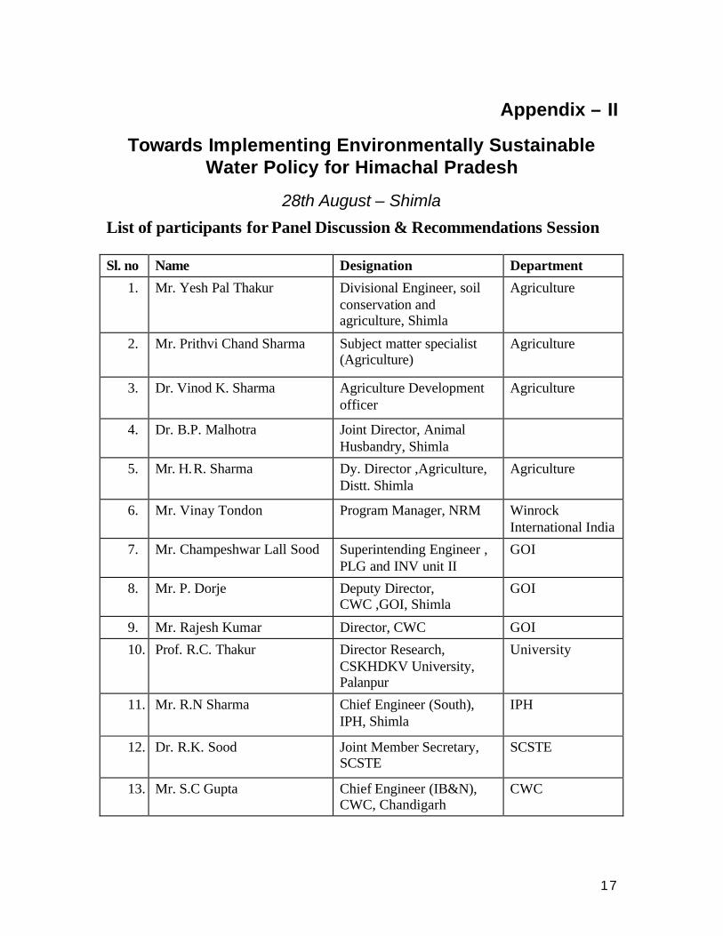
Appendix – II
Towards Implementing Environmentally Sustainable Water Policy for Himachal Pradesh
28th August – Shimla
List of participants for Panel Discussion & Recommendations Session Sl. no Name Designation Department
1. Mr. Yesh Pal Thakur Divisional Engineer, soil conservation and agriculture, Shimla
Agriculture
2. Mr. Prithvi Chand Sharma Subject matter specialist (Agriculture)
Agriculture
3. Dr. Vinod K. Sharma Agriculture Development officer
Agriculture
4. Dr. B.P. Malhotra Joint Director, Animal Husbandry, Shimla
5. Mr. H.R. Sharma Dy. Director ,Agriculture, Distt. Shimla
Agriculture
6. Mr. Vinay Tondon Program Manager, NRM Winrock International India
7. Mr. Champeshwar Lall Sood Superintending Engineer , PLG and INV unit II
GOI
8. Mr. P. Dorje Deputy Director, CWC ,GOI, Shimla
GOI
9. Mr. Rajesh Kumar Director, CWC GOI
10. Prof. R.C. Thakur
Director Research, CSKHDKV University, Palanpur
University
11. Mr. R.N Sharma
Chief Engineer (South), IPH, Shimla
IPH
12. Dr. R.K. Sood
Joint Member Secretary, SCSTE
SCSTE
13. Mr. S.C Gupta Chief Engineer (IB&N), CWC, Chandigarh
CWC
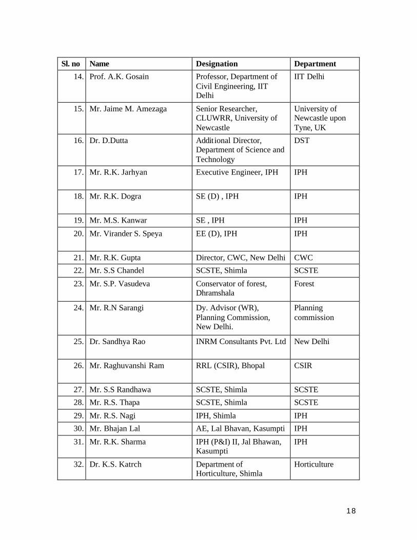
18
Sl. no Name Designation Department
14. Prof. A.K. Gosain
Professor, Department of Civil Engineering, IIT Delhi
IIT Delhi
15. Mr. Jaime M. Amezaga
Senior Researcher, CLUWRR, University of Newcastle
University of Newcastle upon Tyne, UK
16. Dr. D.Dutta
Addit ional Director, Department of Science and Technology
DST
17. Mr. R.K. Jarhyan
Executive Engineer, IPH IPH
18. Mr. R.K. Dogra
SE (D) , IPH IPH
19. Mr. M.S. Kanwar SE , IPH IPH
20. Mr. Virander S. Speya EE (D), IPH IPH
21. Mr. R.K. Gupta Director, CWC, New Delhi CWC
22. Mr. S.S Chandel SCSTE, Shimla SCSTE
23. Mr. S.P. Vasudeva Conservator of forest, Dhramshala
Forest
24. Mr. R.N Sarangi Dy. Advisor (WR), Planning Commission, New Delhi.
Planning commission
25. Dr. Sandhya Rao INRM Consultants Pvt. Ltd New Delhi
26. Mr. Raghuvanshi Ram RRL (CSIR), Bhopal CSIR
27. Mr. S.S Randhawa SCSTE, Shimla SCSTE
28. Mr. R.S. Thapa SCSTE, Shimla SCSTE
29. Mr. R.S. Nagi IPH, Shimla IPH
30. Mr. Bhajan Lal AE, Lal Bhavan, Kasumpti IPH
31. Mr. R.K. Sharma IPH (P&I) II, Jal Bhawan, Kasumpti
IPH
32. Dr. K.S. Katrch Department of Horticulture, Shimla
Horticulture
19
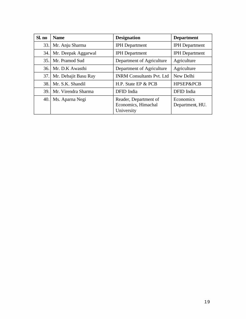
Sl. no Name Designation Department
33. Mr. Anju Sharma IPH Department IPH Department
34. Mr. Deepak Aggarwal IPH Department IPH Department
35. Mr. Pramod Sud Department of Agriculture Agriculture
36. Mr. D.K Awasthi Department of Agriculture Agriculture
37. Mr. Debajit Basu Ray INRM Consultants Pvt. Ltd New Delhi
38. Mr. S.K. Shandil H.P. State EP & PCB HPSEP&PCB
39. Mr. Virendra Sharma DFID India DFID India
40. Ms. Aparna Negi Reader, Department of Economics, Himachal University
Economics Department, HU.
20
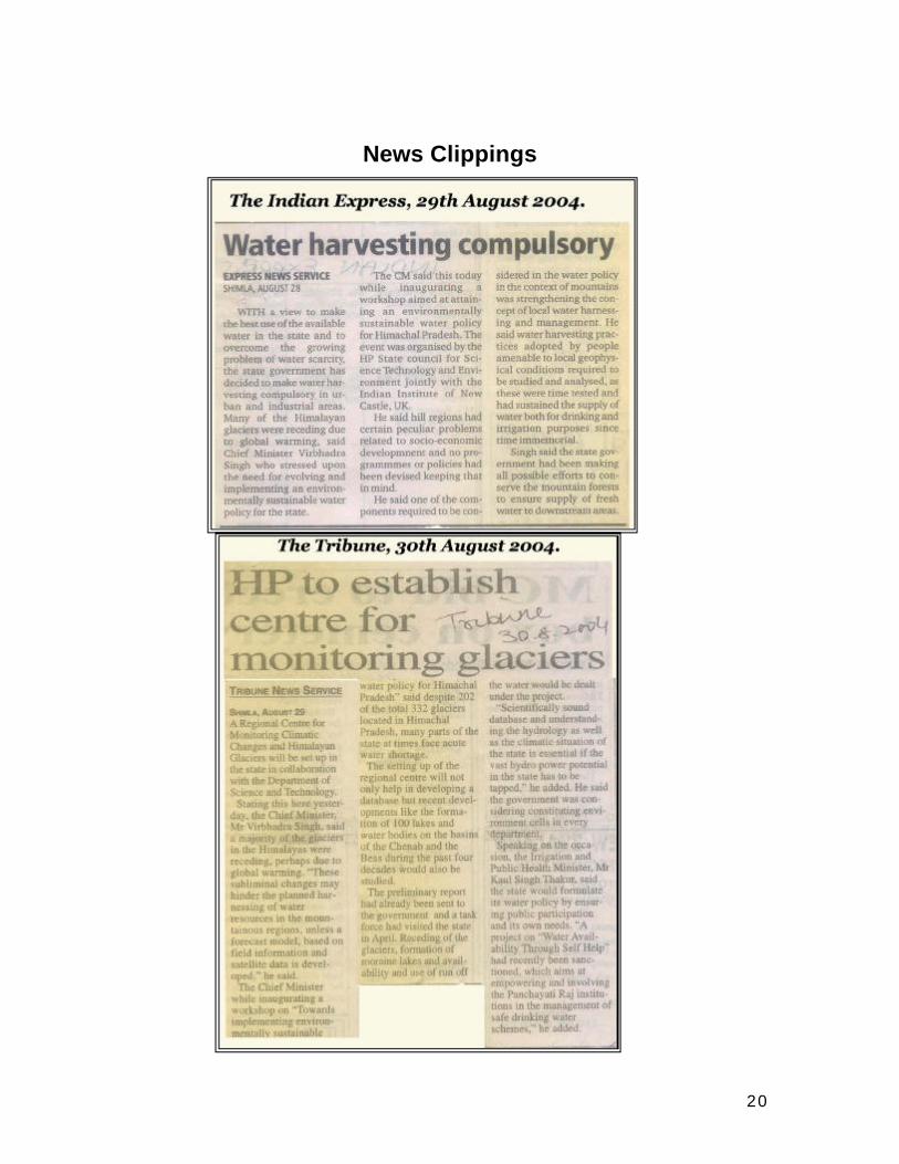
News Clippings
21
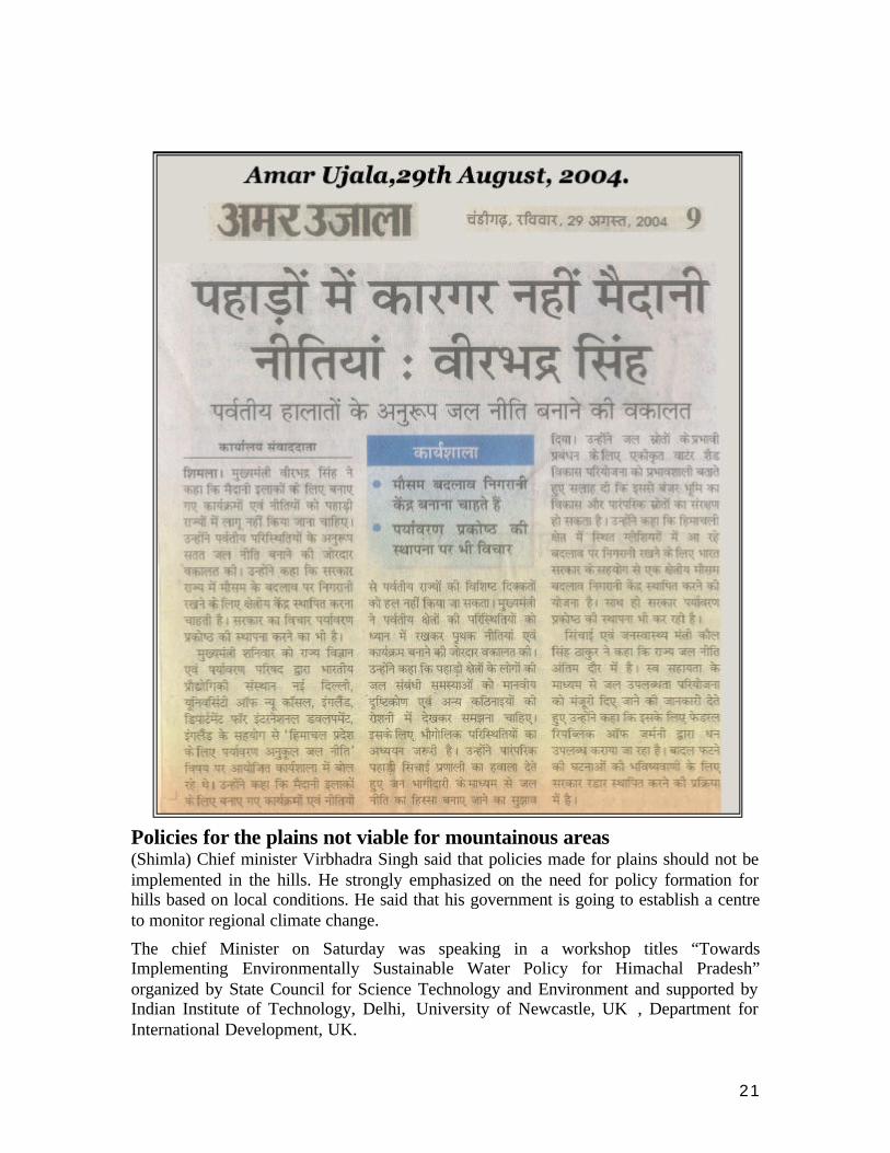
Policies for the plains not viable for mountainous areas (Shimla) Chief minister Virbhadra Singh said that policies made for plains should not be implemented in the hills. He strongly emphasized on the need for policy formation for hills based on local conditions. He said that his government is going to establish a centre to monitor regional climate change.
The chief Minister on Saturday was speaking in a workshop titles “Towards Implementing Environmentally Sustainable Water Policy for Himachal Pradesh” organized by State Council for Science Technology and Environment and supported by Indian Institute of Technology, Delhi, University of Newcastle, UK , Department for International Development, UK.
22
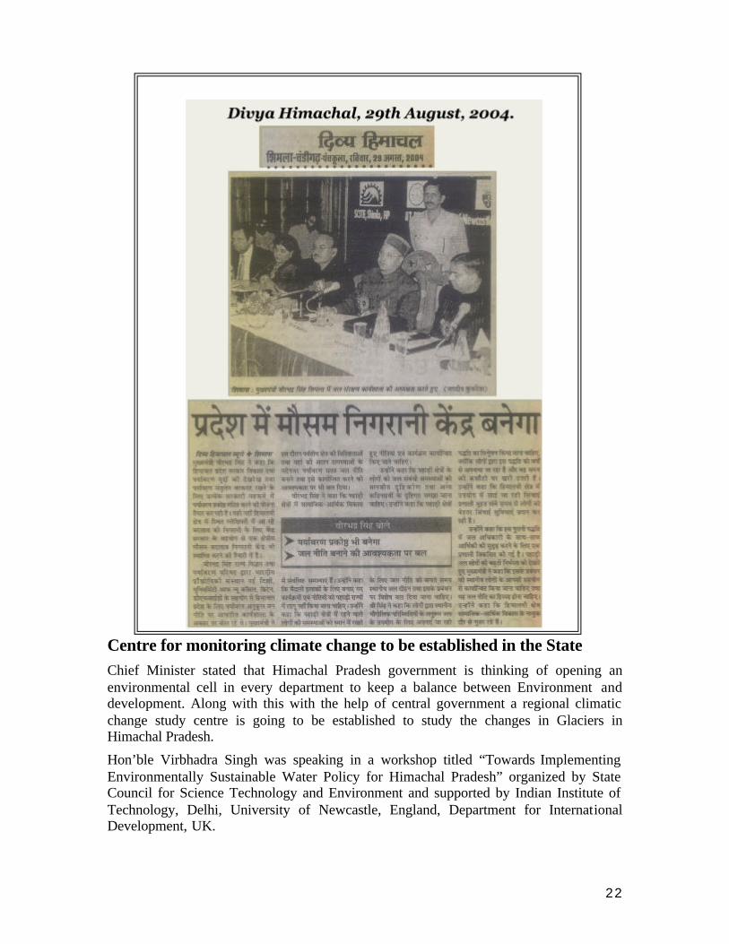
Centre for monitoring climate change to be established in the State Chief Minister stated that Himachal Pradesh government is thinking of opening an environmental cell in every department to keep a balance between Environment and development. Along with this with the help of central government a regional climatic change study centre is going to be established to study the changes in Glaciers in Himachal Pradesh.
Hon’ble Virbhadra Singh was speaking in a workshop titled “Towards Implementing Environmentally Sustainable Water Policy for Himachal Pradesh” organized by State Council for Science Technology and Environment and supported by Indian Institute of Technology, Delhi, University of Newcastle, England, Department for International Development, UK.
23
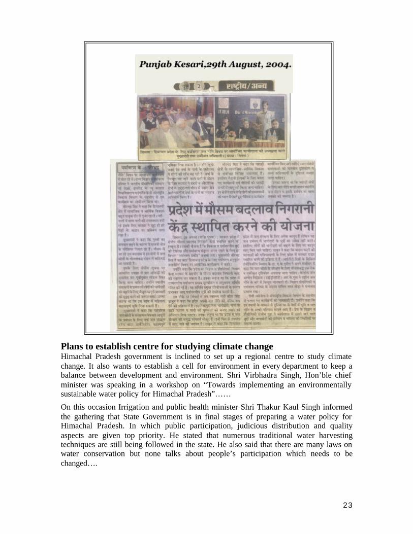
Plans to establish centre for studying climate change Himachal Pradesh government is inclined to set up a regional centre to study climate change. It also wants to establish a cell for environment in every department to keep a balance between development and environment. Shri Virbhadra Singh, Hon’ble chief minister was speaking in a workshop on “Towards implementing an environmentally sustainable water policy for Himachal Pradesh”……
On this occasion Irrigation and public health minister Shri Thakur Kaul Singh informed the gathering that State Government is in final stages of preparing a water policy for Himachal Pradesh. In which public participation, judicious distribution and quality aspects are given top priority. He stated that numerous traditional water harvesting techniques are still being followed in the state. He also said that there are many laws on water conservation but none talks about people’s participation which needs to be changed….
24
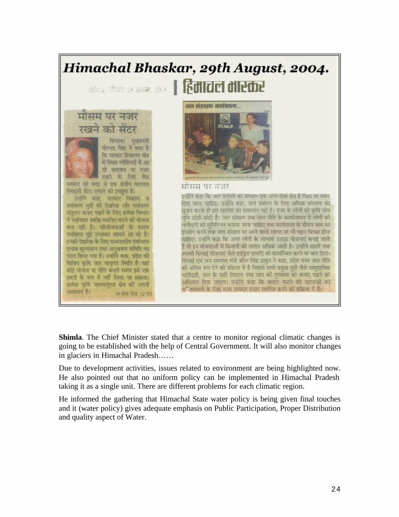
Shimla. The Chief Minister stated that a centre to monitor regional climatic changes is going to be established with the help of Central Government. It will also monitor changes in glaciers in Himachal Pradesh……
Due to development activities, issues related to environment are being highlighted now. He also pointed out that no uniform policy can be implemented in Himachal Pradesh taking it as a single unit. There are different problems for each climatic region.
He informed the gathering that Himachal State water policy is being given final touches and it (water policy) gives adequate emphasis on Public Participation, Proper Distribution and quality aspect of Water.

25
Official Press Release – Govt. of Himachal Pradesh.
FORMULATE ENVIRONMENTALLY SUSTAINABLE WATER POLICY ---SHRI VIRBHADRA SINGH
No. 780/2004-PUB PRESS NOTE 28th August, 2004
Shri Virbhadra Singh, Chief Minister has stressed the need for evolving and implementing environmentally sustainable Water Policy for the State keeping in view the specifications of mountain regions and their unique problems. He was inaugurating a workshop on "Towards implementing Environmentally Sustainable Water Policy for Himachal Pradesh” organized by the Himachal Pradesh State Council for Science Technology and Environment in collaboration with Indian Institute of Technology, Delhi, Centre for Land Use and Water Resource Research, University of New Castle, U.K., Department for International Development (DFID) U.K. here today. Shri Virbhadra Singh reiterated that hill regions have certain peculiar problems related to socio-economic development. No programme or policy devised keeping in view the plain areas should be foisted upon hill States. The strategy evolved should also keep in mind that thecommunities living in the upper regions of watersheds are provided share of benefits from harnessing upstream mountain resources. He said that the linkage of hydro climate, human intervention and biophysical process operating in the higher reaches of watersheds needed to be understood. One of the important components required to be considered in the water policy in the context of mountains was strengthening the concept of local water harnessing and management, he added. He said that water harvesting practices adopted by people amenable to local geophysical conditions are required to be studied and analysed, as these are time tested and have sustained supply of water both for drinking and irrigation purposes since time immemorial. Shri Virbhadra Singh said that irrigation systems which have existed in Himalayan tract have evolved over a very long period of time. The old practices incorporated water rights of the user groups and the system developed around ease of operation, economy of efforts etc. Considering the ever-growing demand for mountain water resources, its management in close partnership with local communities should be an integral part of any water policy; Chief Minister Shri Virbhadra Singh said that mountainous regions are also passing through a very critical phase of socio-economic development. As a result of development interventions, stability and integrity of watersheds have been affected considerably. The ecological degradation in the mountains is a serious problem. He said that State Government have been making all possible efforts to conserve the mountain forests to ensure supply of fresh water to down stream areas and in fact we have voluntarily imposed ban on green felling to achieve this objective. Chief Minister said that most of the Himalayan glaciers were receding perhaps due to global warming. These subliminal changes may hinder planned harnessing of water resources in the mountain regions, unless a forecast model based on field information and satellite data is developed. Shri Virbhadra Singh said that in order

26
to replenish the traditional water sources and to manage water supplies, rain water harvesting can play a vital role. The interest in domestic utilization of rain water run off has grown. In order to harness the rain water run-off, the State Government has taken a policy decision to make rain water harvesting compulsory in urban and industrial areas inall buildings of more than 1000 sq m plinth area. New and efficient methods of water use and harnessing are required to be identified and evolved for implementation with active public participation. Chief Minister said that integrated watershed development was a sine qua non for effective management of water resources. Integrated Watershed programme with local participation was also needed for conserving waste land, plants and natural resources. Adoption of scientific agricultural and horticultural practices will help in preserving ecological balance of mountain and hilly areas. He stressed for strengthening the existing legislative measures to enhance people's participation in management of local resources. He said that women play an important role in preservation of water resources by sharing major responsibilities for agriculture, forests and other natural resource management activities. Women now take active part in various cooperative groups and water committees formed at village level. He said that the need was to evolve a strategy for further empowering women in management of all kinds of resources including water
REGIONAL CENTRE FOR MONITORING CLIMATE CHANGES
Shri Virbhadra Singh said that Government intends to set up a Regional Centre for Monitoring climate changes and Himalayan glaciers in collaboration with Department of Science and Technology, Government of India. Chief Minister said that State Government was planning to constitute Environment Cells in each department so that the development and environmental issues are taken care off in an objective manner. A State level Environment Impact Assessment and Monitoring Committee has also been set up to look into the issues of development vis-à-vis the environmental concerns arising out of major projects. Chief Minister said that Himachal Pradesh has diverse agro-climatic conditions and therefore cannot be construed as single unit while planning or policy formation. Each agro climate zone has its own potential, problems and peculiarities. While forming water policy all these factors should be taken into consideration. The operation and maintenance or water system is another area of concern. Mere creation of more and more infrastructure for water management without looking into the maintenance and ownership aspects will not yield desired results. The inhabitants of this State have small holdings. He said that people's participation in operation and maintenance is must. This workshop must aim at identifying the extent to which cost is to be borne by the users under different kinds of schemes. For instance, it may be difficult for the people of the State to bear the cost of electricity in case of lift schemes. He said there was also need to adopt a simpler and cost effective method of irrigation like hydrams. Shri Kaul Singh Thakur, Irrigation and Public Health Minister said that Himachal was in the process of finalizing its State Water Policy which would address all relevant and important issues pertaining to community participation, proper distribution and maintenance of water quality. He said that water was a finite resource and need of the
27
hour was to conserve every drop of water. Himachal has a rich tradition of conservation which needs to be emphasized and revived. Shri Kaul Singh Thakur said that State has number of laws but these do not address the issue of participatory approach to management of water. He said that process of making relevant amendment in our laws and also considering enactment of new laws which would not only encourage participation but would also regulate use of scarce water has started. He said that a project named "Water Availability Through Self Help (WASH) has been recently sanctioned and is being funded by the Federal Republic of Germany. This project aims at empowering and involving the Panchayati Raj Institutions in management and implementation of safe drinking water schemes. He said that State was also in the process of having RADAR installed for facilitating in forecasting cloudbursts which have become a common phenomenon in recent years. He expressed that the workshop, with the active participation of NGOs will address the various issues flagged particularly on participatory approach. Prof. A.K. Gosain, Department of Civil Engineering, IIT Delhi, while delivering his keynote address stressed on the need of using the integrated approach for proper planning and management of this very precious resource. He emphasized that the real bottleneck in this approach is the lack of framework to collate the available data residing in various line departments. Mr. R.K. Gupta, Director (Hydrology), Central Water Commission, New Delhi provided an overview of the salient features of National Water Policy. Mr. Bharat Khera, Member Secretary, SCST&E, proposed the vote of thanks. Mr. Jaime M Amezaga from Centre for Landuse and Water Resources Research, UK shared with the audience some of the recent initiatives being taken by the CLUWRR, University of Newcastle Upon Tyne, UK, with the help of the Department for International Development (DFID), UK. These initiatives are geared towards generation of improved outcomes on land and water policies in a network of countries. Shri Sanjeev Gupta, Secretary, Science and Technology in his address welcomed the dignitaries, sponsors and the participants for their positive response and contribution. He elaborated on the purpose and need of such interaction for positioning the society to face the challenges of present and future scarcity in water resources and the need for evolving environmentally sustainable solutions. Kanwar Shamsher Singh, Chief Secretary, Smt. Harinder Hira, Principal Secretary (IPH) and other senior officers of the State Government were present on the occasion among others. The senior officers, Scientists and planners from Govt. of India DFID and State Government are participating in the workshop.

28
Message from Mr. John Palmer
“Towards implementing environmentally sus tainable water policy for Himachal Pradesh”
Workshop hosted by the State Council for Science, Technology and Environment, Himachal Pradesh
Shimla, 28 August 2004 Your Excellency the Chief Minister of Himachal Pradesh, other Distinguished Delegates
The Forestry Research Programme of the United Kingdom Department for International Development offers its best wishes for the success of your workshop today. The support from FRP for the project which has organised the workshop today is covered by DFID central funding for forestry research. This complements DFID’s Country Plan for India entitled “Partnership or Development”, February 2004. This Country Plan in turn supports the Government of India tenth 5-year plan 2002-2007. Both India and the UK are firmly in support of attainment of the Millennium Development Goals.
The UK, through DFID, contributes less than 0.06% of the GDP of India. In order to make best use of our relatively tiny resources, we have to focus our attention on the priority problems where we believe that UK-based expertise, together with specialist knowledge which we can organise from other countries, can most effectively contribute to the analysis, development and shaping of Central and State Government policy, all the while respecting the sovereignty of India.
The DFID Country Plan responds in particular to the request from the Government of India for financial assistance to poverty alleviation, including technical support for policy shaping. The background which is mentioned in the DFID Country Plan is the shift in the tenth 5-year plan from food security to agricultural productivity. In some places, the enhancement of agricultural productivity, especially for vegetable cropping in the dry season in advance of a water audit, is leading to increasing demands on groundwater. Where this demand is greater than the natural capacity for recharge, the water table may drop so quickly and so deeply that hand-dug wells in villages can no longer provide domestic or smallholder supplies. The village people may then be forced to depend upon expensive water brought in by tankers. This water may cost much more than domestic supplies provided through reticulated systems in urban areas. So, unintentionally, the pressure for rapid increase in agricultural productivity may actually lead to increased poverty.

29
In addition, increased pumping of ground water may lead to decreased run-off into rivers. You are much better informed than me about the consequences of the decline in river flows, such as in the Cauvery catchment. The closure or near-closure of catchments mean that downstream users and consumers will have their supplies reduced especially in the dry season, leading to shortages and increased poverty in both rural and urban areas, and the degradation of the ecosystems which depend upon perennial flows of river water.
Recognition of the need to manage both water demand and water supply provides the opening for the technical support which can be provided although on a regrettably small scale from the DFID central funds for strategic, multi-country research. The team which has organised this workshop draws on research findings from Costa Rica in Central America, Grenada in the Caribbean, South Africa and Tanzania in Africa as well as the wealth of knowledge which is available and increasing daily in the States of India.
I mention these countries because the problems faced by India are also faced by other developed and developing countries. DFID believes that the sharing of experiences and the organisation of joint research between affected countries is both technically efficient and cost-effective. Of course, the general experiences which can be synthesised across countries still need to be examined carefully and adapted locally to the particular situations of each State. The DFID Forestry Research Programme hopes that this workshop provides an opportunity for the presentation of the interim findings from the research in HP, and hopes that the studies will be incorporated beneficially into the policies and practices for the management of water supply and demand in this State.
Thank you so much for providing the opportunity for this multi-country experience to be presented to you today.
Message from: Mr. John Palmer Manager of DFID's centrally-funded Forestry Research Programme (FRP) Natural Resources International Limited Park House, Bradbourne Lane, Ditton, Aylesford, Kent ME20 6SN, U.K.
30
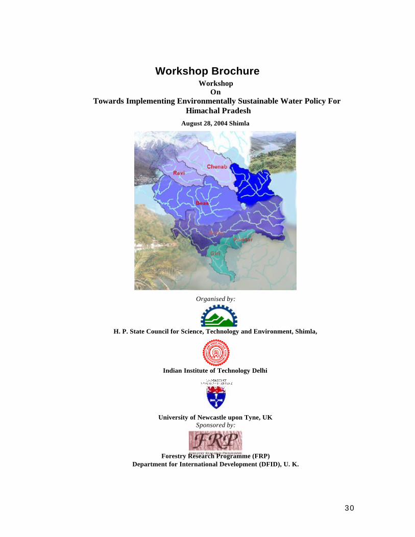
Workshop Brochure Workshop
On Towards Implementing Environmentally Sustainable Water Policy For
Himachal Pradesh August 28, 2004 Shimla
Organised by:
H. P. State Council for Science, Technology and Environment, Shimla,
Indian Institute of Technology Delhi
University of Newcastle upon Tyne, UK Sponsored by:
Forestry Research Programme (FRP) Department for International Development (DFID), U. K.
31
Introduction
The National Water Resources Council (NWRC), the apex policy making body for water resources development in India, formulated the 1987 and 2002 national policies which were respectively placed before parliament and circulated to the central ministries and states for implementation. Progress in the implementation is considered, reviewed and reported to the NWRC by the National Water Board constituted solely for this role. Water is a state subject and the administrative control and responsibility for water development rests with the various State Departments and Corporations.
The National Water Policy 2002 recognises that water resource development should be planned for in hydrological units, or watersheds. By taking into account multi-sectoral factors such as ground water, surface water and other environmental considerations the sustainability in the quality and quantity of water resources will be achieved.
Implementation Difficulties
In actual practice, a large number of projects, varying from water resource to watershed development projects with large overlap of objectives and tackled by various line departments at the state level and various ministries at the central level, are being taken up. Although they act upon the common water resource, they lack the proper coordination which is essential for ensuring collective sustainability of such acts and interventions.
At the local level, integrated watershed management planning should be a comprehensive multi-resource management planning process involving all stakeholders within the watershed, who together as a group, cooperatively work toward identifying the watershed’s resource issues and concerns, as well as developing and implementing watershed plans with solutions that are environmentally, socially and economically sustainable at various levels of connectivity of the watersheds.
The integrated watershed development efforts in India go back to 1970. There have been many changes in the implementation strategies during the course of these years. Until 1995 watershed development projects were officially co-ordinated by multi-sectoral programmes (with differing objectives) launched by the Government of India (GoI). After review in 1999 by the Ministry of Rural Development (MoRD) and the Ministry of Agriculture (MoA), a common set of operation guidelines, objectives, strategies and expenditure norms were established in 2001 for watershed development programmes. The common guidelines encouraged the active involvement of non-governmental organisations, semi-governmental institutions and private enterprises, universities and training institutions. New Guidelines for “Haryali” were issued in 2003 giving a central role to the Panachayat bodies.
32
In spite of the success of many watershed development projects, concerns are being raised that watershed development programmes are still firmly based on the belief that water is essentially an infinite resource and can be managed through the continual development of ground water abstraction together with the implementation of water harvesting techniques.
The present implementation of the watershed management programmes has many shortcomings. Some of the major ones include: (1) ignoring the hydrological boundaries of the watersheds, (2) ignoring the connectivity of the watersheds and treating each watershed as a stand alone unit, where activities within the watershed are considered independent of their impacts downstream (3) ignoring the hydrological characteristics of the watershed while deciding on the possible interventions, (4) non-availability of evaluation procedures, and (5) ignoring the environmental sustainability aspects.
Similarly, there are many other programmes and projects such as water resources development, drinking water programme, forestry programme, hydropower development, etc., which are dealing with the same water resource and need a common framework for its proper planning and development. It may also be appropriate to take account of climate change impacts to place the society in a better position to cope up with the enhanced spatial and
temporal variability of this precious resource.
What Needs to be Done
The above shortcomings are not always on account of ignorance but are due more to the non-availability of the required tools and a unified framework within which the issues can be addressed. It is important to understand that integrated watershed management should not merely imply the maintenance of an inventory of different activities to be undertaken within a hydrological unit. It also requires the collation of relevant information needed to evaluate the cause and effect of all the proposed actions within the watershed. The watershed is the smallest unit where the evaluation of man induced impacts upon water resources becomes possible. Therefore although the ‘panchayat’ (cluster of villages) remains the preferred implementation unit, the watershed should be the evaluation unit used in assessing impacts.
Since a watershed is considered as the smallest unit of a drainage basin, a hydrological framework that can keep track of the inter-connection of these units is essential. The impacts resulting from actions taken at the watershed level will be experienced at a higher level within the drainage basin, and the assessment of these impacts will require the availability of the framework.
The establishment of this common hydrological framework is a necessary step for the implementation of integrated water resource management in HP. Such a framework will require regular
33
maintenance and updation to reflect fully the most accurate ground truthed data and the infrastructure requirements for planning and management of the relevant planning departments. Such a framework, once available, could be used by all the line departments and updated by the relevant departments which have designated areas of jurisdiction over the data entry.
Therefore, there is a definite need for generation, collation and dissemination of information between the various stakeholders of the water sector. This can be achieved by putting a framework at the state level built as a standardised network connecting various line departments for sharing and updating scientifically validated information. Such information shall also supplement the information requirements of effective e-governance.
Objective of the Workshop
The collaborative project LOWFLOWS (R8171), funded by Forest Research Programme of DFID, is aimed at contributing to local understanding of natural resources management and scientific knowledge. In addition to the University of Newcastle Upon Tyne, UK and IIT Delhi, the other institutions involved in the project are Winrock International India National Institute of Technology in Hamirpur (HP), Regional Research Laboratory in Bhopal (MP), State Council for Science, Technology and Environment, Shimla and Department of Science and Technology, New Delhi. One of the
two pilot watersheds selected is Chabutra watershed in Himachal Pradesh. By calibrating a hydrological model for different land uses, the project will be able to assess and demonstrate what impacts changes in land use, particularly forestry and irrigated agriculture, will have on water availability, both within the watershed in which the land use change is taking place and within the wider macro-watershed that is impacted downstream, providing the basis of a decision support system.
The proposed workshop shall initiate discussion on the issues of integration and dissemination of information for planning and management of water resources with the key stakeholders with the aim to instigate sustainable policy implementation and management strategies.
Programme
Sh. Virbhadra Singh Hon’ble Chief Minister of Himachal Pradesh has very kindly agreed to inaugurate the workshop. Many experts from different organisation including IIT, DFID shall deliver keynote addresses covering various aspects of water resources/watershed management and bringing about a much-desired cooperation between implementing organisations.
The workshop shall consist of two sessions. The forenoon session will have keynote addresses from experts in which approximately 140 participants will take part, this will be followed in the afternoon by discussion on the subject by a core
34
group consisting of 30-40 participants. This group shall draw recommendations for implementation of a sustainable water resources policy in the state.
Contact Addresses
Dr. R. K. Sood Joint Member Secretary, H. P. Council for Science, Technology & Environment, 34, SDA Complex, Kasumpti Shimla-171009 Ph: (0177) 2620998 ; 221223 Fax: (0177) 2620998 E-mail: [email protected] Prof. A. K. Gosain Department of Civil Engineering Indian Institute of Technology Delhi Hauz Khas New Delhi – 110 016 Ph: (011) 26591186 ; 26596448 Fax: (011) 26581117 E-mail: [email protected]
35
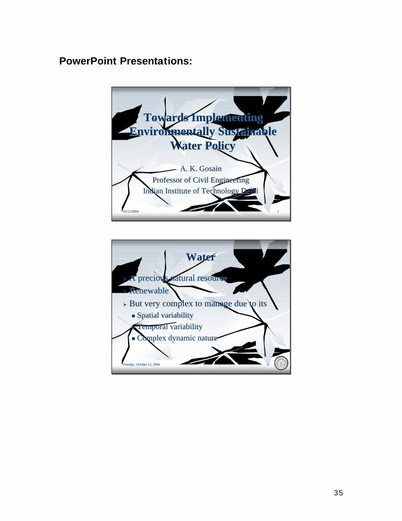
PowerPoint Presentations:
10/12/200410/12/2004 11
Towards Implementing Towards Implementing Environmentally Sustainable Environmentally Sustainable
Water PolicyWater Policy
A. K. A. K. GosainGosainProfessor of Civil EngineeringProfessor of Civil Engineering
Indian Institute of Technology DelhiIndian Institute of Technology Delhi
Tuesday, October 12, 2004Tuesday, October 12, 2004 22
WaterWater
ØØ A precious natural resourceA precious natural resourceØØ Renewable Renewable ØØ But very complex to manage due to itsBut very complex to manage due to itsnn Spatial variabilitySpatial variabilitynn Temporal variabilityTemporal variabilitynn Complex dynamic natureComplex dynamic nature
36
Tuesday, October 12, 2004Tuesday, October 12, 2004 33
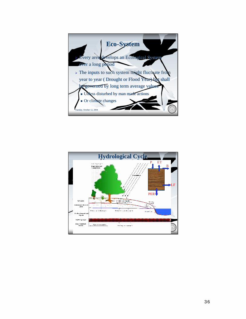
EcoEco--SystemSystem
ØØ Every area develops an Ecological System Every area develops an Ecological System over a long period over a long period
ØØ The inputs to such system might fluctuate from The inputs to such system might fluctuate from year to year ( Drought or Flood Year) but shall year to year ( Drought or Flood Year) but shall be governed by long term average valuesbe governed by long term average values
nn Unless disturbed by man made actionsUnless disturbed by man made actions
nn Or climate changesOr climate changes
Tuesday, October 12, 2004Tuesday, October 12, 2004 44
Hydrological CycleHydrological CycleP ET
R
PER
LF
37
Tuesday, October 12, 2004Tuesday, October 12, 2004 55
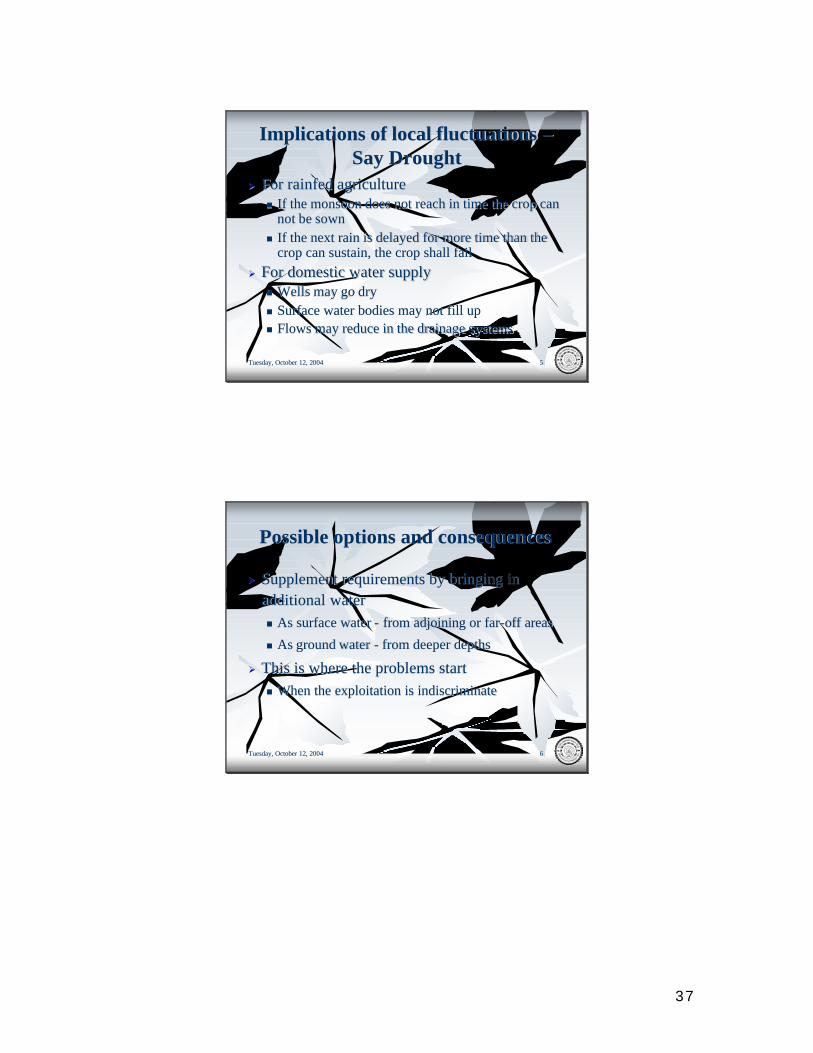
Implications of local fluctuations Implications of local fluctuations ––Say DroughtSay Drought
ØØ For For rainfedrainfed agricultureagriculturenn If the monsoon does not reach in time the crop can If the monsoon does not reach in time the crop can
not be sownnot be sownnn If the next rain is delayed for more time than the If the next rain is delayed for more time than the
crop can sustain, the crop shall fail crop can sustain, the crop shall fail ØØ For domestic water supplyFor domestic water supply
nn Wells may go dryWells may go drynn Surface water bodies may not fill upSurface water bodies may not fill upnn Flows may reduce in the drainage systemsFlows may reduce in the drainage systems
Tuesday, October 12, 2004Tuesday, October 12, 2004 66
Possible options and consequencesPossible options and consequences
ØØ Supplement requirements by bringing in Supplement requirements by bringing in additional water additional water nn As surface water As surface water -- from adjoining or farfrom adjoining or far--off areasoff areas
nn As ground water As ground water -- from deeper depthsfrom deeper depths
ØØ This is where the problems startThis is where the problems startnn When the exploitation is indiscriminateWhen the exploitation is indiscriminate
38
Tuesday, October 12, 2004Tuesday, October 12, 2004 77
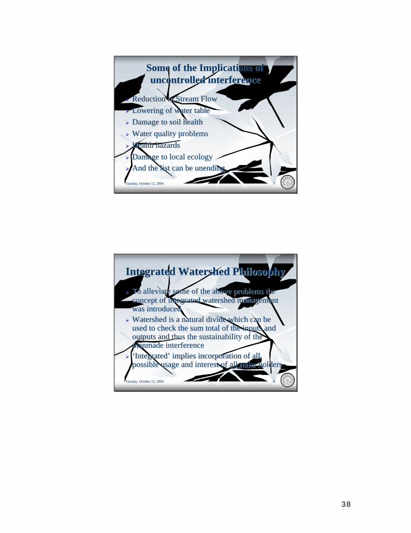
Some of the Implications of Some of the Implications of uncontrolled interferenceuncontrolled interference
ØØ Reduction in Stream FlowReduction in Stream FlowØØ Lowering of water tableLowering of water tableØØ Damage to soil healthDamage to soil healthØØ Water quality problemsWater quality problemsØØ Health hazardsHealth hazardsØØ Damage to local ecologyDamage to local ecologyØØ And the list can be unending And the list can be unending
Tuesday, October 12, 2004Tuesday, October 12, 2004 88
Integrated Watershed PhilosophyIntegrated Watershed Philosophy
ØØ To alleviate some of the above problems the To alleviate some of the above problems the concept of integrated watershed management concept of integrated watershed management was introducedwas introduced
ØØ Watershed is a natural divide which can be Watershed is a natural divide which can be used to check the sum total of the inputs and used to check the sum total of the inputs and outputs and thus the sustainability of the outputs and thus the sustainability of the manmade interferencemanmade interference
ØØ ‘Integrated’ implies incorporation of all ‘Integrated’ implies incorporation of all possible usage and interest of all stake holders possible usage and interest of all stake holders
39
Tuesday, October 12, 2004Tuesday, October 12, 2004 99
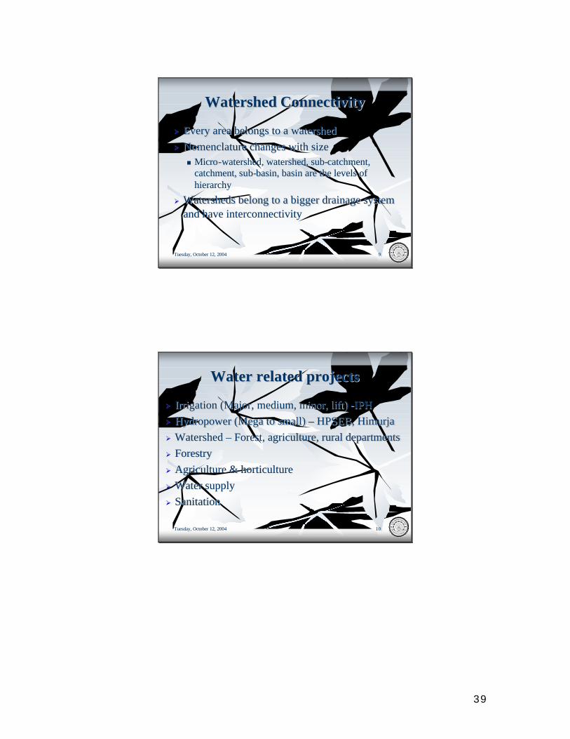
Watershed ConnectivityWatershed Connectivity
ØØ Every area belongs to a watershedEvery area belongs to a watershedØØ Nomenclature changes with sizeNomenclature changes with size
nn MicroMicro --watershed, watershed, subwatershed, watershed, sub--catchmentcatchment, , catchmentcatchment, sub, sub--basin, basin are the levels of basin, basin are the levels of hierarchyhierarchy
ØØ Watersheds belong to a bigger drainage system Watersheds belong to a bigger drainage system and have interconnectivity and have interconnectivity
Tuesday, October 12, 2004Tuesday, October 12, 2004 1010
Water related projectsWater related projects
ØØ Irrigation (Major, medium, minor, lift) Irrigation (Major, medium, minor, lift) --IPH IPH ØØ Hydropower (Mega to small) Hydropower (Mega to small) –– HPSEB, HPSEB, HimurjaHimurjaØØ Watershed Watershed –– Forest, agriculture, rural departmentsForest, agriculture, rural departmentsØØ ForestryForestryØØ Agriculture & horticultureAgriculture & horticultureØØ Water supply Water supply ØØ SanitationSanitation
40
Tuesday, October 12, 2004Tuesday, October 12, 2004 1111
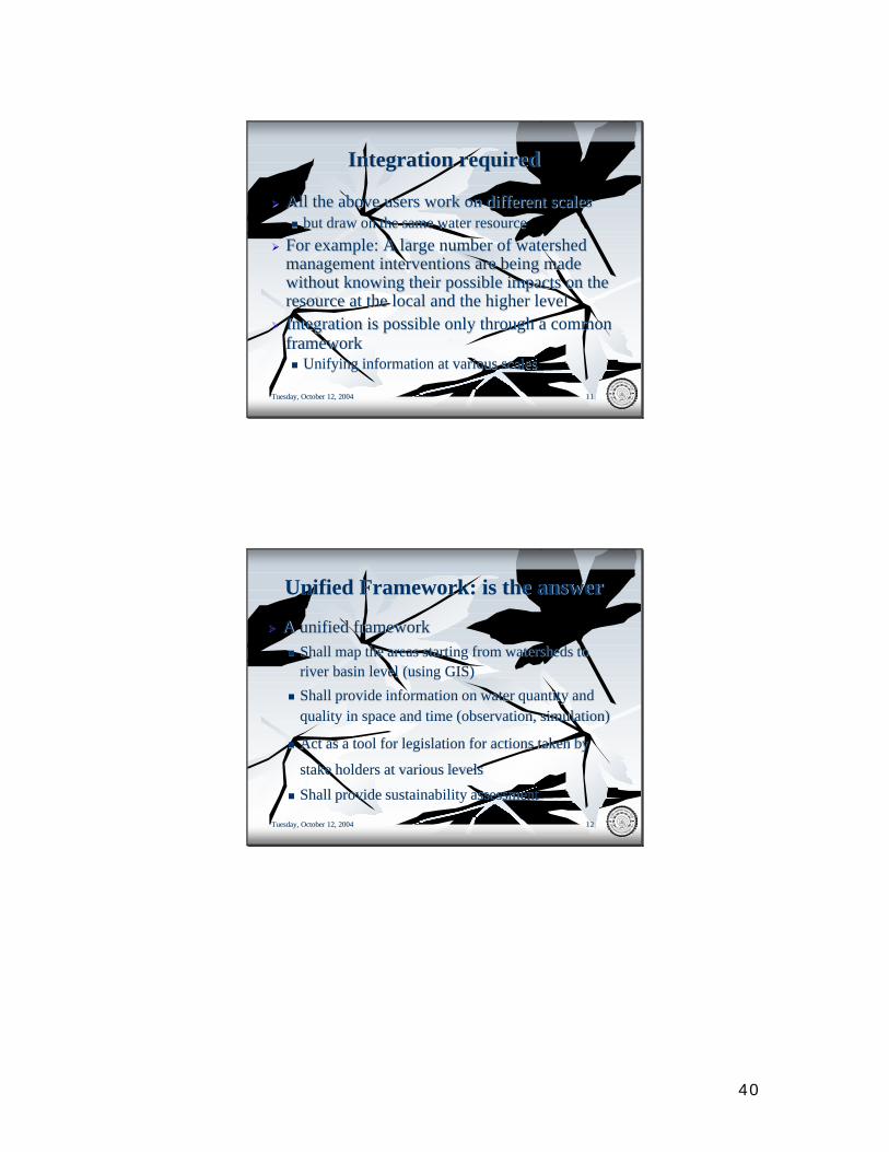
Integration requiredIntegration required
ØØ All the above users work on different scales All the above users work on different scales nn but draw on the same water resourcebut draw on the same water resource
ØØ For example: A large number of watershed For example: A large number of watershed management interventions are being made management interventions are being made without knowing their possible impacts on the without knowing their possible impacts on the resource at the local and the higher levelresource at the local and the higher level
ØØ Integration is possible only through a common Integration is possible only through a common framework framework nn Unifying information at various scalesUnifying information at various scales
Tuesday, October 12, 2004Tuesday, October 12, 2004 1212
Unified Framework: is the answerUnified Framework: is the answer
ØØ A unified framework A unified framework nn Shall map the areas starting from watersheds to Shall map the areas starting from watersheds to
river basin level (using GIS)river basin level (using GIS)
nn Shall provide information on water quantity and Shall provide information on water quantity and quality in space and time (observation, simulation)quality in space and time (observation, simulation)
nn Act as a tool for legislation for actions taken by Act as a tool for legislation for actions taken by
stake holders at various levelsstake holders at various levels
nn Shall provide sustainability assessmentShall provide sustainability assessment
41
Tuesday, October 12, 2004Tuesday, October 12, 2004 1313
Components of FrameworkComponents of Framework
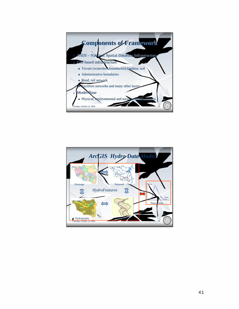
ØØ NSDI NSDI –– National Spatial Database InfrastructureNational Spatial Database Infrastructure
ØØ GIS based infrastructure GIS based infrastructure nn Terrain (watershed boundaries), Terrain (watershed boundaries), landuselanduse, soil , soil
nn Administrative boundariesAdministrative boundaries
nn Road, rail networkRoad, rail network
nn Facilities networks and many other layers Facilities networks and many other layers
ØØ Model BaseModel Basenn Physical, environmental and socioPhysical, environmental and socio--economic models economic models
Tuesday, October 12, 2004Tuesday, October 12, 2004 1414
Flow
Time
Time Series
Hydrography
Network
Channel
Drainage
ArcGIS Hydro Data Model
HydroFeatures
42
Tuesday, October 12, 2004Tuesday, October 12, 2004 1515
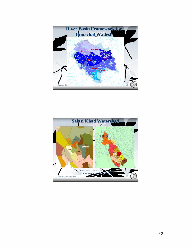
River Basin Framework for River Basin Framework for Himachal PradeshHimachal Pradesh
Tuesday, October 12, 2004Tuesday, October 12, 2004 1616
SalasiSalasi KhadKhad WatershedWatershed
Watershed of Interest – in Hamirpurshowing sub watershed with Drainage
4000 ha
43
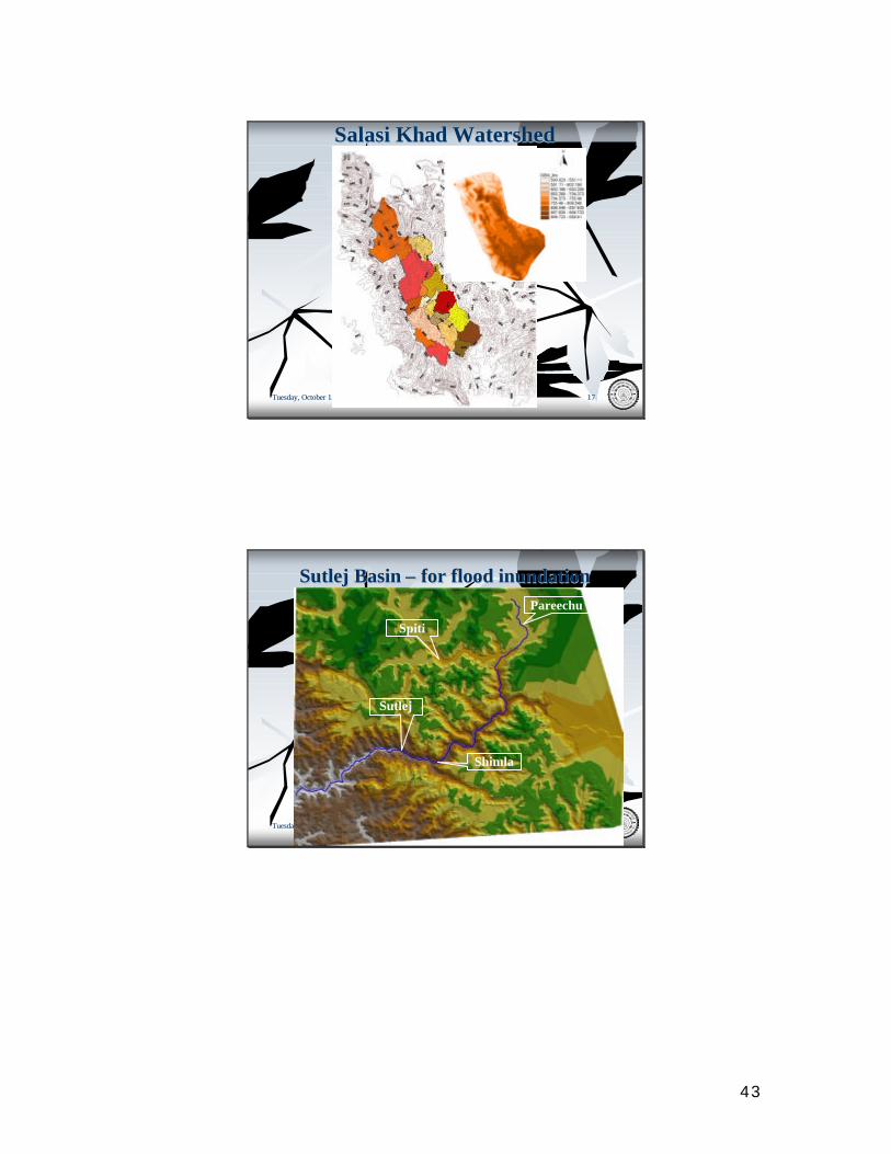
Tuesday, October 12, 2004Tuesday, October 12, 2004 1717
SalasiSalasi KhadKhad WatershedWatershed
Tuesday, October 12, 2004Tuesday, October 12, 2004 1818
SutlejSutlej Basin Basin –– for flood inundationfor flood inundation
Shimla
Pareechu
Spiti
Sutlej
44
Tuesday, October 12, 2004Tuesday, October 12, 2004 1919
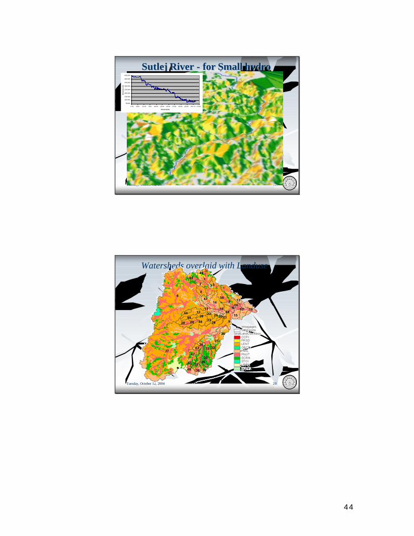
SutlejSutlej River River -- for Small hydrofor Small hydro
750.000
1250.000
1750.000
2250.000
2750.000
3250.000
3750.000
4250.000
4750.000
0.00 25.00 50.00 75.00 100.00 125.00 150.00 175.00 200.00 225.00 250 .00 275.00
Distance(km)
Ele
vati
on (
m)
Tuesday, October 12, 2004Tuesday, October 12, 2004 2020
Watersheds overlaid with Landuse
45
Tuesday, October 12, 2004Tuesday, October 12, 2004 2121
Watersheds overlaid with Soil
Tuesday, October 12, 2004Tuesday, October 12, 2004 2222
Water Yield Map – model output
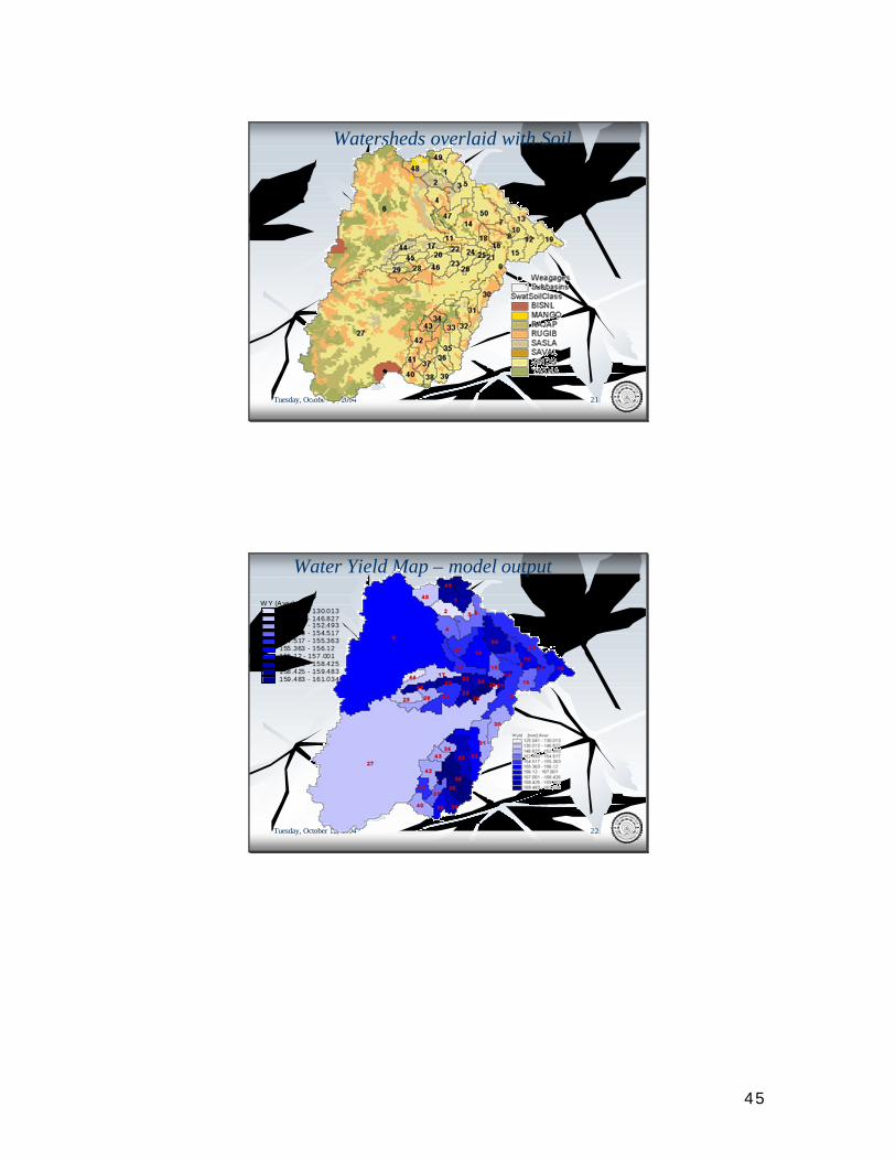
W Y (Aver) mm125.041 - 130.013130.013 - 146.827146.827 - 152.493152.493 - 154.517154.517 - 155.363155.363 - 156.12156.12 - 157.001157.001 - 158.425158.425 - 159.483159.483 - 161.034
46
Tuesday, October 12, 2004Tuesday, October 12, 2004 2323
Sediment Yield Map - model outputSY (Aver) t/ha
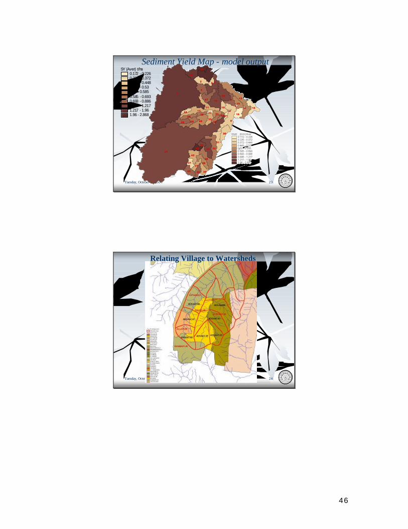
0.172 - 0.2260.226 - 0.3720.372 - 0.4480.448 - 0.530.53 - 0.5850.585 - 0.6930.693 - 0.8860.886 - 1.2171.217 - 1.961.96 - 2.868
Tuesday, October 12, 2004Tuesday, October 12, 2004 2424
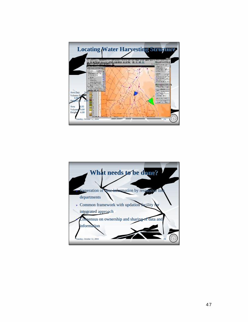
Relating Village to WatershedsRelating Village to Watersheds
47
Tuesday, October 12, 2004Tuesday, October 12, 2004 2525
Locating Water Harvesting StructureLocating Water Harvesting Structure
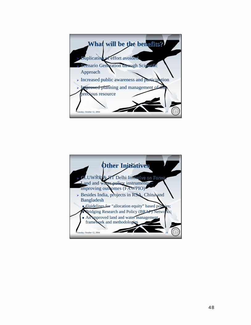
Area (ha) 3.02Area (ha) 3.02Volume (ham) Volume (ham)
0.800.80Height (m) 2.00Height (m) 2.00
Area 6.93Area 6.93Volume 9.00Volume 9.00Height 4.00Height 4.00
Tuesday, October 12, 2004Tuesday, October 12, 2004 2626
What needs to be done?What needs to be done?
ØØ Generation of base information by respective line Generation of base information by respective line
departmentsdepartments
ØØ Common framework with Common framework with updationupdation facility for facility for
integrated approachintegrated approach
ØØ Consensus on ownership and sharing of data and Consensus on ownership and sharing of data and
informationinformation
48
Tuesday, October 12, 2004Tuesday, October 12, 2004 2727
What will be the benefits?What will be the benefits?
ØØ Duplication of effort avoidedDuplication of effort avoided
ØØ Scenario Generation through Scientific Scenario Generation through Scientific ApproachApproach
ØØ Increased public awareness and participationIncreased public awareness and participation
ØØ Improved planning and management of this Improved planning and management of this precious resourceprecious resource
Tuesday, October 12, 2004Tuesday, October 12, 2004 2828
Other Other InitiativesInitiatives
ØØ CLUWRR & IIT Delhi Initiative on Forest, CLUWRR & IIT Delhi Initiative on Forest, Land and water policy instruments Land and water policy instruments ––improving outcomes (FAWPIO)improving outcomes (FAWPIO)
ØØ Besides India, projects in RSA, China and Besides India, projects in RSA, China and Bangladesh Bangladesh nn Guidelines for “allocation equity” based policies; Guidelines for “allocation equity” based policies; nn Bridging Research and Policy (BRAP) Networks; Bridging Research and Policy (BRAP) Networks; nn An improved land and water management An improved land and water management
framework and methodologiesframework and methodologies

49
Tuesday, October 12, 2004Tuesday, October 12, 2004 2929
THANK YOUTHANK YOU

50
NATIONAL WATER POLICYNATIONAL WATER POLICY
R.K.GUPTAR.K.GUPTA
u
u FIRST NWP ADOPTED IN FIRST NWP ADOPTED IN SEPTEMBER,1987SEPTEMBER,1987
uuNEW CHALLENGES NECESSIATED NEW CHALLENGES NECESSIATED THE REVIEWTHE REVIEW
uuREVISED POLICY ADOPTED IN APRIL REVISED POLICY ADOPTED IN APRIL 20022002
51
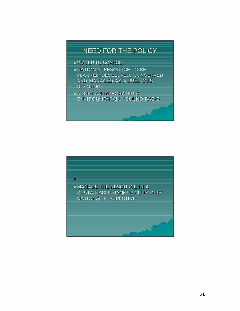
NEED FOR THE POLICYNEED FOR THE POLICY
uuWATER IS SCARCEWATER IS SCARCEuuNATIONAL RESOURCE TO BE NATIONAL RESOURCE TO BE
PLANNED,DEVELOPED, CONSERVED PLANNED,DEVELOPED, CONSERVED AND MANAGED AS A PRECIOUS AND MANAGED AS A PRECIOUS RESOURCERESOURCE
uuADOPT AN INTEGRATED & ADOPT AN INTEGRATED & ENVIRONMENTALLY SOUND BASISENVIRONMENTALLY SOUND BASIS
u
uMANAGE THE RESOURCE IN A MANAGE THE RESOURCE IN A SUSTAINABLE MANNER GUIDED BY SUSTAINABLE MANNER GUIDED BY NATIONAL PERSPECTIVENATIONAL PERSPECTIVE
52
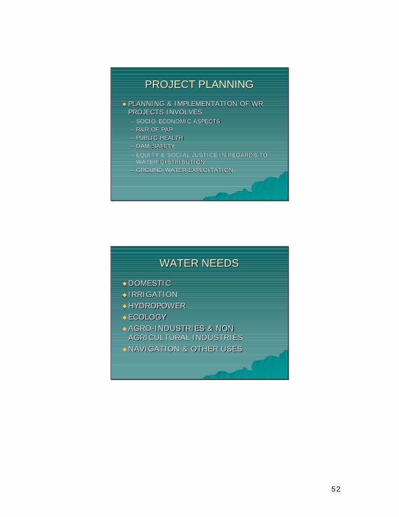
PROJECT PLANNINGPROJECT PLANNING
uu PLANNING & IMPLEMENTATION OF WR PLANNING & IMPLEMENTATION OF WR PROJECTS INVOLVESPROJECTS INVOLVES–– SOCIOSOCIO--ECONOMIC ASPECTSECONOMIC ASPECTS–– R&R OF PAPR&R OF PAP–– PUBLIC HEALTHPUBLIC HEALTH–– DAM SAFETYDAM SAFETY–– EQUITY & SOCIAL JUSTICE IN REGARDS TO EQUITY & SOCIAL JUSTICE IN REGARDS TO
WATER DISTRIBUTIONWATER DISTRIBUTION–– GROUND WATER EXPLOITATIONGROUND WATER EXPLOITATION
WATER NEEDSWATER NEEDS
uuDOMESTICDOMESTICuu IRRIGATIONIRRIGATIONuuHYDROPOWERHYDROPOWERuu ECOLOGYECOLOGYuuAGROAGRO--INDUSTRIES & NON INDUSTRIES & NON
AGRICULTURAL INDUSTRIESAGRICULTURAL INDUSTRIESuuNAVIGATION & OTHER USESNAVIGATION & OTHER USES
53
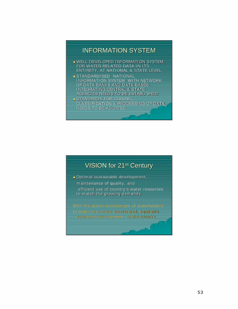
INFORMATION SYSTEMINFORMATION SYSTEM
uu WELL DEVELOPED INFORMATION SYSTEM, WELL DEVELOPED INFORMATION SYSTEM, FOR WATER RELATED DATA IN ITS FOR WATER RELATED DATA IN ITS ENTIRETY, AT NATIONAL & STATE LEVELENTIRETY, AT NATIONAL & STATE LEVEL
uu STANDARDISED NATIONAL STANDARDISED NATIONAL INFORMATION SYSTEM WITH NETWORK INFORMATION SYSTEM WITH NETWORK OF DATA BANKS AND DATA BASES, OF DATA BANKS AND DATA BASES, INTEGRATING CENTRAL & STATE INTEGRATING CENTRAL & STATE AGENCIES NEEDS TO BE ESTABLISHEDAGENCIES NEEDS TO BE ESTABLISHED
uu STANDARDS FOR CODING, STANDARDS FOR CODING, CLASSIFICATION & PROCESSING OF DATA CLASSIFICATION & PROCESSING OF DATA NEEDS TO BE ADOPTEDNEEDS TO BE ADOPTED
VISION for 21VISION for 21stst CenturyCentury
uu Optimal sustainable development,Optimal sustainable development,maintenance of quality, andmaintenance of quality, andefficient use of country’s water resources efficient use of country’s water resources
to match the growing demandsto match the growing demands
With the active involvement of stakeholders With the active involvement of stakeholders In order to achieve accelerated, equitable In order to achieve accelerated, equitable
economic development of the countryeconomic development of the country
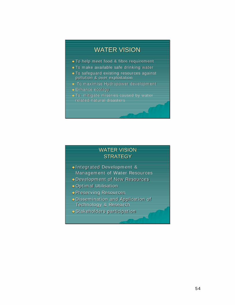
54
WATER VISIONWATER VISION
uu To help meet food & fibre requirement To help meet food & fibre requirement uu To make available safe drinking waterTo make available safe drinking wateruu To safeguard existing resources against To safeguard existing resources against
pollution & over exploitationpollution & over exploitationuu To maximise Hydropower developmentTo maximise Hydropower developmentuu Enhance ecology Enhance ecology uu To mitigate miseries caused by water To mitigate miseries caused by water
related natural disastersrelated natural disasters
WATER VISIONWATER VISIONSTRATEGYSTRATEGY
uu Integrated Development & Integrated Development & Management of Water ResourcesManagement of Water Resources
uuDevelopment of New ResourcesDevelopment of New ResourcesuuOptimal UtilisationOptimal Utilisationuu Preserving ResourcesPreserving ResourcesuuDissemination and Application of Dissemination and Application of
Technology & ResearchTechnology & ResearchuuStakeholders participationStakeholders participation
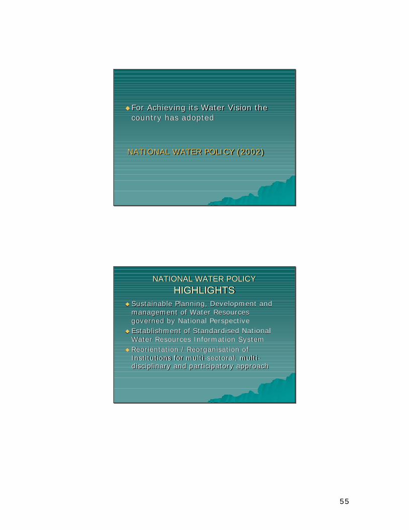
55
uu For Achieving its Water Vision the For Achieving its Water Vision the country has adopted country has adopted
NATIONAL WATER POLICY (2002)NATIONAL WATER POLICY (2002)
NATIONAL WATER POLICYNATIONAL WATER POLICYHIGHLIGHTSHIGHLIGHTS
uu Sustainable Planning, Development and Sustainable Planning, Development and management of Water Resources management of Water Resources governed by National Perspectivegoverned by National Perspective
uu Establishment of Standardised National Establishment of Standardised National Water Resources Information SystemWater Resources Information System
uu Reorientation / Reorganisation of Reorientation / Reorganisation of Institutions for multiInstitutions for multi--sectoral, multisectoral, multi --disciplinary and participatory approachdisciplinary and participatory approach
56
HIGHLIGHTSHIGHLIGHTS
uuDrinking WaterDrinking WateruuQuality of WaterQuality of WateruuManagement of Floods & DroughtsManagement of Floods & Droughtsuu Financial & Physical sustainability of Financial & Physical sustainability of
Water Resources facilitiesWater Resources facilitiesuuWater sharing guided by National Water sharing guided by National
PerspectivePerspectiveuu Promoting beneficiaries participation Promoting beneficiaries participation
HOW DO WE GO ABOUT IT?HOW DO WE GO ABOUT IT?
uu Discuss ways and means for sustainable Discuss ways and means for sustainable implementation of National Policy / State implementation of National Policy / State PolicyPolicy
uu Each State to have a close integration of Each State to have a close integration of water use and land use policieswater use and land use policies
uu State Water Resources Department to State Water Resources Department to cater for the schemes fro development of cater for the schemes fro development of water at one place with due consideration water at one place with due consideration of all aspects and implemented by of all aspects and implemented by concerned departments under integrated concerned departments under integrated plan. plan.
57
uu Linkages between line departments Linkages between line departments dealing with the rural water supply, minor dealing with the rural water supply, minor irrigation, major and medium irrigation, irrigation, major and medium irrigation, the watershed development agencies the watershed development agencies needed to be establishedneeded to be established
uu Water Information Resource Centre should Water Information Resource Centre should be established where all water related be established where all water related data shall be made available also in local data shall be made available also in local languagelanguage
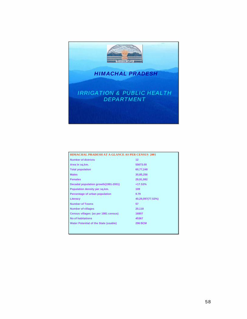
58
1
HIMACHAL PRADESH
IRRIGATION & PUBLIC HEALTH DEPARTMENT
2
HIMACHAL PRADESH AT A GLANCE AS PER CENSUS 2001
Number of districts 12
Area in sq.km. 55673.00
Total population 60,77,248
Males 30,85,256
Females 29,91,992
Decadal population growth(1991-2001) +17.53%
Population density per sq.km. 109
Percentage of urban population 9.79
Literacy 40,29,097(77.53%)
Number of Towns 57
Number of villages 20,118
Census villages (as per 1981 census) 16807
No of habitations 45367
Water Potential of the State (usable) 296 BCM
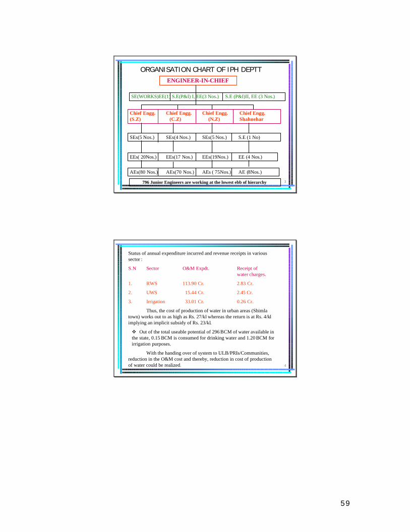
59
3
ORGANISATION CHART OF IPH DEPTTENGINEER-IN-CHIEF
Chief Engg. Chief Engg. Chief Engg. Chief Engg. (S.Z) (C.Z) (N.Z) Shahnehar
SE(WORKS)EE(1) S.E(P&I) I, EE(3 Nos.) S.E (P&I)II, EE (3 Nos.)
SEs(5 Nos.) SEs(4 Nos.) SEs(5 Nos.) S.E (1 No)
EEs( 20Nos.) EEs(17 Nos.) EEs(19Nos.) EE (4 Nos.)
AEs(80 Nos.) AEs(70 Nos.) AEs ( 75Nos.) AE (8Nos.)
796 Junior Engineers are working at the lowest ebb of hierarchy
4
Status of annual expenditure incurred and revenue receipts in various sector :
S.N Sector O&M Expdt. Receipt ofwater charges.
1. RWS 113.90 Cr. 2.83 Cr.
2. UWS 15.44 Cr. 2.45 Cr.
3. Irrigation 33.01 Cr. 0.26 Cr.
Thus, the cost of production of water in urban areas (Shimla town) works out to as high as Rs. 27/kl whereas the return is at Rs. 4/kl implying an implicit subsidy of Rs. 23/kl.
v Out of the total useable potential of 296 BCM of water available in the state, 0.15 BCM is consumed for drinking water and 1.20 BCM for irrigation purposes.
With the handing over of system to ULB/PRIs/Communities, reduction in the O&M cost and thereby, reduction in cost of production of water could be realized.

60
5
Status of habitations in the state (as on 31/7/04)State has taken a conscious decision to supply
water @ 70 lpcd.
Not Partially Fully TOTAL Covered Covered Covered (NC) (PC) (FC)
NIL 7244 38123 45367
> It is proposed to cover remaining 7244 partially covered (PC) in next 3 years as per policy document of the Government.
> During the CFY 2004-05 there is target of coverage of 1500 (PC) habitations.
> To cover these remaining habitations an amount of about Rs.650.00 crore shall be required.
6
STATUS OF IRRIGATION (as on 31.03.04)
Total Potential Created : 2.01988 Lakh hects.
IPH RDD Total
1. Minor Irrigation 96856 ha. 92796 ha 189652 ha.
2. Major Irrigation & 12336 ha. 12336 ha.Medium Irrigation
Total:- 109192 ha. 92796 ha. 201988 haSay 2.02 lac ha.
61
7
USAGE/ WASTAGE OF
TREATED WATER
Immediate stringent measures are necessary for conserving precious water, the production cost of which is as high as Rs. 27/ kilo ltr. but is supplied @ Rs.4/-Kl. as in Shimla Water Supply Scheme.
Ø Water is a resource that must be shared rather than exploited at the expense of others
Ø Losses in distribution ranges from 25% to 35%.Ø Less than 20% of treated water is used for drinking
& cooking purposes.Ø More than 80% of treated water is used for other
purposes
8
SAVING OF WATER
40 literWashing floor with wet cloth 10 ltr.
Washing floor with running water 15’X10 ’
82 literWashing Car with wet cloth 18 ltr.
Washing Car with running water 100 ltr.
9.5 litrsWashing hands with mug 0.5 ltr.
Washing hands with running tap 10 ltr.
9 litrs.Brushing teeth by taking water in mug 1 ltr.
Brushing teeth with running water 10 ltr.
80 litrsWashing clothes with bucket 36 ltr.
Washing Clothes with running water 116 ltr.
14 litrs.Using new style flush 6 ltr.Using old style flush in Latrines 20 ltr.
9 litrs.Shaving by taking water in mug 1 ltr.
Shaving with running water 10 ltr.
22 litrs. Bathing with Bucket 18 ltr. Bathing with running water 40 ltr.
82 litrs.Bathing with Bucket 18 ltr.Bathing with Shower 100 ltr.
Conservation possibilities
What should be doneWhat we do

62
9
OUR OBJECTIVE
TO PROVIDE SAFE DRINKING WATER TO ALL AND ASSURED
IRRIGATION TO MAXIMUM FEASIBLE CULTIVATED AREA
WITH PEOPLES PARTICIPATION.
10
WATER IS A CRITICAL NATURAL
RESOURCE
UNLIKE OTHER MAN MADE
RESOURCES e.g POWER.
WATER HAS NO SUBSTITUTE
63
11
CONSERVATION & SUSTAINABILITY
OF WATER IS A GLOBAL CONCERN
SO THAT SCARCITY OF WATER
DOES NOT LEAD TO WARS FOR
SURVIVAL.
12
STRATEGIC FOCUS
‘THINK GLOBALLY & ACT LOCALLY’
ON:
> SOURCING,> SUPPLYING,> DISTRIBUTING, > CONSERVING WATER
64
13
MIXED EXPERIENCE WITH A TOP-DOWN SUPPLY DRIVEN APPROACH TO DETERMINE WATERREQUIREMENTS AND DISTRIBUTION HAS PROMPTED RETHINKING……. “WE CAN MANAGE WATER BETTER”.
MOVE TOWARDS A PARTICIPATORY, NEED-BASED, BOTTOM UP APPROACH WITH ACTIVE INVOLVEMENT OF THE COMMUNITY IN:-
> WATER PROJECTS FORMULATION> IMPLEMENTATION> DISTRIBUTION> O&M, VILLAGERS MAY HAVE THEIR OWN TARIFF
STRUCTURE & COLLECTING SYSTEM. DWSCs, DWSMs,SWSC & SWSM notified as the new institutional framework.
14
GOVT. IS A TOTAL PROVIDER, SHIFT HAS TO BE AS A TOTAL FACILITATOR. TRANSITION CAN BE A SLOW & PAINFUL LEARNING PROCESS FRAUGHT WITH UNCERTAINTY.
DIALOGUE WITH RDD IN SELECTED PANCHAYATS TO FACILITATE FEEDBACK AND FEED FORWARD ON TENTATIVE STRATEGIES BEFORE A FULL FLEDGED LAUNCH OF SWAJALDHARA IS UNDERTAKEN.
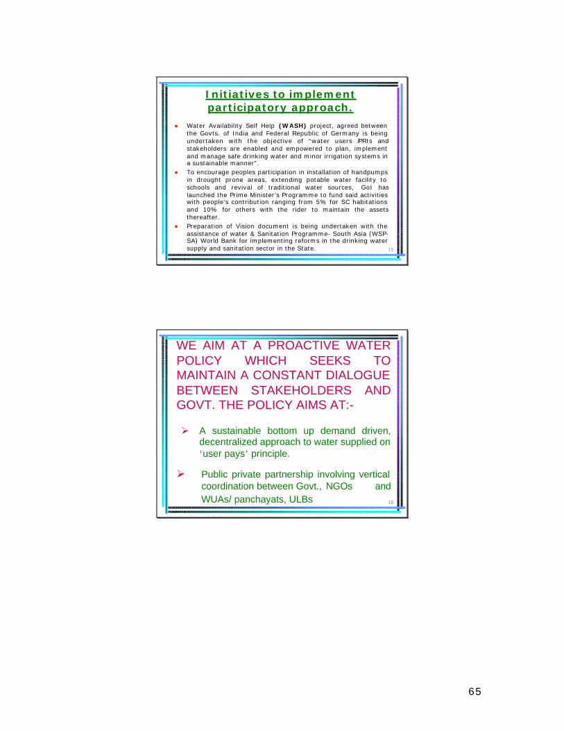
65
15
Initiatives to implement participatory approach.
l Water Availability Self Help (WASH) project, agreed between the Govts. of India and Federal Republic of Germany is being undertaken with the objective of “water users /PRIs and stakeholders are enabled and empowered to plan, implement and manage safe drinking water and minor irrigation systems in a sustainable manner”.
l To encourage peoples participation in installation of handpumps in drought prone areas, extending potable water facility to schools and revival of traditional water sources, GoI has launched the Prime Minister’s Programme to fund said activities with people’s contribution ranging from 5% for SC habitations and 10% for others with the rider to maintain the assets thereafter.
l Preparation of Vision document is being undertaken with the assistance of water & Sanitation Programme- South Asia (WSP-SA) World Bank for implementing reforms in the drinking water supply and sanitation sector in the State.
16
WE AIM AT A PROACTIVE WATER POLICY WHICH SEEKS TO MAINTAIN A CONSTANT DIALOGUE BETWEEN STAKEHOLDERS AND GOVT. THE POLICY AIMS AT:-
Ø A sustainable bottom up demand driven, decentralized approach to water supplied on ‘user pays’ principle.
Ø Public private partnership involving vertical coordination between Govt., NGOs and WUAs/ panchayats, ULBs

66
17
Ø Since watersheds impact directly on quantity and quality of water, a horizontal dialogue to coordinate with linked departments like Forest, Agriculture, Soil Conservation, IPH, PRIs and UD needs to be established.
> To reform mindset through IEC.
> A progressive, legislative & regulatory framework to lend dynamism to this Policy has to be reframed.
18
CHANGING MINDSET AND ENHANCING HUMAN CAPABILITIES- THE BIGGEST CHALLENGE OF 21ST
CENTURY. THROUGH IEC:--for departmental officers.-for the WUAs-for grassroots polity PRI,
ENCOURAGE COMMUNITY/WUA(DRINKING & IRRIGATION)-To deploy/revive traditional best practices in both drinking water e.g Bouli & irrigation i.e distribution of water through warabandi. -Operation & Maintenance -Collection of abiana & water tariff.
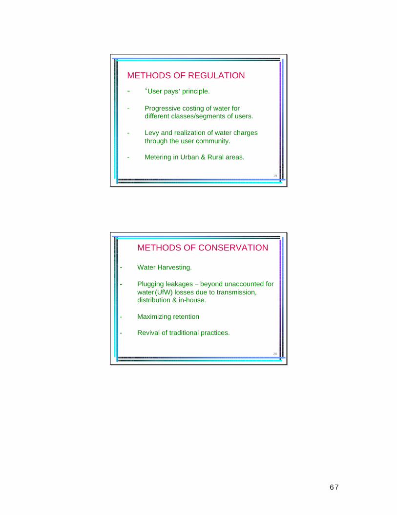
67
19
METHODS OF REGULATION
- ‘User pays’ principle.
- Progressive costing of water for different classes/segments of users.
- Levy and realization of water charges through the user community.
- Metering in Urban & Rural areas.
20
METHODS OF CONSERVATION
- Water Harvesting.
- Plugging leakages – beyond unaccounted for water (UfW) losses due to transmission, distribution & in-house.
- Maximizing retention
- Revival of traditional practices.
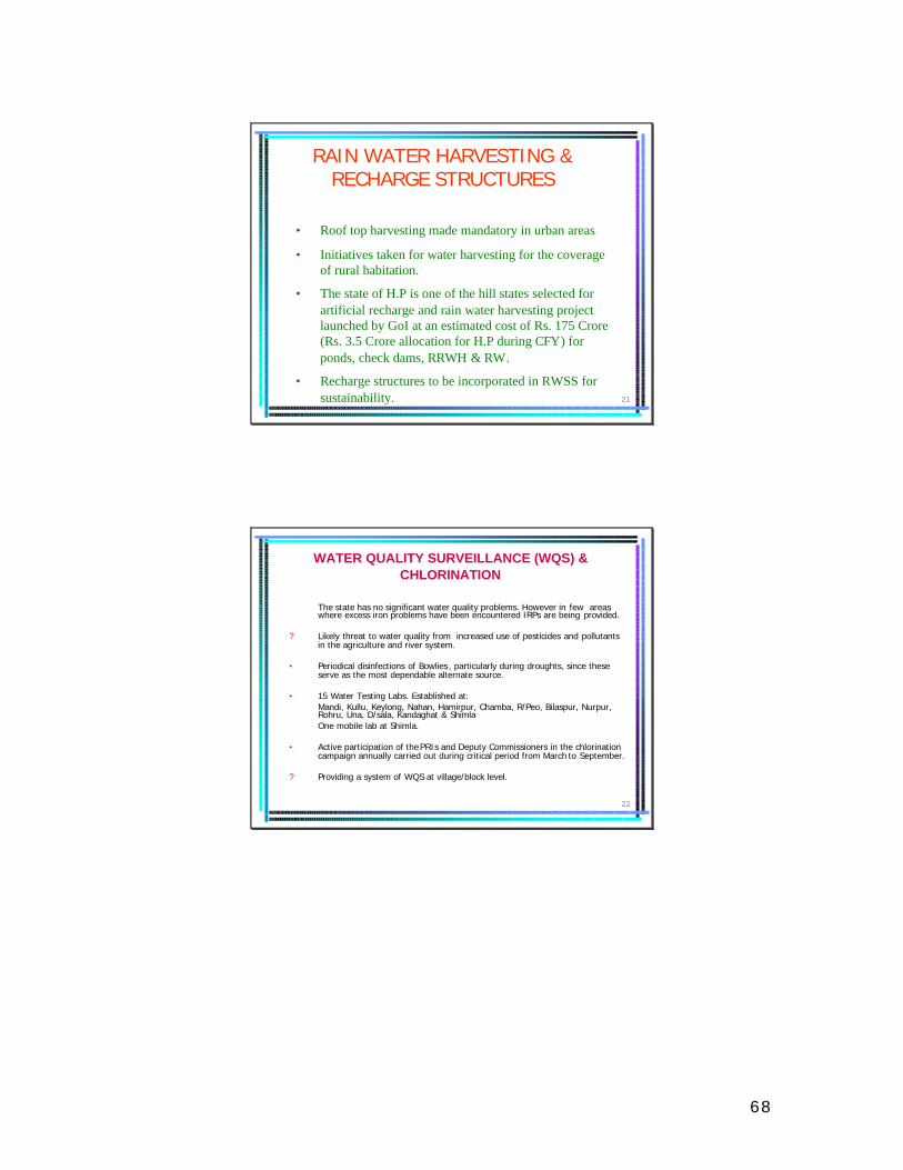
68
21
RAIN WATER HARVESTING & RECHARGE STRUCTURES
• Roof top harvesting made mandatory in urban areas
• Initiatives taken for water harvesting for the coverage of rural habitation.
• The state of H.P is one of the hill states selected for artificial recharge and rain water harvesting project launched by GoI at an estimated cost of Rs. 175 Crore (Rs. 3.5 Crore allocation for H.P during CFY) for ponds, check dams, RRWH & RW.
• Recharge structures to be incorporated in RWSS for sustainability.
22
The state has no significant water quality problems. However in few areas where excess iron problems have been encountered IRPs are being provided.
? Likely threat to water quality from increased use of pesticides and pollutants in the agriculture and river system.
• Periodical disinfections of Bowlies , particularly during droughts, since these serve as the most dependable alternate source.
• 15 Water Testing Labs. Established at: Mandi, Kullu, Keylong, Nahan, Hamirpur, Chamba, R/Peo, Bilaspur, Nurpur, Rohru, Una, D/sala, Kandaghat & Shimla One mobile lab at Shimla.
• Active participation of thePRIs and Deputy Commissioners in the chlorination campaign annually carried out during critical period from March to September.
? Providing a system of WQS at village/block level.
WATER QUALITY SURVEILLANCE (WQS) & CHLORINATION
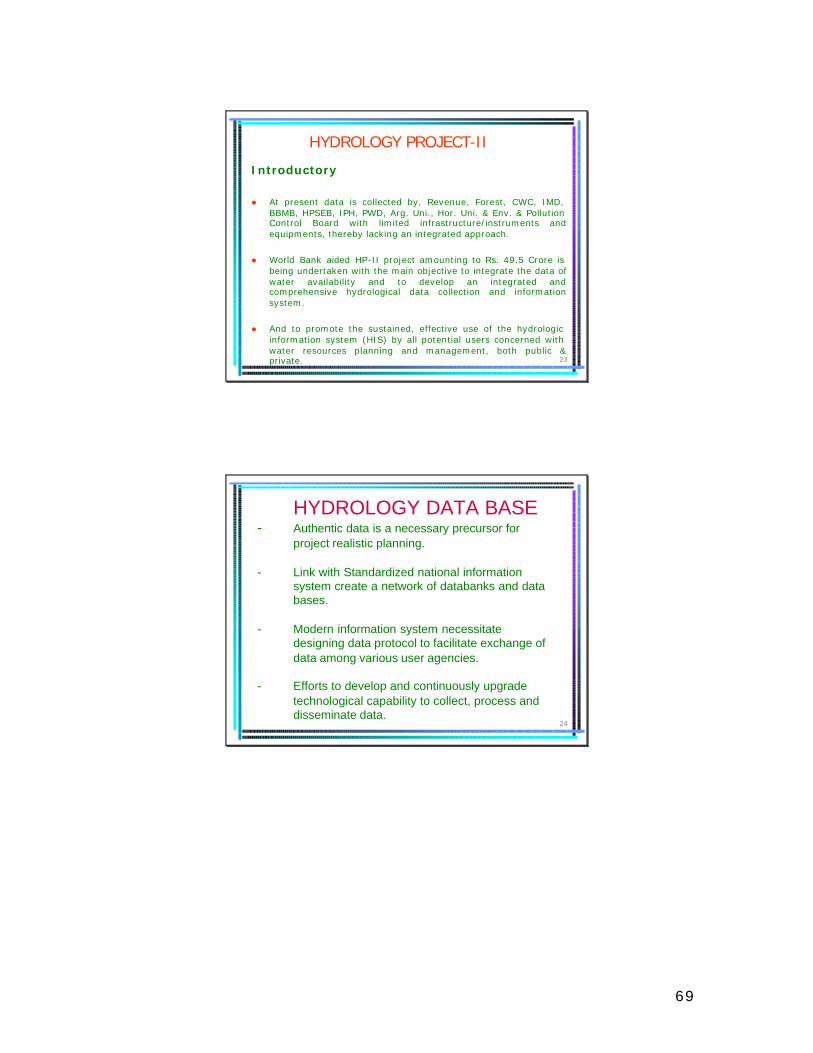
69
23
HYDROLOGY PROJECT-II
Introductory
l At present data is collected by, Revenue, Forest, CWC, IMD, BBMB, HPSEB, IPH, PWD, Arg. Uni., Hor. Uni. & Env. & Pollution Control Board with limited infrastructure/instruments and equipments, thereby lacking an integrated approach.
l World Bank aided HP-II project amounting to Rs. 49.5 Crore is being undertaken with the main objective to integrate the data of water availability and to develop an integrated and comprehensive hydrological data collection and information system.
l And to promote the sustained, effective use of the hydrologic information system (HIS) by all potential users concerned with water resources planning and management, both public & private.
24
HYDROLOGY DATA BASE- Authentic data is a necessary precursor for
project realistic planning.
- Link with Standardized national information system create a network of databanks and data bases.
- Modern information system necessitate designing data protocol to facilitate exchange of data among various user agencies.
- Efforts to develop and continuously upgrade technological capability to collect, process and disseminate data.
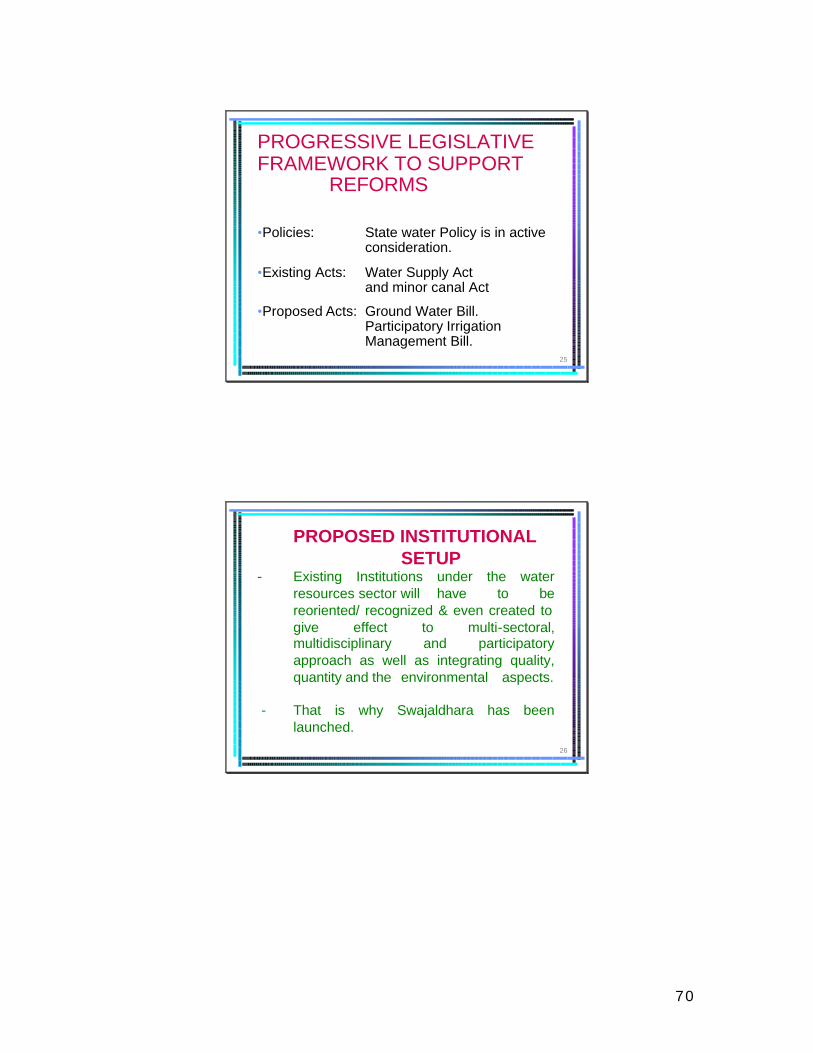
70
25
PROGRESSIVE LEGISLATIVE FRAMEWORK TO SUPPORT
REFORMS
•Policies: State water Policy is in active consideration.
•Existing Acts: Water Supply Act and minor canal Act
•Proposed Acts: Ground Water Bill. Participatory Irrigation Management Bill.
26
PROPOSED INSTITUTIONAL SETUP
- Existing Institutions under the water resources sector will have to be reoriented/ recognized & even created to give effect to multi-sectoral, multidisciplinary and participatory approach as well as integrating quality, quantity and the environmental aspects.
- That is why Swajaldhara has been launched.
71
27
INCENTIVE MOTIVATION TO WUAs:-
CAN BE INBUILT IN POLICY TO ENCOURAGE PANCHAYATS TO UNDERTAKE WATER AND SANITATION SCHEMES BY TAGGING OTHER INCENTIVES WHICH COULD BE AVAILABLE TO VWSC/ VILLAGES ON A PERFORMANCE-LINKED CRITERIA. THESE INCENTIVES COULD BE THE FULFILLMENT OF LONG STANDING DEMANDS LIKE LINK ROADS, SCHOOLS ETC.
28
THANK YOU
72
Towards an Improved State Water Policy for Himachal Pradesh
Research Funded under the Forest and Research Programme, Department for International Development, U.K. (DFID)
Presentation outline…
• Introduction• Questioning the assumed• The policy environment• Himachal Pradesh Draft State Water Policy• Stakeholder dynamics• Conclusions• Recommendations
73
Introduction…
• Within the scientific community there is a felt need for a clearer understanding of the impacts of land use (including forests) on water resources
• Scientific studies now showing that the often assumed forest-water linkages is not a universal truth: could have adverse impacts downstream
• In this context the ‘Low Base Flows & Livelihoods in India’ project has been designed
Low Base Flows & Livelihoods in India
Project Objectives:
• Improving scientific understanding of forests-water flows interactions
• Developing decision-making tools such as GIS based hydrological models
• Linking this improved understanding to policy with the aid of these tools and through direct interactions with institutions and policy makers
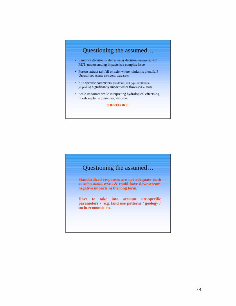
74
Questioning the assumed…• Land use decision is also a water decision (Falkenmark 2003)
BUT, understanding impacts is a complex issue
• Forests attract rainfall or exist where rainfall is plentiful? Unresolved (Calder 1999, 2000; Wilk 2000)
• Site-specific parameters (landform, soil type, infiltration properties) significantly impact water flows (Calder 2000)
• Scale important while interpreting hydrological effects e.g. floods in plains (Calder 1999, Wilk 2000)
THEREFORE:
Questioning the assumed…
Standardized responses are not adequate (such as Afforestation,WSD) & could have downstream negative impacts in the long term.
Have to take into account site-specific parameters - e.g. land use patterns / geology / socio-economic etc.
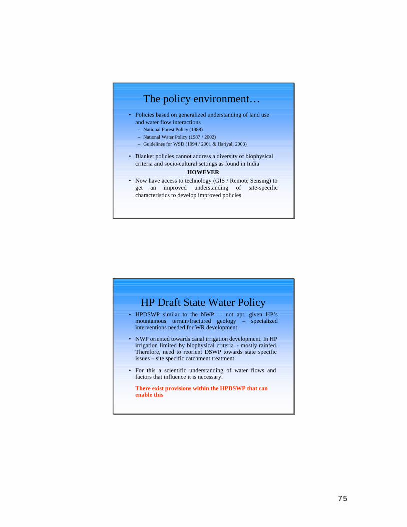
75
The policy environment…• Policies based on generalized understanding of land use
and water flow interactions – National Forest Policy (1988)– National Water Policy (1987 / 2002) – Guidelines for WSD (1994 / 2001 & Hariyali 2003)
• Blanket policies cannot address a diversity of biophysical criteria and socio-cultural settings as found in India
HOWEVER• Now have access to technology (GIS / Remote Sensing) to
get an improved understanding of site-specific characteristics to develop improved policies
HP Draft State Water Policy• HPDSWP similar to the NWP – not apt. given HP’s
mountainous terrain/fractured geology – specialized interventions needed for WR development
• NWP oriented towards canal irrigation development. In HP irrigation limited by biophysical criteria - mostly rainfed. Therefore, need to reorient DSWP towards state specific issues – site specific catchment treatment
• For this a scientific understanding of water flows and factors that influence it is necessary.
There exist provisions within the HPDSWP that can enable this
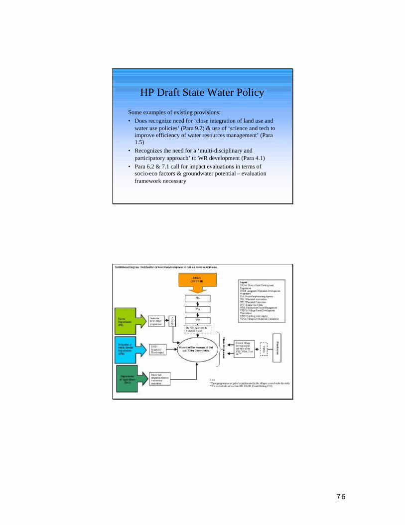
76
HP Draft State Water Policy
Some examples of existing provisions:• Does recognize need for ‘close integration of land use and
water use policies’ (Para 9.2) & use of ‘science and tech to improve efficiency of water resources management’ (Para 1.5)
• Recognizes the need for a ‘multi-disciplinary and participatory approach’ to WR development (Para 4.1)
• Para 6.2 & 7.1 call for impact evaluations in terms of socio-eco factors & groundwater potential – evaluation framework necessary
77
Stakeholder Dynamics…
• Little or no coordination between govt. line departments (exists mostly on an informal basis)
• Each Dept has it’s own defined functions/thrust and priority areas that often overlap but are still pursued individually
• Coordination between line depts. limited to single programmes – e.g. WSD – not at the overall level of day to day functioning
• Parallel institutions exist at the village level with every new projects – members overlap – but little formal coordination
In conclusion…
• Land use –water flow linkages need to be assessed at the State level using scientific insights and available technology (e.g. GIS based hydrological models)
• Two-pronged endeavor necessary: 1. Improved (scientific) understanding of land use-water flows
interactions2. Based on this improved understanding, develop a uniformity
in thinking (perceptions) among stakeholders at all levels
• Land & water policies need to reflect this improved understanding through integrated frameworks for decision-making

78
Recommendations…Improving Inter-departmental Coordination:1. Official procedures that engender inter-departmental
coordination need to be established through appropriate policies at the State (possibly implemented through a Nodal Dept), and equally importantly at the Central level.
2. Awareness generation and training will have to be imparted at every level of the bureaucratic system – it should not be limited to localized, project areas.
3. Mechanisms for information and data sharing within and among line departments and other practitioners need to be developed.
4. A ‘Convergence Government Order’ be passed by the Chief Secretary at the state level that makes it mandatory for relevant line departments to coordinate amongst themselves in order to achieve common objectives / goals – as proposed by the ongoing DFID funded Forest Sector Reform Project in Himachal Pradesh.
Recommendations…Influencing Political Will:
1. Political will plays a crucial role in policy change and implementation. Awareness generation exercises / training programmes that inform political actors about the current thinking / advances in the sector need to be regularly organised. These can be organised in a concerted manner by the relevant line departments.
2. For effective implementation, policies need to be backed by resourced action plans. This requires political (and bureaucratic) will and commitment that can be nurtured through awareness generation programmes.
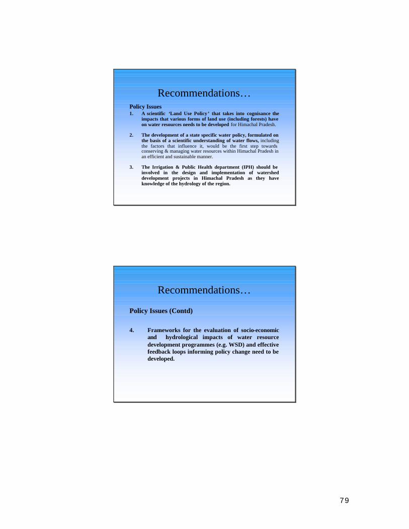
79
Recommendations…Policy Issues1. A scientific ‘Land Use Policy’ that takes into cognisance the
impacts that various forms of land use (including forests) have on water resources needs to be developed for Himachal Pradesh.
2. The development of a state specific water policy, formulated on the basis of a scientific understanding of water flows, including the factors that influence it, would be the first step towards conserving & managing water resources within Himachal Pradesh inan efficient and sustainable manner.
3. The Irrigation & Public Health department (IPH) should be involved in the design and implementation of watershed development projects in Himachal Pradesh as they have knowledge of the hydrology of the region.
Recommendations…
Policy Issues (Contd)
4. Frameworks for the evaluation of socio-economic and hydrological impacts of water resource development programmes (e.g. WSD) and effective feedback loops informing policy change need to be developed.
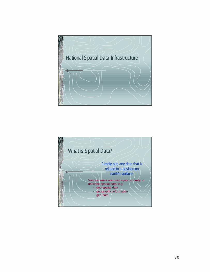
80
National Spatial Data Infrastructure
What is Spatial Data?
Simply put, any data that is related to a position on
earth’s surface. Various terms are used synonymously to describe spatial data; e.g.
- geo-spatial data- geographic information- geo-data
81
Conventionally “spatial data” is available in
the form of –
• Maps – Topographical, Geological, Soil, Cadastral, Forest, Hydrographic …
• Satellite Images
• Aerial Photographs
• Textual and Statistical Data
Data in conventional forms ( print / analogue ) is difficult to use because ….
Information content is fixed
82
Digital Technologies now enable
F easy integrationF easy storage of large volumesF easy, quick and selective retrievalF complex analysis
Advances in I.T., Communication andNetworking technologies enable largevolumes of diverse data-sets to be used in conjunction giving rise to the metaphor of
DATA INFRASTRUCTURESDATA INFRASTRUCTURES
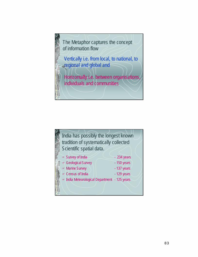
83
The Metaphor captures the concept of information flow
Vertically i.e. from local, to national, to regional and global and
Horizontally i.e. between organisations, individuals and communities
India has possibly the longest known tradition of systematically collected Scientific spatial data.F Survey of India - 234 yearsF Geological Survey - 150 yearsF Marine Survey - 137 yearsF Census of India - 129 yearsF India Meteorological Department - 125 years
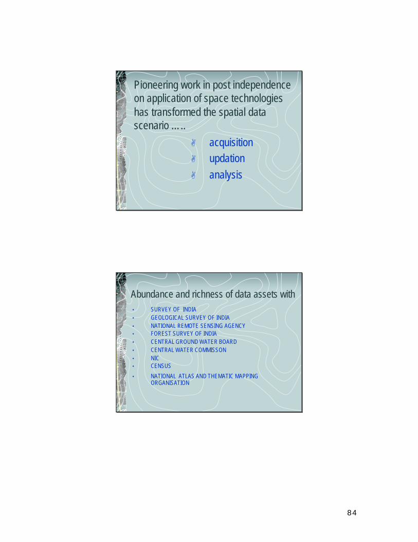
84
Pioneering work in post independence on application of space technologies has transformed the spatial data scenario …..
A acquisitionA updationA analysis
Abundance and richness of data assets with• SURVEY OF INDIA• GEOLOGICAL SURVEY OF INDIA• NATIONAL REMOTE SENSING AGENCY• FOREST SURVEY OF INDIA• CENTRAL GROUND WATER BOARD• CENTRAL WATER COMMISSON• NIC • CENSUS
• NATIONAL ATLAS AND THEMATIC MAPPING ORGANISATION
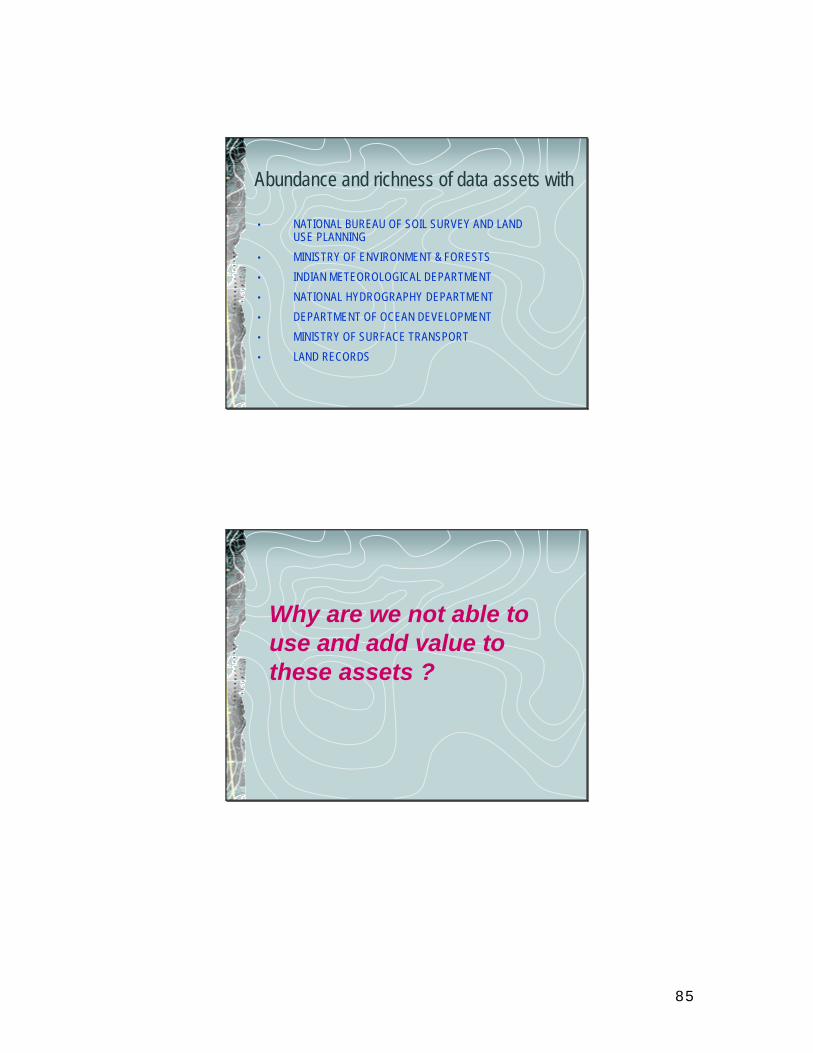
85
Abundance and richness of data assets with
• NATIONAL BUREAU OF SOIL SURVEY AND LAND USE PLANNING
• MINISTRY OF ENVIRONMENT & FORESTS
• INDIAN METEOROLOGICAL DEPARTMENT
• NATIONAL HYDROGRAPHY DEPARTMENT
• DEPARTMENT OF OCEAN DEVELOPMENT
• MINISTRY OF SURFACE TRANSPORT
• LAND RECORDS
Why are we not able to use and add value to these assets ?
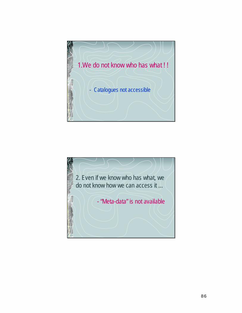
86
1.We do not know who has what ! !
- Catalogues not accessible
2. Even if we know who has what, we do not know how we can access it …
- “Meta-data” is not available
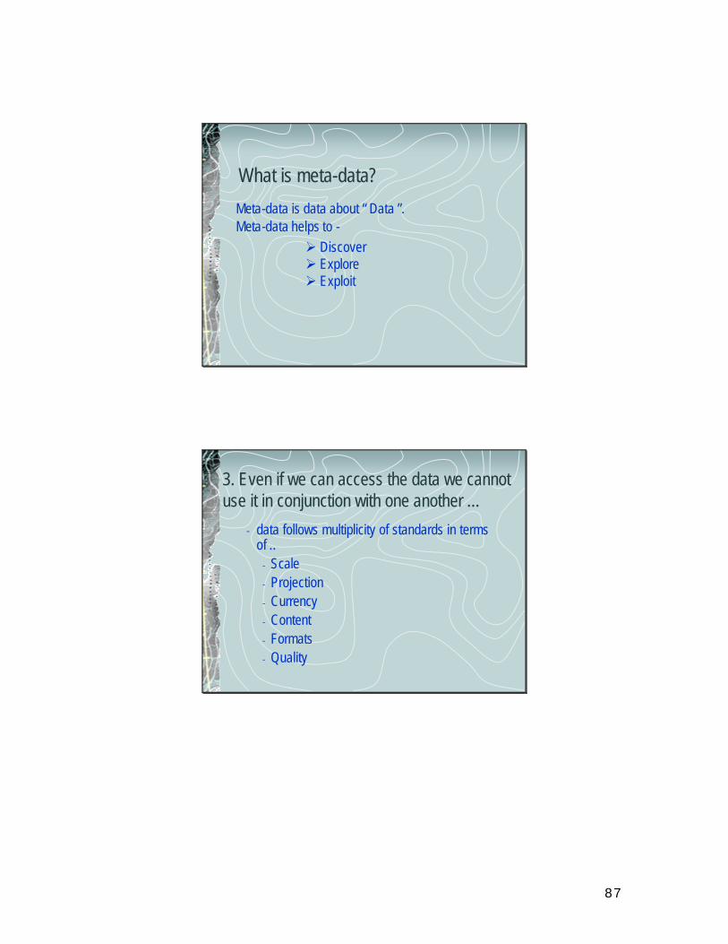
87
What is meta-data?
Meta-data is data about “ Data ”.Meta-data helps to -
Ø DiscoverØ ExploreØ Exploit
3. Even if we can access the data we cannot use it in conjunction with one another …
- data follows multiplicity of standards in terms of ..
- Scale- Projection- Currency- Content- Formats- Quality
88
4. Even if the data gets standardized, there may be …
- restrictive policy regimes
- reluctance to share
- stored in different locations
Solution ?
A Spatial Data InfrastructureA Spatial Data Infrastructure
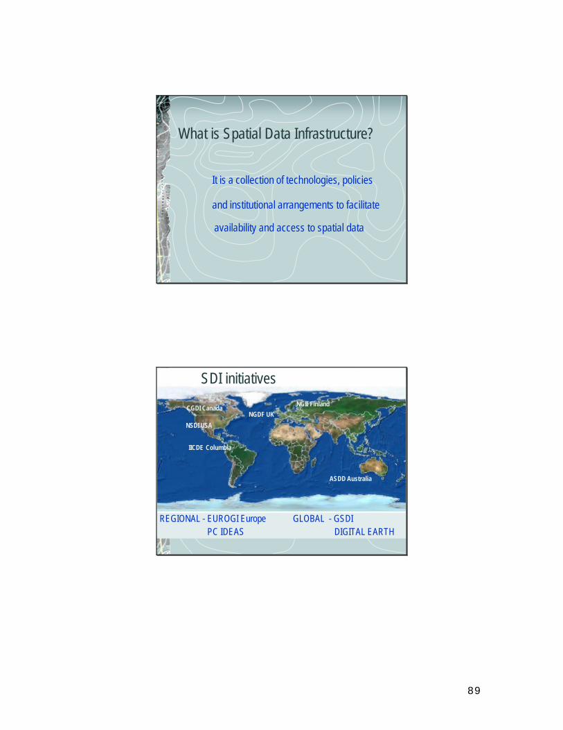
89
What is Spatial Data Infrastructure?
It is a collection of technologies, policies
and institutional arrangements to facilitate
availability and access to spatial data
SDI initiatives
ASDD Australia
CGDI Canada NGII FinlandNGDF UK
NSDI USA
IICDE Columbia
REGIONAL - EUROGI EuropePC IDEAS
GLOBAL - GSDIDIGITAL EARTH
90
Indian Initiative …..
NSDINSDI
- National Spatial Data Infrastructure
The NSDI Vision
National infrastructure for the availability of and access to organised spatial dataUse of the infrastructure at Community, Local, State, Regional and National levels for sustained economic growth
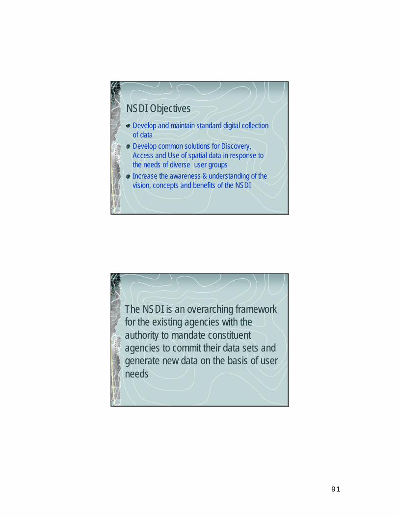
91
NSDI ObjectivesDevelop and maintain standard digital collection of dataDevelop common solutions for Discovery, Access and Use of spatial data in response to the needs of diverse user groupsIncrease the awareness & understanding of the vision, concepts and benefits of the NSDI
The NSDI is an overarching framework for the existing agencies with the authority to mandate constituent agencies to commit their data sets and generate new data on the basis of user needs
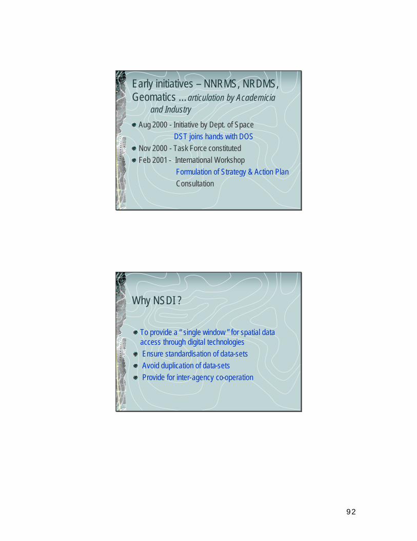
92
Early initiatives – NNRMS, NRDMS, Geomatics …articulation by Academicia
and Industry
Aug 2000 - Initiative by Dept. of SpaceDST joins hands with DOS
Nov 2000 - Task Force constitutedFeb 2001 - International Workshop
Formulation of Strategy & Action PlanConsultation
Why NSDI ?
To provide a “ single window ” for spatial data access through digital technologiesEnsure standardisation of data-setsAvoid duplication of data-setsProvide for inter-agency co-operation
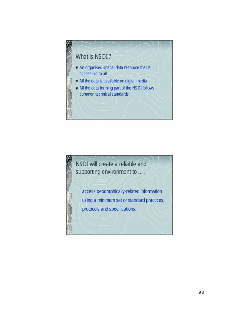
93
What is NSDI ?
An organised spatial data resource that is accessible to all
All the data is available on digital mediaAll the data forming part of the NSDI follows common technical standards
NSDI will create a reliable and supporting environment to ….
access geographically-related information
using a minimum set of standard practices,
protocols and specifications.
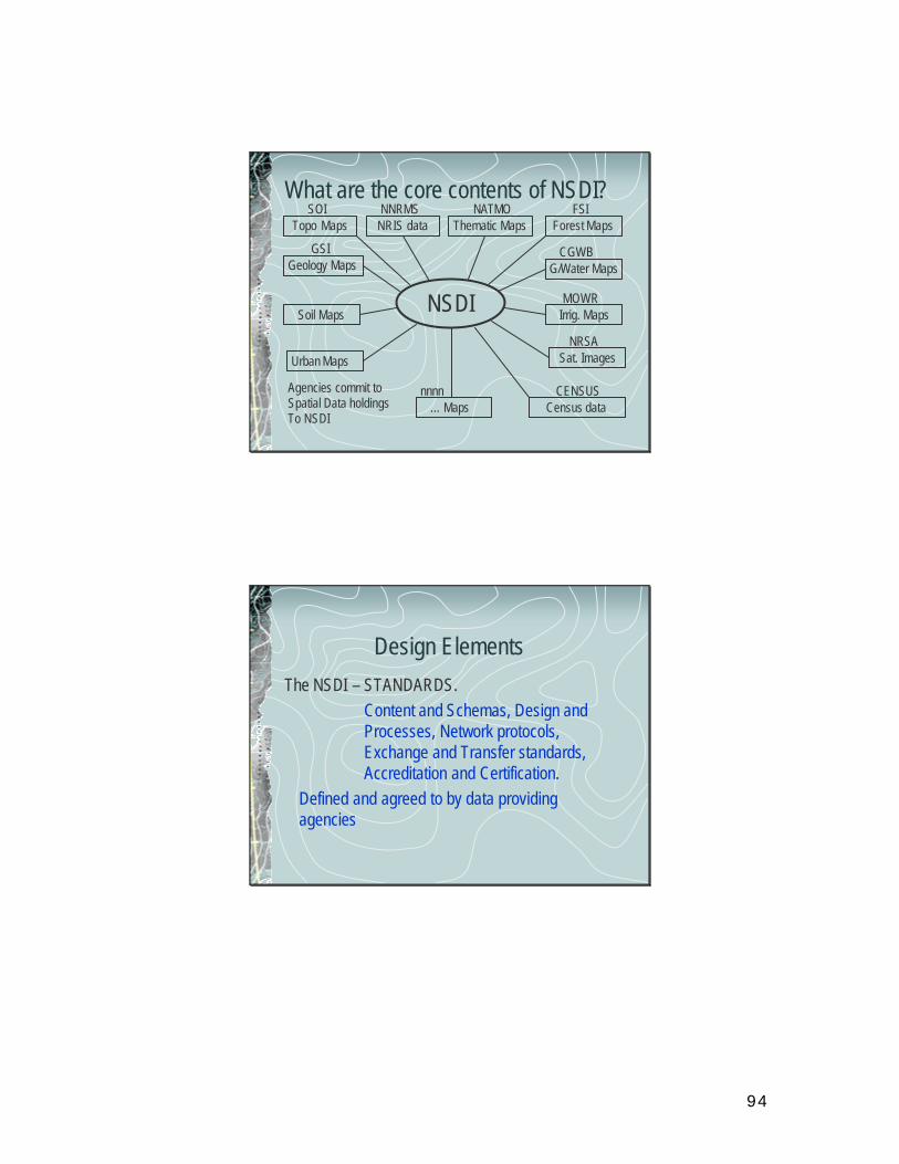
94
What are the core contents of NSDI?
NSDI
Topo Maps NRIS data Thematic Maps Forest Maps
Soil Maps
Geology Maps
Urban Maps
… Maps Census data
Sat. Images
Irrig. Maps
G/Water Maps
SOI NNRMS NATMO FSI
CGWB
MOWR
NRSA
CENSUSnnnnAgencies commit toSpatial Data holdingsTo NSDI
GSI
Design ElementsThe NSDI – STANDARDS.
Content and Schemas, Design and Processes, Network protocols, Exchange and Transfer standards, Accreditation and Certification.
Defined and agreed to by data providing agencies
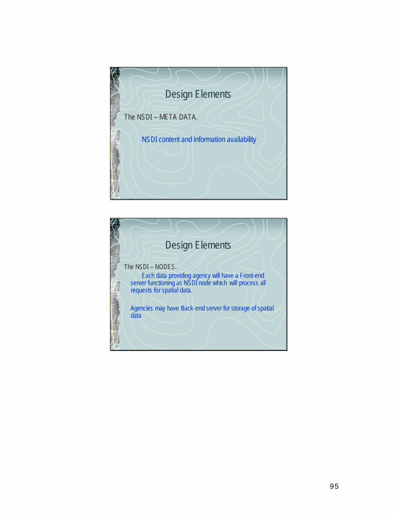
95
Design Elements
The NSDI – META DATA.
NSDI content and information availability
Design Elements
The NSDI – NODES.Each data providing agency will have a Front-end
server functioning as NSDI node which will process all requests for spatial data.
Agencies may have Back-end server for storage of spatial data
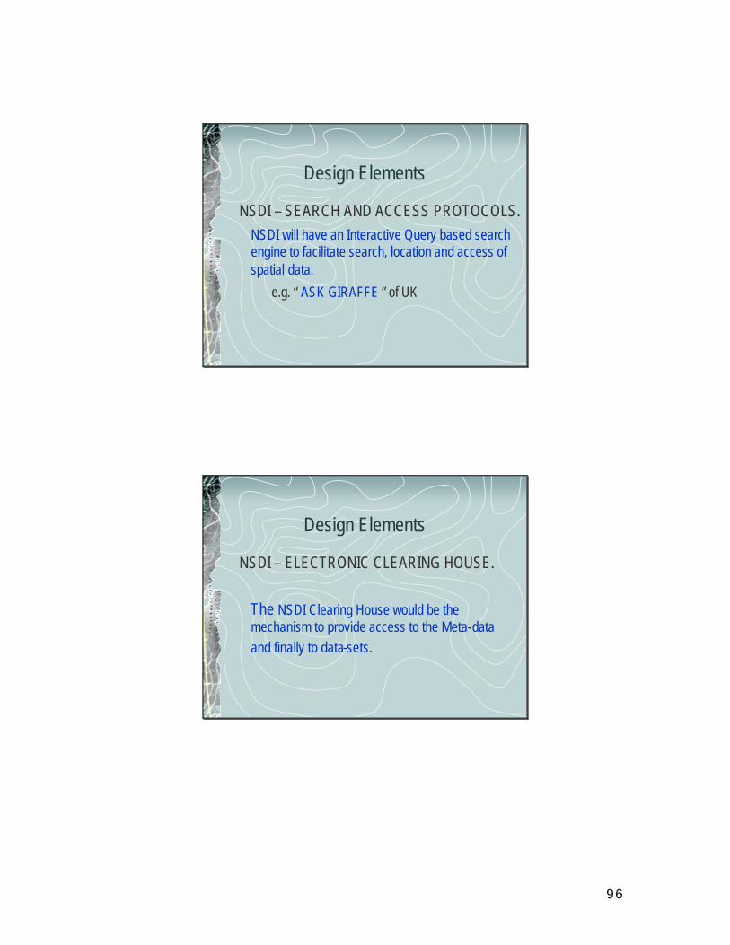
96
Design Elements
NSDI – SEARCH AND ACCESS PROTOCOLS.NSDI will have an Interactive Query based search engine to facilitate search, location and access of spatial data.
e.g. “ ASK GIRAFFE ” of UK
Design Elements
NSDI – ELECTRONIC CLEARING HOUSE.
The NSDI Clearing House would be the mechanism to provide access to the Meta-data and finally to data-sets.
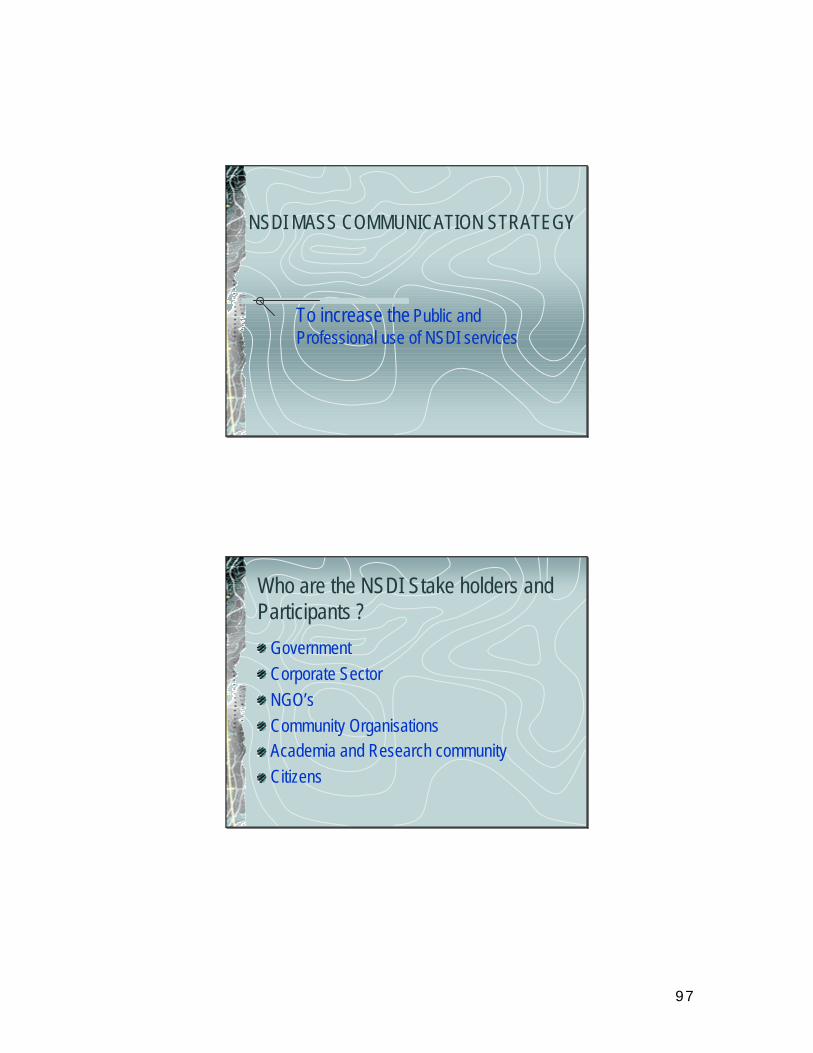
97
NSDI MASS COMMUNICATION STRATEGY
To increase the Public and Professional use of NSDI services
Who are the NSDI Stake holders and Participants ?
GovernmentCorporate SectorNGO’sCommunity OrganisationsAcademia and Research communityCitizens
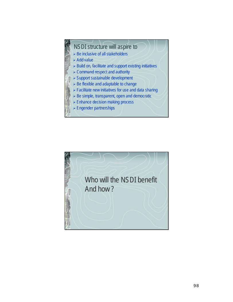
98
NSDI structure will aspire toØ Be inclusive of all stakeholdersØ Add valueØ Build on, facilitate and support existing initiativesØCommand respect and authorityØ Support sustainable developmentØ Be flexible and adaptable to changeØ Facilitate new initiatives for use and data sharingØ Be simple, transparent, open and democraticØ Enhance decision making processØ Engender partnerships
Who will the NSDI benefitAnd how ?
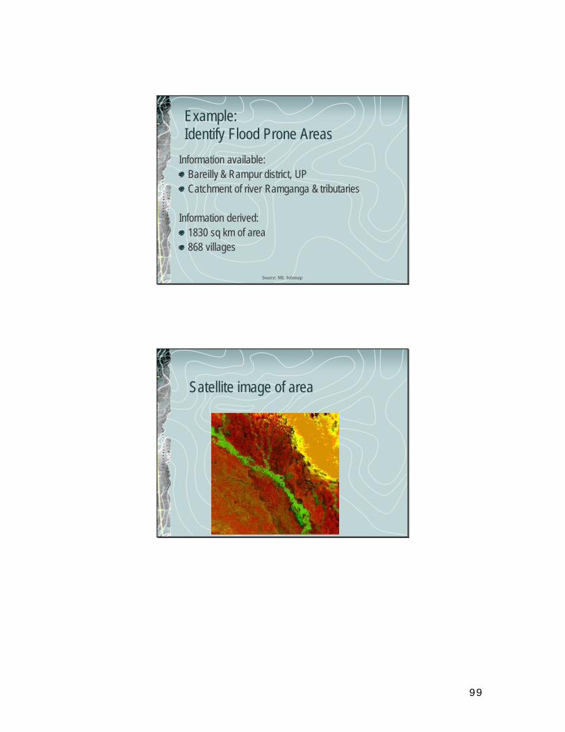
99
Source: ML Infomap
Example: Identify Flood Prone Areas
Information available:Bareilly & Rampur district, UPCatchment of river Ramganga & tributaries
Information derived:1830 sq km of area868 villages
Satellite image of area
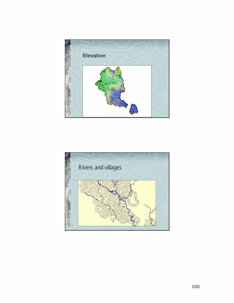
100
Elevation
Rivers and villages
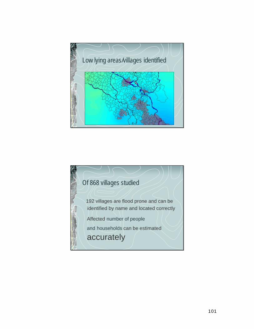
101
Low lying areas/villages identified
Of 868 villages studied
192 villages are flood prone and can beidentified by name and located correctly
Affected number of people
and households can be estimated
accurately
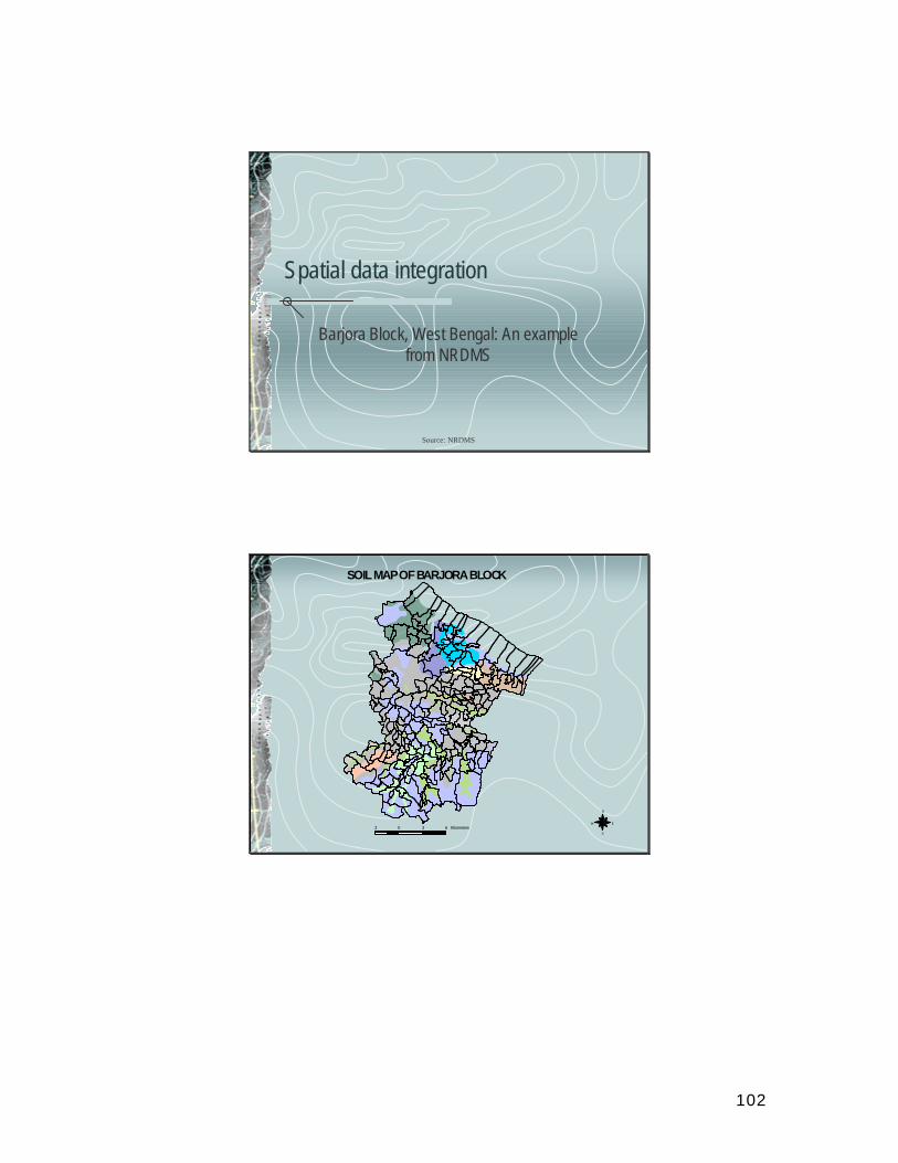
102
Source: NRDMS
Spatial data integration
Barjora Block, West Bengal: An example from NRDMS
SOILMAPOFBARJORABLOCK
N
EW
S3 0 3 6 Kilometers
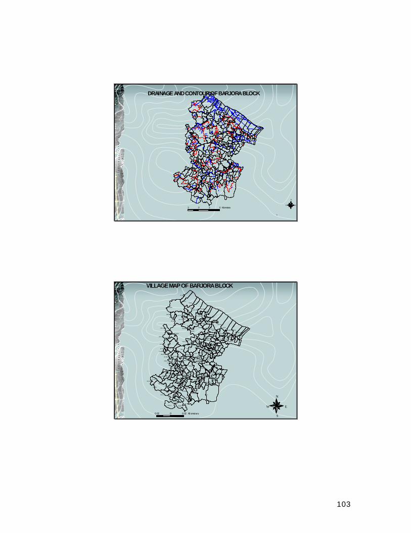
103
DRAINAGE ANDCONTOUROFBARJORABLOCK
S
8 0
60
100
100
60100
80
80
60
80
60
8 08 0
100
N
EW3 0 3 6 Kilometers
I
KU LDIH A
PI NGR UINAPARA
NETHYA LIM ALIARA
NATU NGRAMPRATAPP UR
SITARA MPUR
PAHA RPUR
TENTU LPOHA
KRI SHNA NAGAR
MO NOHAR
GO KULM ATHURA
SH ALGORANARI CHA
KIS HORI PUR
C HAKK ULOMABAG ULI
BAMAND IHI
TI KARGRA MBHABANI PUR
BARA PUKHU RIA
PUR AKON DA
RAGH UNATHPU RKAMAR SO L
GHUTG ORI A
JOYS INHAP UR
KA DASOLRANALEJO RA
TAJPUR
BHA GABAN PURBILM ALPUR
PA THRAJURI
PAKH ANNAB HAI RABPUR
SAH ARJORA
BO RJORA
SHYAM PUR
KAM ALA
CHAK ARABADBHA IRAB PUR PASCHI M
PAKHA NNA
NAM ABAD SITAR AMPU R
RADHAKA NTAPUR
G OPALPU R
RAJMA DHABPURBASUD A
MUK TATORE
TAJPUR RAM PUR
RAJPR ASADPURBELES HOLA
SO NARGR AM HARI NGARA
MAN AGRAM
SITALP UR
BASUDEBP UR UTTARBIR SIN HAPUR
SHALDANG A
BALARAM PUR( PUR BA )
PAKHANN APRA TAPPUR
SURA LPUR
PALASHB ANIDEJURI
HAT ASURI AKAMALPU R
CHAK KESYA MA DARBON ISAH EBDI HIBI SHANPU RD EU CHA
SHI TLAKO CHKUND A D EWAN GARYA
KUSUM GARY ASARALIS HUSUNI A
HAR IRAM PUR CHAN DANIPAYERM OHA NBA HARGAR YA
MADAN HATIKANCHA NPUR
UARA TALAN JUI
GUR URBADKHAN RARINU JI GARYA
NAI KONARAD HANAG AR
BA LGUMA GOU RM OHANP UR
KO TALPUKU R
SANG RAMP UR
KRI SHNA BATISA NKARARAKAN TIBAN D
MANJUM RA
MAH IDHA RAPU RNI A
MA NOHA RBATI
ARJUNI
GOPI BANDH IPABYA NBHAR AKHULI A
R ADHAB ALLAVPURD AK AIS INI METIA NA RAYANPUR
LAX MI NAR AY ANPUR
DATHI MAK HA
BELIA NAR AYANPU R
HAREK RIS HNAPURKALPAI NI
G ANGAD HARPUR RADHARA MANPU R
GADA RDI HINI RISH A GADA RDI BALARA MPUR
SARA GORADHAR AMPU R
D HAWJAM ONI PUR
BAN SOL
BI RSI NGPU R
JAGAN NATHPUR
MAJUD DAG RA G OBIN DAPURJHARI A
PURUSA TTAMPU R
PHULBE RIA
MUKT APURDAM ODA RPURMA LK URI YA
BE LUT
EKARYA
E NAYETPU R ASASOLAKURU RIA BALARAM PUR
BHAIR ABPURLALBAZARKU RURI A KOD MA
BANKUR ARDAN GABHAI RABDAN GARAJGANJ MAD HABPUR
RO UTARABANDA RKODAGO SAINP UR
DANGAR PARABAHA DURPU R
KALLASO NAGO RANAM AGHAN SARAKALB ERIAOLTA RA BO RKURA
MATH URADANG A
BELIA TO RE
N UTANGR AM
BENAC HOPRA
AMTHI ACHOLLA
MATH URA BERI A
KANC HHALAKR ISHN APUR
NABASANTALA NDA
SAM ANTAM ARA KANTA BESHAMUR AKATA
SHY AMDAS PUR
RADH AKANTAP UR
RAJMA DHABPUR
GO BIND APUR
RAMC HANDR APURN ITYANA NDAPURB RIND ABANPU R
GANGA BANDHCHAN DAIBO TRA MCHAN DRAPU RCH HADAR
PAS CHIM BR INDA BANPURPATASPUR
DHABA NIGOPI NATHPU R
BHA BARKOLA
SRI KRI SHNAP UR
SWARGAB ATISAULI A
PALS ARA HARI SHPUR
JO YKRI SHNA SAREN GA KUS HMA
METH ENASIRS A
SALUK A
CHAND ANPURLADN A
BARA BENDYA
R AMHAR IPUR
JOYTU NGA
DENGAKE NDJORSH AL
ASUR AMADHABPUR
VILLAGEMAPOF BARJORABLOCK
N
EW
S0.02 0 0.02 Kil ometers
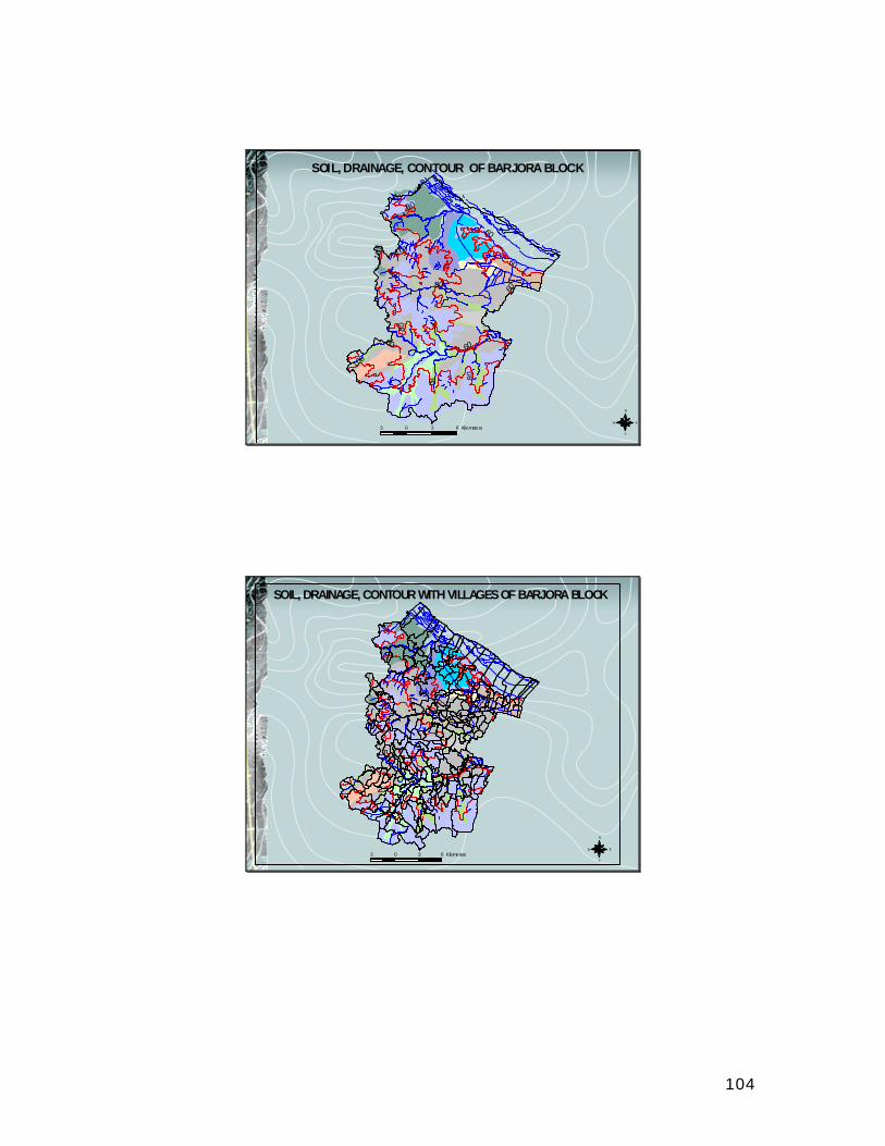
104
80
60
100
100
60100
80
80
60
80
60
80
80
100
SOIL, DRAINAGE, CONTOUR OF BARJORA BLOCK
N
EW
S3 0 3 6 Kilometers
SOIL, DRAINAGE, CONTOUR WITH VILLAGESOF BARJORA BLOCK
N
EW
S3 0 3 6 Kilometers
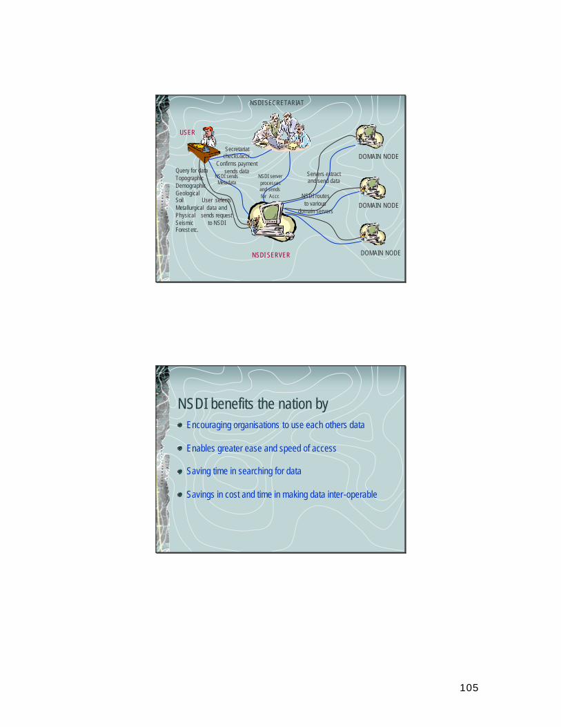
105
USER
NSDI SERVER
DOMAIN NODE
DOMAIN NODE
DOMAIN NODE
NSDI SECRETARIAT
Query for dataTopographicDemographicGeologicalSoilMetallurgicalPhysicalSeismicForest etc.
NSDI sendsMetadata
User selectsdata and
sends requestto NSDI
NSDI routesto various
domain servers
Servers extractand send data
NSDI serverprocessesand sendsfor Accr.
Secretariatchecks/accr.
Confirms paymentsends data
NSDI benefits the nation byEncouraging organisations to use each others data
Enables greater ease and speed of access
Saving time in searching for data
Savings in cost and time in making data inter-operable
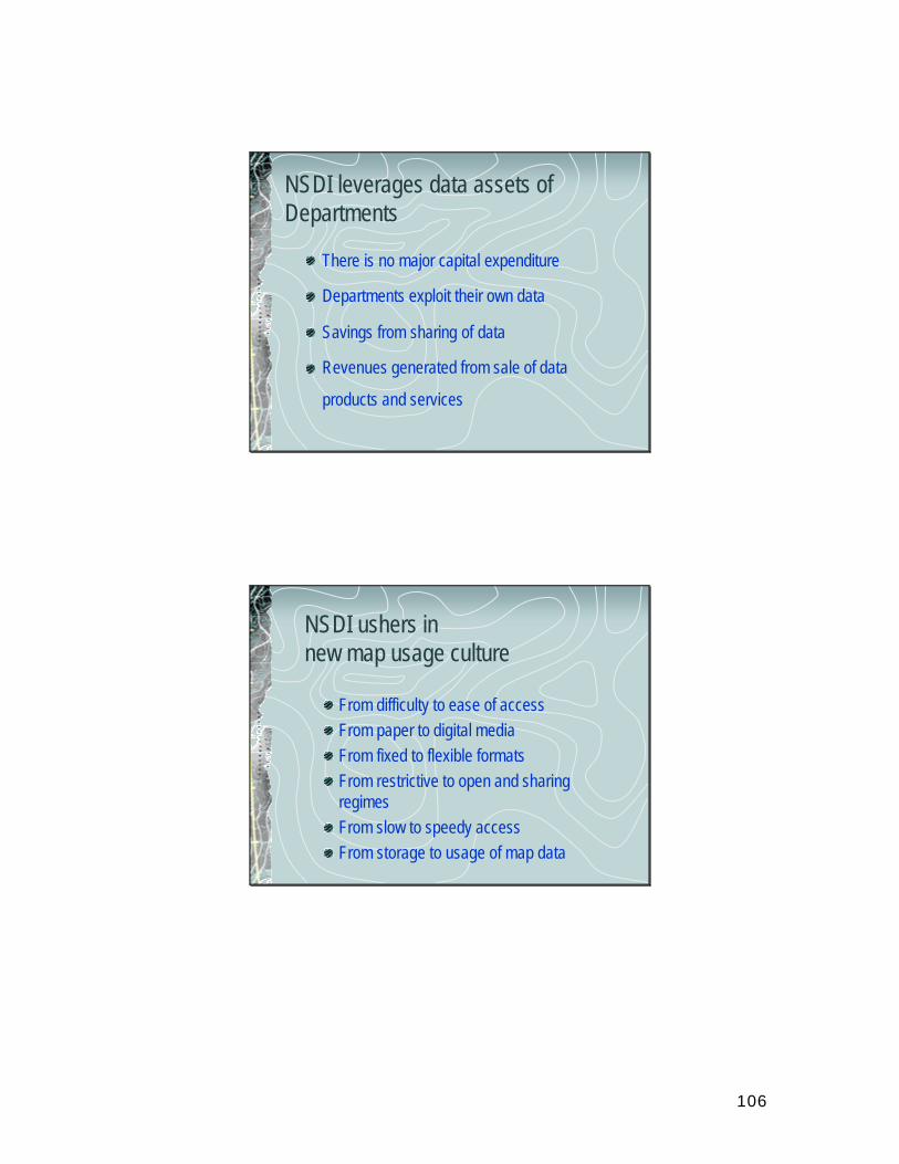
106
NSDI leverages data assets of Departments
There is no major capital expenditure
Departments exploit their own data
Savings from sharing of data
Revenues generated from sale of data
products and services
NSDI ushers in new map usage culture
From difficulty to ease of accessFrom paper to digital mediaFrom fixed to flexible formatsFrom restrictive to open and sharing regimesFrom slow to speedy accessFrom storage to usage of map data
107
Revenue generation for Businessesby meeting user requirements
By value adding to data, eg., map and format conversion services By developing products, eg., thematic atlasesBy acquiring of large scale and detailed dataBy developing context specific software tools and utilities
T h a n k Y o ufor your presence,
your attention
and your time !
108
Himachal Pradesh Resources Map
Indian Institute of Technology, Delhi
Himachal Pradesh Resources Map
] Contours : 1:250,000] Drainage Network: 1:250,000] Roads, Railways: 1:250,000] Landuse:] Soil: 1:500,000] Administrative units
– Districts– Tehsils– Block/Kanango circle– NP/ Patwari circles– Cities, Towns
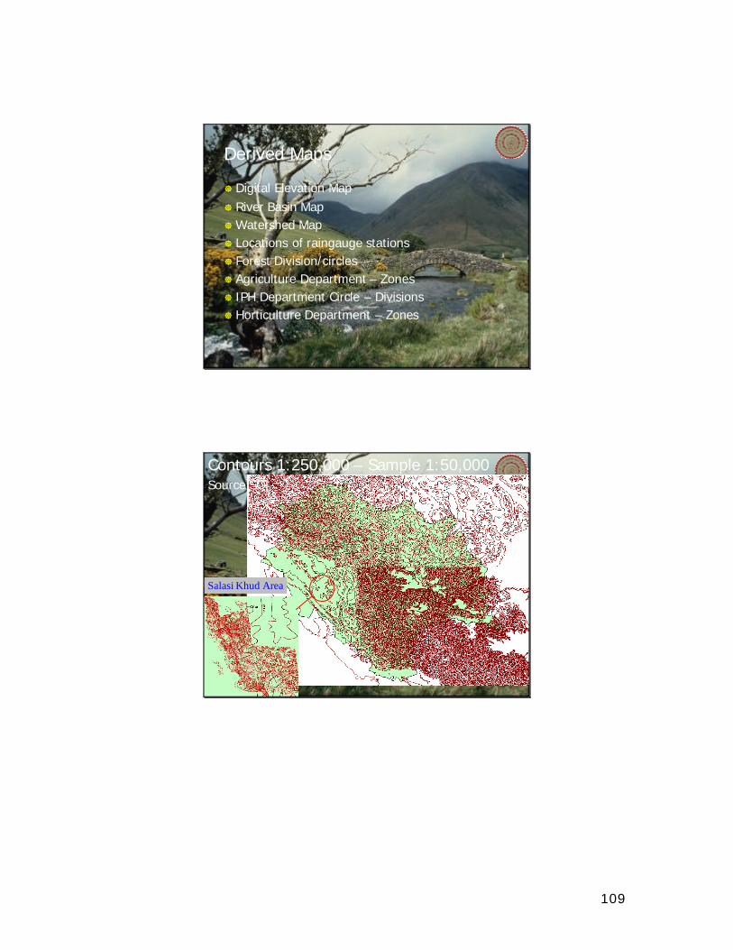
109
Derived Maps
] Digital Elevation Map] River Basin Map]Watershed Map] Locations of raingauge stations] Forest Division/circles] Agriculture Department – Zones] IPH Department Circle – Divisions] Horticulture Department – Zones
Contours 1:250,000 – Sample 1:50,000
Salasi Khud Area
Source SOI
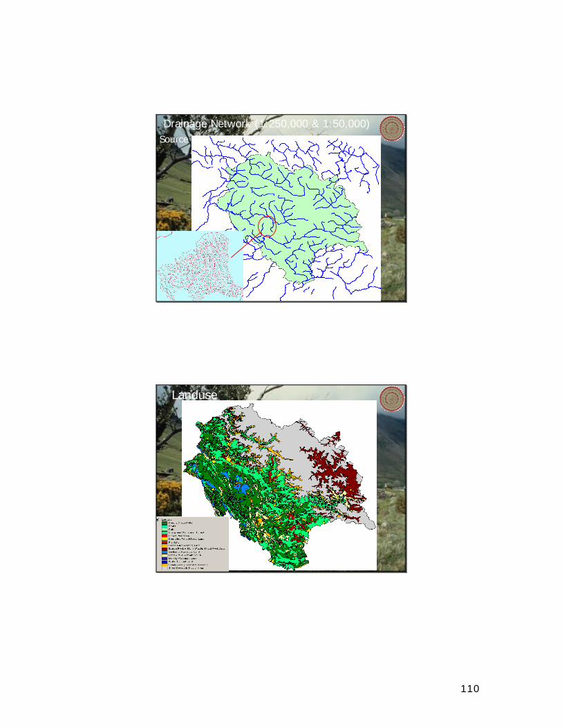
110
Drainage Network (1:250,000 & 1:50,000)Source SOI
LanduseSource Satellite Imagery
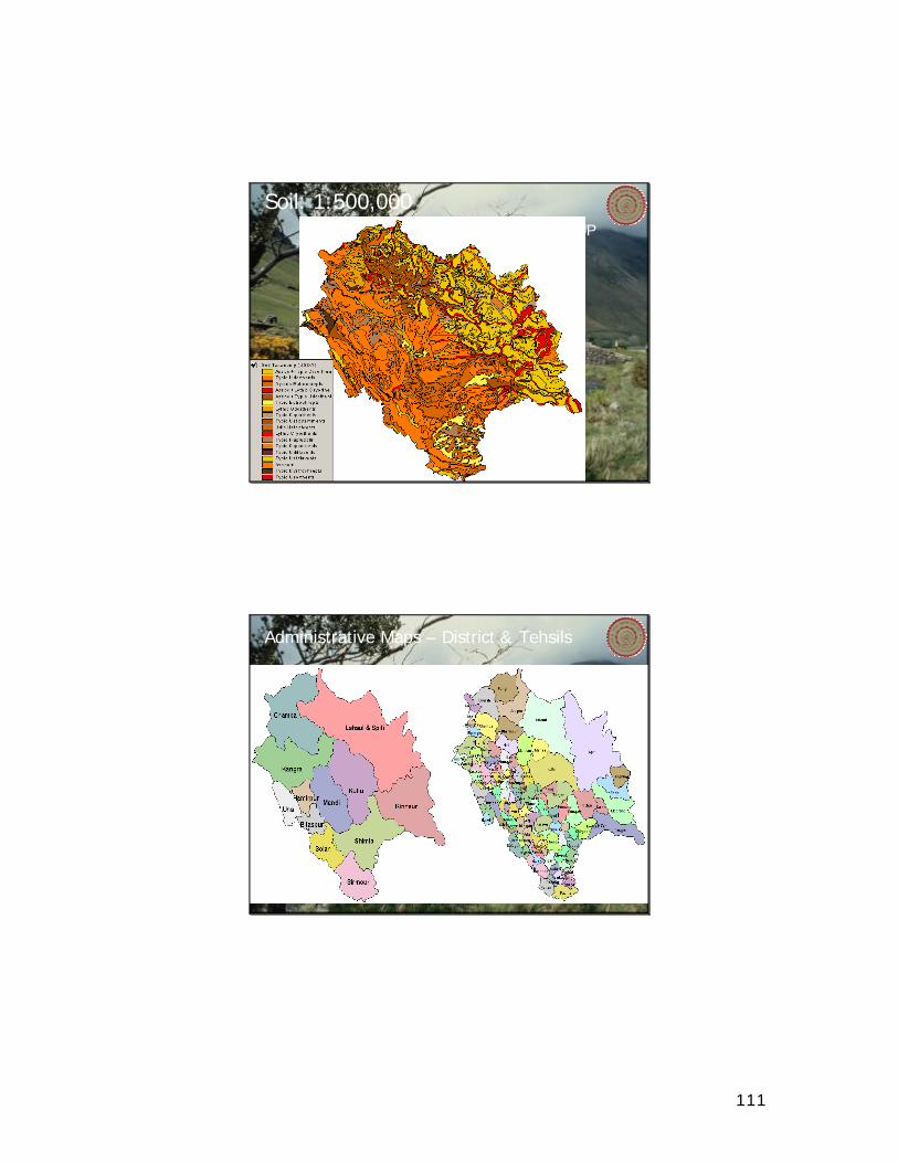
111
Soil: 1:500,000Source NBSSLUP
Administrative Maps – District & Tehsils
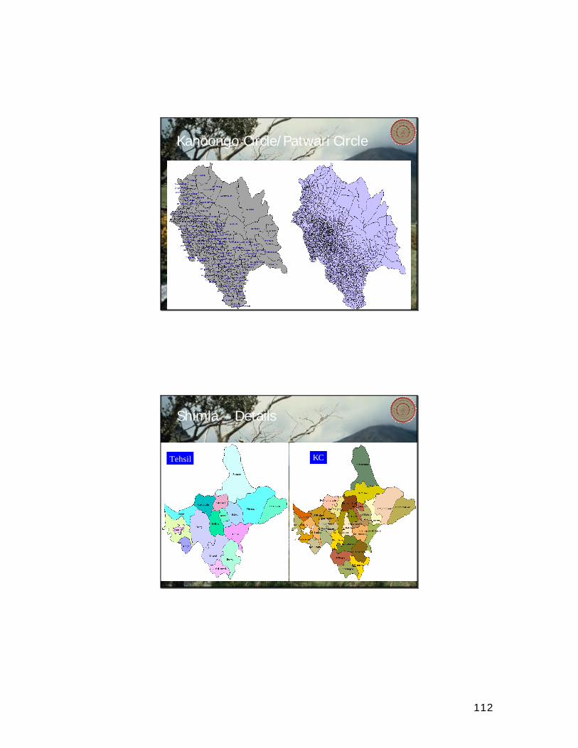
112
Kanoongo Circle/Patwari Circle
Shimla – Details
Tehsil KC
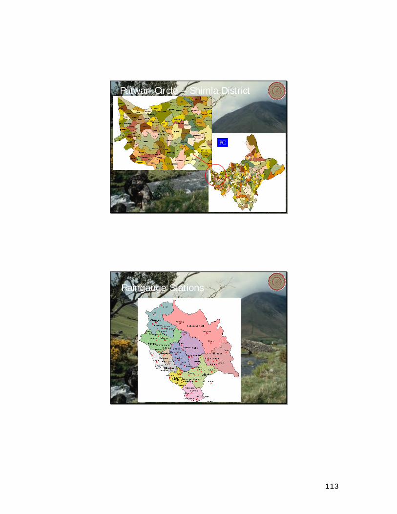
113
Patwari Circle – Shimla District
PC
Raingauge Stations
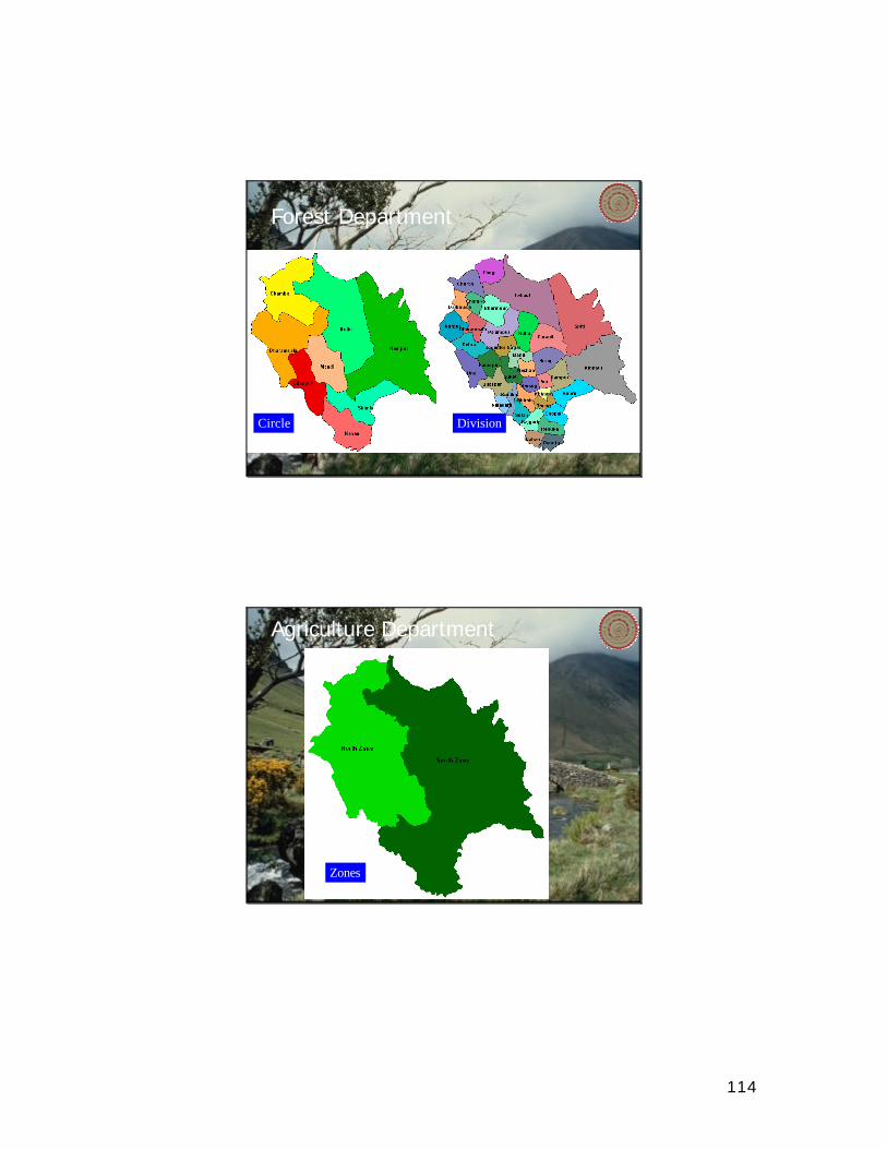
114
Forest Department
Circle Division
Agriculture Department
Zones
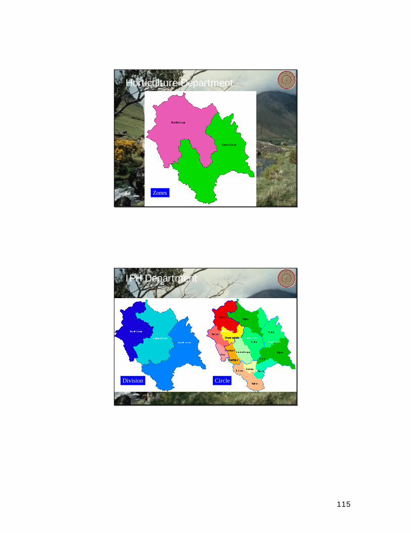
115
Horticulture Department
Zones
IPH Department
Division Circle
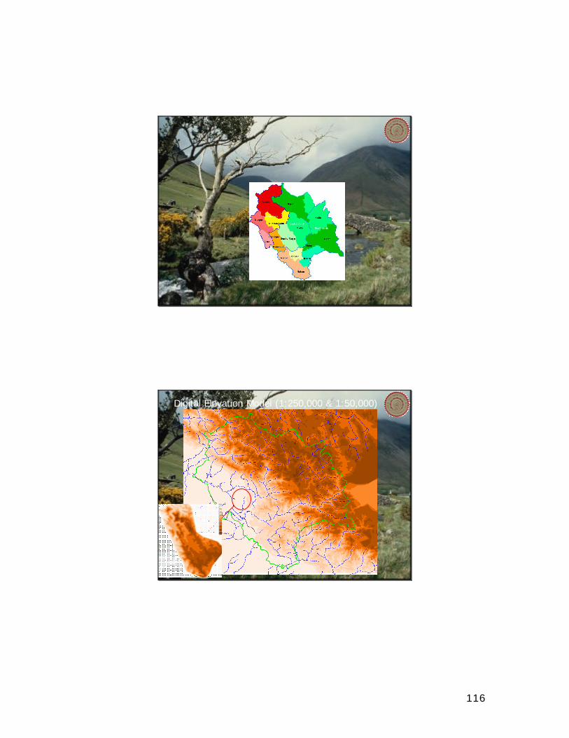
116
Digital Elevation Model (1:250,000 & 1:50,000)
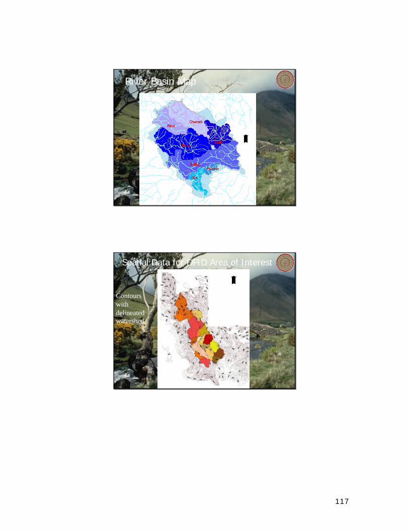
117
River Basin Map
Spatial Data for DFID Area of Interest
Contours withdelineated watershed
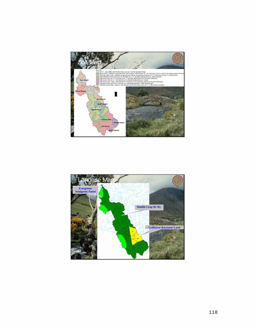
118
Soil Map
Landuse Map
Double Crop (K+R)
Evergreen/Semigreen Forest
Gullied or Ravenous Land

119
Intervention Map
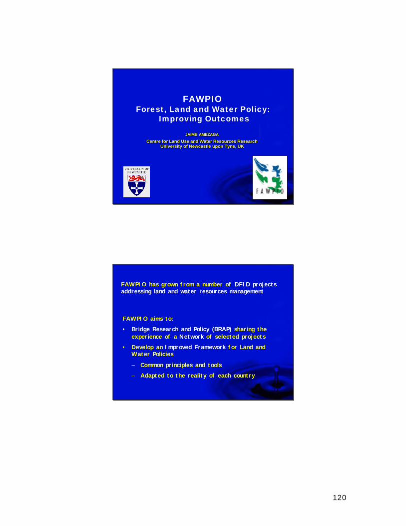
120
FAWPIOForest, Land and Water Policy:
Improving Outcomes
JAIME AMEZAGA
Centre for Land Use and Water Resources ResearchUniversity of Newcastle upon Tyne, UK
JAIME AMEZAGA
Centre for Land Use and Water Resources ResearchUniversity of Newcastle upon Tyne, UK
FAWPIO has grown from a number of DFID projects addressing land and water resources management
FAWPIO aims to:
• Bridge Research and Policy (BRAP) sharing the experience of a Network of selected projects
• Develop an Improved Framework for Land and Water Policies
– Common principles and tools
– Adapted to the reality of each country
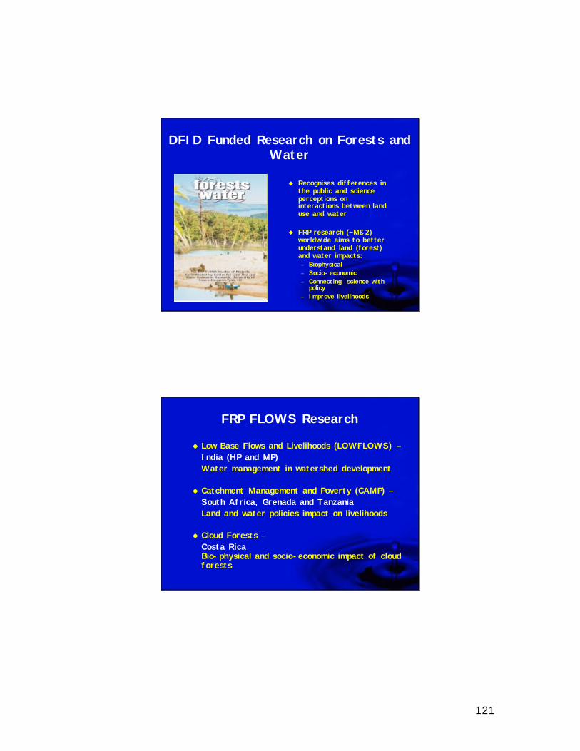
121
DFID Funded Research on Forests and Water
u Recognises differences in the public and science perceptions on interactions between land use and water
u FRP research (~M£2) worldwide aims to better understand land (forest) and water impacts:– Biophysical– Socio-economic– Connecting science with
policy– Improve livelihoods
FRP FLOWS Research
u Low Base Flows and Livelihoods (LOWFLOWS) –India (HP and MP)Water management in watershed development
u Catchment Management and Poverty (CAMP) –South Africa, Grenada and TanzaniaLand and water policies impact on livelihoods
u Cloud Forests –Costa RicaBio-physical and socio-economic impact of cloud forests

122
FAWPIO DFID Projects
u India– WHIRL– KAWAD– APRLP– WORLP
uChinauBangladeshuVietnam
THE BRAP NETWORKS AIM TO LINK DECISION MAKERS AT ALL LEVELS WITH THEIR COUNTERPARTS IN
OTHER COUNTRIES
123
• Coordination Unit at UNEW (UK) in collaboration with DFID Water Policy Unit (London)
• Nodes at participant countries (INDIA-IIT Delhi) with DFID Country Programmes
• Interactions with International Organizations:
– Global Water Partnership (GWP)
– Challenge Programme (IWMI)
– Funders (DFID, World Bank, EU)
FAWPIO BRAP Networks
FAWPIO BRAP Networks
• Nodes are based on hands-on experience of IMPLEMENTATION of improved land and water policy frameworks
• They build on peer-to-peer relationships to influence and promote implementation of new ideas
• They will be promoted as international best practice
– GWP Toolbox
– Guidelines for Governments
– Guidelines for external assistance programmes
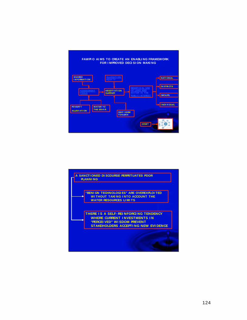
124
FAWPIO AIMS TO CREATE AN ENABLING FRAMEWORK FOR IMPROVED DECISION MAKING
NATIONAL
DISTRICTS
INDIVIDUAL
GROUPS
NEGOTIATION SUPPORT
BENEFICIAL USE OF LAND AND WATER IN THE PUBLIC INTEREST
ALLOCATION EQUITY
GWP IWRM TOOLBOX
ASSESSMENT TOOLS
WATER TO THE ENVIR.
POVERTY
ALLEVIATION
SHARED INFORMATION
HOW?
A SANCTIONED DISCOURSE PERPETUATES POOR PLANNING
“BENIGN TECHNOLOGIES” ARE OVEREXPLOITED WITHOUT TAKING INTO ACCOUNT THE WATER RESOURCES LIMITS
THERE IS A SELF-REINFORCING TENDENCY WHERE CURRENT INVESTMENTS IN “PERCEIVED” WISDOM PREVENT STAKEHOLDERS ACCEPTING NEW EVIDENCE
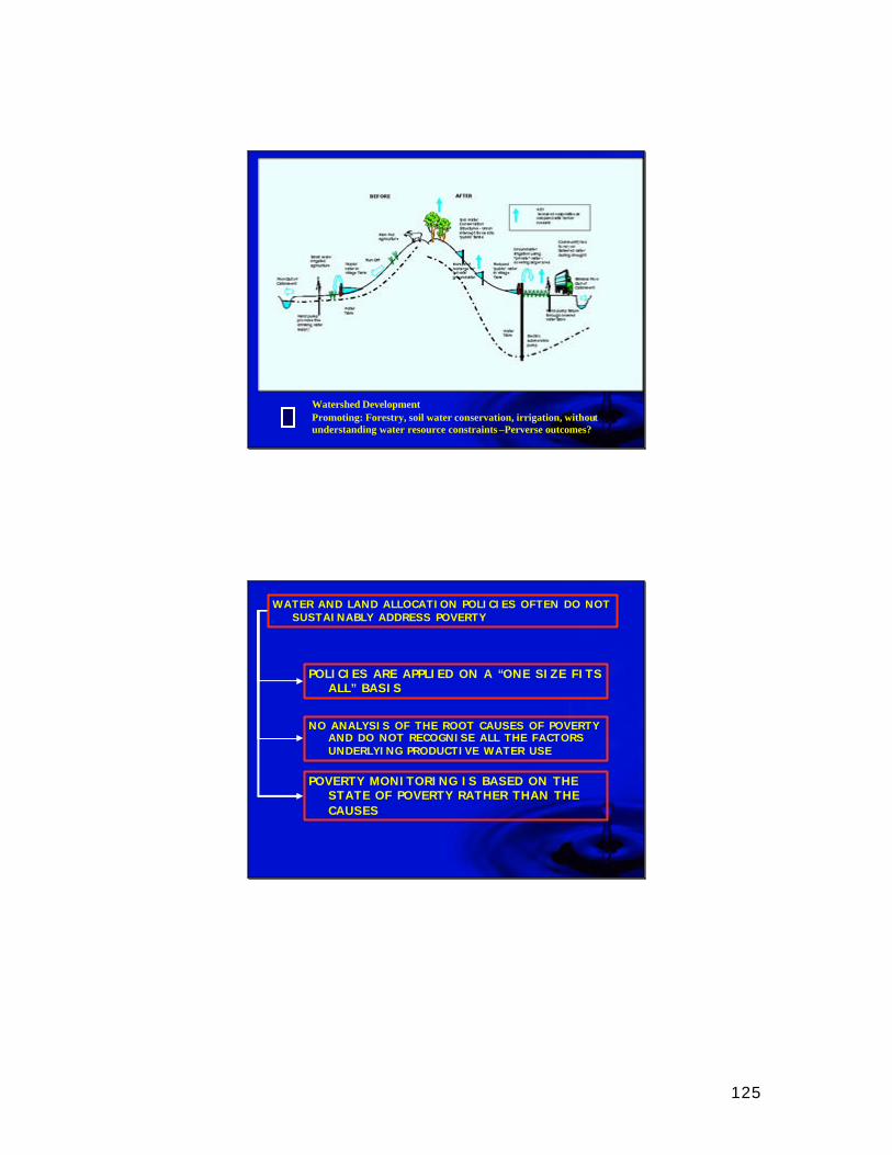
125
Watershed DevelopmentPromoting: Forestry, soil water conservation, irrigation, without understanding water resource constraints –Perverse outcomes?
WATER AND LAND ALLOCATION POLICIES OFTEN DO NOT SUSTAINABLY ADDRESS POVERTY
POLICIES ARE APPLIED ON A “ONE SIZE FITS ALL” BASIS
NO ANALYSIS OF THE ROOT CAUSES OF POVERTY AND DO NOT RECOGNISE ALL THE FACTORS UNDERLYING PRODUCTIVE WATER USE
POVERTY MONITORING IS BASED ON THE STATE OF POVERTY RATHER THAN THE CAUSES
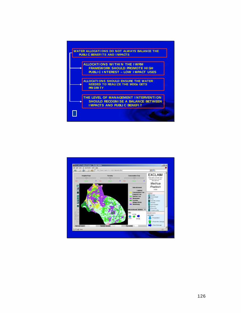
126
WATER ALLOCATIONS DO NOT ALWAYS BALANCE THE PUBLIC BENEFITS AND IMPACTS
ALLOCATIONS WITHIN THE IWRM FRAMEWORK SHOULD PROMOTE HIGH PUBLIC INTEREST – LOW IMPACT USES
ALLOCATIONS SHOULD ENSURE THE WATER NEEDED TO REALIZE THE MDGs GETS PRIORITY
THE LEVEL OF MANAGEMENT INTERVENTION SHOULD RECOGNISE A BALANCE BETWEEN IMPACTS AND PUBLIC BENEFIT
127
THANKS
Forest, Land and Water Policy:Improving Outcomes

128
Copyright © 2022 FDOKUMEN