PETA TOPOGRAFI KABUPATEN LAMPUNG ... -...
1
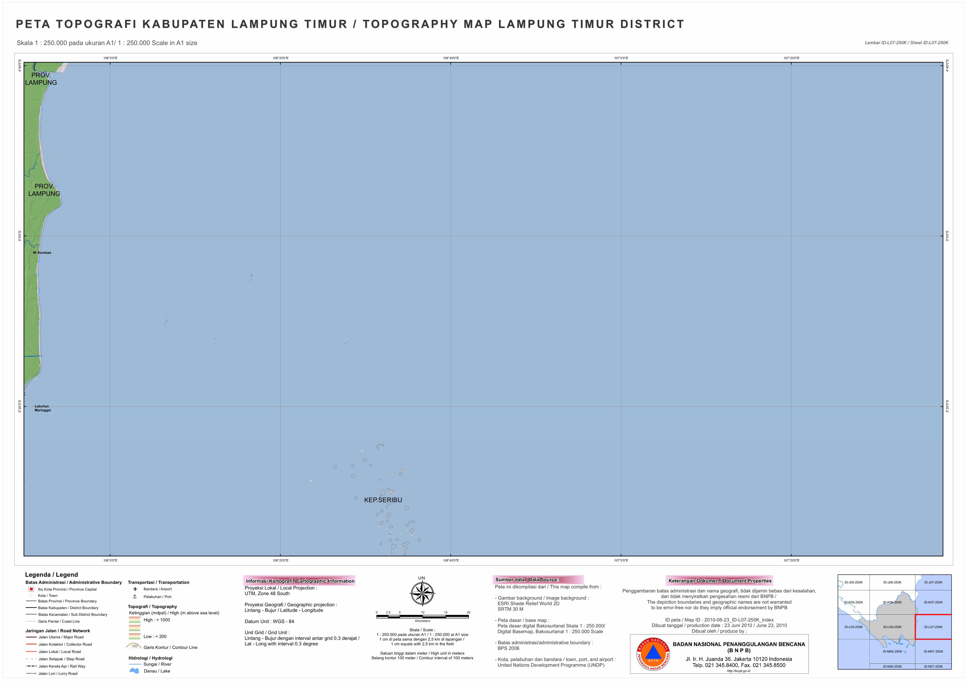
Î KEP.SERIBU PROV. LAMPUNG PROV. LAMPUNG W. Kambas Labuhan Maringgai 0 107°20'0"E 107°20'0"E 107°0'0"E 107°0'0"E 106°40'0"E 106°40'0"E 106°20'0"E 106°20'0"E 106°0'0"E 106°0'0"E 4°40'0"S 4°40'0"S 5°0'0"S 5°0'0"S 5°20'0"S 5°20'0"S PETA TOPOGRAFI KABUPATEN LAMPUNG TIMUR / TOPOGRAPHY MAP LAMPUNG TIMUR DISTRICT PETA TOPOGRAFI KABUPATEN LAMPUNG TIMUR / TOPOGRAPHY MAP LAMPUNG TIMUR DISTRICT ID-L06-250K ID-K06-250K ID-M06-250K ID-L07-250K ID-K07-250K ID-M07-250K ID-L05-250K ID-K05-250K ID-J06-250K ID-J07-250K ID-J05-250K ID-N06-250K ID-N07-250K Skala 1 : 250.000 pada ukuran A1/ 1 : 250.000 Scale in A1 size Lembar ID-L07-250K / Sheet ID-L07-250K 0 5 10 15 20 2.5 Kilometers Skala / Scale : 1 : 250.000 pada ukuran A1 / 1 : 250.000 at A1 size 1 cm di peta sama dengan 2,5 km di lapangan / 1 cm equals with 2,5 km in the field Satuan tinggi dalam meter / High unit in meters Selang kontur 100 meter / Contour interval of 100 meters ID peta / Map ID : 2010-06-23_ID-L07-250K_index Dibuat tanggal / production date : 23 Juni 2010 / June 23, 2010 Dibuat oleh / produce by : Keterangan Dokumen / Document Properties ¾ U/N Legenda / Legend Batas Administrasi / Administrative Boundary Ketinggian (mdpal) / High (m above sea level) Jaringan Jalan / Road Network High : > 1000 Low : < 200 Topografi / Topography Hidrologi / Hydrologi Danau / Lake Batas Provinsi / Province Boundary Batas Kabupaten / District Boundary Batas Kecamatan / Sub District Boundary Garis Kontur / Contour Line 100 Ibu Kota Provinsi / Province Capital " ) " Jalan Utama / Major Road Jalan Lokal / Local Road Jalan Setapak / Step Road Jalan Lori / Lorry Road Transportasi / Transportation o Î Bandara / Airport Pelabuhan / Port Garis Pantai / Coast Line ! ( Kota / Town Jalan Kolektor / Collector Road Jalan Kereta Api / Rail Way Sungai / River Penggambaran batas administrasi dan nama geografi, tidak dijamin bebas dari kesalahan, dan tidak menyiratkan pengesahan resmi dari BNPB / The depiction boundaries and geographic names are not warranted to be error-free nor do they imply official endorsement by BNPB Peta ini dikompilasi dari / This map compile from : - Gambar background / Image background : ESRI Shade Relief World 2D SRTM 30 M - Peta dasar / base map : Peta dasar digital Bakosurtanal Skala 1 : 250.000/ Digital Basemap, Bakosurtanal 1 : 250.000 Scale - Batas administrasi/administrative boundary : BPS 2006 - Kota, pelabuhan dan bandara / town, port, and airport : United Nations Development Programme (UNDP) Sumber data / Data Source: Proyeksi Lokal / Local Projection : UTM, Zone 48 South Proyeksi Geografi / Geographic projection : Lintang - Bujur / Latitude - Longitude Datum Unit : WGS - 84 Unit Grid / Grid Unit : Lintang - Bujur dengan interval antar grid 0.3 derajat / Lat - Long with interval 0.3 degree Informasi Kartografi / Cartographic Information http://bnpb.go.id
Transcript of PETA TOPOGRAFI KABUPATEN LAMPUNG ... -...
Î
KEP. SERIBU
PROV.LAMPUNG
PROV.LAMPUNG
W. Kambas
LabuhanMaringgai
0
107°20'0"E
107°20'0"E
107°0'0"E
107°0'0"E
106°40'0"E
106°40'0"E
106°20'0"E
106°20'0"E
106°0'0"E
106°0'0"E
4°40'0
"S
4°40'0
"S
5°0'0"
S
5°0'0"
S
5°20'0
"S
5°20'0
"S
PE TA TO P O G R A F I K A B U PAT E N L A M P U N G T I M U R / TO P O G R A P H Y M A P L A M P U N G T IM U R D I S T R I C TPE TA TO P O G R A F I K A B U PAT E N L A M P U N G T I M U R / TO P O G R A P H Y M A P L A M P U N G T IM U R D I S T R I C T
ID-L06-250K
ID-K06-250K
ID-M06-250K
ID-L07-250K
ID-K07-250K
ID-M07-250K
ID-L05-250K
ID-K05-250K
ID-J06-250K ID-J07-250KID-J05-250K
ID-N06-250K ID-N07-250K
Skala 1 : 250.000 pada ukuran A1/ 1 : 250.000 Scale in A1 size Lembar ID-L07-250K / Sheet ID-L07-250K
0 5 10 15 202.5
Kilometers
Skala / Scale :1 : 250.000 pada ukuran A1 / 1 : 250.000 at A1 size
1 cm di peta sama dengan 2,5 km di lapangan / 1 cm equals with 2,5 km in the field
Satuan tinggi dalam meter / High unit in metersSelang kontur 100 meter / Contour interval of 100 meters
ID peta / Map ID : 2010-06-23_ID-L07-250K_indexDibuat tanggal / production date : 23 Juni 2010 / June 23, 2010
Dibuat oleh / produce by :
Keterangan Dokumen / Document Properties¾U/NLegenda / LegendBatas Administrasi / Administrative Boundary
Ketinggian (mdpal) / High (m above sea level)
Jaringan Jalan / Road Network
High : > 1000
Low : < 200
Topografi / Topography
Hidrologi / Hydrologi
Danau / Lake
Batas Provinsi / Province BoundaryBatas Kabupaten / District BoundaryBatas Kecamatan / Sub District Boundary
Garis Kontur / Contour Line100
Ibu Kota Provinsi / Province Capital")"
Jalan Utama / Major Road
Jalan Lokal / Local RoadJalan Setapak / Step Road
Jalan Lori / Lorry Road
Transportasi / Transportation
o
Î
Bandara / AirportPelabuhan / Port
Garis Pantai / Coast Line
!( Kota / Town
Jalan Kolektor / Collector Road
Jalan Kereta Api / Rail Way Sungai / River
Penggambaran batas administrasi dan nama geografi, tidak dijamin bebas dari kesalahan,dan tidak menyiratkan pengesahan resmi dari BNPB /
The depiction boundaries and geographic names are not warrantedto be error-free nor do they imply official endorsement by BNPB
Peta ini dikompilasi dari / This map compile from :- Gambar background / Image background : ESRI Shade Relief World 2D SRTM 30 M- Peta dasar / base map : Peta dasar digital Bakosurtanal Skala 1 : 250.000/ Digital Basemap, Bakosurtanal 1 : 250.000 Scale- Batas administrasi/administrative boundary : BPS 2006- Kota, pelabuhan dan bandara / town, port, and airport : United Nations Development Programme (UNDP)
Sumber data / Data Source:Proyeksi Lokal / Local Projection : UTM, Zone 48 SouthProyeksi Geografi / Geographic projection : Lintang - Bujur / Latitude - LongitudeDatum Unit : WGS - 84Unit Grid / Grid Unit :Lintang - Bujur dengan interval antar grid 0.3 derajat / Lat - Long with interval 0.3 degree
Informasi Kartografi / Cartographic Information
http://bnpb.go.id